Month: March 2023

WALKABOUT 3: Yanchep National Park

Just 50 km north of Perth is the 28sq km Yanchep National Park, one of nearly 300 Bush Forever sites, an initiative in WA to protect and preserve important landscapes. Important due to the loss of much of the natural environment of the Swan Coastal Plain to urbanisation and agriculture.

A wonderful mix of sedate lawns and “heritage” buildings from its days as a resort from the 1930’s, to wilderness of kwongan heath, towering forests of Tuart and Jarrah, lush wetland vegetation and species rich Banksia woodland.

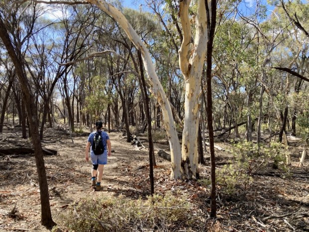
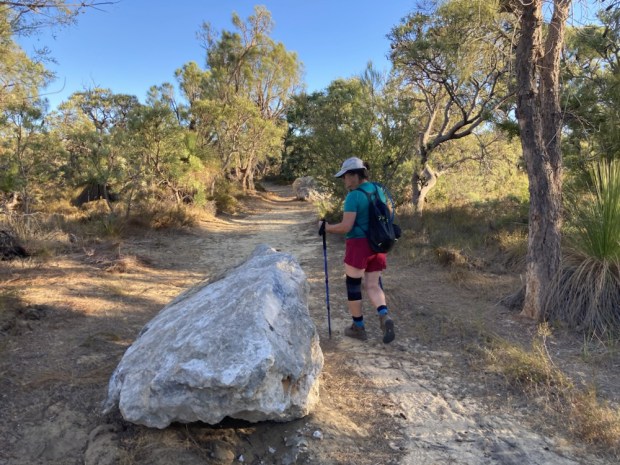
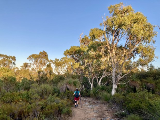
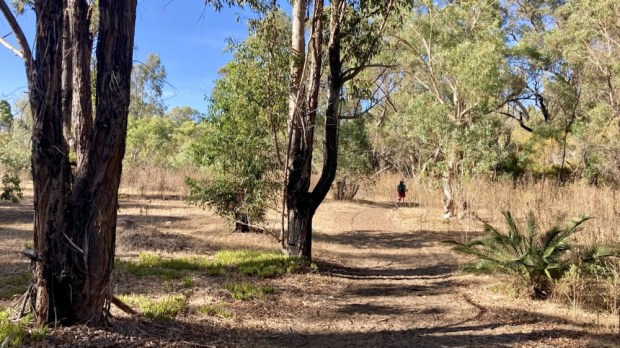
We headed up there to camp out in the jeep and tackle a couple of the longer trails that the park has to offer. With temperatures in the 30’s we wanted to avoid hiking in the mid day sun so leaving Perth early we were on the 14km Yanchep Rose track by 7, enjoying the light of the ” golden hour”.

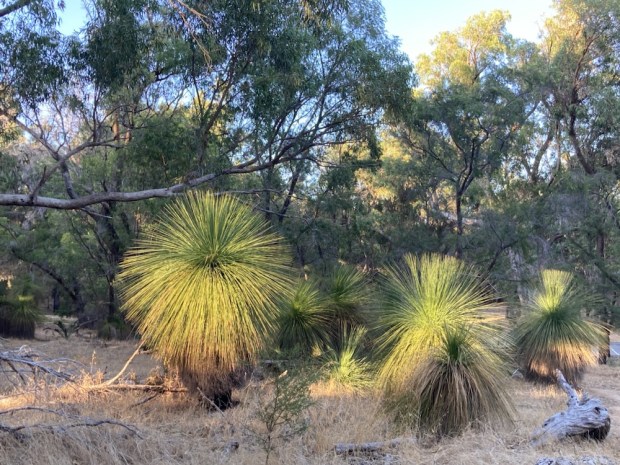
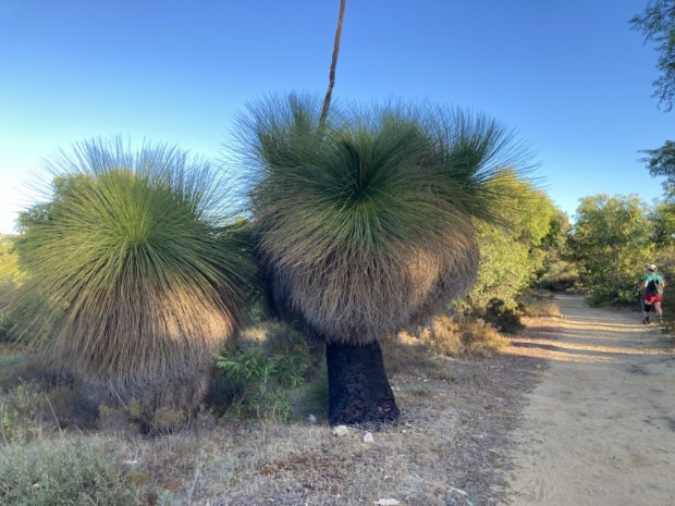
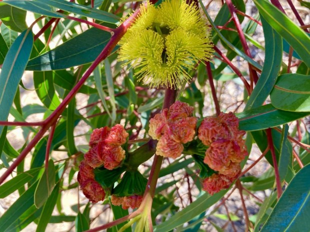
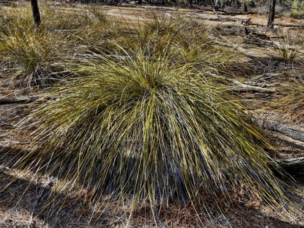
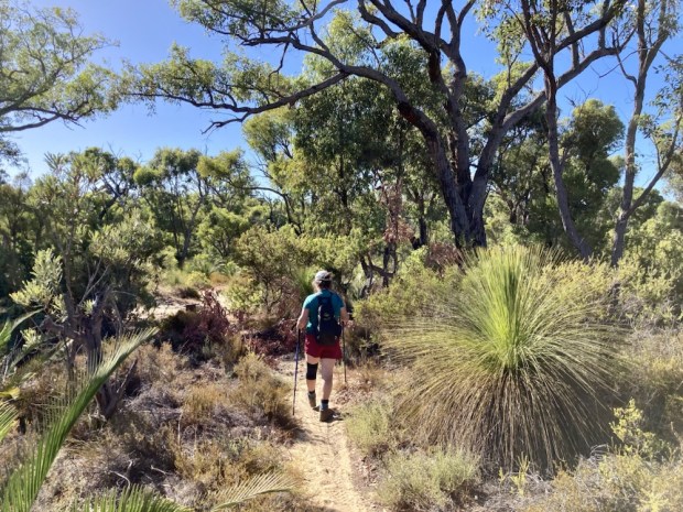
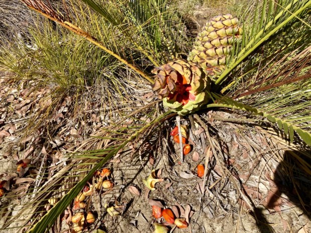
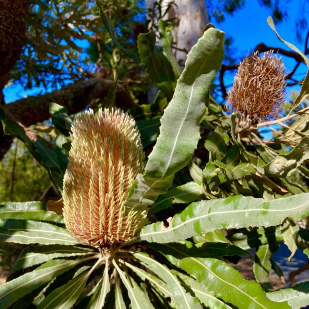
The beautiful grass trees , Xanthorrhoea, can live to be 350-450 years old growing at a rate of about 2 cm a year. It takes them 20 years before they even form a trunk but they are made of strong stuff, able to withstand the inevitable bush fires, in fact often flowering profusely after burning. Much valued by the Aboriginal people for food, fire sticks, fish spears, nectar and glue they can grow in very nutrient poor ground thanks to the mycorrhizal network of symbiotic fungi amongst its roots helping to take up nutrients.

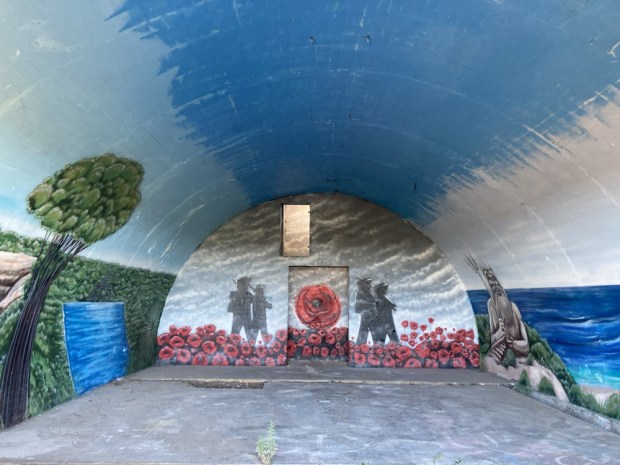
We had to cross a main road before heading off on sandy tracks through the banksia shrub to discover a couple of WW2 radar bunkers recently well graffitied to commemorate that history.

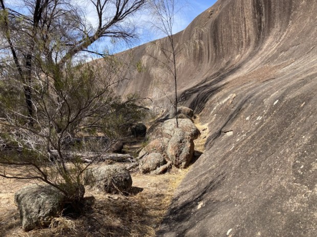
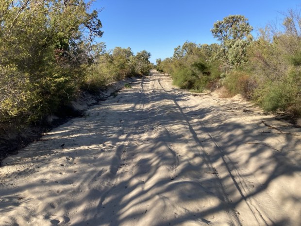
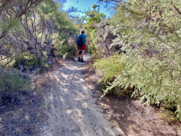
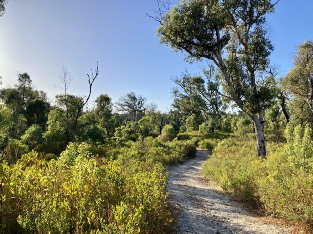
After a drink and a snack we moved off again, crossing a wide sandy track, meandering slightly up and down and twisting this way and that through the varied, but usually prickly, vegetation towards a limestone outcrop in the distance.

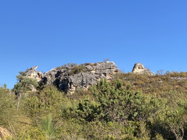
Climbing up allowed us a fine view over a huge area of untouched vegetation. Worryingly though we could make out a forest of cranes towards the coast. One of the biggest threats to the park and its fauna is the continuing fragmentation and loss of habitat due to land clearance for infrastructure and housing.

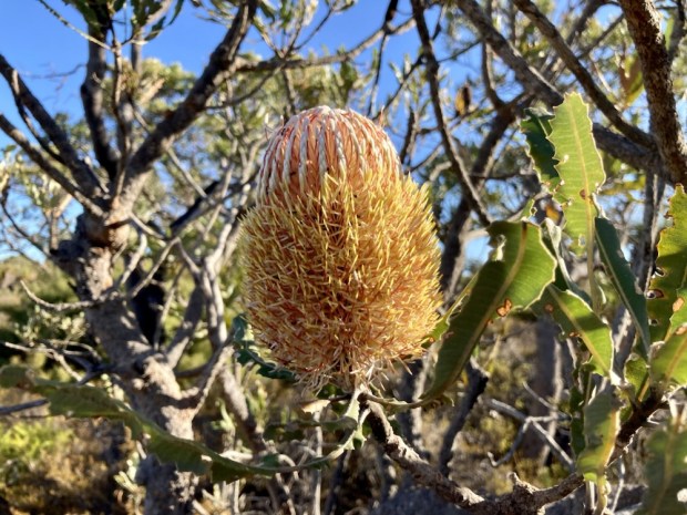
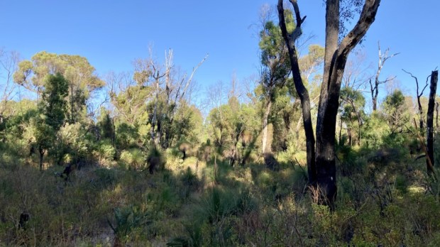
With temperatures rapidly rising and still before 9am we carried on round the loop, marvelling at the variety of plant forms and thinking how special it would be in the spring when so much is in glorious flower.

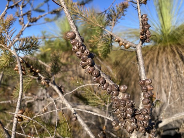
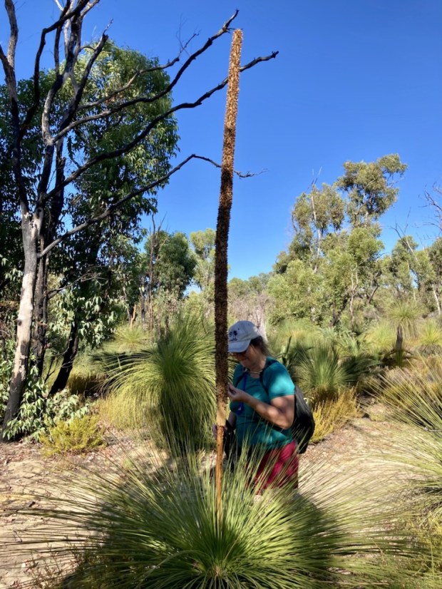
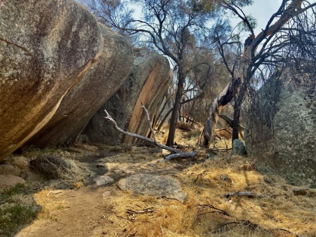
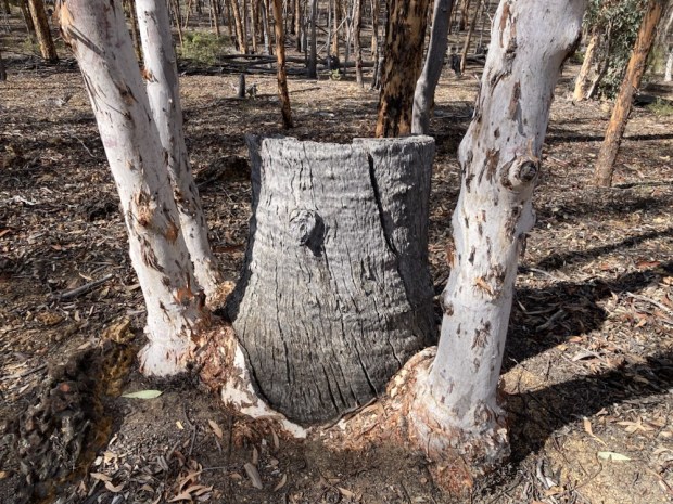
There were usually signs of the prescribed or planned burning done to reduce the amount of dry wood fuel on the woodland floor and so avoid catastrophic fires like the ones in 2019 that swept through the area. Burnt gum trunks sprouting vigorous suckers and blackened grass trees. You could tell how long ago the fire was by the length of the ” grass skirts” billowing out from below the fresh fronds.

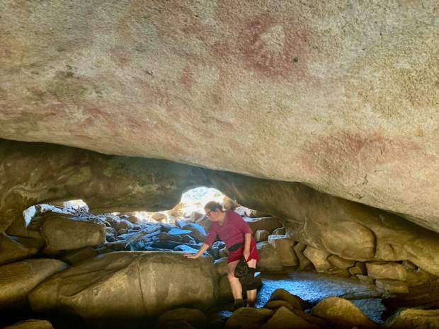
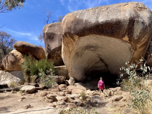
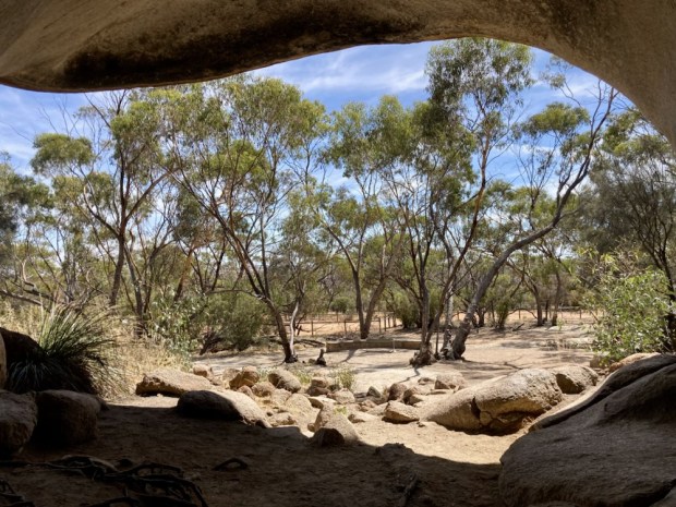
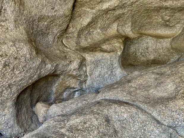
Crossing the public highway again we were soon back in the Park centre, passing one of its tourist attractions the Cabaret Cave, a large limestone cave rentable for functions for up to 200 people since the 30’s and one of 450 known caves in the Park.

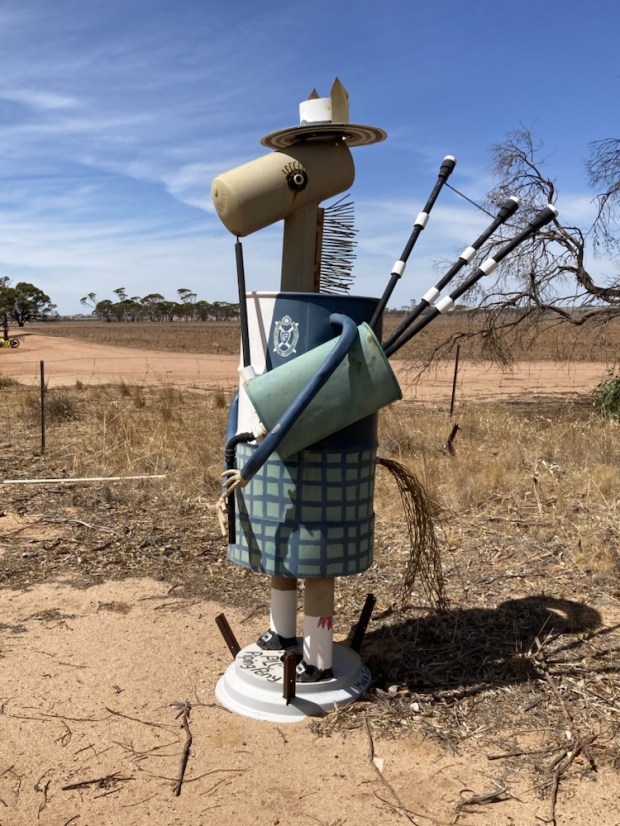
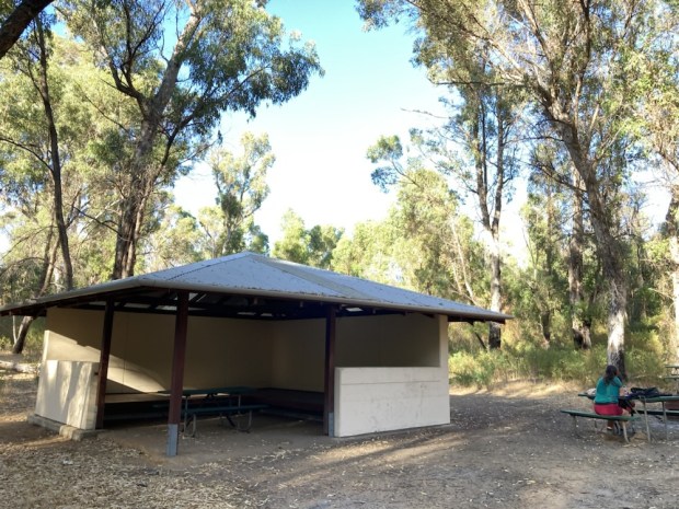
After a cooling shower at the parks camp site we explored the central area. Like all good tourist honeypots, and this was one – attracting over 250,000 visitors a year, there was a tea room, ice cream parlour, gift shop, masses of picnic areas and even a pub, restaurant and hotel – which was heaving by lunch time, banging out the roast beef and yorkshire pud buffet carvery.

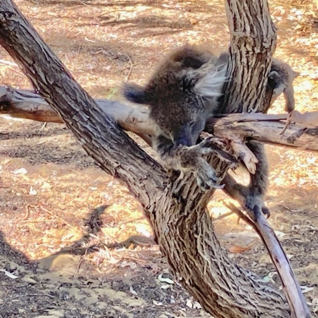
There was also a non native koala compound with their non native gum food source, an area that hosts Aboriginal culture talks and demos and a tree-top adventure centre. All very unlike the usual Australian Parks wilderness approach. Formed in 1969 from the pre existing hotel resort they decided to roll with it and now have a golf course and even helicopter rides on site.

The 255 ha Loch Mc Ness wetlands area is a particular treasure with big areas of sedge swamp, Yanget ( the Nyoongar peoples name for bulrush and source of the Park name), 50ha of open water and swamp Banksia and Paperbark edging woodland. Seemingly shallow the bottom is an unconsolidated peat mass through which water flows to a depth of 6m. Many other wetlands have either been filled in or subjected to pressures of pollutants and clearing.

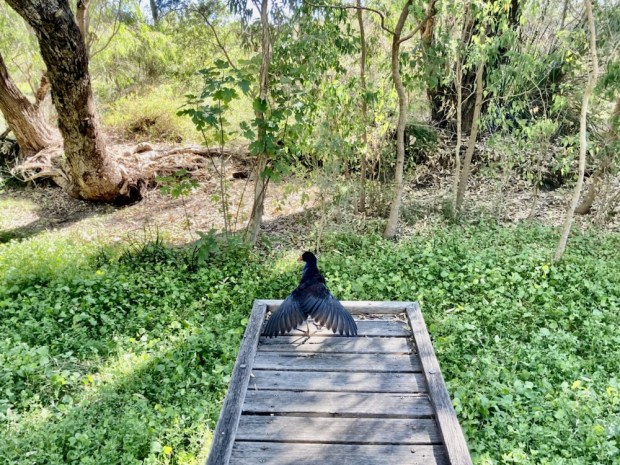
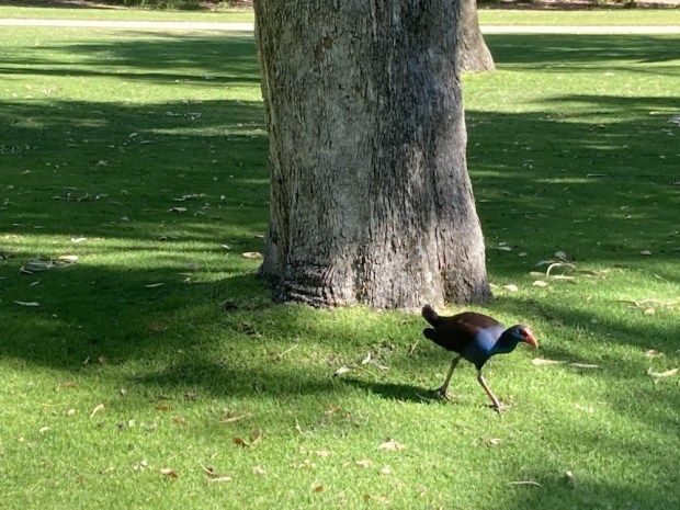
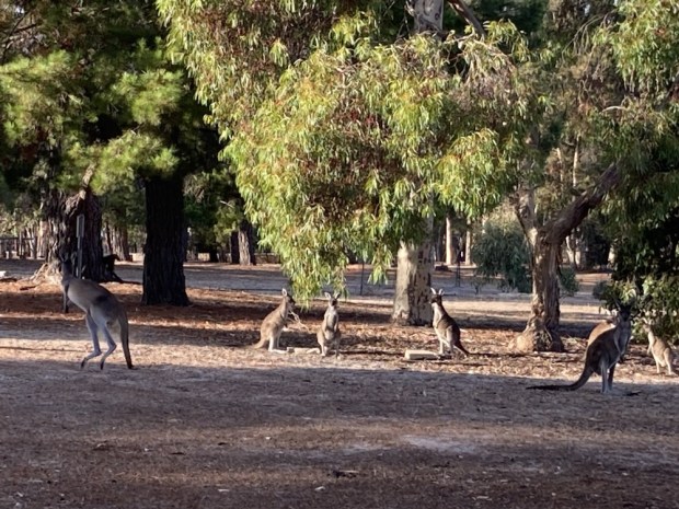
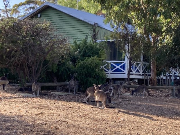
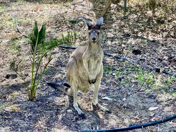
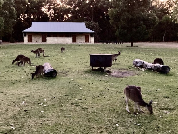
We are not good at spotting birds but the wetlands and woods are home to many. Grebes, swans, pelicans, cormorants, egrets, parrots, honeyeaters and kingfishers can all be found. There were plenty of Western Grey Kangaroos on the lawn of the campsite when we set off on the 12.5km Ghost House Trail early next morning.

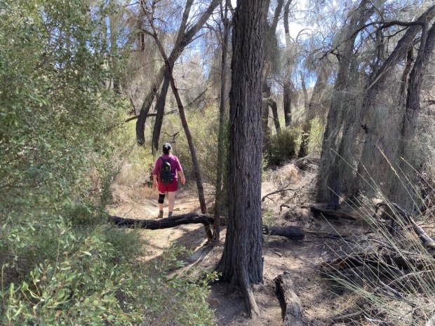
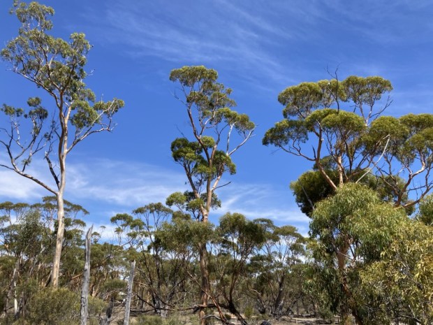
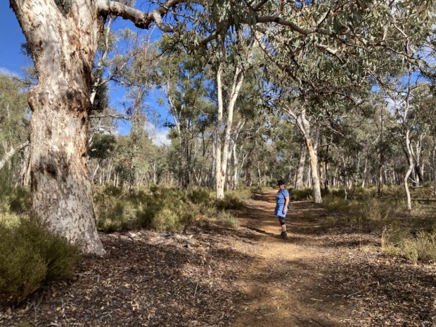
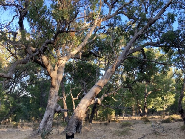
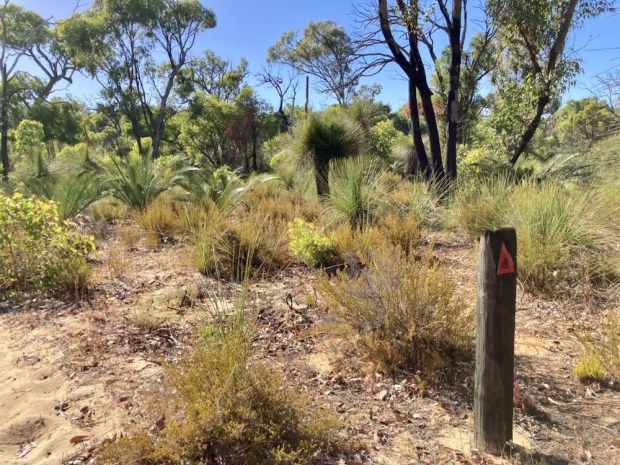
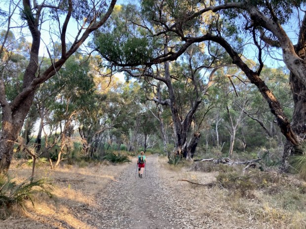
This walk was through a different landscape than the day before, being predominantly forest of big Jarrah and Tuart with lots of she-oak, paperbark, mallee and banksia with a verdant understory.

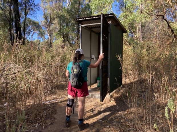
About half way round we overlapped for awhile with the Coastal Plain Trail a 52km linear walk that has 4 huts along its length to overnight in. We came to one, the Shapcotts Campsite complete with rainwater tank and long drop toilet. Soon after we came upon the supposedly haunted ruins of an old house but no history was supplied.

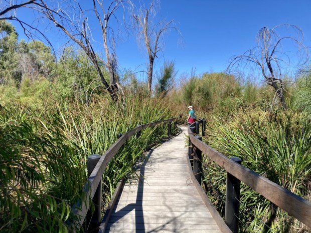
The walk continued in a loop back through some more open heath then a rising and falling lumpy limestone track above the wetlands before finally contouring the top of Loch McNess on boardwalks over the lush and verdant vegetation.

In no time we emerged onto the manicured lawns of the Yanchep Inn and hurried back to the campsite to shower away the sweat and dirt of the trail. With the temperature set to rise higher into the 30’s and the sea only 15 mins away an easy decision was reached.

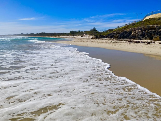
Yanchep lagoon was a safe spot to chill. With a reef just offshore to calm the waves and a life guard station supplying ample shade it was an ideal ending to a couple of days hiking in the heat.

WALKABOUT: Wanders in the Wheatbelt

Visiting our son and partner and their new born daughter on the other side of the world in Perth, Western Australia, we went still further out for a few days.

Out into the vastness of the ” Wheatbelt” of W.A., an endless landscape of low rolling hills studded with little patches of forest remnants, reminders of the country that used to be. Between and surrounding the green trees is a desert like prairie of grain fields, won by the settlers of the 1920’s by the body and soul breaking work of clearing the ” unused” land of its flora and fauna.

The Wheatbelt covers an area of 155,000 sq km, about the same as England and Wales, but has a population of only 75,000 as opposed to 60,000,000 in England and Wales. And nearly all of them live in the 200 towns and settlements in the area- which means that on the 4 hour drive out to Hyden we didn’t pass many farmhouses or farmers.

Hyden is pretty central Wheatbelt. A town pioneered by sandlewood cutters around 1900 it was producing wheat by 1927 although the railway for exporting the harvest didn’t arrive till 1930. By this time there were 60,000 sacks of grain waiting in storage. Nowadays the silos and grain stores have a capacity of over 60,000 tons.

Although it’s a dry area with only 325mm of rain a year ( at home in western Ireland we have at least 5 times as much) it manages to produce huge amounts of grain, lupins and field beans and peas each year, along with cattle and sheep.

But we were here to see some natural attractions- first up was Mulka’s cave, a sacred and significant aboriginal site at the base of a big granite monolith called The Humps.

The cave, a special place for the Nyoongar people for many 100’s of years, has been found to contain 450 hand stencils and other motifs in a variety of styles and colours.

There were a couple of trails that led up and around the Humps to see the rock basin waterholes ( gnamma holes) and the stone walls that led water runoff into a reservoir but it was too darned hot so we went to our cabin accommodation passed the salt ” Magic Lake” to partake in a bobbing session in the man made gypsum spa pool- a cool and refreshing float.

After caking ourselves in the healing mud and attempting weightless swimming in the salt rich waters for awhile it had cooled enough for us to explore the areas main attraction, Wave Rock.

Formed over 2.7 billion years of weathering and erosion above and below ground level the granite edifice is 15m high and over 100m long. As the name implies and Sally’s amusing surfer pose indicates it resembles a giant desert wave about to break over the campsite and picnic area.

It’s sited at the bottom of another huge bare granite hill which also has a snaking line of wall to funnel rain water into the reservoir that serves Hyden and made settlement of the area possible. Originally constructed in 1928 the dam was extended in the 50’s to hold 30,000 cubic meters collected over a catchment area of 30 hectares. We followed a trail up the rock to explore.

The height gave us a fine view of the surrounding plain, forest and salt lakes and as the sun began to sink to the horizon it gave a warm glow to the sculpture like rock forms.

Making it down the steep slope of the Wave before dark we retired to the cabin and were greeted by a similar glorious sky in the morning when, after an early morning float ( the pool is floatier than the Dead Sea), we returned to Hydens Rock for another walk. This time north along its base to Hippo’s Yawn on a path through the Mallee, Gimlet, She-oaks and Salmon gums. The Earth at the base was rich after millennia of nutrients washed down the algae covered rock.

Time to head east for a couple of hundred km for a night in Dryandra Woodland, a fragmented but critically important area of remnant vegetation and a biodiversity hotspot where more than 850 species of plant can be seen.

To get there we drove down a road known as the Tin Horse Highway, a 12km stretch leading to the small town of Kulin where the local community decided in the mid 90’s to promote the annual Bush Races by building some horses out of farm scrap and erecting them on the road to the Jilakin race track.

Since then more and more have been added and now number over 70 and have become more of an attraction than the races themselves. With places to go and so many horses to see we couldn’t stop at them all but I give you a sample.

And as I’m writing this on the 17th of March …… Happy Paddy’s Day

Stopping again for a cool off in Wickepin community outdoor pool, ( admission $1 for OAP’s ), we reached the Dryandra Woodland Village mid afternoon. Since 1972 the collection of 8 wooden cabins, large ex airforce Nissan huts and a study centre have been run by the voluntary group Lions International and we were greeted by Les and Julie the caretakers who gave us a bit of the places history.

From the early 1900’s till the 1960’s the Forest Dept ran a Mallet bark harvesting operation for the tanning industry. It set up the settlement of cabins for the workers and their families in the 20’s and following the collapse of the business the village was abandoned until the Lions took it over with the intention of providing a holiday camp for disadvantaged children.

Now popular with tourists and study groups the cabins are usually booked out by people keen to switch off from phone, TV and internet and enjoy the many hiking trails. The woodland was designated National Park status in Jan 2022.

Just back from a hike through the wandoo, kwongan, mallee, sheoak and mallet Les called round to tell us to come down to his cabin to see a python who was digesting a parrot. Not an everyday invite.

Apparently a weekly occurrence the python that lives in their roof would hang out (literally) under the bird bath and grab a parrot, squeeze it to death then swallow and slowly, slowly, with the help of a narrow fork of branches, force the bird down through its guts. A protracted dinner time.

Les invited us to come down again in the early morning when he feeds the Roos that live in a group around the village. In the meantime we were going to go on a nighttime walking route with reflective signs for torchlight in the hope of catching sight of one of the 24 mammals that live here, many rare and nocturnal.

Unfortunately we had no luck spotting any bilby, boodie, mala, woylie, quenda, marl or possum but we did nearly get lost.

In the morning we joined Les and watched as the Kangaroo mob warily came to his back porch and enjoyed a breakfast that as Les admitted, he shouldn’t really supply, but that may save a hungry Roos life if he strayed onto the surrounding grain fields and got shot.

After breakfast we headed off on the Woylie Walk, a 5.5km trail through the powder bark, jarrah and rock sheoak. There were little holes in the ground everywhere, the workings of woylies, and signs of numbats digging for termites, but no sign of the woylies or numbats themselves. Nor did we see any echidnas, wallabies, bandicoots or possums but it was enough just to know that such exotica was out there somewhere.

Great to have experienced the Aussie woodlands again, and feel again the vastness of this continent driving for hours through the open landscape. And get in touch again with the feeling of an ancient spirituality that can come from the Aboriginal idea of personal connection to “country”.

A place that can feel like home even though it’s the other side of the planet. Small world I guess.