IRELAND

DELPHI and SCREEB: Sporting Lodges of the Wild West

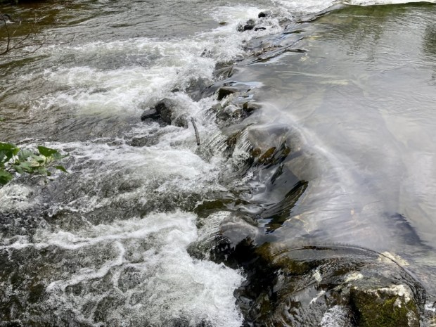
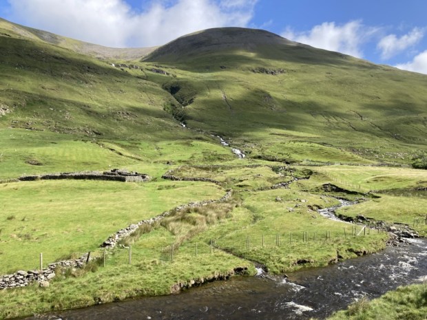
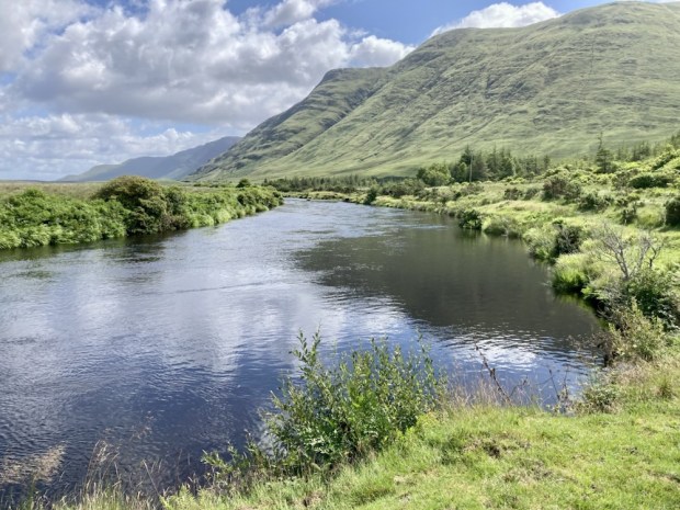
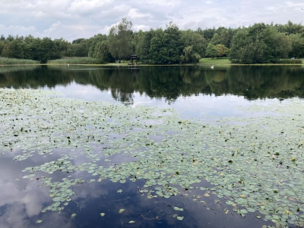
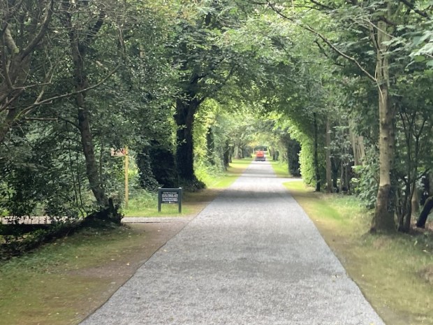
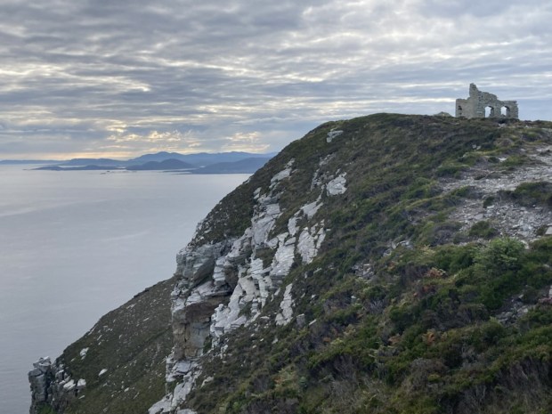
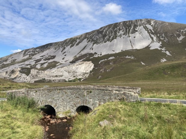
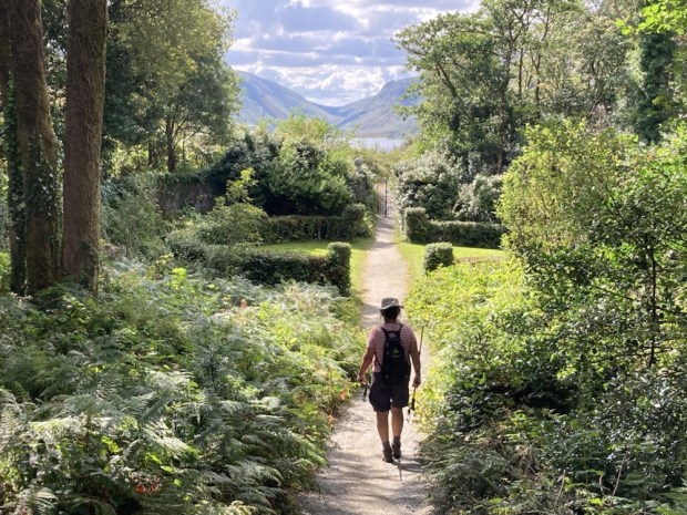
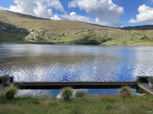
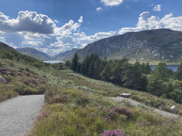
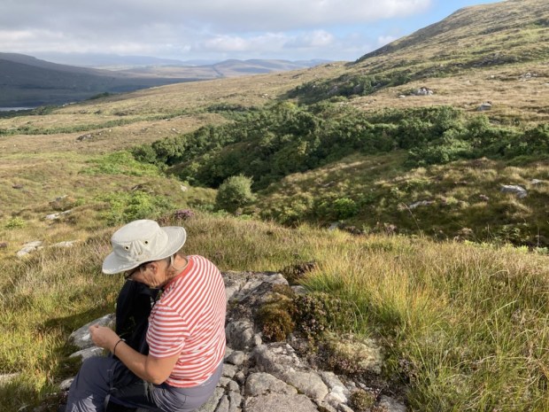
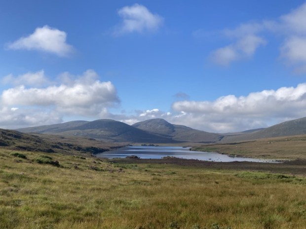
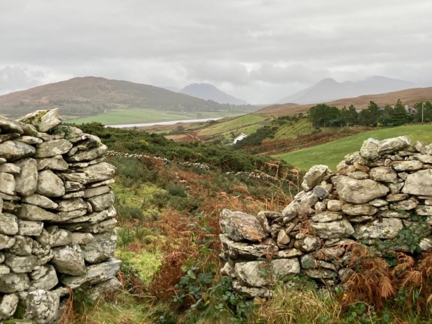
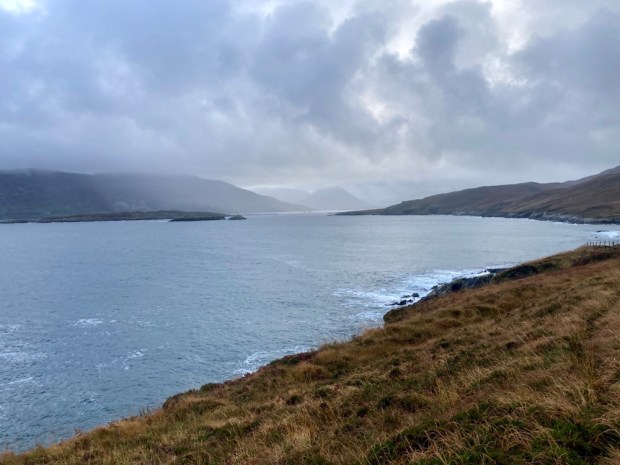
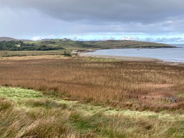
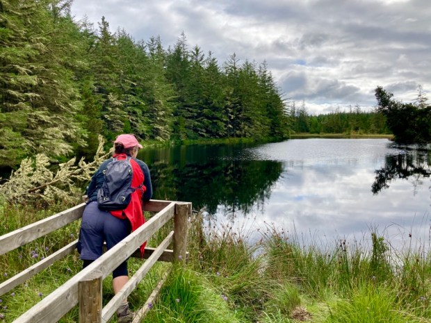
A micro adventure into luxury in the midst of savage beauty took us north around Killary Fiord and into Mayo and the lonely Delphi valley. Following the Bundorragh river up from the little harbour on the fiord we passed Fin Lough and swept up the tree lined drive to the serenely cosseted environs of Delphi lodge.
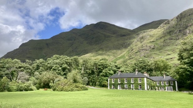
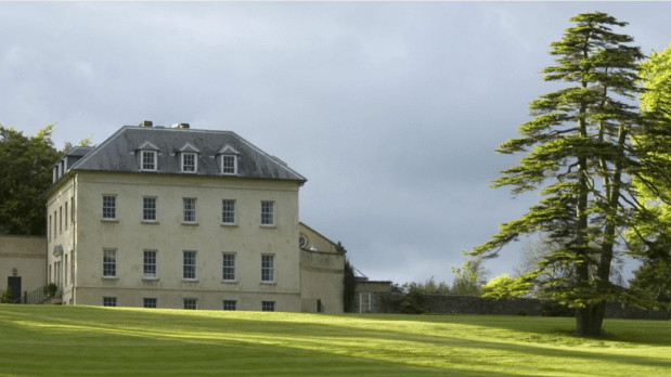
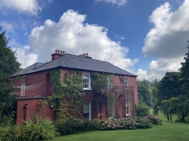
The 1000 acre estate and Georgian country house , built for the Marquis of Sligo in the 1830’s, is a renowned salmon and sea trout fishery surrounded by the tallest mountains in Connaught. At great pains to point out it is not run as an hotel ( no room service, no tv, no porter, no menu choices etc) it is still very popular with paying guests, many of whom return time and again to fly fish and relax. The dining is communal around a massive oak table and the bar is self service/ honesty book. There’s a billiards room, a library well stocked with shooting and fishing tales and a sofa stuffed lounge where canapés are served pre dinner.

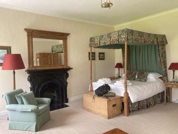
King Charles, or Prince Charles at the time, had stayed in our room for a couple of nights on a solo painting and fishing trip back in 1995, the very first trip by a British royal to the republic since the foundation of the state. I fancied I could smell the privilege around the four poster bed.
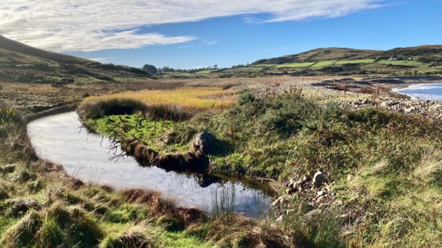
With the scudding tumulus creating a light show of sun and shade across the lake and mountains we were drawn out to explore. Following the Owengarr river upstream from Fin Lough towards Doo Lough we marvelled at the clarity of the water. Before too long we reached the hatchery where 50,000 salmon smolts are raised and released a year, dramatically increasing the salmon population. To protect the genetic integrity of the wild fish all those from the hatchery, marked by clipped fins, are killed if caught whereas any wild fish must be released. All sea trout are released. The big circular tanks were writhing with life.

Walking back through the woodland we noticed the invasive rhododendron had been effectively dealt with by cutting slots and presumably poisoning. The Atlantic Rainforest climate made for a mossy green environment in one of Irelands wettest places.

After our night in the room resonating with the memory of a royal we travelled up the road a little to the scene of a famine era tragedy caused by a heartless colonial British Empire.
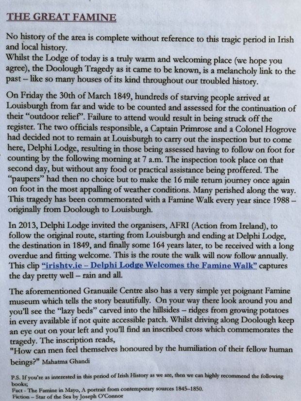
I’d been on a couple of the Famine Walks from Delphi Lodge to Louisburgh mentioned above and found them a powerful collective experience that focuses on the many injustices that continue around the world. The fine weather removed the gloom that can linger here under a dark and oppressive sky and we took a trip a little way up the Glenummera river that runs into Doo Lough from the Sherry Hills to the east.
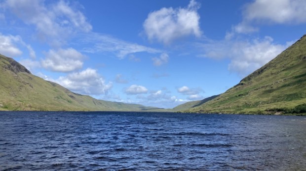
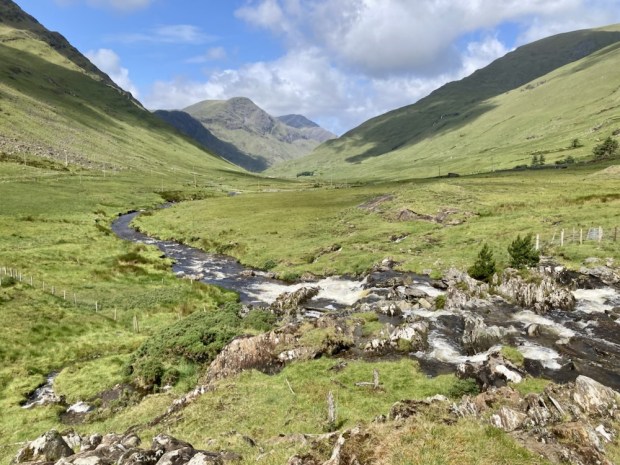
Returning to Delphi and saying our goodbyes as the fisherman cast their flys into the lake we moved back south to the head of the fiord to walk the Western Way along the Erriff river.

Starting out from the famous Assleagh Falls, where Sir David Attenborough was filmed explaining the life history of the eel and a fight sequence appeared in the movie of John B Keane’s The Field, we followed the waters upstream.

The country opened up before us, the wide Erriff valley faced with the Devils Mother to the south and Ben Gorm rearing up to the north. The river is one of Ireland’s premier salmon fishing rivers and has been designated as the National Salmonid Index Catchment, used as a prime example of a salmonid river system of high quality with a research station and trapping facilities. Managed by Inland Fisheries Ireland who carry out a wide range of research and monitoring on salmon, sea trout and brown trout, the work involves cooperation with lots of national and international research partners.
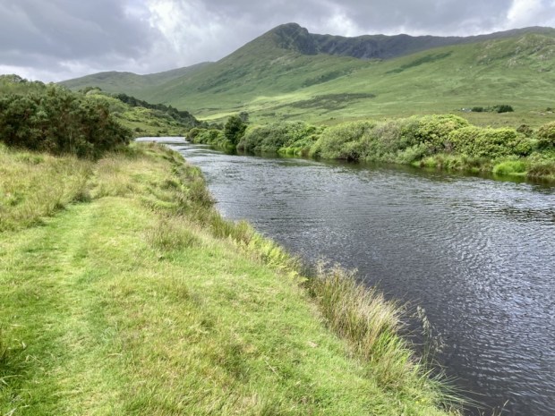
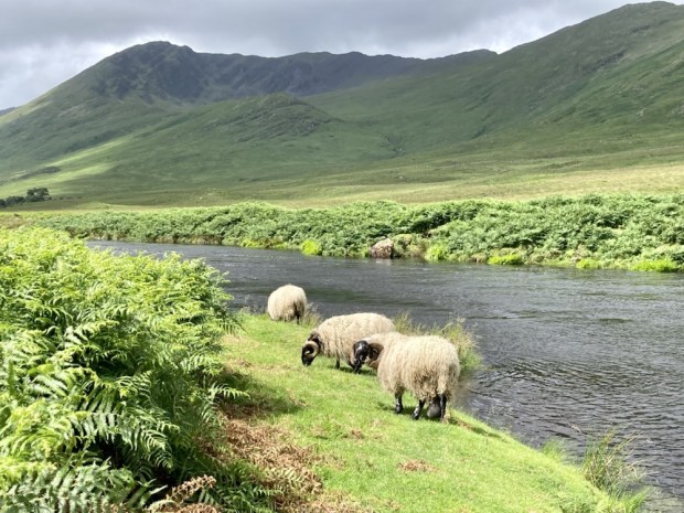
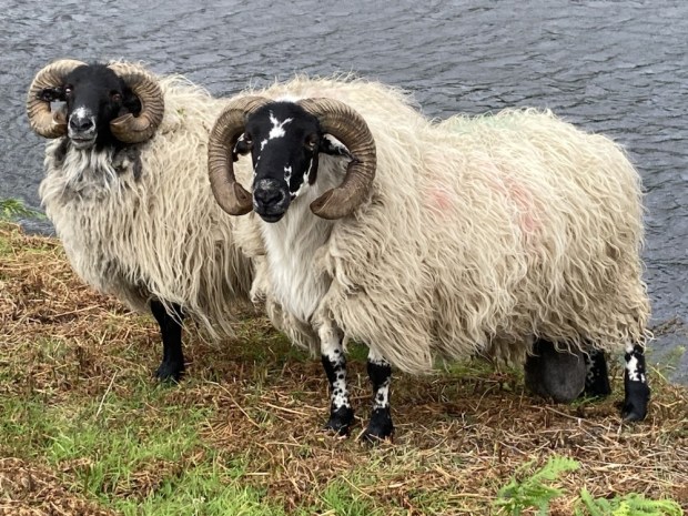
We came upon a few fly fisherman trying their luck, testing their skills, but mostly the valley was empty apart from a few sheep, one of whom had an unfortunate problem with a hugely enlarged scrotum.

The Western Way continues across Mayo for another 130 km, up past Croagh Patrick and Westport, northwards up Clew Bay, across the wilds of the Nephin Begs and the wilderness of Bellacorick bog and Sheskin forest to Ballycastle. But for us it was time to turn around and return to the Falls. We were going to Rosmuc, in South Connemara and another fishing lodge.
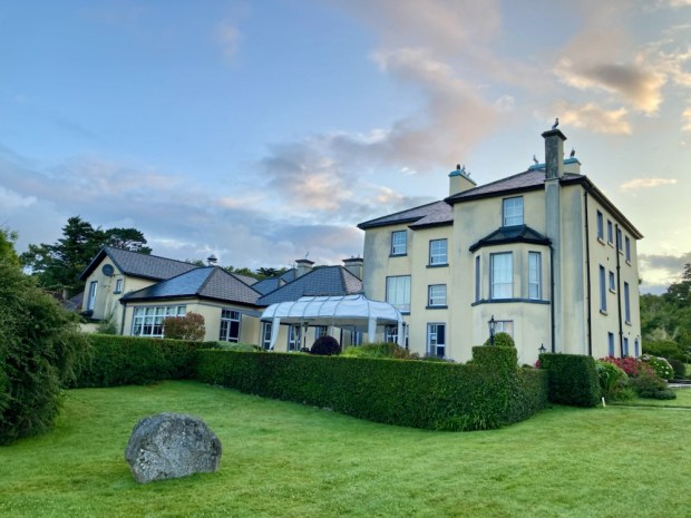
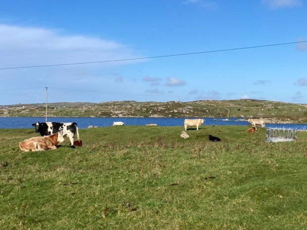
Screeb House on the shores of Camus bay is a vast fishing and hunting lodge. At 45,000 acres it is one of the largest hunting estates in the country and 16 red deer were introduced in 1996 after an absence of 150 years. They grew into a herd of about 150, managed skilfully by Paul Wood whose methods produced the largest stags in Britain and Ireland. Never confined and free to roam the mountains, bog, moor and forests browsing on bramble and ling heather they were selectively culled when old or frail. One stag known as The Sailor was so massive a team of 7 men with a quad bike couldn’t shift his carcass. They had to quarter him where he fell and weighed in at 50 stone, whereas the heaviest Highland beasts seldom exceed 20 stone.

The fishery includes 16 interconnected loughs and the number of rods allowed on the river beats and lakes is strictly controlled for conservation of stocks. The hatchery produces 50,000 smolts a year, like Delphi, released into the pristine waters over the estate.

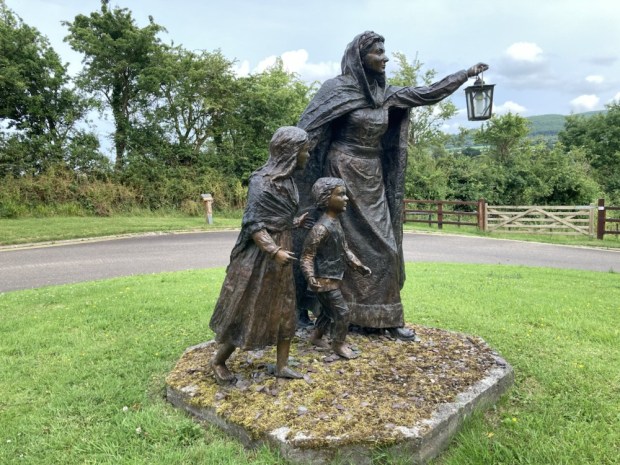
The house was built in 1860 for Thomas Fuge and was bought by the Berridge family, owners of Ballynahinch Castle, brewers from London who managed to accrue 160,000 acres of co Galway. Lord and Lady Dudley also spent a lot of time there when he was the Lord Lieutenant of Ireland. Lady Dudley, shocked by the poverty of the locals and lack of healthcare set up the Dudley Nurses.

Although not medically qualified she went on to do the same in Australia,and start a flying doctor service when her husband was appointed Governor General there in 1908, and later setup field hospitals on the 1st WW battlegrounds of northern France. Tragically while back at Screeb in 1920 she went for a swim from the harbour there and was found drowned later.

I’d spotted a dotted line on the Ordnance survey map of the area, a track, that crossed the lake studded empty wastes of the bog from Rosmuc to Maam Cross, a distance of more than 10km. Before the coast road was built in the 1850’s this was the only route there was and we followed it into the past.
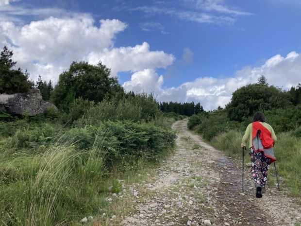
The big sky and wide horizon opened up, with long sighted views across the vastness to the Bens and Maumturks beyond. The rough and rocky path took us down to the shores of Lough an Oileain, where in Penal days the mass would be celebrated secretly.
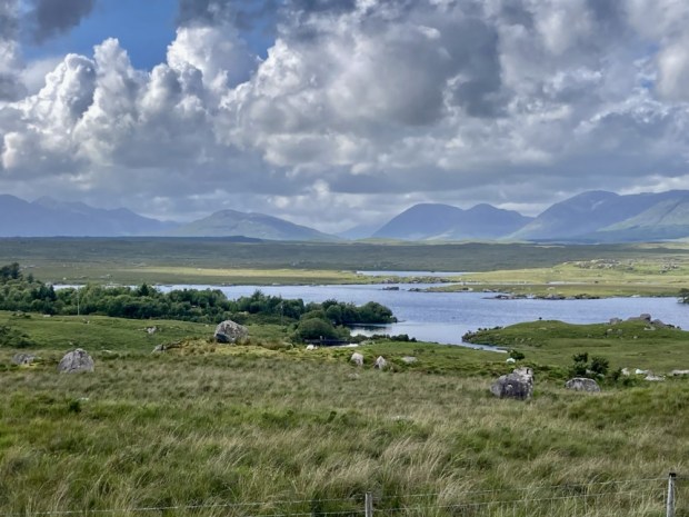
We followed the traces of the past, drawn towards a place that resonated with the ghosts of lives lived long ago. Tim Robinson, map maker and Connemara geographer, described it better than I could in his book A Little Gaelic Kingdom.

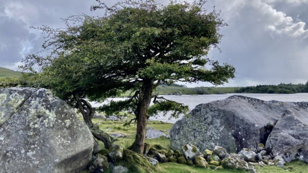
It was truly a place of melancholy spirit but with a strength and perseverance to survive in the hardest of times. The hawthorns were remarkable in their endurance but were at the end of their lives as witness to relentless hardship.

The wilderness here is to me an irresistible force and I like to think that I will be back to continue to follow the dotted line to Ma’am Cross but for now it was time for us to return to the pampered life of a house guest in a Connemara sporting lodge.

RIVERWALK: Gardens on the Awbeg and Blackwater

Another quick overnight expedition in the camper saw us down in the rich farmland of north Co Cork to visit a couple of places in the care of the OPW and discover a couple of others.

First up was a 30 acre garden and historic house on the river Awbeg, which rises in the Ballyhoura mountains and joins the Blackwater at Bridgetown Priory a few kms south of Castletownroche from where they flow east to the sea at Youghal.

Anne’s Grove was home to the Annesley family from the 1600’s until it was gifted to the Irish state in 2015. The gardens were developed by Richard Arthur Grove Annesley in the Robinsonian style of naturalistic landscape design in the early 1900’s.

Robinson was an Irish gardener who proposed a break from the regimented blocks of 1000’s of bedding plants and formal layouts popular at the time. Made possible by the removal of the ” glass tax” in1845 and the subsequent construction of large glasshouses on the estates, the amount of tender bedding raised and planted out was a gauge of wealth and status.

Robinson’s ideas were for more sustainable and ecological planting, more climate appropriate, less wasteful and labour intensive. His book The Wild Garden, written 150 years ago, was ahead of its time and became a major influence on later gardeners like Gertrude Jekyll.

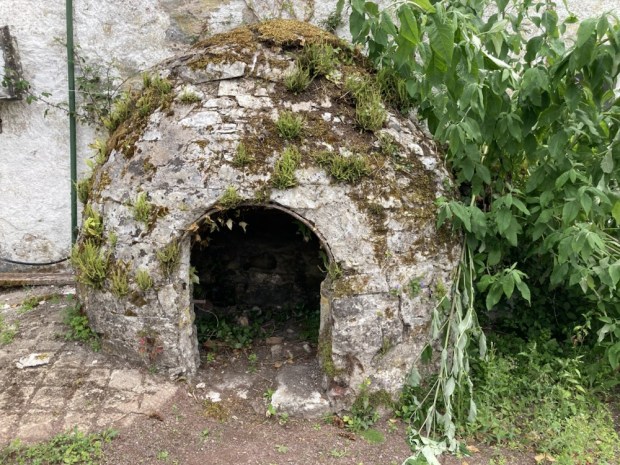
We started our rambles at the house and courtyard where the restoration is a long term work in progress. There was an impressive bread oven and cobbled dung pit and a collection of carriages.

Down to the river past a collection of tree ferns and perennial beds with a backdrop of many tree species. Richard Annesley supported plant hunting expeditions to Tibet, Burma and Bhutan and assembled an exotic collection of plants at Anne’s Grove.

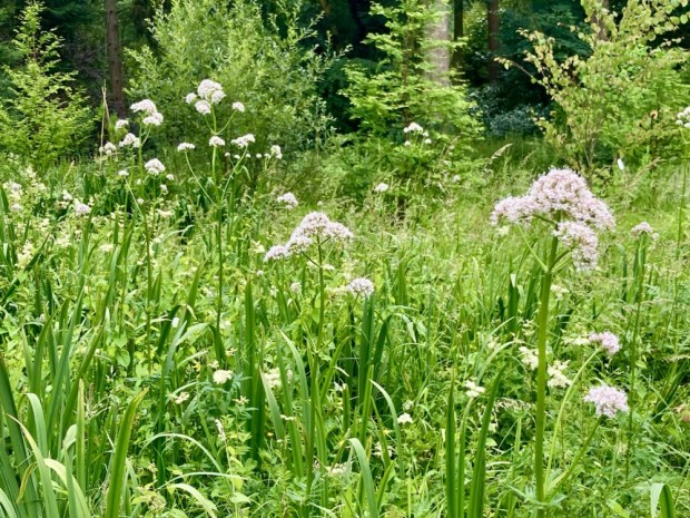
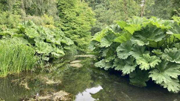
In the lush water meadows meadowsweet and Angelica were rampant and bamboo, gunnera, skunk cabbage and Himalayan primula crowded around a wealth of recent tree planting.

The Woodlands Garden holds some of the earliest rhododendrons introduced into Ireland but their flowering was over and we moved into the more formal walled garden, originally laid out in the 18th century.

In 1996 the Tree Council of Ireland planted 14,000 sessile oak with help from the Mitsubishi Electric Ireland Foundation, the same year we started our woodland plantation and it was good to see they were in similar health.

The river levels were very low after such a protracted dry spell so it was not a spectacular sight but we couldn’t get to it at all at our next stop, Bridgetown Priory.

Although on the confluence of the Awbeg and Blackwater we were foiled from our hoped for riverside walk by fencing, cattle and impenetrable vegetation, so confined ourselves to exploring the impressive 800 yr old ruins.

Dissolved by Henry VIII in 1541 it stood cloaked in ivy for centuries until Cork county council undertook restoration work in the 1970’s and again in the 1990’s and 2010.

Alexander FitzHugh the Norman Lord of Castletownroche, patron of religious orders, gave land, pasture, woodland, water mills and fisheries to the Augustian Cannons to found the priory around 1210 and it became the most valuable in the diocese housing 300 canons.

The remains of the choir and presbytery, the cloisters and refectory were impressive as was a 13th century grave slab but most poignant was the tomb vault where an old woman and her two cats lived for at least a couple of years, supported by charitable locals.

Looking for a nearby level park up by the Blackwater Google Maps threw up the Nano Nagle Centre for Heritage, Spirituality and Ecology. Intriguing. The website mentioned a Cosmic Walk alongside the river- enough said.

Home to the “Old English” Nagle family of Norman descent from the mid 1300’s the estate, which gave its name to the Nagle Hills south of the Blackwater, was lost and regained twice when supporting the losing side in the Cromwellian Wars and as supporters of Catholic James 11 against William of Orange.

Nano Nagle was born here in 1718 and educated , as a catholic illegally, in France. After 20 years away she returned and , shocked by the poverty, decided to dedicate her life to the education and betterment of the poor catholic, particularly girls. To that end she became an ordained nun and founded the Presentation Congregation.

Their website states that the centre “provides tranquillity and spirituality and is the perfect location for those looking for some time out in a peaceful setting. ” That was us.

Unfortunately one of the Sisters we met said we couldn’t park up for the night because they had ” no insurance “. Hmm.

Still, the others were very nice and friendly and recommended we do the Cosmic Walk, a 2 km trail around their 30 acre organic farm with 16 stations marking out life on Earth since the Big Bang with info provided to your phone by scanning QR codes.

They say ” Our mission is to promote a vision of eco spirituality – the natural inter connectedness of everything, which leads to personal transformation and a sense of responsibility to our Earth and to all living beings”.

The info stations were sometimes adorned with sculptures of various life forms from the illustrated period and sat on rocks from all over Ireland formed at that time such as red sandstone, limestone, chalk, basalt and a lump of the ” oldest rock in Ireland” from the Annagh Series on the coast of north Mayo. They’d gone to a lot of trouble creating this Cosmic Walk.

Fair play to Nano Nagle- May her good work continue. We moved off to the neighbouring village of Killavullen for the night and more riverside rambles before heading northwest, back to the Awbeg at Doneraile. The richness of the land was such a contrast to our surroundings in the Wild West with vast fields of ripening cereal and huge farm sheds for all the straw and grain.

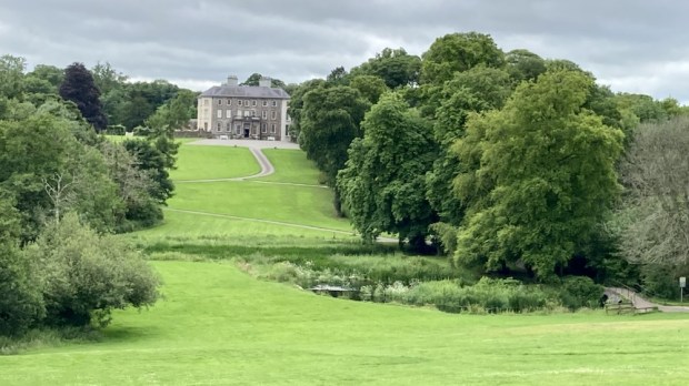
Doneraile Court, another property in the care of the OPW, is a fine example of Georgian architecture built of the site of the original St Leger family home of 1645 and surrounded by 160 hectares of walled in parkland designed in the naturalistic style of Capability Brown. A network of paths fan out across the estate free for all to enjoy.

We decided on the 3.5km Lower Walk which would take us along the river and through a variety of woodland, starting at a deer park. The sight lines towards the big house across the landscape of mature trees had been thought out for the long haul.

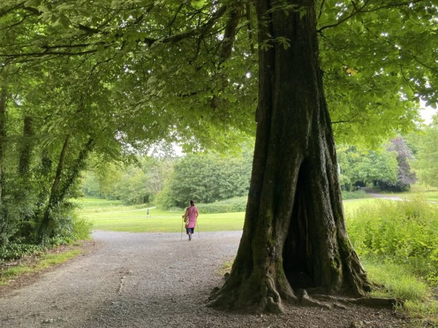
Most of the magnificent trees here were planted in the 18th century although lots of work continues across the estate. There are fine specimen trees of Lime, Cedar of Lebanon, Spanish Chestnut, Larch, Beech and Oak.

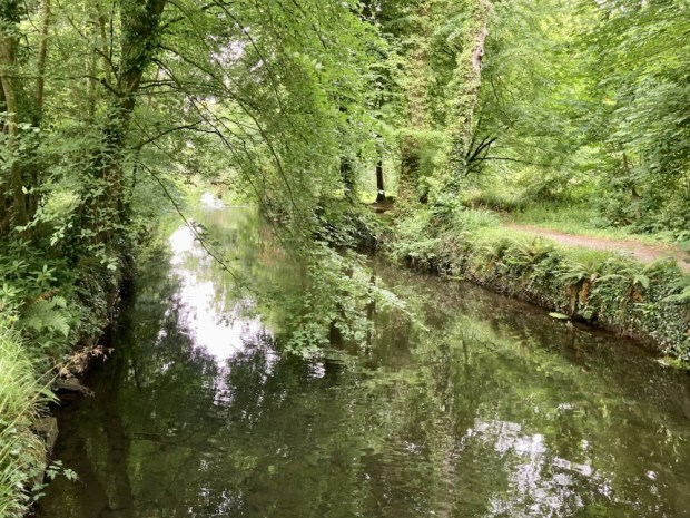
We followed the riverside path though verdant lush wetland areas of Alder and Willow being developed as wildfowl sanctuary, in contrast to the past when duck decoys were constructed to net the wild birds for the table. Rich in wildlife the habitat now supports swans, geese, ducks, herons and kingfishers feeding on the perch, pike and roach. The Awbeg here is also home to Otters and the prints of their webbed feet can be seen in the muddy river banks.

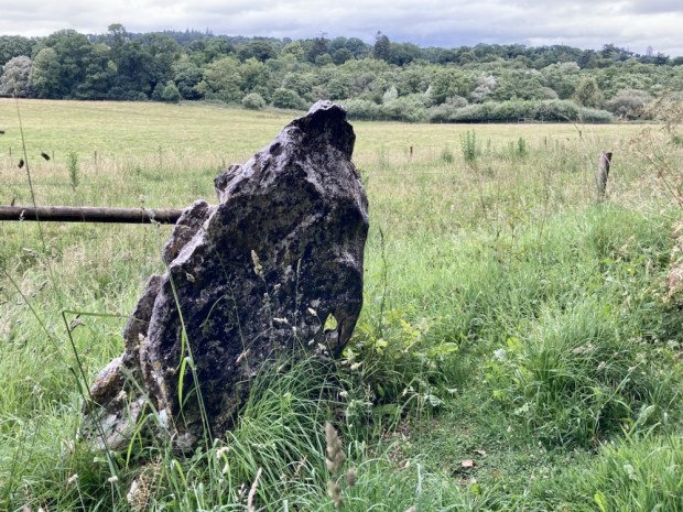
The large open grazing areas are home to Sika, Fallow and Red Deer and rare Kerry cattle. Alongside of the track stood a large stone known as the Toll Stone with some peculiar holes in it which seem to indicate a tollgate was here at some point. Nicely carved benches chainsawed from fallen trunks made for a resting spot as we admired the richness of the flower and grasses in the meadows.

The large fishponds originally built to contain fish for the table became mostly ornamental in the 19th century and water lillies planted in the upper pond became so rampant they blotted out the water completely in the summer.

Water and the control of it was a big feature in the design of Doneraile with dams, weirs, pools and canals constructed to create cascades and islands visible from the house.

It had been a nice little trip out to the fat of the land(ed gentry) in Co Cork but it was time to return to the rushes of Co Galway. A modest and sedate ramble that seems to be the way we go these days.

LOUGH GUR: A Midsummers Night’s Dream

Wondering where to go to celebrate the shortest night/ longest day/mid summer Soltice I thought of Lough Gur in Co Limerick, a place I hadn’t visited in many years.

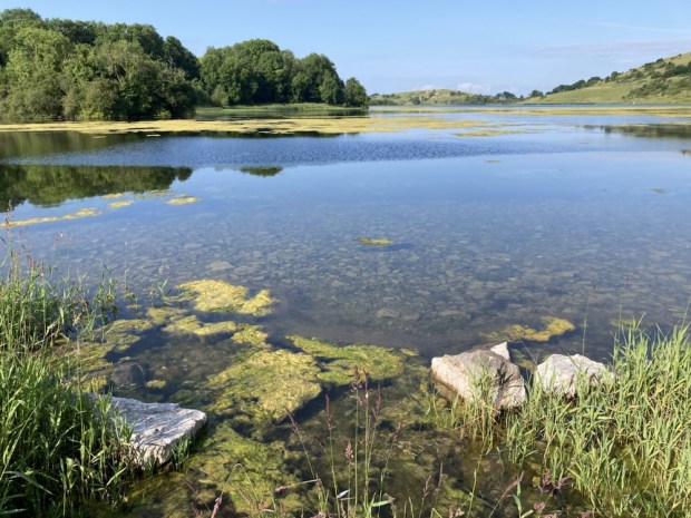
A sacred site for thousands of years and a place called home since Neolithic times I knew the area was chock a block with ancient sites of importance throughout the ages. And beautiful. And Irelands largest, and possibly oldest, stone circle – aligned to the midsummer sunrise- was still a place where the Soltice was celebrated.

So off we went, meeting our friends at the small car park by the circle where a few folk had started to gather in the evening sun light, making camp in the field owned by the friendly custodians of the land around.

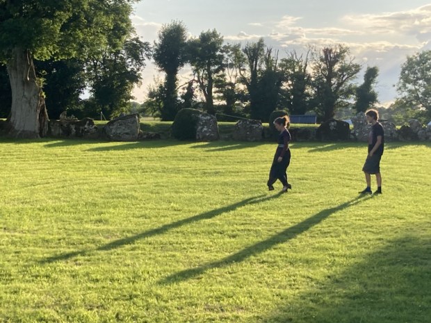
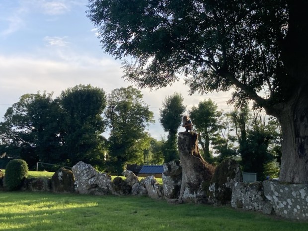
The circle is unusual in that the stones are continuous and have a big bank of earth behind them, creating a big enclosed sunken space that creates an audio delay effect when sounds created in the circle bound around the stones.

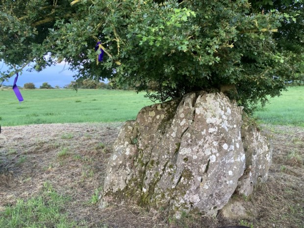
Massive and ancient ash trees grew from the bank in places, some hollow and showing their age but still magnificent, I only hope they don’t succumb to the scourge of Ash dieback. There are some particularly significant stones, including a huge slab weighing over 60 tons- the Healing stone- where I lay my back against it in the hope of better things. It is also the stone orientated to the mid summer sunrise.

The entrance to the circle is through a stone lined passage through the bank aligned NE/SW and through which the setting of the midsummer moon could be observed in the V notch opposite in 2500bc. There are numerous other alignments and orientations amongst the 113 stones in the 46m diameter circle which seem to link it’s ritual purposes to the various Soltice and equinox throughout the year but we will probably never understand what went on.

There was also a grouping of smaller stones where some votive offerings had been placed, this I discovered later was called the Harp Stone and was moved for the placement of the instrument- perhaps to avail of the sonic properties of the circle.

As the sun started it’s slow decent towards the horizon we went off to explore the immediate area, first to another stone circle, smaller, more spaced out, set in open country with a venerable fairy thorn growing out of a gap in one of the stones.

We wandered towards the hill to the east, hoping for a view of the lake and surroundings, passed an impressive 3.5m tall standing stone on a slight lean after all these years. It was on an ancient sunken track running north- south past the foundations of several hut sites and prehistoric field boundaries.

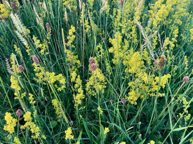
The hill behind it that we climbed was rich with wild flowers and variety of grasses, never having been disturbed by ploughing or reseeding because of the amount of rugged limestone protruding from the ground. Lady’s Bedstraw was glowing in the golden light as we reached the hilltop to gaze over the lake beyond.

As the short night descended we returned to the campers and a fire for awhile before getting a few hours sleep as some of the celebrants placed nightlights on the stones and made music and song.

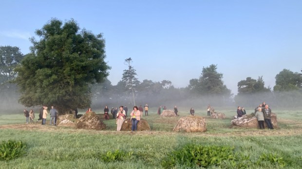
Up at 4 am it was too dark for my phone camera to record the faithful circling the grassy inner space in hooded cloaks and bare feet. The vibe was a mix of mysterious cultish ritual anticipation and warm up for a midsummer song and dance. Observers sat and stood atop the earthen bank whilst others started to gather in the inner circle.

An elder, a master of ceremonies, informed the crowd of historical and geographical facts relating to the circle as well as associated myths and legends before leading the song and dances. Other more ethereal voices took their turn and a circle of hand holding drew the energy up through the participants.

Tiring of the more rowdy celebrations we took refuge in the hushed reverence of the nearby smaller circle, where the open prospect allowed for a view of the rising sun.

A beautiful clear sky, a hazy mist drifting from the dew bespangled grasses towards the glowing ball of the rising sun, the birdsong mixed with quiet voices of expressed awe all made for a surprisingly emotional experience. I don’t think I’ll experience a midsummer like it again.

The sun had reached the giant Grange circle when we returned to the campers and the celebrations continued. We breakfasted and listened to a friends live ambient music show broadcast live from the Lough Gur Heritage Park on the far side of the lake, our next stop.

The Lough Gur area is unique in Ireland for the range and density of field monuments and we drove past a good few ( wedge tomb, ring forts, early church, castles, standing stone etc) on the way to the visitor centre where a walking trail lead us past more remnants of 8000 years of human settlement.

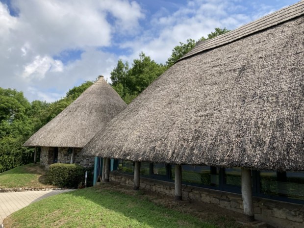
Wandering backwards and forwards in time we started at the recreated Neolithic buildings housing the visitor centre and climbed up past The Spectacles, a collection of hut foundations and small field walls in the shape of a pair of glasses.

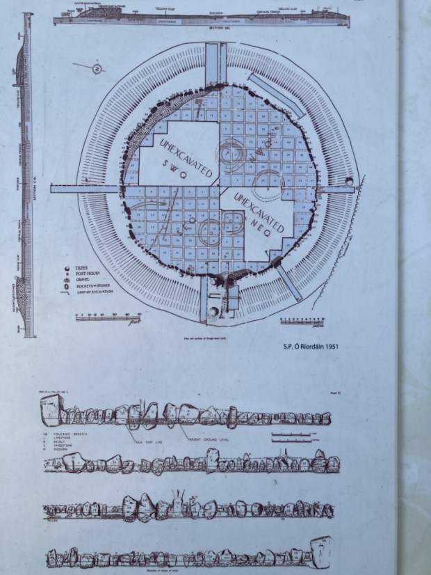
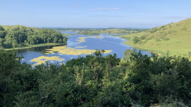
A stiff climb up stone steps had me panting at the viewpoint overlooking a landscape inhabited by countless generations of ancestors living lives unimaginable to us now. Excavations carried out over 20 years from the mid 1930’s by Prof O’ Riordain in the Grange circle had uncovered over 400 flint blades, scrapers and arrowheads and 1000’s of sherds of pottery and the bones of many wild and domesticated animals. Earlier, in 1847, when the lake level was lowered and drained for some reason a massive amount of ancient objects were discovered. Our overall knowledge of Neolithic life in Ireland has been hugely informed by the Lough Gur finds.

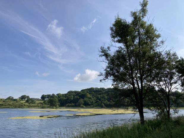
Stone age, Bronze Age, Iron Age, all the way through to the Middle Ages and beyond, relics are represented here. We gazed out at Bourchiers Castle, nestled in the thick woodlands granted to the Earl of Bath with 1000 acres 20 cabins and a load of cattle after being confiscated from the Desmond’s in 1580 after a failed rebellion, before returning to the lakeshore on a narrow path through the trees.

A Wishing Seat, where lovers who sit together will never be parted, was decorated with various offerings – a mythical antiquity very different to the functionality of the lime kiln next to it.

The remaining leg of the sunlit path took us past the remains of a 1680 pigeon or dove house, an important source of meat, eggs and fertiliser and the site of a crannog from perhaps 1500 years ago, once a man made island but now connected by marshy land.

We finally returned to the visitor centre to gaze at excavated finds in showcases, watch animated audio visual displays and dress up.

A costume fluid mashup perhaps but like the copies here of the real artefacts that were taken away to Dublin, it was only a recreation- the reality is lost in the mists of Lough Gur.

Mt CONGREVE and SLIEVENAMON

In a few days we are off to Portugal to attempt to complete the Fisherman’s Trail, the top half of which we enjoyed nearly 4 years ago but before I write about that I thought I’d just throw in a quick missive on our last outing.

We’ve explored the 70 acre Mount Congreve estate near Waterford a couple of times over the years, (the last time during its extensive 1 1/2 year closure for renovation when we couldn’t resist sneaking in through an open fence) and hearing it had reopened this spring we headed off to feast our eyes on the floral splendours.

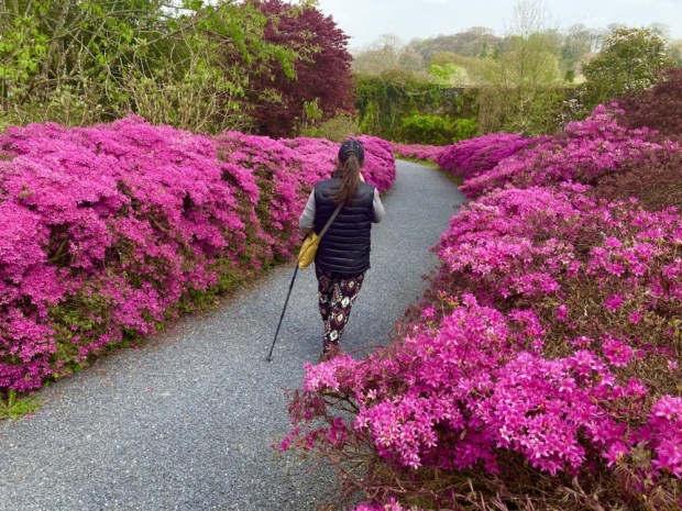
Recognised as “One of the Great Gardens of the World” it’s magnificent collection of Azaleas, Camellias, Magnolias, Pieris and Rhododendrons make it a particular joy at this time of year but the walled garden, avenues and lawns contain mass plantings of interest throughout the seasons.

Left to the State by Ambrose Congreve when he died in London on his way to the 2011 Chelsea Flower Show at 104 years old, the family motto ” He does not die whose good name lives on” seems very appropriate as does the place of his death, although it’s a pity he didn’t make it to the show first.

Ambrose was the last of 6 generations of Congreve to live on the estate since the house was built in 1760.

In the 60’s when Ambrose moved in he employed Dutch horticulturist Herman Dool who transformed the woodland gardens and set about creating the gardens as they are today including raising hundreds of Magnolias from seed collected in the Himalayas.

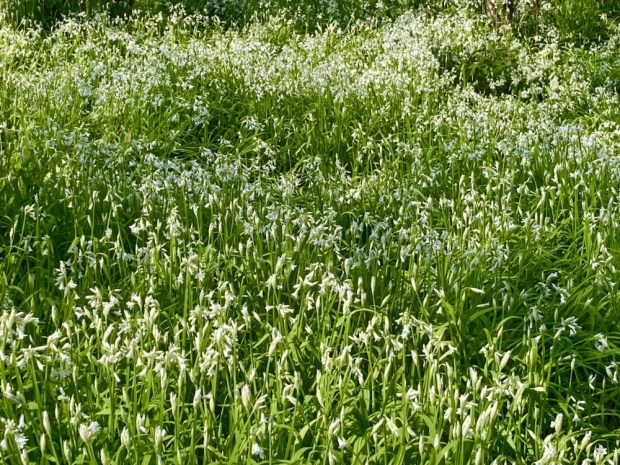
We followed the 16 km of trails laid out through the over 3000 species of trees and scrubs, meandering off on little side tracks leading hither and thither. Sweeps of bluebells and white three cornered leek filled the spaces between fine mature trees from the original planting and a carpet of frittilaria lay beneath an avenue of magnolia.

Ambrose and his wife were lucky enough to both be buried in their beloved garden, something that Galway Council have forbidden me, and their final resting place beneath a classical temple has a fine view down to the sweep of the River Suir.

The Georgian glasshouse is in a bit of a sorry state but plans are to restore it next year as well as get a Masters QQI level 5 gardening course up and running in the west wing of the house. It seems that nearly all of the €7 million spent on the estate went into the House, Gift Shop, Visitor Centre and Restaurant with precious little for the gardens or gardeners. Many of the loyal and long term gardening team are about to retire and fear for the future if the plants are left in the care of students and volunteers.

But such is the scale and grandeur of the gardens that although I can imagine some wilding going on I think that Ambrose’s creation will endure for future generations- climate permitting.

We headed off to spend the night in another grand house, Faithlegg, on the other side of Waterford city above the meeting of the Three Sisters, the Nore the Suir and the Barrow.

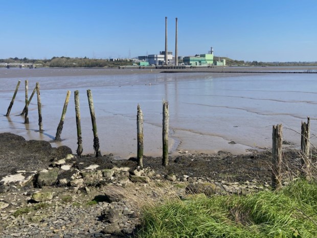
As is unfortunately often the case the houses parklands had been given over to a golf course but I was able to get down to the tidal river lands in the early morning to explore before we headed off to the Mountain of the Women.

The 720m Slievenamon summit rises isolated from the flat river plain of Tipperary between Carrick on Suir and Clonmel. I had my eye on it while hiking down the Suir a few years ago and have always noticed it’s imposing bulk while driving past on the way to Rosslare ferrys.

So with a fine sunny day forecast and returning home past it- no better time. Except of course my health and fitness are not what they were and all recent hikes have been pretty flattish so with 475m elevation gain it was going to be a challenge. Listed as “Hard” on AllTrails even though our planned route was only 6 km it was a pretty relentless uphill slog.

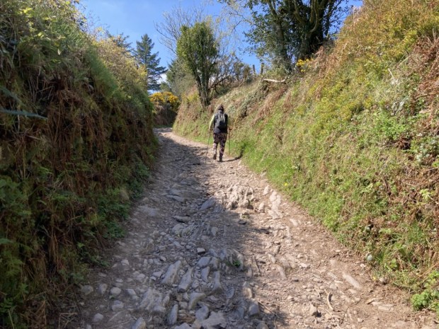
After a quick sandwich we started up the stony boreen to be greeted higher up by a lovingly created mini garden for insects, flowers and fairies. Maybe because the mountain has been associated with witches, fairies and mythical women or maybe just a farmers child creative display.

Soon after a gate allowed us access to the 5000 acres of open mountain comonage and a chance for a rest on the ” memory seat” before starting the long slog up beside a well worn track eroded into the shaley ground.

It’s a popular route and the good weather had drawn out groups and solitary walkers and more serious fell runners. It seems to be a popular training ground and one diminutive fellow who offered encouragement as he overtook us on his way up was coming up again as we went down. Could have been at it all day.

There was a race in folklore when the fastest woman up won the hand of Fionn MacCumhaill who cheated by helping his favourite, Grainne to the summit. It didn’t do him much good in the end though as she eloped with Diarmuid and the pair of them went on to have rocky “beds” on many an Irish mountain.

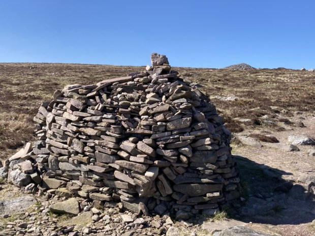
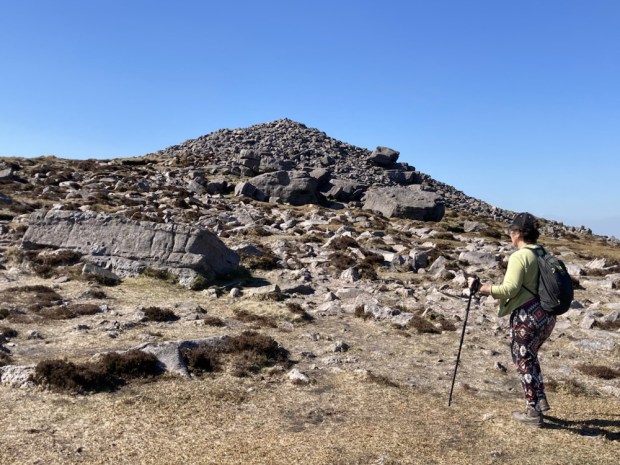
After multiple stops to catch my laboured breath we approached the large summit cairn or passage tomb reputed to be an entrance to the Celtic underworld. It’s also where the diminutive and magical race the Tuatha De Danann retreated underground when overcome by the physically superior Milesians.

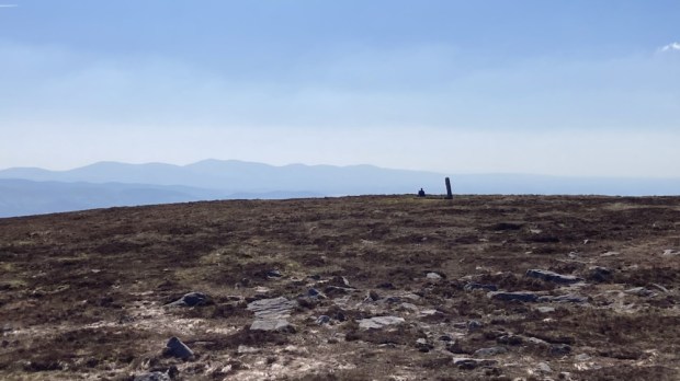
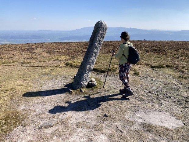
From the top of the cairn the trig pillar and a standing stone were visible across the rounded mound of the summit. The leaning stone thought to be from monastic period was carved with the date 1848 in commemoration of Thomas Francis Meagher’s rebel rousing speech to 50,000 people on the mountain in support of his Irish Confederation. Following the failure of the Young Irelander Rebellion he was sentenced to be ” hanged, drawn and quartered” but this was commuted to Penal exile to Tasmania.

Time for the descent. The easy bit for me the tough bit for Sallys knees. The views all around were worth the effort of achieving them. The Comeraghs, Knockmealdowns and Galtees ranged away to the south and west whilst the rich farmlands of Kilkenny spread like a blanket to the north.

The day was still cloudless and with a fair few hours of daylight left there were people on the way up as we retraced our steps back to the Memory Seat and the stony boreen to the car. I was pleased to have made it up there. Life in the old dog yet.

DONEGAL: Rambling in the Gardens of Gentry

A long awaited return to the Republic’s most northerly county luckily coincided with days of late summer sunshine- perfect for strolling the manicured lawns and walled gardens of some of Donegals fine collection of surviving Big Houses.

We started by exploring Oakfield Demesne, originally built in 1739 for the Dene of nearby Raphoe the house was extensively renovated and restored by Sir Gerry and Lady Robinson when they acquired it in 1996 and set about creating a glorious park and gardens over the 100 acre estate.

Sir Gerry who died last year put life and soul into creating a varied parkland in the lower half of the land, digging a 40ft deep lake, planting 40,000 native trees, building follies and a maze and laying 4.5 km of miniature railway track with trains and wagons – all from marshy farmland.

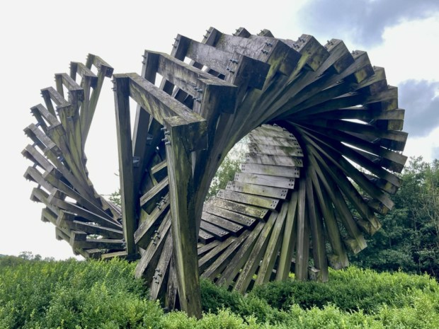
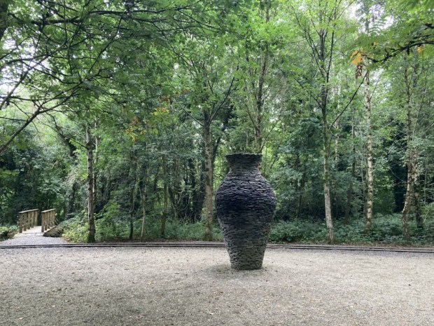
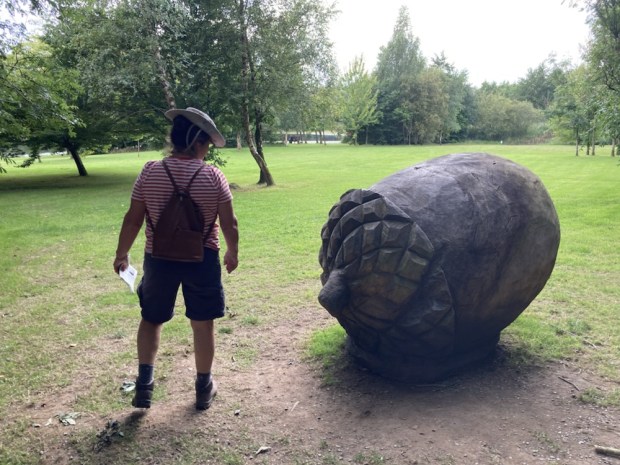
The Robinsons commissioned a lot of monumental sculpture which is placed around the kms of garden trails.

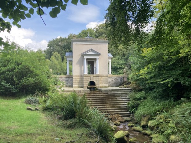
We took an informative tour of the normally private upper gardens- 50 acres of mature trees set in chequerboard lawns, sweeping wildflower meadows, another man made lake with accompanying Nymphaeum fed by the original Victorian ram pump, ancient woodland and award winning restored walled gardens with topiary and paved formality as well as wild and exuberant planting of exotic flowers and scrubs. I was too immersed in the plant spotting to take pictures.

After the cosseting of the comfort of controlled nature we sort out the wild and untamed and headed for the towering sea cliffs of Horn Head on the north coast.

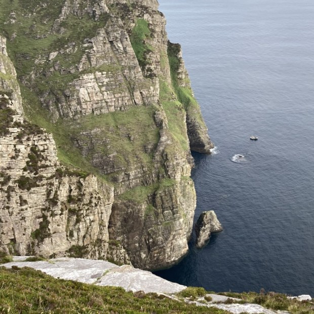
The 360 degree views from what the famous naturalist Robert Praeger called the “finest headland on the Irish coast” were spectacular and covered Inishowen and Malin Head to the East and Tory Island and iconic Errigal and Muckish mountains. Even here all was calm, the normally crashing waves gently resting at the base of the 200m cliffs, the flat waters making an easy job for the boats hauling lobster pots in the morning when we set off from the camper on a 12km hike around the coast.

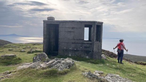
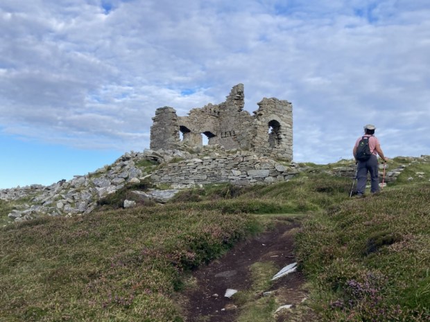
From the WW2 look out post we headed towards the Napoleonic signal tower never used to warn of a French invasion, and followed the dramatic geology westwards across the heather. The ending of headage payments on sheep and the resulting overstocking and overgrazing had enabled the once sheepwrecked and eroded landscaped to recover into a thick and healthy sward.

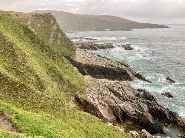
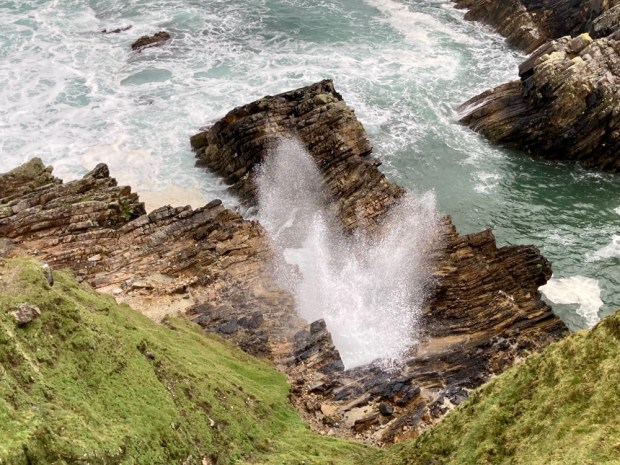
The head is rich in natural and man made features- Neolithic tombs and stone circles as well as phenomena like McSwines Gun, a blow hole that used to send a geyser 100 m up into the air with a retort head up to 10 miles away, and the sea carved Marble Arch. From there we watched some of the internationally renown colony of sea birds wheeling in the void. Shags, puffins, razorbills, gannets and many others call this place home returning to nest year after year.

We turned our back to the sea at an impressive stone wall and struck out into the interior on a direct line towards a very distant camper passing a remote farmstead whose horse and donkey were surprised by the unusual visitation. It must be a tough spot to try and wrest a living and we passed a scattering of sad and ruined cottages as we struggled through the heather to the comfort of a tarmac car park.

We drove south to the Muckish Gap on route for the Derryveagh Mountains. A spectacular road led us through the valley to the Bridge of Tears where, in the famine and poverty stricken days of the 18th and 19th century, family’s would accompany those heading for the emigrant ships of Derry port. Sad farewells and painful final partings took place here for a multitude over the decades as the departing crossed the bridge with the expectation they would never be seen again.

From a poignant symbol of the poverty of the peasant class to the ostentatious display of wealth and power of the ruling classes at the scene of “one of the worst excesses of Irish landlordism”.

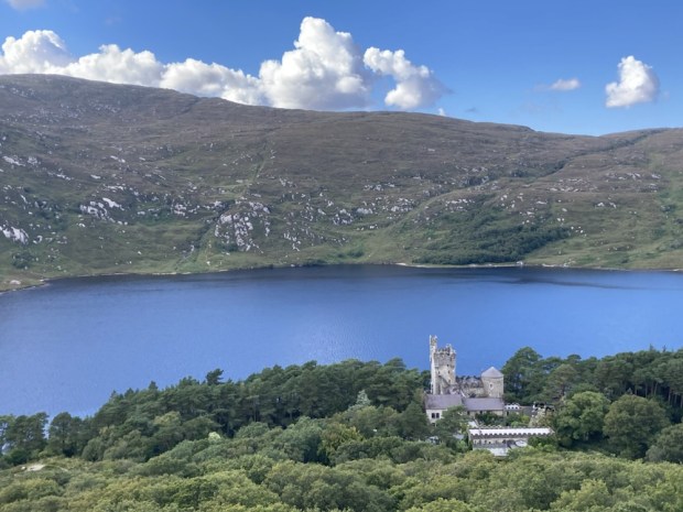
In April 1861 John George Adair or “Black Jack”,who had used money from his slave owning families’s sugar plantations to buy up 16,000 hectares of mountain, bog, lake and woods to create the Glenveagh estate achieved international notoriety by forcibly evicting 244 tenants and destroying their homes. He had a vision for a grand hunting, shooting and fishing fiefdom and having swapped his Gaelic “eyesores” for imported Scottish sheep he had the castle built in 1870 for his new American wife who, unlike her hated husband (dead by 1885), is remembered as a kind and generous person who survived him by another 35 years. The estate lands were bought by the state in 1975 and the castle and gardens were bequeathed to the nation in 1981, becoming Ireland’s third national park in 84.

The gardens around the castle, originally laid out 140 years ago, were divided into a variety of planting schemes, connected by a network of pathways. A walled garden in Jardin Potager style rises up behind the castle where the stone for its construction was quarried and after exploring these we took the high looping View Point Walk to the hillside above.

The gardens are part of a National Phenology Network that records the timing of natural events such as budburst, flowering, leaf fall and migratory bird comings and goings to add helpful data to climate change research and agriculture, tourism and gardening bodies.

Next stop Gartan Lough on the southern side of the estate where we spent the night after a refreshingly cool swim.

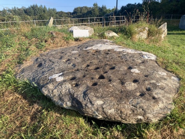
Setting off early to walk the Lough Inshagh Trail back over the estate moorland towards the castle we called in to the birthplace of St Colmcille, the 6th century prince turned monk who went on to found the monastery on Iona. The tranquil spot is marked by a large Celtic cross and a large flagstone decorated with Neolithic cup markings. The ” Stone of Sorrows” was thought to hold a cure for homesickness and loneliness and many emigrants are said to have spent the night on it before leaving Ireland.

The old estate road that once took the gentry to the Protestant services at Church Hill must have taken much labour in constructing its 7km across the bog and moor, as did the 45km of fence that encloses the herd of red deer.

The track was lined with prickly heath or Perettya/ Gaultheria Mucronata an invasive escapee from the castle gardens and clumps of rhododendron amongst the heather did not bode well but on Garton mountain, passed the lake, there were sheltered pockets of old oak and holly woodland. We stopped to soak in the view before returning to the camper and our next treat.

Next to where we had spent the night was a gem of a place unknown to us. Glebe House and it’s large courtyard gallery and glorious lakeside gardens is operated by the OPW after being gifted to the state in 1981 by its owner, the English painter Derek Hill. The Regency style house was built as a rectory in 1828 but became a hotel by 1898, welcoming guests for over 50 years apart from a period of occupation by both the IRA and RIC during the war of independence.

Derek Hill was a very well connected artist who also welcomed guests to St Columbs, as it was known, from the worlds of Arts to Royalty. A keen collector he stuffed his house with all manner of art and craft from around the world and over 300 paintings by leading artists of the 20th century, often bartered or swapped for his own work. He bought light and water to the house and decorated it with original William Morris wallpaper and textiles. We had a fascinating tour of the house before exploring the beautiful grounds while ethereal music mixed by sound artist Sven Anderson from Dereks collection of 1500 operatic and classical records floated from exterior speakers.

Derek Hill gave his house, garden and priceless collection to the nation 20 years before his death, living in a nearby cottage all that time and frequently joining the tours to see what people thought of it. A real treasure, well loved and maintained with new exhibitions frequently put on in the courtyard gallery, it deserves more recognition.

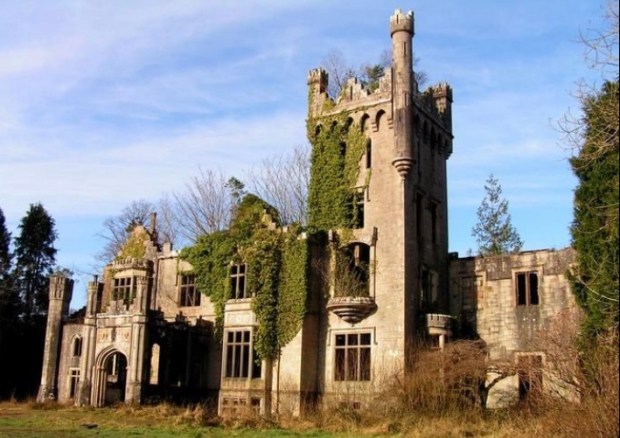
Our last stop before the long drive south was a place we first explored 20 years ago. On the shores of Lough Eske near Donegal town we discovered a ruined castle amid a coillte forest. With trees growing up through the roofless interior and an ivy clad tower the grounds were covered in massive rhododendron from which I took a lot of cuttings. None of them went on to grow into new lives but the castle did. Bought in 2006 by developer Pat Doherty millions were invested in a 2 year restoration of the building built by Thomas Brooke in 1861. The giant rhododendrons are gone but now an extensive 5 star hotel has risen, phoenix like, from the ruins.

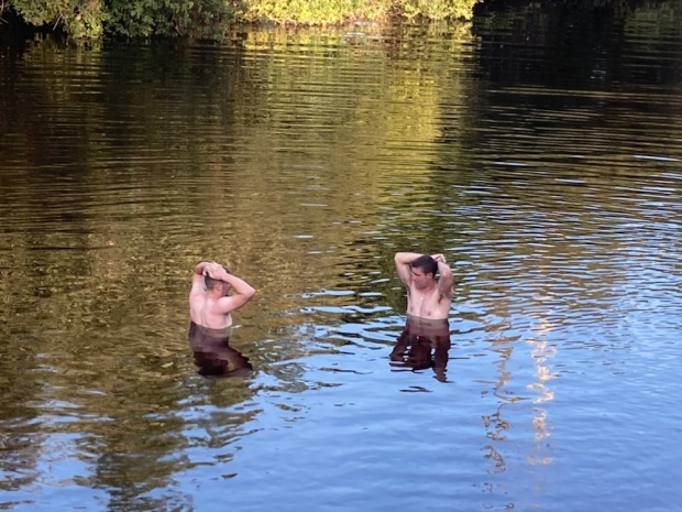
The Bluestack Mountains formed a dramatic background to Lough Eske estate when we went for a cycle and skinny dip before leaving. Once compelled to hiking up them now content to stroll the gardens wrestled from the wilderness by an Ascendancy long gone.

RIVERWALK: Nore Valley Way

A heatwave upon us we decided on a watery walk shaded by mature hardwoods growing from the fertile soils of the south east. Having boated and hiked both the Barrow and the Suir it was to the last of the three sisters we headed – the Nore.

Following the meandering river south from Borris in Ossory after its journey from the Devils Bit mountain, we drove through Durrow and Ballyragget to The Weir swimming pool on the northern edge of Kilkenny city. Arriving at dusk it was too late to swim (not for others) and the morning was too chilly (not for others again)so we set off to our trailhead in the Castle Park as more swimmers arrived.

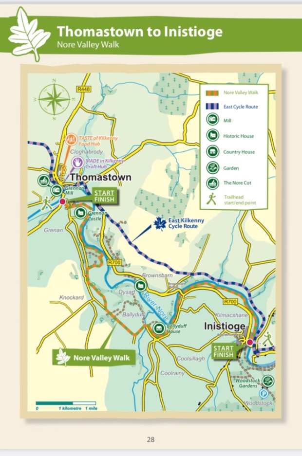
The Nore Valley Way is a three stage, 34km, walk and the middle section is still, after many years, not completed. Kilkenny to Bennetsbridge is 12 km, the gap from there to Thomastown is 11km and Thomastown to Inistioge is another 12km. But still, there are bus and train links to and fro between the stages so it’s possible to break it up or complete both stages in a day.

We started on the tree lined avenues of the Canal Walk in Kilkenny Castle grounds and after a couple of km crossed the river to the east bank on the Ossory bridge.

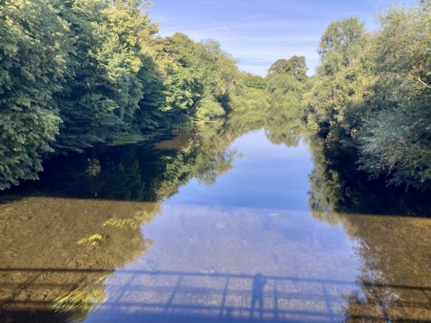
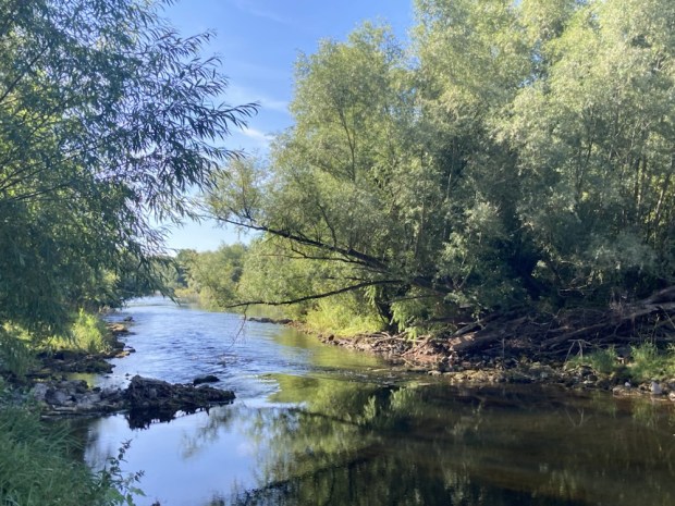
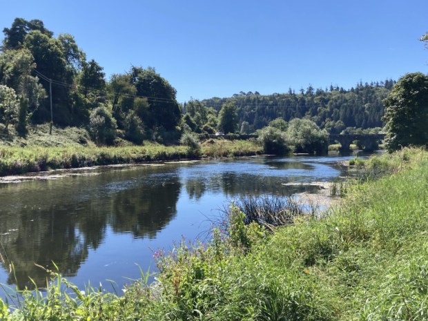
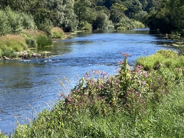
The river was wide, shallow and clear. The long spell without rain had lowered the level considerably and Irish waterways had asked the public to report any signs of overheated and distressed fish. We were kept cool on the shaded path through the trees, refreshed by the gurgling and twinkling of water over shallows.

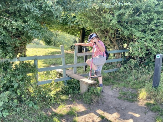
An access issue forced us up onto a road for a little while before crossing a stile into riverside fields again. This walk was characterised by the wide variety of stiles employed- seemingly every type going. We passed Inch sawmills with huge stacks of planked hardwoods, sawn by the power of the water for generations. This river, for hundreds of years has provided the power for woollen, paper, grain and sawmills as well as the water for breweries and irrigation of the fertile land. We passed many, both ruins and fine homes, with a network of mill races and ponds slowly returning to a pre industrial landscape.

There were areas of quarried stone where the famous Black Marble was worked but now all was quiet and the cobbled track was used solely for recreation. Walkers, fisherfolk and in this weather, wild swimmers. We passed an extravagant and forlorn designer extension in the woods before coming to a swimming spot near the motorway bridge.
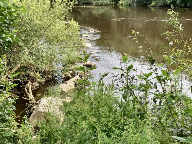
Soon after our cooling swim we came upon a remote horse box coffee shop, unfortunately closed, and then were approaching Bennetsbridge and the old mill complex now housing the Nicolas Mosse pottery totally powered by the water turbine that also feeds into the national Grid.

From another mill building and grain silos we caught the bus back to the castle where we explored more of the park and toured some of the arts week exhibitions.

Originally a wooden structure built by Strongbow to control the fording place, in 1195 the stone towers were built, three of which still survive. Home to the Butler family for 600 years, the Marquess of Ormond gave it to the nation in 1976 and it continues to be a very popular place for local and tourists to visit.

Leaving our overnight camper spot in the riverside park the next morning we drove to Thomastown swimming spot where the glorious sunshine, a gouty toe, a charming village packed with over 30 art exhibitions and a reservation for the night at the nearby Mount Juliet estate were enough to persuade us to leave the next stage walk for a day and kick back a little.

A swim, sunbathe, tour of Creative Arts Festival shows and more repurposed mill buildings and it was time to see how the other half lived up at the Big House that is Mount Juliet.

The 500 acres of rolling parkland that the house overlooks from its high ridge include a golf course (of course) , formal gardens, mature oak woodland, man made lakes, the Nore valley and acres of fenced horse paddocks. Riding, fly fishing, archery, falconry – and golf- all go on in this pocket of privilege. We wondered if the delay in completing the Way was due to obstruction by the estate.

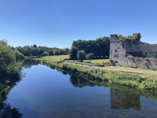
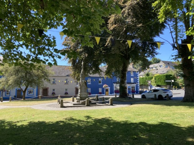
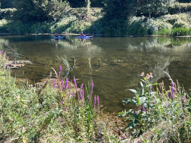
Taking the bus from Thomastown in the morning we set off on the final 11km walking upstream from the pretty village green at Inistioge. Picnickers, canoeists and fishermen were soon left behind and we saw no one else the entire walk.

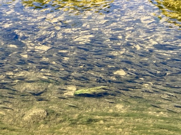
The abundance of fish in the clear waters ensured a lot of herons on watch and I was thrilled to see a florescent kingfisher darting along the bank. Swifts and ducks were plentiful but we didn’t spot an otter unfortunately. Climbing up through the woods around Ballyduff House we had a couple of Kms of backroad walking before we were led down through dappled old coppice to the river again.

With the temperature reaching record heights we searched unsuccessfully for a good swimming spot as we drove sheep from the shade on the final stretch past a Strongbow tower to finish at the GAA pitch.

Back to the swimming place to cool off before the drive home happy to have completed the trio of the Sisters river walks.

Another recent waterside walk was back in the Hidden Heartlands, on the banks of the Shannon.

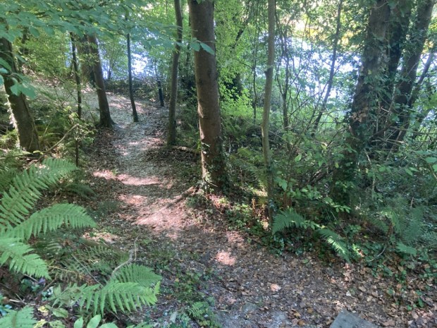
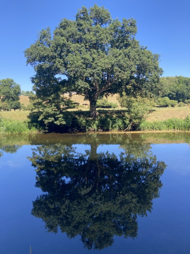
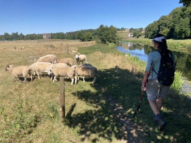
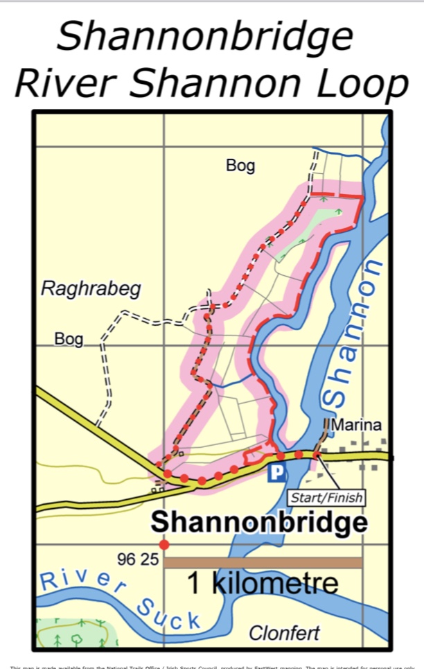
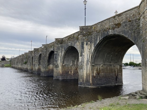
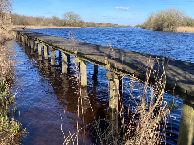
Starting at the River Cafe housed in the early 19th century Napoleonic tower, part of a series of defences against a French invasion that never happened, the 5km loop led us from the 1757 bridge, along the riverbank and back on an old bog road.

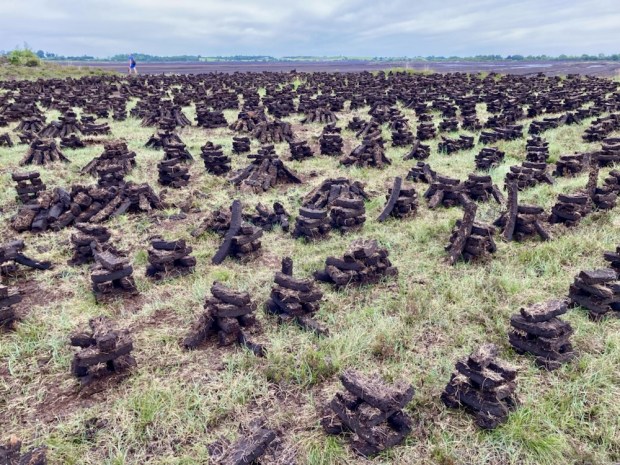
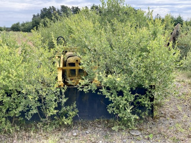
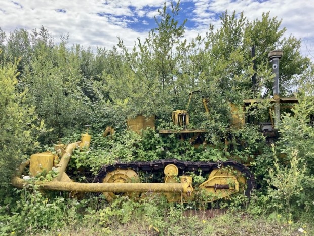
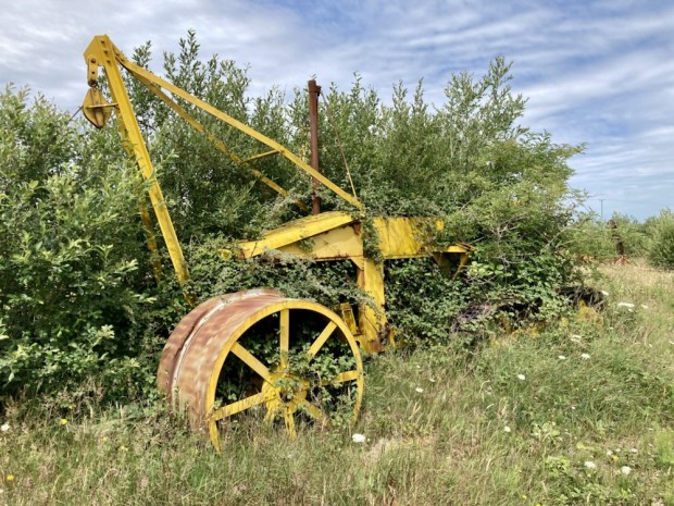
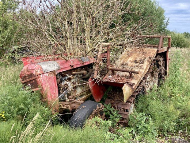
The bog lands of central Ireland are going through a huge change, from Brown to Green as the marketing lingo has branded it. Bord na Mona, in its seismic shift from carbon source to carbon sink, is embarking on a “Just Transition” to renewable energy producer, recycling operator and bog restoration through rewetting. The vast area of Blackwater Bog, down the road from the decommissioned peat power station at Shannonbridge is silent. The once familiar yellow machinery for the vast milling, harrowing, ridging, harvesting and transporting operations are rusting slowly as they become consumed by the Greening.

The Irish waterways are a beautiful natural resource, no more than its mountains and coast, and vastly under appreciated. Here’s hoping that in the attempts towards a more sustainable future they are nurtured, promoted and protected.

COMERAGH MOUNTAINS: The Nire Valley Coums

Just south of Clonmel you leave Tipperary and enter Waterford and the ground before you rises up into one of the most beguiling mountain ranges in Ireland, the Comeraghs ( from Cumarach- full of hollows). Named after the glacial coums or corries nestled into the sheltering arcs of towering cliffs of old red sandstone, their drama has drawn walkers for a long time and I’d been trying to get into them for years. With the dry and sunny weather due to end soon I took off for a couple of days exploration.

Arriving after dark in the Nire Valley car park it wasn’t till the morning that I could appreciate my surroundings, at the head of a peaceful and deeply rural wooded river valley with the massed bulk of the central plateau before me to the south.

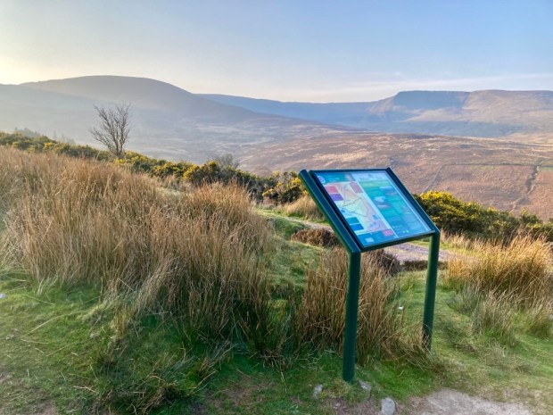
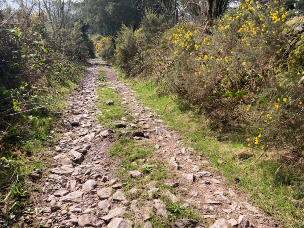
The map board indicated a number of colour coded loops which I would incorporate into longer more demanding hikes. First up I followed the white marker posts through the heather on the trail to The Gap, spooking grazing sheep as I went.

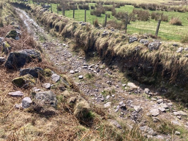
This has been a route over the mountains for centuries and was known as Boithrin na Sochraide, the Funeral Road, and was used up till 1926 for transporting coffins 6 miles east to Rathgormack as the Nire valley had no graveyard. Some of the large boulders on the way were known as places to set the coffins down in order to rest. It had also been engineered into a famine relief road in the mid 18th century. This catastrophe, caused by extremely cold and dry weather, resulted in failure of grain and potatoes and a greater loss of life, proportionately, than the Great Famine a century later. 1741 was known as Bliain an Air, the Year of Slaughter.

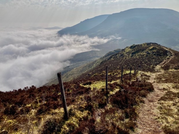
I past a lot of burnt ground, the setting of fires was a frequent and dangerous occurrence in the hills to increase grass cover, and the dry conditions rendered the boardwalks obsolete. As I approached the Gap I thought perhaps there was billowing smoke advancing but I discovered that it was the whispy edge of a thick blanket of cloud on the eastern side of the ridge.

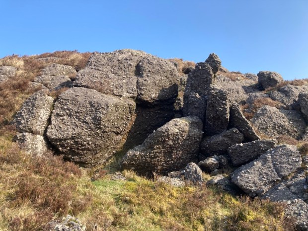
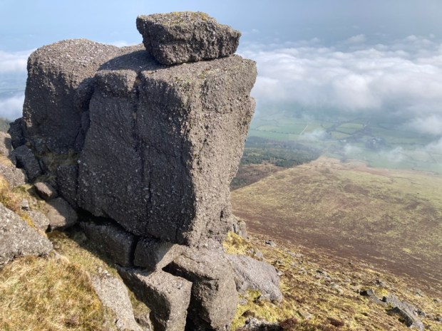
From the Gap I turned left to follow the Seven Sisters ridge to the summit of Knockanaffrin at 755m. The steep linear arête is a separate northern protrusion to rest of the range and the precipitous drop to the east would have given me views to the Blackstairs and Wicklow mountains were it not for the cloud and haze. Occasional lumps of quartzite sparkled in the sun but most of the lumpen rock sculptures teetering on the edge of the cliffs were a coarse conglomerate.

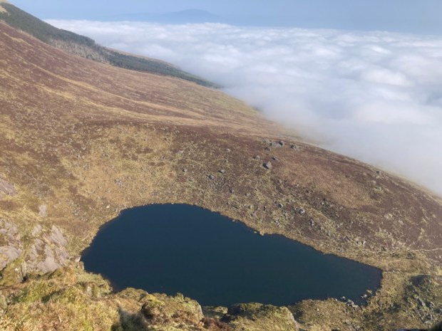
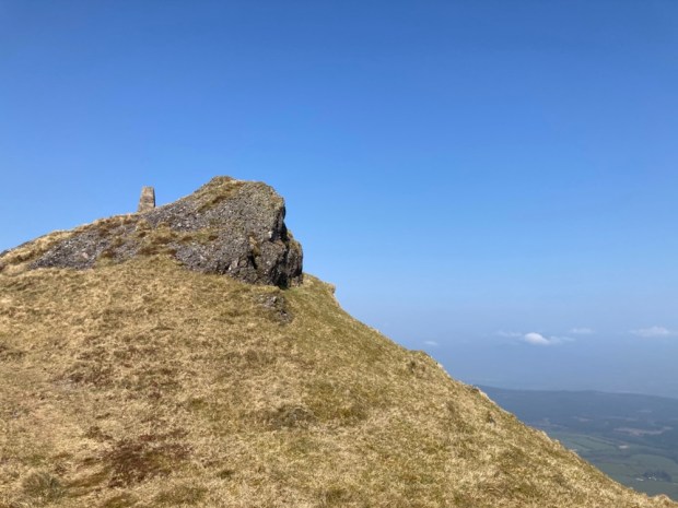
My first corrie, Coumduala, and its lough revealed itself hundreds of meters below as I moved up to reach the little cairn marking the summit of Knockanaffrin, the Hill of the Mass, although it’s an unlikely setting for Mass even in penal times.

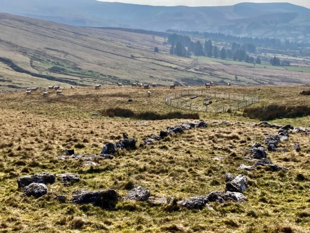
Onwards to the next peak, of Knocksheegowna, past Lough Mohra and the tiny figures walking towards it on loops from Glenpatrick forest. From the trig point I headed down south east across the broad expanse of mountain past a series of sheep pens to reach the stream and track that took me back past ancient homesteads to the road that led to the car park with the sun setting on the Nire Valley.

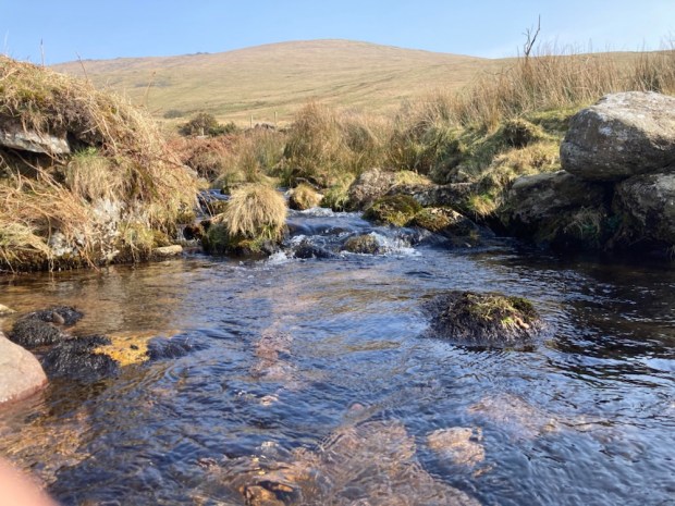
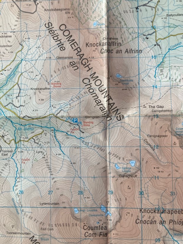
Next morning I was off early to undertake one of the classic walks of this region- the circuit of the Nire/Nier Valley Coums. The river, which seemed to be spelt both ways, gathers together from tributaries emerging out of half a dozen corrie lakes and this route would take me on a sweeping arc around the plateau high above them.

( Apologies to OSI for flagrant breach of copy-write)

Setting off down the farm track from the parkup I went to admire a tall standing stone before continuing down to ford the river and begin the climb through boggy and tussocky ground to gain the broad western shoulder of Coumfea.

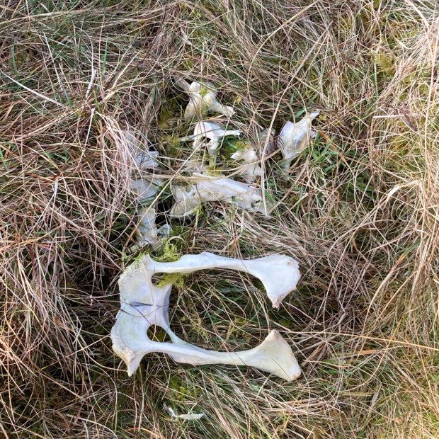
There were many streams to cross and many remnants of sheep that died of unknown causes, another reminder in the pleasant sunshine of how tough things here can be. As I gained altitude Lough Coumlea came into view enclosed by the tiered cliffs.

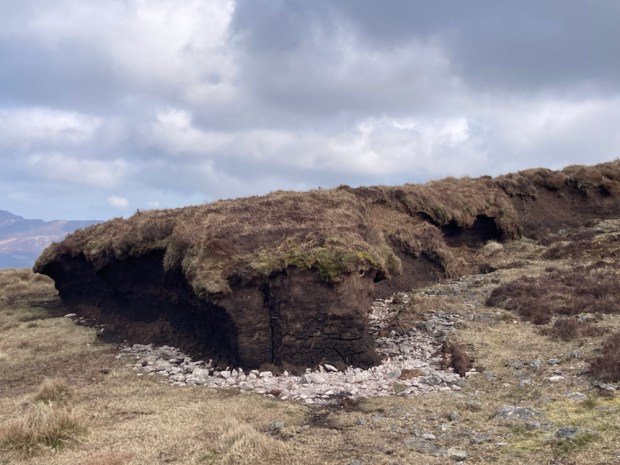
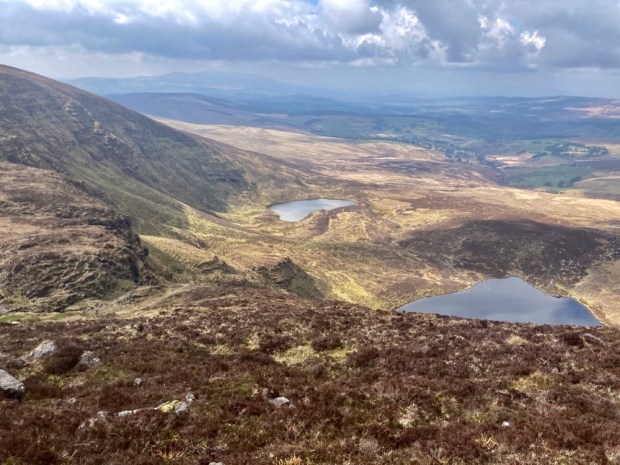
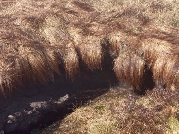
At last on the easy bit, I had only to follow the tracks of quad and sheep around the corrie rim, atop the precipitous cliffs and through eroded turf hags admiring the necklace of dark Coum pools far beneath.

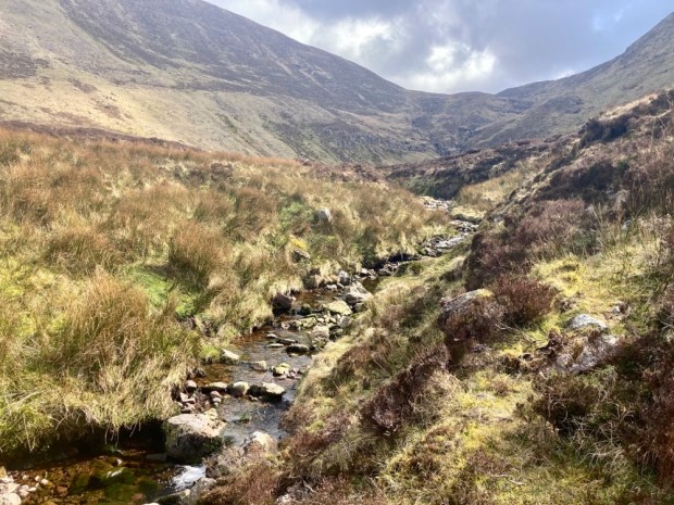
Passing Coumalocha I continued north around the rim over Curraghduff above the Spilloge Loughs where I had to cross the stream that tumbled over the cliff. In winter the winds are reputed to blow the water back up over the cliffs to freeze into bizarre formations on the rocks and vegetation. Contouring around the mountain I turned into the ” blind” coum of Coumlara, without a lake, and I clambered down to meet the stream that becomes the Nire.

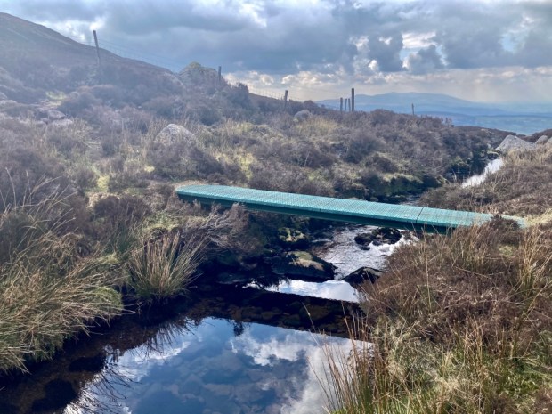
Now down onto one of the waymarked loops I had only to follow it back through the heather, on boardwalks through boggy ground and over a wooden bridge above the nascent Nire to return to the camper.

The final leg was shared with another couple and we talked of the great plumes of wildfire smoke we had seen to the north and watched as a helicopter beat back and forth across the mountains. On my drive out of the beautiful valley I met a flashing fire engine urgently rushing into the hills. The radio news also featured stories of hill fires in Cork, Kilkenny and Wexford. It’s time to hope for rain.

HYMANY WAY: River and Bog in the Hidden Heartlands

A gloriously dry and sunny St Patricks Day holiday weekend gave us the opportunity for our first long walks since being back in Ireland. We decided to keep it local(ish) and headed back to an area we know and love, starting our micro adventure by the motor cruisers in Portumna harbour and starting off on the Hymany Way.

The first 17km are atop the embankment that run along the western side of the Shannon, built by the ESB as part of their 1920’s Ardnacrusha hydro power station mega project.

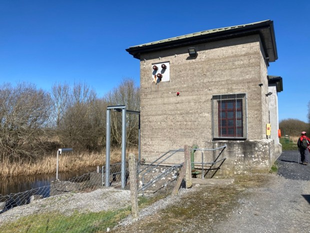
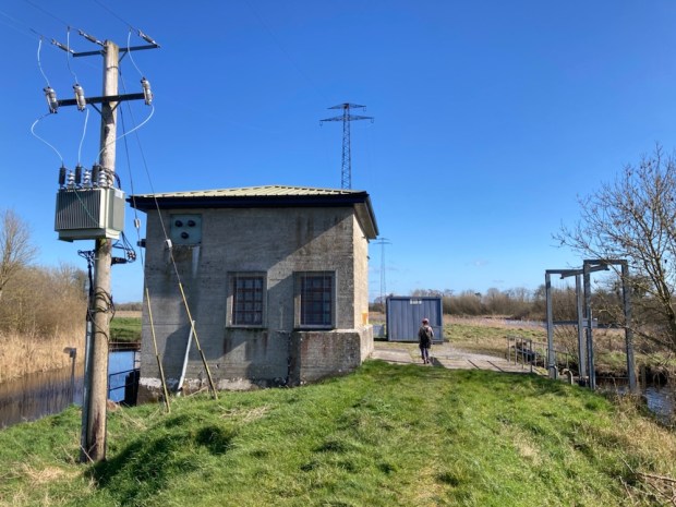
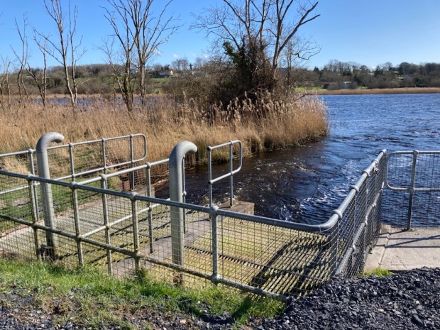
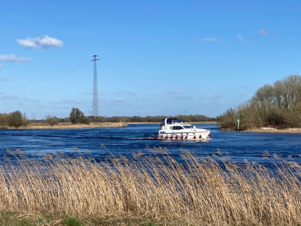
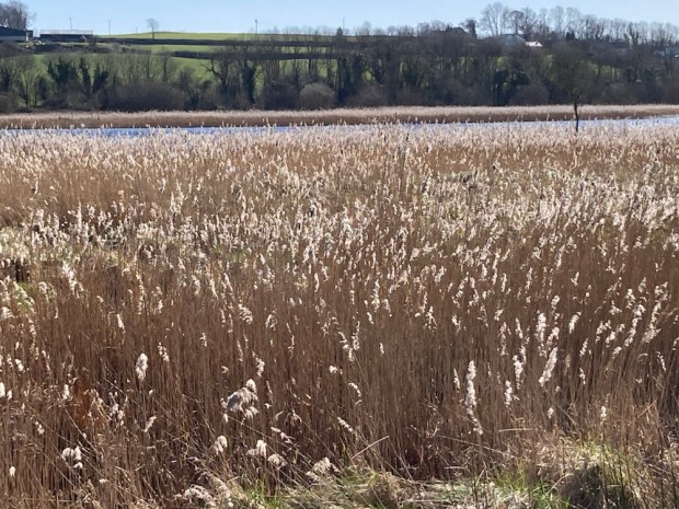
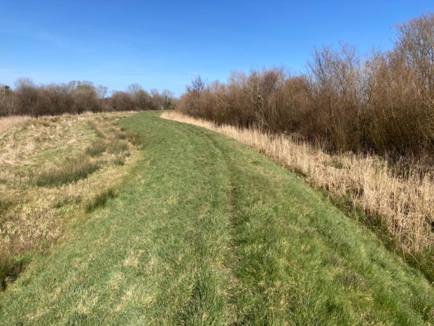
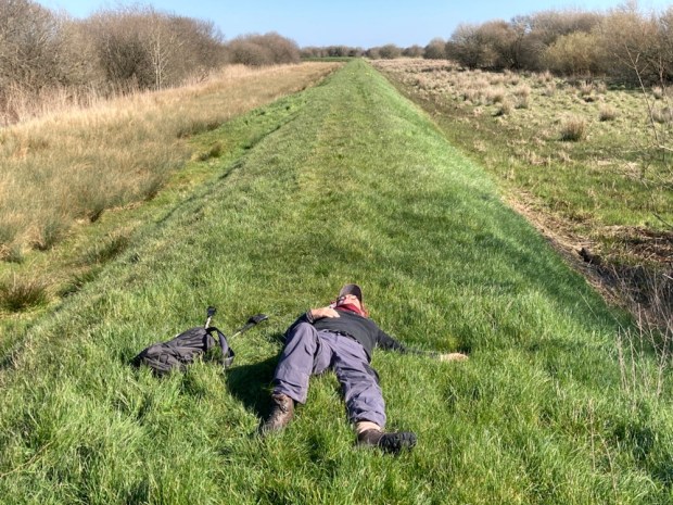
” One of the finest pieces of working industrial archaeology in the country” the raised earthen bank protected the low lying land from flooding and water levels in the river were controlled by a series of 3 pumping stations taking water from the inner man made water course when needed. It makes for fine walking with views of the river and callows on one side and deeply rural farmland on the other. With no roads nearby the peace and quiet is tangible with only the occasional cruiser interrupting the birdsong and wind rustled reeds.

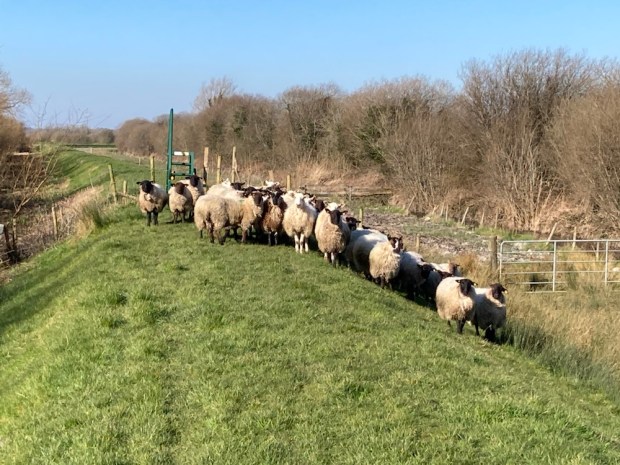
We stopped for lunch at a small copse of giant ash trees that were home to a large badger colony, some of whose tunnels disappeared into the bowels of the tree trunks.

The 90km Hymany Way from Portumna to Ballygar in East Galway is one of the 11 sections of the Beara- Breifne Way that runs 500km from West Cork to Leitrim roughly following the line of Donal Cam O’Sullivan Beare’s March in 1602. The two week retreat from hostile Anglo forces saw his party of 1000 soldier’s and camp followers reduced to just 35 by the time he got to his ally O’Rourkes castle in Leitrim.

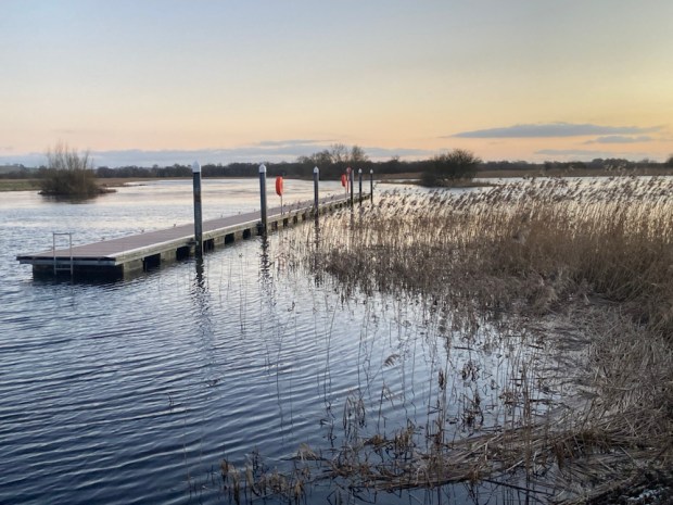
When we got halfway to Meelick we stopped again, opposite Ballymacegan island where an old pier and abandoned riverside restaurant project at Esker Riada reminded us of camping here 25 years ago on a boating holiday. From here we returned to the camper, drove to Meelick and explored the newly restored Weir walkway.

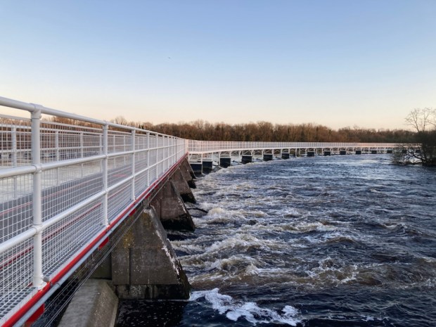
Built to control water levels in 1840 the 300 m weir walkway had been closed in 2016 after bad storm damage and restored over 3 years and €3 million. Crossing from West Bank to East you arrive on Incherky Island where the gravel walkway continues to Victoria lock where from the new oak lock gates on the western end you can look out at the point where the 3 counties of Galway, Offaly and Tipperary and the three provinces of Connaught, Leinster and Munster all meet.

Next morning we set off south down the embankment again on to the halfway turn back point. The wild and watery Shannonside was in contrast to the oldest church in continuous use, Meelick Abbey which appeared on our right. Founded for the Franciscan order in 1414 it was preparing for the Saturday evening mass when we went to explore the church and cloister.

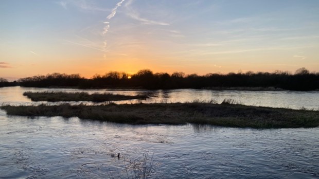
The Shannon Callows Special Protection Area stretches for approx 50 km from Athlone to Portumna and we were walking the finest of it. This vast area of seasonal flooding means unplowed or reseeded, enriched fields of mixed species of wildflowers and grasses, scrubby woodland of willow and alder which offer a wonderful habitat for insects, birds ( 66 calling birds identified) and wintering waterfowl along with mammals like otters and hares. Sheep graze the embankment keeping the grass nice and short for walking ( in places without grazing the Way can become almost unwalkable in summer).

We passed the area thought to be where O’Sullivan and his followers,( already depleted by a third), hoped to escape the hostility of the Munster chiefs by crossing the Shannon into Connaught. Losing 10 men in their first attempt in a small craft the desperate folk slaughtered and skinned 12 horses to cover an 8m boat and ferried across 30 at a time. Unfortunately for them the welcome was no better in the west as they struggled on northwards. Weary ourselves, we were able to relax in the sun.

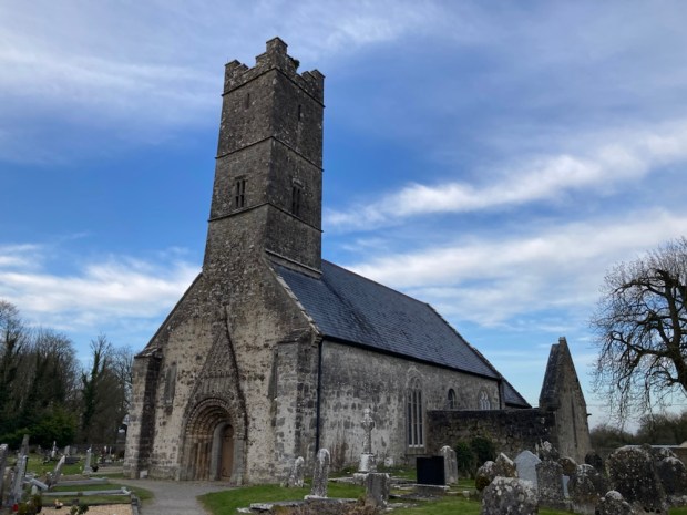
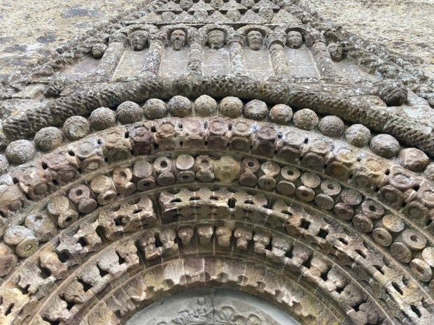
Having walked back to the camper at Meelick again we missed out a few km of toad walking and drove instead to Clonfert for our raised bog hike in the morning. Before finding our parkup for the night we explored St Brendans Cathedral- founded in 560AD by the man whose own home made animal skinned vessel had got him all the way from Kerry to what became known as America. He is buried in the ancient graveyard near the magnificent 12th c Romanesque doorway with its superb carved sandstone details.

We went to reacquaint ourselves with the votive tree and the 400 yr old yew walk to the ruin of the Bishops Palace. Supposedly an overgrown hedge it was originally part of an extensive pleasure garden now long rewilded.

The Palace, occupied since the 16th c , had fallen into disrepair by 1951 when it was bought by the infamous British Fascist Sir Oswald Mosley. As someone who had spoken out against the use of the Black and Tans in Ireland he was kinda welcome here and the money and time he and his wife put into the restoration and the employment of gardener, housekeeper, cook and chauffeur were also welcome. All the work putting in heating, lighting and water was for nothing however as the house burnt down 3 years later.

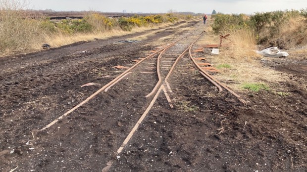
Just down the road is the Clonfert and Garryduff bog, for decades exploited for the fuel to run the Shannonbridge power station across the river, now still and silent as Bord na Mona cease all peat harvesting and the power station sits idle. We found a peaceful parkup and walked the old rail track for a look.

The final leg of our journey in the morning took us along a tiny back road by the callows past abandoned homesteads to the Grand Canal extension across the bog to Ballinasloe, filled in by Bord na Mona who lay a train track on top to funnel wagon loads of turf towards the hungry furnace of the power station.

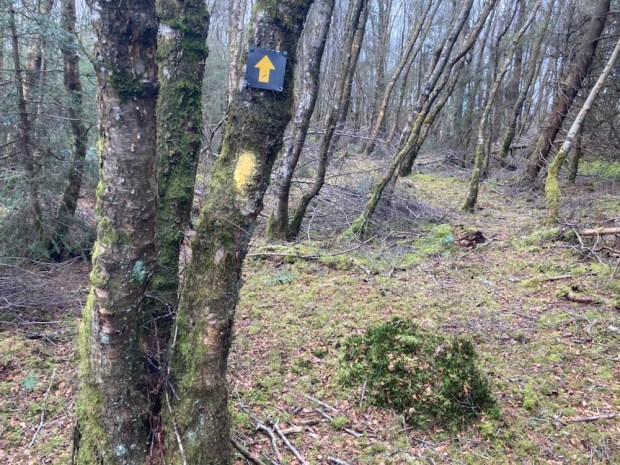
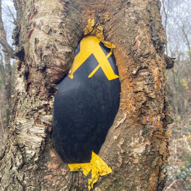
The Hymany Way took us off the track and up onto a gorse tunnel track on the bog edge and then into woodland where the waymarkers were being englobed by the swelling trunks.

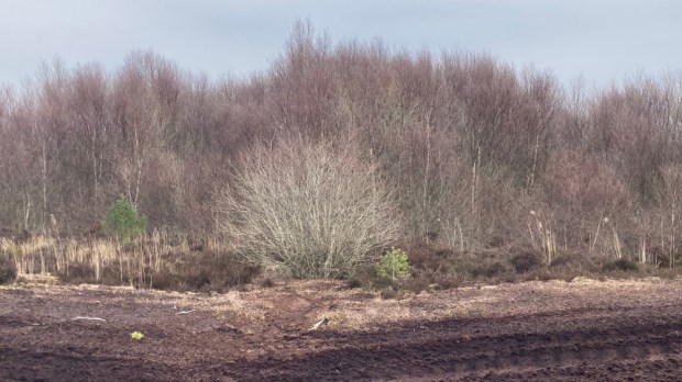
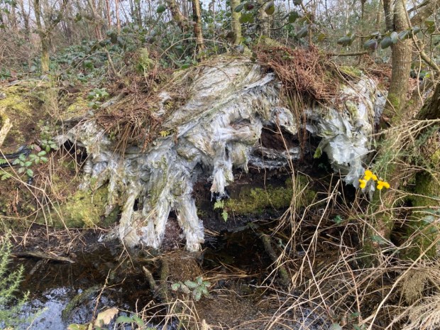
We were near to Decoy Woods were wildfowl were trapped for the Bishops table. Without the drainage pumping new ponds and lakes of swans and water birds were appearing and birch woodlands were springing up. The Transition from Brown to Green as Bord na Mona has branded its new Eco credentials has started and none to soon. It was shocking and startling to see the vast amounts of plastic used to cover the milled peat had been left in the environment.

An old bog track ( with more saddening sites of dumped rubbish) took us to a stretch of tarmac road. A quiet backwater, already semi deserted with empty houses, I wondered how the unemployment created by the closure of the bogs would affect the dwindling community. The road led us back to the vast expanse of worked bog at Kylemore lock on the Grand Canal extension.

The last picture is of the old lock keepers house and barracks. The boggy nature of the canal banks made for easy sabotage and 3 police barracks were built along the route to deter scheming locals hoping for some repair work. Bizarre to see an old turf locomotive on the track through the lock gates where once a 20 hr daily service ran from Ballinasloe to Dublin with first and second class passengers in seated cabins and restaurant cars with fine wines and spirits ( first class only!).

After lunch around the abandoned Bord na Mona stores and workshops we set off down the track for a long haul back to the camper on the filled in canal. It seemed almost criminal that an amazing engineering feat, employing over 1000 men in its 14 mile of construction in 1824, should have been so robbed of function.

Massive change has come again to the midlands boglands. The rehabilitation of the Brown to Green scheme is underway. The Just Transition fund is channeling millions of euro into projects for walking and cycling routes, climate action training, digital hubs, transport links, bio energy, wind and solar farms, medicinal herbs inc cannabis, and the restoration of bog to a living working carbon sink. The Bord na Mona plan for Garryduff is ” setting the site on a trajectory towards establishment of a mosaic of comparable habitats including wetlands, fen, Reed swamp, wet woodland, heath, scrub and birch wood.”

At a crossroads between turf and renewables, between Brown and Green, I’m glad the transition was started before the current war related fuel crises made cautious minds falter.

CONNEMARA WEST: Walking into Paradise

For Sam

A few days commitment free and an invitation from old friends to visit them on Omey Island was all the encouragement we needed to load up the camper and head into the west. The Wild West weather wise. Our friends place on the far western edge of an island off the far western edge of Ireland was no place for camping the day we set off so we decided to seek shelter and explore the Aughrus peninsular to the north till the weather improved.

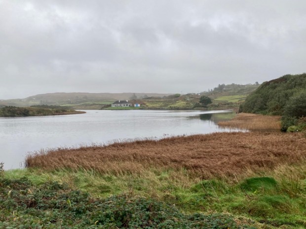
Parking up at the harbour in Cleggan we took the little boreen up past the pink granite house that the poet Richard Murphy built himself from the stone of abandoned cottages. The lane led us up one of the many drumlins in the area, little hills of boulder clay and glacial till. The good drainage afforded made for more fertile grazing land and the appearance of the stone studded soil, viewed from the sea that has cut a cross section through it, explains its name- Cnoc Breac / Speckled Hill.

Cresting the rise we continued down a long neglected little boreen through fields of cattle with faint views of the islands of Inisbofin and Inishshark across the misted sea. A fine Neolithic tomb, erected perhaps 6000 years ago sits near the sands of Sellerna Bay ( Sailearnach- sally or willow garden) where willow for lobster pots and baskets would have been grown.

Above the other, western, end of the crescent beach lies another, sadder, memorial to death. A scattering of small stones amongst the grassy tussocks are the only markers to the lives of the unbaptised children in this Cillin.

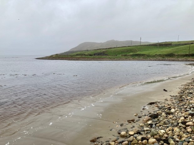
Crossing a little stream into the town land of Rossadillisk- named after the edible seaweed dillisk or dulse that grows on the shoreline-we clambered over the rocks before discovering an easier cliff top path that led us to the next beach, Tra Bhride ( Bridgets Strand) where some enigmatic structures look out onto the scene of a great tragedy.

The Cleggan Disaster of October 1927 devastated the area when a violent storm swept down the coast taking the lives of 45 fishermen, 16 of them from this small town land – dependant on fishing. Prior to the storm there were 36 households here- within 10 years it had reduced to 6, ruined by the event which also took 10 lives from Inishboffin and 19 from Lacken Bay and Iniskea island further north in Mayo, where the tragedy led to the total abandonment of the island I visited and wrote about in my The Back of Beyond: The Barony of Erris blog post. A heart and community breaking event which saw a calm and pleasant evening turn without warning into hellish maelstrom that smashed the fragile canvas currachs onto the rocks within sight of their families who wailed from the shore.

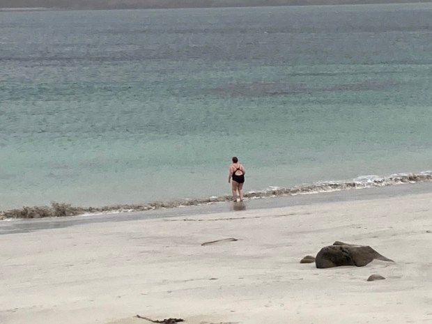
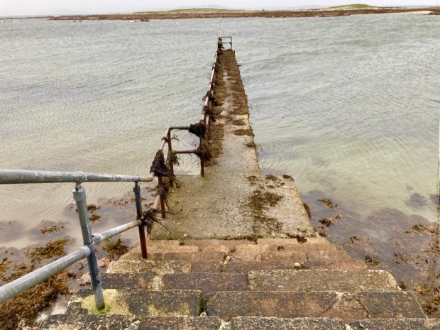
We left a lone brave swimmer and carried on around Rossadillisk Point to the little harbour pier and jetty jutting out towards the off shore reef.

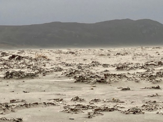
Paradise in fine weather maybe but the winds on this western fringe can raise a sand storm, tear flags apart and, as it did in October 1927, rip the roofs from houses. Luckily we only suffered some squally showers on our return to Cleggan.

The bald dome of Cleggan Head rises 500ft above the ocean on the north side of the bay and in the morning we walked across the causeway between beach and lake towards it. Not to scale it’s bracken and heather clothed slopes to the ruined Napoleonic signal tower in search of the resident Peregrine falcons but to follow the farm track, past the fine Victorian complex of houses and converted outbuildings of the Musgraves estate and down to the little cove of Port on the headlands northern shore.

The farms 500 acres of rough grazing on the head along with another 500 of commonage to the east are part of a Europe wide study of extensive grazing and the ecology and biodiversity and farm incomes that can go with such a sustainable system. People have certainly been farming here since the very first clearance of the trees over 5000 years ago, a monument of those original settlers lies next to the sea below the track – a humped backed wedgetomb. Passing another monument, to a family member who died in a riding accident, we carried on through a series of cleverly hung self closing gates to the little secluded cove and its ancient holy well.

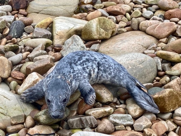
We came upon an injured young seal on the grassland above the beach and spent a good while in worried telephone consultation with Jo from the farm and Seal rescue down in Wexford who were sending out a local volunteer before we managed to encourage it back into the water to hopefully find mum.

After watching the seal disappear into the water we explored the dramatic and indented rocky cliffs of schist before retreating from another wind driven shower.

After lunch in the camper on the causeway we embarked upon walk number 2 on the above map of the area, to explore the town land of Sheeauns, or Na Siain, the fairy mounds, an area of low rounded hillocks of glacial moraine or drumlins that accommodates a wealth of Bronze Age monuments. Stone alignments, rows and sacred standing stones litter the landscape hereabouts along with the 1000 year older tombs of Neolithic times. Portal tombs, wedge tombs, court tomb and passage tombs – different designs laid bare after millennia of wind and rain have washed away their covering of soil- 32 of which have been found in this corner of Connemara , the richest concentration in Ireland- testify to a rich and unknowable past life around these quiet fairy mounds that now harbour more recent relics of people gone before.

But in climbing up to inspect the ring fort atop a prominent fairy hill I incurred the wrath, not of the fairies, but of the farmer who owned the land and the cattle or sheep pen that had been refashioned from the Iron Age structure. Banished from the ancient homestead I retreated to the camper and onward to Sellerna beach for the night.

With an improvement in weather forecast we were ready for Omey but had to wait for slack tide in order to cross from the mainland. That gave us time next morning for one more exploration of Cleggan head and its beaches and cliffs.

A couple of km east of Port the OS map showed a track from the town land of Bundouglas crossing northwest across the headland towards high cliffs on the indented coastline. From there we hiked back around to the stony beach below Shanboolard Hall which we also planned to visit.

The track, presumably made for getting to the shallow turf banks scattered across a wide area, ended abruptly at the high cliff edge. The savage seas here have torn into the sandstone and glacial till leaving the harder quartzite jutting out or standing tall in defiance. Kayak tours are popular below the cliffs, exploring the caves, coves, arches, stacks and stumps.

Making our way eastwards along the high ground buffeted by squally showers we passed a series of small bays, deep clefts scoured out by the waves, with exotic names- Ooeyuna, Ooeywalter, Ooeywaria, Ooeyandinnawarriv, Ooeylaunnlauraush and Ooeyansconsa. Views opened up down Ballynakill Harbour towards the 12 Bens and eventually we made it down onto the crescent wall of storm tossed pebbles and crossed to climb the grassy track leading up to Shanboolard Hall, another fine Anglo Irish estate house now an organic farm with walked gardens and a mighty wind turbine.

Related by marriage to the Musgraves of Cleggan House ,just over the headland, the former owner here relished in the name Captain Graham de Montmorency Armstrong- Lushington Tulloch. Now producing a wealth of organic fruit and veg they also have free range pigs and chickens, Connemara ponies and horses and a few Guinea fowl and bee hives. And a 3 bed holiday cottage to let. We had a chat with a couple working away in the garden and returned to the storm beach, crossing the stream emerging from the reed covered wetland.

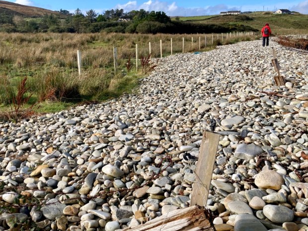
The constant movement of the beachpebble mound was illustrated by the buried line of redundant fencing that led us to the boot marking the way back to the camper.

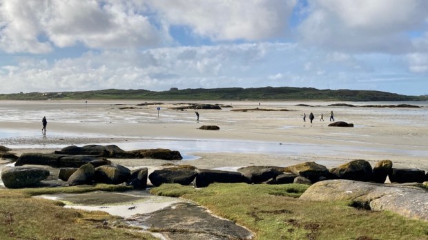
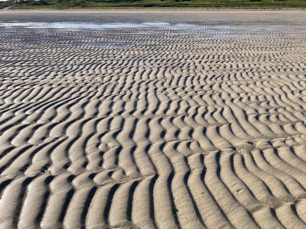
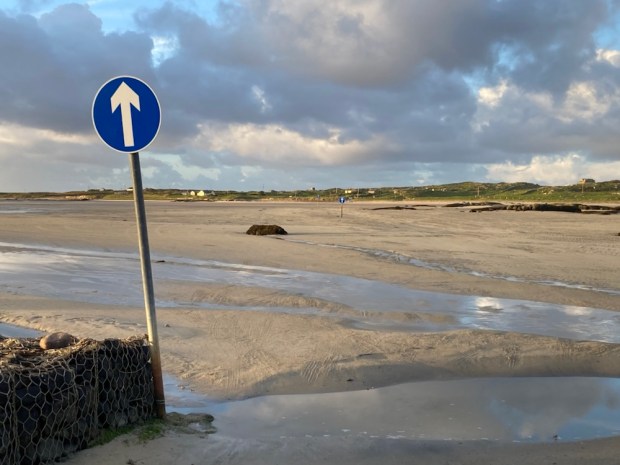
The sky was blue, rain and wind gone, the tide was retreating so off to cross the strand to Omey. Home to nearly 400 people before the famine and half that shortly after, it has only one permanent household now, our friends on the far western tip. The way across the wave rippled sands, open a few hours either side of low tide, is marked although locals seem to use other routes.

Once across the one narrow track leads up a rocky shore and passed small fields of grazing cattle on the eastern side. There are no sheep on the island, leaving it to the multitude of rabbits, whose burrows litter the sandy banks, to nibble the machair vegetation down to the nub. A large circular lake, Fahy Lough, takes up much of the centre of the island while the west is open and wild, with outcrops of granite looking like the works of Hepworth or Moore.

We took a leisurely stroll in the afternoon sun across the beach of Tra Rabhach to visit the holy well of St Feichin who came in the 6th century to found a monastic settlement and encountered fierce opposition from the locals, reputedly the very last pagans in Ireland. We carried on over the hillock high point of 26m adding our offering to the cairn and went on to gaze down at the excavated ruins of the medieval church, buried for centuries beneath the sands until dug out by the parish priest and locals in 1981. 100 years earlier, in 1881, a touring Daily Mail writer noted ” against the inhabited part of the island is what is now a mere sandbank. It is covered with sand, and not a soul dwells thereon. But there were people there once who clung in their stone cabins till the sand finally covered them; so that they might fairly be described as dwellers or burrowers therein”

The island struggled to feed its 400 inhabitants in the thin sandy soil although potatoes could do well as the same writer noted,” There us too much fresh air; for it blows so hard that people are afraid to disturb the thin covering of herbage……” if ye break the shkin of ‘um, your honour, the wind blows the sand away and leaves the pitaties bare. And, begorra, there are nights when the pitaties themselves ‘ud be blown away”.”

But we were blessed with being on Omey during a possibly very narrow window of time when the living is easy. There have been many changes to the island since the 1000 yr old shell middens were created here from the wastes of the society. And the changes wrought by the wastes of the present global society are likely to really stir up the sands of Omey. May St Feichin and his pagan god predecessors protect us.

NORTH MAYO: Woods and Moor, Bog and Shore

A couple of weeks after my last ramblings in the Nephin Wilderness Park we returned to Mayo, to explore the landscape to the north. We started by visiting Enniscoe House and its 3 km Woodland Loop. Actually we started in the Kaffa Coffee Cafe and museum in a converted outbuilding of the 18th century Georgian mansion before meandering around the walled ornamental and organic fruit and veg garden restored under the Great Gardens of Ireland Programme. It looked like Covid regulations or something had hit the upkeep of the gardens hard which was sad to see and we moved on to the woodland beyond the walls.

The gardens have been certified organic for over 25 years and other good things have been initiated here over decades. In 1993 10,000 sessile oaks, Ireland’s National Tree, were planted with help from the Tree Council ( and Mitsubishi) and the woods are part of a Neighbourwood Scheme to create local and community amenities for recreation in nature. They won the Forest Service Biodiversity award in 2013. It’s also an International Phenological Garden, one of 28 sites in Ireland that notes important dates in nature each year. Leafing, flowering, ripening and leaf fall etc- all important info- not least for the study of climate change.

We set off to follow the trail to Lough Conn and back around Fox Covert, Burnt Wood and other named avenues.

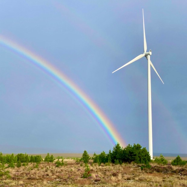
We parked up that night on the site of the old turf power station on Bellacorick bog, the flow country that stretches north from the Nephin mountains all the way to the coast.

Opened in 1963 it consumed 1000 tonnes of turf a day for 40 years finally being decommissioned in ’03 and demolished in ’07.

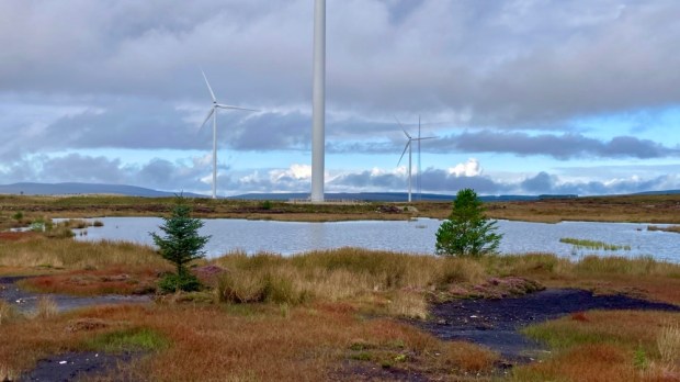
Ireland’s 1st commercial windfarm opened on the adjoining Bord na Mona land ( they have 10,000 hectares of bog) in ’92 with the 21 small turbines producing only 6.5MW. I say only because a new windfarm opened there in 2019 with the 29 big turbines producing 93MW!

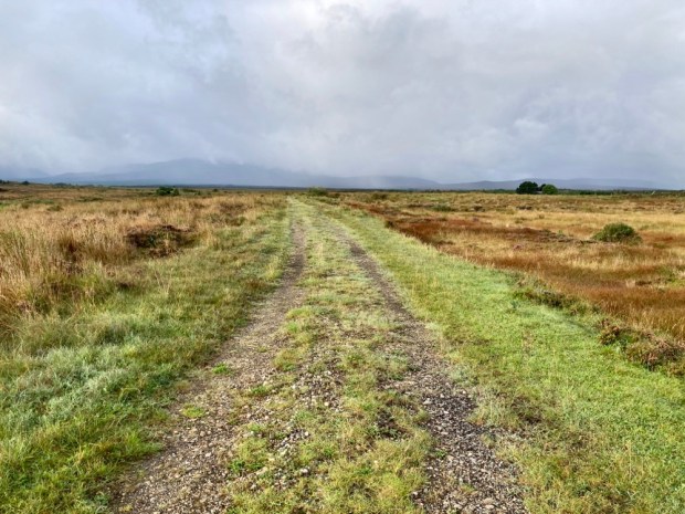
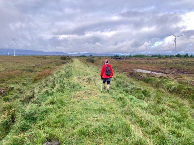
In the morning we crossed a new bridge over the Oweninny and joined the 13km looped walk around the site.

A joint venture between Bord na Mona and the ESB, the renewable energy plant is a major part of BnM’s “Brown to Green” rebranding. Although I think much of the cut away bog there is beyond restitution into a working carbon sink eco system, it is heartening to see its rapid transformation into a more ” natural” state.

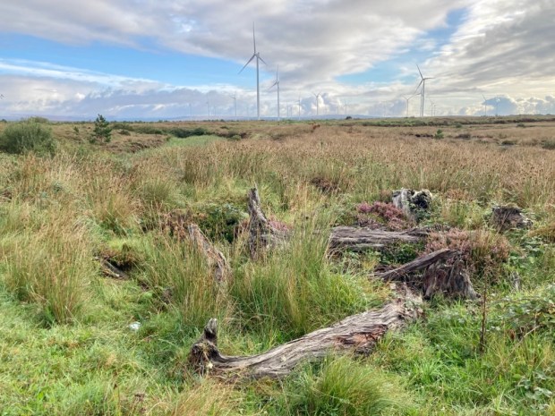
Cows and sheep grazing, insects and birds on the ponds and wild growth of heathers, grasses, lichens and mosses all testified to recovery. The paths followed the miles of old railway track, laid down to facilitate the removal of 1000 tonnes of ground a day. 10km of new roads have now been made for phase 2, complete next year and doubling the number of turbines and producing an additional 83MW of clean energy.

A nice flat easy hike across an amazing landscape under a very big sky. Unfortunately we discovered we shouldn’t have been on it at all when we tried to go to the visitor centre and discovered it closed due to construction of phase 2. A further, phase 3, is now in the planning stages- to bring another 50 MW on stream further to the east.

From a scene of a landscape heritage destroyed by exploitation of a natural resource to a scene of cultural and historical heritage destroyed for the same reason.

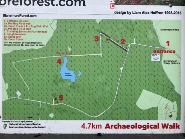
Across the bog a few km, near the proposed site of phase 3, is Blanemore Forest and its 4.7 km loop. A spruce, pine and larch plantation was thoughtlessly put down on top of a wealth of Neolithic and Bronze Age monuments.

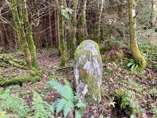
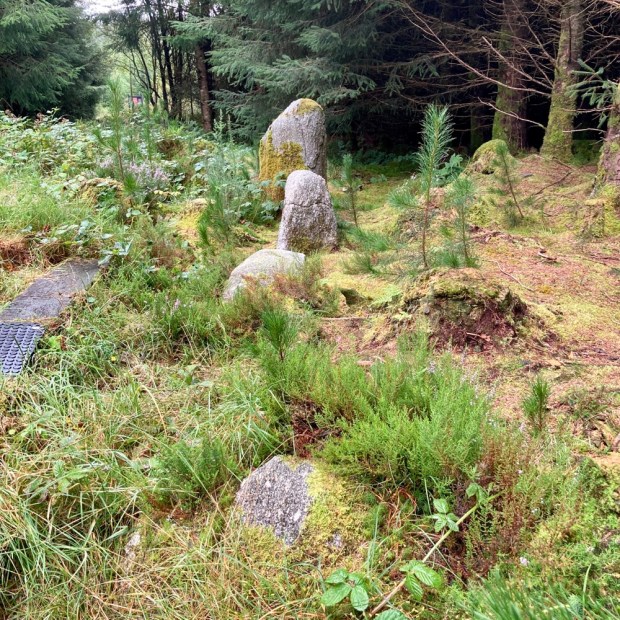
Although surveyed in the early 1960’s, when the state forestry board first bought and planted the land, the pre-bog boundary walls, field systems, court- tombs, stone row and standing stone here were “lost” for decades before being brought to light in ‘ 93 by a couple of archaeology students. Since then the local community has done much to preserve and present these remnants of Ireland’s first farmers over 5000 years ago.

For 500 years from 3,800BC Neolithic farmers cleared forest and created fields for grazing cattle before a change to a wetter climate and the growth of bog coupled with soil erosion led to the disappearance of the settlement here. The nearby Ceide Fields complex spans 1000’s of acres and is the largest Neolithic site in the world.

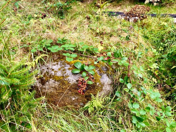
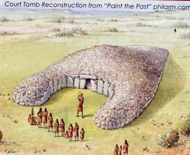
The trail led us on forest track and rubber mat boardwalks past information boards at each of the sites. Unfortunately much has been swallowed by the bog and forest and the repeated planting and harvesting operations have caused a lot of damage. In fact the capstone of the largest court tomb was deliberately knocked off by digger in the 60’s to see what lay under “the large flag” of the ” giants grave”. Thankfully all archaeology within state forests is now protected.

The site also contains a couple of impressive Bronze Age monuments from when farming returned about 600 years later as things warmed up again temporarily.

A large standing stone and a stone alignment atop a gravel ridge had a very different prospect before the trees surrounded them. It is conjectured that the stone row is in alignment with Nephin on the winter Soltice when the sun would appear to “roll” down its shoulder, similar to an event we have witnessed on Croagh Patrick.

After a few hundred years the wet returned, the farmers retreated east to the limestone, and the bog reclaimed the area again. Who knows what might be revealed later in this climate change?

It was a big weekend in Mayo and particularly in our next destination, Ballycastle. Not only was the Sam Maguire cup within reach again in Mayo’s 10th Gaelic football final since their last win after a 70 year wait but the Red Bull cliff diving championship was also happening from the dramatic coast there, creating a lot of razzmatazz.

We watched the game in a fairly raucous pub with the excitement growing for hours before the throw in. Sad to say it didn’t go well and we slid away to the camper after the final whistle unable to share the agony of the true Mayo people.

Sunday morning we walked down through town to the trail head of the Sralagagh 9.5km Loop and headed off a small road that became a boreen that became a track. Abandoned gravel pits, rough overgrown fields, some mattress dumping and views of farms smothered by forestry monoculture doesn’t sound great but our surroundings had a melancholy charm enhanced by the frequent gurgling of multiple watercourses.

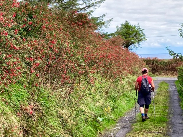
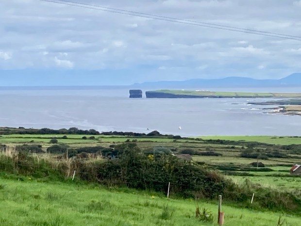
We reached old turf banks and at the highest point we turned down a bog track that stretched far into the distance. This deserted place must have been a busy hive of industry for generations of families producing fuel. From here we could look back to a sunlit Ballycastle and, further down the fuchsia track, the towering sea stack off Downpatrick Head where the diving was taking place.

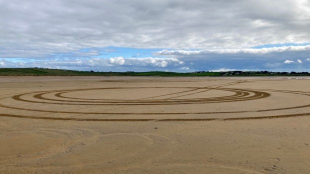
A coffee at the beach watching kayakers setting off for a fisheye view of the cliff divers, and we drove east over the headland for our last walking environment- the shore. The tide was out on Lacken Bay exposing miles of golden sands. There is a centuries old tradition of horse racing on the strand and every May thoroughbreds from around the country compete over a 5 furlong looped track surrounded by spectators who also engage in a variety of family fun sporting activities. Rather than sleek steeds racing around the sand we had to endure a boy racer doing doughnuts.
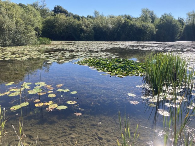
This is the scene of the French landing in 1798, the last act in that ill fated rebellion, and the troops marched across these sands to Killala and eventual defeat at Ballinamuck when the French were allowed to surrender whilst the Irish were massacred. We walked out into wide airy space experiencing a similar openness to the flat bog land horizons, tip toeing over the rivulets of retreating waters and admiring the big skies and small sandy details.
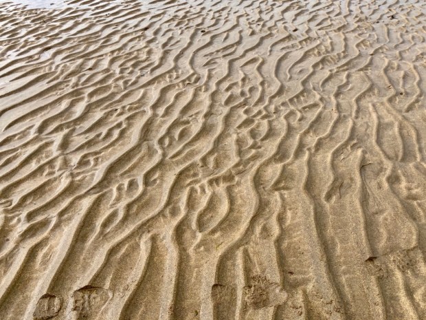
A lovely series of walks, but a slight sense of sadness crept in when contemplating the loss of life in the bloody rebellion and the memorial to fishing disaster, the migratory birds lining up to leave, signifying the end of summer and ,of course, the sad defeat of the Mayo hurlers.