Wild Atlantic Way Walks

DELPHI and SCREEB: Sporting Lodges of the Wild West

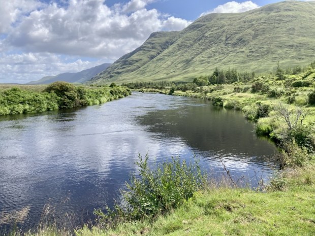
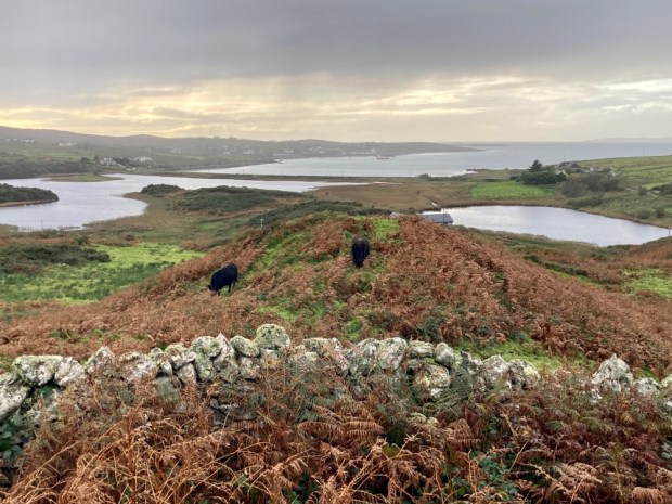
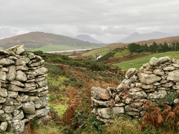
A micro adventure into luxury in the midst of savage beauty took us north around Killary Fiord and into Mayo and the lonely Delphi valley. Following the Bundorragh river up from the little harbour on the fiord we passed Fin Lough and swept up the tree lined drive to the serenely cosseted environs of Delphi lodge.
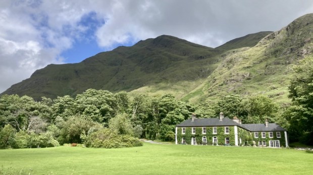
The 1000 acre estate and Georgian country house , built for the Marquis of Sligo in the 1830’s, is a renowned salmon and sea trout fishery surrounded by the tallest mountains in Connaught. At great pains to point out it is not run as an hotel ( no room service, no tv, no porter, no menu choices etc) it is still very popular with paying guests, many of whom return time and again to fly fish and relax. The dining is communal around a massive oak table and the bar is self service/ honesty book. There’s a billiards room, a library well stocked with shooting and fishing tales and a sofa stuffed lounge where canapés are served pre dinner.

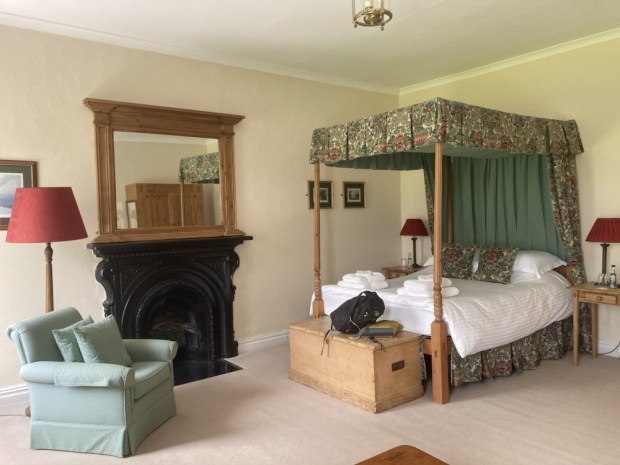
King Charles, or Prince Charles at the time, had stayed in our room for a couple of nights on a solo painting and fishing trip back in 1995, the very first trip by a British royal to the republic since the foundation of the state. I fancied I could smell the privilege around the four poster bed.
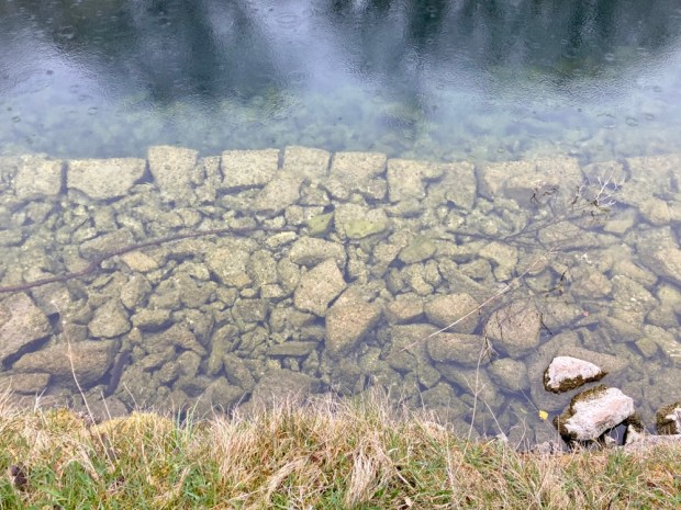
With the scudding tumulus creating a light show of sun and shade across the lake and mountains we were drawn out to explore. Following the Owengarr river upstream from Fin Lough towards Doo Lough we marvelled at the clarity of the water. Before too long we reached the hatchery where 50,000 salmon smolts are raised and released a year, dramatically increasing the salmon population. To protect the genetic integrity of the wild fish all those from the hatchery, marked by clipped fins, are killed if caught whereas any wild fish must be released. All sea trout are released. The big circular tanks were writhing with life.

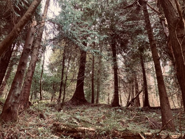
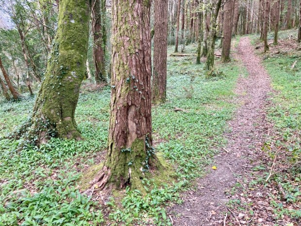
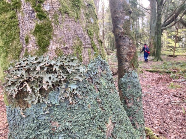
Walking back through the woodland we noticed the invasive rhododendron had been effectively dealt with by cutting slots and presumably poisoning. The Atlantic Rainforest climate made for a mossy green environment in one of Irelands wettest places.

After our night in the room resonating with the memory of a royal we travelled up the road a little to the scene of a famine era tragedy caused by a heartless colonial British Empire.
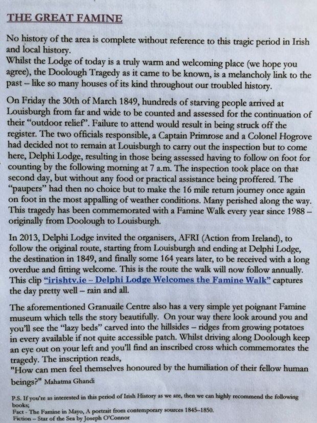
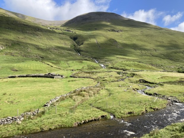
I’d been on a couple of the Famine Walks from Delphi Lodge to Louisburgh mentioned above and found them a powerful collective experience that focuses on the many injustices that continue around the world. The fine weather removed the gloom that can linger here under a dark and oppressive sky and we took a trip a little way up the Glenummera river that runs into Doo Lough from the Sherry Hills to the east.
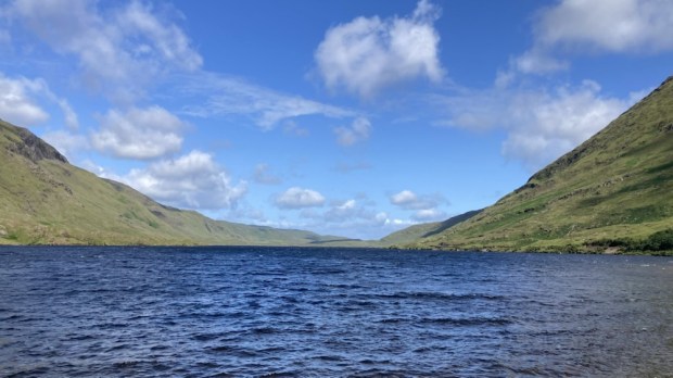
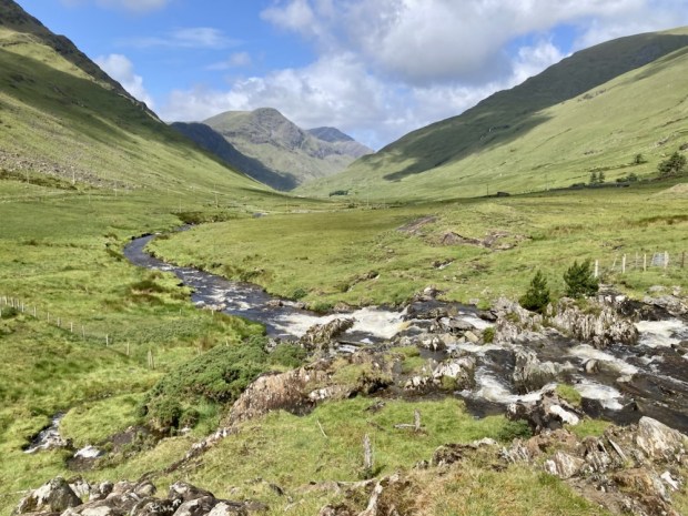
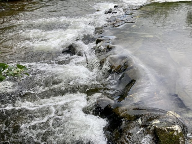
Returning to Delphi and saying our goodbyes as the fisherman cast their flys into the lake we moved back south to the head of the fiord to walk the Western Way along the Erriff river.

Starting out from the famous Assleagh Falls, where Sir David Attenborough was filmed explaining the life history of the eel and a fight sequence appeared in the movie of John B Keane’s The Field, we followed the waters upstream.

The country opened up before us, the wide Erriff valley faced with the Devils Mother to the south and Ben Gorm rearing up to the north. The river is one of Ireland’s premier salmon fishing rivers and has been designated as the National Salmonid Index Catchment, used as a prime example of a salmonid river system of high quality with a research station and trapping facilities. Managed by Inland Fisheries Ireland who carry out a wide range of research and monitoring on salmon, sea trout and brown trout, the work involves cooperation with lots of national and international research partners.
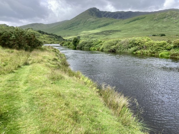
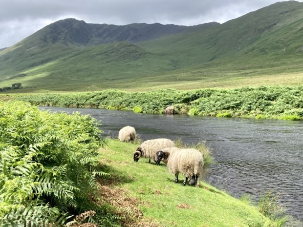
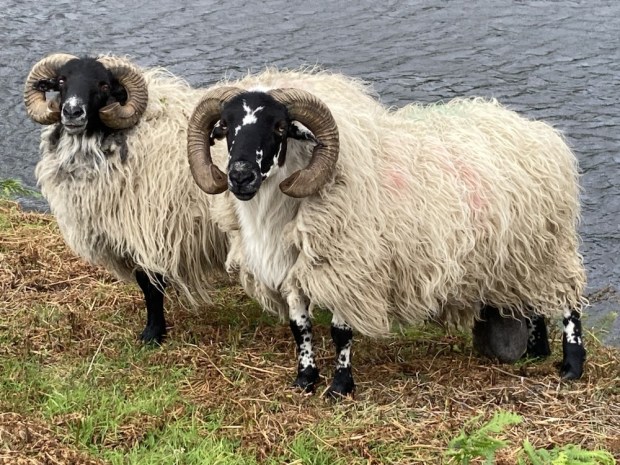
We came upon a few fly fisherman trying their luck, testing their skills, but mostly the valley was empty apart from a few sheep, one of whom had an unfortunate problem with a hugely enlarged scrotum.

The Western Way continues across Mayo for another 130 km, up past Croagh Patrick and Westport, northwards up Clew Bay, across the wilds of the Nephin Begs and the wilderness of Bellacorick bog and Sheskin forest to Ballycastle. But for us it was time to turn around and return to the Falls. We were going to Rosmuc, in South Connemara and another fishing lodge.
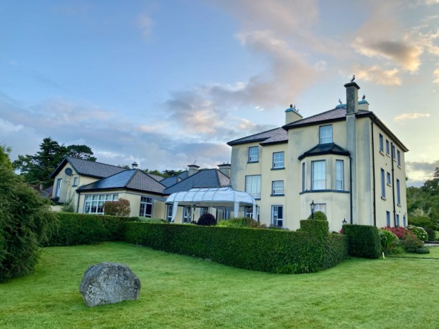
Screeb House on the shores of Camus bay is a vast fishing and hunting lodge. At 45,000 acres it is one of the largest hunting estates in the country and 16 red deer were introduced in 1996 after an absence of 150 years. They grew into a herd of about 150, managed skilfully by Paul Wood whose methods produced the largest stags in Britain and Ireland. Never confined and free to roam the mountains, bog, moor and forests browsing on bramble and ling heather they were selectively culled when old or frail. One stag known as The Sailor was so massive a team of 7 men with a quad bike couldn’t shift his carcass. They had to quarter him where he fell and weighed in at 50 stone, whereas the heaviest Highland beasts seldom exceed 20 stone.

The fishery includes 16 interconnected loughs and the number of rods allowed on the river beats and lakes is strictly controlled for conservation of stocks. The hatchery produces 50,000 smolts a year, like Delphi, released into the pristine waters over the estate.

The house was built in 1860 for Thomas Fuge and was bought by the Berridge family, owners of Ballynahinch Castle, brewers from London who managed to accrue 160,000 acres of co Galway. Lord and Lady Dudley also spent a lot of time there when he was the Lord Lieutenant of Ireland. Lady Dudley, shocked by the poverty of the locals and lack of healthcare set up the Dudley Nurses.

Although not medically qualified she went on to do the same in Australia,and start a flying doctor service when her husband was appointed Governor General there in 1908, and later setup field hospitals on the 1st WW battlegrounds of northern France. Tragically while back at Screeb in 1920 she went for a swim from the harbour there and was found drowned later.

I’d spotted a dotted line on the Ordnance survey map of the area, a track, that crossed the lake studded empty wastes of the bog from Rosmuc to Maam Cross, a distance of more than 10km. Before the coast road was built in the 1850’s this was the only route there was and we followed it into the past.
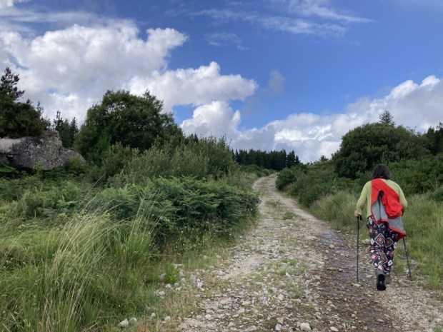
The big sky and wide horizon opened up, with long sighted views across the vastness to the Bens and Maumturks beyond. The rough and rocky path took us down to the shores of Lough an Oileain, where in Penal days the mass would be celebrated secretly.
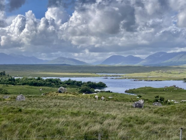
We followed the traces of the past, drawn towards a place that resonated with the ghosts of lives lived long ago. Tim Robinson, map maker and Connemara geographer, described it better than I could in his book A Little Gaelic Kingdom.

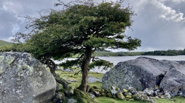
It was truly a place of melancholy spirit but with a strength and perseverance to survive in the hardest of times. The hawthorns were remarkable in their endurance but were at the end of their lives as witness to relentless hardship.

The wilderness here is to me an irresistible force and I like to think that I will be back to continue to follow the dotted line to Ma’am Cross but for now it was time for us to return to the pampered life of a house guest in a Connemara sporting lodge.

CONNEMARA WEST: Walking into Paradise

For Sam

A few days commitment free and an invitation from old friends to visit them on Omey Island was all the encouragement we needed to load up the camper and head into the west. The Wild West weather wise. Our friends place on the far western edge of an island off the far western edge of Ireland was no place for camping the day we set off so we decided to seek shelter and explore the Aughrus peninsular to the north till the weather improved.

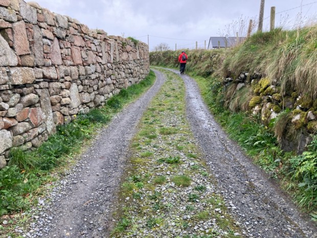
Parking up at the harbour in Cleggan we took the little boreen up past the pink granite house that the poet Richard Murphy built himself from the stone of abandoned cottages. The lane led us up one of the many drumlins in the area, little hills of boulder clay and glacial till. The good drainage afforded made for more fertile grazing land and the appearance of the stone studded soil, viewed from the sea that has cut a cross section through it, explains its name- Cnoc Breac / Speckled Hill.

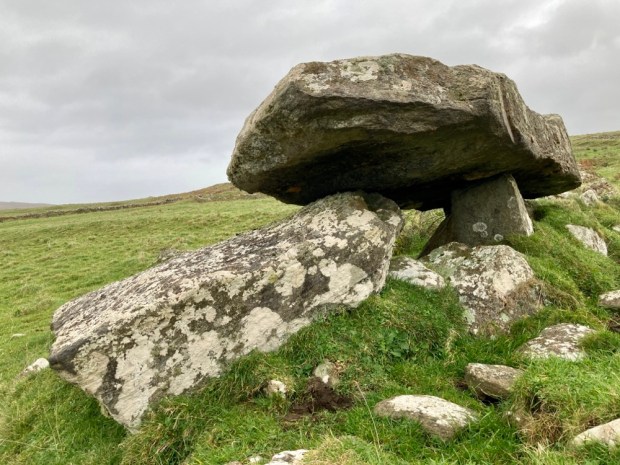
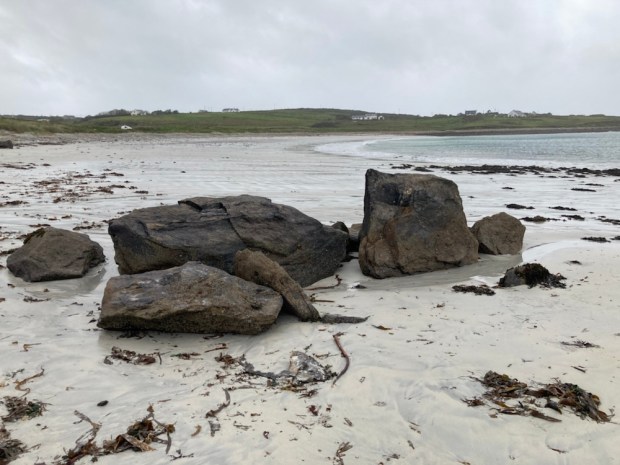
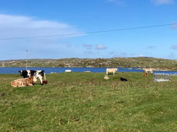
Cresting the rise we continued down a long neglected little boreen through fields of cattle with faint views of the islands of Inisbofin and Inishshark across the misted sea. A fine Neolithic tomb, erected perhaps 6000 years ago sits near the sands of Sellerna Bay ( Sailearnach- sally or willow garden) where willow for lobster pots and baskets would have been grown.

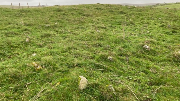
Above the other, western, end of the crescent beach lies another, sadder, memorial to death. A scattering of small stones amongst the grassy tussocks are the only markers to the lives of the unbaptised children in this Cillin.

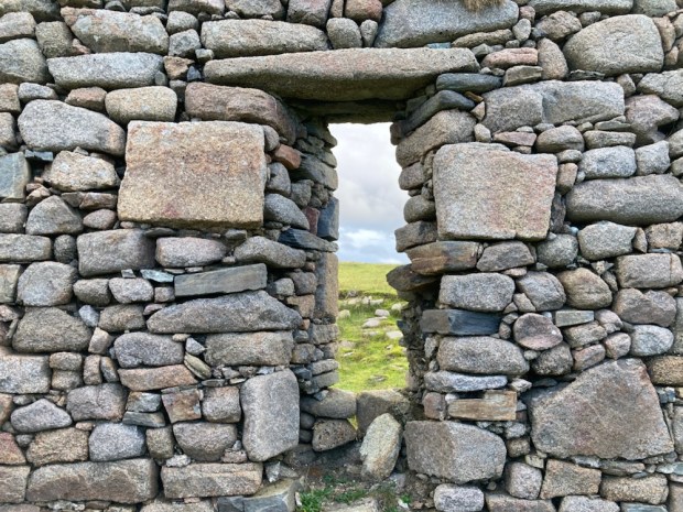
Crossing a little stream into the town land of Rossadillisk- named after the edible seaweed dillisk or dulse that grows on the shoreline-we clambered over the rocks before discovering an easier cliff top path that led us to the next beach, Tra Bhride ( Bridgets Strand) where some enigmatic structures look out onto the scene of a great tragedy.

The Cleggan Disaster of October 1927 devastated the area when a violent storm swept down the coast taking the lives of 45 fishermen, 16 of them from this small town land – dependant on fishing. Prior to the storm there were 36 households here- within 10 years it had reduced to 6, ruined by the event which also took 10 lives from Inishboffin and 19 from Lacken Bay and Iniskea island further north in Mayo, where the tragedy led to the total abandonment of the island I visited and wrote about in my The Back of Beyond: The Barony of Erris blog post. A heart and community breaking event which saw a calm and pleasant evening turn without warning into hellish maelstrom that smashed the fragile canvas currachs onto the rocks within sight of their families who wailed from the shore.

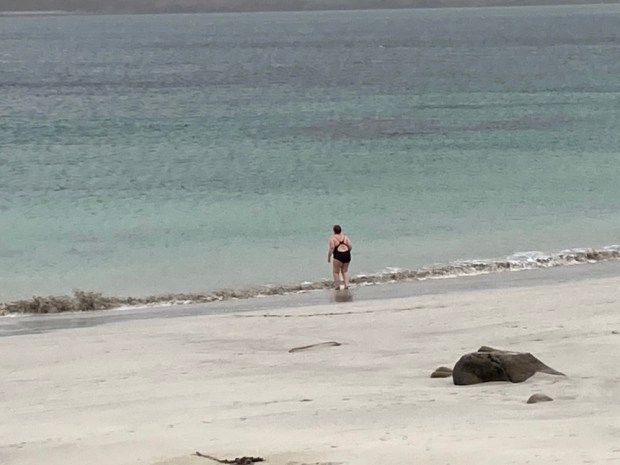
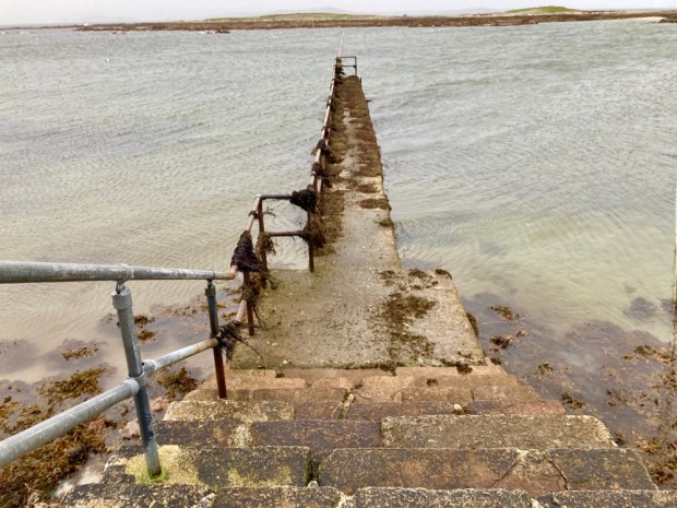
We left a lone brave swimmer and carried on around Rossadillisk Point to the little harbour pier and jetty jutting out towards the off shore reef.

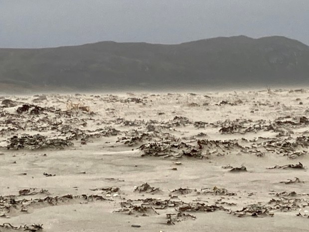
Paradise in fine weather maybe but the winds on this western fringe can raise a sand storm, tear flags apart and, as it did in October 1927, rip the roofs from houses. Luckily we only suffered some squally showers on our return to Cleggan.

The bald dome of Cleggan Head rises 500ft above the ocean on the north side of the bay and in the morning we walked across the causeway between beach and lake towards it. Not to scale it’s bracken and heather clothed slopes to the ruined Napoleonic signal tower in search of the resident Peregrine falcons but to follow the farm track, past the fine Victorian complex of houses and converted outbuildings of the Musgraves estate and down to the little cove of Port on the headlands northern shore.

The farms 500 acres of rough grazing on the head along with another 500 of commonage to the east are part of a Europe wide study of extensive grazing and the ecology and biodiversity and farm incomes that can go with such a sustainable system. People have certainly been farming here since the very first clearance of the trees over 5000 years ago, a monument of those original settlers lies next to the sea below the track – a humped backed wedgetomb. Passing another monument, to a family member who died in a riding accident, we carried on through a series of cleverly hung self closing gates to the little secluded cove and its ancient holy well.

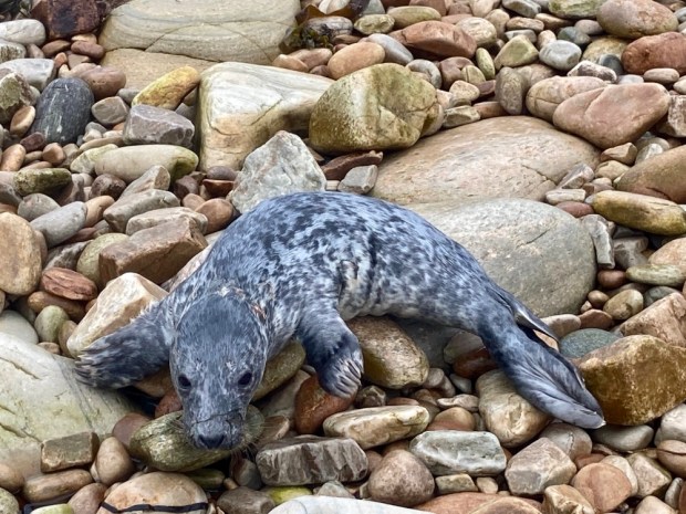
We came upon an injured young seal on the grassland above the beach and spent a good while in worried telephone consultation with Jo from the farm and Seal rescue down in Wexford who were sending out a local volunteer before we managed to encourage it back into the water to hopefully find mum.

After watching the seal disappear into the water we explored the dramatic and indented rocky cliffs of schist before retreating from another wind driven shower.

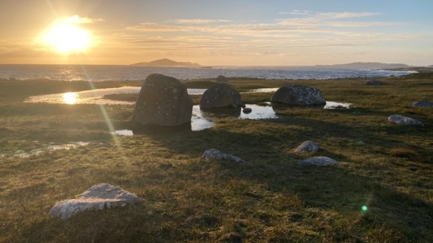
After lunch in the camper on the causeway we embarked upon walk number 2 on the above map of the area, to explore the town land of Sheeauns, or Na Siain, the fairy mounds, an area of low rounded hillocks of glacial moraine or drumlins that accommodates a wealth of Bronze Age monuments. Stone alignments, rows and sacred standing stones litter the landscape hereabouts along with the 1000 year older tombs of Neolithic times. Portal tombs, wedge tombs, court tomb and passage tombs – different designs laid bare after millennia of wind and rain have washed away their covering of soil- 32 of which have been found in this corner of Connemara , the richest concentration in Ireland- testify to a rich and unknowable past life around these quiet fairy mounds that now harbour more recent relics of people gone before.

But in climbing up to inspect the ring fort atop a prominent fairy hill I incurred the wrath, not of the fairies, but of the farmer who owned the land and the cattle or sheep pen that had been refashioned from the Iron Age structure. Banished from the ancient homestead I retreated to the camper and onward to Sellerna beach for the night.

With an improvement in weather forecast we were ready for Omey but had to wait for slack tide in order to cross from the mainland. That gave us time next morning for one more exploration of Cleggan head and its beaches and cliffs.

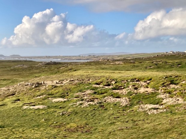
A couple of km east of Port the OS map showed a track from the town land of Bundouglas crossing northwest across the headland towards high cliffs on the indented coastline. From there we hiked back around to the stony beach below Shanboolard Hall which we also planned to visit.

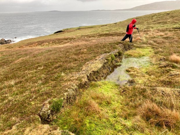
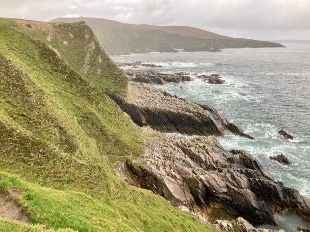
The track, presumably made for getting to the shallow turf banks scattered across a wide area, ended abruptly at the high cliff edge. The savage seas here have torn into the sandstone and glacial till leaving the harder quartzite jutting out or standing tall in defiance. Kayak tours are popular below the cliffs, exploring the caves, coves, arches, stacks and stumps.

Making our way eastwards along the high ground buffeted by squally showers we passed a series of small bays, deep clefts scoured out by the waves, with exotic names- Ooeyuna, Ooeywalter, Ooeywaria, Ooeyandinnawarriv, Ooeylaunnlauraush and Ooeyansconsa. Views opened up down Ballynakill Harbour towards the 12 Bens and eventually we made it down onto the crescent wall of storm tossed pebbles and crossed to climb the grassy track leading up to Shanboolard Hall, another fine Anglo Irish estate house now an organic farm with walked gardens and a mighty wind turbine.

Related by marriage to the Musgraves of Cleggan House ,just over the headland, the former owner here relished in the name Captain Graham de Montmorency Armstrong- Lushington Tulloch. Now producing a wealth of organic fruit and veg they also have free range pigs and chickens, Connemara ponies and horses and a few Guinea fowl and bee hives. And a 3 bed holiday cottage to let. We had a chat with a couple working away in the garden and returned to the storm beach, crossing the stream emerging from the reed covered wetland.

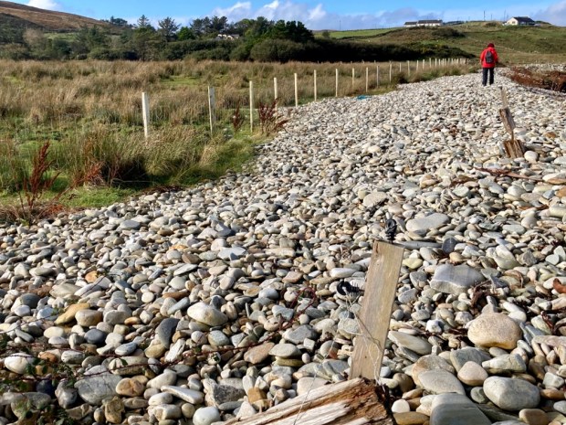
The constant movement of the beachpebble mound was illustrated by the buried line of redundant fencing that led us to the boot marking the way back to the camper.

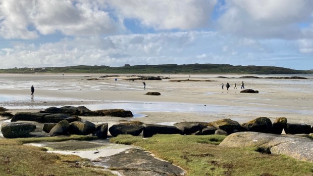
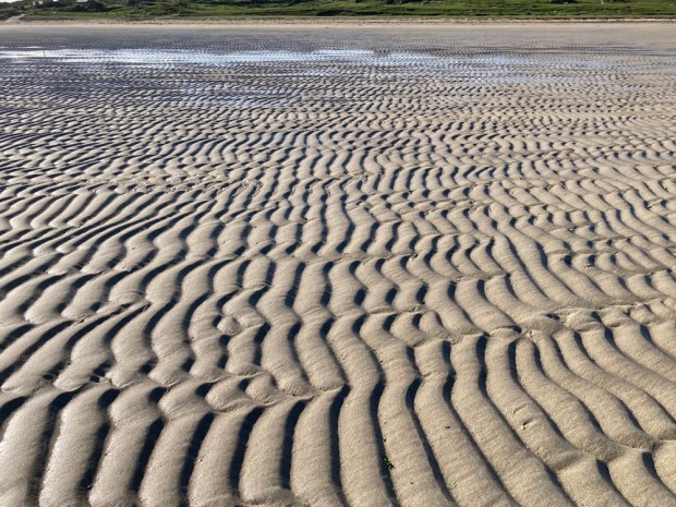
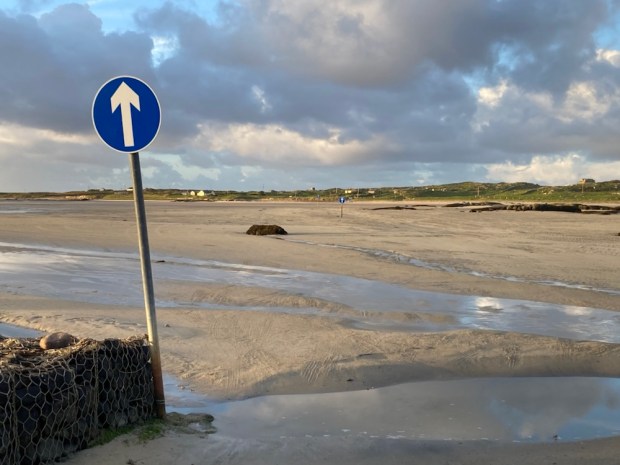
The sky was blue, rain and wind gone, the tide was retreating so off to cross the strand to Omey. Home to nearly 400 people before the famine and half that shortly after, it has only one permanent household now, our friends on the far western tip. The way across the wave rippled sands, open a few hours either side of low tide, is marked although locals seem to use other routes.

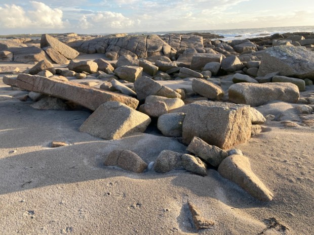
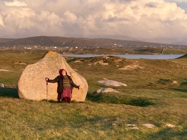
Once across the one narrow track leads up a rocky shore and passed small fields of grazing cattle on the eastern side. There are no sheep on the island, leaving it to the multitude of rabbits, whose burrows litter the sandy banks, to nibble the machair vegetation down to the nub. A large circular lake, Fahy Lough, takes up much of the centre of the island while the west is open and wild, with outcrops of granite looking like the works of Hepworth or Moore.

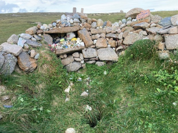
We took a leisurely stroll in the afternoon sun across the beach of Tra Rabhach to visit the holy well of St Feichin who came in the 6th century to found a monastic settlement and encountered fierce opposition from the locals, reputedly the very last pagans in Ireland. We carried on over the hillock high point of 26m adding our offering to the cairn and went on to gaze down at the excavated ruins of the medieval church, buried for centuries beneath the sands until dug out by the parish priest and locals in 1981. 100 years earlier, in 1881, a touring Daily Mail writer noted ” against the inhabited part of the island is what is now a mere sandbank. It is covered with sand, and not a soul dwells thereon. But there were people there once who clung in their stone cabins till the sand finally covered them; so that they might fairly be described as dwellers or burrowers therein”

The island struggled to feed its 400 inhabitants in the thin sandy soil although potatoes could do well as the same writer noted,” There us too much fresh air; for it blows so hard that people are afraid to disturb the thin covering of herbage……” if ye break the shkin of ‘um, your honour, the wind blows the sand away and leaves the pitaties bare. And, begorra, there are nights when the pitaties themselves ‘ud be blown away”.”

But we were blessed with being on Omey during a possibly very narrow window of time when the living is easy. There have been many changes to the island since the 1000 yr old shell middens were created here from the wastes of the society. And the changes wrought by the wastes of the present global society are likely to really stir up the sands of Omey. May St Feichin and his pagan god predecessors protect us.

CONNEMARA NORTH: Journey into Joyce Country

The 5km restraining order finally lifted, allowing us to travel anywhere within our county so we headed back up to Connemara in the camper- this time to the far northeast.

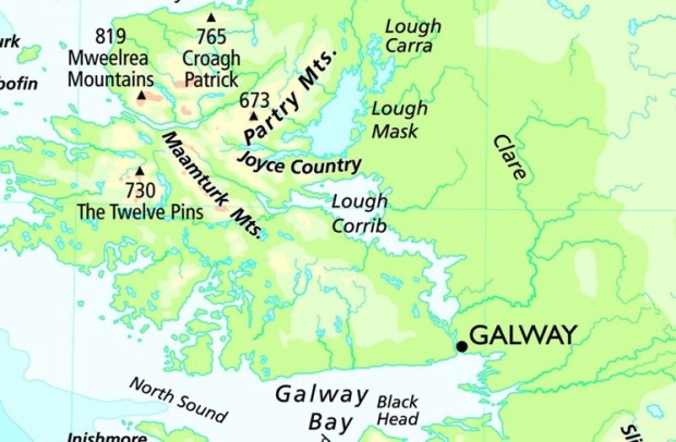
Joyce Country is a wild, beautiful and often overlooked area of north Galway and south Mayo between loughs Mask and Corrib from Maam to Clonbur, from the mighty Maamturks mountains to the tranquil wooded shores of the lowland lakes.

Named after the Joyce family who arrived from Wales in the 13th c in the wake of the Norman invaders it kept its name and identity due to its remote inaccessibility. The family married into the O’Flahertys and other clans and ended up controlling a vast area of the Barony of Ross.

We parked up on the pier at Cornamona, last visited when our boat had broken down out in the lake and the rescue services had towed us to shore here ( a story told in my Lough Corrib: Walking on Water blog post)

On arrival I noticed a couple struggling with bailing buckets and ropes tied to a listing vessel and went to help. Incredibly, when I told the fella about the circumstances of my previous rescue there he said “That was me”!

He had been the duty commander of the volunteer team that fateful day- and now, coincidentally I was attempting to help with his leaking boat.

Unfortunately it proved impossible to get the holed aft back to shore and the boat was left on blocks for the night.

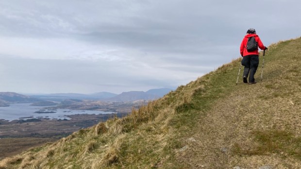
Our first hike in the morning was up Benlevy or Mt Gable, a 416m mass that dominates the isthmus between Mask and Corrib, guarding one of the major routes into Connemara from the east. It also has what is reckoned to be one of the most beautiful and scenic mountain walks in Ireland and supposedly gives a lot in return for not too much effort, with one of the reviews on the Mountainviews website reporting on a family birthday hike claiming ” an easy walk for first timers- our 9,6 and 3 yr old did it”! It wasn’t that easy!

Years ago we had walked the Seanbhothar route between Clonbur ( An Fhairche) and Corr na Móna, a 10km hike along the old road along the shoulder of Benlevy ( Binn Shleibhe) and had been enchanted by the views of the island dotted lake. The proper Irish names would often be used as most of this area is within an Irish speaking Gaeltacht, the largest in the country.

Pulling up in a small car park at the base of the mountain at Ballard we were happy and grateful to see we were welcome as hillwalkers and a stile and signage had been provided. The route was unmistakeable though as we followed the old turf cutters track steeply up the side of the hill passed some contented sheep.

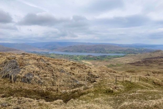
The views down over the islands got better and better and in the distance to the west the high ranges glowed in the morning sun. The track went all the way to the broad and open summit plateau where we continued west for another km or so to reach the concrete trig point.

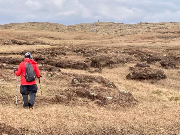
Crossing the summit passed the peat hags we gained views northwest over Lough Nafooey and Finny and further on northwest over Mask and Coolin Lough and the woodlands we were off to explore next.

Sally couldn’t resist collecting some bones that belonged to an unfortunate sheep that had died and was being subsumed into the bog.

The area we were exploring was all part of the 1500 sq km proposed Joyce Country and Western Lakes Geopark , a €1.2 million project running in 2020 and 21 to prepare a submission to UNESCO and hopefully be granted Geopark status in 2023 and join the Copper Coast (Wexford), Burren and Cliffs of Moher (Clare) and Marble Arch Caves (Fermanagh and Cavan). Unfortunately started during the Covid pandemic the plan was to run a series of events and activities and an educational programme for all levels.

Having explored all three of the other Geoparks I’d definitely say the area is worthy, with the contrasting upland and lowland landscapes and big range of rock types and habitats so good luck to them.

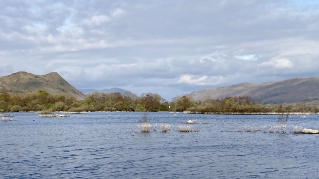
On to Clonbur to the glorious woodlands on the shores of Lough Mask. Part of the Ashford estate owned by the Guinness family ( along with another 20,000 acres of County Galway) until sold to the state in 1939, Coillte have restored/created 300 hectares of diverse native woodland here under the EU’s LIFE Nature programme.

We parked up next to the early Christian settlement and abbey of Teampall Brendain at Rosshill cemetery and headed off around White Island and then the 7km Ballykine loop.

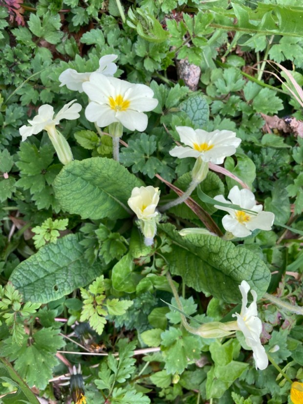
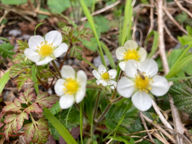
The spring flowers were a glory as we followed the path over a man made causeway and around the island, stopping for a rest at one of the scenic benches.

Although there were some mature conifers and exotic non natives the restoration carried out had involved the removal of many to encourage natural regeneration of native species and the planting of many more. The yew wood had been extended by the planting of cuttings taken locally.

After our circumnavigation of the lake island we continued eastwards and out onto the limestone pavement that make this mixed woodland so special. Part of the much larger Lough Carra Mask SAC this is the largest area of limestone pavement outside of the Burren and is home to all the same species of tree , hazel, ash, white beam, buckthorn, black and hawthorn, spindle and yew.

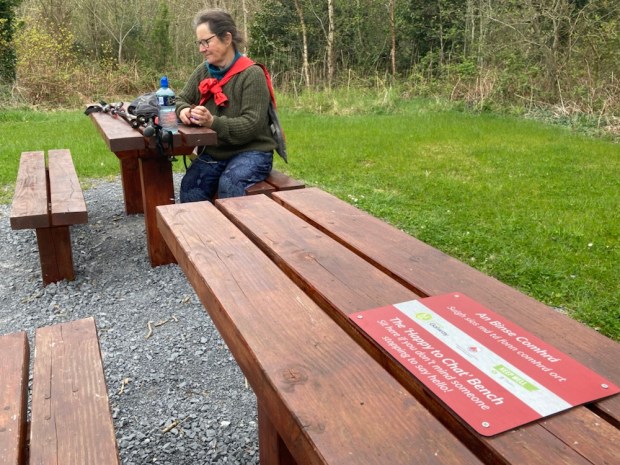
Across a wooden bridge over the Clonbur river we passed small lakes to a track junction at the site of an old sawmill. There we had our antisocial lunch on the ” not happy to chat” bench, although I would have quickly moved if anyone had happened along.

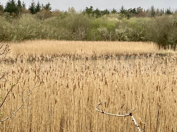
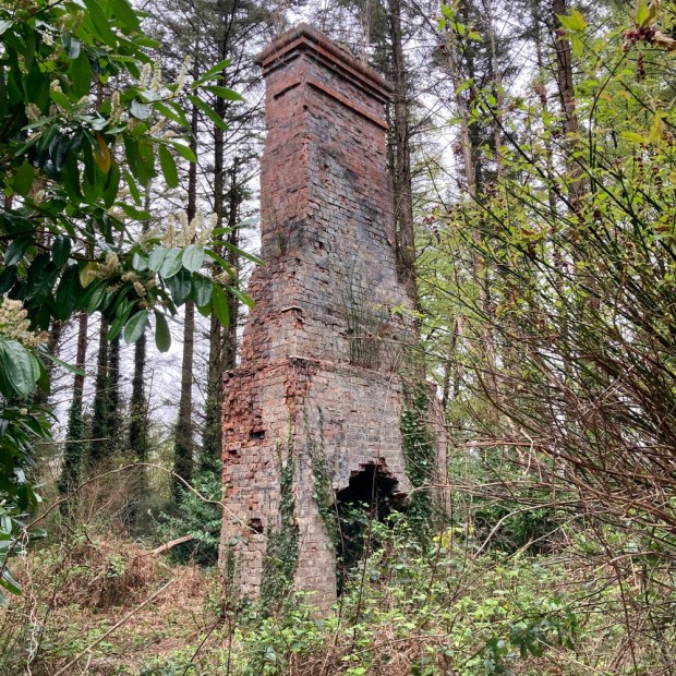
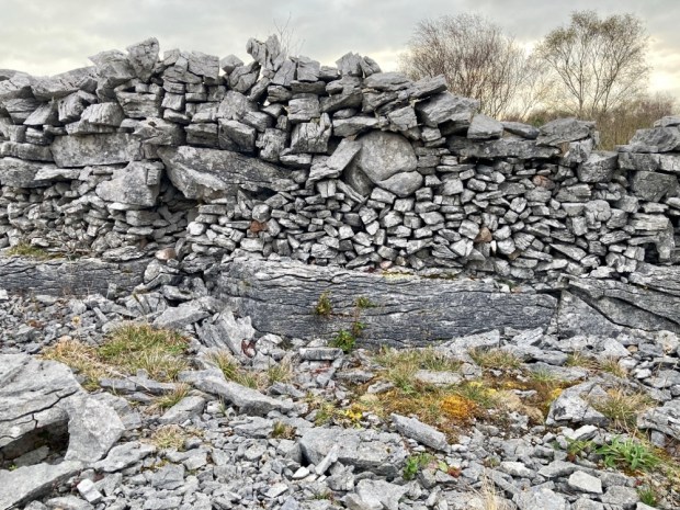
Next up a strange collection of moss covered limestone boulders that was referred to as the Guinness luncheon house ruin, a reed bed haven for bird life, a stone built submerged jetty and the chimney remnant of a shooting lodge.
Not wanting to disturb the dead, (or be disturbed by them!), we moved for the night to a park up on the Lough Mask limestone plateau.

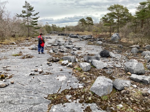
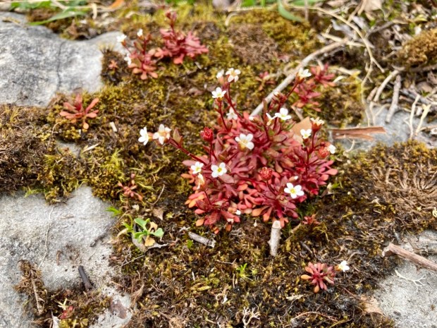
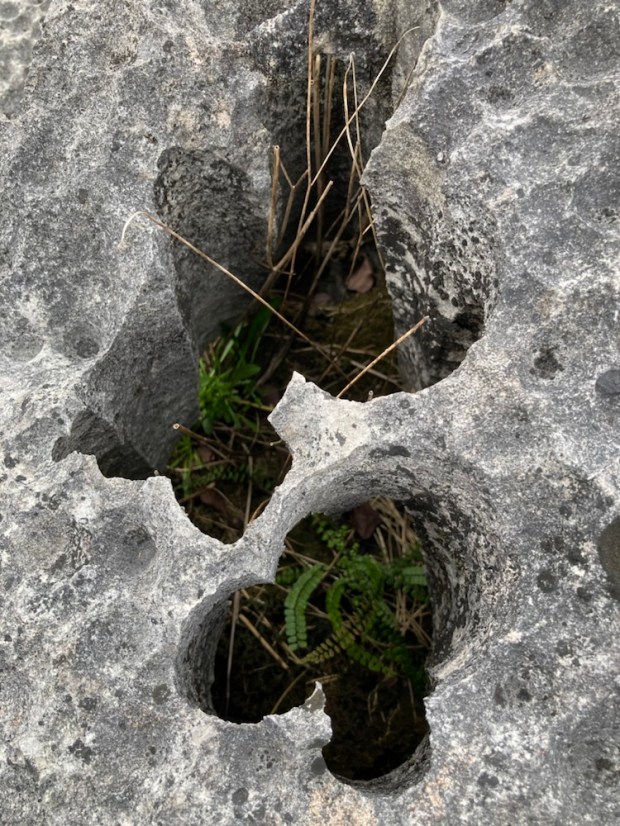
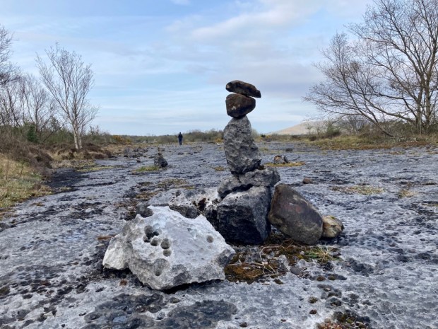
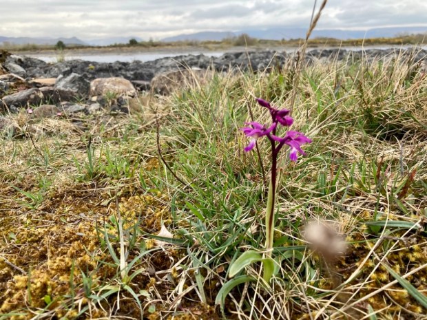
A remarkable spot. In the morning we ventured out onto the slab and marvelled at the walls, the grikes and clints, the egg box and boulder in socket formations ( unique globally to the Lough Mask region) , the bonsai tree microcosm and the tenacious orchids.

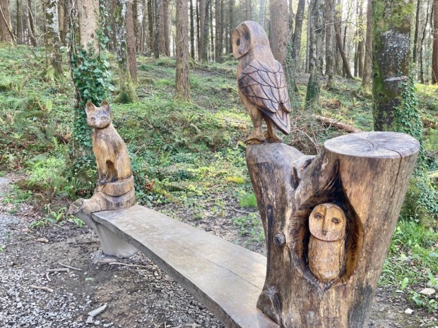
Our last walk was another circumnavigation, this time the 3.5 km loop of Big Island again joined to the mainland by another Victorian causeway. We were greeted by chainsaw carvings in the children’s nature corner and fine mature tree specimens.

With the sun shining we took advantage of another scenic bench to sit in the sun and admire the views of the Partry mountains before climbing up to the top of the island’s inner mound for more meetings with remarkable trees.

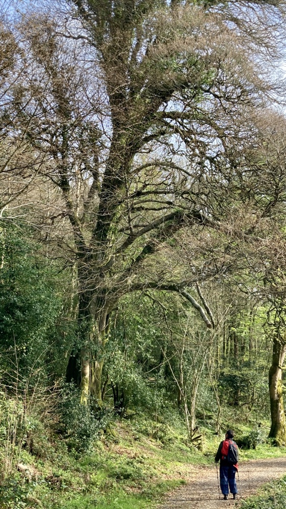
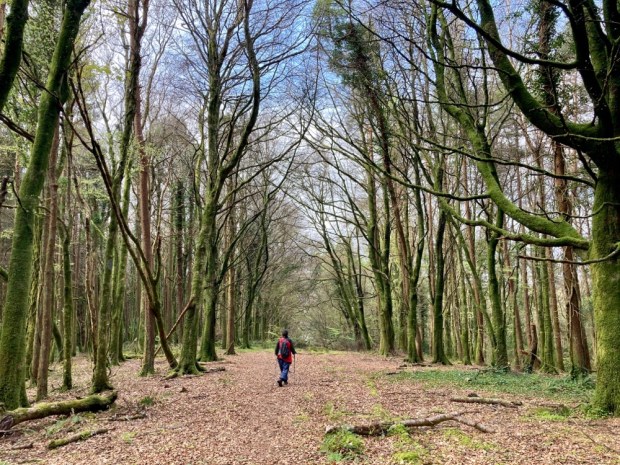
Venerable old trees, giving life even in death, we returned homewards along a fine wide woodland ride, planning our own journey into native woodland management.

Stepping Stones – the Burren Way

DSCN0492

In the northwest corner of County Clare, halfway up the Wild Atlantic Way coastline of Ireland lies a unique environment.

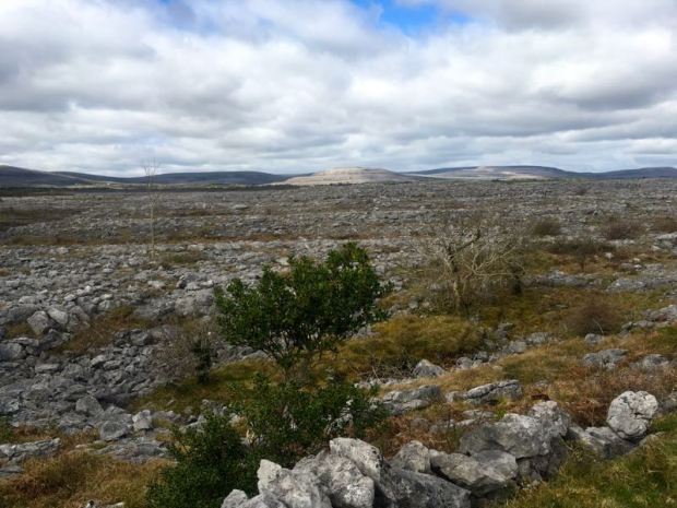
250sq km of a glaciated karst landscape, with swirling terraced hills of limestone rising up from the ocean to the west and standing guard over the plains to the east. Scoured clear of earth and vegetation by ice age, erosion and man, the pale grey rock appears otherworldly and from a distance, denude of life.

But the naked stone stores and radiates the suns heat, the grikes or narrow channels between the slabs or clints provide shelter and the calcium rich soils undisturbed by the plough all make for a botanical wonderland and botanists and plant lovers from across the globe come to marvel at species from arctic-alpine and Mediterranean habitats living happily together in the west of Ireland.
The rock has discouraged intensive farming and this has helped to preserve ” a vast memorial to bygone cultures”, with the stone itself used over the last 6000yrs or so to create the tombs, cairns, homesteads, forts, castles and churches and holy wells that litter the maps like freckles on the face of the land.

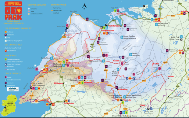
The Burren Way meanders for 100km, with additional spurs to towns and villages, with Irelands most famous natural attraction- the Cliffs of Moher forming a southern gateway.

Screen Shot 2017-04-18 at 06.46.39

Setting off from Liscannor I planned to take 4 days to cover the route, ending my ramble in Tubber to take in the splendours of Mullaghmore in the Burren National Park. The first leg was 20km to Doolin and the long straight road headed west past field walls made of the flag stones the area is renown for. The movements of sea creatures millions of years ago are etched into the surface of these slices of time as a record of the oldest journeys on earth and the flags are used as hardwearing floors and heavy roofing.

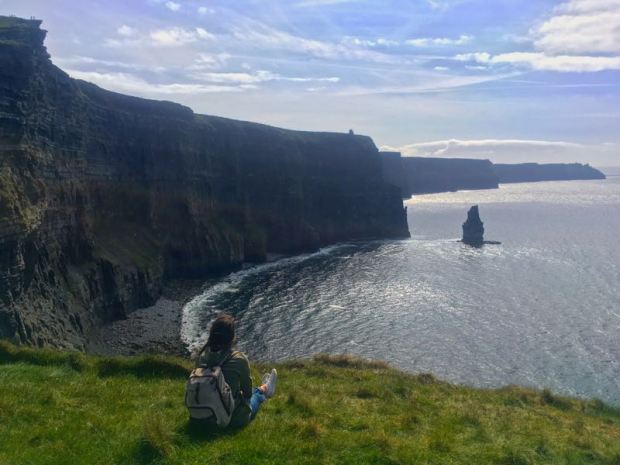
300 million years ago the Burren was the floor of a tropical ocean, and the Cliffs of Moher were formed by layers of shale and sandstone building up and up in a vast river delta. As I climbed up from the coast past the last farm with its brimming car park supplying a modern cash crop I was joined by others on the way towards the tower at Hags head.

IMG_3603

There is a cliff face here that supposedly resembles a womans head where, the story goes, the hag Mal crashed into the cliff while pursuing her love interest, Cu Chulainn, who stepped across the sea stacks to escape her advances.

As we reached the tower the dramatic views opened up and the number of people drawn in to the area by the successful marketing of the Wild Atlantic Way since my last visit became apparent.

Moving on along the cliff path I past a Liscannor flag quarry producing the stone for the nearby walls and a public gallery of miniature sea stacks in a dramatic setting.

IMG_3629

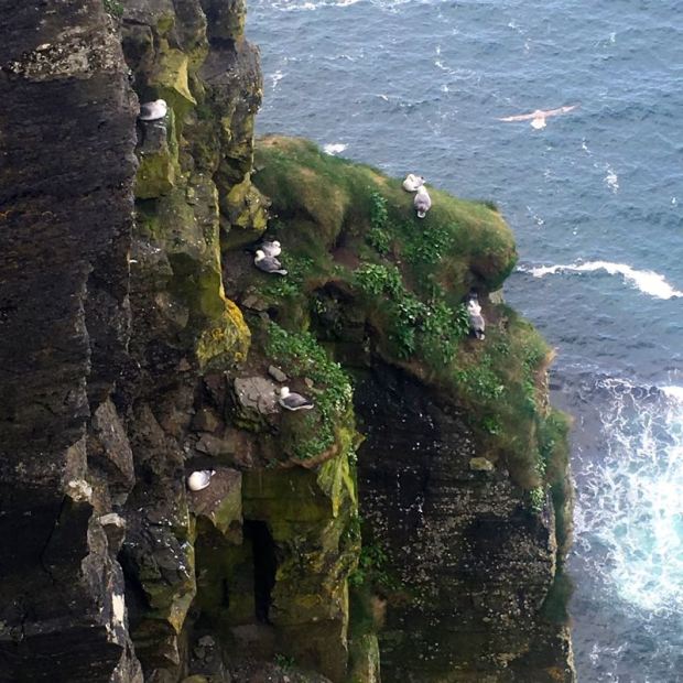
The nesting seabirds were a constant distraction as they wheeled around the cliff face with perfect timing and grace and I stopped to watch their acrobatics and spy on their domestic activities.

IMG_3645

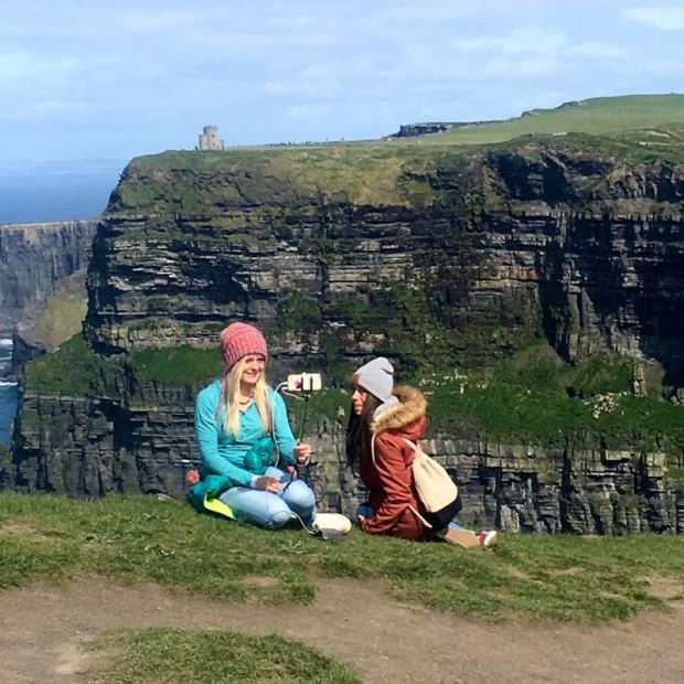
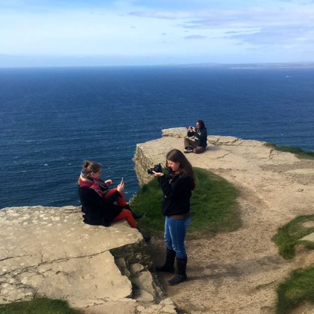
Living as I do in a very quiet rural pocket and not getting out among mass humanity much, I found the antics of my species nearly as fascinating and spent a while photographing them photographing themselves. The ‘selfie’ phenomena .

IMG_3654IMG_3704IMG_3685IMG_3674IMG_3720IMG_3711

My favourite selfie photos were many years ago and accidental. A friend working in a photo lab had developed a roll of film taken on a tour of Europe’s top tourist destinations and was puzzled to see pictures of only bits of head and ear and crowds of people before realising that the hapless photographer had held the camera the wrong way round.

At the highest point in the cliffs, near the car and coach park and the “visitor experience”, is a tower built as a viewing platform in 1835 by local landowner, M.P., and descendant of Brien Boru, Sir Cornelius O’Brien. He once fell very ill in London and asked for some water to be sent over from St Bridgits well near the Way at Liscannor which he attributed to his recovery and payed for the construction of a well house, still much used today.

DSC_0053

700ft below me the atlantic rollers crashed onto the base of the cliffs and it would certainly be the spot from which to watch the worlds top big wave surfers try their luck riding Aileen, the 50+ft wave that can form here.

IMG_3723

It was a beautiful sunny day and I certainly didn’t begrudge sharing the natural splendours with so many people but by the time I had had my lunch around O’Briens tower I was ready to escape the hordes and carry on towards Doolin another 8km away.

Although Doolin is another of Ireland’s tourist hot spots and the coastal path goes all the way there this was definitely a quieter section, allowing more space for contemplation of the surroundings and take notice of the birdsong and wildflowers.

IMG_3717

IMG_3740

In a couple of places streams tumbling over the cliff edge were being blown back up on to the top creating a kind of natural perpetual motion of water as it tried to reach the sea.

IMG_3738

The Aran islands were visible to the north west, strung out in a line towards the mountains of Connemara and as I approached Doolin the first sight of the rounded grey hills of limestone made me keen to get amongst them.

IMG_3742

The path descended to near sea level and continued along the shore past strange diamond shaped rock formations and blowholes to the colourful shops and pubs at Fisherstreet where a ferry goes to the nearest Aran island, Inisheer, and people come to swim with Dusty, a dolphin that likes to hang out with humans.

IMG_3749

IMG_3752

Back on tarmac I made my way past the 16th century Doonagore tower house on the outskirts of Doolin to my bed for the night at a friends house.

IMG_3750

The next days stage was a 30+km hike, mostly on ancient green roads, into the Burren uplands where I planned to meet Sally and the Trusty Tranny camper van at the top of Corkscrew Hill above Ballyvaughan.

But first I had to make my way along about 10km of country roads through a sometimes gorsey and rushy landscape under a leaden sky, which coupled with a number of neglected and abandoned homesteads made for a slightly melancholic atmosphere.

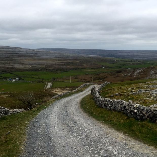
Climbing up the backroad from Ballylacken castle at about 200m the tarmac gave way to track and the green road leading over the shoulder of the Burren’s highest hill, Slieve Elva, began.

IMG_3778

There was a stiff wind and from the look of the contorted vegetation there usually is. The lack of shelter on this exposed hillside must have made it a tough place to live and the remnants of stone cottages told their own tales of hardship.

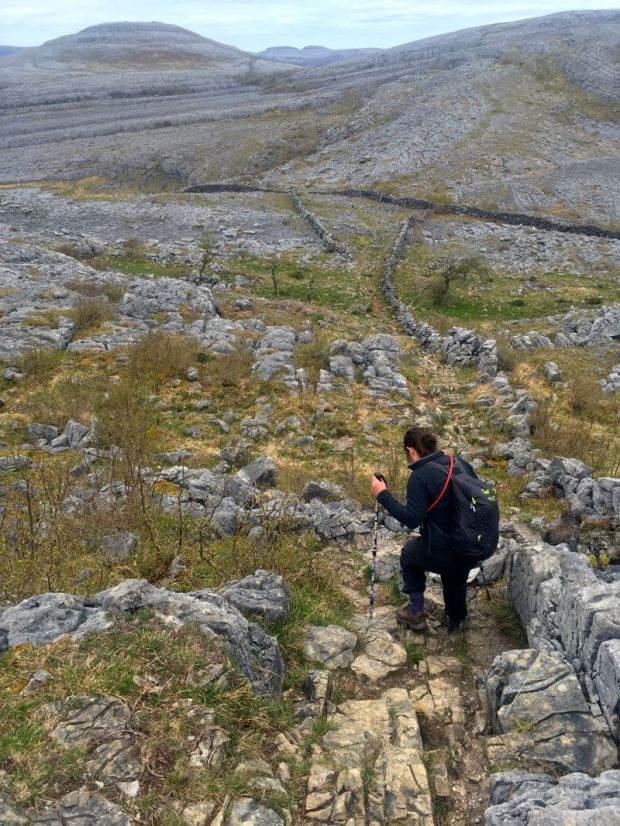
Finally moving beyond the sandstone and shale and onto the limestone the track became stripped for awhile as it revealed the underlying formation of clints and grykes in the adjoining fields(?).

After roughly 8km of the high plateau I was led down into the Caher valley where the only surface river in the Burren to make it to the sea runs down to the beach at Fanore. The porosity of the limestone means that water easily eats it’s way through to create a network of underground caves and tunnels, another feature of this area that makes it special and contributed to the famous saying by one of Cromwell’s generals that ” it is a country where there is not enough water to drown a man, wood enough to hang one, nor earth enough to bury them”.

IMG_3809

Up and over the long southern plateau of Gleninagh Mountain on another green road and I landed back on the tarmac of a cul de sac backroad running down the Feenagh valley.

IMG_3813

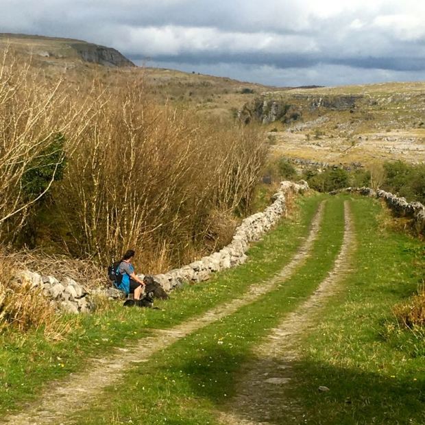
A couple of kms later I was off up another ancient green road, lined at first by another section of river, then hazel scrubland,and winding past megalithic tombs, ring forts and enclosures with fantastical views of the surreal landscape surrounding me, to eventually, and suddenly, leave the limestone and find myself atop an upland of turf bog and forestry.

The wind was still blowing and now as evening approached it was cold so, getting to our meeting point early after 30km, I was happy enough to do an extra couple of km down Corkscrew hill to the warm embrace of the Gregan House hotel bar and a pint of Murphys while I awaited the arrival of Sally in our mobile kitchen and bedroom.

We woke the next morning to a nasty drizzle blowing in on a horizontal wind and with only about 20km to do that day we decided to trust the forecast that the rain would clear in a couple of hours and take a quick spin to Kilfenora, location of The Burren Centre and   cathedral ruin.

IMG_3848

The Catholic cathedral, part of which is used by the church of Ireland has a glass roofed transept, built to protect some ancient high crosses and there are other fine carvings.

Back on track we had a fair bit of road walking to do but it was pleasurable hiking along tiny backroads through a varied landscape dotted with megalithic and early christian sites, including an impressive baptismal font in the ruins of Kilcorney church.

Crossing the high ground above Carron it started to drizzle again and we ducked into Cassidy’s bar for a drink in the dry before carrying on along the eastern shore of the turlough, or seasonal lake. These loughs are another unique feature of the area, with the groundwater beneath the limestone rising and falling with the water table and creating what can be huge areas of flooding in the winter and rich grazing land in the summer.

IMG_3890

The hazel woods were thick alongside the road and rich with wood anemone, ferns, sorrel and mosses and lichens. All of which make good feeding for the herds of feral goats that keep the vegetation in a bonsai condition and sometimes end up as burgers in Cassidy’s when the population is deemed in need of a cull.

IMG_3893DSCN1447

To end the days hike we had another green road stretch, leading us eastwards into the National Park. The sun was out and it was a truly beautiful path, a match for anywhere in the world in weather like that. A little over halfway along is a charming cottage in what has to be one of the finest locations in the country. (Teas available in the summer).

IMG_3904

Another good dinner and comfy bed courtesy of friends just off route and we were ready and able for our last day on the trail. I had walked nearly all of the Burren Way previously but not continuously and I had never walked one section of the days route so it felt like the highpoint of the Way to be climbing the iconic terraces of Mullaghmore and gazing at the virgin territory ahead.

We were a little early for the glories of the wildflowers for which the area is famous but we were lucky enough to have early purple orchids, wild garlic and gentians strewn around our feet that day.

IMG_3920

As we climbed above Lough Gealain to the summit at 200m the full effect of this special place became tangible. Feeling deeply connected to the surroundings and yet looking out onto a strange and foreign land, it’s no wonder the area has attracted “outsiders” for many years with the magnetic appeal the landscape holds.

IMG_3930

Clambering down the rough stony track on the north of Mullaghmore we turned to follow a wall below Slieve Roe down to a crossroads at Cooloorta where some of the pre mentioned “outsiders” have created homes for themselves.

IMG_3932IMG_3933

3km up the road we turned to come 3km back down on another green road through an area of limestone canyons studded with ash woods until, passing through a swing gate, we walked towards Lough Bunny on a long straight and flat track to the grassy farmland.

IMG_3958

Surrounded by green fields and grazing cows again, with the bare grey stone of the Burren behind us, it wasn’t long to the end of our journey where friends conveniently living right on the Way supplied tea and biscuits and a lift back to the Tranny.