MADEIRA:Monte to Camacha 11th December

MADEIRA: Quinta do Lorde to Machico 16th December

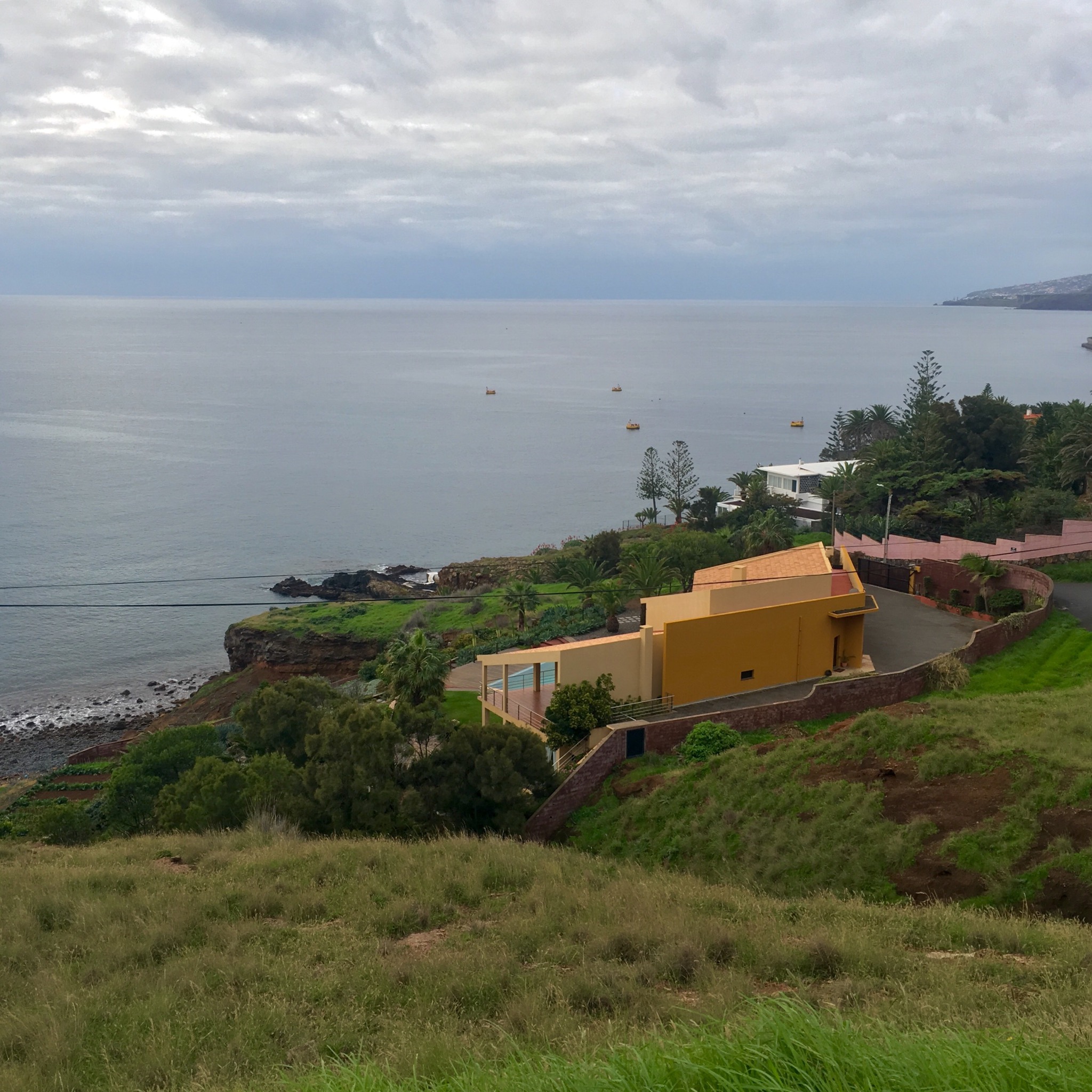
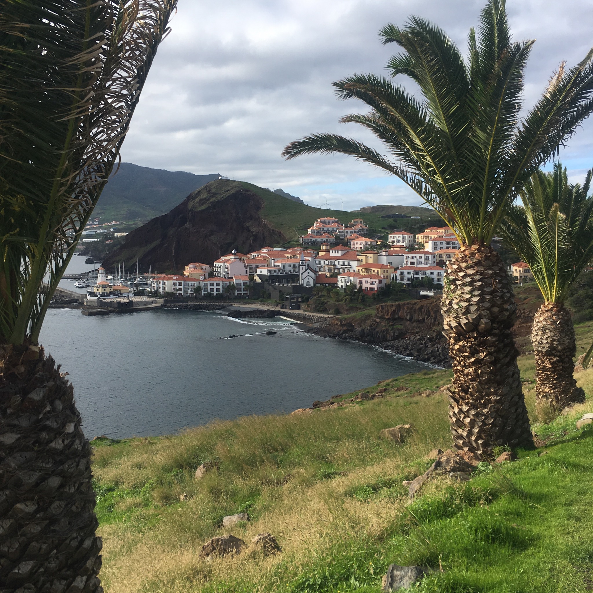
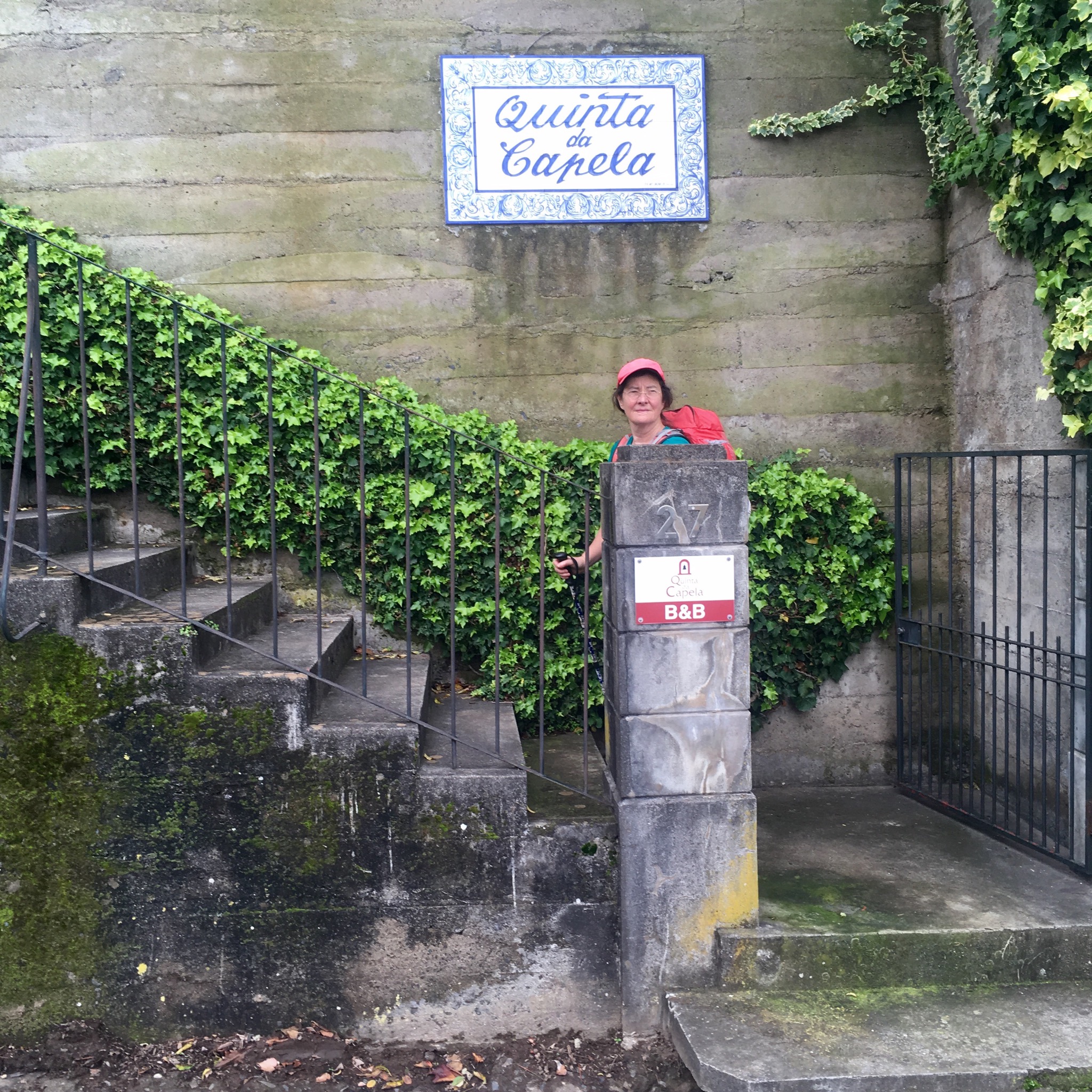
All that remained of our hiking holiday circuit was to return to Canical and then to continue onto the next seaside settlement 10km south, Machico, nestled between soaring headlands at the foot of a valley running high up into the verdant hills and right next to the airport.
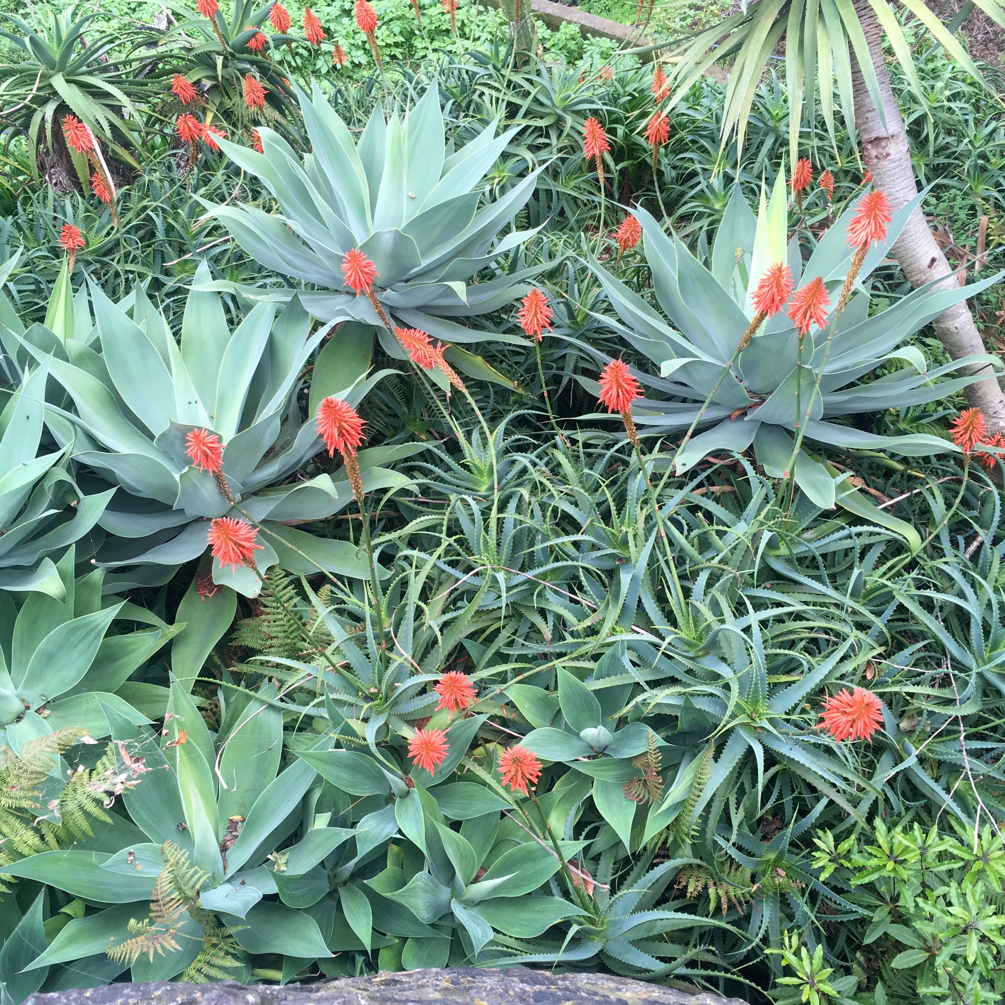
Checking out with the bemused looking hotel staff unused to guests shouldering packs to head off on foot we climbed up out of the Marie Celeste of a resort past the exotic plantings along the road.

IMG_2427-0.JPG

IMG_2443.JPG
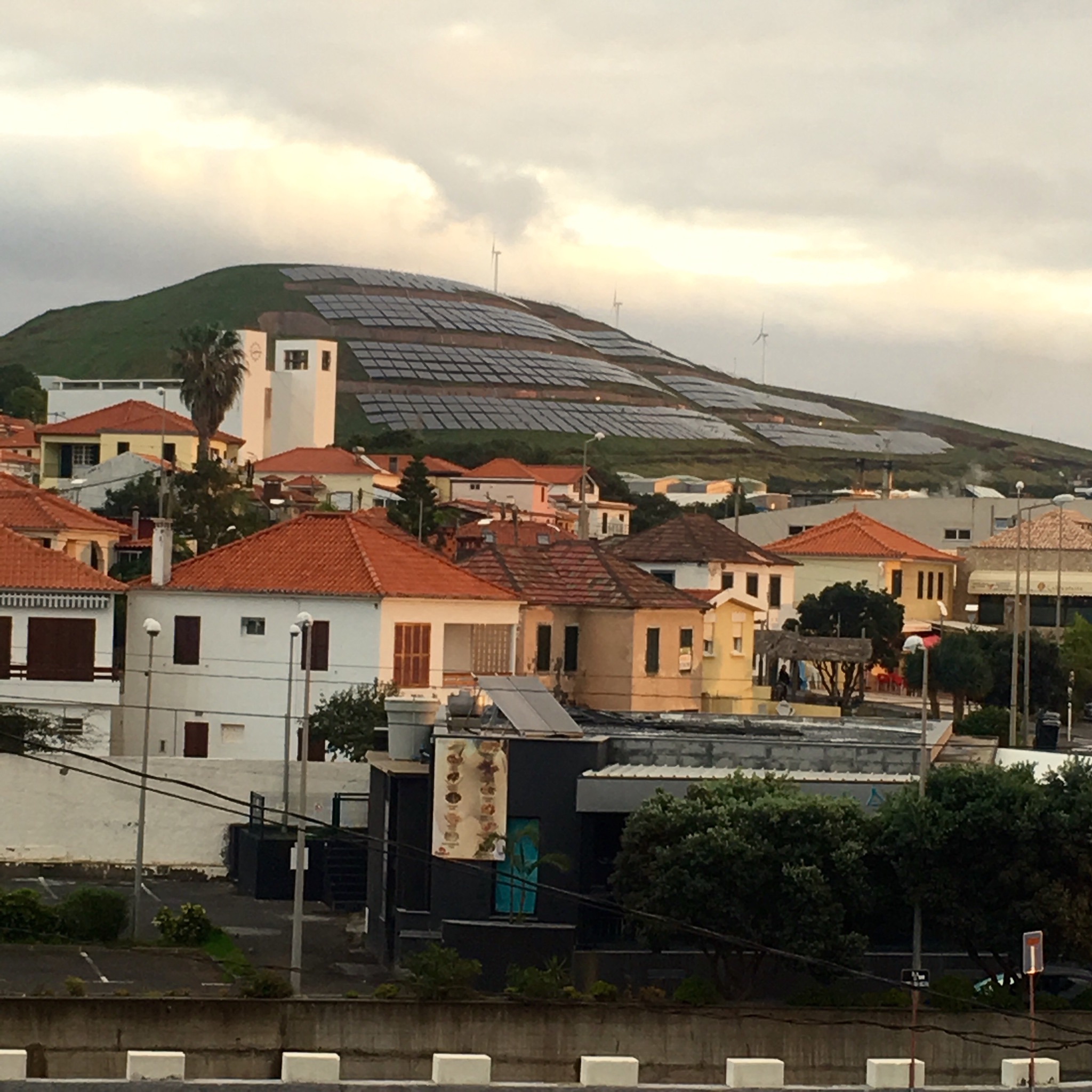
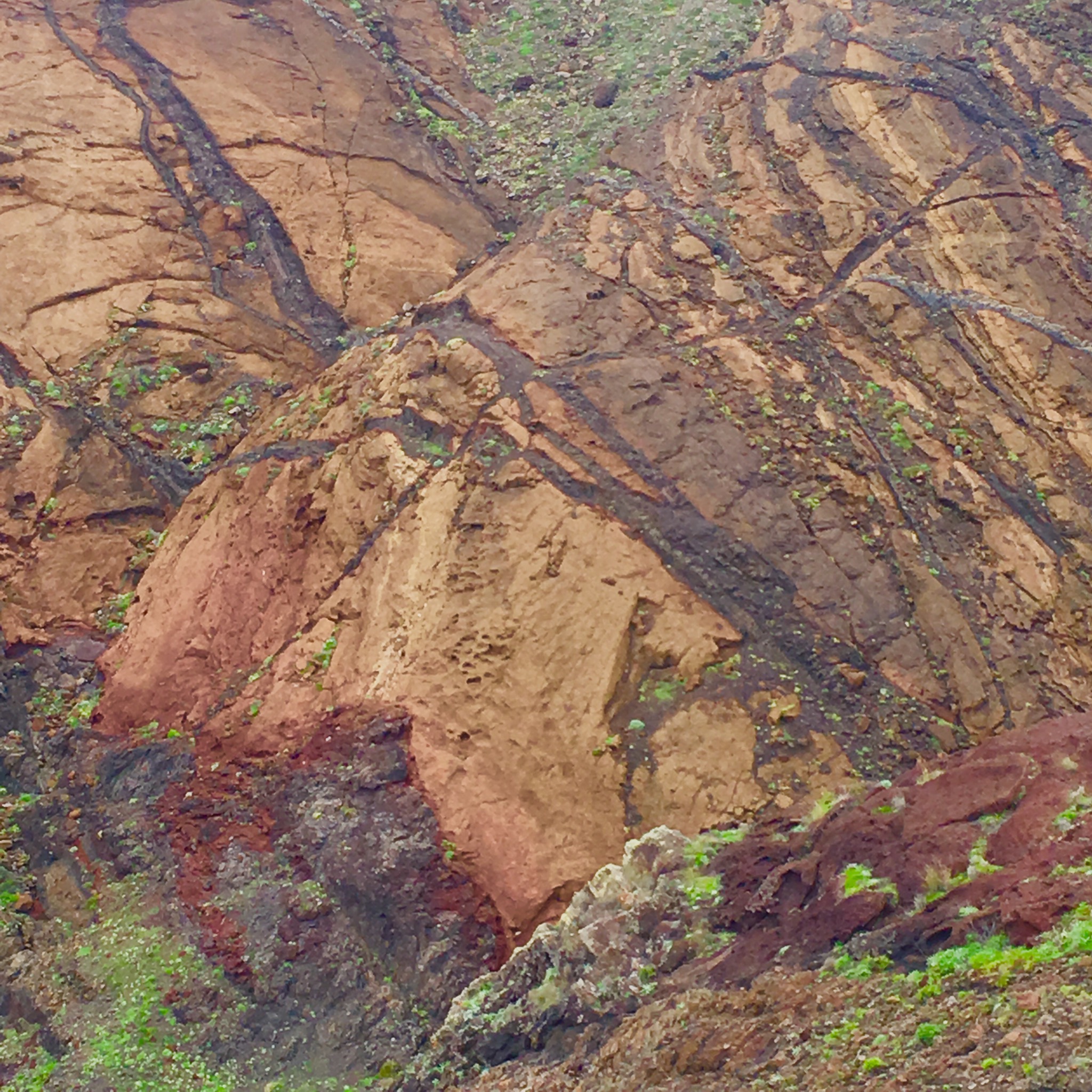
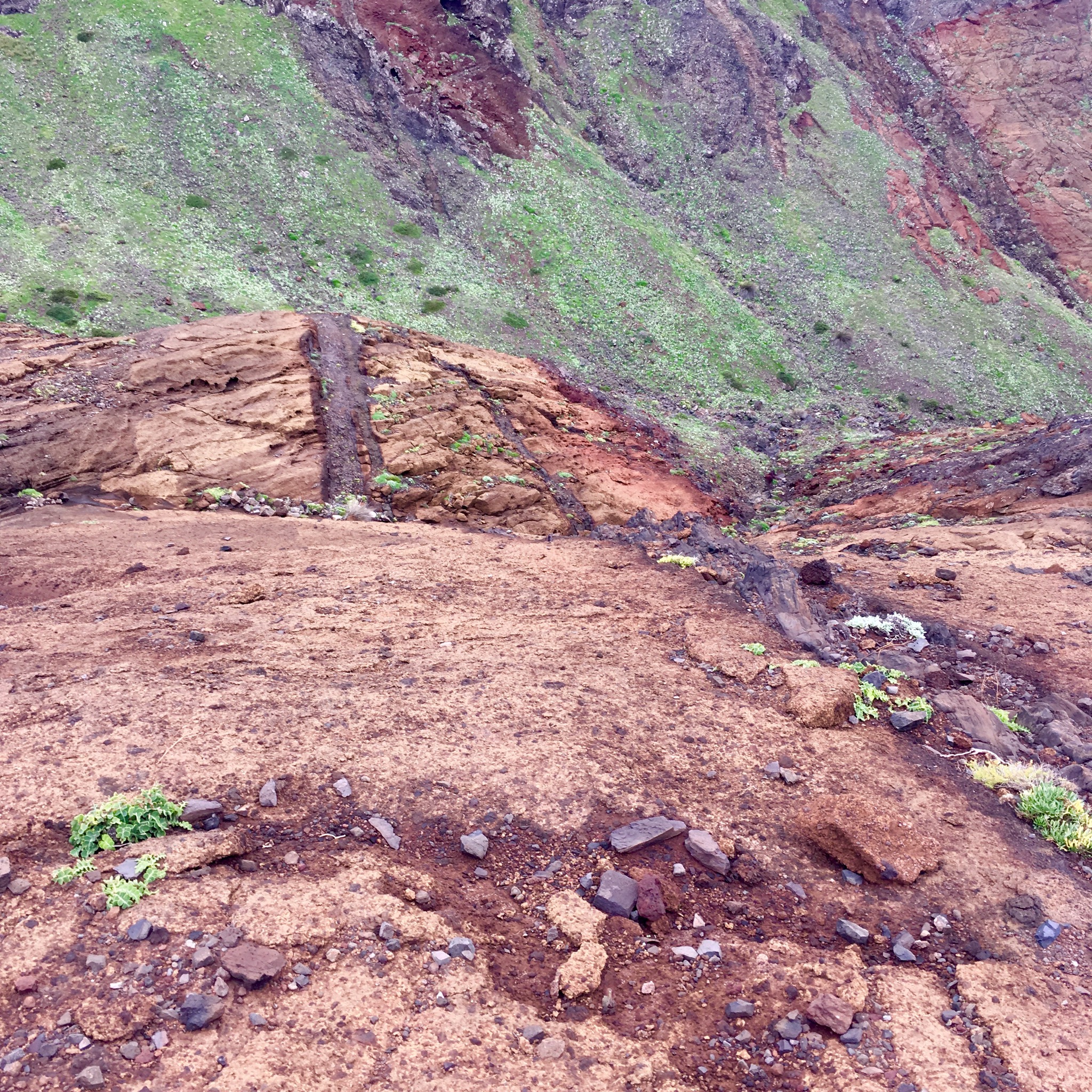
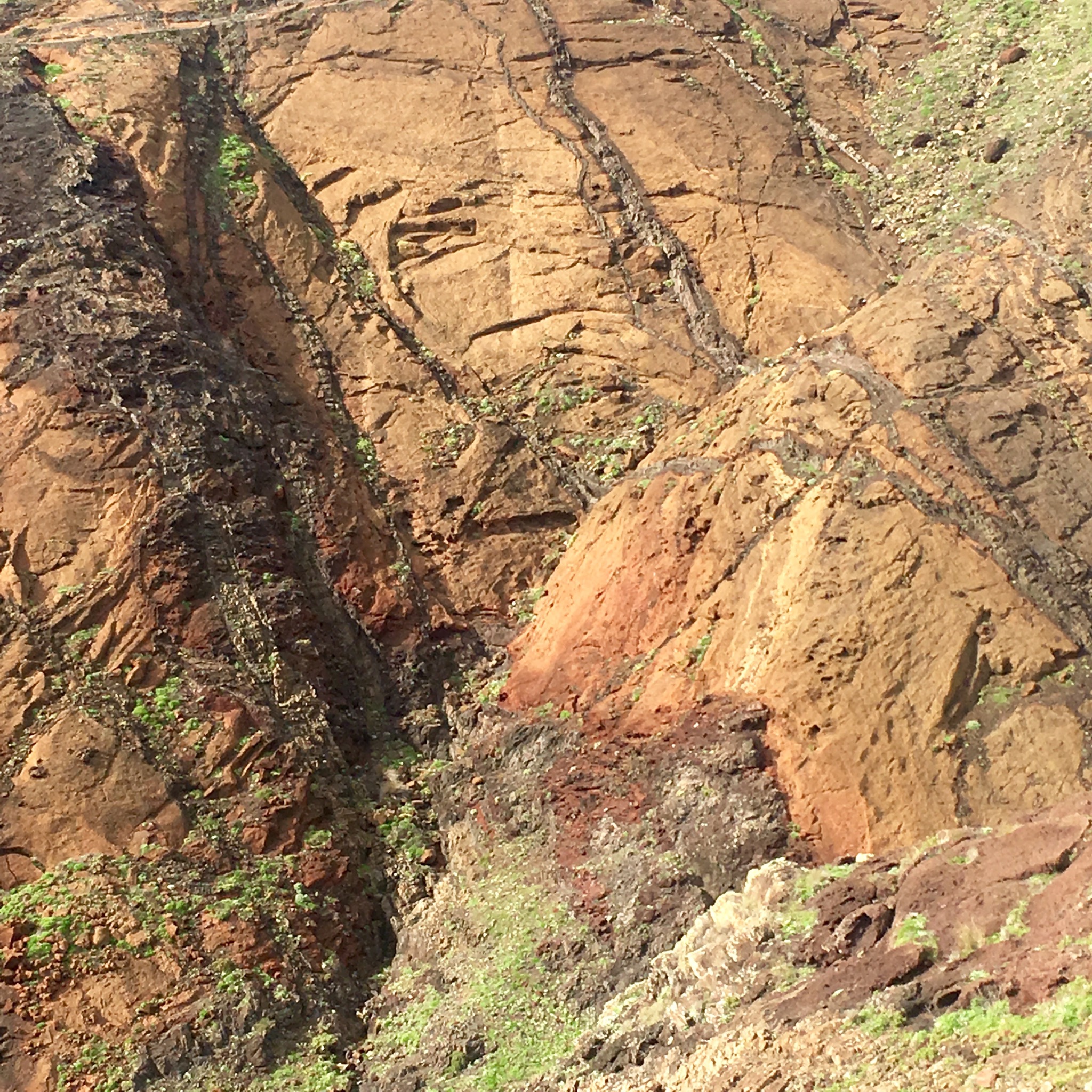
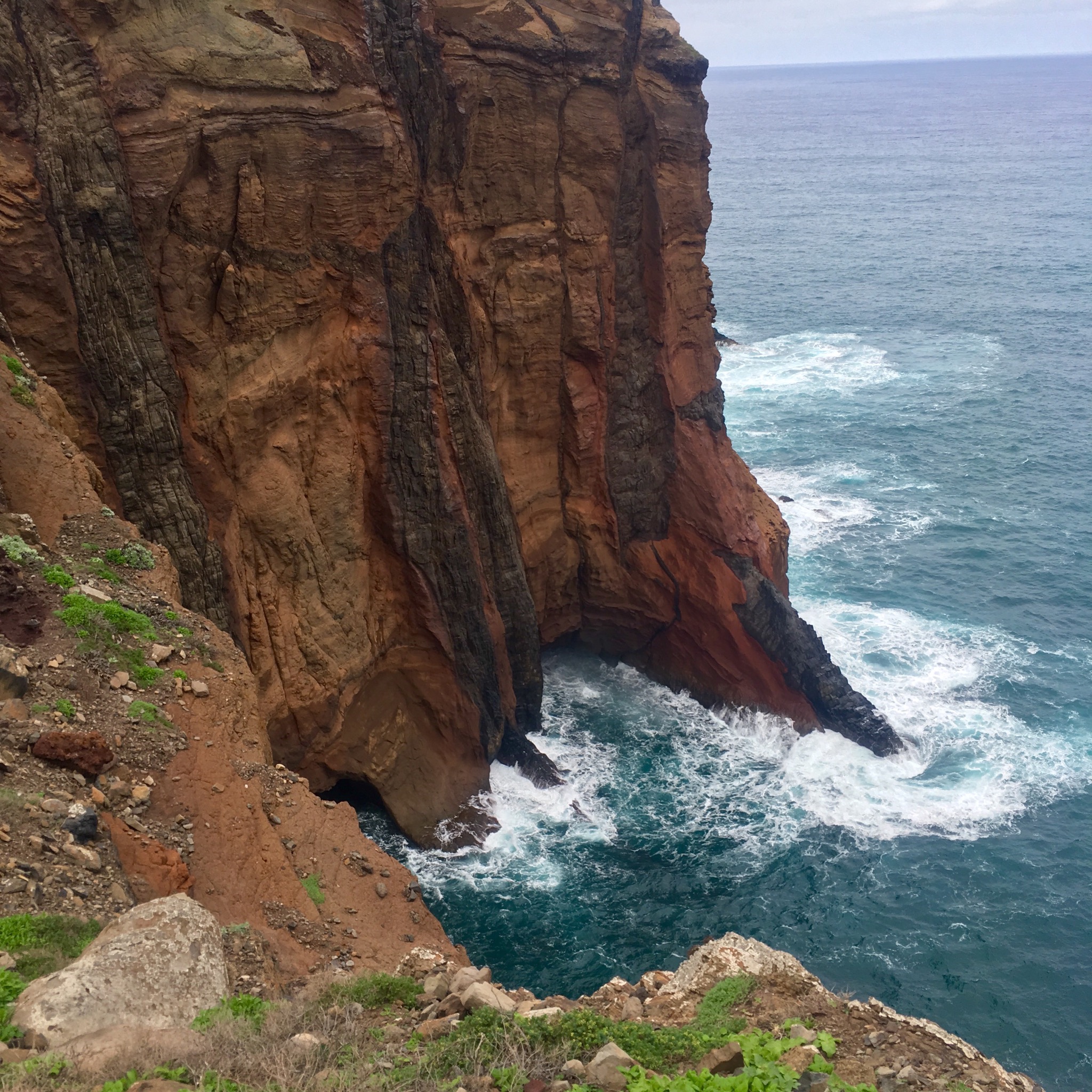
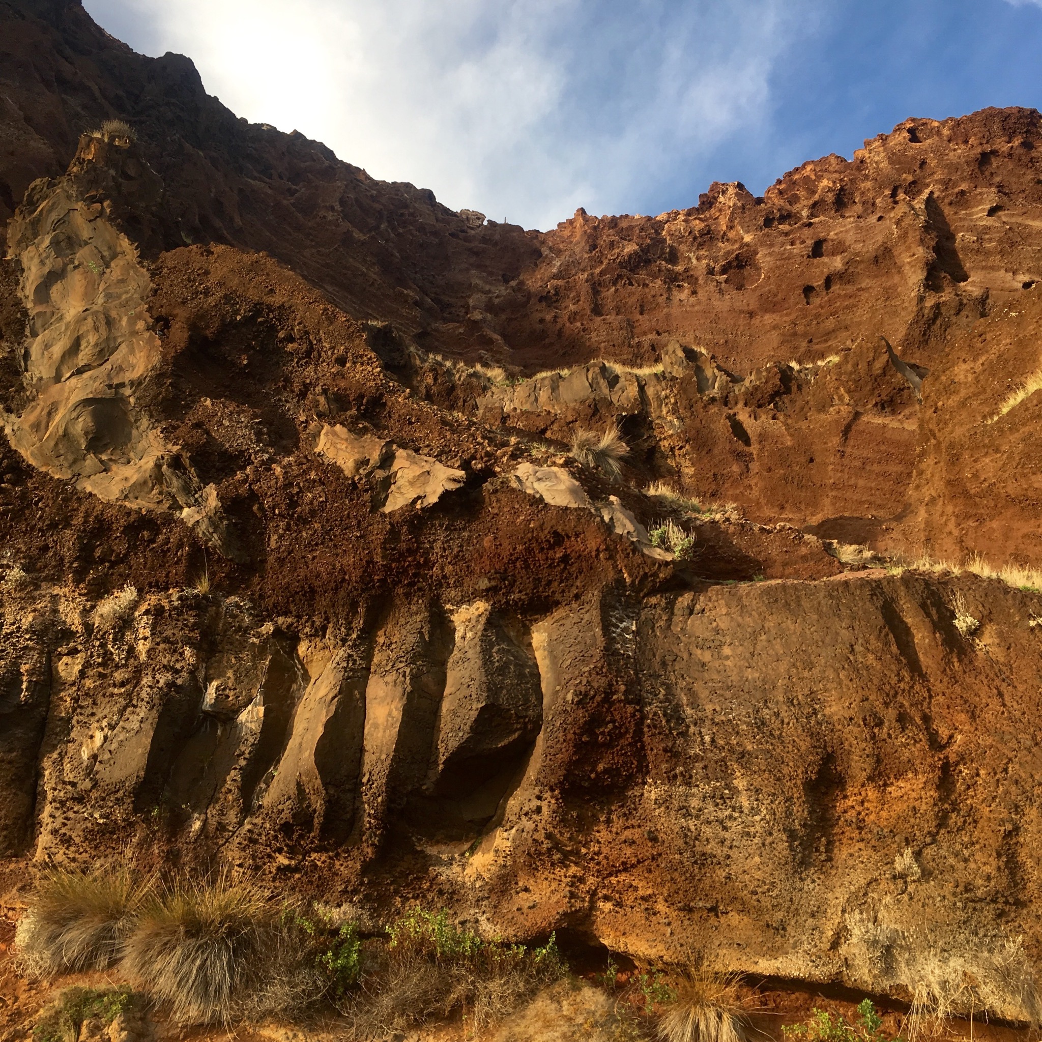
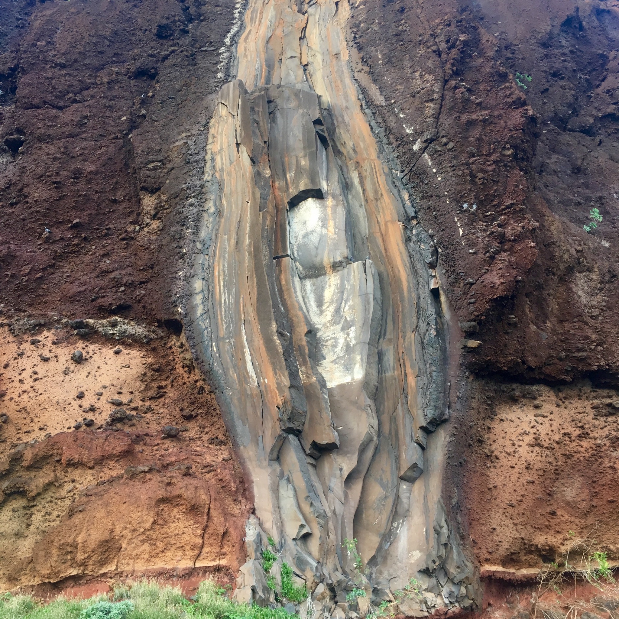
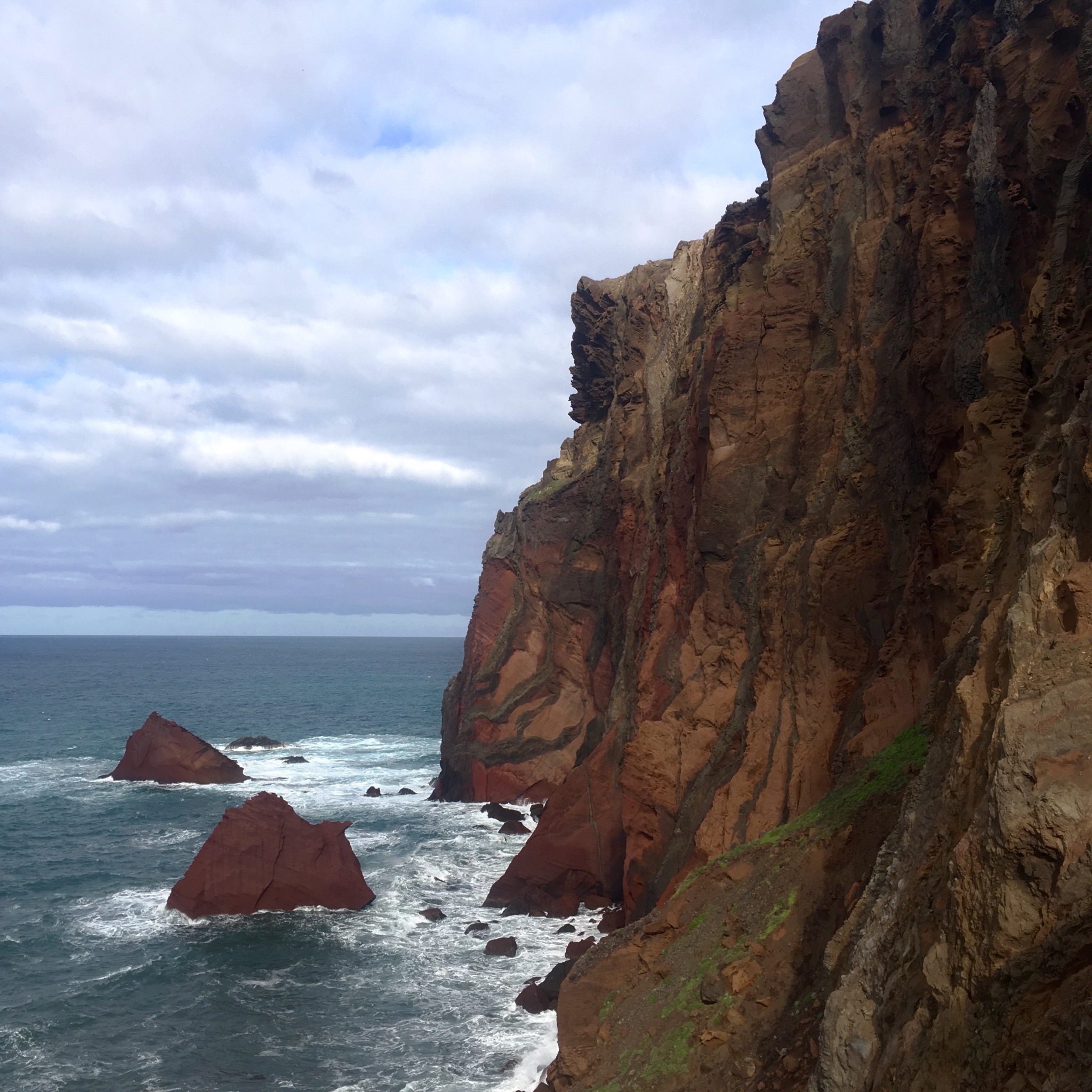
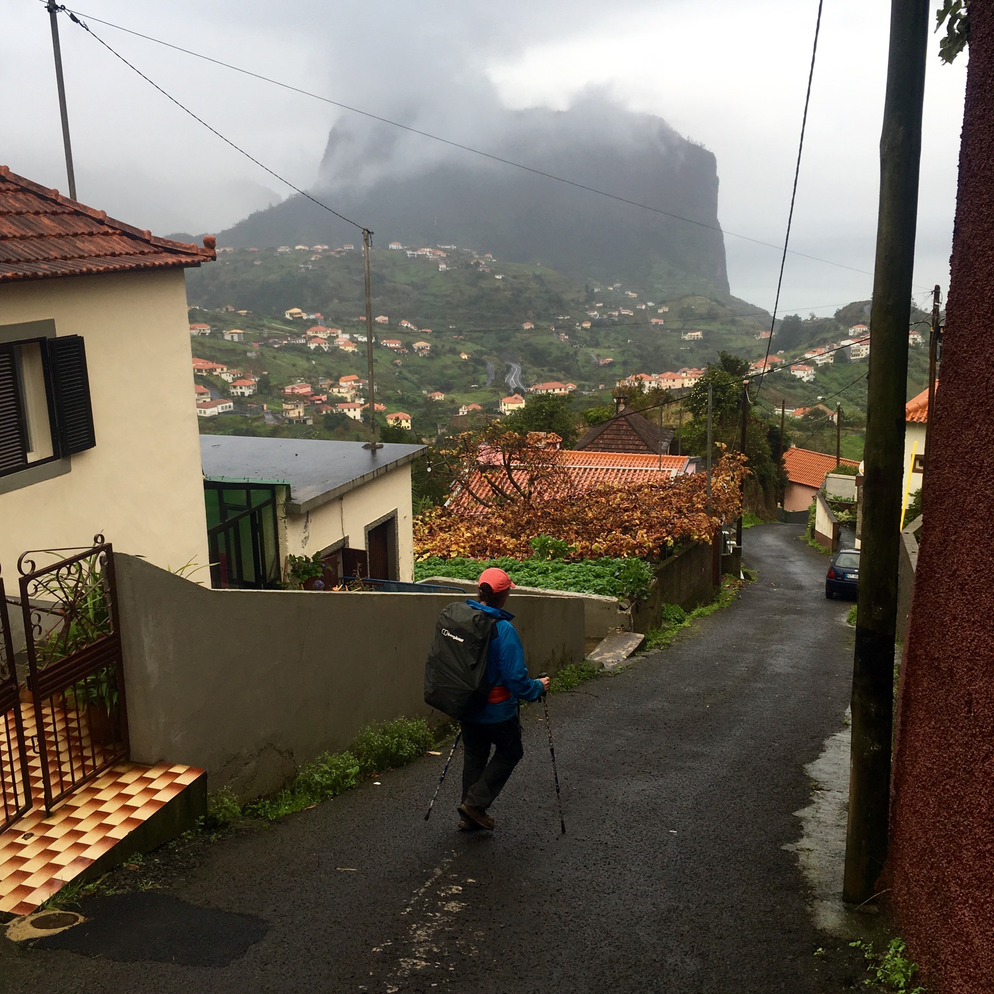
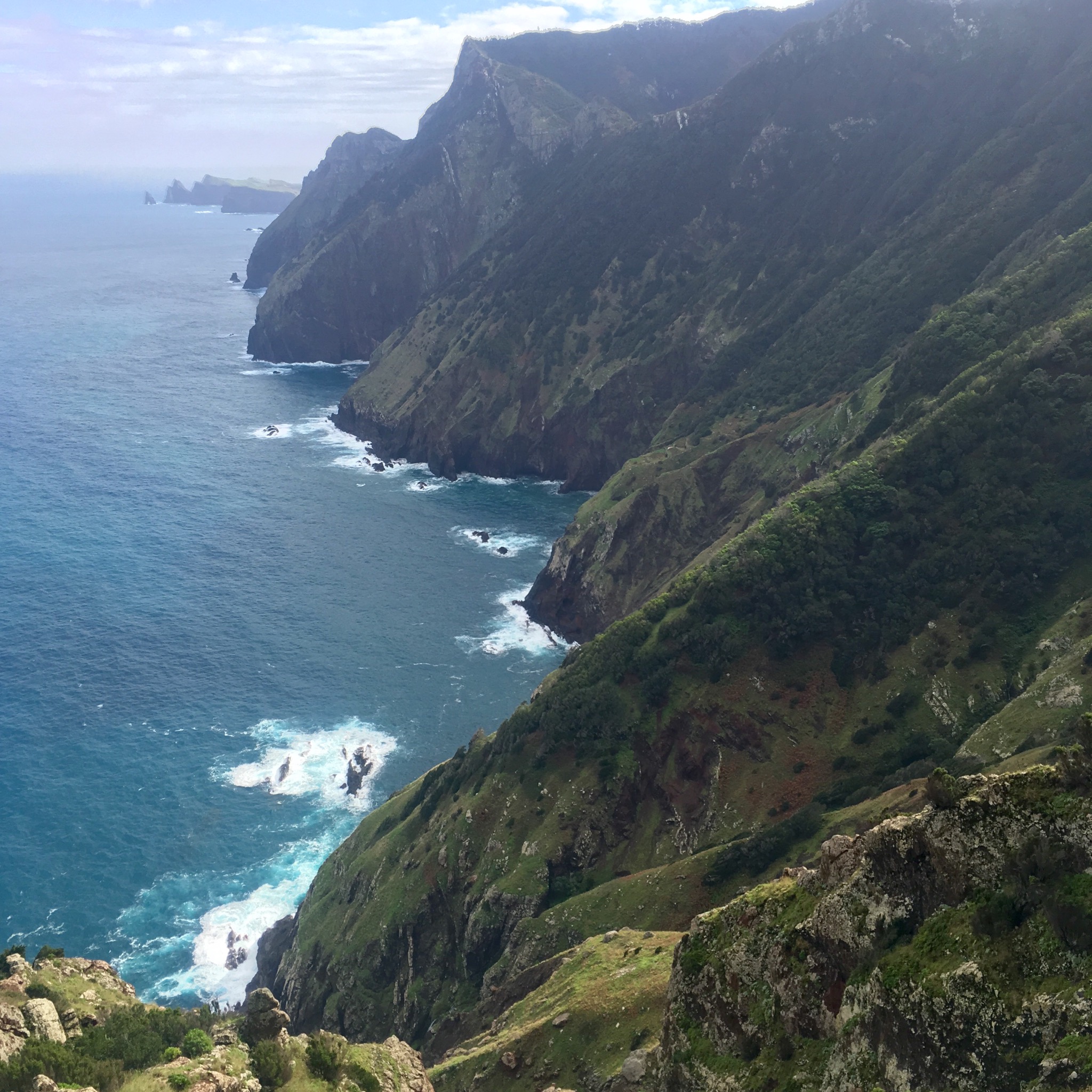
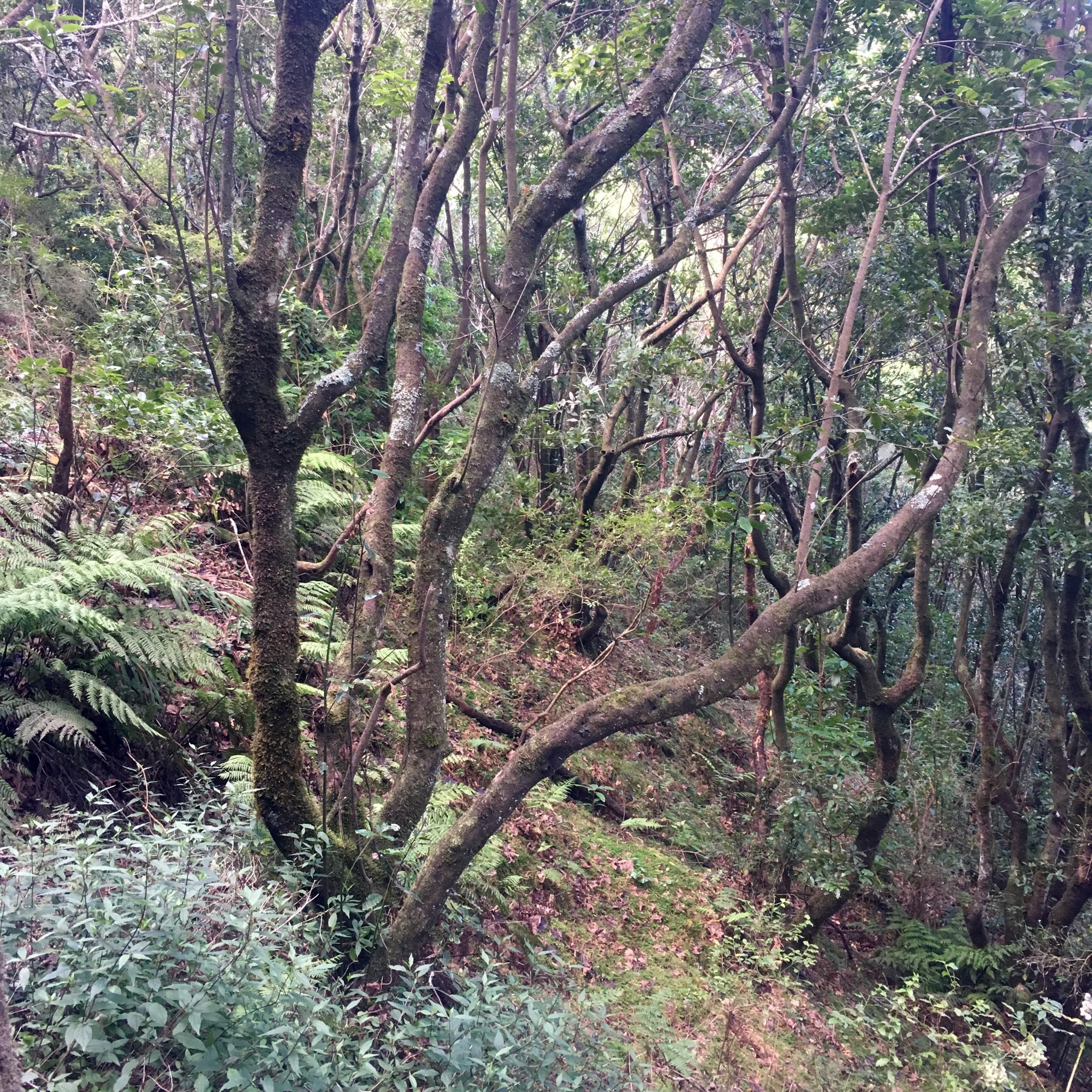
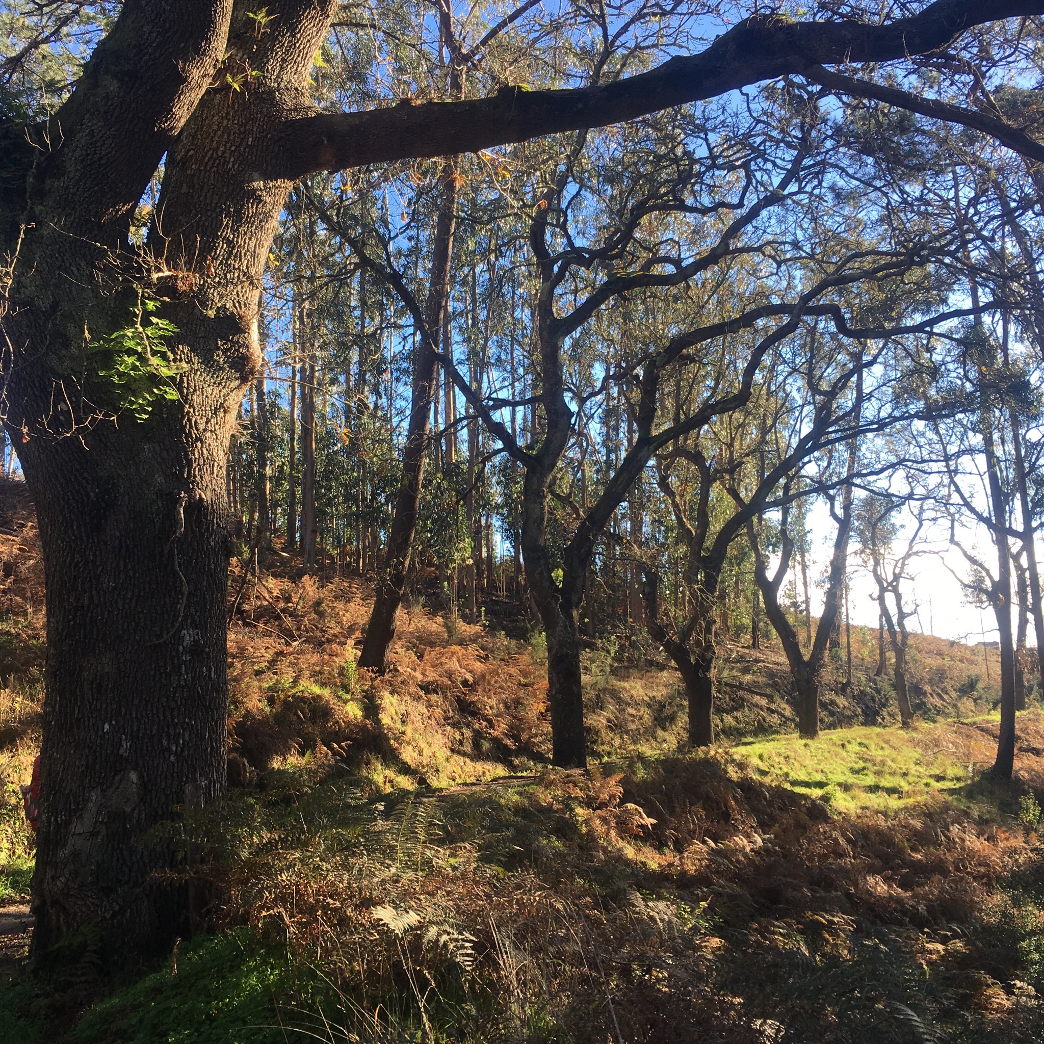
Soon back above Canical we could see the sheer looking hills we had to negotiate but couldn’t see how.

IMG_2444.JPG
We decided to stop at the modern whale museum, another development that, although worthy, seemed to be as much white elephant as whale.

IMG_2446.JPG
The vast space was devoid of visitors when we were there which was a pity as they told an interesting, if unappealing, story of the whaling industry that existed here from the mid 40’s right up until 1981. Sperm whales were the prey and there had been plenty of them butchered in these waters turned from turquoise to red.

IMG_2451.JPG
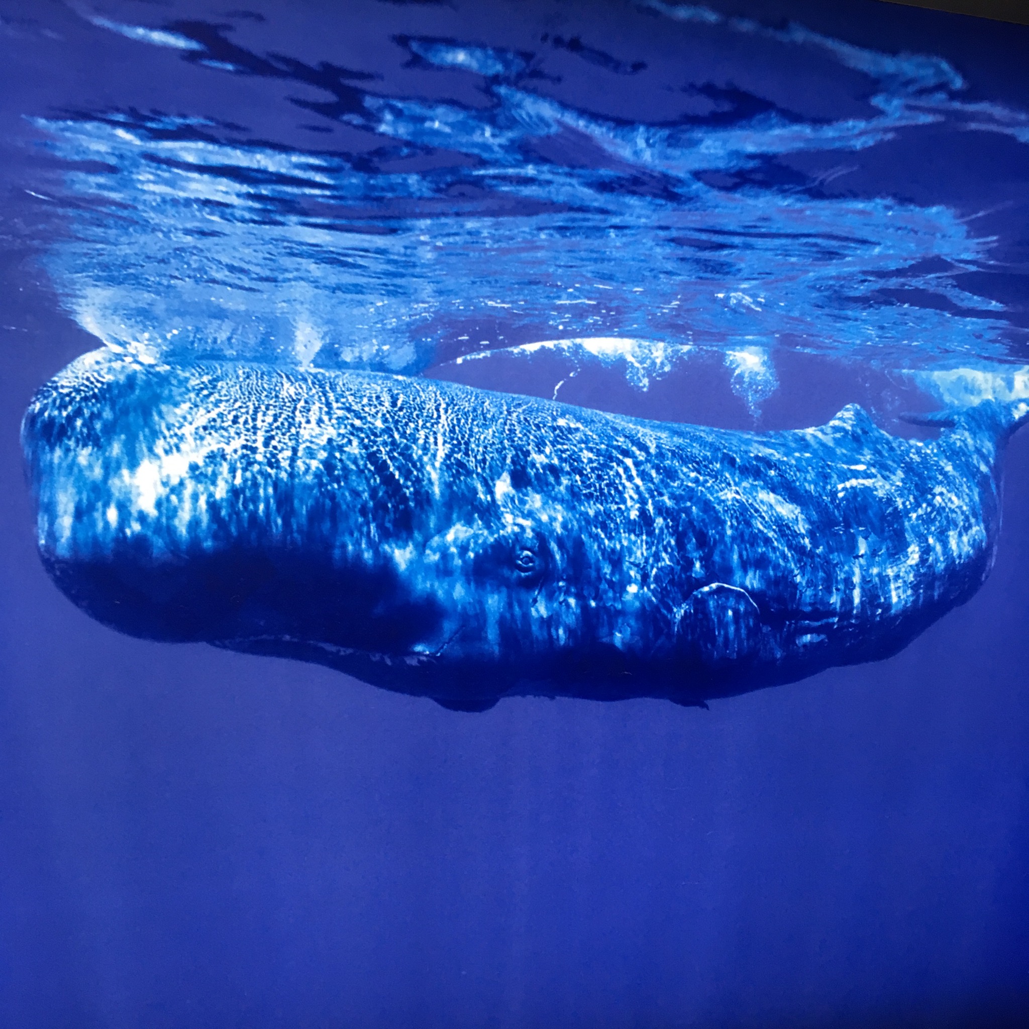
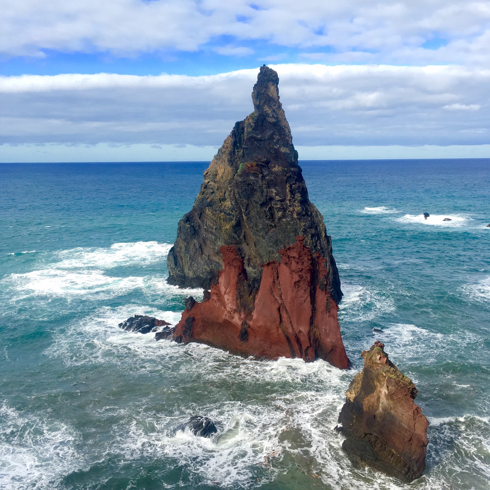
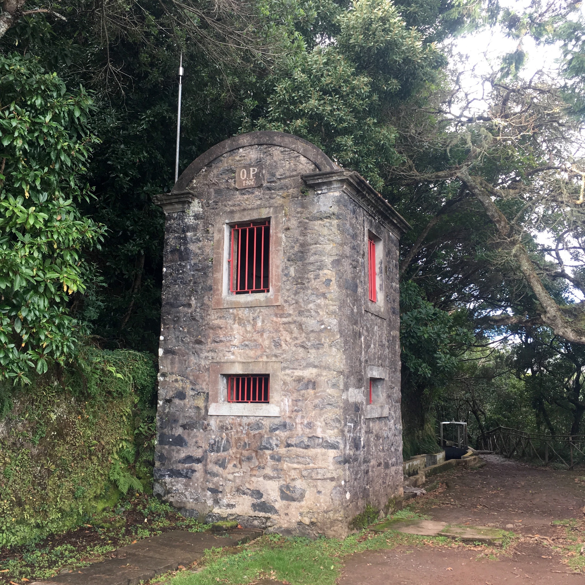
It turned out that the little buildings we had seen on prominent headlands were not the coastguard stations we had imagined saving lives but whale lookout posts devoted to taking lives.
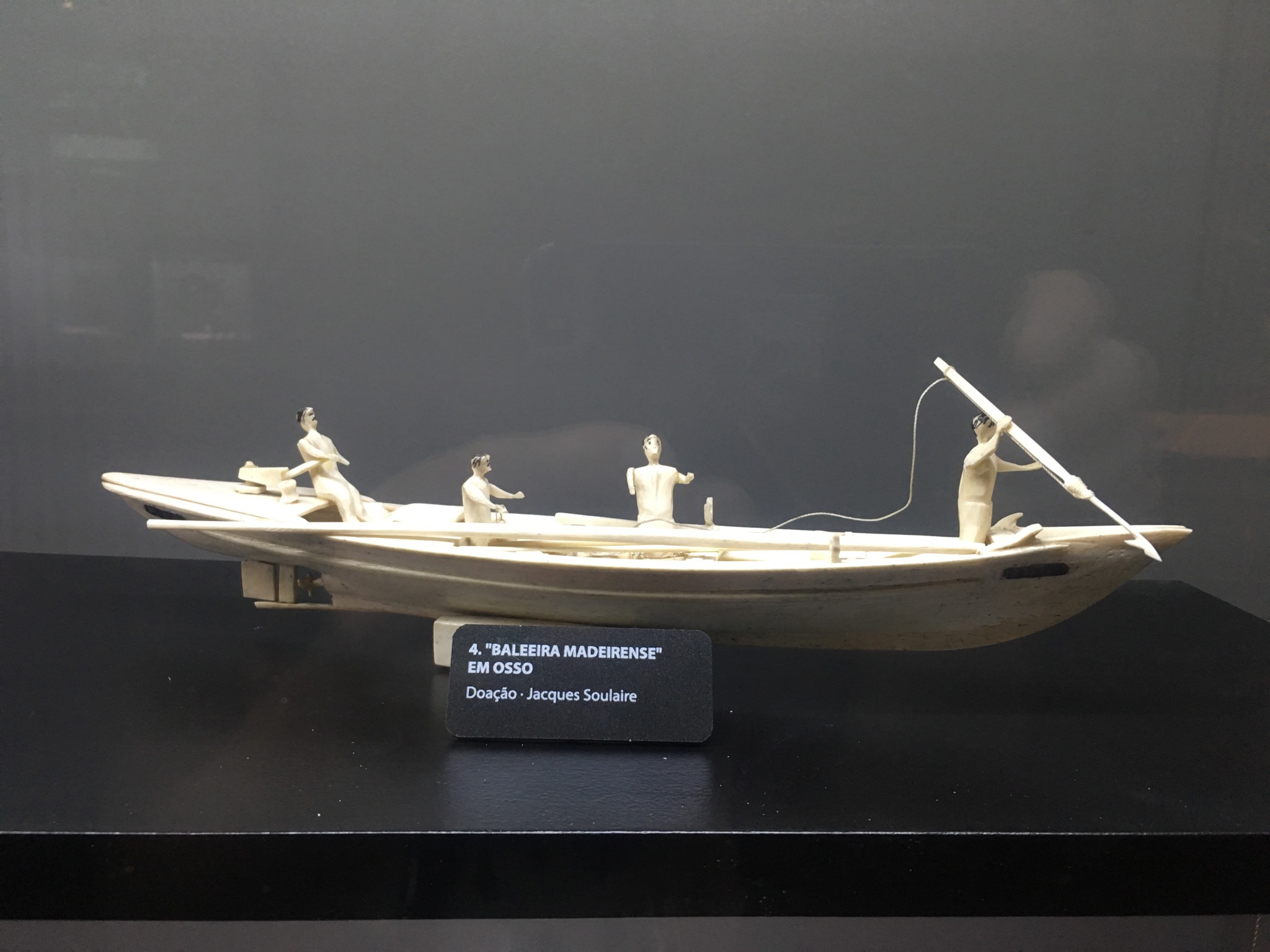
Still, nothing of the animal was wasted and a little earner on the side for the whalers was the carving of their bones into implements and souvenirs. One example on display was an ironic carving of a whaling boat complete with harpoonist.

IMG_2452.JPG
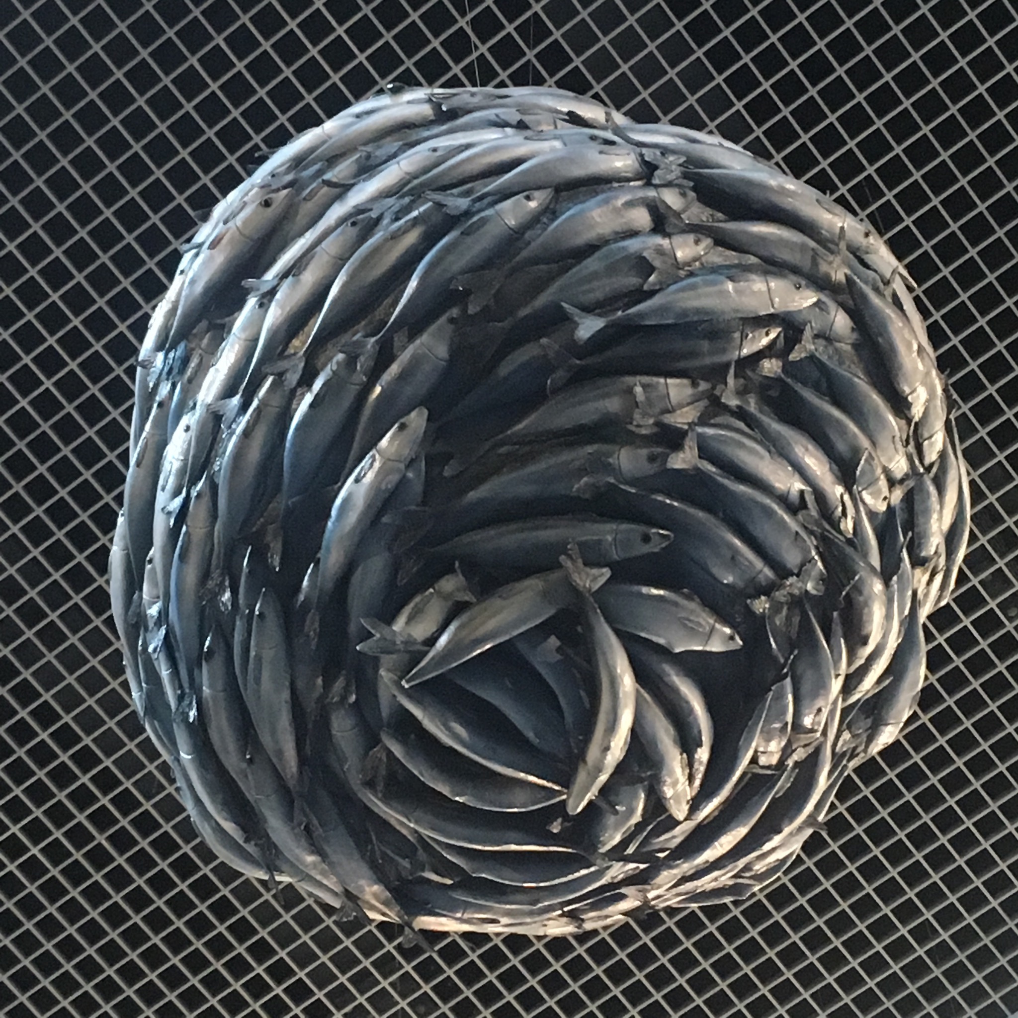
Thankfully after the bloody whaling exhibits there was another large space devoted to general conservation of whales and their natural world. I liked the balls of sardines.

IMG_2454.JPG
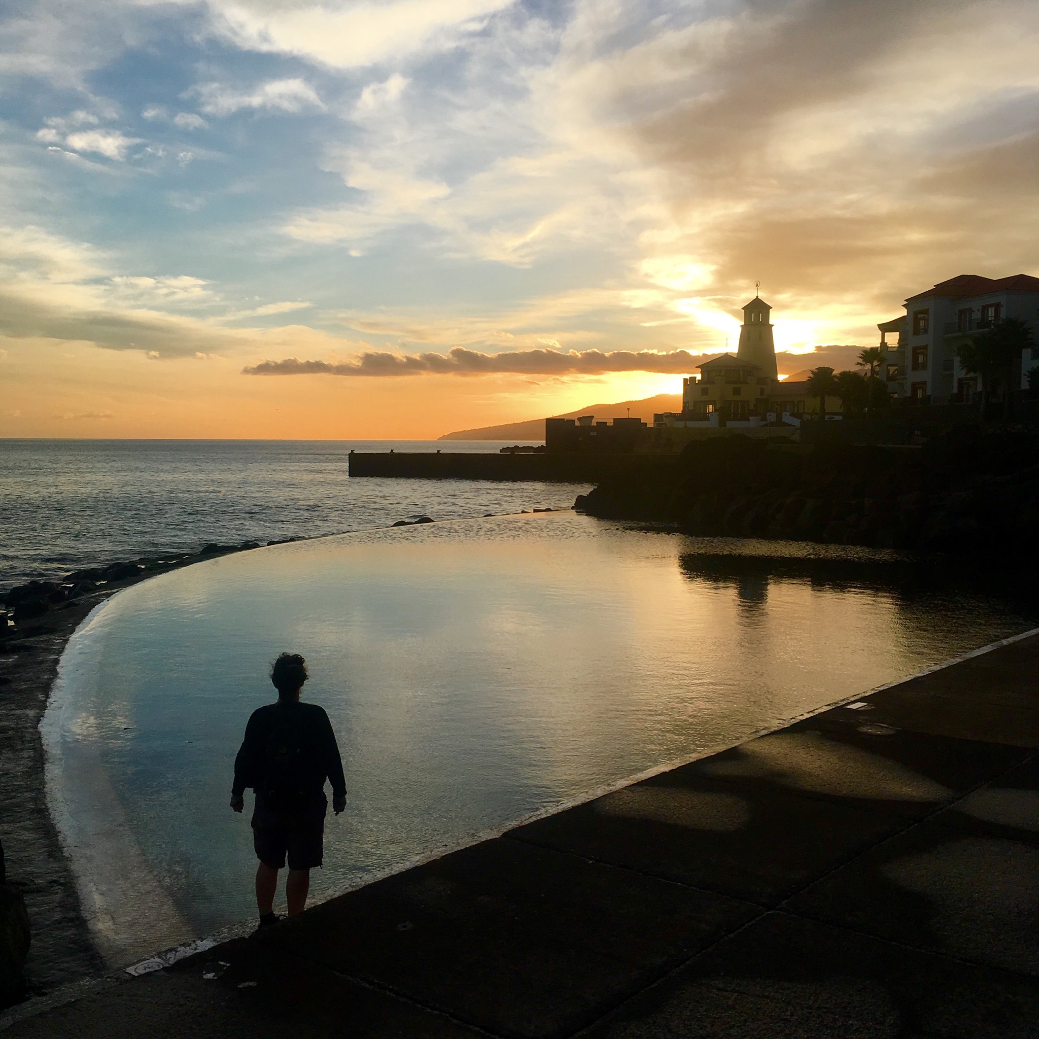
The museum sat at the end of the seafront promenade that led along the Ribeira do Natal beach to the start of the old path that would take us over the hills to Machico.

IMG_2455.JPG
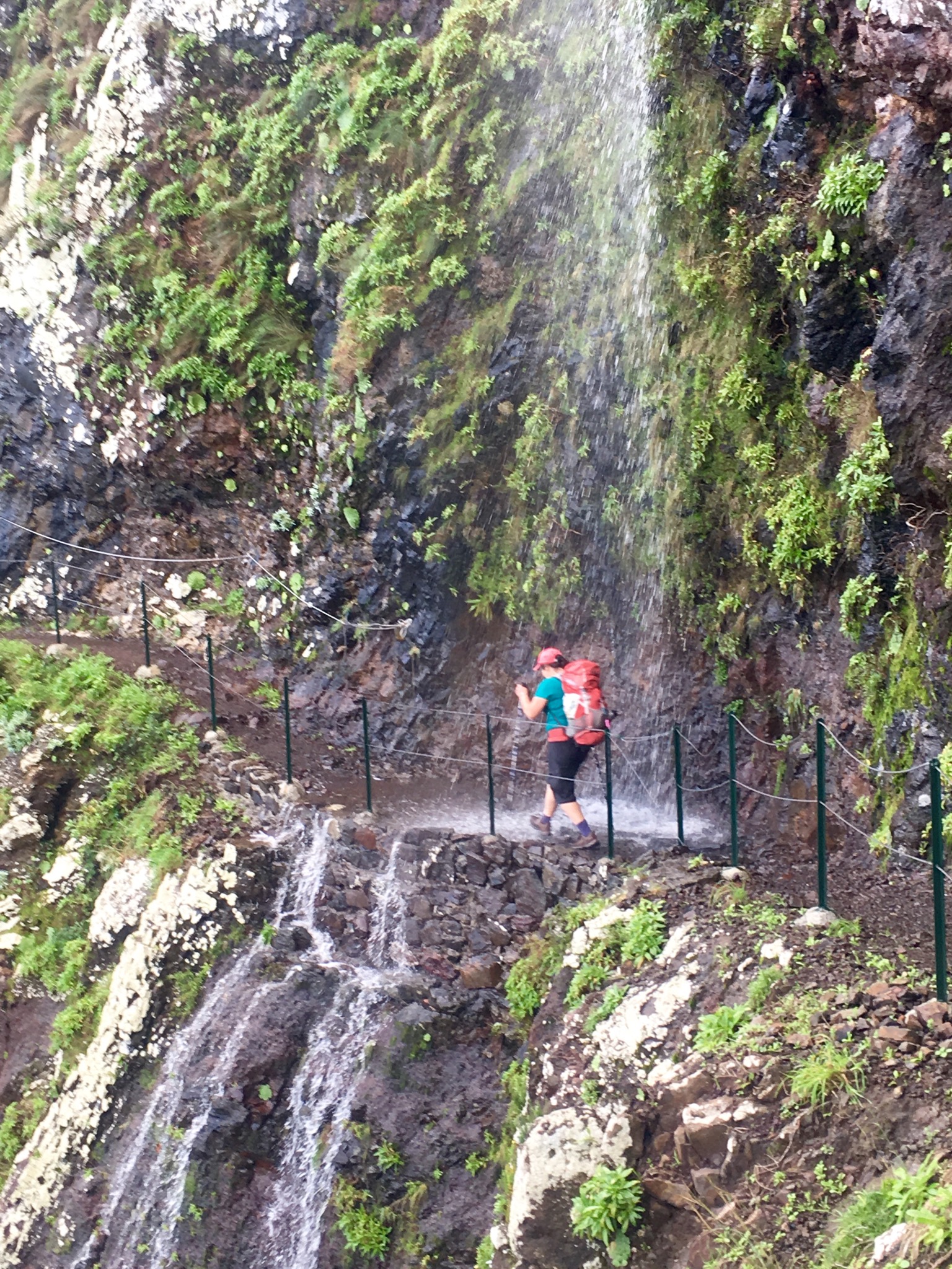
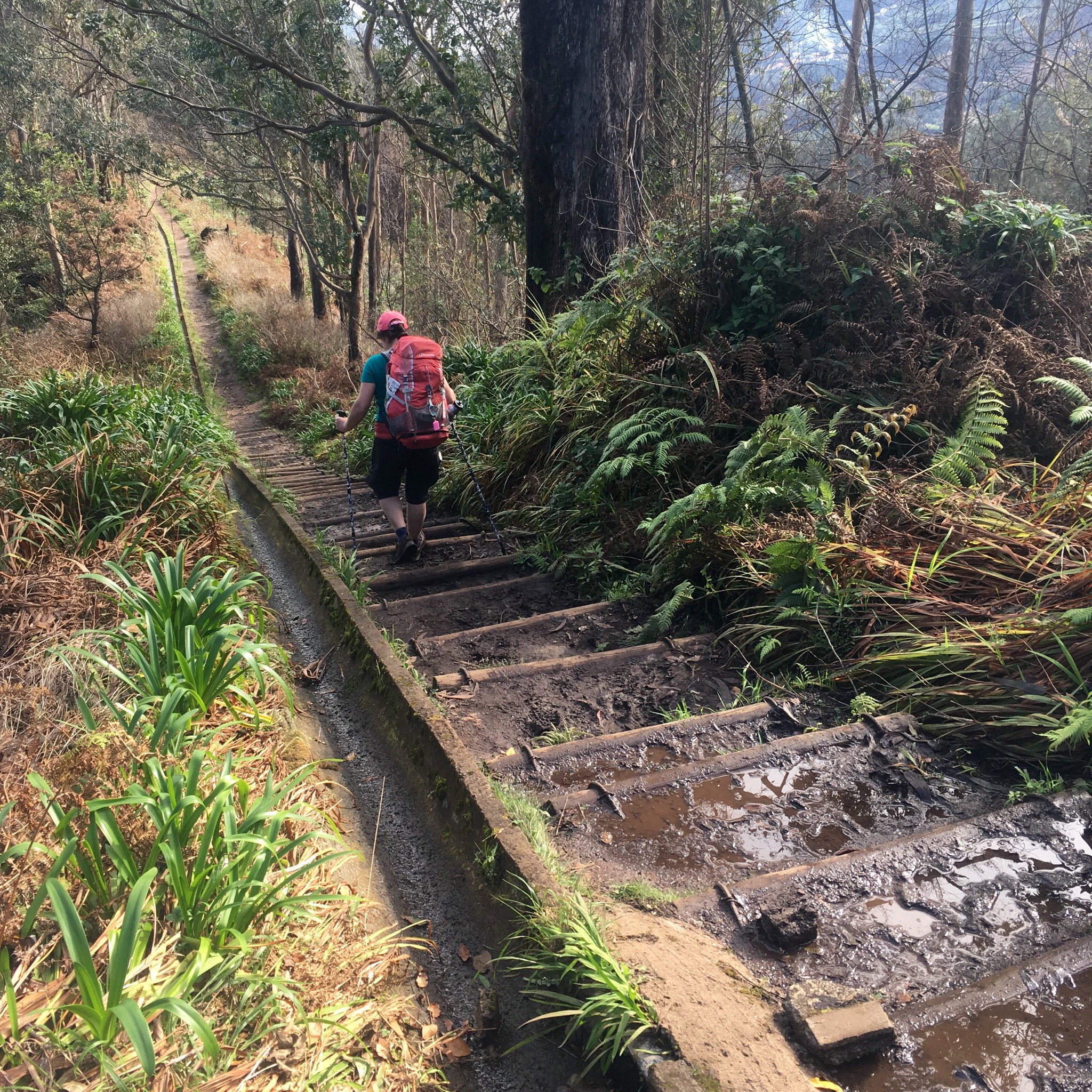
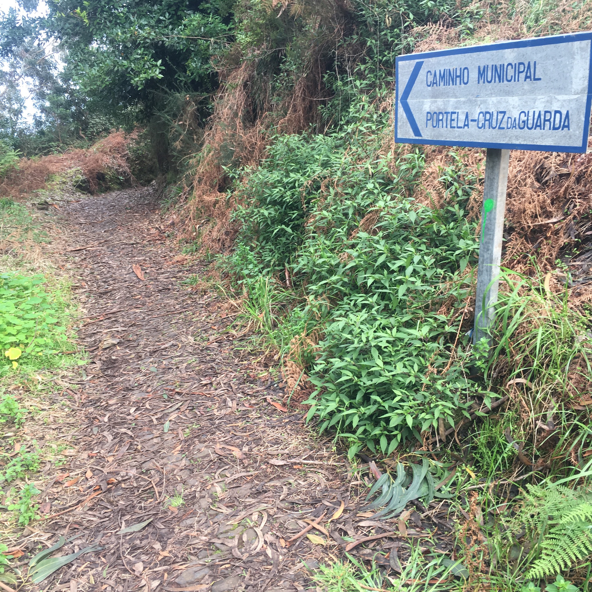
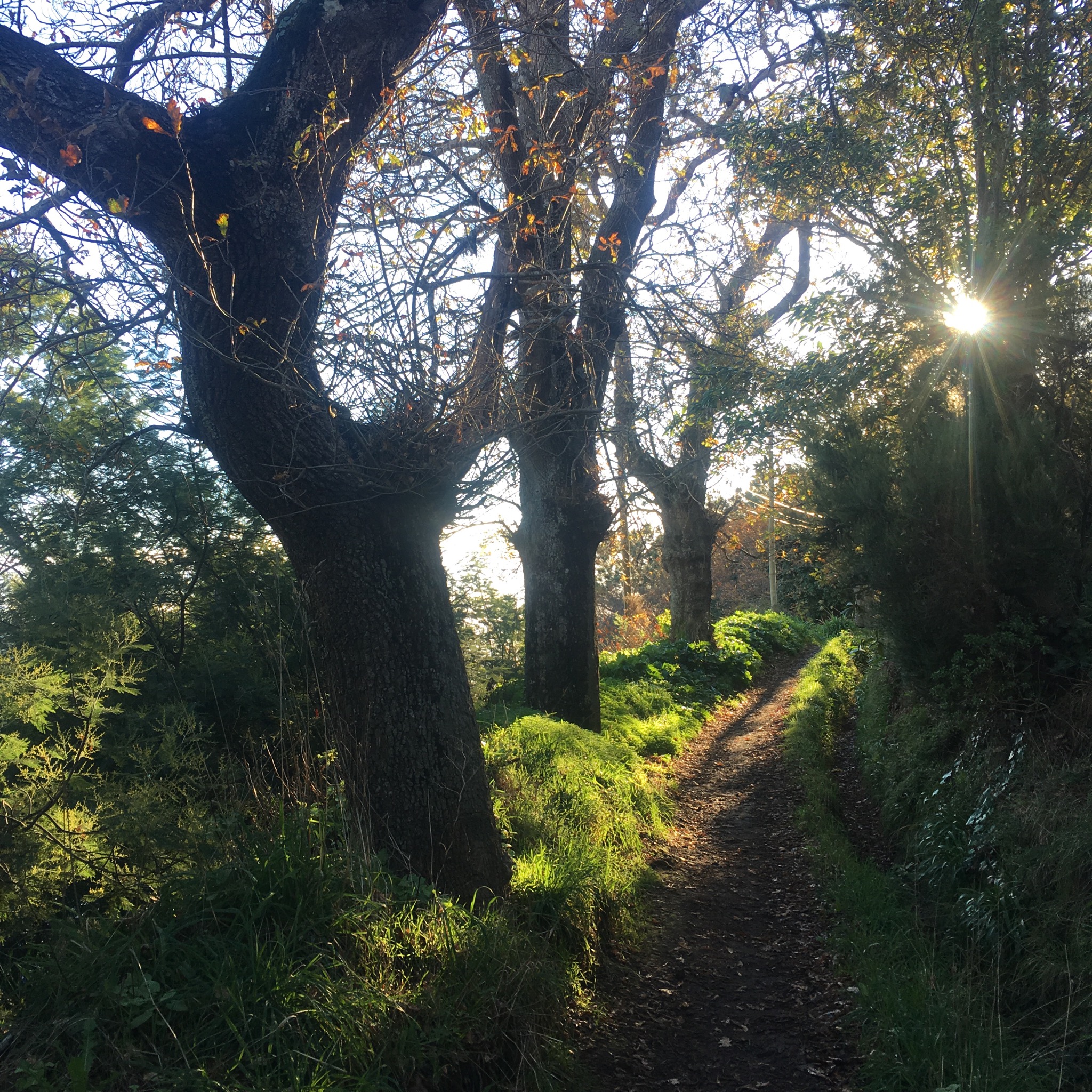
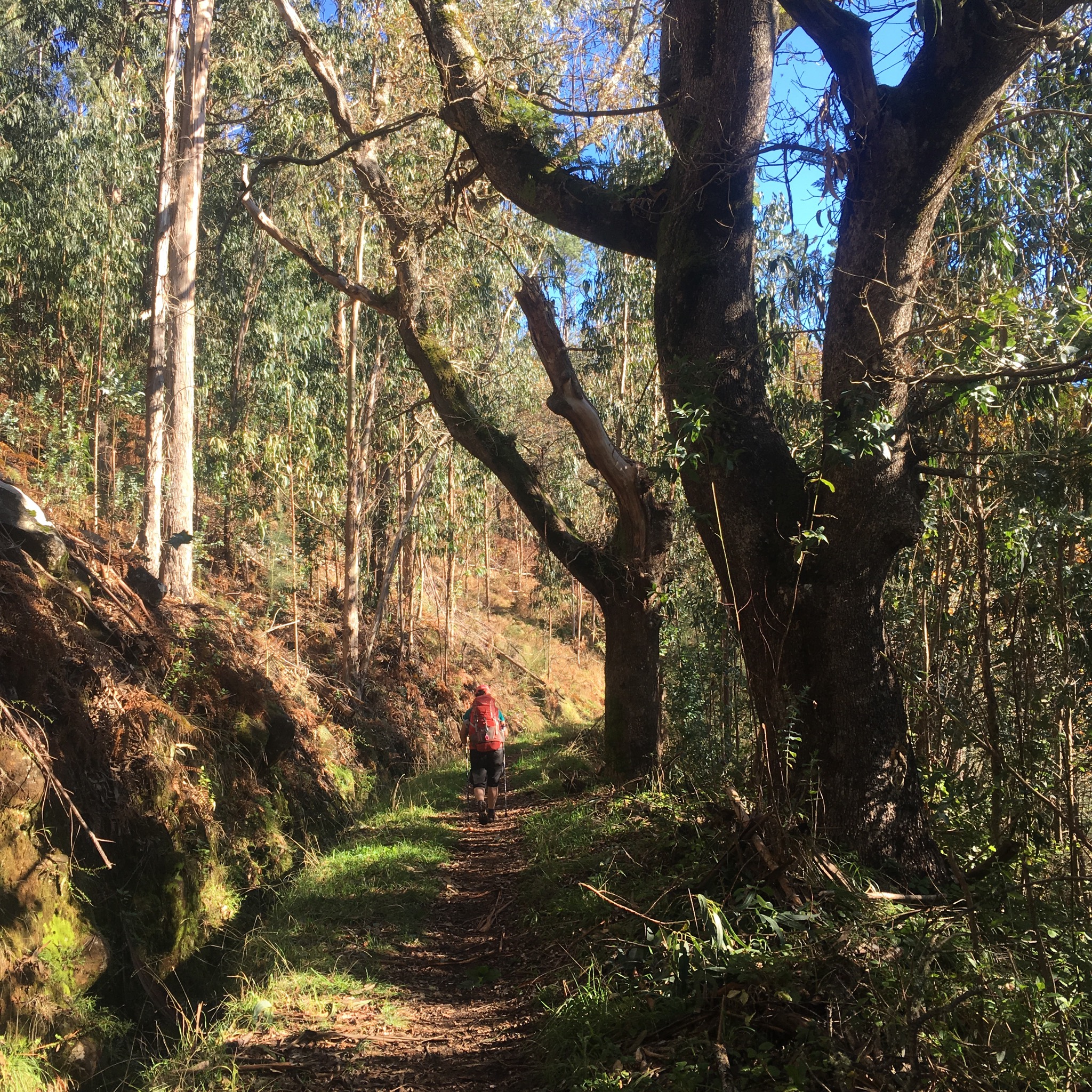
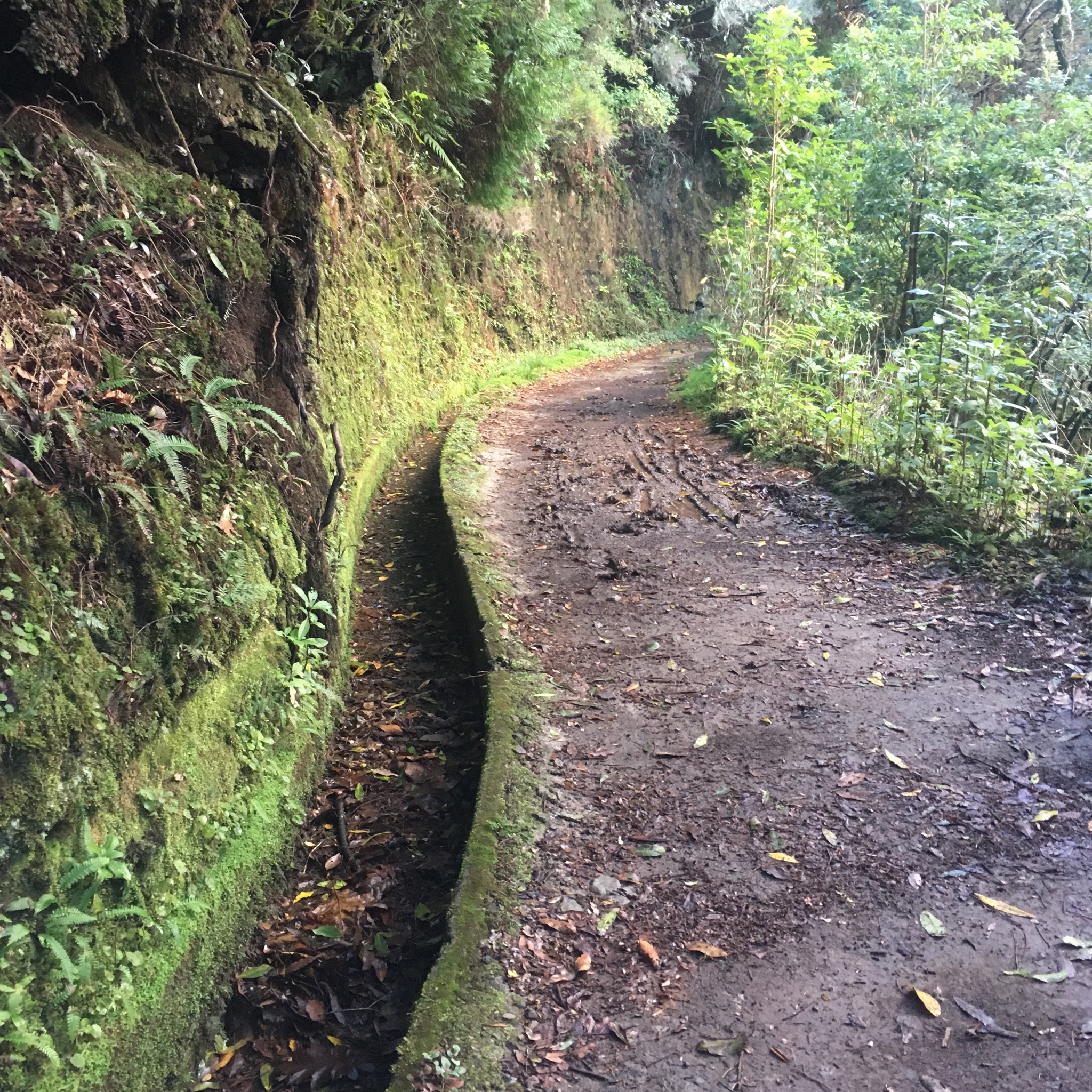
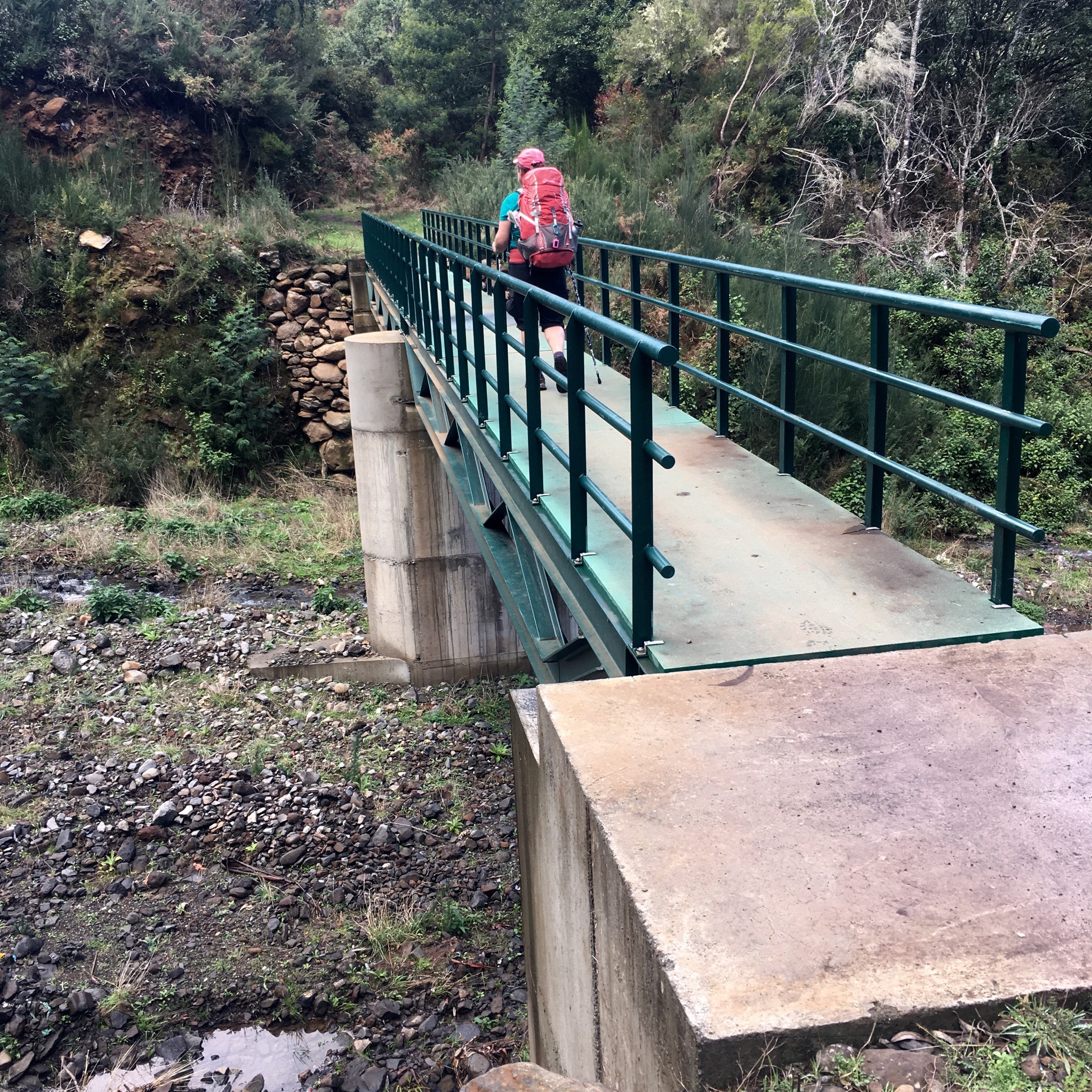
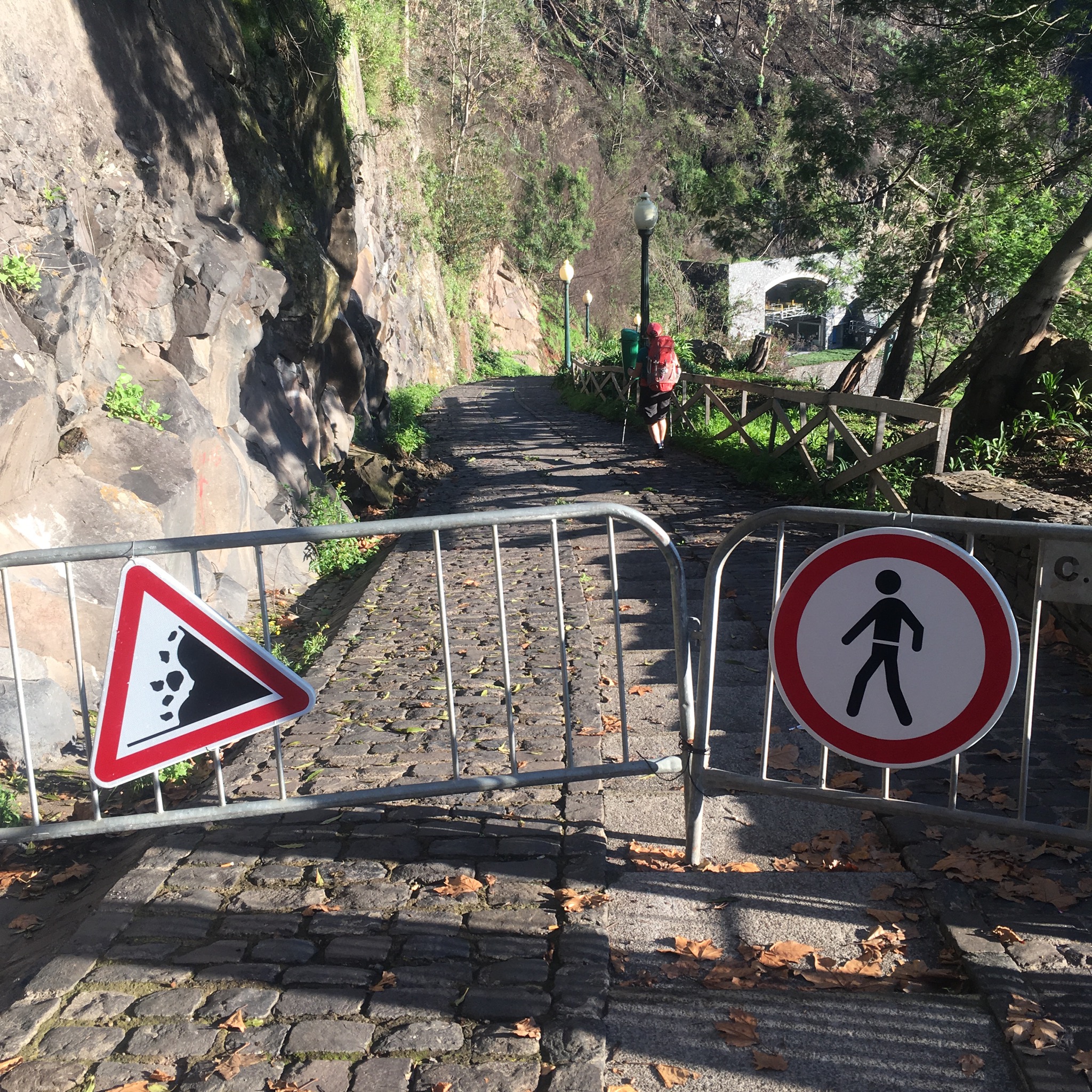
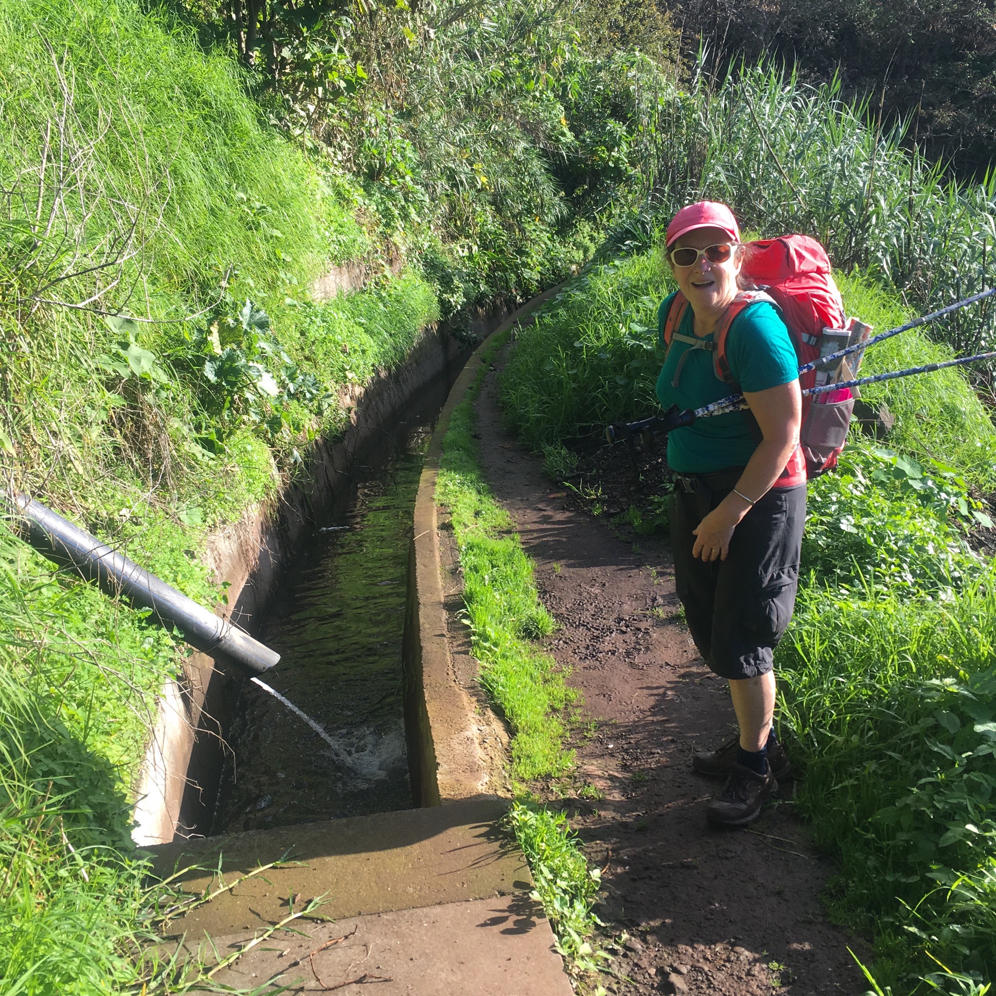
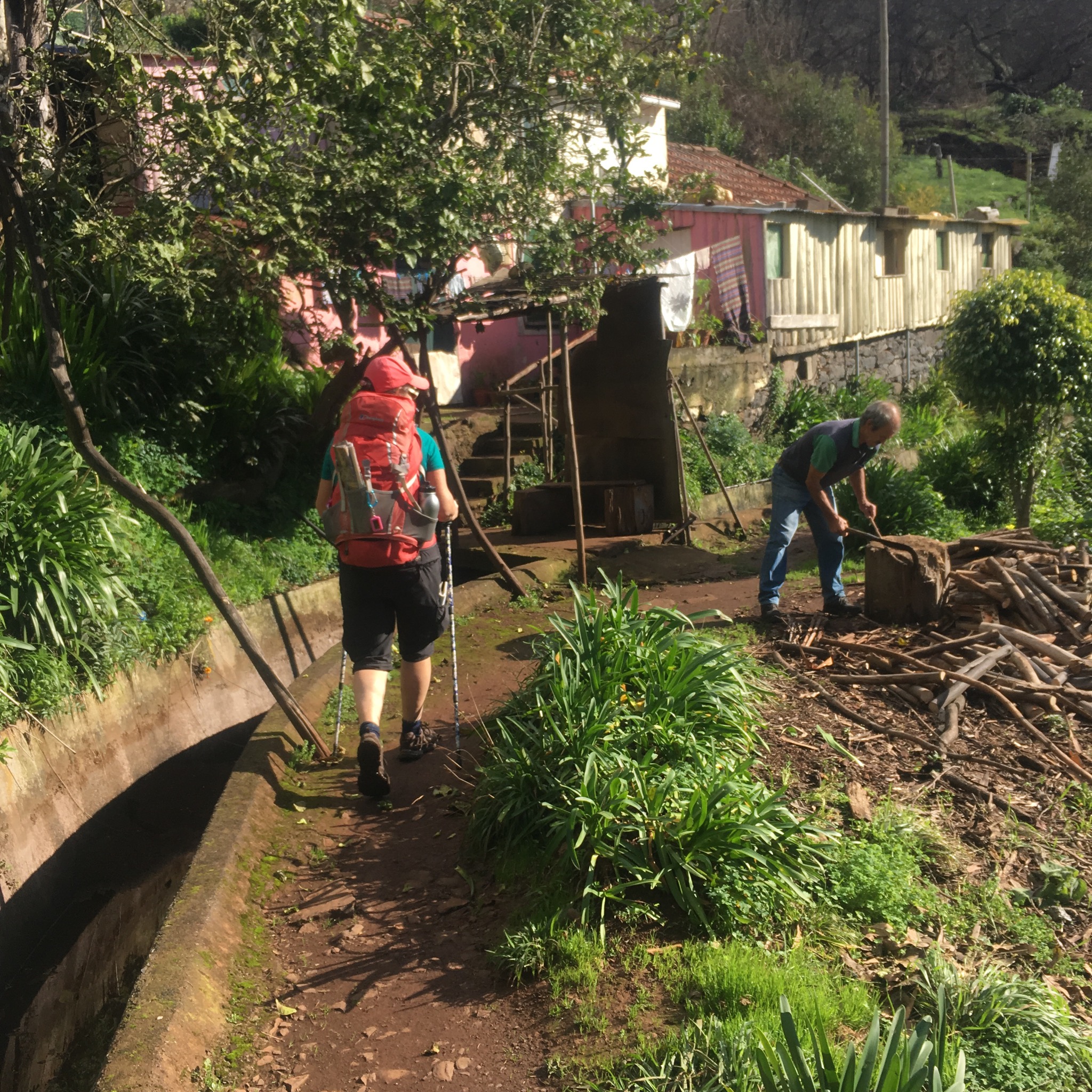
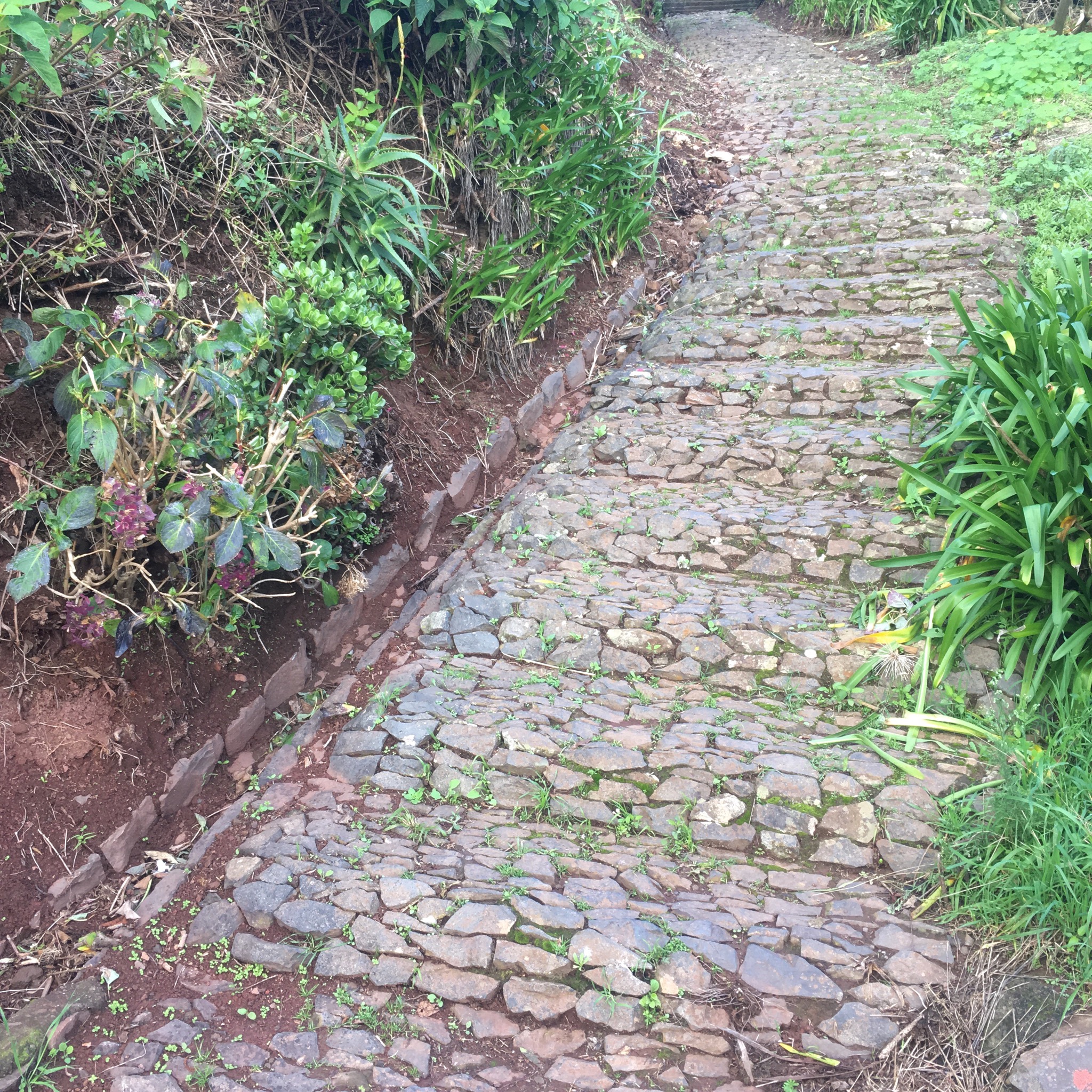
We watched as a couple descended to the little stone humpbacked bridge over the Natal stream and , encouraged by their reports of a “good path”, started up the trail.

IMG_2457.JPG

IMG_2458.JPG
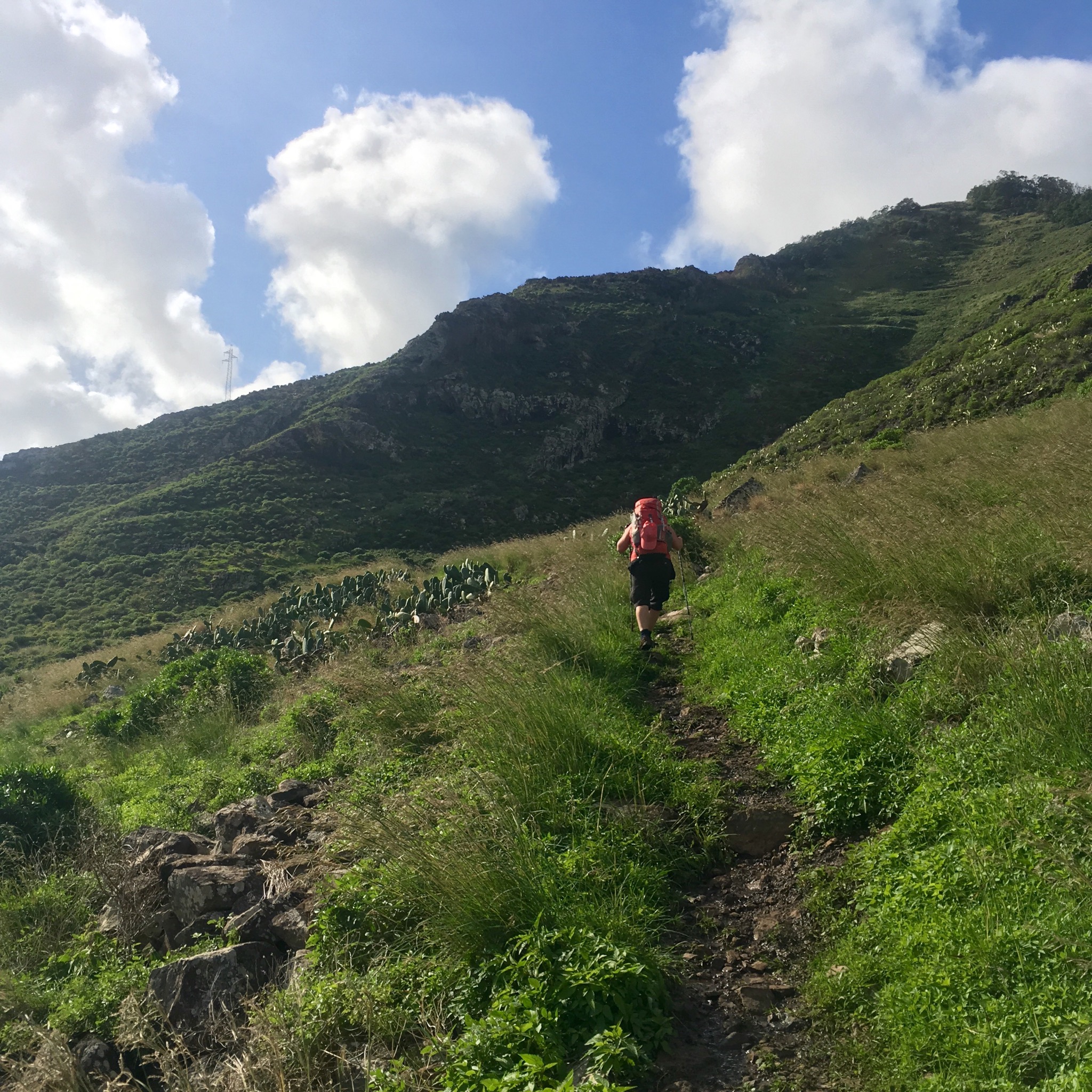
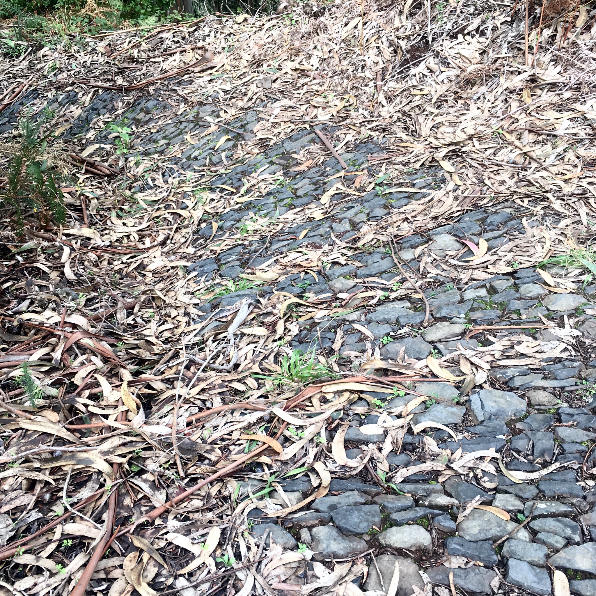
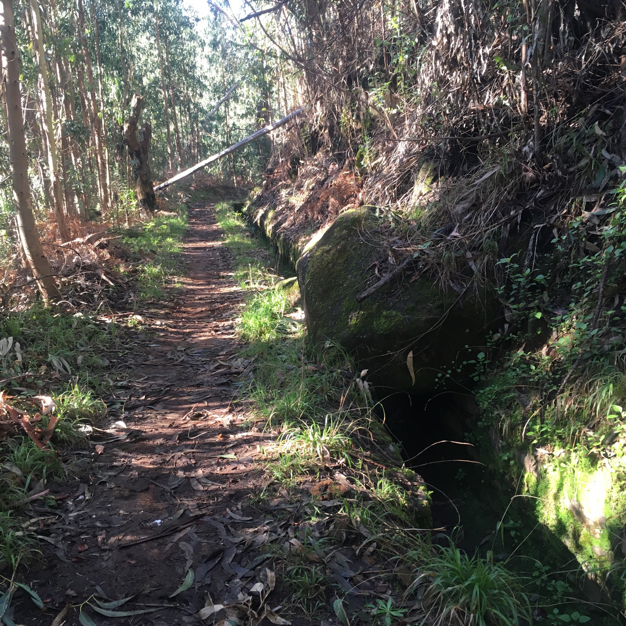
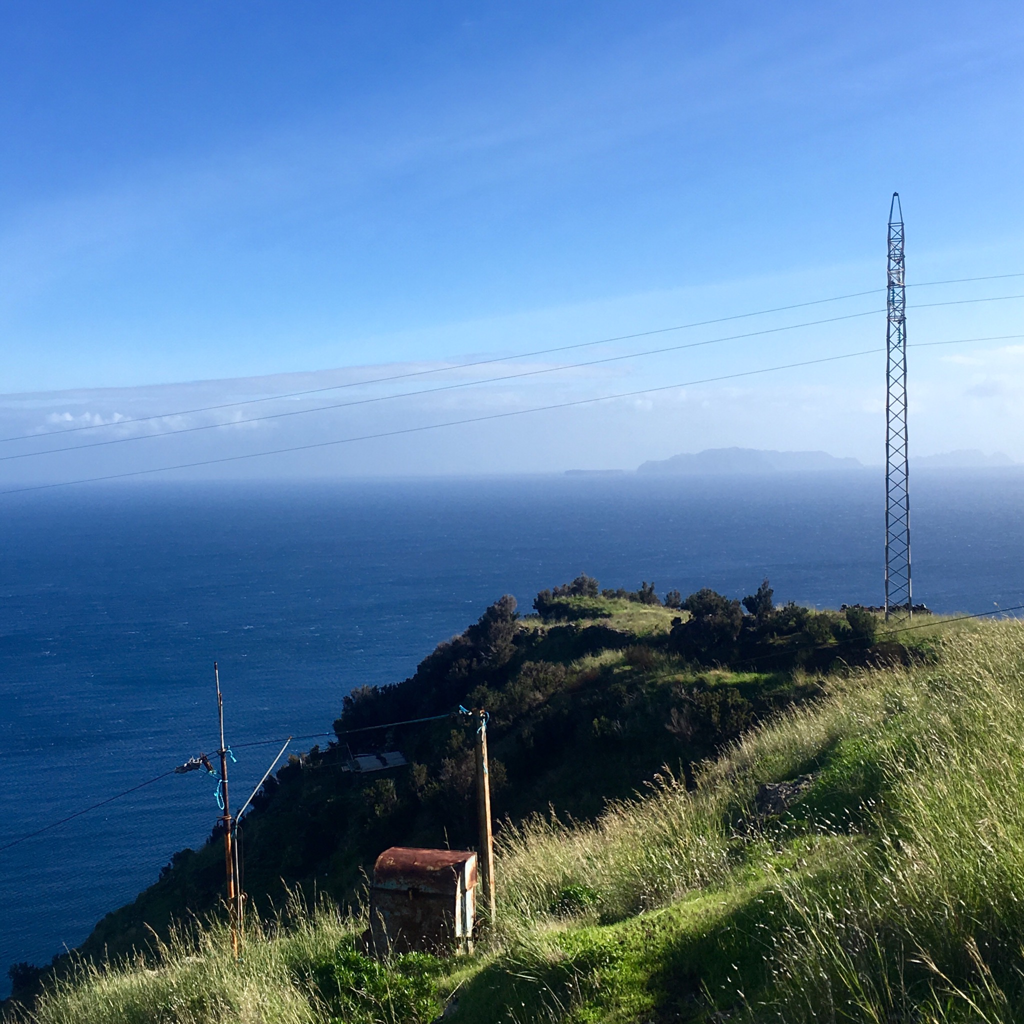
The description we had read advised us to follow the electricity pylons up the steep slope but in fact the path was clear anyway.

IMG_2460.JPG

IMG_2462.JPG

IMG_2469.JPG

IMG_2465.JPG
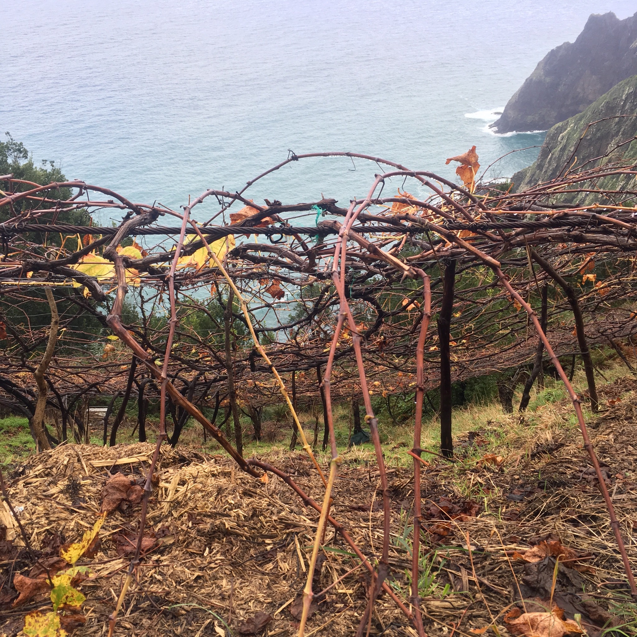
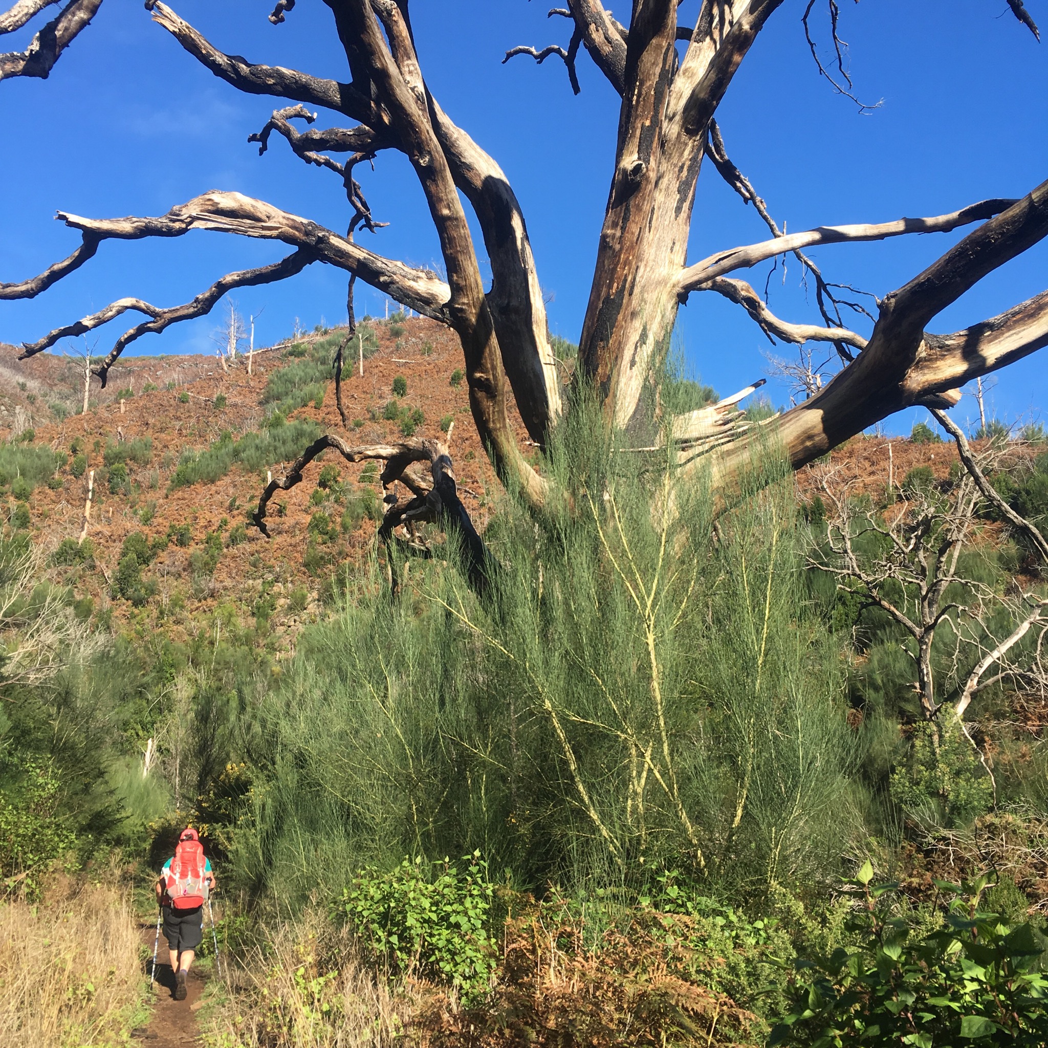
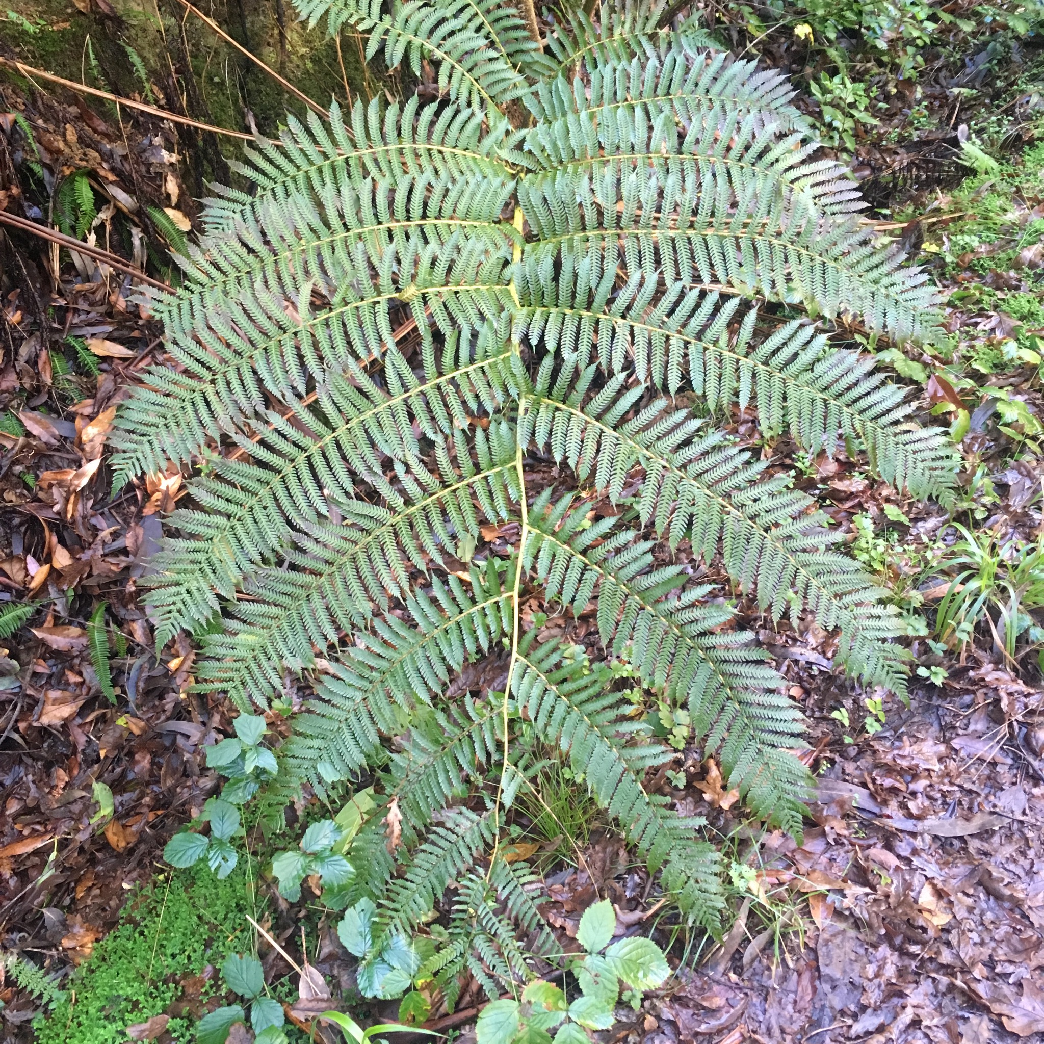
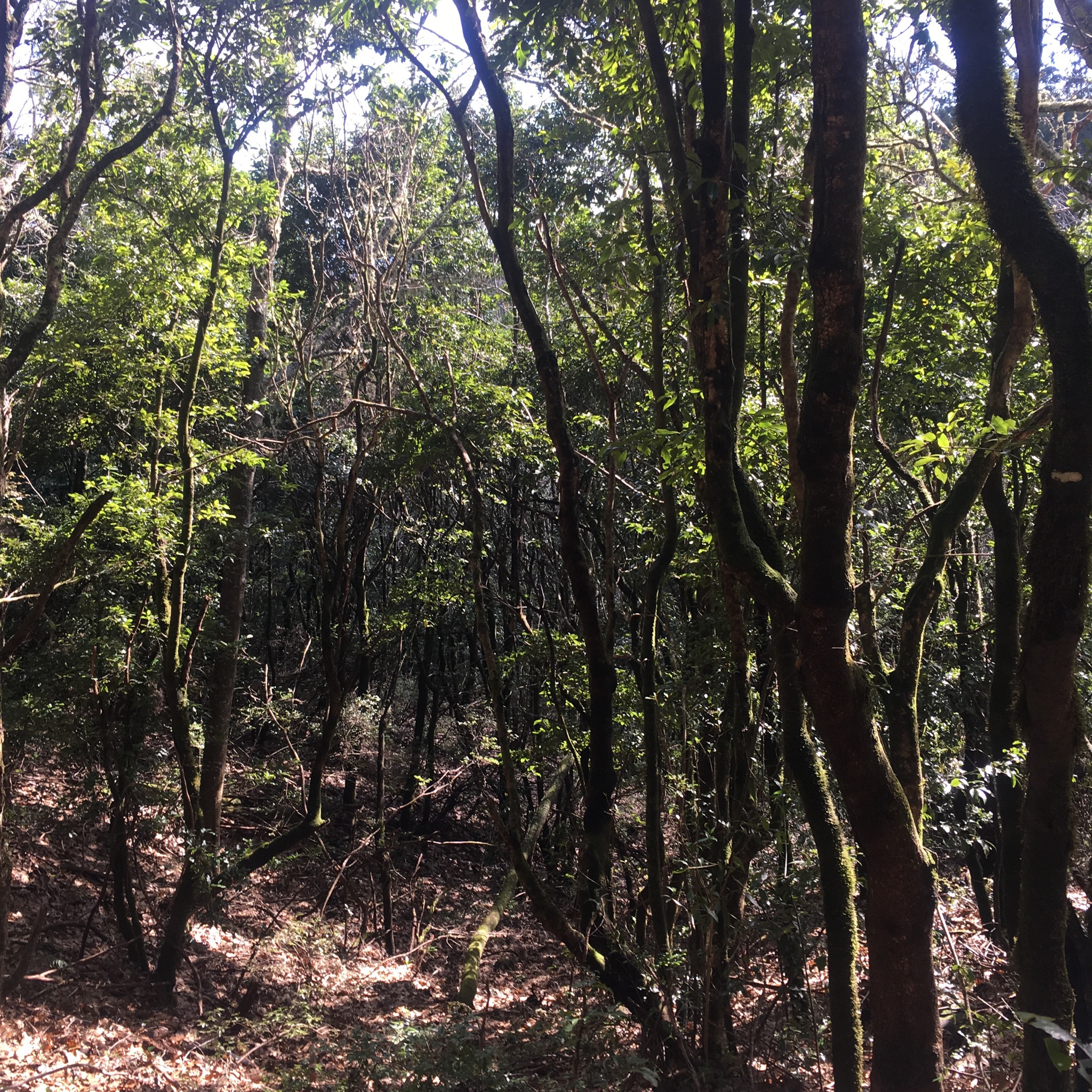
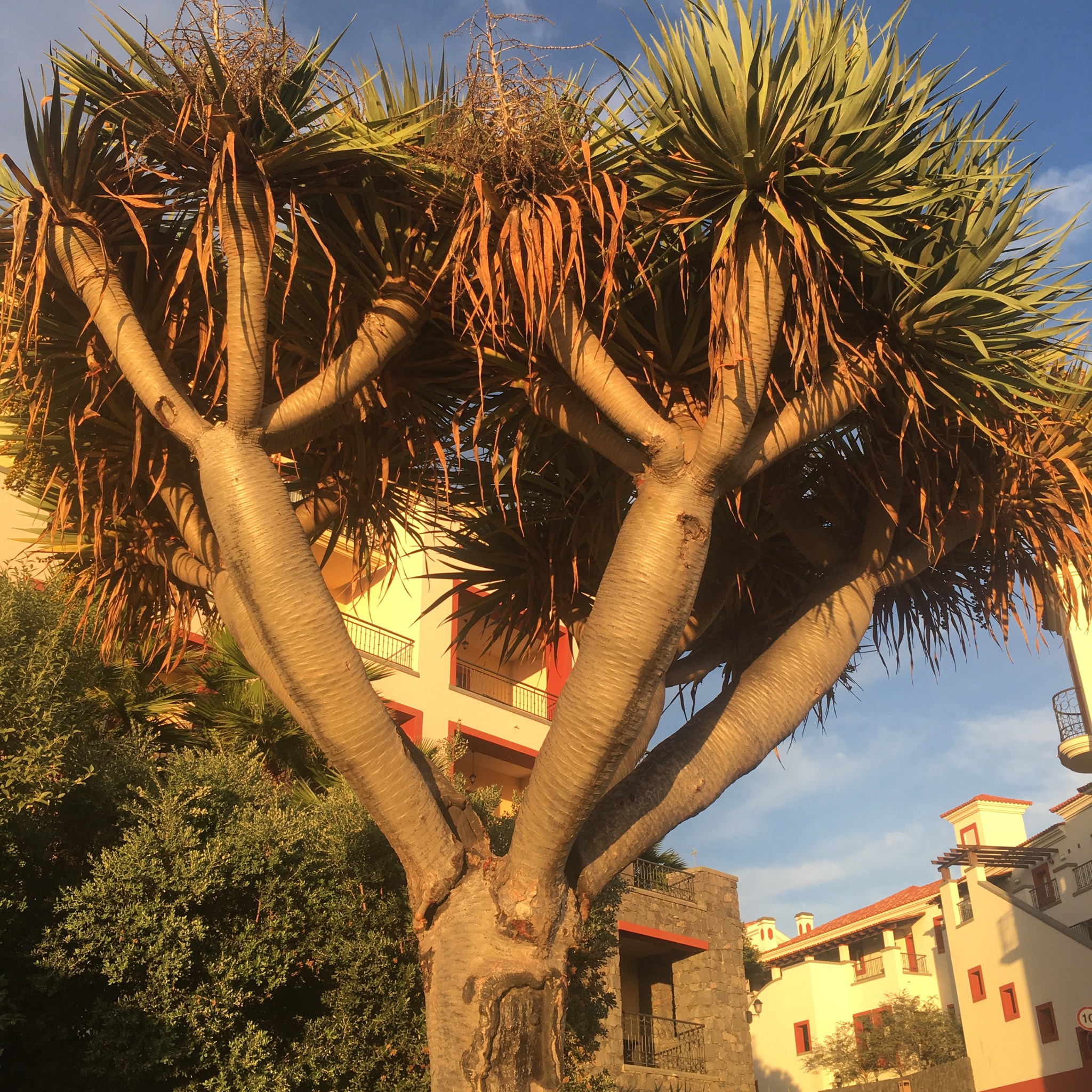
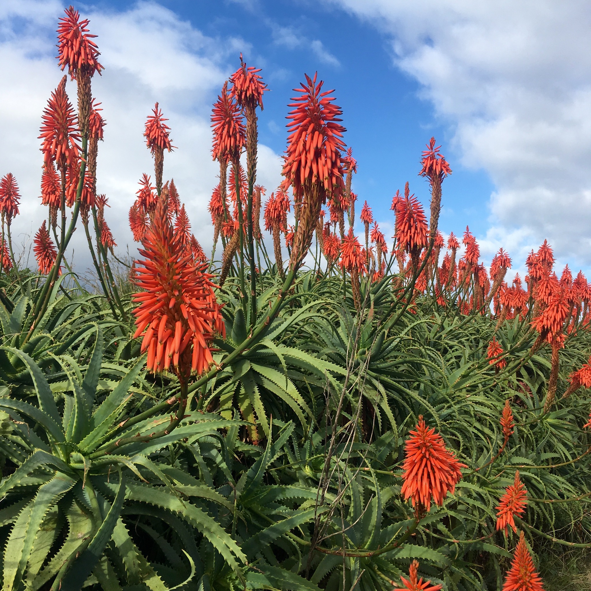
It was good to see the prickly pear here was healthy after seeing so much devastation and disease in Spain.

IMG_2463.JPG
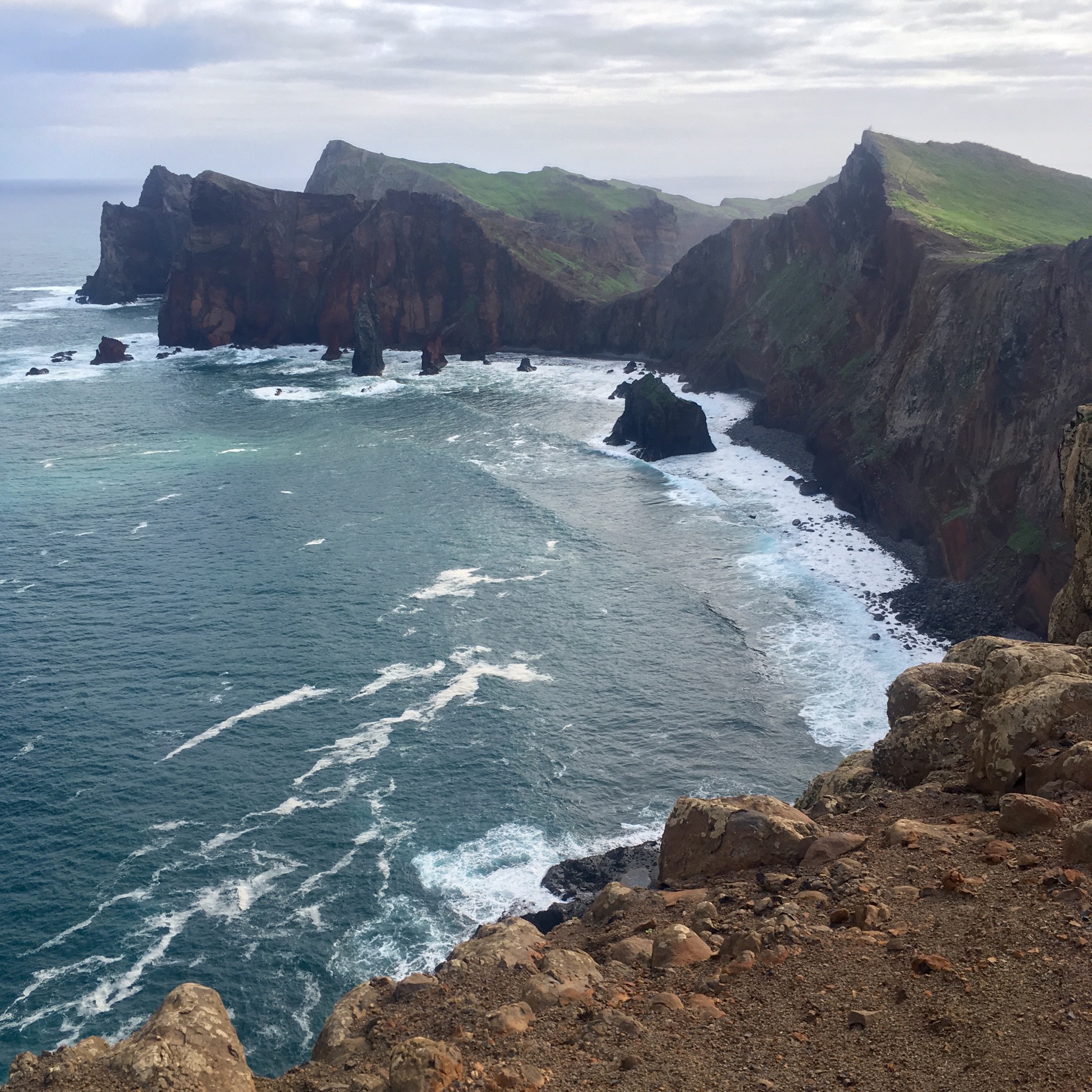
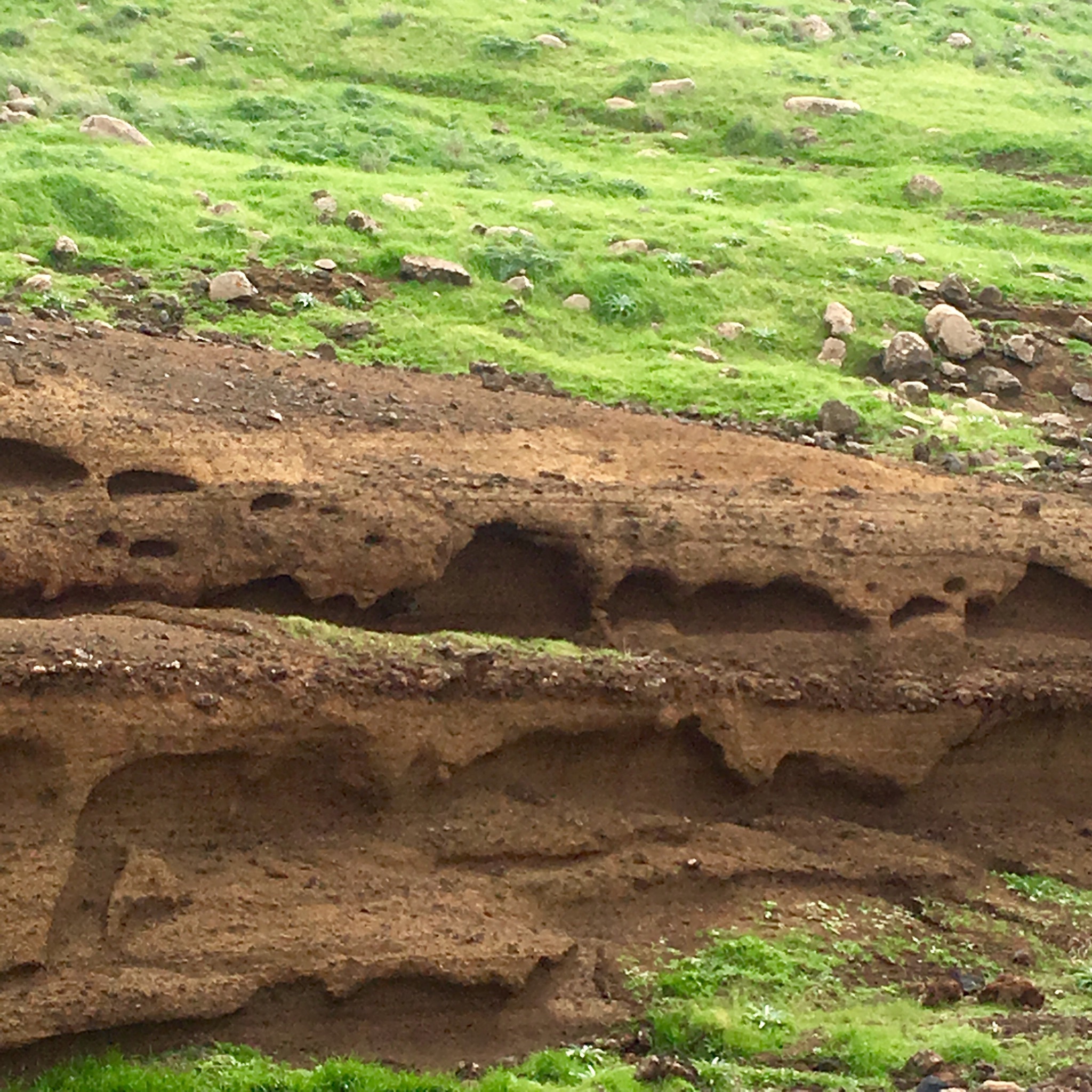
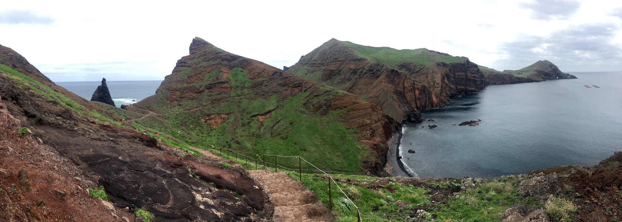
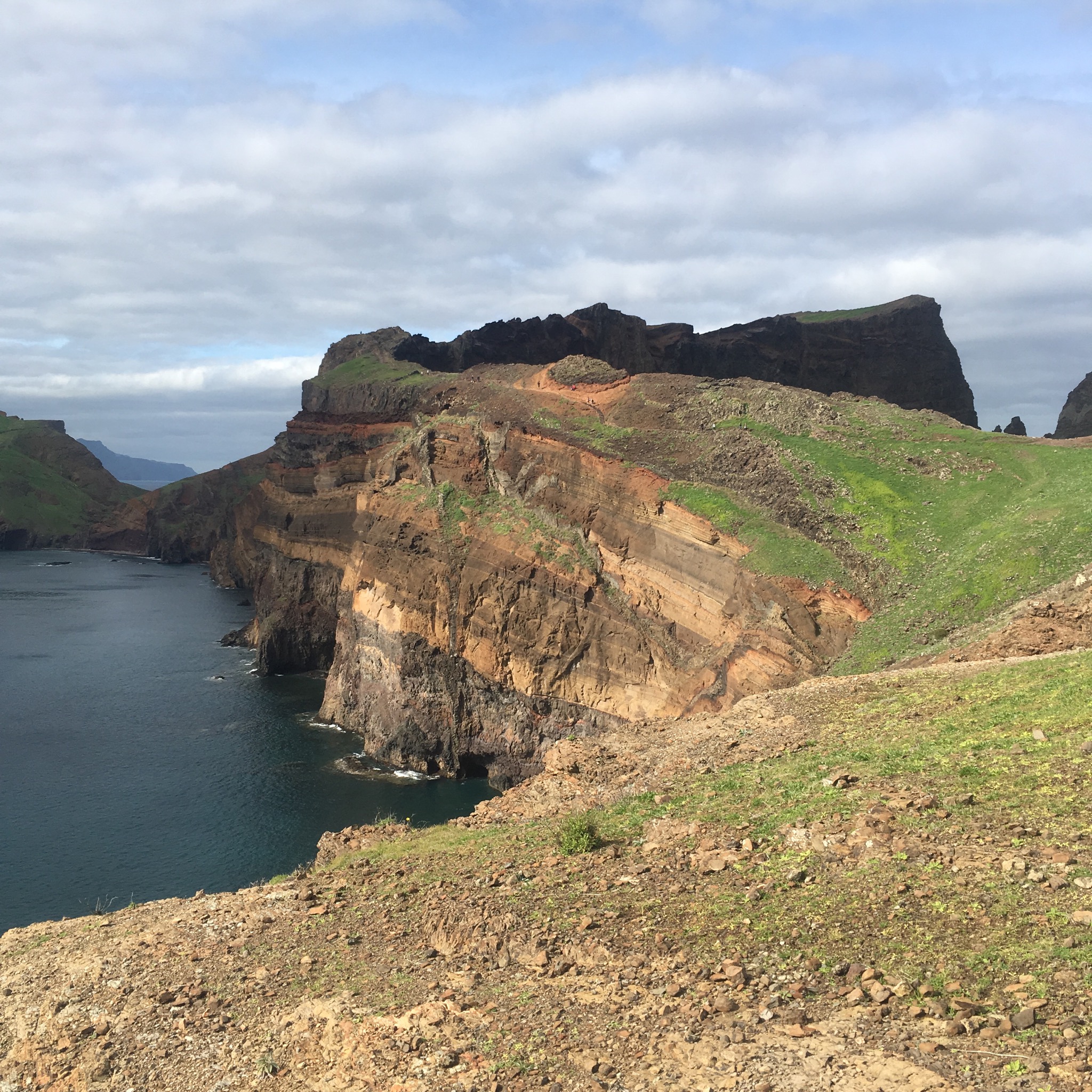
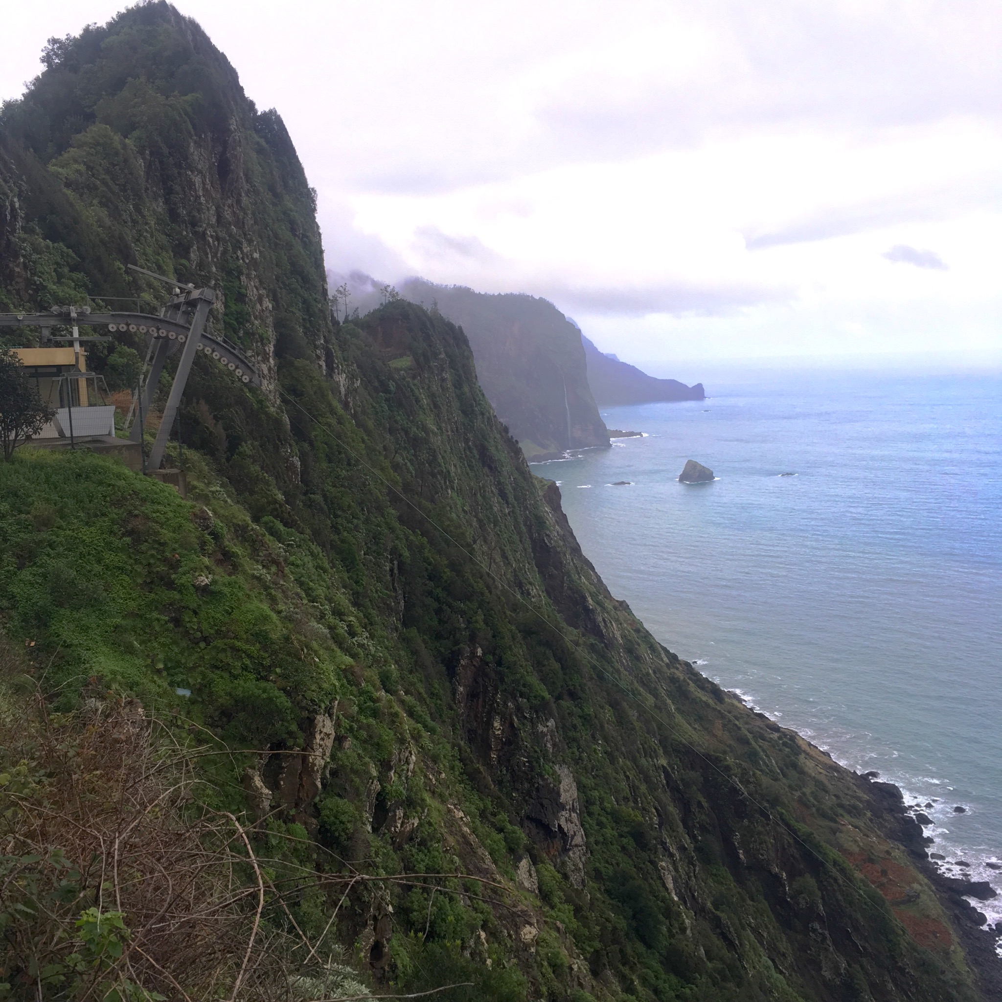
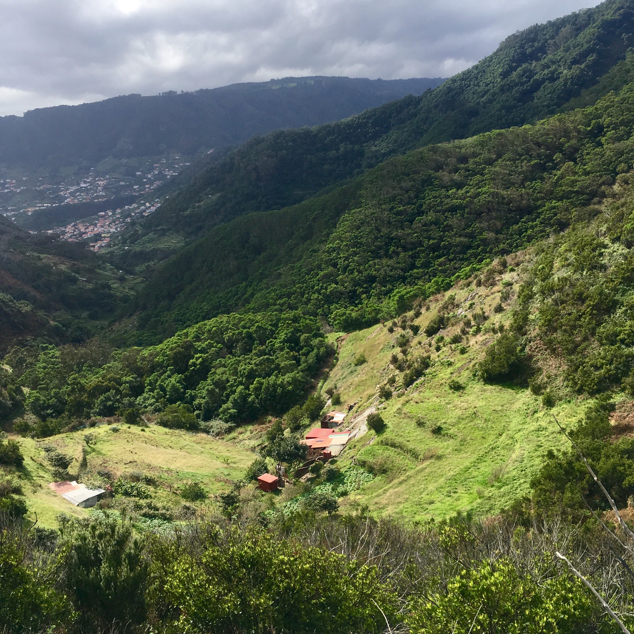
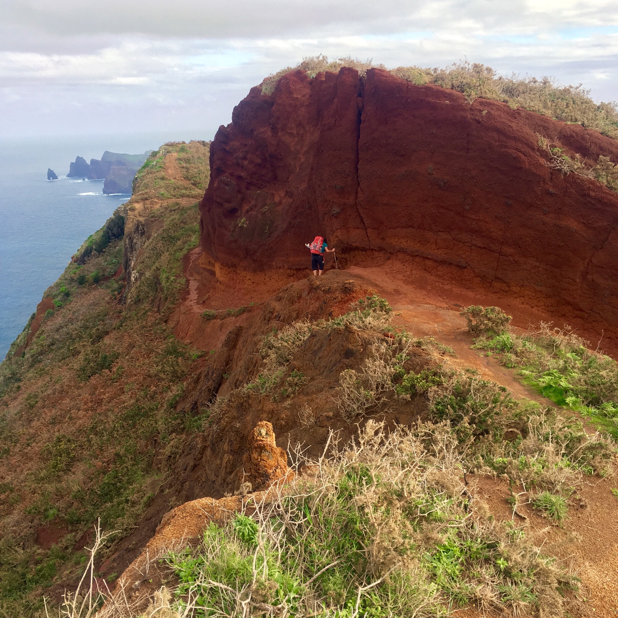
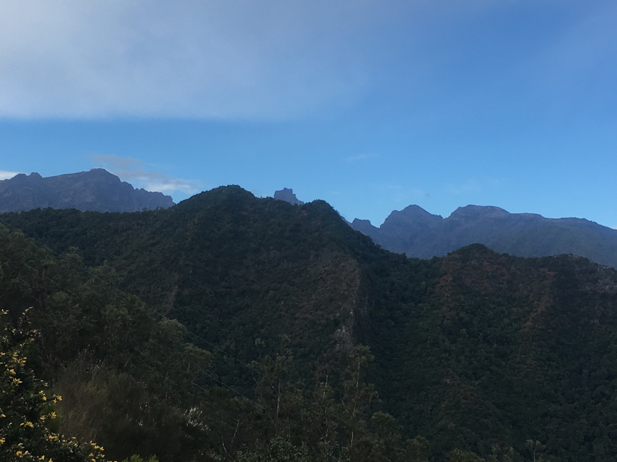
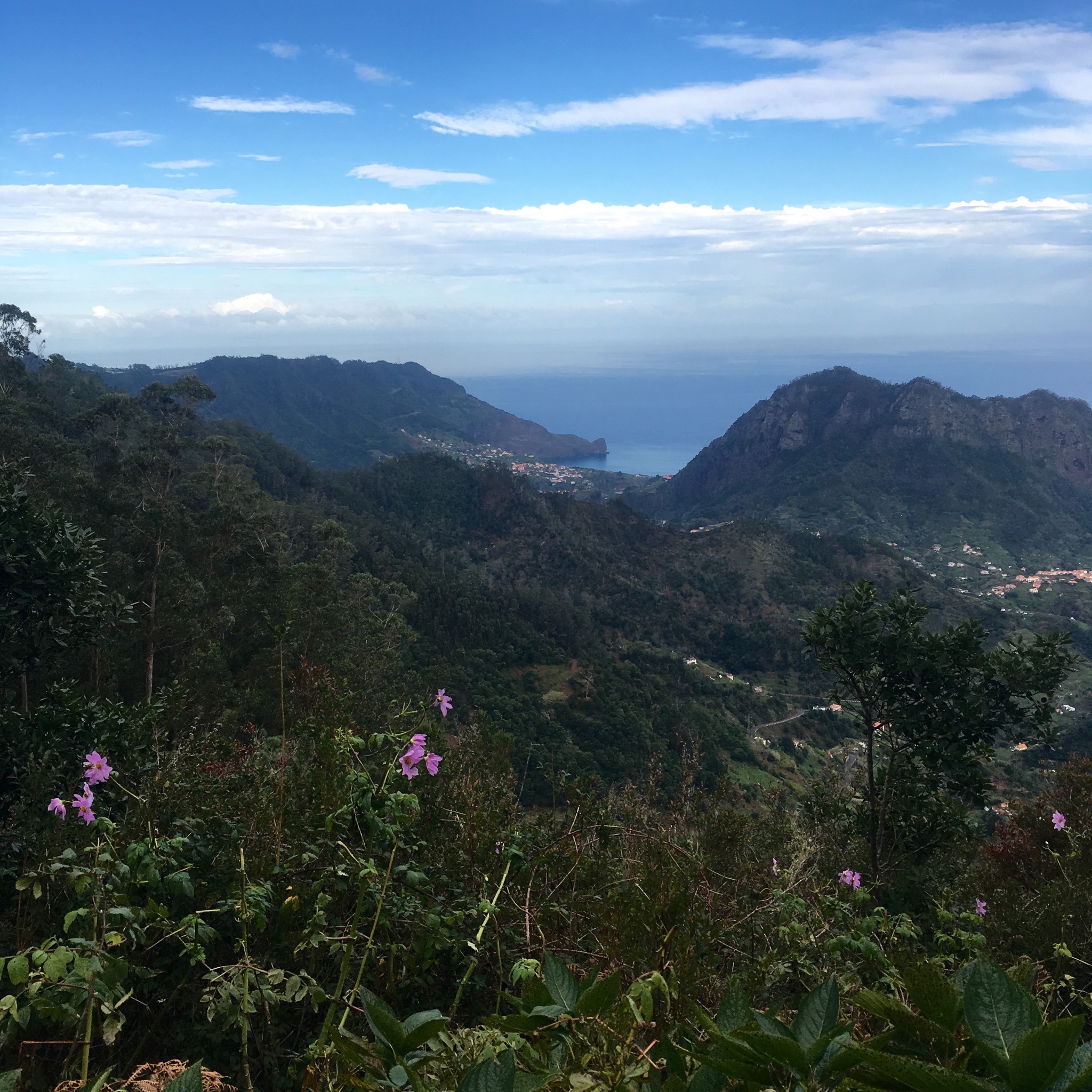
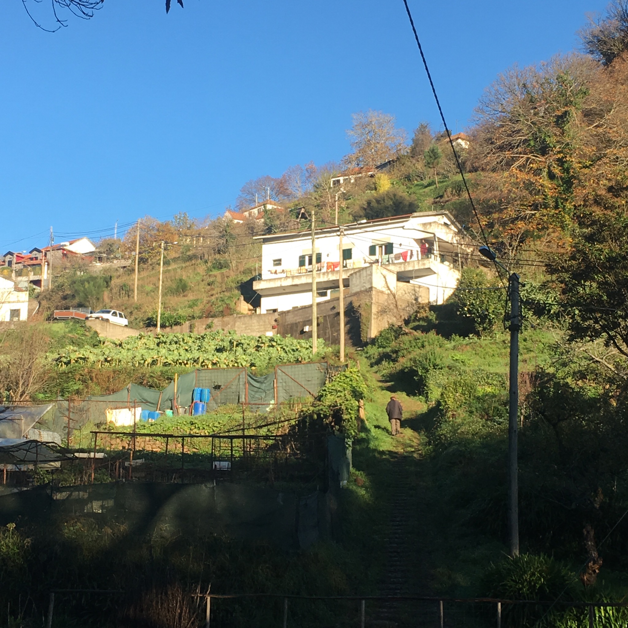
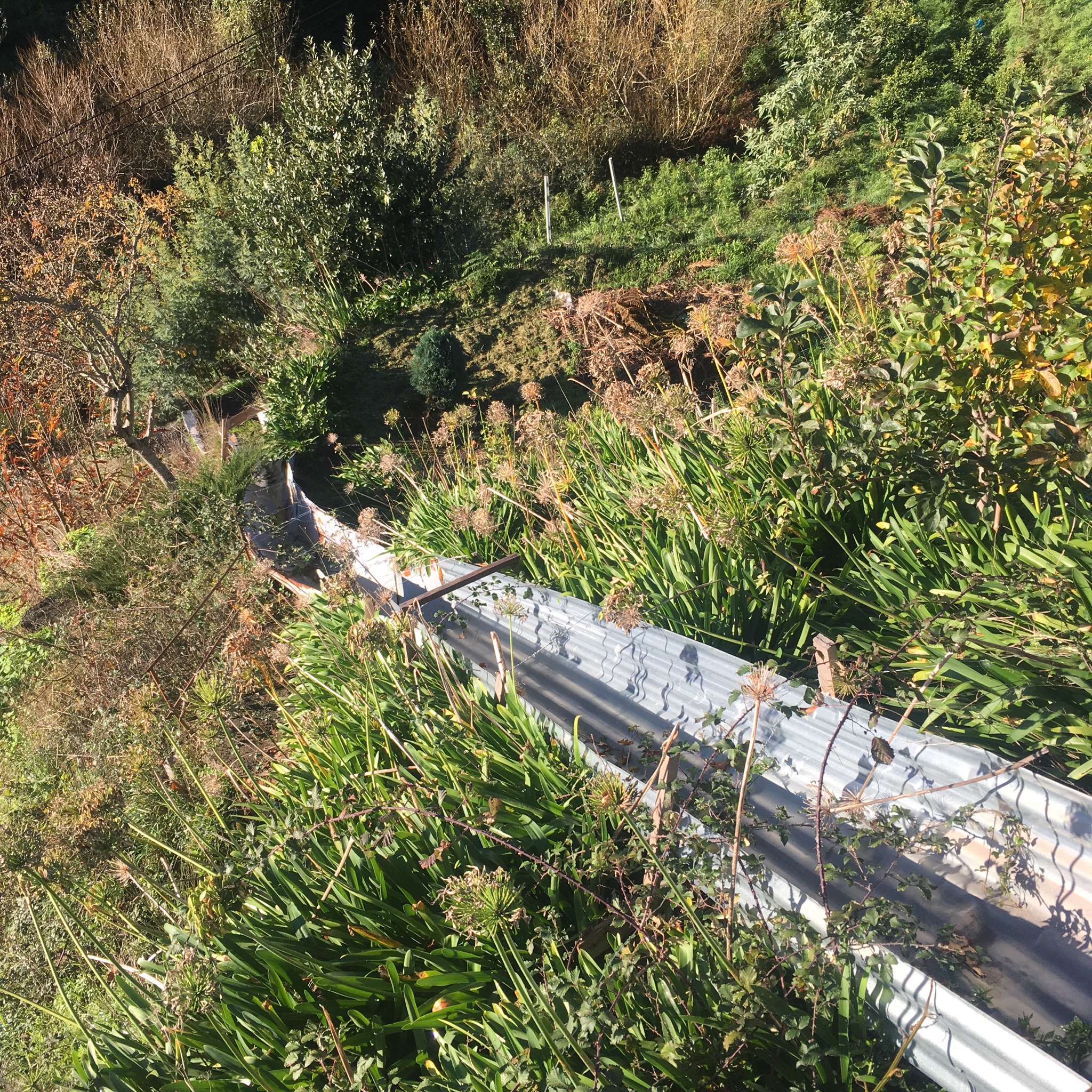
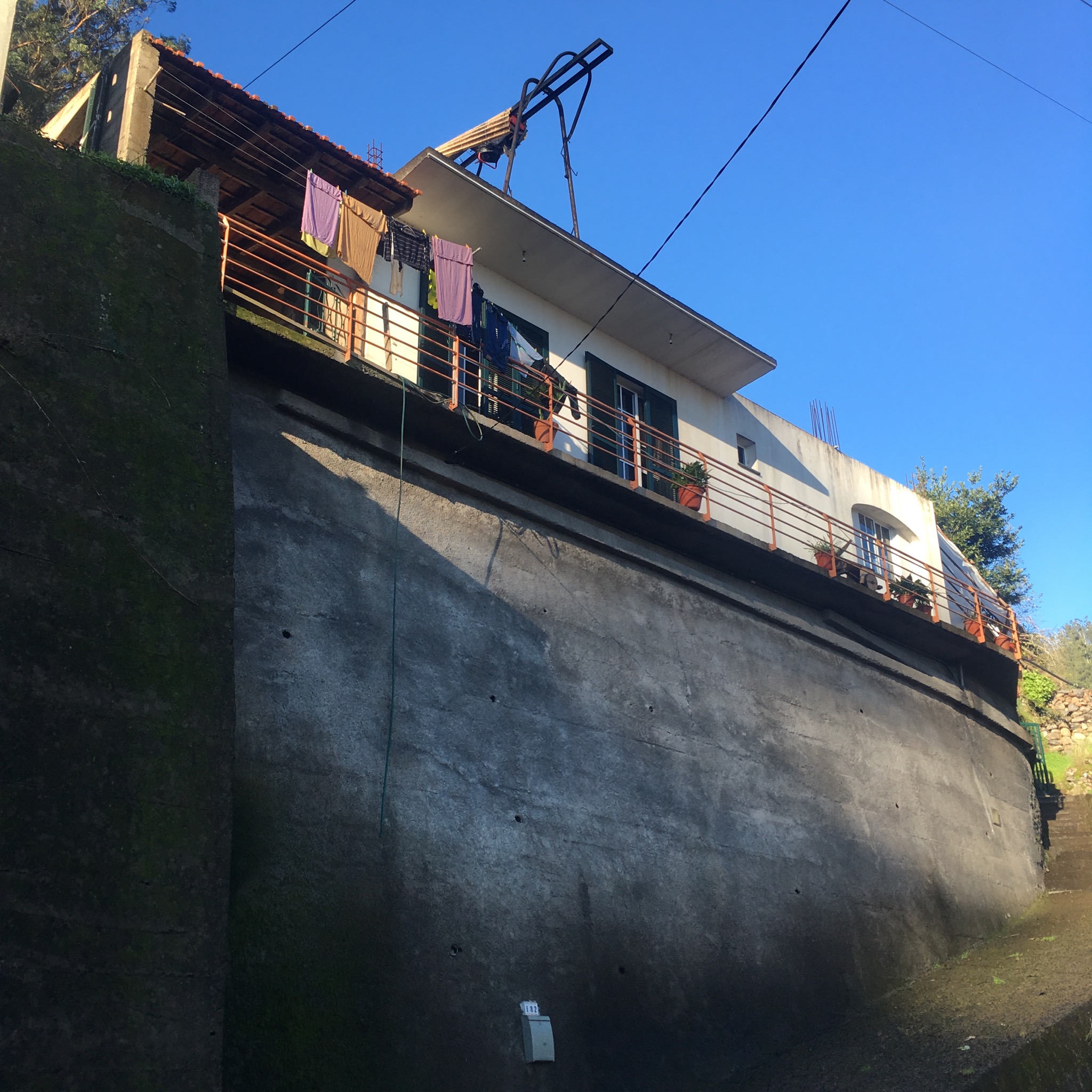
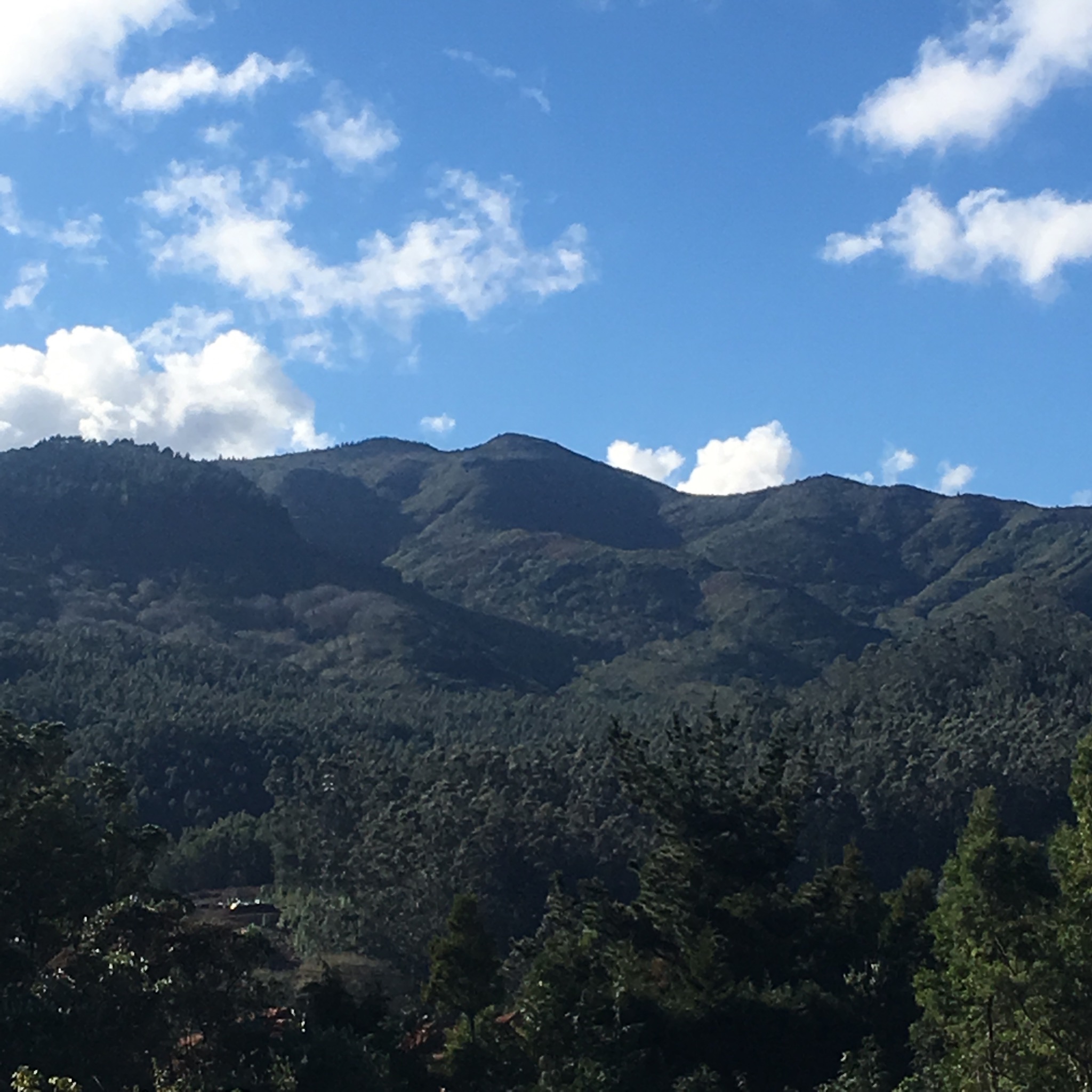
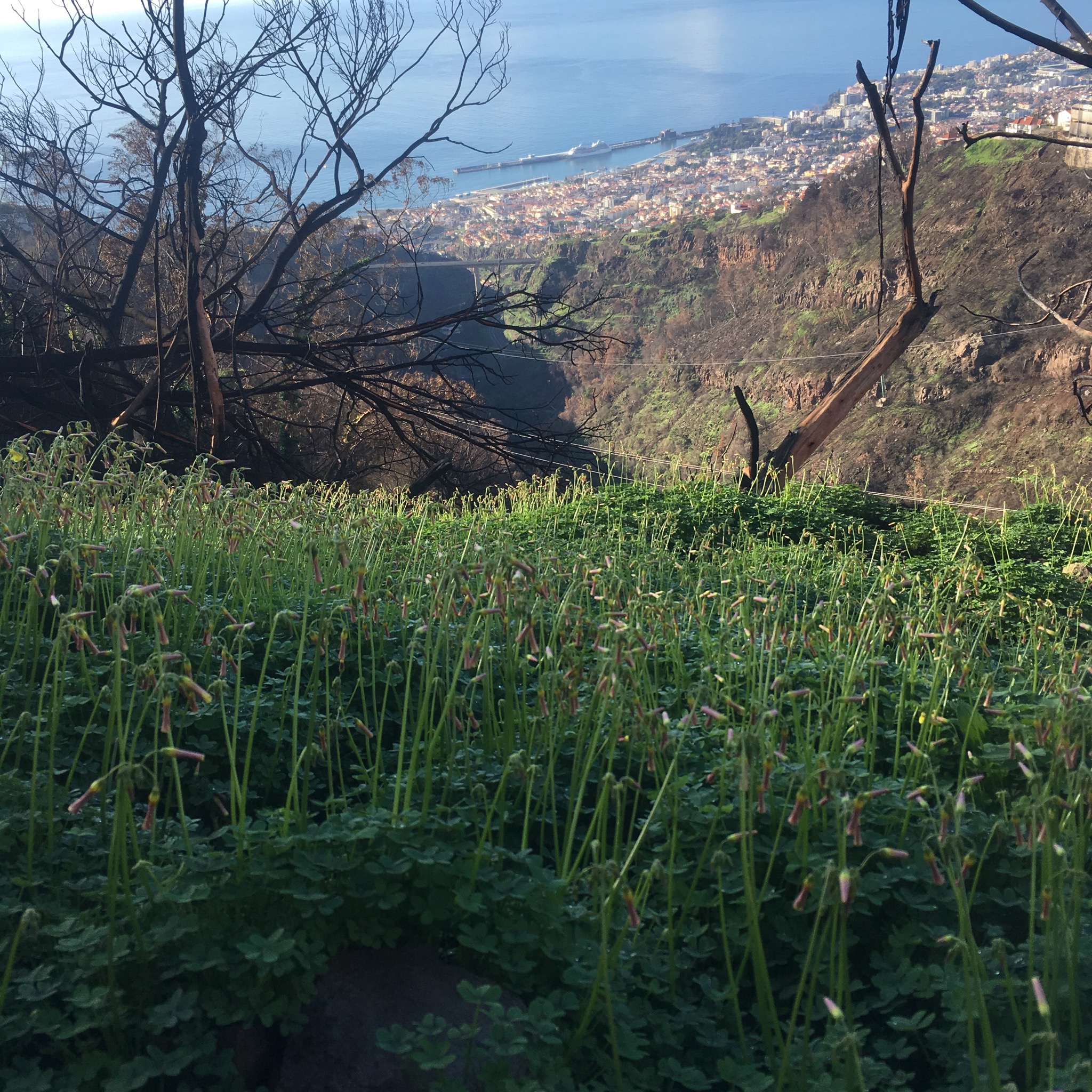
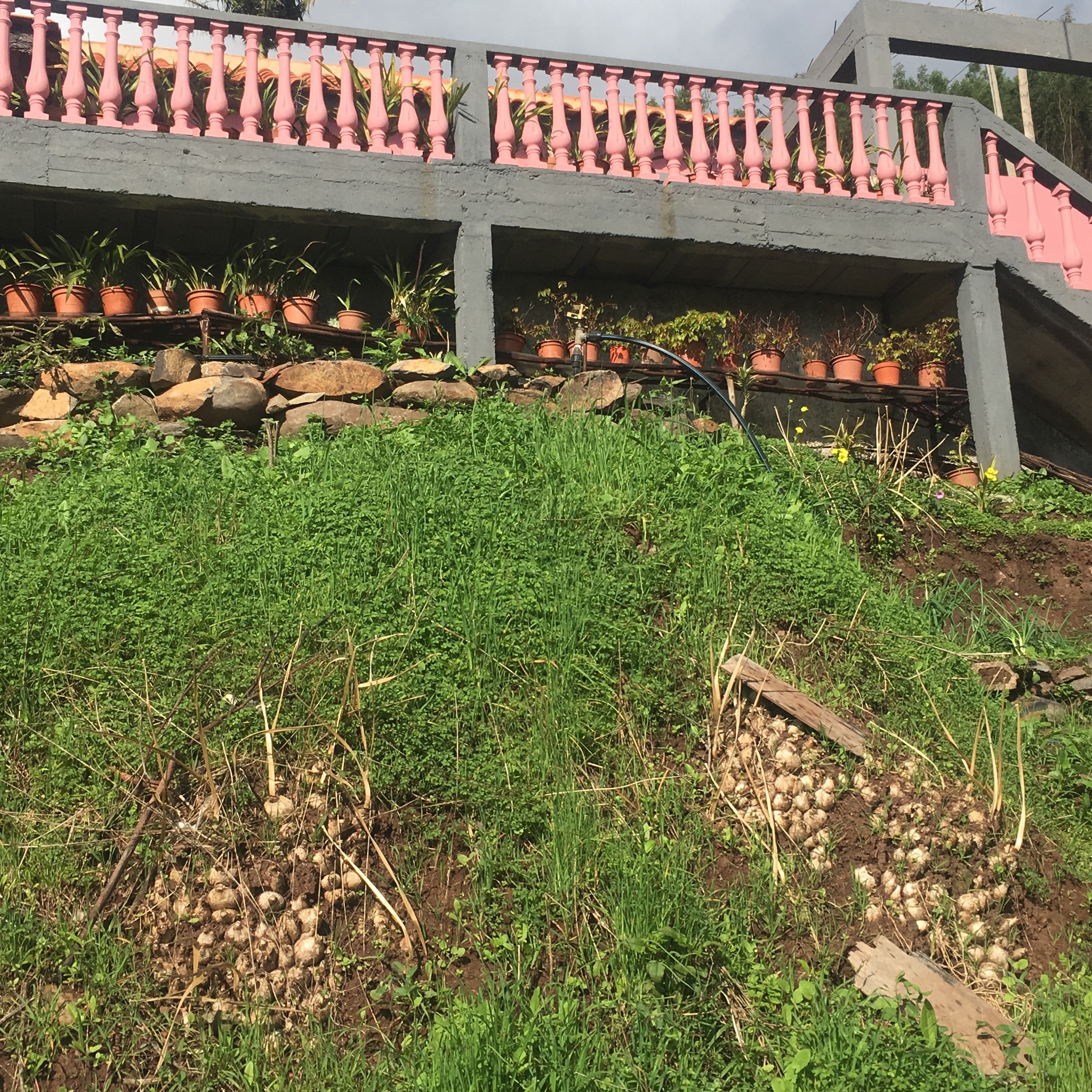
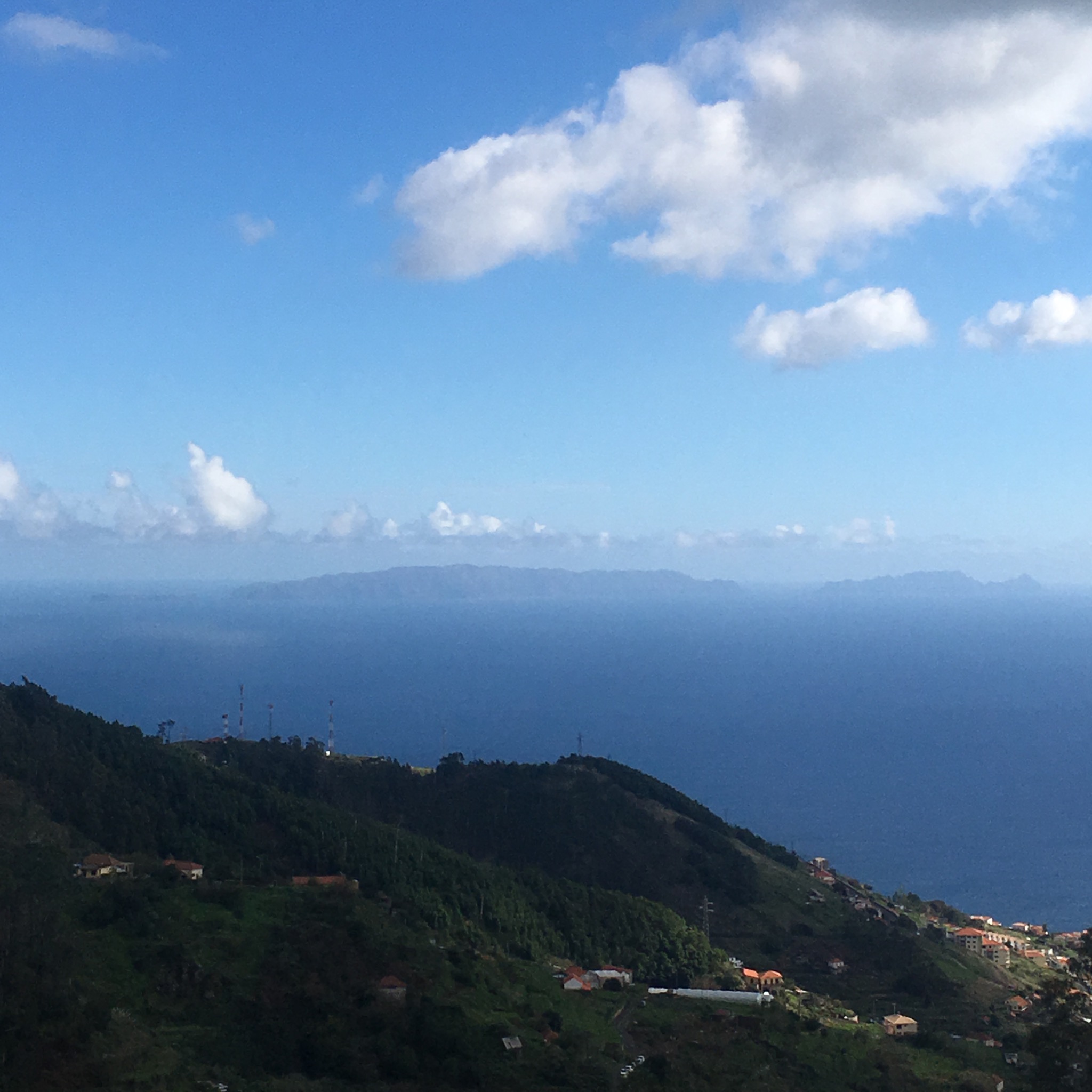
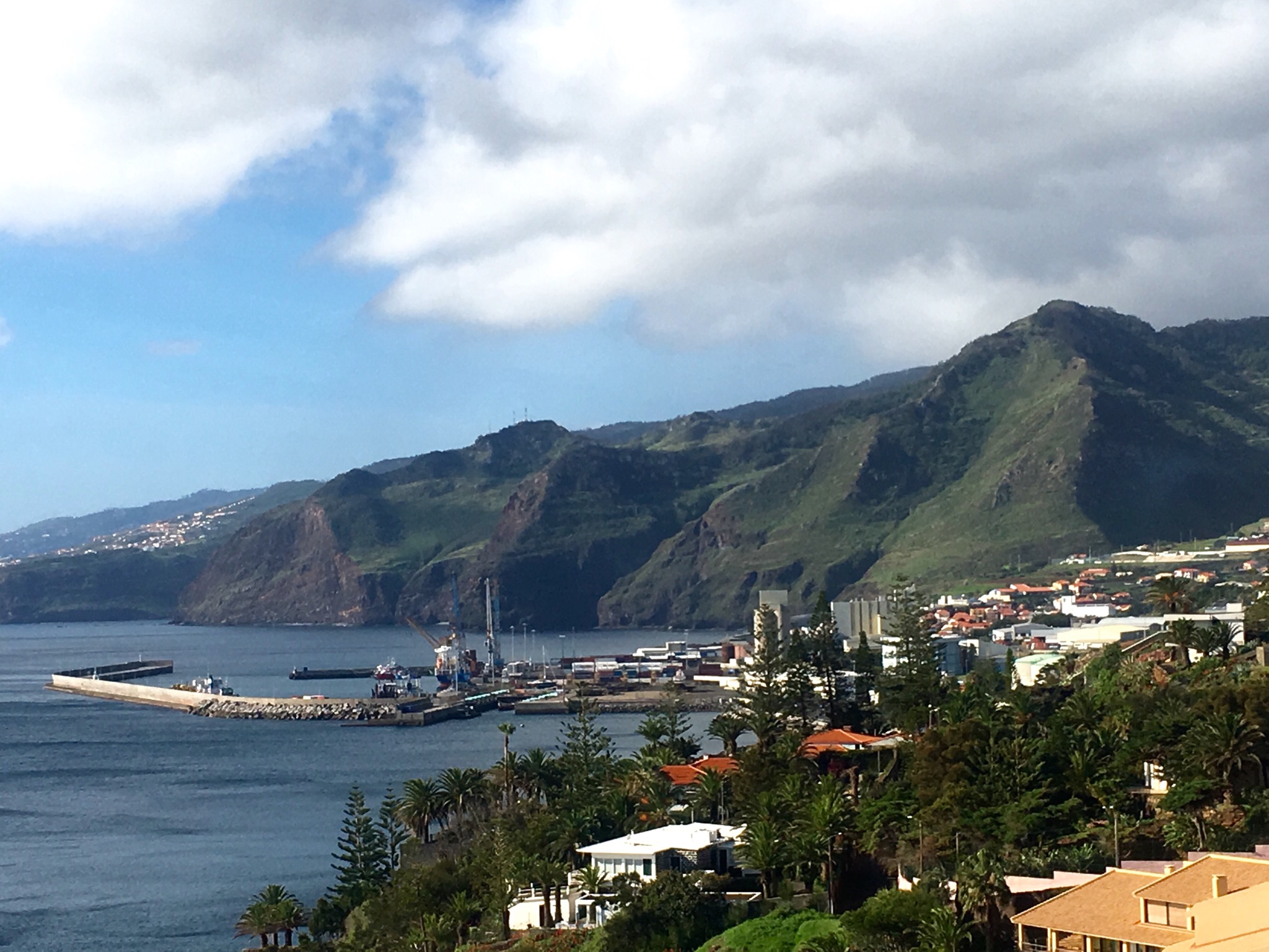
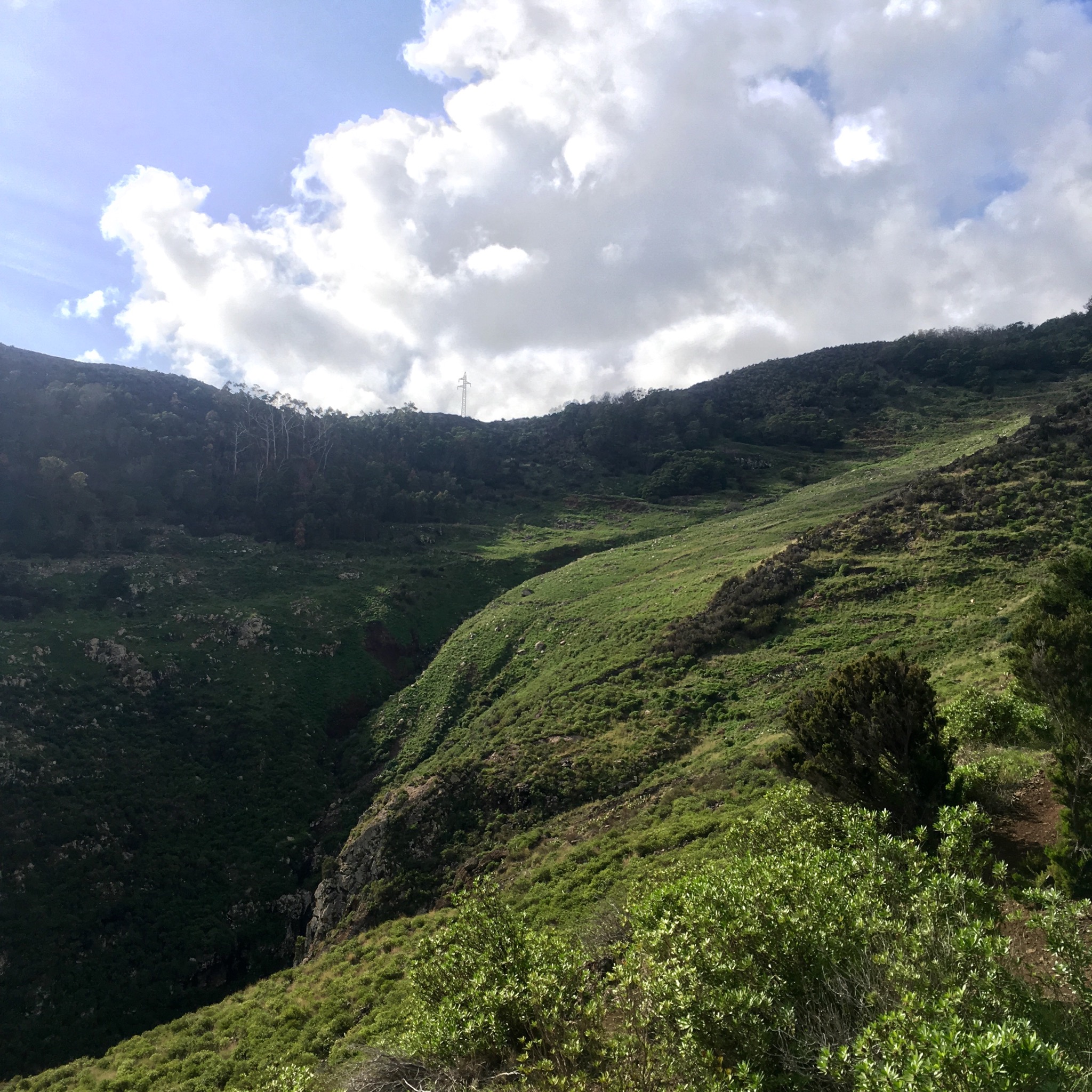
Reaching the peak of a headland we had a fine view back over the Ponta de Sao Lourenco before plunging down and across a wide hidden valley complete with cultivated terraces still being worked.

IMG_2468.JPG

IMG_2470.JPG

IMG_2475.JPG
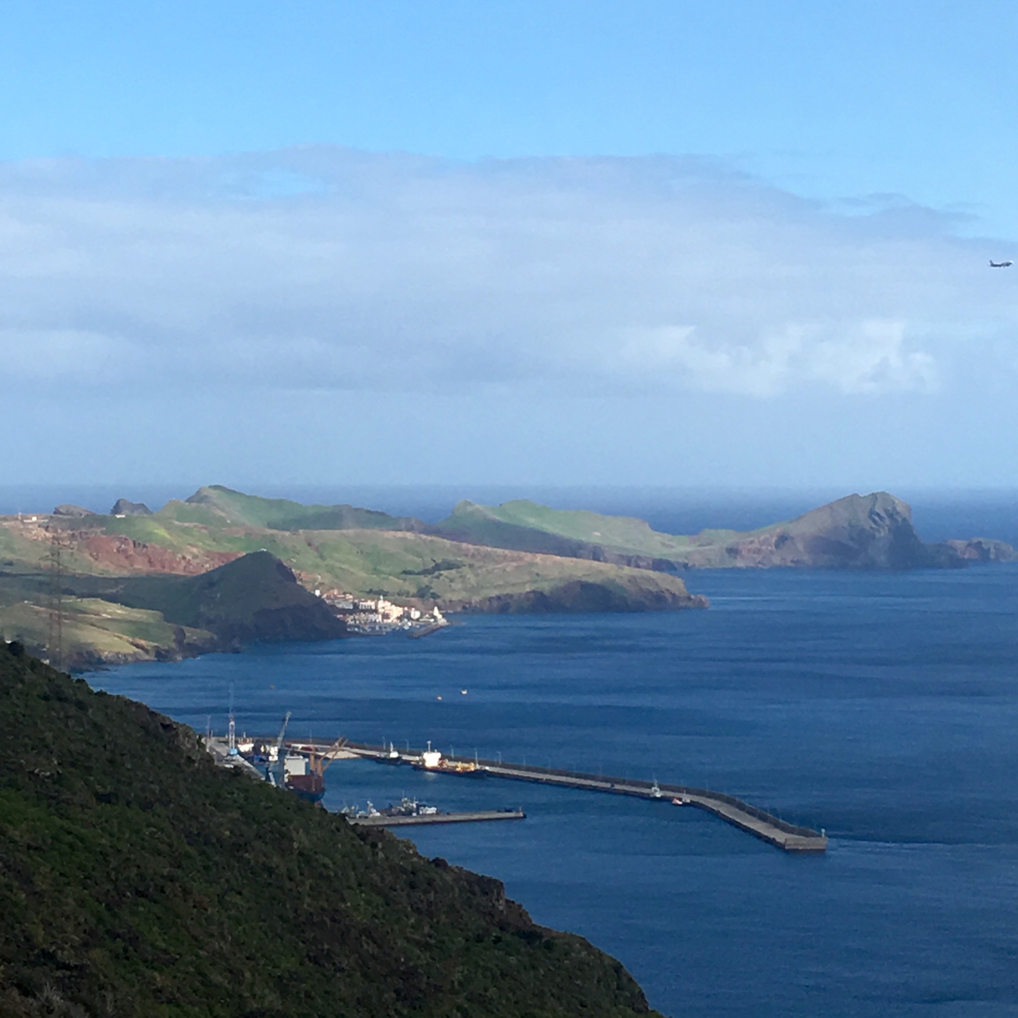
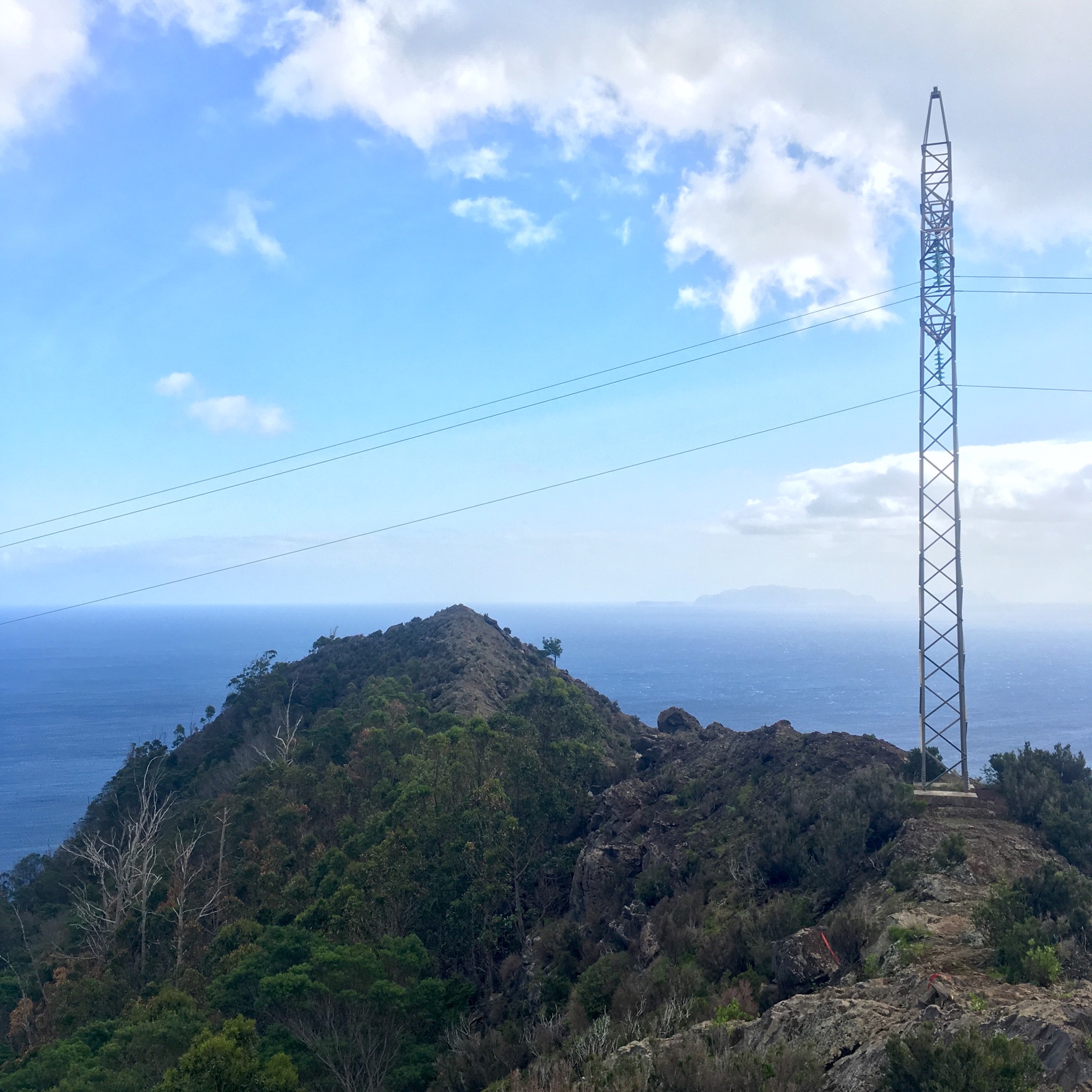
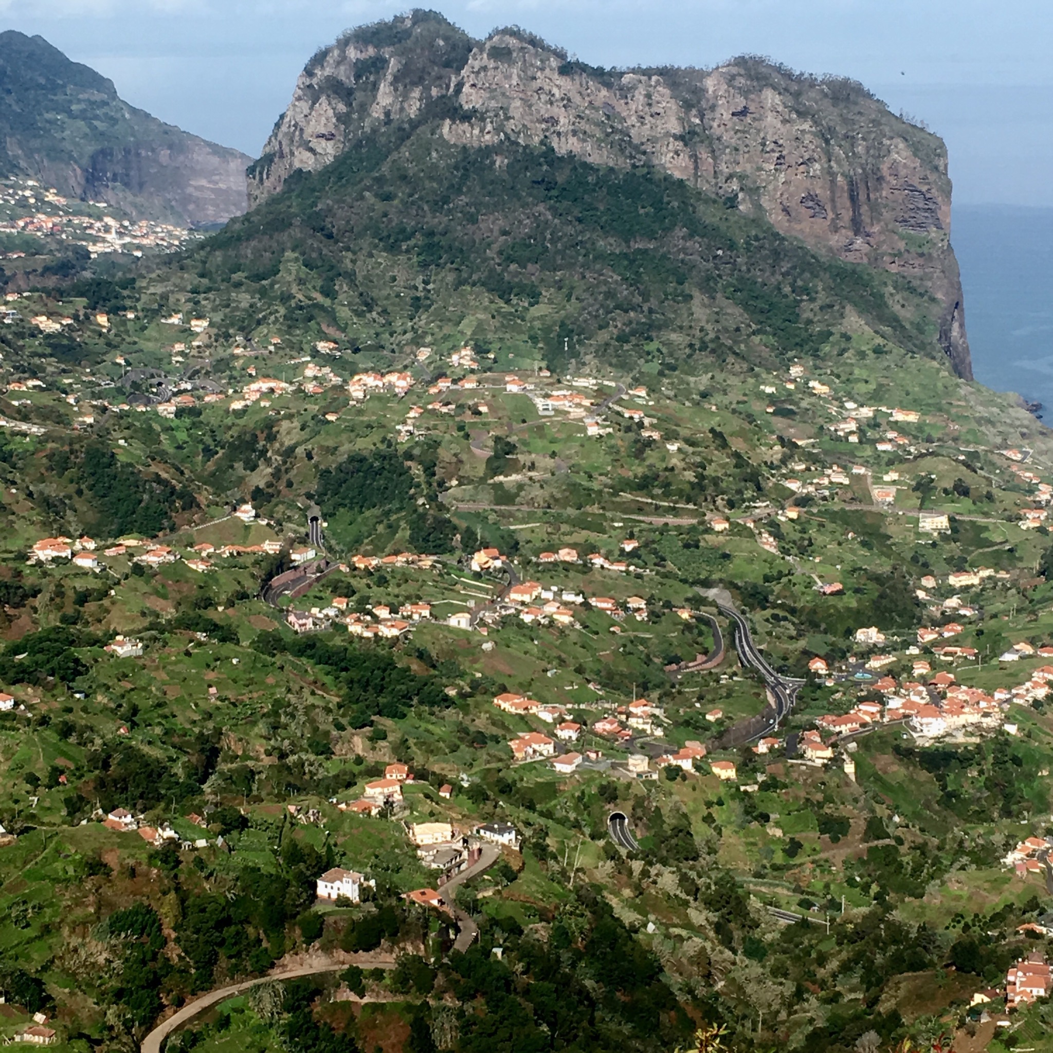
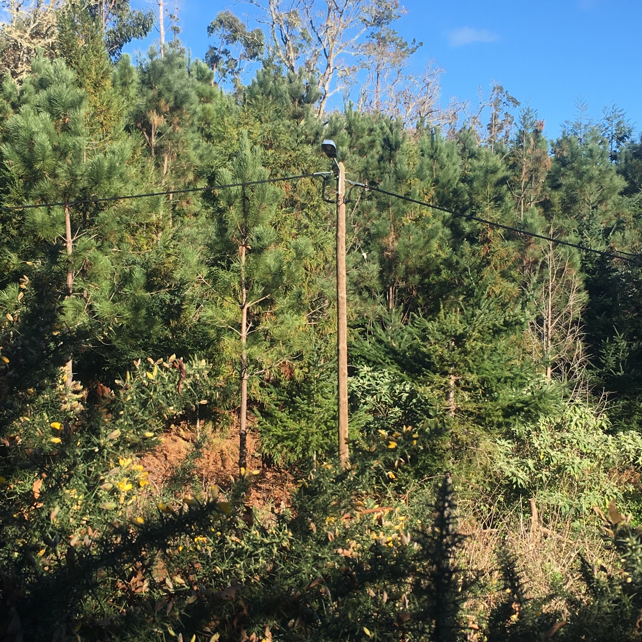
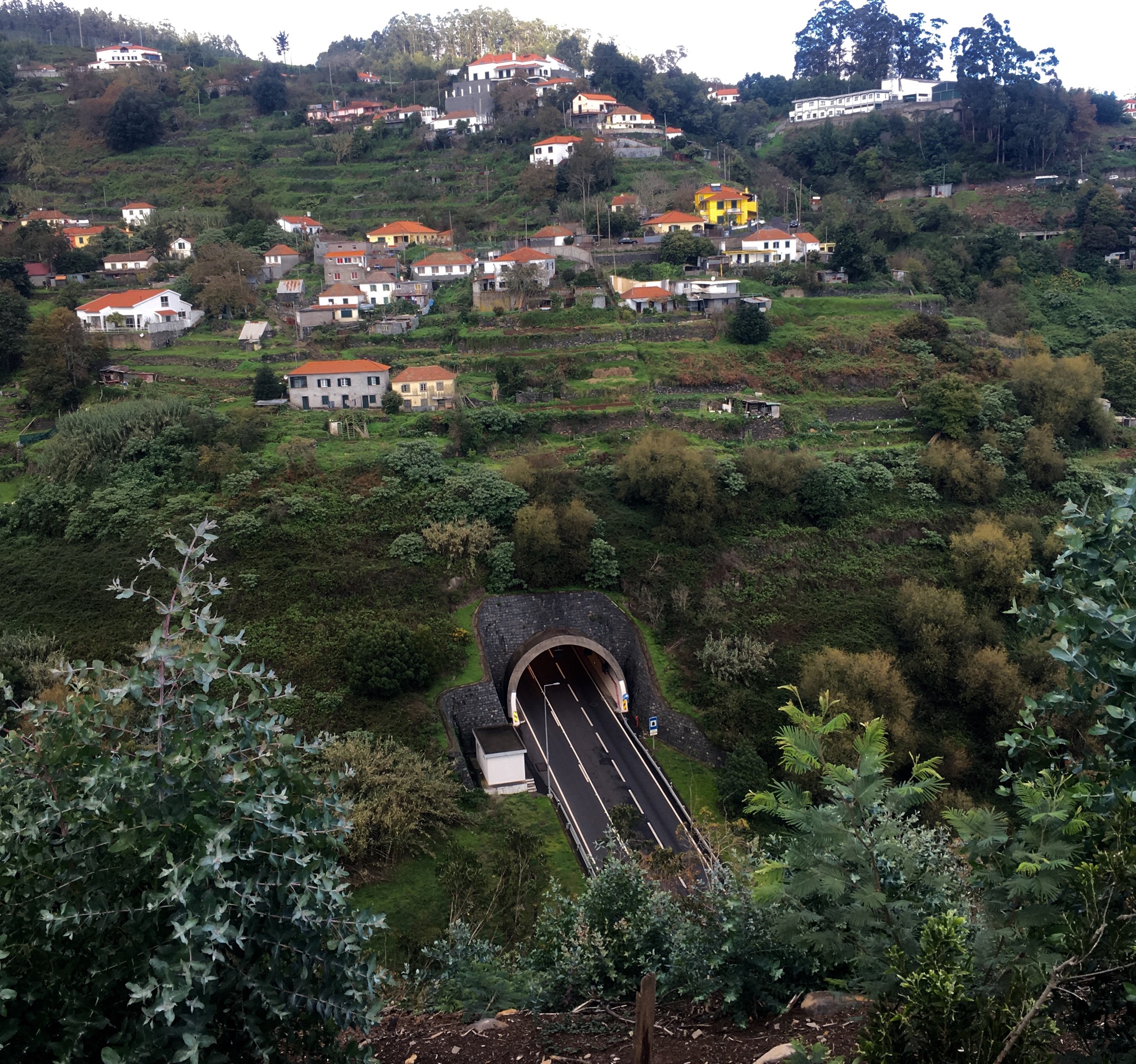
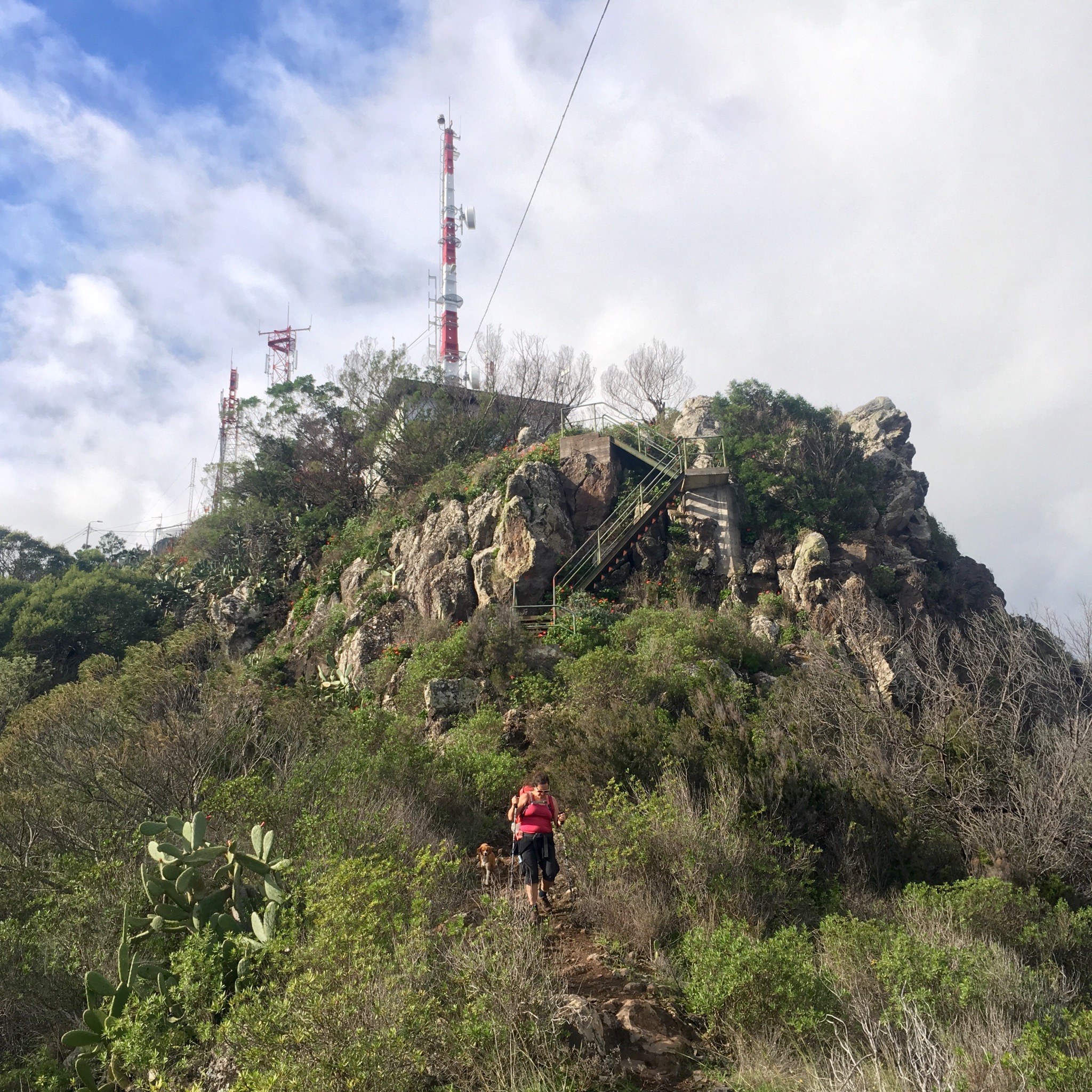
Another climb and we were passing the final pylon and up to the Pico do Facho at 323m and our first view of Machico.

IMG_2476.JPG

IMG_2480.JPG
There was a road up to here to service the masts and offer a view and a snack van satisfied my tourist needs. I’m not sure what you do in Rome but when in Madeira you eat cake and drink wine.

IMG_2482.JPG
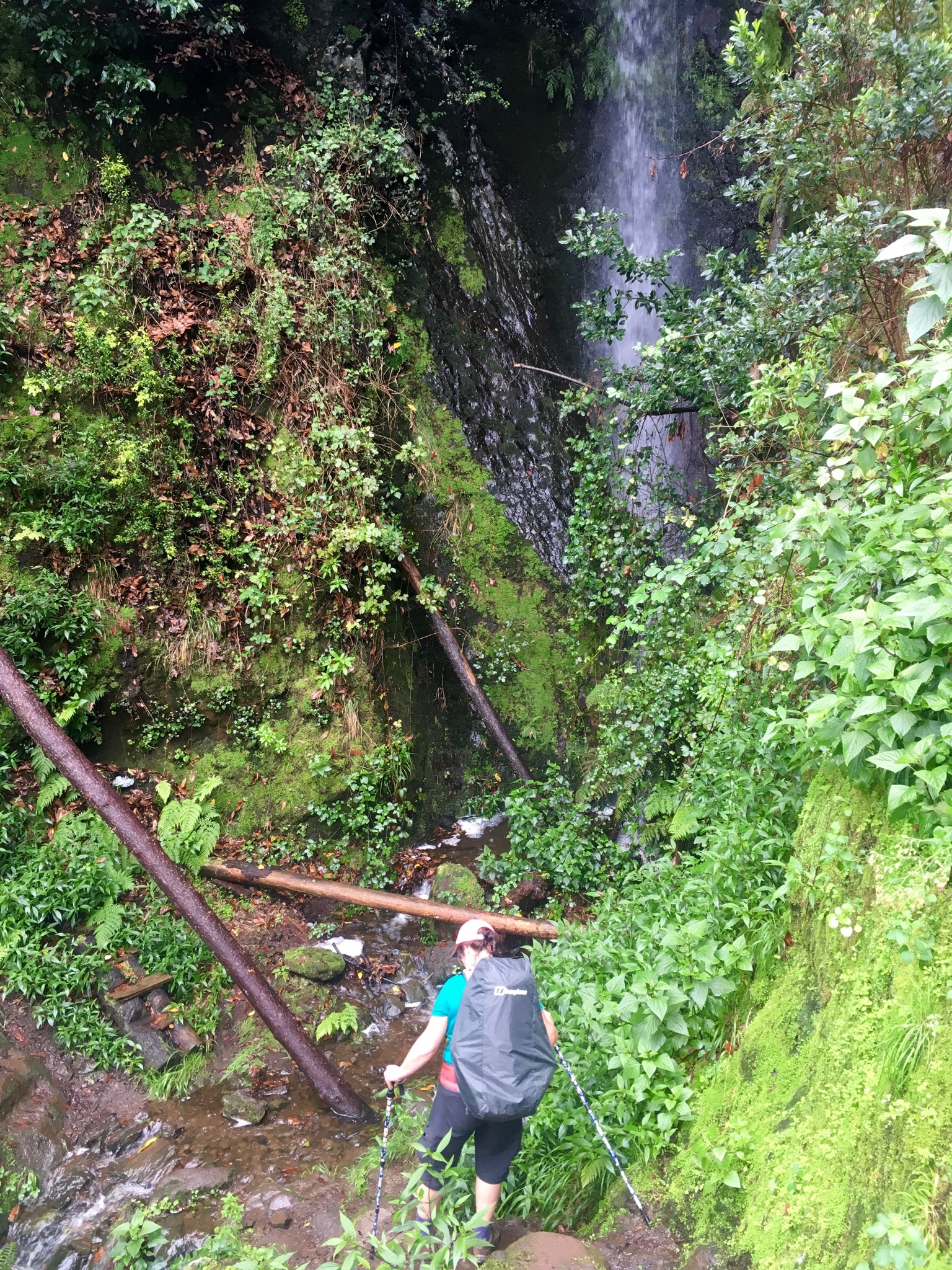
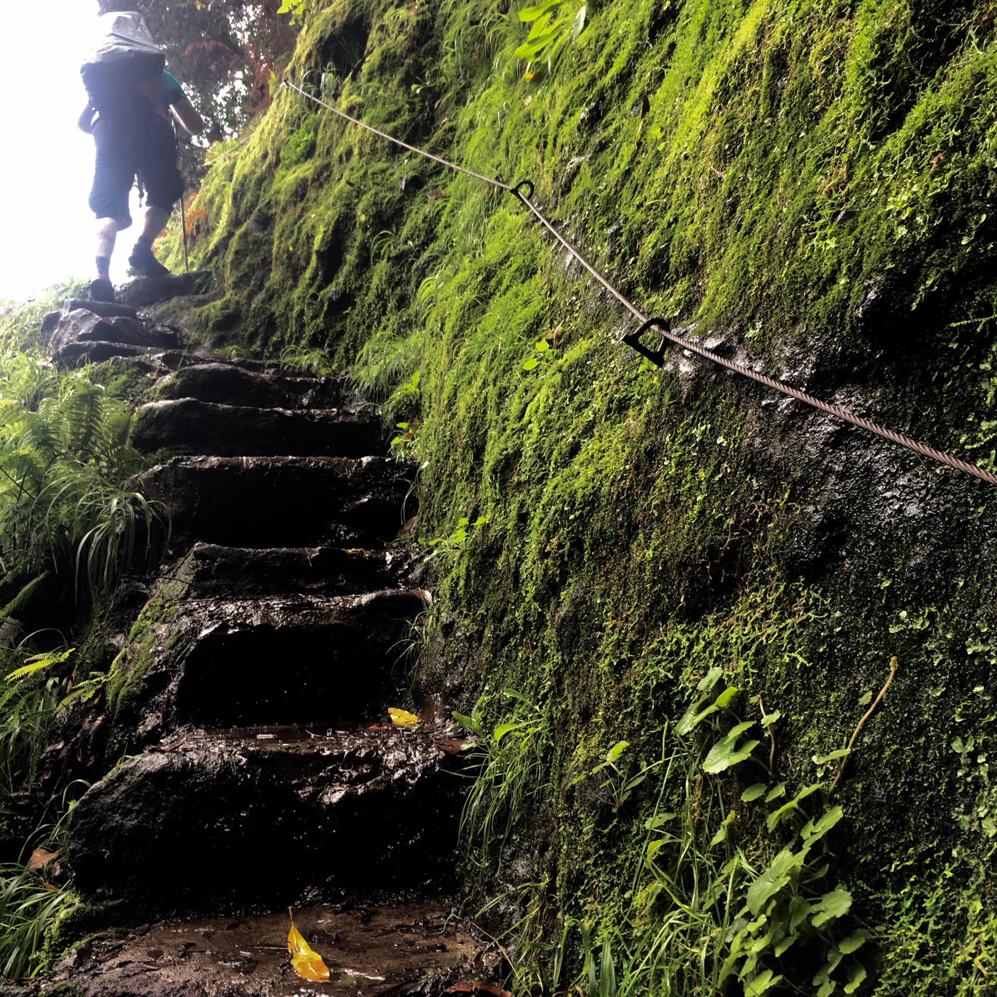
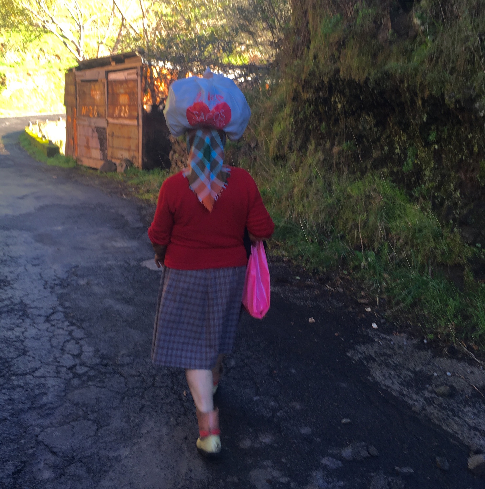
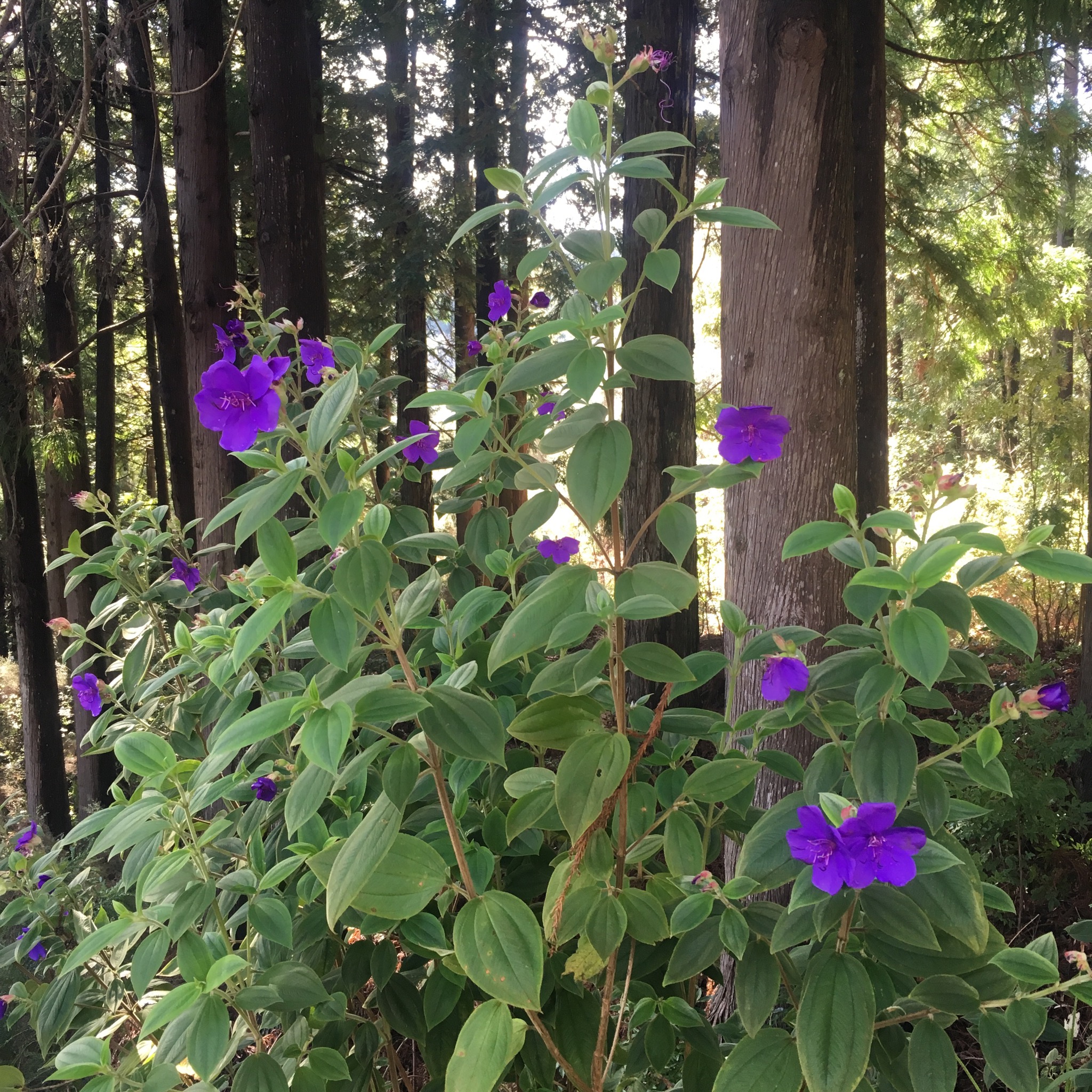
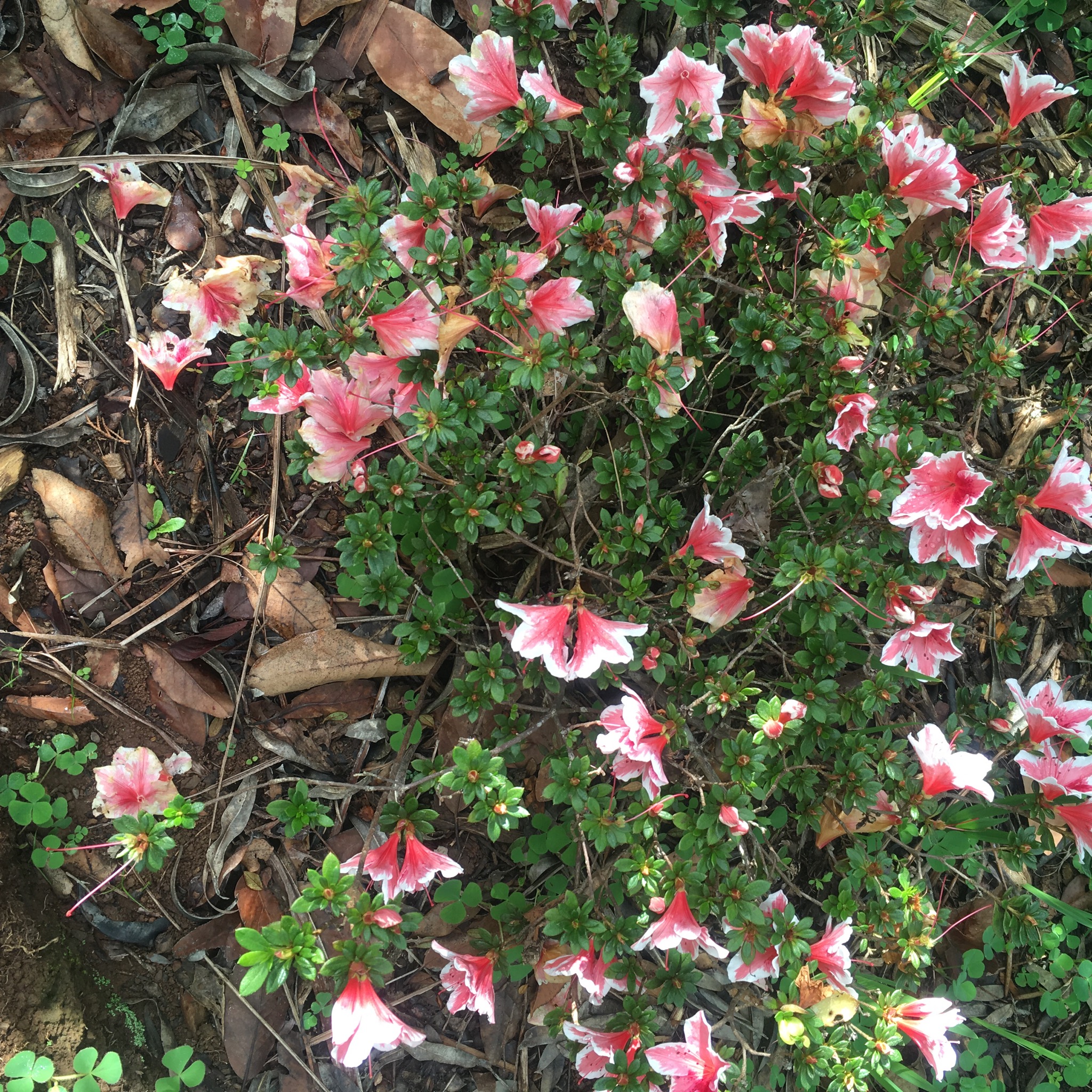
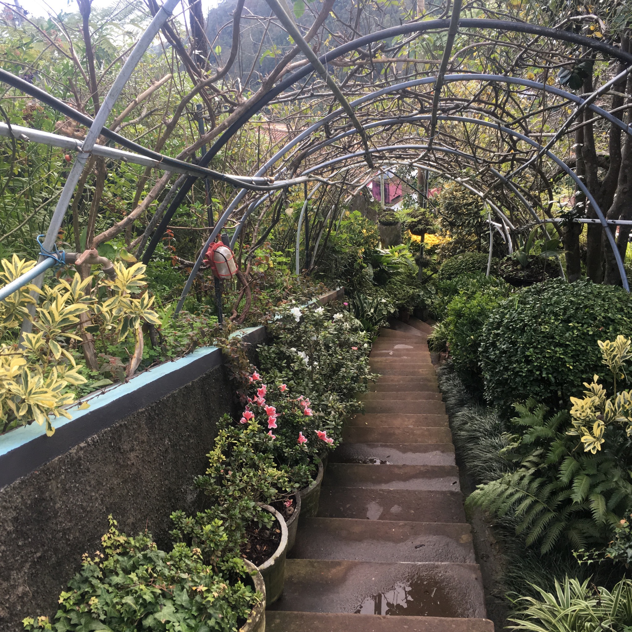
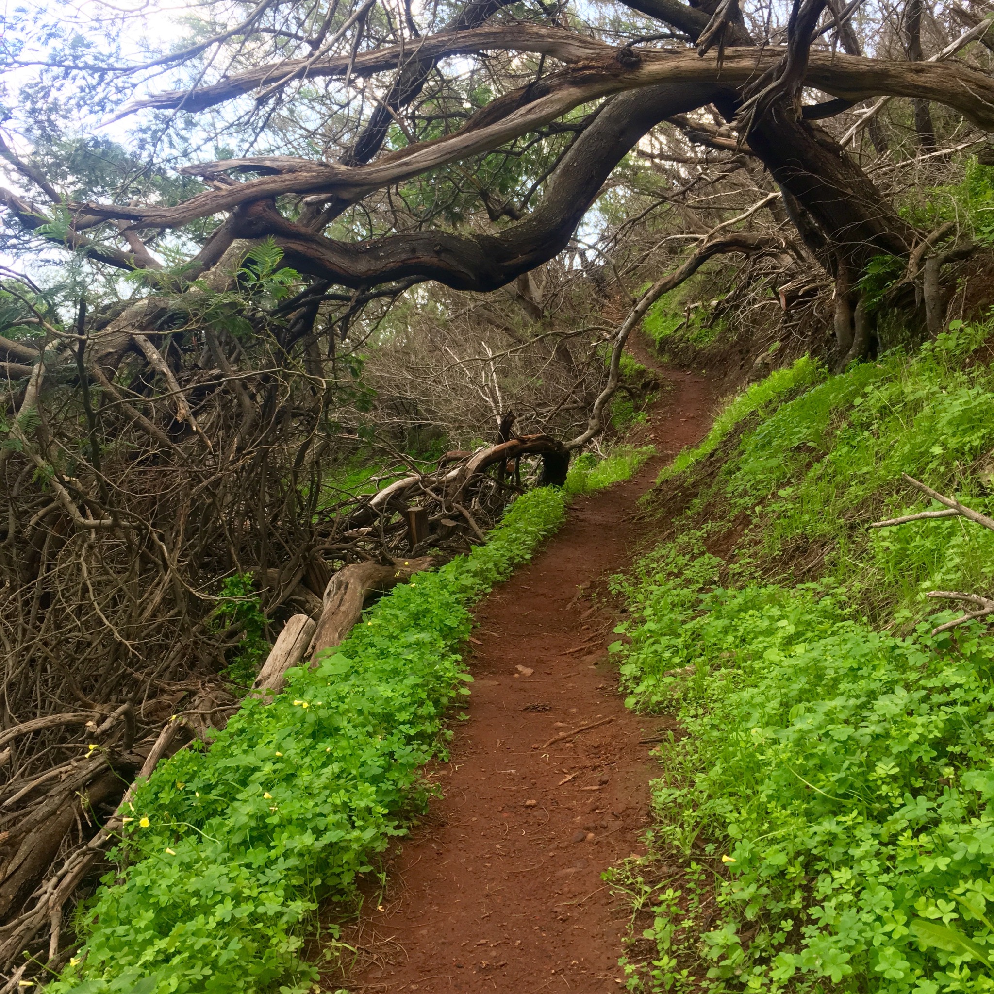
We discovered the small path we wanted to follow down and a little dog followed us past a mass of geraniums to flights of metal steps that made our life a lot easier.

IMG_2483.JPG

IMG_2484.JPG
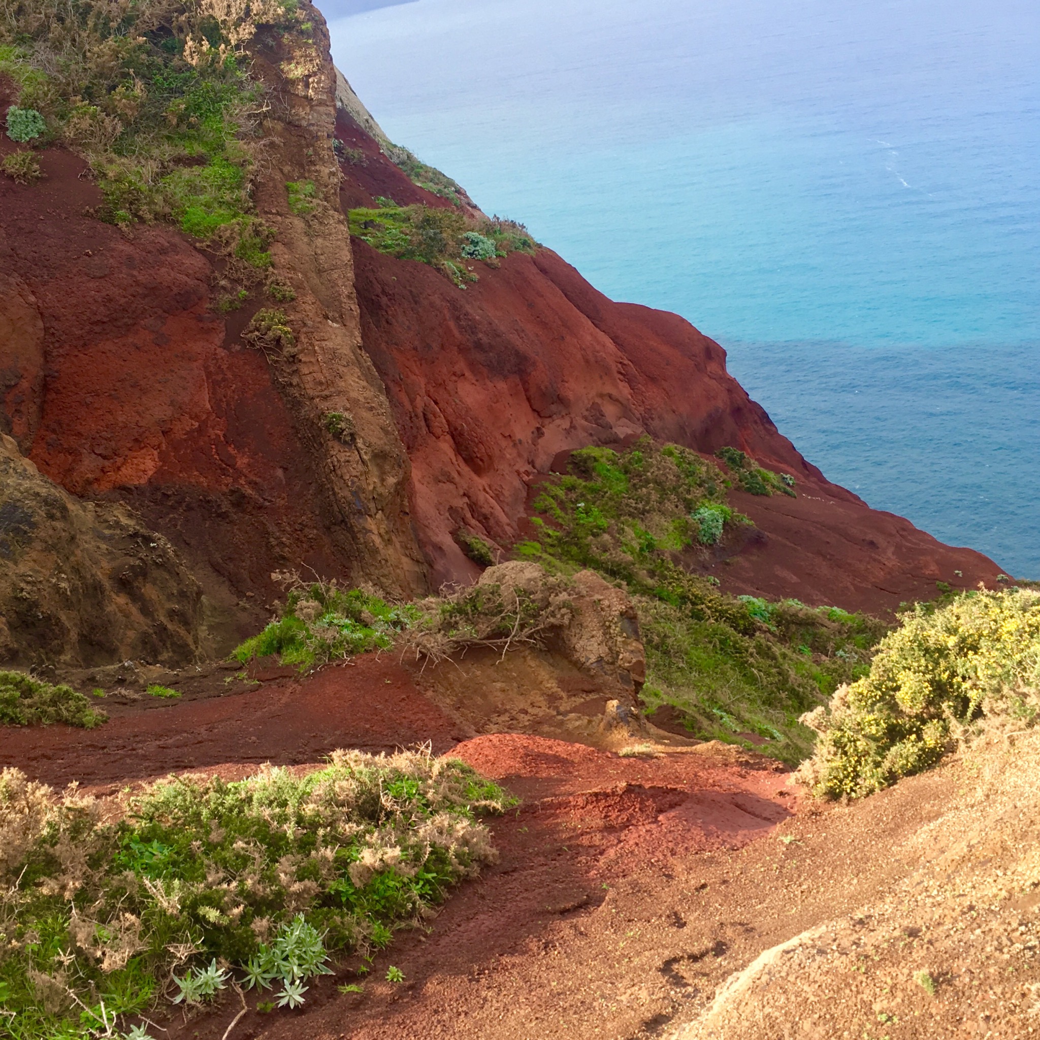
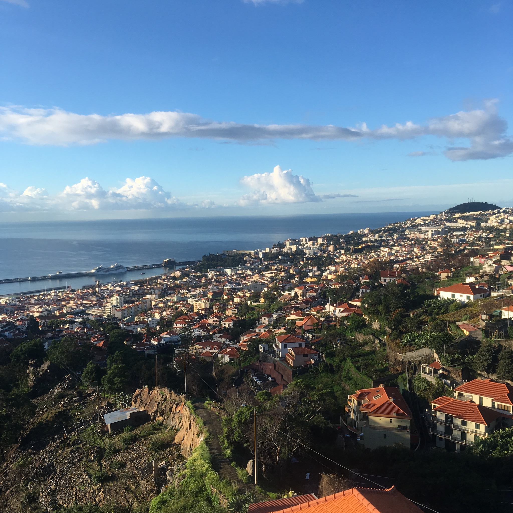
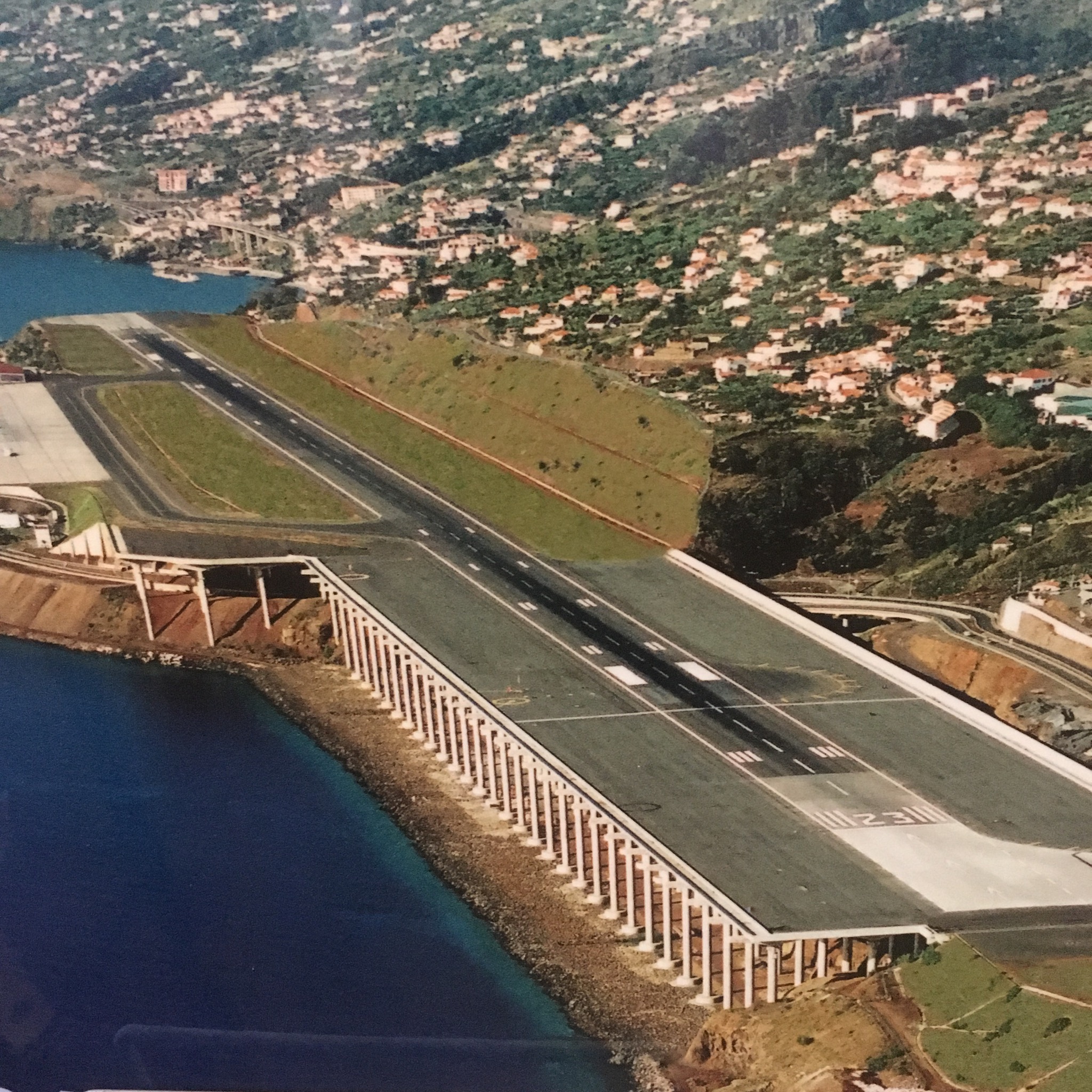
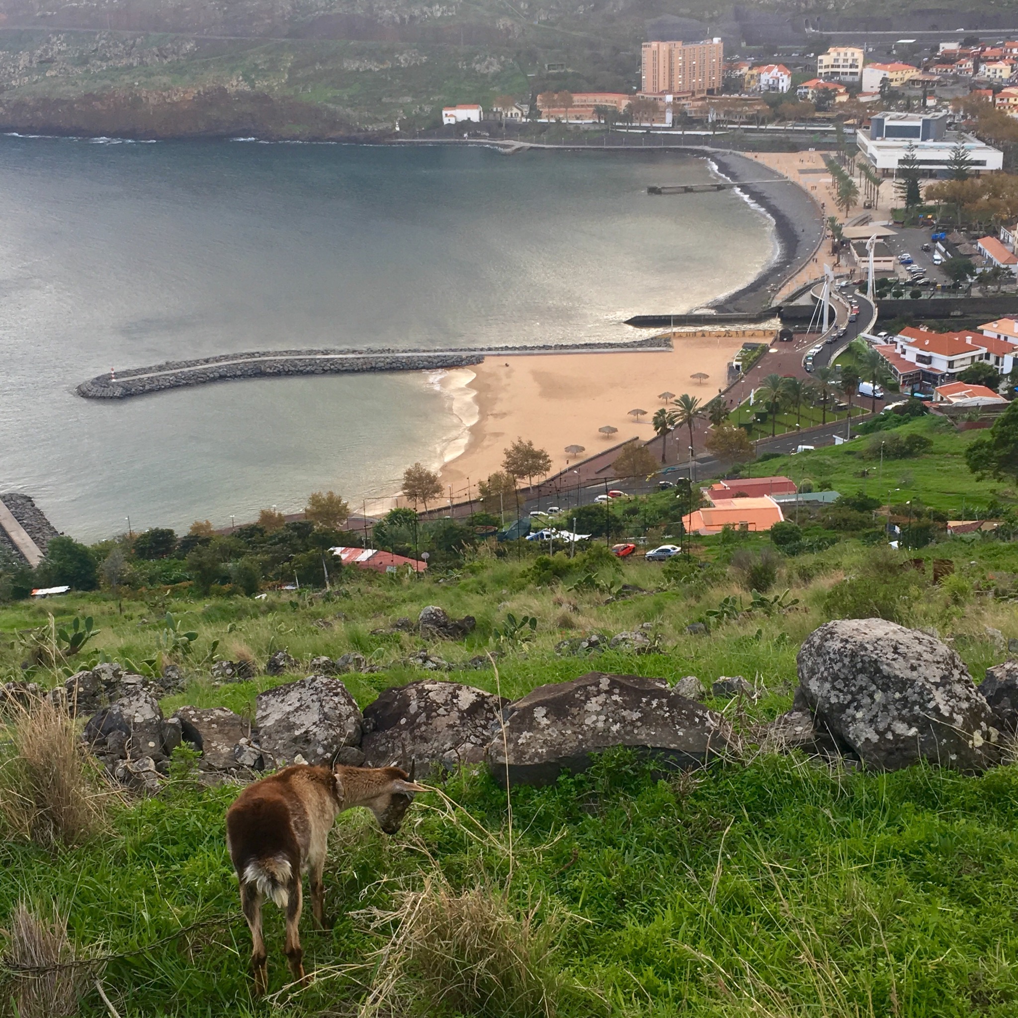
We climbed down the narrow ridge past the lights we had seen for days flashing a warning to the aircraft taking off and landing on the stilted runway that lay before us in the sun.

IMG_2488.JPG

IMG_2487.JPG
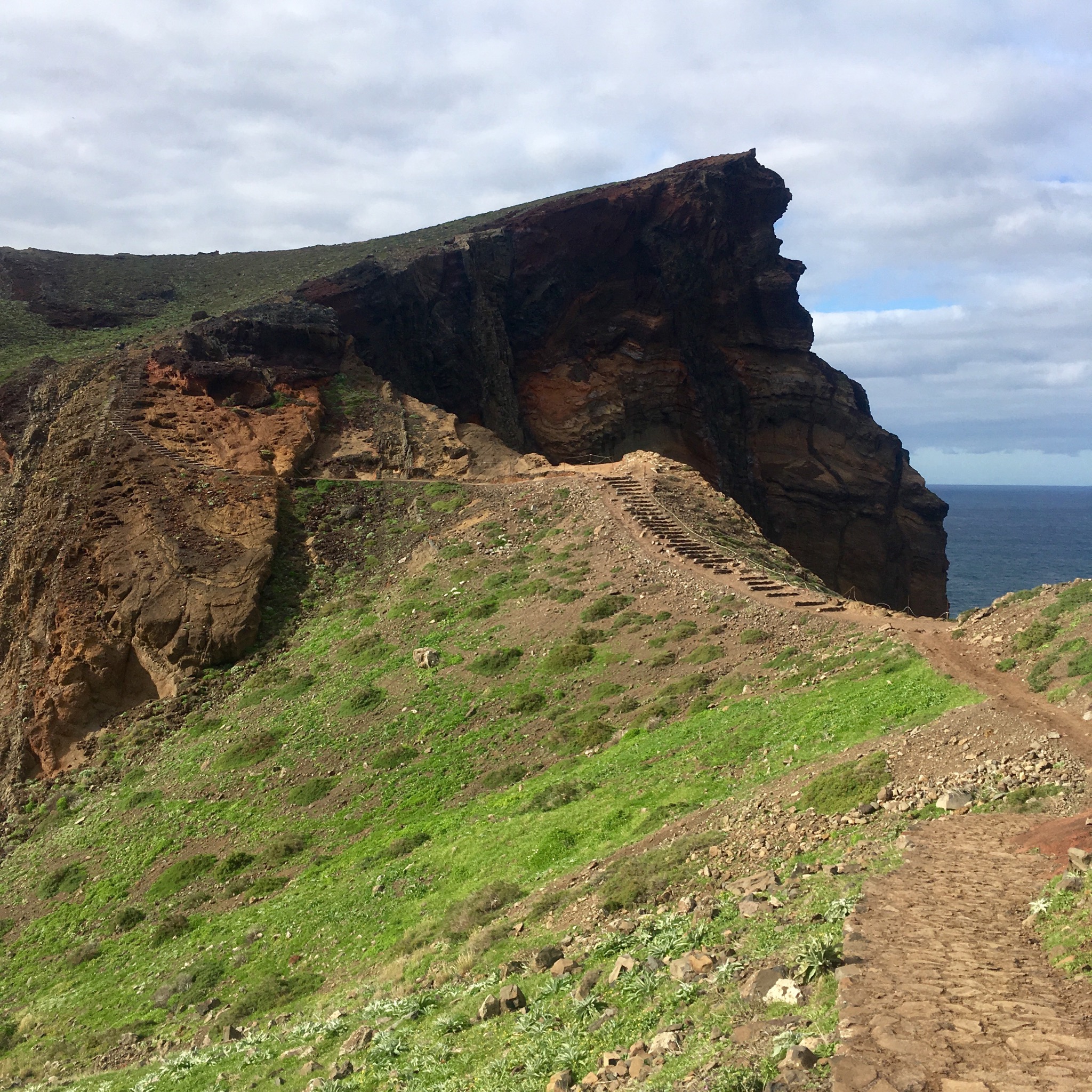
At a cliff edge we thankfully turned sharply off down a switchback path leading across a slope occasionally cultivated or grazed by goats.

IMG_2492.JPG

IMG_2494.JPG

IMG_2499.JPG
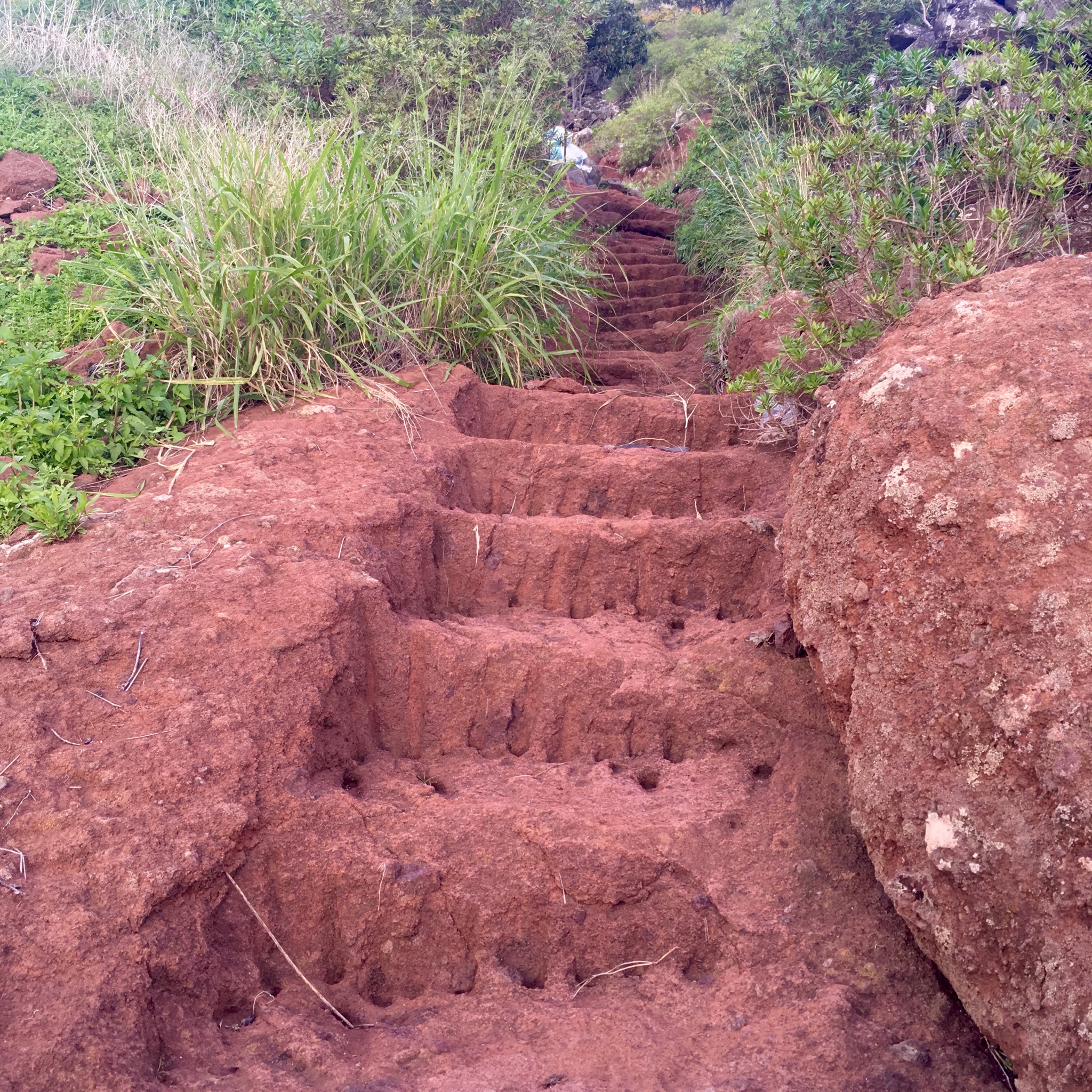
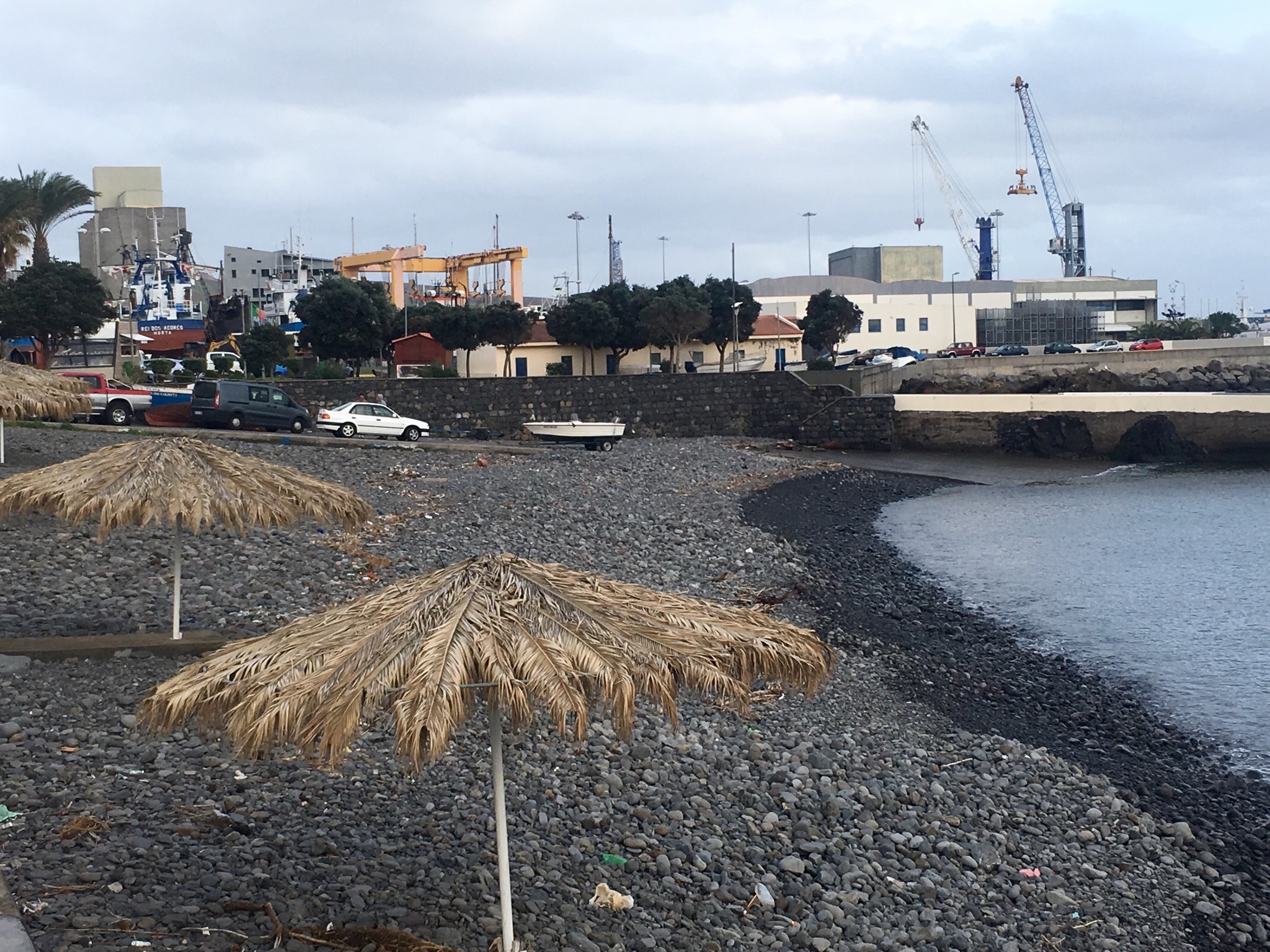
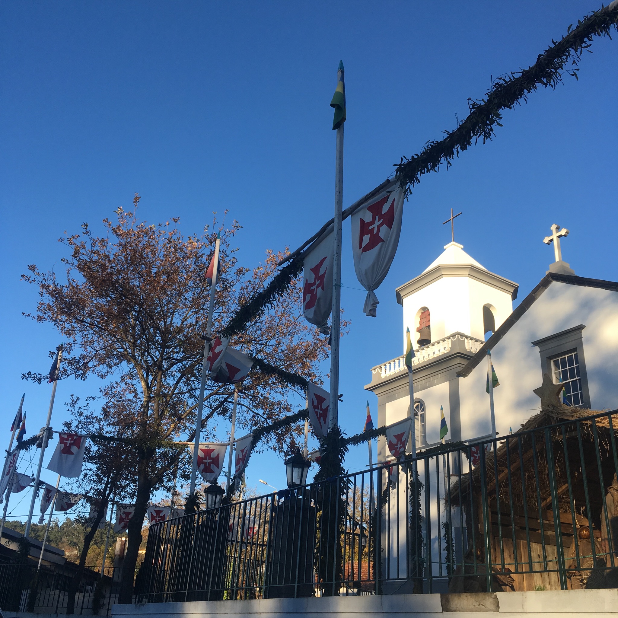
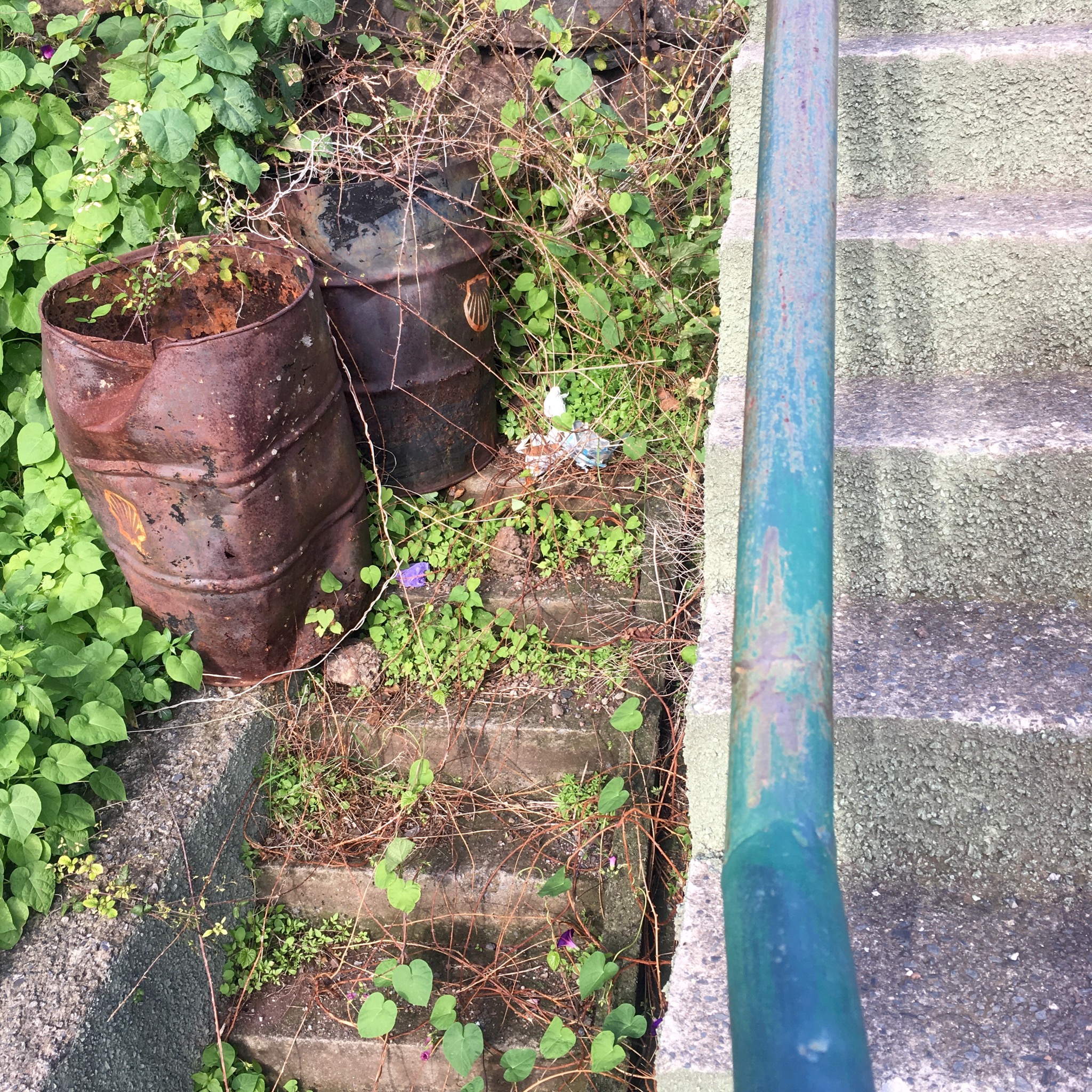
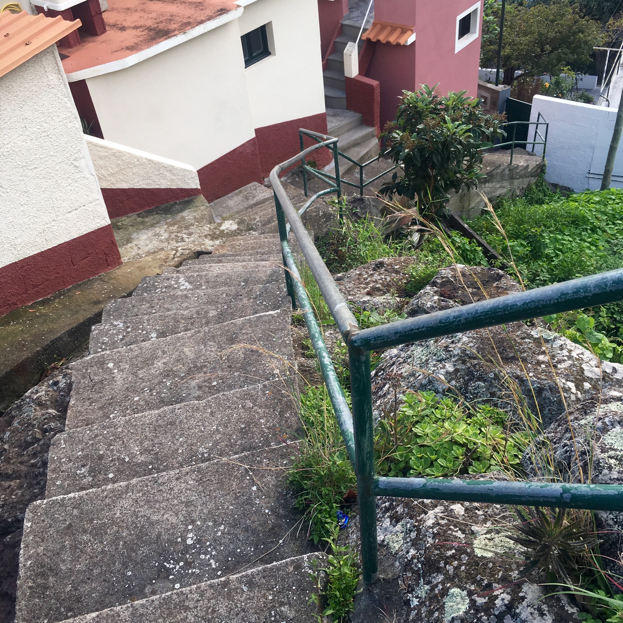
As we descended into the town with its man made beach of yellow sand from Morocco we found a labyrinth of steps leading down towards the seafront.

IMG_2501.JPG

IMG_2506.JPG

IMG_2507.JPG
After a celebration drink of a good hike well done we unfolded the map of Madeira to retrace our route and look at all the others.
There’s still a lot to do.
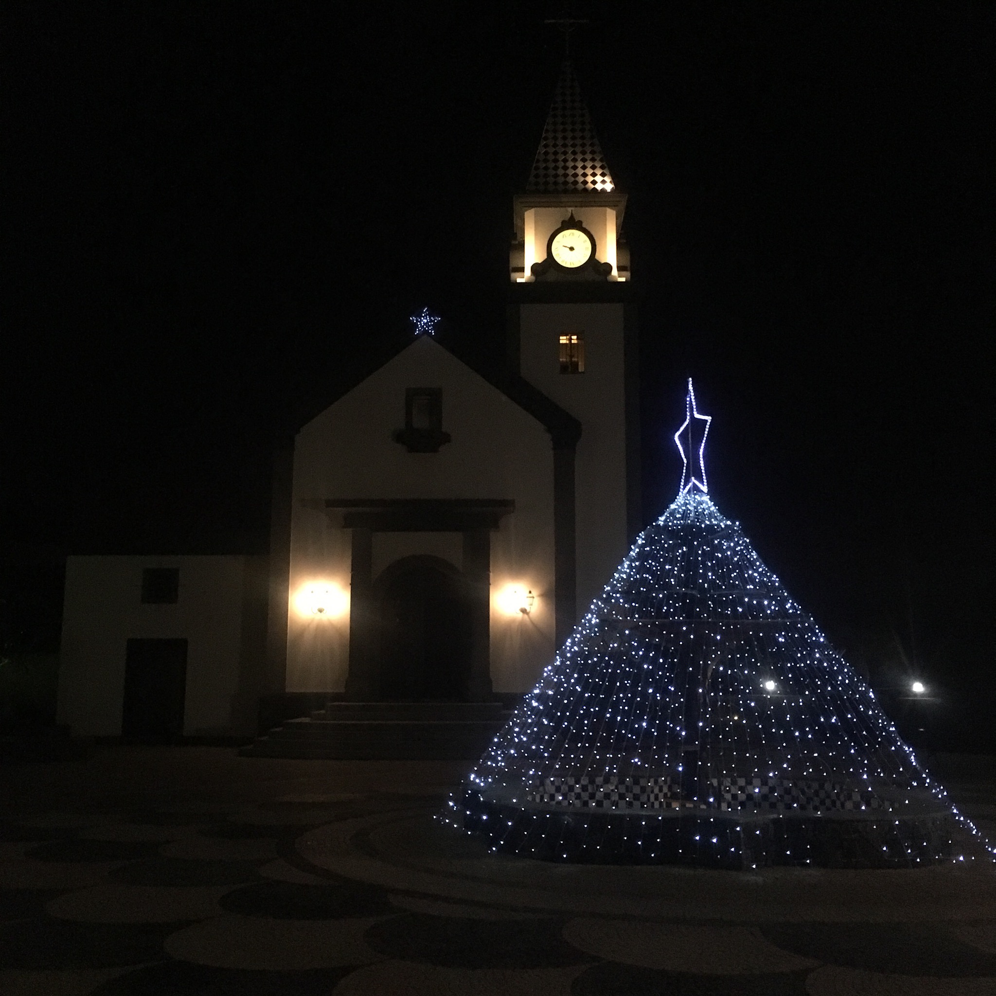
IMG_2513.JPG
Happy Christmas.

MADEIRA: Canical to Quinta do Lorde 15th December

IMG_2400.JPG
Our hiking circle around eastern Madeira continued with a 15km loop around the finger of shattered land that sticks out into the Atlantic pointing towards the Moroccan coast 600km away.
Madeira is essentially a volcanic island, and enough basalt from deep within the earth had spewed onto the ocean floor to eventually create an island rising above the ocean. activity is thought to have finished approximately 25,000 years ago, and we were going to see some fine examples of the weathered remains of all that upheaval.
We had to climb up out of town past the docks and industrial zone and an area that must have contained or produced most of the islands energy needs, with masses of oil storage tanks, windmills and a vast solar farm where the panels seem to have been laid on the ready made slopes of a conveniently angled hill.

IMG_2330.JPG

IMG_2445.JPG
Once clear of the industry the road narrowed and climbed past some fine seaview properties with exotic plantings back up to the north coast, affording us a reminder of the wild grandeur we had walked the day before.

IMG_2338.JPG

IMG_2335.JPG

IMG_2337.JPG

IMG_2340.JPG
We followed a side track up to a mirador at Pedras Brancas for a spectacular view to the east.

IMG_2342.JPG
We headed off road, skirting around the perimeter fencing of some installation bristling with masts and antenna and followed a rugged path past strange lava formations.

IMG_2347.JPG

IMG_2348.JPG

IMG_2526.JPG
We climbed down to a flat area atop the cliff edge for a view towards the pinnacles of rock in the sea at Pedra Furada before crossing back to the south and joining the main route around what is now a Natural Park, shown by the red line on the map above.
We joined a good few other folk there as there was a car park and this was a walk “to do”. Coaches released crocodiles of people to get as far as they could in the allotted time along the, at times, rugged track.
The landscape was big and thrilling enough and the season late enough for us not to worry about sharing the paths and we headed happily up the broad wooden boardwalks. There were sections of steps cut into the rock and other places where the path was supplied with cable fencing.

IMG_2377.JPG

IMG_2351.JPG
We had fine views along the coasts both north and south and back inland towards the high mountains to the west, still wreathed in cloud. We had done very well with the weather. According to an ex pat we had met there had been a lot of rain since October and there was more promised after we left. Apart from the slight drizzle at Porto da Cruz we’d had fine walking conditions, not too hot or cold and mercifully, not too windy on the narrow coastal cliff paths.
It was nice to be walking across the open country after the equally nice , but enclosed, wooded levadas.
a>

IMG_2379.JPG
Dramatic examples of classic volcanic/ geologic structures were open to view in textbook fashion. Banded colours of rock made abstract patterns of the landscape and weirdly hued and shaped lava were like natures sculpture.

IMG_2381.JPG

IMG_2388.JPG

IMG_2378.JPG

IMG_2403.JPG
The weathering by wave and wind over eons had left a place both attractive and hellish, at times a strangely alien ,but familiar,world.

IMG_2389.JPG

IMG_2380-0.JPG

IMG_2422.JPG

IMG_2426.JPG
The “Seahorses” rocks soaring like spears from the waves at Pedra Furada were different shades of grey and ochre as were the cliffs behind.
We clambered through the lava on a narrow path atop a jagged ridge at Estreito

IMG_2411.JPG

IMG_2412.JPG

IMG_2353.JPG

where we were astride the north and south of the island simultaneously in some kind of metaphor of our journey through the week.
We picnicked at Pico do Furado, the eastern end of our trip before turning back and retracing our steps against a rising tide of walkers.

IMG_2386.JPG

IMG_2406.JPG

IMG_2393.JPG
After a welcome drink at a stall in the car park we followed the Tarmac road back and shorty arrived at our plushest accommodation. A bargain on Booking.com the 5* Quinta do Lorde Hotel/Resort/ Marina had obviously been some big developers wet dream during the boom but sadly had not fulfilled the fantasy. Laid out to resemble some ideal village it in fact was like something out of The Prisoner, the surreal tv show shot in Port Merrion’s strange surroundings.

IMG_2428.JPG

IMG_2416.JPG
The layers of villas and apartments arranged up the slopes were seemingly empty and forlorn whilst the hotel in the centre did its best to appear a going concern. We did what we could to behave like the attractive middle aged couple in the advertising video showing in the reception lobby, and had a dip in the pool adjoining our room, ambled around the many plazas, admired the infinity seawater pool and drunk a gin and tonic in the marina bar.

IMG_2431.JPG

IMG_2423.JPG

IMG_2418.JPG
There were electric golf cars for driving the few guests about and we kept a wary eye out for giant white balls bouncing menacingly towards us.
As the sun set and the Christmas tree lit up outside the church (Presumably built for the wedding market) we retired to our second luxury bed of the trip with the wonderful peninsular of Ponta de Sao Lourenco stretching out its finger into the darkness.

IMG_2437.JPG

IMG_2442.JPG

MADEIRA: Porto da Cruz to Canical 14th December

IMG_2241.JPG
The plan was to carry on down towards Porto da Cruz but to peel off on a minor road above the coast towards the east and follow trails as far as we could along the cliffs on this wild north coast before dropping down south again to Canical. A distance of about 20km again but involving a lot more ups and downs.
We’d been listening to the rain during the night and it was still coming down whilst we had our breakfast ” below stairs” but by the time we’d donned our packs and set out it had decreased to a light drizzle and before long had turned into what we at home would call” a fine soft day”.
The road down towards the sea was very steep so we took it handy past the houses with their fancy corner roof tiles and drying pumpkins.

IMG_2262.JPG

IMG_2247.JPG

IMG_2243.JPG

IMG_2246.JPG
There were quite a few heaps of crushed sugar cane that we thought must be animal feed and little stands or crops of sugar cane and after getting down to the sea and starting up another steep slope we were hailed by a friendly local who insisted on having us in to sample her sugar cane hooch.

IMG_2255.JPG

IMG_2250.JPG

IMG_2249.JPG
It was very pokey and she crushed some cane into juice to wash it down with. A fine start to a demanding hike.
We clambered on up the hill with the woman’s cheers of encouragement fading behind as we past through the little hamlet of Larano and a bar we had no further need of.
The moisture in the air helps a variety of plants to thrive including the mandala like succulents that were our favourite, clinging flat to the rock faces

IMG_2259.JPG

IMG_2285.JPG
To our right we could look across the wooded valley of Ribeira do Seixo with some remote little homesteads and a fine waterfall in the woods.

IMG_2264.JPG

IMG_2265.JPG
The Tarmac road became a concrete one as we climbed past the last houses, then a gravel track as we reached the top 350m above Cova das Pedras where a cable car still stands, allowing access to some very inaccessible terraces way way below.

IMG_2270.JPG

IMG_2268.JPG
There were lines of grapes for Madeiran wine being cultivated up top too as as we moved along what had now become a narrow path we saw that any ground possible for use was put to the mattock.

IMG_2271.JPG
After the nights rain there was plenty of water about to feed the streams and waterfalls that ran and fell across the twisting path and slippery rocks meant that attention needed to be paid to where we put our feet rather that gaze slack jawed at the awesome views of the coastline.

IMG_2284.JPG

IMG_2279.JPG

IMG_2276.JPG

IMG_2275.JPG
The tiny path snaked around the gullies on the sheer mountainside flanked by thick woods of mimosa, eucalyptus , pine, giant heather, gorse and laurel. At one point steps had been cut into the Rock and a hand cable helped the steep climb.

IMG_2280.JPG
As we emerged from the enclosing tree cover into clearer grassy slopes we rounded a prominent headland that opened up new even more exciting vistas that the icamera cannot capture. Far below, on a 60 degree slope were some more bizarrely situated vegetable plots.

IMG_2284-0.JPG

IMG_2294.JPG
We hugged the towering cliffs of fantastical hues, born in the cauldron of volcanos, to avoid the pull of the immense drop into the thrashing azure seas. The path was narrow and there was no avoiding the showers from waterfalls cascading from high above.

IMG_2288.JPG

IMG_2286.JPG
Heading back into a thickly wooded area of laurel, mimosa, giant heather, and gorse we were without views for awhile before emerging again and looking back at the thin line of our path etched faintly into the landscape.

IMG_2290.JPG
We reached another open headland at Boco do Risco where the main path turned south. We were heading up and on along a lesser known and used trail that continued following the crest of the north coast. We past another isolated small holding as we headed higher to spectacular views east and west.

IMG_2297.JPG

IMG_2301.JPG

IMG_2296.JPG
The colours of the rocks and soil was dramatic as we picked our way across the bizarre landscape.

IMG_2304.JPG

IMG_2310.JPG

IMG_2309.JPG
Eventually our trail had to turn away from the colourful cliffs and we made our way down through cleared eucalyptus woods and into the suburbs of Canical, a busy industrial seaport with an incongruous beach scene.

IMG_2320.JPG

IMG_2316.JPG
It had been a fine days hike but demanding on the legs and they were grateful to be carrying us the last few steps past the local domino players to our Airb+b.

IMG_2319.JPG

IMG_2321.JPG
With a cheap but excellent seafood restaurant downstairs it was time to think about food and then with the birds home to roost and the last flights coming in, time to think of bed.

IMG_2331.JPG

MADEIRA: Santo da Serra to Porto da Cruz 13th December

With a short hike of only 12km to do we took it handy in the morning and didn’t get on the road till 9.30. We had to retrace up steps up to the levada at Lombo das Faias so we headed out past the roundabout with a tribute statue to the cider making industry of the area.

IMG_2147.JPG
The track up beyond the bull and the trout ponds was strangely coloured as it climbed through the big cedars. >
IMG_2152.JPG
Where we rejoined the waterway there was a water tower and system of sluices sending the clear cold life giving liquid a variety of ways. Dated 1906 the tower was a favourite rest stop for hikers who sat under the fantastically contorted cedars.
IMG_2157.JPG

IMG_2155.JPG
On the way there had been the usual mass of flowers coveted at home including nasturtium , hydrangea and agapanthus which are both used to hold the soil together on the steep slopes ,and for the first time, dahlia. As we entered the dark laurisilva forest we came upon species of bay and tree heathers, Madeira mahogany and what looked like Arbutus. Somewhere lurking in there were other trees we could not identify like the til, lily of the valley tree and wax myrtle. There were also some impressive tree ferns and on a smaller scale, lots of little mosses and liverworts beside the water.

IMG_2150.JPG

IMG_2164.JPG

IMG_2159.JPG

IMG_2178.JPG

IMG_2181.JPG
Passing a small tunnel and crossing a stream bed we reached another water tower at our journeys highest point, 862m where other paths led off into the mountains. We however were now going to follow the Levada da Portela down and down to Portela at 600m and then down paths to Quinta da Capela at about 300m.

IMG_2163.JPG

IMG_2165.JPG
After a steep descent we emerged at the foresters post and picnic site at Lamaceiros where a hardy type axed logs and azaleas and other glories surrounded his home.

IMG_2169.JPG

IMG_2166.JPG

IMG_2168.JPG

IMG_2171.JPG
As we moved down there were more gaps in the canopy to view the distant mountains through and the sights were impressive.

IMG_2175.JPG

IMG_2173.JPG
Down a series of timber pole steps

IMG_2179.JPG
we reached the viewpoint and bars at Portela where we soaked up the view of the northern coast and Porto da Cruz before having a coffee and buying more flower bulbs and some unknown fruit and veg like apple custard.

IMG_2185.JPG

IMG_2190.JPG

IMG_2187.JPG
One of the bars sported the first thatched roof we had seen although they are traditional and feature heavily on tourist souvenirs.

IMG_2191.JPG

IMG_2192.JPG
(I’m afraid the last section of this blog, the tale of the journey from Portelo to Santo da Cruz, got sucked into some data limbo land and was never seen again so I’m attempting to write it again)
We also sampled some of the local cider which turned out to be dry, flat and a bit sour like scrumpy. It was also strong and so probably not the best thing to be drinking before we started the long long descent of the Camino Municipal. It was an exquisitely crafted cobbled stairway but it was very steep and very long.

IMG_2195.JPG

IMG_2197.JPG
As it careered around a bend we got a fine view of Eagles rock, a big brutish lump of rock rising sheer out of the sea above Santo da Cruz.

IMG_2201.JPG
The north side of the island was even lusher than what we had been in so far. The trade winds mostly come in from the northeast and drop their load on the mountains sticking their fingers up to them. There was water running and dripping everywhere and it all looks lush. A wider variety of plants than in the eucalyptus forests and the bird life seemed to appreciate it. We heard more birdsong than we had.
The little homesteads clinging to the hillsides cultivated every inch they could, and with a huge array of crops, a lot of which we couldn’t recognise. And there were flowers everywhere.

IMG_2207.JPG

IMG_2208.JPG

IMG_2218.JPG
Eventually, after a couple of Km of slippy steps we made it down onto a flat road where we turned toward our sanctuary for the night, a 17th century house with adjoining chapel perched on a knoll high above the road with views down the valleys to Santo and the sea and back up into the tree clad peaks.

IMG_2222.JPG

IMG_2212.JPG

IMG_2216.JPG
The wonderful old house was looked after by a wonderful old lady who after showing us our room and the “below stairs” kitchen, left us to it.
So we had tea in the gardens

IMG_2217.JPG
And later cooked dinner in the 300yr old kitchen.

IMG_2226.JPG
The food and fine wine and days walk meant that when we later climbed up into our bed made for nobility, we slept as only nobility can.

IMG_2224.JPG

MADEIRA: Camacha to Santo da Serra 12th December

IMG_2076.JPG
The day dawned with a line of cloud out to sea hanging over the Desertas.
Our 20km hike for the day started with a climb out of the village, past the church with it’s Christmas crib.

IMG_2079.JPG

IMG_2080.JPG
We were going to gain over 200m over the day and most of that was in the first few km. We had left the Levada dos Tornos behind and were climbing up to join the higher Levada da Santo do Faial. On route we past a motley collection of dwellings and gardens including the very modest number 54.

IMG_2083-1.JPG
We joined the sunlit and oak lined levada and wended our way around a steep and narrow valley, crossing a stream and admiring the gardens, and a gardener making his elderly way up the steep cobbled steps between his plots.

IMG_2088.JPG

IMG_2085.JPG

IMG_2090.JPG
The levada was an old stone built one unlike the concrete of the Tornos but was dry as it made its way around the terraced valley before disappearing into a tunnel and leaving us to walk a quiet road for a few km through the little hamlet of Ribeiro Serrao. There were more ingenious aids to gardening on the steep slopes including corrugated iron slides and tyre terrace walls. No space was left untilled.

IMG_2097.JPG

IMG_2095.JPG

IMG_2096.JPG

IMG_2091.JPG
One house perched high above the road had an electric winch for hauling up the shopping and whatever and we were overtaken by an old lady carrying her shopping on her head.

IMG_2099.JPG

IMG_2104.JPG
The surroundings were deeply peaceful and rural and the only sound came from the splashing and gurgling river below. The local bus network was very impressive however with request stops every couple of 100 m.
It wasn’t long before we were off again through the woods of oak, chestnut and eucalyptus which, in the dappled sunlight, reminded us strongly of hiking the Bibbulmen trail in Western Australia.

IMG_2111.JPG

IMG_2108.JPG

IMG_2112.JPG
There had been fires here too at some time and unfortunately the grand majestic oaks had suffered in places.

IMG_2117.JPG
Whenever the levadas came near to habitation they were lit as obviously still used as popular paths between places and street lights would often be visible in unlikely spots.

IMG_2114.JPG
The waters were controlled in many ways, with stepped waterfalls and tunnels and canals alongside rivers.

IMG_2116.JPG

IMG_2119.JPG

IMG_2120.JPG
We suddenly emerged onto a road with a transport yard and abandoned piggery before plunging back into the deep forest beside the levada.

IMG_2122.JPG

IMG_2124.JPG

IMG_2134.JPG
The walkers on the sign indicating the way had a very jaunty step we did our best to match as we admired the verdant vegetation which now included huge ferns, laurel and tree heather.

IMG_2123.JPG

IMG_2136.JPG

IMG_2126.JPG

IMG_2132.JPG
We had read that this was a very popular trail and to expect a crocodile line of walkers and we finally past a few coming up from Santo da Serra. The first fellow, who looked like he knew what he was doing with all his kit and his busy pace, turned out to be a Brit who had a b+b in Funchal and took out walking groups. He filled us in on the fires and as we walked over a new bridge explained that it had been put there after the devastating flood of 2010 had washed everything away.

IMG_2128.JPG
We left the levada at Lombo das Faias and went downhill on a track, past an unusual tea house/ trout fishing park and an unusual bull tied up by his headband.

IMG_2137.JPG

IMG_2141.JPG
Another km of track past some finely positioned houses and a timber yard led us down to the main Er102 road and very shorty after our hotel on the outskirts of Santo da Serra, with fine views of the surrounding hills we would be scaling in the morning.

IMG_2144.JPG

MADEIRA: Monte to Camacha 11th December

IMG_1998.JPG
We’ve been wanting a Madeira hiking experience for awhile. We’d heard good things about the walking on the island. We knew there was a network of levada’s, irrigation canals, that snaked around the steep volcanic mountainsides, bringing sweet water to the rich soils across the island and that they were nowadays very popular routes for the rambling type.
Sally’s birthday was more than enough of an excuse to pack our packs and drive across the width of the country to get on a plane to Bristol where we waited a couple of hours in the newish, eerily empty terminal extension.

IMG_1977.JPG
It didn’t look we , or anybody else,were going anywhere.

IMG_1978-0.JPG
But eventually we did escape this strange airport limbo land and flew for 3 1/2 hrs due south and into the night, thankfully saving us the sight of our arrival runway.

IMG_2070.JPG
It’s built on stilts !!
We had organised a night in a hostel in the capital, Funchal,20km west and they had sent a lovely man to meet us who regaled us with tales of how safe it is and how friendly the people are as we sped through the tunnels and along the newly built highway system.

IMG_1981.JPG
Funchal was our stepping out point for a 6 day circular route of about 100km. Sally isn’t too keen on travelling on switchback mountain roads so to avoid any motion sickness we were going to walk the whole way after a quick cable car ride.
Our first views of the island on our way downtown were of old narrow, very steep back roads with little houses clinging to the vertical hillsides and the flat looking blue Atlantic stretching out to the south. It was all a bit higgledy piggledy with wires filling the sky above the streets and many abandoned houses left to rot in the sub tropical humidity.

IMG_1987.JPG
The first leg of our trip began in Monte, 600m up from the Funchal seafront where our cable car was just lurching into life.

IMG_1989.JPG
We knew that Madeira had suffered a terrible tragedy in 2010 when heavy rains had caused floods and landslides but as we rose up from the harbour for a birds eye view of the charming capital we could see more evidence of destruction by fire.

IMG_1995.JPG

IMG_1997.JPG
When we got to the end of the ride at Monte we had saved ourselves a 600m ascent and were keen to set off. Unfortunately the fires ,which we learnt from Google had claimed 3 lives around Funchal and caused the evacuation of thousands, meant that the lack of vegetation which holds the soil to the steep slopes had resulted in more landslides and the very beginning of our weeks walk was barred. There could be no turning back for us. We had a string of beds to make it to so rather warily headed on.

IMG_2001.JPG
Fresh green growth sprung from the blackened soil and piles of debris littered the route. I hope it can be cleared again to reveal the well made cobble track we made our way down.

IMG_2004.JPG
Winding our way around the scorched earth valley we could look back towards Babosas and take in the extent of the damage.

IMG_2006.JPG
It was heartening to see how quickly the recovery was happening. There was already a luxurious growth of flowers that need to be carefully
nurtured at home like the blue flowered agapanthus of which there were banks all along the path side.

IMG_2007.JPG
The way was partially blocked by fallen trees and debris from landslides but they were easy enough to negotiate.

IMG_2008.JPG
The way reached a small settlement, Curral dos Romeiros, where we finally met our REAL start.the Levada’s dos Tornos.

IMG_2011.JPG
This is a fairly recent water moving system from the 60’s that goes from the north to the south of the island and we going to be beside it all the way to Camacha. Soon after we came across a tiny stall selling home grown bananas- the perfect slow release energy bar.

IMG_2010.JPG
We followed the sinuous line of the levada through more charred landscape splashed with the vivid green of new growth. There were waterfalls and landslides and a beautiful old mansion now ruined and deserted.

IMG_2012.JPG

IMG_2019.JPG

IMG_2015.JPG

IMG_2014.JPG
The levada had been completely buried by rocks and boulders in places and the stout steel fencing poles at the 4* Choupana Hills resort crushed. There were huge eucalyptus trunks cleared from the burnt forest that was already sprouting anew.

IMG_2017.JPG

IMG_2023.JPG

IMG_2024.JPG
In a small farm clearing in the woods, mercifully spared the fire, an old farmer chopped sticks and his wife sold us some flower bulbs dug from the plentiful surrounding supply.

IMG_2026.JPG

IMG_2027.JPG

IMG_2028.JPG
Now we finally passed into the area untouched by the fire and the glories of sub tropical Madeira appeared around us. There was oxalis, exotic vines and flowering climbers like clematis and Chilean glory vine and datura, there were beautiful splashes of red poinsettia and the bottle brush plant and a variety of trees. Oak and chestnut and laural were the main competition to the blanket of eucalyptus that has been planted and which probably hasn’t helped the wild fires with the carpet of bone dry oily and highly flammable leaves covering the forest floor.

IMG_2029.JPG

IMG_2032.JPG

IMG_2033.JPG
We stopped for coffee and their traditional apple pie at the Hortensia Tea House. This well known Refreshment stop for walkers on the levada was just on the cusp of the fires and so luckily it’s lovely gardens had survived unscathed.

IMG_2035.JPG

IMG_2036.JPG

IMG_2034.JPG
Back to the mini canal. We were at about 700m and the carefully graduated slope made for easy walking with the day’s end only about 100m higher. There were more carefully tended gardens and our first sight of what was to become a common one. The use of old tyres to build walls and steps. Some of the banks of earth revealed the amount of flowering bulbs packed beneath the fertile soil.

IMG_2043.JPG

IMG_2044.JPG

IMG_2039.JPG

IMG_2038.JPG
The Levada’s are dotted with tunnels cut through high ground sometimes for very long distances. We came to our first, thankfully only about 200m long. Starting out with a fairly wide and high path halfway through the ceiling started to drip water and drop lower towards us but by the “light at the end of the tunnel” was guiding us through.

IMG_2046.JPG
We shortly passed another tunnel entrance, this one bigger and part of the fairly recent expansion of roads across the island.

IMG_2048.JPG
At the head of a cleared valley we caught sight for the first time of the Desertas Islands, a string of steep cliffs rocks jutting from the ocean and now a nature preserve.

IMG_2049.JPG
Winding alongside the water, slowly slowly uphill past steps of tyres and over a pallet bridge we made our way past some willow trees to Camacha, the wickerwork capital of Madeira.

IMG_2051.JPG

IMG_2050.JPG

IMG_2053.JPG

IMG_2052.JPG
On the way in there were more lovely plantings along the levada and gardens andbeautifully crafted cobbled steps.

IMG_2056.JPG

IMG_2057.JPG

IMG_2058.JPG
Our room for the night was above the wickerwork factory and shop so we had a good look at the amazing work before a welcome meal.

IMG_2065.JPG

IMG_2064.JPG

IMG_2063.JPG

IMG_2066.JPG
The wicker sledges are used to toboggan tourists down through the steep streets of Monte, an activity we had avoided. we wondered over the exquisite cobbles of the town square to admire the Christmas tree and the knitting ladies, had a strange 4 layer steak some fine wine and then collapsed into bed.

IMG_2075.JPG

IMG_2072.JPG

IMG_2073.JPG

IMG_2071.JPG