Huge contrasts in the last two days on the trail. Starting off in the swank environs of Marbella with ultra luxury all around I passed through scorched desolation which primitive off grid fincas scattered about to end in a mixed zone with a bit of both cheek by jowl.
Big contrasts in the ease of hike as well with the first day full of hard scrambling over an up and down narrow path through a jumble of rocks and the second entirely consisting of wide graded tracks and Tarmac road.
But first I had to escape the villas. Maybe the local council didn’t want to encourage walkers or found the route marking red and white stripes distasteful but I couldn’t find any and so got lost for awhile adding a couple of Kms. No matter, I thought, as my info gave a time of 4 hours to Ojen. It took me a lot more.
Starting up the road past villas grand and abandoned I pondered on the effect of the famous Marbella planning corruption.

There were derelict sites and half finished builds and smashed up mansions beside the most desirable homes you could buy. If you had the necessary millions.

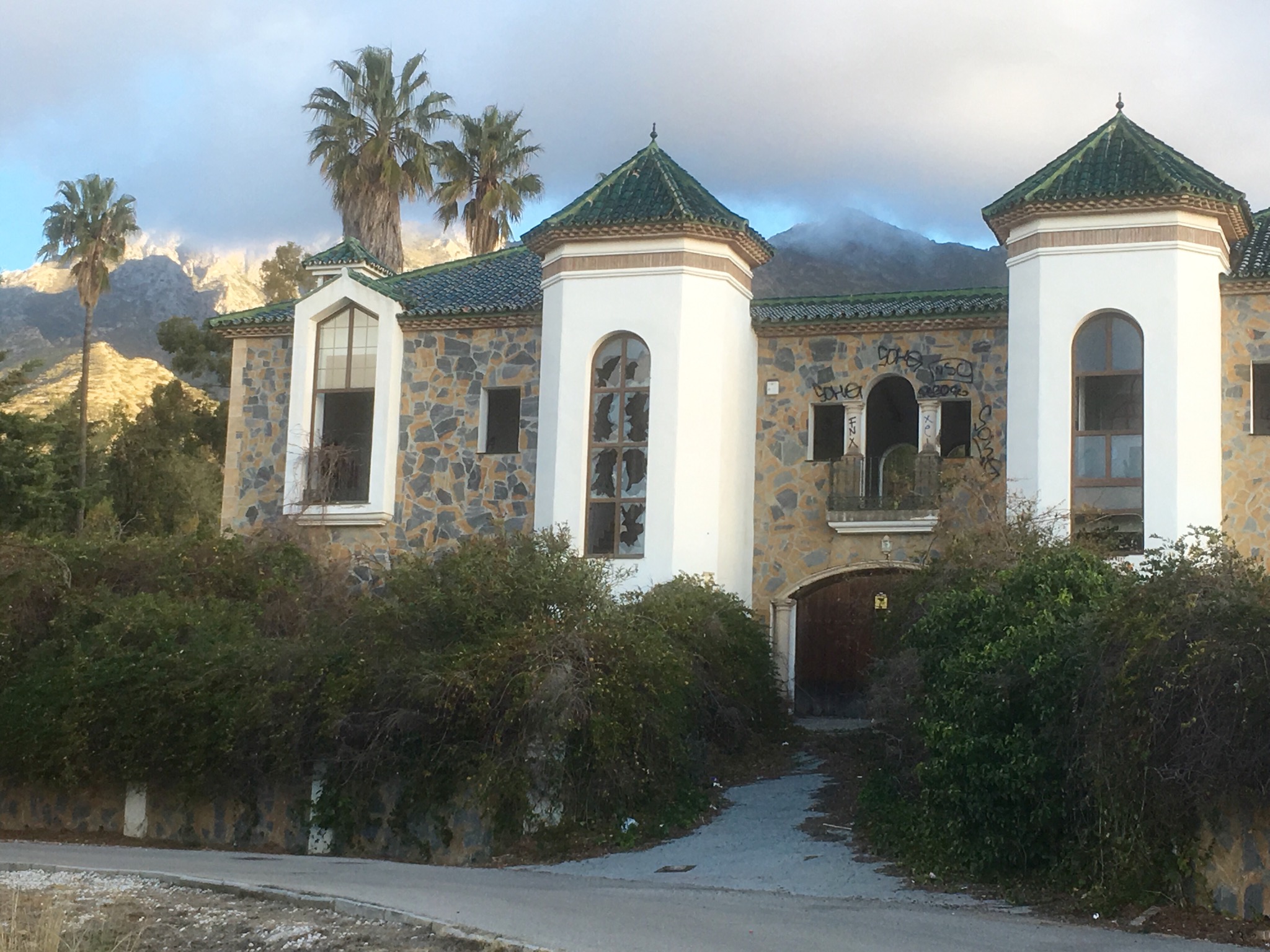


The flags were no longer flying over this planned piece of heaven and the rust had already set in on another.


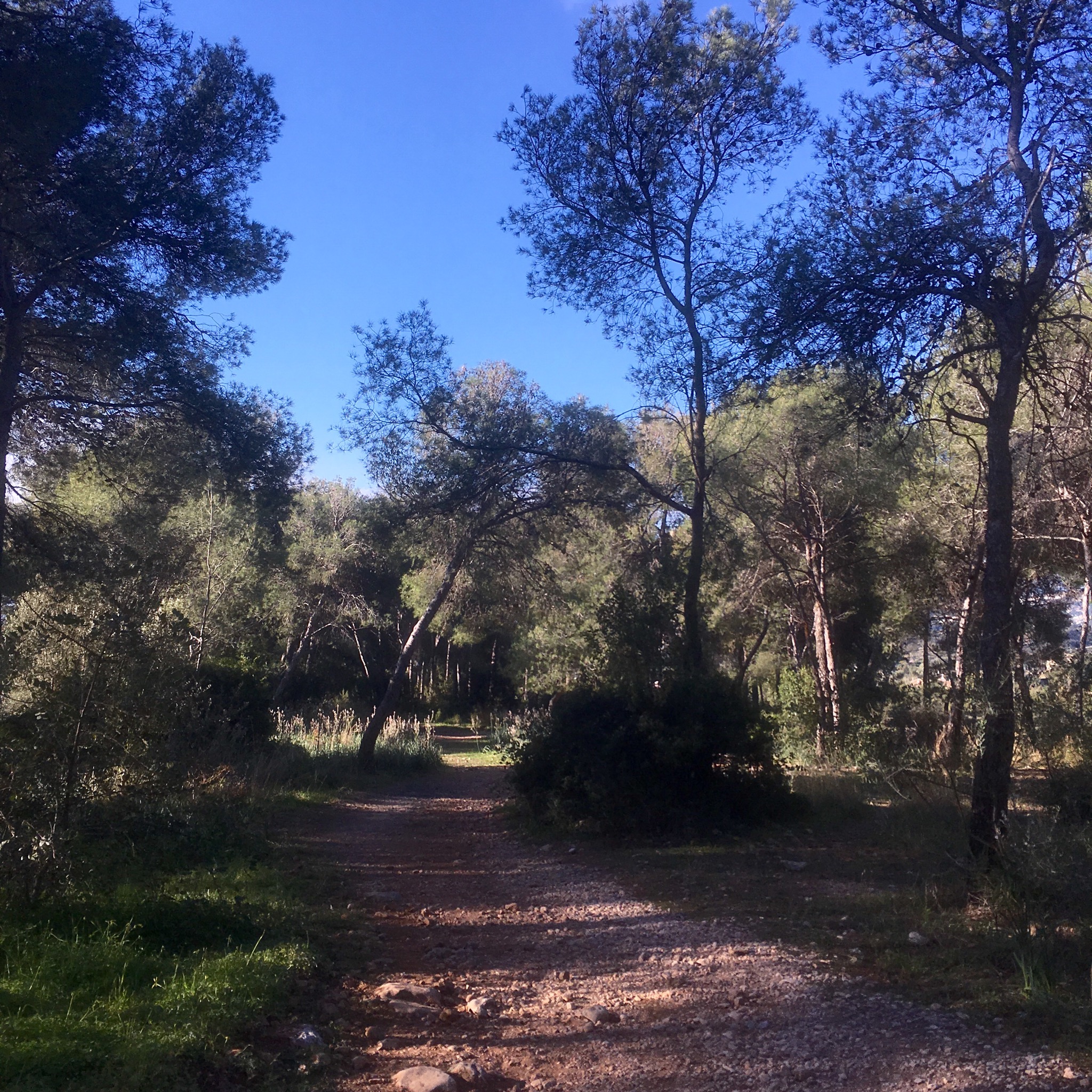
But at last, having got back on track, I was off into the woods again and very pleasant they were.


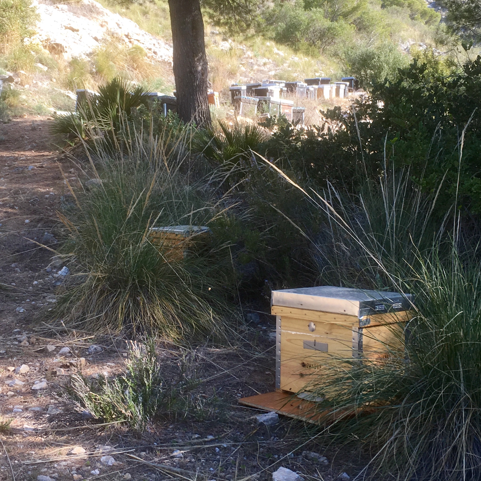
It soon became remarkably wild considering the proximity to the porche and range rover filled roads below. I came upon a large set of hives and getting a bit to close, was chased and stung. There was also a lot of boar rooted up ground and I wonder if they penetrated the villa security to dig up the lawns.
This time last year I came across the prosessionary caterpillar and here they were again.

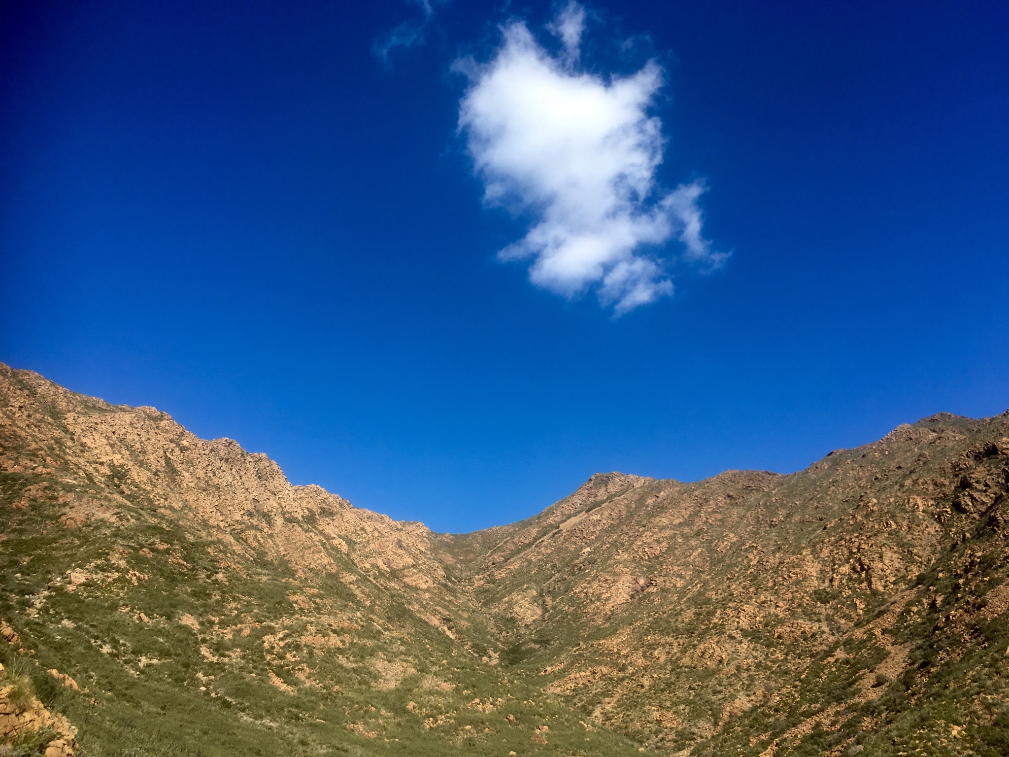
It was lovely but the ups and downs were steep and uneven. Slow going, especially when you have to avail of ropes.


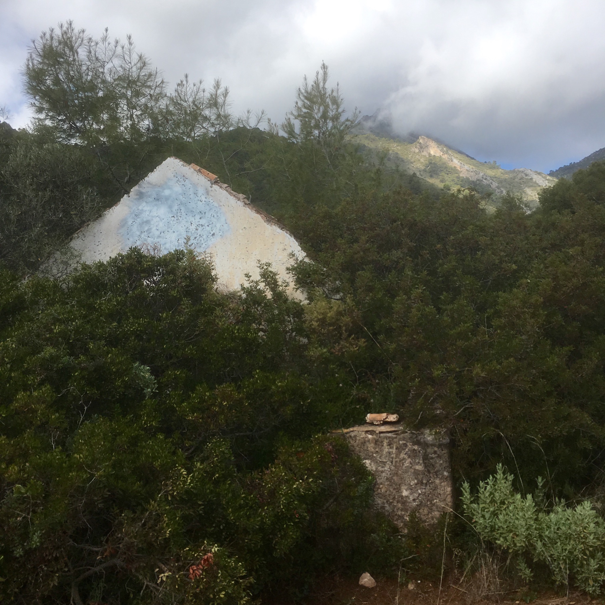
At one stage I got a strong smell of what I thought was marijuana and when I reached a ruined chapel there was some graffiti that made me wonder.
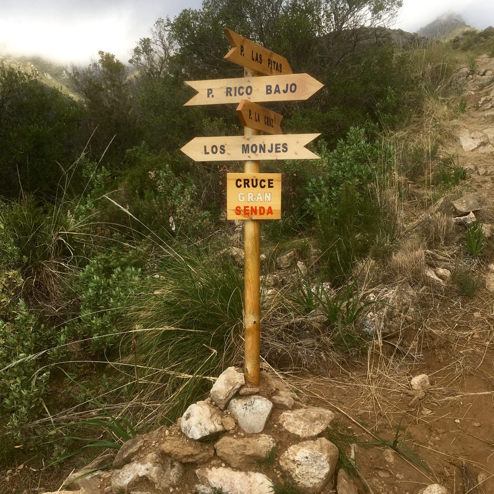
The local walking association was very good at erecting signs for a lot of different routes into the hills but one sign disturbed me when I got down onto a lovely level tableland with deserted finca.
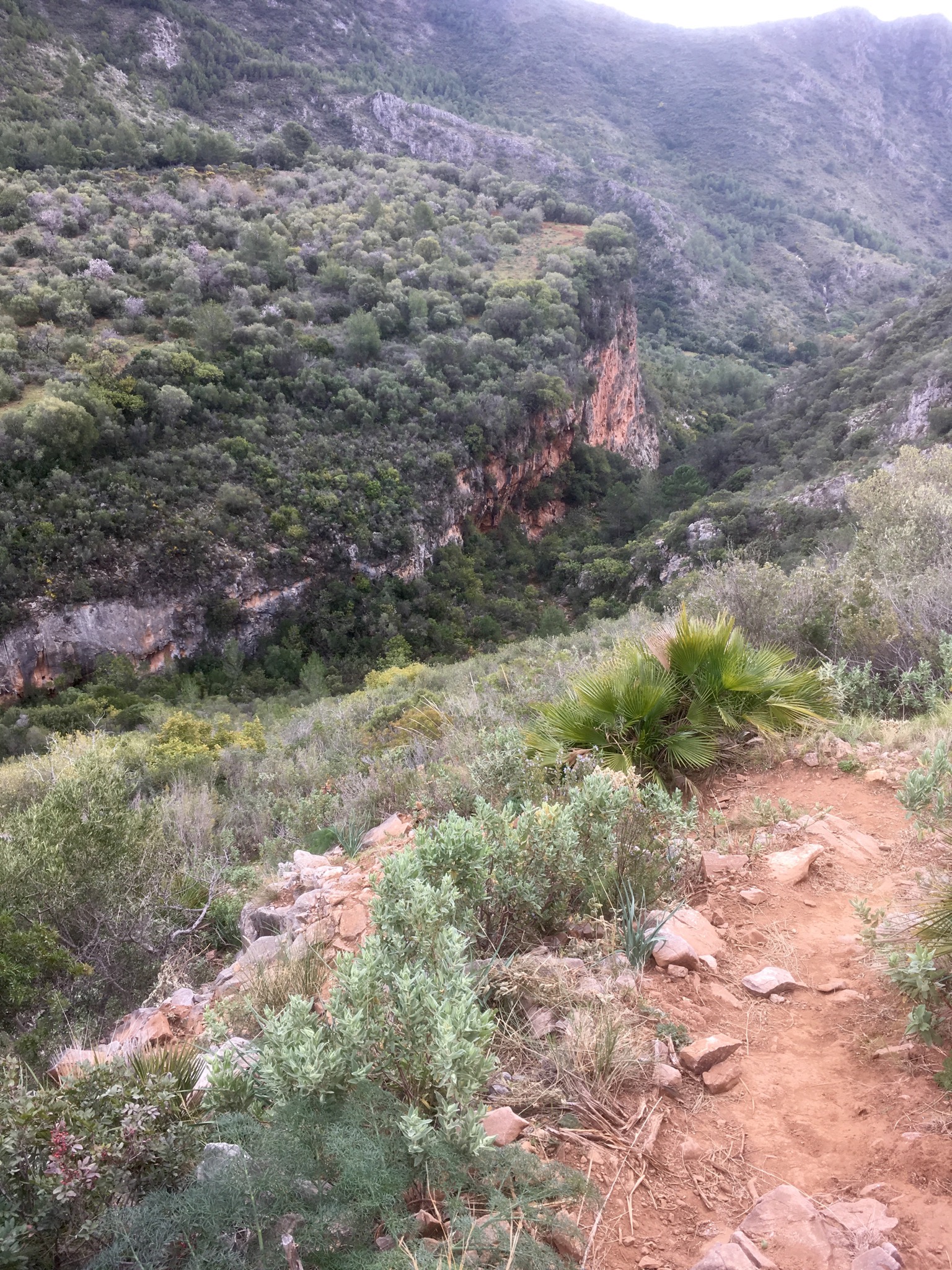

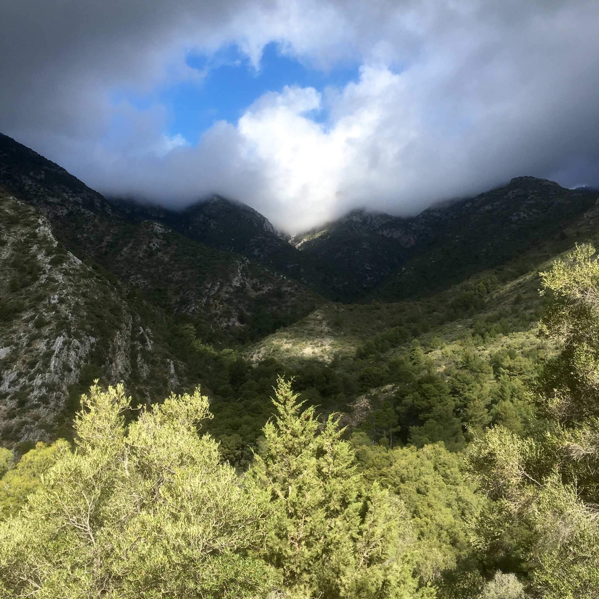
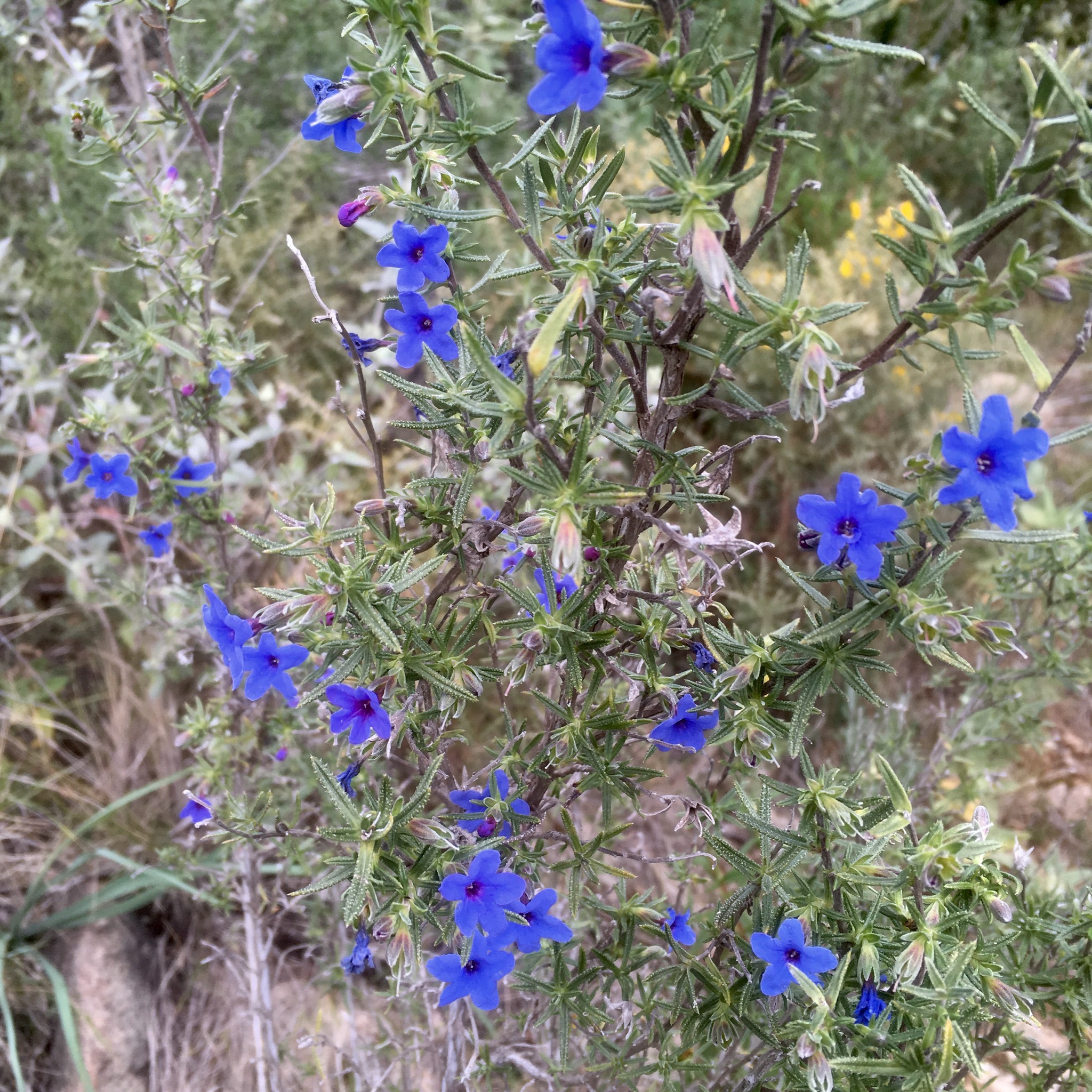
The sea and associated costaization came into view but there were many beautiful flowers to admire.


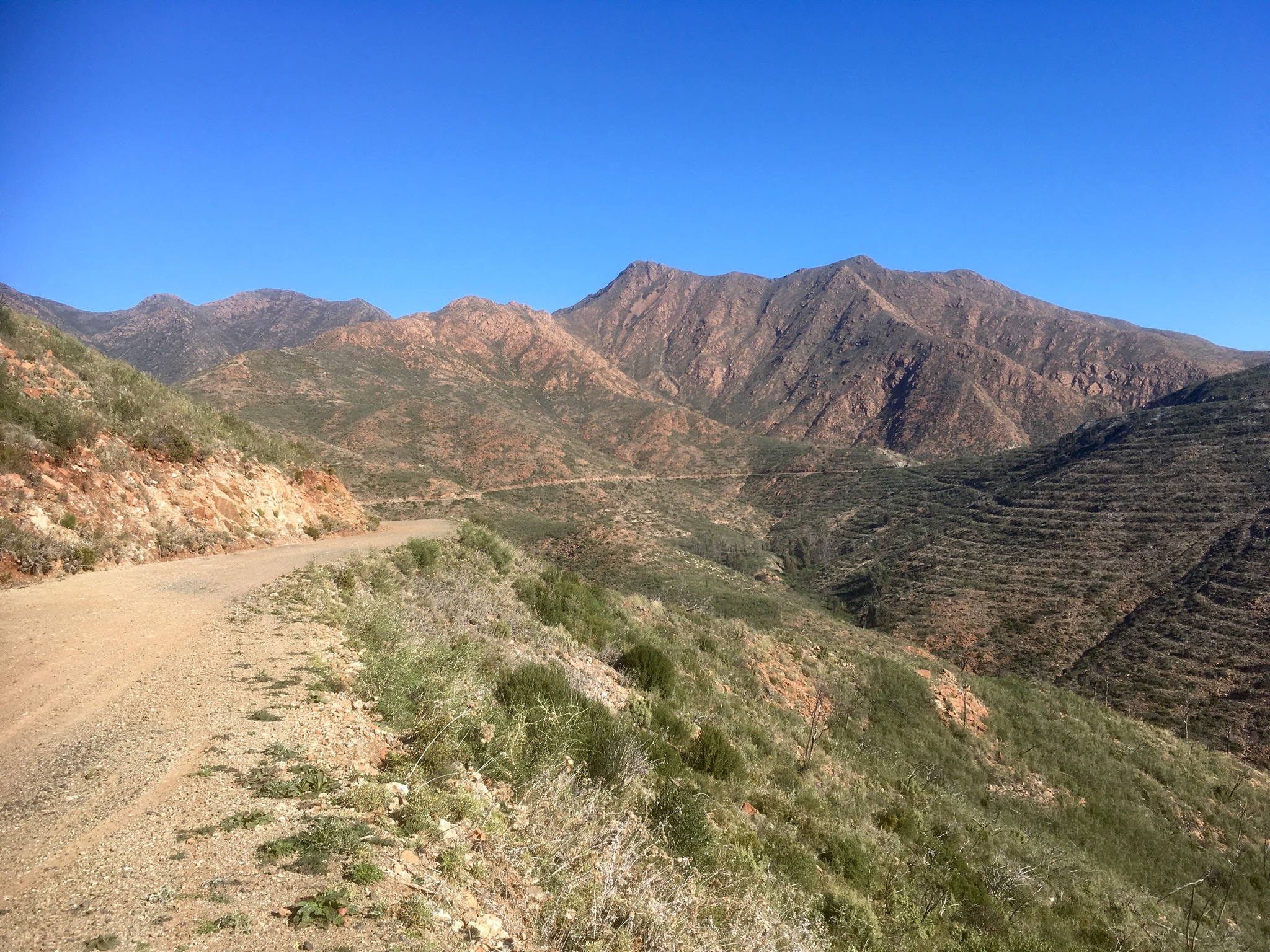
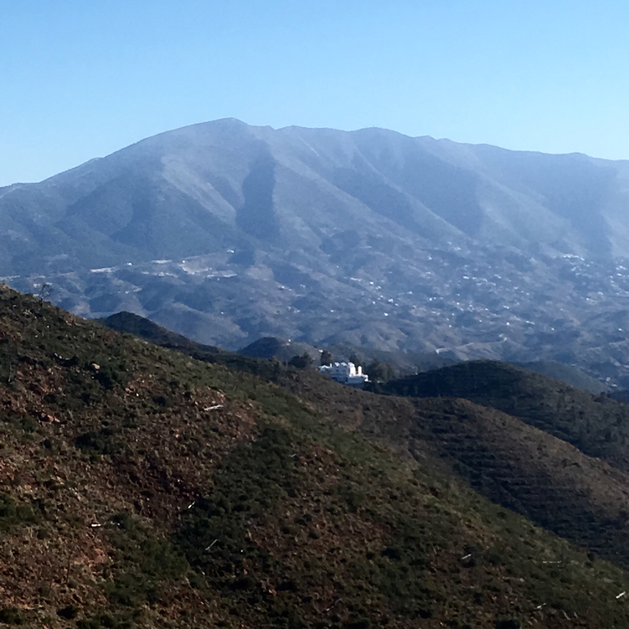
I had crested a range of hills and came down into an area with scattered new houses and a backdrop of the vast area burnt in 2012. 8000 hectares went up and denuded the landscape for miles.


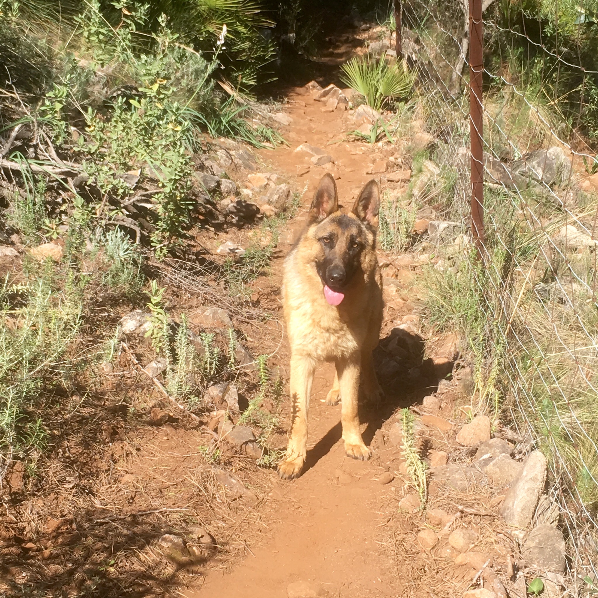
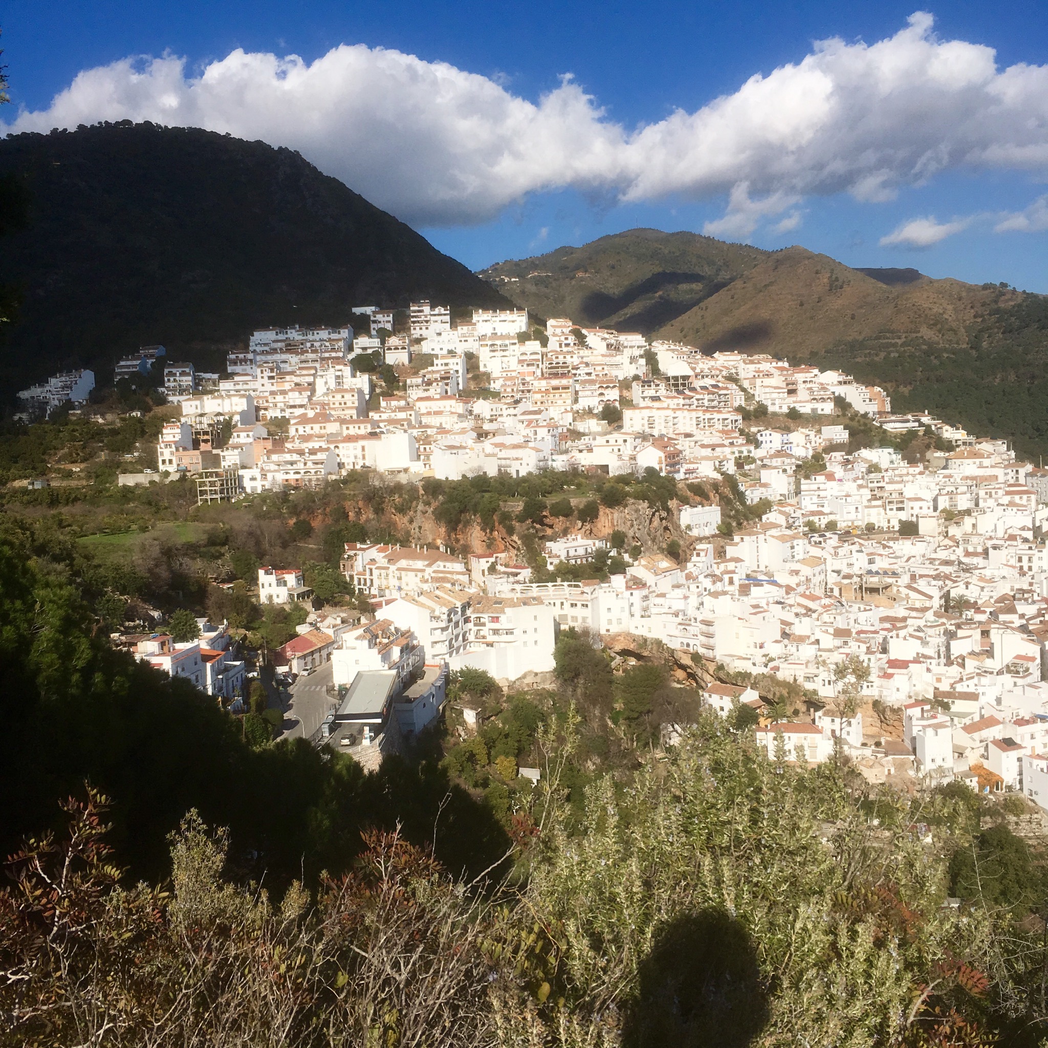
I was suddenly startled by a huge Alsatian. You never know. But he was friendly enough. More scrambling up and down and finally, as I reached the brow of yet another rise, I saw Ojen.

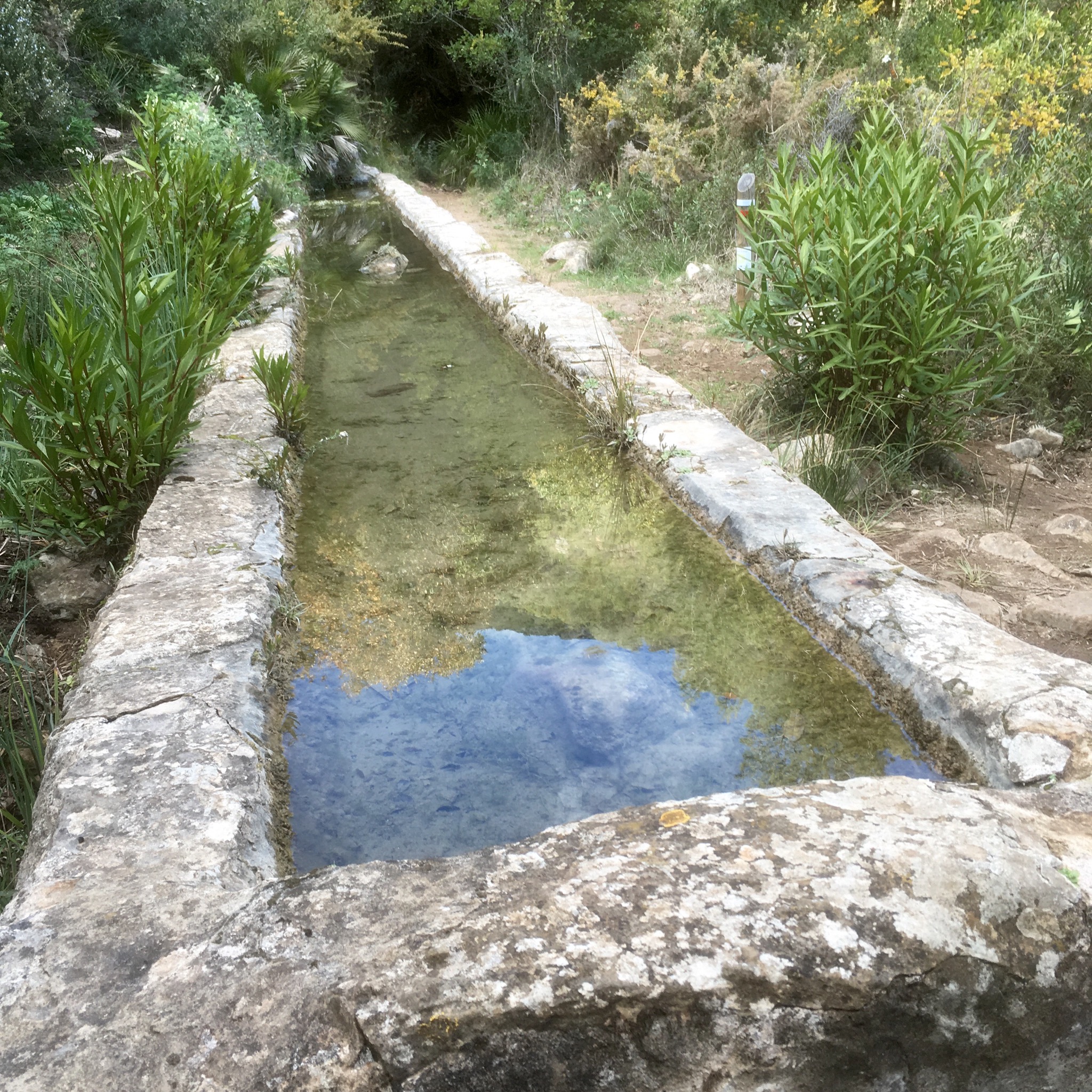
Looking so near- but proving so far, as the trail made a huge loop around the rocky hills. A moment of relief at a fine drinking trough and then more clambering until finally…

I stopped briefly at the road side caves and longer at a bar to eat before heading on to find somewhere to camp. I wasn’t too hopeful after the terrain I been through.

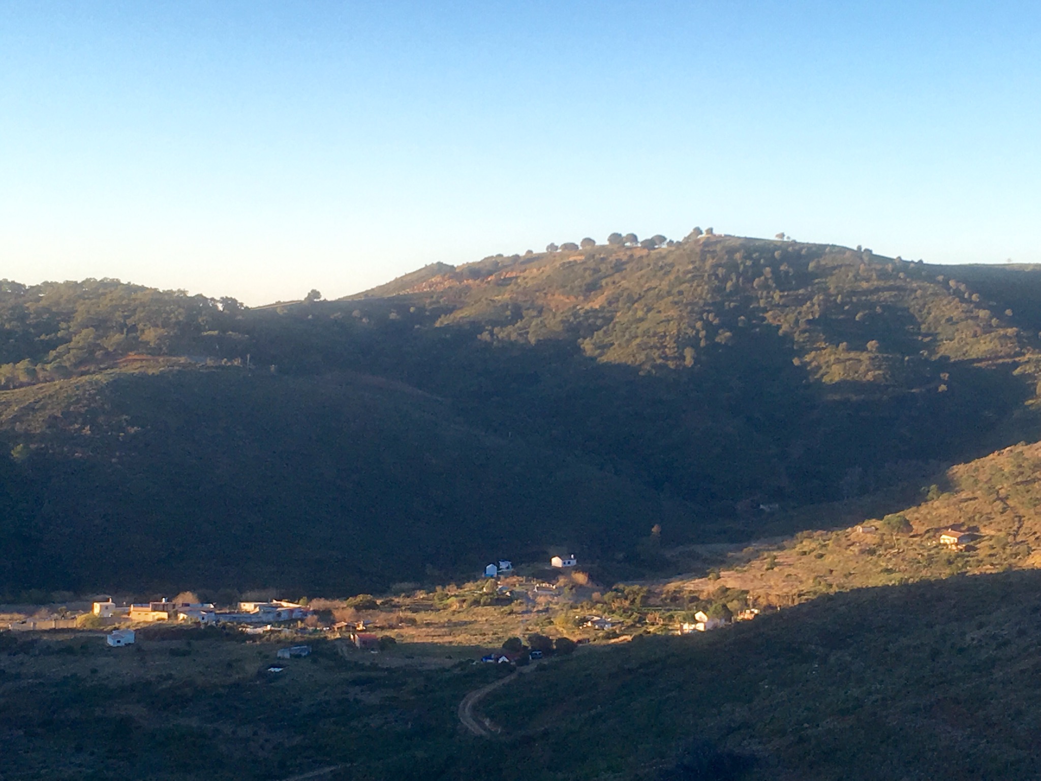
I wanted to shorten the following days stage if I could so carried on up into the hills again with the light beginning to fade. The surroundings became more desolate from the fire damage and when a friendly old hippy stopped and offered a ride a couple of Km to a place I could camp I jumped right in.
A tiny bit of flat ground beside a river amongst an empty landscape.

The eucalyptus trees, designed for fire, were the only trees to survive but people stayed, in the small groups of houses deep in the middle of it all.
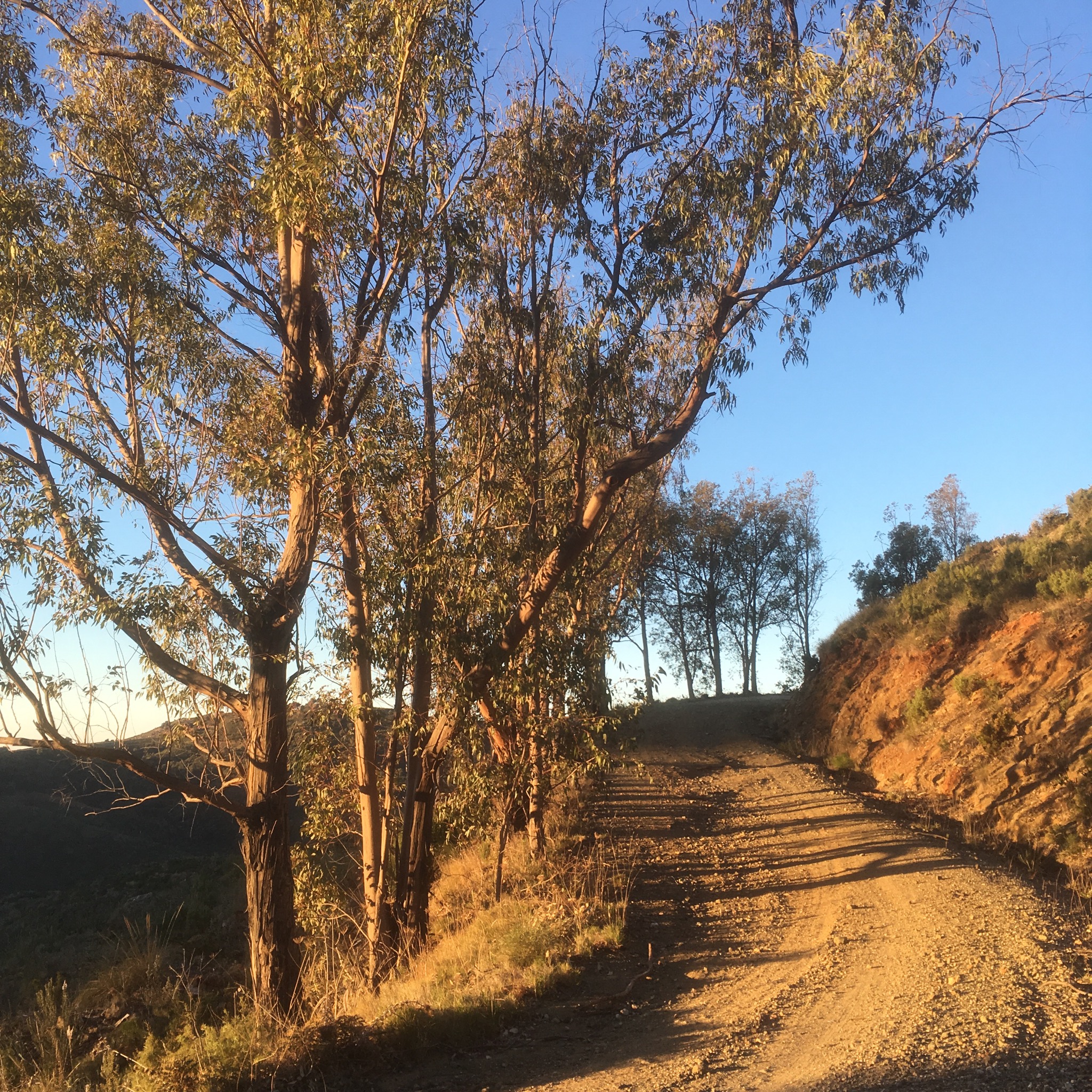

I was on fine wide tracks that had been made to service the mines that were digging for talc and mica I think. The tracks slowly gradually rose and fell and turned this way and that to allow for different views. At one point I spotted in the distance the white buildings of a drug rehabilitation centre. They had to evacuate during the fire.


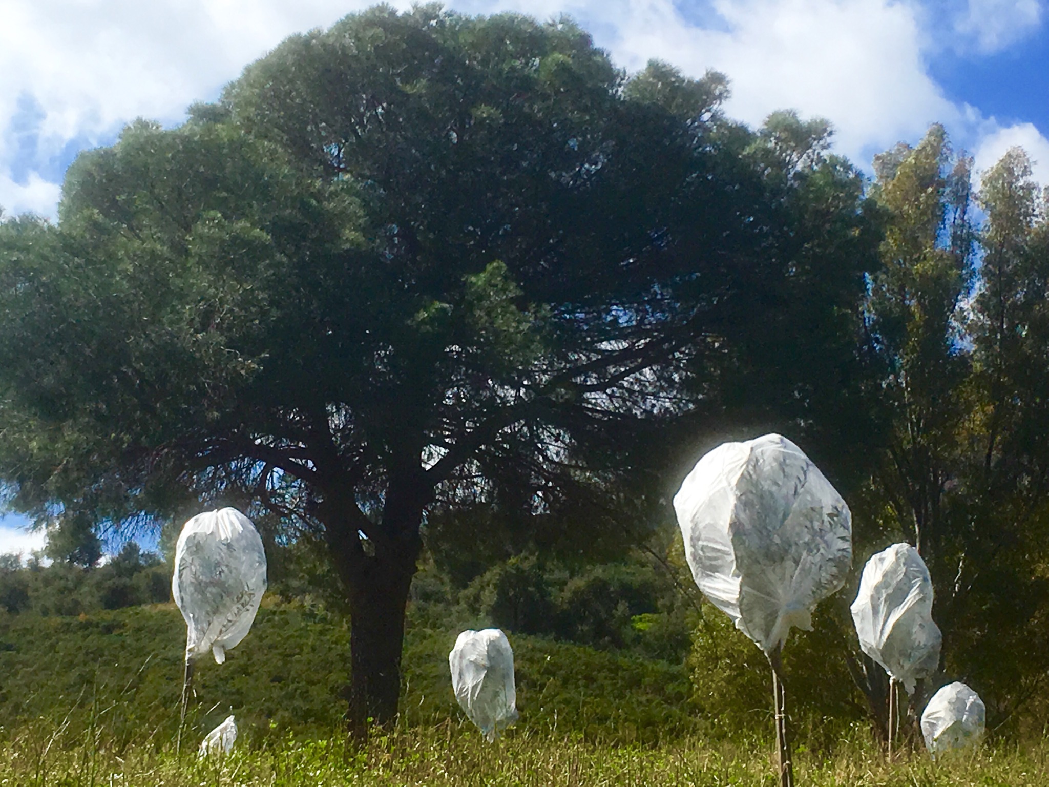
The first surviving pines were at the beginning of the Tarmac road I would follow down into the flat farm land around Entrerrios where young olives were protected from the cold and an odd mix of buildings appeared.


I was heading the right way- up!
And so up and up again until I found myself a little bit of grass for my tent.
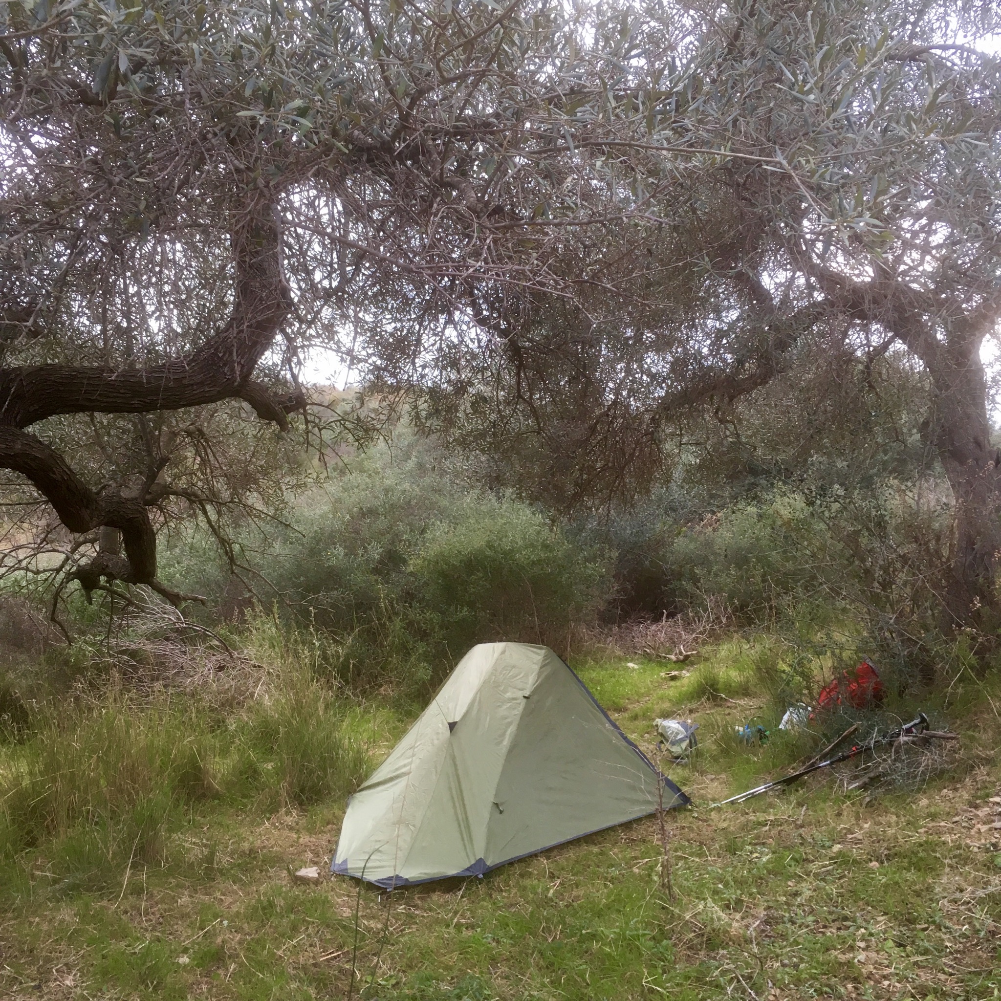
Which I must get into now- it’s could and dark and I have (another) hill to climb in the morning.
