After protracted difficulties with my blog site it seems I am now able to report on our road trip Down Under.
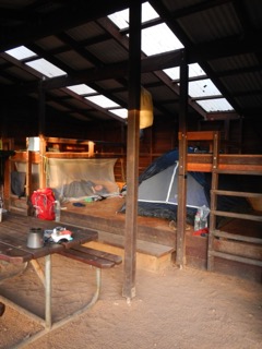
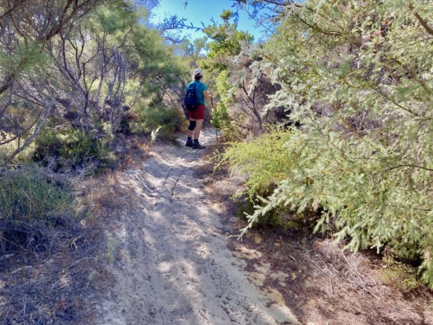
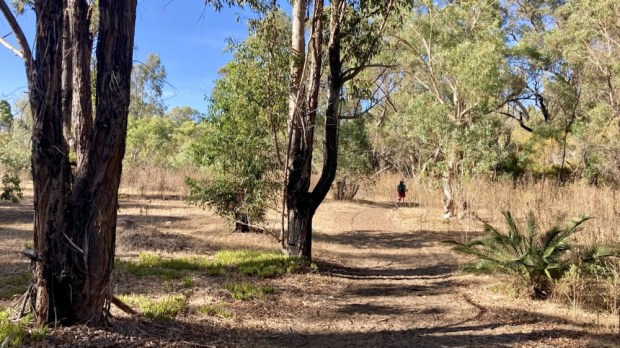
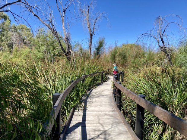
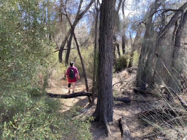
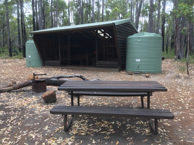
With so much distance to cover in a relatively short space of time we weren’t able to undertake very long hikes but we did a number of walks from the camps we parked up in at night and stopped for a few here and there along the way.
Heading due east out of Perth we passed the Rabbit Proof fence, a massive undertaking erected across Western Australia in an attempt to stop the migration of the voracious grass and crop eaters introduced for a bit of hunting sport.

No 1 fence, which we crossed was not far off 2000km long and involved teams of men camping in the bush for years with their horses and pack camels which were left to go feral and multiply to the extent that there are now more there than in any other country.
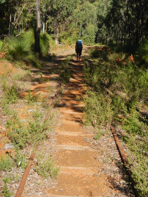
450km from Perth we pulled off the highway and drove a few km down a dirt track to our first camp at Karralee Rocks, the site of more old work camps for the crews working on the cross country rail line and also a scene of a gold rush in the 1890’s.
The huge granite outcrop had been used for millennia by Aboriginals for gathering and holding water and the industrious settlers had built a vast wall around them to act as a dam and sent the water down a system of sluices to a dug reservoir that served the goldmines and later the steam trains.
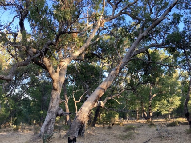
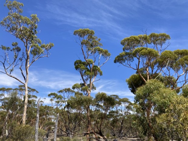
It was strange to walk among these remnants of past fevered industry, now so empty and silent, something we were to experience many times on our journey across the country.
Our first night in the camper was spent among the ghosts of the prospectors, with the distant sound of the massive lorries or road trains out on the highway.

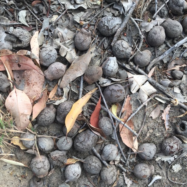
Poking around the area in the morning we discovered a landscape dug up and out and moulded by man in his quest for riches. There was always a large contingent of Chinese among the gold seekers, and here they had been mining kaolin for making porcelain and establishing vegitable gardens to feed the multitudes.
There were also wells, dug by hand, and water could be bought and sold. Water was a commodity more sought after than gold itself at times. “You could borrow food and sometimes money, but never water”. Here 100 gallons cost you 2s 6d, 4d for a camel to drink but foot travellers were free.


Our next walk was at another gold mine, this one still in operation and on an altogether different scale. The Super Pit at Kalgoorlie is named appropriately. The scale of the undertaking- and the consequent hole in the ground- defies the imagination and ramps up the extraordinary statistics.

You can hardly see the 40 giant Caterpillar earthmovers that crawl up and down 24hrs a day with their 225 tonne payload. About 20,000kg of gold is extracted annually, which sounds a hell of a lot, but they had to dig out 85 MILLION tonnes of rock to get it. That works out at 7 of the monster trucks carrying up a golf ball of gold between them. You wouldn’t want that return using a pick and shovel.

The 4000 horse power Komastsu face shovels, as they are called, have buckets that claw out 68 tonnes at a time, and cost $18.5 million.
As awe-inspiring as seeing mans ability to transform the planet was it was a relief to move out to the beginning of the Nullarbor Plain, a true no mans land, where the more or less straight road would take us 1300km across a landscape totally unchanged and without any sign of “civilisation”.
Norseman, the last town to pass through was a fairly downtrodden looking place but had a free community pool, as a lot of the WA towns did, so with the heat really building , we stopped for a dip before leaving for the “empty quarter”.

We spent the night on the side of a little salt lake on the Frazer Range with a couple of other “rubber tramps” or “grey nomads”. The camping tradition is uniquely strong in Australia, as the vast nation was settled and built by campers over a couple of centuries in a country already lived in for tens of thousands of years by people moving and camping lightly upon its surface. Our retired neighbour in the camp told us that him and his wife headed out for about 4 months every year in their off road caravan, saying that” the only time you should be driving on tarmac is when your crossing it”! With all the campgrounds in National Parks, Regional and State Reserves, Conservation Parks and State Forests as well as hundreds of roadside rest areas official and unofficial, and a huge choice of private sites of varying levels of amenity and luxury- there are, at any one time, countless Australians “going bush”. The outdoor suppliers are vast warehouses of treasure troves to those seeking an engagement with their natural environment, even if it is through a screen of ever more plentiful and sophisticated camping gear and an array of huntin’, shooting’ and fishin’ tools and water activity toys.
It’s a mighty big playground out there and the little speck of woodland on the map that we slept beside that night was the size of England!
The next day took us nearly 700km and into SouthAustralia and our third time zone. At that stage we were half way across the Nullarbor Plain (Null Arbor- no trees) and been pleasantly surprised by its slight but constant variations. Well, when I say constant, the changes are on an unusual time frame, literally and figuratively. You drive in a more or less straight line for a few hours and the landscape and flora slowly morph from one thing to another.At the same time it no longer is the same time, because as you near the end of Western Australia, around the Eucla roadhouse, you enter the tiny area of Central Western Standard time and move forward in time 45 mins. Not long afterwards, travelling at 110km an hour, you cross into South Australia and move forward another 45mins. It’s all slightly disorientating.

Over the 90 Mile Straight and beyond we had gained 10m of altitude, avoided a collision with emus, camels and kangaroos, past a few trees decorated with various surreal accessories and driven on a few stretches of road that doubled as landing strips for aircraft.

The only human life, apart from the (very) odd passing vehicle, was clustered around the roadhouses every 100km or so, where you could get fuel, food, water, conversation and a bed or parkup. Only the massive road trains with their sturdy roo-bars can drive at night for fear of a collision with the wildlife which venture across the road in the dark. The long spread out string of roadhouses also host the 18 holes of “The Worlds Longest Golf Course”. With one hole per roadhouse it would take a while to cover the 1300kms in a golf caddy and the greens aren’t in great shape.

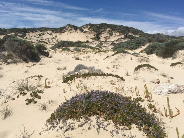
After unwittingly smuggling a small amount of veg into South Australia and the “fruit fly exclusion zone” we found a wonderful and wild park up off the road atop the Bunda Cliffs, with views of the untouched coastline of the Great Australian Bight, where I took a long hike down and across the dunes but was wary of going for a swim alone from the deserted beach into an unknown sea.


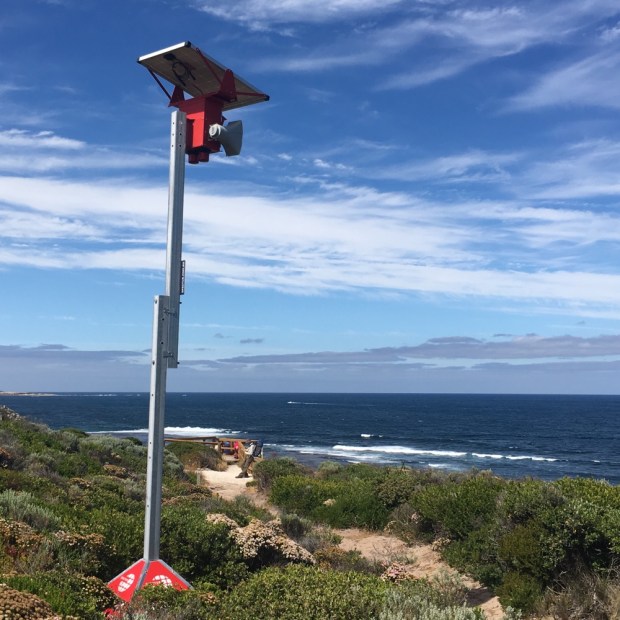
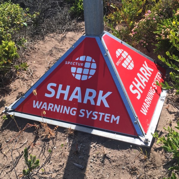
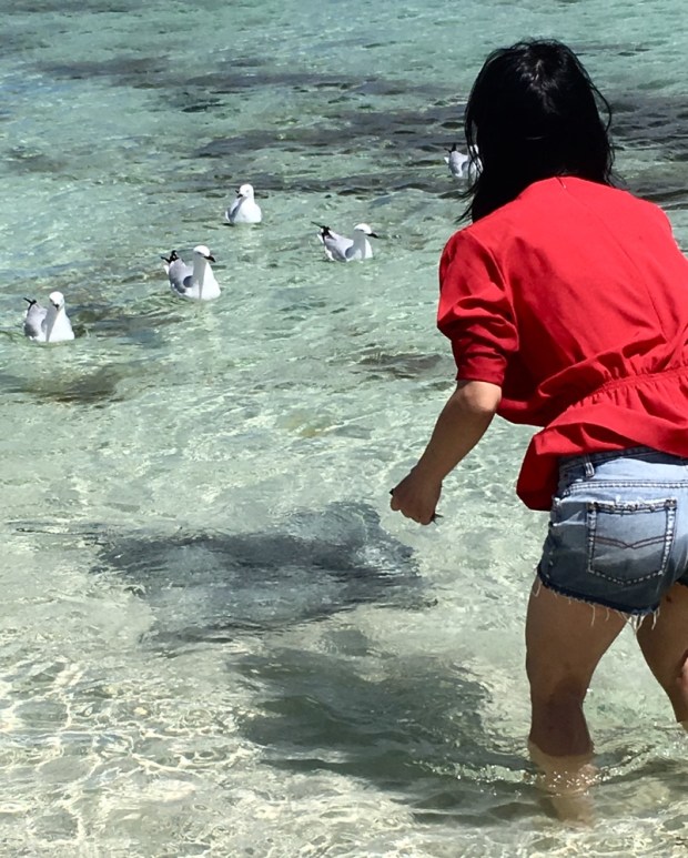
Another long drive the following day and we had crossed the Nullarbor Plain and attached the bumper sticker to prove it. We did swim at our next nights camp, our last on the coast for awhile, following the advice of a couple of locals to stay in the shallows as the “sharks come in after the salmon”. I took a walk down the long jetty in the early morning and could easily imagine dark fins slicing through the water below.

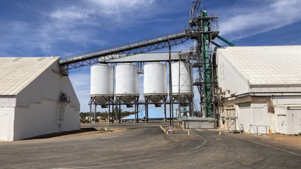
Heading inland across the Eyre Peninsula and north of Adelaide we entered a completely different environment. Mile upon mile of rolling grain fields, an unbroken landscape of yellowing grasses to the horizon with small agricultural towns and massive grain silos, some of which had been getting an artistic makeover. And with the silos full, mountains of grain were created dwarfing the lorries and tractors busy around them.

A country pub with a barb wire museum(!) in the little town of Spalding let us park up in the back garden surrounded by a sea of wheat fields.

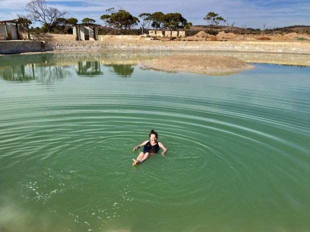
The temperature had been up to 42 degrees and we’d covered about 2800km in 5 days. It was time to slow down a bit and hang out somewhere cool and shady. We continued southeast through a more varied landscape to the Murray river at Berri where a lovely camp on the riverside allowed us to swim and walk in the wetlands and woodlands, do our washing and barbie on the bank.

For many years the Murray had been a vital transportation route from the coast to the vast interior. It’s Australia’s longest river at 2500km, rising in the Alps and creating a border between New South Wales and Victoria before crossing South Australia. Its waters were the lifeblood of a massive agricultural area and it was refreshing to be amongst such fertile surroundings.
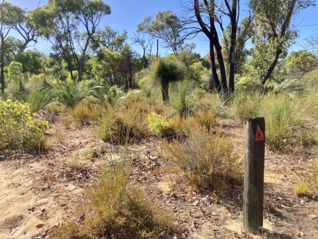
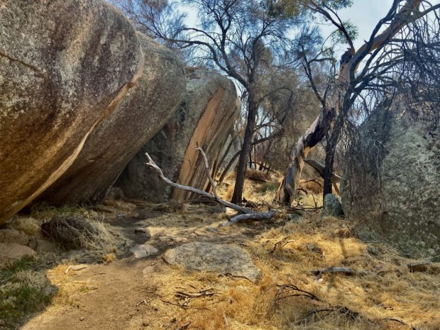
After our relaxing sojourn on the river bank it was back in the van to the Ngarkat Conservation park. The tamed farmland had disappeared again and we were back in the wild. We took a hike on a luckily well marked route through the scrubland, you really wouldn’t want to get lost out there or you could find yourself wandering into the adjoining Big Desert Wilderness Park, whose name is a big clue to its nature.

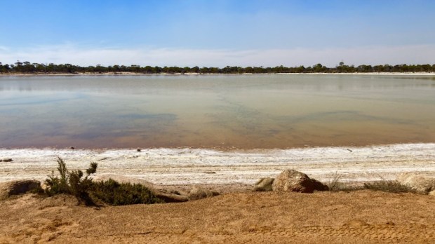
Safely back in the van and on the road we stopped in the boiling heat for a look at a bizarre looking pink salt lake.

Later we dropped down past the Grampian Mountains through truly gorgeous country and pulled off into the Glenisla Forest Park to camp by the reservoir hoping for a swim. Unfortunately years of drought had left the boat slipway and floating jetty high and dry as the waters receded.

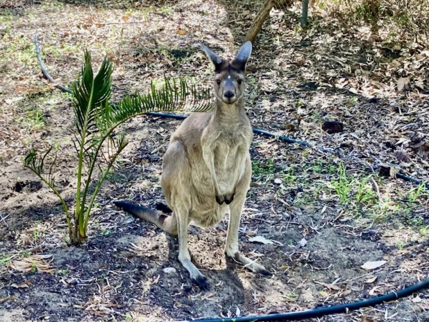
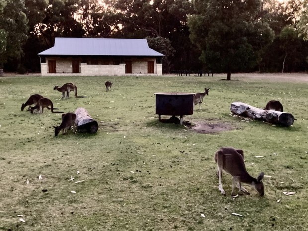
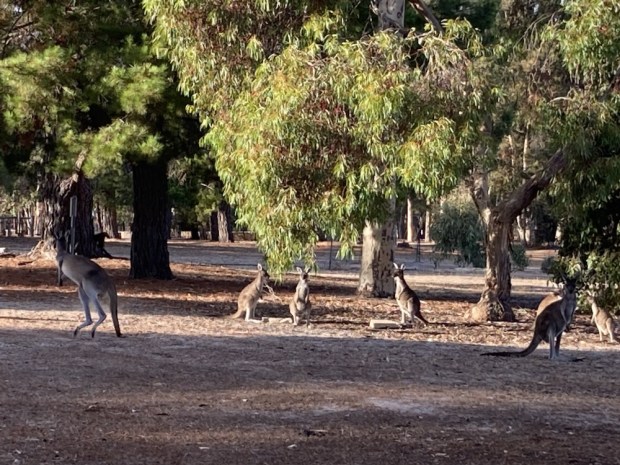
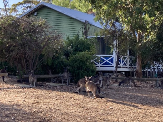
It was a strange and forlorn camp, with many old permanent caravans parked from when higher water levels had allowed for fishing and boating on the waters of the flooded forest. But the peaceful spot was a haven for wild life and we were serenaded by a host of exotic birds and visited by families of kangaroos.


Dropping down to the coast again we were grateful for the cooling swims at our camp on the Fitzroy River outlet.


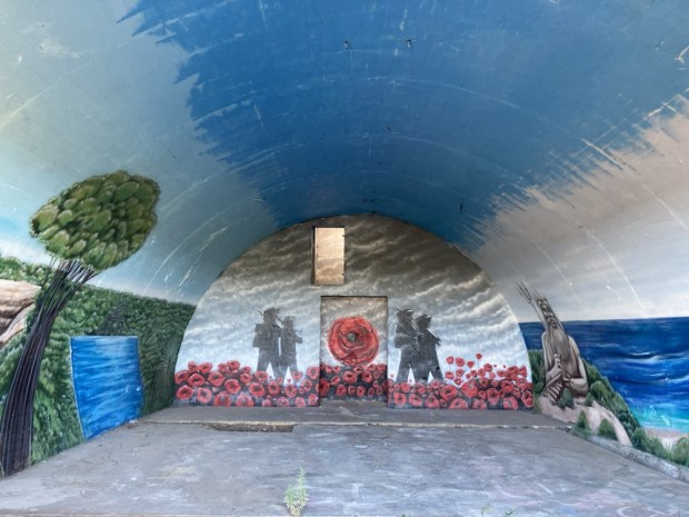
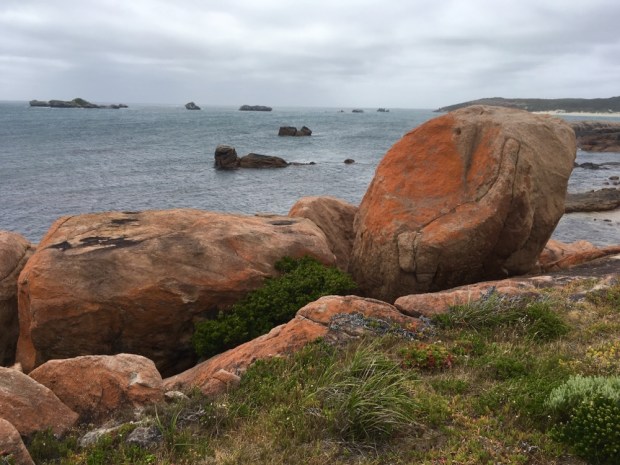
We were now aiming for the 250km Great Ocean Road, the highway created by returning soldiers from the 1st World War in honour of their fallen comrades and the worlds largest war memorial. The coastal highway, weaving around the rugged rocky headlands with the crashing rollers of the Bass Straight gnawing away at the cliffs, is one of the worlds most iconic seascapes, and attracts a multitude of sightseers.


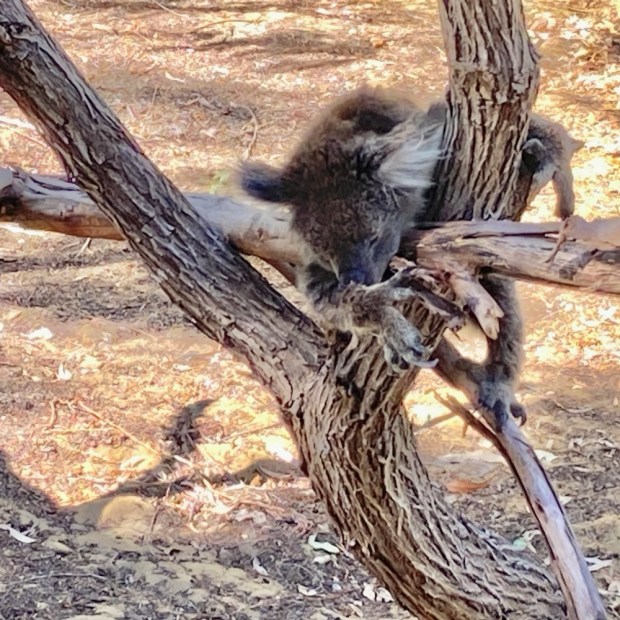
Although beautiful it seemed to be a victim of its own success, with multiple car and coach parks having to be made at the many spectacular lime and sandstone rock formations to accommodate the hordes, and a line of snaking traffic clogging the roads. It was certainly a dramatic shift from the empty miles on the Nullarbor. In the end i’d had enough of the busloads of teeming tourists taking selfies and, with Sally feeling unwell, we passed by the remaining attractions and headed on to Apollo Bay where i’d booked our only room of the trip for Sally to recover in relative luxury. During the night I was disturbed by a persistent scratching noise and discovered a koala bear trying to gain entrance through the wraparound glass windows.

As dawn broke I joined him/her on the verandah and we had a long commune together before it slowly wobbled away back into the gum trees.
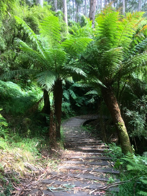
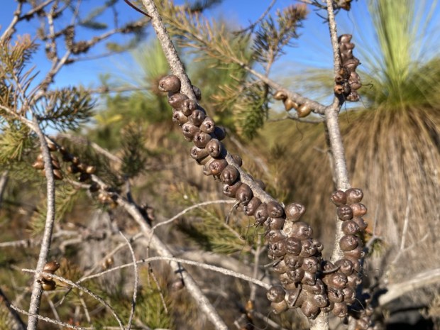
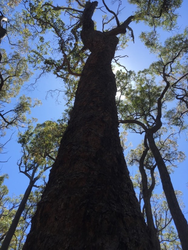
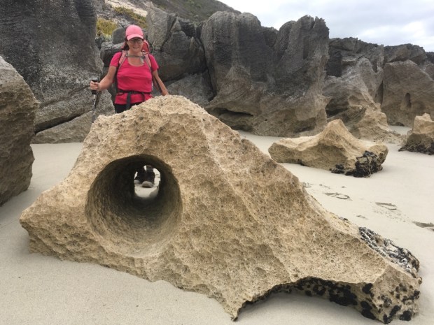
With Sally better the following day we tackled a couple of hikes in the area, the first down through the forest and along the fantastic rocks of the shoreline in a big loop. As we had travelled east the climate had been getting wetter, and here the vegetation was temperate rain forest complete with hundreds of lusty tree ferns.

Our second hike was again through the verdant forest down and down into a valley at the base of the Erskine Falls. On the way we crossed the Barham river leaving me to wonder if I had relatives or a credible land claim around there.

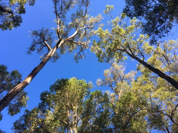
The night was spent in a camp deep into the forest in the Otway mountains after driving on dirt roads from the falls. This part of Australia, Victoria State, was proving to be a favourite of ours and amongst the rolling hills covered with towering trees and the steep sided fertile valleys we spotted the charming homesteads and funky houses of those who felt the same. The area was rich in artisan food producers, wineries and artist and craft folk.
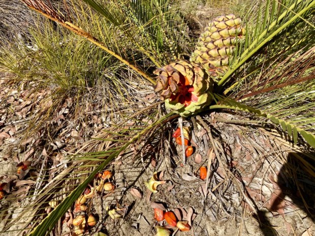
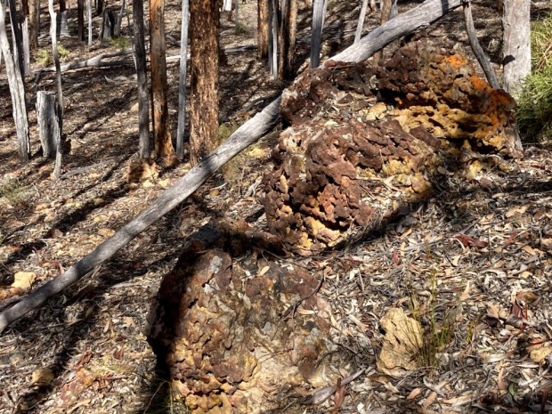
Driving north into another area of historical gold fever around Heathcote we had a walk around the mini gorges and cliffs of fine pink clay that were created by the gold mining activities of the 1880’s when power hoses were used to sluice the earth away. The geological reserve here holds some unusual formations of smooth ironstone with a weird volcanic look about it.

Exploring the remnants of the gold rush days further we set off on a 30km length of dirt track to the scene of once frenzied activity in the ghost town of Whroo. In 1854 a couple of guys kicked a big nugget of gold out of the grass here and began a rush that saw a town of 13o buildings and a tent town grow up in the highly profitable decades that followed. Nothing now remains except mounds of disturbed soil, some cyanide vats which were used to separate the gold from quartz and the sad and isolated graveyard containing the graves of some 400 men, women and children who died at the mines.


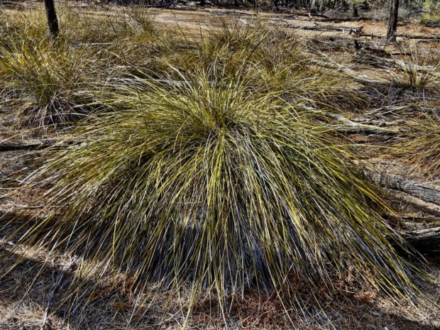
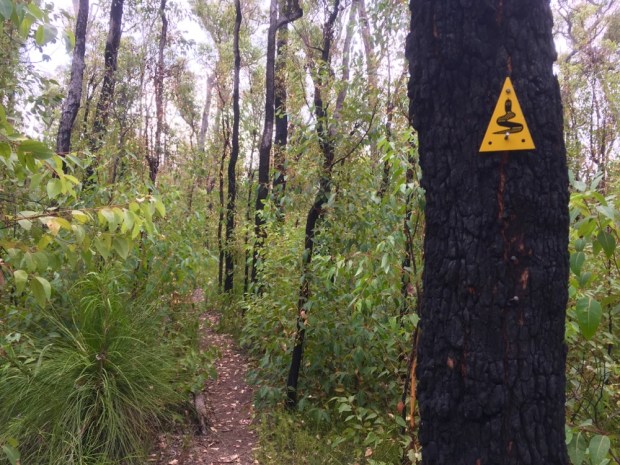
The ghosts of Whroo now lie in the midst of the 33,000 ha Rushworth State Forest which took on an ominous character when a threatened thunderstorm built up around us as we walked through the shattered earth of the diggings. When the rain came down and the trees shook and swayed in the gale we upped camp and drove to a more open area, worried we may be trapped or crushed by fallen trees. The next day we hiked to the site of the main, pick and shovel dug, Balaclava mine-discovered on the day of the famous battle. It was remarkable to see the extent of the endeavours of the folk seeking their fortune but also sad to see the destruction of the environment. Whroo had been central to the lands of the Ngurai-illam-wurrung Aboriginal people for millennia but within 10 years of the arrival of white settlers the traditional lifestyle and food resources of the indigenous people had been destroyed. There weren’t many winners here.
Sure enough, as we left the area, there where many trees that had bring brought down by the winds, but we made it back onto a tarmac road and headed first to relatives at Yackandandah whose towering gums, brought down by the storm,had narrowly missed their neighbours house, and on up into the beautiful Snowy Mountains.The mountains had suffered a devastating fire some years ago and the bleached skeletons of the old forest stuck up above the new growth over a vast area as we rose ever higher. The rivers had been dammed in 16 places, creating vast lakes that fed 7 power stations, in the hydroelectric and irrigation scheme that was constructed over 25 years from 1939. The Snowy scheme is the largest engineering project in Australia and was another example of where workers lived for years in tents, including during the Alpine winters.There were more than 100 temporary bush camps in remote alpine country across the vast project. In 1948 Major Clews, the chief surveyor for the massive scheme, insisted on tents even in the snow. He suggested that if any of his men did not like living under canvas they shouldn’t be in the bush at all.


In 1954 one of the highest towns in Australia ,at about 1500m, was constructed at Cabramurra from prefabricated buildings to accommodate the up to 2000 workers and their families on the scheme there and 20 years later a new development of houses, shop, primary school, petrol station, pub and sports facilities replaced it. Now changing work practices, shift patterns and workforce numbers has meant that the town is being abandoned and workers will go drive in/drive out,with only the school to remain open. Many people are unhappy and feel a way of life will be lost forever.

There is a feasibility study going on into a huge expansion of the Snowy scheme which would involve 1000’s more workers so it seems odd to give up on so much purpose built housing in an area that is under snow for 3 or 4 months a year.
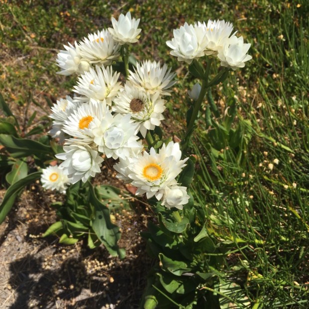
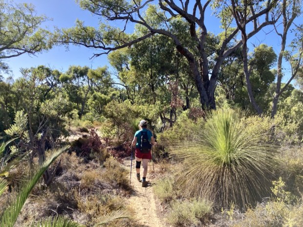
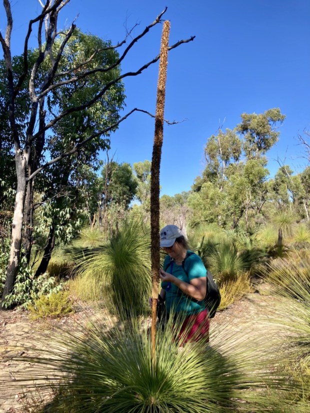
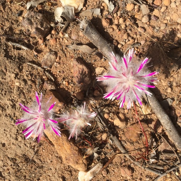
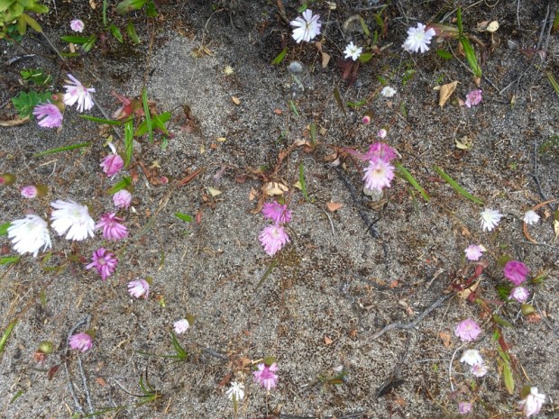
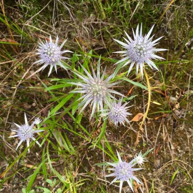
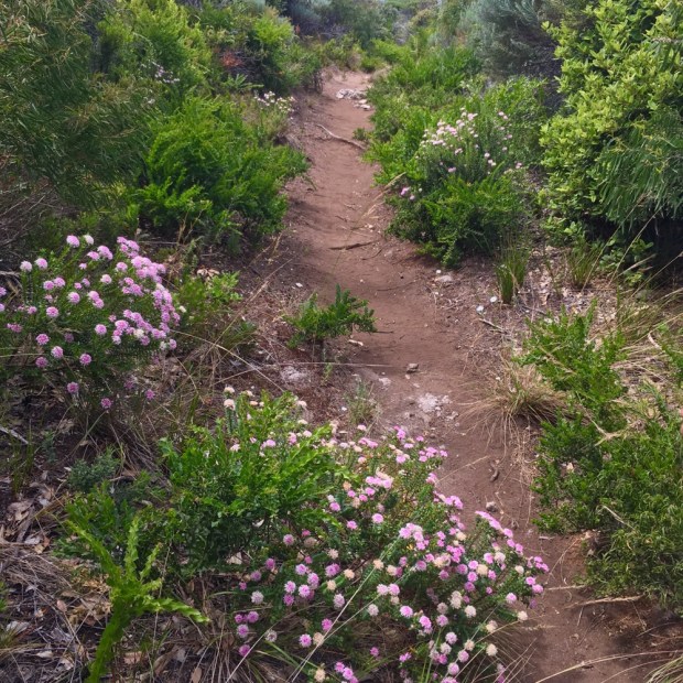
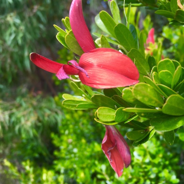
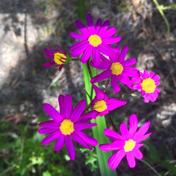
Moving on across the mountains of the Kosciuszko National Park we bathed in the fresh clear air and feasted on the vibrant and lush wild flowers, so different an environment to the harsh dry plains below. Our camp was at Three Mile Dam near a ski resort, which seems an unlikely attraction in Australia. We hiked on another old gold prospectors route, coming across the remains of an old motor car that had powered the stamper machine, crushing the gold bearing rock.

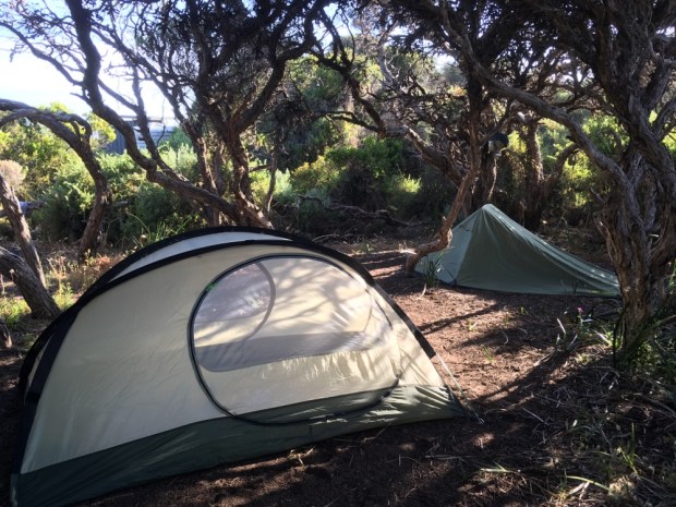
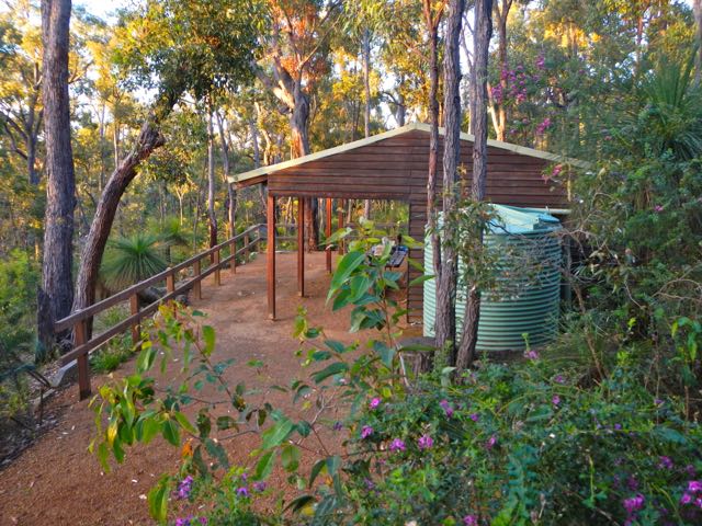
The camp was low key, quiet and spacious with the fellow campers sitting around, fishing and fiddling about and watching the world go slowly by.
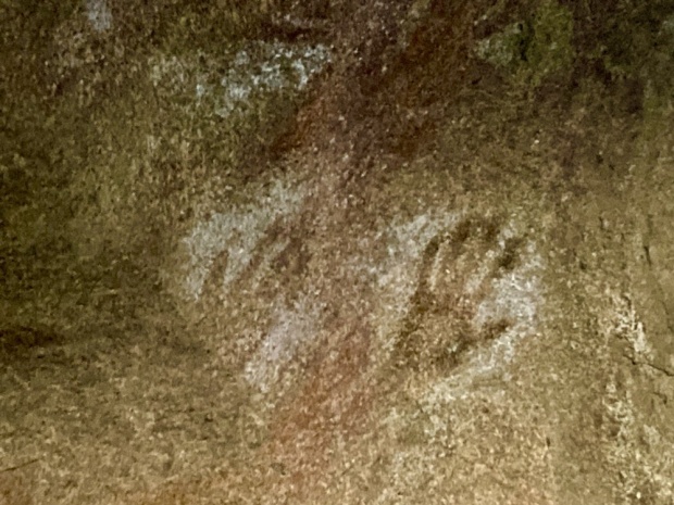
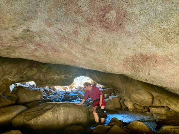
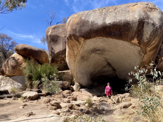
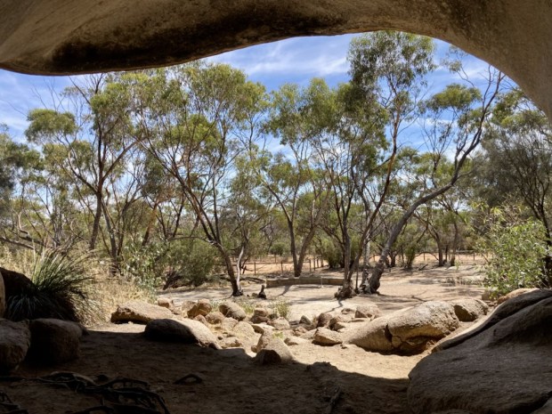
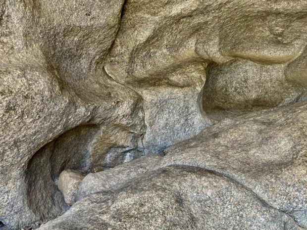
More hiking the following morning after crossing the high tablelands with herds of wild feral horses and descending to Yarrangobilly. Densely wooded hills surrounded a blue pool heated by an emerging thermal spring and paths led us along the river to extraordinary caves and rock arches and caverns where nesting birds swooped through the hole in the roof. The entire Karst limestone area is a network of over 250 caves- six of which are open to the public and were the most popular resort in New South Wales at the beginning of the 20th century.


By the end of the day we were on the main highway into Sydney and our remaining hikes of our trip down under happened on a couple of camping trips to National Parks north and south of the city. First to the Cattai N.P. on the Hawkesbury river where i wandered for miles around the old abandoned farmland and historic homestead of the early settlers, some of the first victims of climate change as the land dried and flooded.
Later we explored the northern tip of the vast Morton N.P., south of the city, hiking on paths along the top of the Illawarra escarpment which rises dramatically from the coastal plane as a wall of greenery to form the Southern Highlands, another area of great beauty.

And before returning to our frozen Irish gardens we visited the largest (1000 acre) botanical garden in Australia to feast our eyes and fill our souls with the sights and scents of the exotic blooms. There was also a futuristic building housing their very impressive seed bank and research facility.

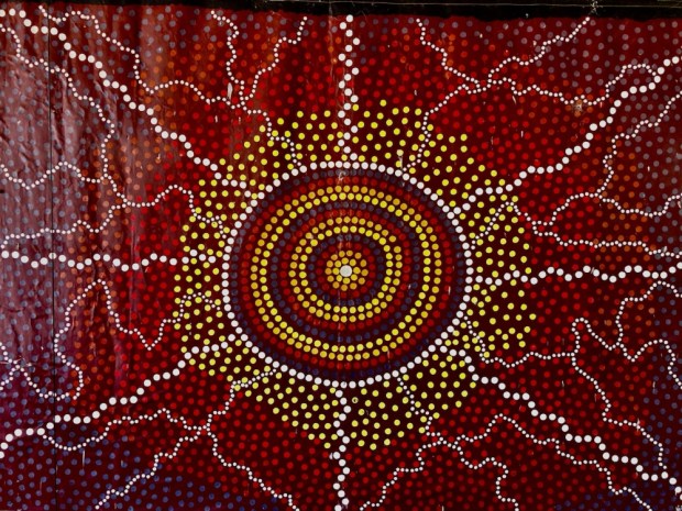
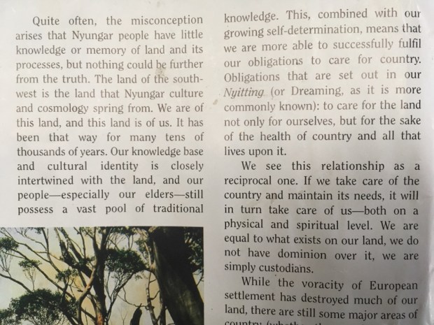
There was also some artworks dotted around the grounds and a heartbreaking memorial to the Stolen Generations of Aboriginal children forcibly removed from their families from 1905 until the 70’s, affecting between 1 in 10 and 1 in 3 indigenous children. A series of carved stone plaques with quotes from the victims about their damaged lives led us to the memorial of the “resocialisation” programme. Another art work we had seen in a Perth gallery had spoken about the success of that “programme”.
We’d had a wonderful trip across a beautiful landscape, but one with a troubled history of occupation that is still unresolved and problematic. Conflicting and contradictory attitudes towards the natural world where much of the land is fiercely protected and preserved whilst vast areas are destroyed and exploited, and towards the indigenous people who are held up as the “traditional custodians of the land” and yet marginalised and unequal in almost every way. As the early settlers and those that came after them camped in the same spots used by the “locals” for millennia so they set about undermining the continuation of what had been a truly sustainable lifestyle, with the defence that the land wasn’t being “used”.

Flying back across the empty red deserts of central Australia from Sydney to the north coast of W.A. I watched the desert landscape roll by underneath us for 4 hours, and reflected that it took a highly intelligent, skilled, practical and sensitive peoples to survive out there for 50,000 years.


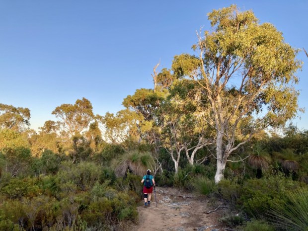


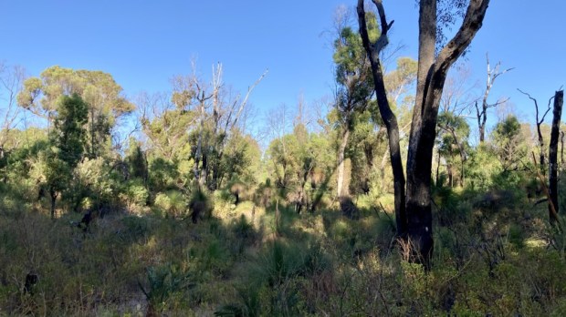

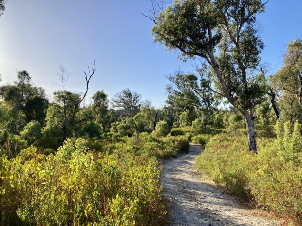


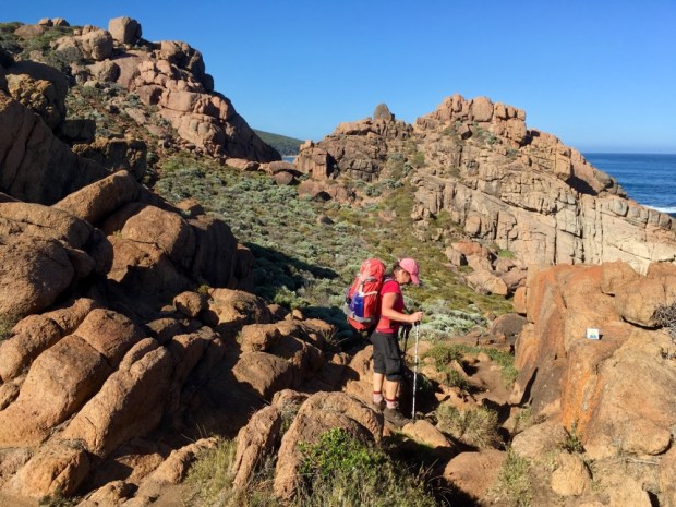
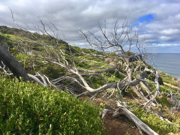
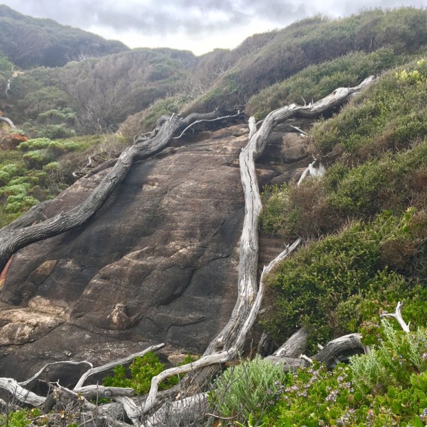
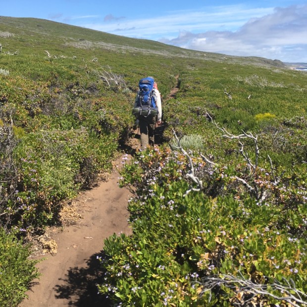
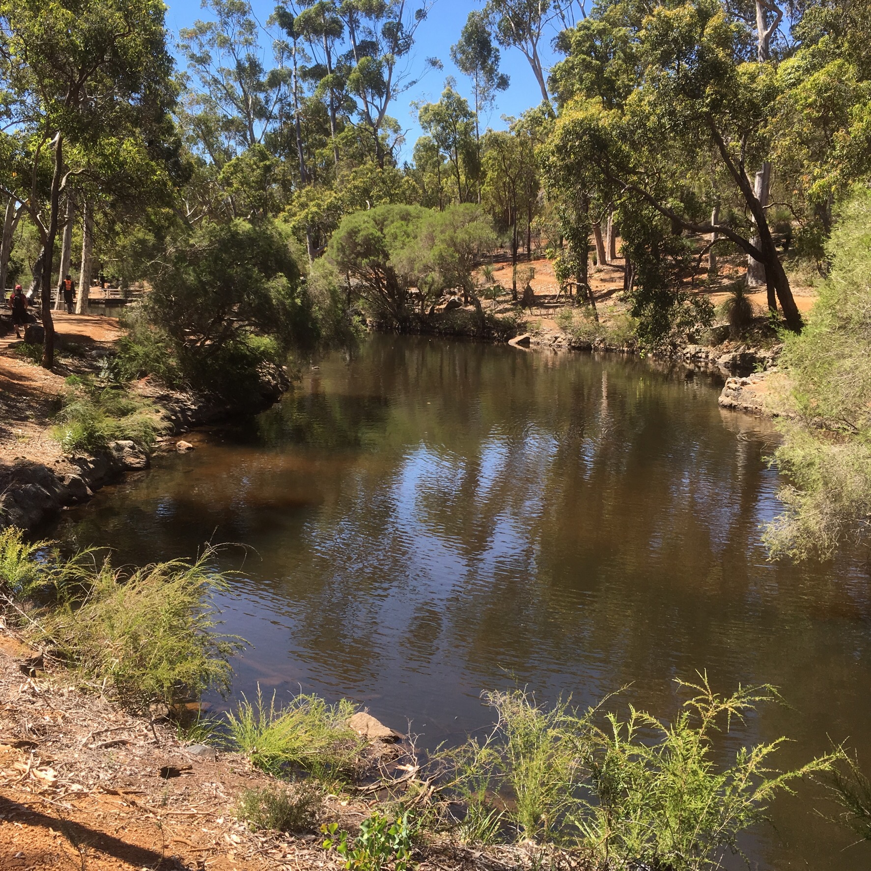
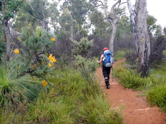
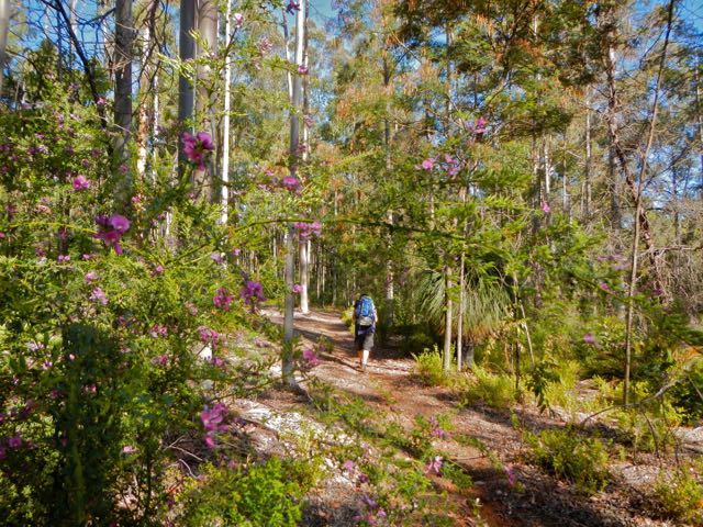
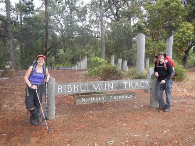
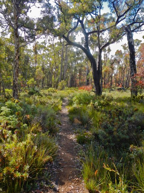
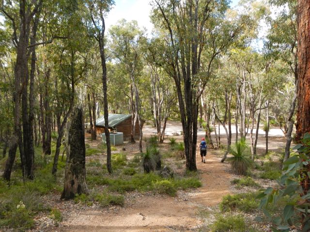
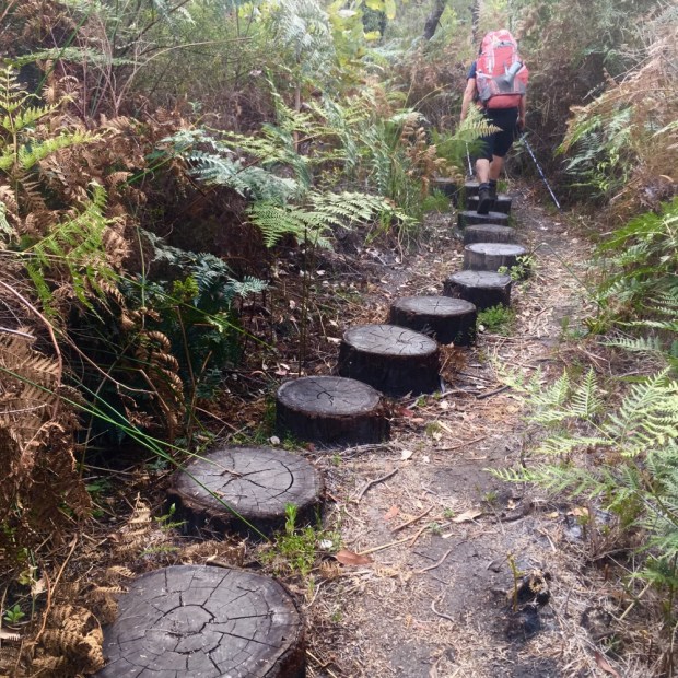
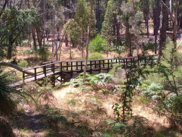
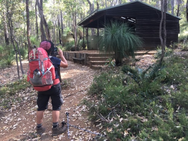
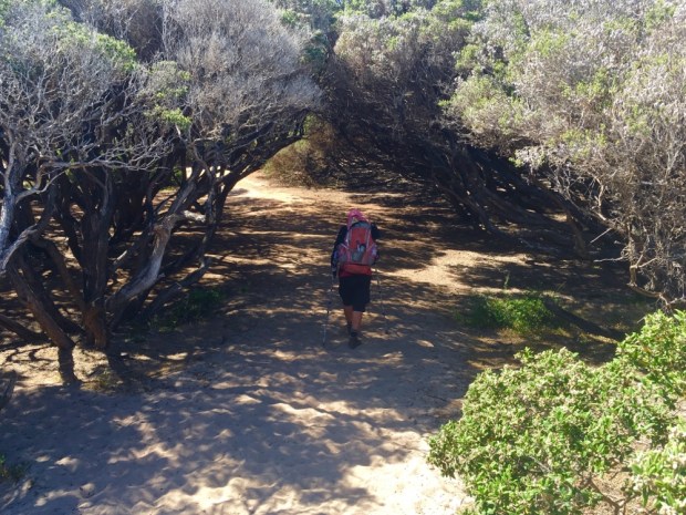
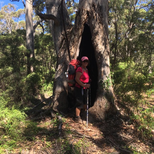
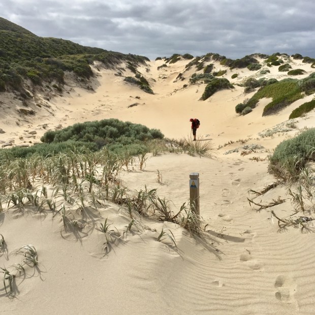
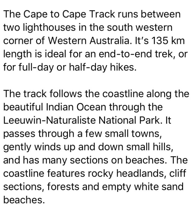
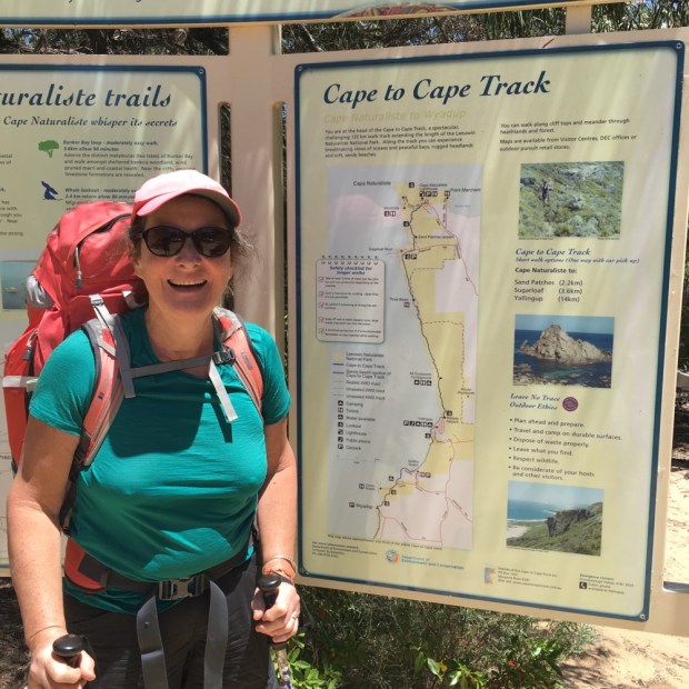
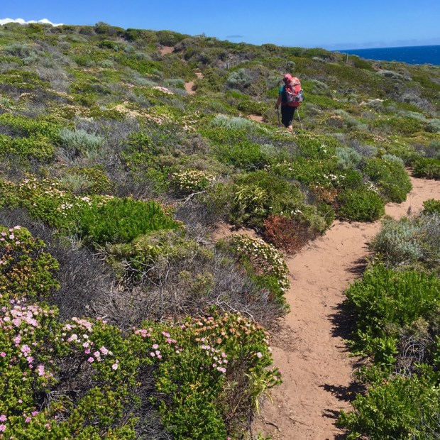
 7 years ago I wrote about a 10 day /200km hike we’d done in the forests of Western Australia on a wonderful track that goes all the way from Perth to the south coast. We had walked from Kalamunda, at the start, to the next trail town of Dwellingup and had loved the experience. Back in Oz we were determined to do another stretch of the 960km Bibbulmun Track but after completing the Cape to Cape time available was running short.


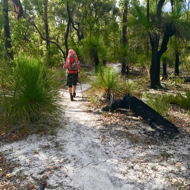


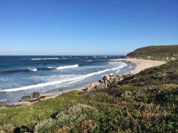


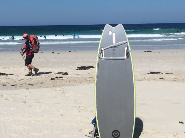


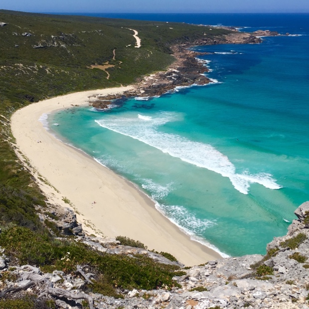


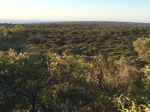


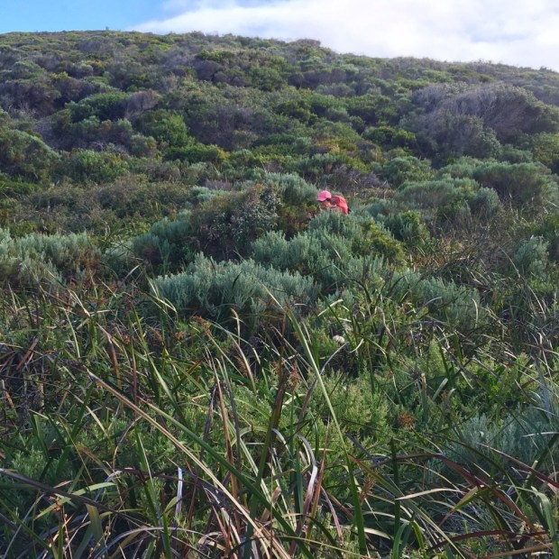

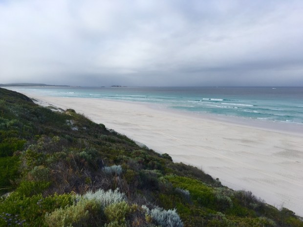
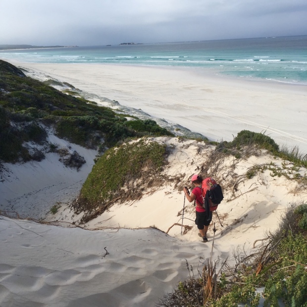


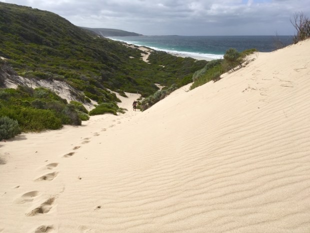


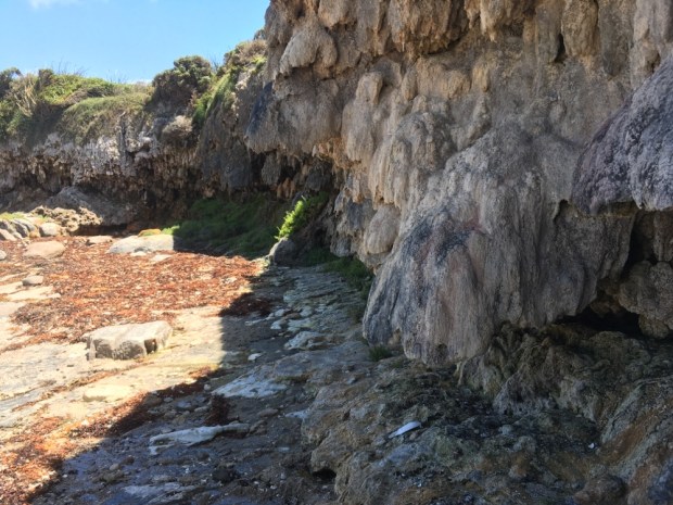


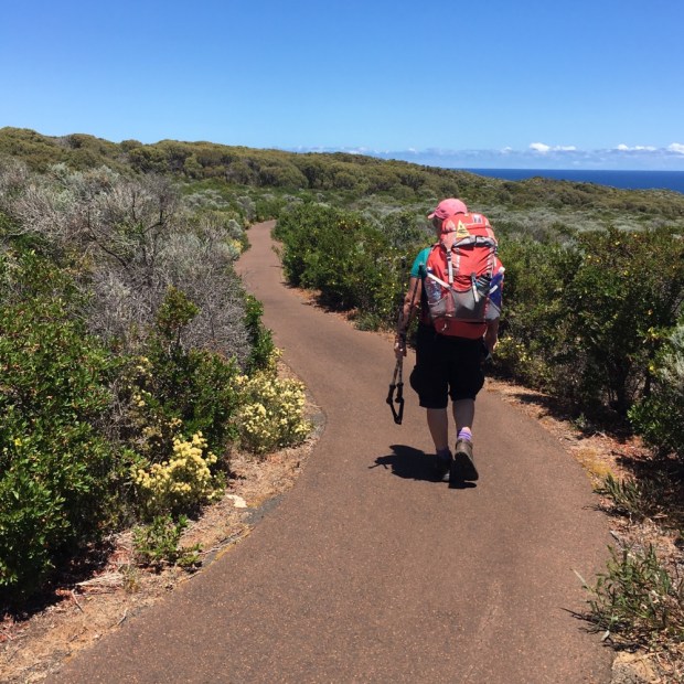


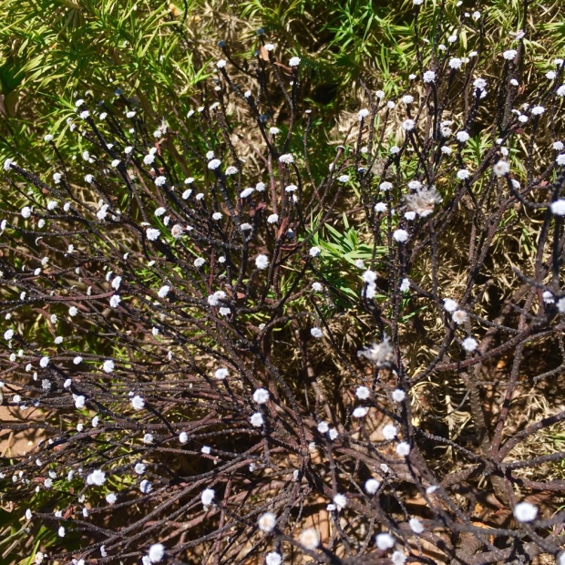
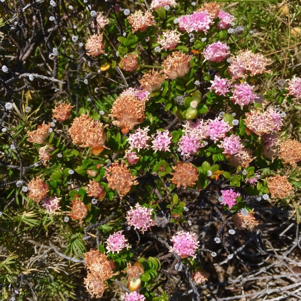

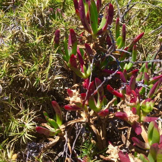


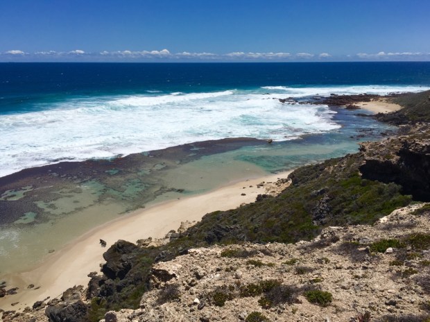

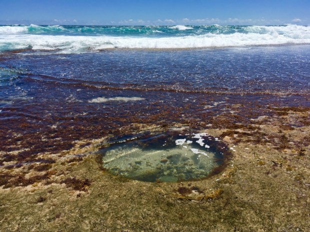


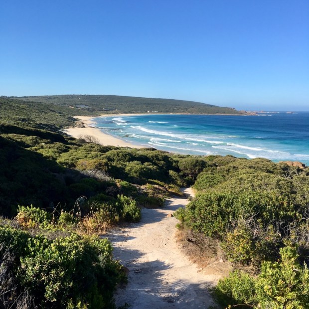
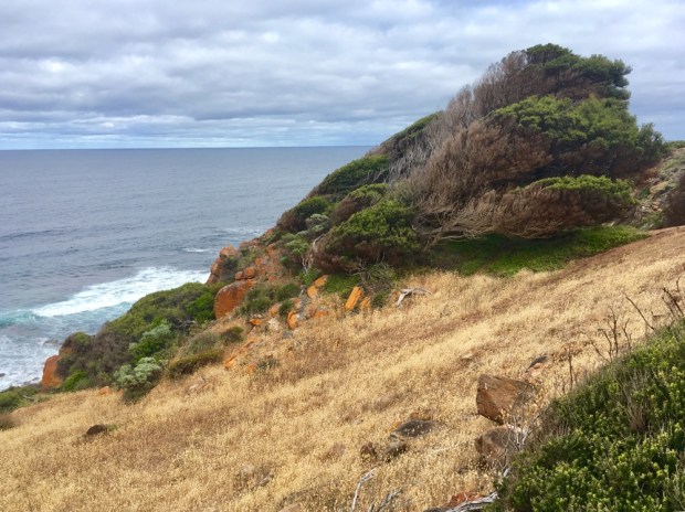
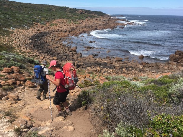
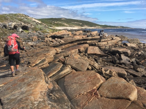
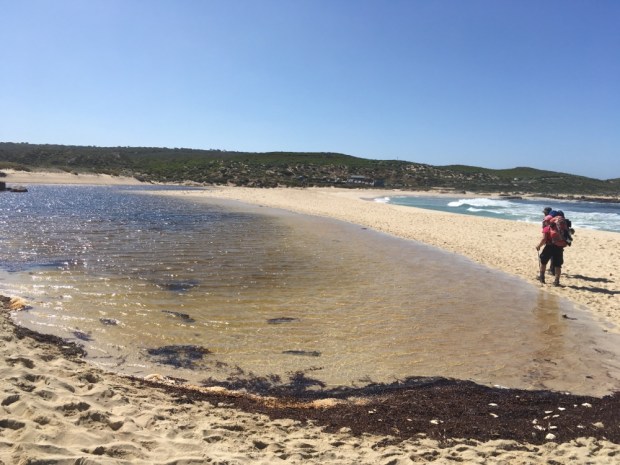
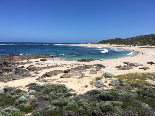
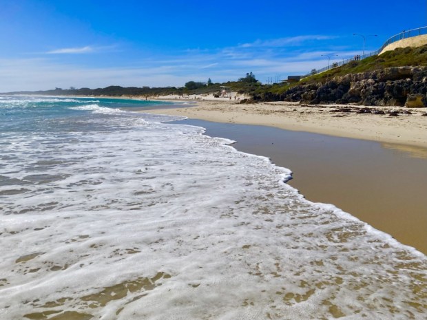
 Up and on the trail by 7 with the sun already climbing steadily it was another fine day for the many surfers along this coast. There are quiet a few 4 wheel drive tracks that give them access to amazing beaches and breaks and we stopped for me to have a swim at one where a pod of dolphins rode the waves next to the surfers.