GR249

EL SALTILLO-Getting high in Axarquia

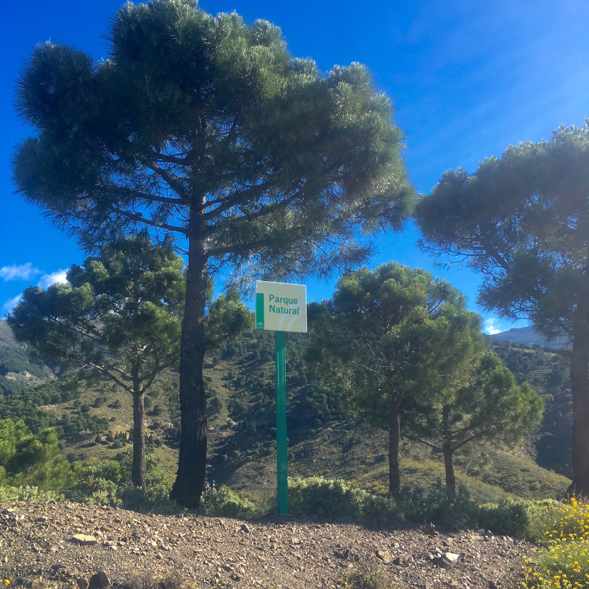
A dramatic walking route opened in the Parque Natural de Tejeda, Almijara y Alhama in October 2020 after many months construction. An old path following irrigation canals and pipes into the mountains above Canillas de Aceituno was transformed with a steel and timber suspension footbridge and other hanging walkways fixed to sheer cliff faces.

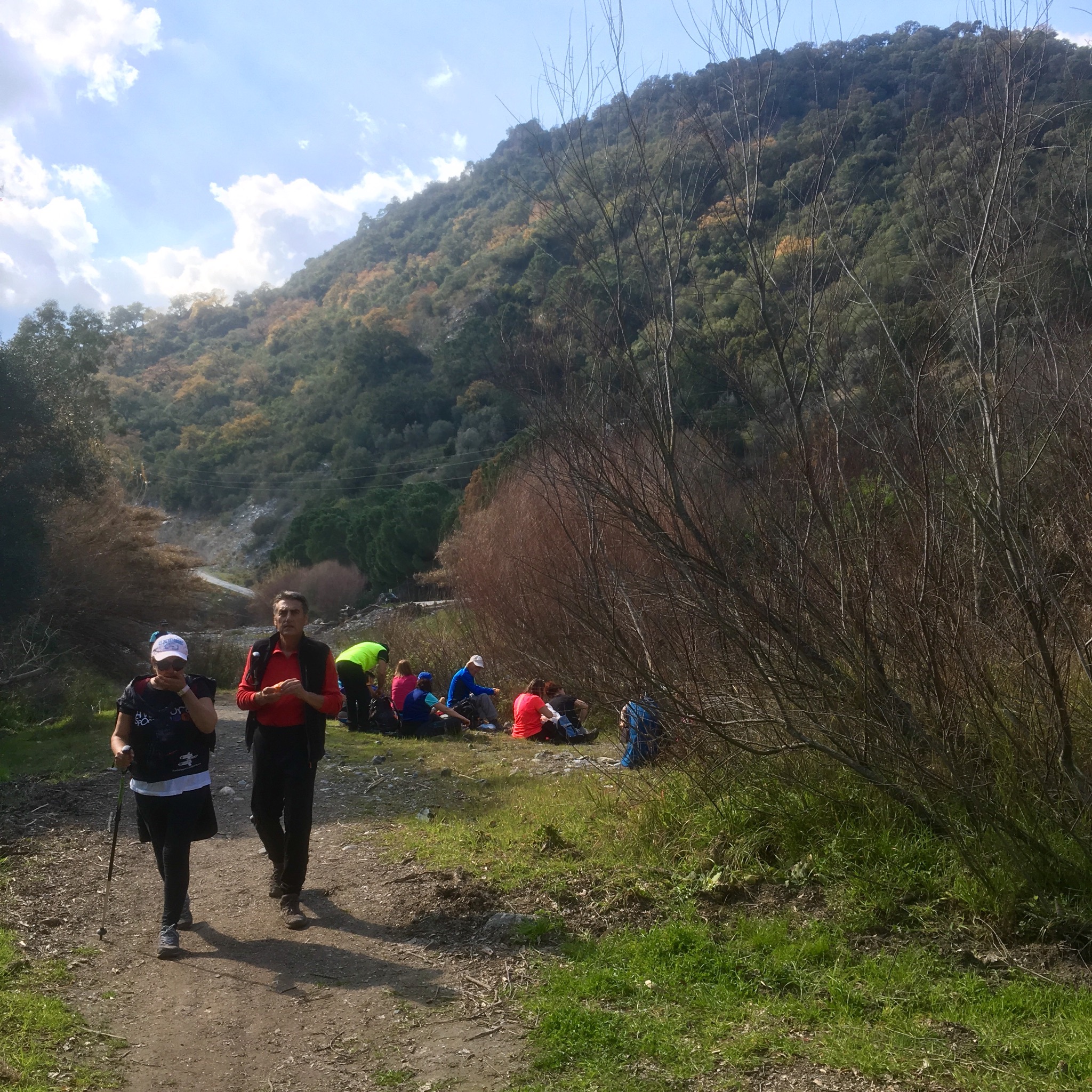
The €600,000 investment is hoped to bring in much needed tourist revenue to the area and it seems to be paying off. The day we tackled it the town at the start was busy with people with poles, and the pandemic has led to many more people exploring the vast natural areas away from the more crowded costa. In fact some places such as the Caminito del Rey and El Torcal have become a victim of their own success with long queues, traffic jams and overcrowding but we’ve always found that away from the honey pots Andalucia has space aplenty.

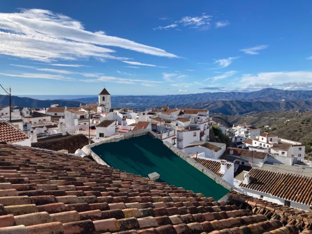
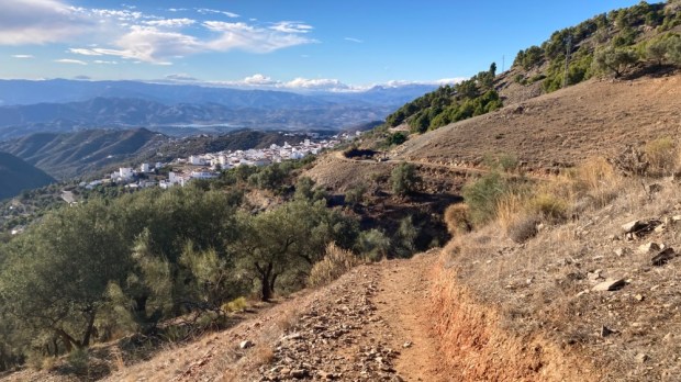
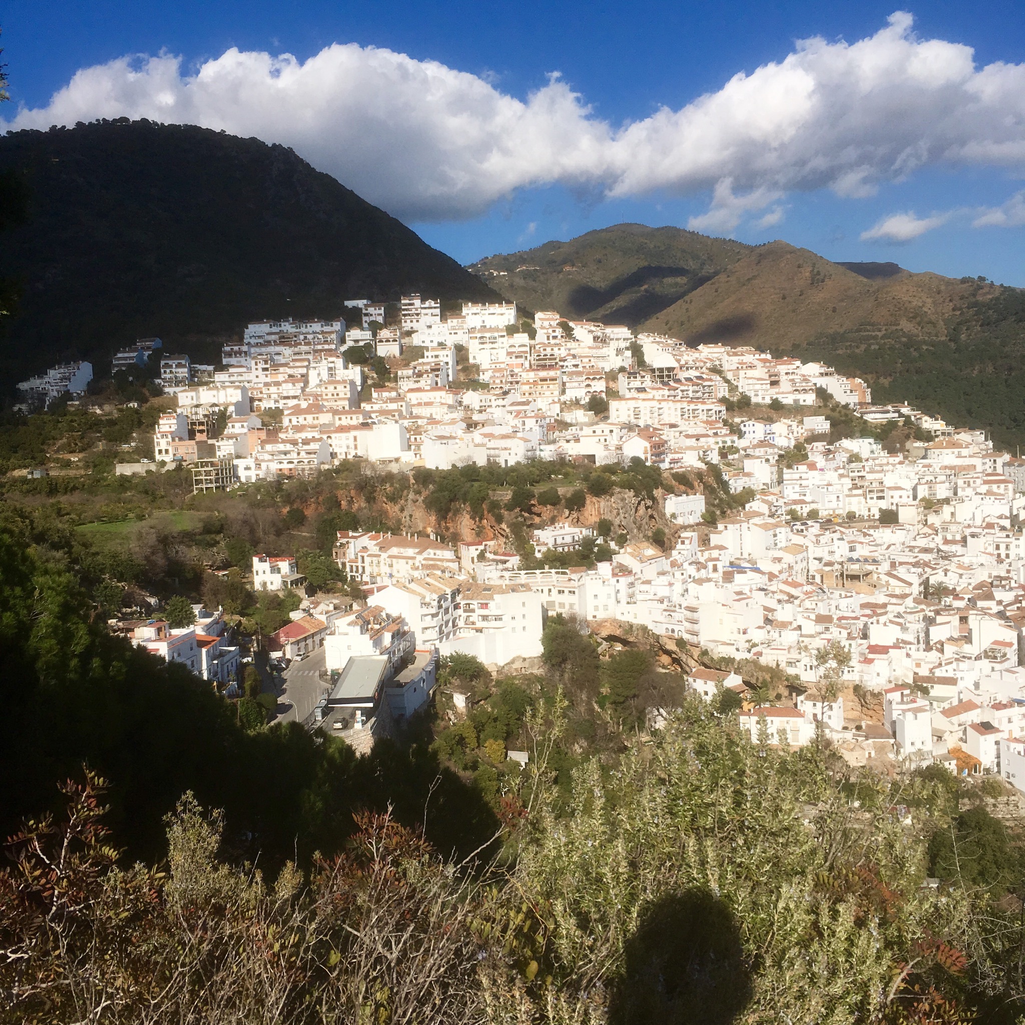
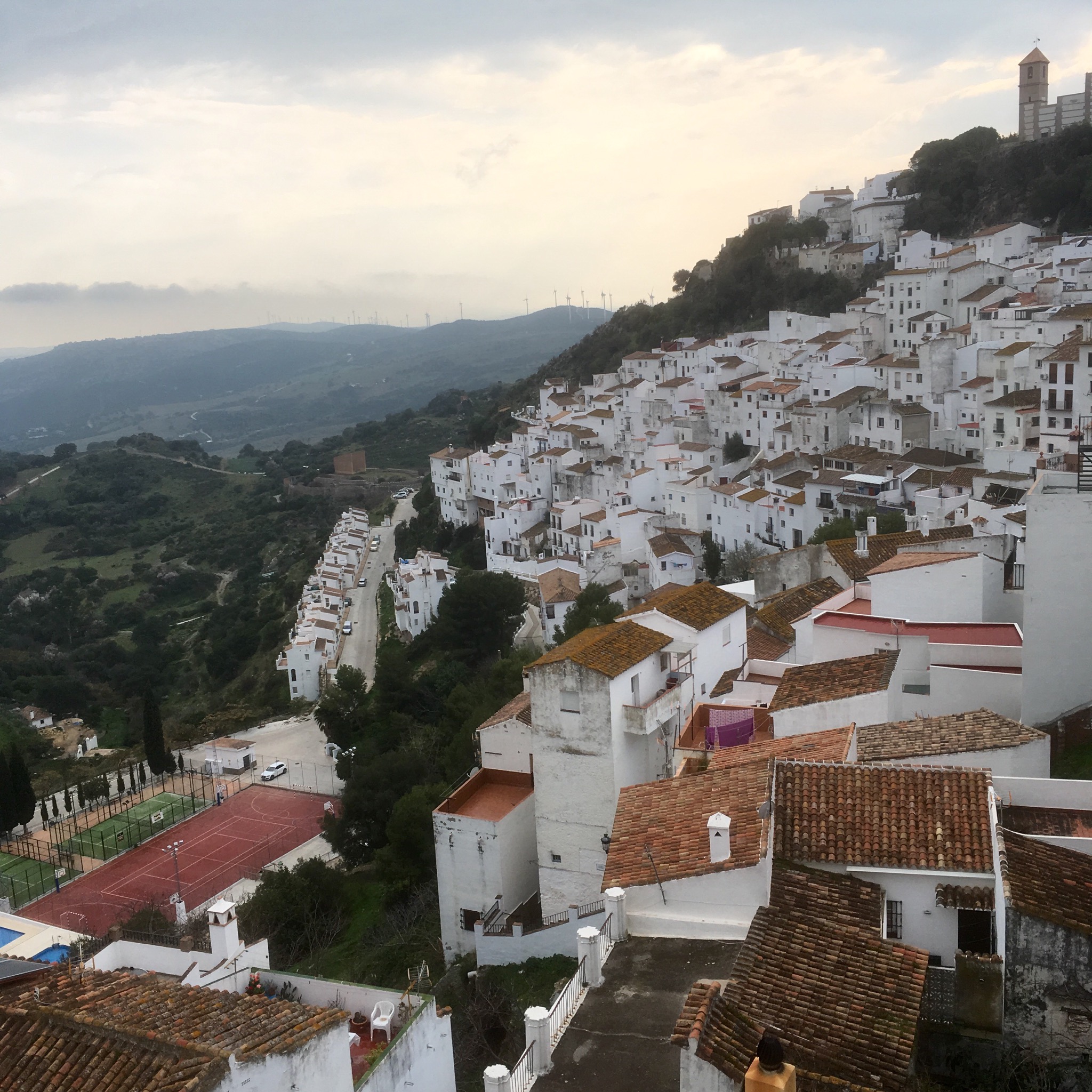
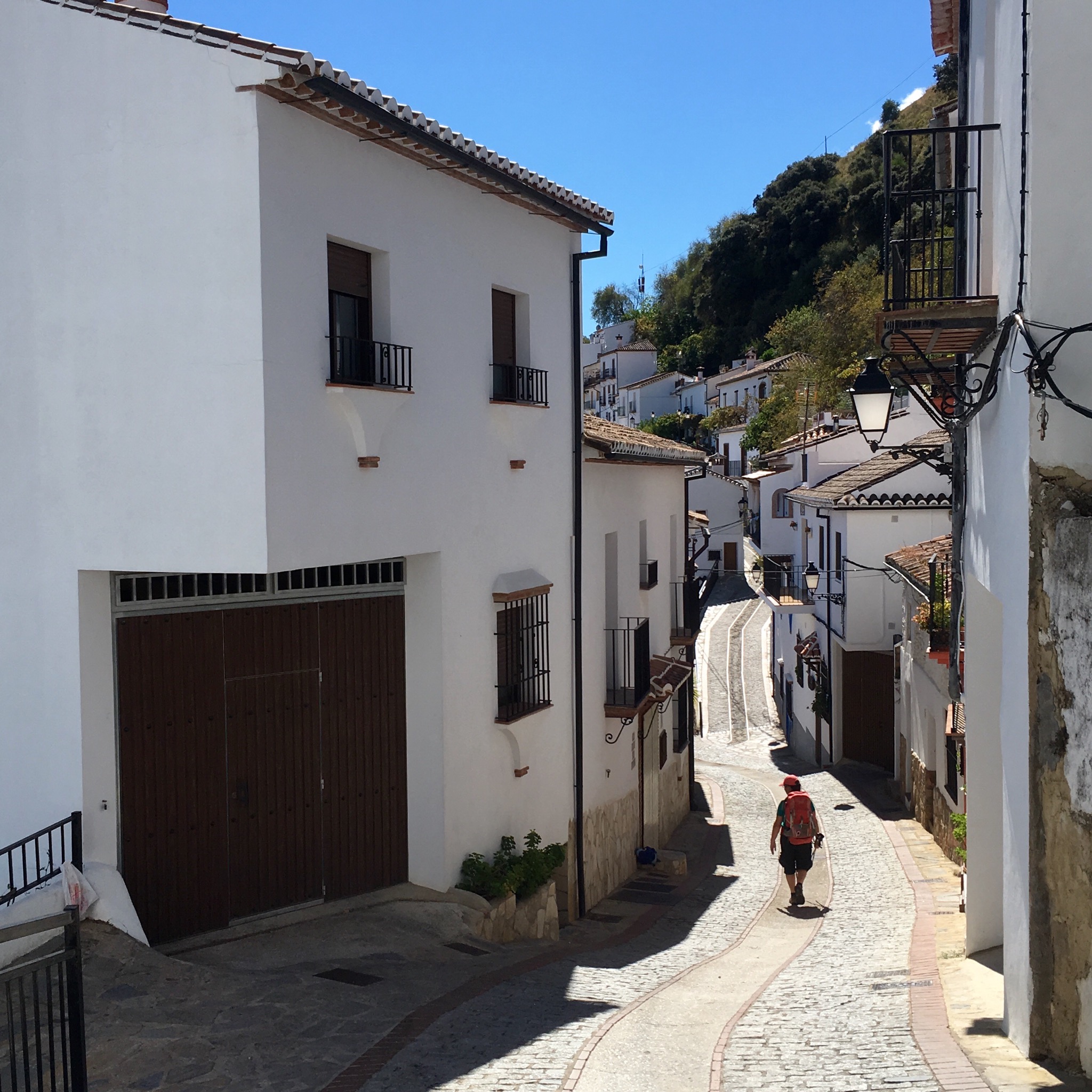
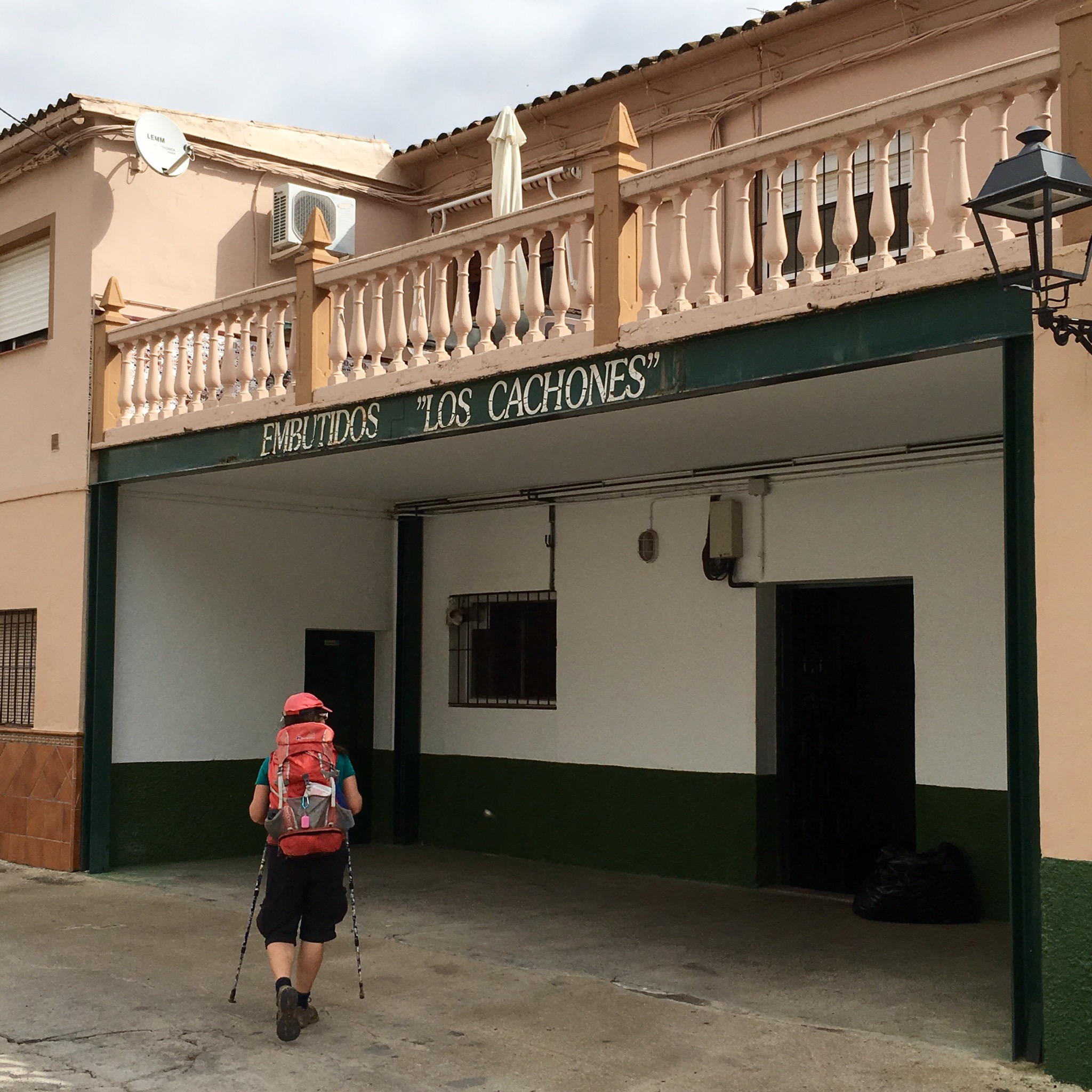
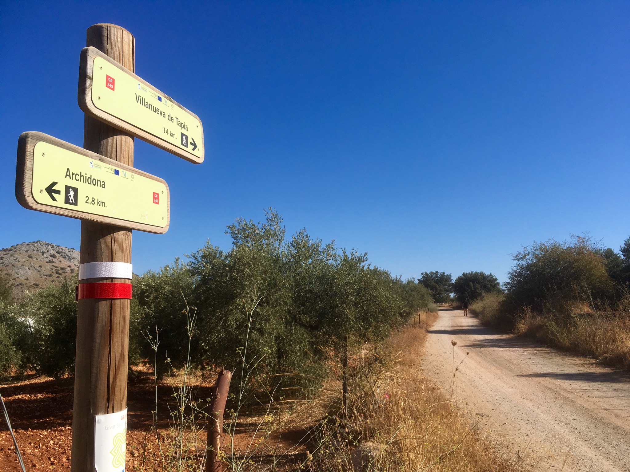
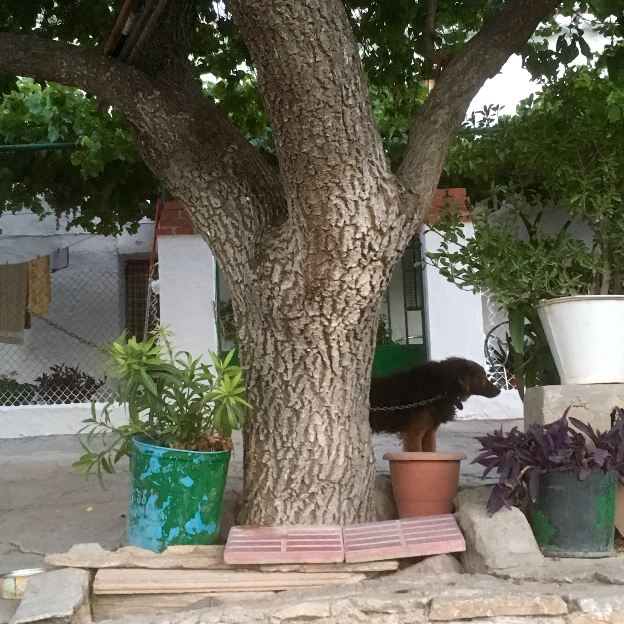
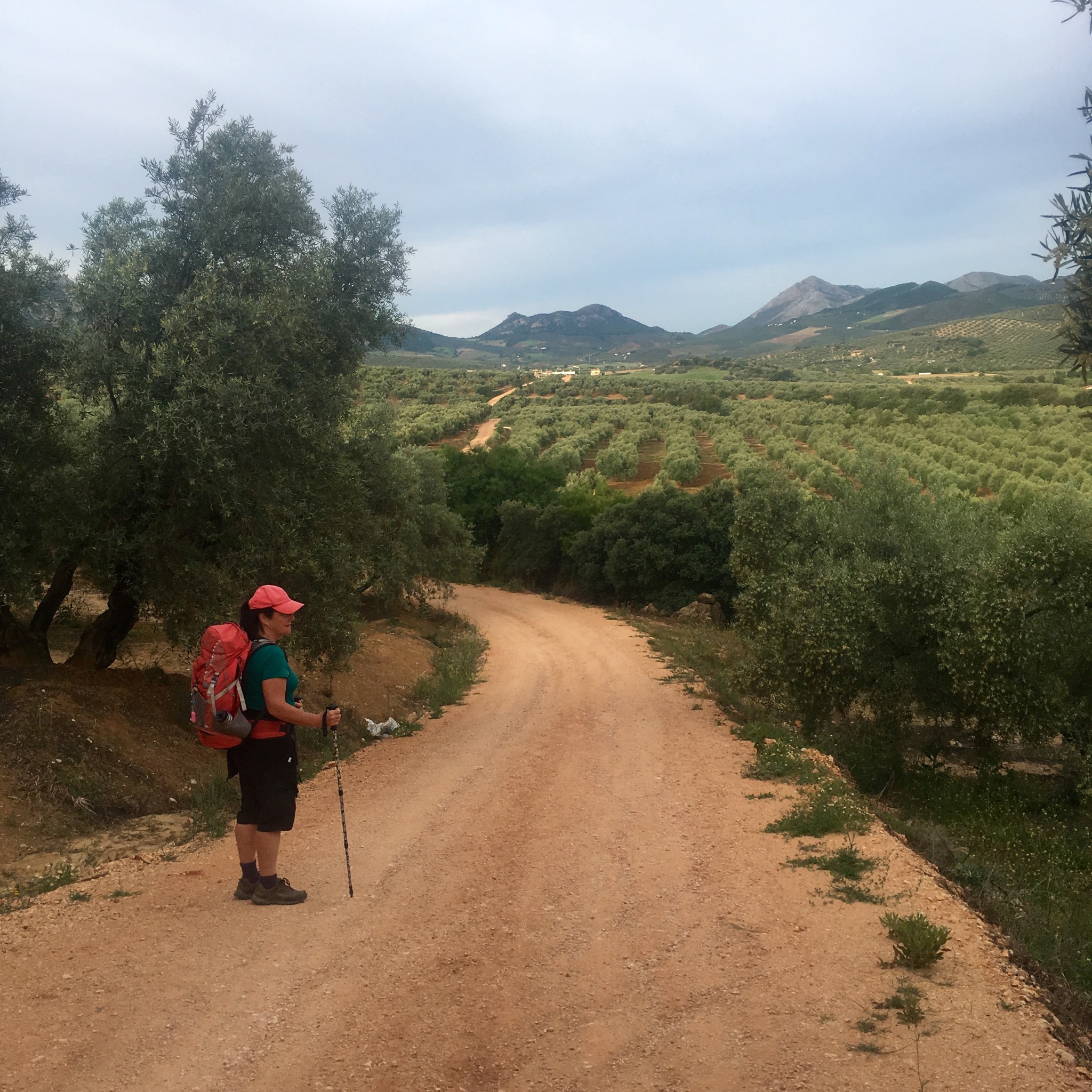
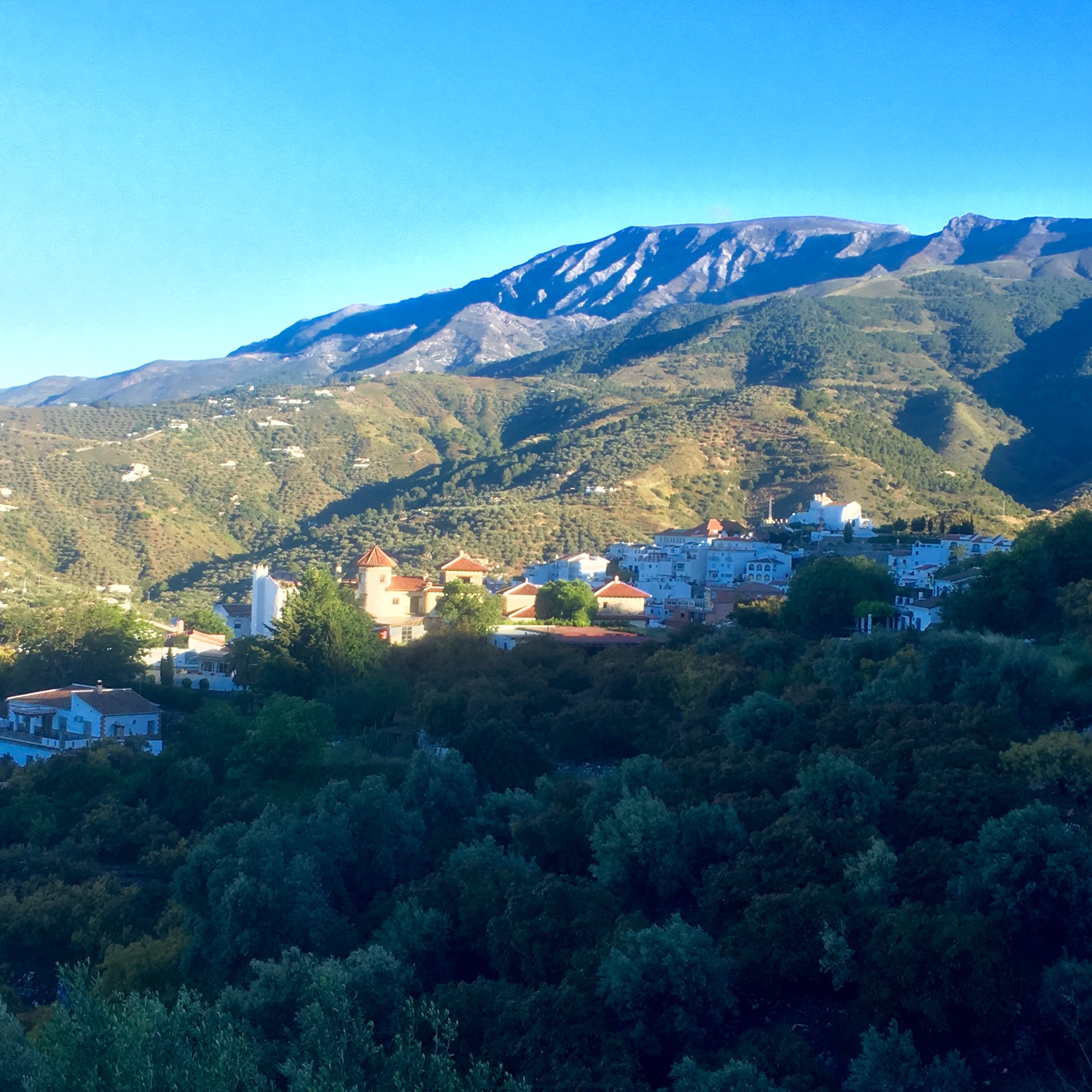
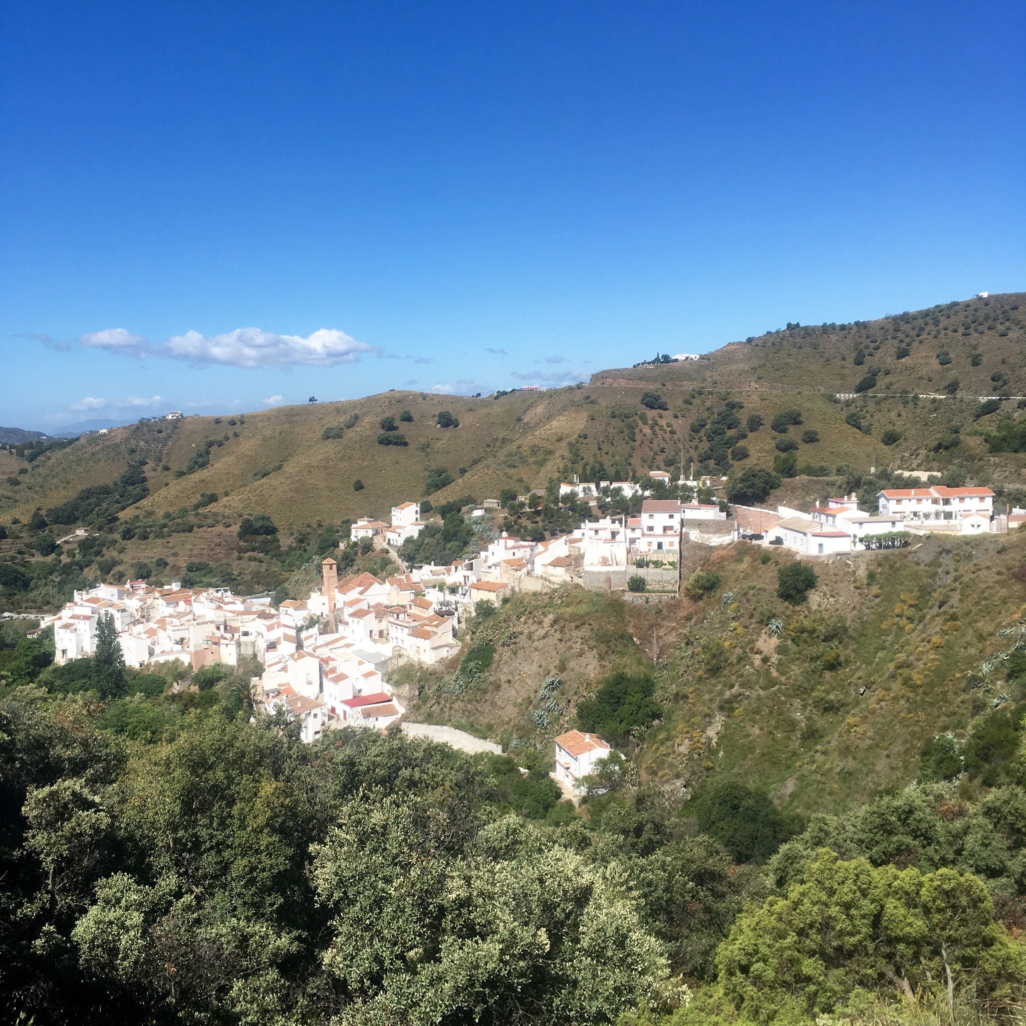
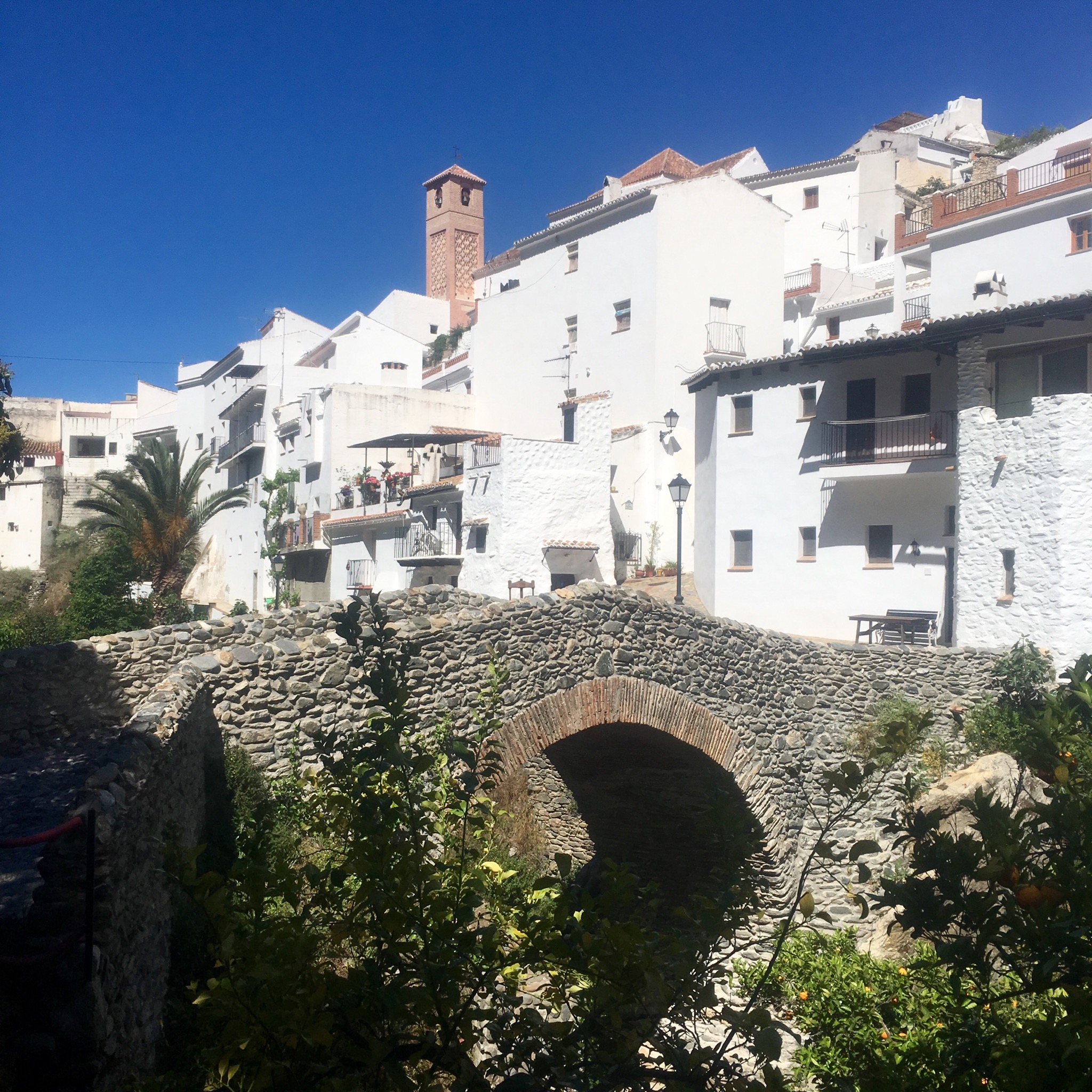
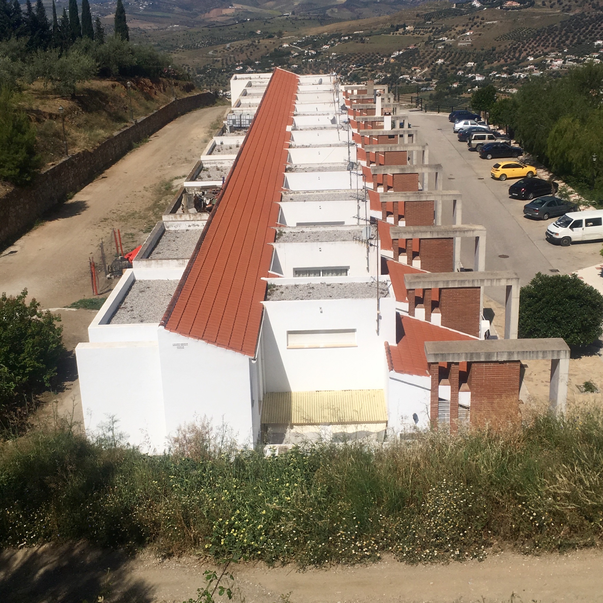
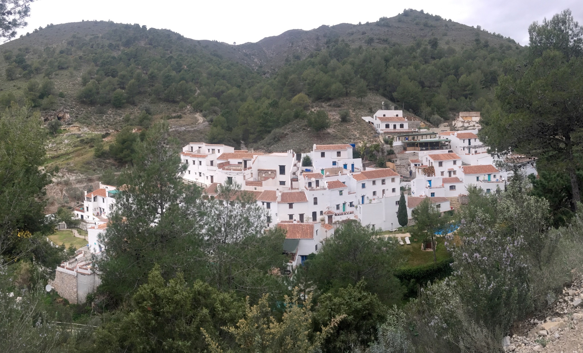
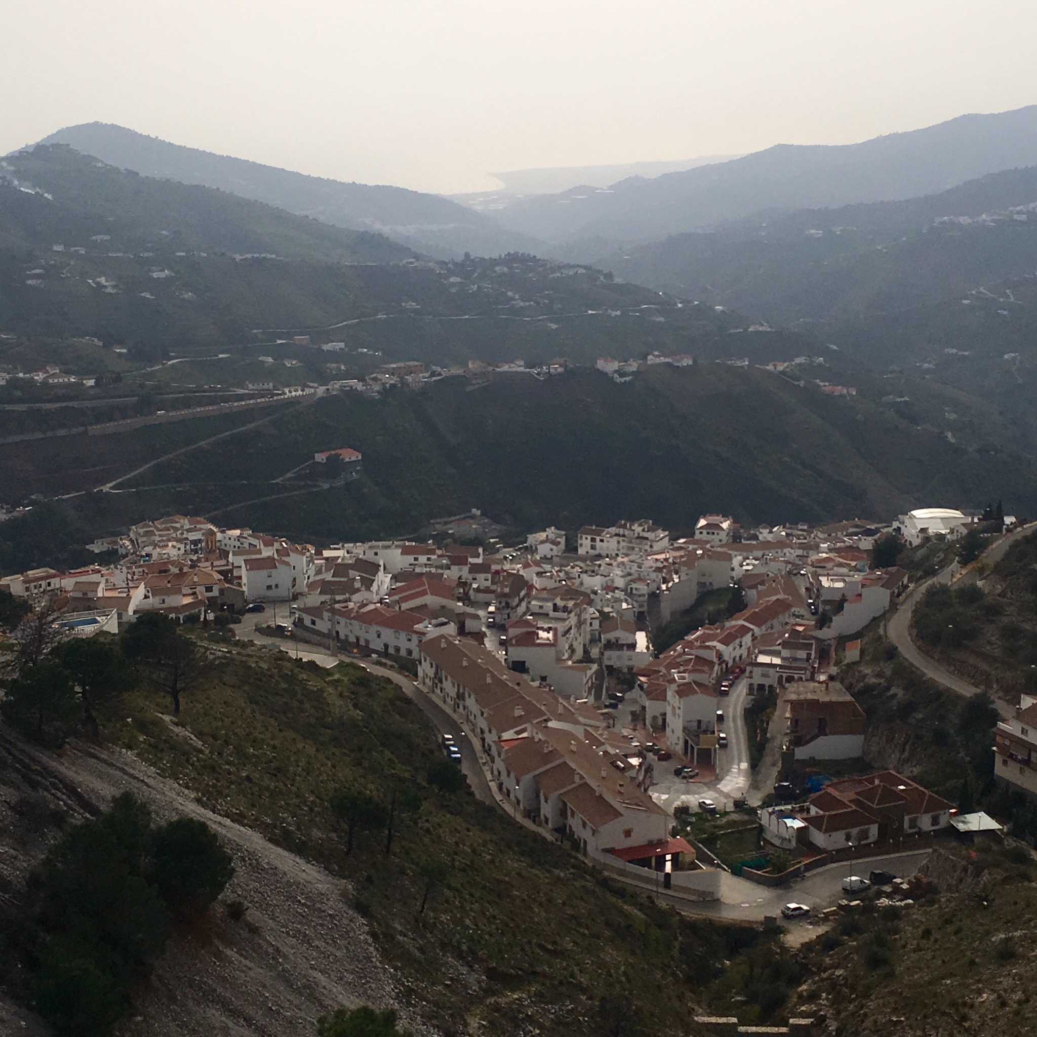
The walk starts in the Pueblo Blanco of Canillas de Aceituno at about 600m. If you just go to the bridge it’s a 8 km out and back but we were going to continue on and up to a mirador to make a hike of 11km.

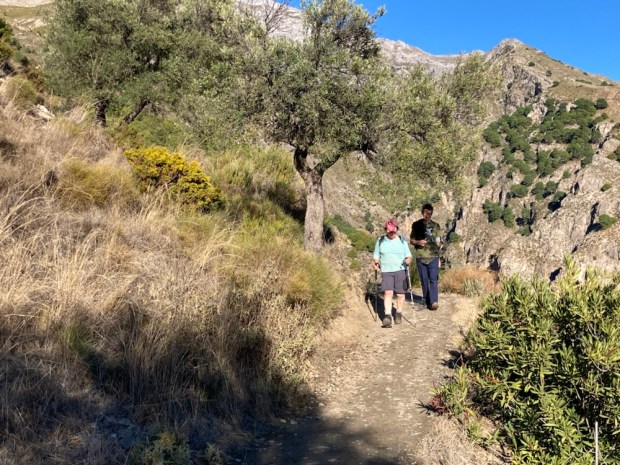
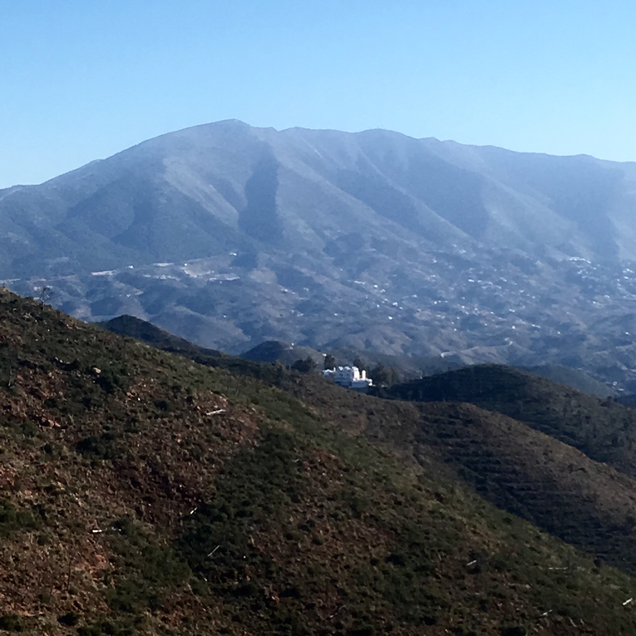
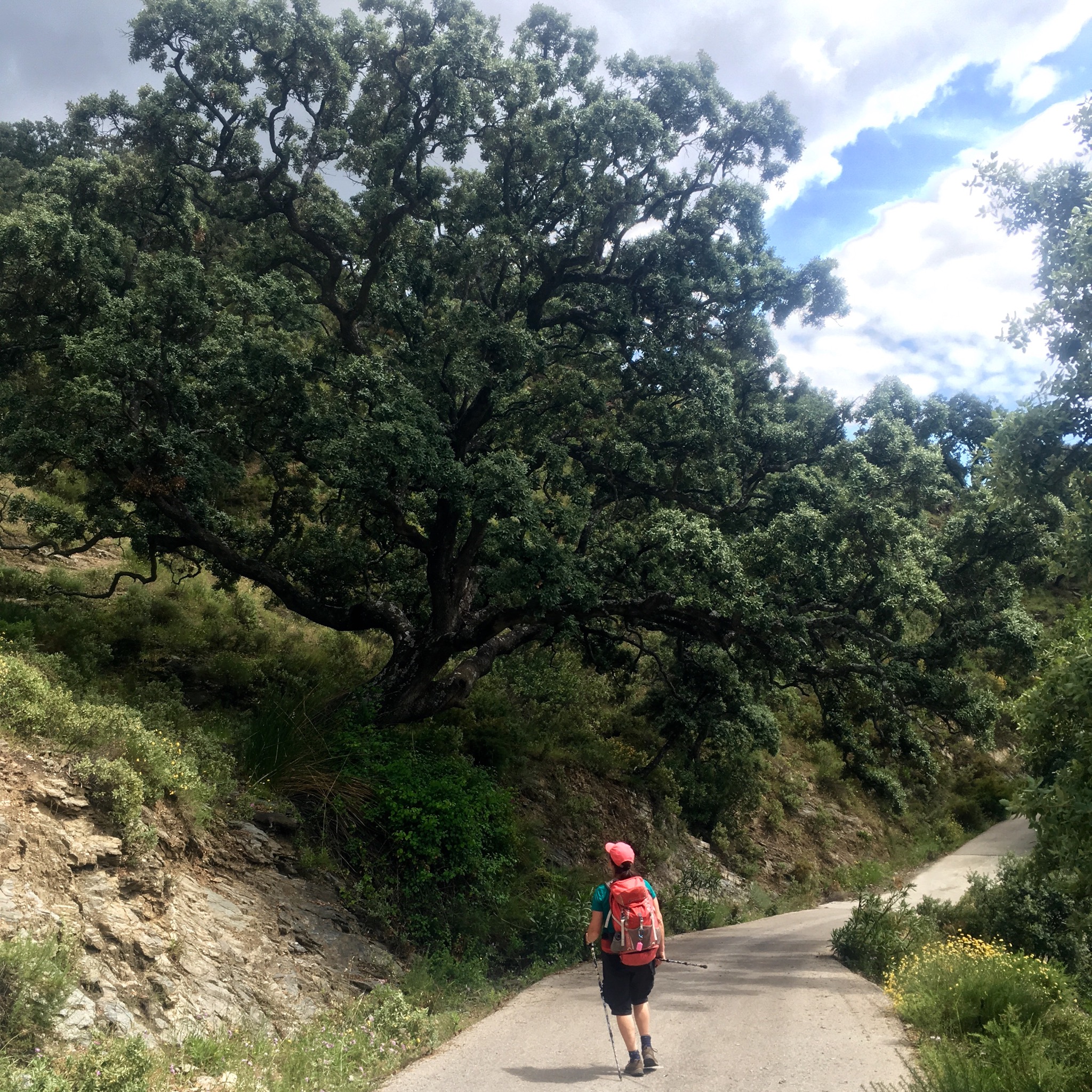
After a quick coffee we followed the signs steeply out the back of the town on a route that continues to the summit of Maroma, at 2065m, the high point of Malaga province.

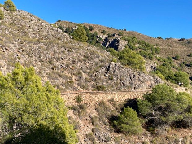
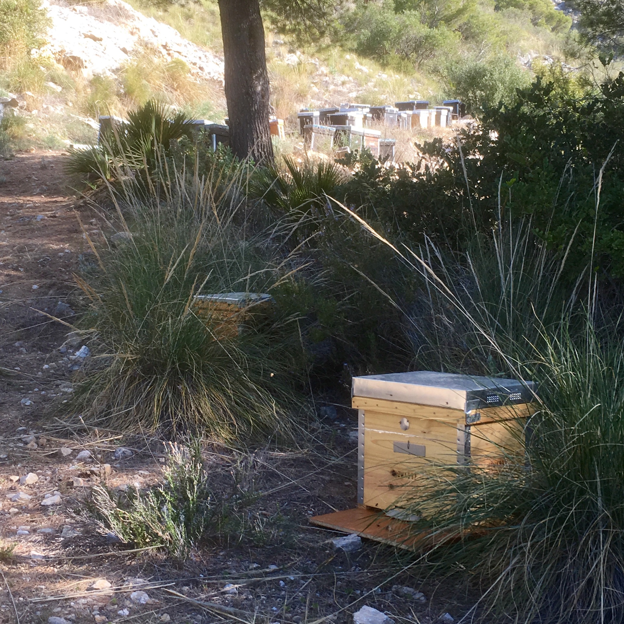
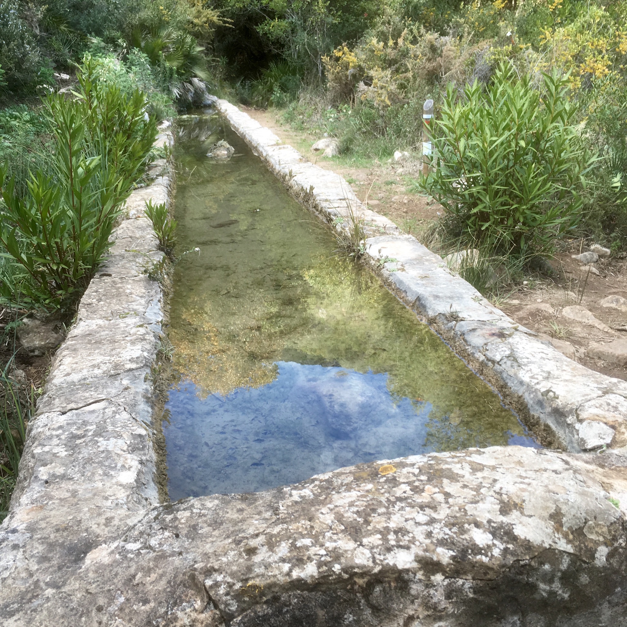
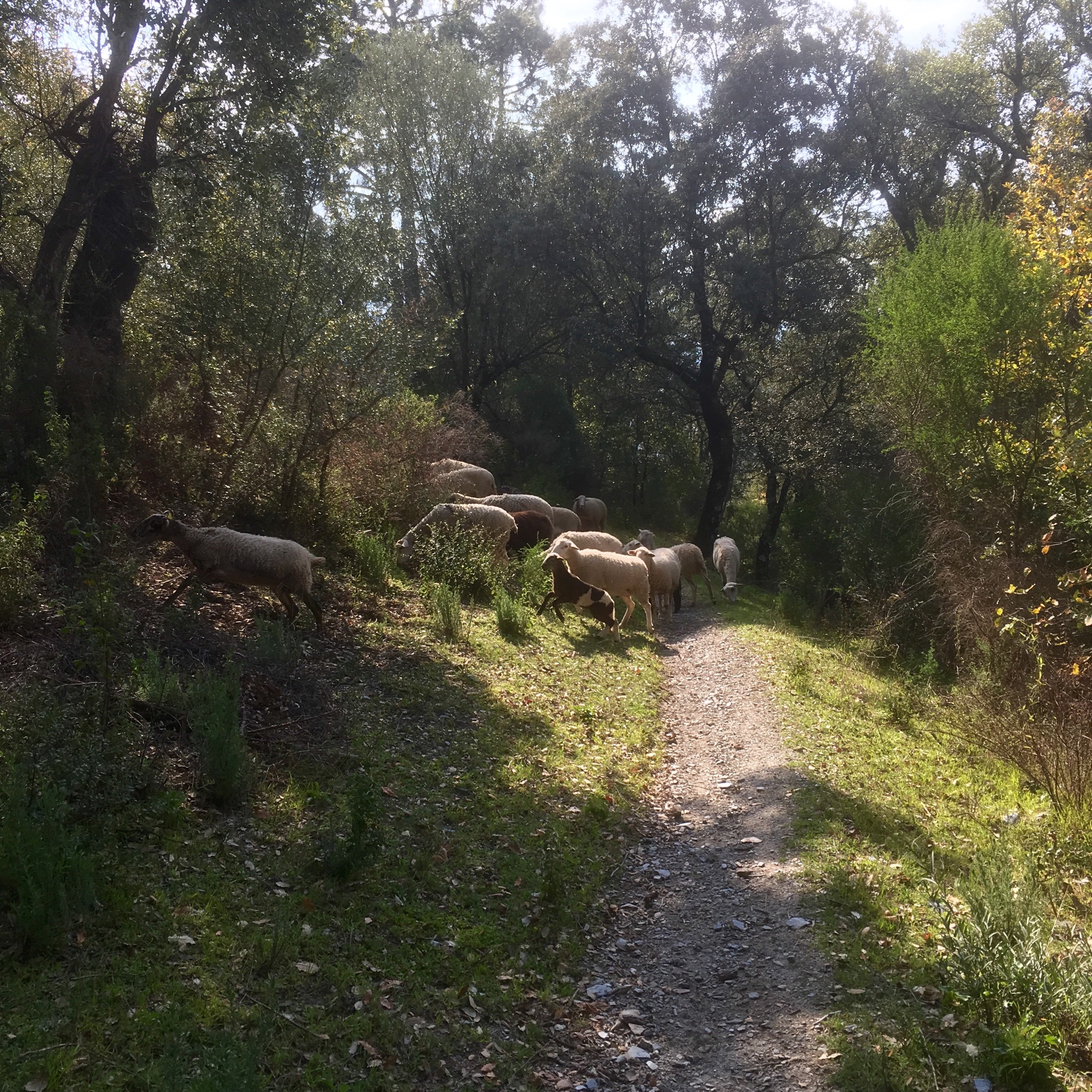
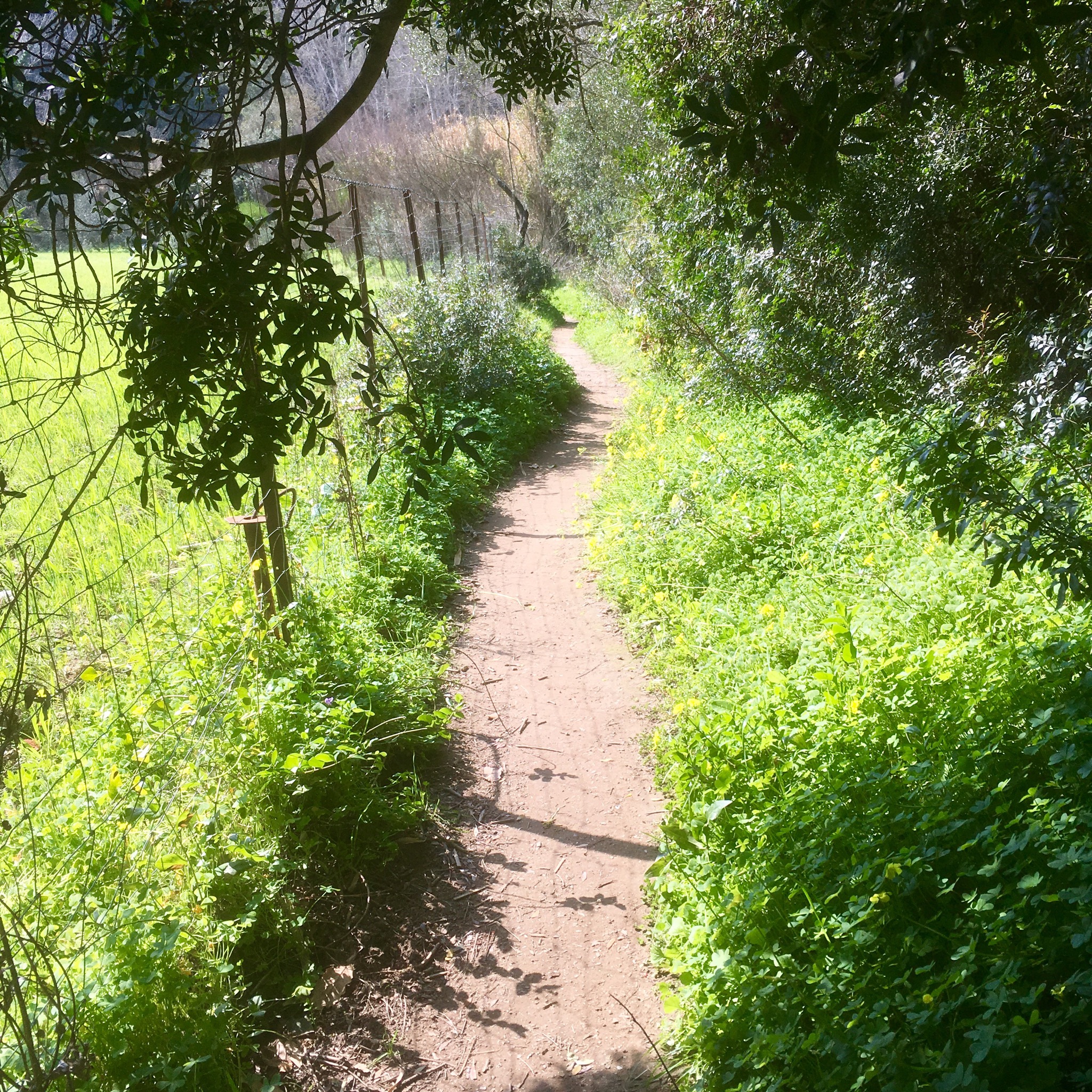
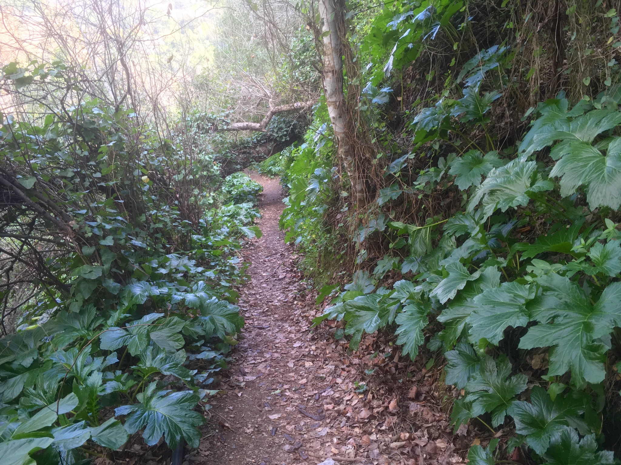
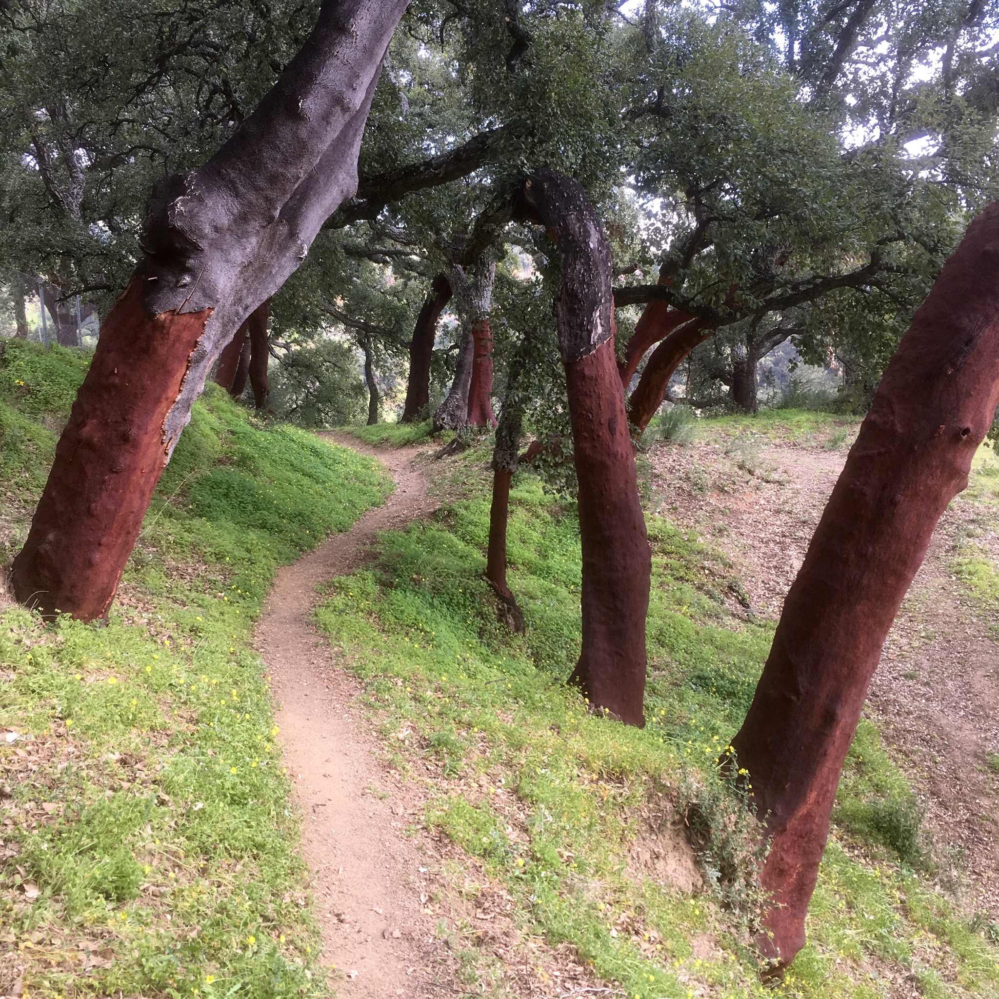
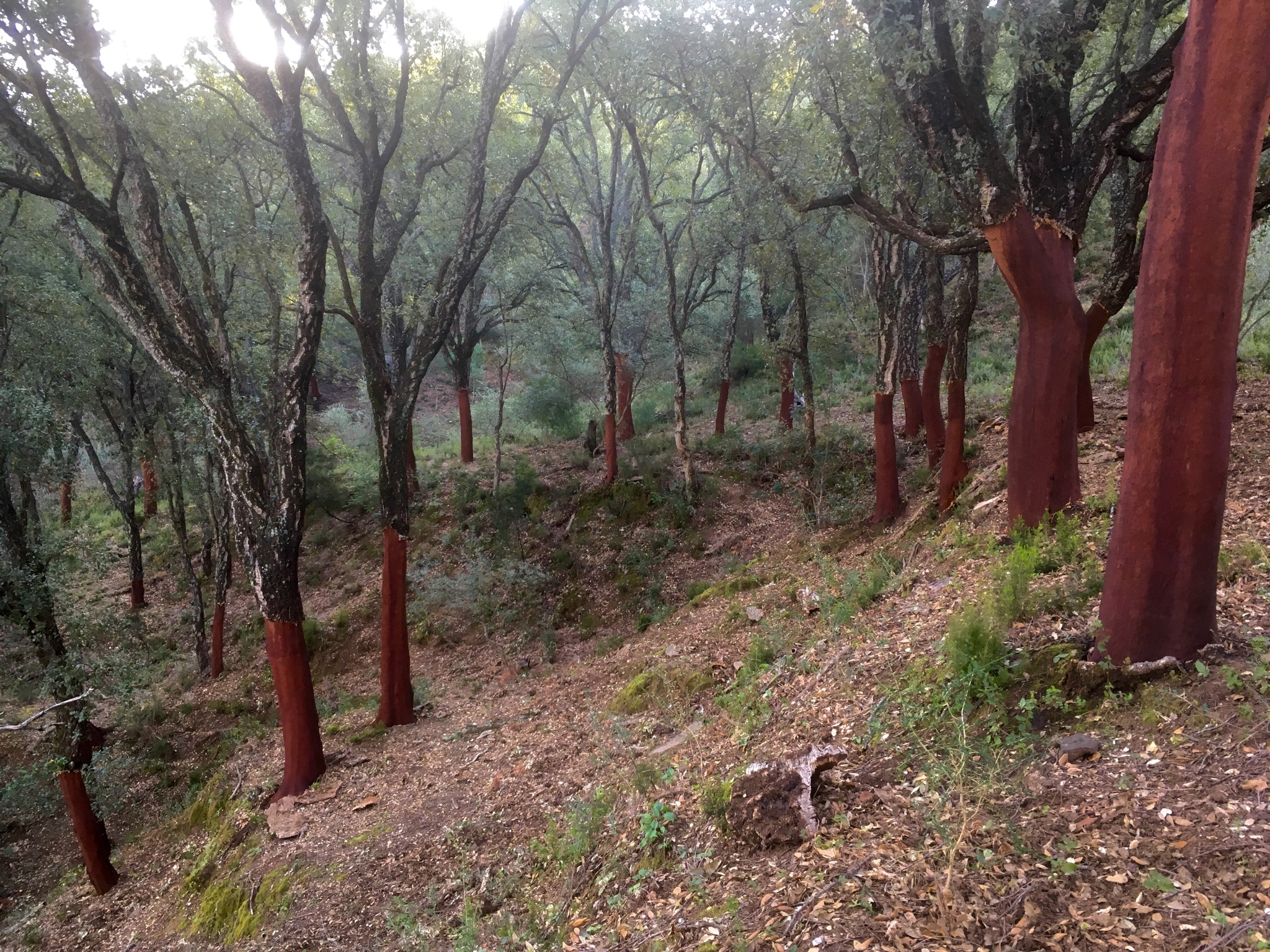
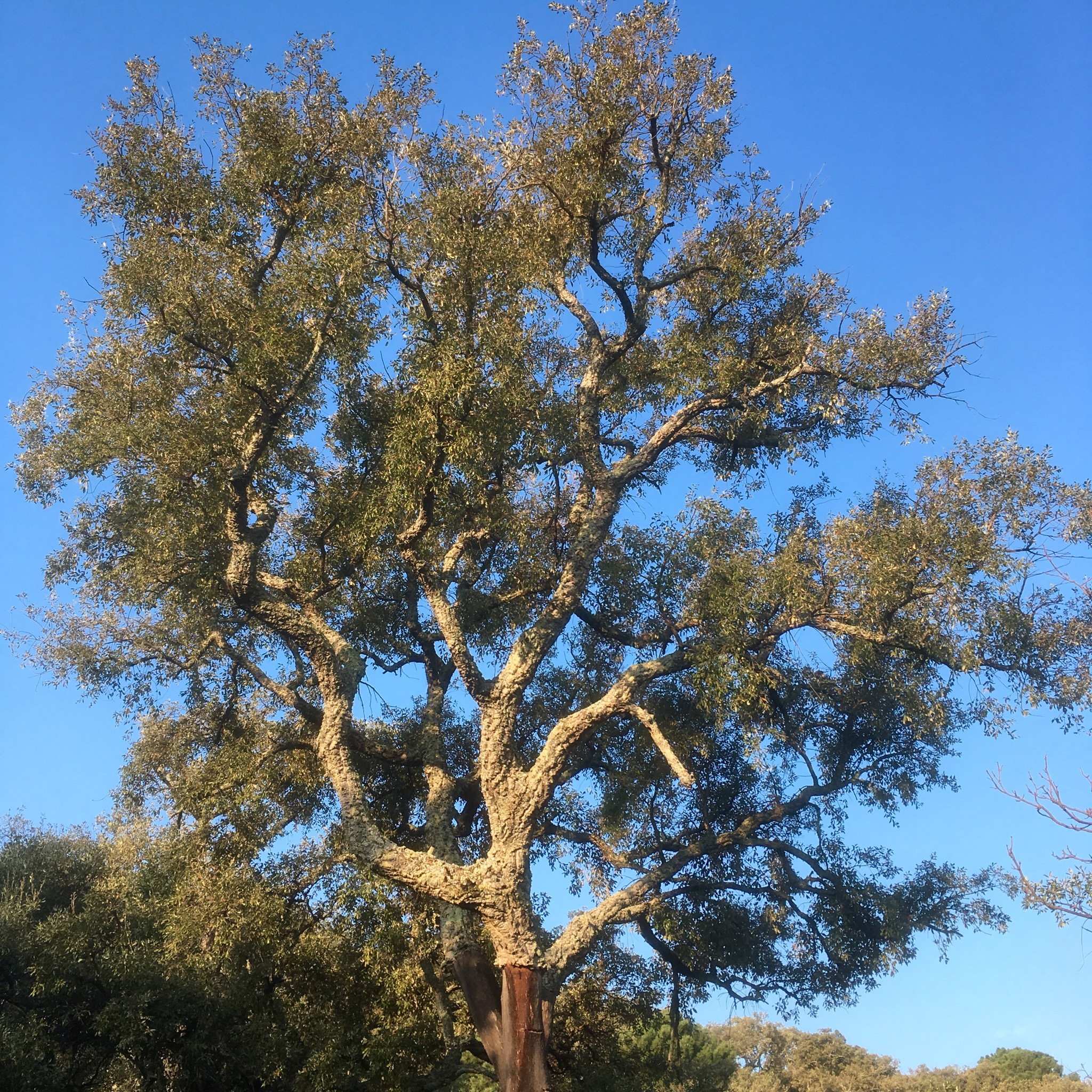
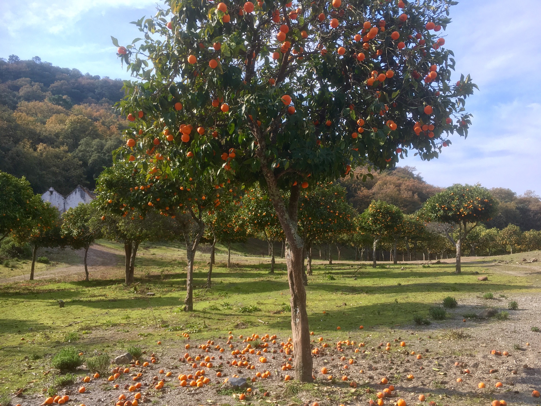
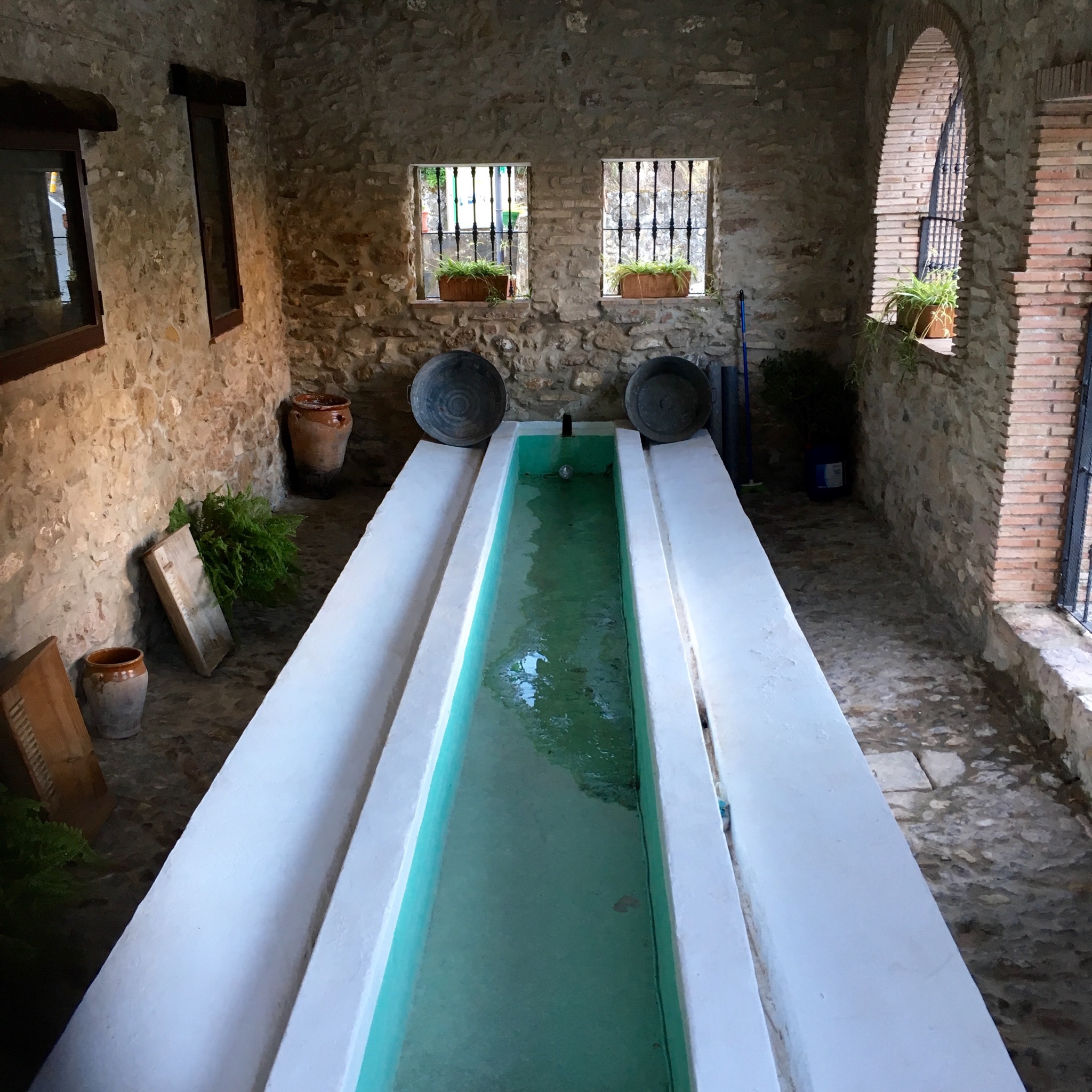
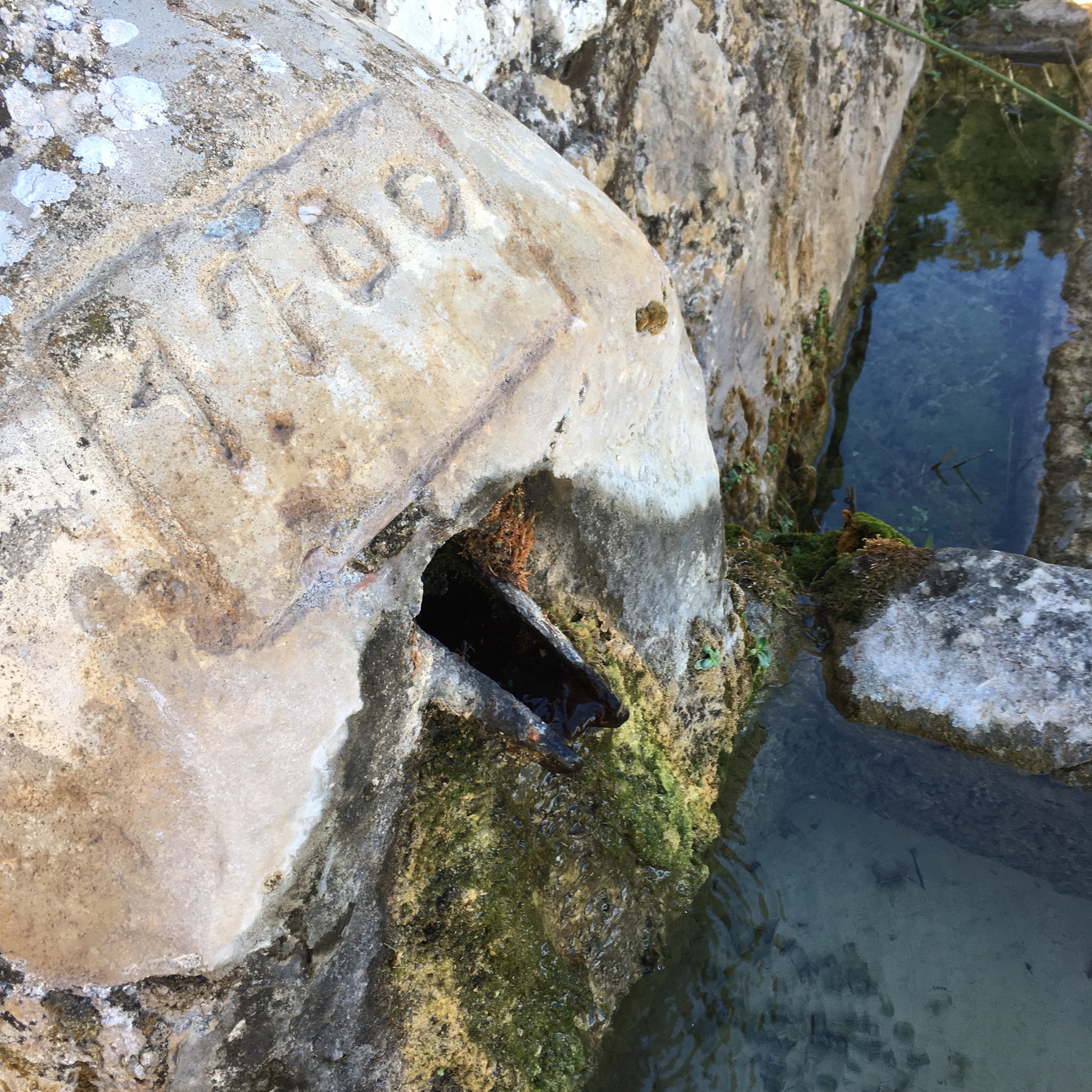
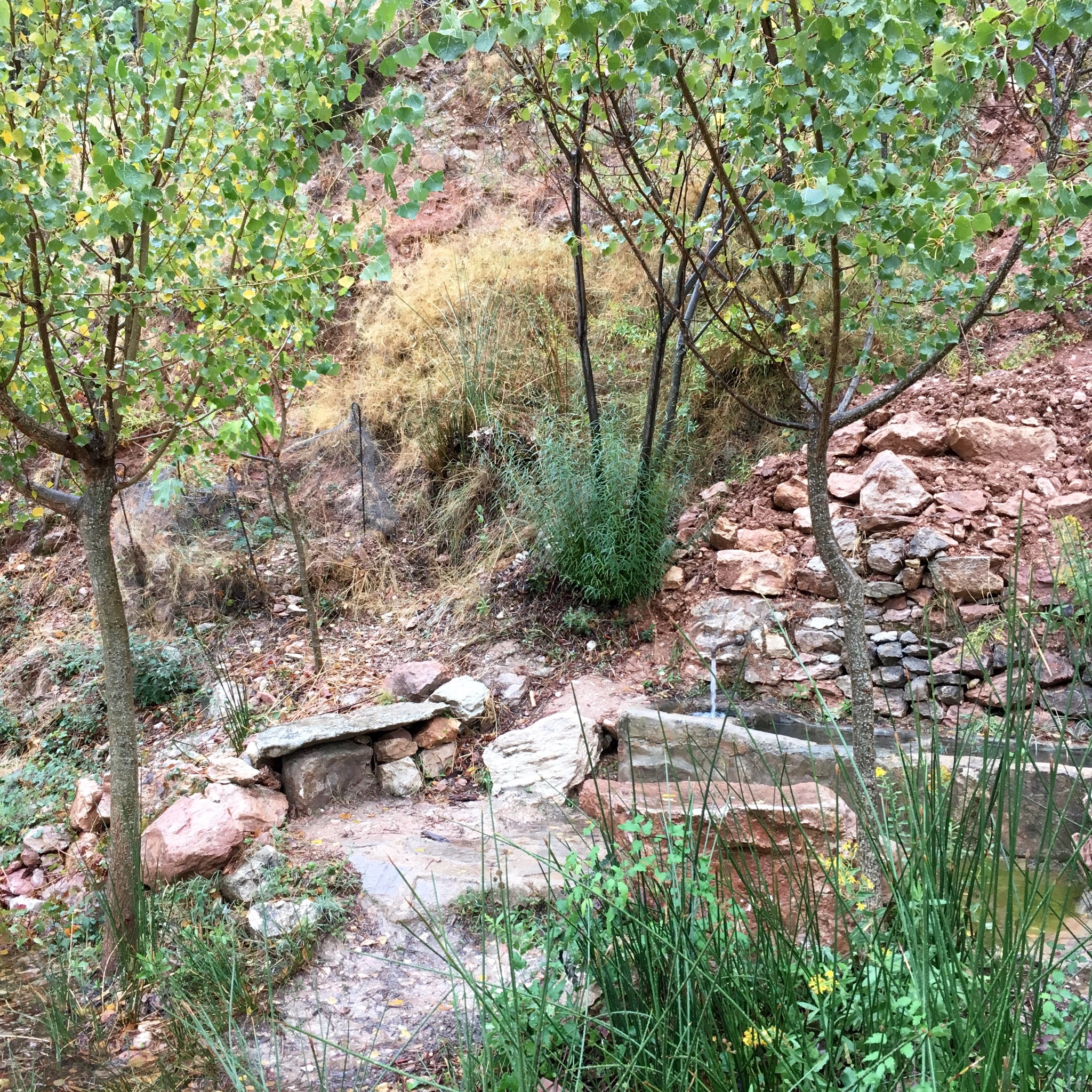
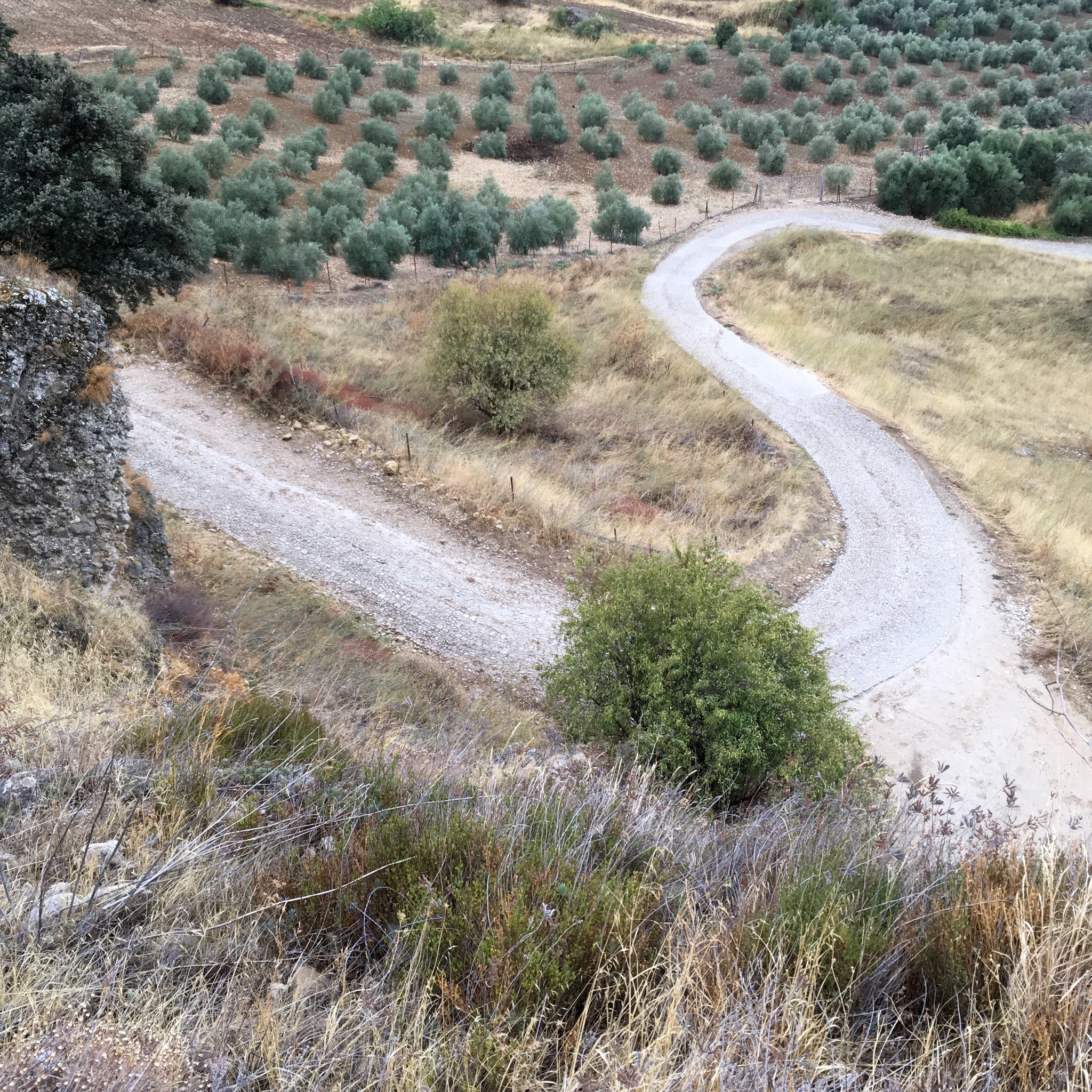
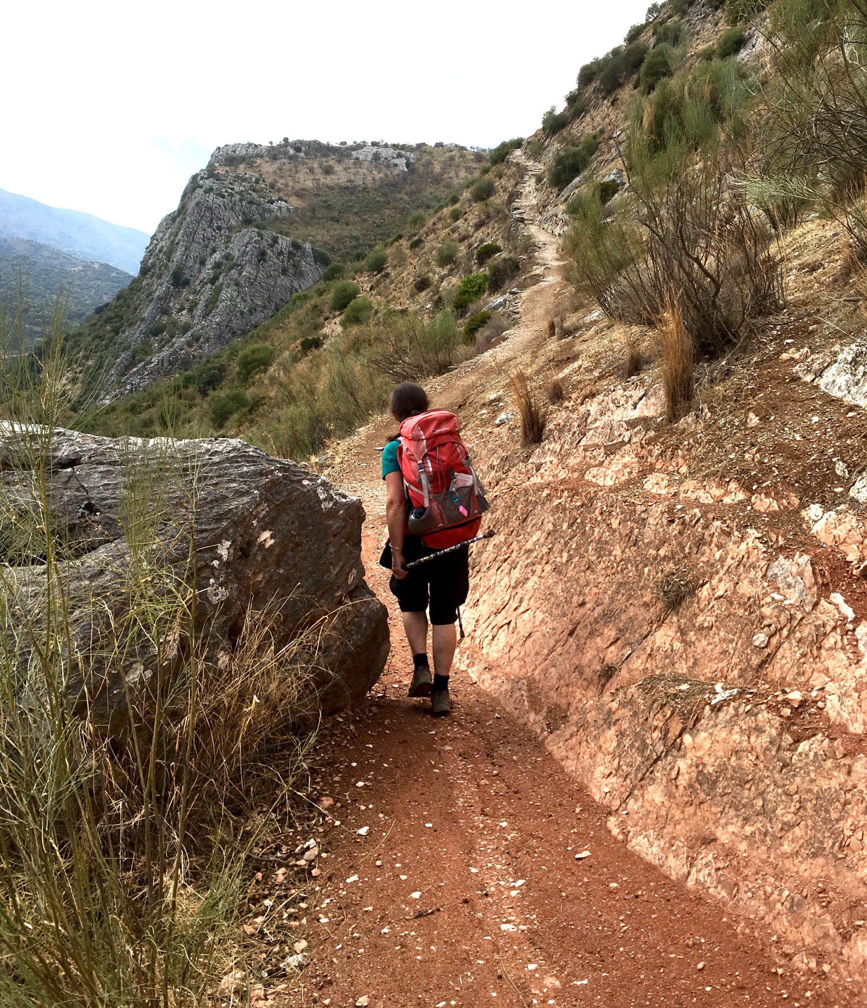
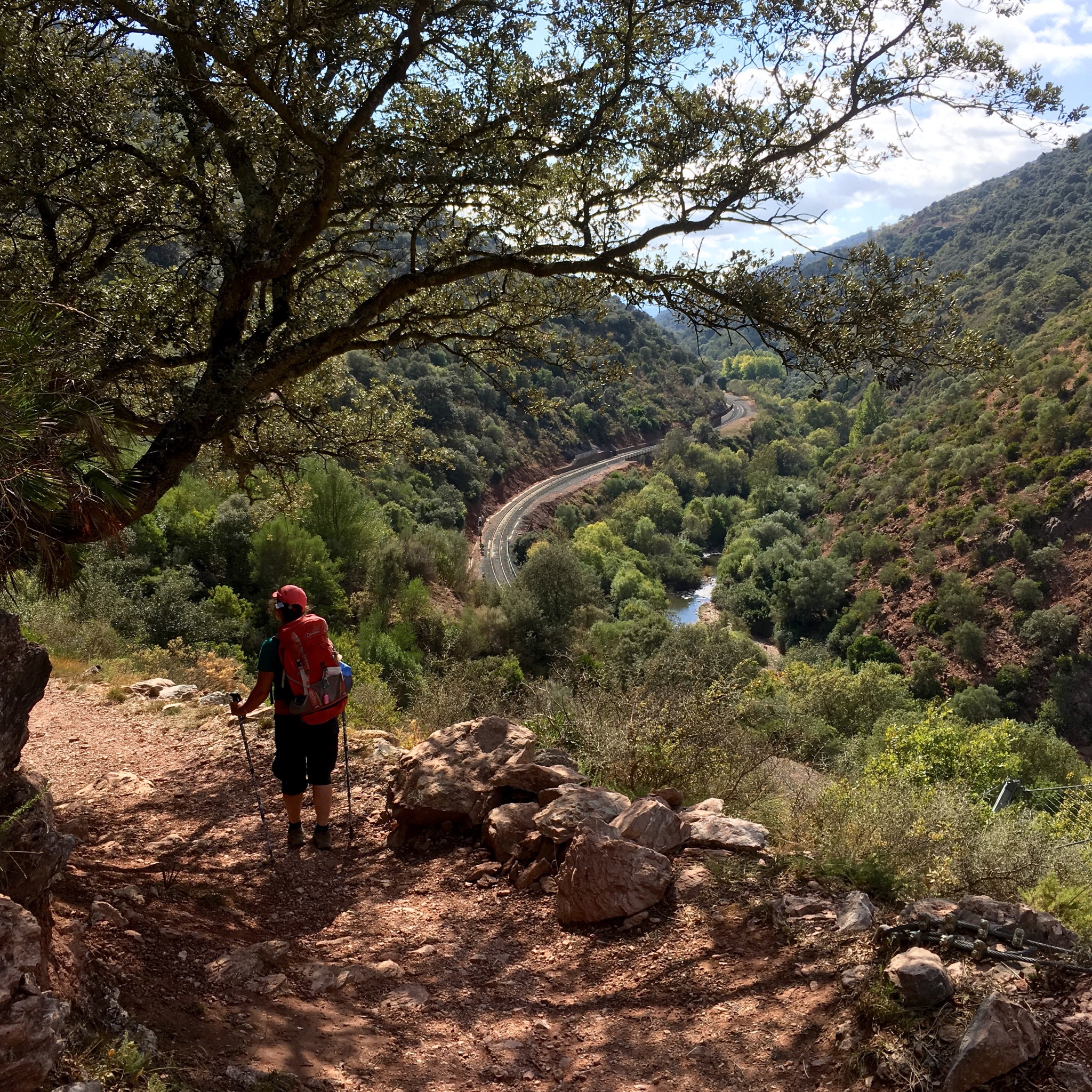
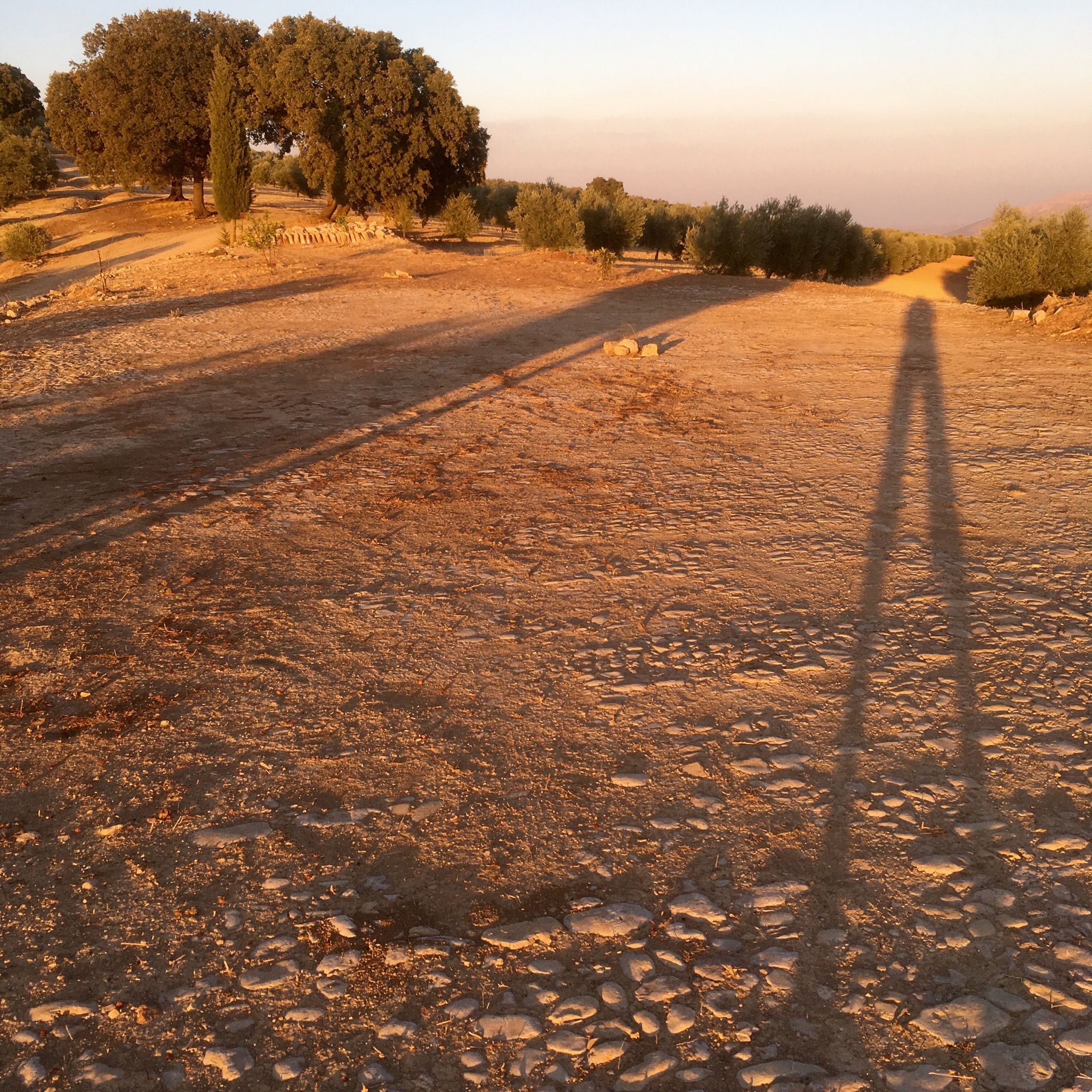
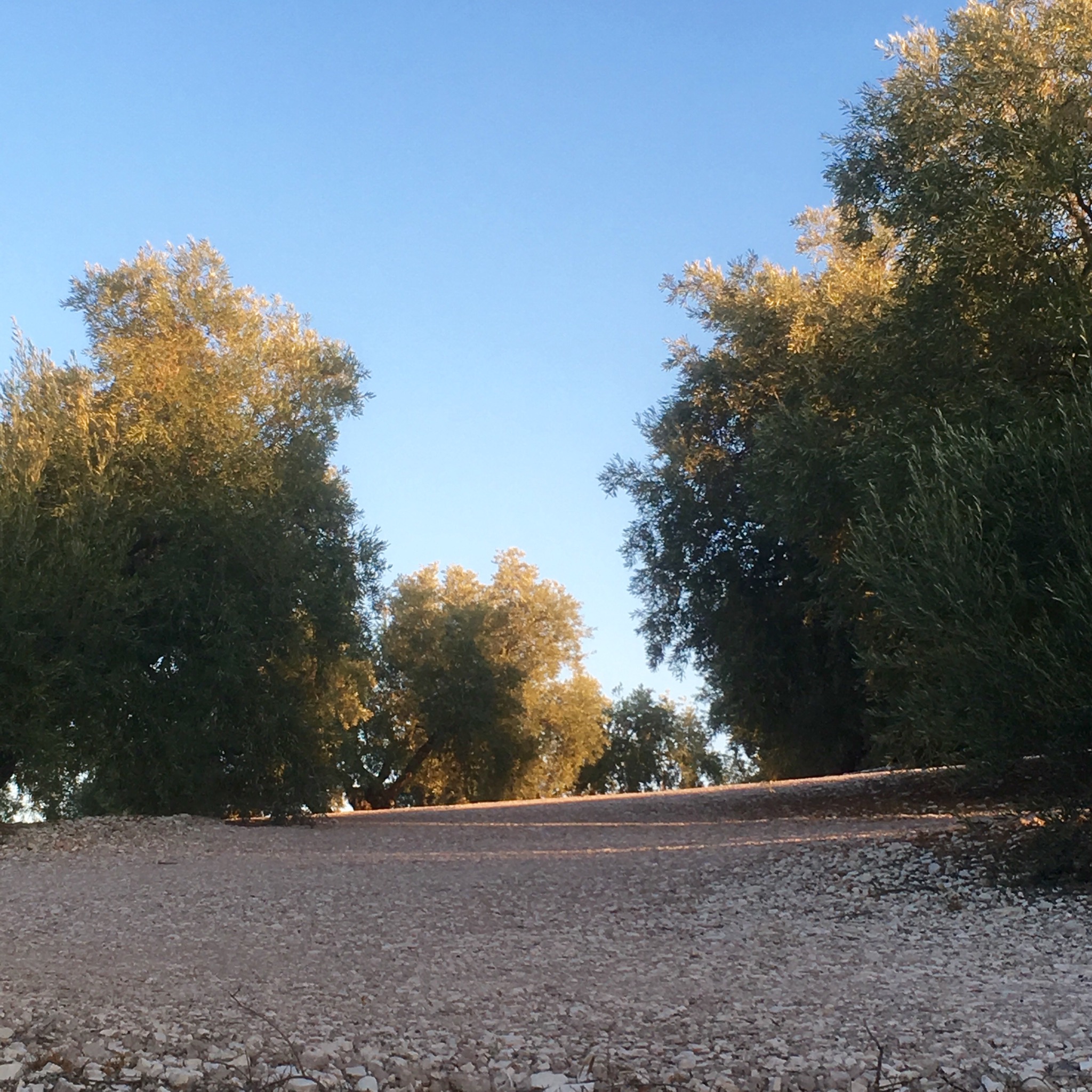
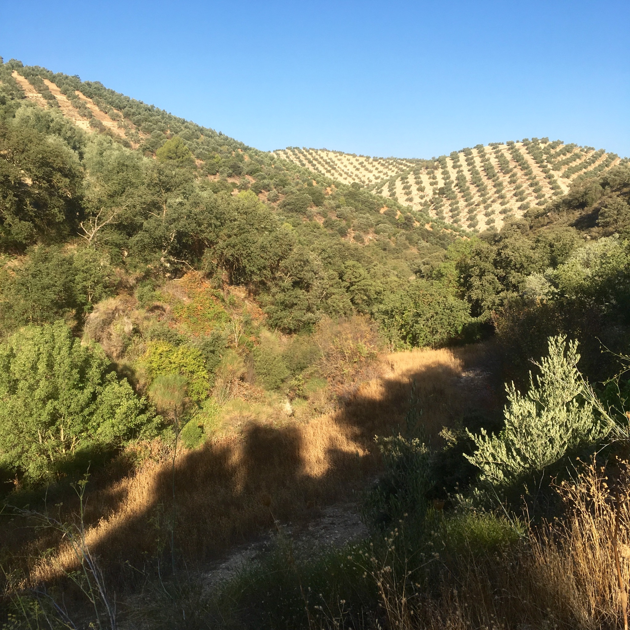
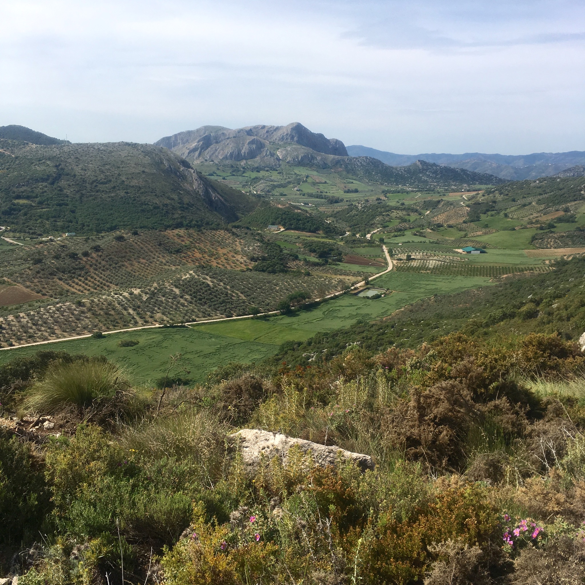
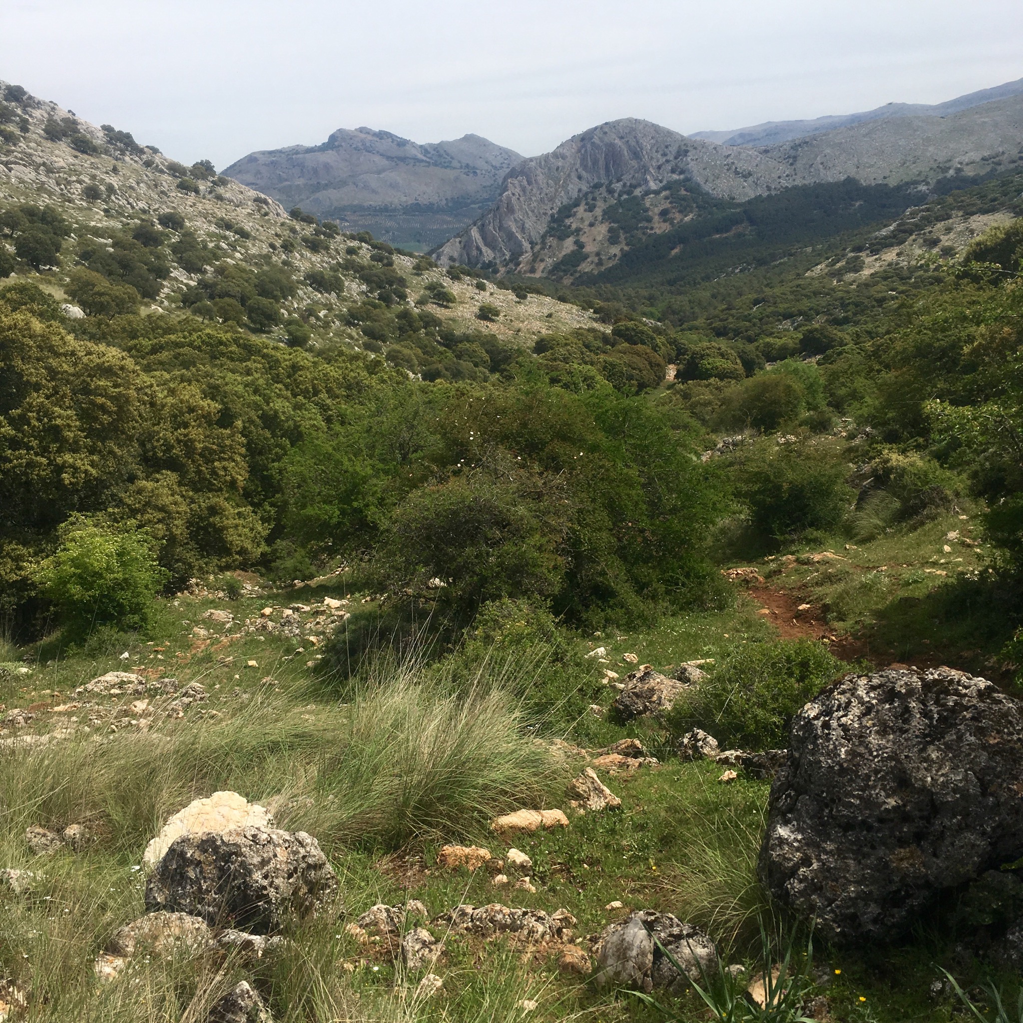
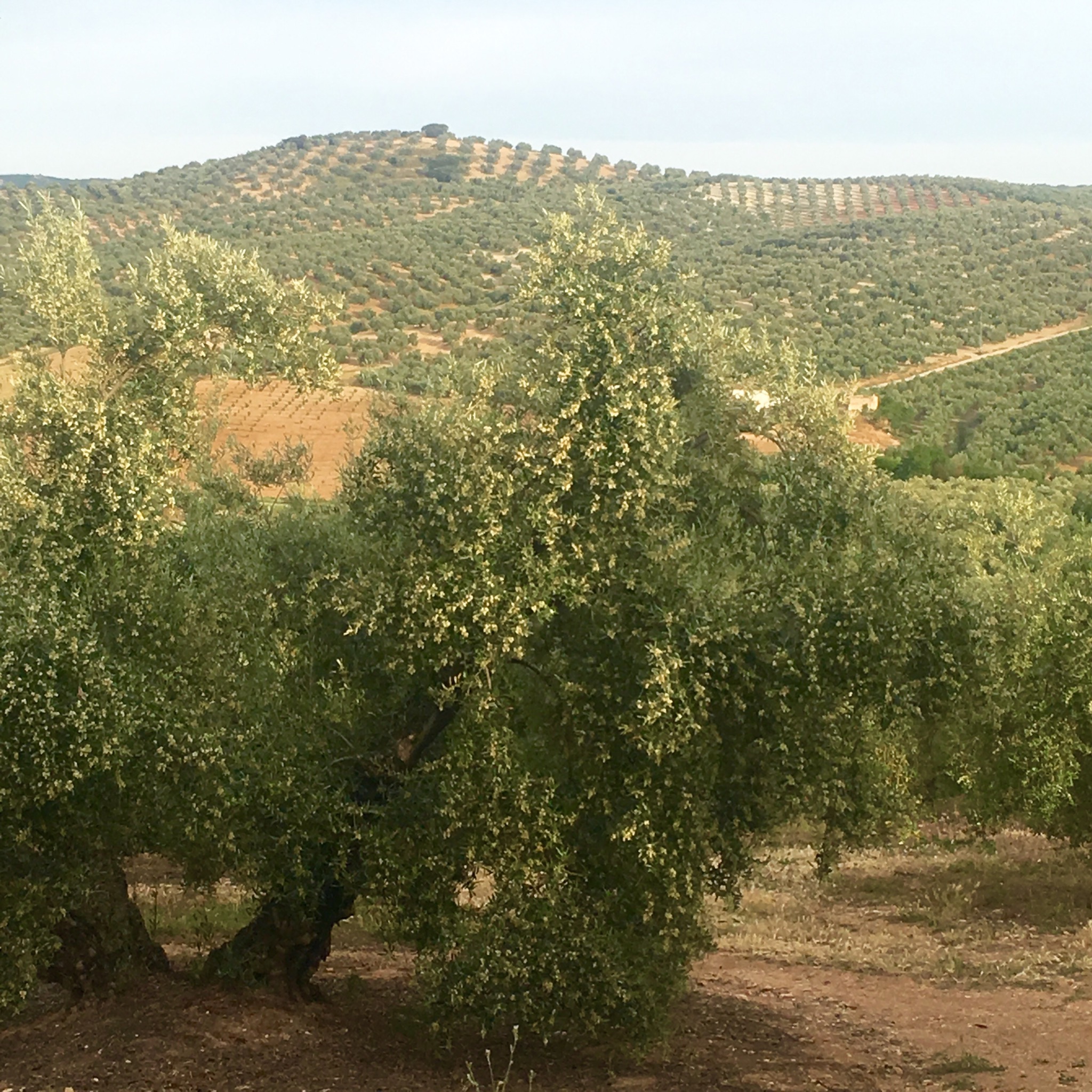
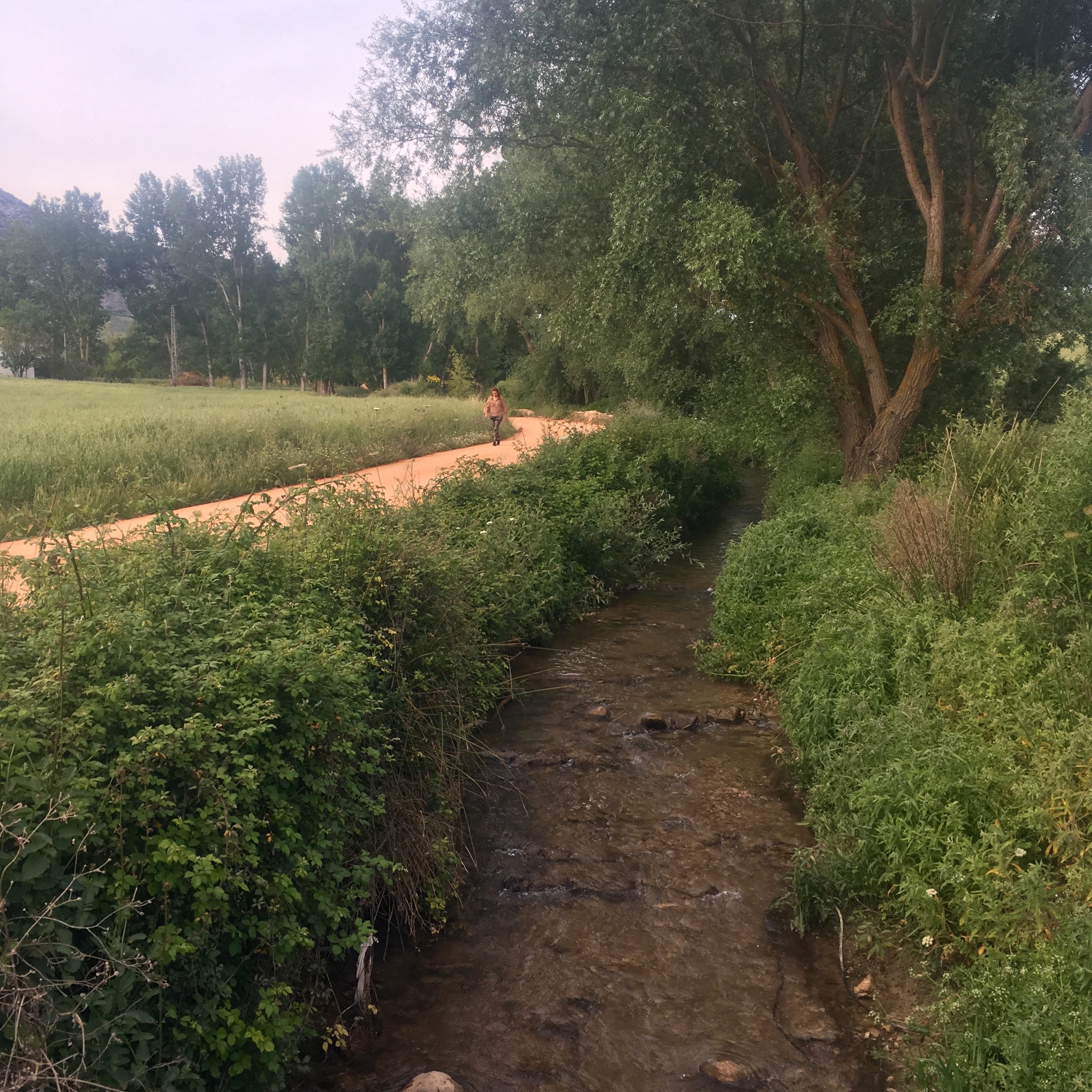
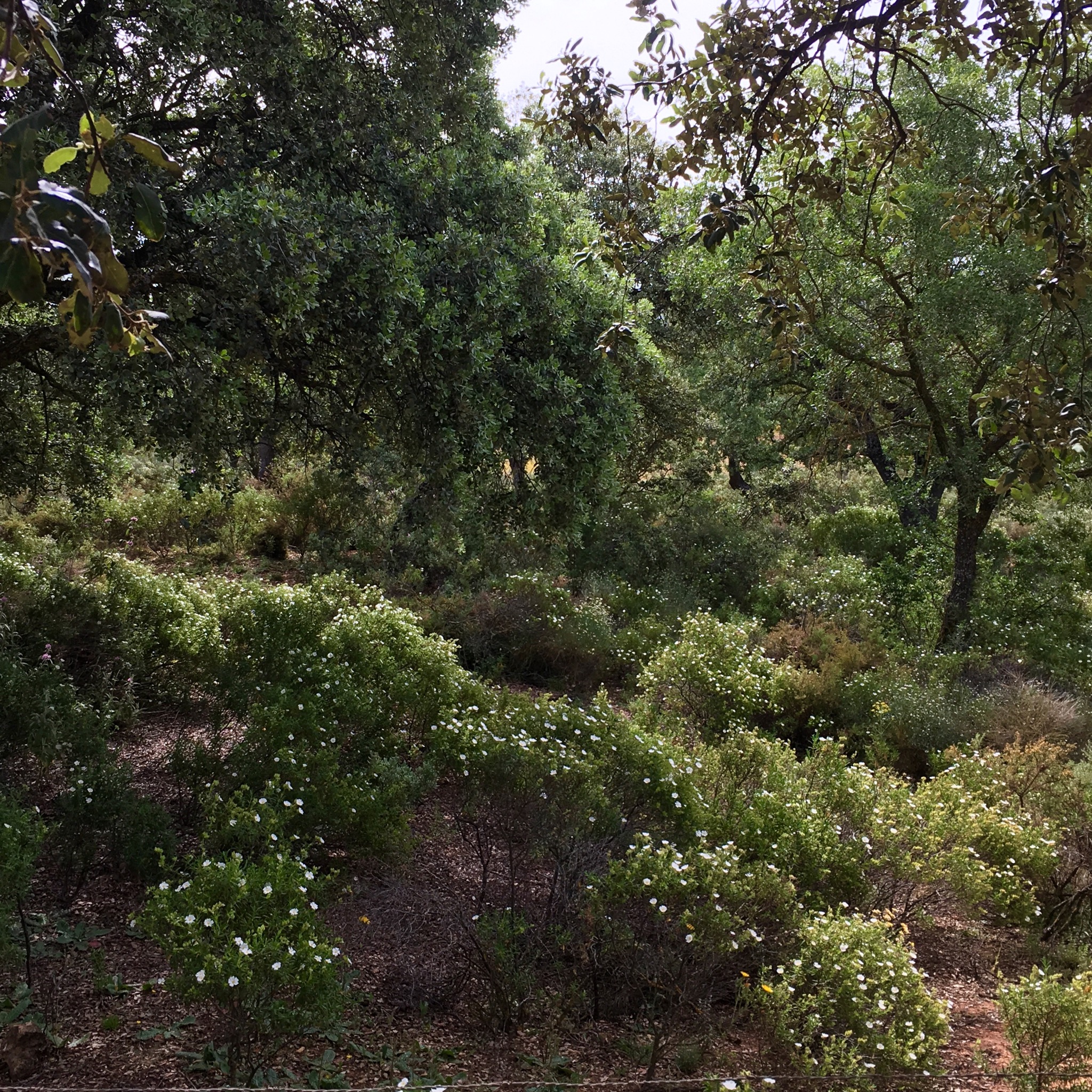
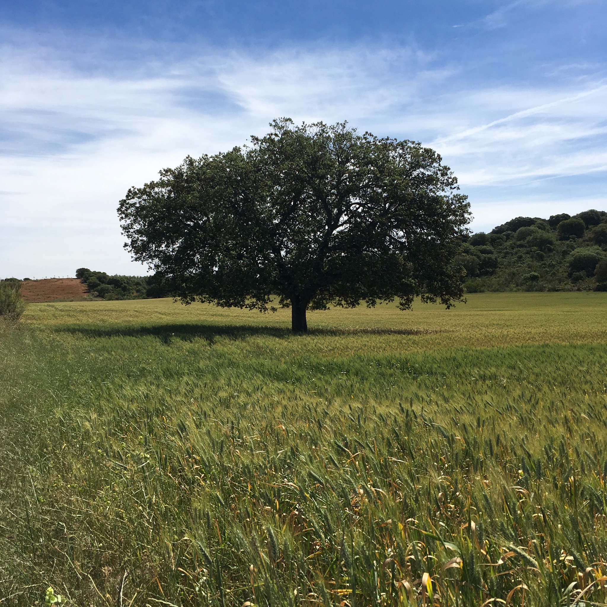
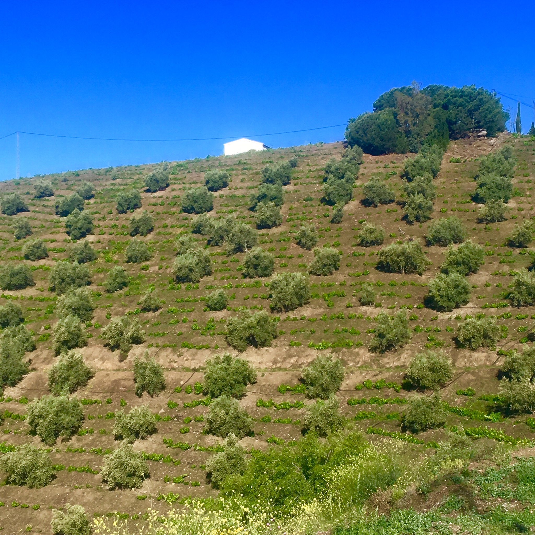
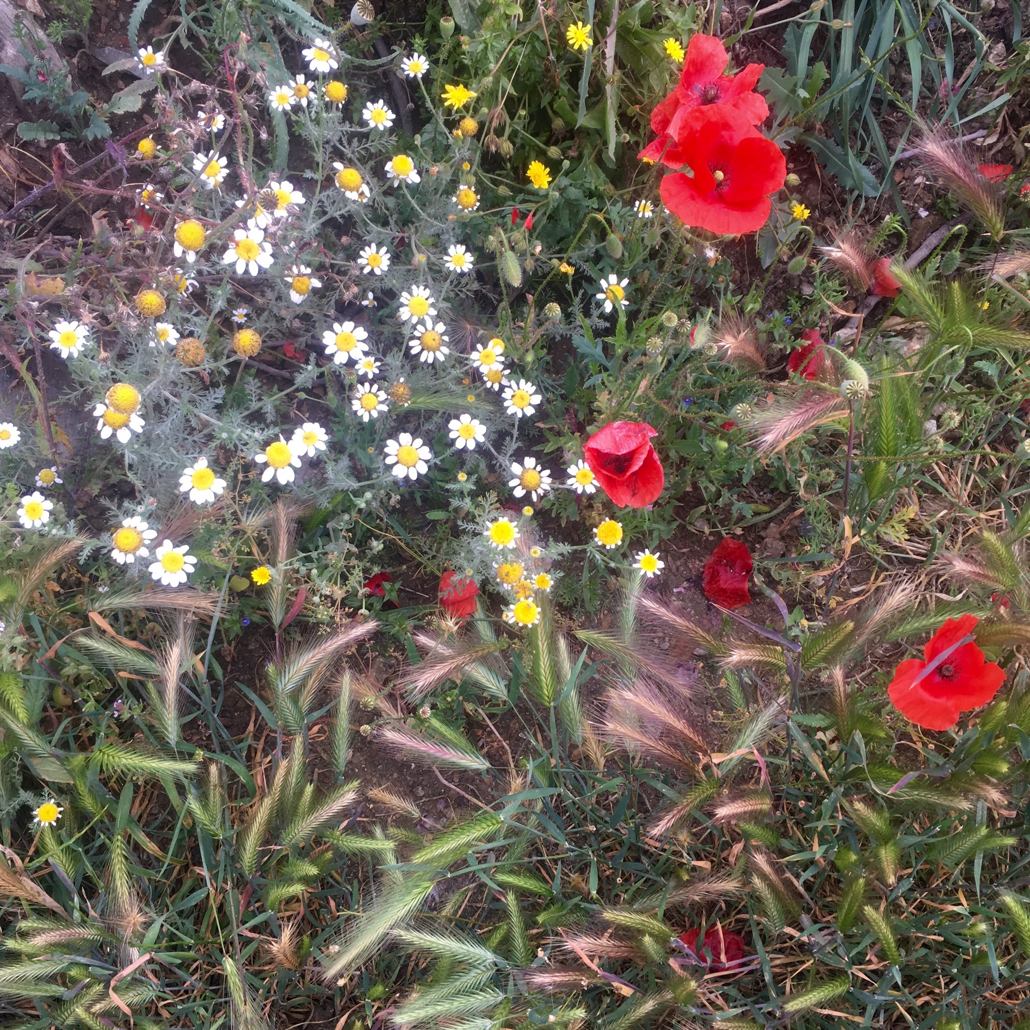
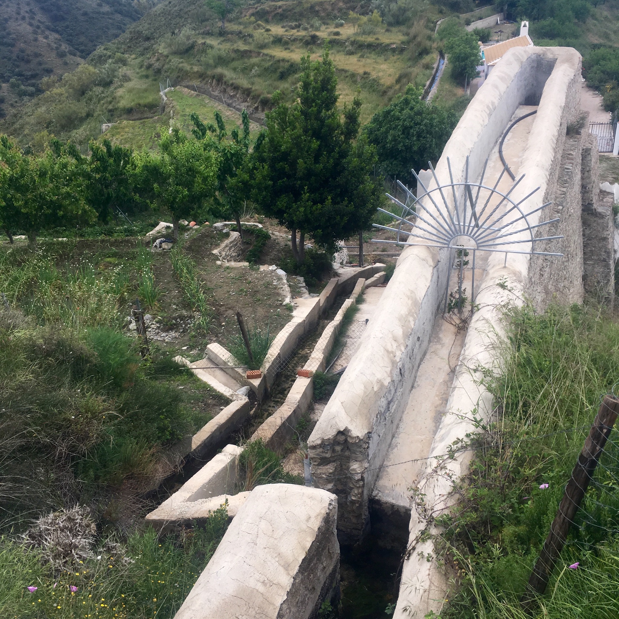
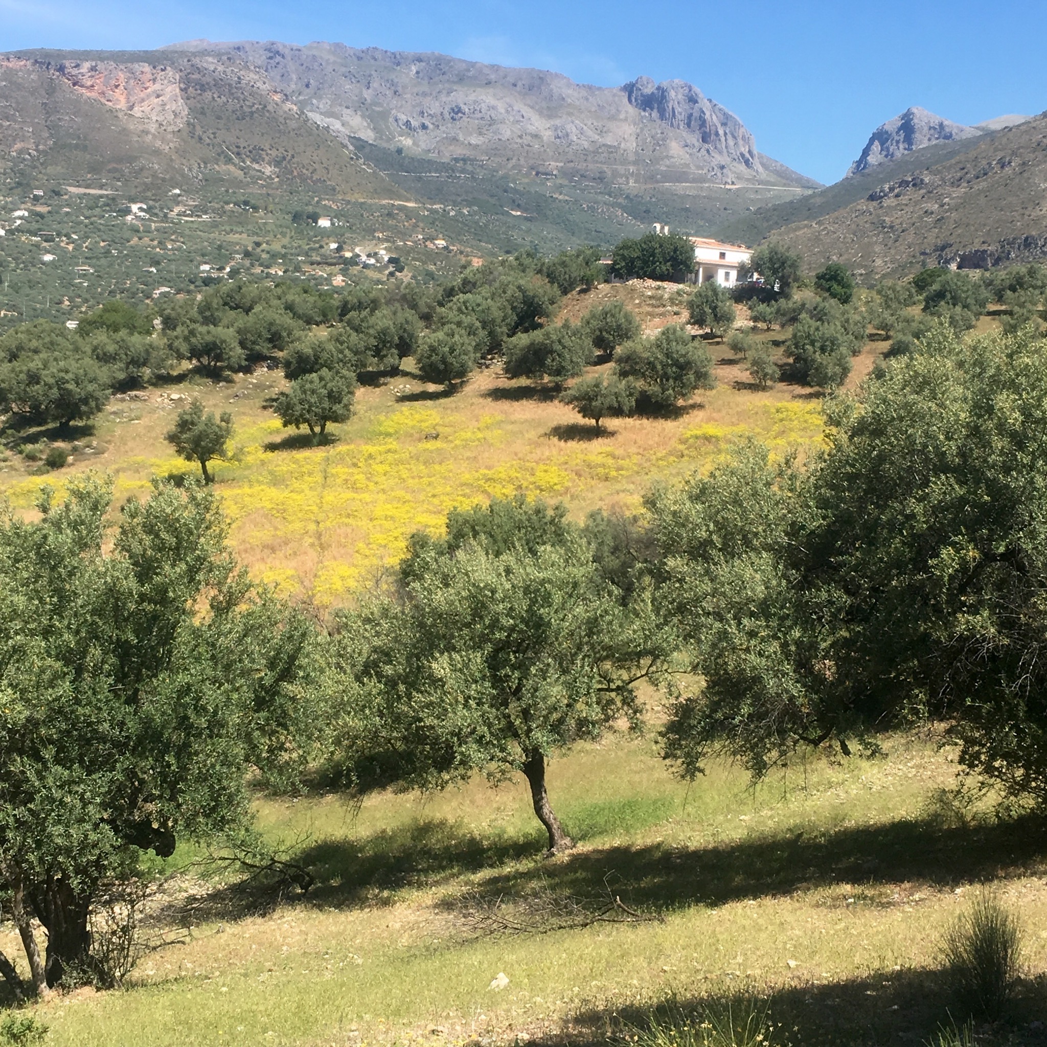
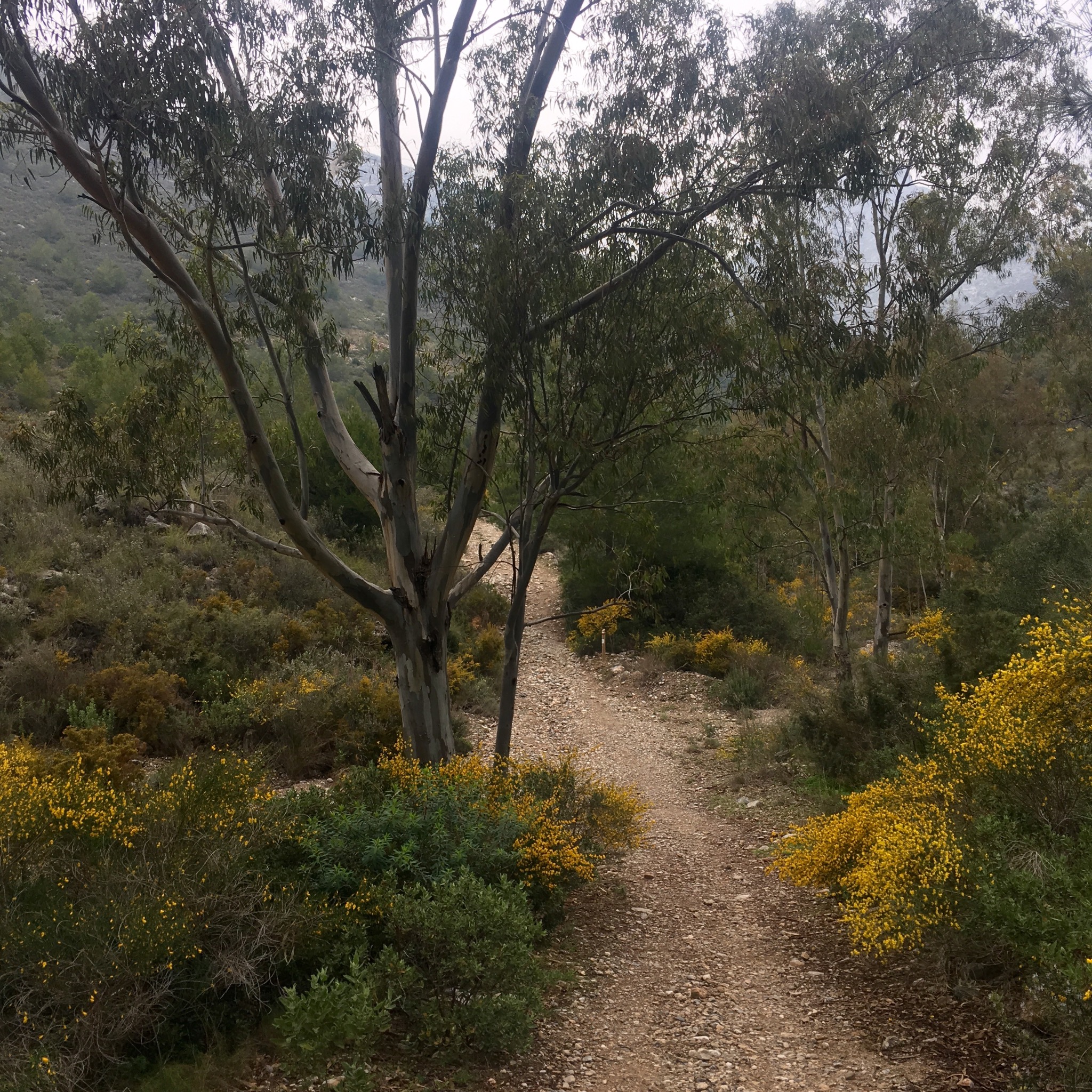
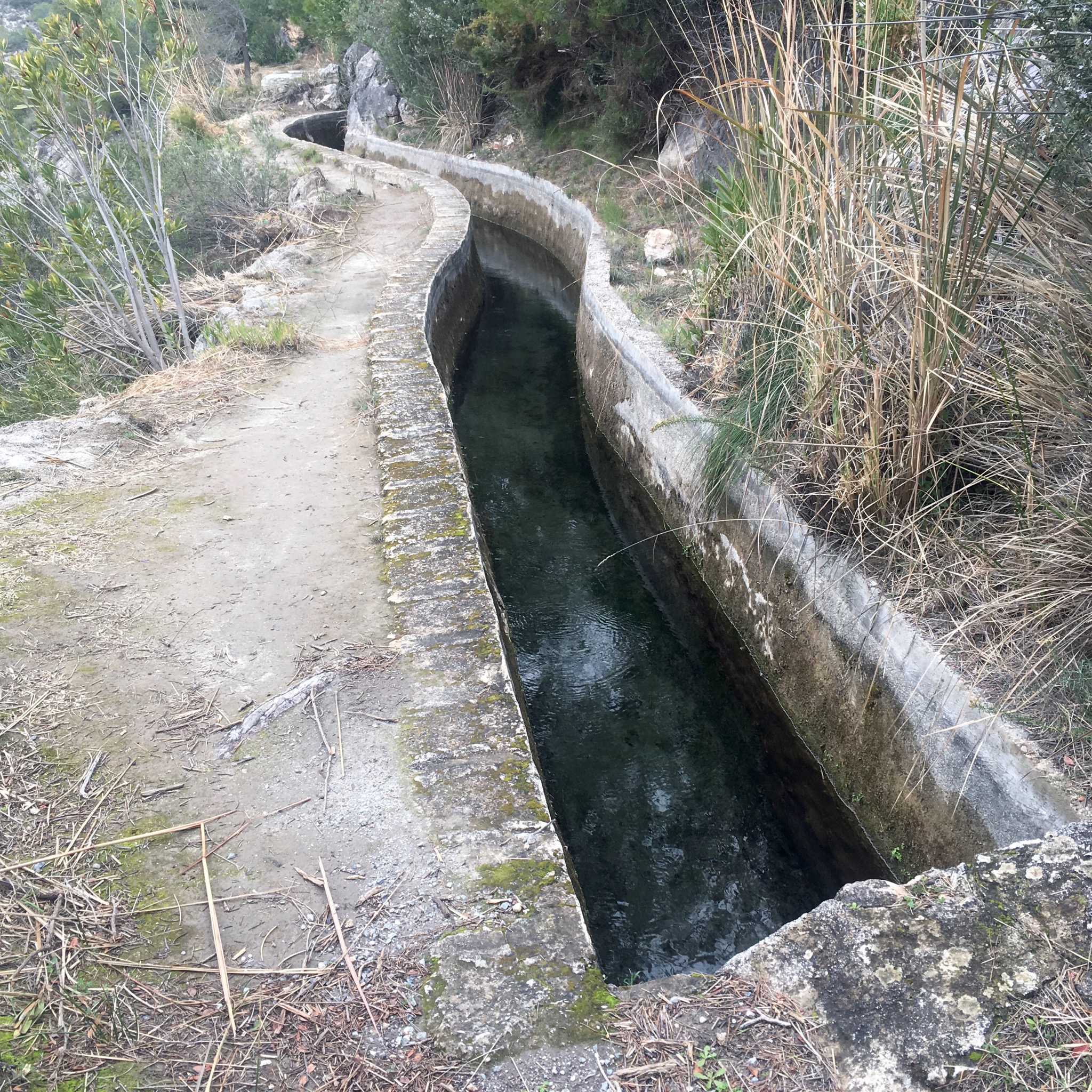
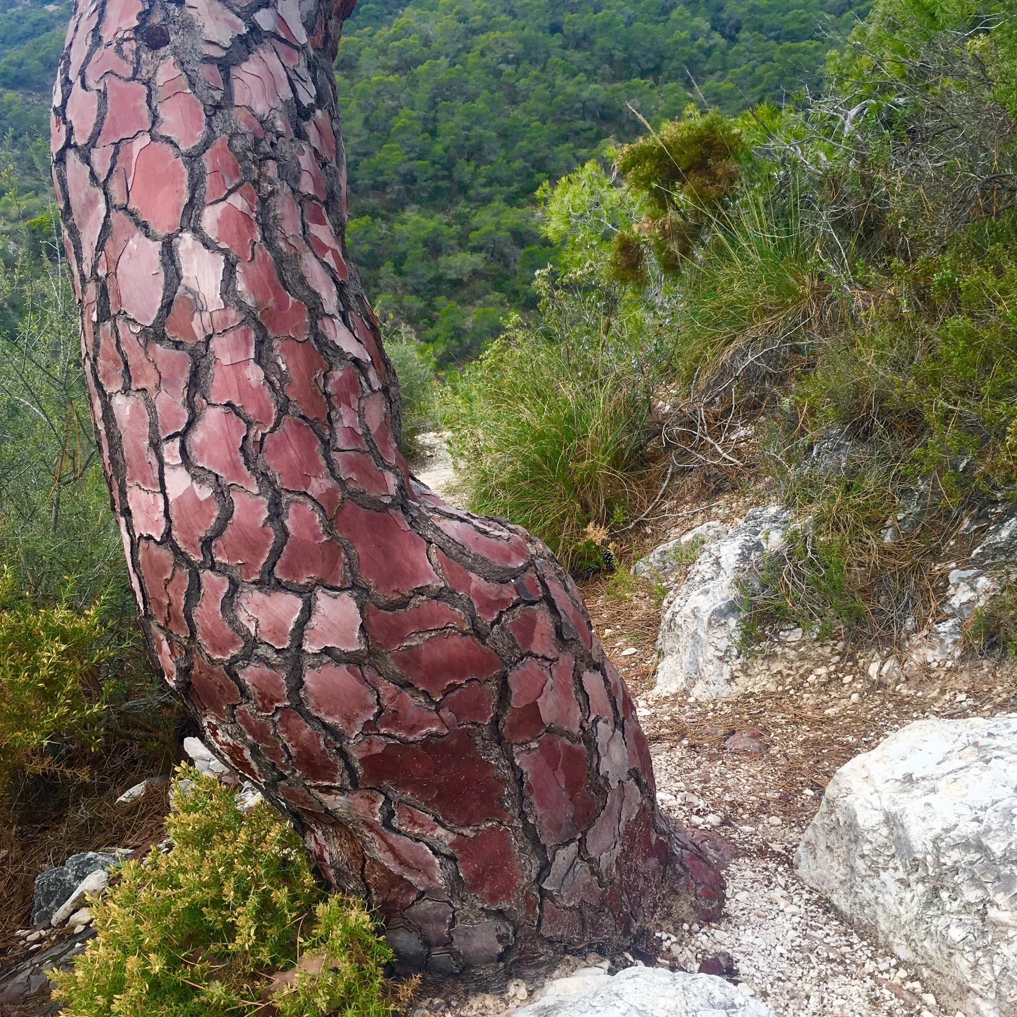
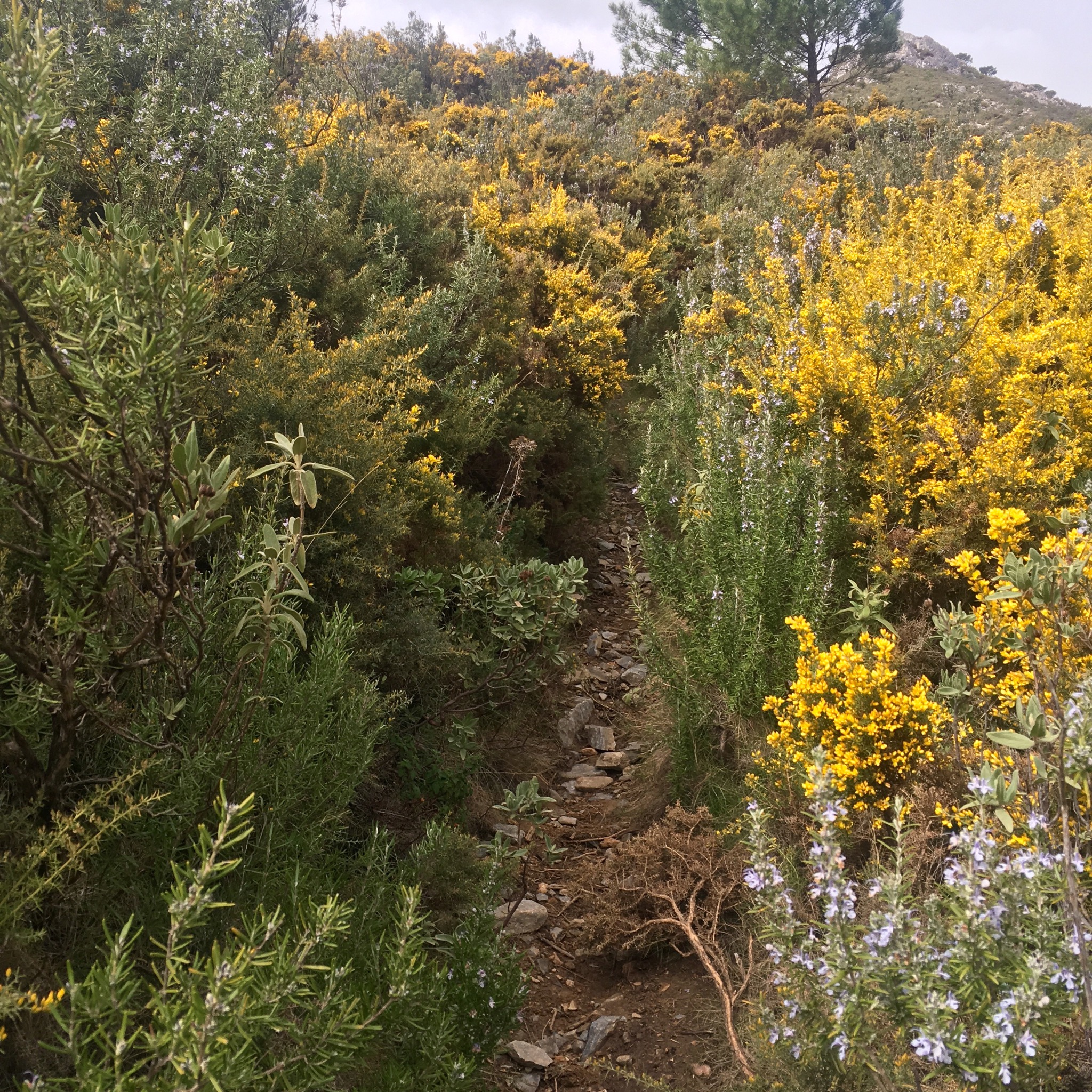
The way led up beside orchards and olive groves with the burbling waters of the acequia rushing along at our feet bringing life giving waters from the Sierra to the crops of the Axarquia.

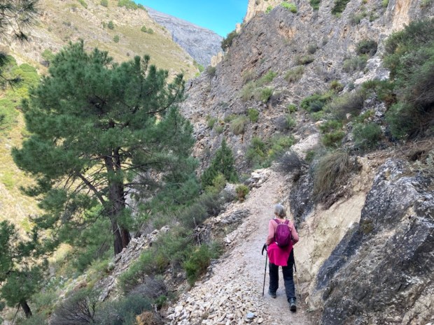
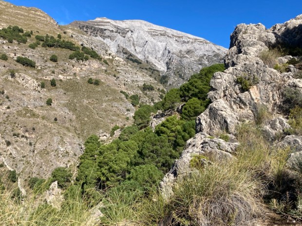
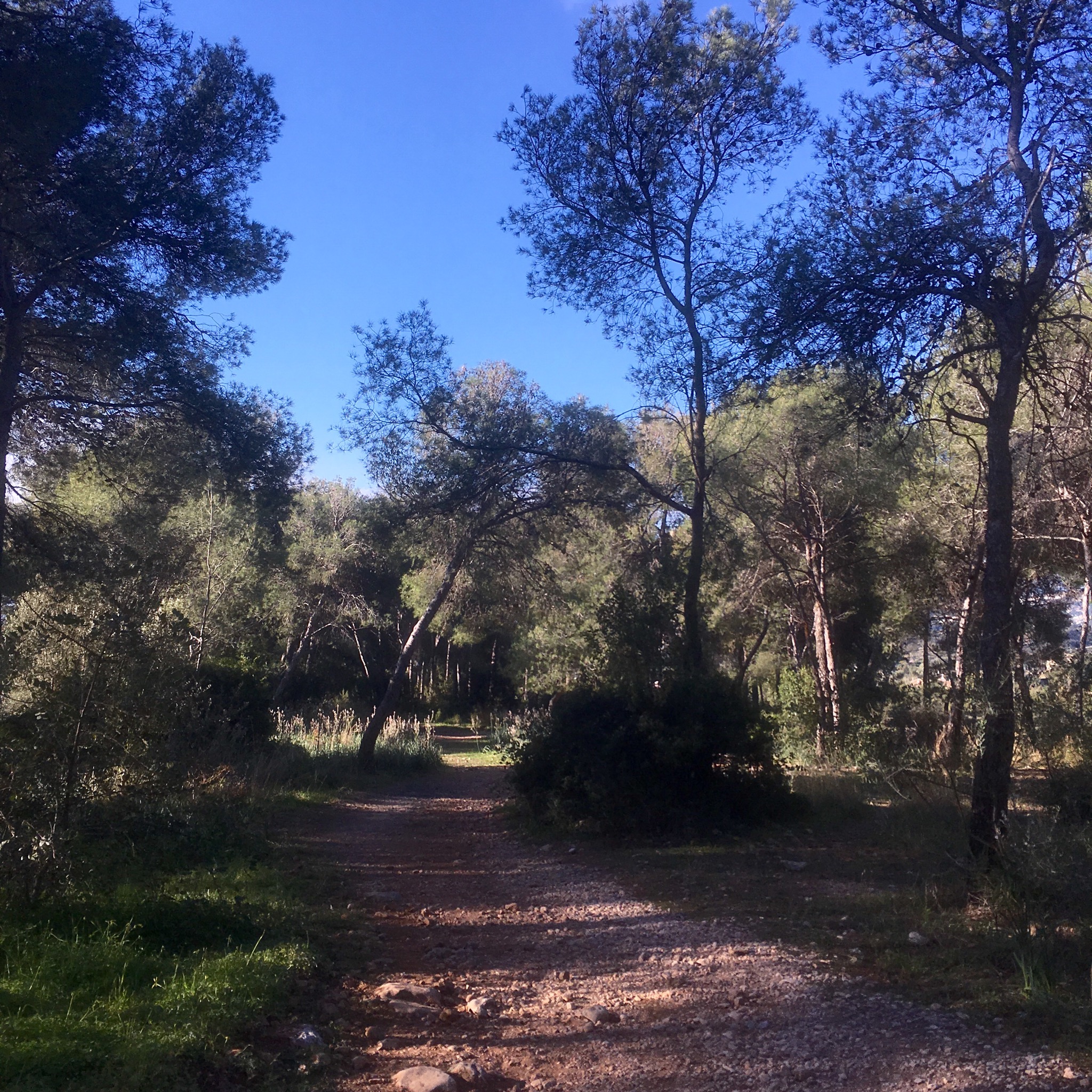
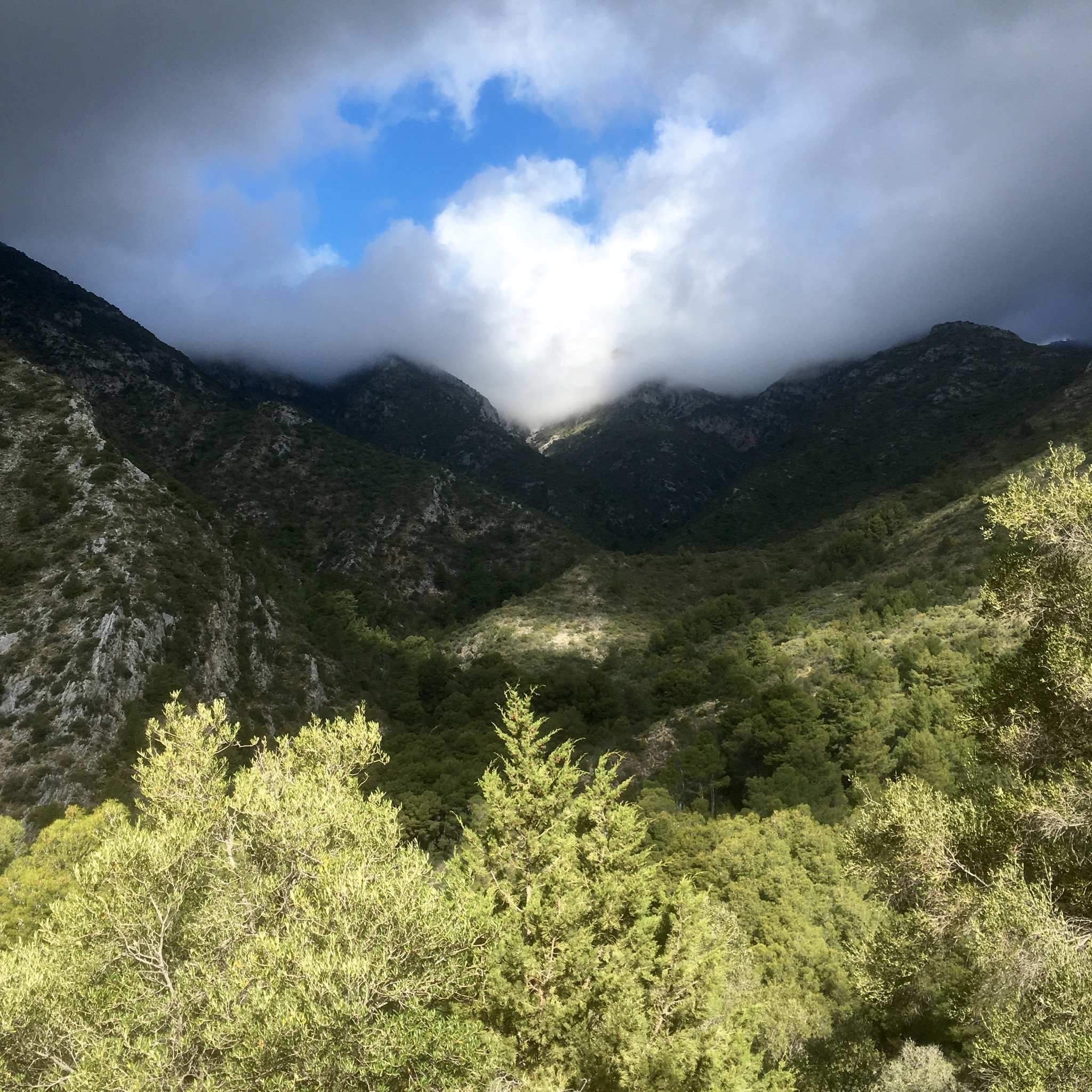
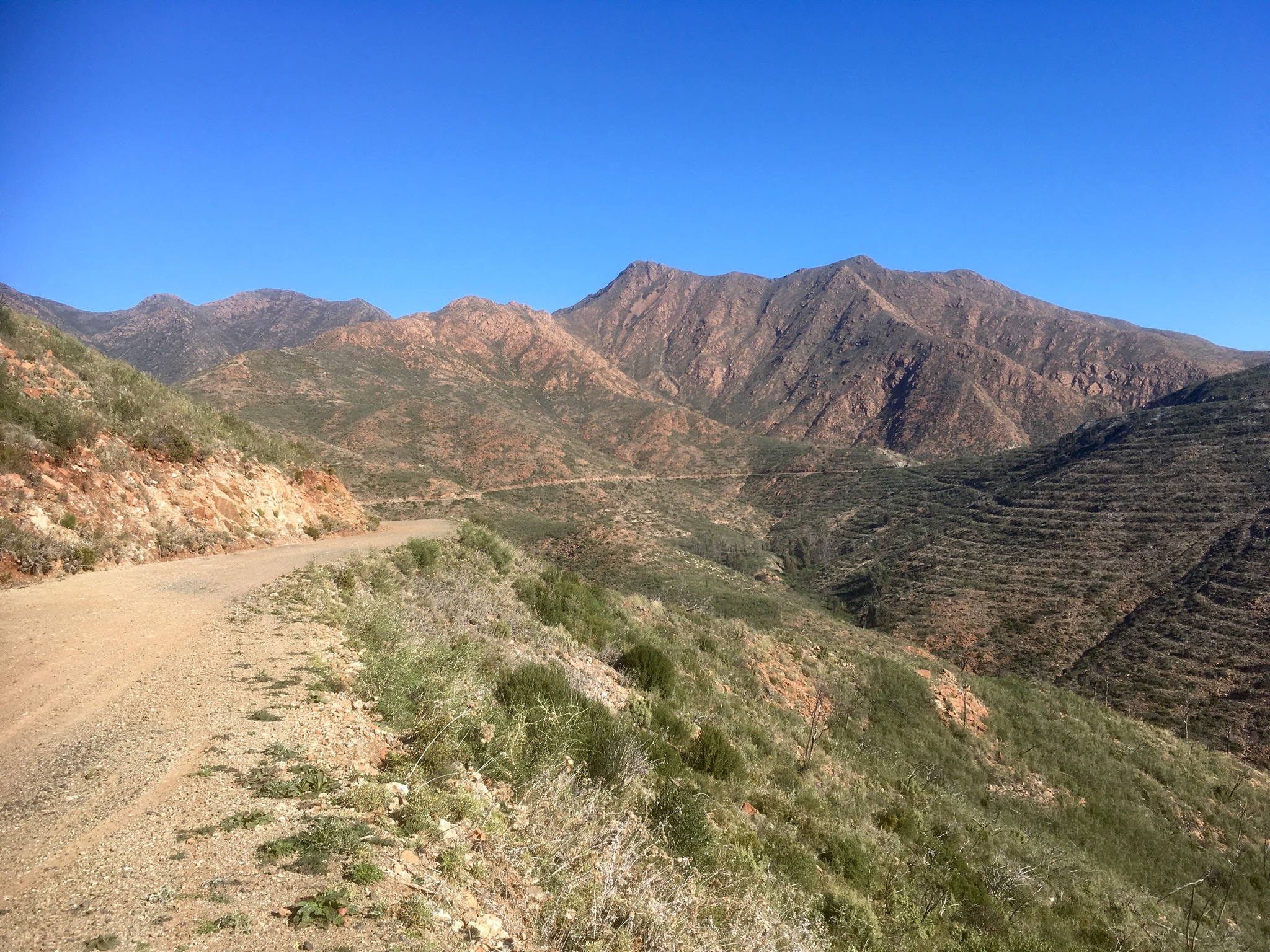
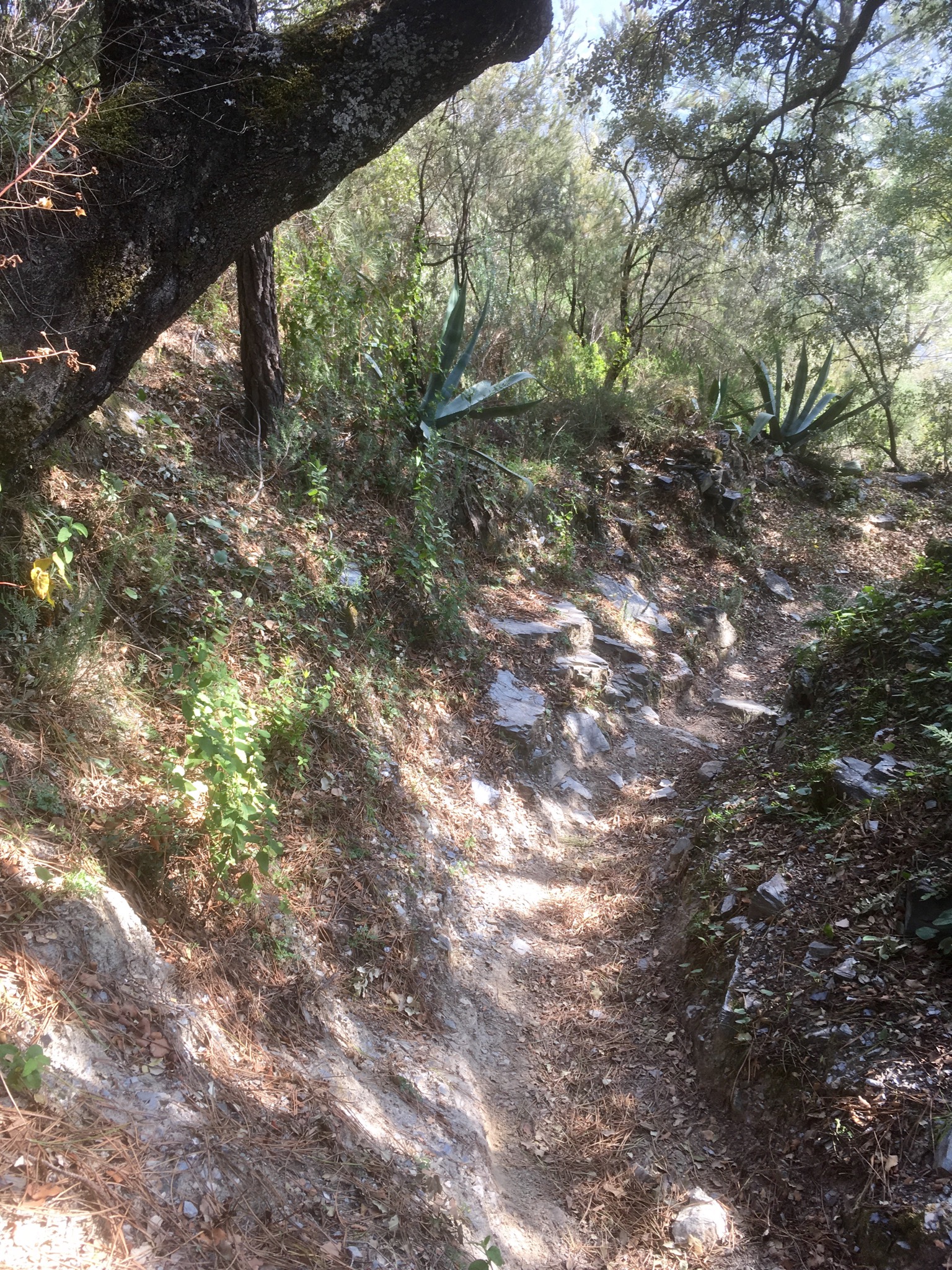
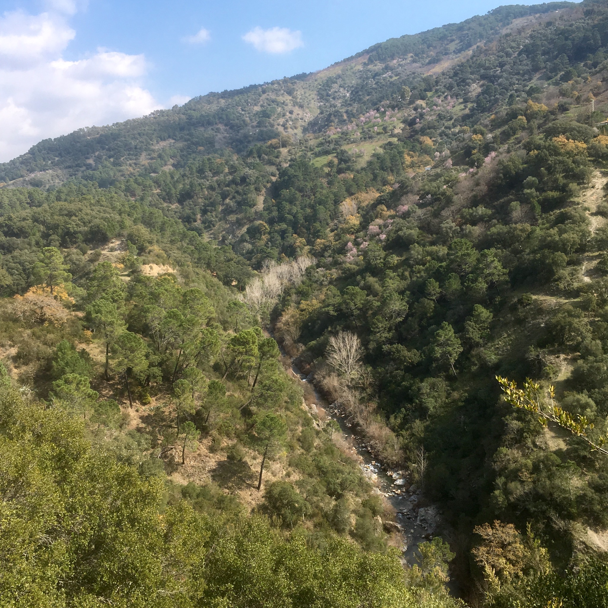
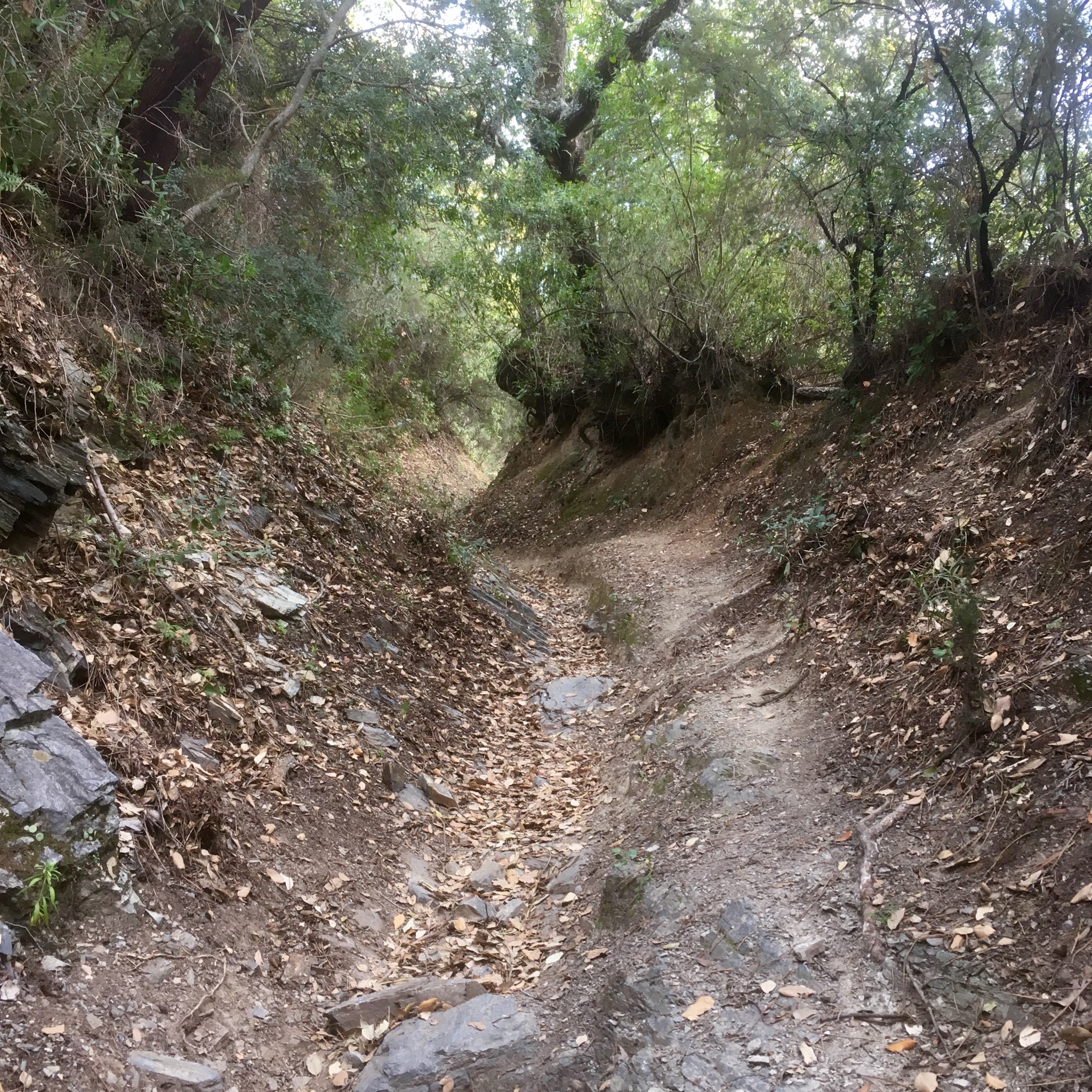
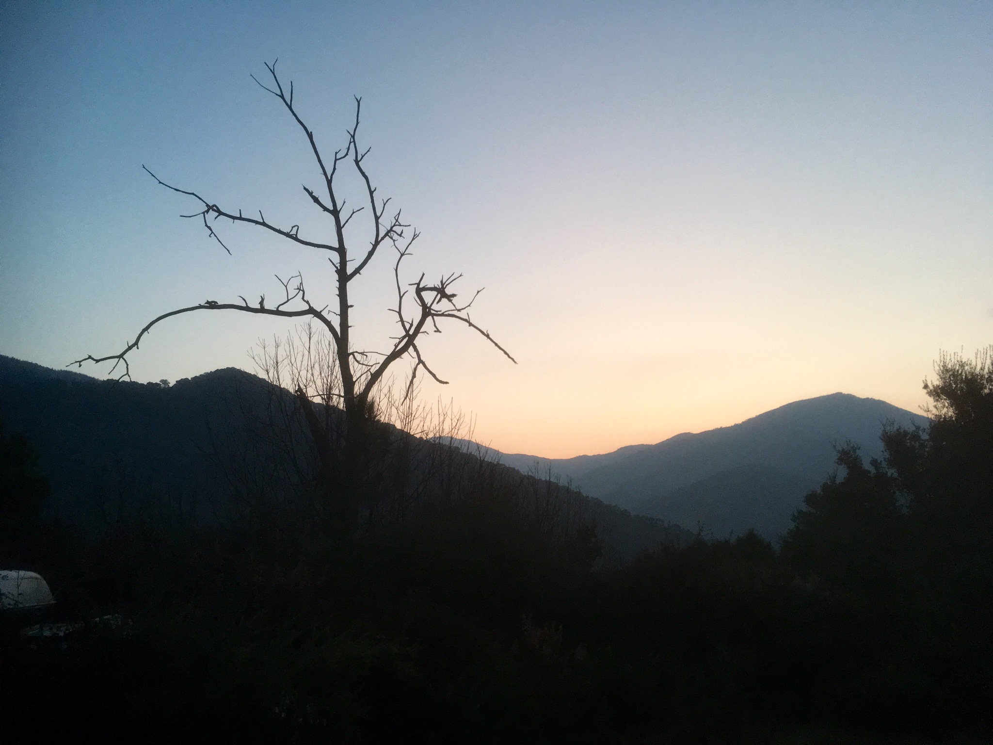
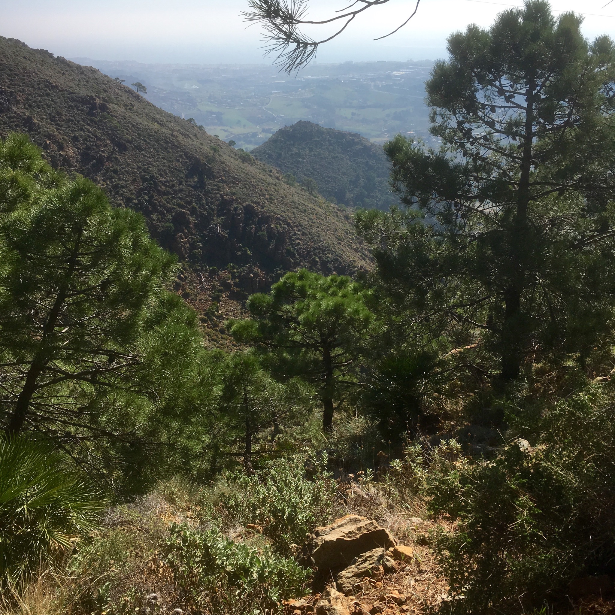
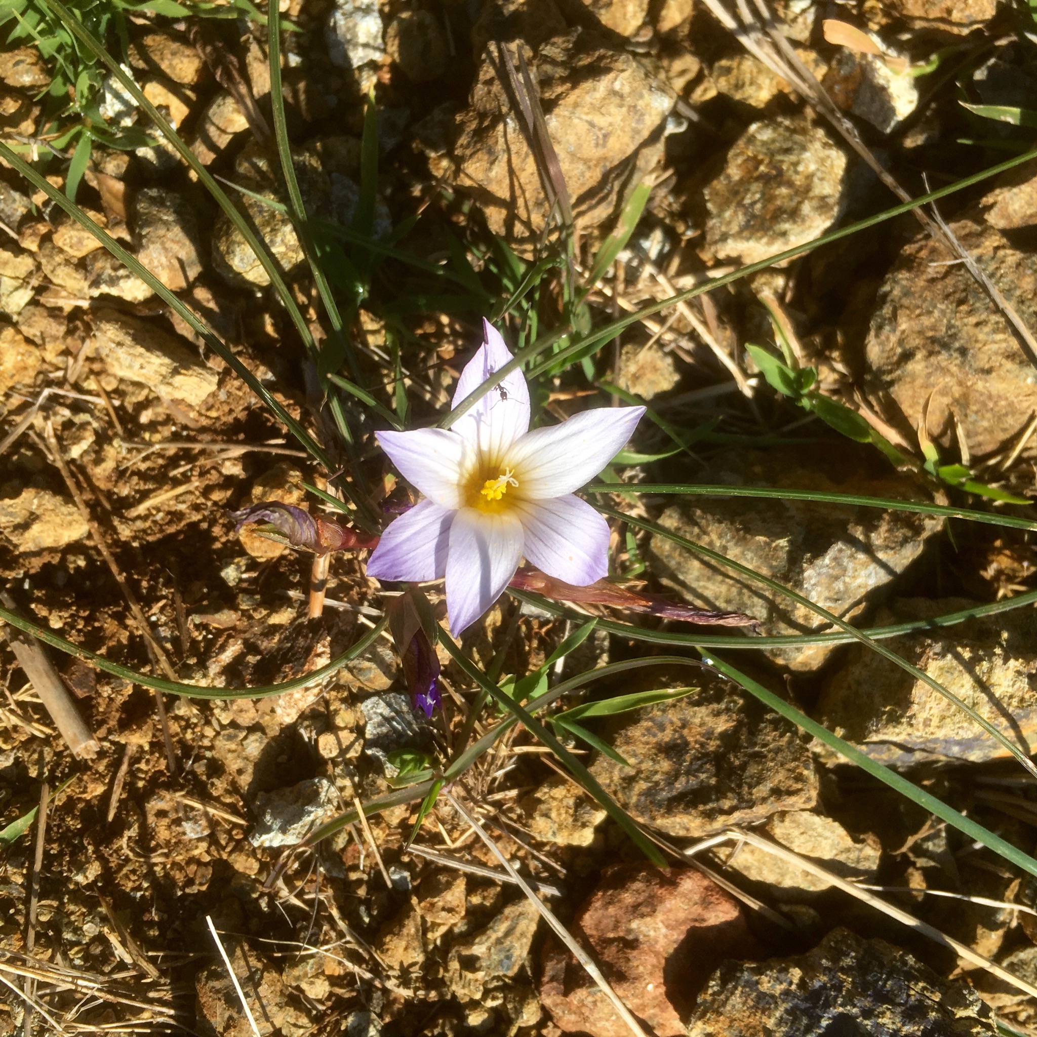
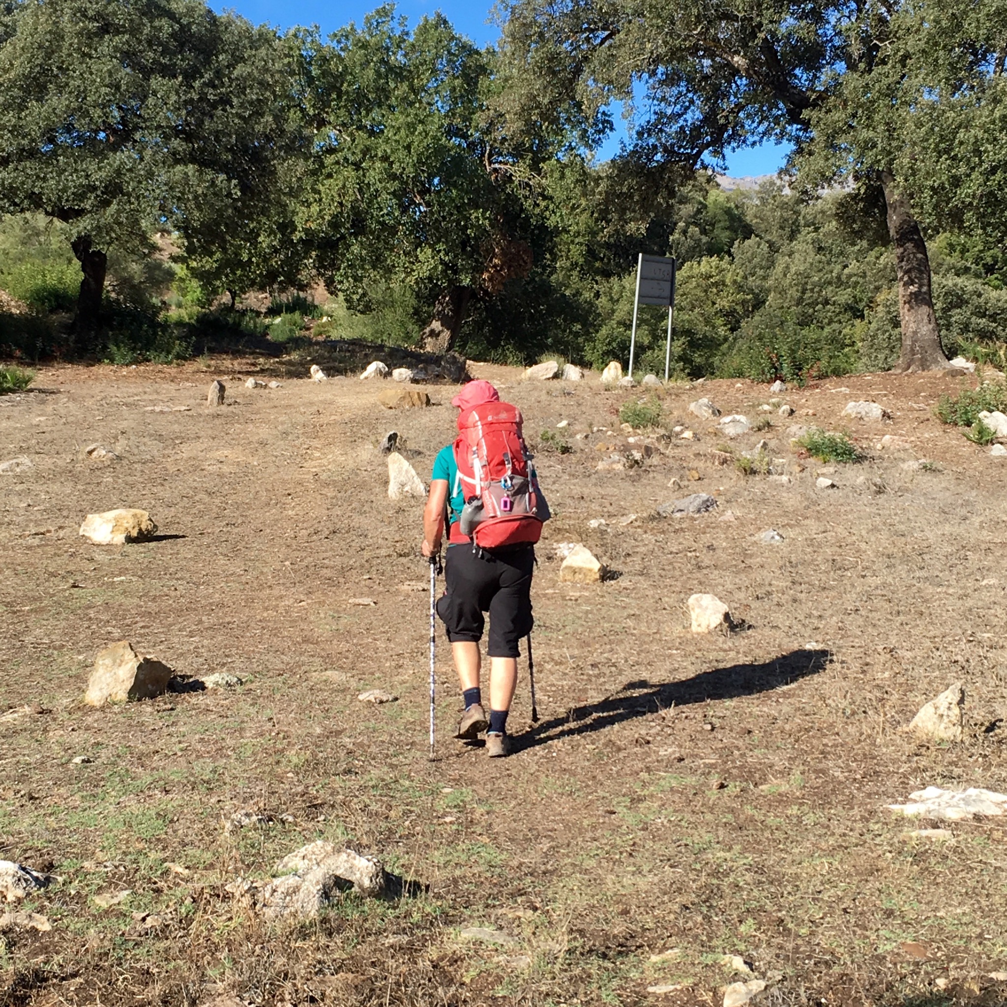
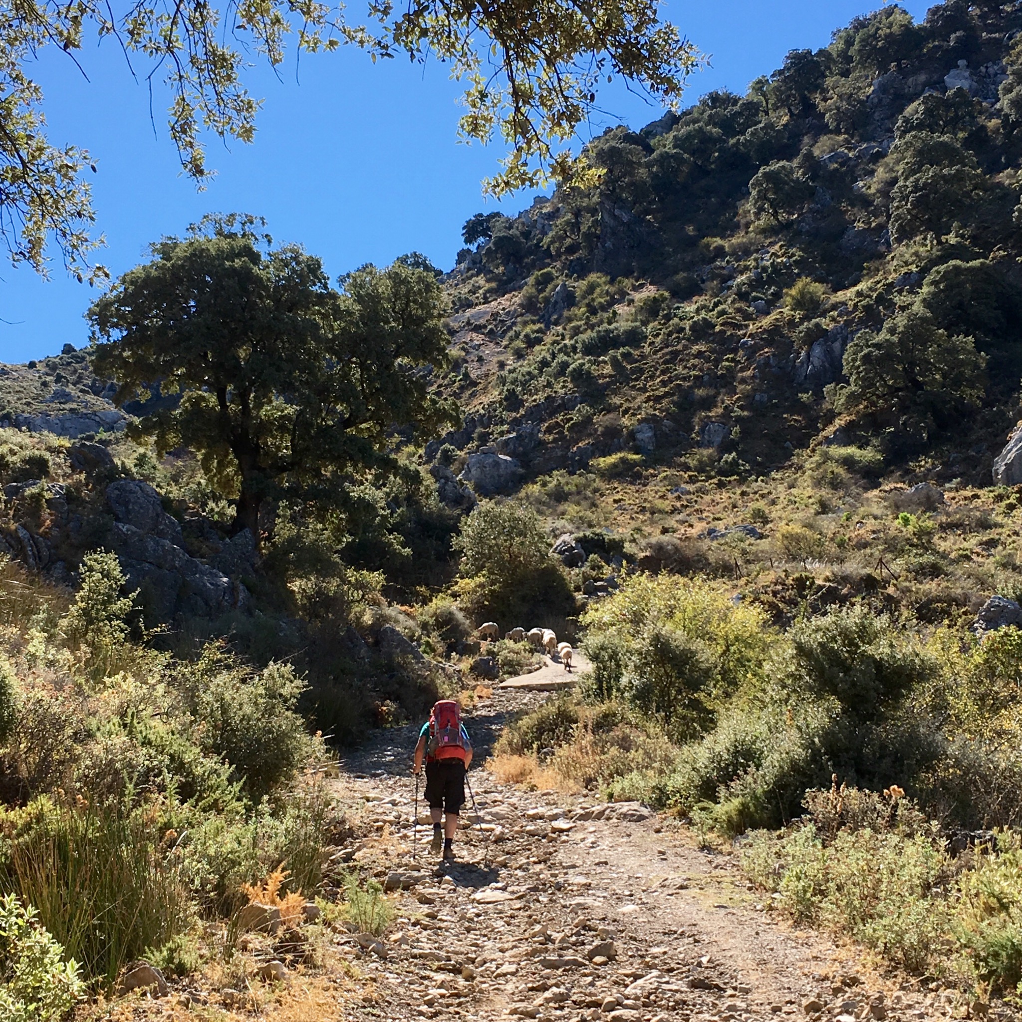
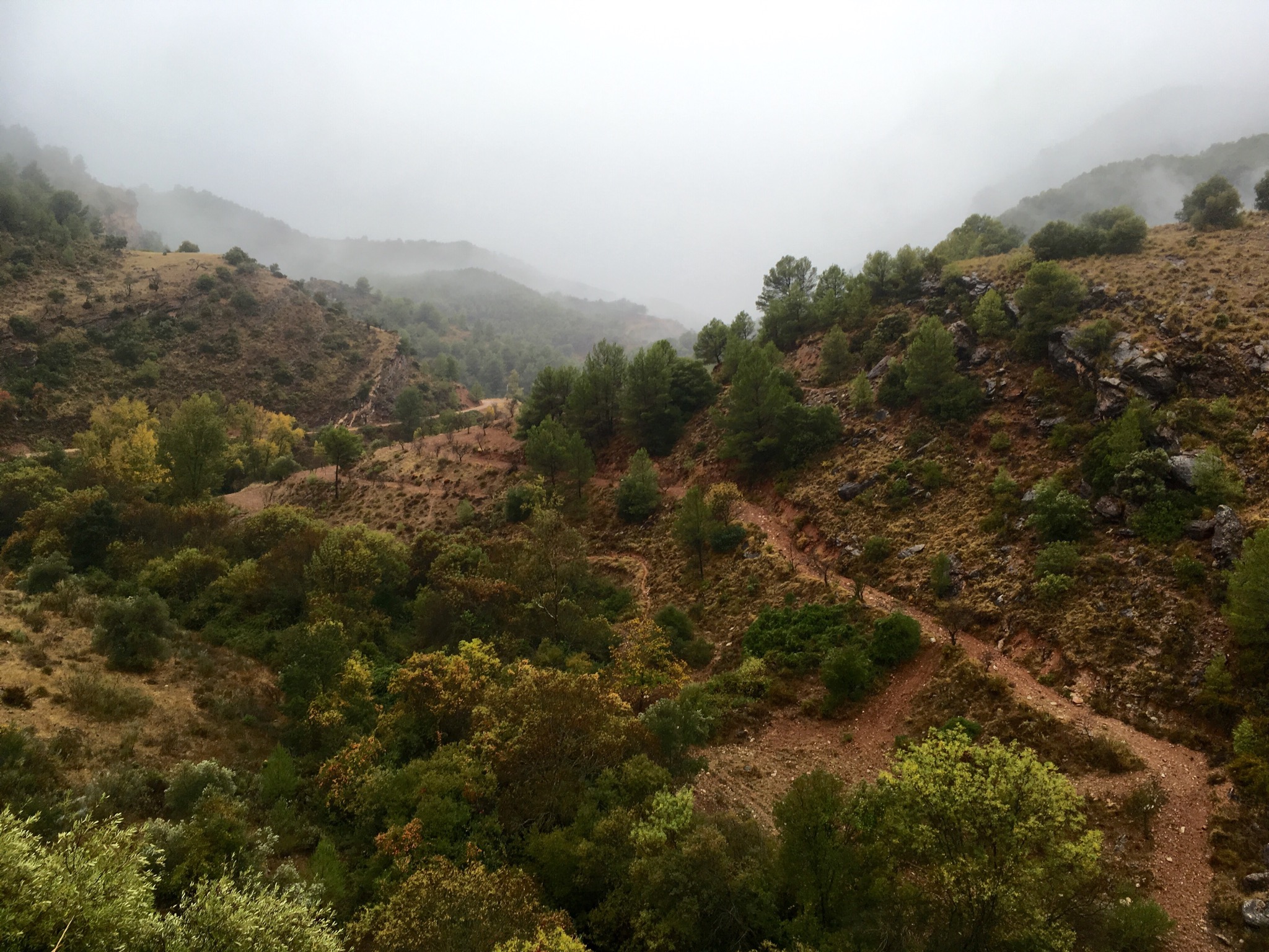
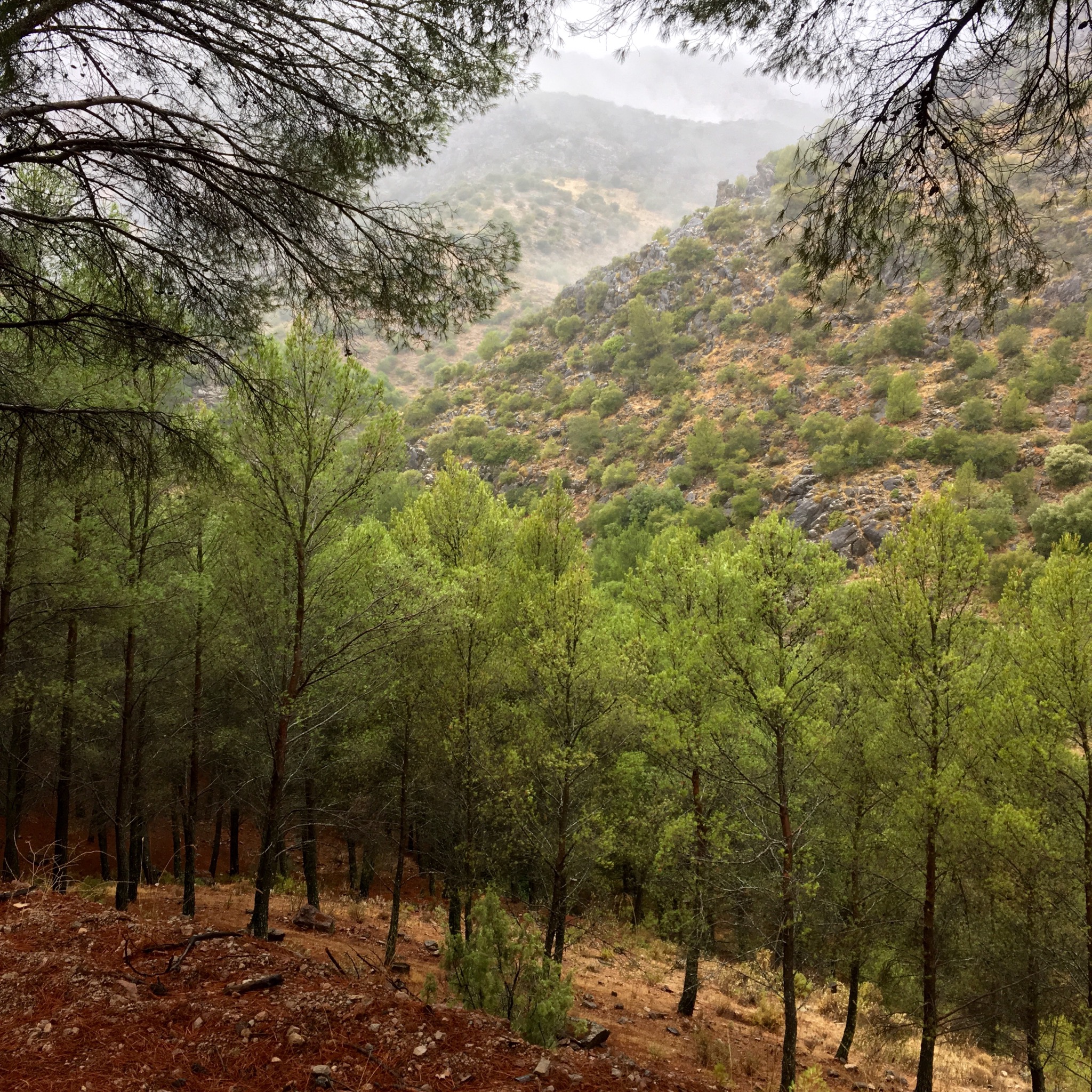
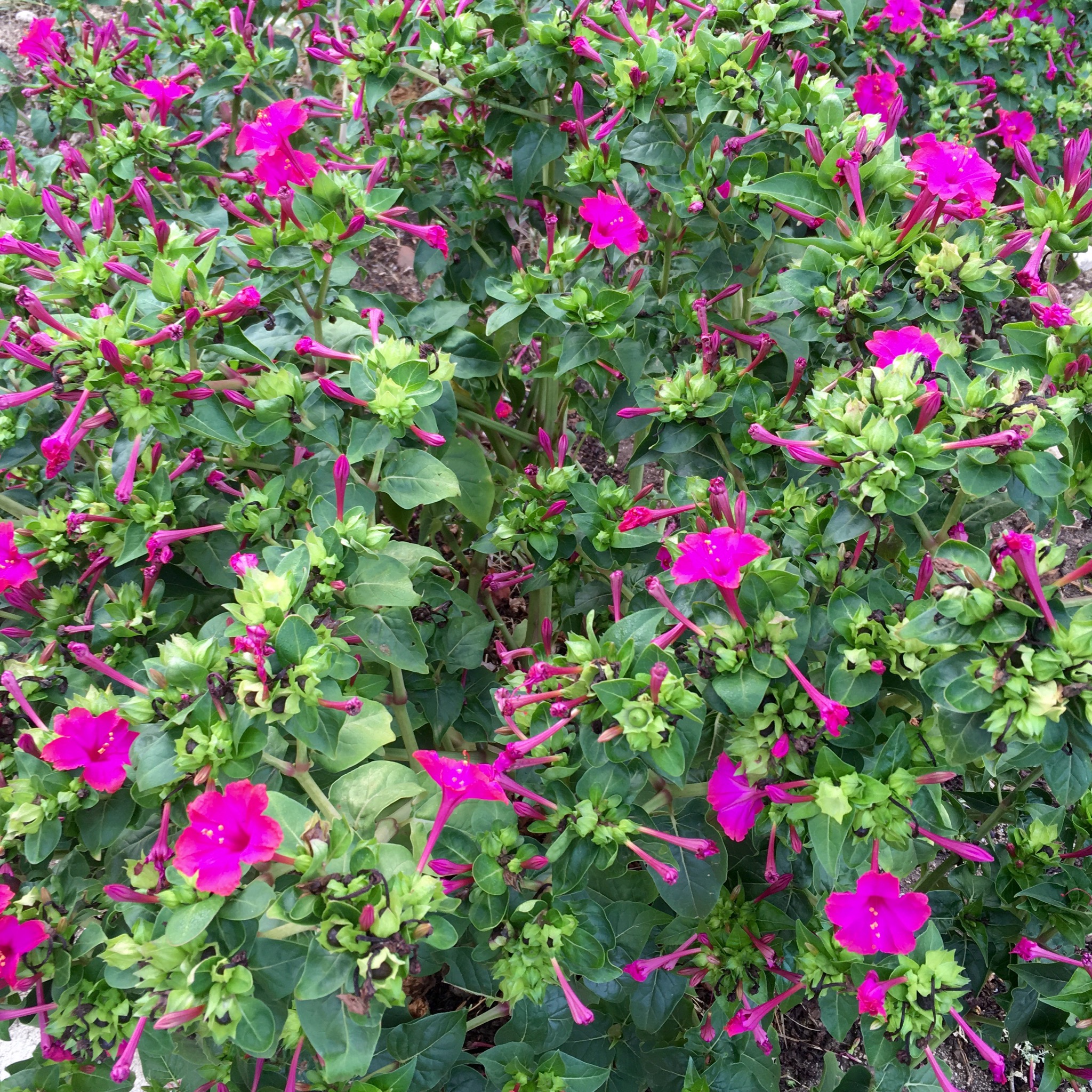
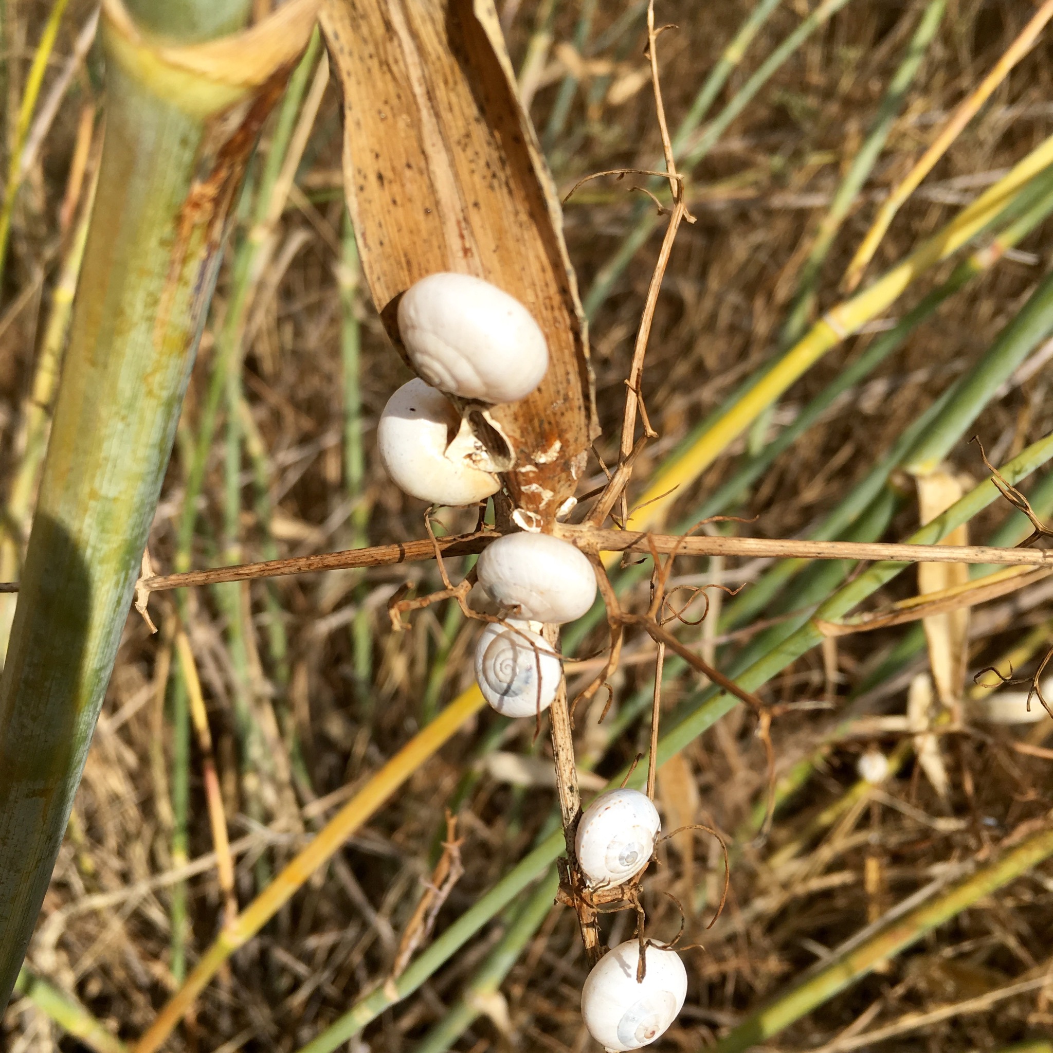
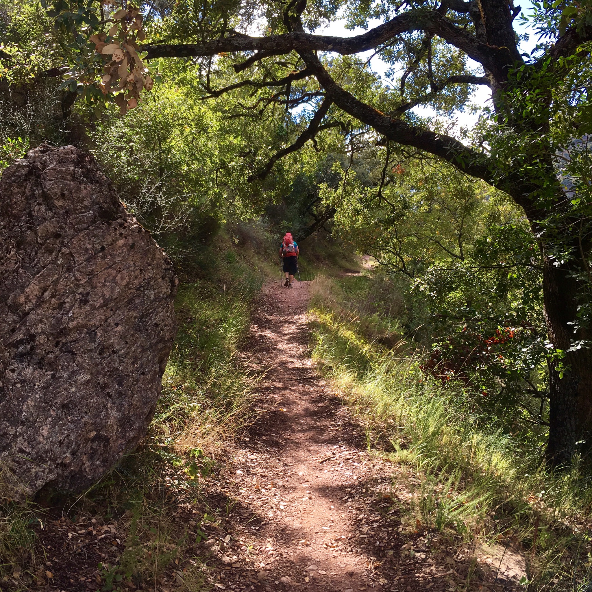
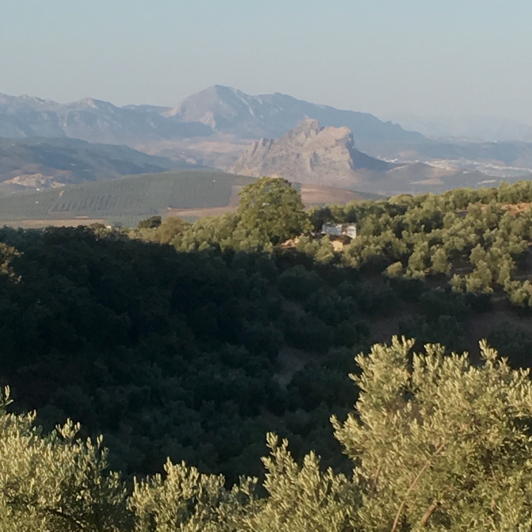
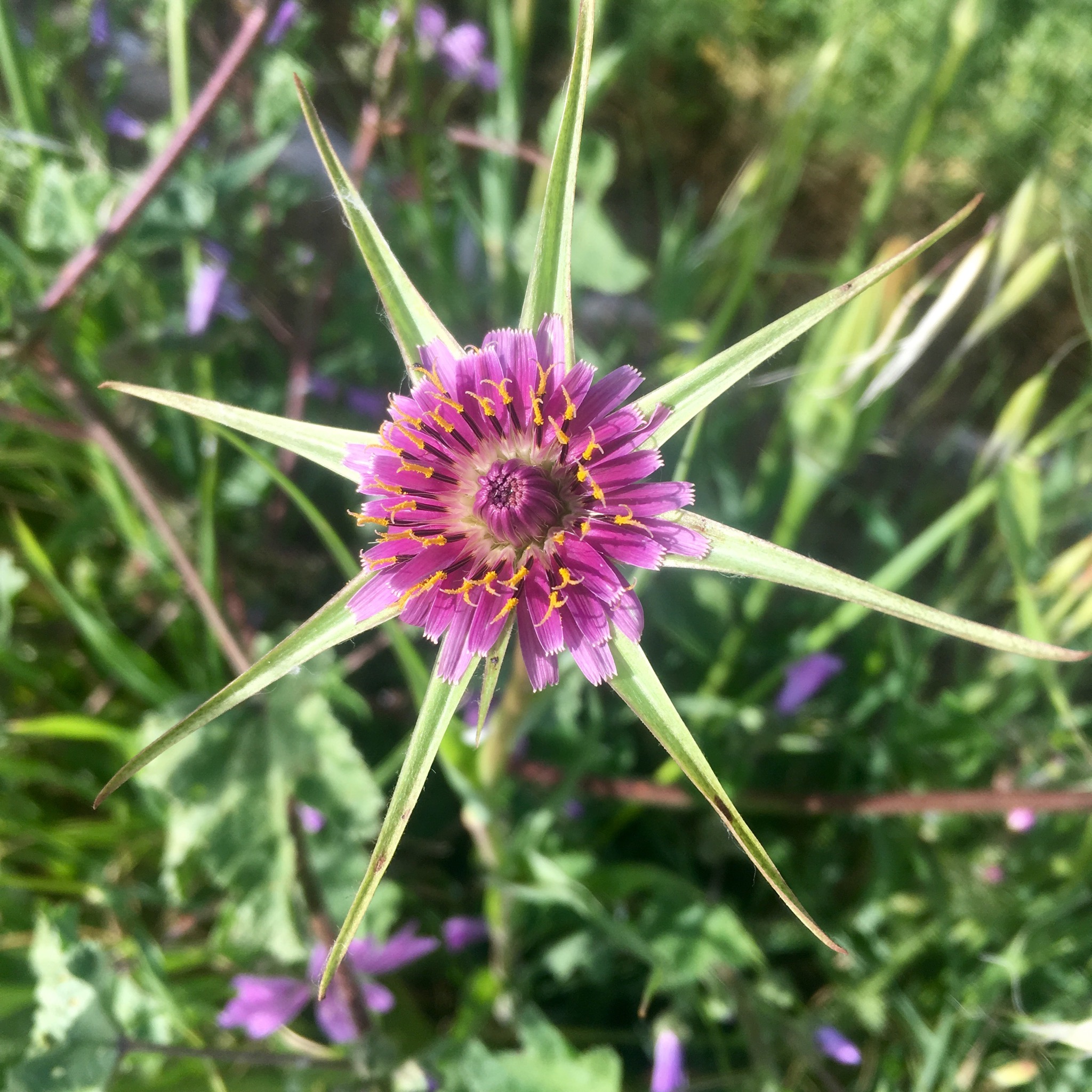
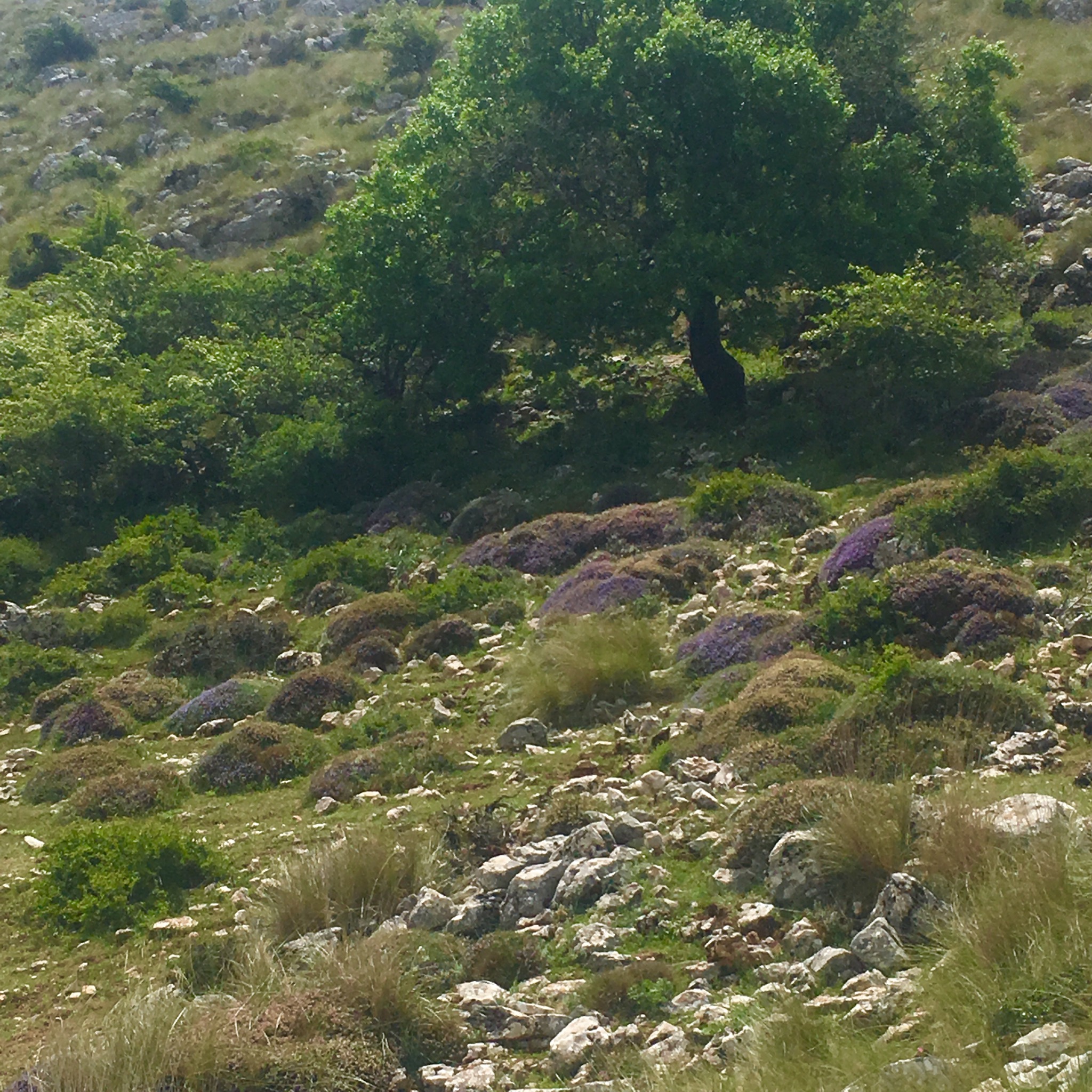
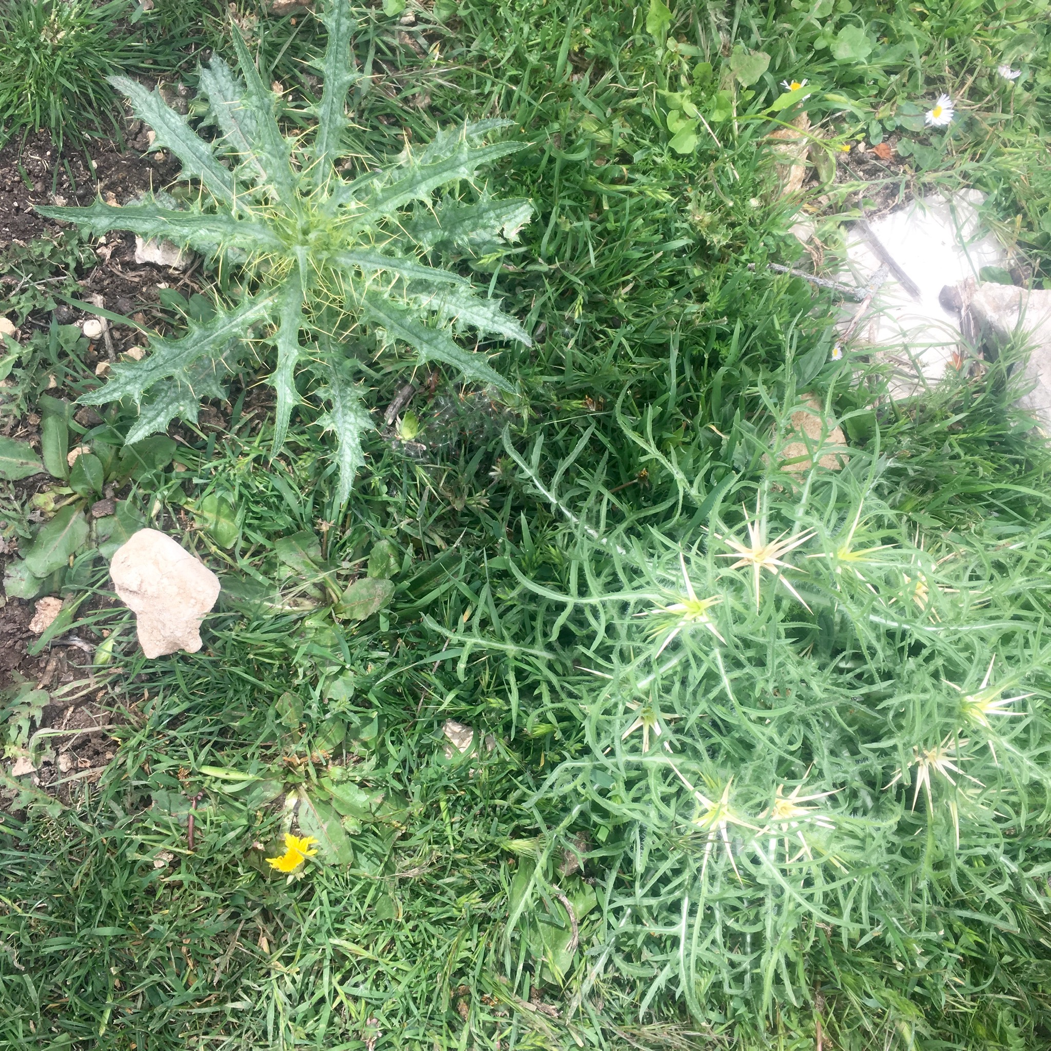
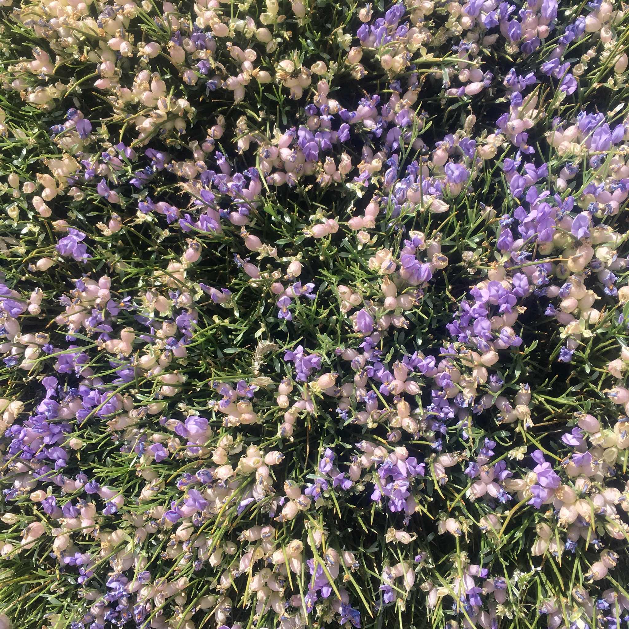
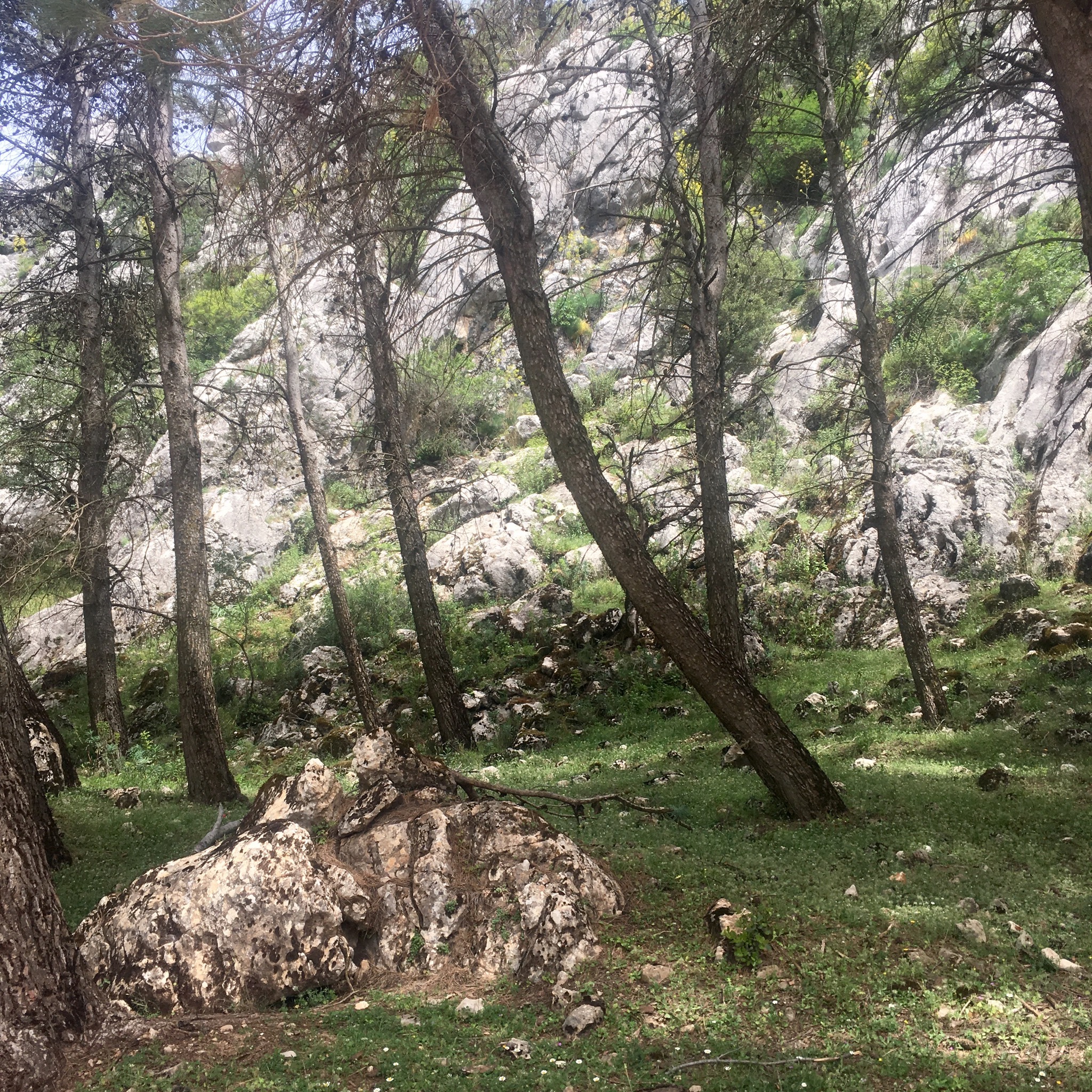
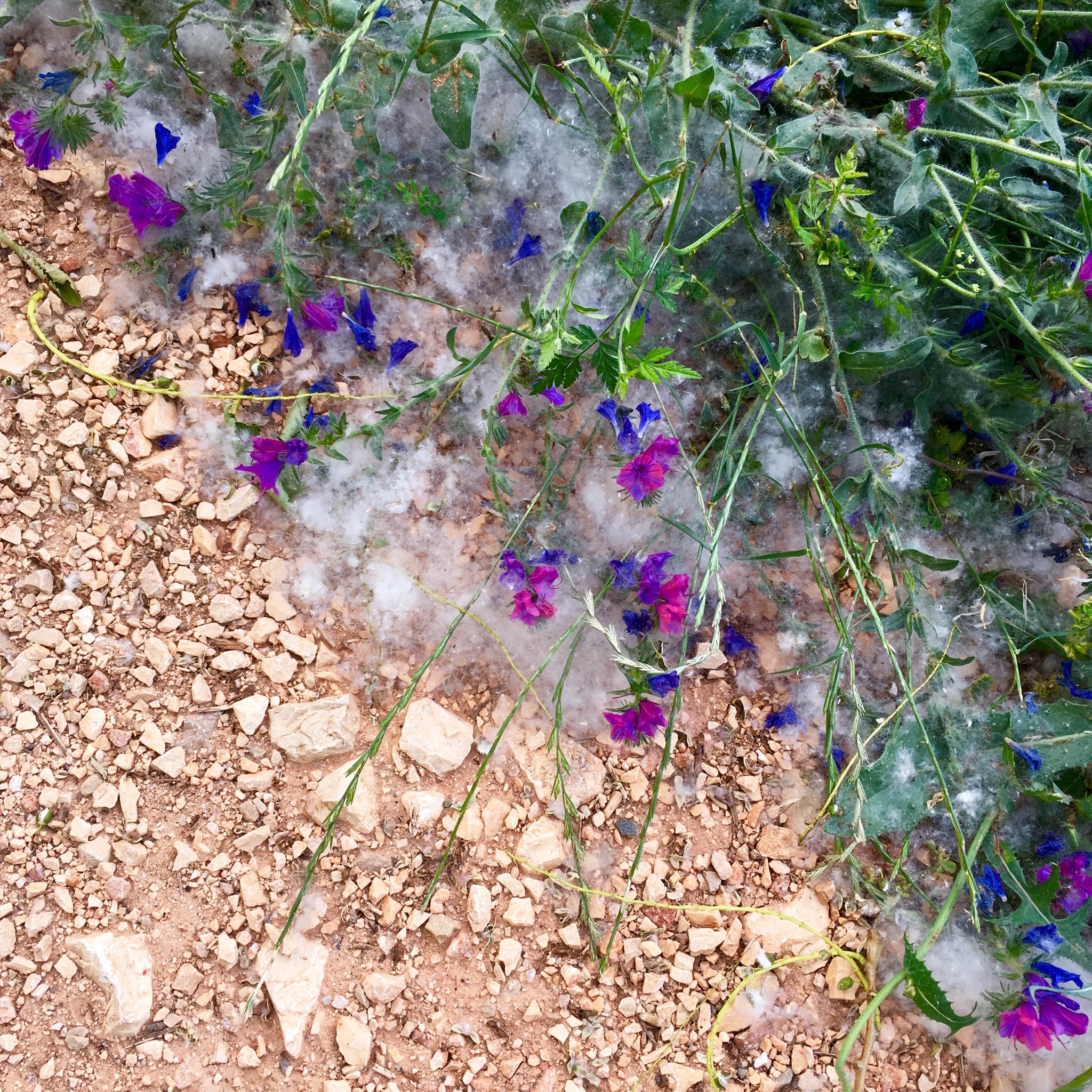
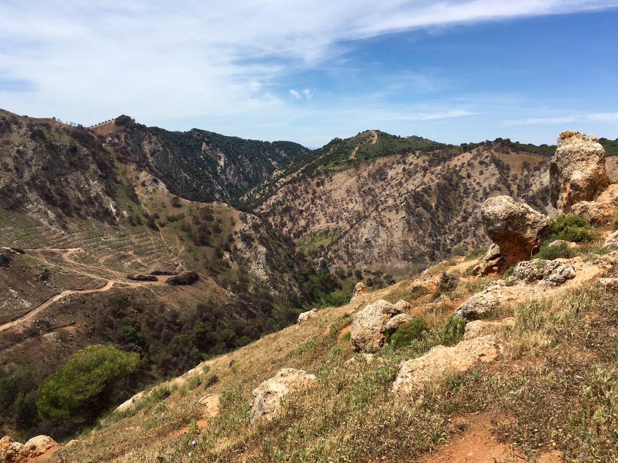
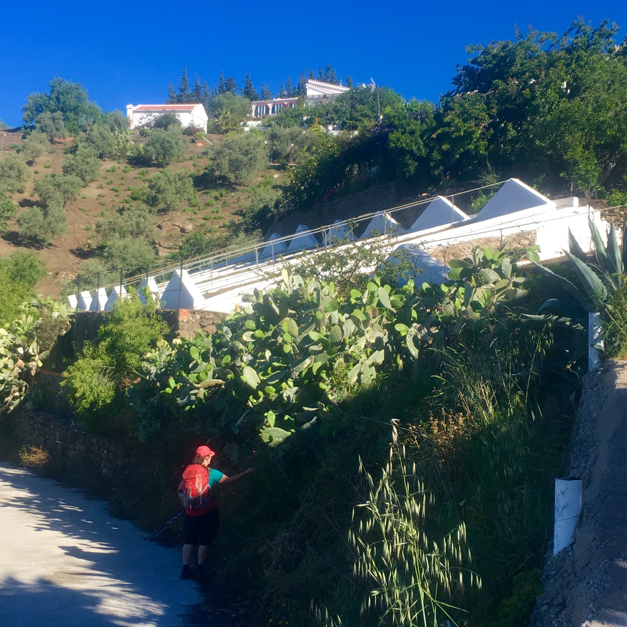
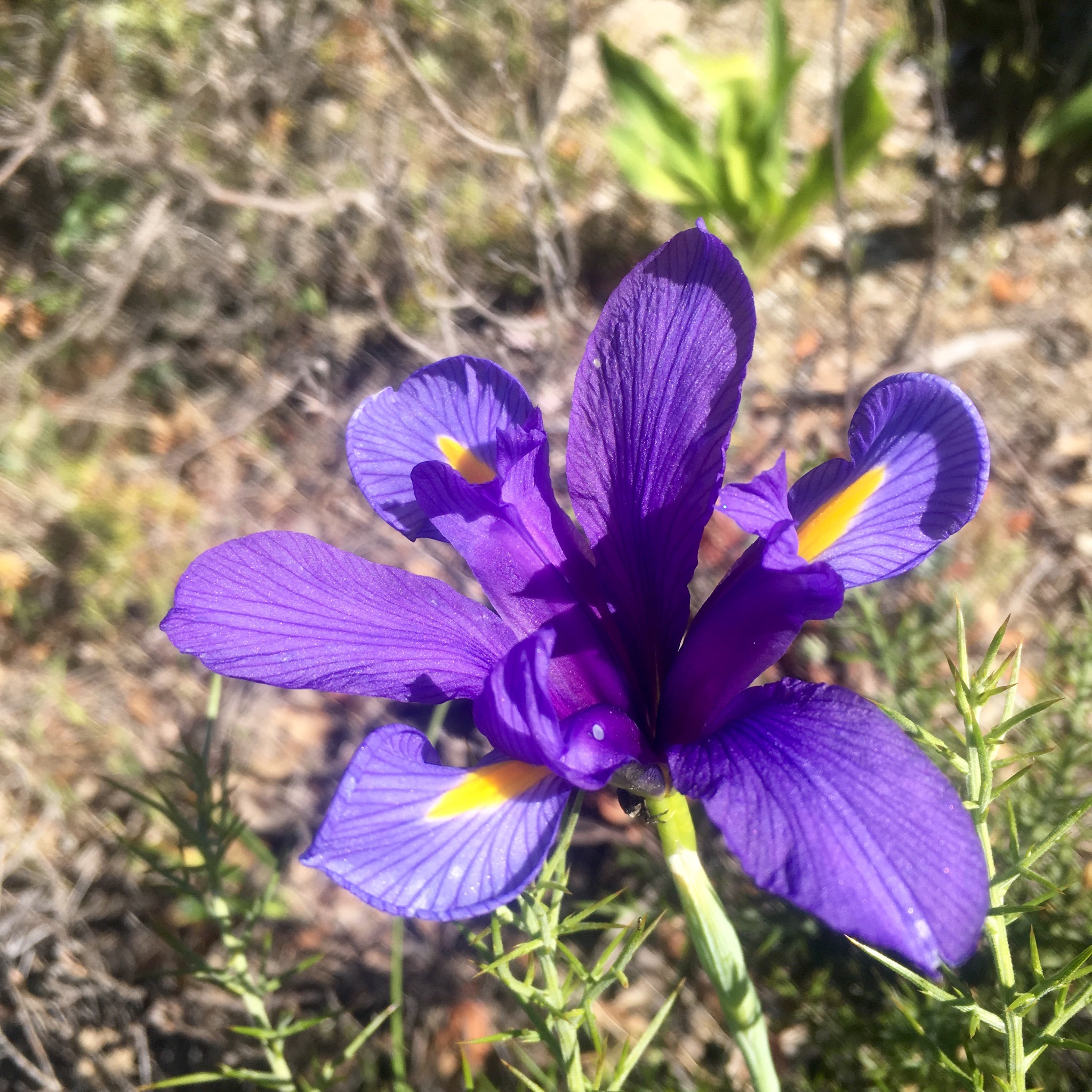
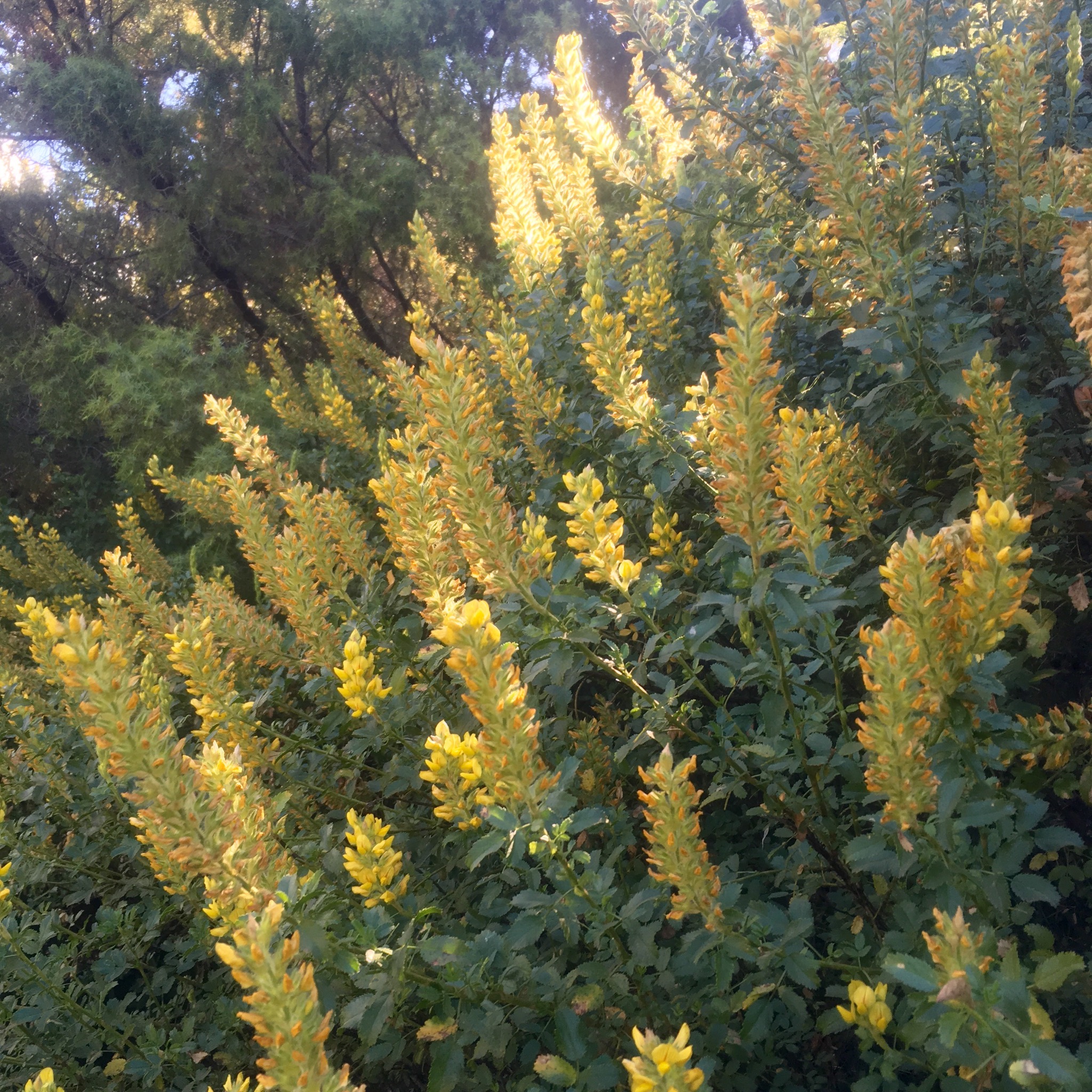
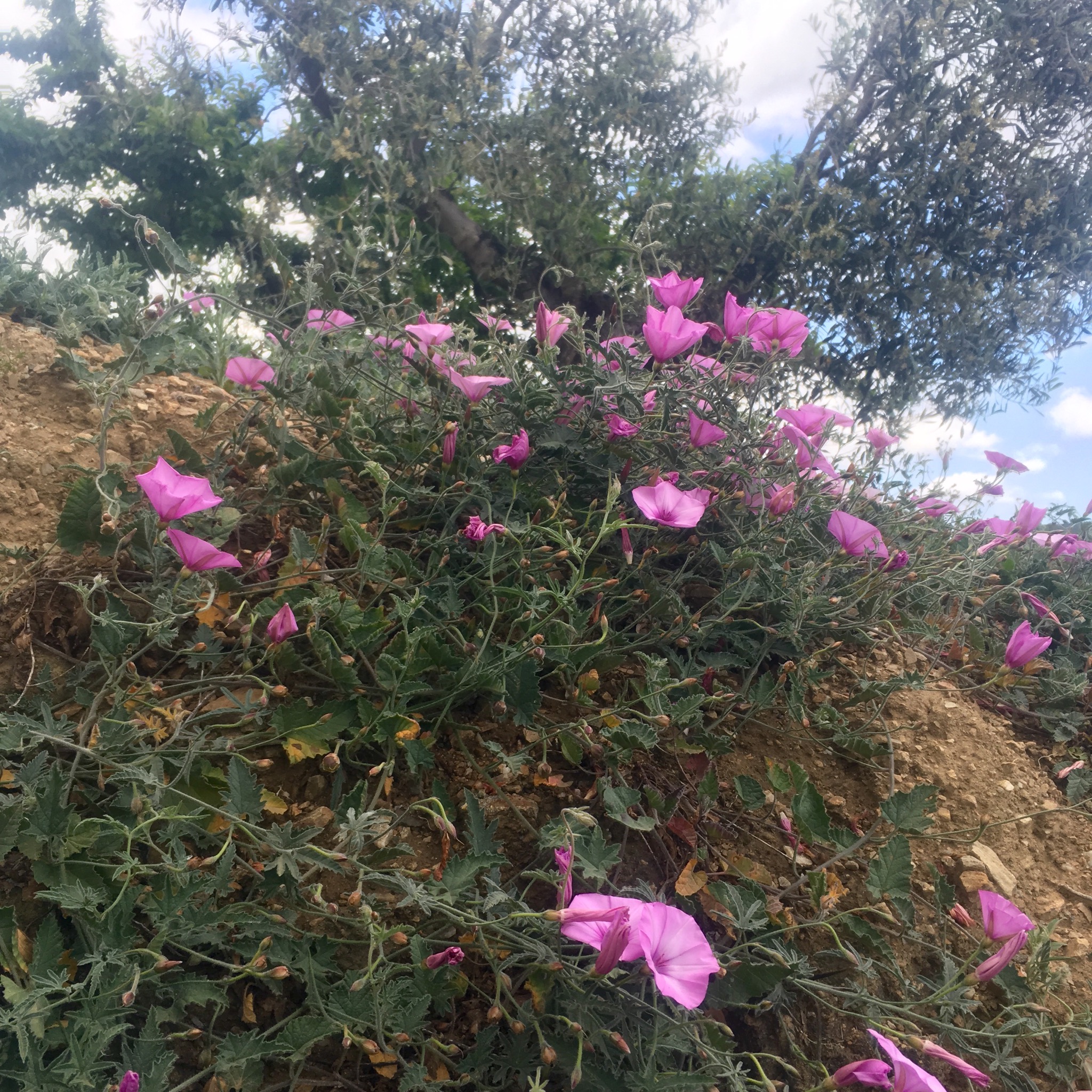
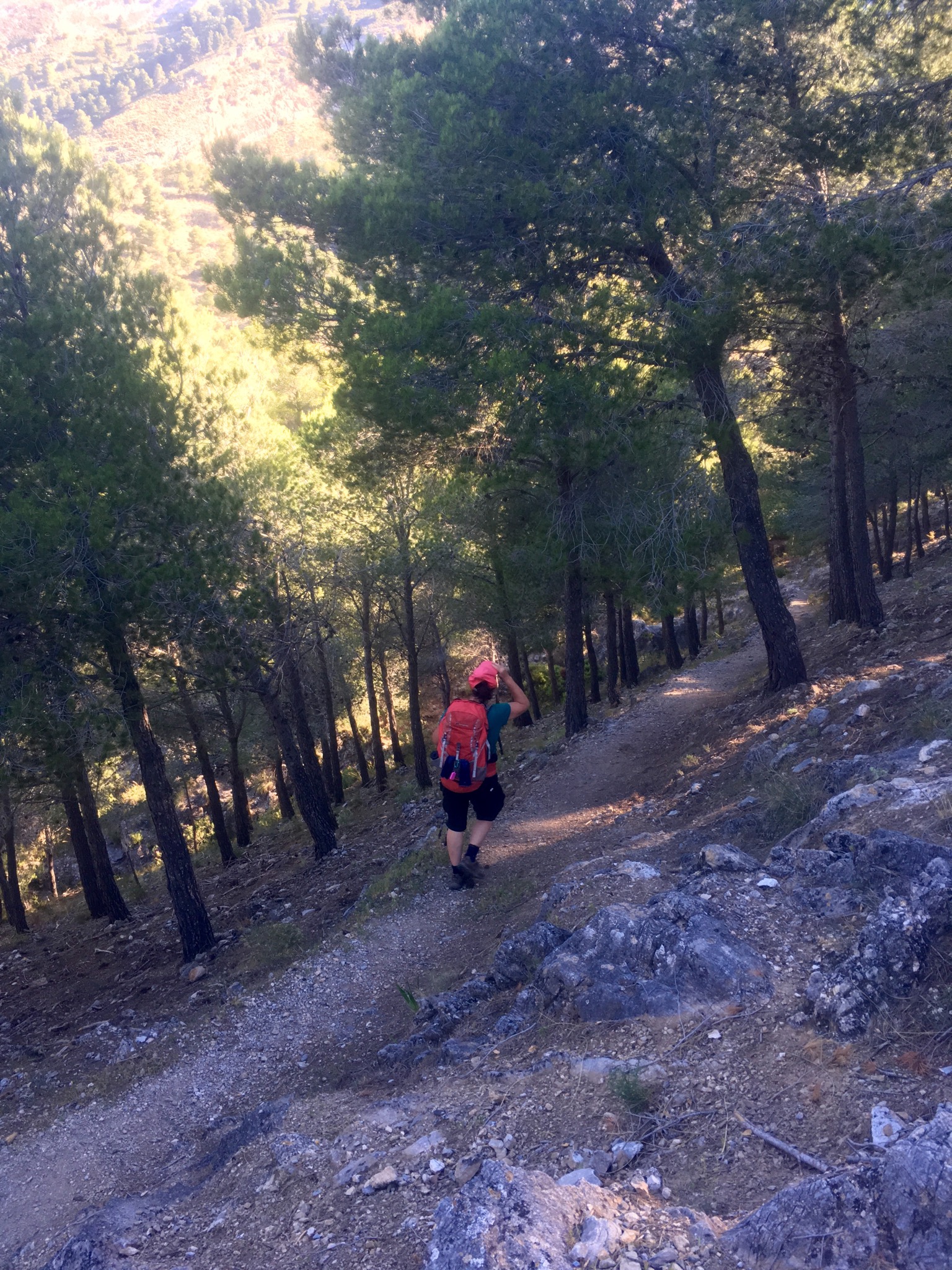
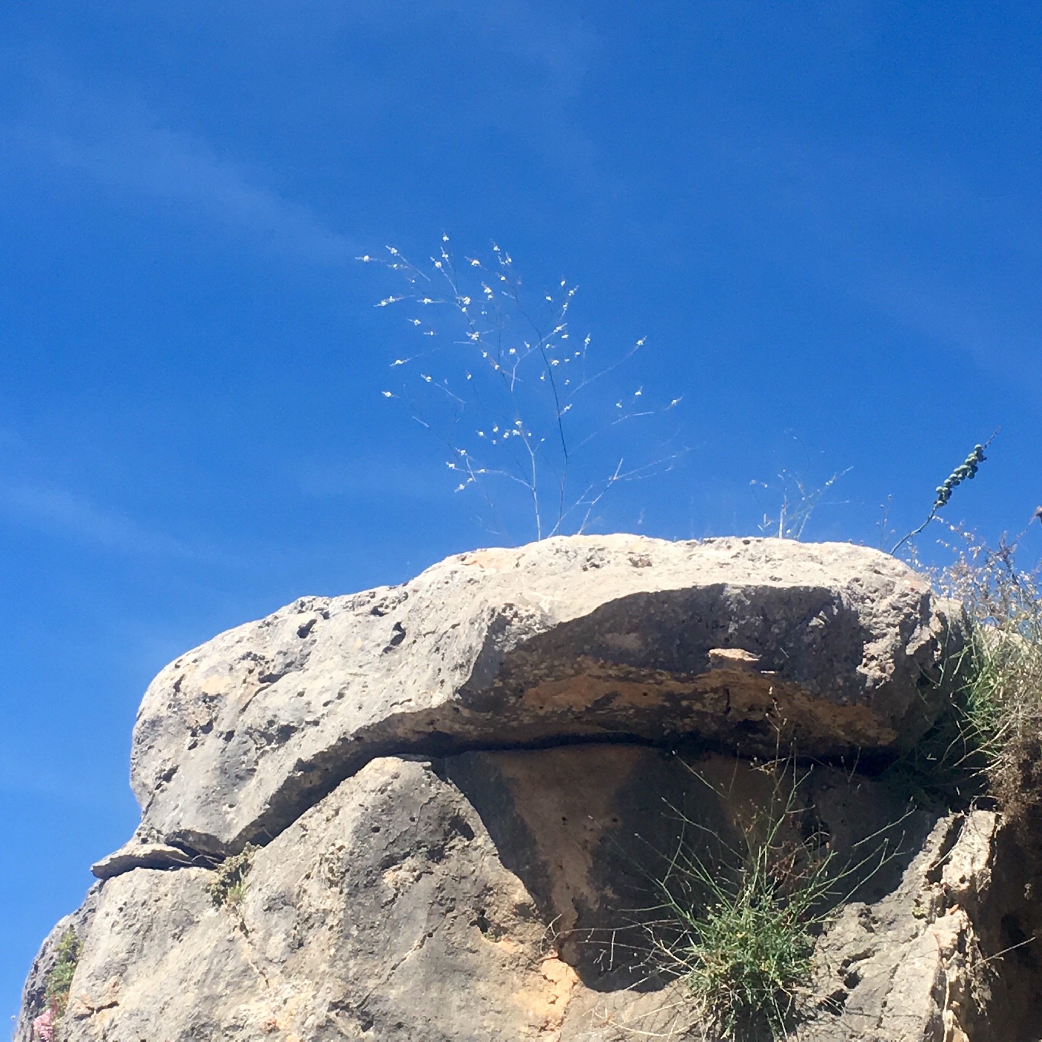
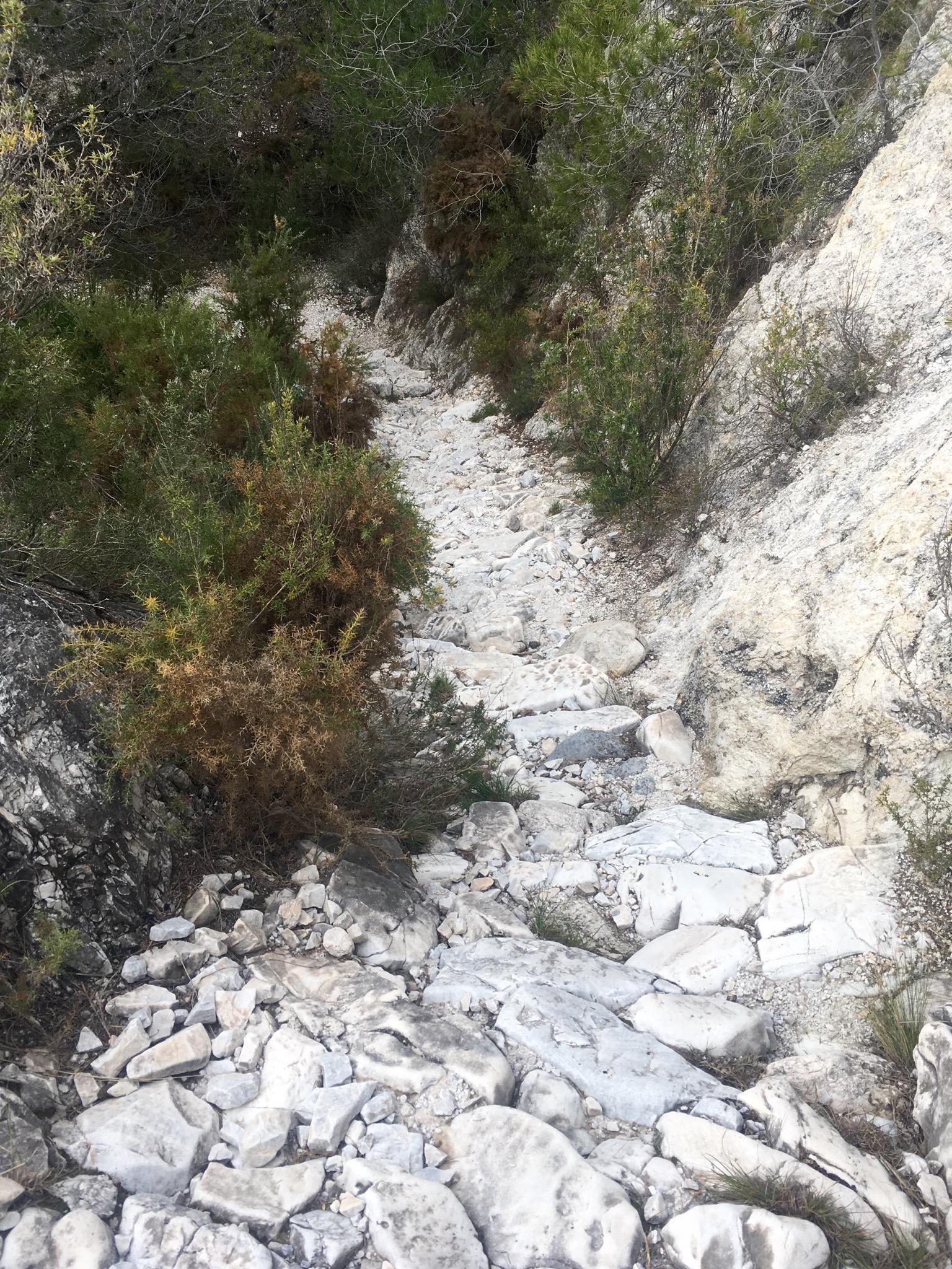
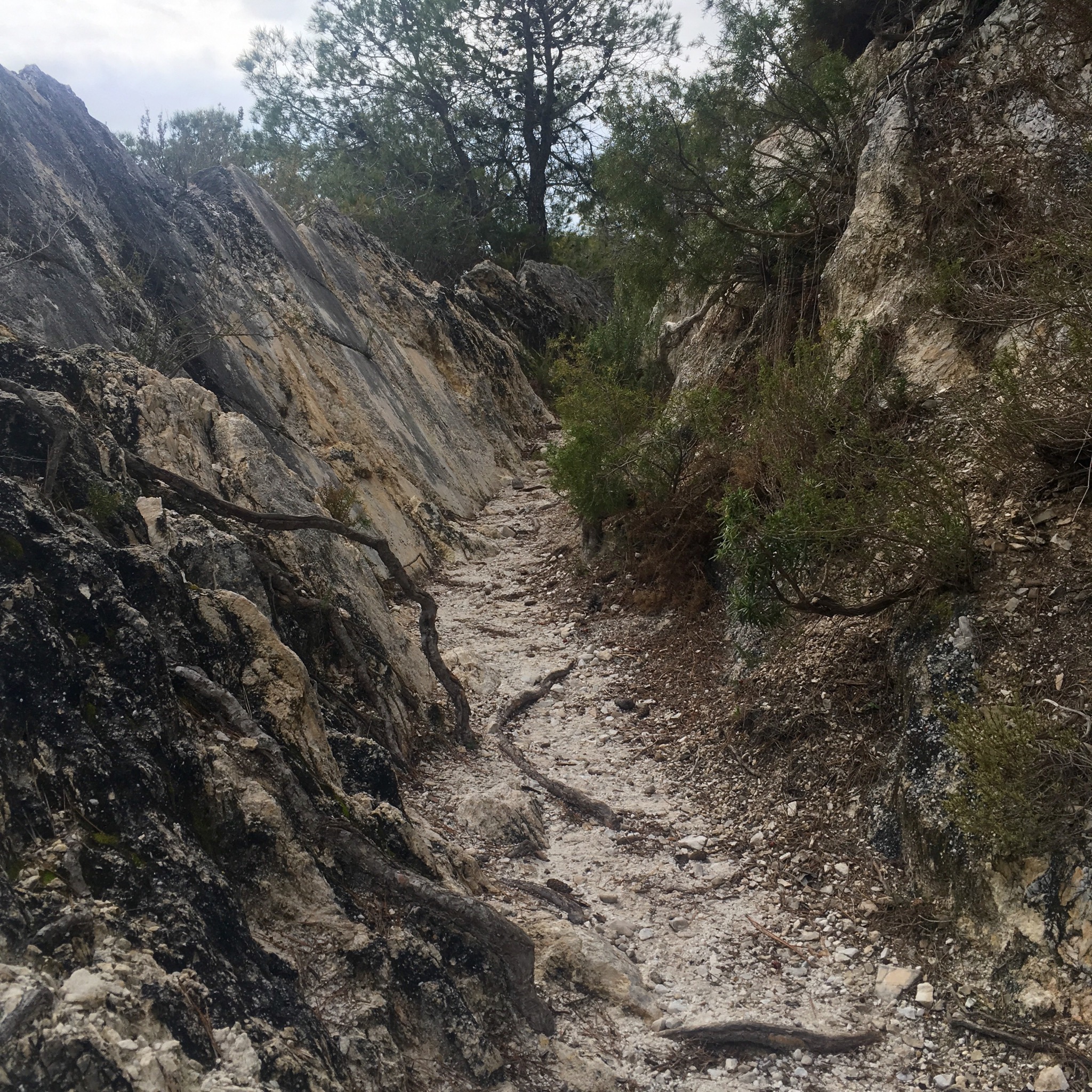
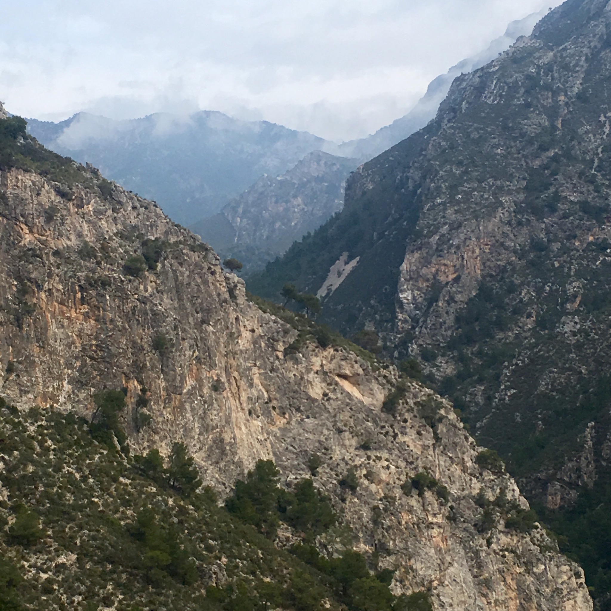
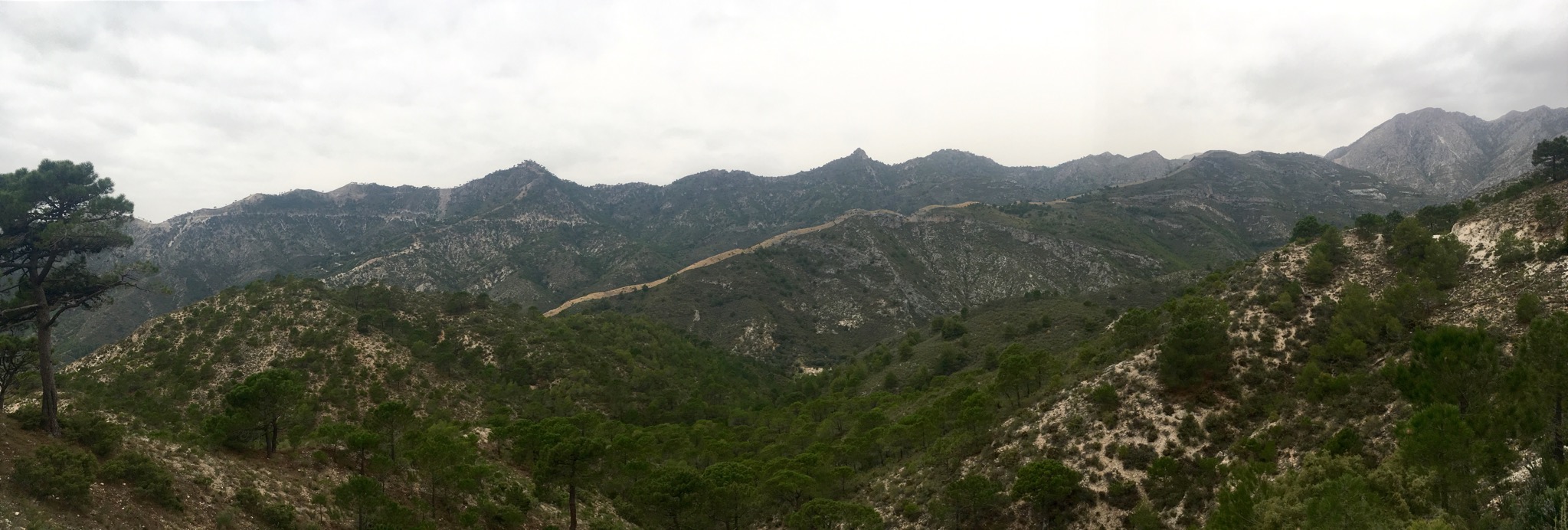
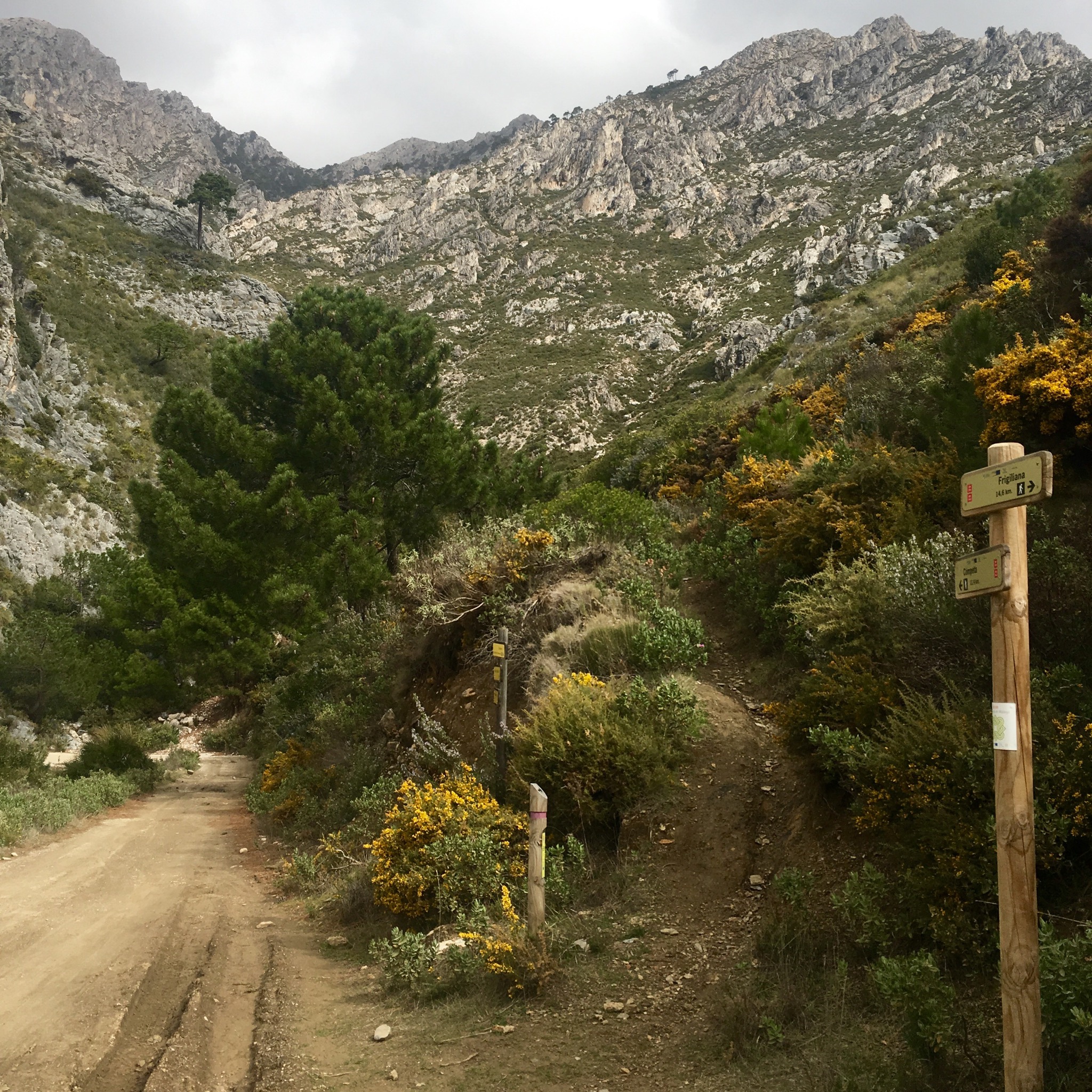
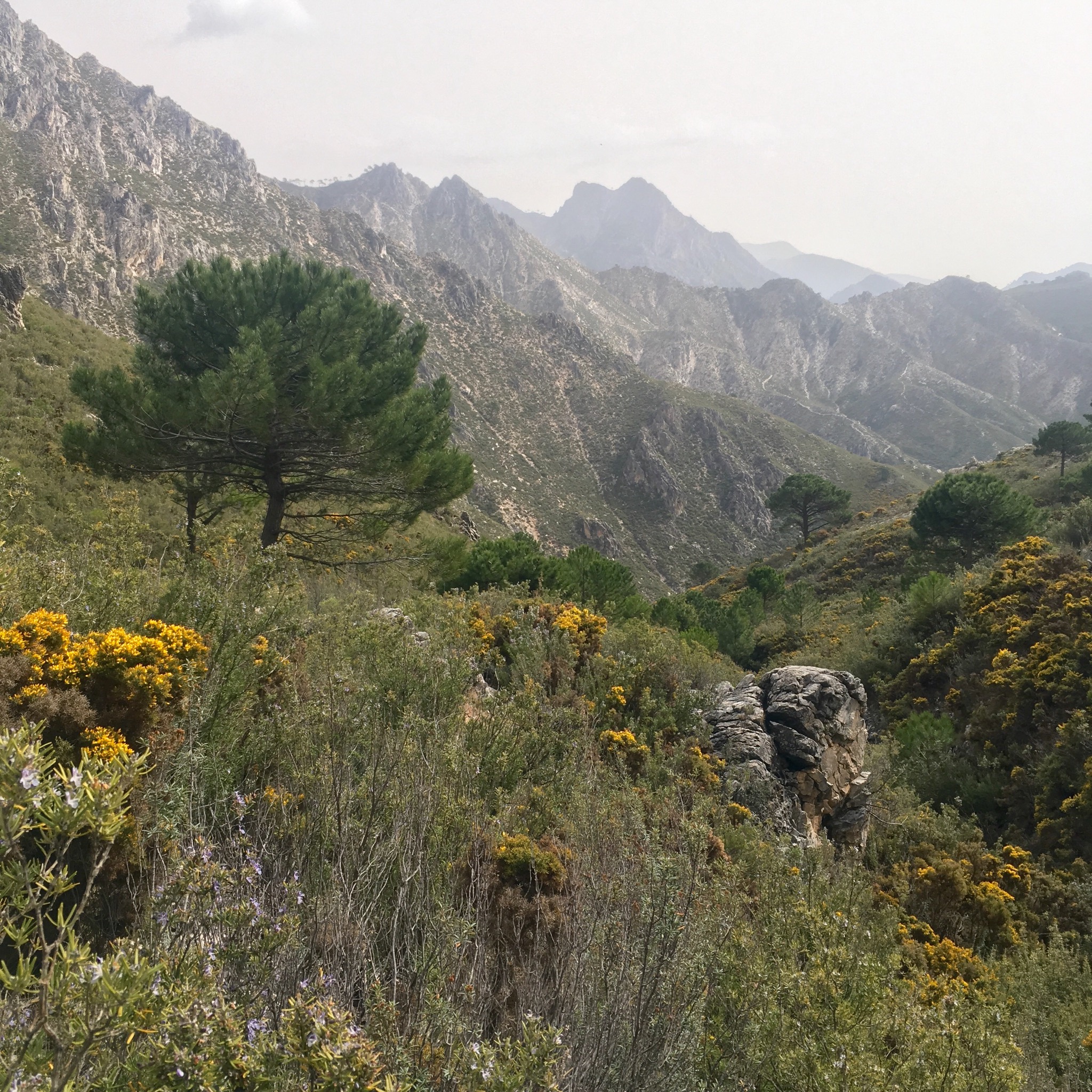
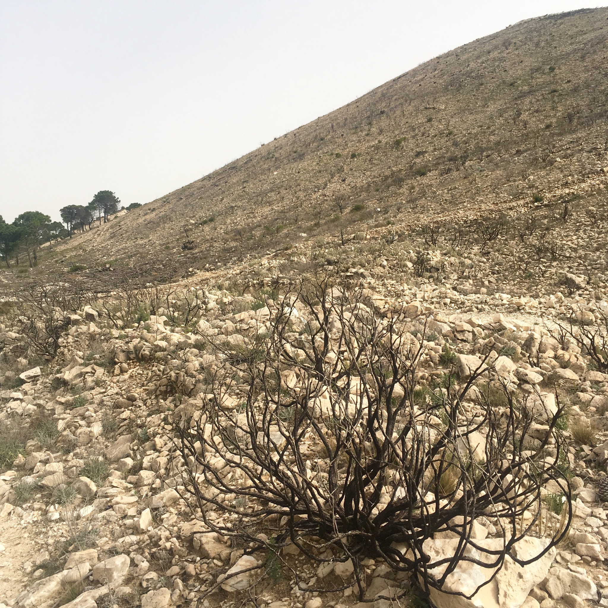
Away from the town the surroundings got rugged rapidly with the path following the contours of the land through scented pines and Mediterranean scrub of gorse, thyme and esparto. The ridges of the mountains above us separate the provinces of Granada and Malaga, which we looked out over to the west, as we rested and watered at El Albercon pool.

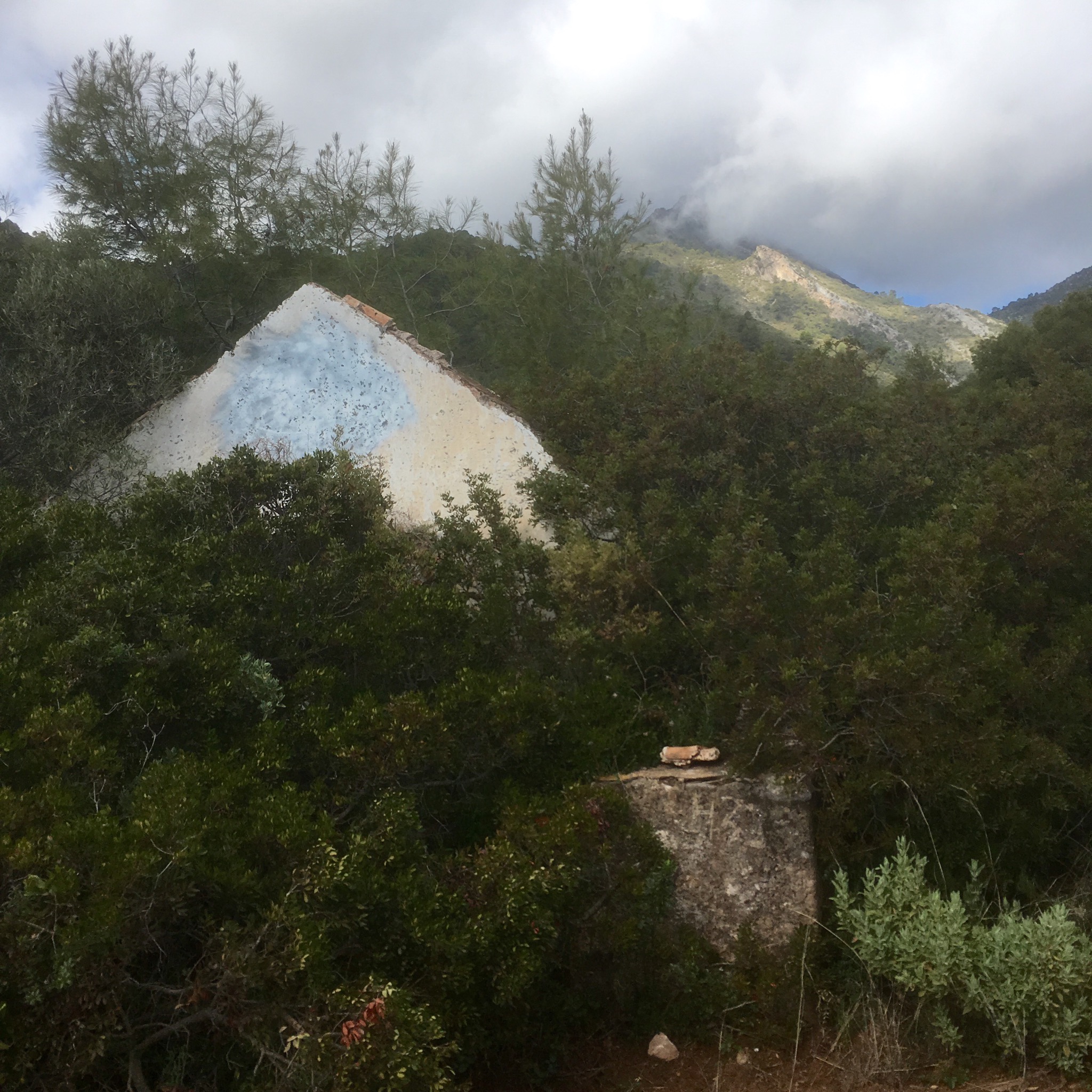
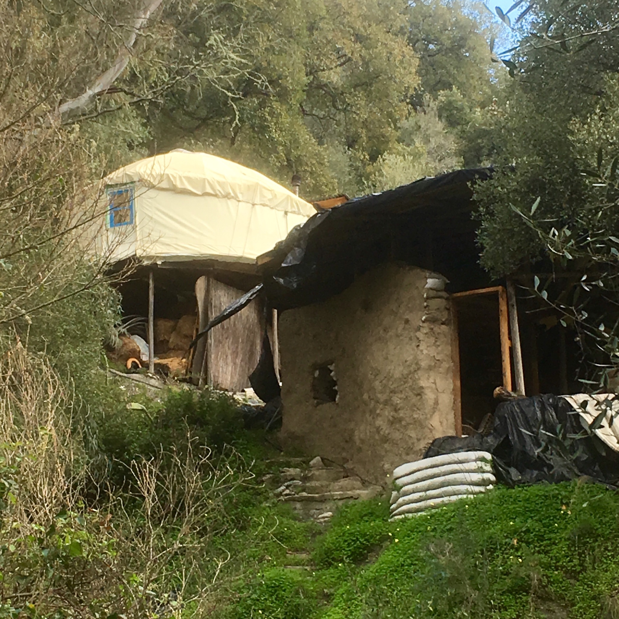
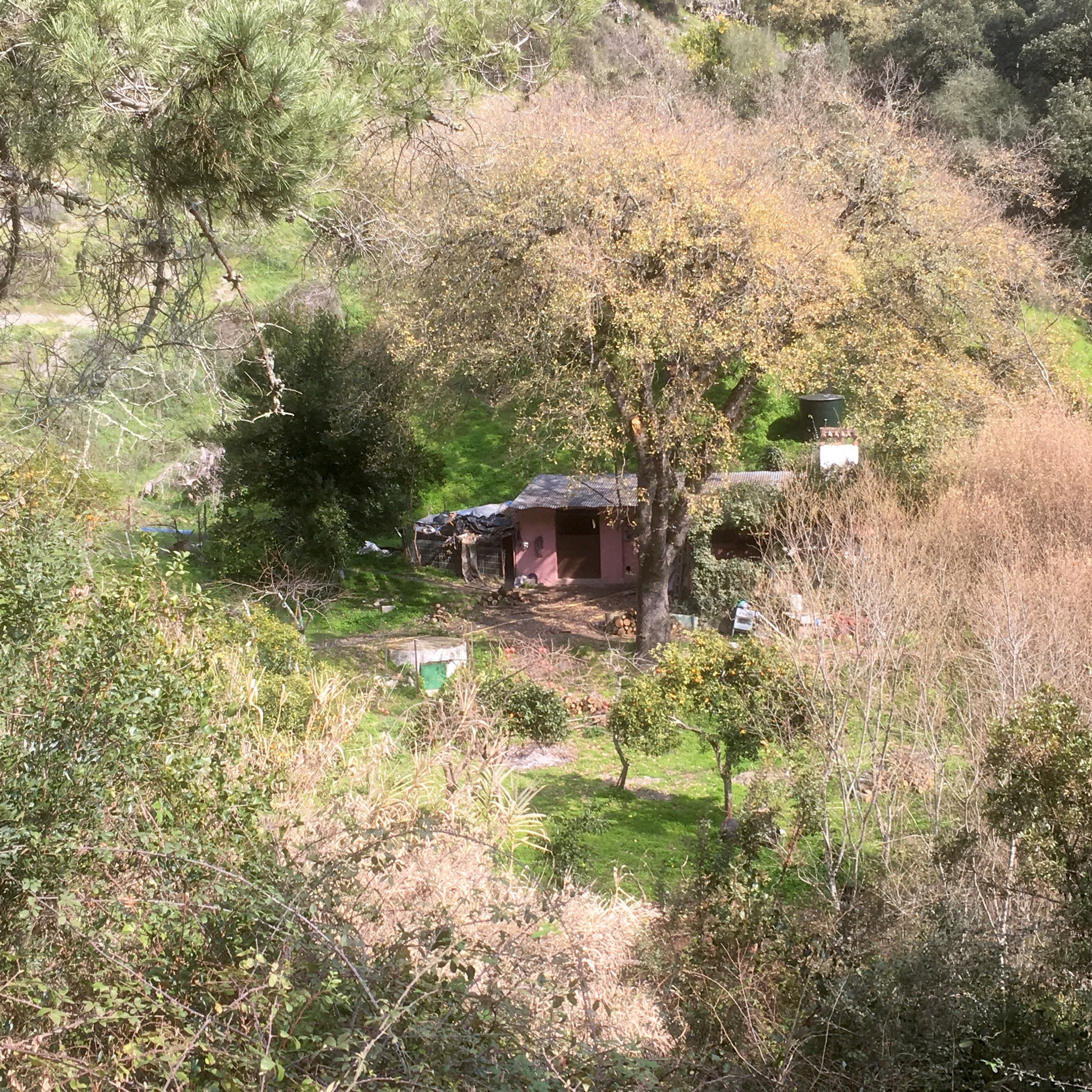
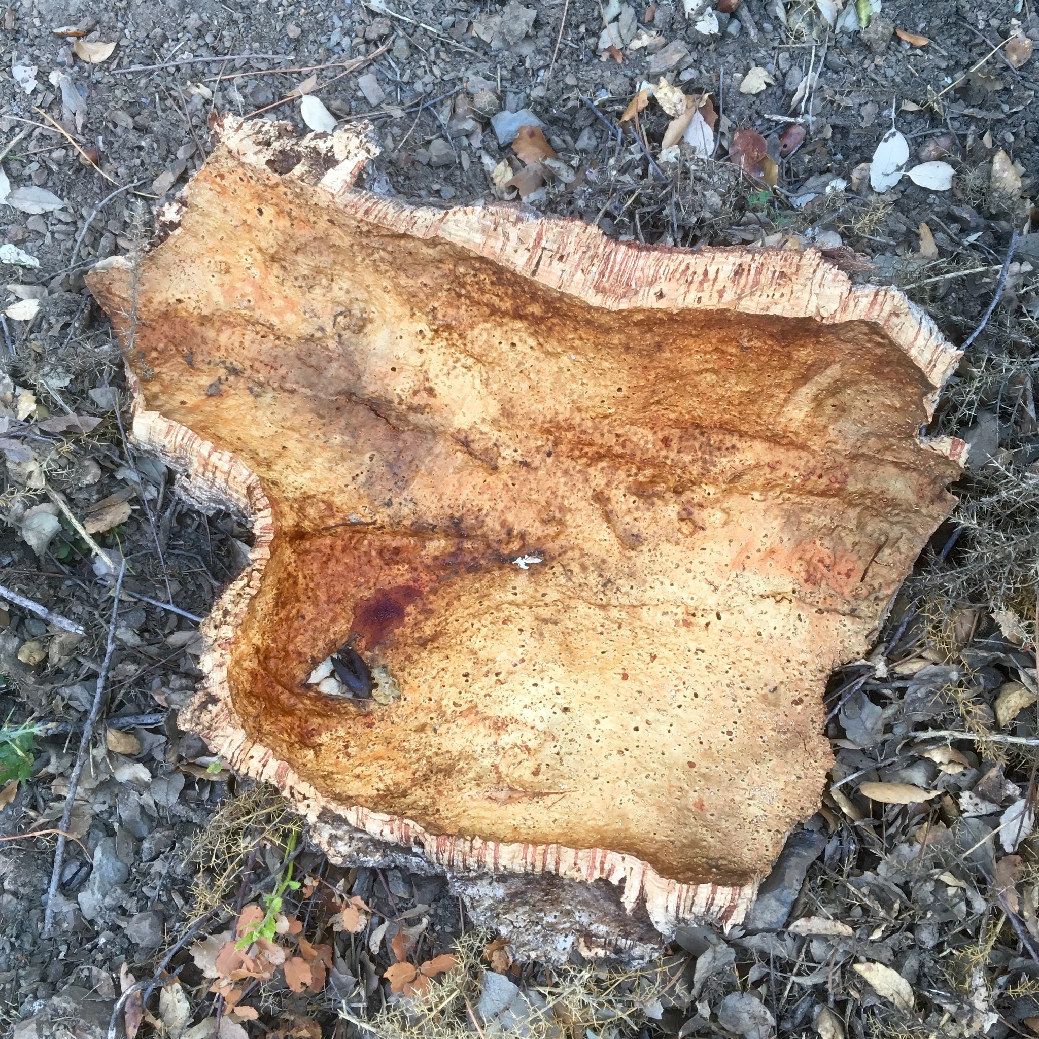
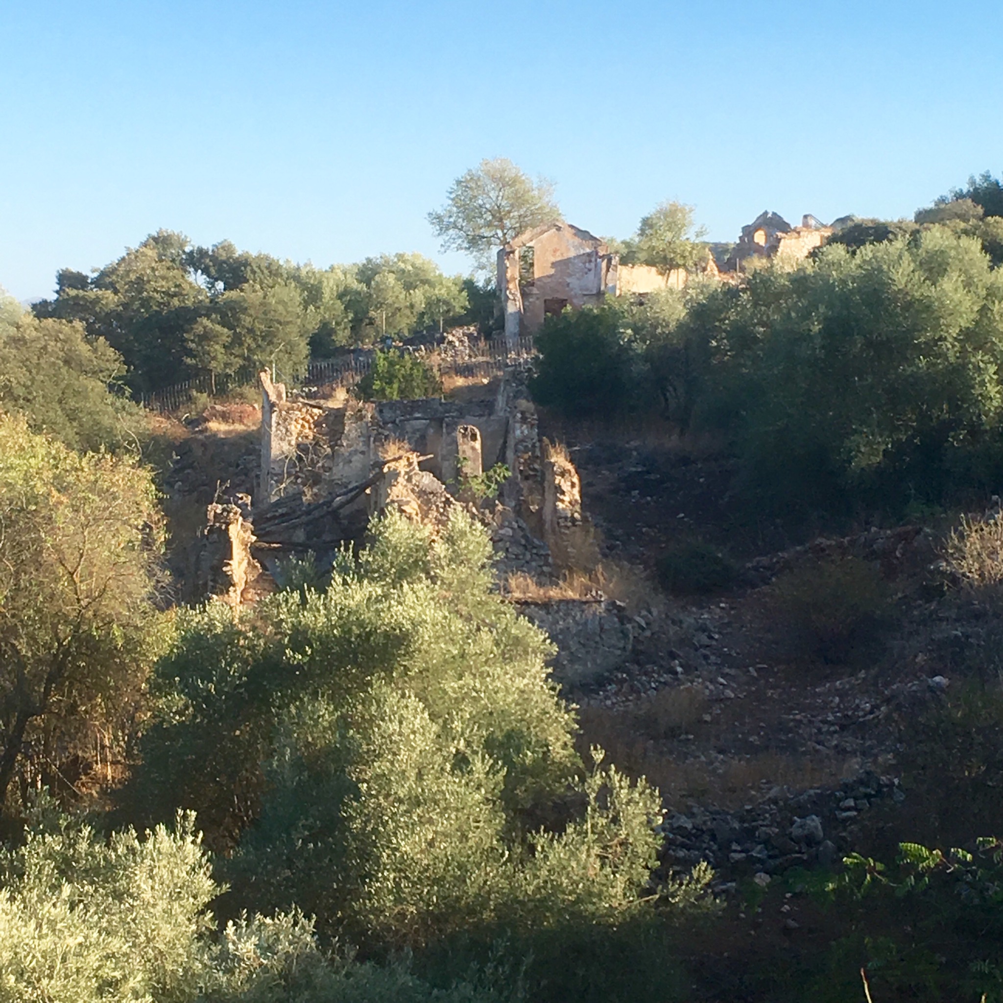
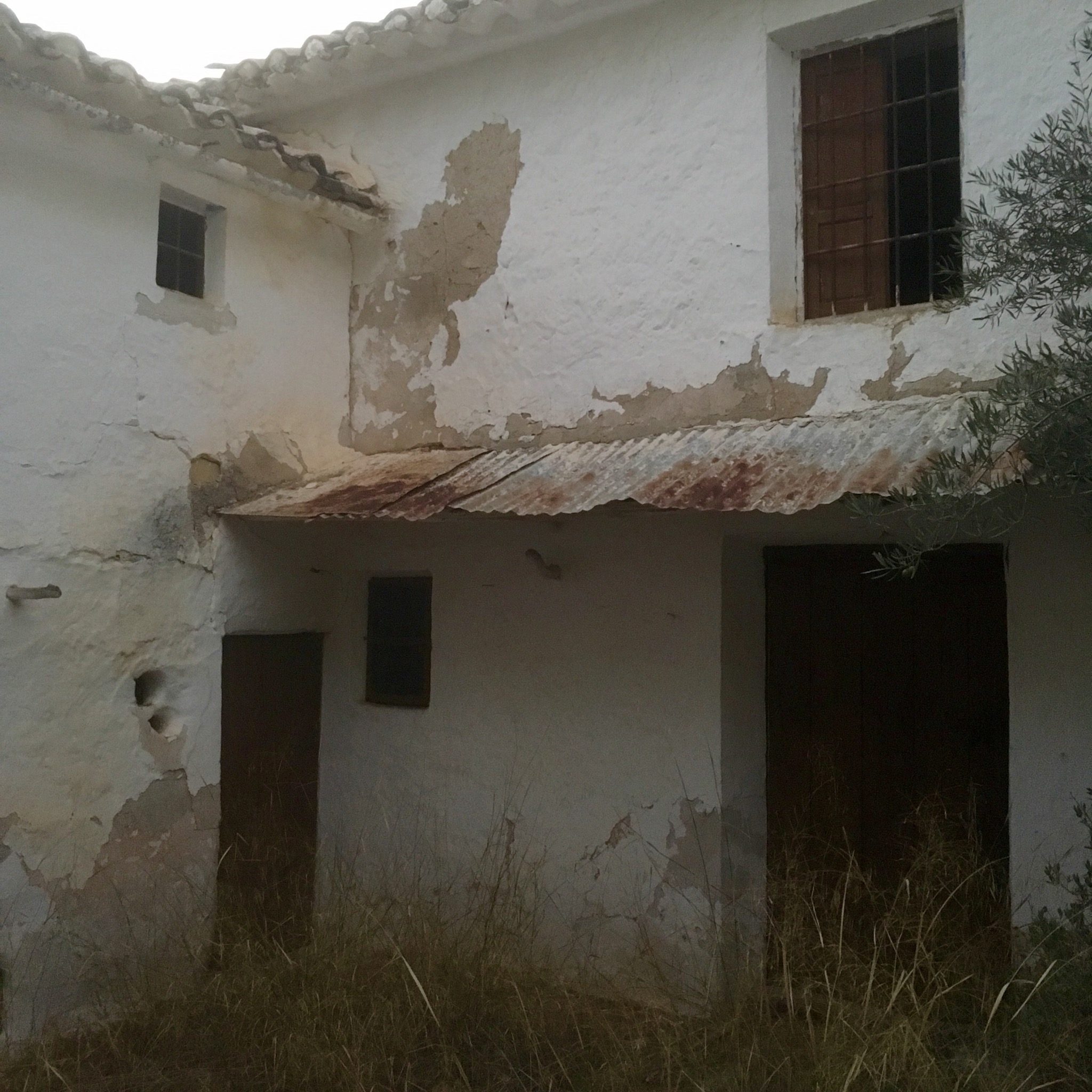
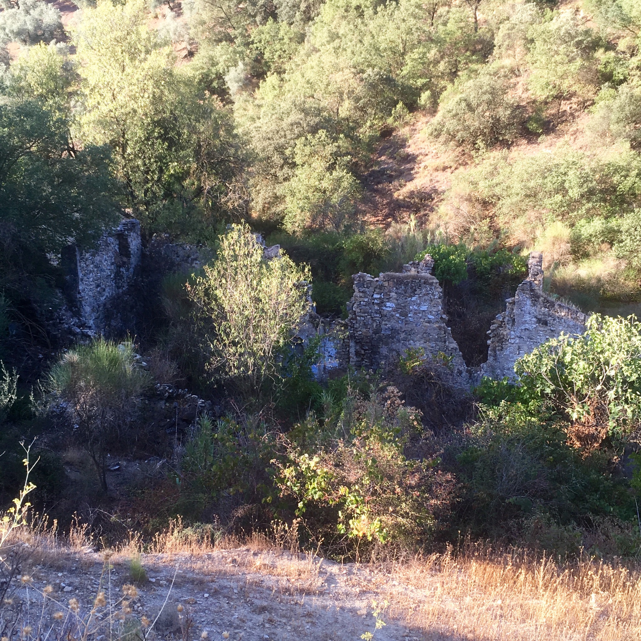
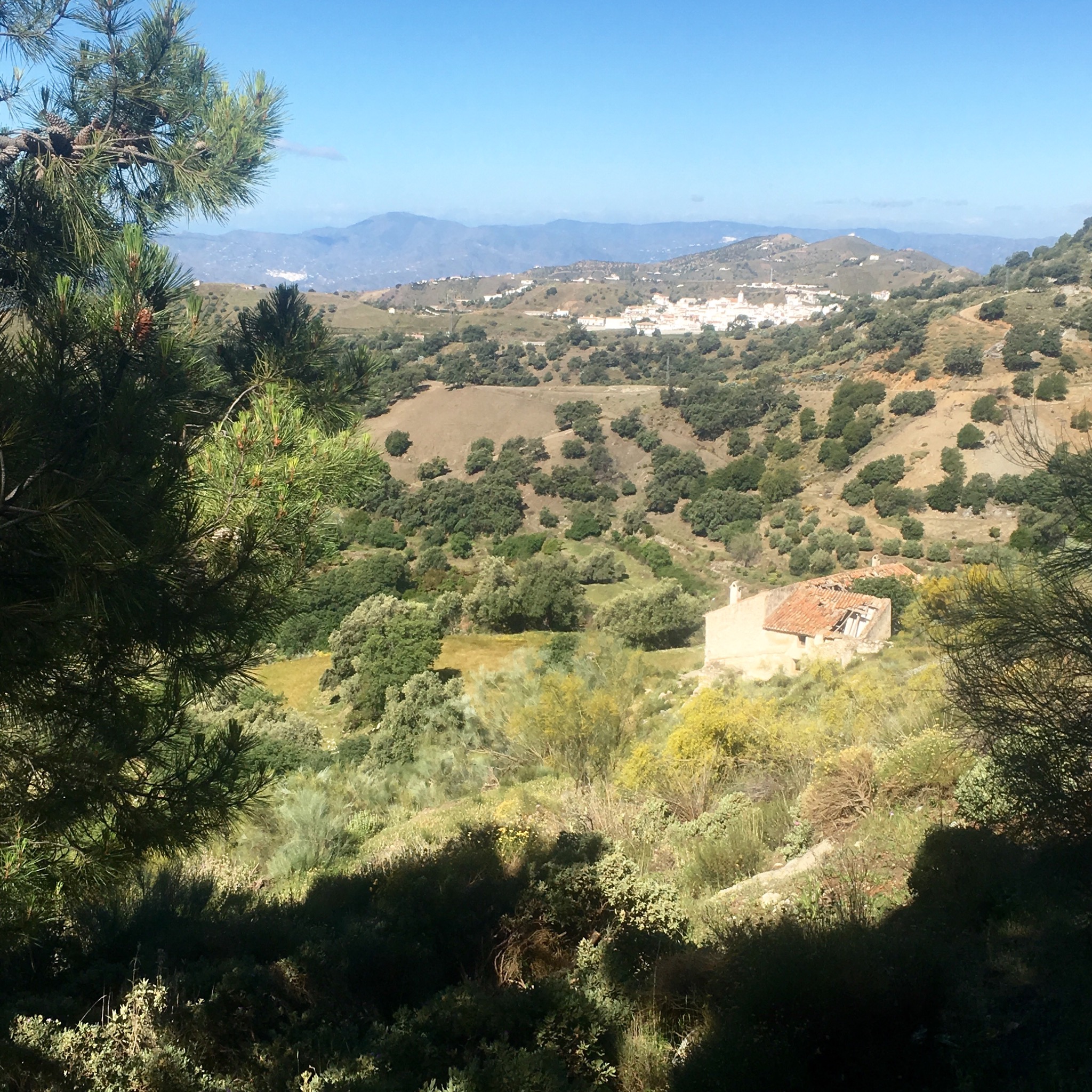
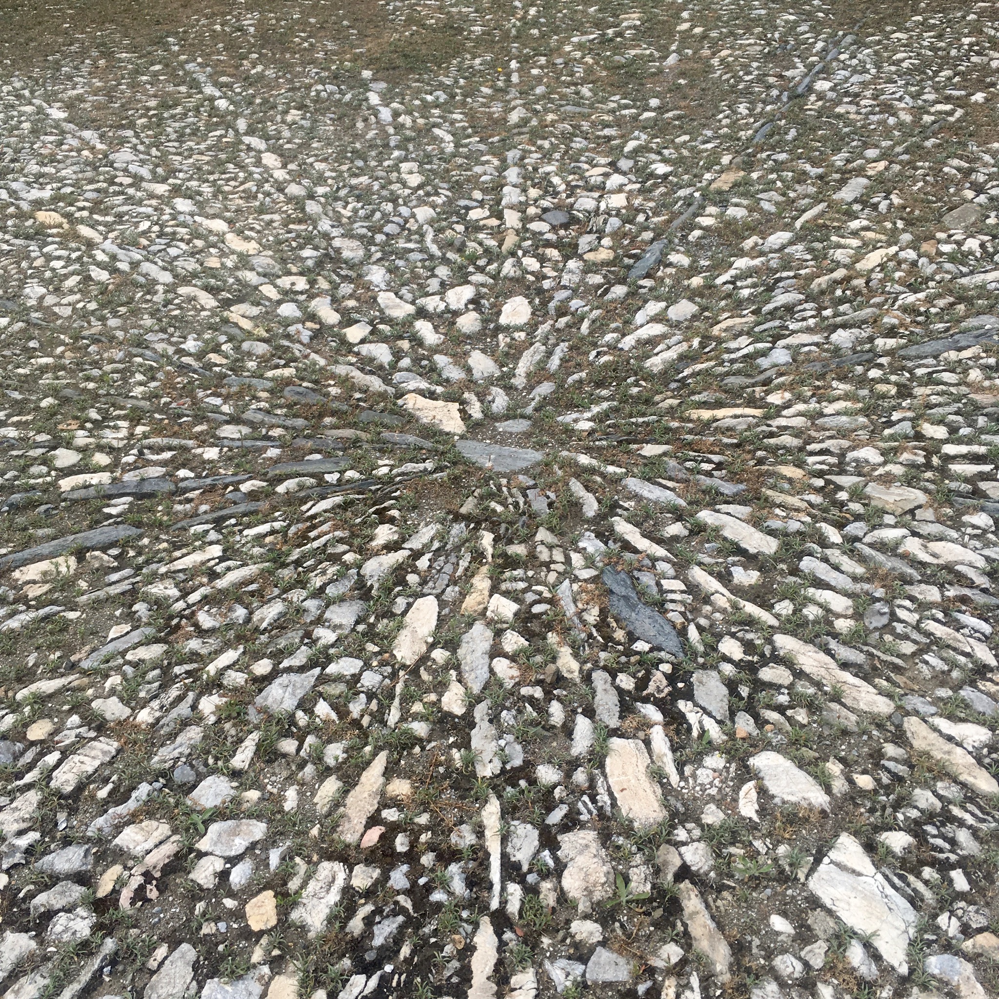
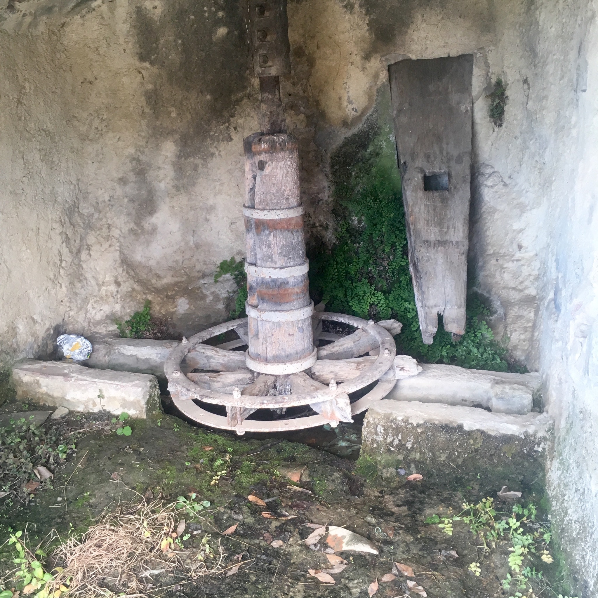
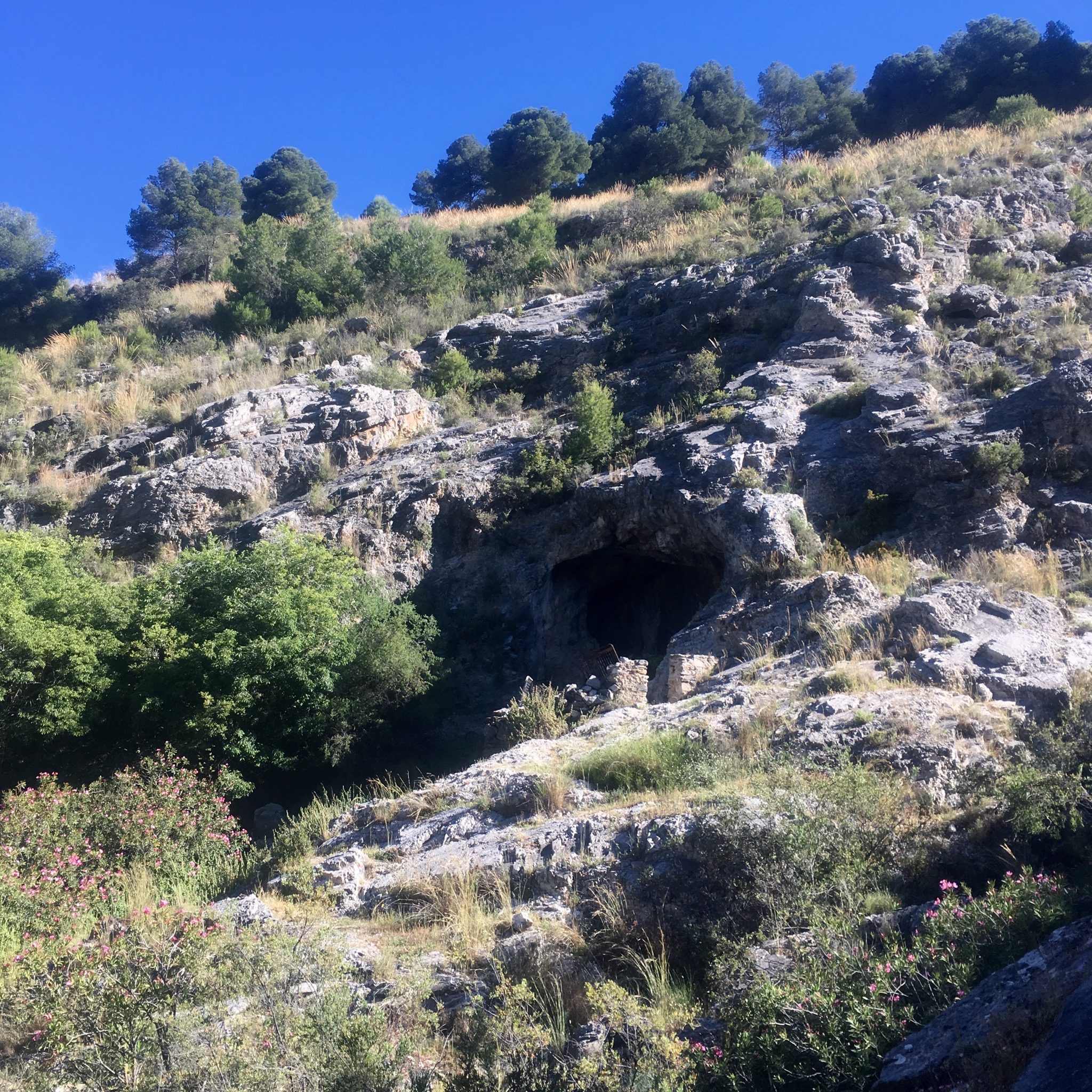
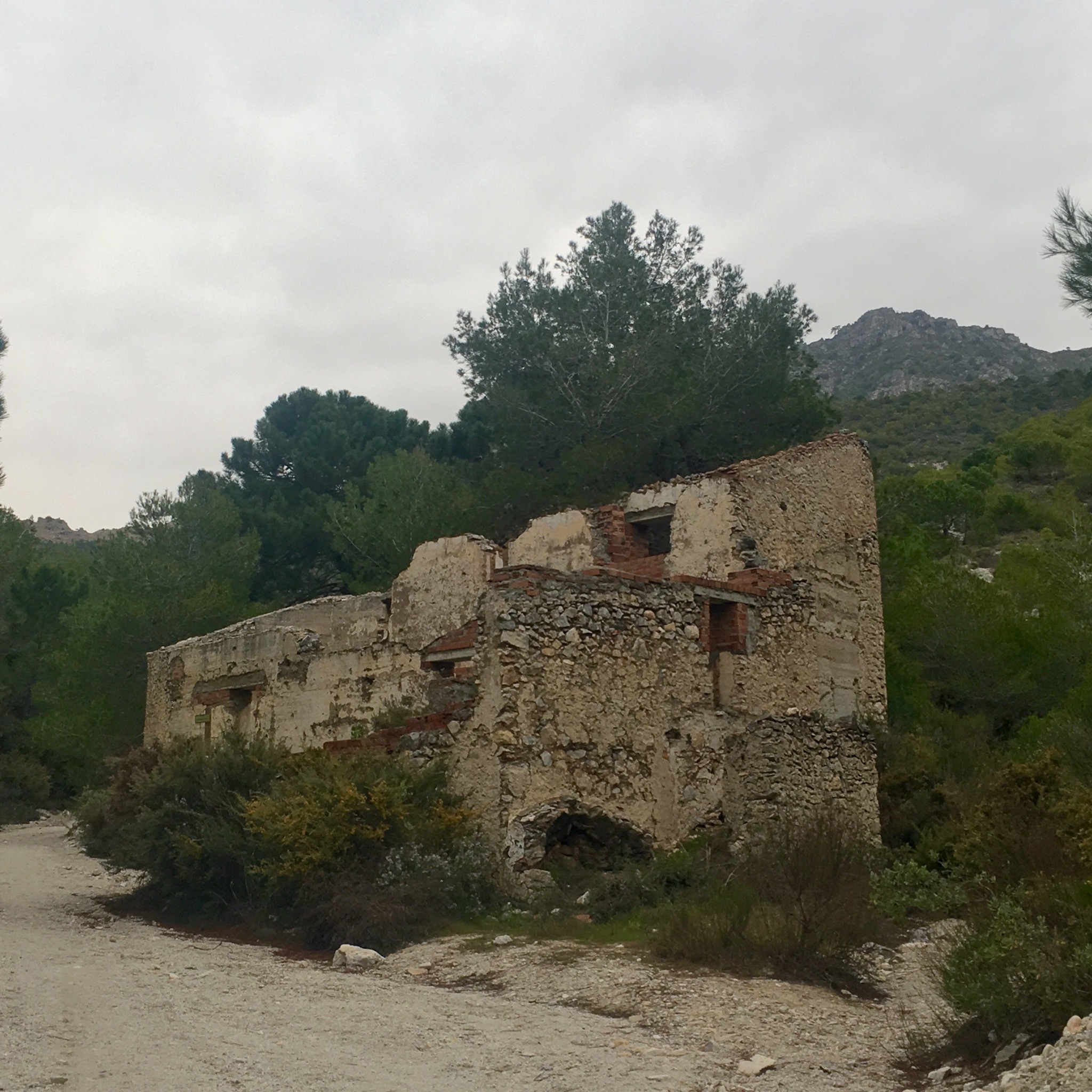
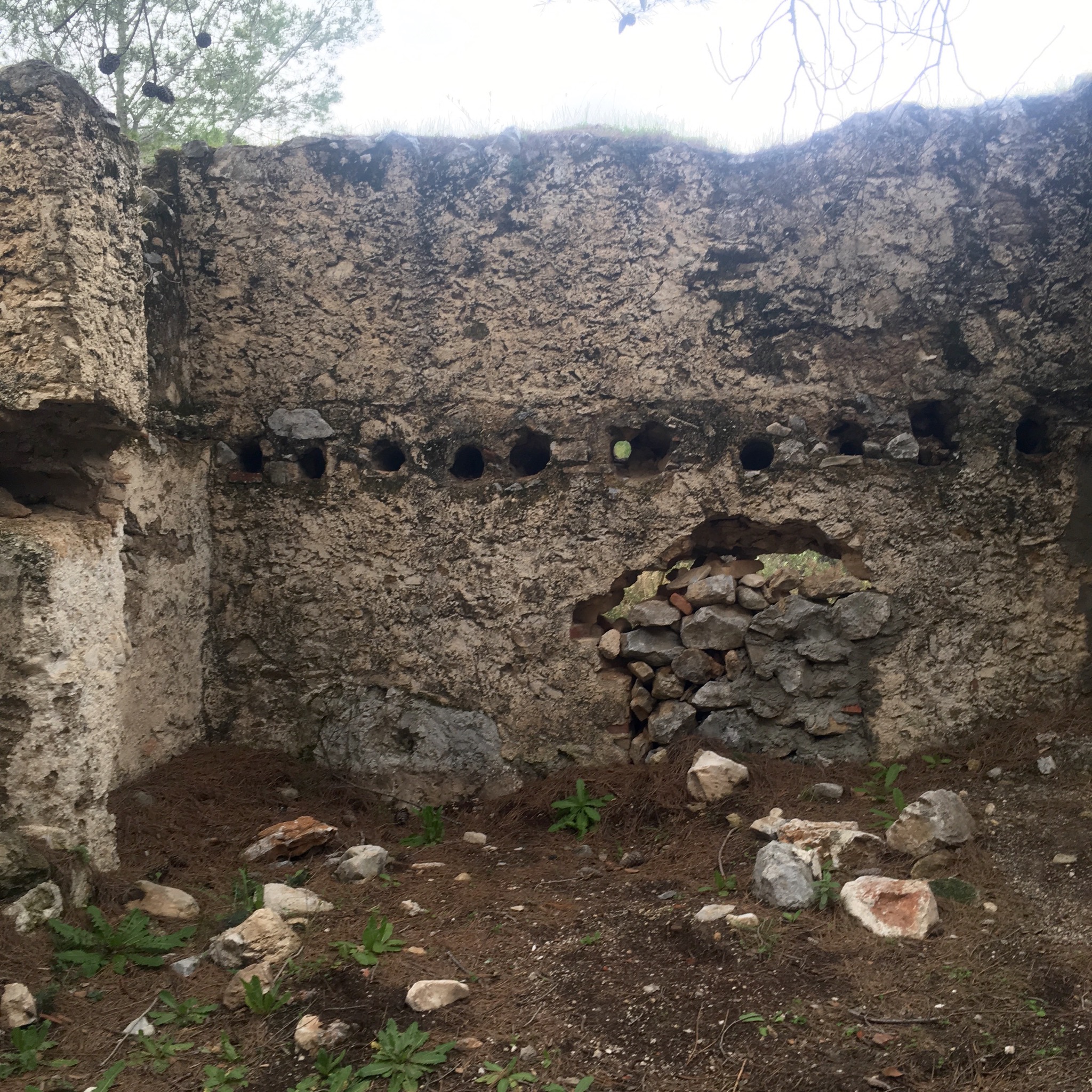
The deep folds and convoluted ravines we crossed showed signs of former lives with ruined buildings clinging to the shaley slopes. There was mining in the past and fine sand was collected from the mixture of eroded gneiss, quartzite, schist and limestone.

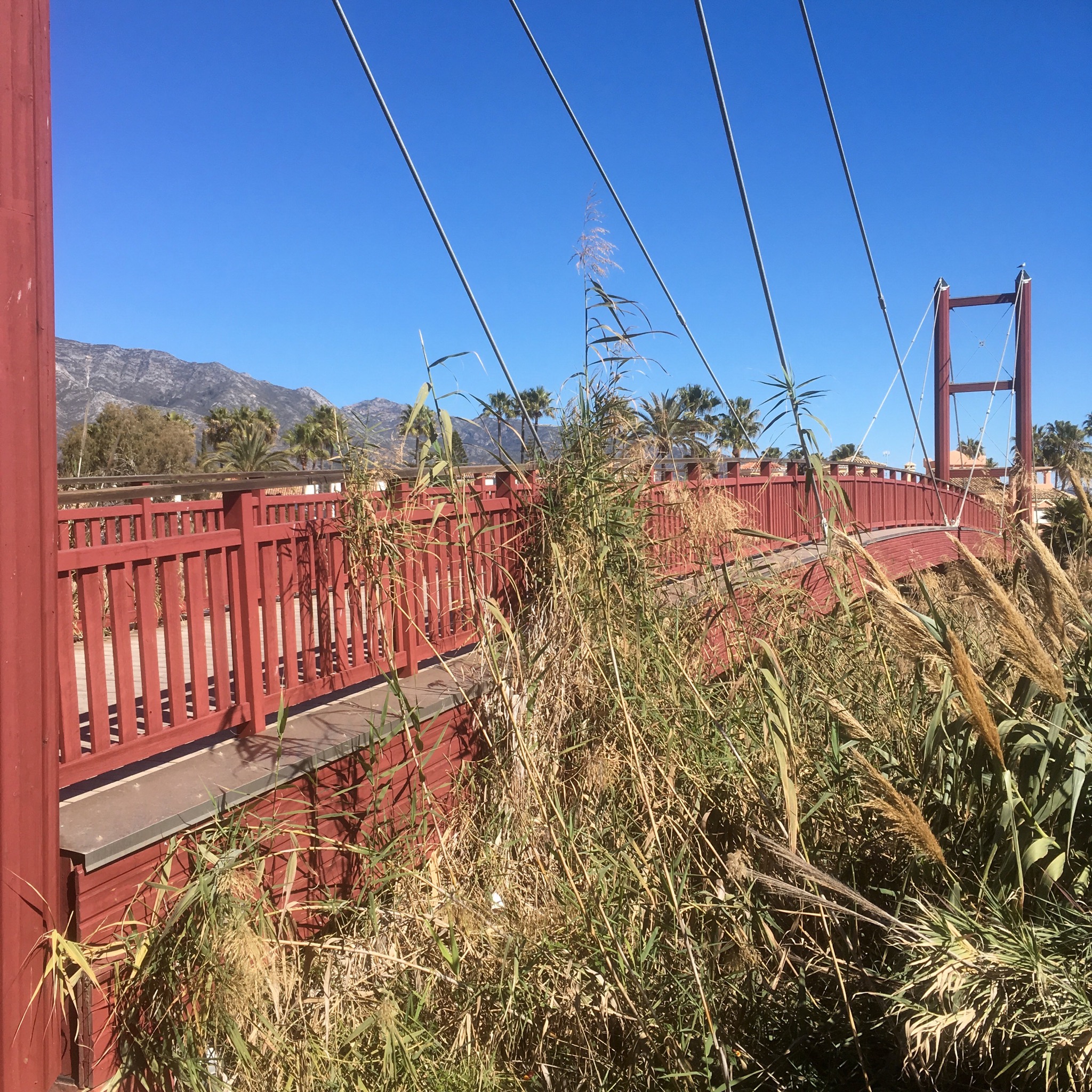
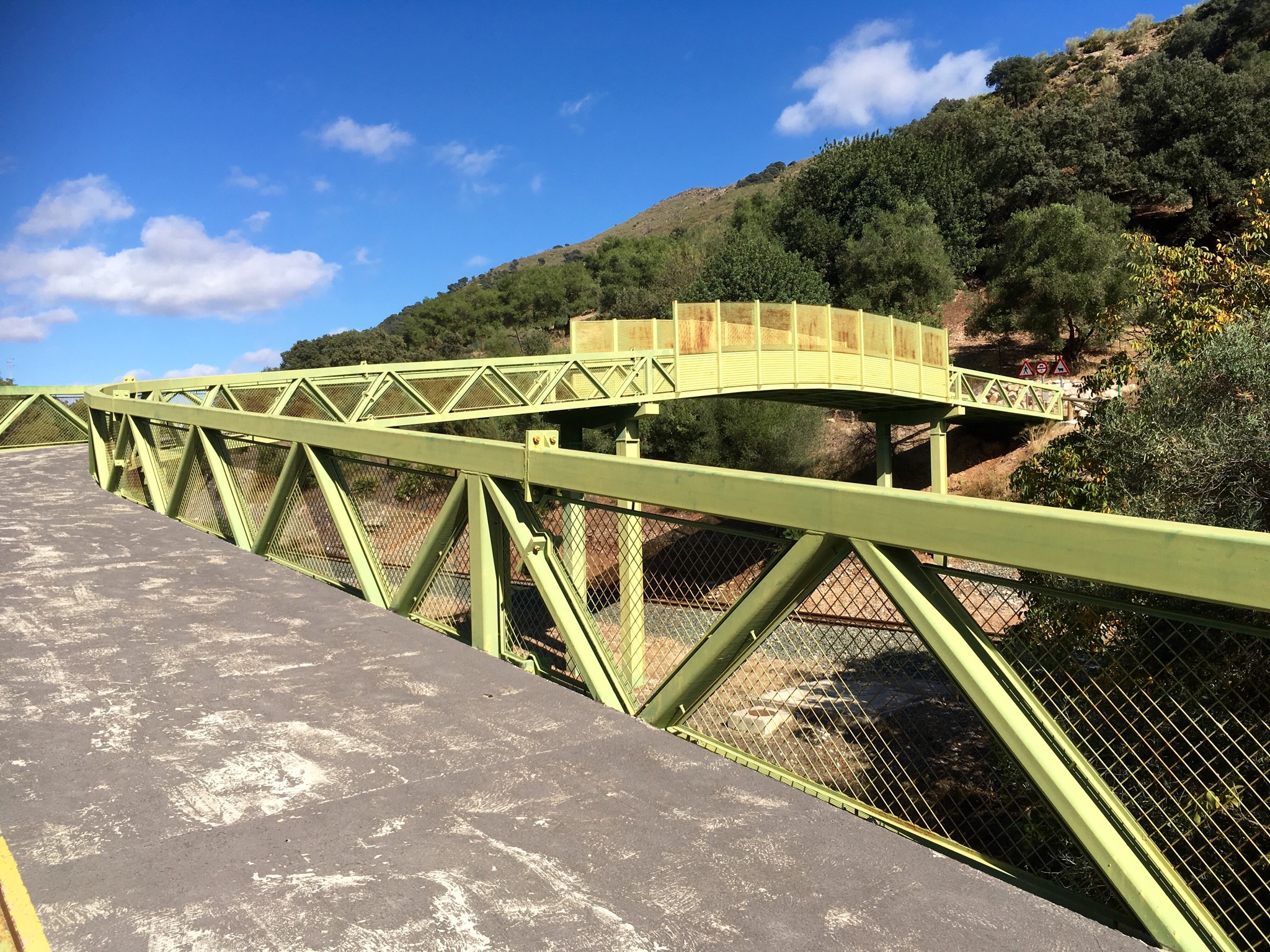
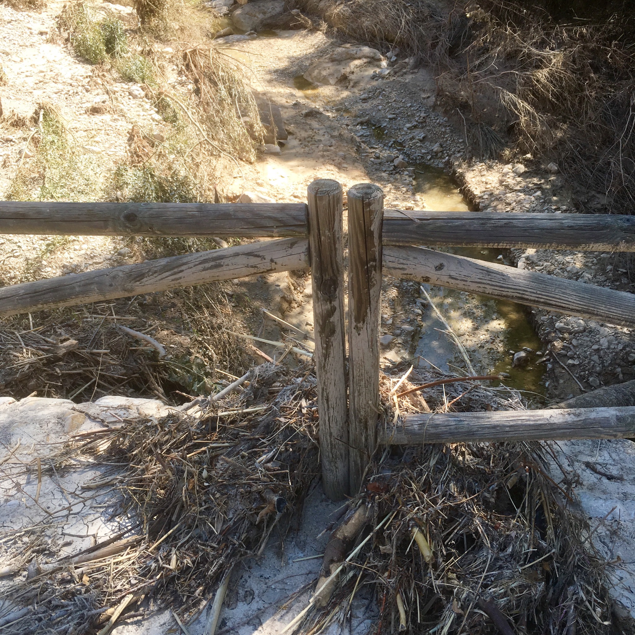
At about 3km in the summit of Maroma came into view and shortly after the suspension bridge below us.

Things got interesting as we negotiated our first fixed steel walkway and signs warned of the dangers of falling. In fact a women had fallen to her death shortly after the trail was opened and you need to keep your wits about you.

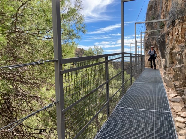
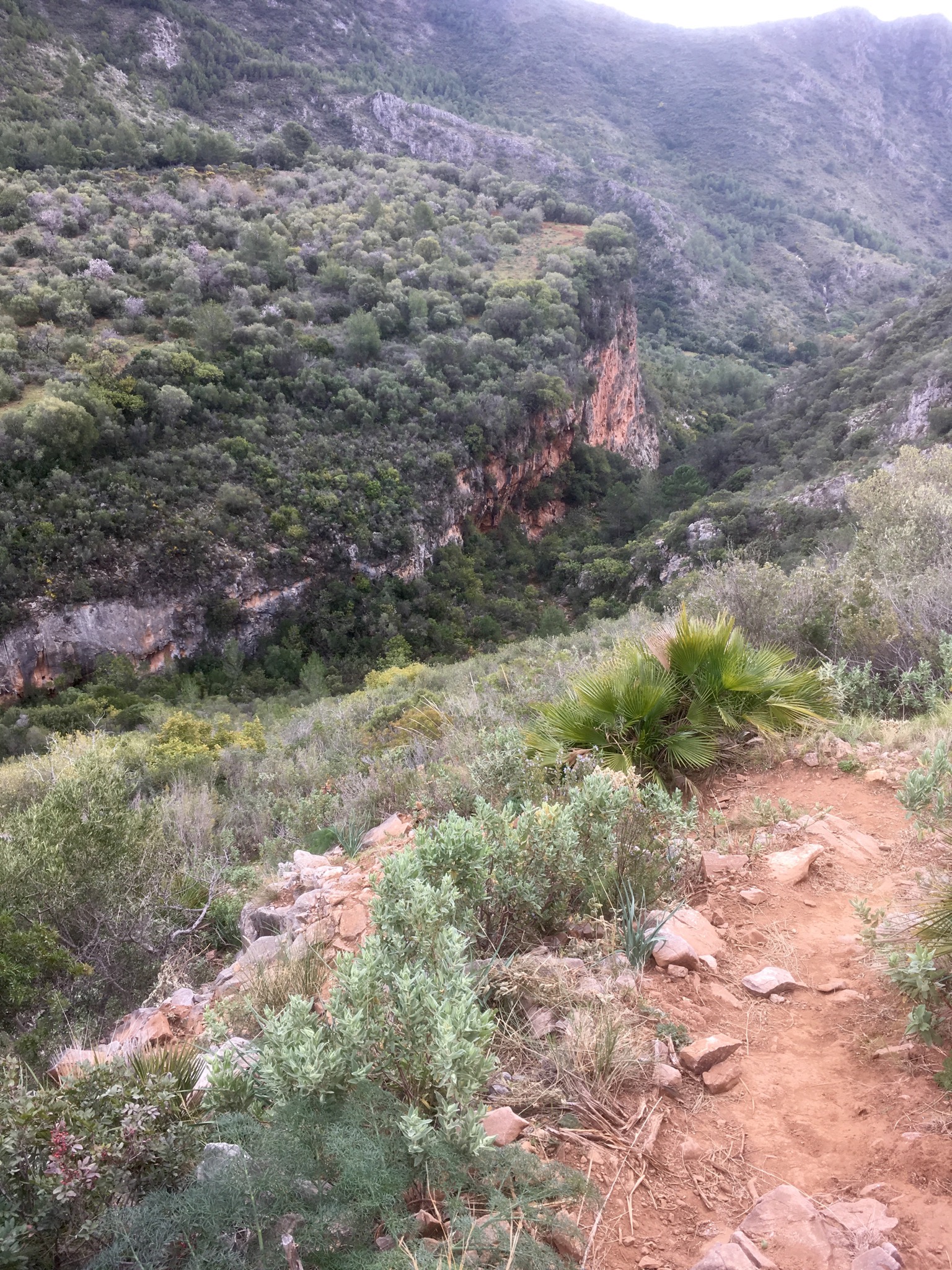
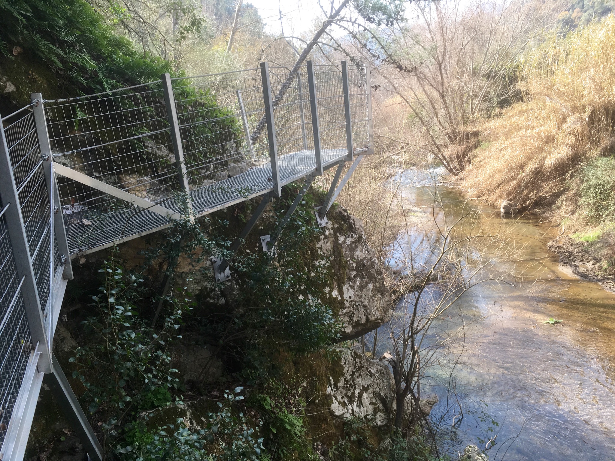
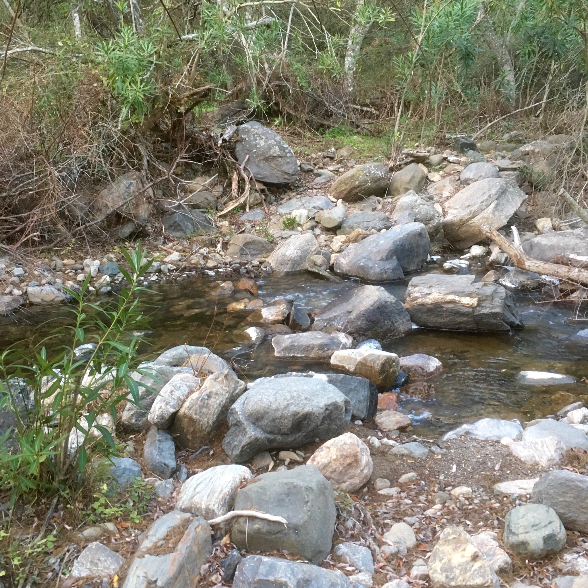
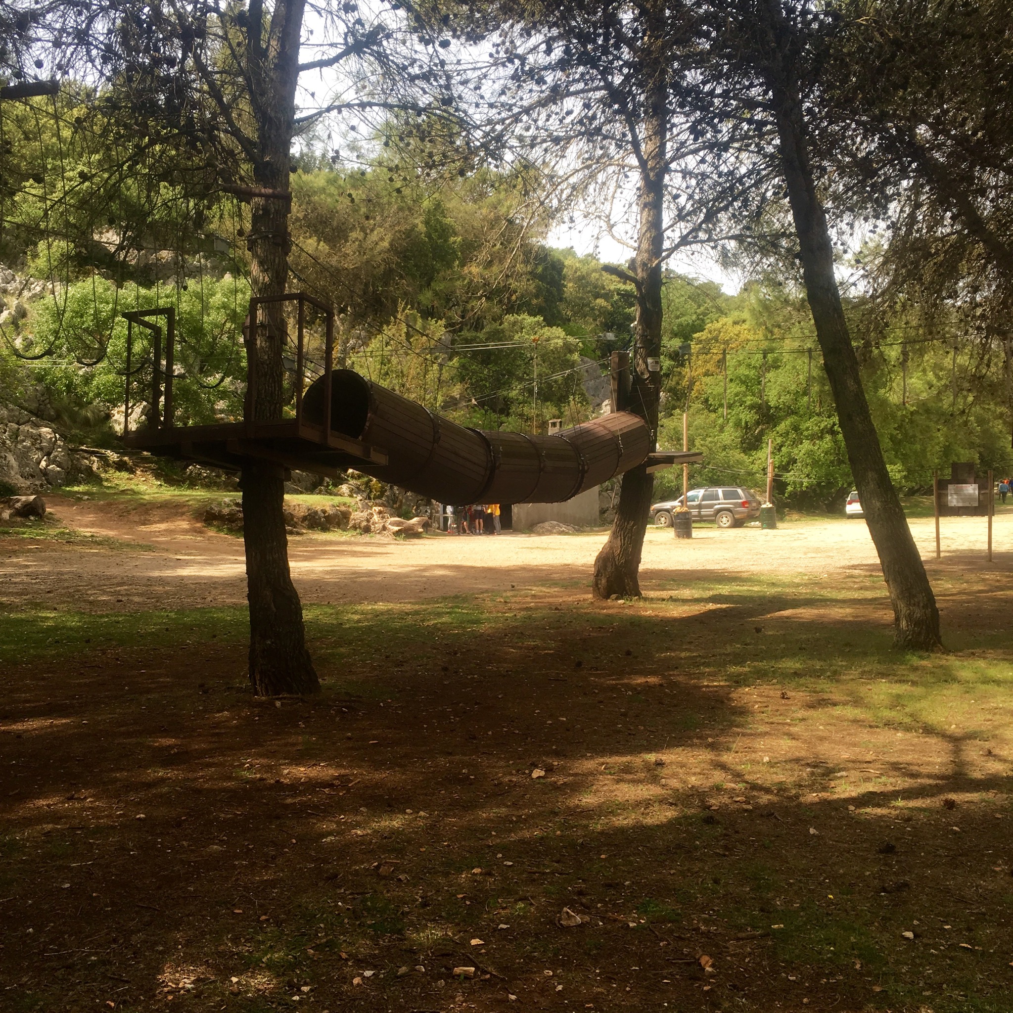
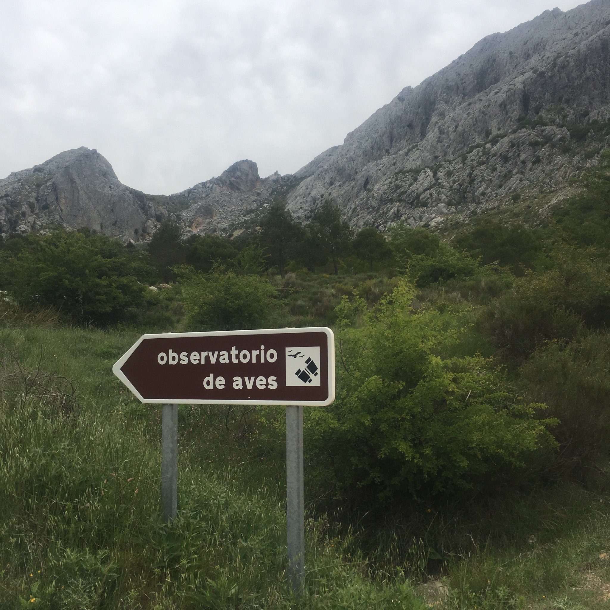
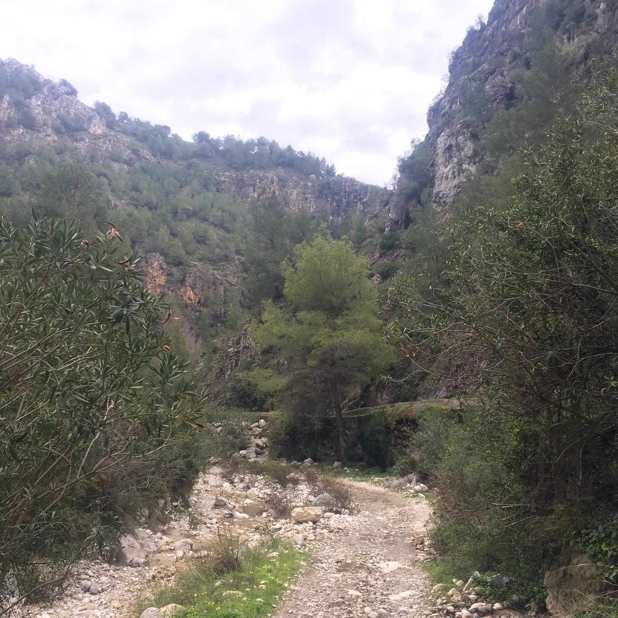
The trail forked, to the left more walkways and a trail led around the mountain to meet the waters of the Rio Almanchares at waterfalls and pools while ours to the right took us steeply down on giant steps through the pines, to cross the ravine 80m above the river.

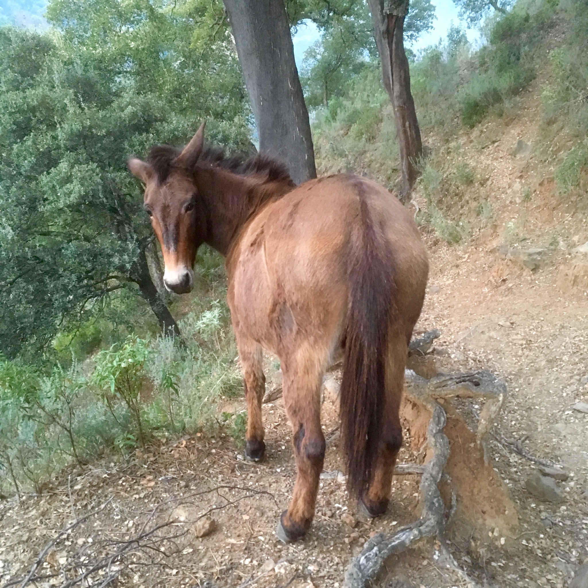
An impressive feat of engineering, the 55m long bridge is Spain’s 3rd longest and involved helicopters, zip wires and mules in its construction.

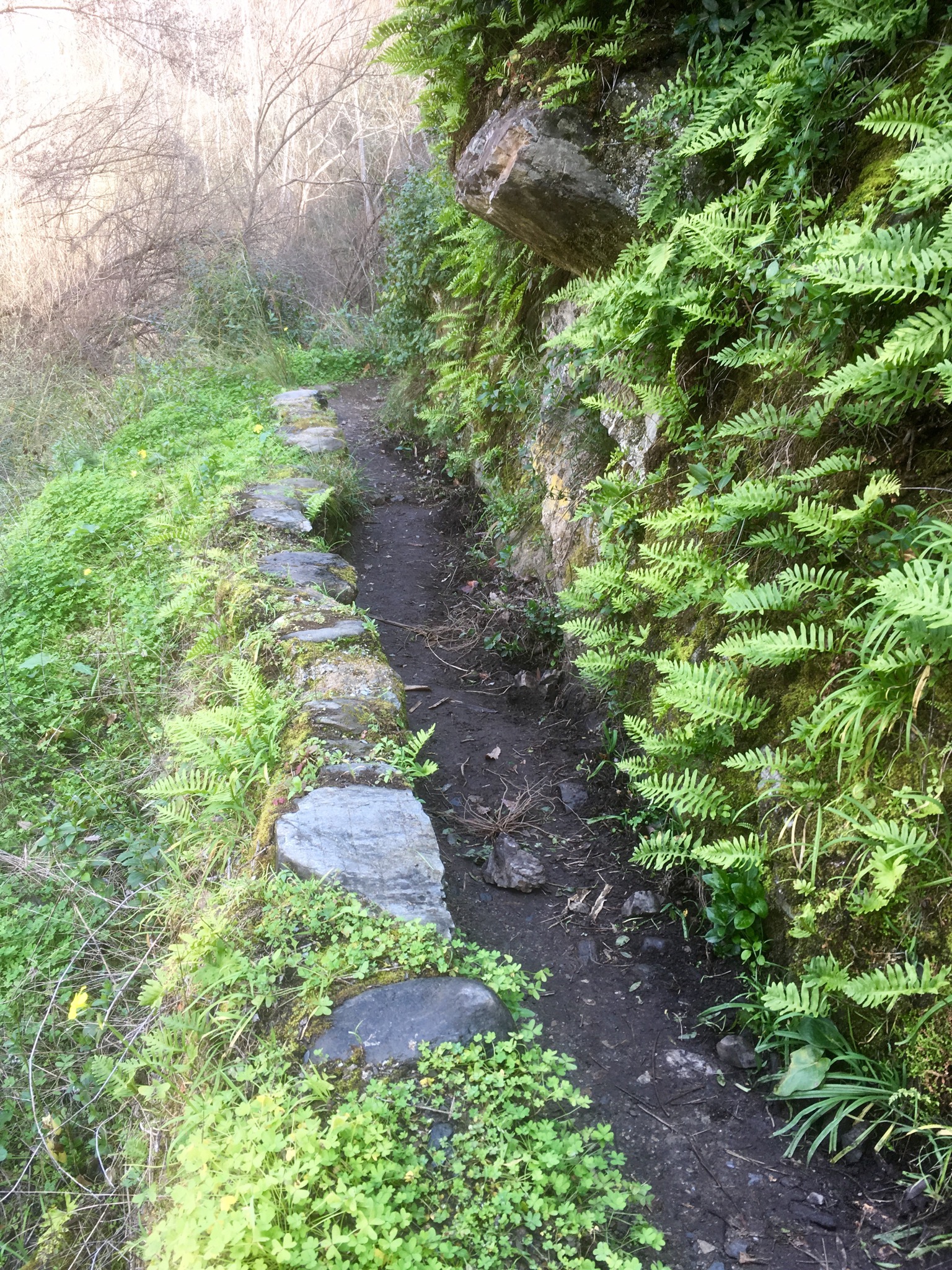
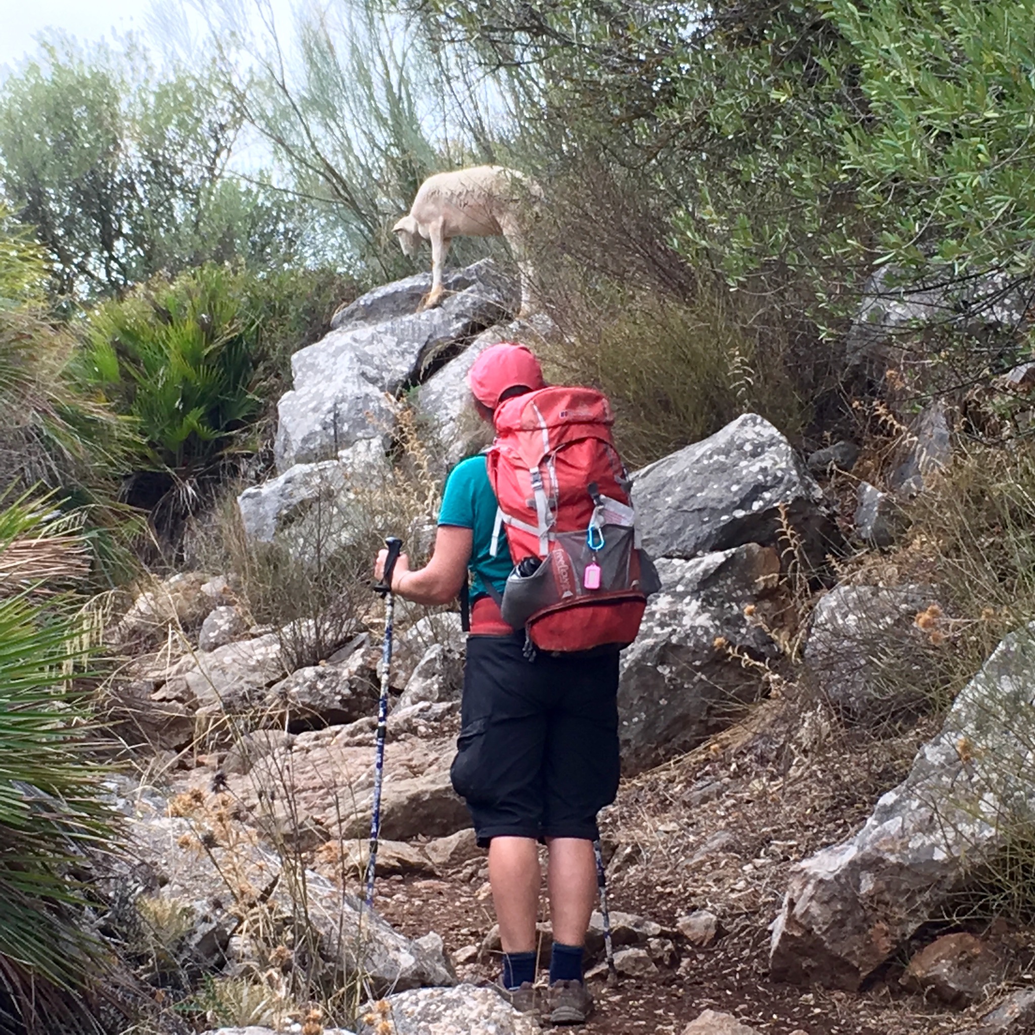
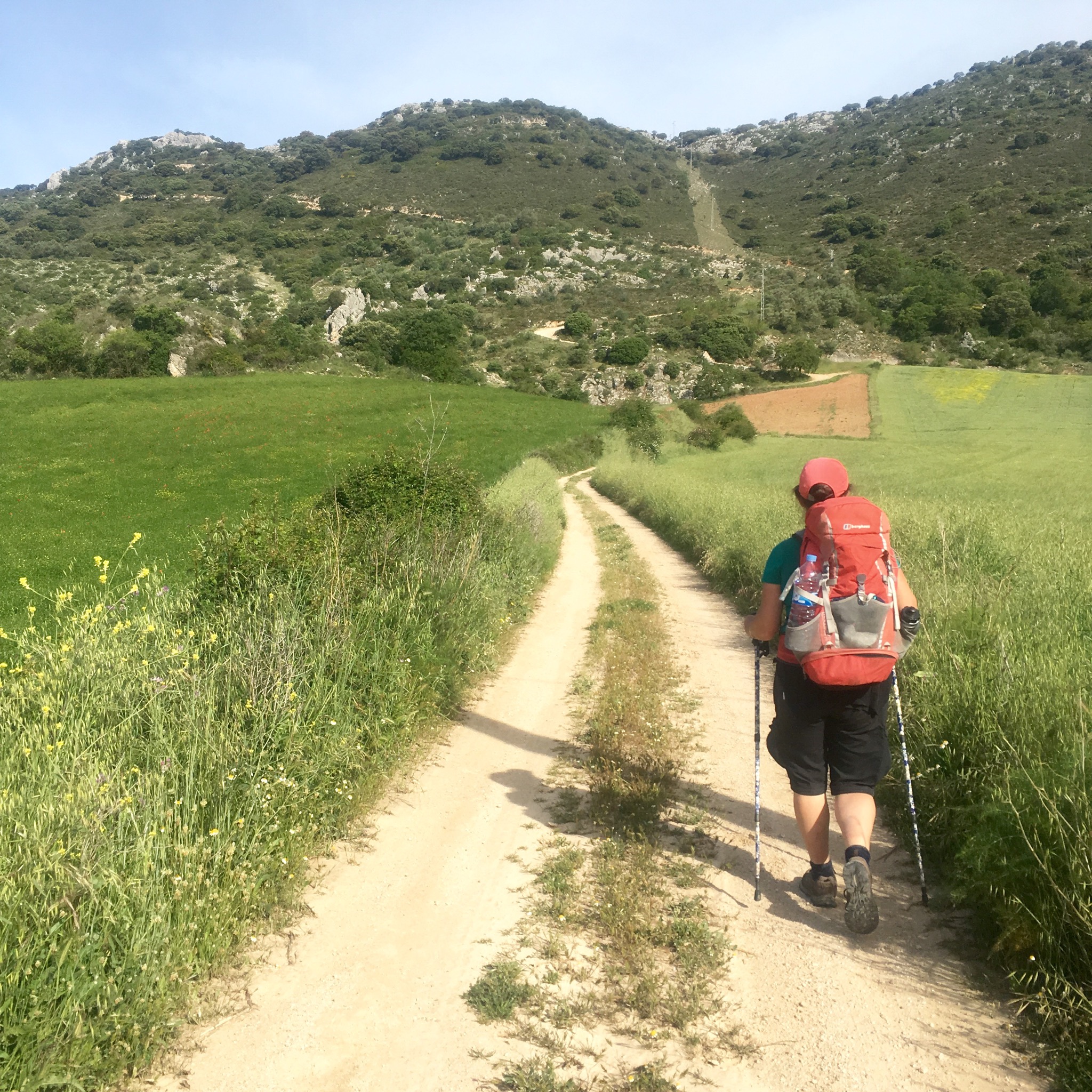
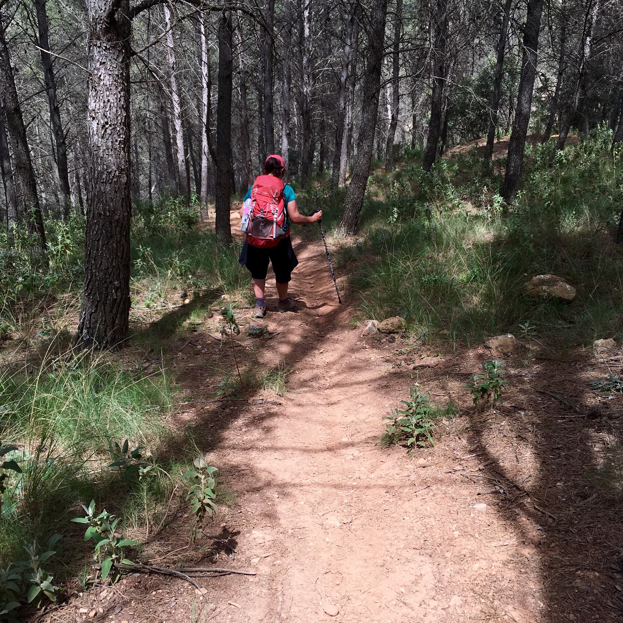
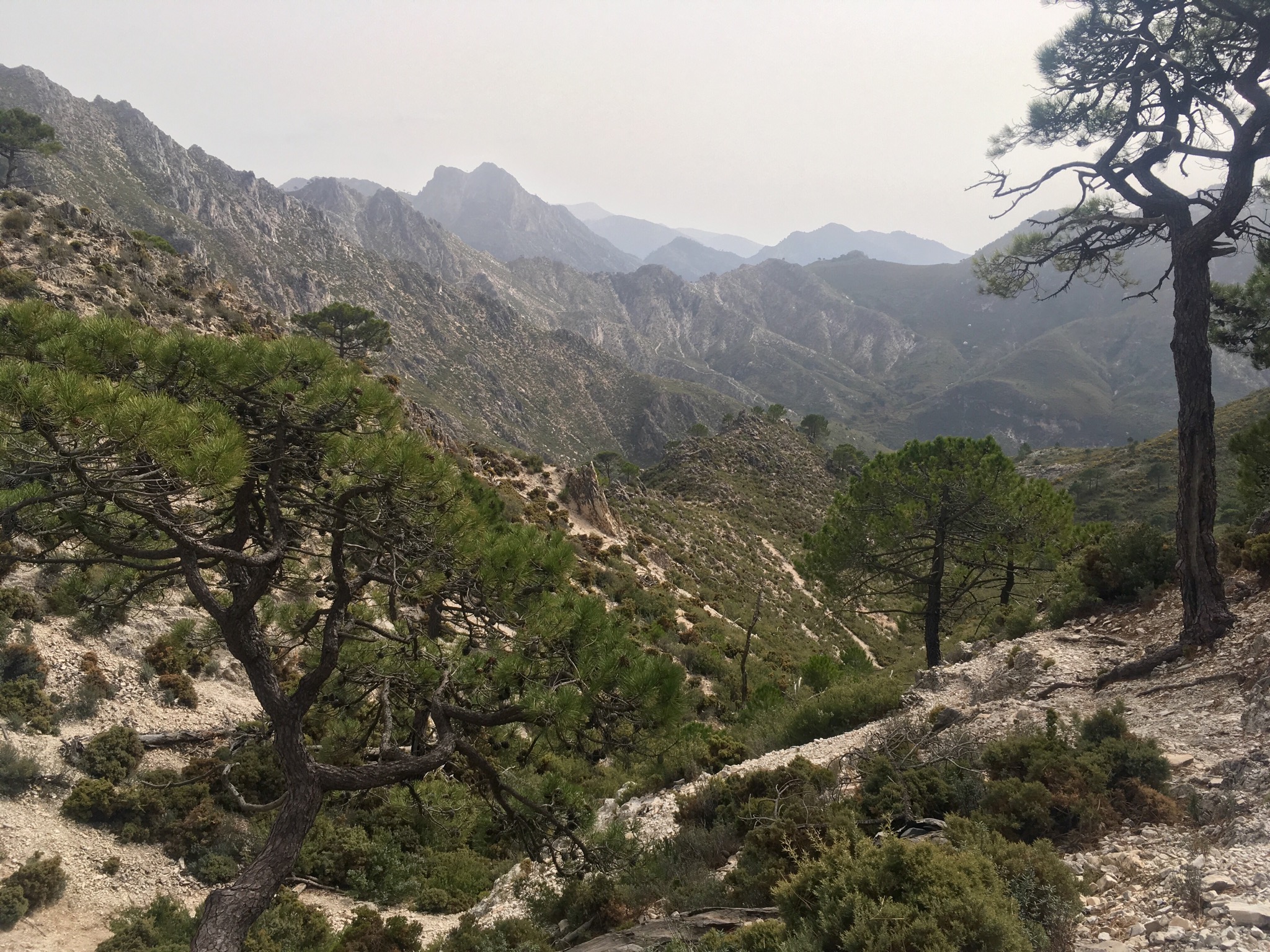
The easy bit was over and as most walkers stopped for snacks before they returned to town we continued up. More giant steps, and chains to cling to started to appear. We had a 300m climb ahead and those without a good head for heights had it tough.

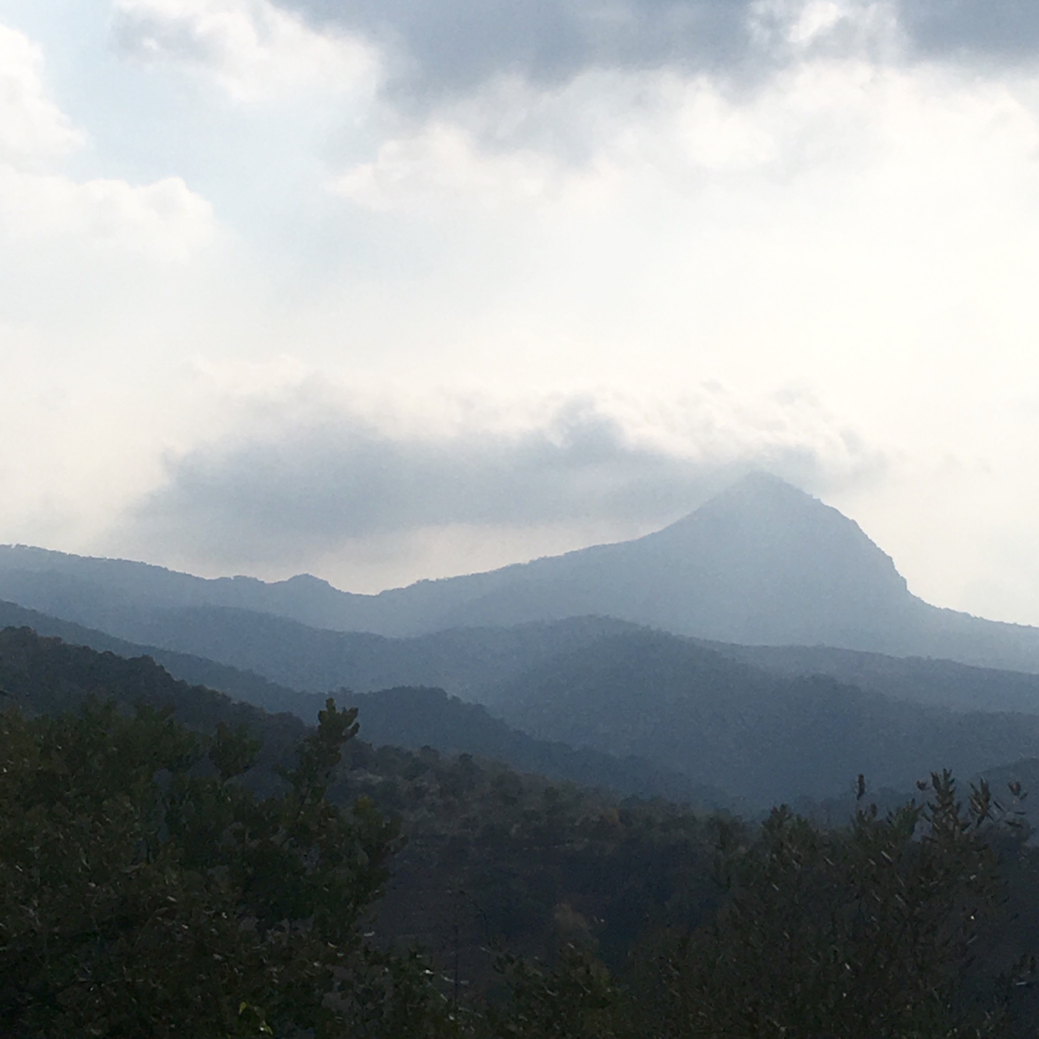
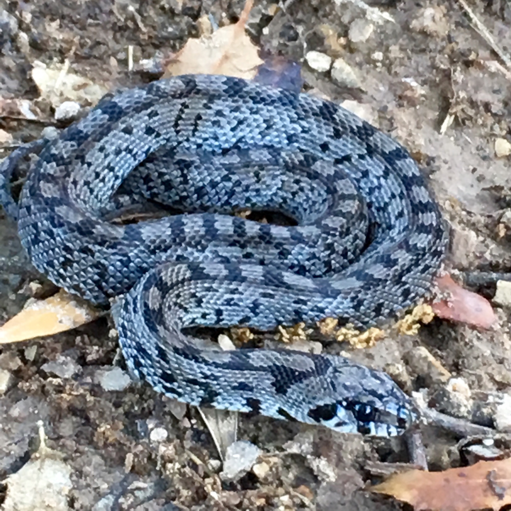
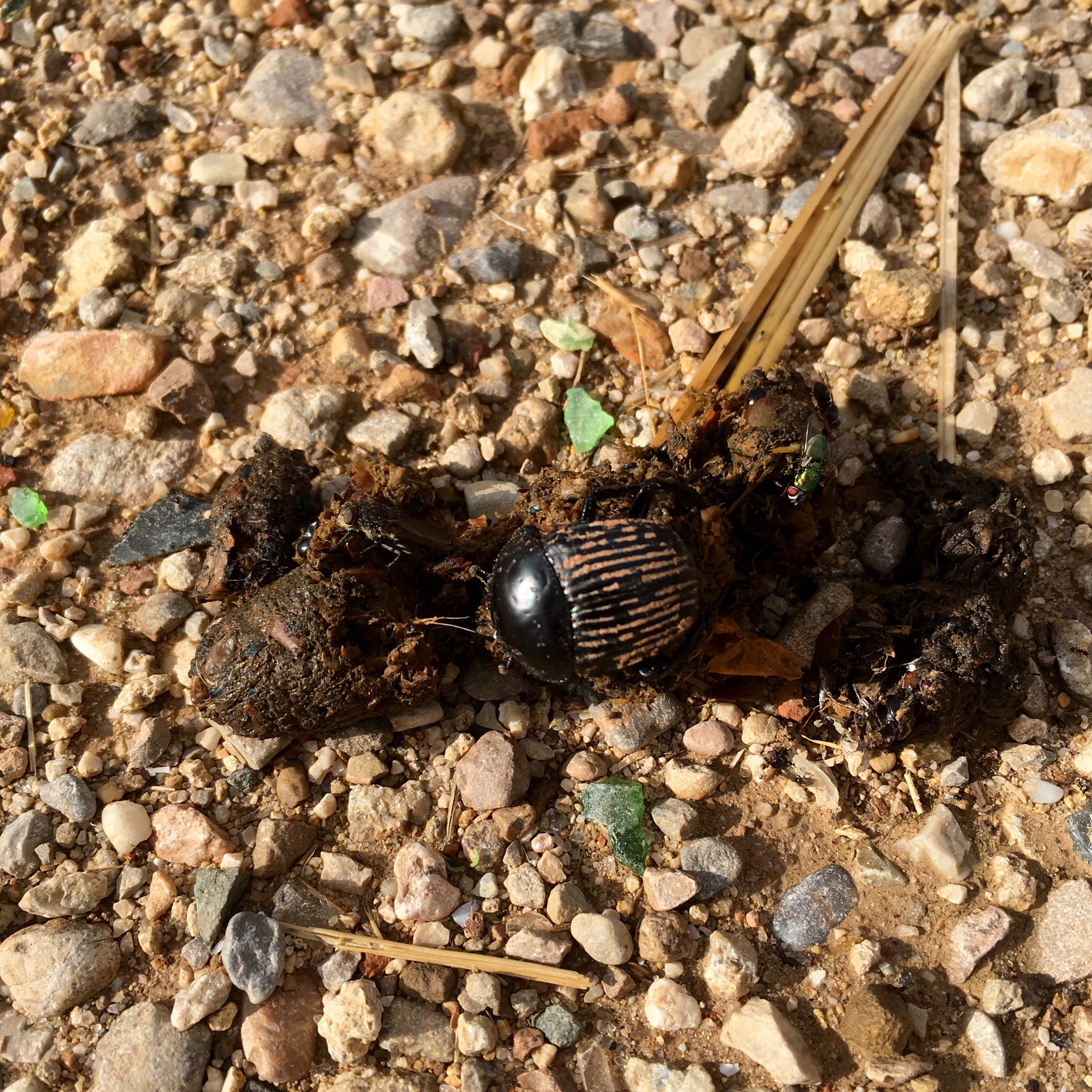
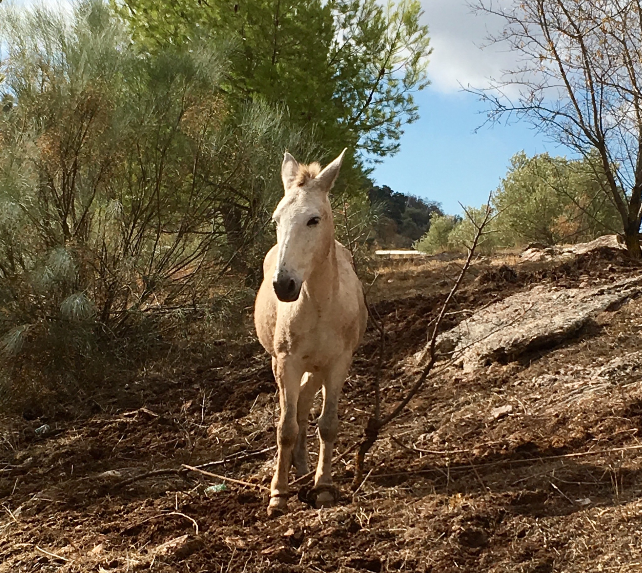
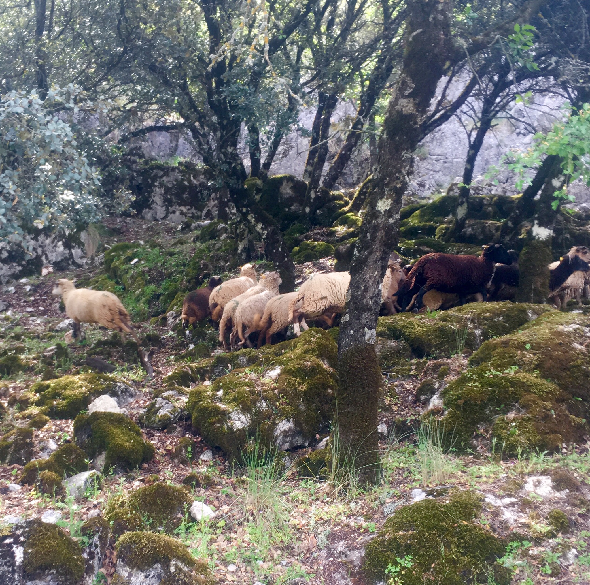
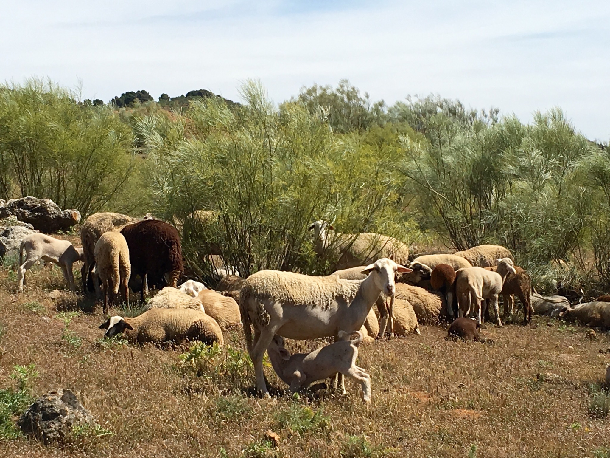
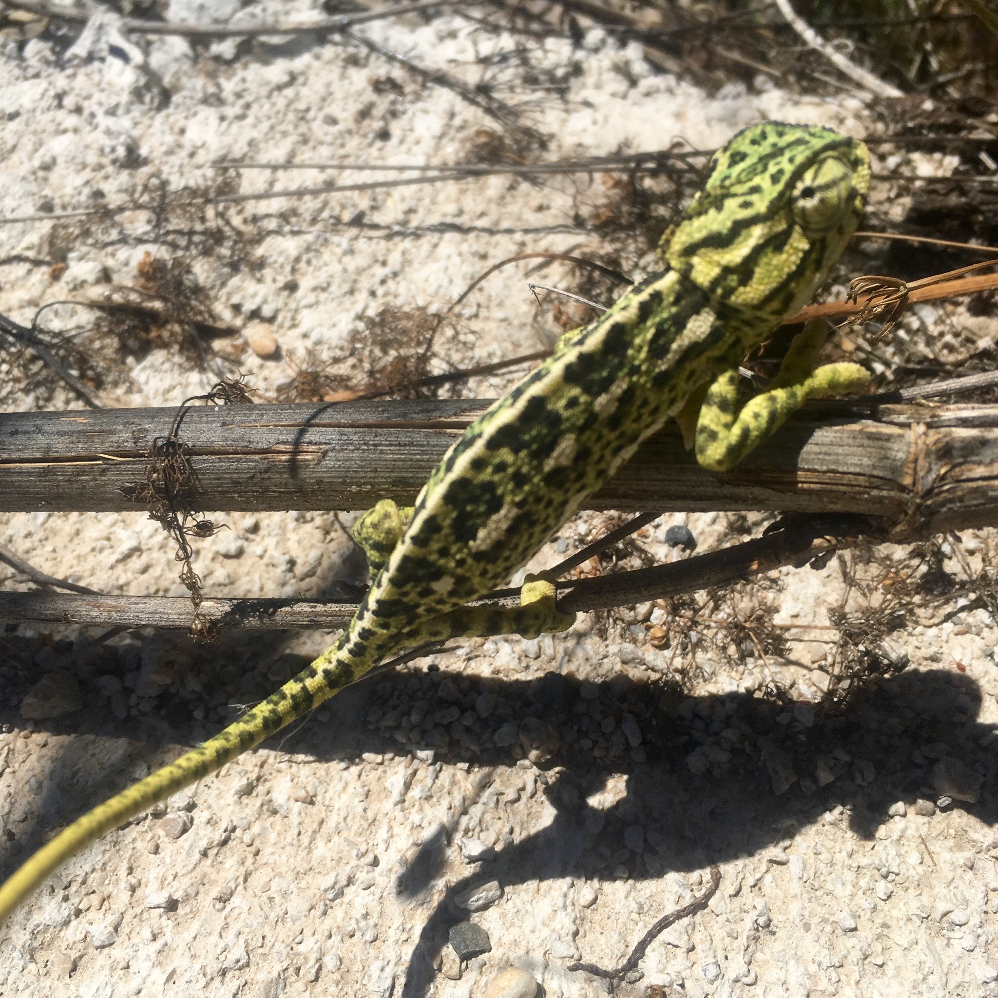
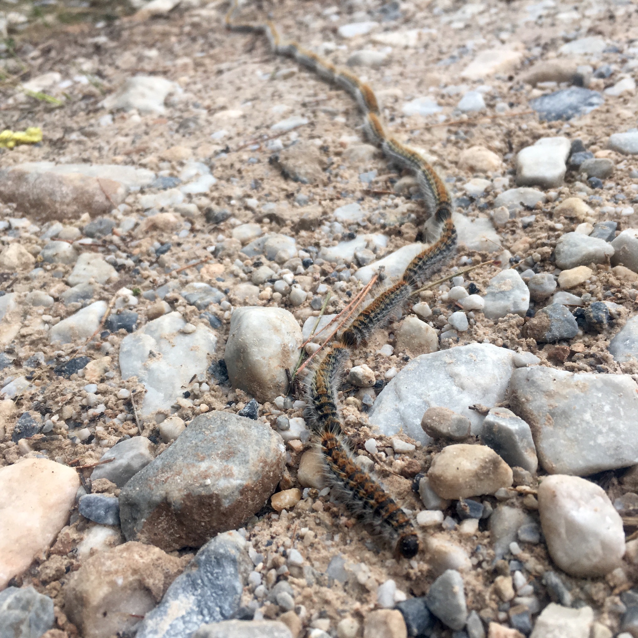
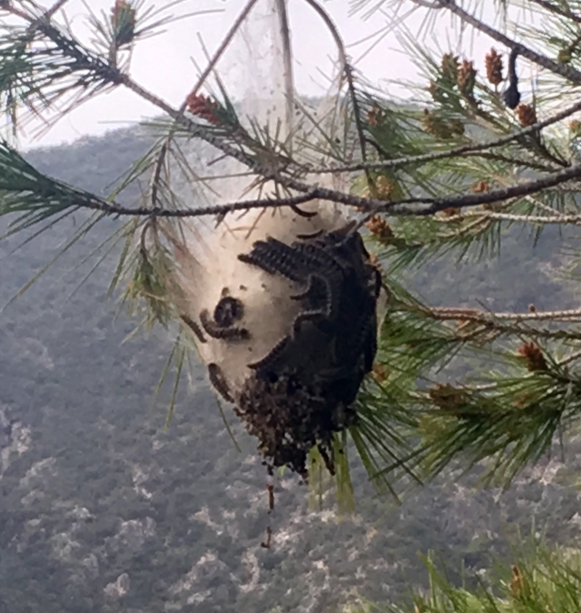
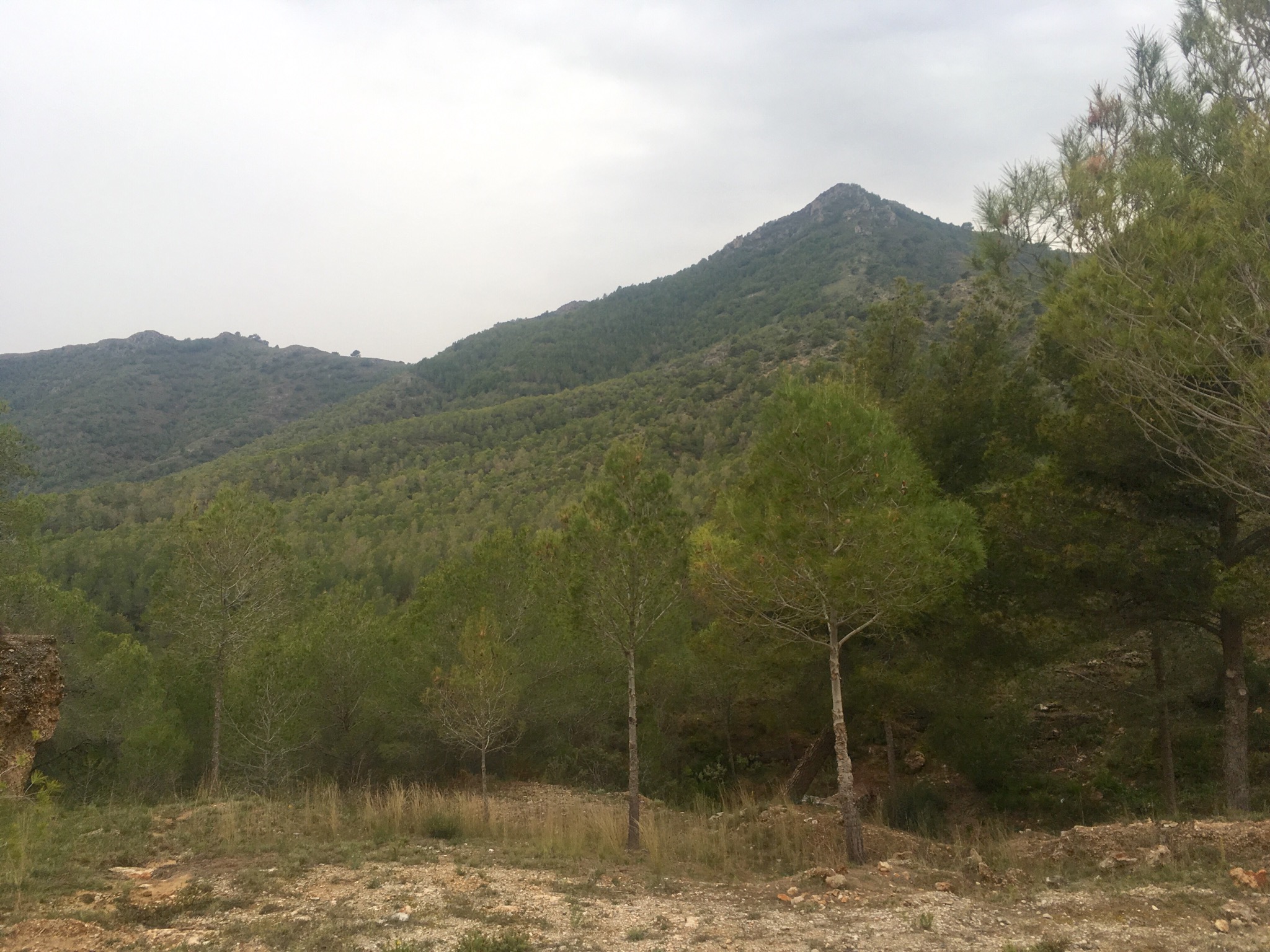
With pounding heart and throbbing legs we reached a more level hill top before continuing on a stony path up through the sparse trees towards Maroma with glorious views south across the peaks to the Mediterranean and the Rif mountains of Morocco. The tell tale signs of snuffling boar were all around and a couple of our party briefly spotted a darting mongoose.

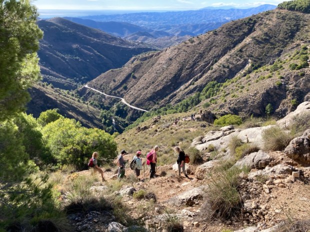
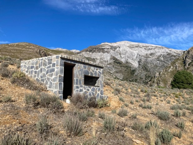
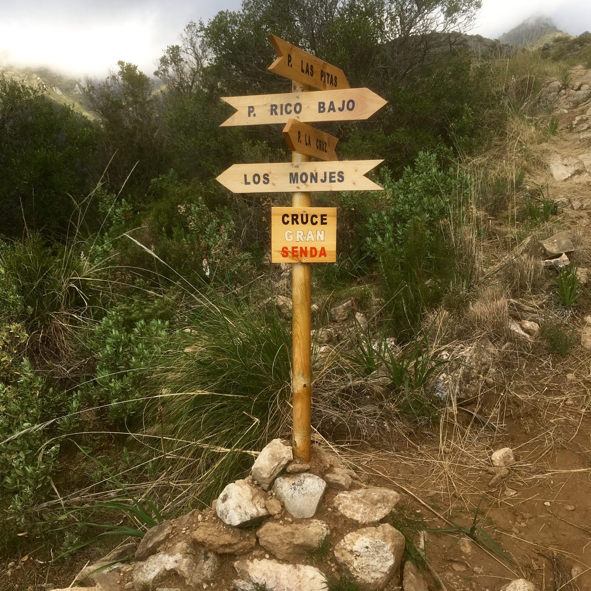
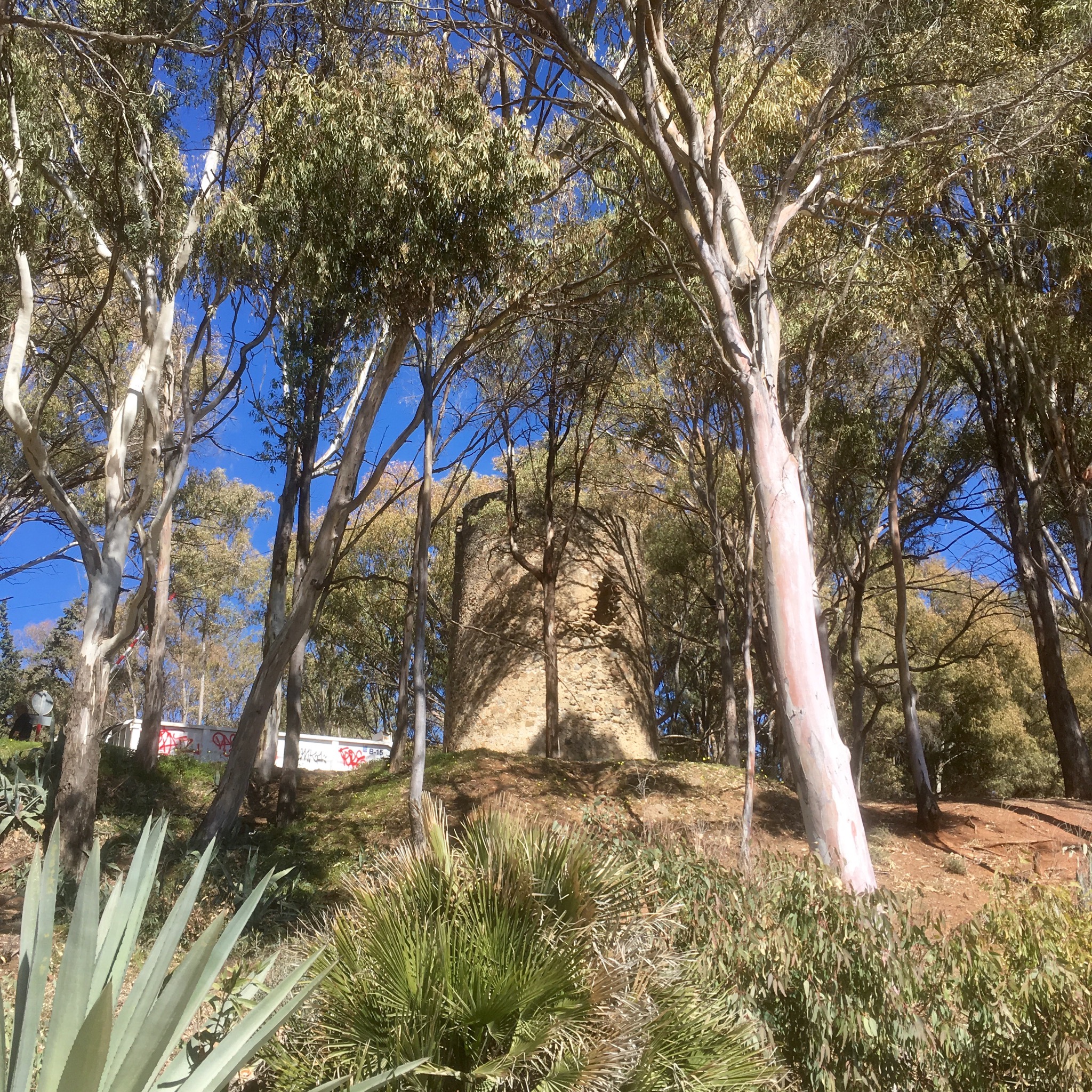
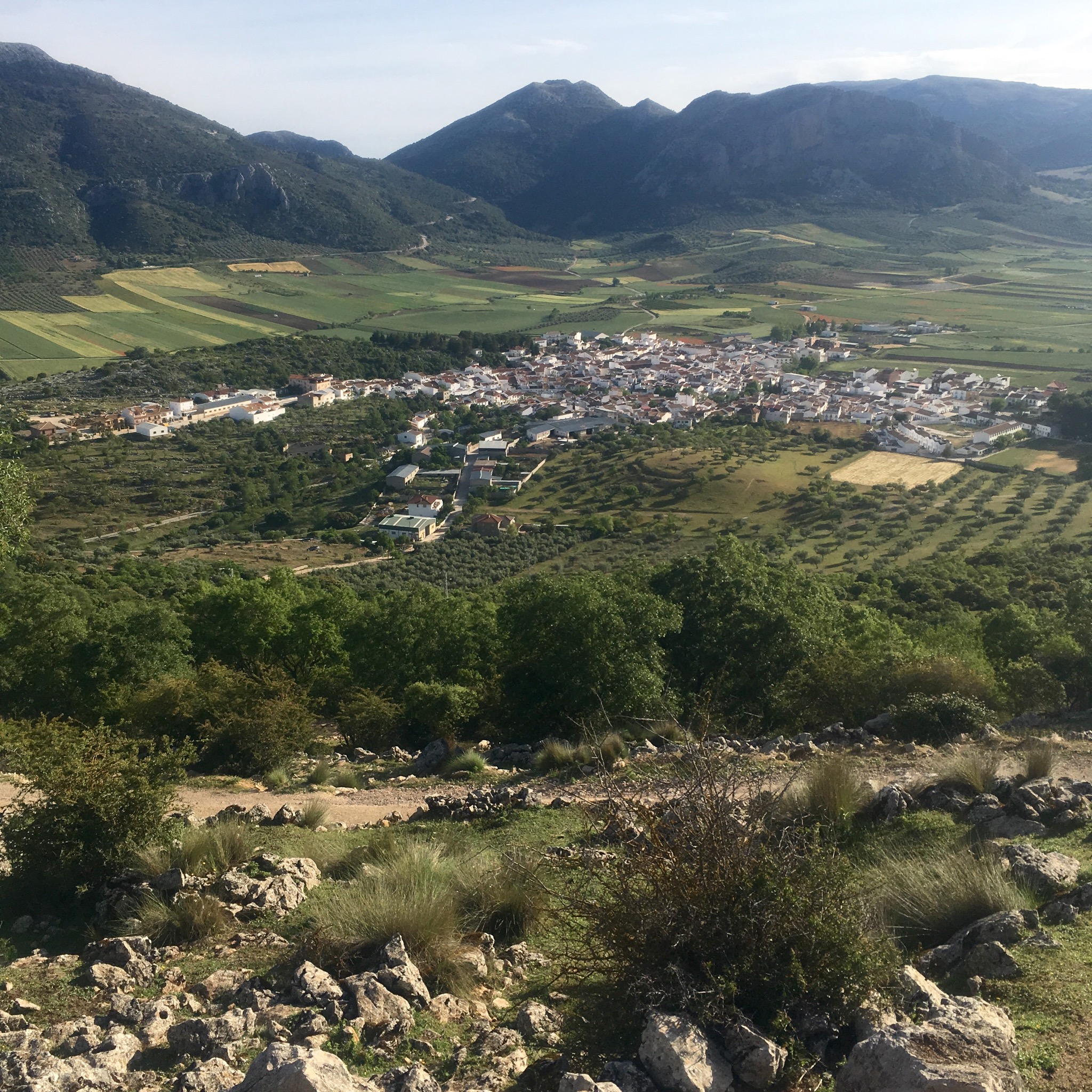
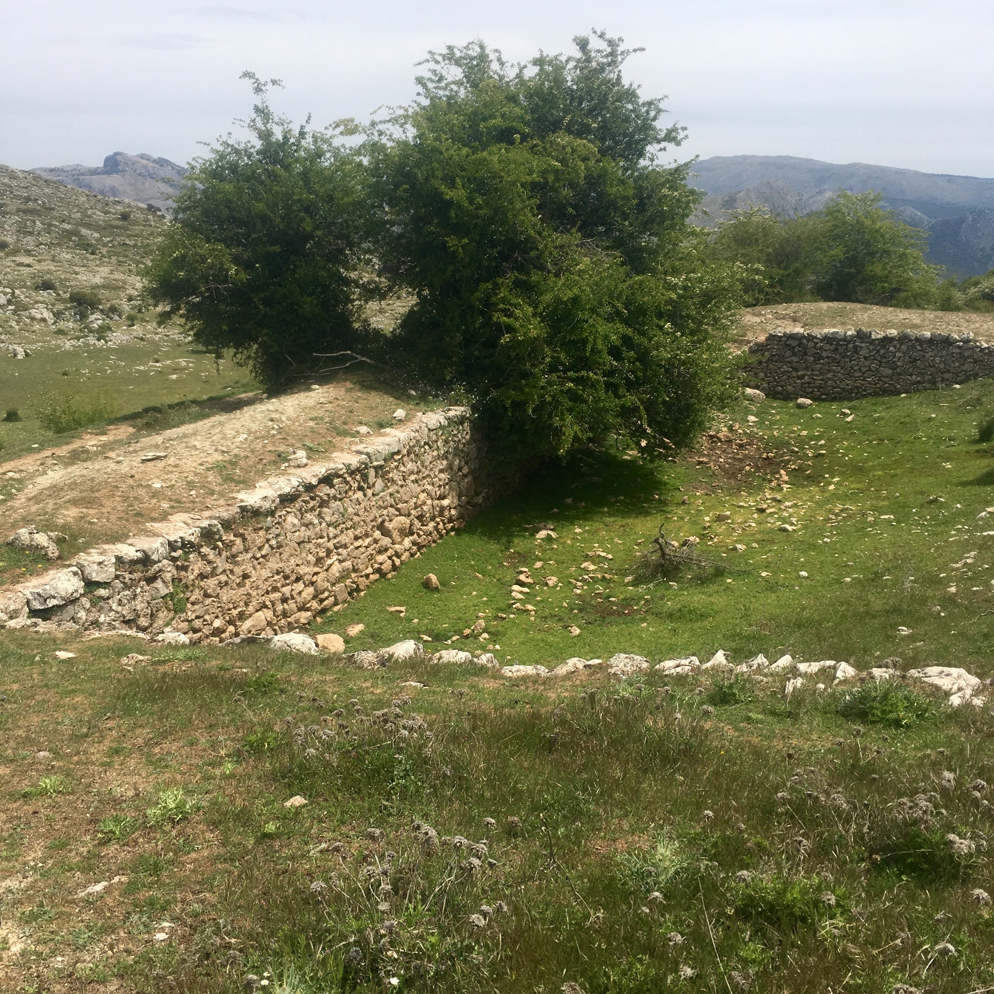
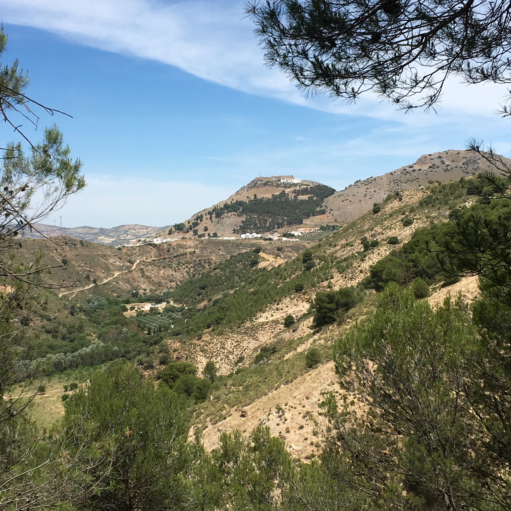
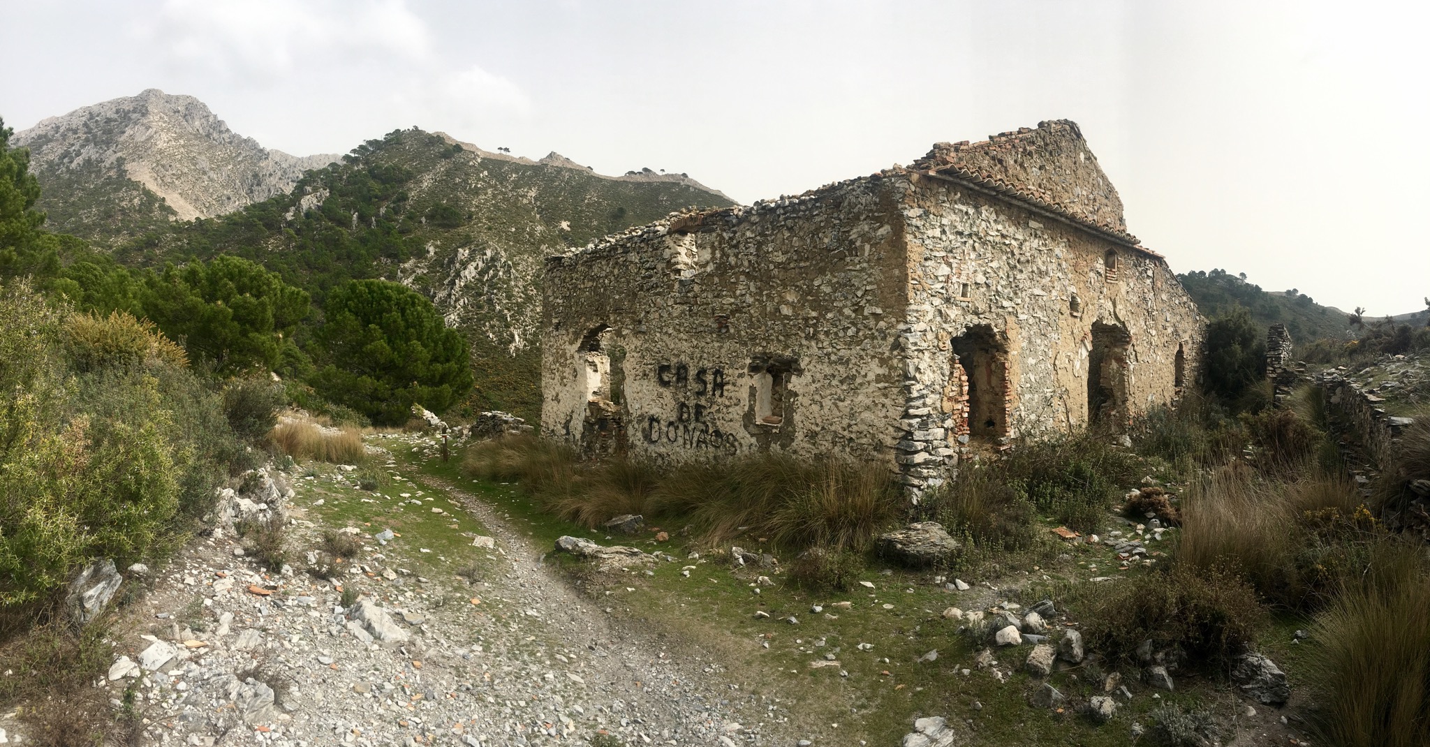
A small stone building of unknown purpose drew us to the top of the rise, over which lay our goal – the mirador, at 980m. This route is now linked to one of the 35 stages of the 750 km Gran Senda de Malaga, the GR249, a wild and wonderful trek I completed a few years ago and now attracting 2 million people a year to take on sections.

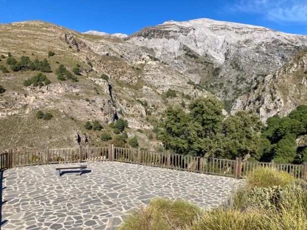
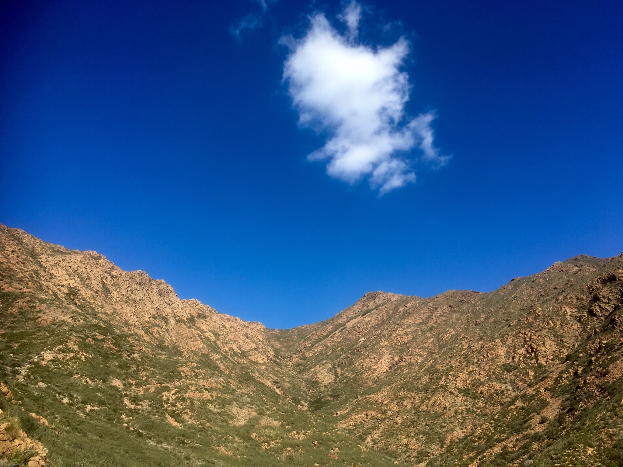
The expansive flagstone floor only had one, very welcome, bench to rest our weary limbs on as we soaked in the breathtaking vista of the fine fluted cliffs on the southern flank of Maroma, still high above us. The stunning views were a just reward for the effort put in to reach them, and just as good on our way back.

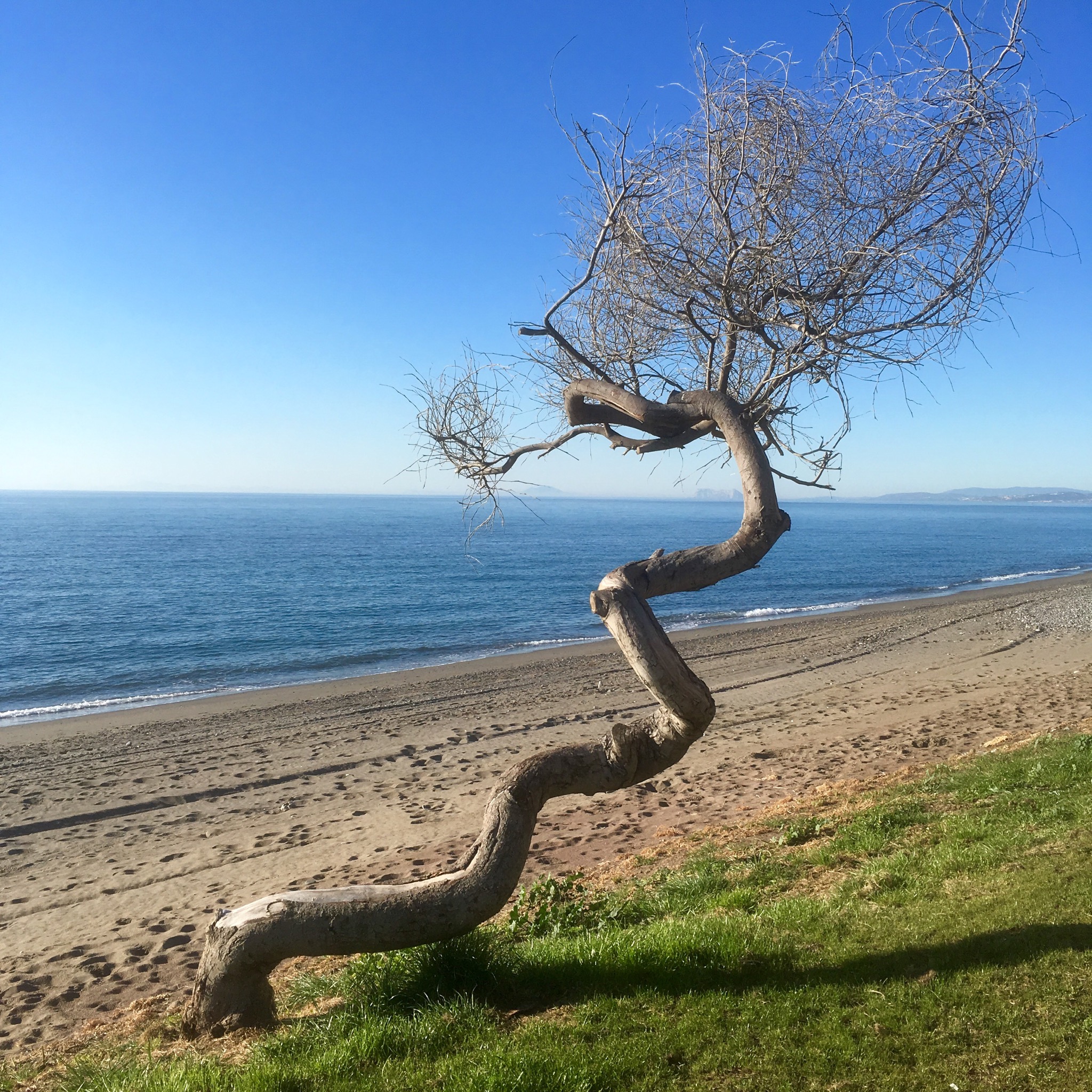
A great day out on a stunning route under a blue sky accompanied by the sounds of water, the scents of pine and thyme and the taste of adventure.

GRAN SENDA de MALAGA: GR249.22/23nd Feb. Marbella to Ojen (and beyond) 28km to Entrerrios (and beyond) 25km

Huge contrasts in the last two days on the trail. Starting off in the swank environs of Marbella with ultra luxury all around I passed through scorched desolation which primitive off grid fincas scattered about to end in a mixed zone with a bit of both cheek by jowl.
Big contrasts in the ease of hike as well with the first day full of hard scrambling over an up and down narrow path through a jumble of rocks and the second entirely consisting of wide graded tracks and Tarmac road.
But first I had to escape the villas. Maybe the local council didn’t want to encourage walkers or found the route marking red and white stripes distasteful but I couldn’t find any and so got lost for awhile adding a couple of Kms. No matter, I thought, as my info gave a time of 4 hours to Ojen. It took me a lot more.
Starting up the road past villas grand and abandoned I pondered on the effect of the famous Marbella planning corruption.

IMG_8123.JPG
There were derelict sites and half finished builds and smashed up mansions beside the most desirable homes you could buy. If you had the necessary millions.

IMG_8135.JPG

IMG_8138.JPG

IMG_8151.JPG

IMG_8152.JPG

IMG_8144.JPG
The flags were no longer flying over this planned piece of heaven and the rust had already set in on another.

IMG_8143.JPG

IMG_8156.JPG
But at last, having got back on track, I was off into the woods again and very pleasant they were.

IMG_8169.JPG

IMG_8172.JPG

IMG_8174.JPG
It soon became remarkably wild considering the proximity to the porche and range rover filled roads below. I came upon a large set of hives and getting a bit to close, was chased and stung. There was also a lot of boar rooted up ground and I wonder if they penetrated the villa security to dig up the lawns.

IMG_8175.JPG
This time last year I came across the prosessionary caterpillar and here they were again.

IMG_8178.JPG
It was lovely but the ups and downs were steep and uneven. Slow going, especially when you have to avail of ropes.

IMG_8179.JPG

IMG_8184.JPG

IMG_8187.JPG

IMG_8185.JPG
At one stage I got a strong smell of what I thought was marijuana and when I reached a ruined chapel there was some graffiti that made me wonder.
The local walking association was very good at erecting signs for a lot of different routes into the hills but one sign disturbed me when I got down onto a lovely level tableland with deserted finca.

IMG_8197.JPG

IMG_8194.JPG

IMG_8195.JPG

IMG_8190.JPG
The sea and associated costaization came into view but there were many beautiful flowers to admire.

IMG_8198.JPG

IMG_8204.JPG

IMG_8201.JPG

IMG_8202.JPG
I had crested a range of hills and came down into an area with scattered new houses and a backdrop of the vast area burnt in 2012. 8000 hectares went up and denuded the landscape for miles.

IMG_8205.JPG

IMG_8210.JPG
I was suddenly startled by a huge Alsatian. You never know. But he was friendly enough. More scrambling up and down and finally, as I reached the brow of yet another rise, I saw Ojen.

IMG_8211.JPG

IMG_8214.JPG
Looking so near- but proving so far, as the trail made a huge loop around the rocky hills. A moment of relief at a fine drinking trough and then more clambering until finally…

IMG_8226.JPG

IMG_8227.JPG

IMG_8228.JPG
I stopped briefly at the road side caves and longer at a bar to eat before heading on to find somewhere to camp. I wasn’t too hopeful after the terrain I been through.

IMG_8229.JPG
I wanted to shorten the following days stage if I could so carried on up into the hills again with the light beginning to fade. The surroundings became more desolate from the fire damage and when a friendly old hippy stopped and offered a ride a couple of Km to a place I could camp I jumped right in.
A tiny bit of flat ground beside a river amongst an empty landscape.

IMG_8241.JPG
The eucalyptus trees, designed for fire, were the only trees to survive but people stayed, in the small groups of houses deep in the middle of it all.

IMG_8244.JPG

IMG_8246.JPG

IMG_8245.JPG
I was on fine wide tracks that had been made to service the mines that were digging for talc and mica I think. The tracks slowly gradually rose and fell and turned this way and that to allow for different views. At one point I spotted in the distance the white buildings of a drug rehabilitation centre. They had to evacuate during the fire.

IMG_8251.JPG

IMG_8247.JPG

IMG_8249.JPG

IMG_8250.JPG

IMG_8253.JPG

IMG_8254.JPG
The first surviving pines were at the beginning of the Tarmac road I would follow down into the flat farm land around Entrerrios where young olives were protected from the cold and an odd mix of buildings appeared.

IMG_8255.JPG

IMG_8258.JPG

IMG_8259.JPG

<img src="https://stevebarhamramblingman.com/wp-content/uploads/2018/02/img_8264.jpg" alt="IMG_8264.JPG" class="alignnone size-full" /
The GR route has been altered recently but I was on the original or I was until getting lost again. I found some PR 170 signs which is supposed to follow the same route so off I went. Into another unfinished, or unstarted, industrial site.

IMG_8266.JPG

IMG_8267.JPG
I was heading the right way- up!
And so up and up again until I found myself a little bit of grass for my tent.

IMG_8273.JPG
Which I must get into now- it’s could and dark and I have (another) hill to climb in the morning.

LA GRAN SENDA DE MALAGA: GR249. 21st Feb.Estepona to Marbella(27km)

After 3 days deep in the valleys and high on the mountains on a constant roller coaster of ascents and descents it was a great relief to have a day on the flat. The altitude profile map had a maximum altitude of 12m although bizarrely there were sections marked as 2 or 3m below sea level. They must have known the tide would be out!

IMG_8042.JPG
With the dawn promising a fine day I headed off down the prom, remembering it was a year ago I was doing a similar promenade walk out of Malaga at the first stage of this epic circumnavigation.

IMG_8045.JPG

IMG_8047.JPG
I could see the Rock of Gibraltar rising from the placid waters and a line of jagged Atlas Mountains away in North Africa.

IMG_8048.JPG
Some of the old houses in the town came right down to the seafront and at high tide they could go swimming from the back doors.

IMG_8050.JPG
There was quite a bit of walking on sand and pebbles at the start of the stage which forced an effort I’d hoped to avoid.

IMG_8051.JPG
The big villas and exclusive enclaves started, with their high fences and security cameras. You could edit a strange film from the footage of an unlikely bearded man with rucksack hiking the Costa.

IMG_8052.JPG

IMG_8059.JPG

IMG_8060.JPG

IMG_8058.JPG
But it wasn’t all premium properties. Tucked away here and there there were still little pockets of scrubland, simple houses and fincas, camper vans and caravans.

IMG_8063.JPG

IMG_8064.JPG
Some stretches were very quiet. I know it’s not the summer season but many resorts and condominiums seemed deserted. Some were rusting and crumbling away with empty or green pools and broken windows. But eerily a couple of apartments were lived in in the midst of once upmarket desolation. It was like something out of a J G Ballard story.

IMG_8076.JPG

IMG_8074.JPG

IMG_8077.JPG

IMG_8079.JPG
But most stretches were pleasant enough with nice plantings and paving.

IMG_8061.JPG

IMG_8108.JPG

IMG_8075.JPG

IMG_8070.JPG
Every so often id pass an ancient watchtower or medieval beacon in a range of different settings.

IMG_8062.JPG

IMG_8080.JPG

IMG_8069.JPG

IMG_8072.JPG
Of course Puerto Banus’s had to be the most premium exclusive property.

IMG_8082.JPG
What an astonishing ostentatious display of wealth and desire is open to the rubberneckers in a couple of Kms.

IMG_8083.JPG

IMG_8093.JPG

IMG_8089.JPG

IMG_8084.JPG

IMG_8085.JPG

IMG_8096.JPG

IMG_8097.JPG

IMG_8099.JPG
Ironically the whole place was having its streets dug up and replaced so it was chaos with a lot of unwanted dust landing on cars,boats,restaurant tables, clothes and hairdos.

IMG_8095.JPG
But the Puerto is a small world apart and soon I was back to the beaches on the way to Marbella.

IMG_8102.JPG

IMG_8106.JPG

IMG_8103.JPG
There are a lot of rivers and streams that make their way from the huge wall of mountain inland trying to get to the sea. Most form kind of lagoons on hitting the beaches and slowly filter through but others contain enough flow to make it and these are bridged by the extensive boardwalks.

IMG_8104.JPG
On the outskirts of Marbella more mansions appeared, or rather the walls and gardens surrounding them did.

IMG_8113.JPG

IMG_8111.JPG

IMG_8112.JPG

IMG_8105.JPG
And suddenly a signboard for the next stage which led me up a landscaped path beside a stream with a deep bank displaying the trees roots.
It had been a big change from the last few days but variety is the spice of life they say. I can’t say I won’t be glad to head for the hills again tomorrow though.
The grass is greener up there.

IMG_8118.JPG

IMG_8117.JPG

LA GRAN SENDA de MALAGA: GR249. 18/20th Feb. Benalauria to Genalguacil(18.5km) to Casares(20.5km) to Estepona(27km)

It was a bit of a journey just getting to the start of my last journey on the GR249. Getting to Benalauria where we had left off last October involved a late train from Malaga to Antequera Santa Ana, which is in the middle of nowhere miles from Antequera. This big ultra modern station was thought to be a huge white elephant when it was built but since the new high speed lines have made it a major junction.

IMG_7865.JPG
My connection didn’t leave till the morning and with nothing in the surrounding area and the building closing at night it was a rather cold night in my sleeping bag around the back. The day dawned very misty.

IMG_7868.JPG
The sun slowly burnt it’s way through on the journey to Cortes de la Frontera and I was joined on route by a crowd of runners who set off from the station after being cranked up by the MC.

IMG_7876.JPG

IMG_7879.JPG

IMG_7873.JPG
No taxi available early on a Sunday morning so I reluctantly set off on a steep 10km hike. Lady Luck sent me a young man who picked me up and set me down just outside Benalauria where, after a cafe with the publican who taught us how to make a whistle from an acorn cup back in Oct, I was on my way down out of the village among the almond blossom and chestnuts on a sharp descent to the valley bottom.

IMG_7885.JPG

IMG_7884.JPG

IMG_7881.JPG
On reaching the waters the vegetation got lush, with moist and fertile gardens lining the track and thick clumps of rush and canna. Yurts and other “alternative” structures were tucked away here and there alongside the traditional campo cottages.

IMG_7887.JPG

IMG_7894.JPG

IMG_7904.JPG

IMG_7890.JPG
The river Genal etches a deep line for miles through this region not reaching the sea until it leaves the province and enters Cadiz. My route coincided with local walks along the river on specially constructed walkways through the verdant growth.

IMG_7896.JPG

IMG_7904-0.JPG

IMG_7902.JPG

IMG_7907.JPG

IMG_7909.JPG

IMG_7908.JPG

IMG_7911.JPG

IMG_7913.JPG
It being a Sunday there were a good few walkers on the track and as I left the river and started up a steep and narrow path I had to stand aside for a seeming never ending stream for awhile. I begrudge them not, it was great to see the trails used as sometimes it seems like I’m the only one on them.

IMG_7921.JPG

IMG_7917.JPG

IMG_7920.JPG

IMG_7924.JPG
At long last after a 500m ascent I spied the town of Genalguacil, since 94 the home to visiting artists on residences to create and leave a piece of work. I didn’t have time wander around looking for them as I needed to push on and find a camp.

IMG_7930.JPG

IMG_7932.JPG

IMG_7929.JPG

IMG_7926.JPG
Which I luckily did a few km on. An unoccupied goat shed would protect me from the forecast rain better than my tent. The place seemed to be someone’s abandoned dream with an old foreign car and dilapidated caravan engulfed in briars.

IMG_7938.JPG

IMG_7939.JPG
No rain, no goats in the night and the morning sky was clear. I had heard a horse at some point and I met him on the trail down to the river that was forded easily.

IMG_7941.JPG

IMG_7947.JPG

IMG_7949.JPG
Up again and then along a level track giving views through the trees of Benalauria and Genalguacil.

IMG_7951.JPG

IMG_7950.JPG
The cork harvesters had been out in this neck of the woods and I was hoping to come across them to see them in action but the only workers I found were wheedling chainsaws.

IMG_7957.JPG

IMG_7956.JPG

IMG_7954.JPG
Down again for 250m on a rough track to cross another river, this time dry, although I could hear the Genal gurgling not far away.

IMG_7963.JPG

IMG_7962.JPG
And so began yet another long 600m haul up through the woods. I climbed into a fire lookout tower to lookout for fires, it must be a lonely job. This was all part of a huge (really huge) hunting estate, and at the top of the climb I came upon a great estate with liveried workers driving about in liveried jeeps. The place was impressive but the massive gates closed on my approach.

IMG_7973.JPG

IMG_7966.JPG

IMG_7969.JPG

IMG_7970.JPG
Another slight( comparatively ) rise and I was finally on the way down into Casares where I was delighted to see on a signboard that the next day’s stage had been changed to reduce it from 33km to 24km. Good news. This meant I didn’t have to carry on for another long haul in order to shorten the next day. It meant I could eat, shower and sleep in a bed. Luxury.

IMG_7985.JPG

IMG_7977.JPG

IMG_7986.JPG

IMG_7984.JPG
The sky was clear again. The forecast rain had yet to appear. The sun sparkled on the dew and I got my first real view of the costa lying below.
Setting out on the road in the gloom I was mindful to take notice of the warnings before I headed off down tracks that would take me past some very “civilised ” gardens and mansions that would not have looked out of place in the Home Counties. Perhaps the owners were trying to recreate the old country in the sun. The flowers were nice.

IMG_7992.JPG

IMG_7999.JPG

IMG_8001.JPG

IMG_8003.JPG

IMG_8007.JPG

IMG_8004.JPG

IMG_8009.JPG

IMG_8008.JPG
Ironically, as I crested the ridge above the ideal homes I came upon the bizarre sight and worse smell of a huge landfill site. The poor GR runs down on a neglected path ( I guess it’s not a popular section) right to it and alongside it before thankfully turning its back and beginning a torturous climb into the Sierra Bermeja.

IMG_8012.JPG

IMG_8021.JPG

IMG_8019.JPG

IMG_8020.JPG
Up and relentlessly up into the admittedly beautiful mountains on a mixture of incredibly rough footpaths and tracks made to service the pylons that stride across these slopes.

IMG_8022.JPG

IMG_8027.JPG

IMG_8029.JPG

IMG_8025.JPG
Lovely spring flowers poked their delicate heads through the hard stone surface of the track and there were many rockfalls and landslides.

IMG_8023.JPG

IMG_8030.JPG

IMG_8024.JPG
It seemed absurd to suddenly come across a road works sign on a track that even a digger would have problems navigating but they had replaced a bridge over a steam I soaked my feet in.

IMG_8031.JPG

IMG_8032.JPG
At some point ( I think I know where) I missed a turn off. It was around the point where the route had changed and I blithely followed the main track for too far before realising my mistake. It meant carrying on to the Tarmac road from the mountains down into Estepona which was a long hot slog I didn’t need at the end of the day. I passed some very comfy looking chairs I thought I could probably sleep in and some inviting benches placed for the setting sun but carried on and now I am happily set in a air b+b with a view of the sea contemplating my 27km beach walk tomorrow.

IMG_8034.JPG

IMG_8035.JPG

LA GRAN SENDA DE MALAGA: GR 249. 21st OCT. JIMERA de LIBAR to BENALAURIA ( 17km)

Our last days journey along the trail for this trip was going to take us through the Rio Guadiaro valley on fairly flat ground for about 8km and then on a long steep climb up and over Penon de Benadalid at over1000m before a steep descent a couple of km into the Rio Genal valley.
We set off under a clear blue sky luckily on the shady side of the valley, stopping to admire the Fuente and washing house on the outskirts of the village.

IMG_6177.JPG

IMG_6171.JPG

IMG_6170.JPG
We were again passing through the Natural Parque de Sierra de Grazelema and after following a little cobbled path through patches or parcelas of vegetable gardens we crossed a cattle grid and entered a vast area of cork and acorn covered Holm oaks, perfect for raising pigs, but here sheltering herds of impressively horned cattle, flocks of sheep and a lot of goats all seemingly free to mix and mingle.

IMG_6179.JPG

IMG_6188.JPG

IMG_6189.JPG
The freshly peeled cork oaks were a beautiful bloody shade of red in the early morning light.

IMG_6184.JPG
As we climbed higher we crossed grazing lands, leaving the oaks and coming to walnut plantations.

IMG_6193.JPG
Further on the landscape changed again to a mix of low shrub and more open grassland where the path was lined by stone markers.

IMG_6206.JPG

IMG_6208.JPG
Sally let out a shriek when a little adder on the path struck out at her.

IMG_6196.JPG
As the sun climbed higher so did we and we reached the little gaggle of buildings at Siete Pilas, named after the natural spring Fuente that made this an important intersection of ancient paths.

IMG_6210.JPG

IMG_6212.JPG
A cobbled path took us up away from the village and we were joined by a tabby kitten who followed us for 3 km to the peak.

IMG_6215.JPG

IMG_6220.JPG
There is an abundance of powerful springs in the area which makes farming possible to a great height as the rain filters down through the limestone until it hits the underlying clay and emerges from the ground. The fuente near the top which we were very grateful for was dated from the 1700’s.

IMG_6225.JPG

IMG_6228.JPG

IMG_6229.JPG
Finally, hot and sweaty, we clambered the final few steps to the top where we discovered a car full of a young family that had come up the easy way, a steep concrete track on the eastern side. The towering slab of Penon de Benadalid was impressive and offered a couple of via ferrata routes. We preferred to rest and soak up the views.

IMG_6236.JPG

IMG_6235.JPG
I’m pretty sure that view included the Rock of Gibraltar and the Morrocan Atlas Mountains.
We left kitty to walk with the other family and hopefully avoid the soaring vultures and started down the track. Crossing a main road at the bottom we were suddenly into chestnut country, an important crop over a huge area here.

IMG_6239.JPG
Briefly getting lost when our usually reliable markers abandoned us on the last leg we made in down into the attractive village of Benalauria with spectacular views of the surrounding hills.

IMG_6242.JPG

IMG_6241.JPG
Our friends were waiting in the plaza for us, so we settled down for some cold beers and tapas, with the publican teaching us how to use an acorn cup as a whistle.
A great weeks walk, very varied,was over and the GR249 will have to wait till next year for me to complete it.

IMG_6244.JPG

LA GRAN SENDA DE MALAGA: GR249. 19/20th OCT. EL BURGO TO RONDA(27km) to JIMERA DE LIBAR(26km)

The loud pitter patter of raindrops on clay tiles lasted most of the night but by dawn had gone silent. Not because it was dry but because, as we discovered on leaving our shelter, the fine misty drizzle made no sound. Draping the surrounding hills in a gauze of grey it seem to impose a quiet over the river valley we started up out of town.

IMG_6048.JPG
Everything was coated in sparkling shiny water droplets and the air had been washed of all haze creating particles leaving what could be seen below the drifting, swirling cloud to stand out in sharp relief.

IMG_6045.JPG

IMG_6049.JPG

IMG_6053.JPG
It was all about the water. The river was below us, winding through the walls of layered and undulating seams of sandstone and bursting from dams.

IMG_6058.JPG

IMG_6047.JPG
It also burst from the ground next to us in “Fuentes” nicely planted and with seats that would have tempted in sunnier conditions.

IMG_6054.JPG
And it also covered our heads in a ceiling that rose and fell and drifted around us on unfelt currents.

IMG_6056.JPG
Although we were wet and a bit chilly and had concerns that it should improve before we got too high, it was very calming and a silent beauty pervaded the vast forests of the Sierra de las Nieves Natural Parque.

IMG_6059-0.JPG

IMG_6055-0.JPG

IMG_6062-0.JPG
We left the forest track to descend on a trail to cross the river and clamber up a steep and rocky slope past the ruins of old cortijos that once clawed a living in these wild spaces. The landscape opened around us as we climbed out of the forest and up into the high plateau guarded by the remnants of a cliff top fortress.

IMG_6064.JPG

IMG_6066.JPG
The flat ground, at over 1000m high, was occupied by a working farm of grain and sheep. A lonely spot to be sure, we followed its track up to the pass at 1160m and then down towards their nearest neighbours 5km away.

IMG_6070.JPG

IMG_6072.JPG
As we got lower the flat plain around our objective, Ronda, revealed itself.

IMG_6074.JPG
The rain / drizzle/ damp was long gone by now and after reaching the cortijos lower gate and starting across the agricultural land ,that now did not seem so flat after all,we began to feel the Kms covered and anticipated our arrival

IMG_6080.JPG
in Ronda.

IMG_6082.JPG
Glad to have arrived we had to negotiate swarms of meandering tourists to get to our bed for the night and climb into the shower before taking to the streets again in search of a back street local frequented eatery before collapsing wearily into bed.
Up and out before the sightseers clogged the streets we crossed over the famous bridge and down the beautifully cobbled path into the gorge, only making way for a mass of runners with an axe to grind.

IMG_6089.JPG

IMG_6087.JPG

IMG_6092.JPG
The path was magnificent. The cobbling superb. The light a delight.
What’s not to like.

IMG_6103.JPG

IMG_6099.JPG

IMG_6093.JPG

IMG_6102.JPG
A couple of Kms out out town we turned off onto an old dirt track that serviced a small group of houses and a gaggle of rough and ready farm buildings. After the swish 5* buildings of Ronda this was a forgotten outland or edge town.

IMG_6109.JPG

IMG_6106.JPG
At the edge of edgetown we joined the railway track that was to accompany us all the way the to JIMERA de LIBAR.

IMG_6116.JPG
It became the day of the insects with the air full of flying ants, the vegetation full of snails and busy dung beetles crossing our path.

IMG_6114.JPG

IMG_6115.JPG

IMG_6110.JPG
We left the railway to climb a beautiful ancient cobbled path up over the mountain, passing a flock of sheep on the way.

IMG_6119.JPG

IMG_6124.JPG

IMG_6122.JPG
From the top of the pass and down into the town of Benoajan we unfortunately passed some animals not best looked after. A horse tangled on a few inches of rope, sheep grazing on layers/ stratas of rubbish and one of so many dogs we heard chained and wimpering.

IMG_6132.JPG

IMG_6126.JPG

IMG_6131.JPG
Perhaps ironically, the town is famous for its pork products. Supposedly made from free ranging pigs happily gorging on acorns in the holm oak forests. We have our doubts.
Moving on through town on an old track past the station we continued on a beautiful riverside trail.

IMG_6138.JPG

IMG_6137.JPG

IMG_6141.JPG

IMG_6134.JPG
The valley was spectacular, and just the railway and our track ran through it.

IMG_6143.JPG

IMG_6148.JPG
Our views alternated between far reaching vistas of the railway, river and mountains and intimate ones of trees and trail.

IMG_6147.JPG

IMG_6150.JPG
Eventually we crossed the railway on an elaborate bridge and walked alongside the river before starting the final climb towards our days end.

IMG_6155.JPG

IMG_6156.JPG
Stopping briefly at a Fuente beneath some towering and randomly decorated palms

IMG_6158.JPG
we climbed our last hill of the day, a 2km, 150m ascent to JIMERA de LIBAR.

IMG_6160.JPG
Tomorrow is our last leg of this trip. A hopefully relaxed 17 km walk to Benalauria.

LA GRAN SENDA DE MALAGA: GR249. 5/6th SEPTEMBER. ARCHIDONA TO VILLANUEVA DE TAPIA (17+3km) to ATALAYA (17km)

It’s been 3 1/2 months since I left this trail to swelter in the heat of the Spanish summer and there has been precious little rambling since so I approached my return with a little caution, starting with what I thought would be a couple of easy days to ease my way into some kind of track fitness.
As soon as I stepped off the plane I realised that the heat was still going to be a problem. 11 o’clock at night and still 30 degrees and it was somewhere in the 30’s when I passed the thermometer sign we had sweated passed last trip.

IMG_5229.JPG
Cap and shades on I set off through town and out onto the sandy track towards Tapia with as much water as I could carry.

IMG_5242.JPG

IMG_5233.JPG
Which was just as well as the bountiful Spring I had noted in the GR249 YouTube film was dry as a bone. Not that I could carry too much as I was travelling with minimal package. In a desperate bid to keep the weight on my back down as I had failed to reduce the weight of my front , I was planning a few nights camping without tent or sleeping bag just silk liner and mat. Even so, with some spare clothes, book, map, electronics, bit of food and my 2 lt water bladder my 25lt pack was bulging.

IMG_5235.JPG
The landscape, thankfully, was gentle with only about 200m of ascent and descent to Tapia. The dusty track led me through a “Dehesa” of scattered holm oaks among the olives, almonds and grain fields.

IMG_5238.JPG

IMG_5243.JPG

IMG_5239.JPG
There were also more rabbits around than anywhere else I’d seen in Spain, evidently many had escaped the numerous cartridges scattered across the ground.
The route went under a railway and motorway in quick succession

IMG_5248.JPG

IMG_5247.JPG
and soon after across another rail line empty of trains but busy with tractors.

IMG_5251.JPG

IMG_5252.JPG
The relatively flat open spaces means the farmers can employ big machines unusable on the rugged mountain slopes the GR had been though in its first dozen stages. Perhaps it was one that had flattened the rabbit that provided me with a “lucky” foot.

IMG_5249.JPG
There is a long overlap with the E4-GR7 hereabouts, that, had I followed it, would had led me to Athens and beyond, but in this heat I was happy to stop at a lovely hotel rural for a cold drink but less happy to discover they didn’t serve lunch on Tuesday.

IMG_5255.JPG
This threw the timing off a bit and after another weary couple of hours I arrived at Tapia just too late for lunch in the bar and a couple of hours too early for post siesta shop opening. A fountain in the park cooled my head and feet and I rested up. There was nowhere to stay here and I was going to have to head for the hills to find somewhere to lay my mat.

IMG_5258.JPG

IMG_5261.JPG
By the time I’d eaten and restocked with water etc it was 7 and thankfully a little cooler as I clambered up the steepest climb of the day for a few Kms getting increasingly apprehensive at the severe lack of camping opportunity. Steep and rocky, the abundance of ruined and deserted homes declared that this was not an easy place to live, or camp.

IMG_5264.JPG

IMG_5265.JPG
I was a little concerned about wild boar and mosquitos of which there seemed to be plenty.
But the late evening light on this ancient drovers track lent a magic to the land and as it finally faded I at last came to a ruin with an open barn and straw to lie on. With a full moon rising and mosquitos gone it was all I could wish for.

IMG_5267.JPG

IMG_5276.JPG

IMG_5275.JPG

IMG_5270.JPG

IMG_5273.JPG

IMG_5280.JPG
Next morning I was up by moonlight and on the trail in the gloaming, the olive groves slowly lit by the rising sun. The landscape I’d crossed 2 years ago on the Camino Mozarabe was ahead of me with the head shaped lovers leap and the mountains of El Torcal behind.

IMG_5292.JPG

IMG_5293.JPG
There were well kept farms here with a variety of fruit and vegetables hidden away amongst the vast olive groves. One little finca had the least effective guard dog I’ve ever seen. Unlike most in Spain there was no yapping or growling and leaping up and down. This poor fellow couldn’t do enough to hide away in an attempt to avoid all contact.

IMG_5282.JPG
They seemed very “grove proud” in these parts with men and machine watering, feeding, clearing and flattening(!) their fincas. I’d never seen anyone with a leaf blower tidying up around their olive trees before. And why do they need it so flat?

IMG_5288.JPG
Eventually my path descended down to a stream bed, passed a ruined mill, and across a lot of the detritus of past flooding.

IMG_5298.JPG

IMG_5299.JPG
I came into Algaidas past the vast olive mill, idle for the moment but awaiting a storm in a few months.

IMG_5304.JPG
Stopping for a cafe con leche I google mapped my Air b+b but upon arrival the mailbox was for different names. A very friendly policia local knew exactly who I was looking for and directed me to a village a couple of km further. The route out there was on the Camino Mozarabe and brought back memories of the shady path and bridge, although it looked like there had been some raging waters here too.

IMG_5307.JPG

IMG_5311.JPG

IMG_5310.JPG

IMG_5312.JPG
There is a whole load of new signage for the Camino and I saw that it has been given the GR designation.

IMG_5314.JPG

IMG_5309.JPG
And so I will miss out on the next stage of the GR249 to Cuevas Bajas as we did it on the Mozarabe and continue on to Alameda. Hopefully a good rest and an early start will allow me to climb the initial 250m without heatstroke.

LA GRAN SENDA DE MALAGA: GR 249. 16/17th May. Alfarnatejo to Villanuevo del Rosario (22km) to Archidona (23km)

After a day off the trail we got a lift back to where we had walked to last time we were here together and promptly went off route somehow. Instead of a level hike around the hill between Alfarnatejo and Alfarnate we followed the path that went over the top of it. So we found ourselves looking down on the town we were supposed to be climbing into.

IMG_4177.JPG
After the huffing and puffing of the climb we needed coffee when we got down there and so we gate crashed what turned out to be some old folks day centre thinking it was a bar. They didn’t seem to mind, I guess we fitted right in.
It was a funny old town anyway

IMG_4179.JPG
and we moved on down the road surrounded by grain fields and poppies.

IMG_4182.JPG
We took a dirt track leading straight up the mountain ahead of us

IMG_4183.JPG
where traffic is banned and the rocky slopes are being planted with oak. The air was thick with the scent of Spanish broom and a wealth of wild flowers grew despite the dry conditions and an altitude of over 1100m. The views back over towards the south and the flat high plains were impressive.

IMG_4184.JPG

IMG_4185.JPG

IMG_4180.JPG
After cresting a pass and passing down through Aleppo pines we stumbled upon an old campsite, accessed from the north, that was now an outdoor activity centre with tree walks, zip wires and climbing walls.

IMG_4186.JPG

IMG_4187.JPG
There were signs of other outdoor activities in the shape of abandoned loud speakers and campfires.

IMG_4188.JPG
From here we began to climb to the ravine at Llano de la Cueva, the highest point at 1385m of the entire 660km GR249 route.
A delightful path led us up through woods of oak and hawthorn with more Aleppo pine and Spanish Terebinth to little fields cleared of stones where small herds of sheep sheltered from the sun.

IMG_4192.JPG

IMG_4189.JPG
There were the tell tale scuffling and rootling of wild boar too but no signs of the Ibex or Roe deer that live here.
We climbed past another old threshing circle marvelling at farming grain at 1200m. Looking eastwards from here we could see the empty quarter of the Central Limestone Arch and in the far distance, snow on the Sierra Nevada’s.

IMG_4196.JPG

IMG_4200.JPG
Climbing up out of the woodland towards the pass at 1385m it remained lush, with a plethora of colourful or spiky plants still roughing it out. There was also a stone construction we thought must be to catch water.

IMG_4199.JPG

IMG_4210.JPG

IMG_4208.JPG

IMG_4203.JPG

IMG_4202.JPG

IMG_4204.JPG
Pausing for lunch and self congratulations at the summit we looked westwards along the mountain chain, admiring the rugged splendour of it all.

IMG_4212.JPG

IMG_4213.JPG

IMG_4211.JPG

IMG_4207.JPG
To the north we could see our destination but had to follow a long looping track down past the Mirador de Hondonero and another picnic site and bird observatory.

IMG_4215.JPG

IMG_4218.JPG
There were big patches of Dehesa oak woodland and great spots for rock climbing like the imposing Tajo de Madera cliff face.

IMG_4222.JPG

IMG_4225.JPG
We arrived at the little chapel of our Lady of the Rosary just outside the town.

IMG_4229.JPG
After collapsing in the plaza for awhile with cold beer and crisps and shopping for dinner our kindly Air b+b host Gustavo picked us up and whisked us in minutes to a lovely old cortijo set in the olive groves.

IMG_4231.JPG

IMG_4244.JPG

IMG_4243.JPG
A restful night under the ancient beams and we were off down a track through the olive groves back to the village/town. The flowering is dramatic this year and I pity those with a pollen allergy.

IMG_4246.JPG

IMG_4242.JPG
A cafe con leche and tomate tostada set us up for our last days hike this trip. 23km to Archidona across a different landscape to the mountains so far.
We left the town by a gentle waterside path leading us through the huerta, a fertile area of crop growing.

IMG_4255.JPG
This was the humble beginnings of the mighty 166km Guadalhorce river and the path gradually moved away from it along a constant corridor of flowers.

IMG_4228.JPG

IMG_4257.JPG

IMG_4260.JPG

IMG_4261.JPG
Soon enough the surroundings moved from the poetic to the prosaic as we passed under the motorway to a landscape of abandoned developments and collapsing fincas.

IMG_4262.JPG

IMG_4267.JPG

IMG_4264.JPG

IMG_4263.JPG
But before long we were walking away from the mess of man and up into a wilder space, a big area of shrubby Dehesa with cistus and potentilla.

IMG_4269.JPG
It was a beautiful area and I could see why some obviously wealthy finca owners had chosen it to make their gardens and erect their tents.

IMG_4273.JPG

IMG_4272.JPG
Plain farming folk were here too with their sheep and goats, their grain and their oaks.

IMG_4278.JPG

IMG_4288.JPG

IMG_4279.JPG

IMG_4281.JPG
Some of the olives were looking pretty industrial level Corp.

IMG_4282.JPG

IMG_4286.JPG
We climbed higher, passed the olives, to an area where pines had been harvested from the steep hillsides after a fire.

IMG_4291.JPG
The view back was over the vast prison

IMG_4294.JPG
The view forwards was down into the Hoz de Marin and we climbed along its edge through the strangely coloured gypsum and clays.

IMG_4295.JPG
Before dropping steeply down through a pine forest on a track destroyed by mountain bikes.

IMG_4296.JPG
Our destination came into view between the trees

IMG_4297.JPG
and reaching the valley floor we crossed the river and walked along a lovely shady path before the last gruelling 100m ascent into town.

IMG_4298.JPG
We realised why the last climb had been such hot work when we saw 33• degrees on the thermometer sign.

IMG_4303.JPG
And so a few days rambling over we plan our return to Ireland and maybe our return to the GR 249.

IMG_4287.JPG

LA GRAN SENDA DE MALAGA: GR 249. 13/14th MAY COMPETA TO CANILLAS de ACEITUNO (22km) to PERIANA AND BEYOND(29 km)

Continuing my circulation of Malaga province for a few days Sally and I spent a night in a Competa townhouse with views over a jumble of interconnecting roof terraces.

IMG_4062.JPG
Leaving the village in the morning past the Ermita de San Antonio, we were startled by the surreal sight of an ostrich beside the log railed path.

IMG_4066.JPG

IMG_4069.JPG
The way was lined by the thrusting stalks of agave flowers.

IMG_4071.JPG
Canillas de Albaida came into view with the Maroma mountain range towering to over 2000m in the background.

IMG_4073.JPG
This area is renowned for the grapes grown between the olive trees and dried on netted sloping pens.

IMG_4077.JPG

IMG_4078.JPG
We entered the wild and forested Naturel Parque de Sierra Tejeda, passed the deserted Casa de Haro and down to the old Roman bridge at the start of a long steep climb up to Puerto de la Cruz del Muerto.

IMG_4085.JPG

IMG_4082.JPG

IMG_4084.JPG

IMG_4079.JPG
The wild flowers were a glory to us and the multitude of bees feeding on their nectar and gathering their pollen.

IMG_4089.JPG

IMG_4086.JPG

IMG_4094.JPG

IMG_4098.JPG
A long drop down to the hidden village of Salares over another Roman bridge and a quick coffee break was followed by another steep climb past an old threshing circle or “era”.

IMG_4088.JPG

IMG_4090.JPG

IMG_4093.JPG
The grain winnowed here for generations was still growing feral in the deserted fields.

IMG_4097.JPG
Another descent, another ancient bridge and we climbed into the flower bedecked streets of Sedella.

IMG_4100.JPG

IMG_4099.JPG
Our last big climb of the day led us past a series of narrow terraces of neat vegetable ridges and grain crops surrounded by more wild flowers.

IMG_4104.JPG

IMG_4101.JPG

IMG_4107.JPG

IMG_4105.JPG

IMG_4103.JPG

IMG_4106.JPG
The lushness was enabled by irrigation channels emerging from a water mill on the hill above the village.

IMG_4108.JPG

IMG_4109.JPG
As we climbed the views opened up eastwards passed the irrigation canals to the mountains and firebreaks

IMG_4110.JPG
and south towards the sea.

IMG_4112.JPG
At the summit was the well equipped recreation area with camping spots, showers, toilets , water taps, barbecue pits etc and Sally rested briefly on the designated bench.

IMG_4114.JPG

IMG_4113.JPG
From there a long descent past impressive holm oaks took us finally to our accommodation for the night and a very welcome but chilly dip in a pool.

IMG_4122.JPG

IMG_4116.JPG

The next morning we started by climbing down a steep path into the Rio Almanchares, up into the village and down again on a woodland path to the caves of La Fajara which have tunnels and passageways of 1500m.

IMG_4131.JPG

IMG_4133.JPG

IMG_4128.JPG

IMG_4125.JPG
A 3km climb on a track with the forested Natural Park on one side and clumps of waving grasses on the other was followed by a steep clamber down through an olive grove into Alcaucin.

IMG_4136.JPG
Passing the traditional graveyard and a very untraditional housing block we found a bar for cafe con leche.

IMG_4139.JPG

IMG_4138.JPG
From there a concrete track took us down down to the riverbed and up again to cross the road leading to the Boquete de Zafarraya, the gap in the mountains that led towards Granada.

IMG_4141.JPG
From the mirador del Pilarejo there were views back over the Maroma range and westwards over Vinuela reservoir.

IMG_4142.JPG

IMG_4144.JPG
The concrete track continued for another 5km or so through olive groves and an amusing chameleon juddered across our path.

IMG_4145.JPG

IMG_4149.JPG
On the outskirts of Periana was an area of unfinished development the bubble had burst over. Plazas and plots empty and waiting.

IMG_4150.JPG
We were soon climbing away from the town on the bed of the old railway which ran from Malaga to Zafarraya till 1960. Steep enough to need a cog system to draw the trains up the slopes the track makes for a fine walk under bridges and through cuttings to the high point at 875m and fine vistas westwards across the yellow rape fields.

IMG_4151.JPG

IMG_4158.JPG

IMG_4156.JPG
We stopped at the spot we had reached from the other direction last year and after relaxing in the shade from our efforts and soaking up the views we returned the 5km to Periana and a lift to dinner, beer and bed.

IMG_4155.JPG

LA GRAN SENDA DE MALAGA: GR 249. 19/20th Feb Nerja to Frigiliana to Competa

The next 2 stages took me away from the hustle and bustle of the Costa and the busy A7 motorway and deep into the Natural Parque around the Sierra Enmedio.
The first, from the Nerja caves near sea level involved an ascent 765m over 15km and back down to 300m at Frigiliana. The second day was the toughest and last of the trip, climbing to nearly 1200m before dropping to 685m at Competa 27km later.
19th Feb
Leaving our park up in the grey blue steely light of the early morning there was still some moisture in the cloud covered sky. We had been forecast a lot of rain for the morning but it seemed to have run out overnight and I set out with my fingers crossed and waterproofs packed.

IMG_3095.JPG
It felt good to be finally heading for the hills but I was also aware that these mountains, though popular with walkers, are not to be underestimated and remembered a story of a German woman a few years ago who headed up this track for a stroll and got lost in the wilds for days before reemerging shaken and stirred.
The route started with a 5km gravel track to the picnic Area de Recreativo del Pinarillo and from there was mostly narrow paths over the wild and rocky terrain.
I joined a line of pine processinary caterpillars following their leader to a new lifecycle.

IMG_3097.JPG
The female of the moth lays hundreds of eggs in the pine trees which develop into caterpillars that build themselves cotton wool like nests and feed on the leaves- seriously defoliating them.

IMG_3103.JPG
The little critters have hairs with a very toxic irritant which are easily airborne and they can, if stressed, fire out like harpoons. Dogs getting them on their paws and then licking them have had to have their swollen tongues amputated to prevent choking to death.

IMG_3149.JPG
I passed by some of the caves in the riverbed below me, occasionally occupied by nature loving hippy types of which I saw no sign. The mountain slopes were filled with Alleppo pine, box, broom, juniper,fan palms and assorted and unknown to me, flowers.

IMG_3099.JPG

IMG_3168.JPG

IMG_3167.JPG

IMG_3101.JPG
At the slightly dilapidated picnic area I moved on to a path that wound its way down into a barranco before starting the climb to the Collado Apretaderas, my high point of the day.

IMG_3137.JPG
The clouds that dropped some light spittle on me roved around the peaks as I passed the first of only 2 people I saw all day.

IMG_3139.JPG

IMG_3138.JPG
A little later I disturbed a mother ibex and her young kid who quickly scrambled away into the bushes.

IMG_3142.JPG
Fine views opened up

IMG_3145.JPG before I descended steeply through the thick vegetation

IMG_3147.JPG passing the impressive canal del chillar which cuts a gash for 6km across the mountain carrying the lifeblood of the crops on the Costa and energy for electricity production.

IMG_3151.JPG
A 200m drop took me down to the river Chillar itself which, after the nights rain, I was glad to see easily ford able.

IMG_3156.JPG
All the calcium in the Limey water left Tuffa deposits and strange colouring to the riverbed. The next 4km were a series of ups and downs, passing rocky outcrops,

IMG_3158.JPG dramatic ridges,

IMG_3162.JPG stony tracks,

IMG_3163.JPG

IMG_3164.JPG and wide open vistas.

IMG_3160.JPG
There was now more Maritime pine with beautiful coloured bark.

IMG_3166.JPG and I passed the first of many lime kilns in the area.

IMG_3171.JPG
Eventually I saw the gorge of the Rio Higueron below me

IMG_3175.JPG
And clambered down to walk along the river bed

IMG_3180.JPG and into Frigiliana where I carried on for a couple of km to find Trevor and a camper park up for the night overlooking the hills now dotted with a multitude of villas and farmsteads.

IMG_3186.JPG
20th Feb
Up early to tackle the long stage to Competa I started on the 18km slog uphill to Collado de Los Hornillos. From there it would be kinda levelish for 6km and then a steep descent for the final 4km or so.

IMG_3184.JPG
Having left the houses behind I was now on a track leading to the “lost village” of El Acebuchal where the inhabitants many of whom were guerilla fighters in the civil war were driven out by Franco’s men. It lay abandoned for decades until about 20 yrs ago when settlers and some of the original families started to return. It is now a beautifully restored village in an awesome setting with what is reputed to be the best bar/ restaurant in the area.

IMG_3205.JPG

IMG_3200.JPG
From there I followed a stony riverbed

IMG_3207.JPG through thick undergrowth

IMG_3210.JPG to reach the first ancient ventas or rest houses that lined these old transport routes

IMG_3211.JPG
The walls of rammed earth still showed the put holes for timber beams.

IMG_3212.JPG
The whole area was thick with flowering rosemary and the buzzing of bees and I passed many hives.

IMG_3216.JPG
The ridges of the hills were often laboriously cleared of befits toon to create firebreaks in this highly flammable environment.

IMG_3221.JPG

IMG_3219.JPG
Deep into the hills were the remains of remote fincas perfect for the off grid survivalist.

IMG_3224.JPG

IMG_3227.JPG
The cortijo del daire’s terraces still had old cherries, walnuts, figs, olives and pomegranates.

IMG_3236.JPG
After passing the farm I was signed up a steep and narrow path

IMG_3238.JPG through prickly gorse

IMG_3240.JPG leading to evermore impressive vistas

IMG_3241.JPG as it led up to the highest point of my trek.

IMG_3245.JPG
The beautiful path took me on a meandering course through maritime pine

IMG_3249.JPG past more ventas

IMG_3250.JPG complete with lime kilns

IMG_3251.JPG and threshing circles

IMG_3252.JPG and along a ridge with views back over my day’s journey.

IMG_3260.JPG
The walls of the Cortijo Maria Dolores told the tale of years of occupation in layers of lime wash built up on the stone walls.

IMG_3261.JPG
Passing beneath a fire lookout station I was soon confronted with the importance of their work. A huge area of burnt and denuded hillside

IMG_3266.JPG on the outskirts of Competa

IMG_3269.JPG where the warren of steep narrow streets brought me down passed many pretty properties much sought after by foreign buyers.

IMG_3271.JPG

IMG_3273.JPG

IMG_3272.JPG
At the edge of town I reach the end of my trip on the GR 249 and a cold beer in the camper.
A very varied few days hiking that only wetted my appetite for more, although it’ll be tougher without the support of Trusty Trev.