La Gran Senda de Malaga

LA GRAN SENDA DE MALAGA: GR249. 21st Feb.Estepona to Marbella(27km)

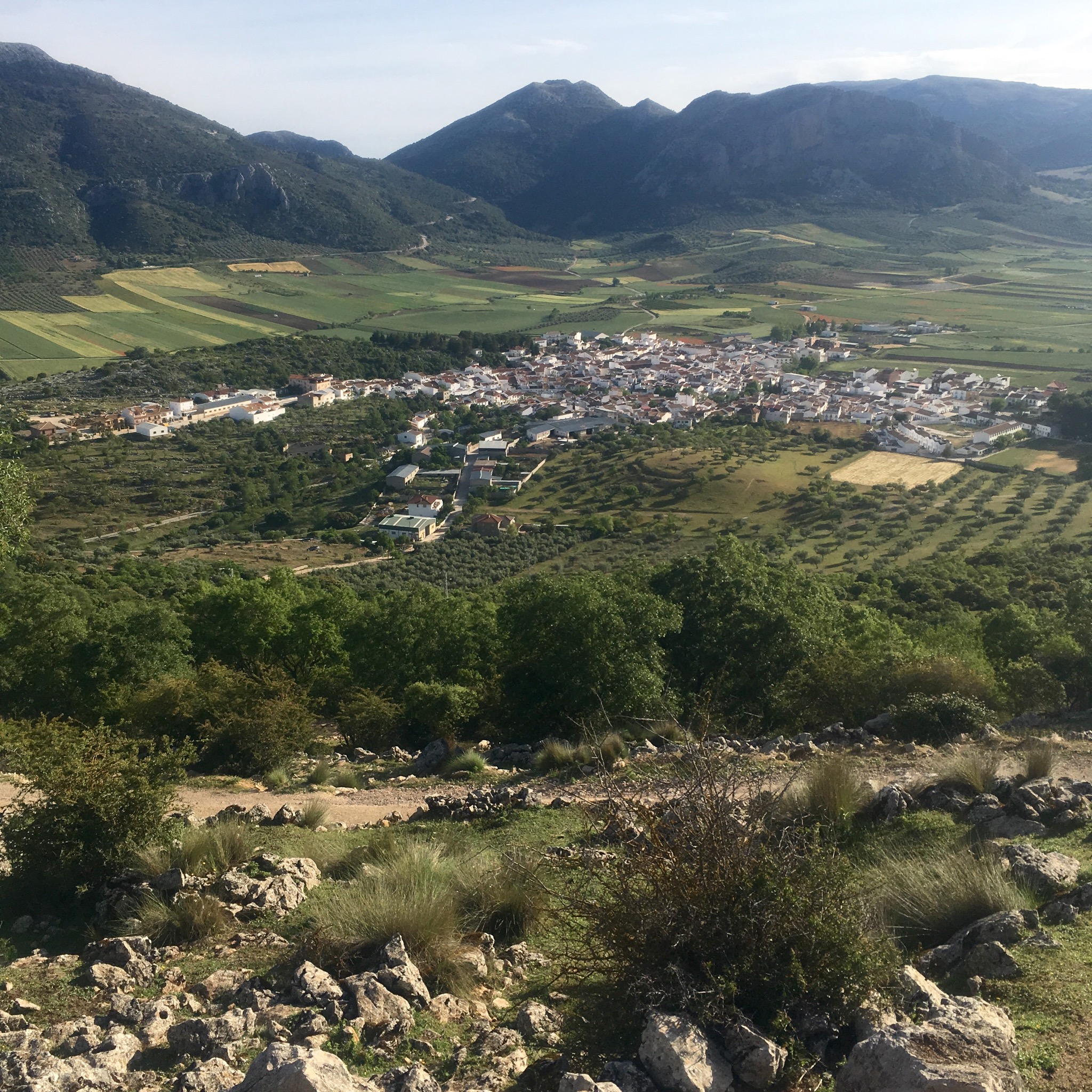
After 3 days deep in the valleys and high on the mountains on a constant roller coaster of ascents and descents it was a great relief to have a day on the flat. The altitude profile map had a maximum altitude of 12m although bizarrely there were sections marked as 2 or 3m below sea level. They must have known the tide would be out!

IMG_8042.JPG
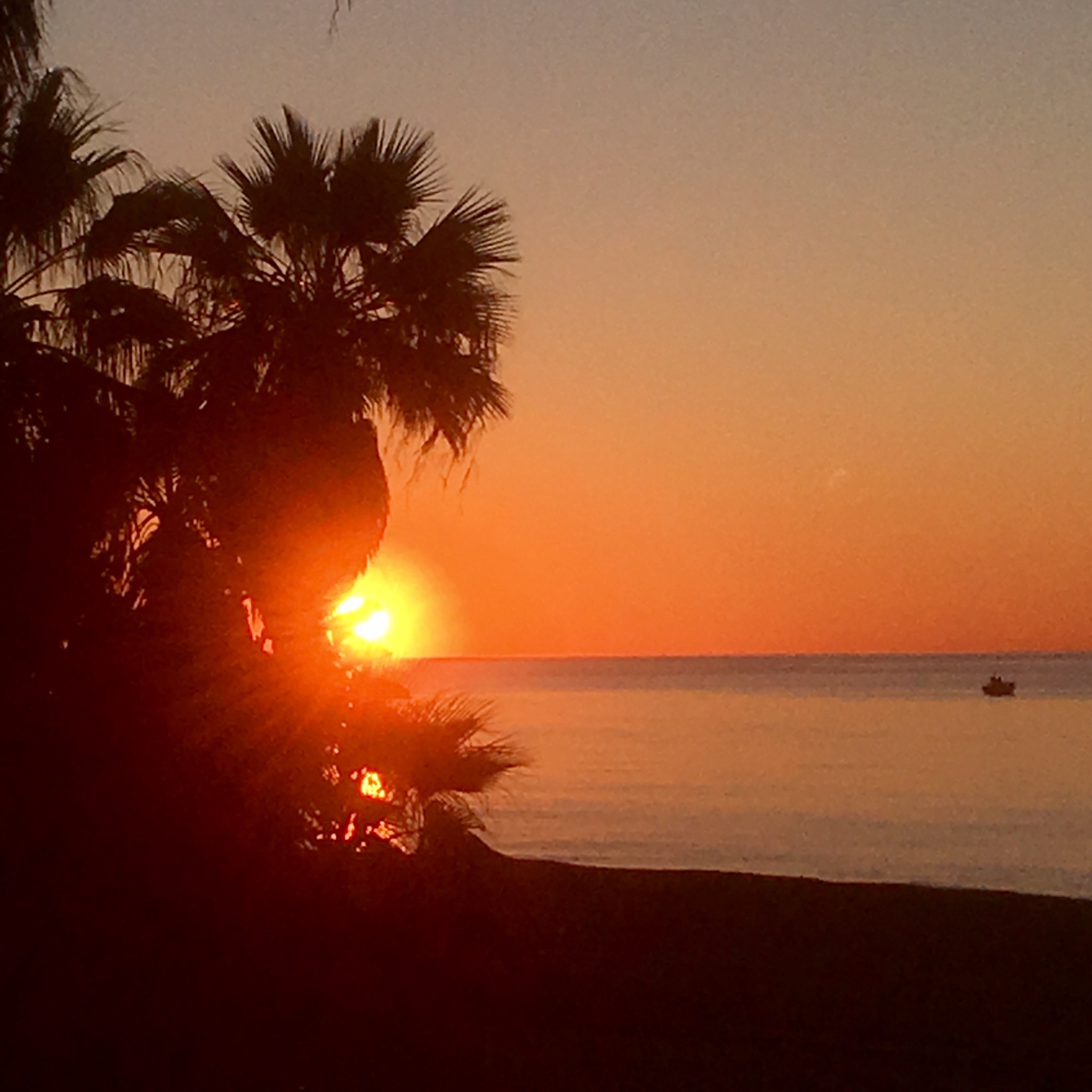
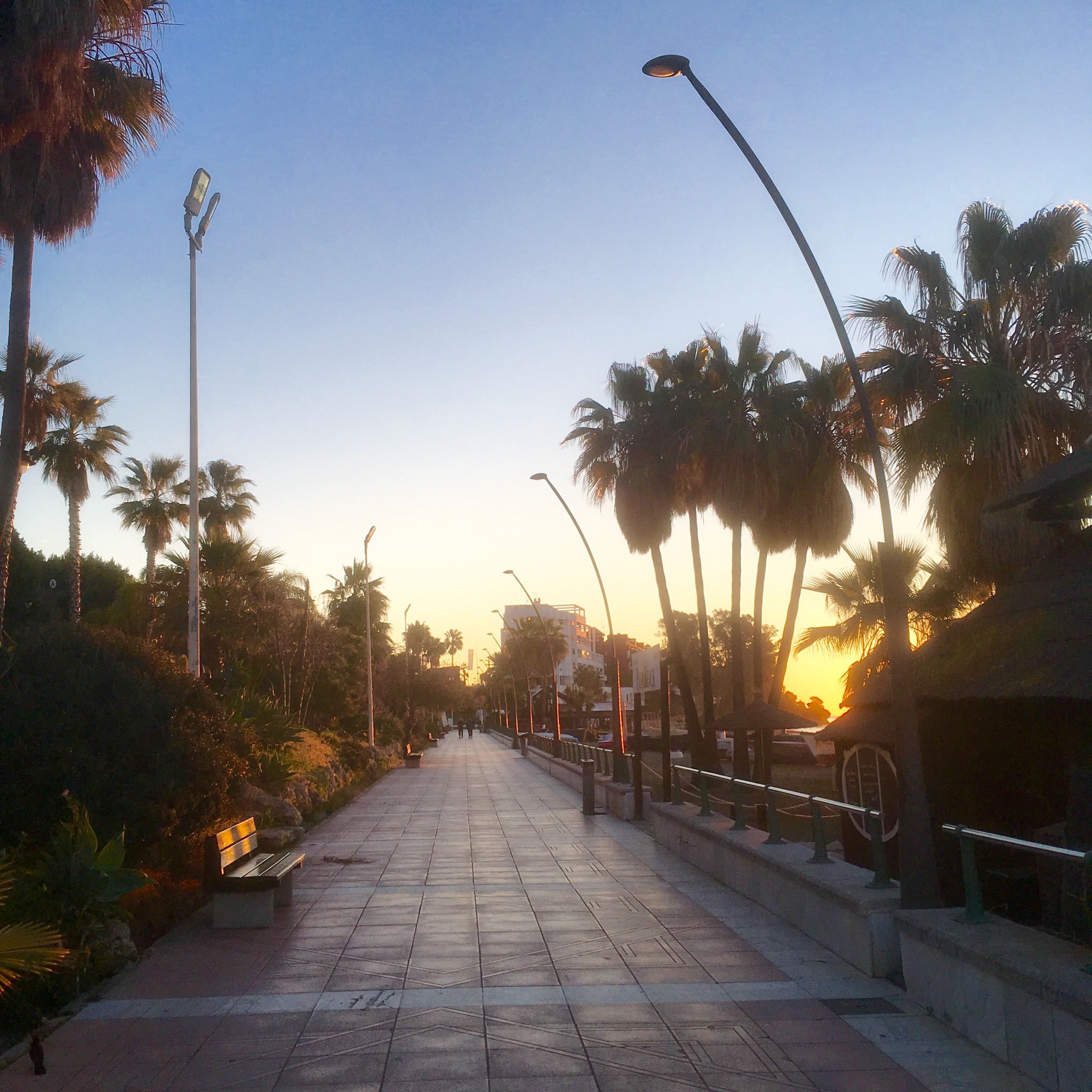
With the dawn promising a fine day I headed off down the prom, remembering it was a year ago I was doing a similar promenade walk out of Malaga at the first stage of this epic circumnavigation.

IMG_8045.JPG

IMG_8047.JPG
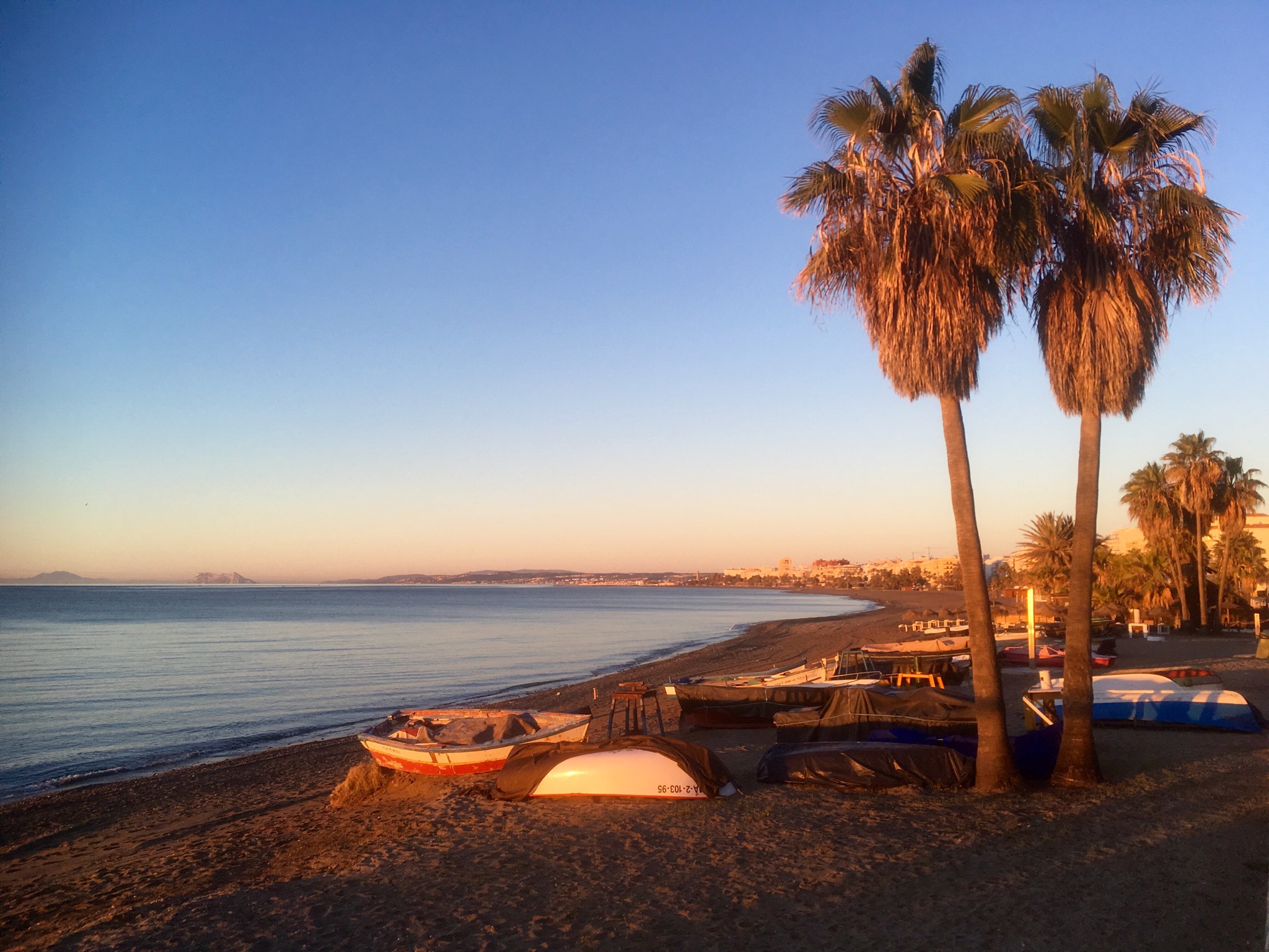
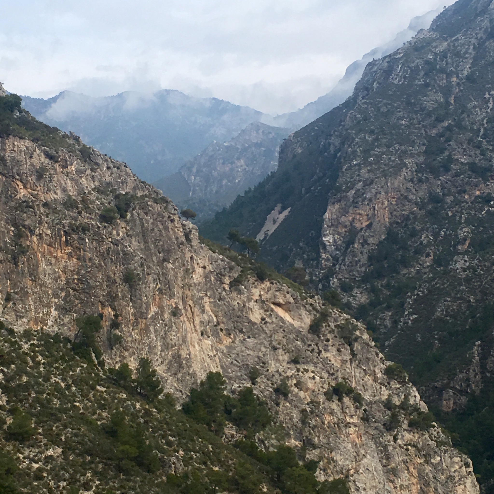
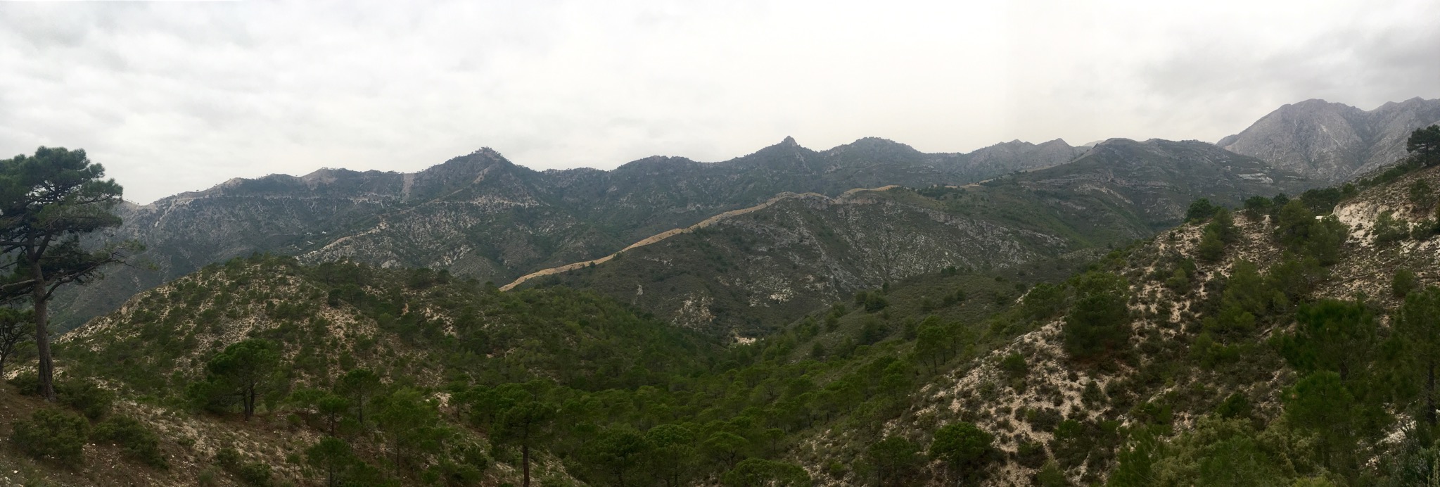
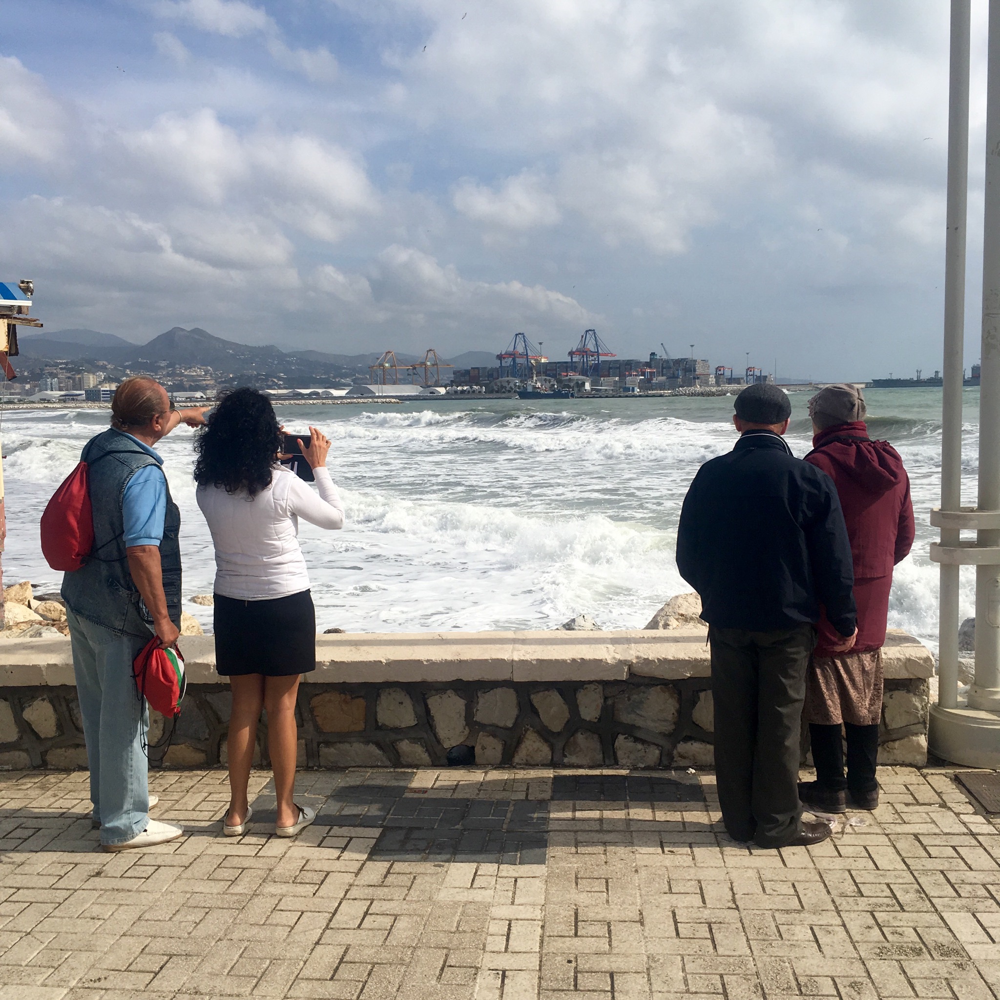
I could see the Rock of Gibraltar rising from the placid waters and a line of jagged Atlas Mountains away in North Africa.

IMG_8048.JPG
Some of the old houses in the town came right down to the seafront and at high tide they could go swimming from the back doors.

IMG_8050.JPG
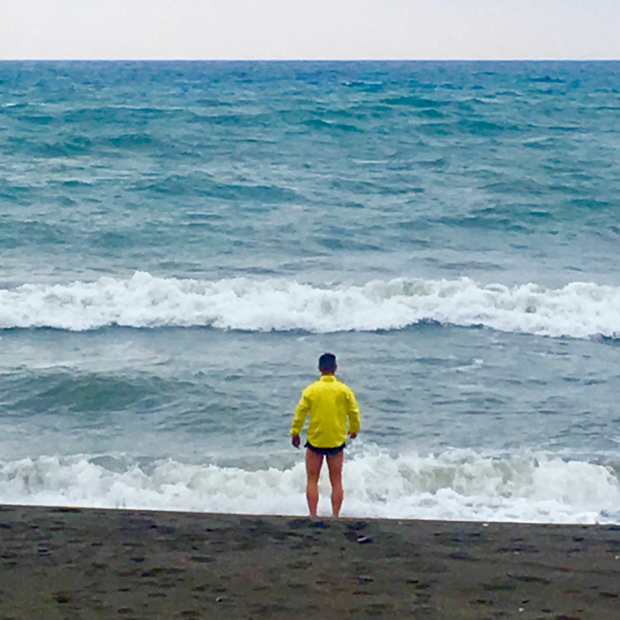
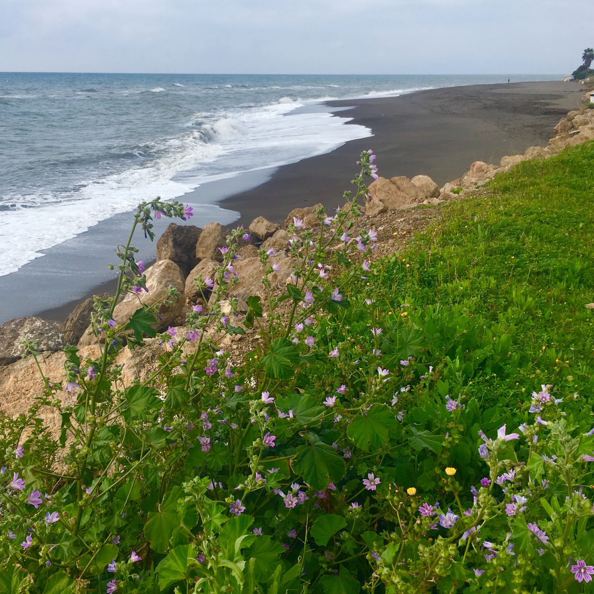
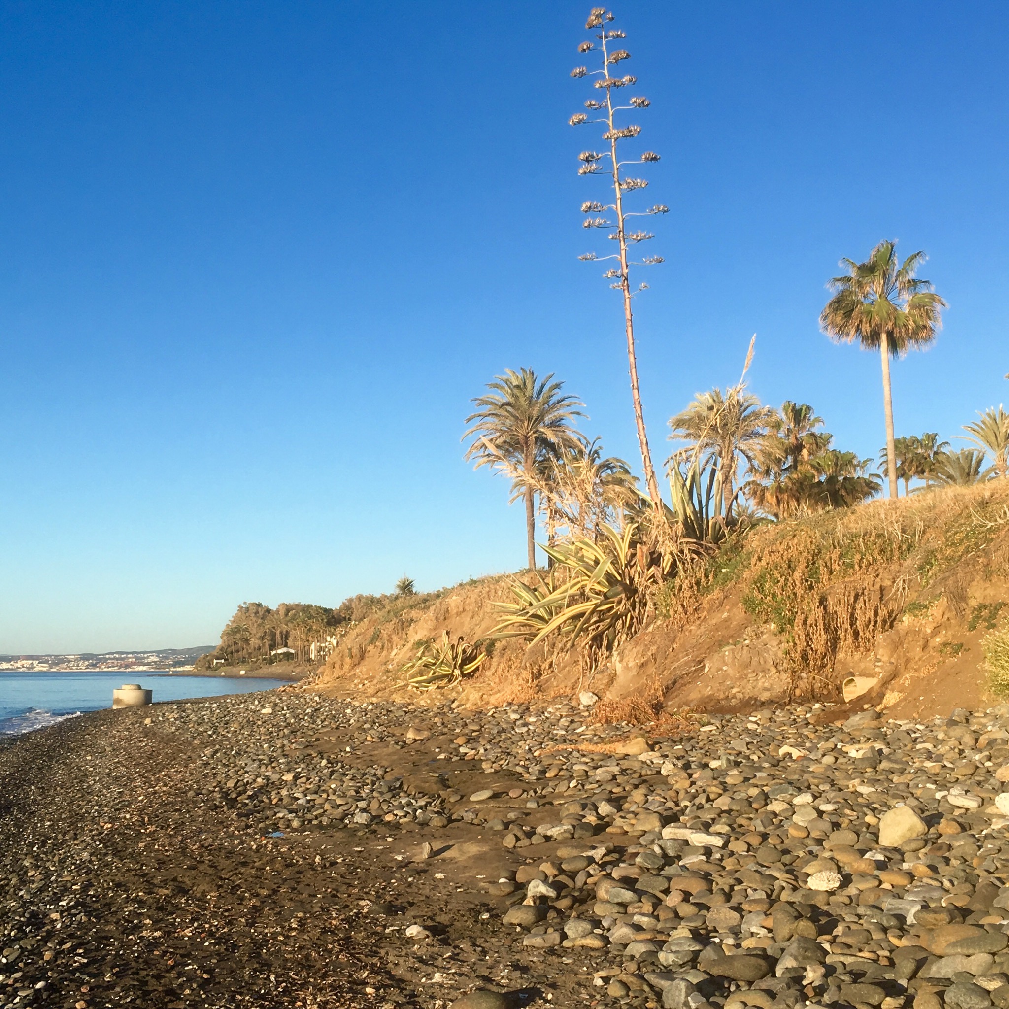
There was quite a bit of walking on sand and pebbles at the start of the stage which forced an effort I’d hoped to avoid.

IMG_8051.JPG
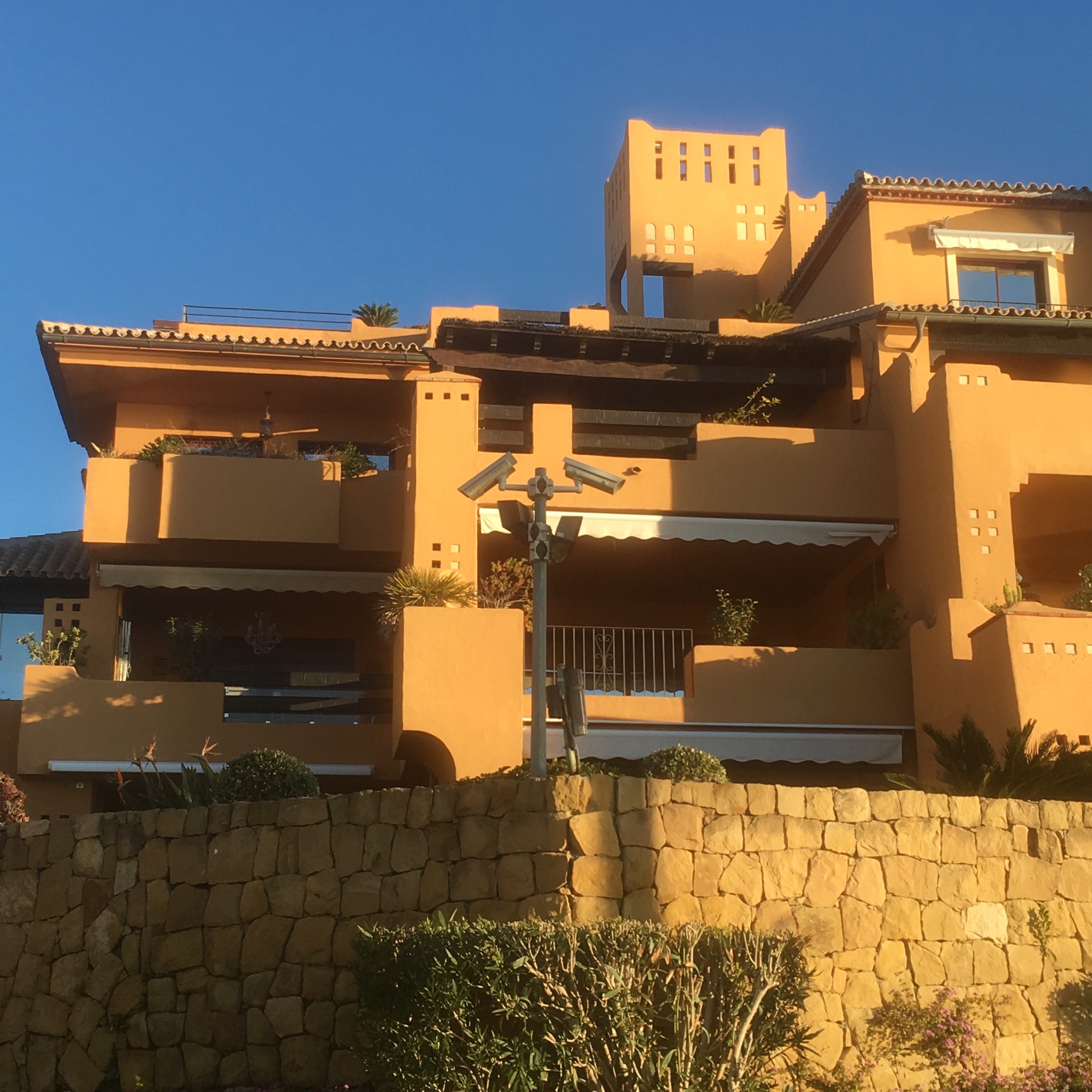
The big villas and exclusive enclaves started, with their high fences and security cameras. You could edit a strange film from the footage of an unlikely bearded man with rucksack hiking the Costa.

IMG_8052.JPG

IMG_8059.JPG

IMG_8060.JPG

IMG_8058.JPG
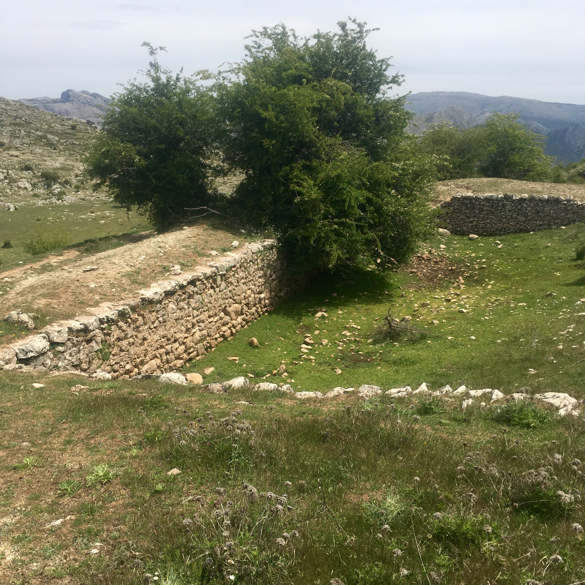
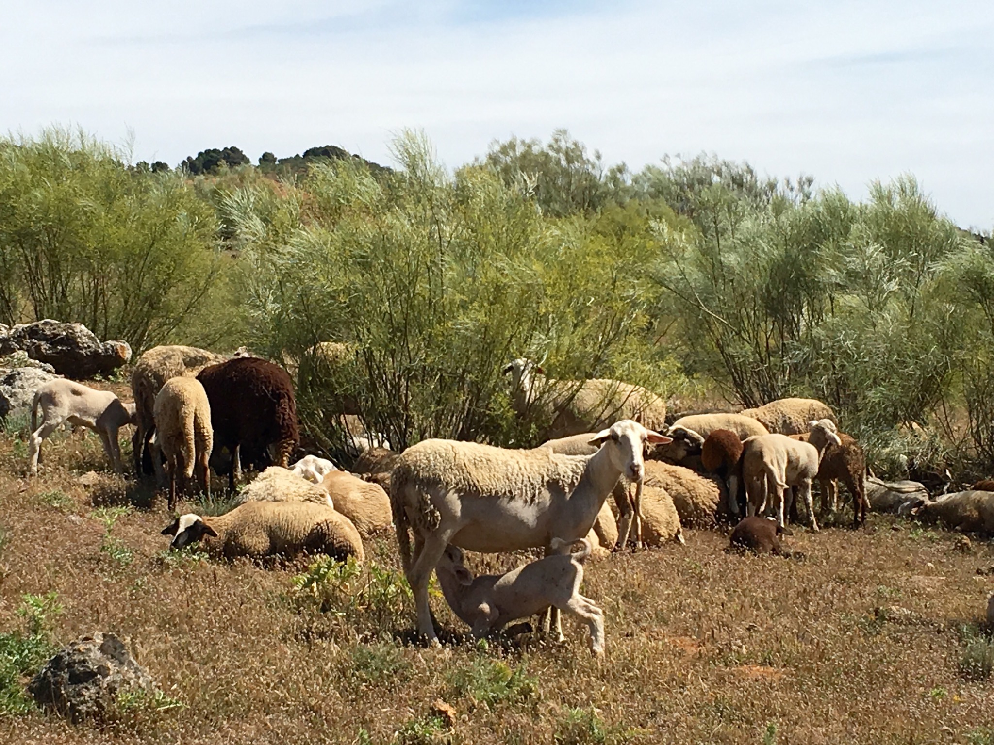
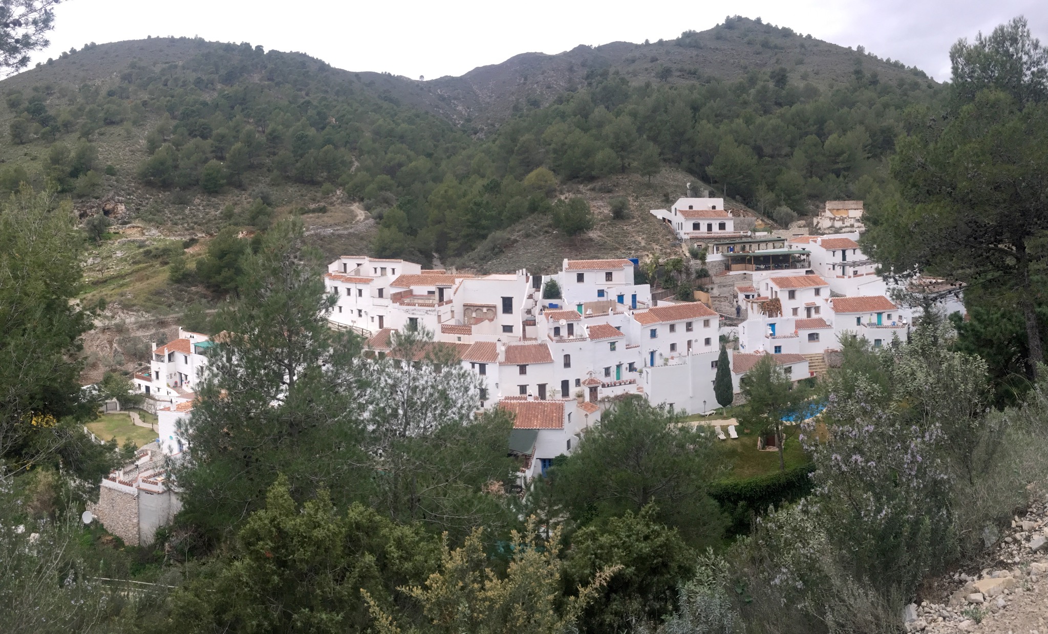
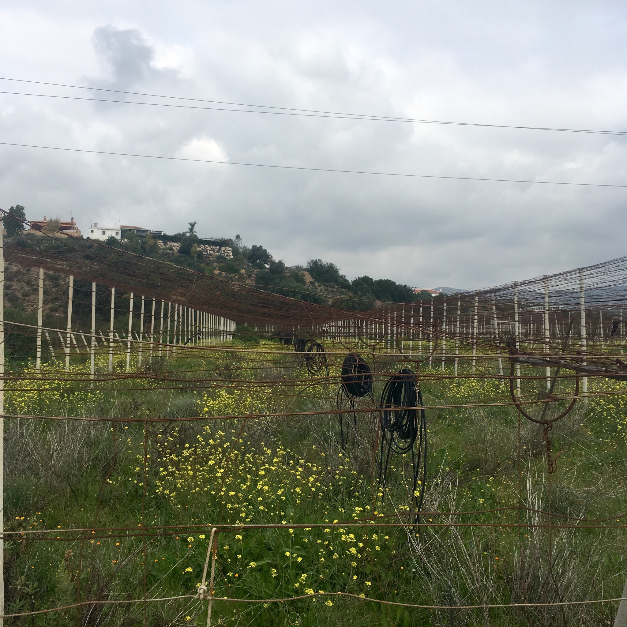
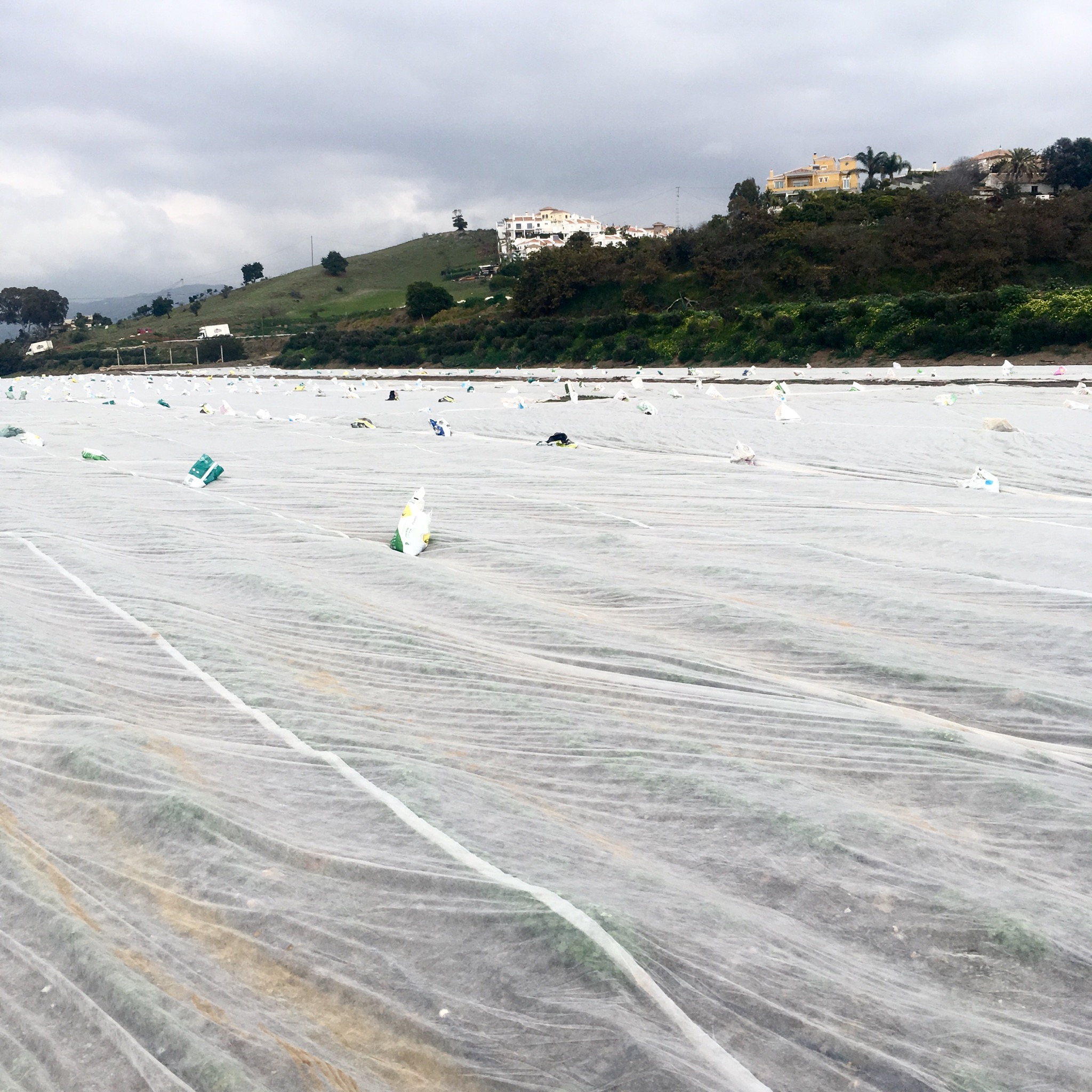
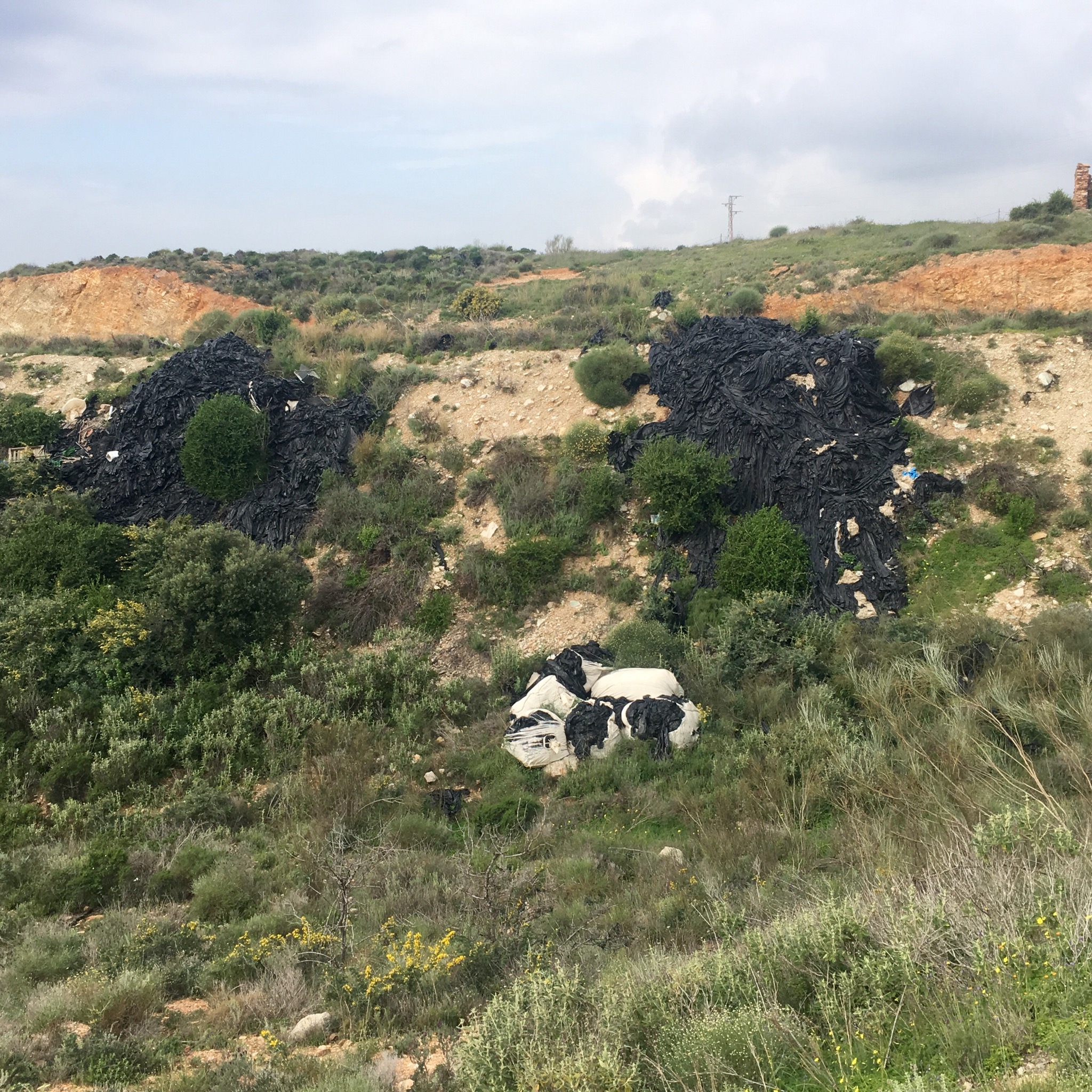
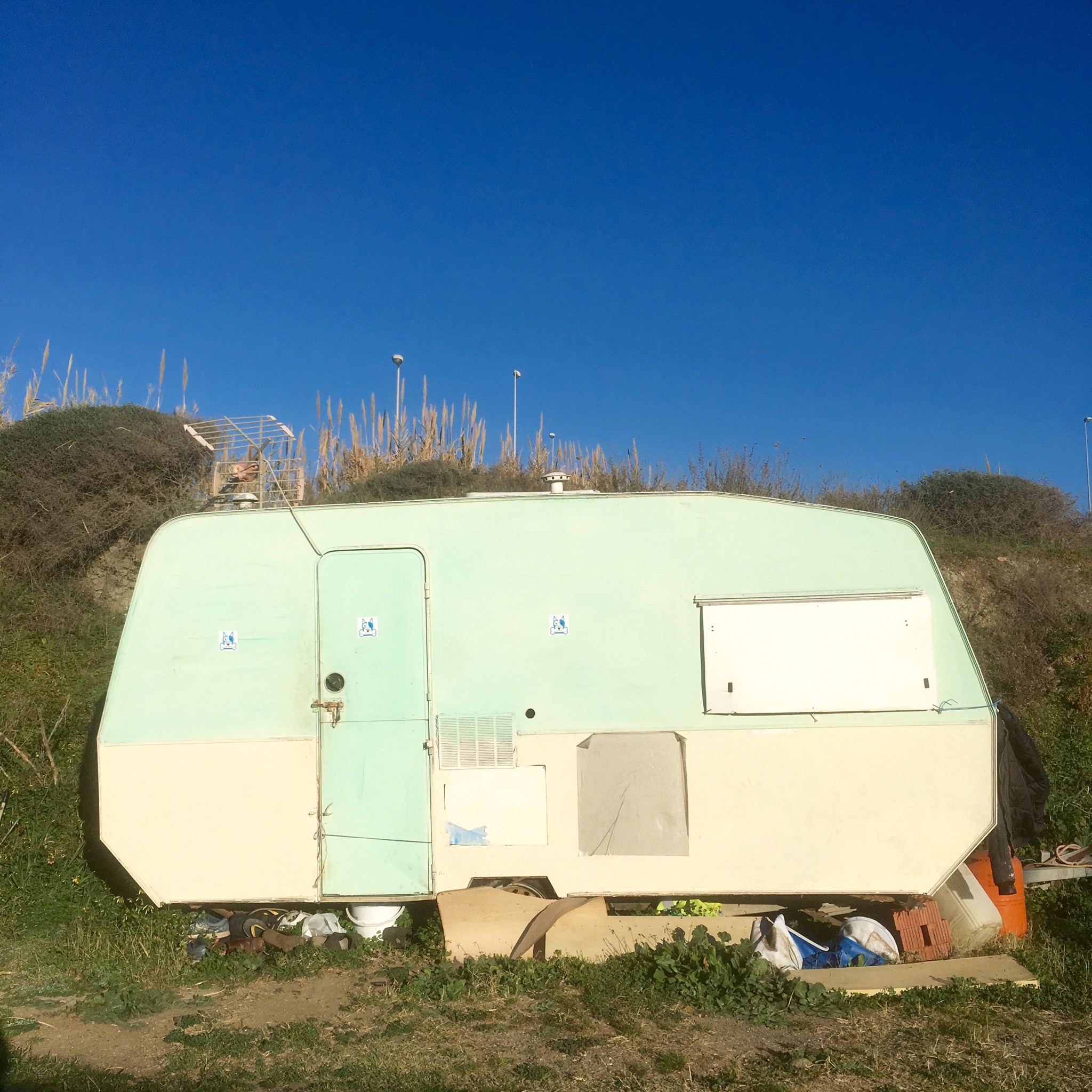
But it wasn’t all premium properties. Tucked away here and there there were still little pockets of scrubland, simple houses and fincas, camper vans and caravans.

IMG_8063.JPG

IMG_8064.JPG
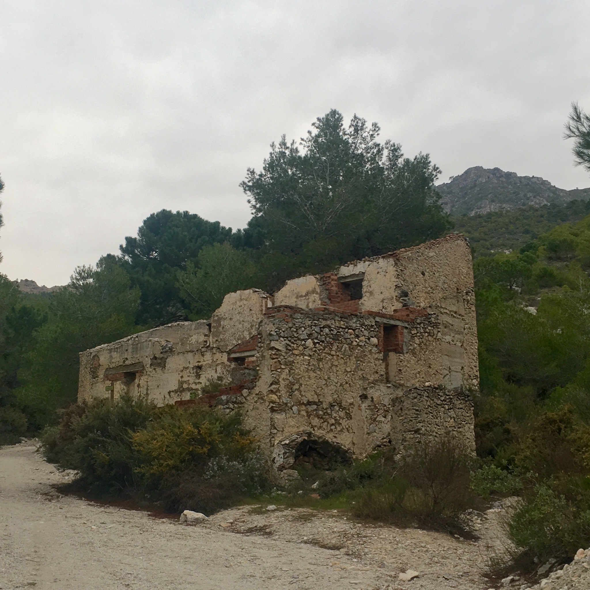
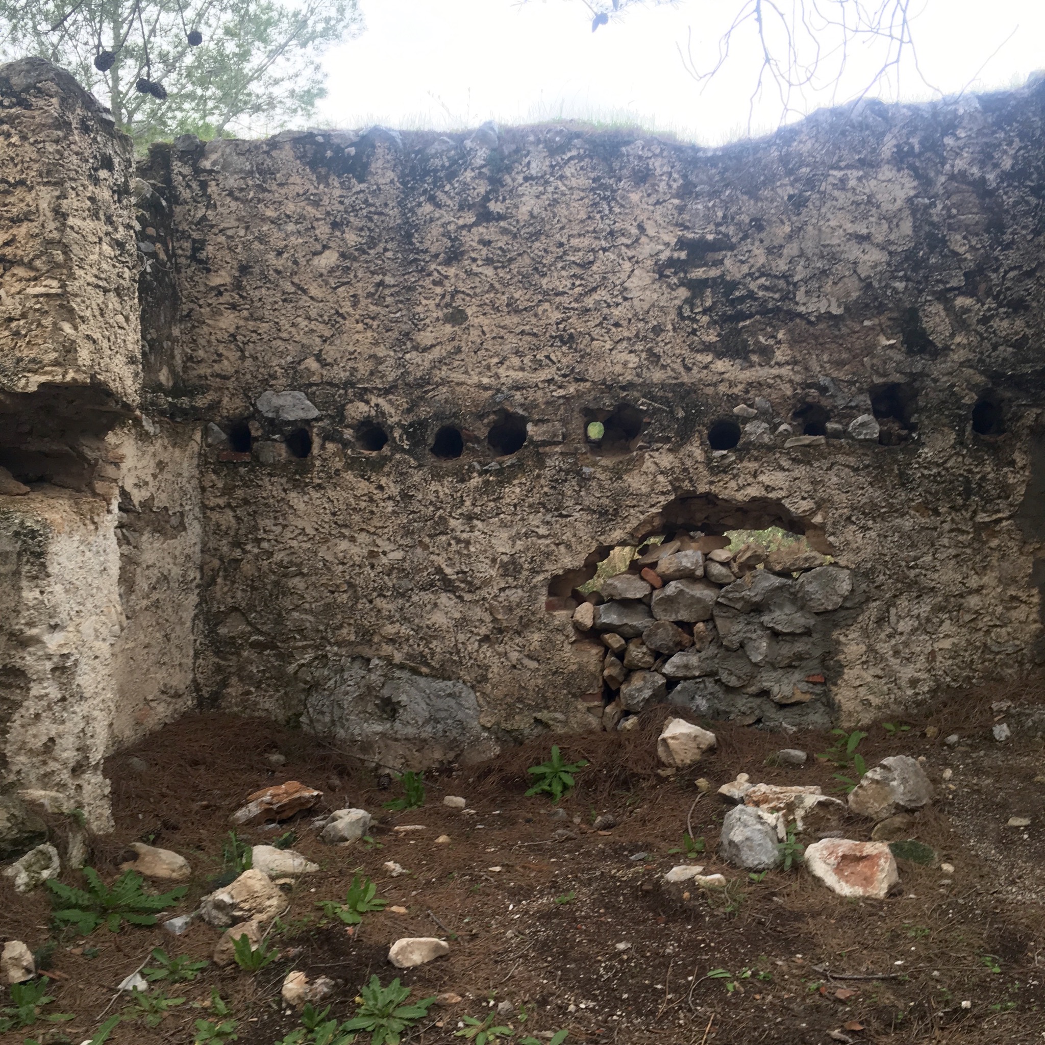
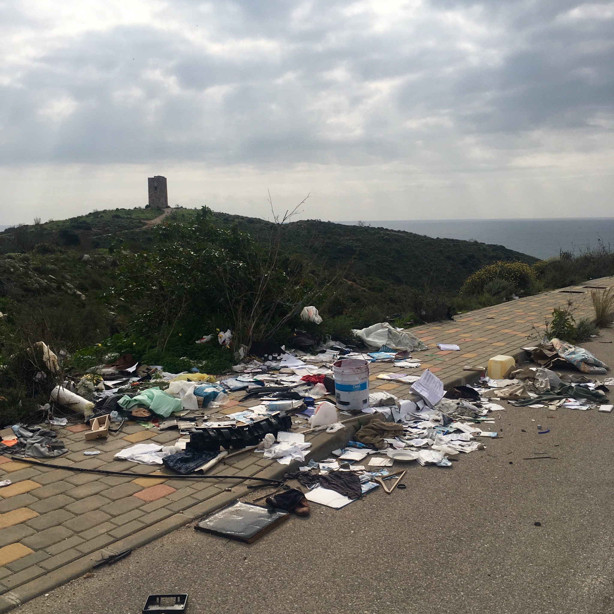
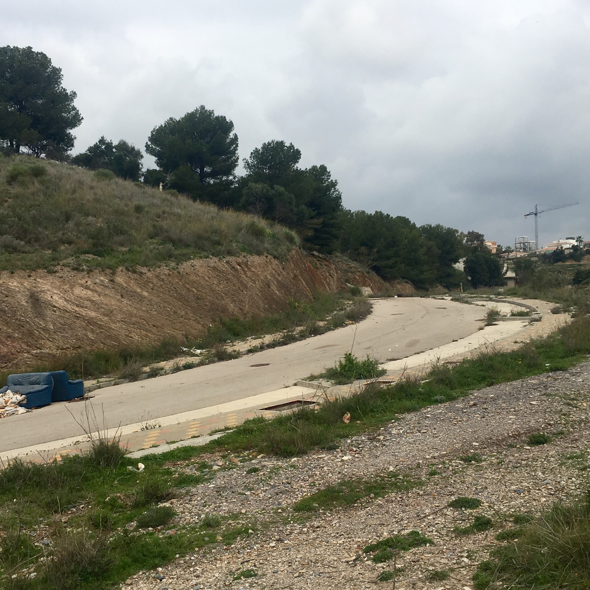
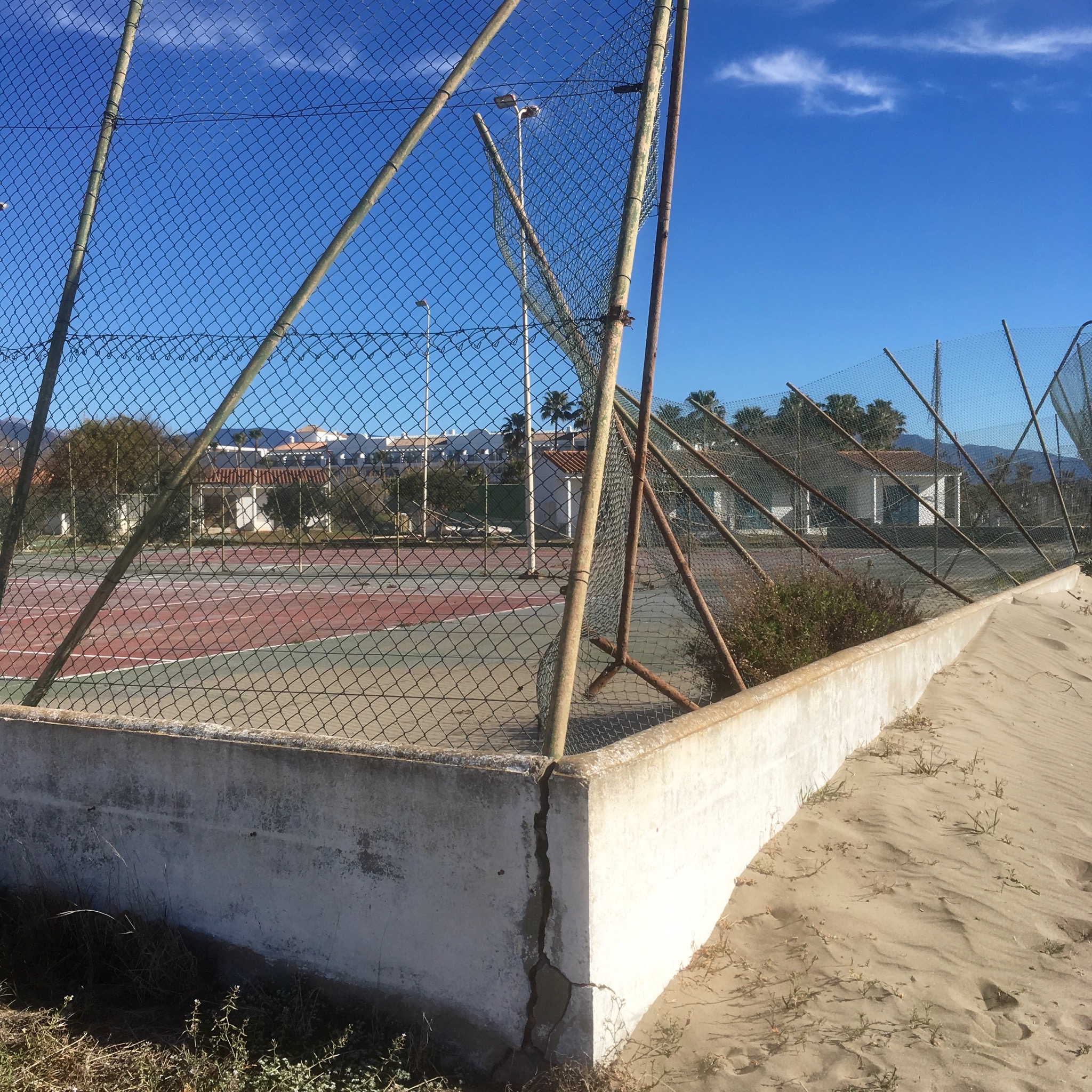
Some stretches were very quiet. I know it’s not the summer season but many resorts and condominiums seemed deserted. Some were rusting and crumbling away with empty or green pools and broken windows. But eerily a couple of apartments were lived in in the midst of once upmarket desolation. It was like something out of a J G Ballard story.

IMG_8076.JPG

IMG_8074.JPG

IMG_8077.JPG

IMG_8079.JPG
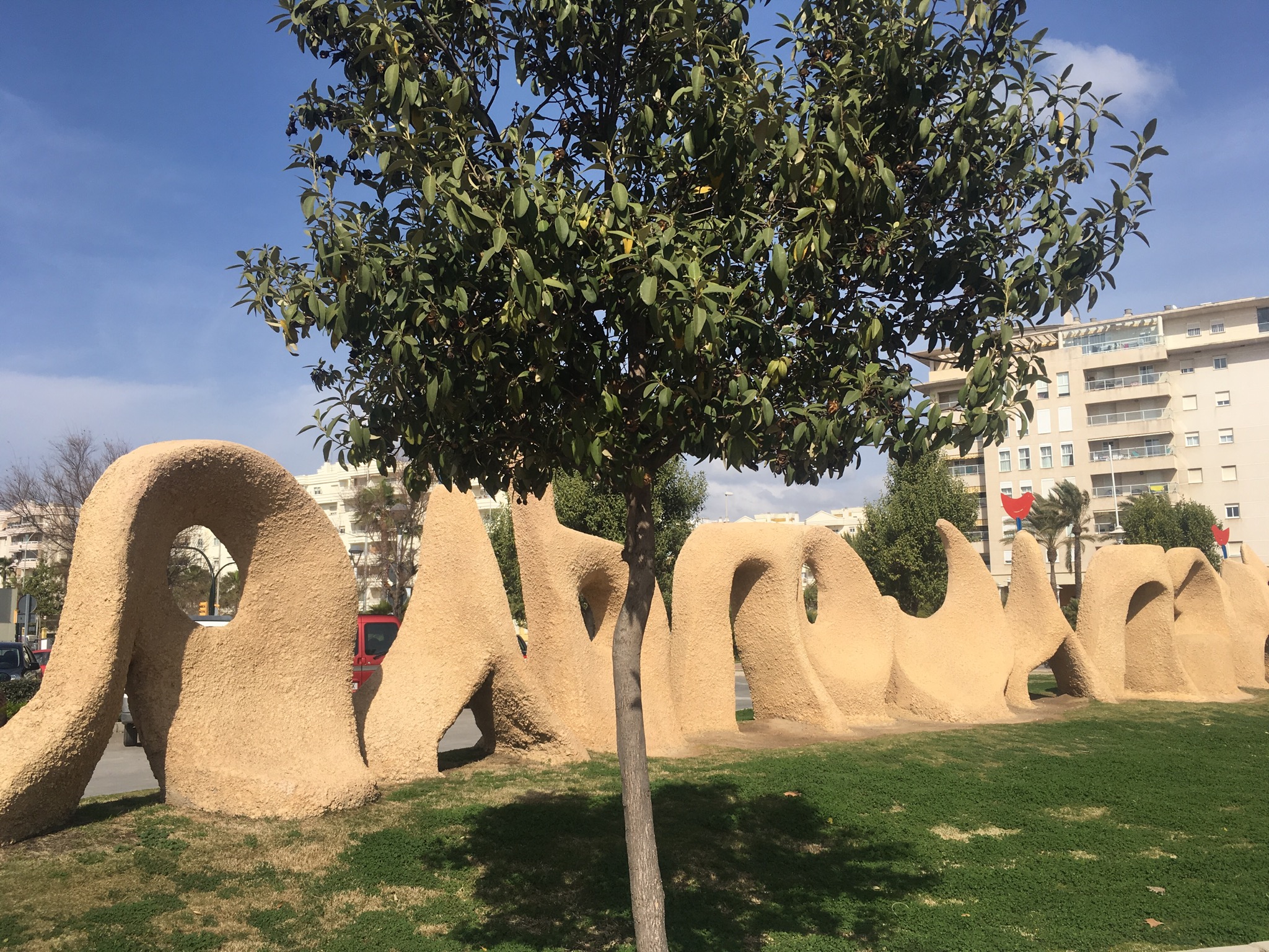
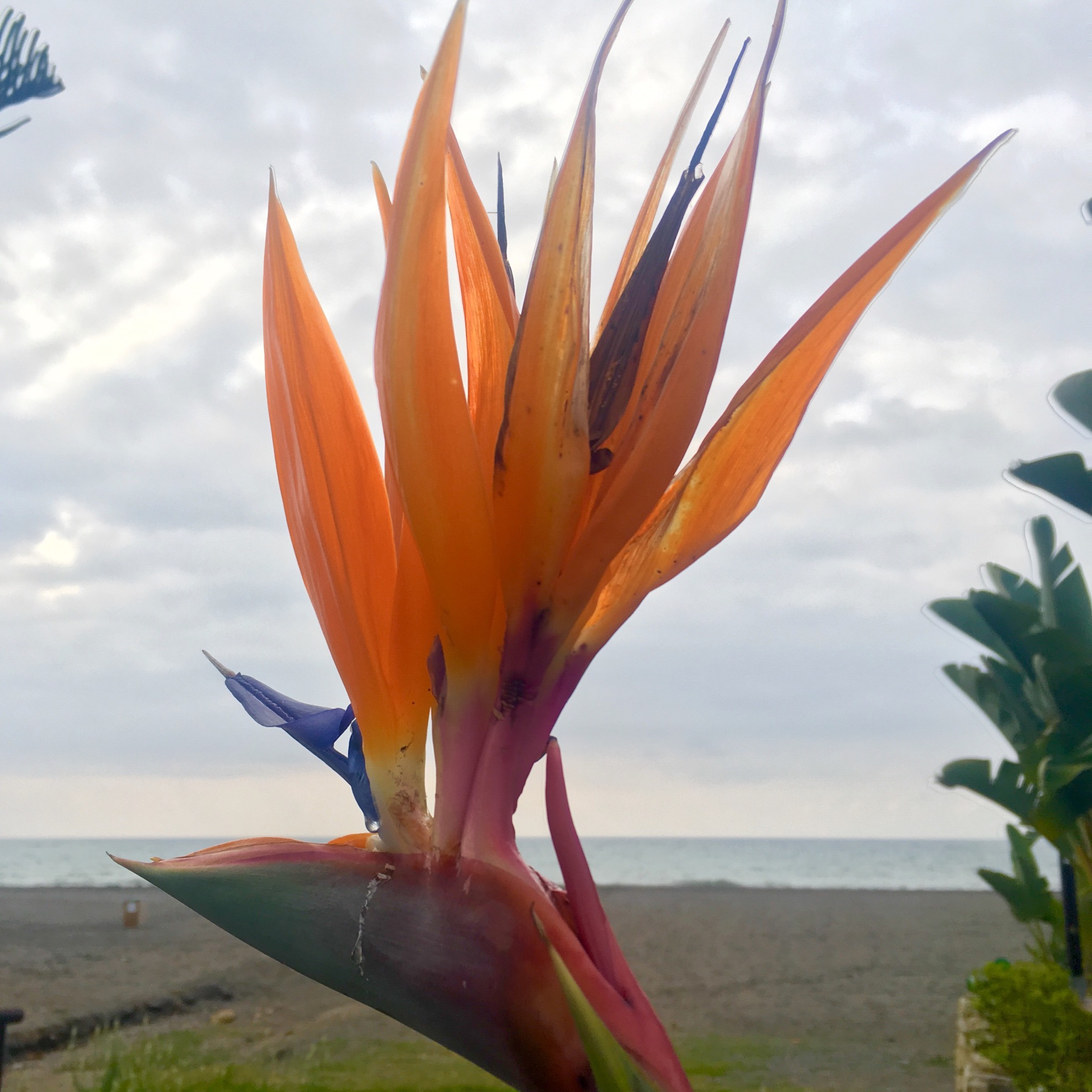
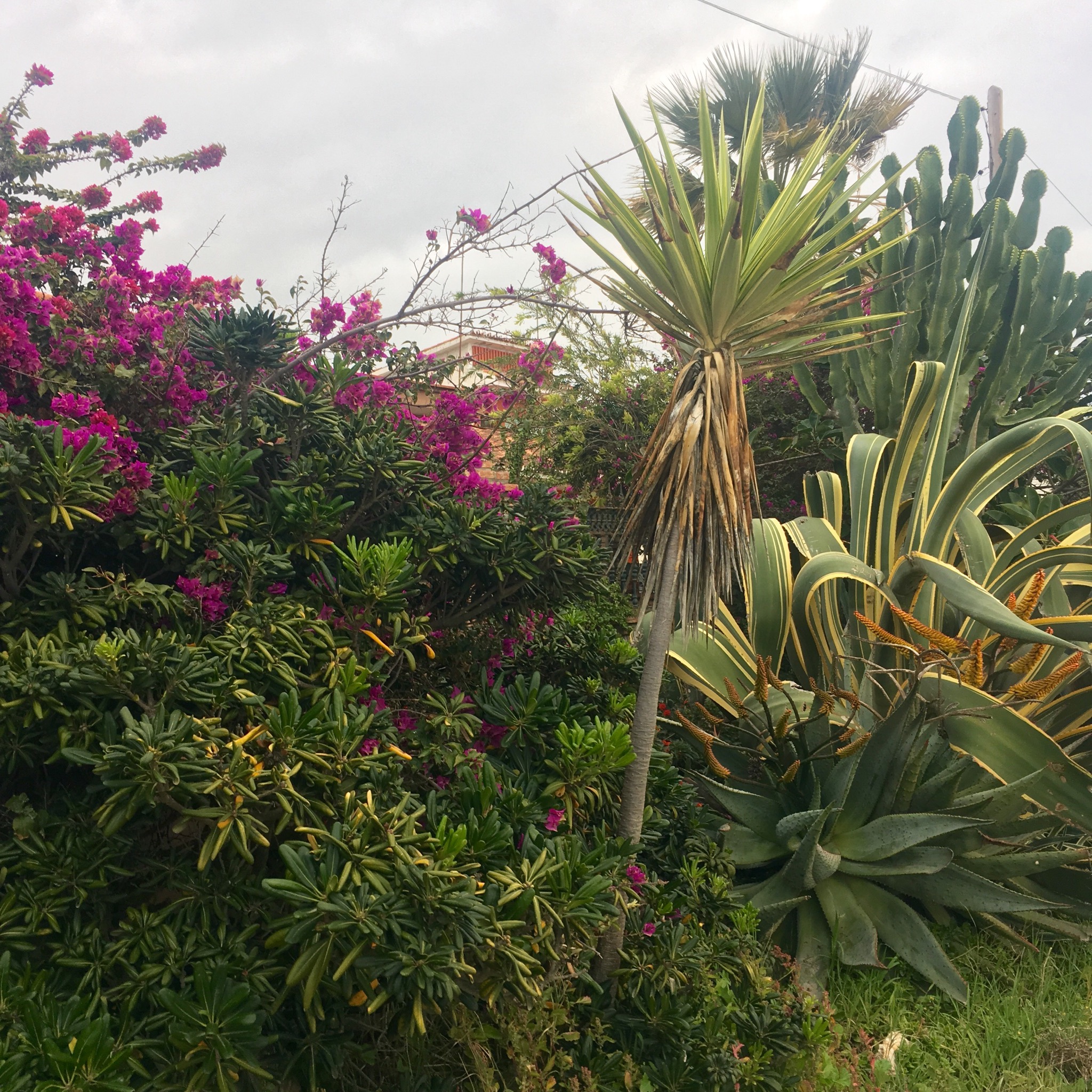
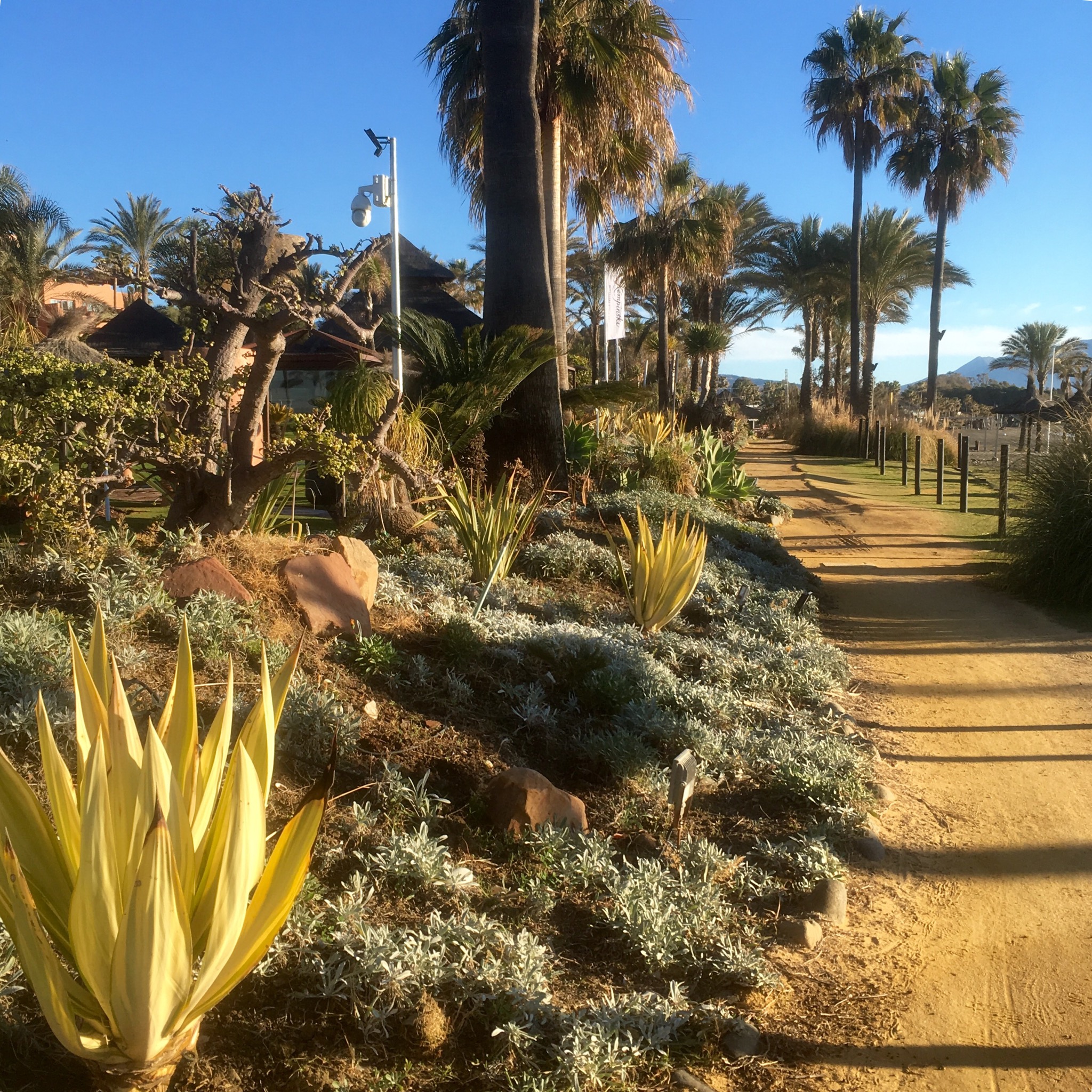
But most stretches were pleasant enough with nice plantings and paving.

IMG_8061.JPG

IMG_8108.JPG

IMG_8075.JPG

IMG_8070.JPG
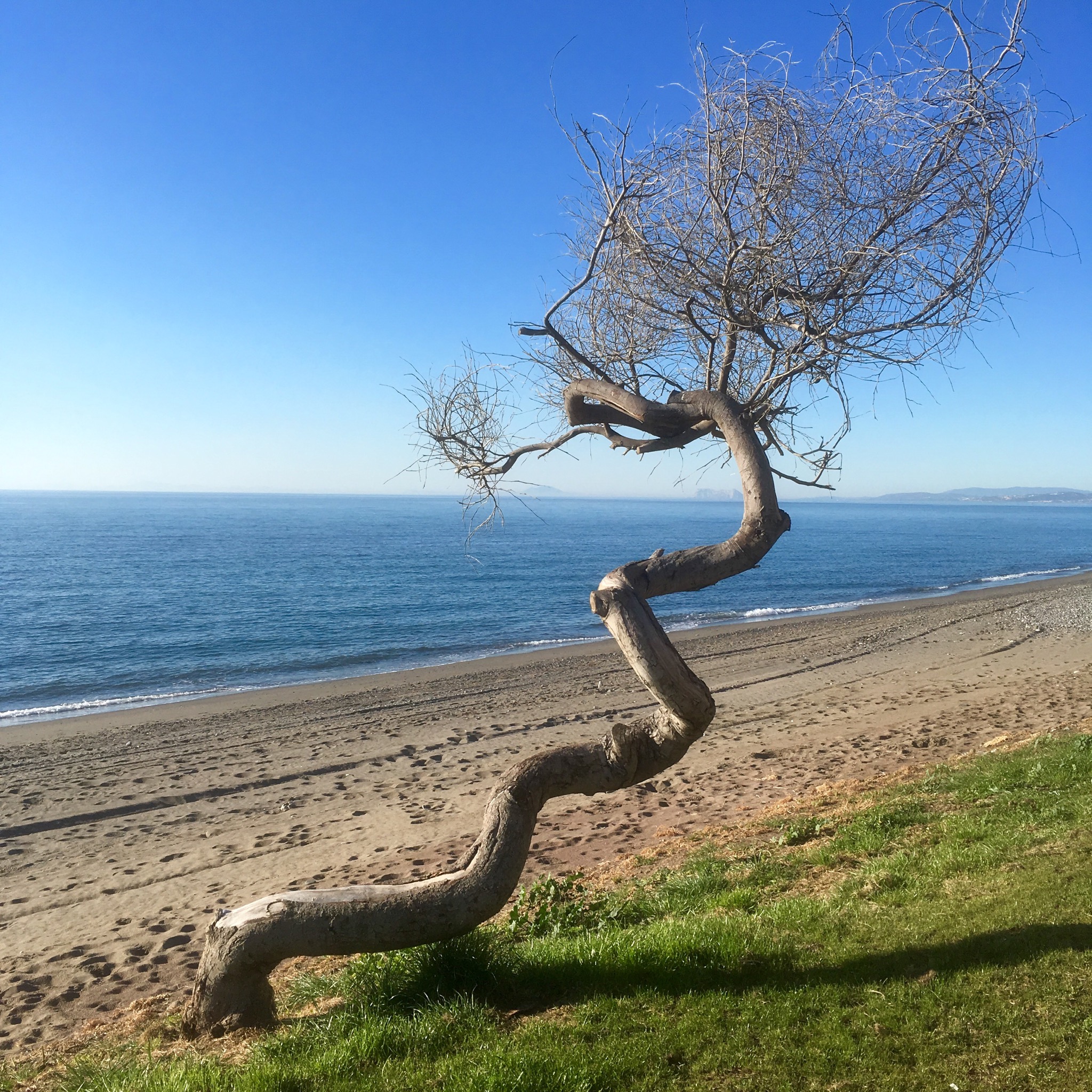
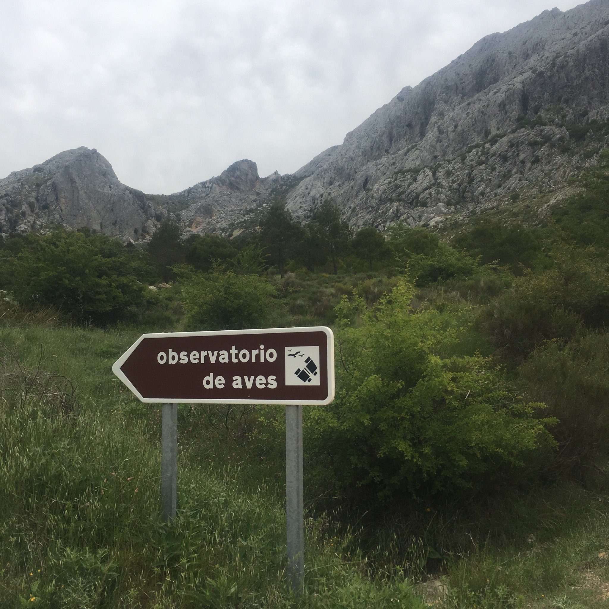
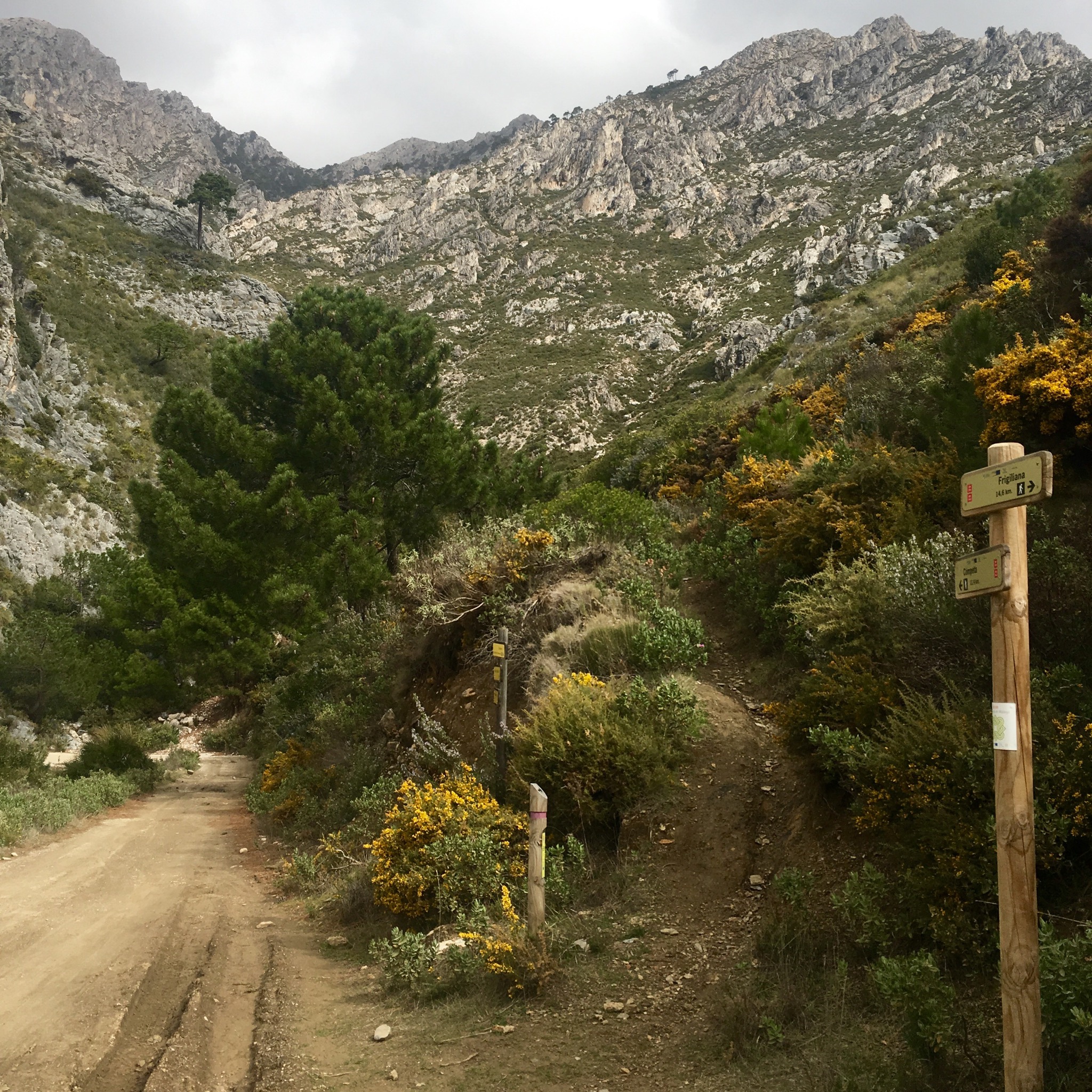
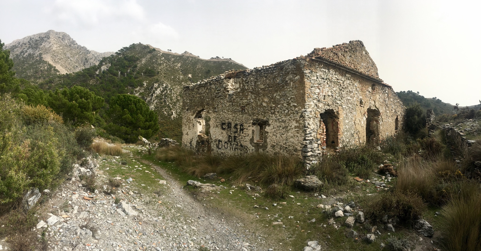
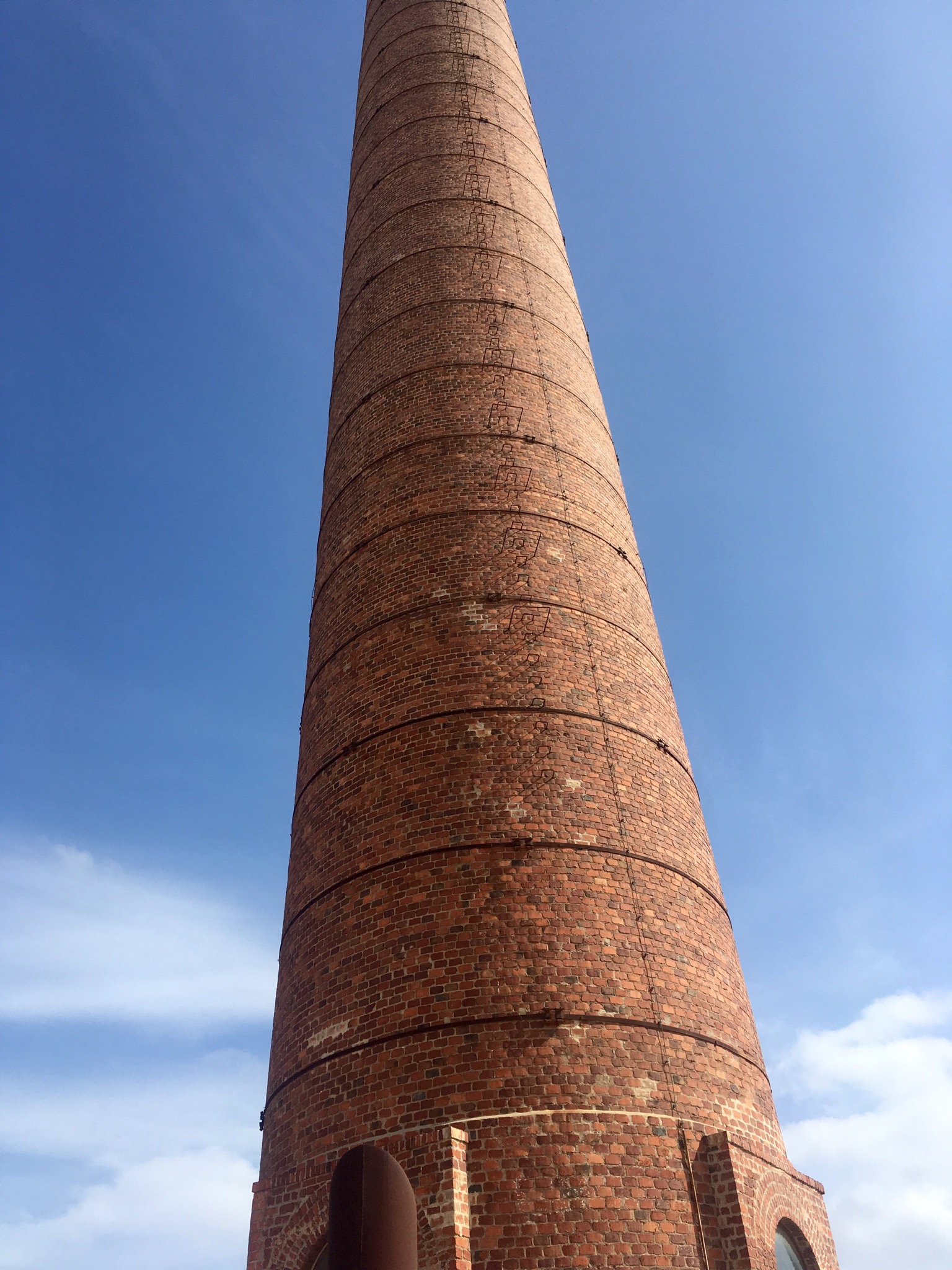
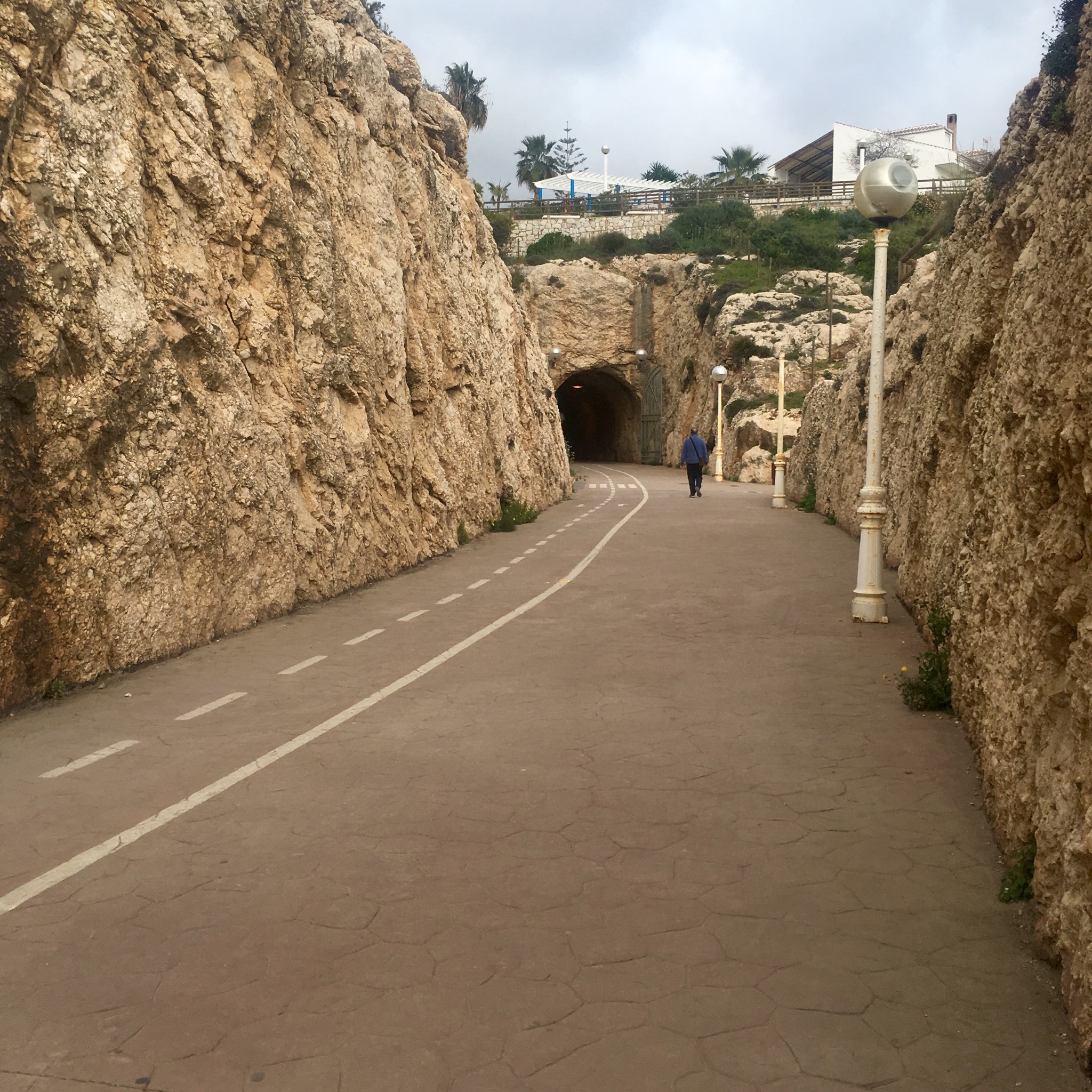
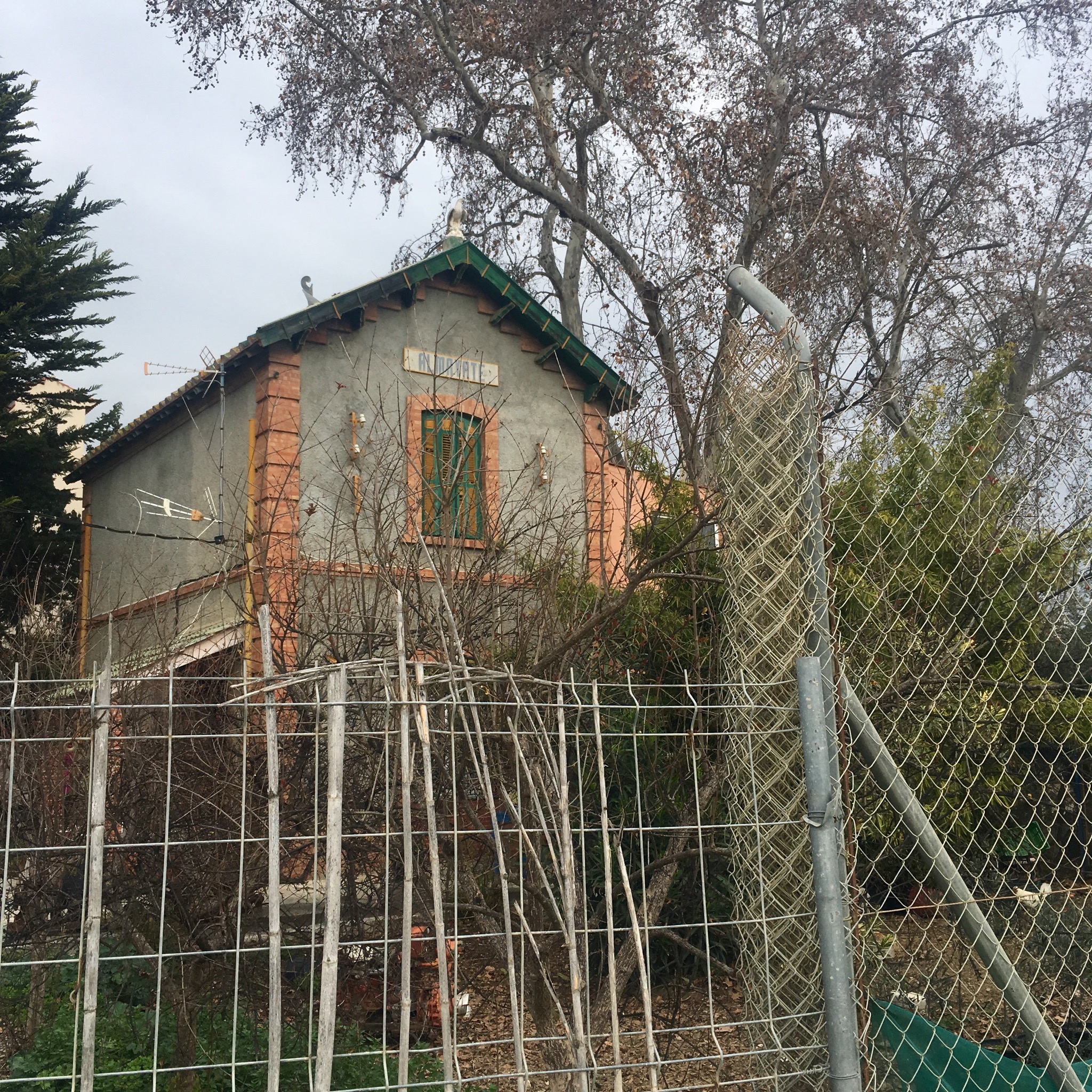
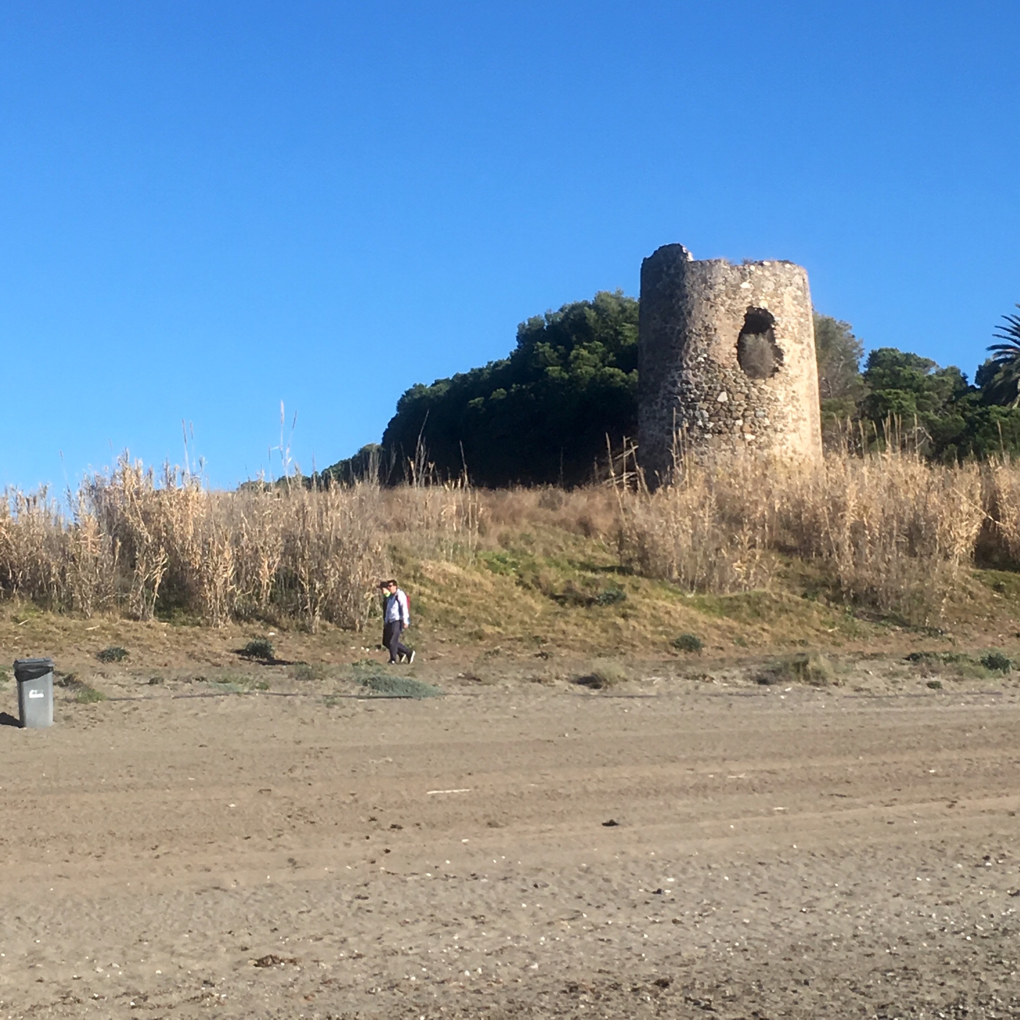
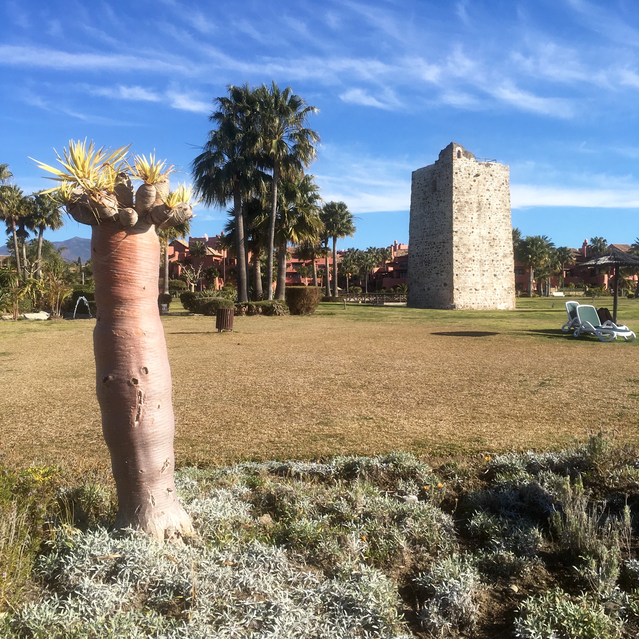
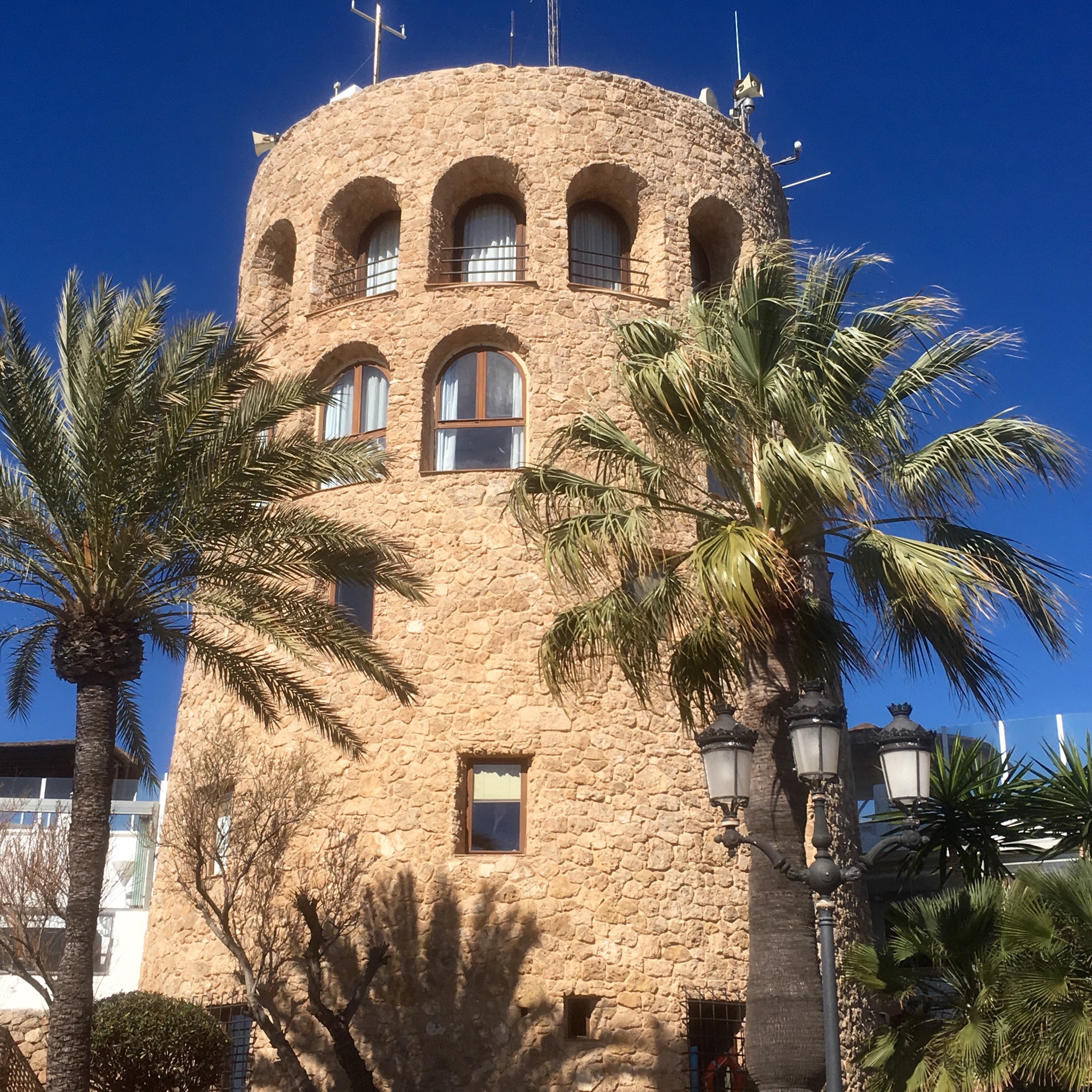
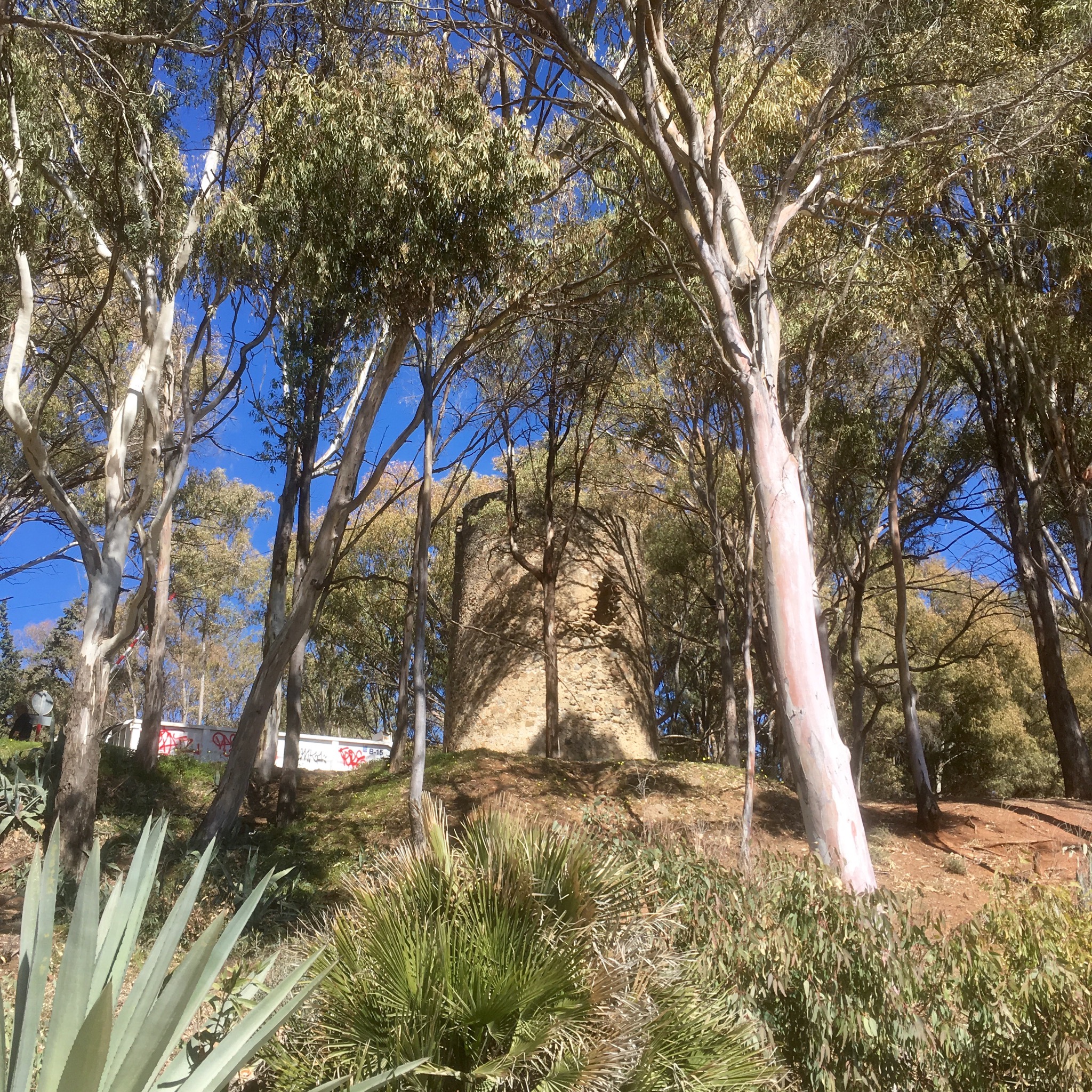
Every so often id pass an ancient watchtower or medieval beacon in a range of different settings.

IMG_8062.JPG

IMG_8080.JPG

IMG_8069.JPG

IMG_8072.JPG
Of course Puerto Banus’s had to be the most premium exclusive property.

IMG_8082.JPG
What an astonishing ostentatious display of wealth and desire is open to the rubberneckers in a couple of Kms.

IMG_8083.JPG

IMG_8093.JPG

IMG_8089.JPG

IMG_8084.JPG

IMG_8085.JPG

IMG_8096.JPG

IMG_8097.JPG

IMG_8099.JPG
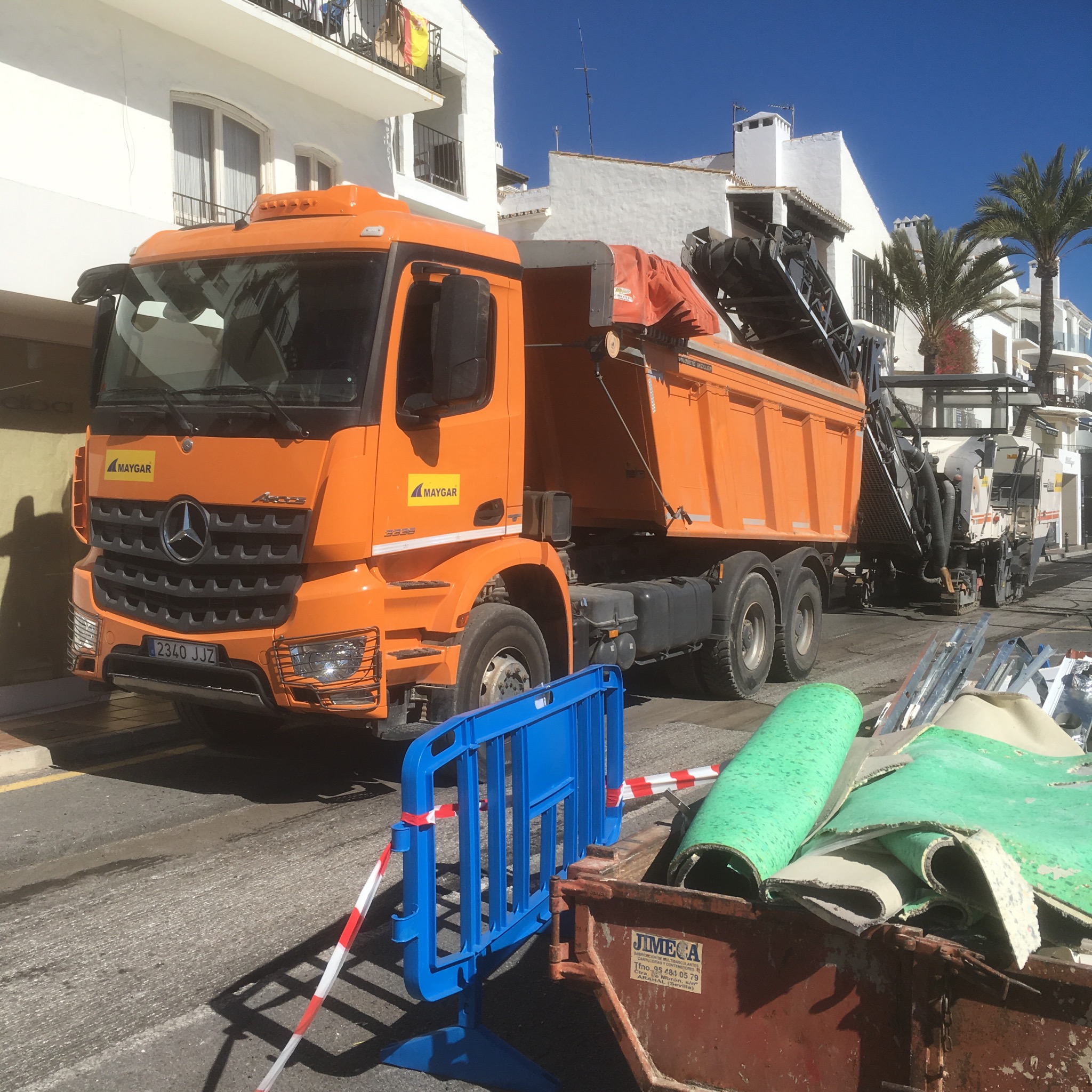
Ironically the whole place was having its streets dug up and replaced so it was chaos with a lot of unwanted dust landing on cars,boats,restaurant tables, clothes and hairdos.

IMG_8095.JPG
But the Puerto is a small world apart and soon I was back to the beaches on the way to Marbella.

IMG_8102.JPG

IMG_8106.JPG

IMG_8103.JPG
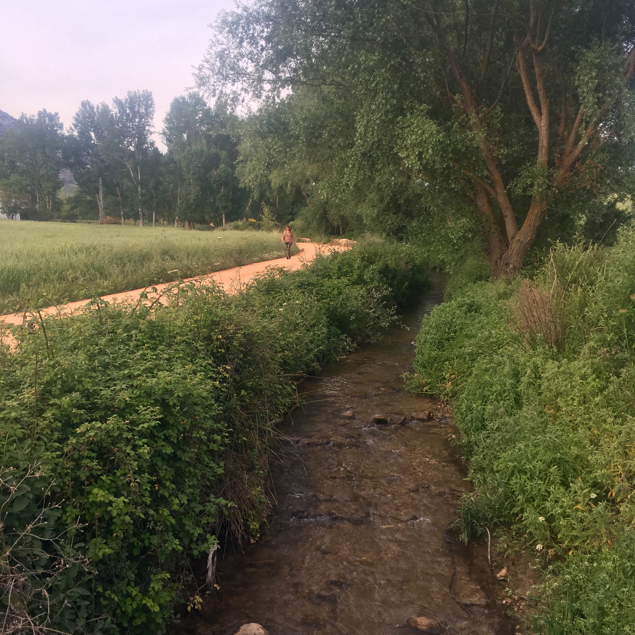
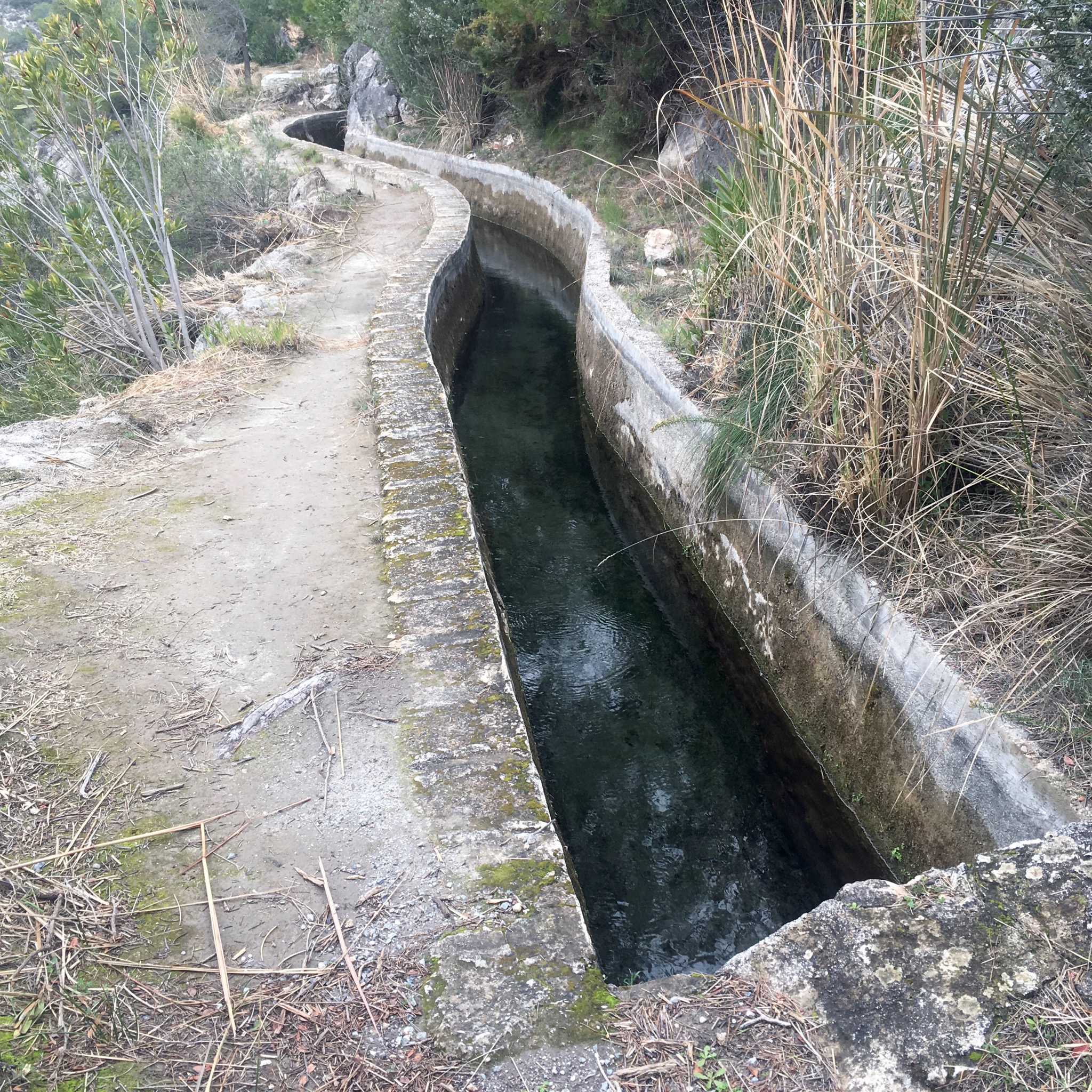
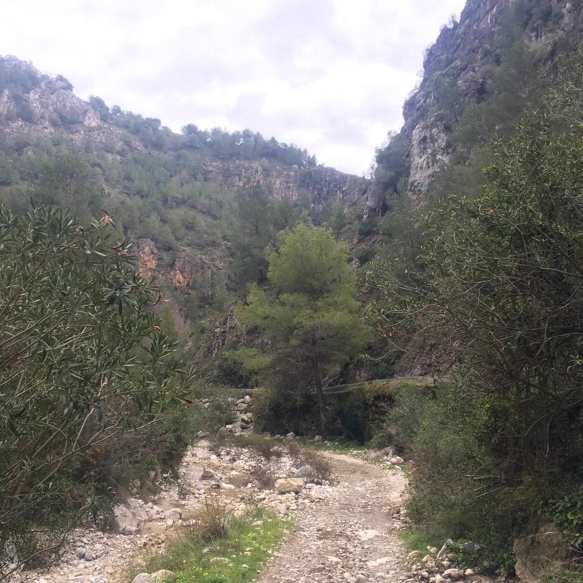
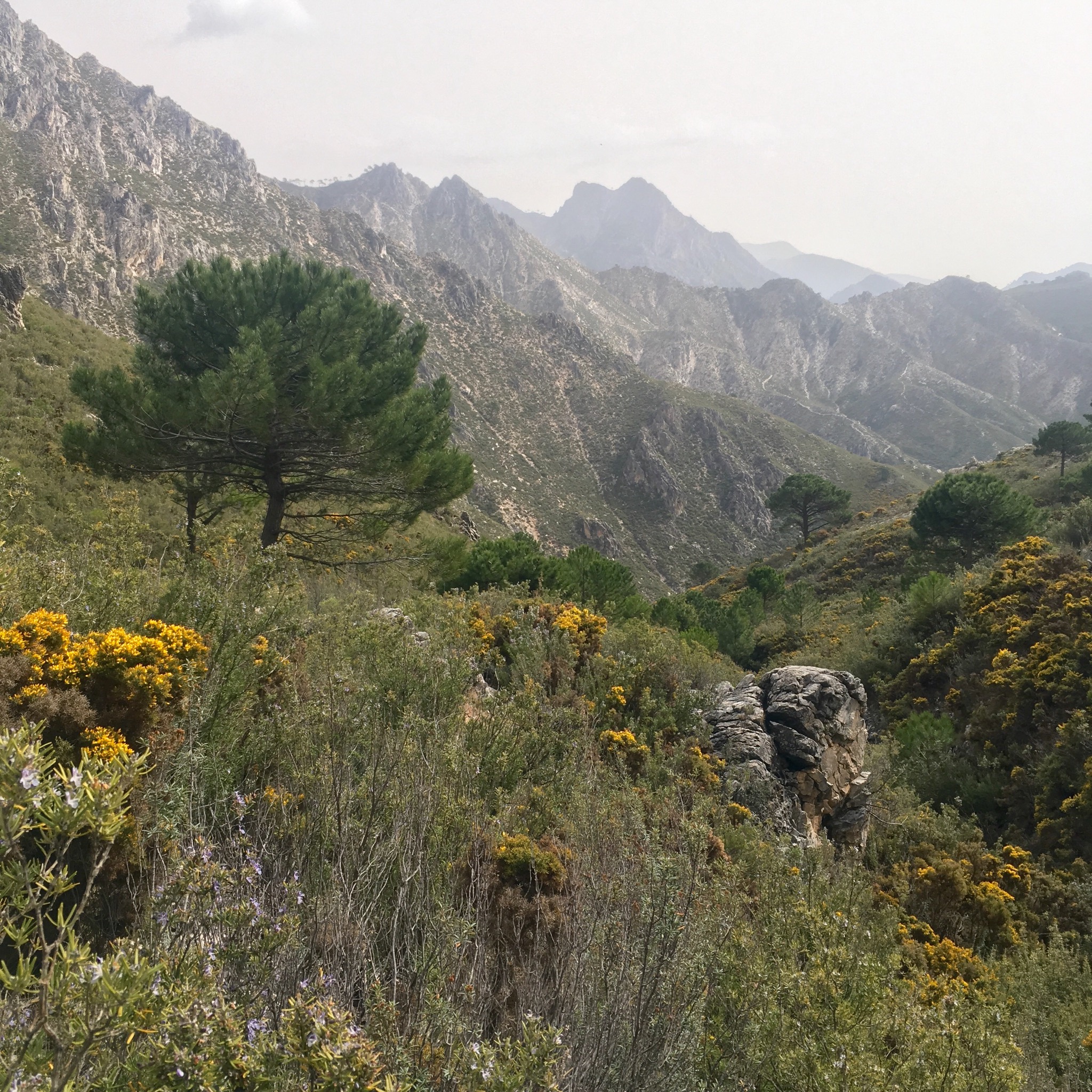
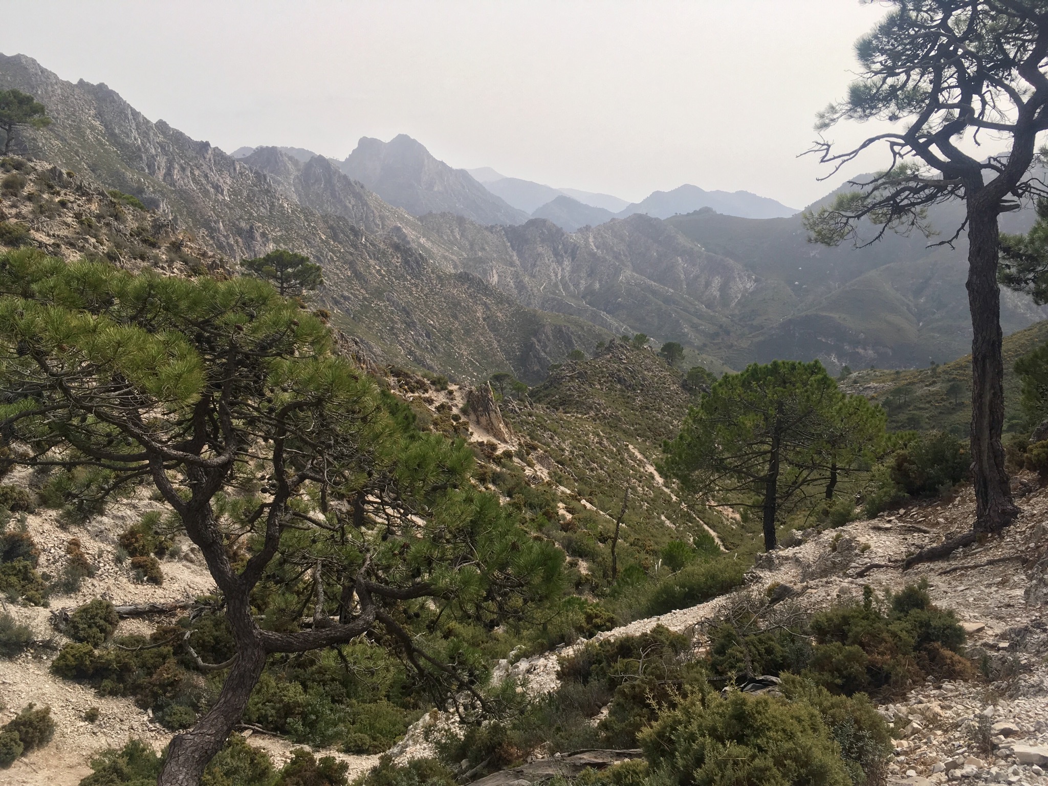
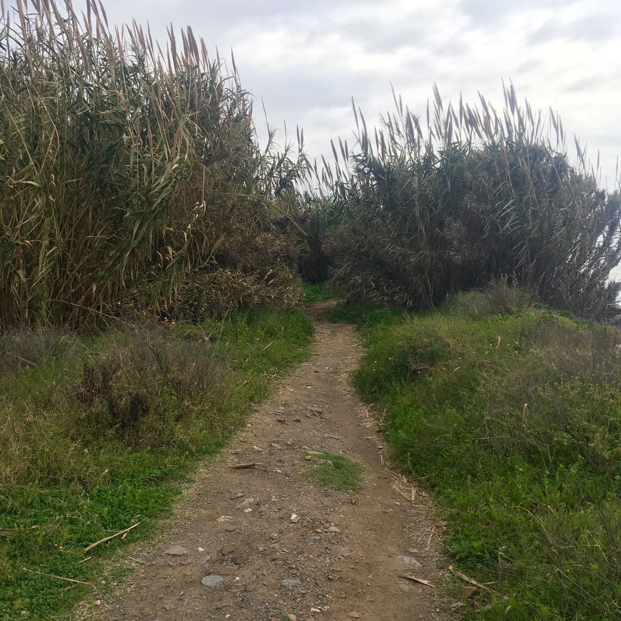
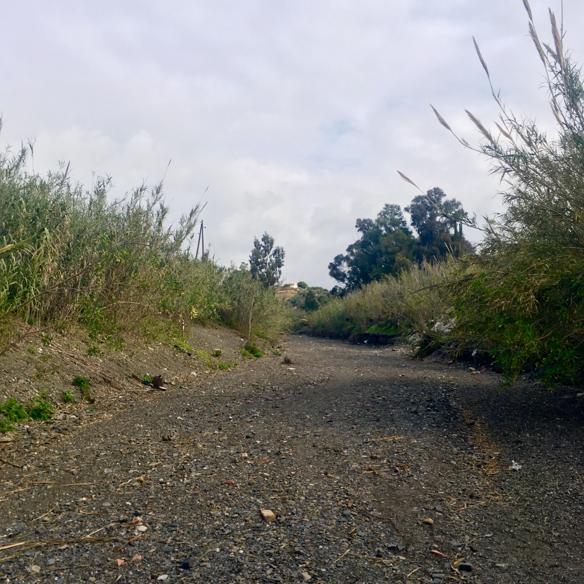
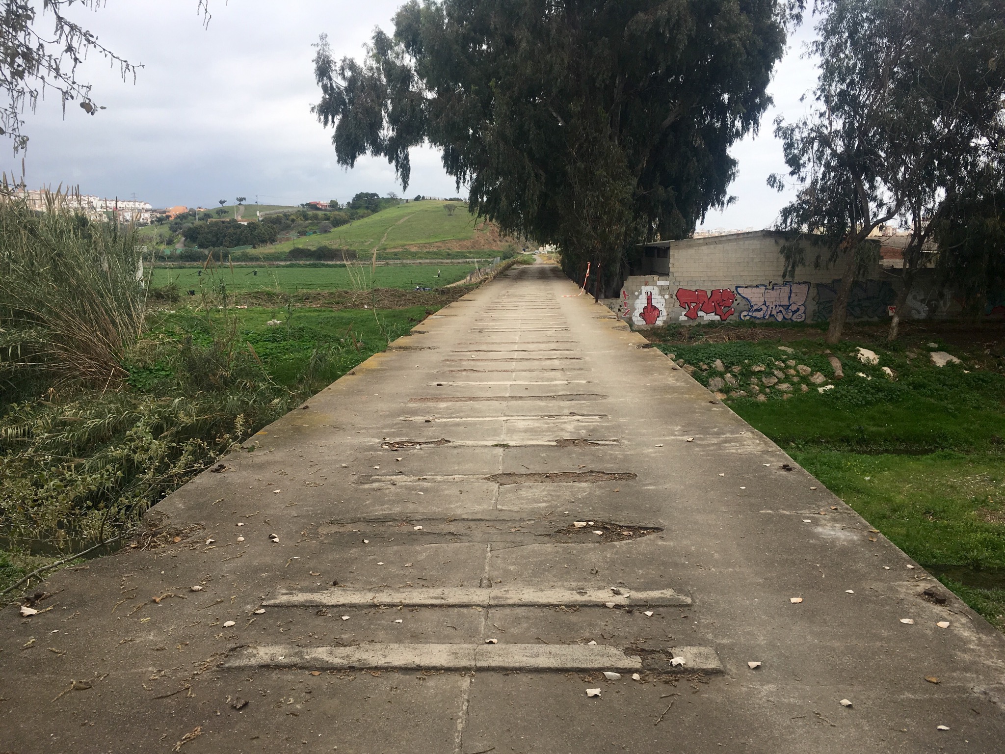
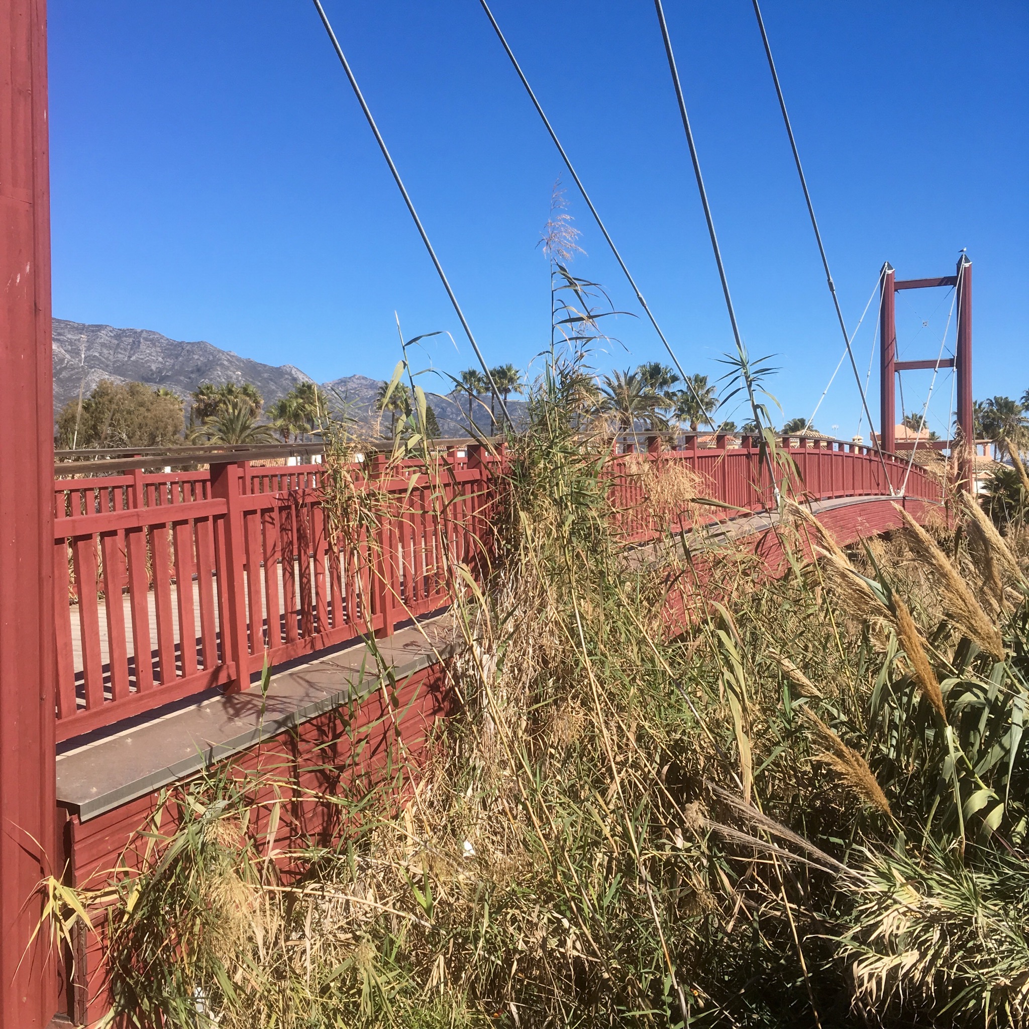
There are a lot of rivers and streams that make their way from the huge wall of mountain inland trying to get to the sea. Most form kind of lagoons on hitting the beaches and slowly filter through but others contain enough flow to make it and these are bridged by the extensive boardwalks.

IMG_8104.JPG
On the outskirts of Marbella more mansions appeared, or rather the walls and gardens surrounding them did.

IMG_8113.JPG

IMG_8111.JPG

IMG_8112.JPG

IMG_8105.JPG
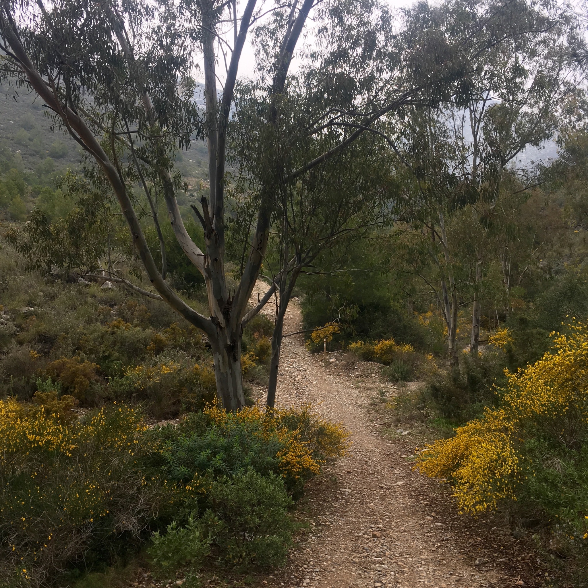
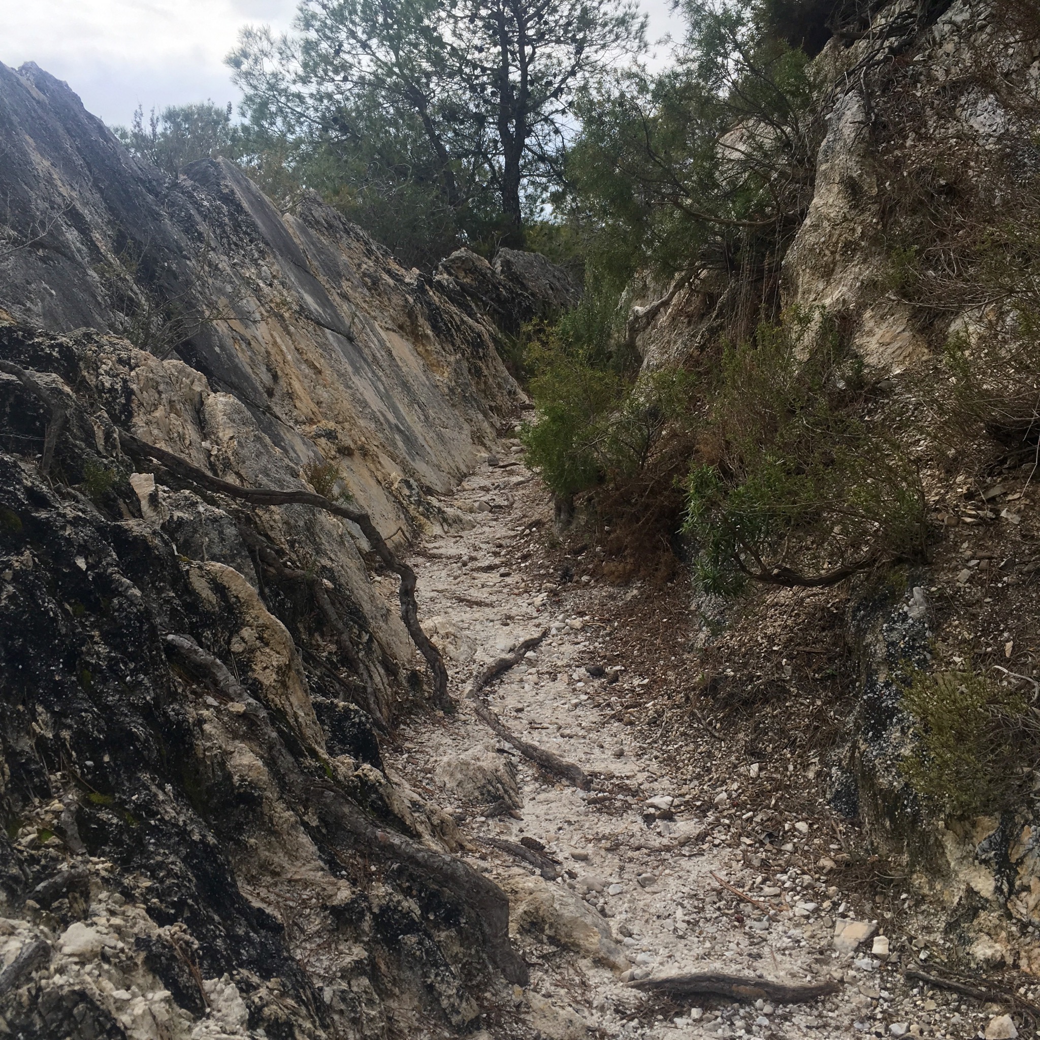
And suddenly a signboard for the next stage which led me up a landscaped path beside a stream with a deep bank displaying the trees roots.
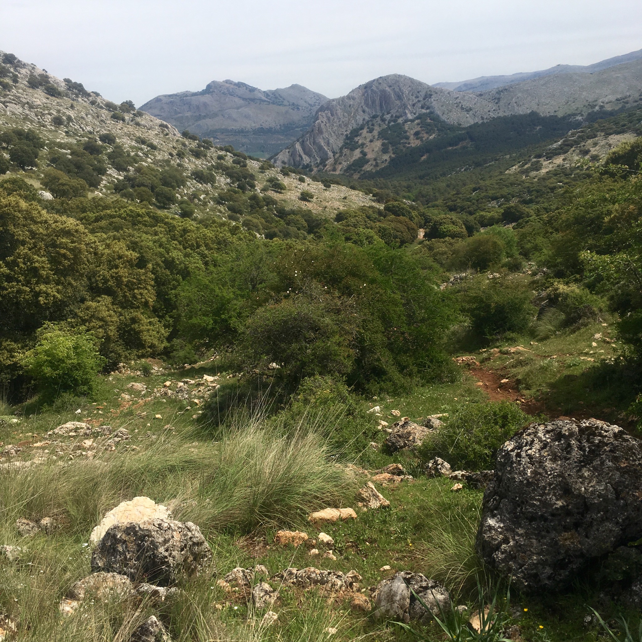
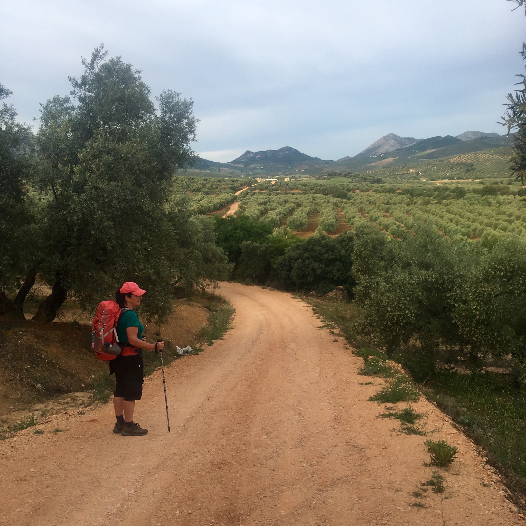
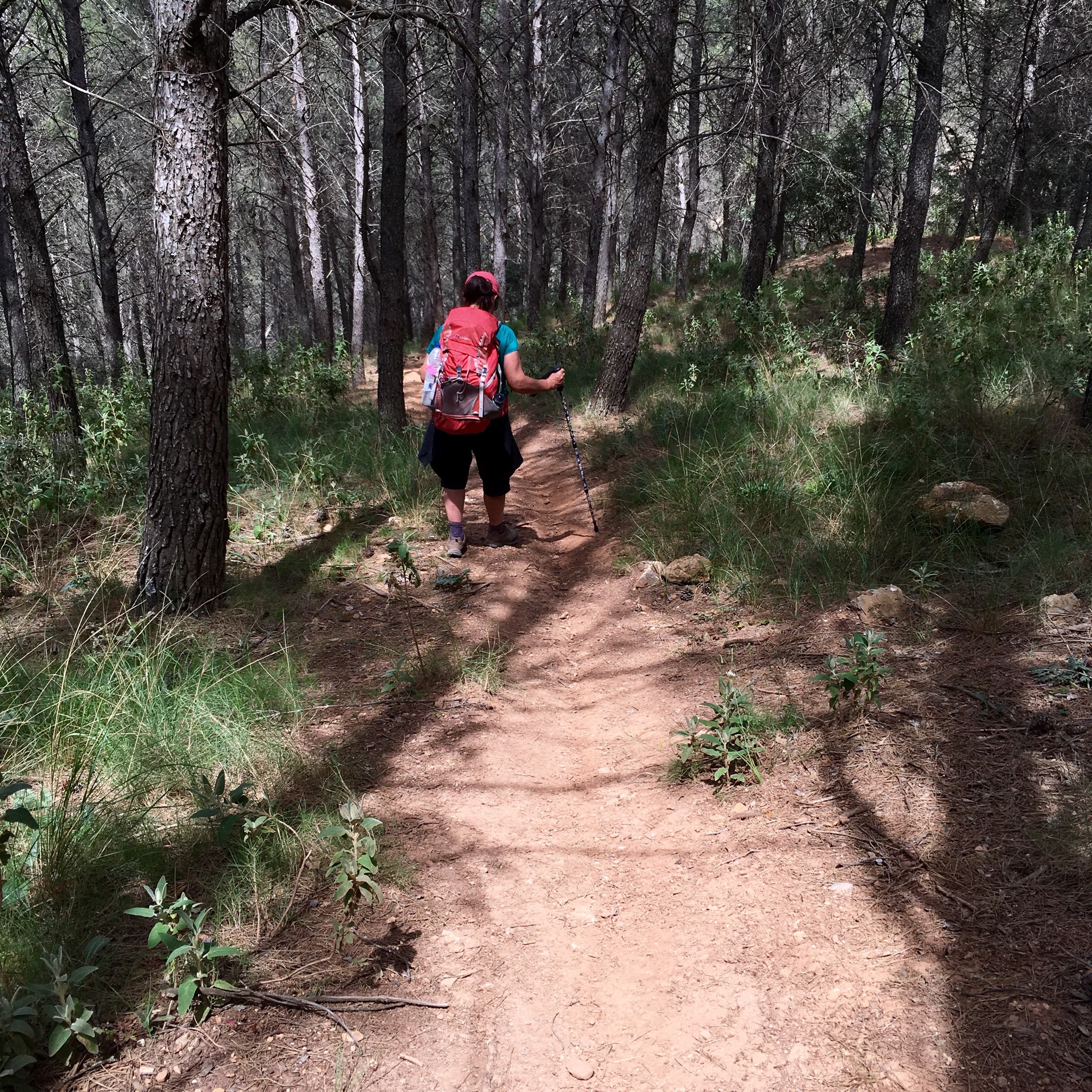
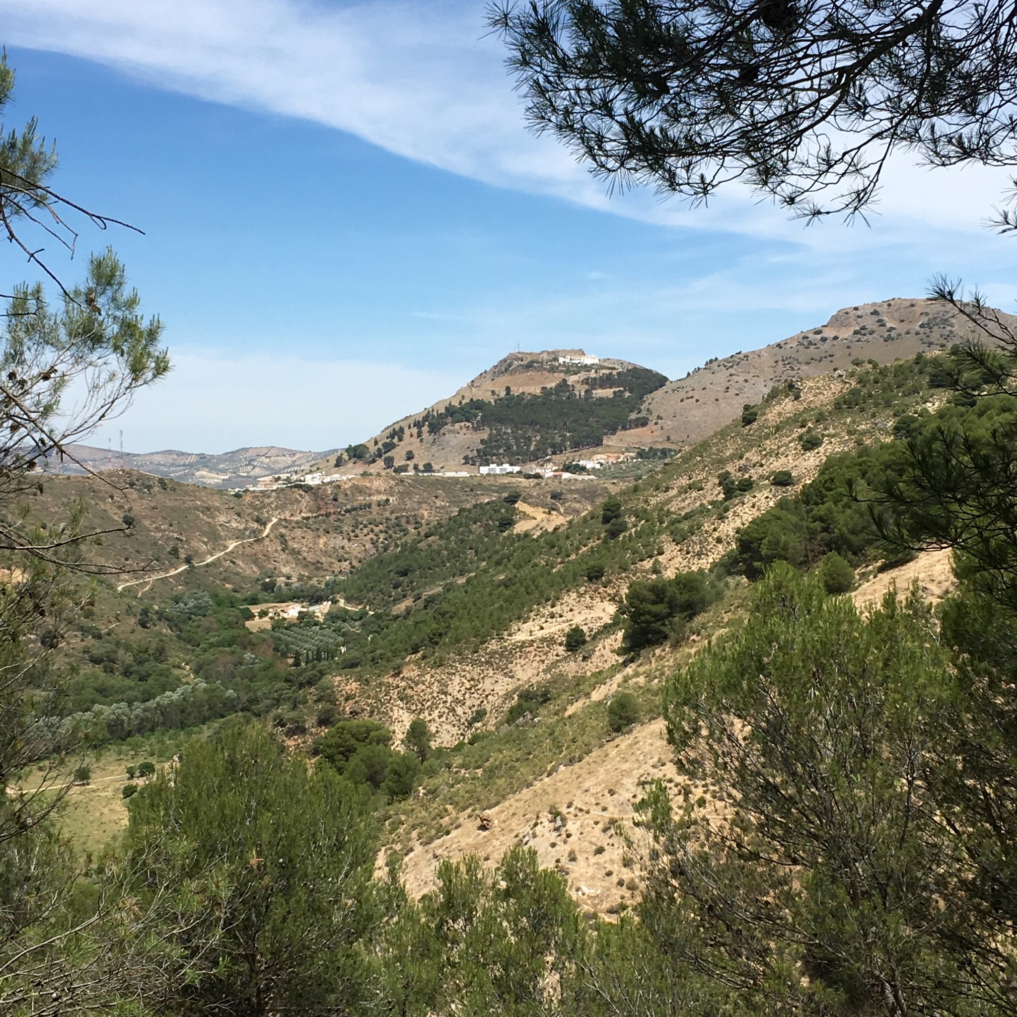
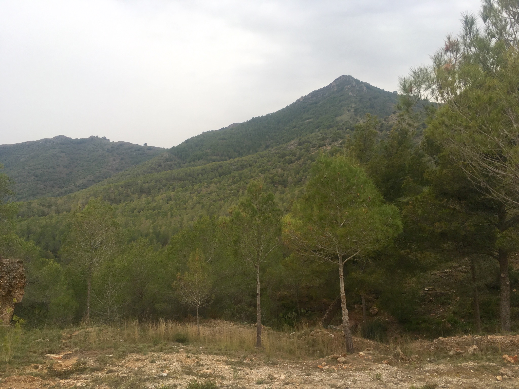
It had been a big change from the last few days but variety is the spice of life they say. I can’t say I won’t be glad to head for the hills again tomorrow though.
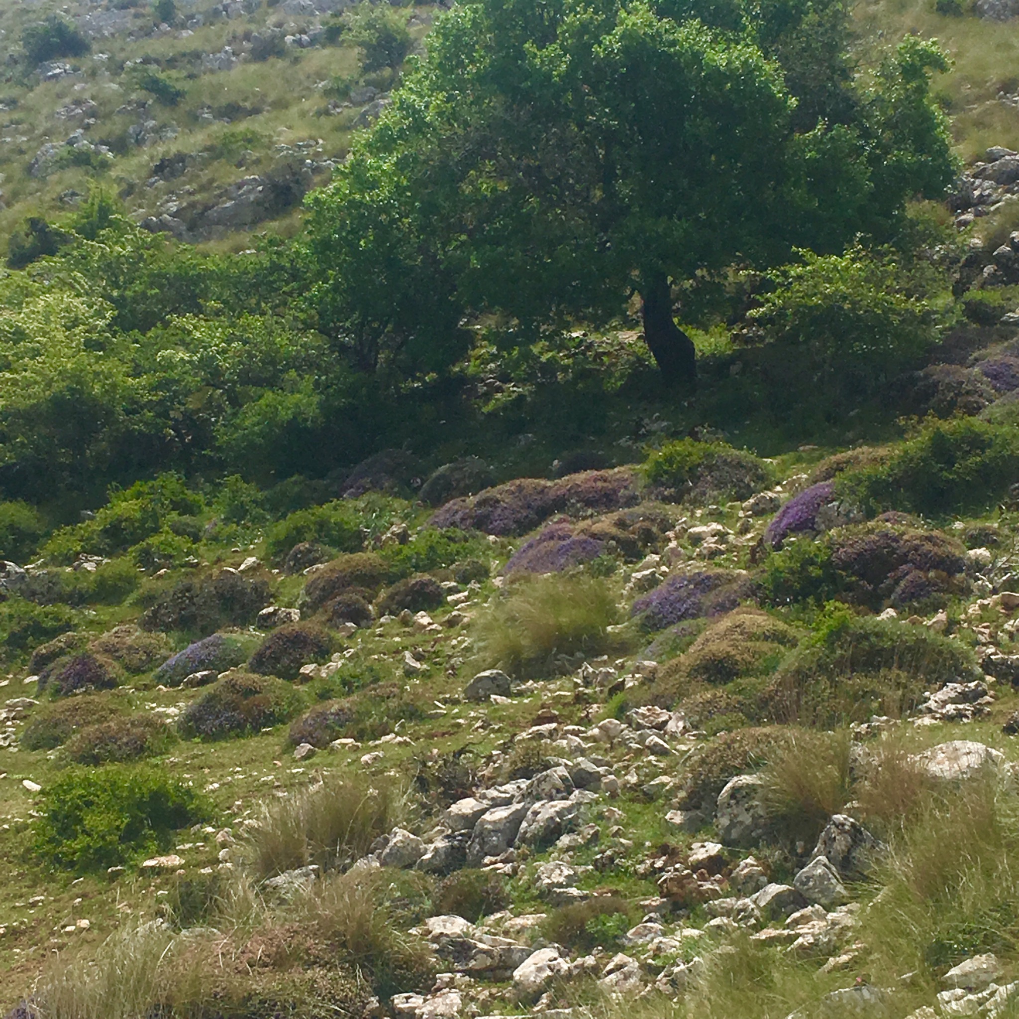
The grass is greener up there.

IMG_8118.JPG

IMG_8117.JPG

LA GRAN SENDA DE MALAGA: GR 249. 16/17th May. Alfarnatejo to Villanuevo del Rosario (22km) to Archidona (23km)

After a day off the trail we got a lift back to where we had walked to last time we were here together and promptly went off route somehow. Instead of a level hike around the hill between Alfarnatejo and Alfarnate we followed the path that went over the top of it. So we found ourselves looking down on the town we were supposed to be climbing into.

IMG_4177.JPG
After the huffing and puffing of the climb we needed coffee when we got down there and so we gate crashed what turned out to be some old folks day centre thinking it was a bar. They didn’t seem to mind, I guess we fitted right in.
It was a funny old town anyway

IMG_4179.JPG
and we moved on down the road surrounded by grain fields and poppies.

IMG_4182.JPG
We took a dirt track leading straight up the mountain ahead of us

IMG_4183.JPG
where traffic is banned and the rocky slopes are being planted with oak. The air was thick with the scent of Spanish broom and a wealth of wild flowers grew despite the dry conditions and an altitude of over 1100m. The views back over towards the south and the flat high plains were impressive.

IMG_4184.JPG

IMG_4185.JPG

IMG_4180.JPG
After cresting a pass and passing down through Aleppo pines we stumbled upon an old campsite, accessed from the north, that was now an outdoor activity centre with tree walks, zip wires and climbing walls.

IMG_4186.JPG

IMG_4187.JPG
There were signs of other outdoor activities in the shape of abandoned loud speakers and campfires.

IMG_4188.JPG
From here we began to climb to the ravine at Llano de la Cueva, the highest point at 1385m of the entire 660km GR249 route.
A delightful path led us up through woods of oak and hawthorn with more Aleppo pine and Spanish Terebinth to little fields cleared of stones where small herds of sheep sheltered from the sun.

IMG_4192.JPG

IMG_4189.JPG
There were the tell tale scuffling and rootling of wild boar too but no signs of the Ibex or Roe deer that live here.
We climbed past another old threshing circle marvelling at farming grain at 1200m. Looking eastwards from here we could see the empty quarter of the Central Limestone Arch and in the far distance, snow on the Sierra Nevada’s.

IMG_4196.JPG

IMG_4200.JPG
Climbing up out of the woodland towards the pass at 1385m it remained lush, with a plethora of colourful or spiky plants still roughing it out. There was also a stone construction we thought must be to catch water.

IMG_4199.JPG

IMG_4210.JPG

IMG_4208.JPG

IMG_4203.JPG

IMG_4202.JPG

IMG_4204.JPG
Pausing for lunch and self congratulations at the summit we looked westwards along the mountain chain, admiring the rugged splendour of it all.

IMG_4212.JPG

IMG_4213.JPG

IMG_4211.JPG

IMG_4207.JPG
To the north we could see our destination but had to follow a long looping track down past the Mirador de Hondonero and another picnic site and bird observatory.

IMG_4215.JPG

IMG_4218.JPG
There were big patches of Dehesa oak woodland and great spots for rock climbing like the imposing Tajo de Madera cliff face.

IMG_4222.JPG

IMG_4225.JPG
We arrived at the little chapel of our Lady of the Rosary just outside the town.

IMG_4229.JPG
After collapsing in the plaza for awhile with cold beer and crisps and shopping for dinner our kindly Air b+b host Gustavo picked us up and whisked us in minutes to a lovely old cortijo set in the olive groves.

IMG_4231.JPG

IMG_4244.JPG

IMG_4243.JPG
A restful night under the ancient beams and we were off down a track through the olive groves back to the village/town. The flowering is dramatic this year and I pity those with a pollen allergy.

IMG_4246.JPG

IMG_4242.JPG
A cafe con leche and tomate tostada set us up for our last days hike this trip. 23km to Archidona across a different landscape to the mountains so far.
We left the town by a gentle waterside path leading us through the huerta, a fertile area of crop growing.

IMG_4255.JPG
This was the humble beginnings of the mighty 166km Guadalhorce river and the path gradually moved away from it along a constant corridor of flowers.

IMG_4228.JPG

IMG_4257.JPG

IMG_4260.JPG

IMG_4261.JPG
Soon enough the surroundings moved from the poetic to the prosaic as we passed under the motorway to a landscape of abandoned developments and collapsing fincas.

IMG_4262.JPG

IMG_4267.JPG

IMG_4264.JPG

IMG_4263.JPG
But before long we were walking away from the mess of man and up into a wilder space, a big area of shrubby Dehesa with cistus and potentilla.

IMG_4269.JPG
It was a beautiful area and I could see why some obviously wealthy finca owners had chosen it to make their gardens and erect their tents.

IMG_4273.JPG

IMG_4272.JPG
Plain farming folk were here too with their sheep and goats, their grain and their oaks.

IMG_4278.JPG

IMG_4288.JPG

IMG_4279.JPG

IMG_4281.JPG
Some of the olives were looking pretty industrial level Corp.

IMG_4282.JPG

IMG_4286.JPG
We climbed higher, passed the olives, to an area where pines had been harvested from the steep hillsides after a fire.

IMG_4291.JPG
The view back was over the vast prison

IMG_4294.JPG
The view forwards was down into the Hoz de Marin and we climbed along its edge through the strangely coloured gypsum and clays.

IMG_4295.JPG
Before dropping steeply down through a pine forest on a track destroyed by mountain bikes.

IMG_4296.JPG
Our destination came into view between the trees

IMG_4297.JPG
and reaching the valley floor we crossed the river and walked along a lovely shady path before the last gruelling 100m ascent into town.

IMG_4298.JPG
We realised why the last climb had been such hot work when we saw 33• degrees on the thermometer sign.

IMG_4303.JPG
And so a few days rambling over we plan our return to Ireland and maybe our return to the GR 249.

IMG_4287.JPG

LA GRAN SENDA DE MALAGA: GR 249. 19/20th Feb Nerja to Frigiliana to Competa

The next 2 stages took me away from the hustle and bustle of the Costa and the busy A7 motorway and deep into the Natural Parque around the Sierra Enmedio.
The first, from the Nerja caves near sea level involved an ascent 765m over 15km and back down to 300m at Frigiliana. The second day was the toughest and last of the trip, climbing to nearly 1200m before dropping to 685m at Competa 27km later.
19th Feb
Leaving our park up in the grey blue steely light of the early morning there was still some moisture in the cloud covered sky. We had been forecast a lot of rain for the morning but it seemed to have run out overnight and I set out with my fingers crossed and waterproofs packed.

IMG_3095.JPG
It felt good to be finally heading for the hills but I was also aware that these mountains, though popular with walkers, are not to be underestimated and remembered a story of a German woman a few years ago who headed up this track for a stroll and got lost in the wilds for days before reemerging shaken and stirred.
The route started with a 5km gravel track to the picnic Area de Recreativo del Pinarillo and from there was mostly narrow paths over the wild and rocky terrain.
I joined a line of pine processinary caterpillars following their leader to a new lifecycle.

IMG_3097.JPG
The female of the moth lays hundreds of eggs in the pine trees which develop into caterpillars that build themselves cotton wool like nests and feed on the leaves- seriously defoliating them.

IMG_3103.JPG
The little critters have hairs with a very toxic irritant which are easily airborne and they can, if stressed, fire out like harpoons. Dogs getting them on their paws and then licking them have had to have their swollen tongues amputated to prevent choking to death.

IMG_3149.JPG
I passed by some of the caves in the riverbed below me, occasionally occupied by nature loving hippy types of which I saw no sign. The mountain slopes were filled with Alleppo pine, box, broom, juniper,fan palms and assorted and unknown to me, flowers.

IMG_3099.JPG

IMG_3168.JPG

IMG_3167.JPG

IMG_3101.JPG
At the slightly dilapidated picnic area I moved on to a path that wound its way down into a barranco before starting the climb to the Collado Apretaderas, my high point of the day.

IMG_3137.JPG
The clouds that dropped some light spittle on me roved around the peaks as I passed the first of only 2 people I saw all day.

IMG_3139.JPG

IMG_3138.JPG
A little later I disturbed a mother ibex and her young kid who quickly scrambled away into the bushes.

IMG_3142.JPG
Fine views opened up

IMG_3145.JPG before I descended steeply through the thick vegetation

IMG_3147.JPG passing the impressive canal del chillar which cuts a gash for 6km across the mountain carrying the lifeblood of the crops on the Costa and energy for electricity production.

IMG_3151.JPG
A 200m drop took me down to the river Chillar itself which, after the nights rain, I was glad to see easily ford able.

IMG_3156.JPG
All the calcium in the Limey water left Tuffa deposits and strange colouring to the riverbed. The next 4km were a series of ups and downs, passing rocky outcrops,

IMG_3158.JPG dramatic ridges,

IMG_3162.JPG stony tracks,

IMG_3163.JPG

IMG_3164.JPG and wide open vistas.

IMG_3160.JPG
There was now more Maritime pine with beautiful coloured bark.

IMG_3166.JPG and I passed the first of many lime kilns in the area.

IMG_3171.JPG
Eventually I saw the gorge of the Rio Higueron below me

IMG_3175.JPG
And clambered down to walk along the river bed

IMG_3180.JPG and into Frigiliana where I carried on for a couple of km to find Trevor and a camper park up for the night overlooking the hills now dotted with a multitude of villas and farmsteads.

IMG_3186.JPG
20th Feb
Up early to tackle the long stage to Competa I started on the 18km slog uphill to Collado de Los Hornillos. From there it would be kinda levelish for 6km and then a steep descent for the final 4km or so.

IMG_3184.JPG
Having left the houses behind I was now on a track leading to the “lost village” of El Acebuchal where the inhabitants many of whom were guerilla fighters in the civil war were driven out by Franco’s men. It lay abandoned for decades until about 20 yrs ago when settlers and some of the original families started to return. It is now a beautifully restored village in an awesome setting with what is reputed to be the best bar/ restaurant in the area.

IMG_3205.JPG

IMG_3200.JPG
From there I followed a stony riverbed

IMG_3207.JPG through thick undergrowth

IMG_3210.JPG to reach the first ancient ventas or rest houses that lined these old transport routes

IMG_3211.JPG
The walls of rammed earth still showed the put holes for timber beams.

IMG_3212.JPG
The whole area was thick with flowering rosemary and the buzzing of bees and I passed many hives.

IMG_3216.JPG
The ridges of the hills were often laboriously cleared of befits toon to create firebreaks in this highly flammable environment.

IMG_3221.JPG

IMG_3219.JPG
Deep into the hills were the remains of remote fincas perfect for the off grid survivalist.

IMG_3224.JPG

IMG_3227.JPG
The cortijo del daire’s terraces still had old cherries, walnuts, figs, olives and pomegranates.

IMG_3236.JPG
After passing the farm I was signed up a steep and narrow path

IMG_3238.JPG through prickly gorse

IMG_3240.JPG leading to evermore impressive vistas

IMG_3241.JPG as it led up to the highest point of my trek.

IMG_3245.JPG
The beautiful path took me on a meandering course through maritime pine

IMG_3249.JPG past more ventas

IMG_3250.JPG complete with lime kilns

IMG_3251.JPG and threshing circles

IMG_3252.JPG and along a ridge with views back over my day’s journey.

IMG_3260.JPG
The walls of the Cortijo Maria Dolores told the tale of years of occupation in layers of lime wash built up on the stone walls.

IMG_3261.JPG
Passing beneath a fire lookout station I was soon confronted with the importance of their work. A huge area of burnt and denuded hillside

IMG_3266.JPG on the outskirts of Competa

IMG_3269.JPG where the warren of steep narrow streets brought me down passed many pretty properties much sought after by foreign buyers.

IMG_3271.JPG

IMG_3273.JPG

IMG_3272.JPG
At the edge of town I reach the end of my trip on the GR 249 and a cold beer in the camper.
A very varied few days hiking that only wetted my appetite for more, although it’ll be tougher without the support of Trusty Trev.

LA GRAN SENDA DE MALAGA: GR 249 16/17th Febuary Malaga to La Caleta de Velez

A little while ago when we were hiking a bit of the GR 7 in southern Spain, we discovered we were also on the GR 249. A bit of research showed that this was a new route that circles the entire Malaga Province, a distance of around 660km. Very tempting.
Although I’d have loved to set out to do the whole thing over a month responsibilities did not allow such wanton walking but I have managed to slip away for a week to tackle the first 120 km or so.
After a night trying to sleep on a bench at Dublin airport McDonalds and an early morning flight I arrived into a barmy 17′ degree and made my way to the seafront where I had to walk about 5km west to get to the start of the grand circle at a bizarre sculpture.

IMG_2926.JPG

Immediately turning on my heels I returned eastwards along the prom, my anal instincts for starting at the beginning satisfied. It was a fairly blowy day and the waves were crashing on the seashore while people watched and surfers retreated.

IMG_2918.JPG

IMG_2916-0.JPG
The first days hike took me about 20km eastwards, all of it along the coastline, past the marina,
the old brick chimneys and the Pomidou centre.

IMG_2929-0.JPG

IMG_2928.JPG

IMG_2931.JPG
All along the prom for miles I past the enticing smell of woodsmoke and grilled fish from the string of beachfront chiringuitos but the urge to keep going towards my rendezvous kept me from indulging.

IMG_2933.JPG

IMG_2935.JPG
Moving out beyond the city limits the surroundings became a little wilder.

IMG_2938.JPG
I found myself on the old Malaga to Almeria train track and past through a number of tunnels on the now pedestrianised greenway.

IMG_2940.JPG

IMG_2950.JPG

IMG_2941.JPG
Eventually I came to the outskirts of Rincon de la Victoria where another few Kms of prom brought me to where my friend Trevor had his support vehicle camper wedged in between a bunch of others on a patch of waste ground.
After a long day and night the food and drink and general hospitality were most welcome and set me up handsomely for a continuation of my seaside ramblings the following morning.
After a couple of hours along the coast, sometimes on the beach , sometimes on little paths and sometimes on the side of the busy N340, the route turned inland along rutted tracks through the vegetable fields.

IMG_2954.JPG

IMG_2964.JPG

IMG_2959.JPG

IMG_2977.JPG
I went from an area resplendent with exotic plantings to one far more prosaic.

IMG_2969.JPG

IMG_2970.JPG

IMG_2956.JPG

IMG_2967.JPG
This was part of the intensive cultivation zone that feeds the habit of Northern Europe for summer veg in their depths of winter and that was supposed to have failed recently leading to shortages and panic buying.
There was no signs of it here although the methods and suspected chemical additives were a little unnerving to this organic smallholder.

IMG_2981.JPG

IMG_2978.JPG

IMG_2996.JPG

IMG_2995.JPG
Arriving back at the coast I found myself surrounded by a failed development at Niza Beach where abandoned plots and dumped rubbish were all that was left of property dreams.

IMG_2983-0.JPG

IMG_2987-0.JPG

IMG_2986-0.JPG

IMG_2988-0.JPG
After a while I was back on the old railway line passing a station and bridge across the arroya before passing under the motorway, skirting an obscenely green golf course and more colourful chemical avocado plantations.

IMG_2994-0.JPG

IMG_3004-0.JPG

IMG_3005-0.JPG

IMG_2992-0.JPG
I’d arrived at La Caleta de Velez after moving on beyond the days stage end at Velez Malaga ,hoping to shorten some long climbs ahead.
I met trusty trev and we parked up on the seafront, wined and dined with old friends before retiring with the sounds of the waves soothing us to a state of unconscious.