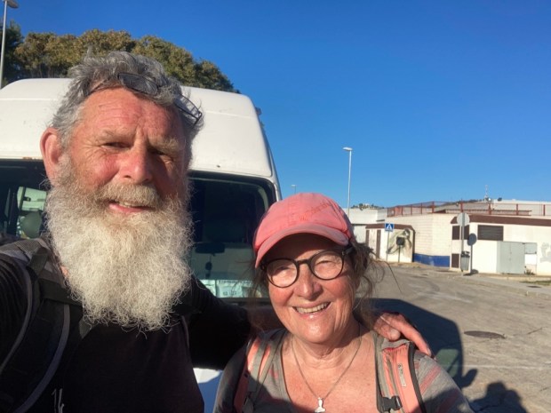
It’s been 10 years since I first wrote anything on the Ramblingman blog and this is the first post published this year.
Strangely,in the last year, without a post, the website has been visited far more than in any other- I wonder what that says!
Perhaps that the writing and stories are timeless or non topical, non linear. The posts can be treated as individual reports on rambles throughout a decade- and as such I have decided to keep the site going after I have taken that One Step Beyond.
Which I will be soon enough. Over 2 years into a 1-2 year prognosis for terminal lung cancer my step counter is well and truly defunct. A stalled statistic on a once soaring scale.
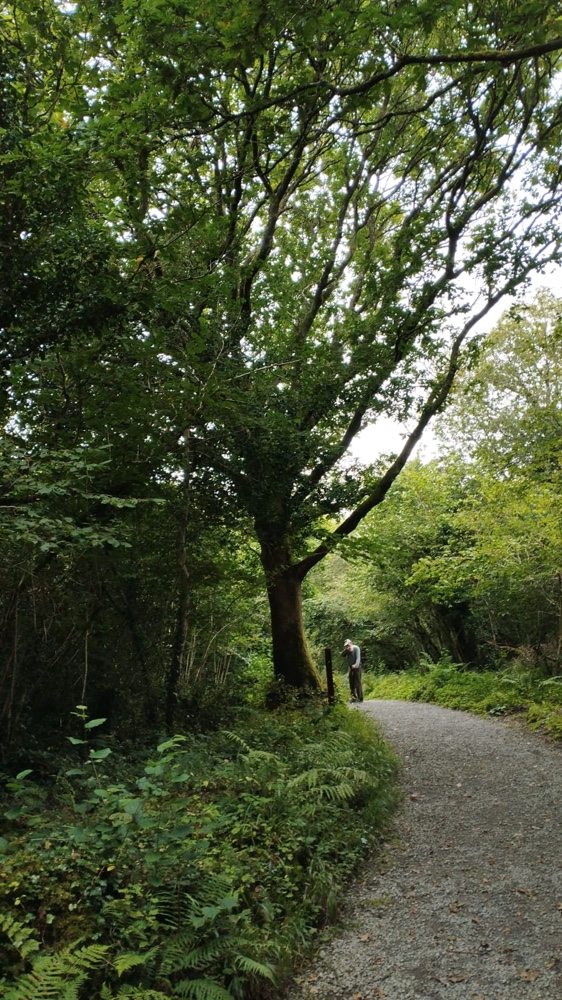
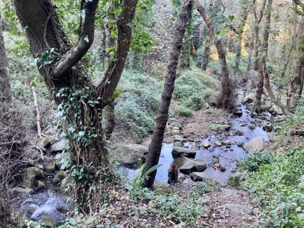
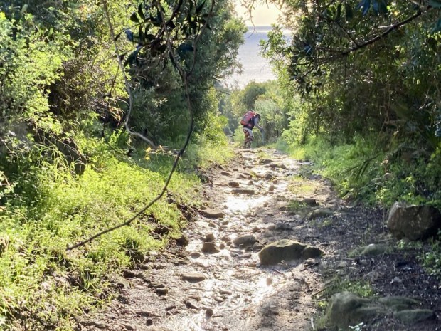
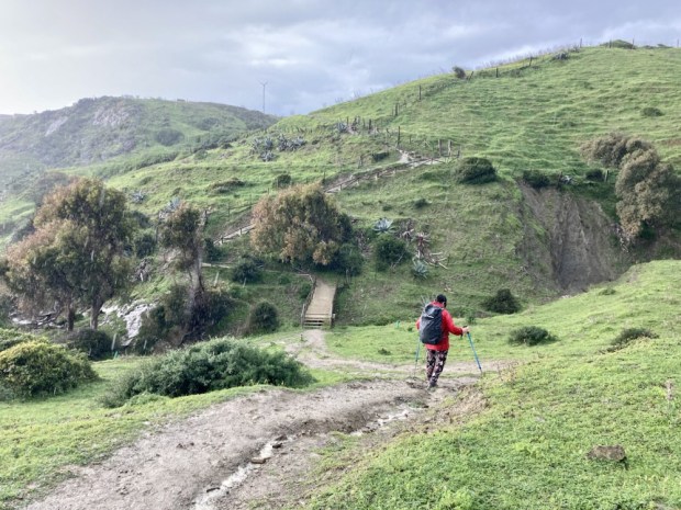
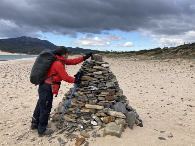
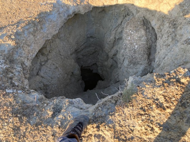
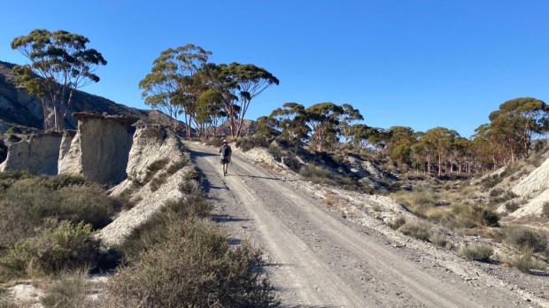
Still, I thought I would post about some tiny traces my feet have made throughout my final rambling year, for old times sake.
I hope some people still get value from reading the decade of posts I’ve made. I’ve loved every walk and they instilled a deep love and connection with the natural world I journeyed through. I cannot encourage people enough to put on their boots and explore- while they can.

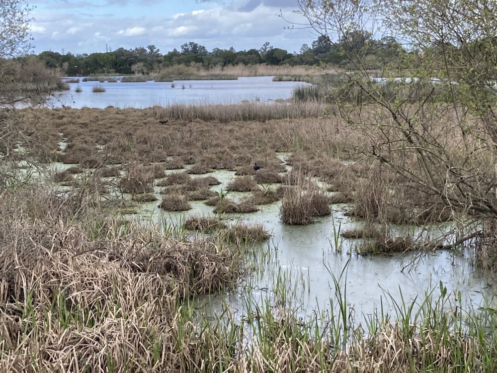
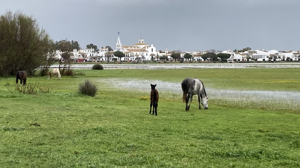
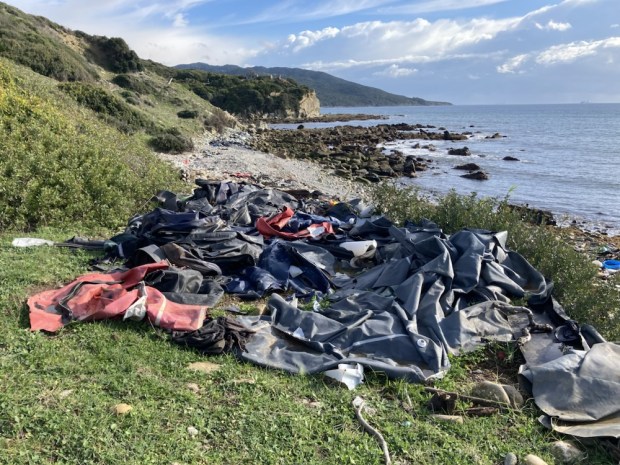
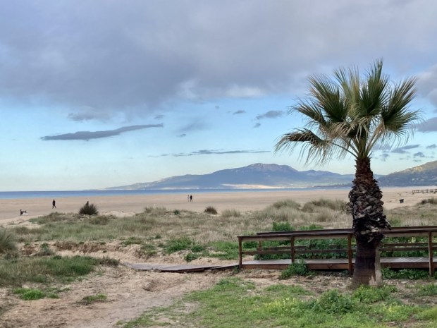
Back in February we went to the Donana Natural Park south of Huelva on the Costa de la Luz. This is southern Europe’s greatest marshland wildlife reserve, a vitally important habitat for a host of migratory birds in particular. It has suffered tremendous environmental problems over decades from a massive chemical spill in 1998 which saw the park closed to visitors to years of over abstraction of water to feed the mushrooming soft fruit farms crowding in around the Rio Guadalquivir causing widespread drought. For centuries the whole area , and the multitude of fauna and flora adapted to it, had been protected as a royal hunting preserve with a rich tapestry of livelihoods wrung from the land by those living there. Charcoal and wood products from the pine , as well as nuts. Baskets from reed and thatch. Fish farming, honey production, cork from oak, resin and turps, mushroom gathering, rabbit and deer shooting, salt production- a long list.
Ironically the water levels have been revived by the terrible flooding that struck areas of Andalusia in October and a number of tighter environmental laws have restricted the encroachment of the strawberry farms.
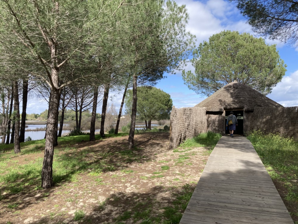


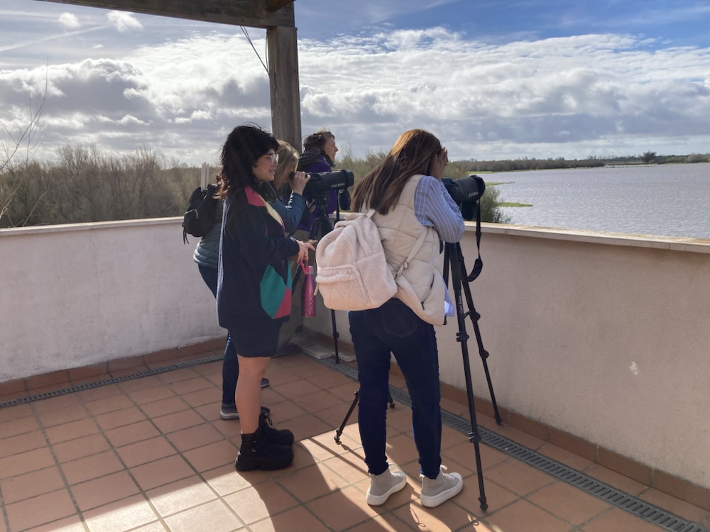
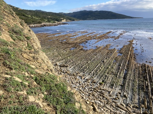
There are three main visitor centres around the park with trails leading off to hides from which to watch the bird life and sandy tracks down to the wild coast.
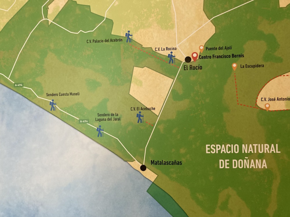

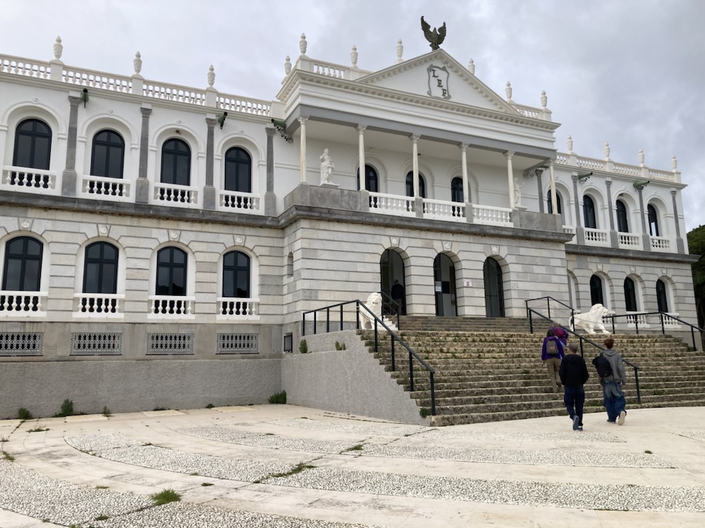


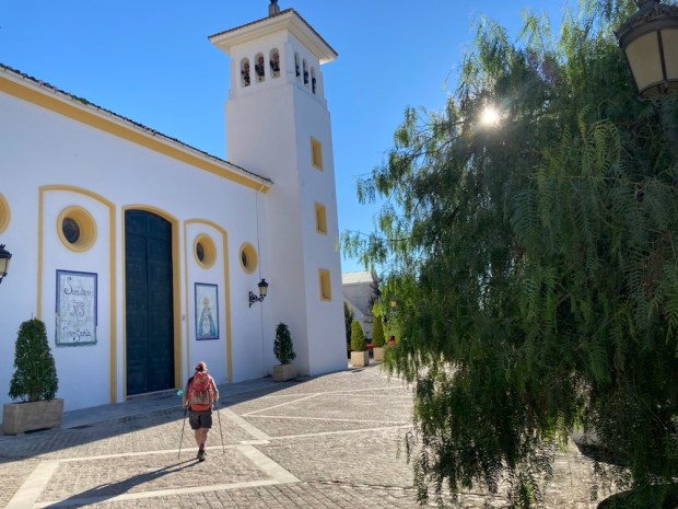
Another interesting town in the area is El Rocio, a tiny wildwest style village whose population swells to hundreds of thousands during the pilgrimages in Pentecost, the biggest in Spain. From the 1400’s hoards have been arriving here in ox or horse drawn covered wagons for days and nights of celebrations.
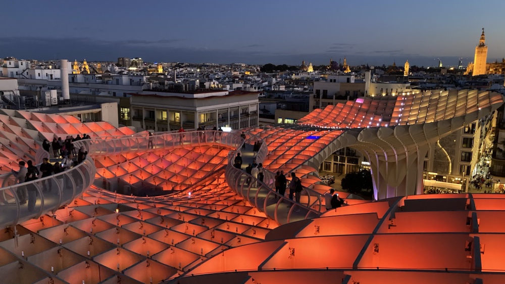
The following day, my birthday, we moved from a hippy campsite bell tent in the marshes to cultured Seville city centre.


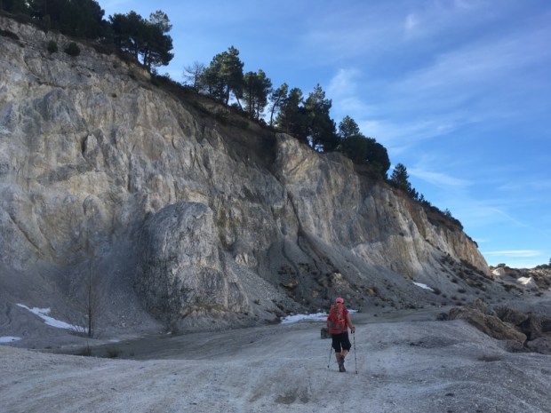
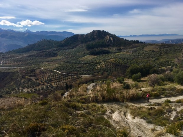
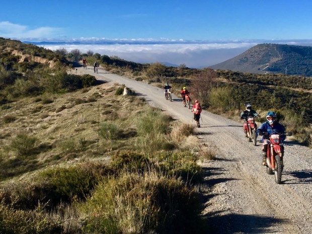
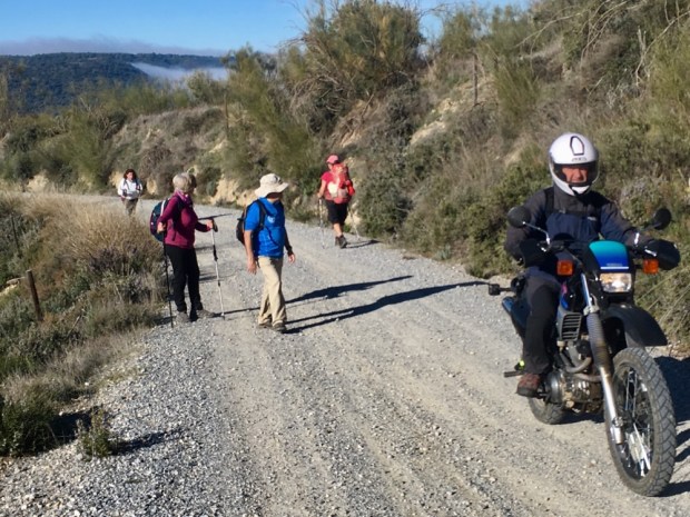
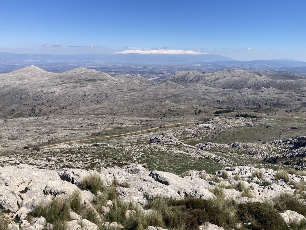
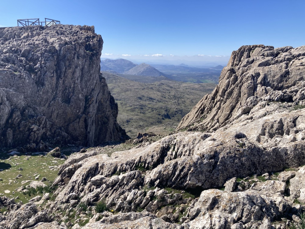
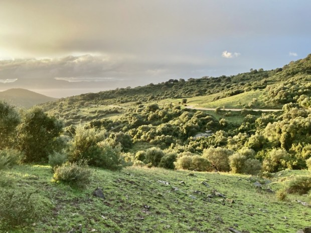
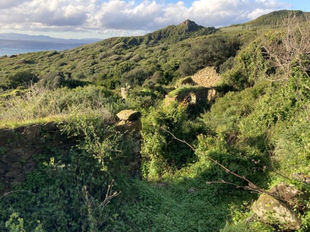
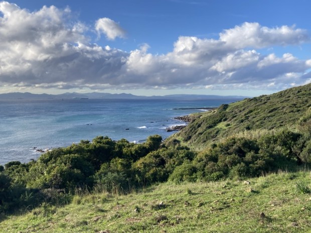
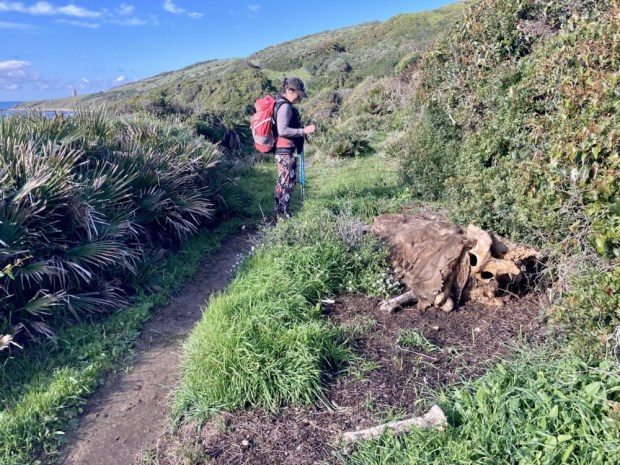
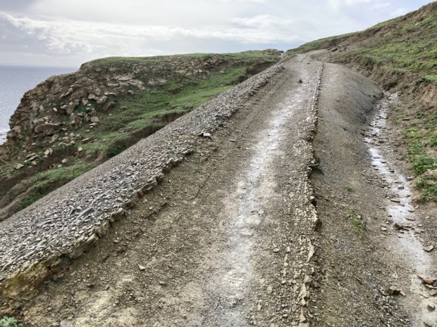
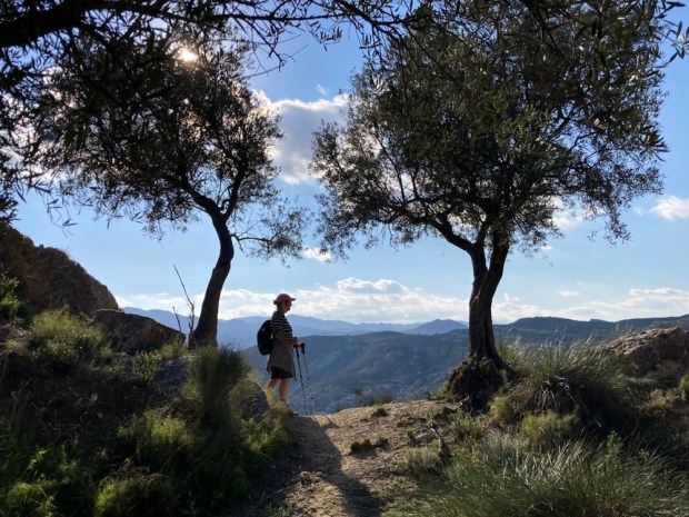
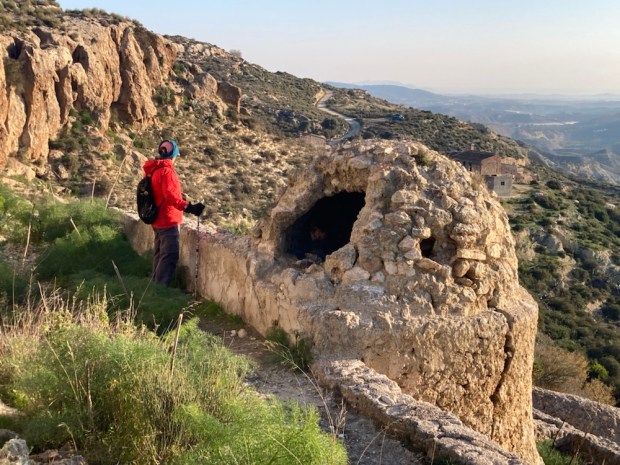
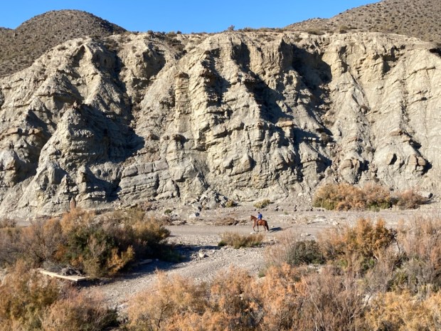
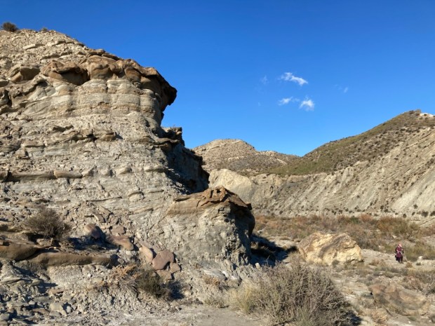
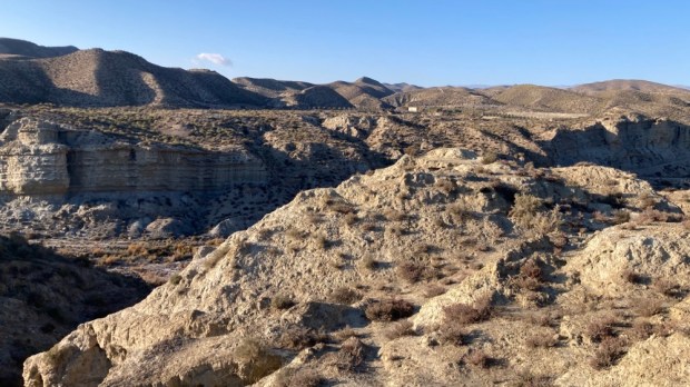
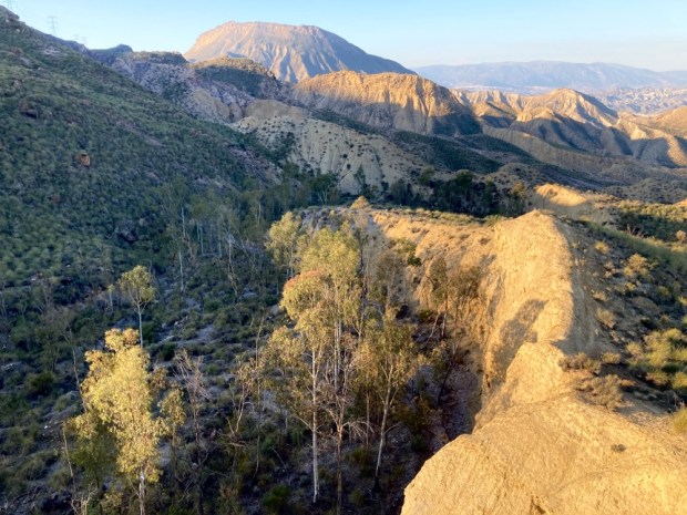
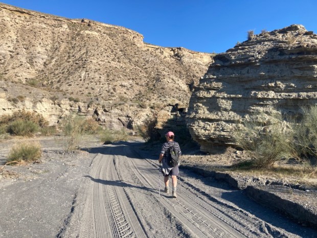
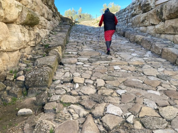
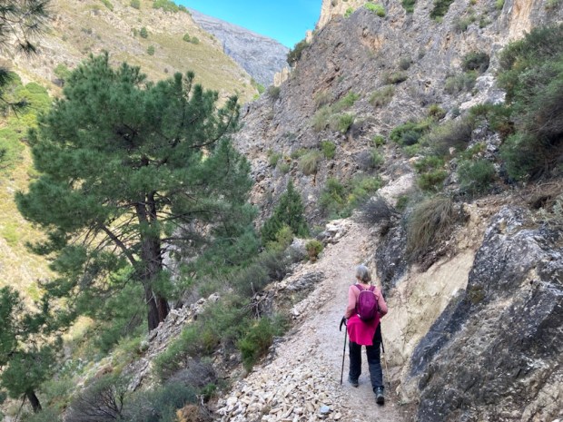
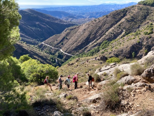
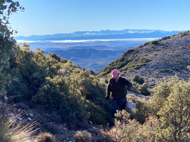
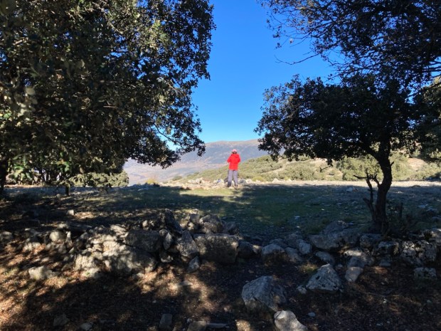
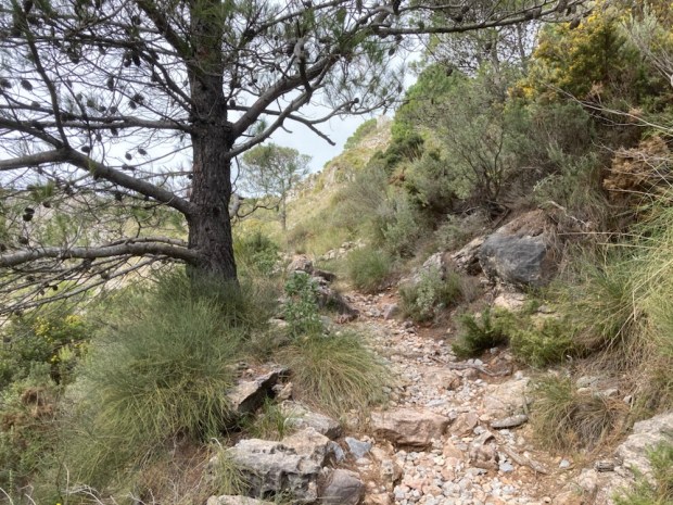
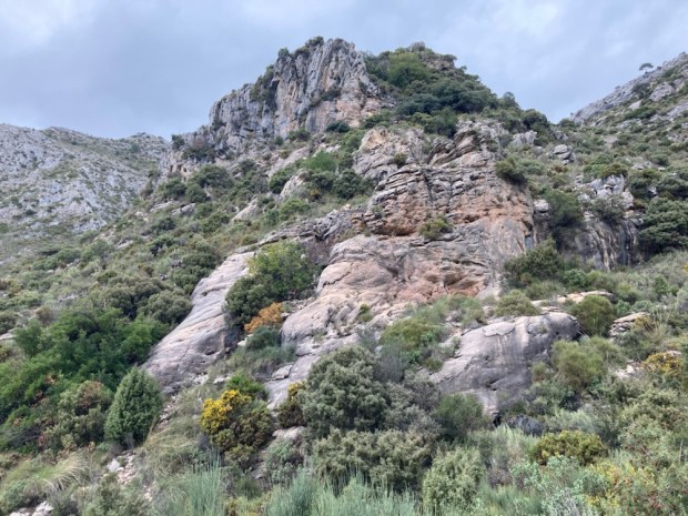
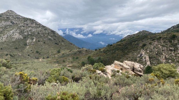
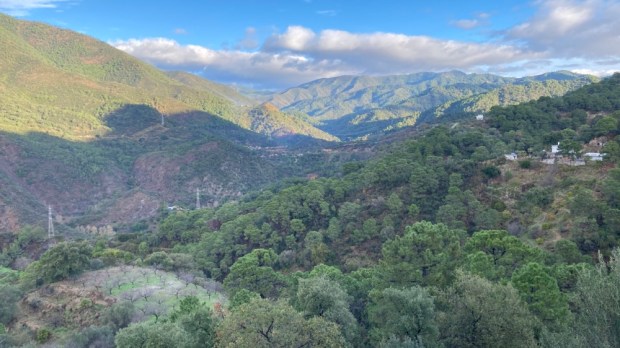
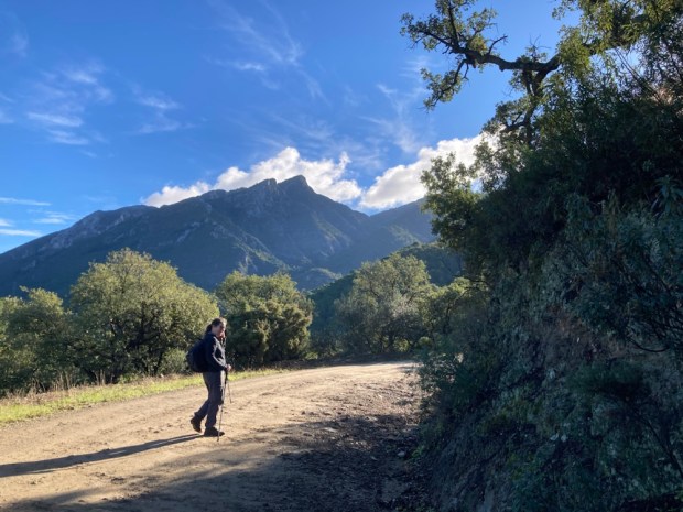
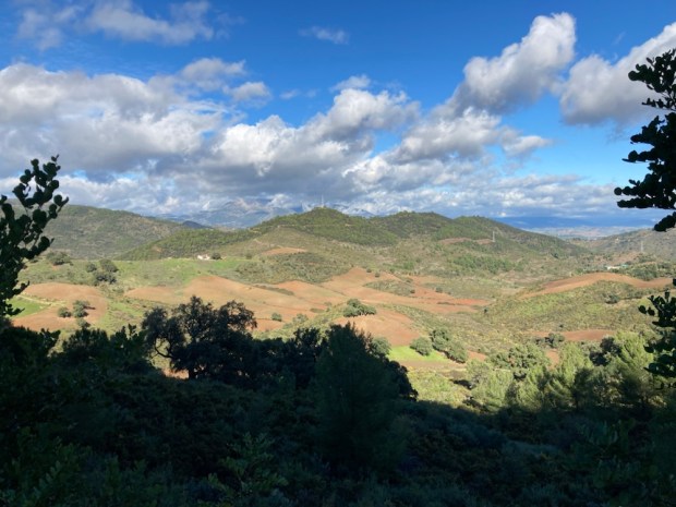
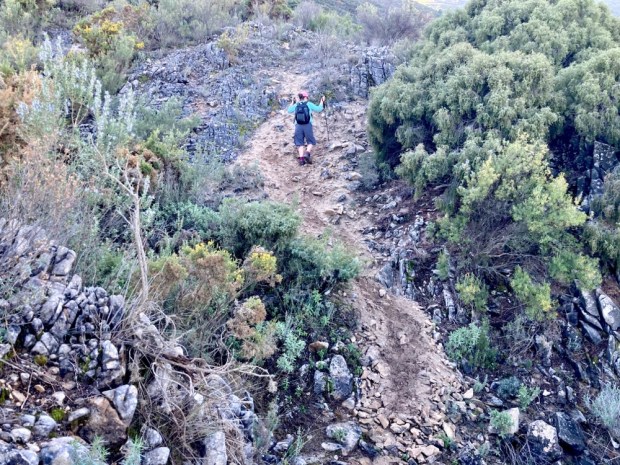
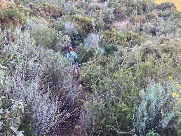
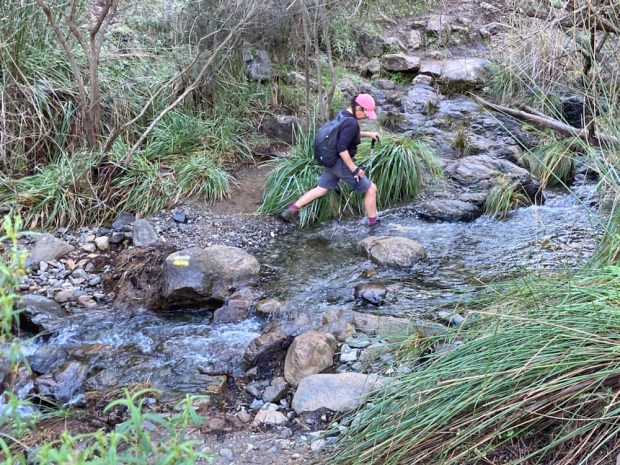
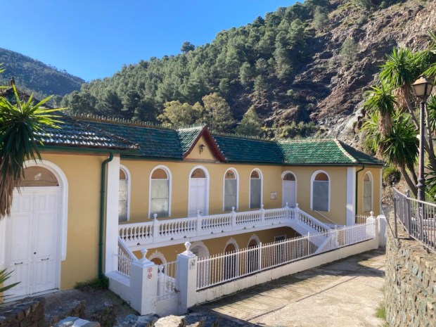
A couple of days later we were exploring the high limestone area in the mountains south of Loja in the Sierra de Tejada. Spectacular track to reach spectacular views with a Via Ferrata climbing route thrown in.

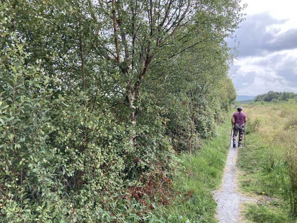
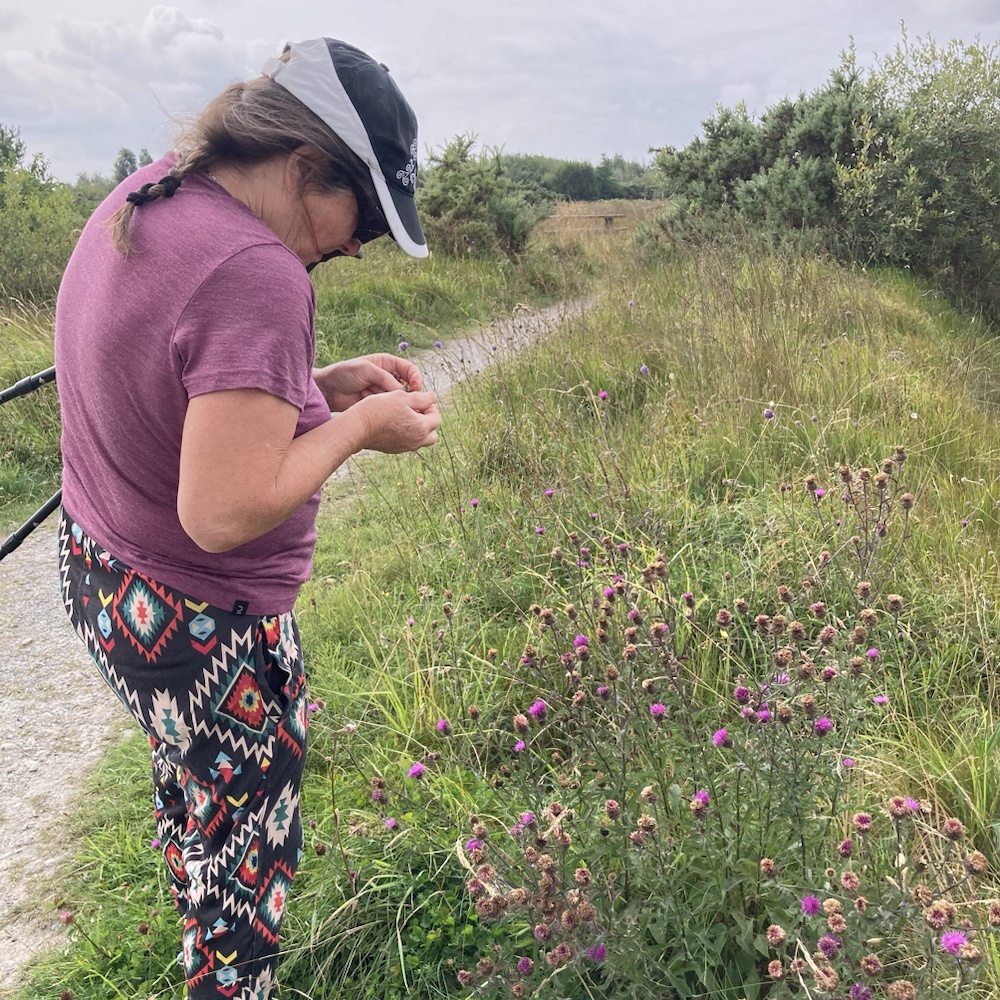
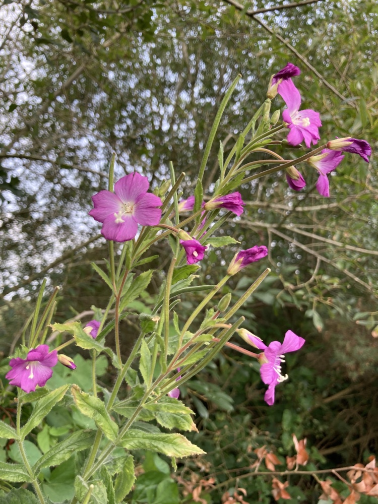
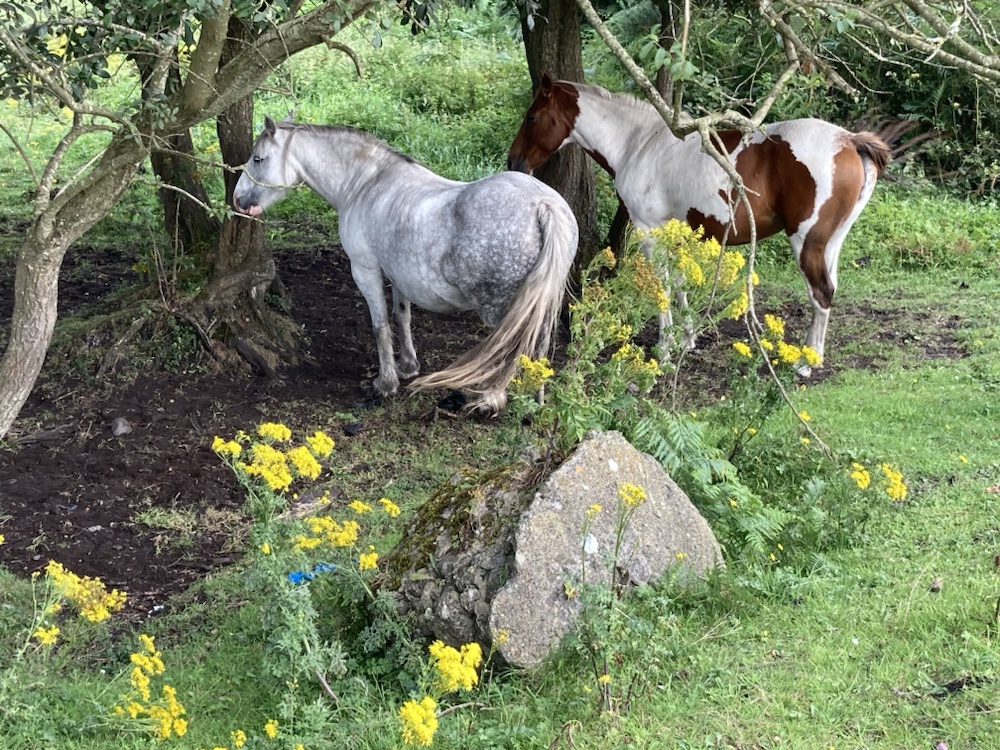
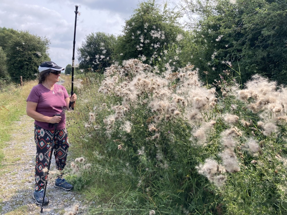
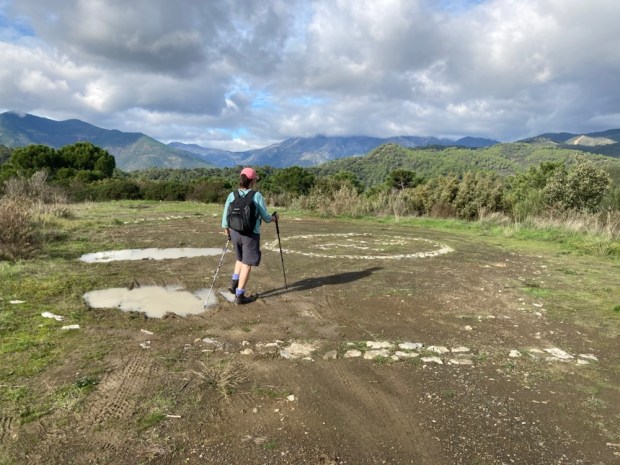
Back in the Irish summer we took advantage of an August hot spell to explore a couple of walks in the bogs of the”Hidden Heartlands” around the Horse and Jockey in Tipperary. First up was the Littleton Labyrinth area of cycle and walkways,a project designed to create employment and public amenity on what was peat producing Bord na Mona land and is now in transition to green industry.
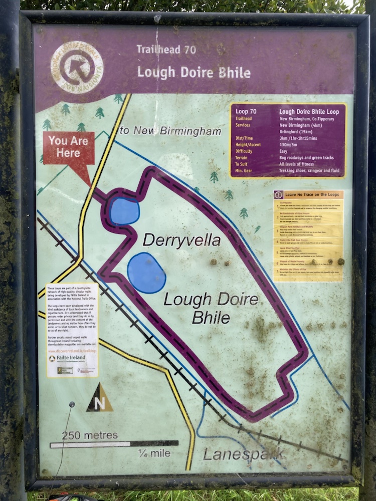
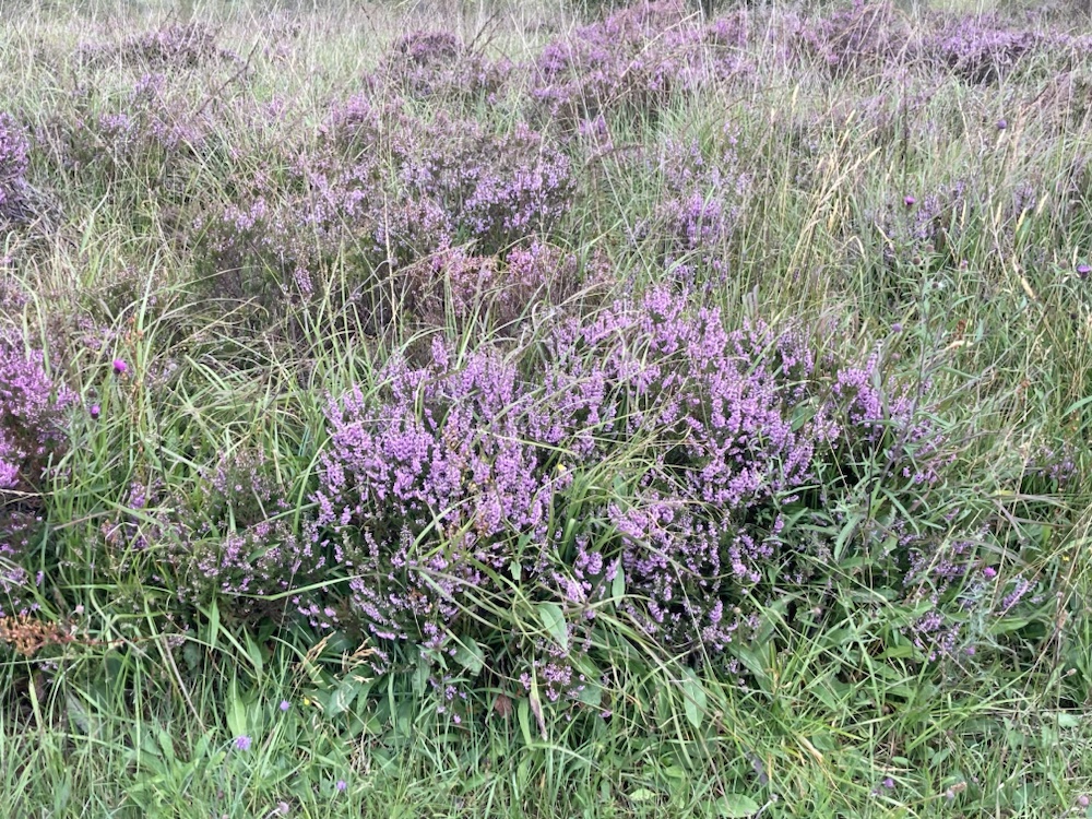
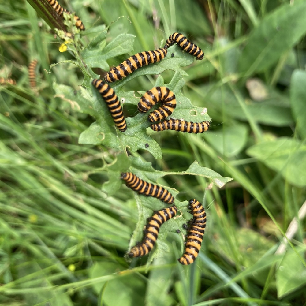
The Derryvella site offered a fine walk through restored bog rich with wild flowers and alive with the buzzing of pollinators.


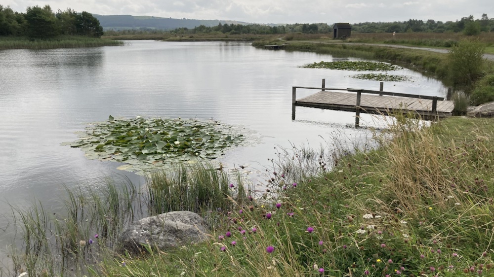

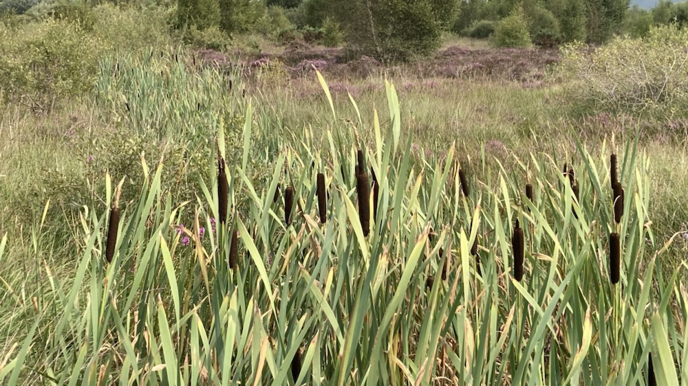
A little distance away was another network of old bog railway line , known as the Loony Line, for years a park up of the horse drawn wagons of New Age travellers and now returned to a tranquil route to the ancient site of Derrynaflan church.


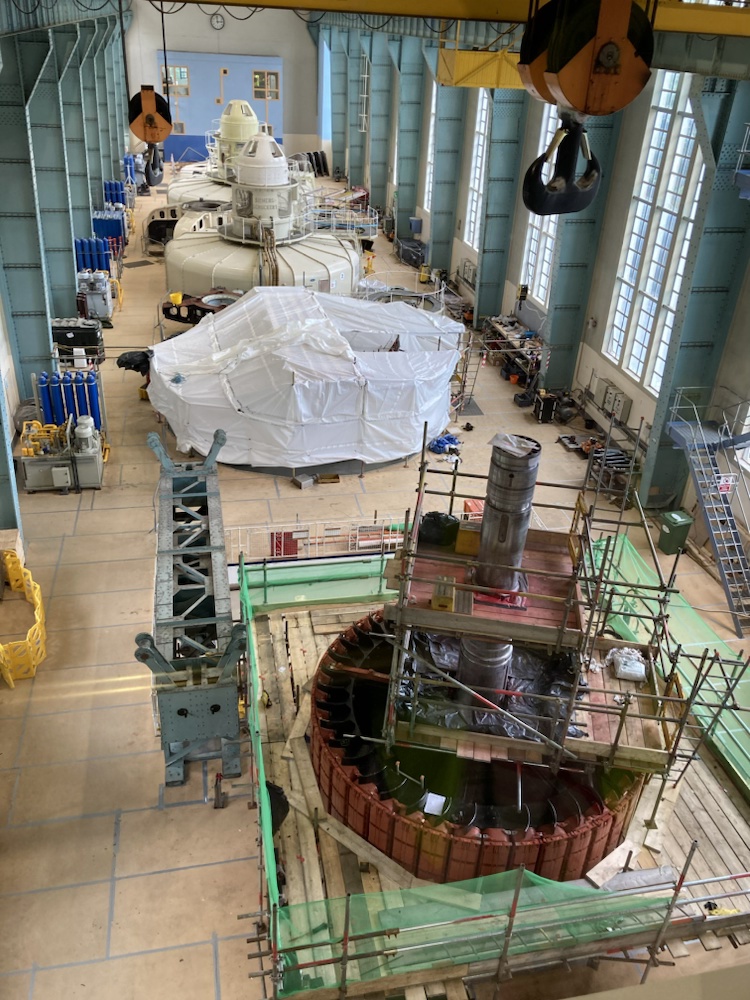
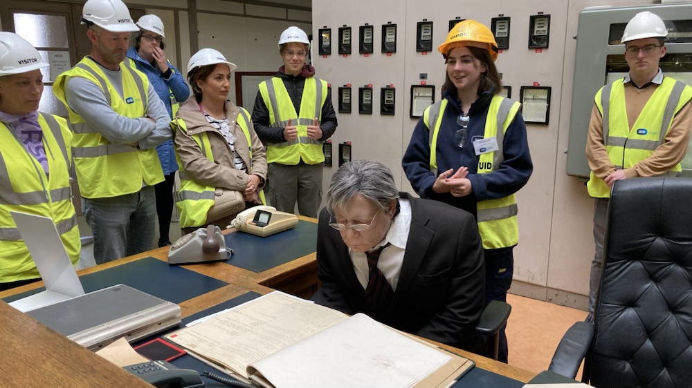
Next up was a little tour of Ardnacrusha hydroelectric power station during Heritage Week , on the Shannon just north of Limerick, a construction that when built in 1925 supplied more than the entire power needs of the whole country and cost 20% of the budget.
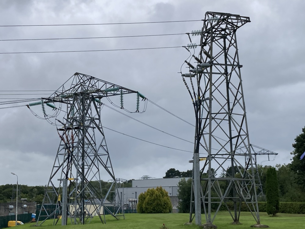
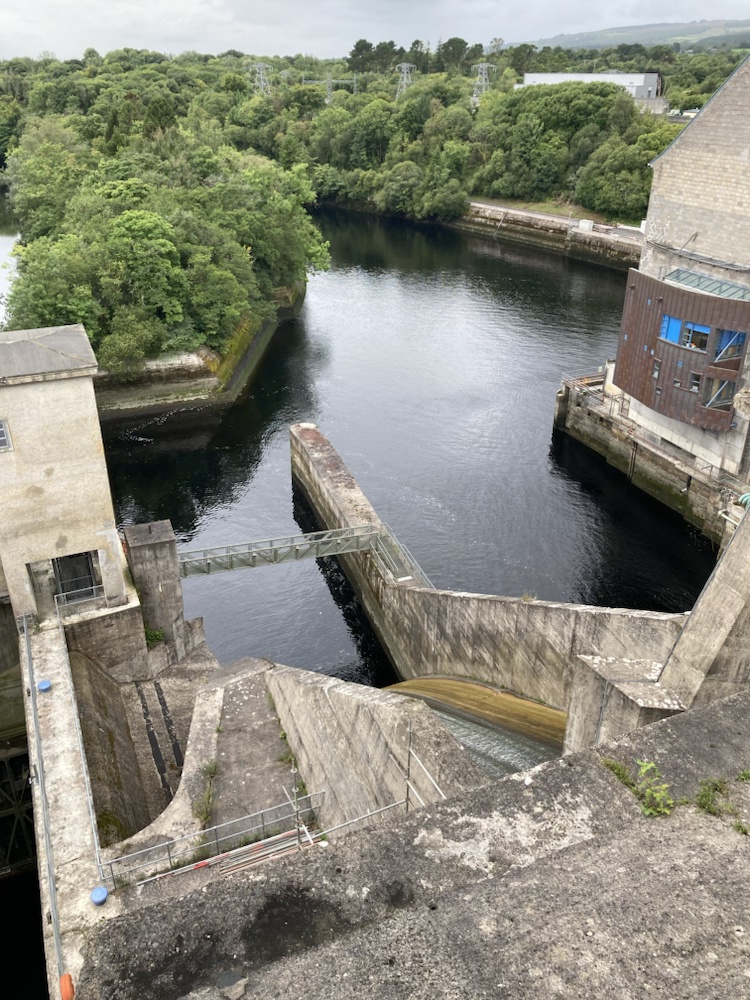 It was followed by a huge drive towards the electrification of Ireland that saw first time instillations continuing right up to the 70’s. One million poles were erected over 20 years to connect 300,000 homes.
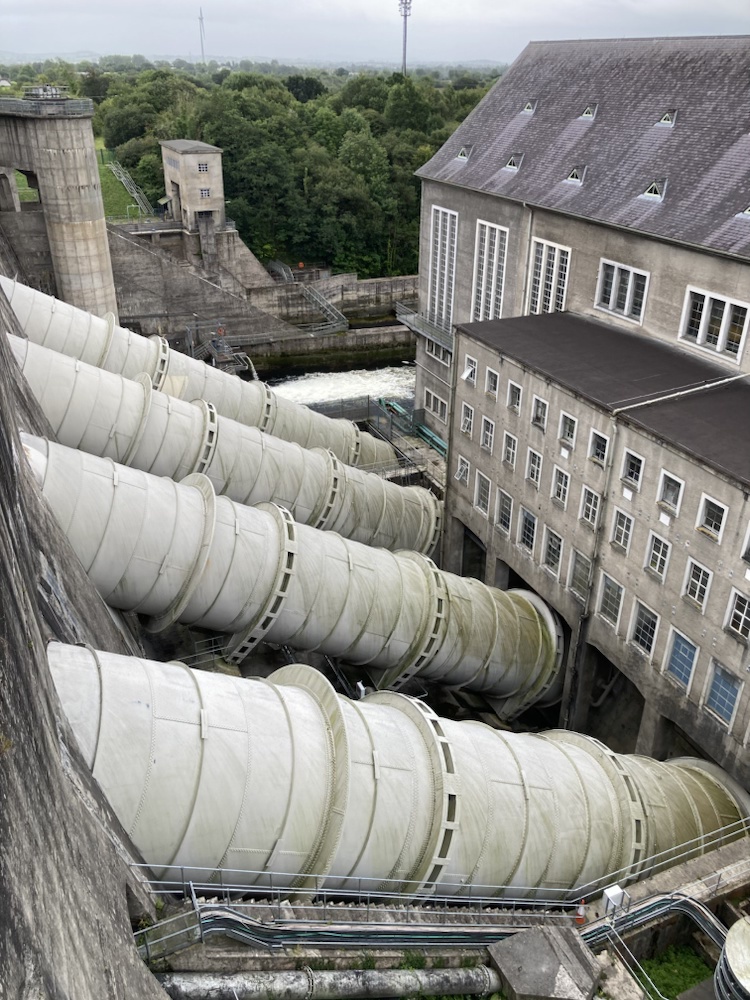
The river was raised 7.3 m along a 12km man made canal leading to the turbines where a drop of 30 m took 100 tones of water per second to produce 85 megawatts of power.
 Not exactly a Ramble but an interesting exploration of a historical landscape feature. The vast engineering feat was a huge undertaking costing a overwhelming proportion of GDP. The Irish chief designer/ engineer on the project was a socialist who was told the plant would produce free energy for the people who resigned when the inevitable u turn occurred but rejoined later.
A fortunate but unforeseen consequence of the construction was the introduction of bank voles, a species not known in Ireland until it stuck aboard a shipment of plant from Siemens in Germany who supplied the turbines. The barn owls food supply had been under pressure and the owls population plummeting when the rapid spread of the bank vole revived their fortunes and now consist of something like 75% of their diet.
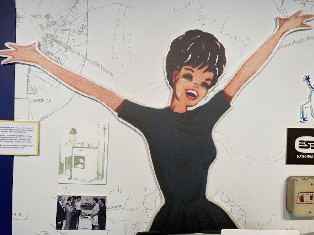
An amusing little museum featured a wealth of promotional advertising of the time on the joys of labour saving electricity.
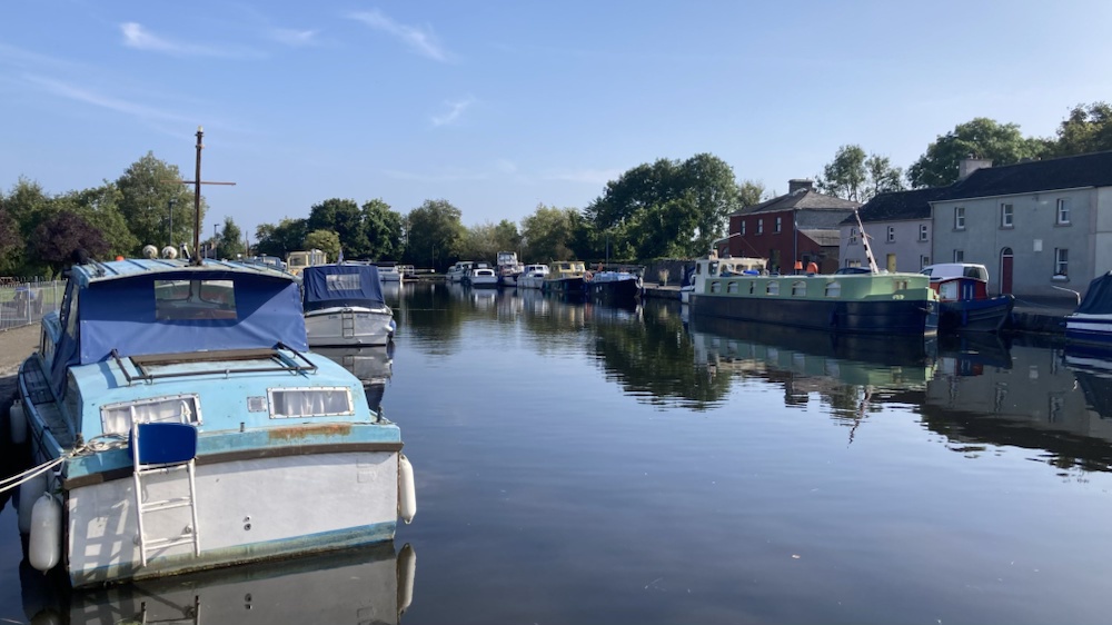
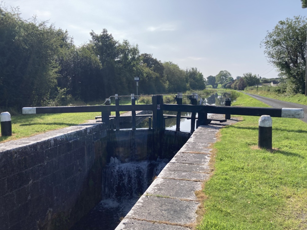
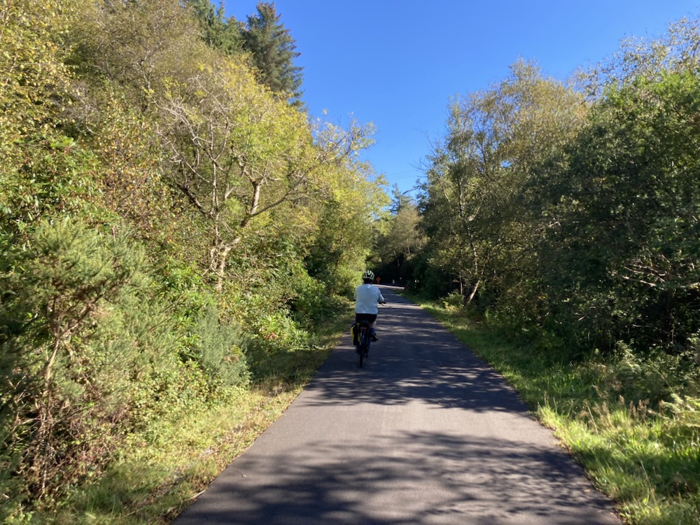
A return visit to the Royal Canal in Longford was an enjoyable trip on e-bikes south from Richmond harbour,where the canal meets the Shannon, to the Iron Age Corlea Trackway.
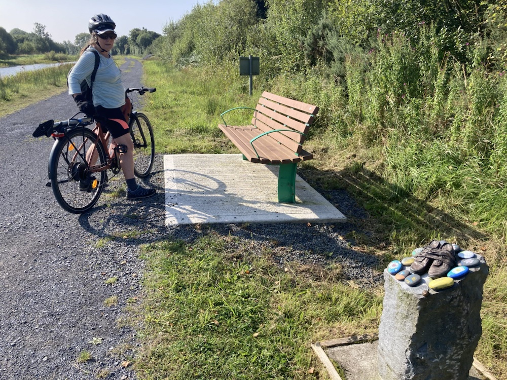
The little shoe sculptures that followed some of the route marked the Famine Way ,a trail that retraced the walk to the famine ships leaving Dublin for America.

But in the summer sunshine the glories of the landscape over shone the heartbreak of the past as we easily glided down the level towpath through the locks.


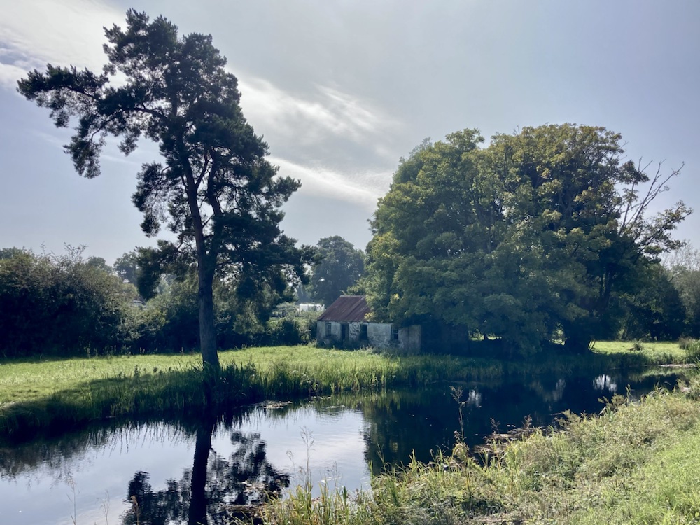
Leaving the canal on a track through the recovering bogland we visited the extraordinary Corlea Trackway. Constructed in 150bc from 1000 wagon loads of oak sleepers laid over a similar amount of birch rails the 1 km roadway connected dry land to an island in the bog where another 1 km of track reached dry land again. An enormous undertaking considering that it was subsumed by the rising bog within a decade.


A pleasant trip on the underused waterways of Ireland and back home via the wonderful native St John’s Wood in Co Roscommon.


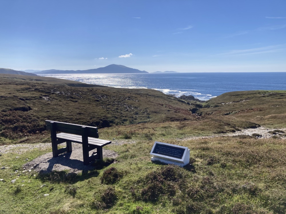
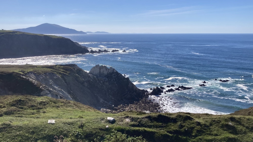
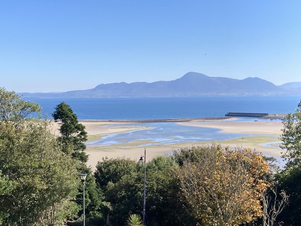
More e-bike cycling later in the summer saw us back on the Westport Greenway- this time on the leg from Mulranny to Achill.
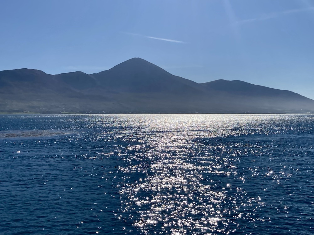
Starting with a boat cruise around Clew Bay under the peak of The Reek we got our bikes at the hotel in Mulranny and headed west through glorious views of sea and mountain.


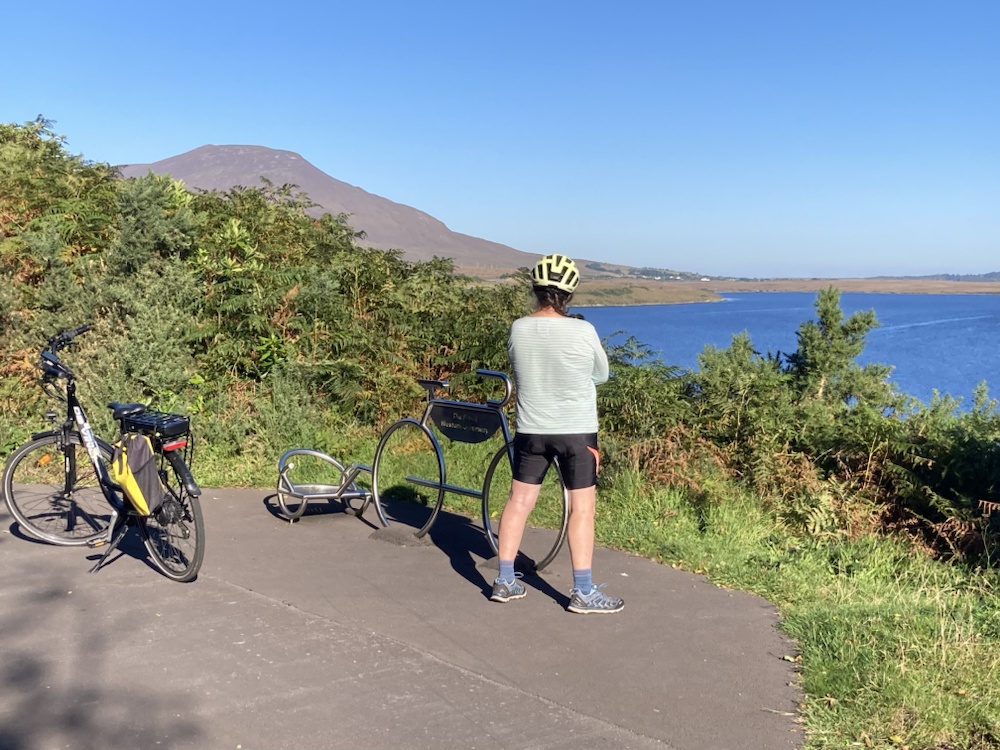
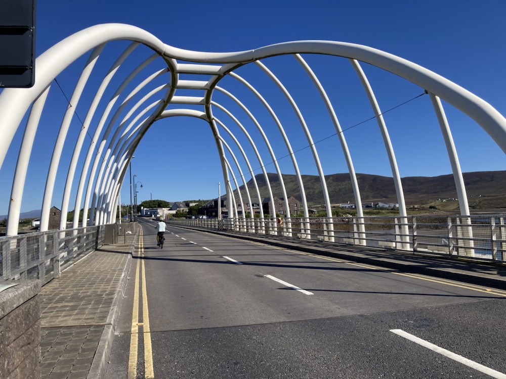
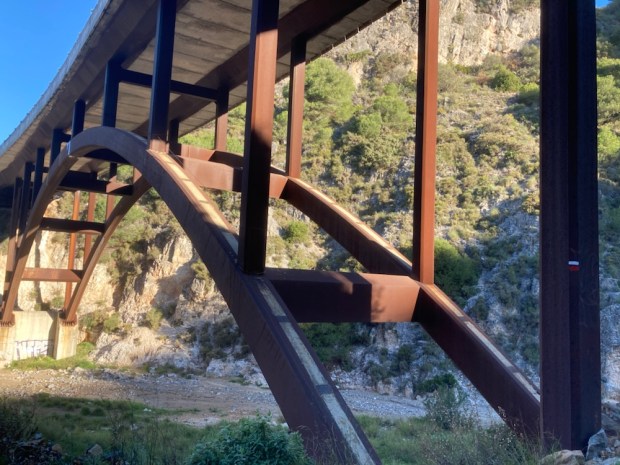
Over the impressive bridge to Achill we continued on the last leg of the greenway and then a left handed loop around the dramatic coastline.

And back to the 4 star spa overlooking the mulchair dune system and beach.
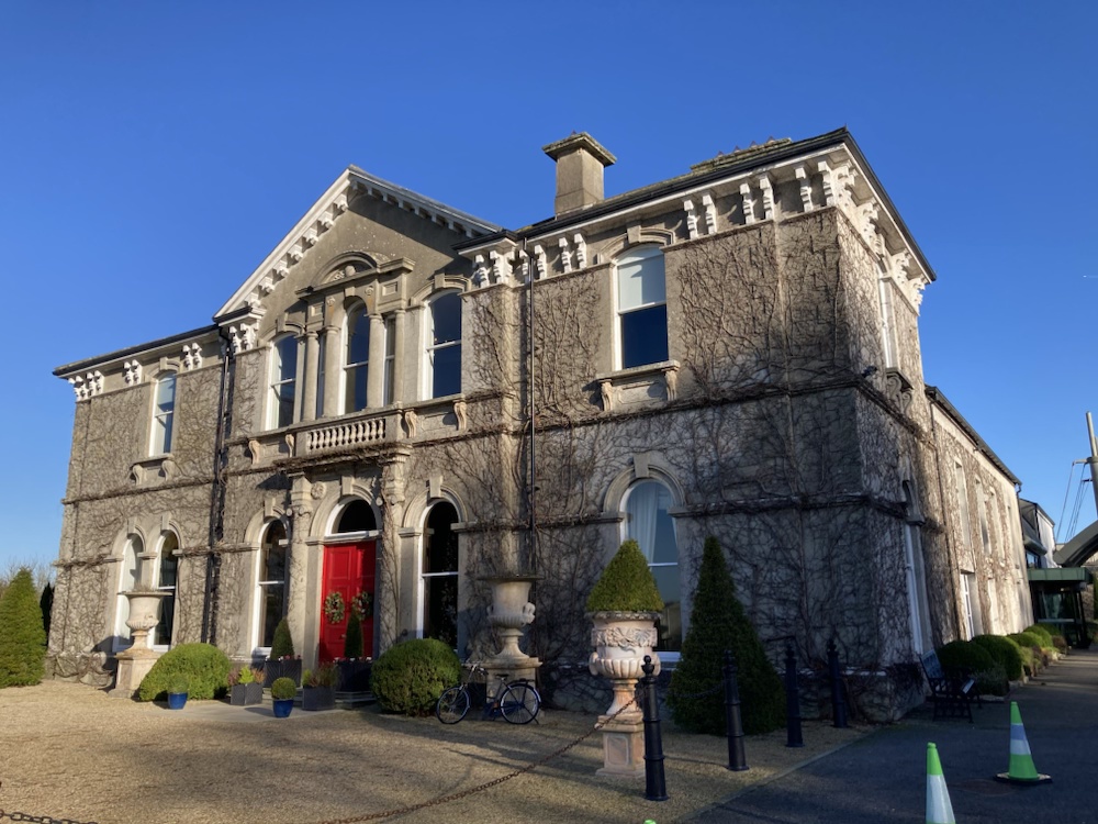
A couple of other luxury hotel stays have raised spirits and spoilt us this year, after a decade of roughing it on the trail. And I’m still hoping to squeeze in another couple.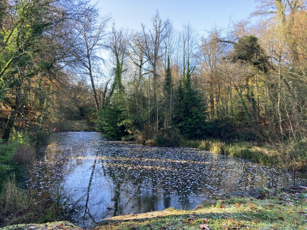

Why not. You only live once.

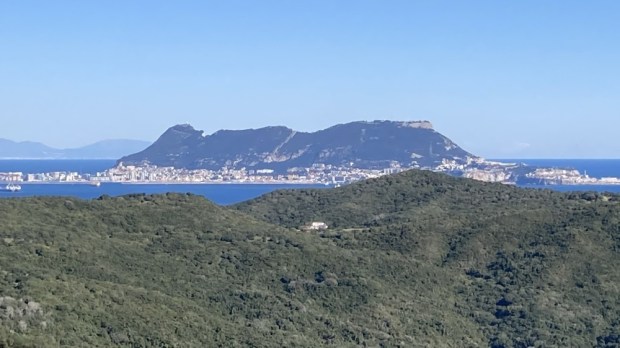


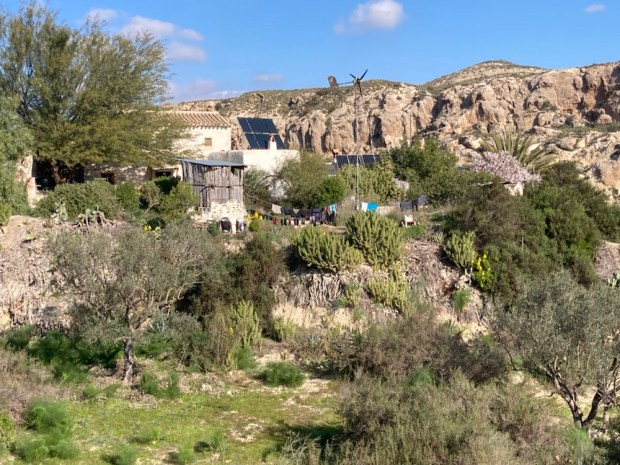


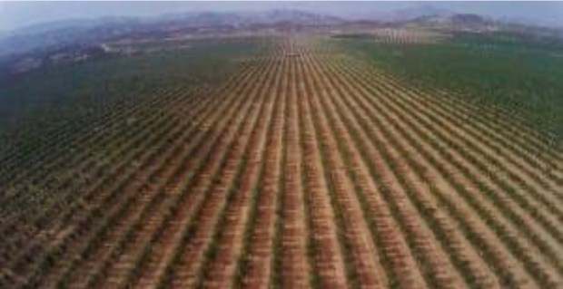


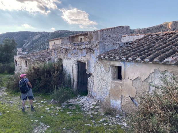


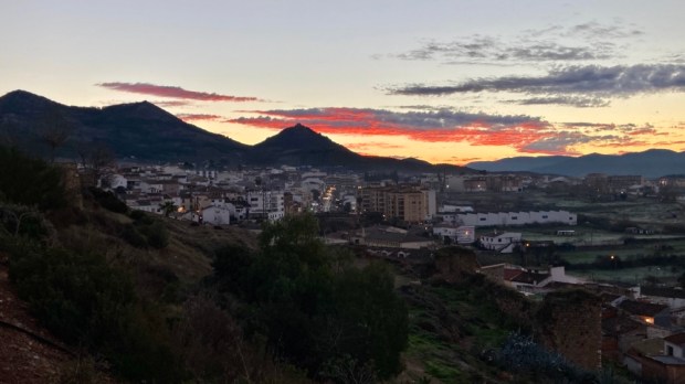
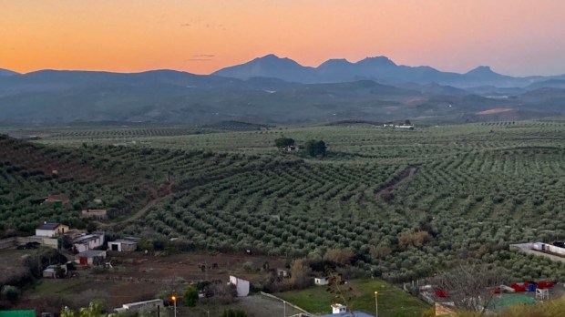


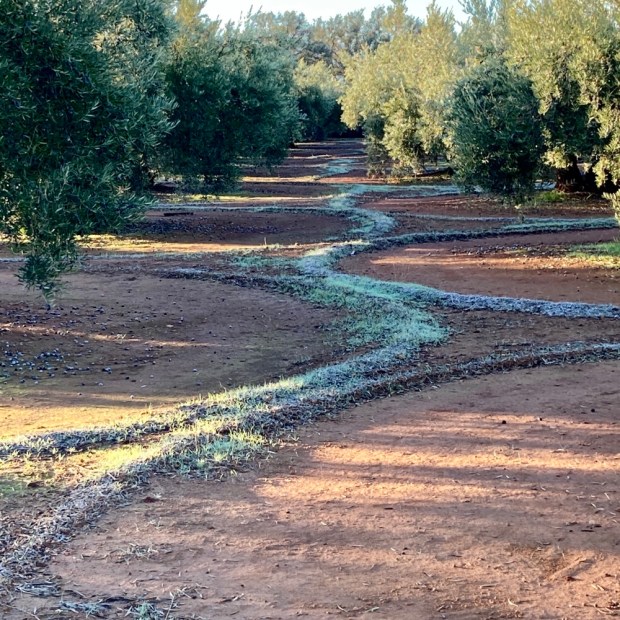


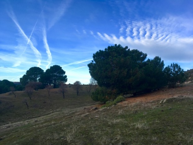
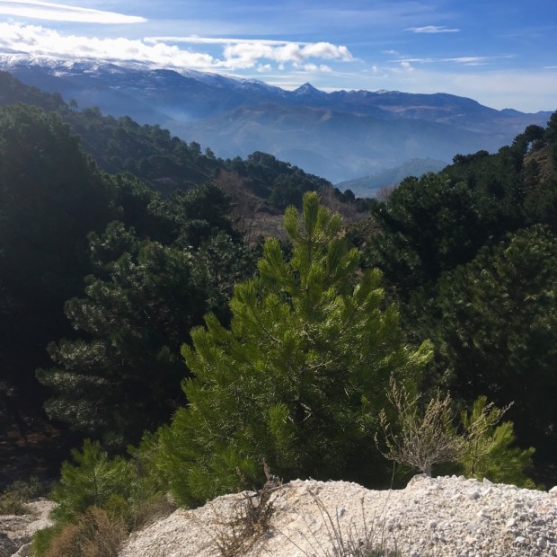
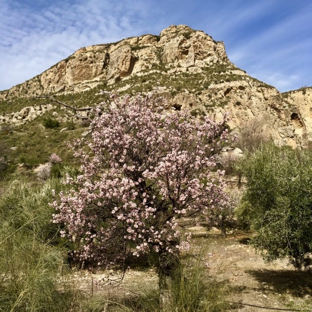
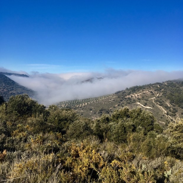
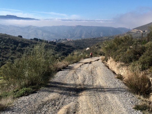
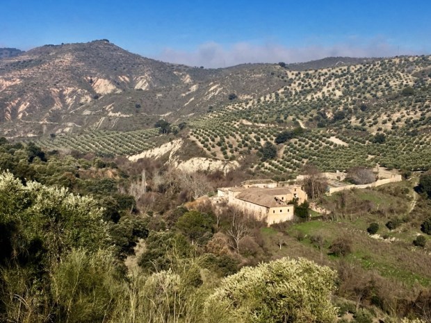
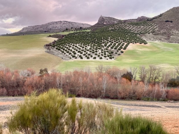
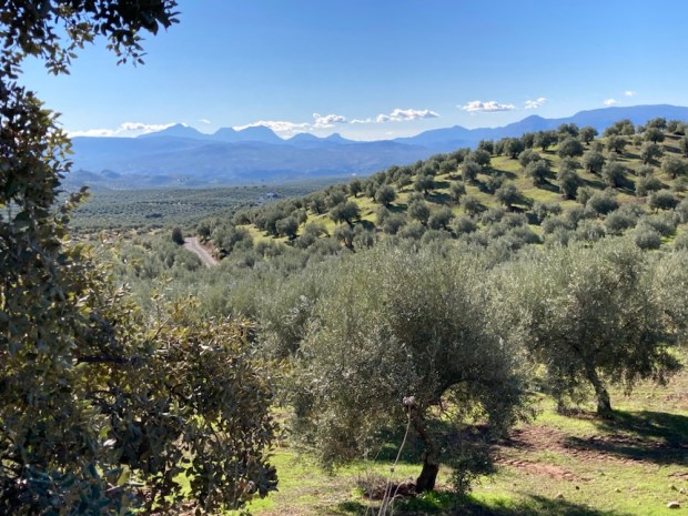
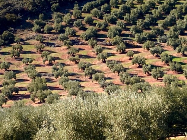
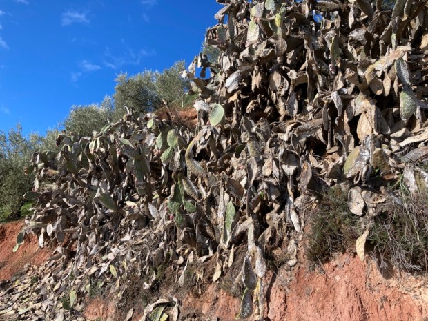
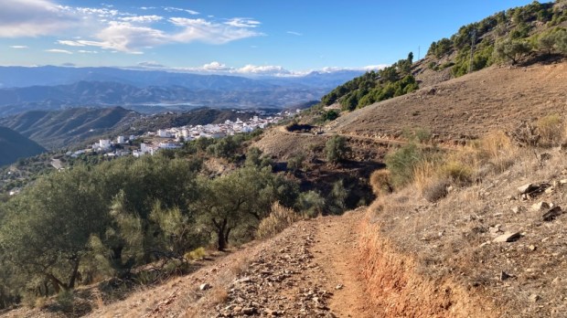
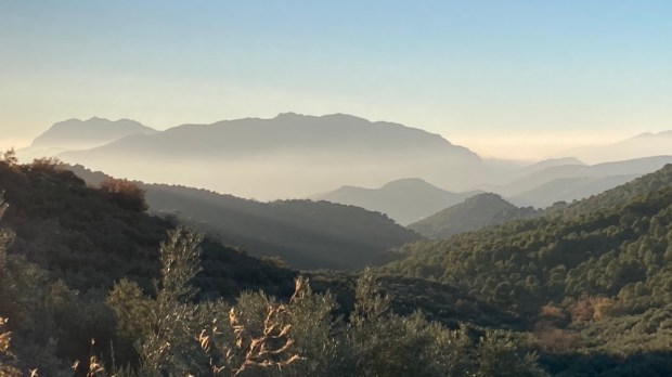
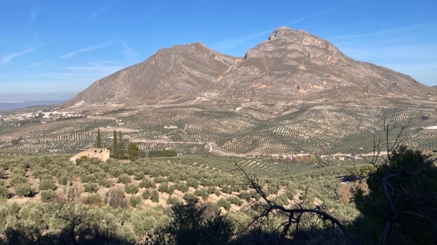
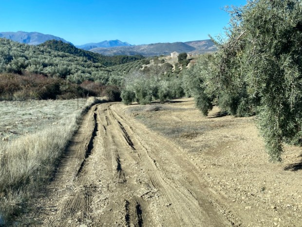
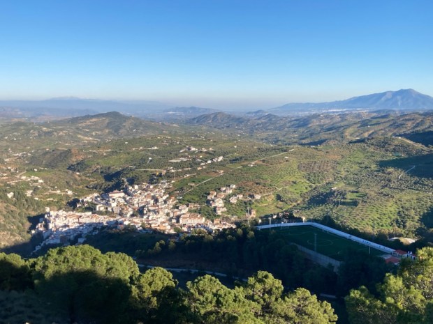
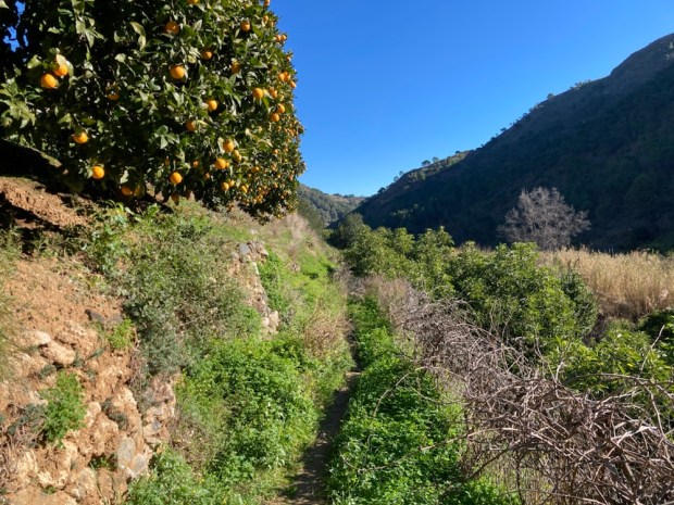
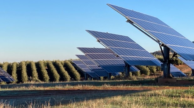 For days we had been walking through a very dry Andalucia and yet the growth of new irrigated plantations continues. The region produces 80% of Spain’s and 30% of global olive oil. 900,000 tonnes a year. Plus 380,000 tonnes of table olives. They take up 85% of the land. 70 million trees- 1.5 million ha- the biggest tree plantation in Europe. The defining historical, cultural, agricultural and economic feature of this huge area of Spain. But there are many danger signs.


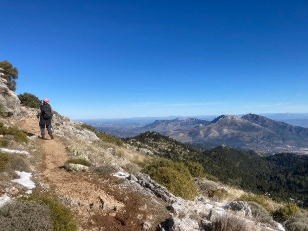
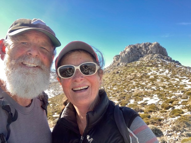
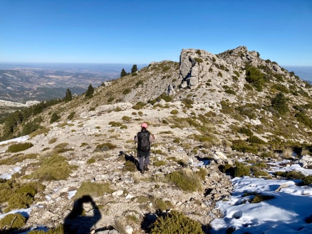
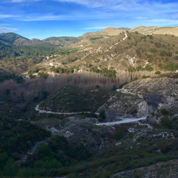
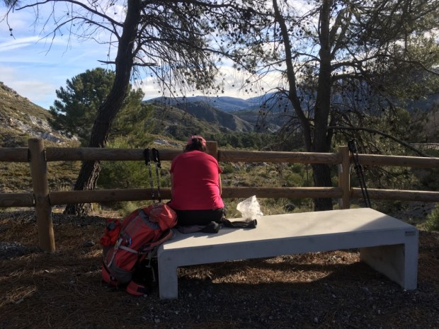
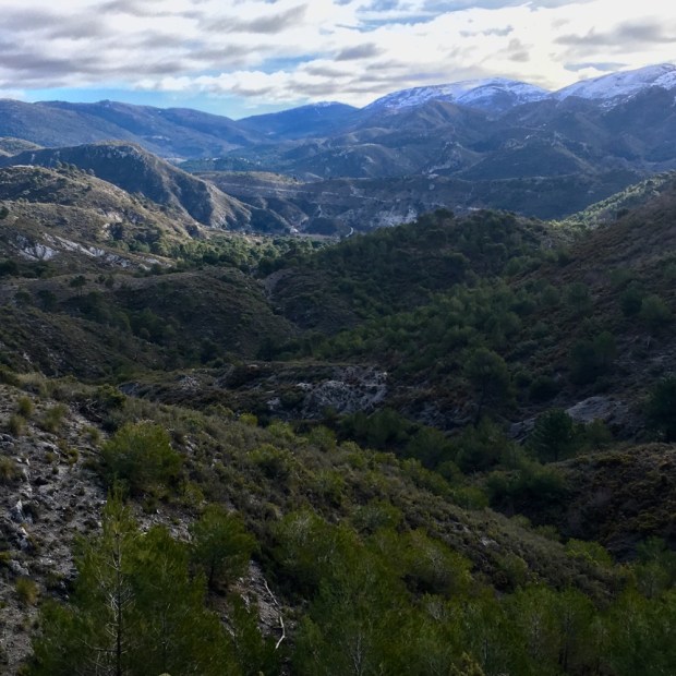
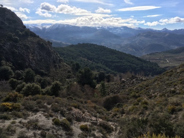
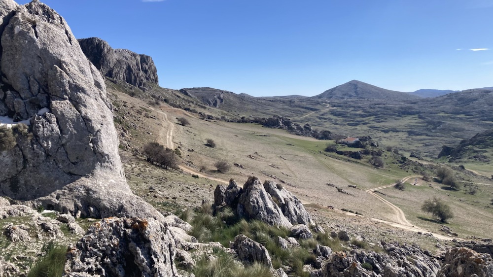
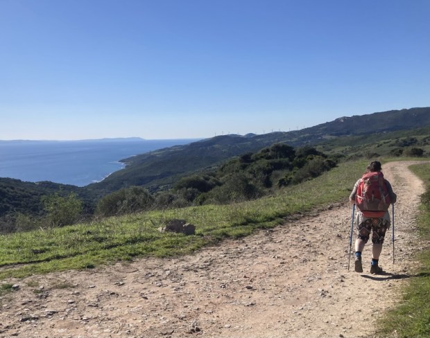
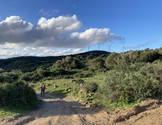
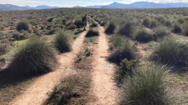
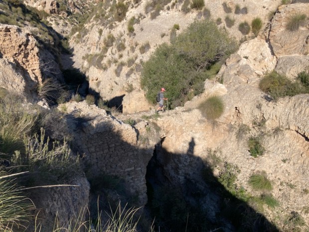
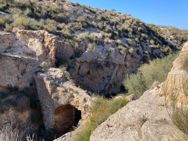
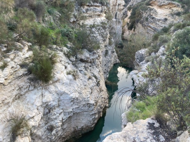
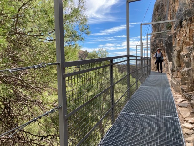
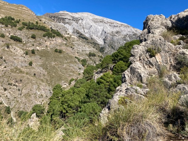
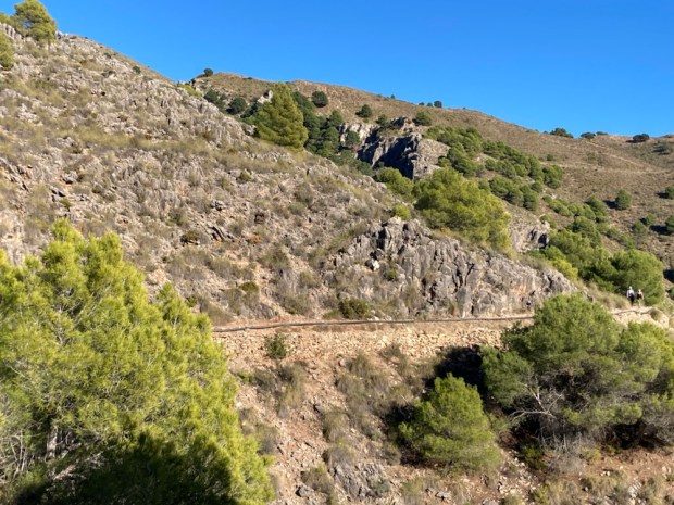
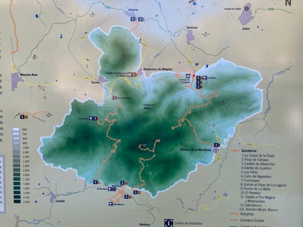
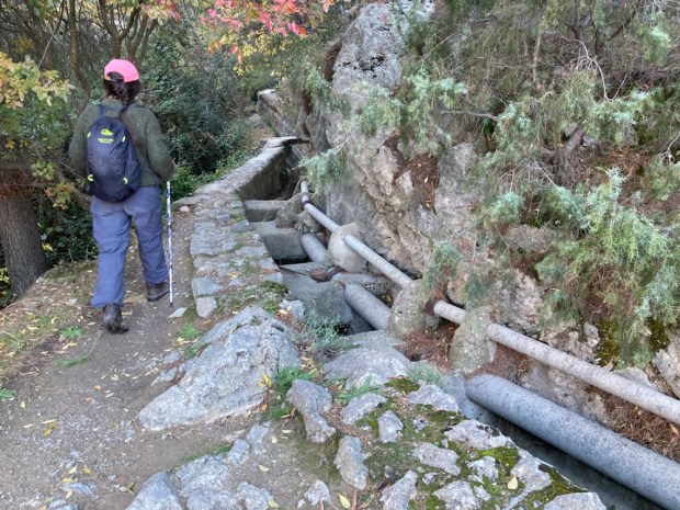
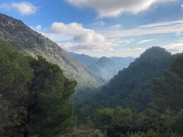
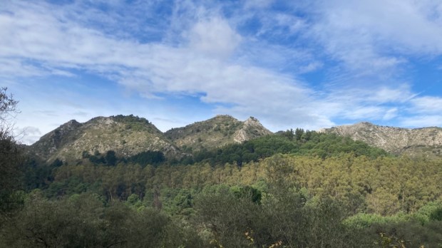
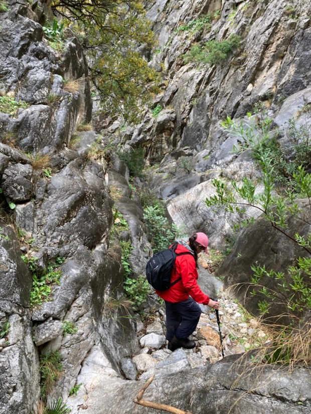
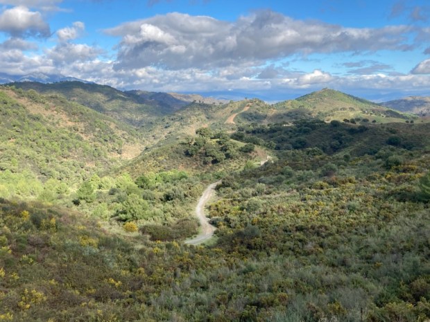
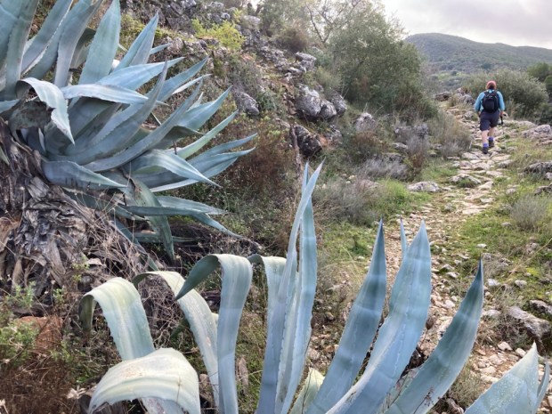
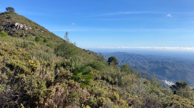
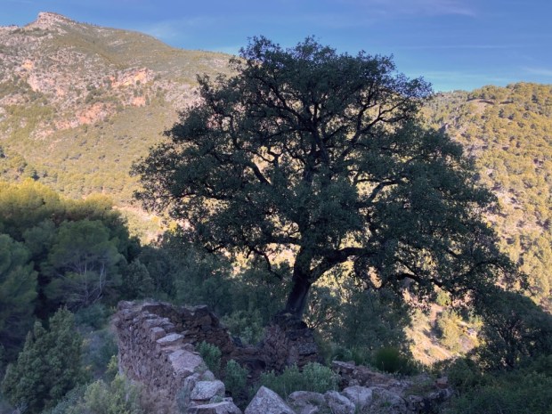
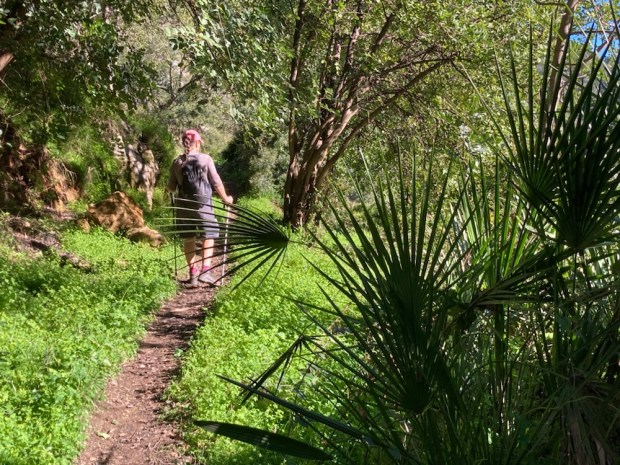
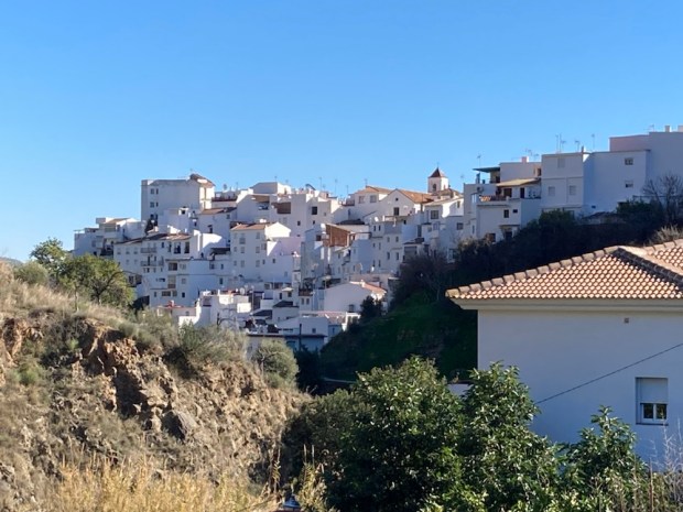
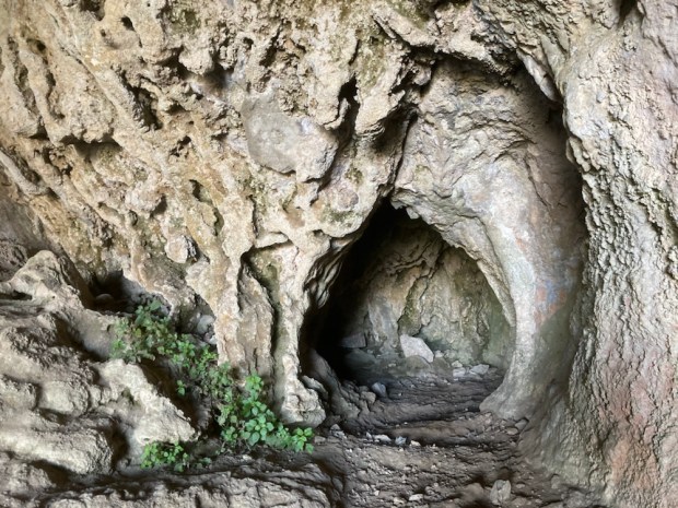
 A dramatic walking route opened in the Parque Natural de Tejeda, Almijara y Alhama in October 2020 after many months construction. An old path following irrigation canals and pipes into the mountains above Canillas de Aceituno was transformed with a steel and timber suspension footbridge and other hanging walkways fixed to sheer cliff faces.
 The €600,000 investment is hoped to bring in much needed tourist revenue to the area and it seems to be paying off. The day we tackled it the town at the start was busy with people with poles, and the pandemic has led to many more people exploring the vast natural areas away from the more crowded costa. In fact some places such as the Caminito del Rey and El Torcal have become a victim of their own success with long queues, traffic jams and overcrowding but we’ve always found that away from the honey pots Andalucia has space aplenty.
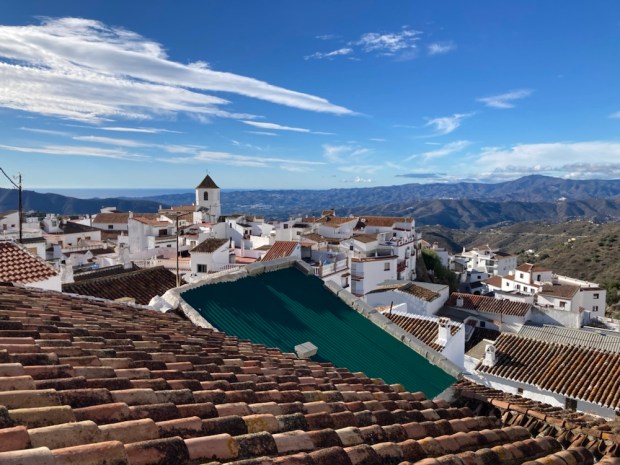


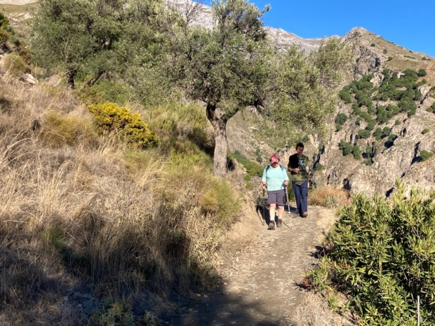

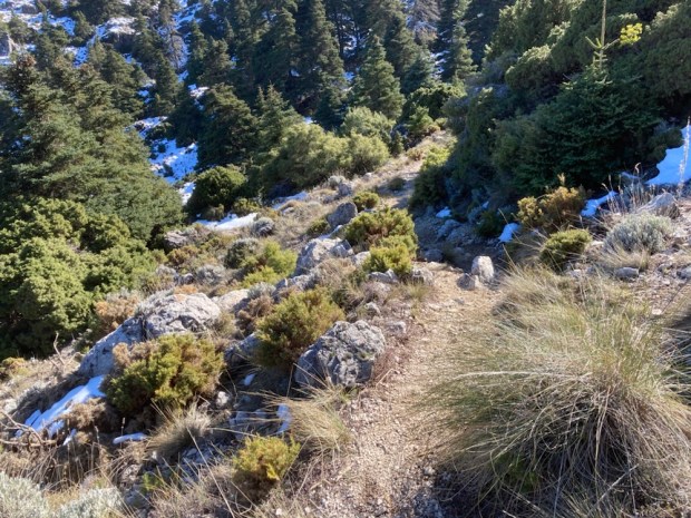
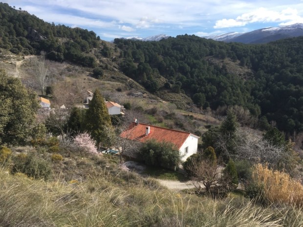
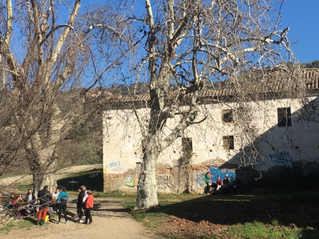
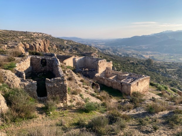
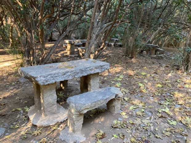
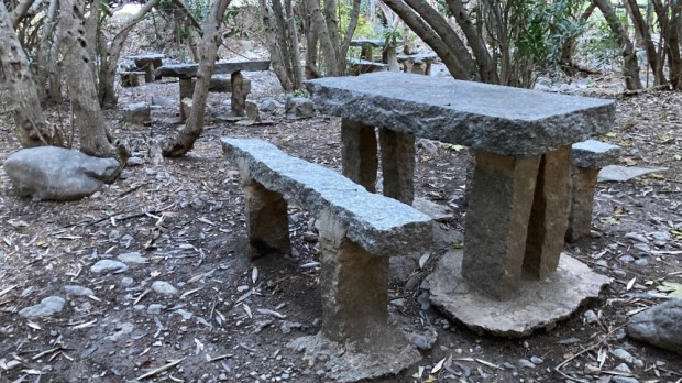
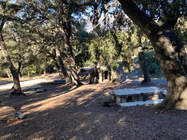
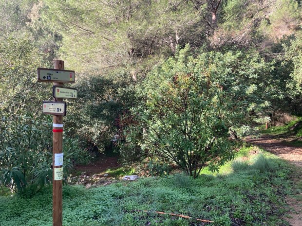
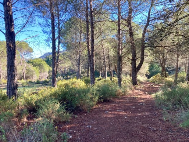
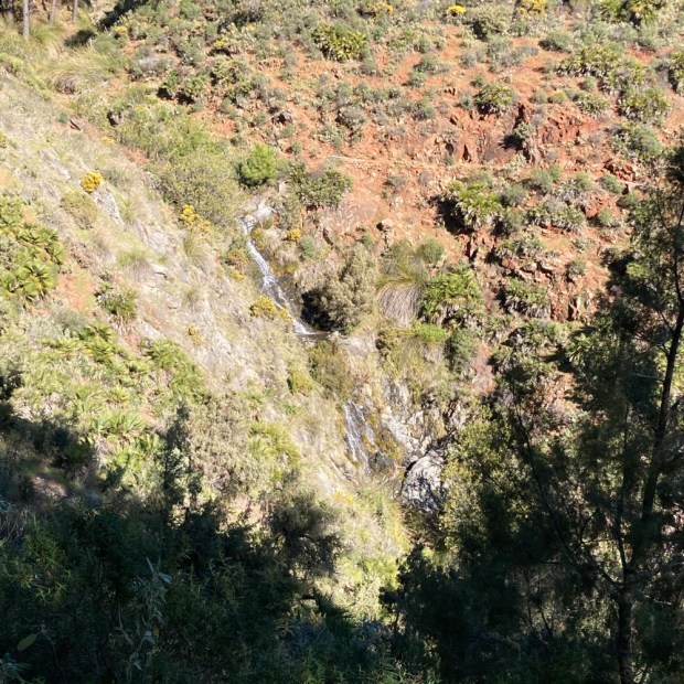
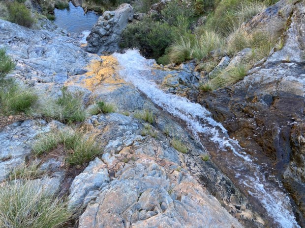
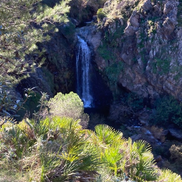
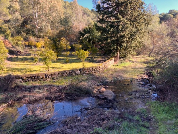
 Moving on into the park in the morning we drove up to the Area Recreativa Cuadros and walked through the river side oleander forest that housed many shady picnic tables and benches and up on paths of needles and stone into the pines.


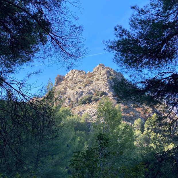


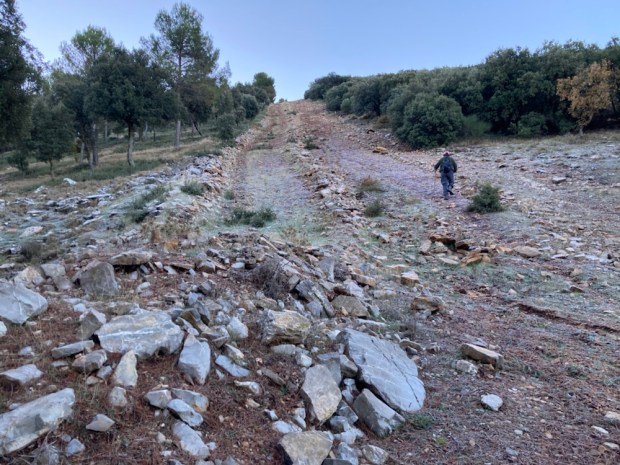


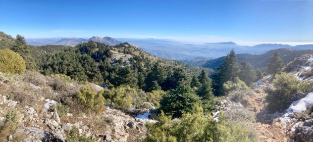


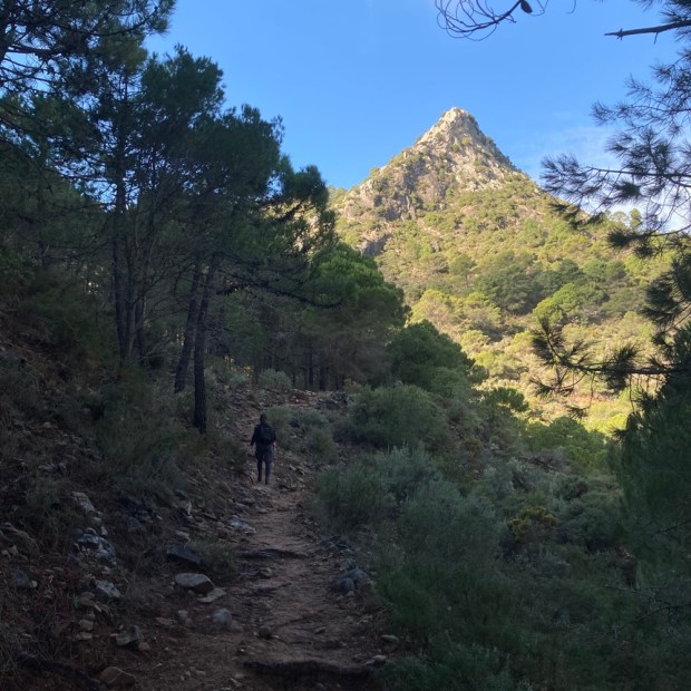


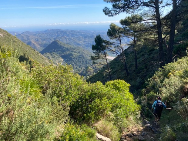


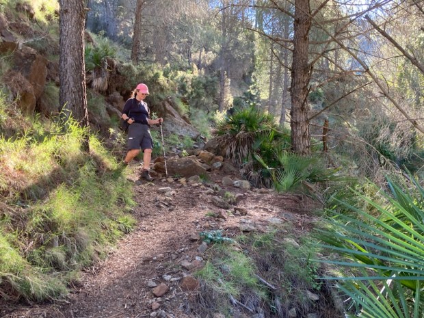


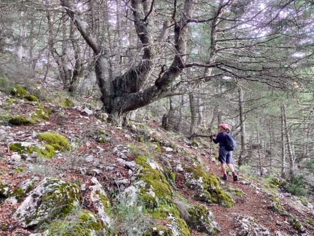


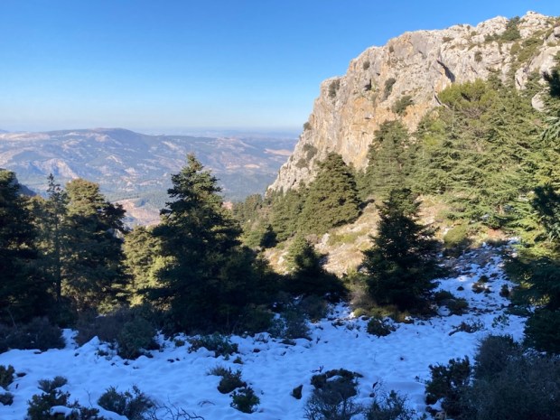
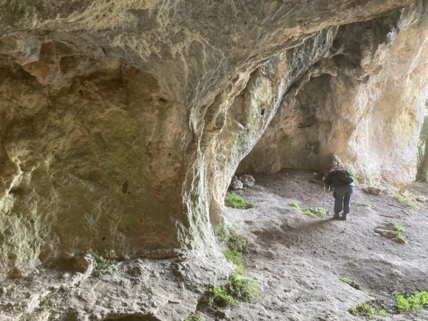

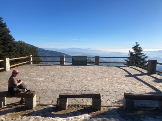
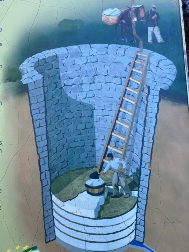
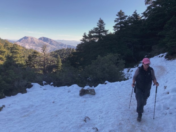
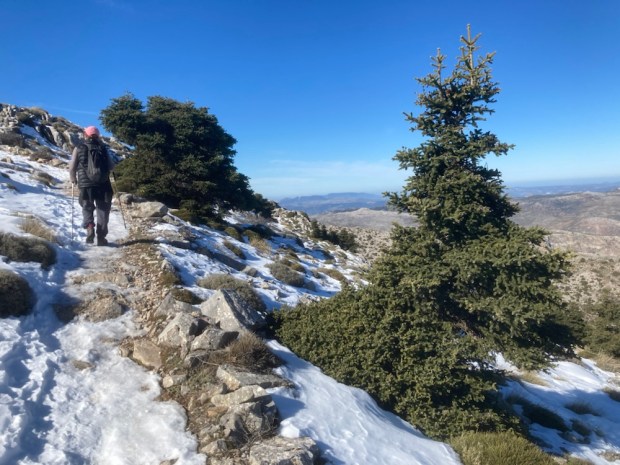
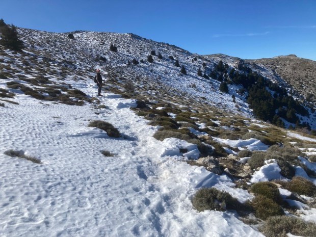
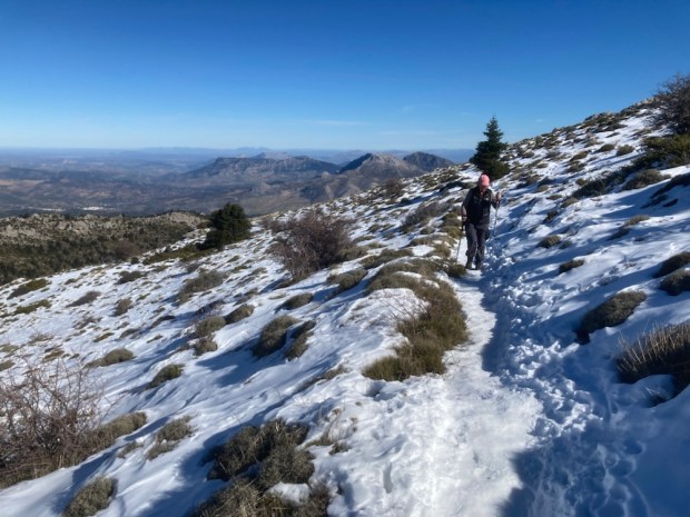
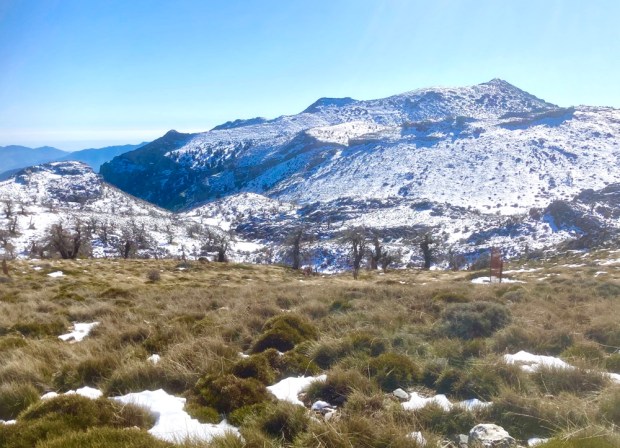
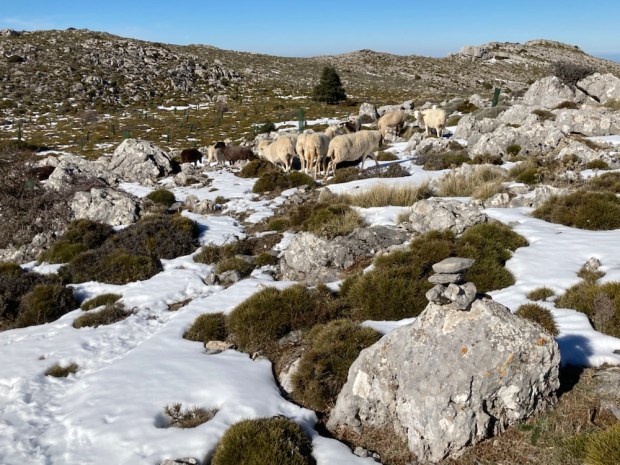
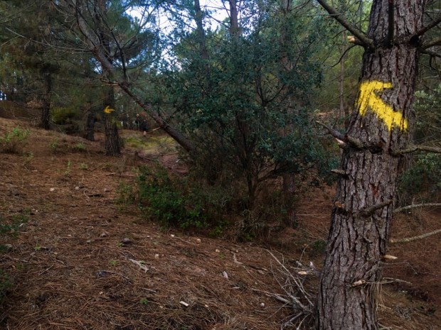
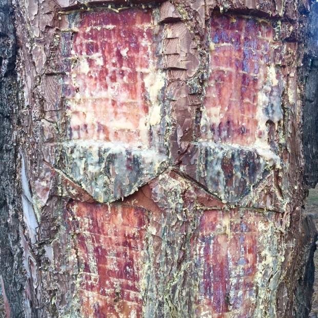
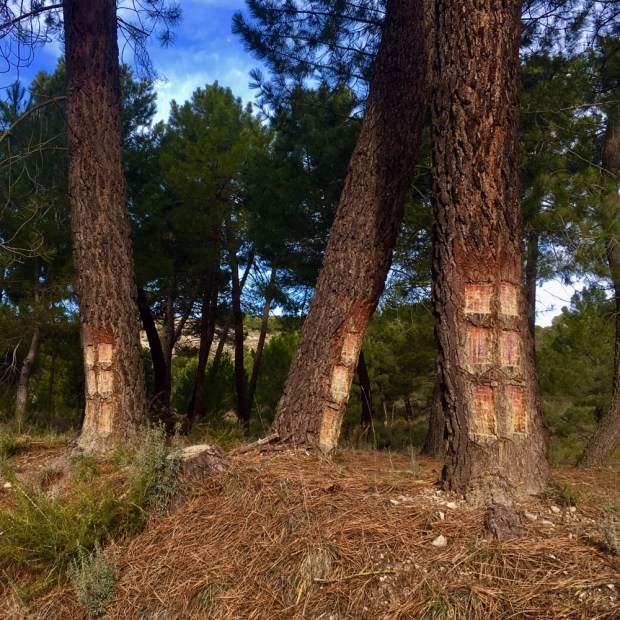
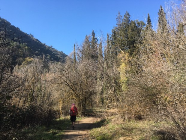
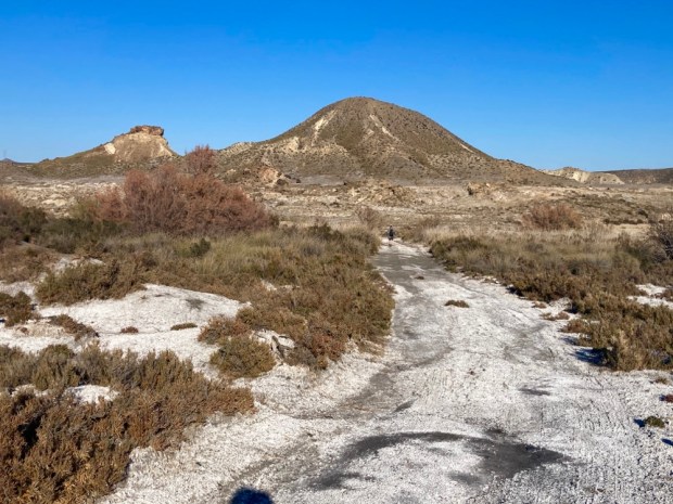
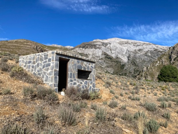
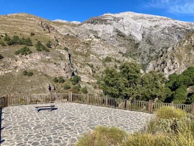
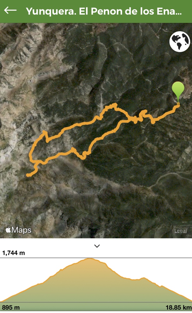 After a chocolate break on reaching the mirador at 1240m we set off on a yellow and white marked route the PR-A 351 and were immediately immersed into the snowy landscape that had long been a source of industry with the building of snow pits and the subsequent transportation ,by mule ,of snow and ice all over the province.