Camino Mozarabe

CAMINO MOZARABE: Granada to Baena 3

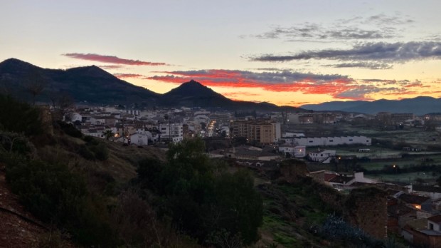
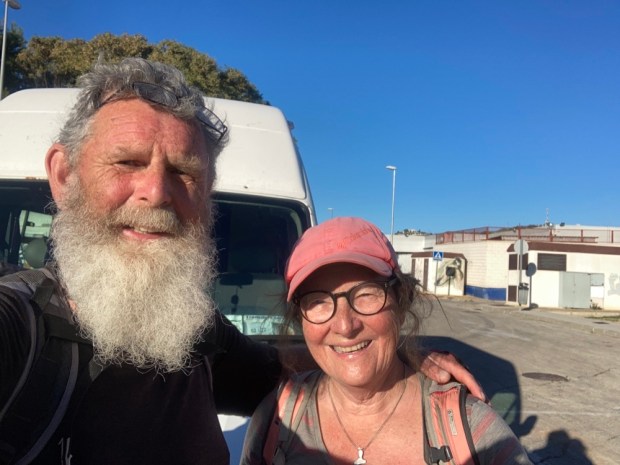
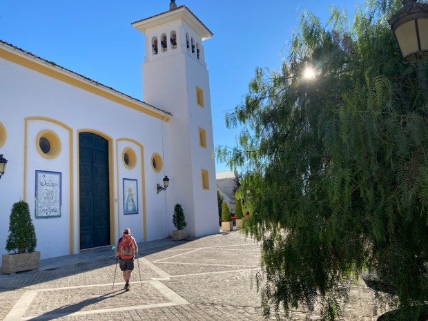
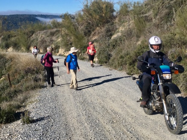
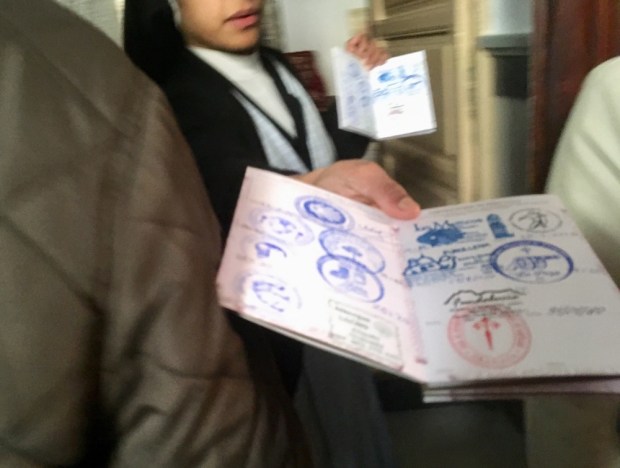
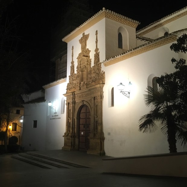
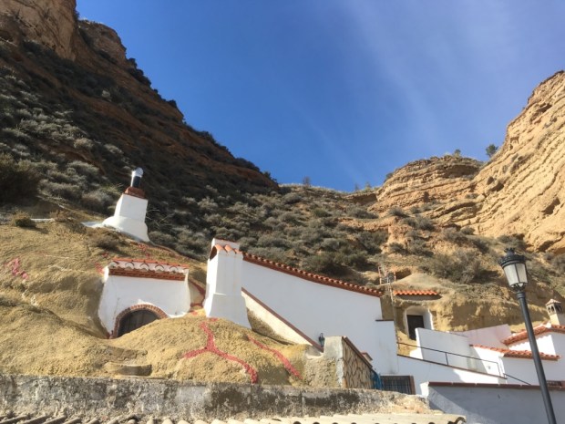
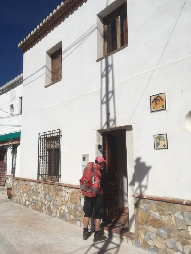
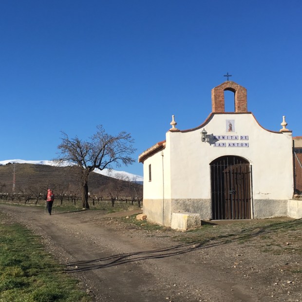
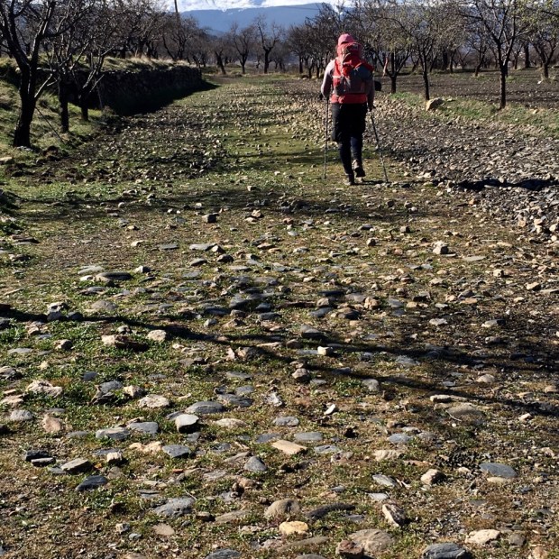
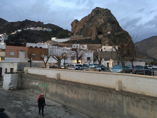
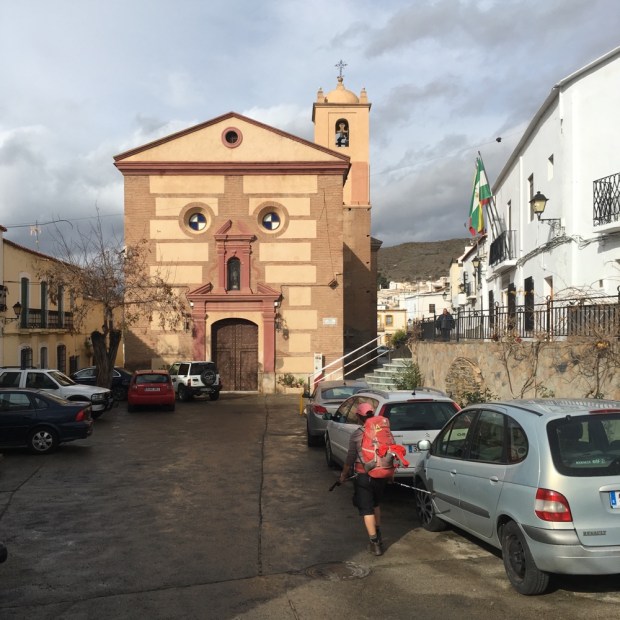
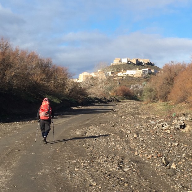
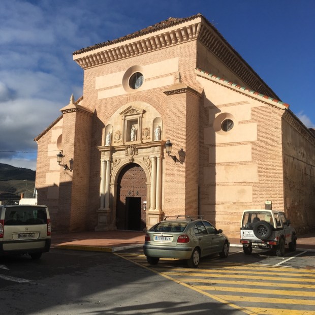
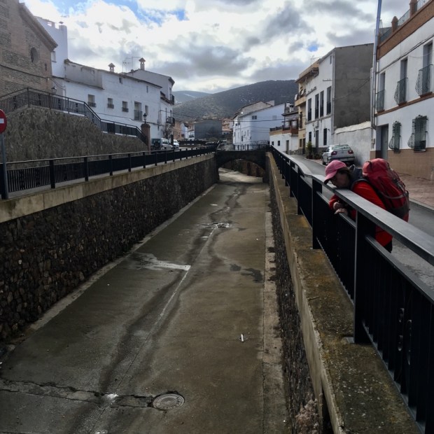
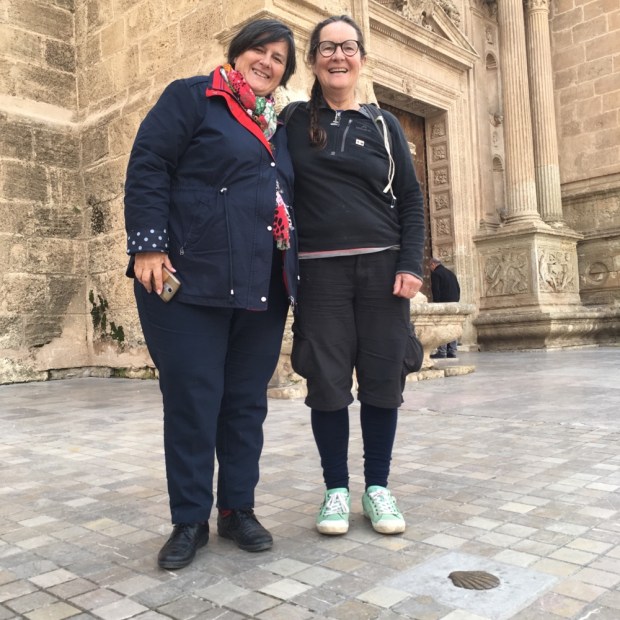
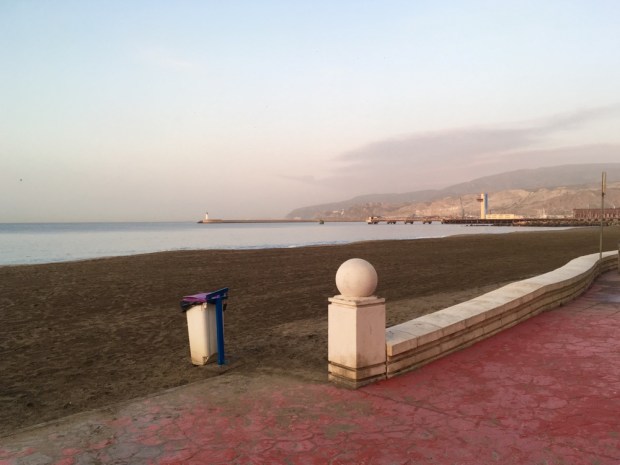
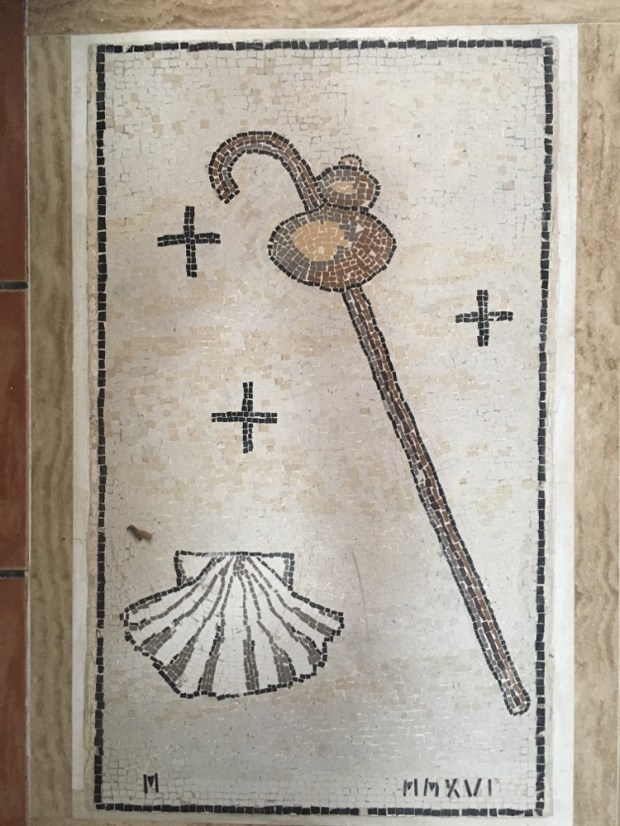
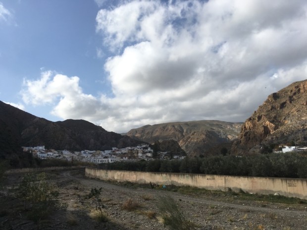
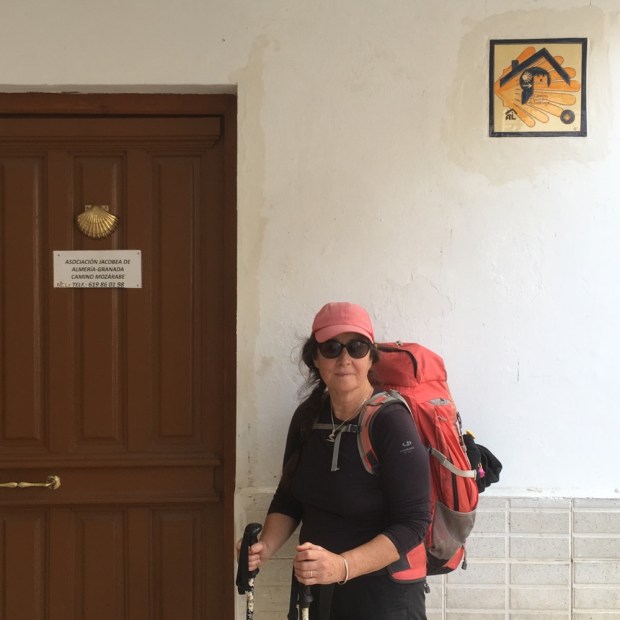
Our last leg, at 26km the longest of the trip, started pre dawn in Alcaudete and ended back at the camper in Baena. From the back alleys we wound our way to the plaza below the castle wall entrance and the blue lit ayuntimento where we got a stamp in our pilgrims ” credencial”.

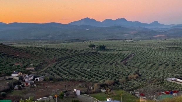
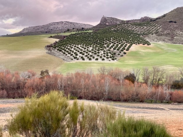
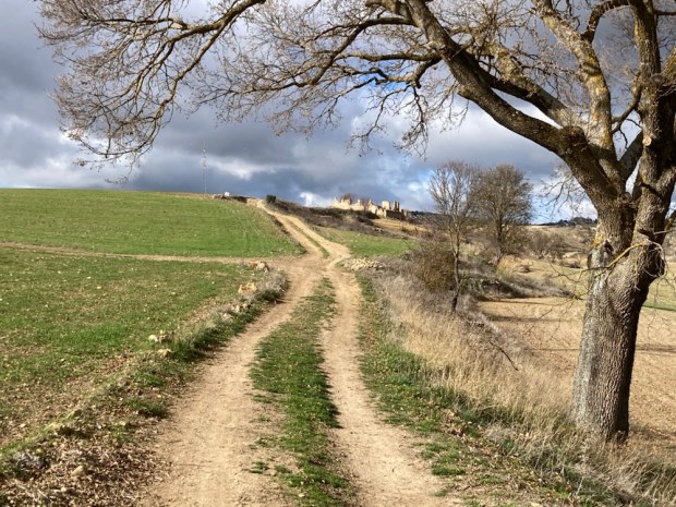
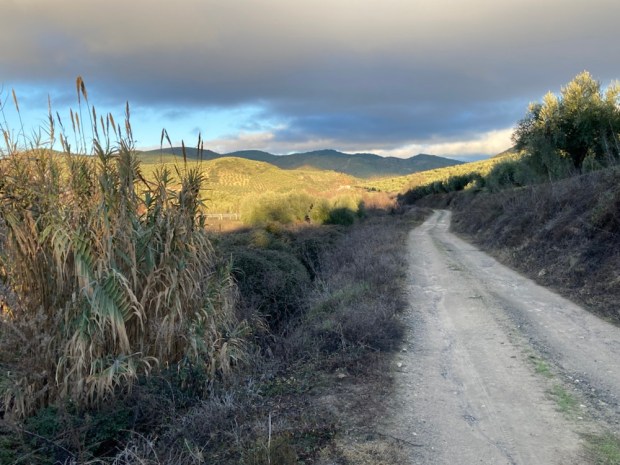
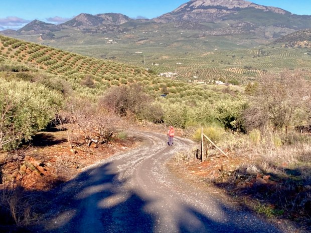
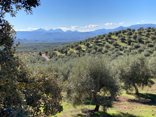
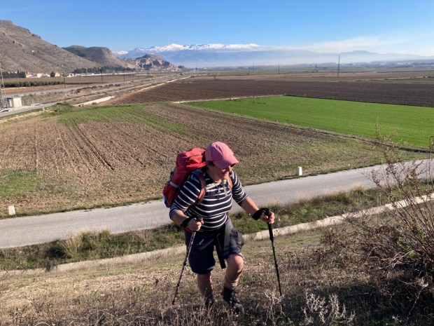
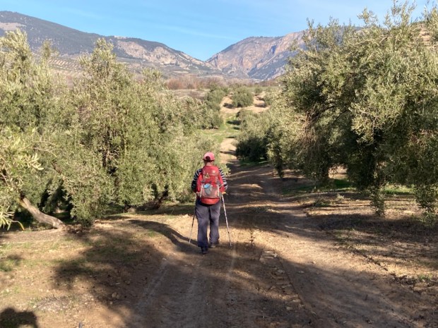
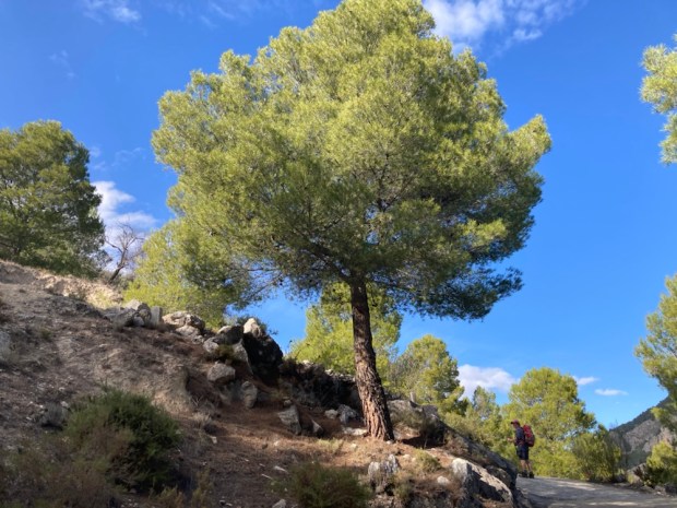
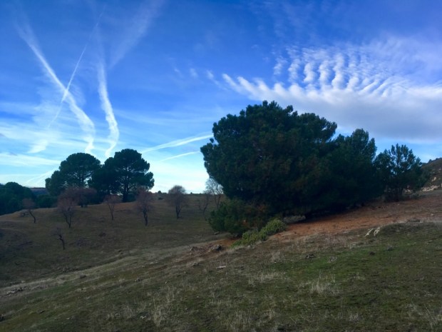
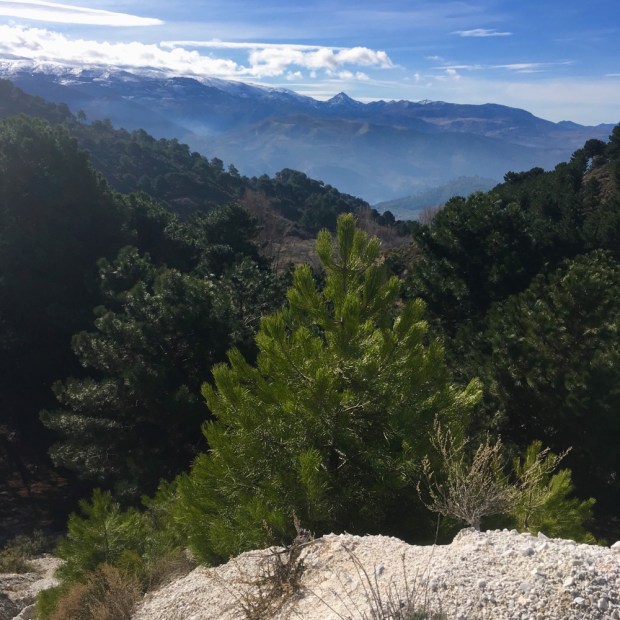
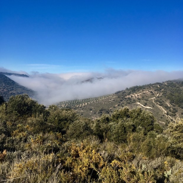
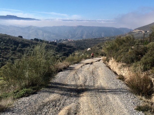
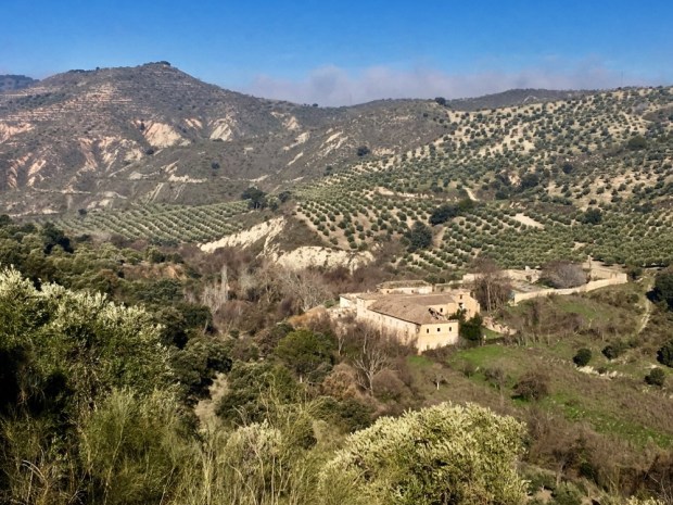
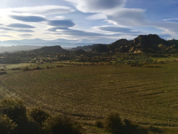
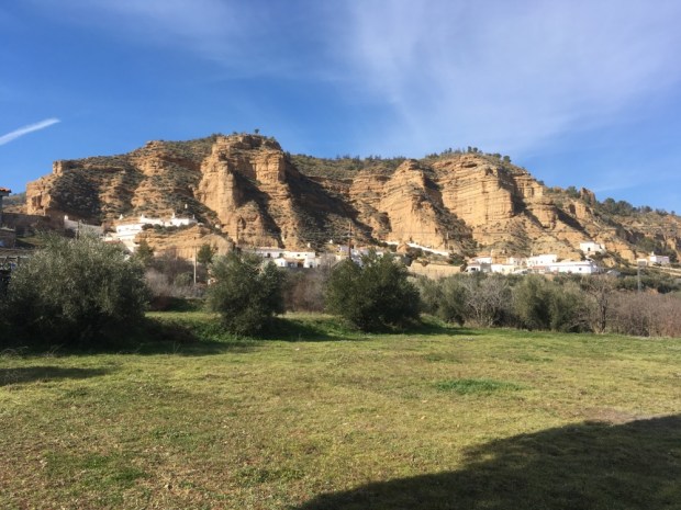
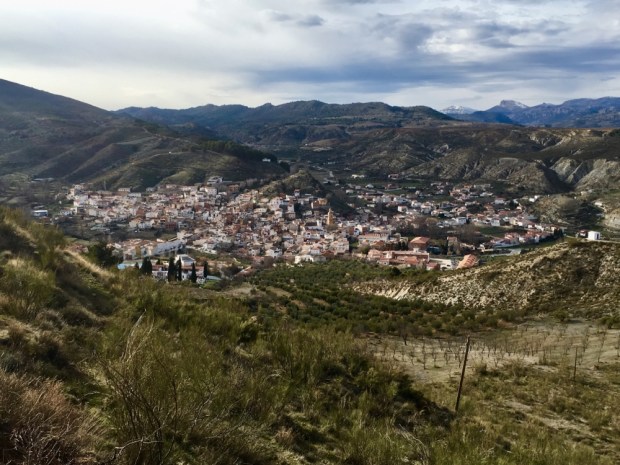
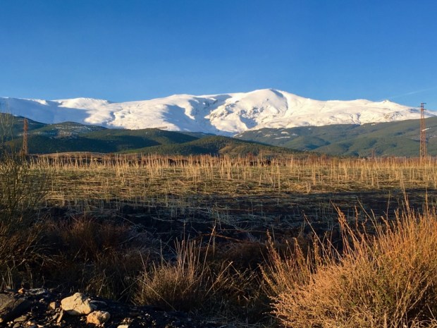
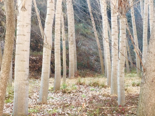
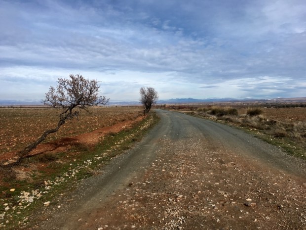
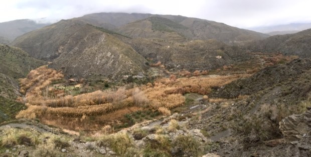
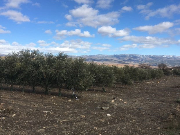
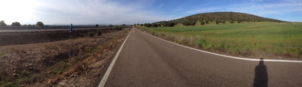
As the light grew and the streaks of red tattered cloudlings turned pink we left the towering fortress and descended once again into the sea of green. A never ending carpet of olives blanketing the swelling hills and washing up on the uncultivated high tops.

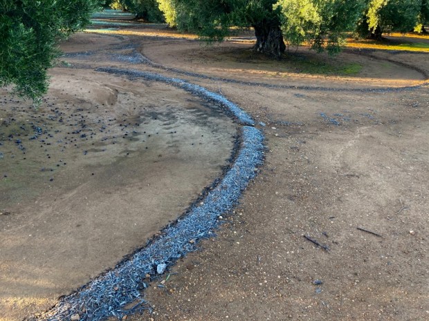
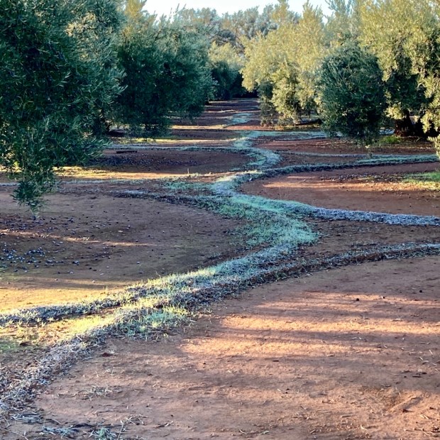
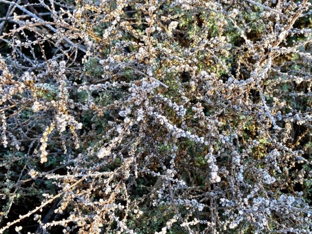
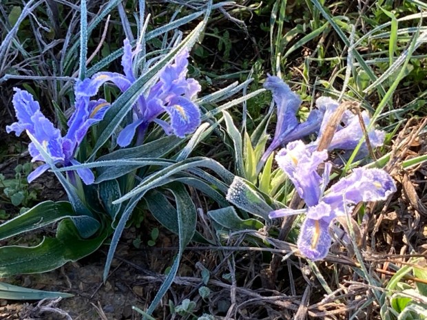
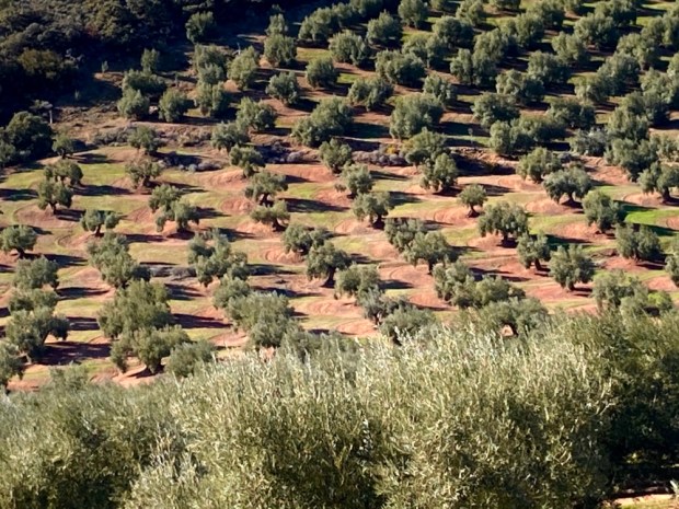
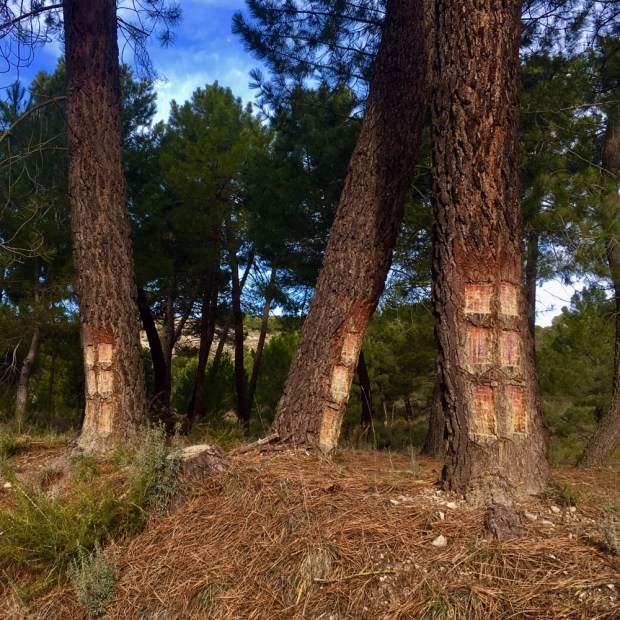
The freezing night left a legacy of frost that highlighted the agricultural art of the groomed groves.

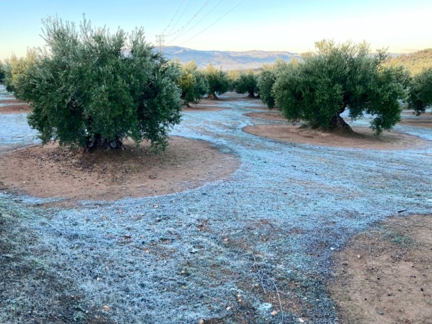
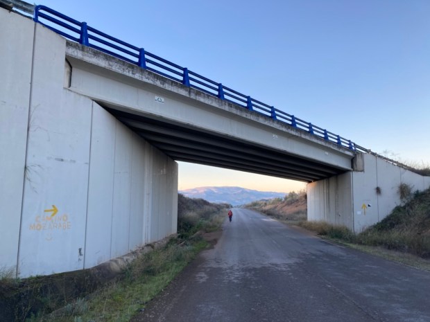
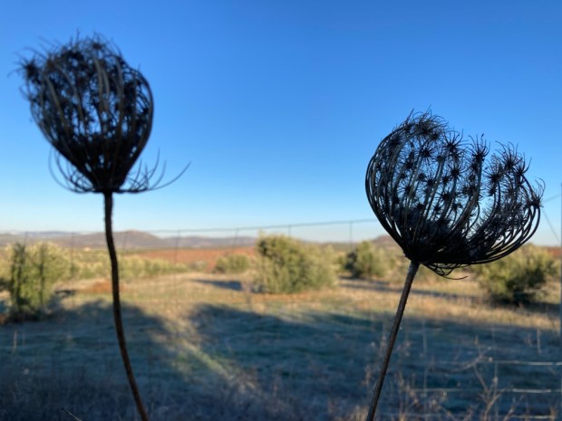
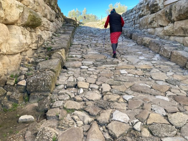
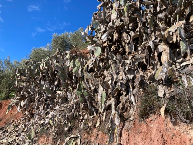
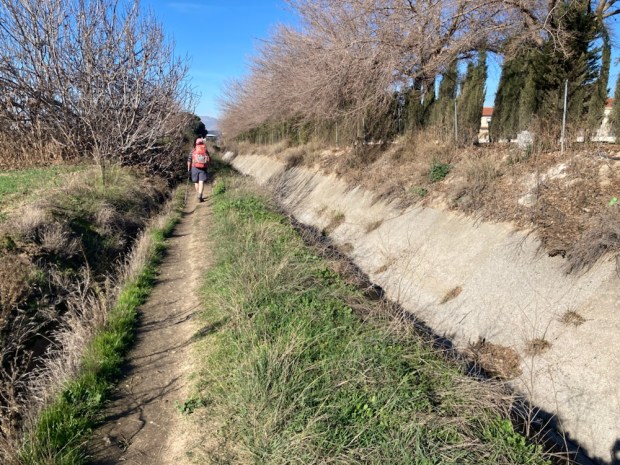
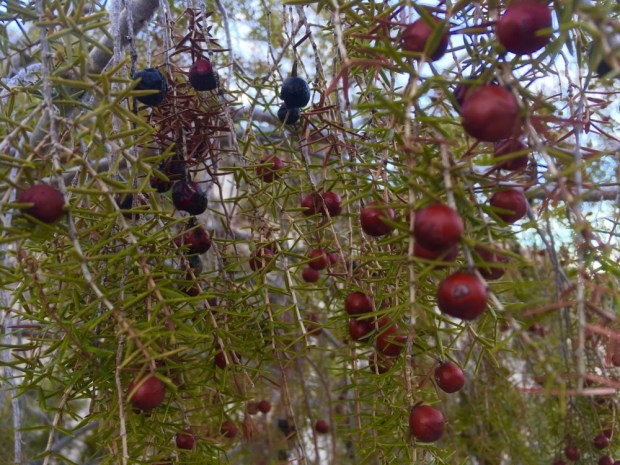
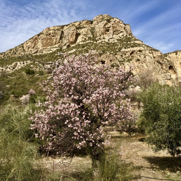
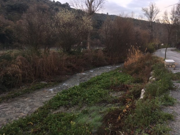
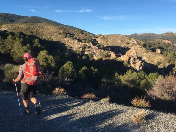
Under the main road we headed off on a frosted track adorned with seed heads and frozen stalks and the first fragile iris’s.

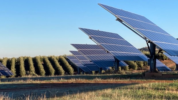
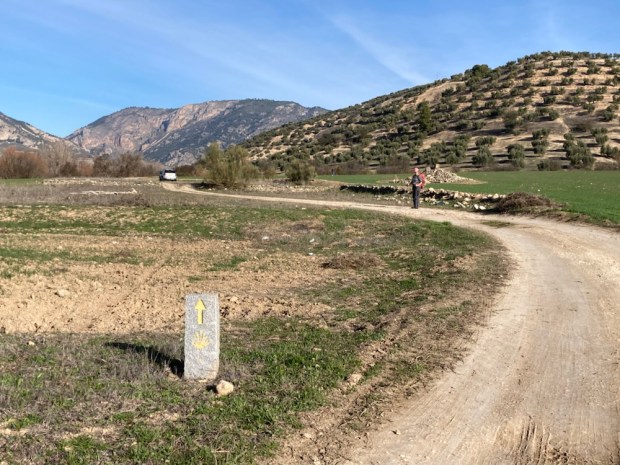
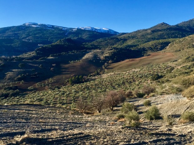
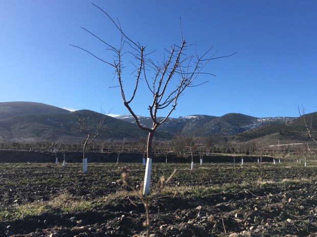
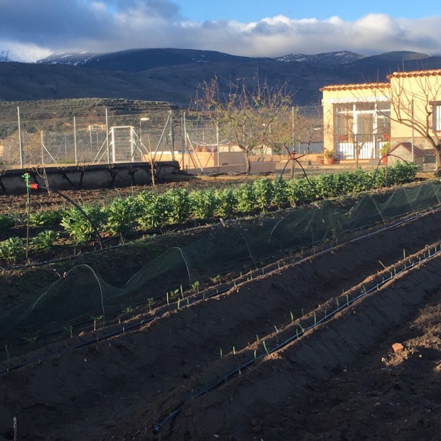
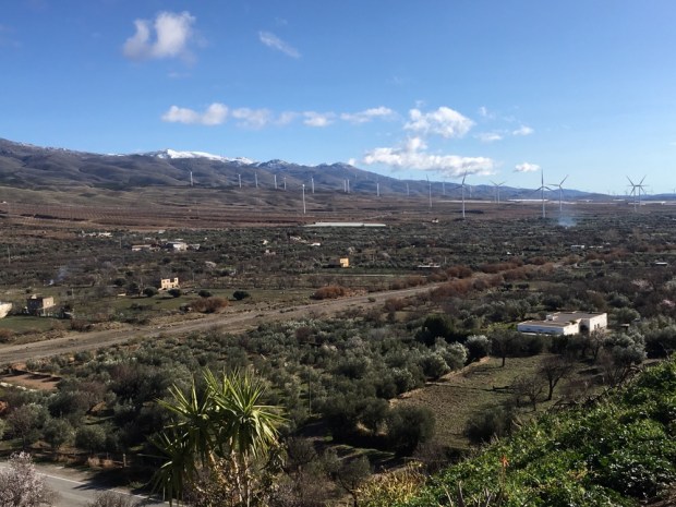
We walked a line sandwiched between olive plantation and solar farm, an interesting intersection of past and present, tradition and innovation and endangered and sustainable.

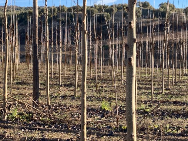
For days we had been walking through a very dry Andalucia and yet the growth of new irrigated plantations continues. The region produces 80% of Spain’s and 30% of global olive oil. 900,000 tonnes a year. Plus 380,000 tonnes of table olives. They take up 85% of the land. 70 million trees- 1.5 million ha- the biggest tree plantation in Europe. The defining historical, cultural, agricultural and economic feature of this huge area of Spain. But there are many danger signs.

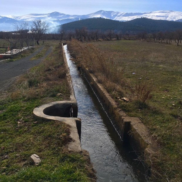
Water is running out. Teresa Ribera, Spain’s Ecological Transition Minister says that southern Spain will see a drop of 40% in water resources by 2050 with increases in drought and desertification. Over exploitation of natural aquifers and illegal digging of 500,000 boreholes are leading to disaster. Every effort to control wanton water use is met with fierce and powerful resistance. 50 years ago 5% of olive production was irrigated. In 2015 it was 20.6%. Now it’s 35%. At a time when there is less and less water available.

The temptations are obvious but shortsighted. By irrigating it’s possible to increase yields from 2 -5000 kg/ha to up to 15,000 kg/ha. But studies have shown that it can increase compaction, erosion, loss of organic matter and leaching of nitrates and phosphates into groundwater, 28% of which is now close to or above potability levels. Over half of the olive plantations are on a slope of more than 10 degrees – making them very vulnerable to erosion given the usual clearance of all vegetation around the trees.

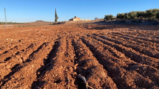
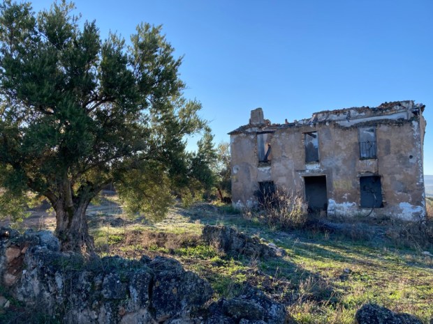
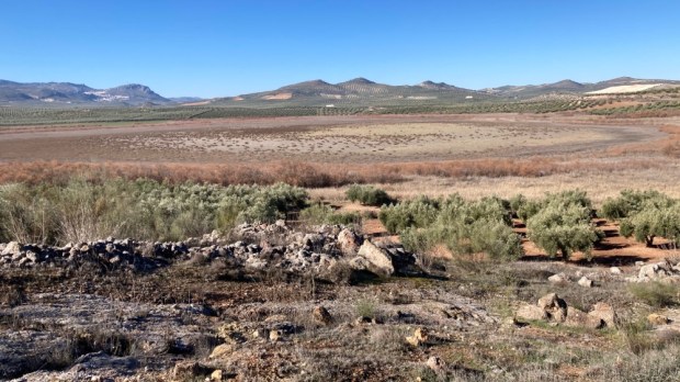
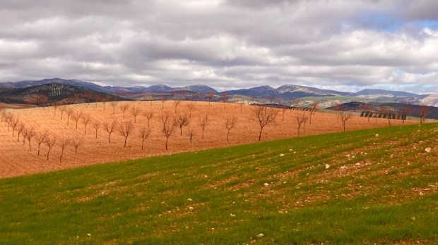
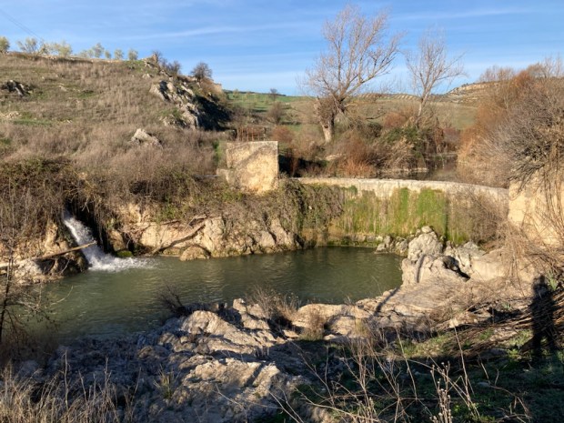
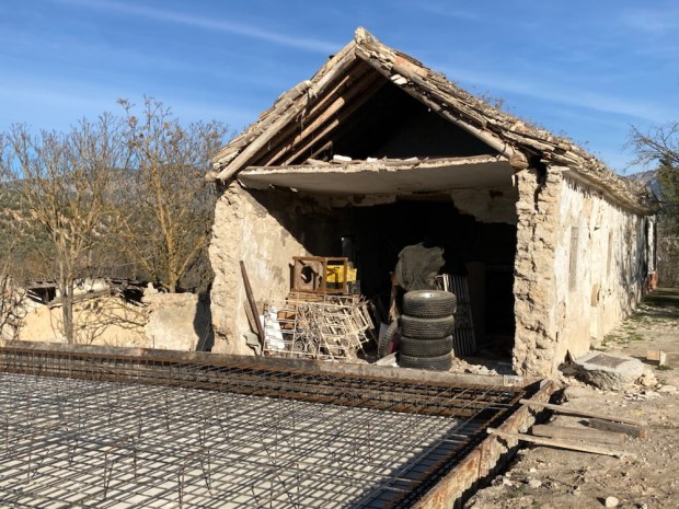
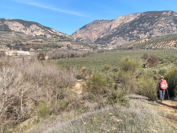
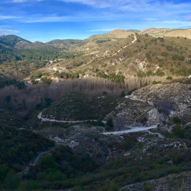
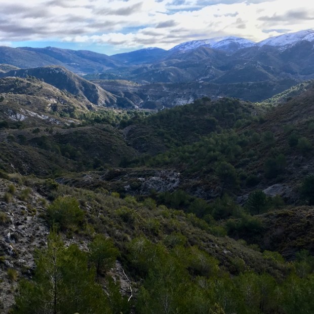
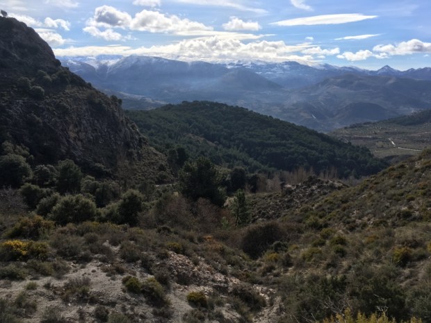
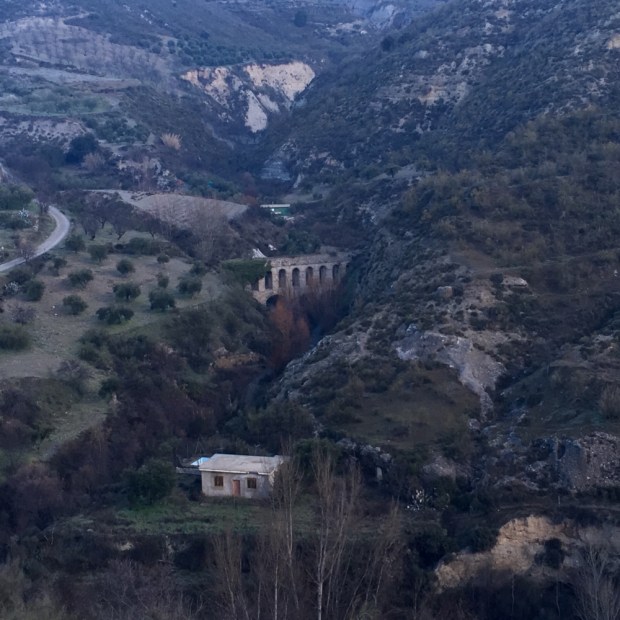
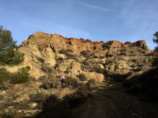
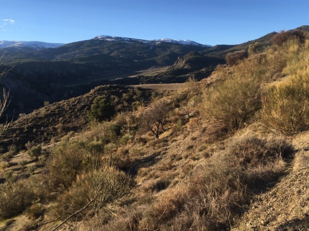
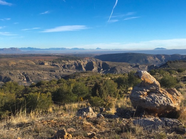
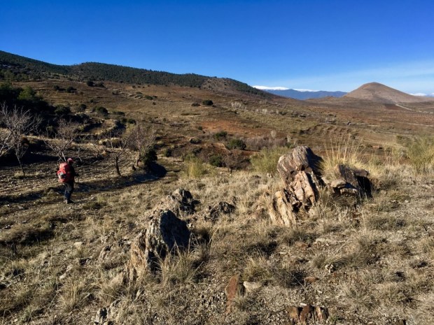
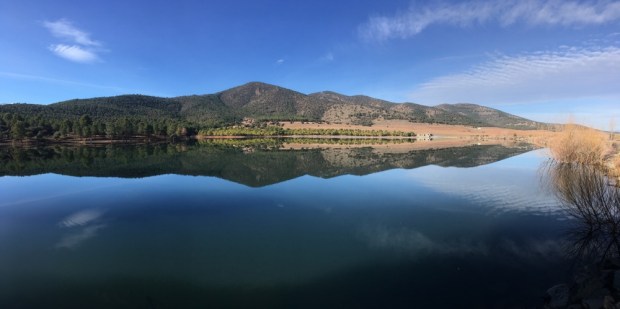
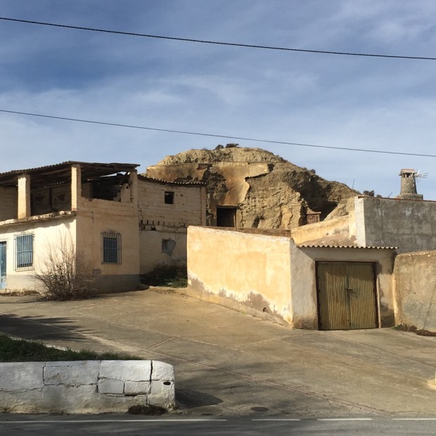
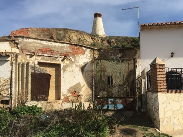
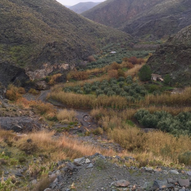
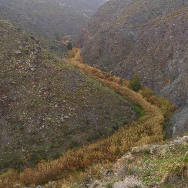
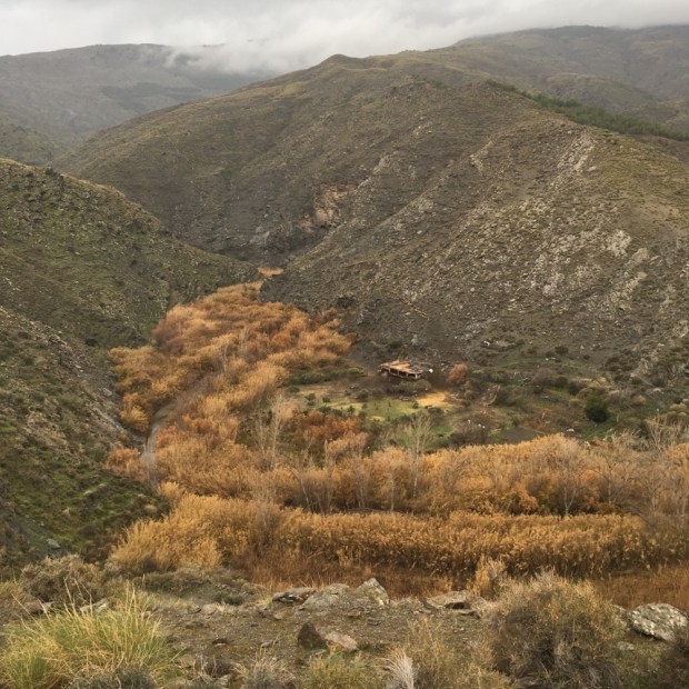
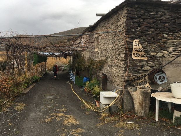
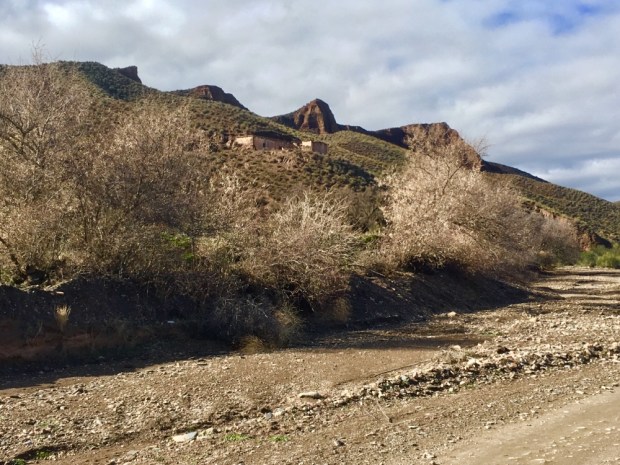
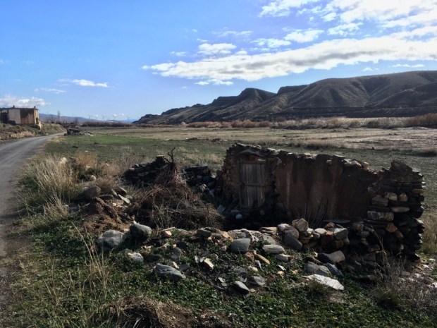
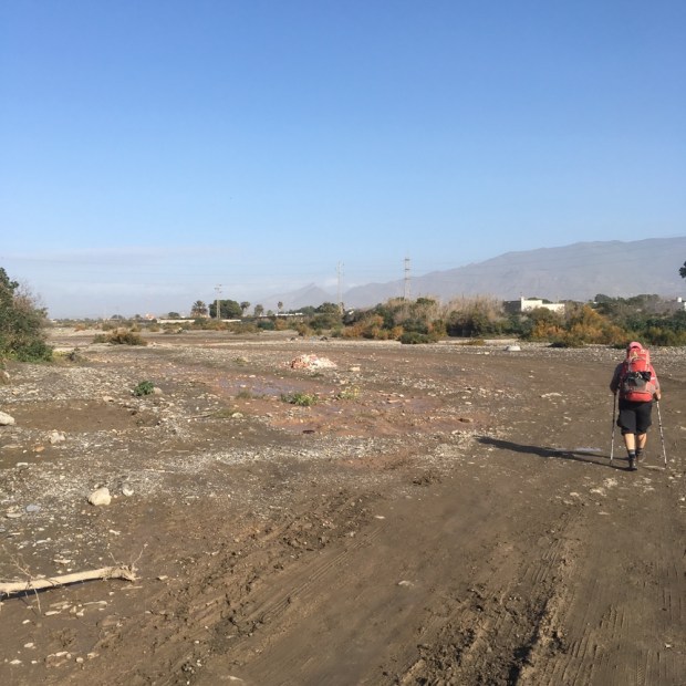
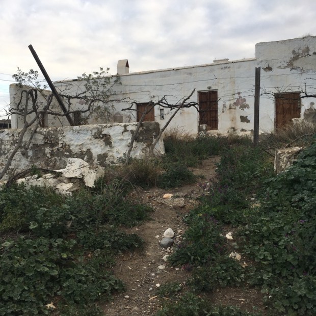
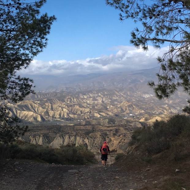
So much seemed at stake as we continued on up over sandy lifeless hills and down into dry river valleys, and past empty reservoirs and lagoons. The stark sight of abandoned homesteads seemed a fitting symbol for past and possible future.

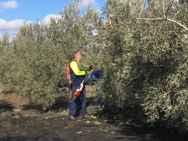
The investments in the olive oil industry have been huge – in the grubbing up of old and replanting with new varieties, the machinery and mechanisation of the harvesting and building of new and bigger milling and processing plants. World consumption has skyrocketed and foodie fetishes have developed. In contrast to the industrial and intense mass production of the oil in most kitchens is the El Poaig oil from hand picked olives on the millennial trees of the El Maestrat region of Catalonia and Valencia. The registered and protected ” arboles monumentales”, from 1000 to 2500yr old produce an olive whose oil sells for €160 for a 500 ml bottle.

There are some hopeful signs of change as grant schemes are introduced to support more sustainable methods and the Andalucian regional government has presented a draft ” Law of Olive Groves” with sustainable management as one of its chief targets.

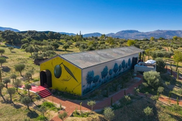
There is a burgeoning Olive Tourism sector with interested people paying for stays on farms, visits to mills, oil treatments in spas, tasting sessions, cooking courses and olive picking “experiences”. They want something authentic, traditional, organic and sustainable. Philippe Starck the designer is promoting this idea in a big way. His company LAOrganic already has a 25 ha Oleotourism attraction outside of Ronda where you can stay and taste and spend and has started building an €11 million organic oil mill there.

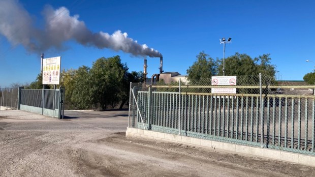
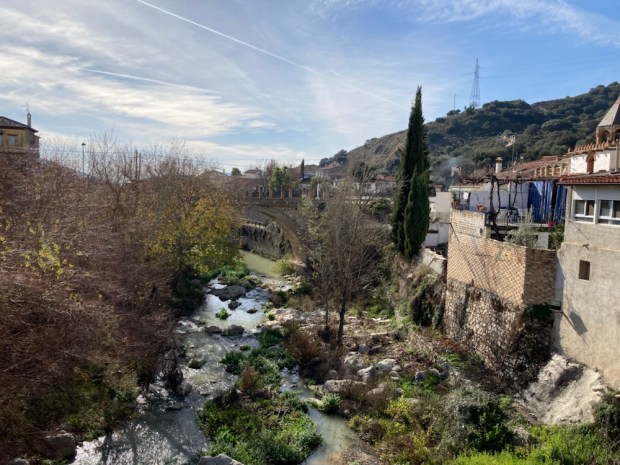
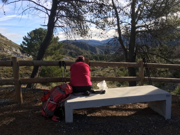
Nearing the end of our journey we rested awhile on the Via Verde cycling route on the old railway line overlooking the sadly dry wetland of Laguna del Conde before climbing the last long rise and finally, with the end in sight, passing the belching processing plant we had left 5 days before. Up through the scrubby wastelands of semi developed suburbia and back to our thankfully unmolested camper.

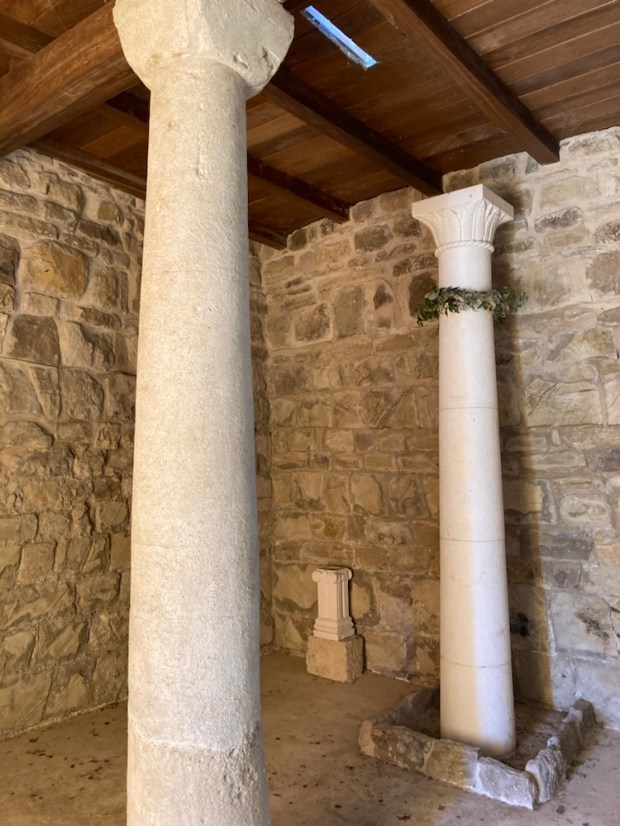
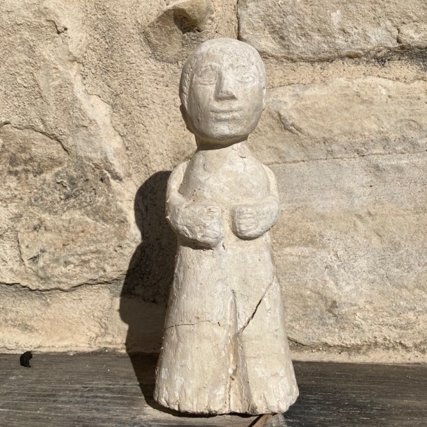
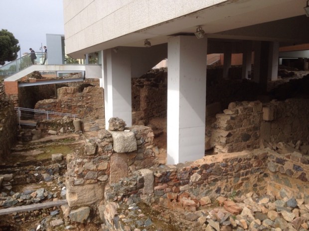
For a finish the next day we visited a remarkable site. Discovered under a hilltop olive grove not far from Baena was the Roman town of Torreparedones. Years of excavation have revealed hidden splendours from 2000 years ago when the Romans were planting olives here and exporting the oil back to Rome in huge quantity. So much that a 50 m hill near the port there was found to be almost entirely made up of 53 million amphora from Spanish oil.! It’s been going on a long time.

One of the remarkable finds was a temple devoted to Iberian/ Roman god Juno where the North/ South axis and clever construction made for mid summer and mid winter noon sunlight displays.

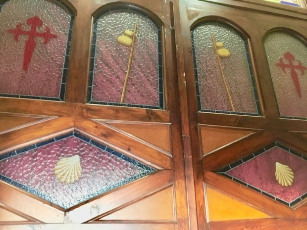
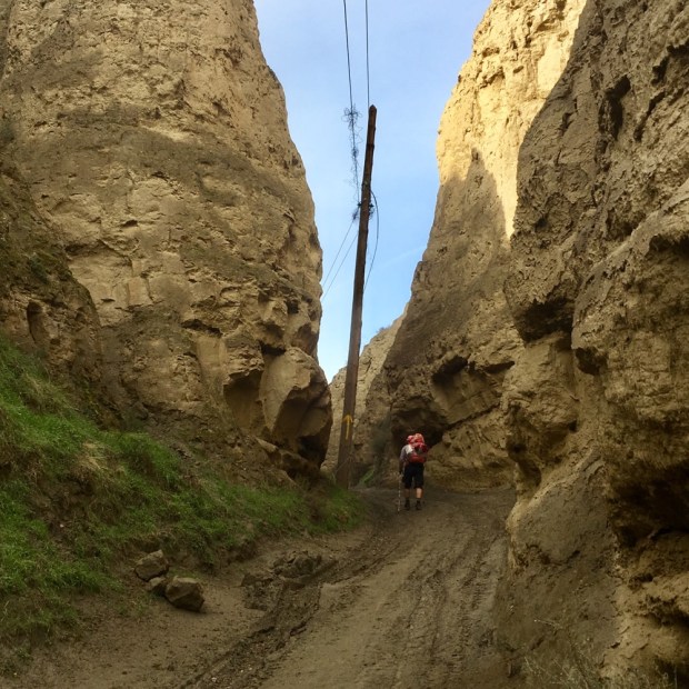
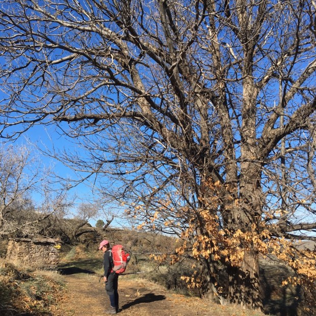
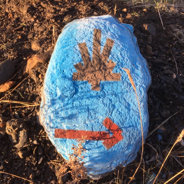
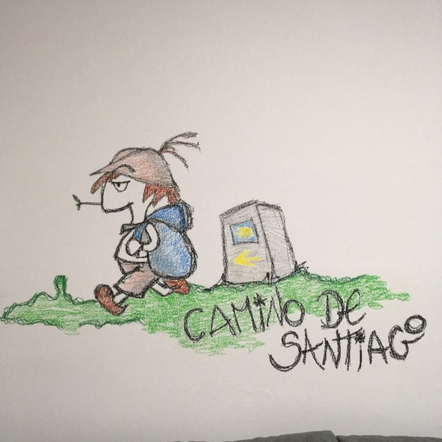
Who knows what lies beneath as you walk the Camino Mozarabe.

CAMINO MOZARABE: Granada to Baena 2

We left Moclin pre dawn, without going the extra metres to explore the fortress or church built on the site of the ancient mosque, and under the watchful gaze of the many Moorish lookout towers perched atop hills for miles around, we descended to the valley below. We past some spectacular via ferrata routes up imposing cliffs and a tranquil fuente and wash house.

We were heading for Alcala la Real, a hike of 22km, through a landscape of rugged rounded hills , wide valleys and high plains all carpeted with olive and fruit trees, fields of grain and grass , crops of asparagus and gardens of lettuce, beans and potato.

It was a chilly start and a cloudier sky than the previous days but walking soon had us stripping off the layers. There was often the buzzing of machinery as the mechanised olive harvest continued and on the couple of sections on the road, the roar of traffic. We had seen the diggings of boar alongside the road and then, unfortunately, a roadkill. But there were also long stretches with just birdsong as we walked through the trees, along the tracks and passed the old ruined cortijos.

At one point near Ermita Nueva we stopped at a prize winning cheese maker and bought a big chunk of his sheep/ goat semi hard. Delicious. He was proud to give me a taste of his “all natural” wine which was also delicious so of course I bought a 2l bottle and left the place with a pack 2kg heavier. Just down the road we passed his brothers herd of goats, munching contentedly on olive leaf and twig- an unwanted byproduct of the harvest. In need of a rest and food and stimulants we tried a short cut to a garage/cafe/bar on the main road. All good until the final few metres when a deep and stinking arroyo blocked our way to nirvana. Nothing for it but to force our way through a jungle of king brambles and clamber over the ditch using fallen trees. And enjoy a brandy coffee.

Later we passed a massive solar farm under construction and looking back at it we saw our last view of the snow clad Sierra Nevada. And then on weary legs we were into the outskirts of Alcala, drawn towards the imposing castle and our room. Later on we hit the streets. It was Three Kings night. The next day was Epithany, a public holiday, and there was merriment to be had.

Another early start in the gloaming next morning with 23.5 km to do to Alcaudete. A rash of roadside crosses to start and then, as the day warmed up under blue skies, more tracks and trails through the multitude of olive formation planting. Driving through the area you might conclude that it was an homogenous, monotonous monoculture but at walking speed the differences in the details make for great variety of view and terrain.

It was sad to see the erosion of the soft sandy soils and sad to see the dying prickly pear but otherwise it was a beautiful days hike. We got to Alcaudete worried that we’d have no food again with all shops and restaurants shut for the holiday but just before our room was a fine bar and fine food. Fed and watered we could retire to our room and admire the view of the castle.

CAMINO MOZARABE: Granada to Baena 1

Off we go again. Continuing the Mozarabe from where we left off 2 years ago. This time it’s a 5 day, 105km pilgrimage through the olive trees of Granada and Córdoba provinces to meet the route from Malaga I walked 6 years ago at Baena.

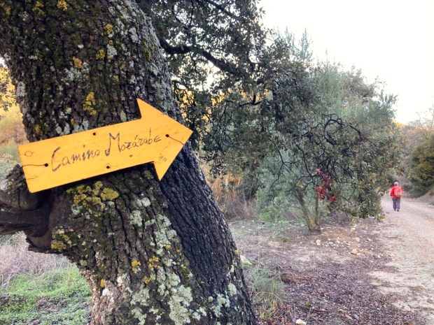
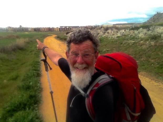
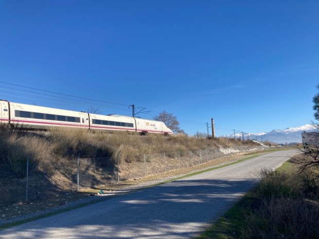
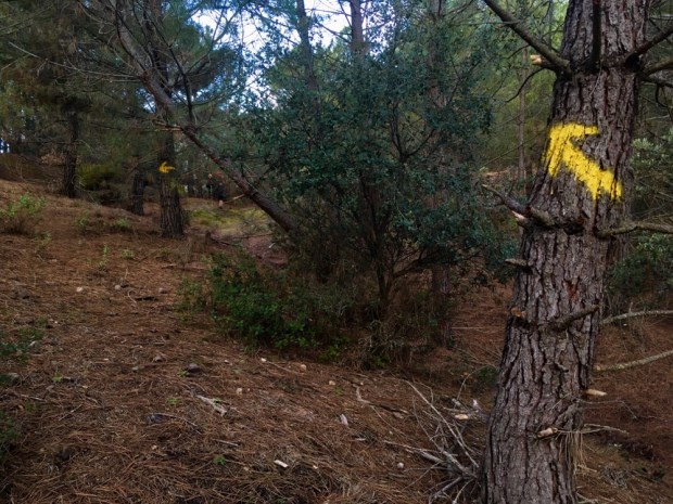
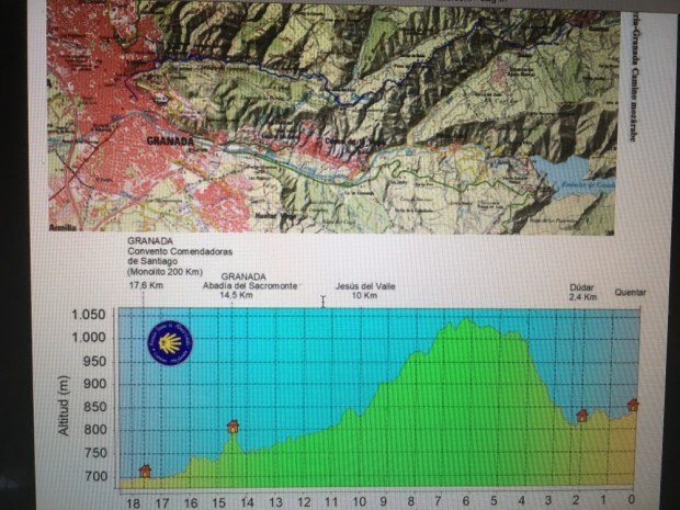
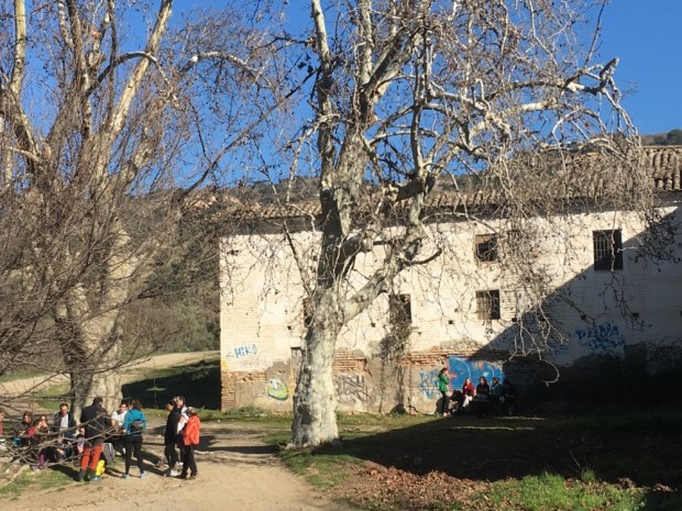
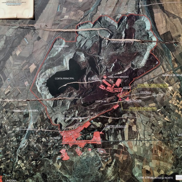
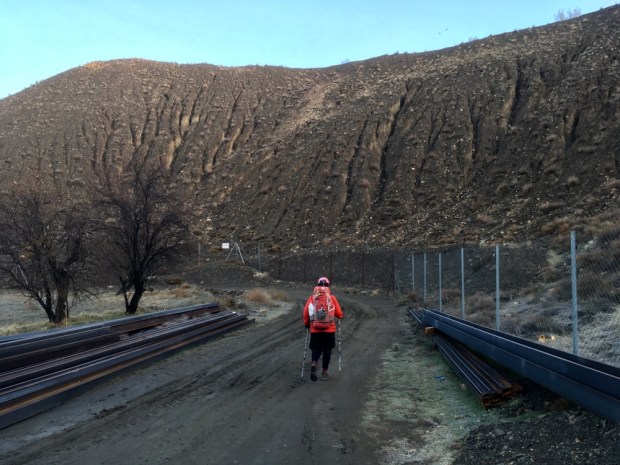
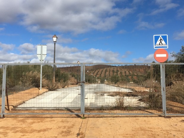
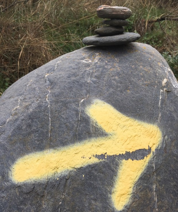
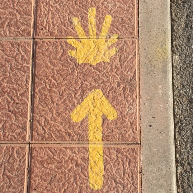
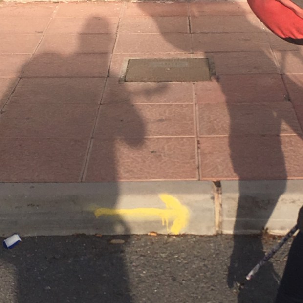
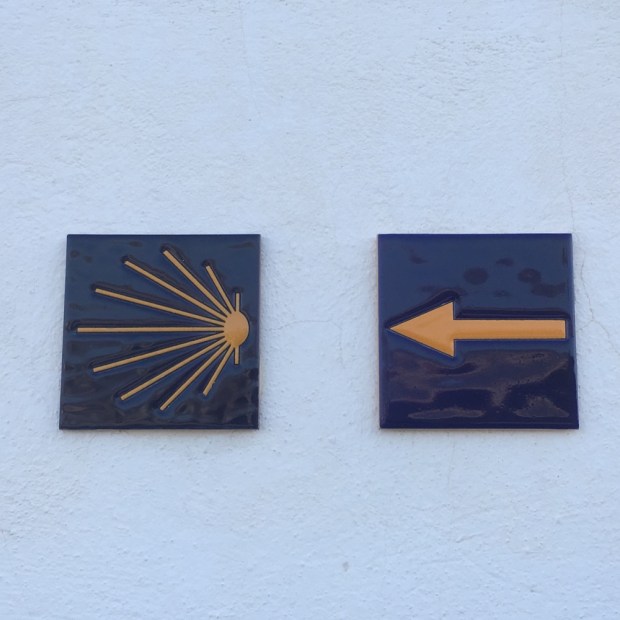
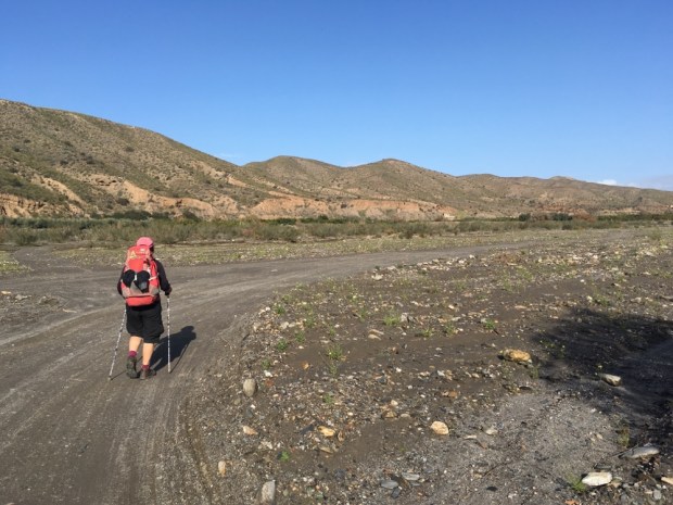
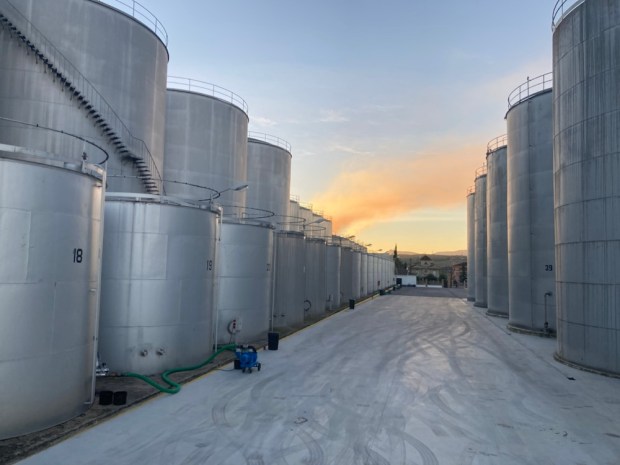
We parked up there overlooking a massive 24/7 olive processing plant, and in the morning left the camper and took the bus back to Granada, found our first arrow, and set off through the suburbs and industrial estates and out onto the industrial farmland beyond.

At one point the route was blocked by drainage works and a young jobsworth tried to stop our progress before an old hand, seeing we were peregrinos, led us through towards Santiago. The power of the pilgrim! Looking back the snow covered Sierra Nevada slowly shrank as we walked beside deep irrigation channels of pretty foul smelling water and, after Atarfe and its monumental roundabout sculptures, beside the high speed railway line to Seville. We clambered up an embankment and entered Pinos Puente after 20km and 4 1/2 hrs walking. Not too bad for first day.

The hotel Montserrat looked after the pilgrims well giving us a 3 course dinner and a bottle of red for €10 each- and a fine bed to sleep on. Unfortunately we were dismayed by the huge amount of rubbish dumped on the roads and more shocking- in the river- as we made our way out of town in the morning on route to Moclin 16 km away.

The ornate ceiling of the bridge tower sheltered loads of swallow nests.

At last in open hilly countryside, but still on the road, we passed a ruined drying shed ( but had no idea what might be dried ) and poplar plantations , freshly pruned, growing alongside a river that offered the chance to swim in old mill ponds and natural rock pools – a bit cold today though with frost on the shadowed ground.

We finally turned off the tarmac at the ruined buildings of Cortijo Bucor. New huge concrete structures were being built hard against the crumbling originals, although the fine hacienda still seemed to be functioning, perhaps not its private chapel. There was a bit of an air of dereliction and it was sad to see way the dogs were confined- a familiar Spanish tale.

From there the Way led us through olive plantations on what looked like the original road. Still with cobbling intact in places in took us along the river valley on a track that rose and fell on the shoulder of the hills towards Olivares.

Crossing the river Velillos into town we had hoped for a cold drink but the bars were shut so we continued on. This was the hard but pretty stretch, a climb of 400 m up a track for 3.5 km to our destination.

We stopped for food and rests at the sadly somewhat derelict area recreativa and again higher up where an amazingly complex structure was also rather unloved.

A mirador higher again gave us views over the entire days hike as well as down into the dramatic river gorge and up to the Moorish fortress walls of Moclin. Neolithic cave paintings were found on the cliffs below the castle and have been recreated in signage and motifs around the village.

By the time we struggled the last few metres to our room for the night we had hiked over 16 km and the final climb had been tough. Our accommodation had been nicely renovated from ancient buildings and we looked forward to using the kitchen when the shop opened post siesta.

But it didn’t, and neither did the bar. No food, no drink. Luckily, whilst standing shocked outside the shop, the lady who had let us into our room appeared in the plaza and kindly gave us a couple of oranges and bananas and toms and eggs and tins of tuna and some bread. Praise be. The Camino provides.

But not alcohol!

CAMINO MOZARABE: Almeria to Granada 5

Tocon to Granada.

Both of the last two stages of our journey on the Mozarabe from Almeria were spectacular and we were glad we had given ourselves the extra time that the stop in Tocon had allowed. It would have been a long haul from Peza to Quentar in one go, as it was we only had 16 km from one albergue to the next. As we walked past the big walnut trees below the bar, whose nuts the family had been cracking as we’d had dinner the night before, a woodpecker was hammering away in the branches above us.

We walked out of the village on the road for a km or so then turned up through boar churned woodland to a sparsely vegetated hillside and rejoined the original Quéntar route along a gravel track that climbed higher and higher.

Juniper appeared amid the white crazed rock that covered the landscape and we followed the track in a massive zig zag down to an area recreativa among riverside poplar trees.

Climbing again we passed through a pine wood that had been tapped for its resin. This thick sap like substance produces both rosin and turpentine. Apparently demand is on the increase because the natural material substitutes pollutant petroleum derivatives.

Higher and higher the track led us to more and more spectacular views of the Sierra Nevada’s and the hills that enveloped us. New benches,map boards and post and rail fencing were signs that there was a fair investment in encouraging this Camino route or hiking the area in general.

And then we finally reached the highest point of the entire route at the bizarre surroundings of an old talc mine. 1418m high with views across to the highest peaks in mainland Spain, covered in a smooth shiny white blanket.

What goes up must come down, and so we started our descent towards Quentar, passed some lovely fincas set among a sea of olives.

The almonds were flowering nicely as we approached the village, busy with bees from the hives we’d seen higher up the trail. Soon enough we were in the town and installed in our little hut complete with a tiny terrace in the sun.

Our last day. Quentar to Granada 20km.

Following the yellow arrows down through the town in the morning we reached the river and turned along it, watching the ducks ride the mini rapids beside us. Turning up a narrow verdant path that led to a series of well watered gardens and orchards we soon reached Dudar, a village celebrating its saints day and the origin of all the fireworks that we’d heard in our cabin the night before.

Up again out of the village steeply for 200m altitude gain, to arrive at the remains of impressive French engineering works from the 19th century. A major water syphoning system to bring irrigation from one hilltop to another.

We reached the ridge and enjoyed a long hike along the easy track soaking up the distant vistas as explosions from Dudars celebrations echoed around the mountains. For once we were sharing the Way, with weekend runners, cyclists, walkers and motor-bikers.

It was getting busy. And getting cloudy/ smoggy- we weren’t sure. But we were above the thick blanket that covered Granada. Our route turned down off the ridge, towards the ruins of a massive Jesuit monastery surrounded by olive groves that were being harvested by a gang of men and a lot of machinery, including the tree shaking tractors with the encircling funnel screens (you’d have to see them).

We nearly lost our way crossing the olive grove-( grove seems to imply somewhere small and intimate and not the immense and poisoned industrial scale monoculture they so often are) but followed the incline down to the rushing waters of the Darro river and a lush path to the gardens of the Sacromonte abbey.

Suddenly we reentered a world of people after 10 days of near solitude. Saturday in Granada is busy of course and we had to adjust quickly as we moved through the throngs in the old city beneath the Alhambra and played spot the Camino sign in the centre.

The various arrows and apps deposited us outside the doors to a church in the corner of the huge monastery of Santiago. We were in the wrong part of the convent but saw all the St James symbols and headed in to get our credentials stamped for the final time.

The place was full of a wedding party- whoops- so Sally waited with the packs outside and, assured by someone who seemed to know that yes , this was the place, I ventured in. I was confronted by all the wedding guests posing in front of the ornate gold leaf alterpiece and was pressed upon to become the wedding photographer on their cameras. After performing my duties to their satisfaction I squeezed through the crowds and managed to get a nun to get our credentials stamped and returned to me in the crush of celebrants. Job done. Time for a selfie.

A slightly surreal ending to a great weeks hiking on what is now my favorite Camino route.

CAMINO MOZARABE : Almeria to Granada 4

Guadix to Tocon

Our first section of the two to Tocon was one of the most surprising to us, with great contrasts in scenery when we had been expecting a long slog across the plain. I guess the profile should have told us.

Of course it worked out a little further according to the GPS by which time Sally’s foot was giving her some pain which took the edge off some the pleasure of walking through such natural splendors.

After a nice night at the man made splendors of the Guadix albergue and admiring the grand edifices of its glory days we followed the signage out of town.

A last minute stop off in a cafe for a peregrine breakfast, we were pleasantly surprised that it seemed to be run by social services and our two big tostadas with tomato and olive oil, two cafe con leches and two fruit salads cost us €3.80. The Camino provides! Suddenly we were away from the buildings on a dirt track that led up into eroded hills surrounding good flat farmland- with tractors and even a combine harvester hold up in holes ( in the rock- alongside old abandoned cave houses).

A beautiful stretch followed all the way to Purullena, about 7 km, of an up and down sandy track through pine trees with the “badlands” on either side. The erosion had created gorges that got narrower around us and we found ourselves in a winding tunnel of towering sandstone with openings many meters high.

The old abandoned holes became transformed into a thriving housing sector very shortly when we arrived into town. We had wanted to see the inside of a contemporary cave and the opportunity arose almost strait away with a three story museum right on our path.

The owner explained that the cave houses, with doors and windows shut were pretty constant about 16 or 17 degrees maybe 18-19 in summer. And even in the terrible rain and floods of the recent Storm Gloria the houses stayed perfectly dry owing to the iron content in the fine clay. The structure of the material is such that the ceilings ,and all inside spaces, will hold up as long as the rules governing proportions are adhered to. 40% of the people in his town live in caves and most of the good clay hills have been used. But there is a lot of renovation going on- and some expansion. Must be tricky when your extension is over someone’s bedroom. It would seem a logistical and legal quagmire but he seemed to see no problems and thought it an ideal building method. Another bedroom? Dig away! Another story? A little trickier but no material costs!

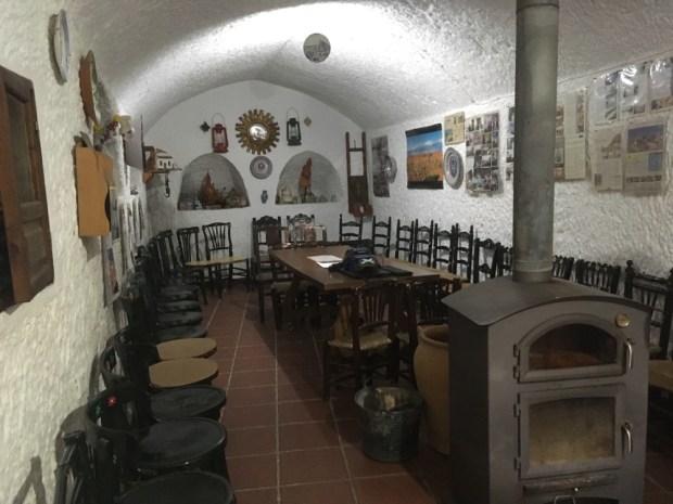
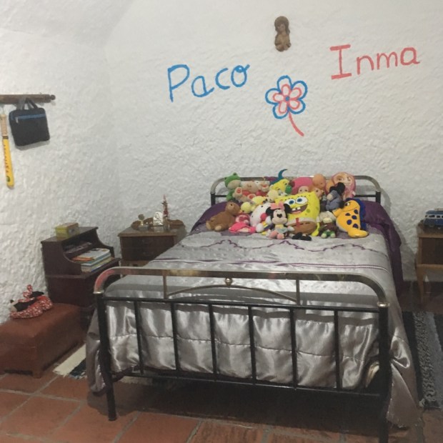
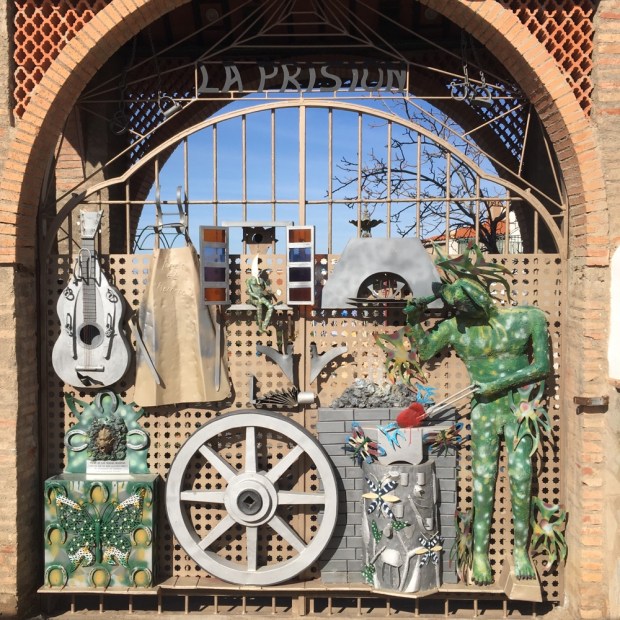
The middle floor was laid out as a home of maybe 50 years ago and the final, upper floor was stuffed full of ethnological artifacts.

We’d spent too long there and hurried on, on paths and tracks between small fields of fruit veg grapes and grain to Marchal, another troglodyte town that was making great efforts to be attractive to visitors and especially, pilgrims.

A high road past amazing rock formations and lovely wood and farmland with bueno vistas took us up in quick succession to Los Banos, with a wealth of hotels and hostals servicing people who come to “take the baths, (there are hot springs here but not accessible to us unfortunately), and Graena where we had a look at the 15th century church and shopped in our first cave supermarket.

A long riverbed track past mostly grapes and cave bodegas and then too much hard surface tarmac road- although the dramatic views made up for it- and we had made it to the 150km marker.

Finally La Peza came into view- and we left the tarmac to switchback down a steep mud track into the village where the albergue in a municipal building was cold but the local bar served a hot lentil stew.

La Peza to Tocon. 15km

We had decided to take two shortish days rather than one really long one to Quentar. This meant climbing up to 1200m again, splitting off from the usual route to Quentar to go to Tocon where the Camino Association in Almeria have procured and done a lot of work to a house and made an albergue. Then after another few Kms the original route is regained the following day. Nice and easy.

So it started with a long climb, but yet again the weather, the views and the interesting country made it a joy. So much so that I sloppily played Louis’s “Its a wonderful world” as we went.

The route was also shared for quite a way with horses, as this was the first designated riding route in Granada province, and we past one of the resting places with a newly made drinking trough.

Descending again for awhile we joined a stream bed beside a road that wound its way up through rocky woodland and jutting monoliths of talc(?) to an altitude where the snow still held on.

At the pass of Blancares the routes split and we made our way the couple of km to Tocon down a charming path with newly made wooden post and rail fencing. The tiny village is in an idyllic setting, with clear mountain water running through- supplying plenty of fuentes. The steep concrete road led us to the albergue on a sunny terrace with views to the mountains and the local bar, the only source of sustenance available, a few yards away. A great place to rest up awhile.

CAMINO MOZARABE: Almeria to Granada 3

So we did this:

from Alba steadily rising to Hueneja at 1200m. Then on the next stage we did this:

Hueneja to Alquife.

Which looks dramatic but was all between 1150m and 1275m so pretty easy going. And GPS reckoned it was 21.5km to Lacho Albergue at the top of town. They are always at the top of town! It was a -2 degree start so the steep initial climb was handy for warming us up as we left the town through acres of almonds and cherries, looking back down onto the Marquesado plain with its dozens of wind turbines. Spain’s second largest, it puts out 200 megawatt.

The iPhone camera is hopeless for capturing the wonderful vista of the snowy mountains of the Sierra Nevada to our south and the Sierra de Baza to our north. The smooth soft blanket looked deep and powdery and we guessed the skiers and snowboarders were having fun.

The pretty village of Dolar after 5kms was having market day so we bought some nuts and fruit and hung out in a plaza bar for a breakfast of tostada and cafe con leche.

We climbed again up and along a beautiful old track with far ranging views over a sea of mostly almonds. Good to see so many healthy trees and so many young ones being planted. Hopefully these can replaced some of the Californian ones that are consuming so much water and are killing so many bees with pesticide usage. Seems like with the rise in vegetarian and veganism the demands for almond milk will grow hugely and here in Spain there was plenty.

The campo was mostly empty of dwellings but we did pass one that will go in my imaginary portfolio of deeply rural, off grid retreats that I’ve been adding to on my rambles over the years. It had a fine old chestnut tree and terraces fed by a complex system of acequia or little irrigation canals. And a view to die for as the agents might say.

We reached the highest point of the day at nearly 1300m and there were still patches of snow on the track. Sally was delighted to find a boar skull from which she extracted the tusks ( a longtime hobby/ interest/peculiarity). From this height we could see the whole 1500 acre site of the massive Andasol solar power station twinkling on the plain below. Using parabolic troughs to gather the suns rays they use tanks of molten salt as a thermal energy store and so can produce power for 200,000 people day and night. Costing €900 million it was money well spent.

Then down to our next stop, in the main plaza of Ferreira where we had our sarnies and I had a non conversation with a lovely old fella I couldn’t understand a word of.

We walked on the edge of the pine forest and natural park with our eye on the imposing castle atop the hill above La Calahora, another charming ancient/ modern mix town. On our way out we passed the casa of an artist in steel whose gates were also imposing.

From La Calahorra we took a bit of a dog leg route to Alquife passing along farm tracks some of which seemed to have been cobbled at one time. We slowly approached the giant mounds of earth and rock that had been extracted by the workers at what had been Europe’s largest open cast iron ore mine. Started by the Romans it had been operational till 1996 but now lay abandoned and in ruins, although there were still some staff and security around. 40% of the iron extracted in Spain had come from this place, leaving a very large hole in the ground which, frustratingly, was out of site.

A few of the almonds had come into flower and where covered by eager bees, although their appetite must be well sated when the other countless thousands are also covered in nectar rich blossom.

We also spotted, on the slag heap behind the mine fence, a big mountain goat puck who watched us curiously but seemingly unperturbed, perhaps knowing he was unreachable.

It was a relief to finally arrive at Lacho, greeted by Manuel and shown around his growing empire. After a shower and rest we returned to the shop for supplies and returned to find a big fire set in the kitchen/ living room which we enjoyed as the sun set behind the snowy mountains and the temperature plummeted.

Alquife to Guadix 25km

After a little climb to start it was downhill all the way the following day.

Leaving Alquife by a track alongside the slagheap wall of earth it took some time to be clear of it and out onto the plain, and some time for the sun to warm the frosted landscape.

But by 10 we climbed into the village of Jerez del Marquesado where it was their turn for the market. Too early to stop, we carried on another 7 km, past some mysterious chimneys that nearly escaped my camera, and up into some pine woodland, adorned with bizarre wooden sculptures of Christian symbolism.

Finally the down hill straight began with a run down through the woods to a big reservoir in a lovely setting.

Cafe com leche and tomate tostada and a stamp in our pilgrim passports were supplied by a surprisingly modern and stylish cafe bar in Cogollos de Guadix where there was also a fine example of the old water cisterns and acequias ( and related graffiti ).

And then we walked out onto the wide, very wide, open spaces of the plain. With huge skies overhead and 360′ views of a ring of distant Sierra it must have been a lonely place to live and a hard place to work. Eventually we came upon a great gorge, and climbing down into it we followed what must be a dry river bed towards Guadix.

A couple of hours later we arrived at the outskirts of the town, with cliffs of sandstone(?) burrowed out into a warren of homes, chimneys sticking up out of the ground like mushrooms. The cuevas barrios are a sight to behold and the houses seem to encompass a range of styles and social classes.

Deeper into the centre of town, around the cathedral, were fine but frequently faded grand old buildings, including our albergue, lovingly restored over the last 35 years and full of fine art and antiques. A treat after a long days hiking.

CAMINO MOZARABE: Almeria to Granada 2.

Alboloduy to Abla- 30km

Stepping out of the albergue in Alboloduy in the morning it was obvious it had been raining during the night from the wet and puddles about but thankfully the skies showed no immediate threat as we left the town to rejoin the riverbed as directed by the markers.

We had left the river Andarax at Alhabia the day before to join the river Nacimiento which would take us all the way to Abla and beyond. The deep rich layers of sediment washed down over millennia had created fertile ground alongside the riverbed that nourished a wide variety of crops but as we delved deeper upstream and away from the town the sides of the valley closed in and we were forced up on an old mule track with views down to the abandoned fincas and their hard won terraces.

The tamarisk and cane wound through the steep sided valley bottom like a golden thread. The trail was littered with the droppings of an animal we guessed to be mountain goats, and sure enough as we reached the tarmac road at the top of the mule track we saw a herd of them bolting away across the mountainside. Turning off the road again we passed an old water cistern built 100 years ago before descending on a zigzag track back to the riverside and another series of mostly abandoned fincas.

From here to the town of Nacimiento, where we stopped for coffee, was a beautiful stretch through cane forests and along a forgotten valley of old abandoned farmsteads, once upon a time busy with working people.

The sky had been darkening and looking more threatening for awhile and we had hoping the weather would hold but soon after leaving Nacimiento, about halfway to Abla, it began to spit, then drizzle, then rain, then lash it down with a strong wind driving it mercilessly straight at us. Heads down we hurried on hoping for shelter. Eventually coming towards the little settlement on the outskirts of Dona Maria I spied a large covered patio opposite some houses. Split into three, each with a door, first two locked, the third open. We hurtled in, throwing off our packs and sopping jackets. The owners were calling from the house opposite, “yes it ok- go in.” Before long ,as we tried to dry things out on the handy washing line and watched the downpour outside, the mother and son(?) arrived with plates of bread and cheese and jamon and a bottle of wine and much kindness and chat. A hard time turned to a good time as the daughter(?) and father all came over with hot homemade cake and hearty handshakes.

Our new best friends. They insisted on sending us on our way with an umbrella each which might not have looked like hightec hiking gear but were given and received with love and joy. And they continued to keep us dry until the next joyful event a few km later.

We had reached Ocana and messaged Nely for the door code of the Association albergue when miraculously she appeared in her carshe had spotted us on her way to check the Ocana albergue. More hugs and directions and off we went again into the riverbed and rain.

Then, bizarrely, a couple of men in a car started warning us about the dangerous waters in the river and said we should not walk there. So they drove us the 5 km to Abla saving us over an hour of sodden hiking. We soon had a couple of electric heaters in the albergue bedroom drying everything and marveling at how the “Camino Provides”!

Abla to Hueneja 22km.

The snow capped peaks around us looked more inviting than threatening the next morning as we set off from the luxury of the well appointed Association albergue, all of which are run on donations and the hard work of a band of dedicated volunteers.

We were now crossing the vast high plain of the Marquesado del Zenitel, a pretty flat and fertile area of fruit and wind farming. We went on the old main Almeria- Guadix-Granada road, the ancient Camino Real, that still has a wealth of different foods and fruits growing in the well tended gardens.

The old highway used to be busy with travelers needing food and lodging, supplied by ventas now in ruins amongst the windmills.

On cue, at coffee time, we were led up into the village of Finana and a welcoming bar before carrying on across the wide plain littered with the remnants of past lives.

Past another imposing but redundant travelers hostelry at Venta Ratonera we reached the outskirts of La Huertezuela where the surreal sight of another Spanish urbanization that never happened greeted us. Abandonment through the ages.

From there it was another 6 km or so along an increasingly narrow and rocky riverbed and heathy and prosperous looking olive farms, over the motorway, and into the town of Hueneja- with its graffiti croc, nice doors and well trained vine.

Housed in a slightly bizarre 3rd floor flat next to a school our home for the night featured murals, fantastic views of the snowy mountains and some beers and wine left in the fridge by previous pelegringos.

Buen Camino.

CAMINO MOZARABE : Almeria to Granada 1.

It’s been 5 years since I was on a Camino to Santiago- 5 years since I walked the Camino Mozarabe from Malaga to Mérida. Myself and Sally clocked up the pilgrim credits on the Kumano Kodo in Japan in November and gained dual pilgrim status for our efforts but being back in Southern Spain we couldn’t resist another ramble on the Mozarabe. This time starting in Almeria, the dry warm southeastern corner of Andalucia.

The route would take us, in 9 or 10 stages, 200 km northwest around the back of the Sierra Nevada to Guadix and Southwest from there to Granada. We would go from sea level up to between 1000 and 1400 m for 100 km.

And we chose the freak weather event of Storm Gloria to start in. There was death and destruction across a great swathe of eastern and southern Spain as we drove through the rain from Malaga. By Motril, 100km east, we were under blue skies. Arriving in Almeria we met up with the wonderful Nely, one of the Camino Angels and member of the Association that looks after the signage, albergues and everything else connected to the promotion of this Mozarabe route.

She showed us where we could safely leave the camper for 10 days then gave us our pilgrim passports for the route stamps and insisted on driving us to the cathedral and the Alcazaba the imposing fortress built by the moors over 1000 years ago.

Next morning we set off down the sea front past the Eiffel designed rail bridge for the couple of km to the cathedral where we got our credentials first stamp of the Camino as mass was given under the fine ornate construction.

And so the long trek out of the city began. The Association had done great work marking the route and we were never left wondering which way to go as we followed a variety of symbols.

We stopped for coffee after about 8km in Huercal and soon after ,with the temperature rising under the blue skies, we passed under the AP7 coastal motorway and headed off on a more rough and ready route- the dry riverbed.

Leaving it only briefly at the old Arab capital of Pechina the riverbed took us all the way to our bed for the night after 21 km, at Rioja, in a wonderful little Association albergue ,decorated with pilgrim floor mosaics, adjoining the municipal swimming pool.

A leaflet there talked about a geological walk from there so we had a look, hiking under the motorway again to a forgotten and sad little picnic park set among some eroding sandstone cliffs.

Day 2 – Rioja to Albodoluy 25.5 km

We were blessed again with dry weather overnight and as we set off under a mixed sky of pale predawn milky blue and darker clouds over the mountains to the east, we had our fingers crossed that the awful weather suffered elsewhere would not come this way. A small road beside and above the river led us to Santa Fe de Mondújar passed some old cortijos that had seen better times.

Things improved in Santa Fe where we stopped for coffee and tostada in the charming square before heading off, finally, into wild country, with wide open vistas, rough paths, riverbeds and the desert like Badlands around Alhabia where we stopped for a tapas lunch after 16 km.

Another 8 km ( according to my Garmin GPS which seems to disagree with other sources of information) of track beside and on riverbed passing a wealth of rich fertile lushly irrigated gardens and orchards and we turned into a huge cleft in the hills to encounter Albodoluy, our destination for the night.

Another lovely Association albergue awaited us, with seriously hot water in the shower(s!) and a fine kitchen. Again, we had the place to ourselves. The last folk went through a few days ago and it’s pretty quiet at this time of year.

Tomorrow is a big one. At least 29 km but I’d say my GPS will say 33 km. And it’s uphill all the way.

With a big lump near the start. And rain forecast. And snow at the top.

CAMINO MOZARABE: Merida to Merida 20th March

14km (without getting anywhere)

It’s just as well I’m heading home. My boots are finished. The soles are so worn that there are loads of holes that little stones keep getting in. More strap fixings on my rucksack have given up and it’s held together with baler twine. On the techie side of things my data allowance is running out and my charging lead has got very iffy. 

I’ve been exploring the ancient Roman city of Emerita Augusta, capital of Lusitania, one of the three provinces of Hispania and now, as Merida, the capital city of Extremadura. Big areas are fenced off and semi excavated- other architectural remains have had office blocks built on pillars above them. It’s a bit of a culture/ history clash at times but the modern city does its thing while accommodating layers of the past. 

It’s not just a Roman past on show either. Visigoths, Moors and then Catholic Spanish have all left their mark here and you buy replicas of all of it. 


There’s so much stuff here it’s left lying around on roundabouts. 


I started my sightseeing with the Acueducto de Los Milagros

before moving on to the Museo de arts Romano, a building that incorporates a 2000 year old housing estate in its basement. 

Just around the corner was the Ampiteatro with ahead of its time street lighting
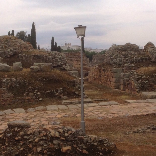
past some baths

and the Portico del Foro

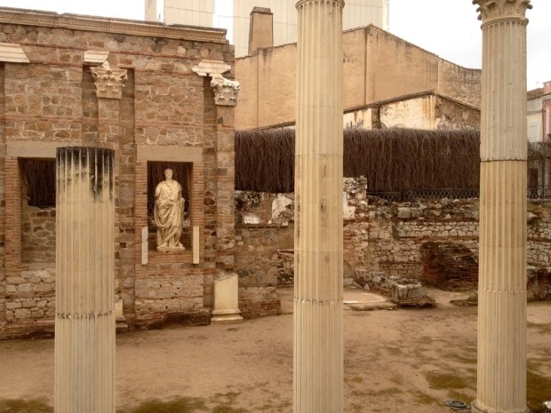
to the temple of Diana


The Puente Romano, spanning the Rio Guadiana,

is pretty impressive


The entrance to the Moorish citadel Alcazabe not quite so


Next door government offices are built over Edificio Multiple


So that has saved you the bother of visiting Merida. 

It felt strange to be walking about without a rucksack and I can hardly manage without my poles now. It felt very wrong to be going on the opposite direction to the yellow arrows- but I’m still watching out for them. 

CAMINO MOZARABE: Torrefresneda to Merida 19th March

28km

There was a miscalculation in the remaining kms so it took a bit longer than expected today. I crawled out of my bunker to a clear sky and I could see my breath on the air. My new sleeping bag ( not a Lidle product) had done well to keep me cosy. It was a few km to Torrefresneda and a cafe con leche in the bar with the boyos. It’s such an early morning hang out in every city, town and village for the lads. Nowhere like it in Ireland. This was a real one mulo place. Basically one road through a new village to accommodate agricultural workers. But they still had the civic pride to design and build an  amenity that no one will ever use.

The buildings were all low rise and the same.

Slap bag In the middle of miles of intensively productive farmland with a motorway running alongside I wasn’t tempted by the for sale signs. Of which there were many.

The landscape might have been a bit grim but the walking felt good and I flew along listening to my favorite tunes of the last 2 1/2 months.

With the motorway one one side and a natural park on the other

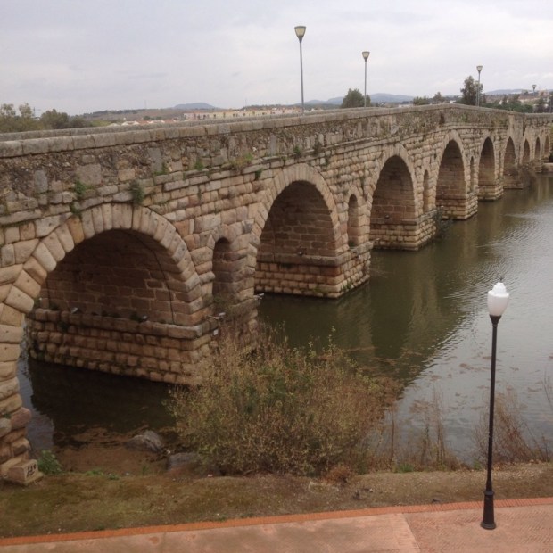
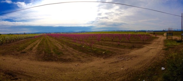
and the storks nesting on the pylons between the fruit trees

I carried on to San Pedro de Merida where more civic plans had gone belly up.

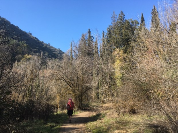
and on through more “countryside”

Until I came to the outskirts of Merida

A big city that luckily was well signed for the peregrino.

Past many Roman bits and pieces to the river and a old mill ow serving as an albergue and my home for the next two nights.

After weeks on the Camino Mozarabe with no one about this place is alive with pilgrims on the way to Santiago from Seville. I say alive, of course they’re all in bed by 9.

Bloody pilgrims!