A year and a half after I first hiked some of St Declans Way in Co. Tipperary I went back to complete it last June. Previously I had walked the ancient route from Cahir north to the finish/start at the famous Rock of Cashel, and then returned to Cahir along the Tipperary Heritage Way following the River Suir. This time I started again at Cahir and continued south for 3 days to reach the Co Waterford coast at Ardmore where Declan is said to have founded Ireland’s first monastery sometime in the 5th century, and beating St Patrick to the claim of bringing Christianity to the Irish.
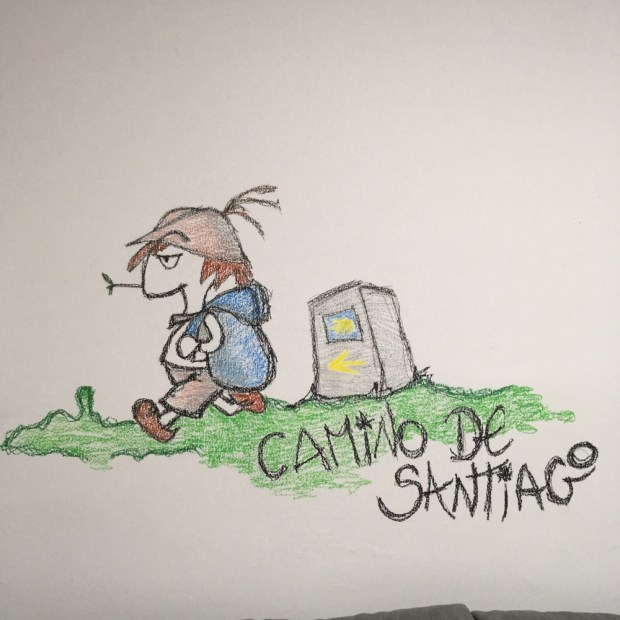
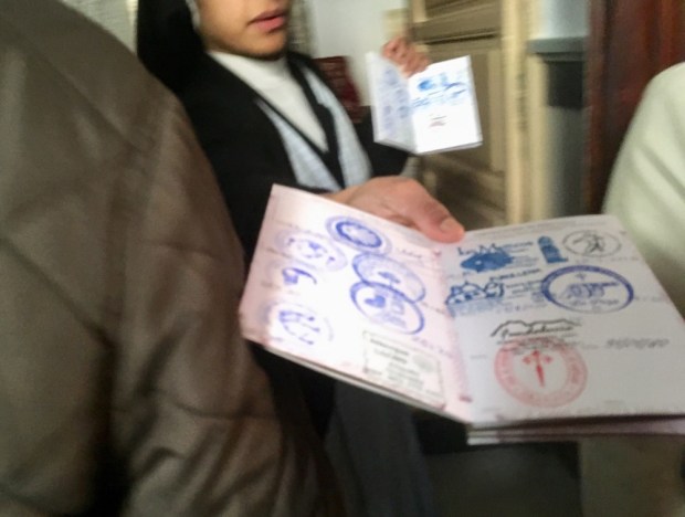
With the pilgrimage revival in full swing and this route being dubbed the Irish Camino, my hopes were high. There has been a lot of promotion of this and other Ways recently and now, thanks to the Camino Society of Ireland, 25km walked on Irish pilgrim paths will count towards the 100km needed to claim your certificate or compostela in Santiago.
Indeed, there is now now need to travel to northern Spain to obtain a certificate, with Irish pilgrim passports stamped on completing 125km over 5 routes in Mayo, Wicklow, Cork and Kerry entitling you to a Celtic Compostela.

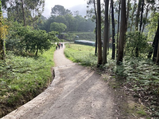
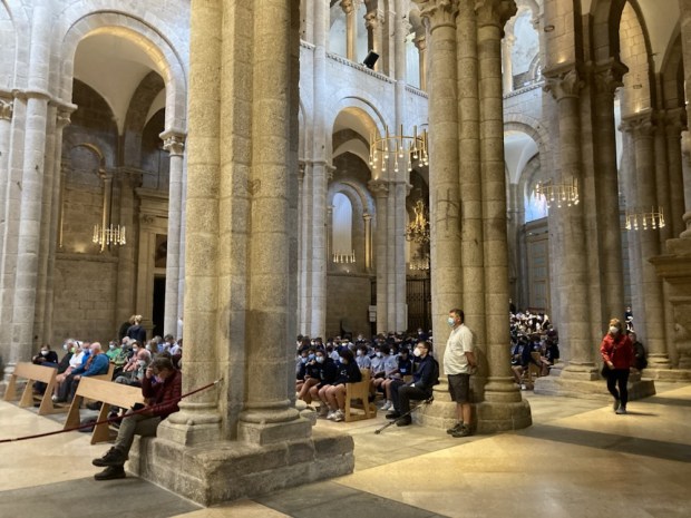
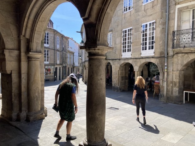
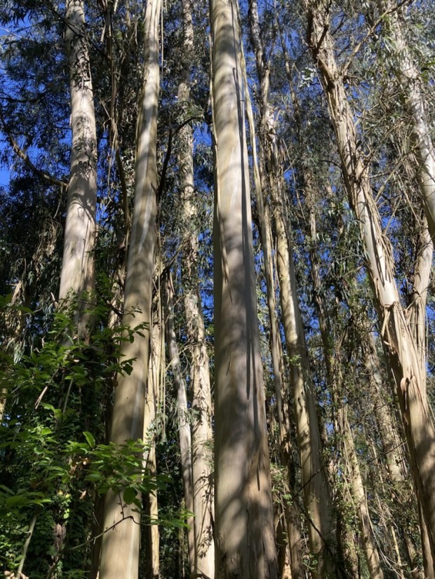
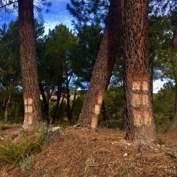
And so on a fine midsummers day I set off from Cahir Castle admidst a bustling crowd of holiday makers. A quick stroll in the riverside park to admire all the tree trunk carvings and then I followed the Tipperary Heritage Way signs through a woodland thick with “fairy” houses and along a sunlit dappled path passed the golf course and towards the rustic and ornate “Swiss cottage”.
It was there that the first directional confusion occurred. I was working off the maps that were produced in the mid 90’s, when the route was initially devised and laid out. These maps aren’t the most clear or detailed but were all I could find. I had also managed to download the route on to my phone Viewranger app but this disagreed with the maps and all physical signage had disappeared. Calling into the Swiss Cottage reception for help the ladies informed me that there seemed to be a lot of directionally confused people trying to locate the Pilgrim Path nowadays and were unable to shed any light on which of a multitude of choices was the right one.
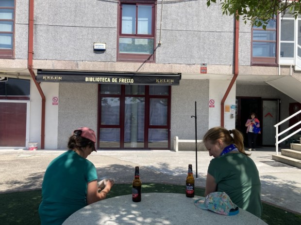
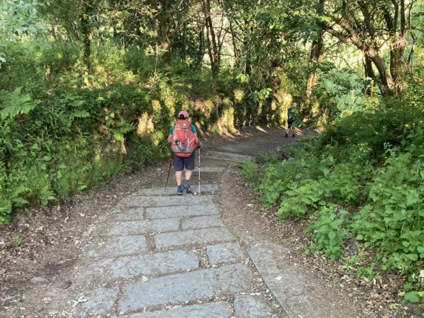
2018 had been billed as the official relaunch/ revival of the route, touted as being fully signed and “de-vegetated”. I knew that the very active “KnockmealdownActive” group had organised a series of 5 hikes over the entire route on the last Saturdays of the month, starting in March, and had been attracting about 300 people a time, but these were of course guided hikes without the need for signage. Considering the fanfare that accompanied the relaunch and the €150,000 from the Rural Recreation Fund to get it together I was disappointed over the next few days to be confronted with old, fallen or hidden signage from the 90’s and often no signage at all, abandoned at the crossroad.
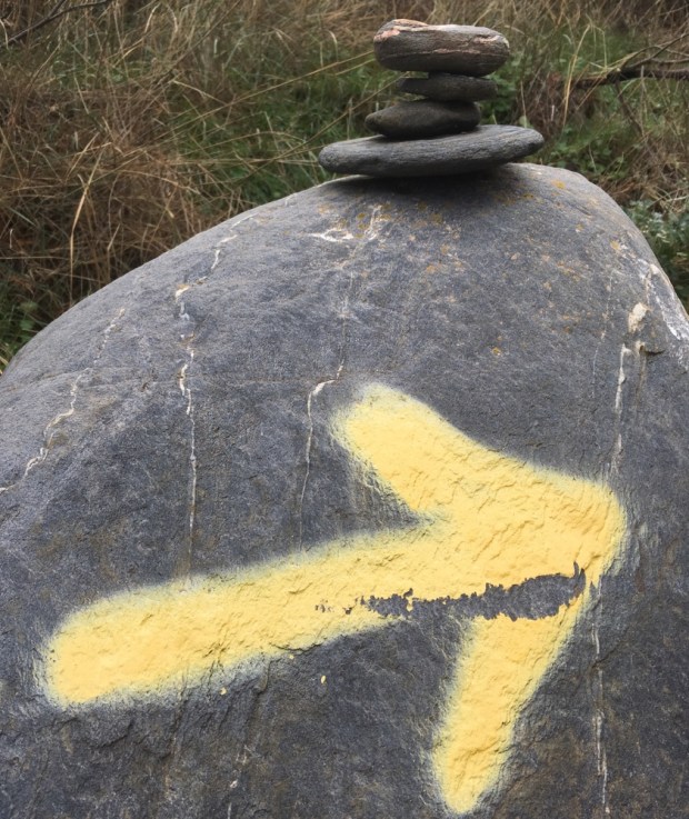
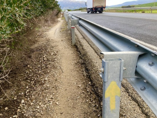
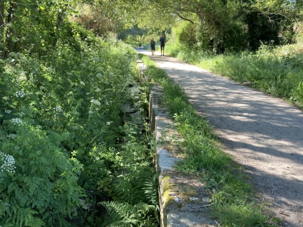
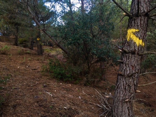
After following the wide and sparkling Suir for another km or so I was led up to a road where I was heartened to see a yellow arrow, a sure indicator of a pilgrimage route, even if it was pointing in the opposite direction to mine.
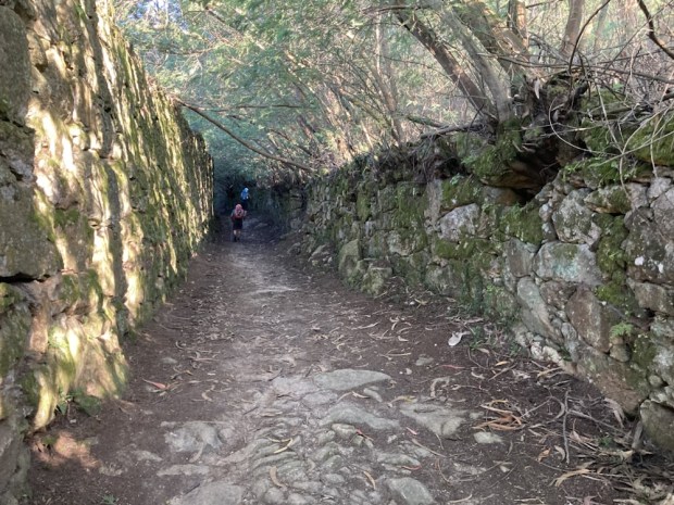
It was more than 10km of tarmac road before I crossed the Suir again at Ardinnan on small roads that roughly followed the ancient Rain Bo Phadraig, the Track of St Patricks Cow, through lush and productive grain growing farmland, occasionally passing the earthen cottages of a bygone era.
Ardfinnan, now a sleepy village, had once been an important and strategic stronghold, protecting a major route into the province of Munster. The castle from around 1100 was built by King John, later to be owned by the Knights Templar and the bishop of Waterford before being sacked by Cromwells cannons. I stopped here for a fish and chip dinner by the river before pushing on toward the Knockmealdown Mountains another 10km away to the south. I had to backtrack a little when I missed the sign hidden in the hedge. I was now following the Heritage Way again until the forested slopes of the Knockmealdowns.
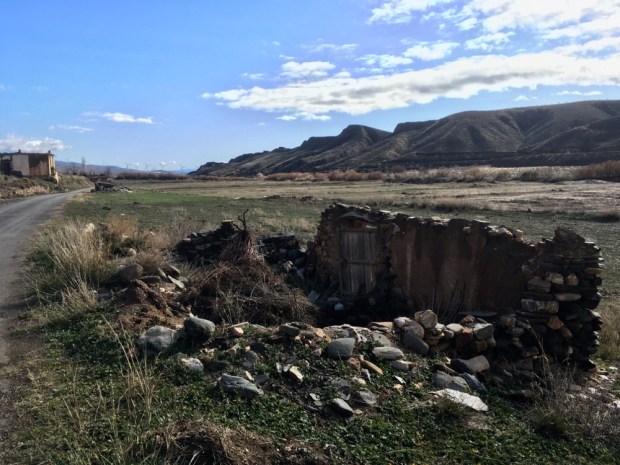
A few kms to the south of Ardfinnan lay the ruins of what must once have been a beautiful monastery whose history is now lost in obscurity. Lady’s Abbey has been dated variously between the 12th and 15th centuries and lying, as it does, alongside the Rain Bo Phadraig-“the most important Ecclesiastical highway in the Diocese” it must have witnessed a lot of foot traffic over its life, including the shuffling lines of the starving in the famine years as they made their way to the nearby poorhouse.

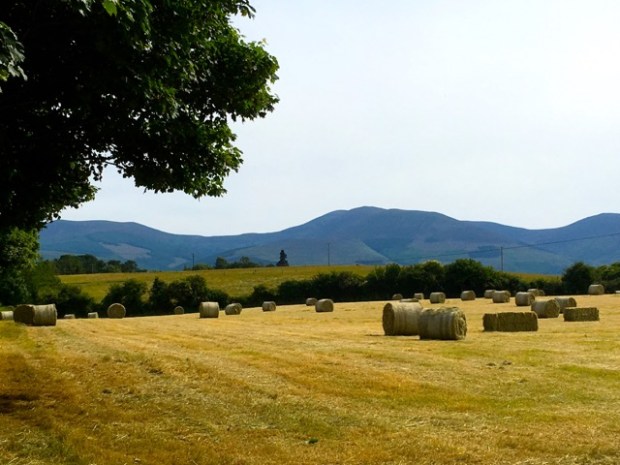
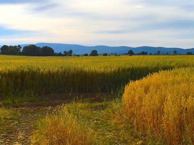
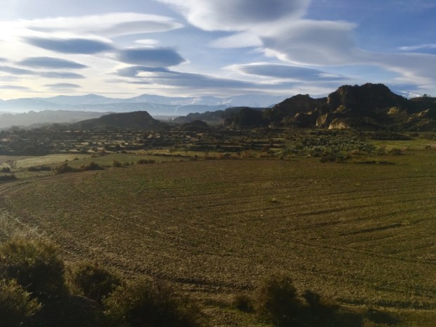
The renowned fertility of the Tipperary landscape showed through in the golden grain as I passed fields of barley, oats and wheat awaiting the summer harvesting.

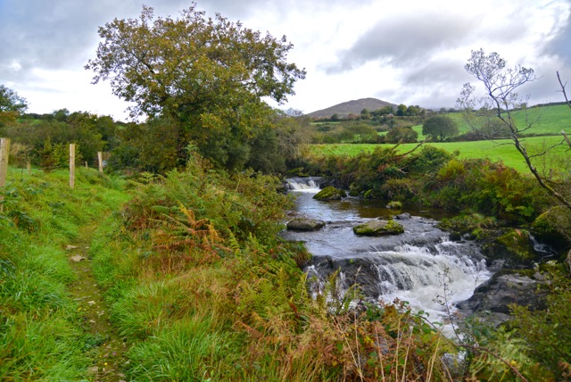
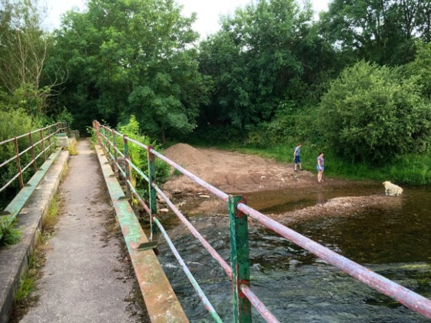
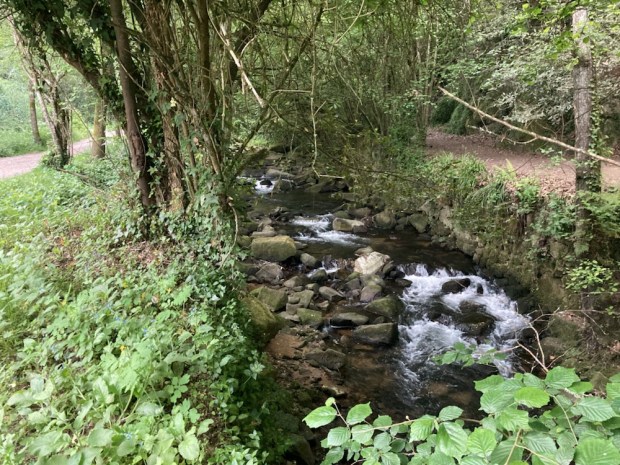
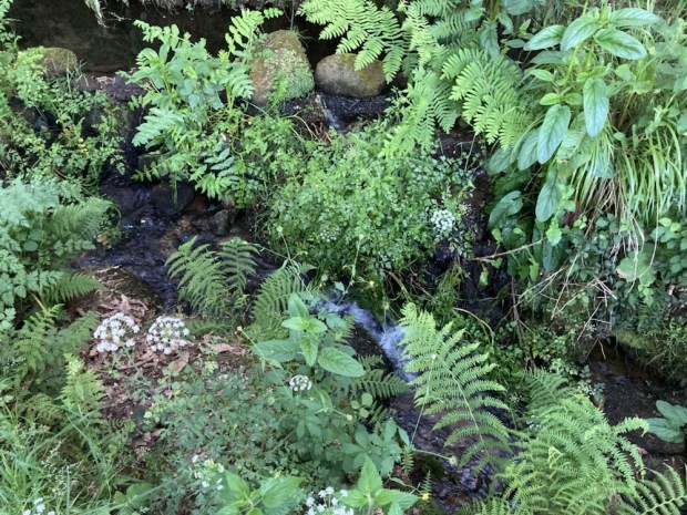
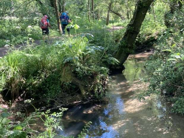
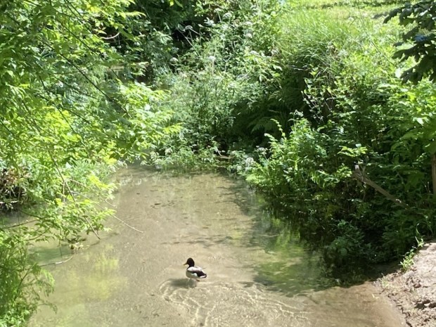
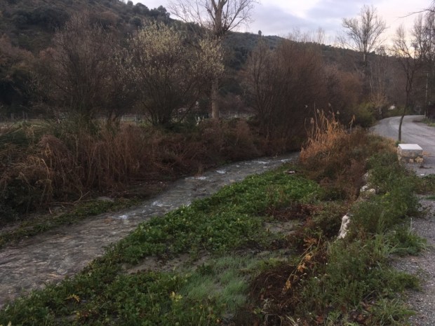
Another few kms walk on the quiet backroads and I was led down a path to the River Tarr, a tributary of the Suir, where i crossed on a 1930’s metal bridge while a dog chased sticks in the wide and shallow waters below. The river, which rises in the Galtee mountains to the northwest, meanders across the limestone through which a couple of mighty springs bubble up, feeding the flow of clear waters. It’s rich in life; salmon, eels and sea lamprey and has a reputation as an excellent brown trout fishery, which in turn attracts herons, egrets and kingfishers.
Not far down the river, when a fine new stone bridge was built to span the Tar, the first pedestrians to cross were a couple of goats and so the village that grew there became known as Goatenbridge. The evening was drawing in and although it was high summer and the light would stay with me for a few hours yet I was anxious to move on and reach the forested mountains where I stood more chance of finding a place to bivvy for the night. The forecast was for the prolonged dry spell to continue so I had left the tent at home to cut down on my pack weight and only carried a sleeping bag and mat.

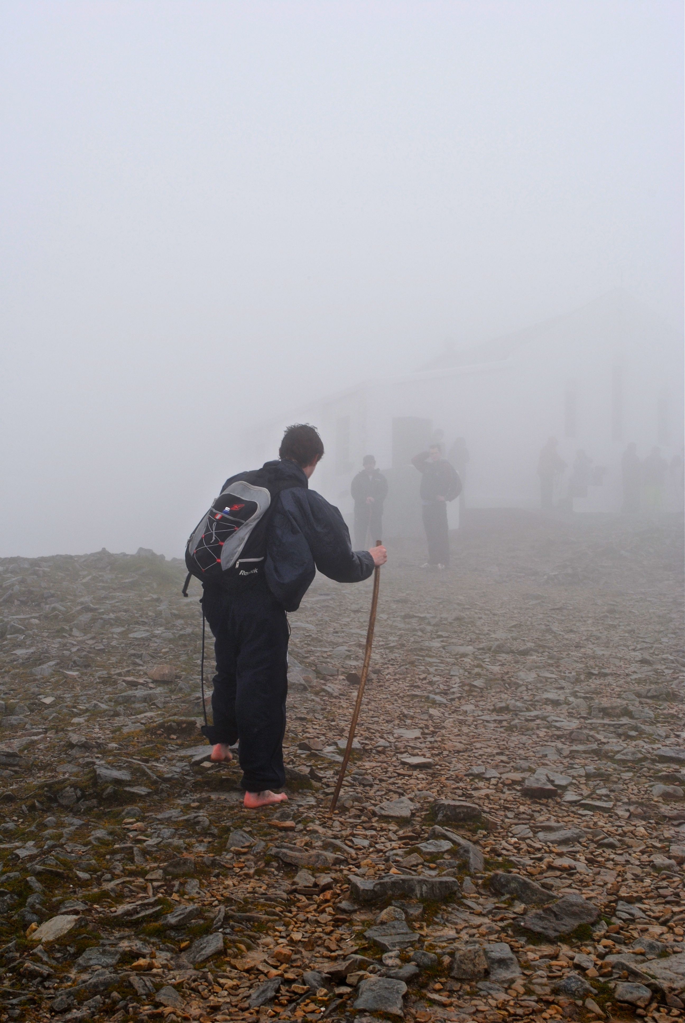
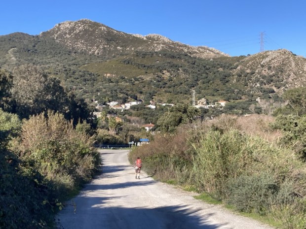
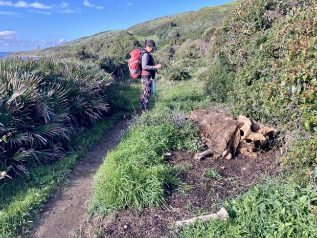
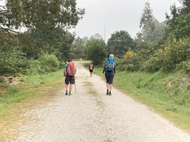
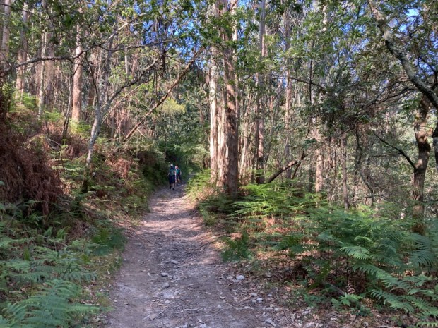
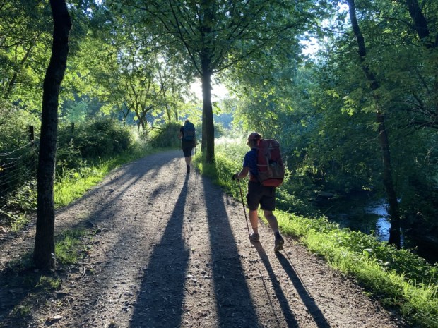
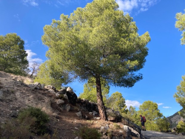
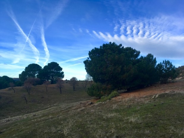
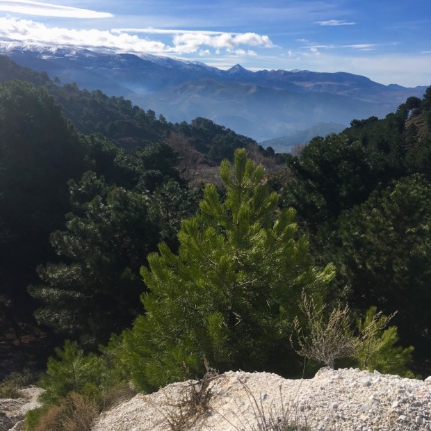
The first St Declan yellow arrow I had seen led me up on forest trails into the Knockmealdowns as the lights of the farmhouses in the rich vale below started to twinkle on. I was driven on from my first choice of encampment by clouds of midges, a problem of being tentless I hadn’t considered. Losing my way for awhile I blundered and backtracked through more and more unsuitable surroundings before finally, as the light faded, chasing some sheep from a trackside patch of grass and settling down for the night, weary after 8 hours hiking over 26km.

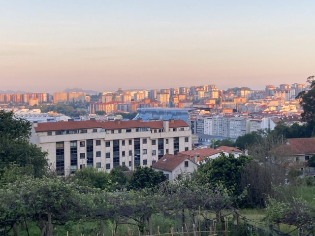
The morning sky was a similar canvas in reverse, the darker reds slowly dissolving into slighter hues of pink and blue.

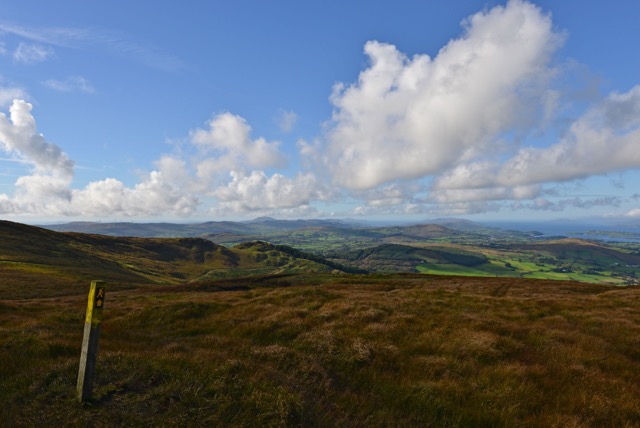
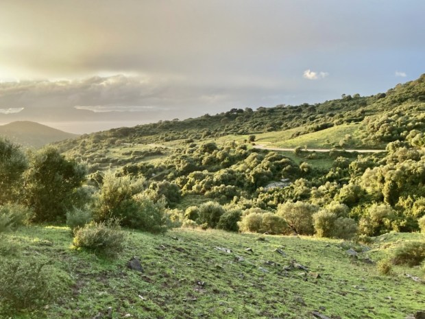
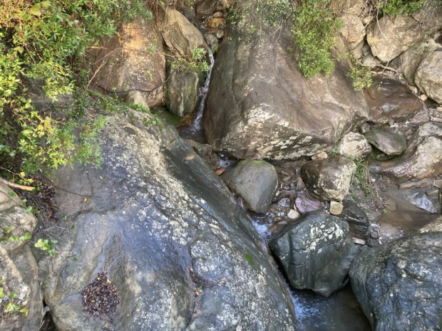
Another fine day promised in this summer of official Irish heatwave and drought. I retraced my steps aways, past the waterfall heard but not seen the night before, to find the route revealed by a tiny sign amidst the bracken, up through the trees to the open moorland above, a relief to be beyond the embrace of the dark green forest and out in a space with further horizons.


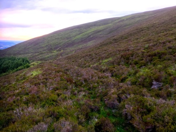
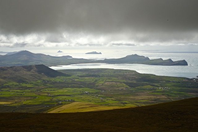
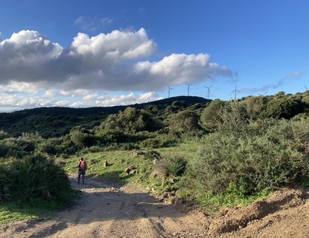
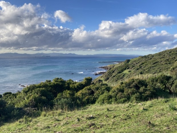
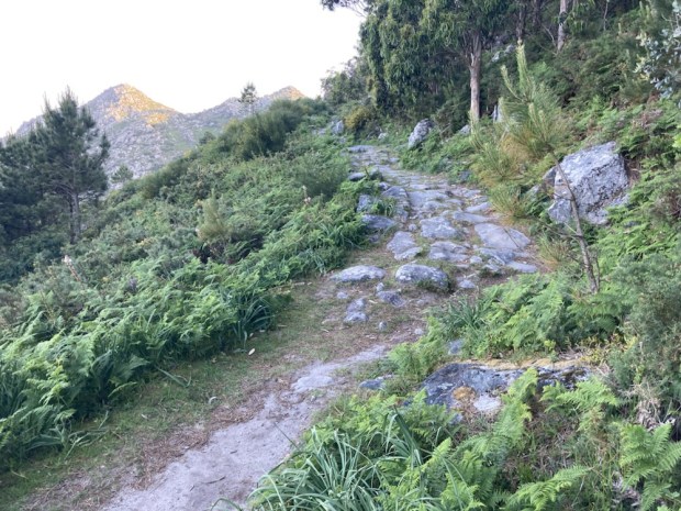
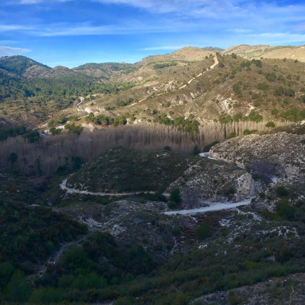
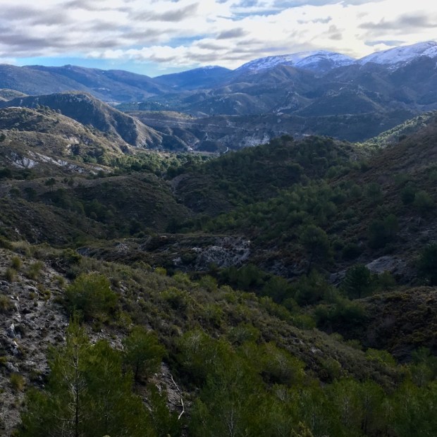
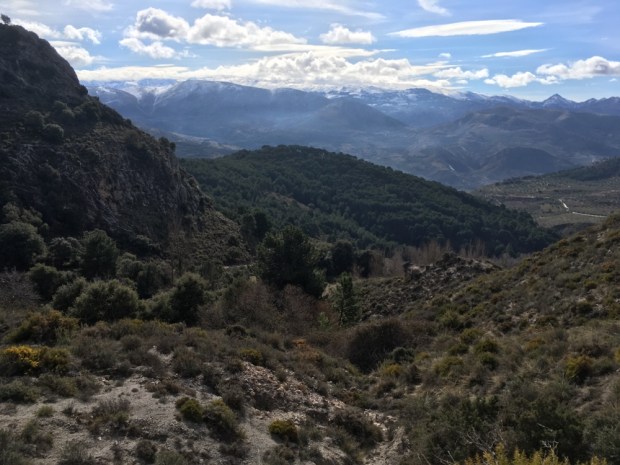
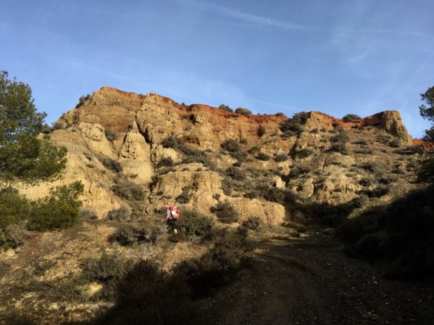
Clearly visible as I made my way up and over Bottleneck Pass at 537m were the deep trenches cut by the horns of the enraged cow belonging to St Patrick as she chased the robbers of her calf from Cashel to Lismore. Or so they say. An ancient path certainly did cut through the shallow turf southward towards the sea shining silver in the mornings light.

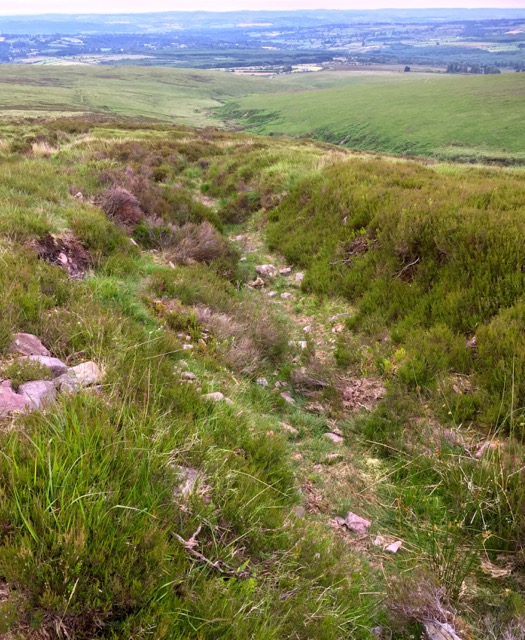
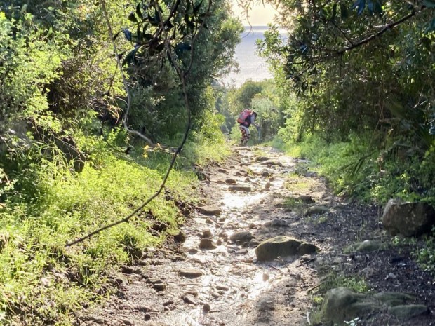
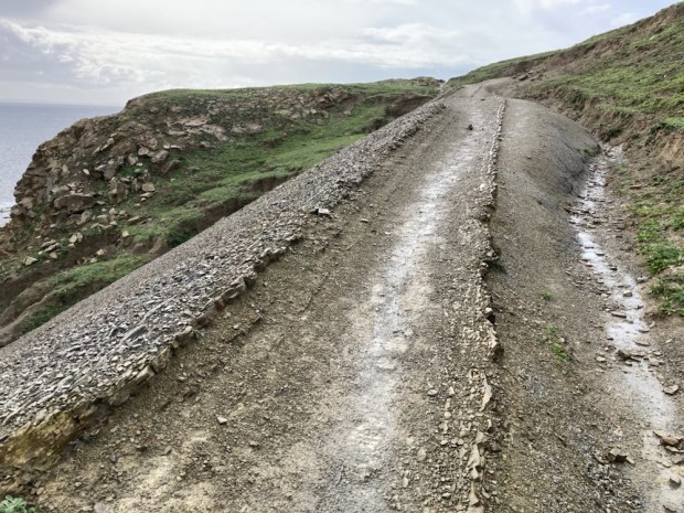
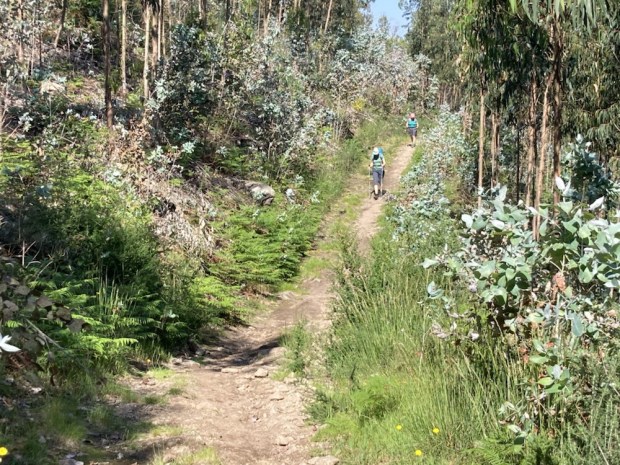
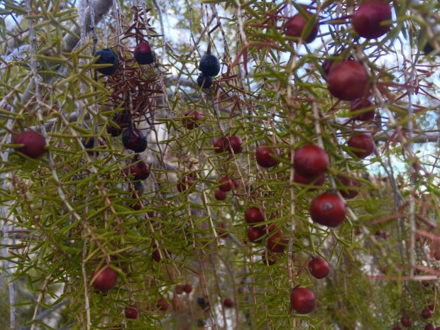
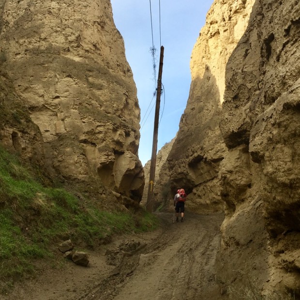
Crossing from Tipperary and into Waterford it was a fine hike down the Rian Bo Phadraig, the sunken, sometimes sodden, path through the heather and bilberries eventually merging, on more level ground, with stony tracks and finally tarmac roads.

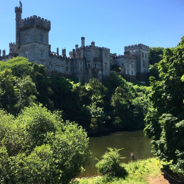
The Rian led me all the way to beyond Lismore when I turned onto the Bothar na Naomh (Path of the Saints). We have visited Lismore castle a few times in the past and the gardens are always a delight. After a cafe breakfast I embedded myself amongst the flowers, scrubs, trees and architecture for a restful few hours, reluctant to leave in the heat.
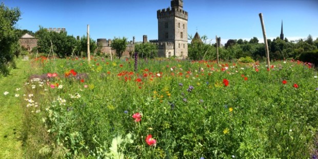
There were a lot of sculptures dotted around the grounds including ones by a couple of my personal favourite artists- David Nash and Antony Gormley- and the castle has its own contemporary gallery with a continuous showing of exhibitions.
Finally wrenching myself away I watched a fly fisherman below the castle and then followed the river Blackwater downstream through verdant growth on Lady Louisa’s Walk. Lady Louisa was the daughter of the 7th Duke of Devonshire, ancestor of the current owner the 12th Duke. It wasn’t long before the sweltering sun and the cool looking water conspired to slow my hike again by tempting me into a still pool at the edge of the fast flowing river.
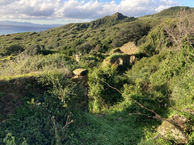
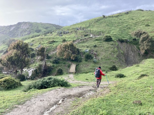
Much refreshed I continued cross country for awhile before joining a road to Cappoquin. From there I had many many kms of Tarmac road, passing some grand but neglected remnants of the colonial and protestant past. Affane Church of Ireland, nearly lost beneath a mass of Ash and ancient Yews, was surrounded by overgrown gravestones and mausolea with fine cut stone and handcrafted iron railings, attesting to the wealth of the inhabitants of this productive land. It was here that the route turned away from the Bothar and onto the Casan na Naomh (Path of the Saints), long buried under the hard footsore surface of bitumen.
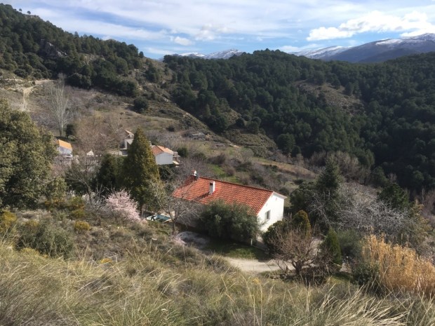
Eventually reaching Knocknaskagh I at last started down the charming ribbons of narrow boreens that marked my walk across Waterford and that proved to be the fond and abiding memory of the whole St Declan’s Way. In fact I was now, for the first time, on what is known as St Declans Road.
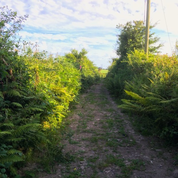
I was getting weary after travelling 30km that day and the slender tracks with high hedges either side didn’t make for great camping so I was optimistic when a chatty local recommended that I stop in at a “new age travellers” house a couple of km further along who would be sure to put me up.
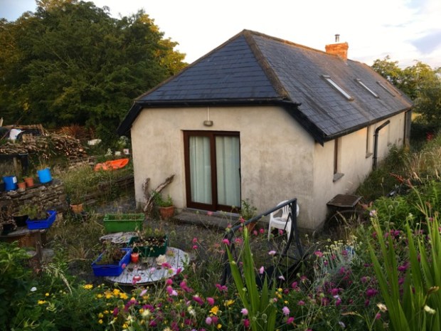
And so it was. I was welcomed into the restored cottage on a few acres of grazing by a lovely fella whose name my declining memory refuses to return to me. Although suffering from a debilitating disease he had, with the help you tend to get if you give, built up a homestead previously destined for the bulldozer, rescuing and raising horses and foals- and sheltering weary travellers. He offered me a variety of options and I chose a caravan, sleeping soundly after a couple of pints of homemade cider. Cheers.
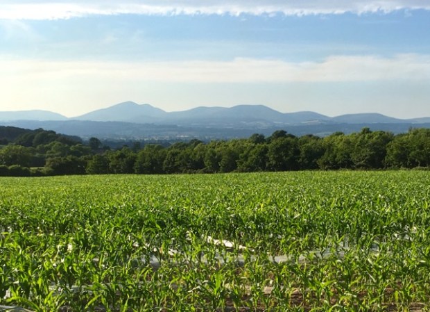
With the high ground of the Knockmealdowns and Bottleneck Pass sat on the horizon 30km and a days hike behind me I set off on my final leg to Ardmore down a sequence of peaceful and still boreens, some recently cleared of vegetation in what my host had said was preparation for the creation of publicised walking routes.
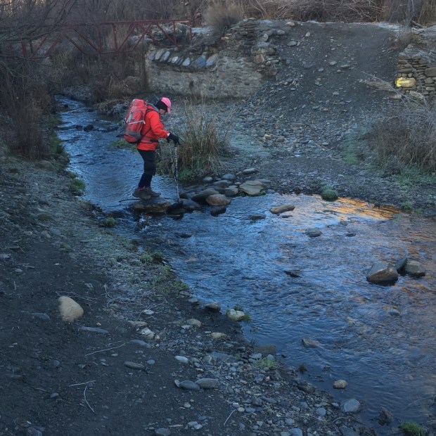
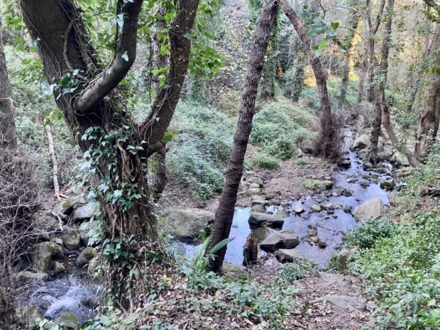
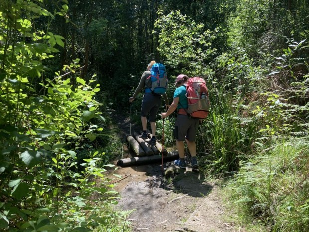
At the crossing of the River Lickey I somehow missed the path to the left and crossed over the stepping stones, the unusually dry summer and low water levels helping considerably. It was only after fighting my way through the undergrowth on the far bank and blundering into a pilgrim path waymarker that I discovered the handsome wooden footbridge.
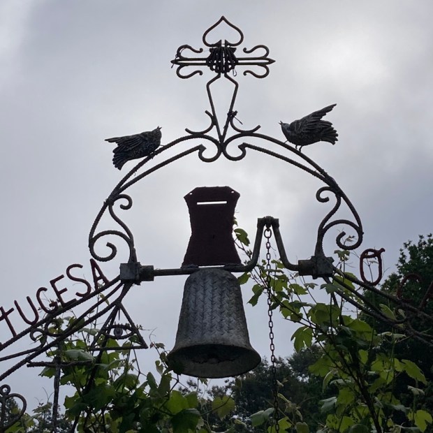
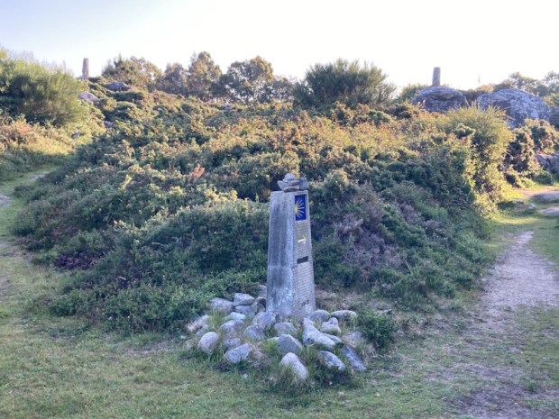
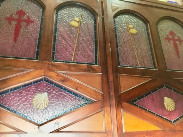
The Pilgrim Path post was the first i’d seen on this route. The design comes from a stone carving in Co Cork and depicts a medieval pilgrim complete with tonsure, or shaved head, hat, tunic and staff. Used when the Heritage Council first initiated the re-awakening of various pilgrimage routes in Ireland I had come across it in Mayo, Cork, Kerry, Wicklow and Offaly.
After leaving the dragonflies and darting fish behind in the babbling brook I climbed up onto another earthen trackway, once known as the Bothar na Riolog, and back into a sunny summers day with the temperature rising.

As the heat rose my desire to get to the sea climbed towards obsession. Passing a bicycle atop the hedge I stopped and internally debated the likelihood that it was abandoned and the morality of taking it on a final, speedy journey to the coast and the cool blue waters. A pilgrim couldn’t take a chance on bad moral judgement so I reluctantly turned away and plodded on what was now hot tarmac.

A short(ish) distance and a lot of sweat later I broke through the crowds of beachside holiday makers and followed the retreating tide to the relief. Dropping my pack and stripping off my clothes I ran into the shallows and, without a pause for the jellyfish, continued until submerged. Ahhh.

The hottest summer on record. The hottest day of 2018 would be the next day. And only a few months since Storm Emma, The Beast from the East, had dumped tonnes of snow on this area, filling the sunken roads to the top of the hedges and shutting the county down for days.
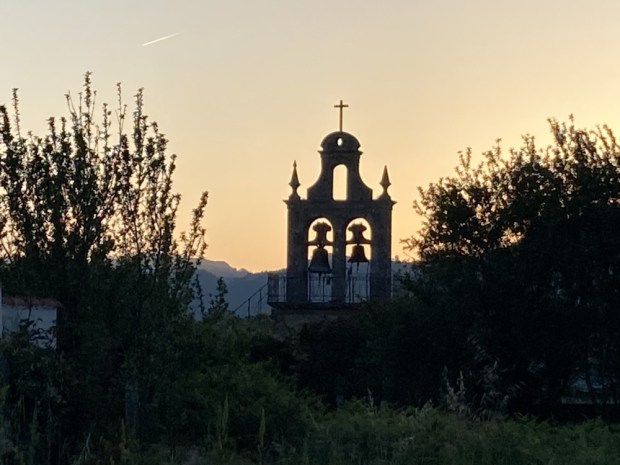
But my journey was not over yet. I had to complete the 5km Cliff Walk, taking me passed the 12th century round tower and cathedral. At 95ft high the tower is one of Ireland’s finest and very well preserved and next to it is St Declan’s oratory where once the saints body lay before the medieval enthusiasm for relic collecting saw him scattered.

A sandy path between potato fields drew me up to the cliffs edge with an invigorating Atlantic sea breeze whipping up the waves crashing on the rocks way below. In the distance stood the castle and coastguard station of 1867 now surrounded by a dancing mass of wild flowers and circled by raucous seabirds.
A concrete lookout post from WW2 seemed incongruous amidst such harmonious beauty and was certainly of no use in 1987 when the Samson, a crane barge, went onto the rocks. The rope that attached it to a tug had broken in gale force conditions off the Welsh coast and a day later it washed up on Rams Head. It now slowly rusts away and a couple of years ago the entire jib collapsed into the sea, depriving countless seabirds their roosting spot.


Walking back in time from 20th to 4th century ruins I rounded Ardmore Head and west along the cliff path overlooking Ardmore Bay to arrive at the origins of Christianity in Ireland. St Declan’s Well served as his Baptistery from 416AD, a good few years before St Patrick was to appear on the scene, when he founded the first monastery over by the round tower a little distance inland. In later life, tiring of the hordes of pilgrims he built himself a little cell near the well and retired to a life of quiet contemplation. He died there and a church was erected that to this day is the site of pattern rituals on the saints day, July 24th, and often a midnight mass the night before.


There was one more sacred relic to witness before I finished with St Declan’s Way. Before leaving Wales for Ireland Declan received a golden bell from heaven after giving mass. Now this bell was obviously very precious to him and he wanted to bring it with him to Ireland. Unfortunately it was forgotten when they set off leaving Declan to pray hard for its safety and low and behold his prayers were answered and the bell appeared, borne atop a rock floating on the waves ahead and leading the way to the Irish coast. Declan promised to build a monastery wherever the rock, and the bell, came ashore. And so it was.

I don’t know if the tradition continues but it used to be that on 24th July people would crawl under the stone to receive spiritual benefits (and cure arthritis – although it’s hard to imagine a sufferer of that being able to manage ). It’s also said that the stone should not be approached by the “unworthy” so I kept my distance.
And so this pilgrimage was complete. I don’t have a “passport”, and will receive no certificate or “compostela”, but I carry with me abiding memories of walking beside the Suir and the Blackwater, climbing over the Knockmealdowns on an ancient trail, strolling the sunken sandy boreens of Waterford, from the seat of the high kings in Cashel to the origins of Celtic Christianity at Ardmore. I think I would have been OK with the rock on the beach.


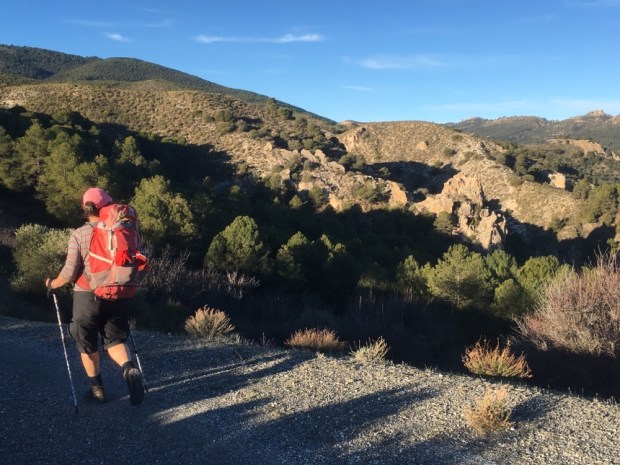
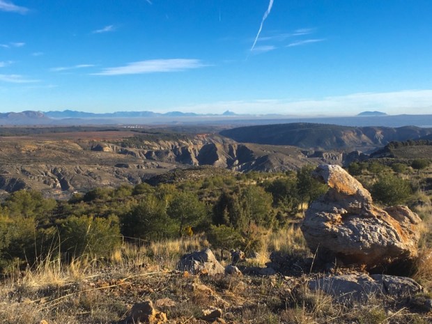
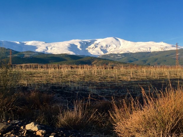
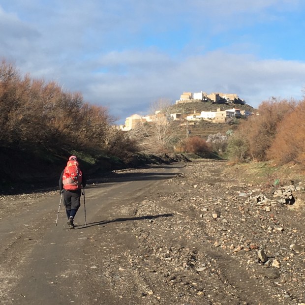
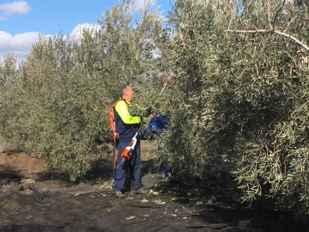
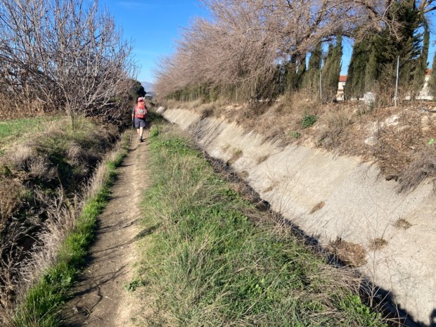
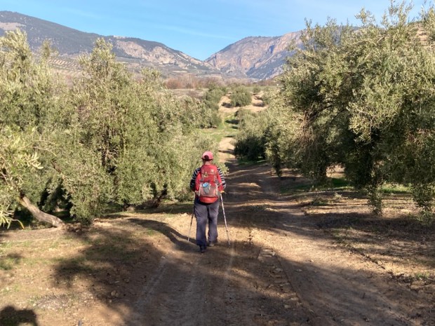
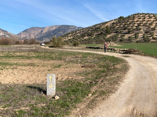
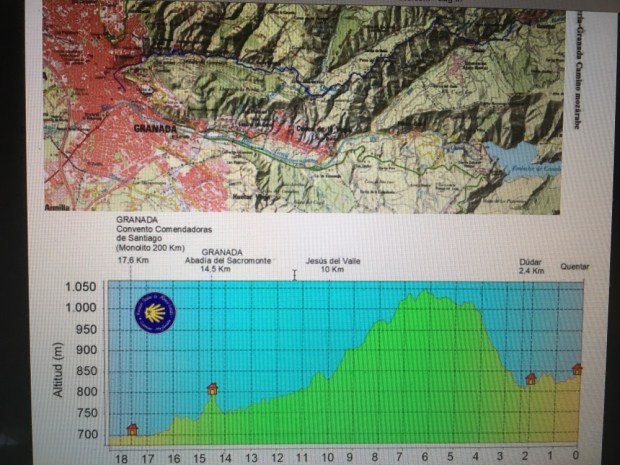
 We parked up there overlooking a massive 24/7 olive processing plant, and in the morning left the camper and took the bus back to Granada, found our first arrow, and set off through the suburbs and industrial estates and out onto the industrial farmland beyond.


 The middle floor was laid out as a home of maybe 50 years ago and the final, upper floor was stuffed full of ethnological artifacts.