Walking in Spain

BADLANDS 3: The Granada Geopark

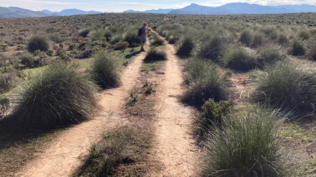
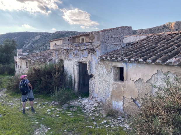
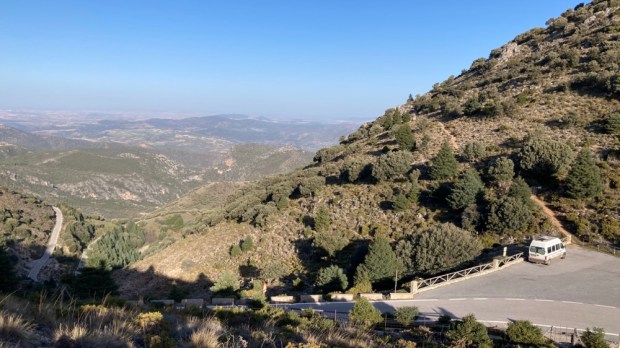
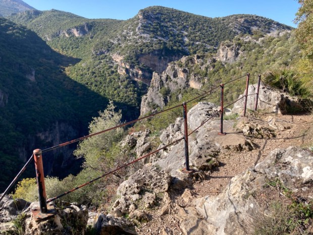
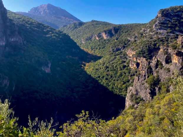
About an hour drive or 100 km north west of Tabernas in southern Spain, the last Badlands we explored, lies another extraordinary landscape.

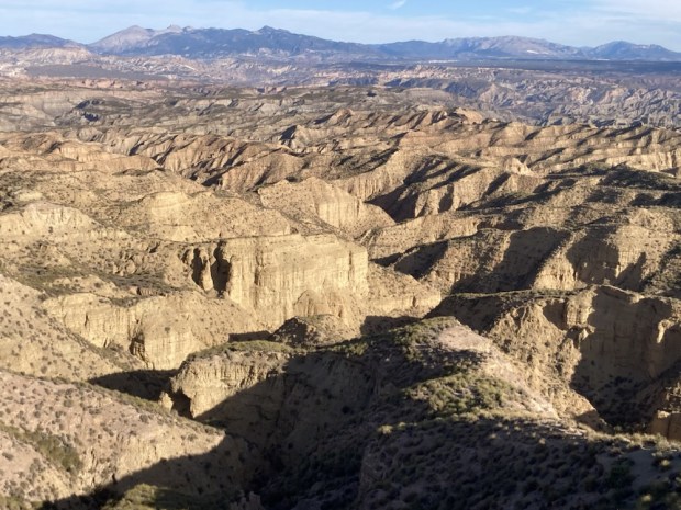
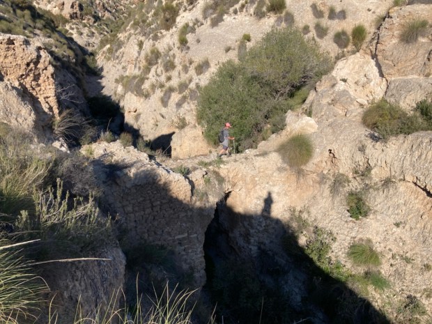
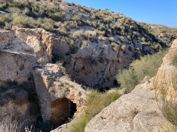
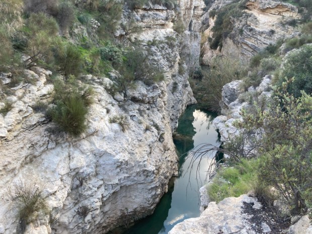
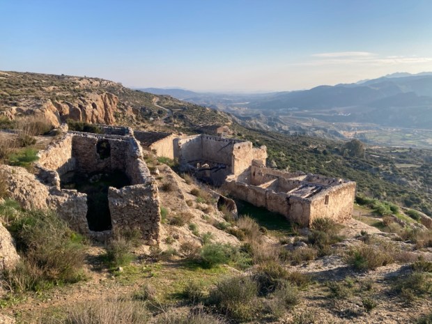
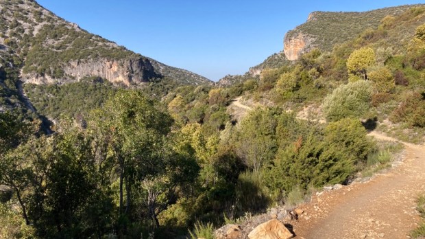
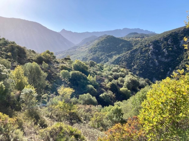
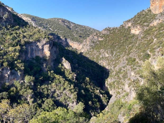
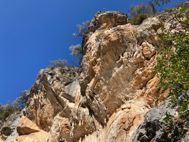
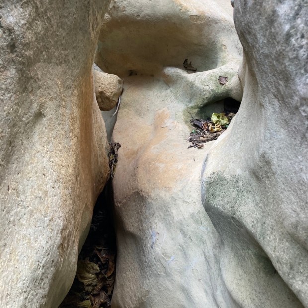
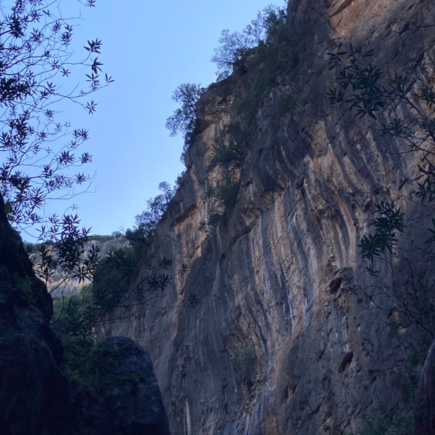
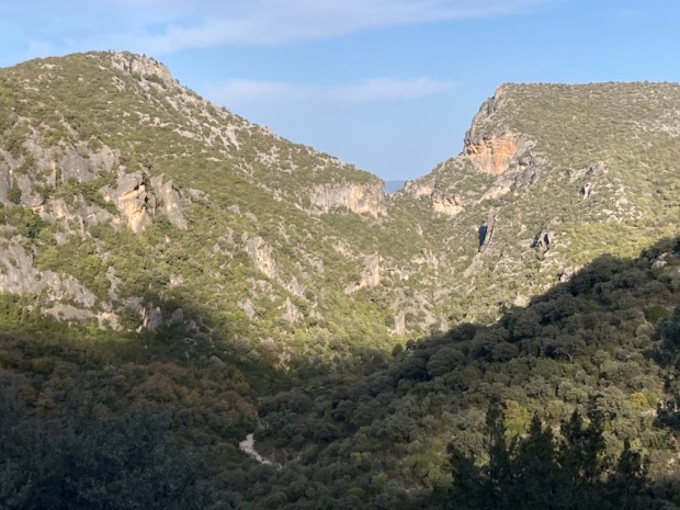
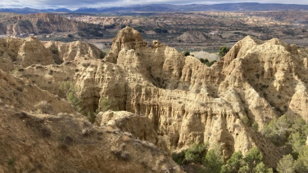
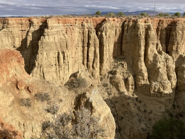
Designated an UNESCO Global Geopark in 2020 the 4,722 sq km park is a harsh semi desert of deep broad depressions, gorges, canyons, gullies and ridges with rocky outcrops and cliffs. For millions of years a vast inland lake was formed by rivers with no exit to the sea, hemmed in by a ring of mountains. Layers of sediment built up which have been exposed over the last 500,000 years as the rivers forced a way to the sea and began the erosion process that has created this surreal environment.
We had heard from friends that the area was rich in hot springs and that there was a mass of Neolithic dolmans left by the first hominids to reach Europe and had wanted to visit this relatively unvisited and unpopulated place for awhile, and Sally’s birthday was a good excuse to plan a trip.
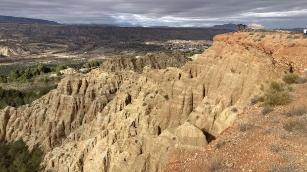
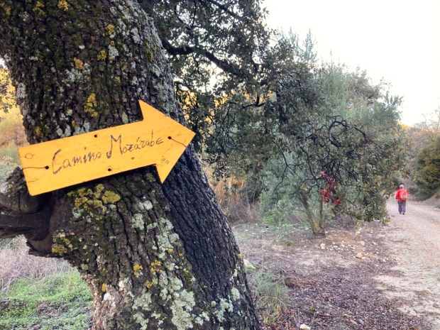
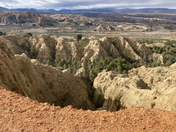
On the Camino Mozarabe from Almeria to Granada a few years ago we had walked through the southern edge of the park and had loved the area around Guadix and Purullena with all the cave houses and weirdly eroded hills. I remembered we passed a hotel that boasted a hot spring medicinal spa and were very envious of its clientele. I found it online, and booked a room for the birthday. Memories of our hike there seeped into our consciousness as we drove through a sandy wooded area on a track marked with the yellow arrows of the Camino and up to the Carcavas de Marchal, a viewpoint looking out over the Purullena badlands.
After a deep cleansing and healing in the hot mineral waters of the spa and a restful night we headed north to explore the phenomenon of the Travertinos de Los Banos de Alicun, another thermal spring.

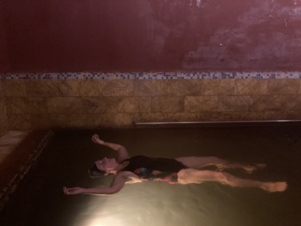
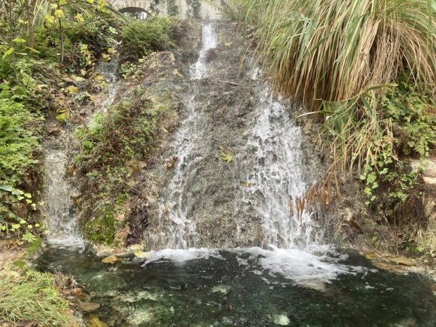
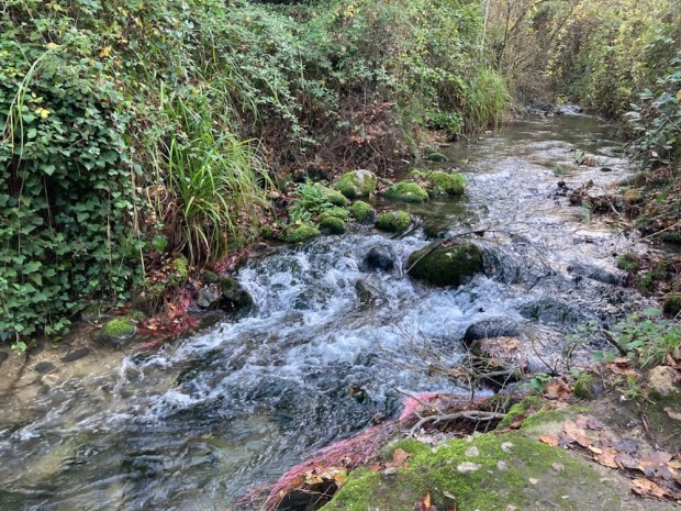
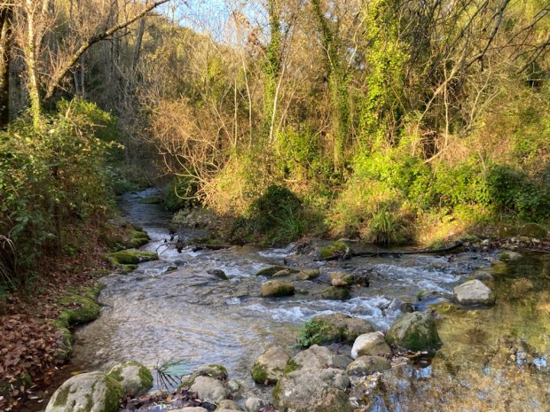
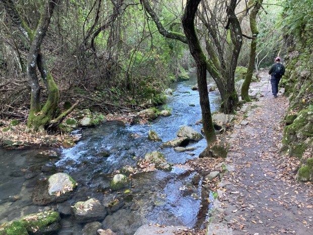
The thermal spring here, rich in calcium carbonate, emerges from deep underground, travelling up through a fault line to reach the surface at 35*C. For the last 200,000 years the strongly mineralised waters have been flowing downhill, creating a channel of travertine as they go.

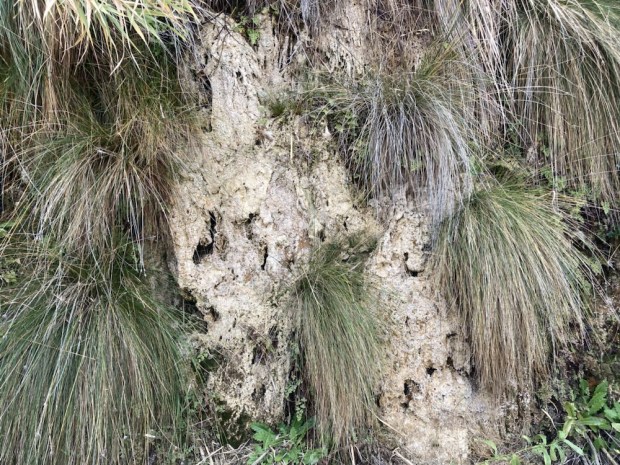
The channel of calcium carbonate rich waters precipitate, slowly building up and covering the plants and grasses that thrive there, fossilising them.
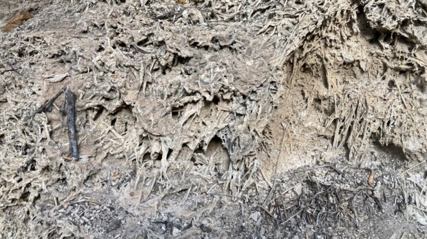
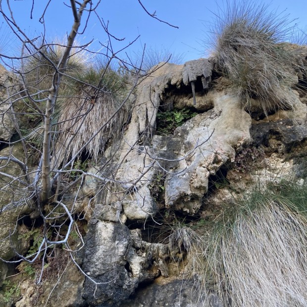
The waters were useful to Neolithic people living there who encouraged the flow towards their camping places and when the channel got too shallow it was dug out to deepen it.
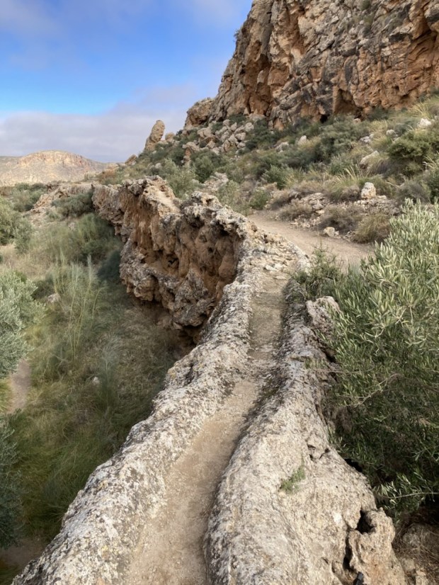
Over the millennia the walls of the acequia have grown into a towering bank 15m high and 4m wide at the base. It snakes through a fascinating area of rich vegetation and dripping water next to parched eroded desert.

We followed the channel for over a km before arriving at a spot where the walls had been breached, the water running out to form a warm waterfall.

Returning to the source of the stream at the spa hotel closed for the winter we picnicked before driving on to Gorafe and up to the high plateau above the Gor river valley. This was one of the areas with the heaviest concentration of dolmens in Europe.

At a height of 900m above sea level, overlooking the arid Badlands, it is hard to know why the early settlers chose this place to build over 240 megalithic burial chambers, passage graves and corridor tombs. The dolmens were built over a period of about 1500yrs from 3000 BC when the conditions were good for the Neolithic families to establish the many settlements in the Gor river valley. The climate was wetter and cooler than today and the valley soils were fertile.
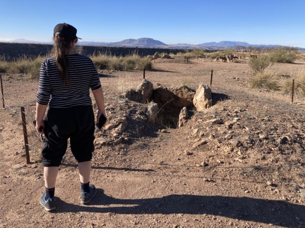
We drove on along the plateaux on a rough track admiring the deep gullies with arid sandstone buttes between us and the high plateaux on the other side of the valley. The rock is horizontally banded with red, yellow , grey and white strata. A stunning, beautiful and cruel landscape.

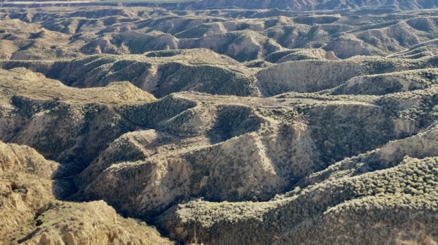
Our accommodation for the night was perched at the edge of the plateaux at the end of the track. Remote in the extreme, a self contained, off grid, designer converted shipping container, run on solar panels with all its functions controlled by an app on my smartphone.
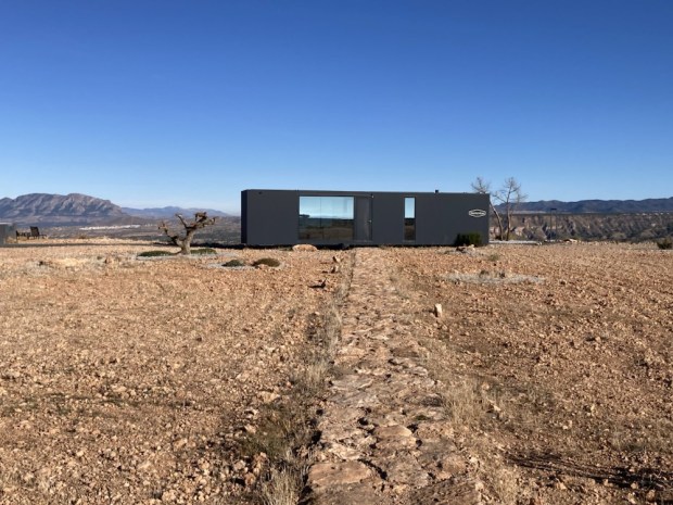
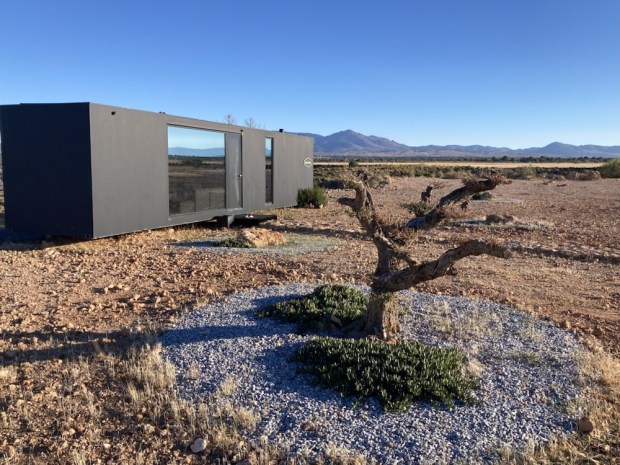
With an electric toilet that incinerated the waste, a water recovery system that could extract 250l of water a day from the air and a bank of lithium batteries for storing the power from the solar panels this was the first of what they hope will be a collection of pods dropped into stunning locations. Fully autonomous and transportable the eco- hotel has no foundation, uses no local resources and aims to have no environmental impact.

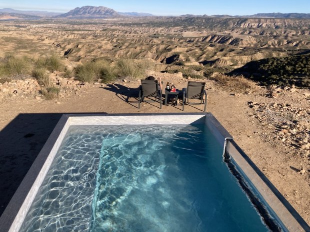
It was a spectacular place to stay, very cleverly designed to use all of its 35sq m space well. The glass wall of the bedroom afforded a stunning view of the star studded night sky and in the morning the valley below was shrouded in low cloud.

It was hard to leave but we had more to look forward to on the top of the plateau opposite and after check out we explored some of the area, crossing the stony almond fields and discovering some old shepherds cave houses and animal pens dug out of the sandstone butte.
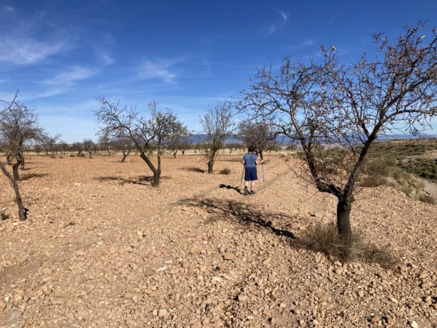
They were a little rougher than the caves developed for tourist accommodation we came across further on , situated high above Gorafe town.

The next development we discovered way out in the middle of nowhere was an observatory. A new educational and Astro tourism centre taking advantage of the near zero light pollution. This has been designated a ” dark sky zone” and is the perfect spot for star gazing as we had discovered in the podtel. As it happened there was an all night programme of events to be held there that night but as you had to book in advance, pay €30 each, and stay up all night to listen to Spanish we didn’t understand we decided- not for us.

( Not my photo)

Besides we didn’t want to abandon our futuristic home for the night, which we had spotted on the horizon. La Casa Del Desierto.

Another off grid, autonomous space raised up on a mound containing services, this one also afforded awesome views out over the corrugated hills and folded landscape below the plateau’s rim. The three sided totally glass clad structure gave no privacy and had been fenced off from the curious eyes that had bothered some of the earlier guests.

An extraordinary space in an extraordinary place- the three small interior spaces of bedroom, bathroom and kitchenette were surrounded by a verandah under an overhanging roof, giving all day shade. But with no cooking facilities it was not a place to stay for long and so our one night was enough.

Before dark we hiked over to another look out spot at the end of a narrow path to the point of the bluff, passing some serious campers ready for this environment.

We made it back before the sun disappeared in a glorious palette of colour and the stars came out.

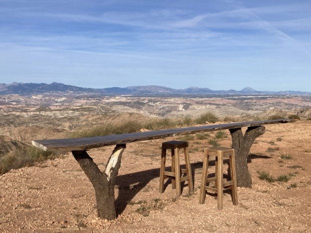
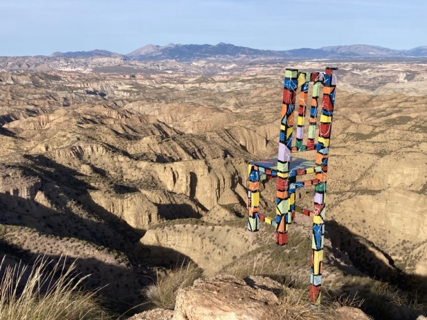
In the (25*c mid December) morning we sat at the table but not on the one legged high chair gazing out at the bizarre surroundings- soaking in the dry, the heat, the emptiness and the silence- before reluctantly getting into the car and turning for the west. Towards Ireland and home.
LAST LEGS: Sierra de Gredos

The Sierra de Gredos mountain range and Regional Park, about 150km west of Madrid, is a beautiful area of towering peaks, glacial lakes, oak woods and river valleys that we had explored once before- in the snow- and had always wanted to return to. So when Jill, Sally’s sister, asked for a suggestion for a walking holiday destination in the region of Madrid and Salamanca it was an obvious choice, especially as we were invited to join them.

Problem was an ever increasing series of tests, scans and consultations had resulted in an ever decreasing picture of good health and the closing of windows of opportunity. We managed to get there though, about a month ago, unsure of my hiking ability but sure of the restorative power of being out there in the wilds.

We stayed in an eco airbnb in the little hamlet of Navacepeda de Tormes on the northern side of the range where I thought the trails alongside the clear rushing waters of the Tormes river would make for leisurely strolling. The ancient buildings in the village of 160 inhabitants were sadly in decline as depopulation continued although the area is popular for summer holidays with Madrilenos seeking cool mountain air.

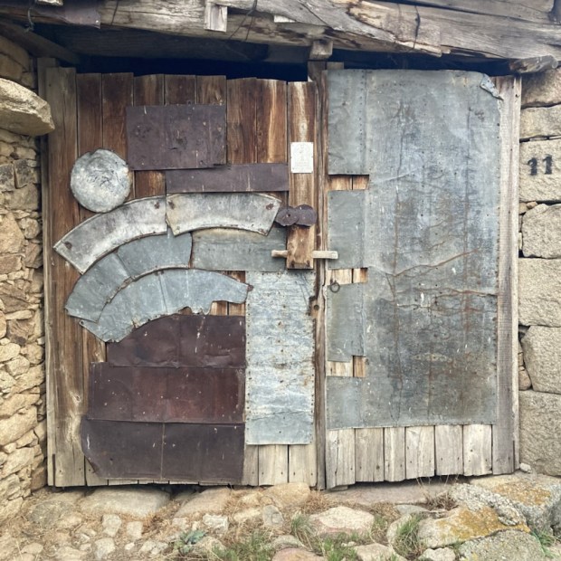
We discovered the bear paw nailed to the church door- carbon dated at 400 yr old, making it possibly the last bear in the Gredos. Hemingway, who came to the area, had written of it and a street in the village is named after him.

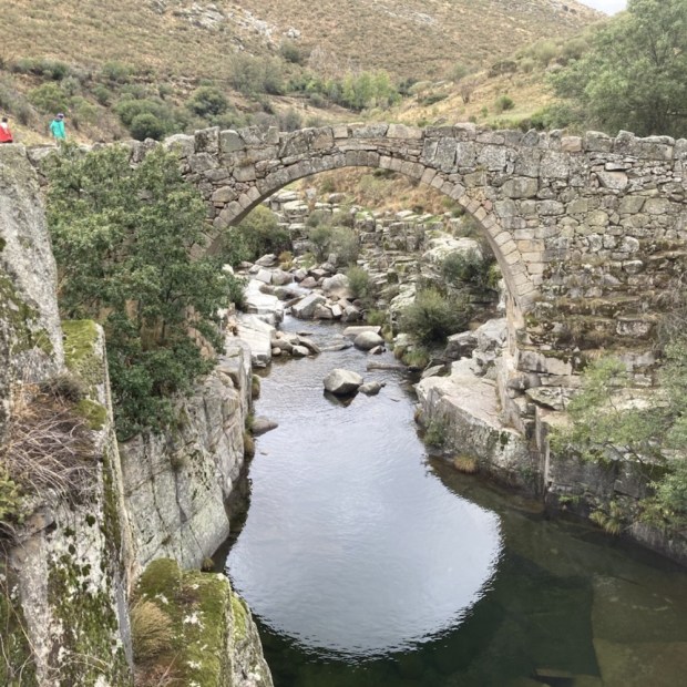
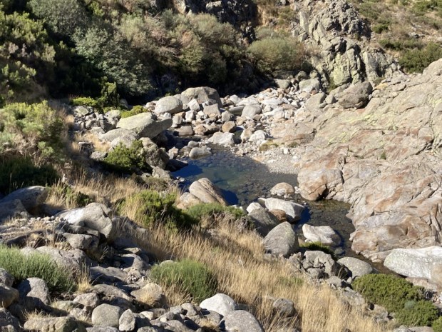
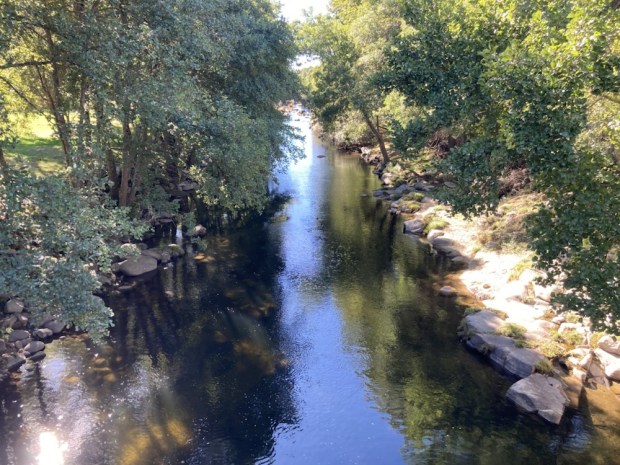
On our first evening we walked down to the river and up the Garganta del Barbellido to a lovely natural swimming pool overlooked by a picture perfect medieval bridge. Although the water looked and was very cold I couldn’t resist immersion into the picture myself

I knew from our last visit that there was a road that reached way up towards the peaks on this northern side – to a car park “La Plataforma” which saved 11 km and 500 m of ascent- to gain access to the high altitude trails. I was happy to hear that Jill and Ralph were keen to take the hire car up there in the morning from where we would attempt the well worn route up to the Laguna Grande.

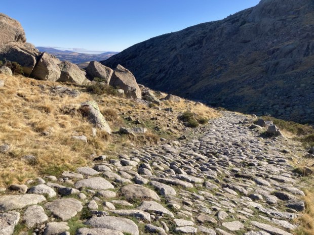
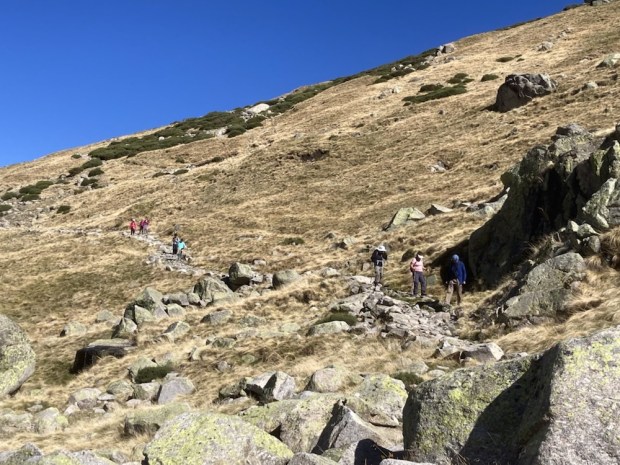
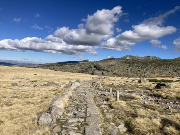
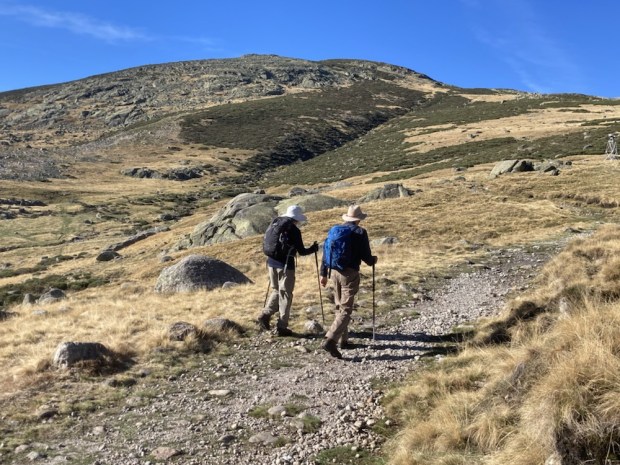
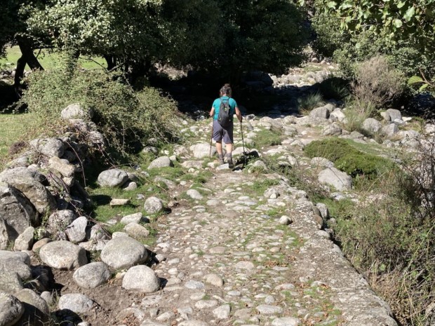
So, starting out from 1750m in the crisp mountain air, still in the shadows of the surrounding ridges but under an immaculate blue sky, we joined the stone laid path and started our ascent into the sunshine – slowly but surely.

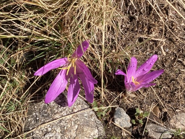
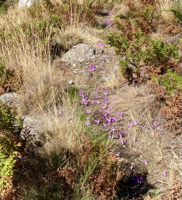
The autumnal browns and greys of the grasses and rocks were dotted with the shocking crimson pink and purple flowers of crocus which surprisingly seemed to fair best on the well trodden path.

We were on one of the traditional paths that cross the mountain range used for many centuries. There is a long history of transhumance here, the seasonal moving of cattle to and from the high pastures, and availing of the climatic differences of the north and south facing sides of the range. These old paths were also used to exchange goods, as the economies of the different sides were based on different products, and reached their peak in the 15th and 16 th century. I wonder how our current road systems will be used 600 years from now. We crossed paths with a man with pack horses coming back from supplying the Refuge high above us, continuing the centuries old ways.

We came upon a large group, herd, cluster,??, of male Ibex. A semi-protected species they seemed to be doing well, with an estimated 5000-8000 in these mountains. The Gredos are one of 4 species of Iberian Ibex , 2 of which, the Portuguese and Pyreanean are now extinct. Along with the other surviver, the Southeastern, their greatest threat now apart from loss of habitat and illegal hunting is sarcoptic mange, a deadly disease.

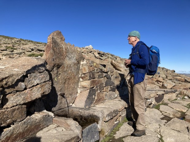
After an hour or so of gradual climbing we stopped at Los Cavadores spring for a drink and snack break before continuing a little further to the high point ridge at 2200m.

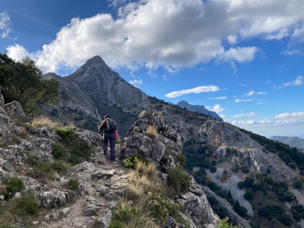
Crossing the broad flattish area of Los Barrerones we started to descend and the awesome views of the Circo de Gredos made the effort of the climb a very reasonable price to pay.
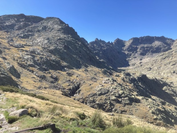
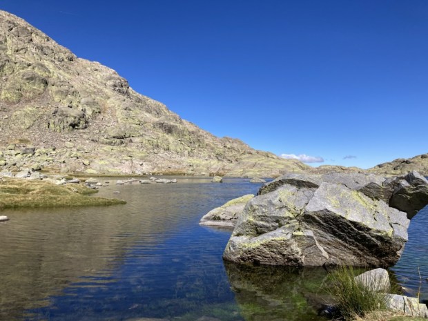
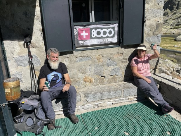
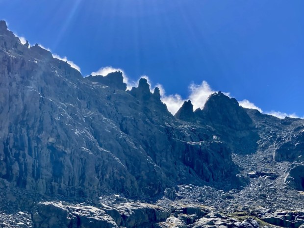
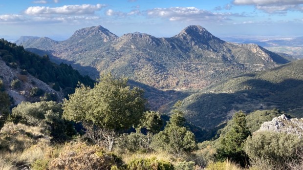
From here we could see the highest peaks of the range, La Galana and Almanzor, at nearly 2600m. We could also see, in the distance beneath the peaks, the Laguna and the refuge beside it, a truly spectacular setting in which to stay. Making our way down the rocky path others joined us- it was obviously a popular destination, with beds for 65 and meals and drinks available.

Hard though it was to tear ourselves away from the hospitality and the view of the cirque towering above we had to make the return trip, with a slower, more gentle, ascent this time. We passed a lot more hikers heading for the Elola refuge for the weekend and the pack horses returning again with more supplies for them. When we stopped at a fuente we were surrounded by ibex, this time females and juveniles, seemingly well used to people on their patch and unperturbed.

Back at La Plataforma, and pleased with our efforts, we decided to return the following day- Jill and Ralph to ascend to El Morezon and us to descend via the Garganta de las Pozas and Garganta de Gredos to the river Tormes.

It looked like it was going to be a busy weekend at the Refuge when we arrived at a nearly full car park in the morning and a stream of fit looking folk snaked their way up the rocky road before us. They included a team helping to transport a young fella in an off road wheelchair contraption – determined and vocally animated they left us in their wake as they forged ahead on route to some peak. Fair play.
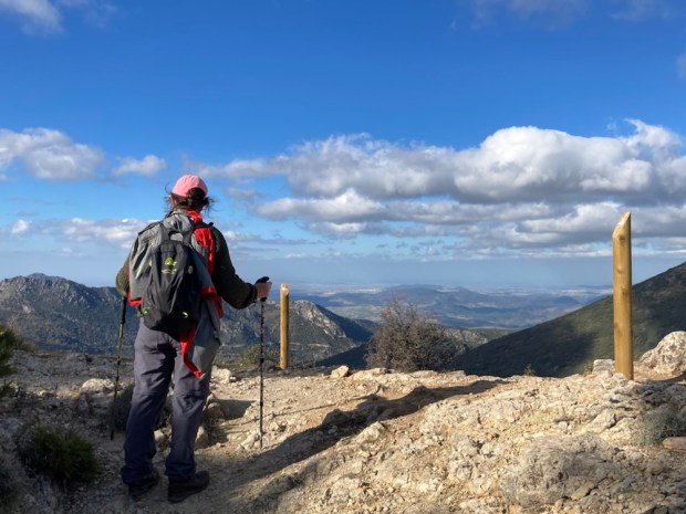
At the top of the rise above the car park Jill and Ralph set off south on an old path that led to a pass at Puerto de Candeleda while we turned north across the grazing area of Prado de las Pozas to find the river we were to follow down stream for 15 km.

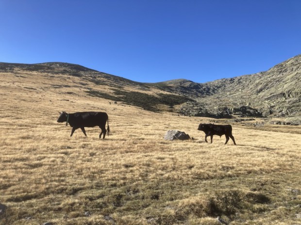
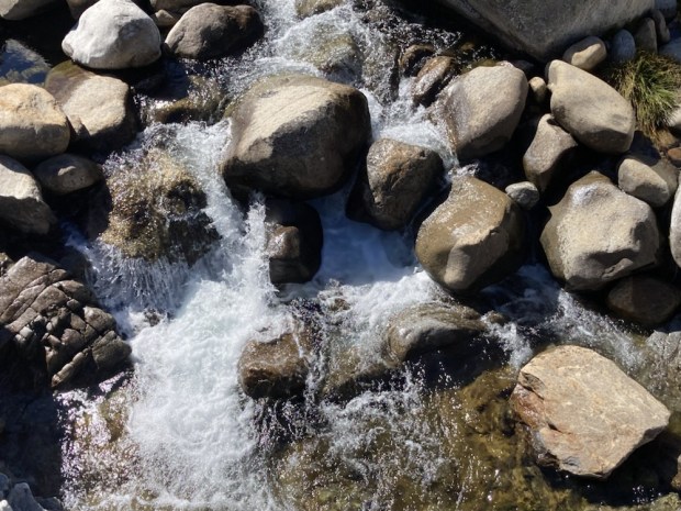
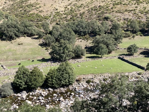
Another glorious day of sunshine and blue skies was now enhanced by the sounds of gurgling and gushing as the crystal waters gravitated down through the glacial moraine, accompanied by the occasional clank and clonk of cow bells.

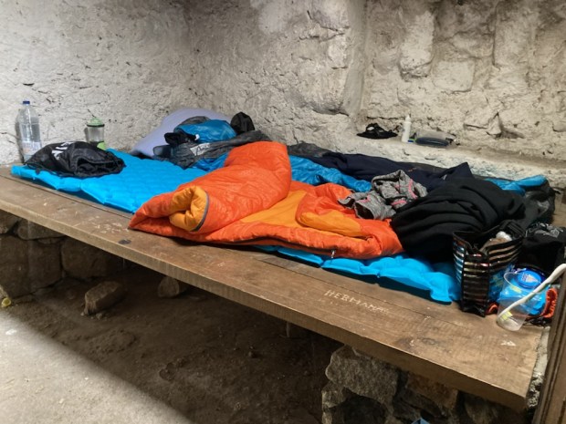
When we stopped for a pool side break I couldn’t resist stripping off and becoming one with the mountain stream- but not for long. Bracing could describe it. We crossed over to the eastern bank and carried on down through concentrations of crocus, passed an old farmhouse turned refuge, to merge with the Garganta de Gredos and its rushing waters coming down from the Laguna Grande.

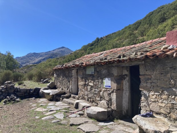
After a restful lunch on the Puente de Roncesvalles we rambled on, stopping for a peek into another farmhouse Refugio where a family had taken up residence for the weekend. We were now below the 1500m tree line and oak woodland lined the valley walls.

The well made stone path took us down into lush farmland of grazing cows and pine plantations before merging with another river and PR walking trail to the Cirque. Now back in ” civilisation”, a road of giant stones led us to the best of it – a friendly bar beside the river Tormes.

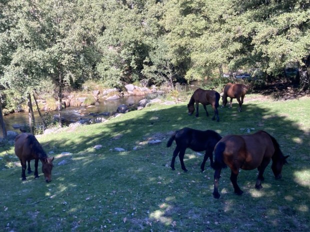
As a herd of free range horses joined us on the river bank we luxuriated in the lushness of it all, accompanied by flowing water all day, at the end of summer, so different to the parched south of Spain with its dry rivers and empty reservoirs.

It had been wonderful to be out in the wilds of Spain again. So many trails- so many beautiful spaces. It would certainly take more than a lifetime to know but a fraction. But I would urge anyone to explore, experience and ramble as many as time allows. Not just Spain of course but anywhere in as natural a world as you can reach.

Contact with and connection to nature can create the love, respect and empathy needed to restore our dangerously unbalanced relationship with the rest of the threatened co-habitants and eco systems of our abused world. It can heal ourselves and our surroundings.

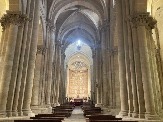
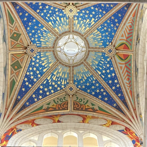
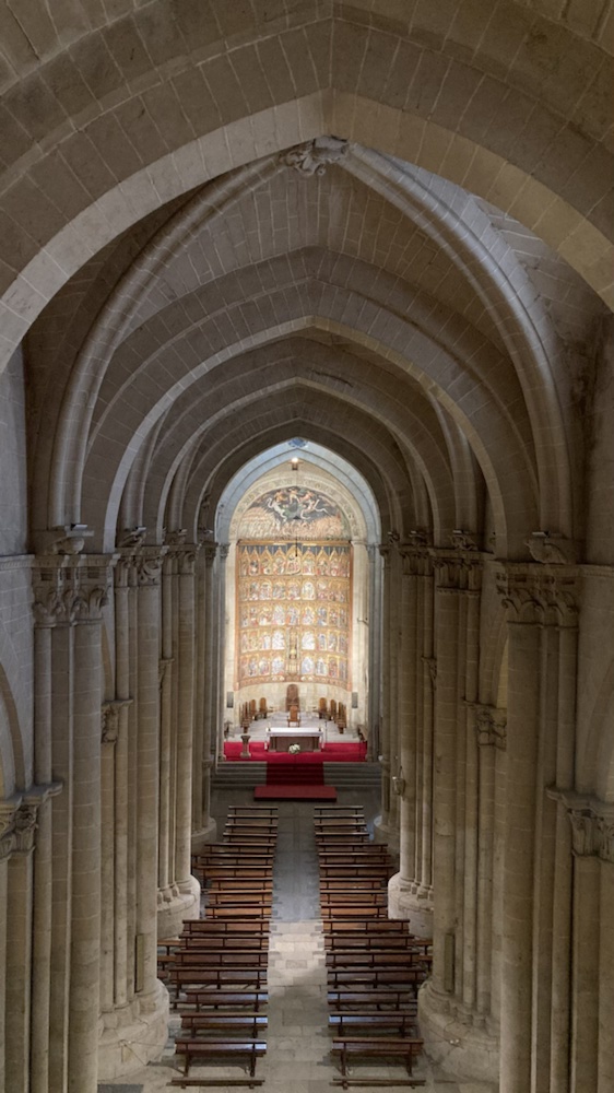
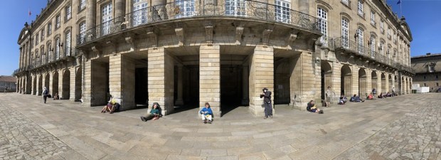
Last Legs? Hopefully not quite yet but time is obviously running out. Enjoy it and protect it while you can. I’ll leave you with some images of Salamanca and Madrid. From the man made sacred spaces that were built to inspire the same sense of Awe that nature had supplied for millennia.

Sacred nature.

CAMINO PORTUGUESE: Coastal and Spiritual Routes: Part 5

O Arial to Santiago de Compostela: 1 day : 16.5 km

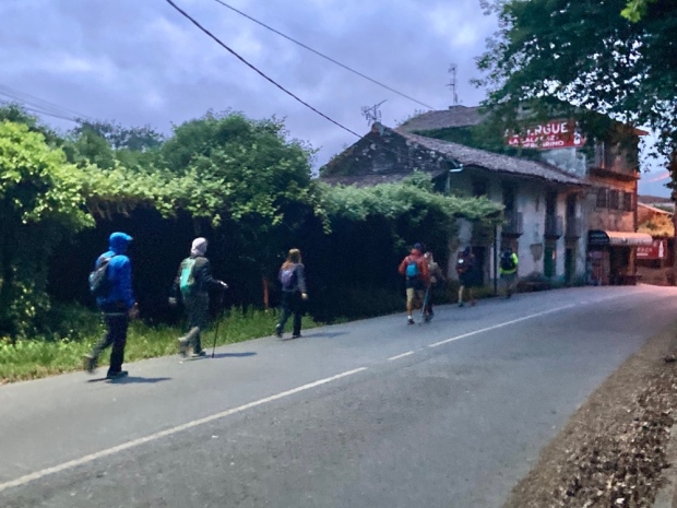
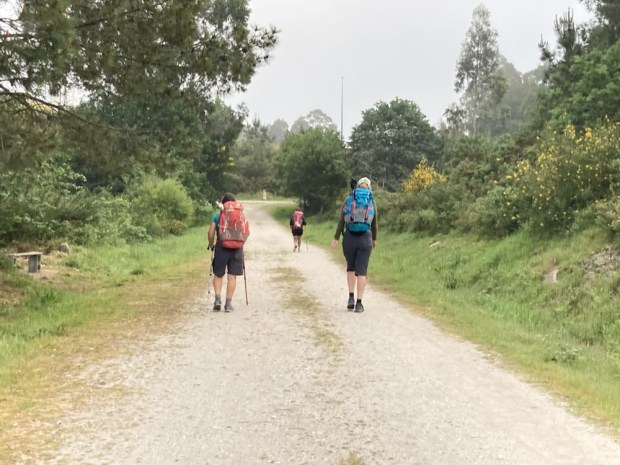
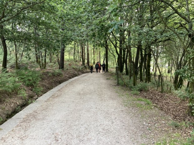
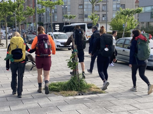
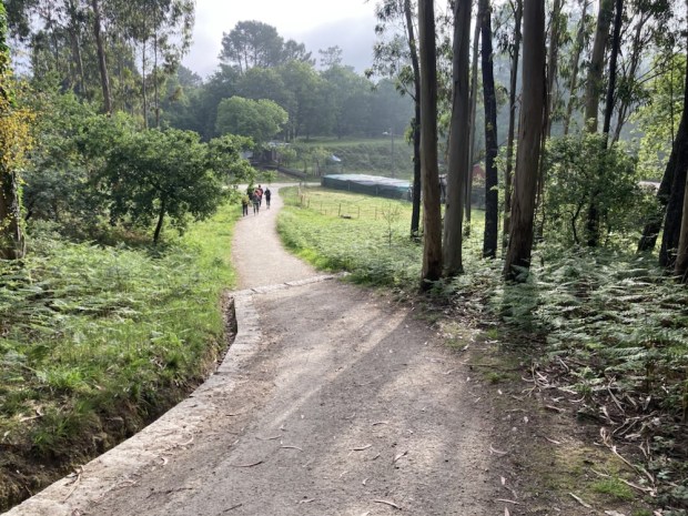
Our last day on the Way started, as usual, in the dark. We only had 16.5 km to do but wanted to get to the Cathedral square with Isobel and Catarina and I was going to go full monty and go to the 12 o clock mass with them. We returned to the main road where we had eaten the day before with Tomas O Maítín from Connemara, an interesting multi Caminoist (17!) who claimed to be a descendant of Ricard Martin AKA Humanity Dick, who had basically owed Connemara. We were initially shocked by the number of pilgrims on the move, but turning off onto the tracks we all spread out and peace returned.

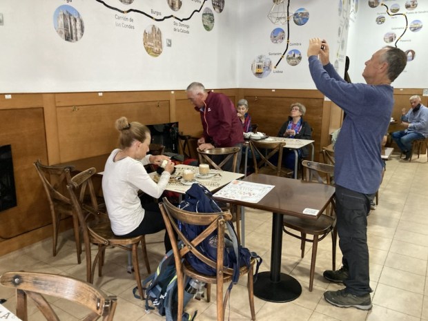
We had breakfast halfway after a couple of hours in a cafe that called itself ” The last Stop” and met up with Rami and his wife who later strode past us at high speed never to be seen again.

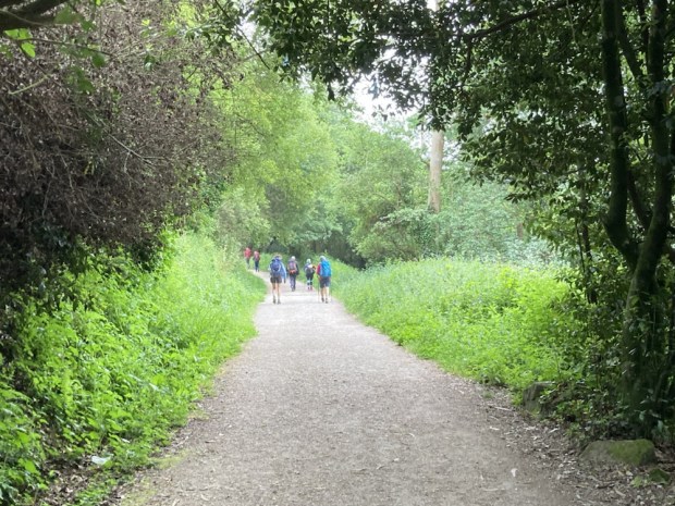
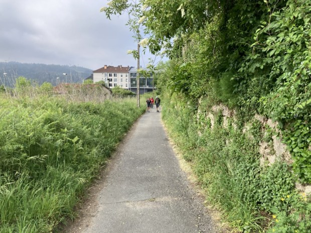
Alternating between urban and rural as we moved ever closer to the end the anticipation in the groups, couples and singles with packs on their backs was almost palpable.

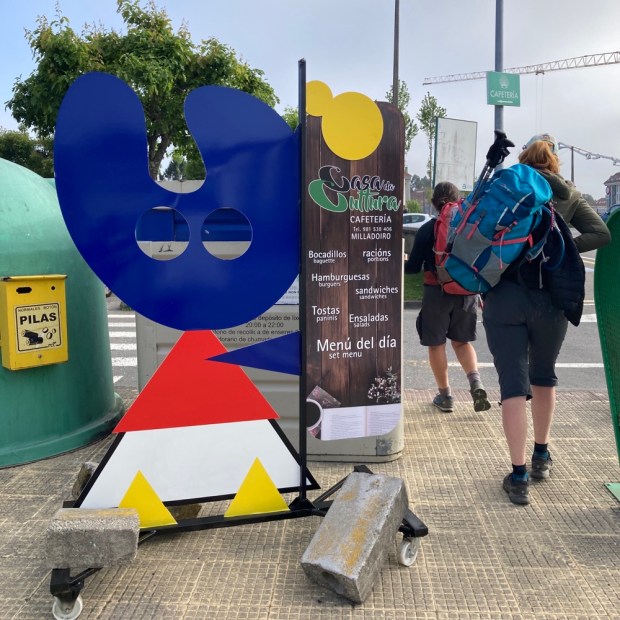
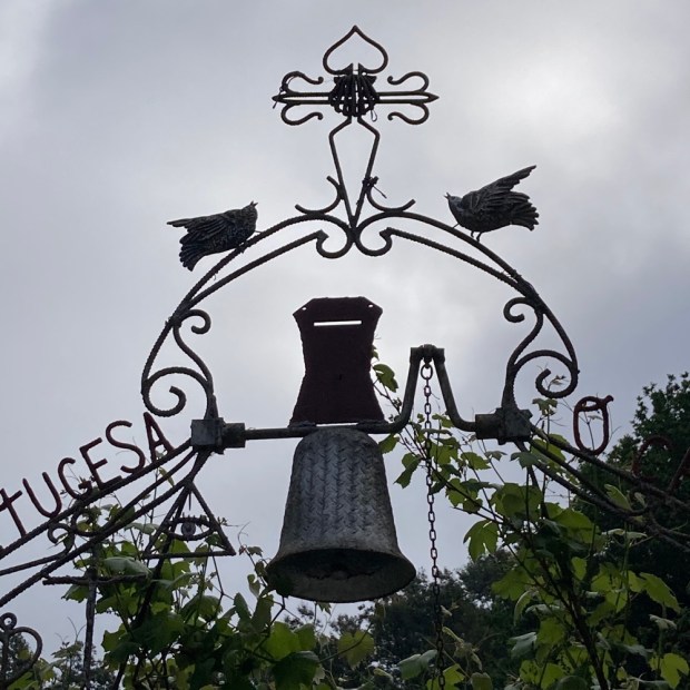
The symbols of our journey were all around us as we moved through the suburbs, now with Catarina, and still by times on leafy lanes.

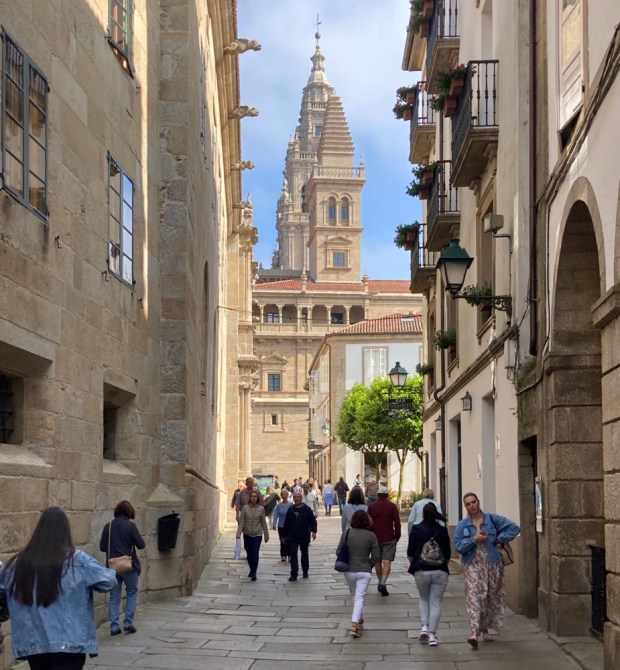
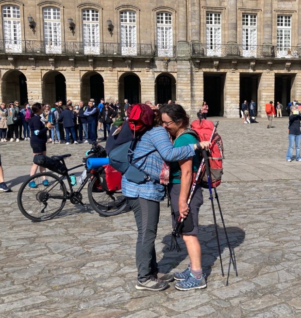
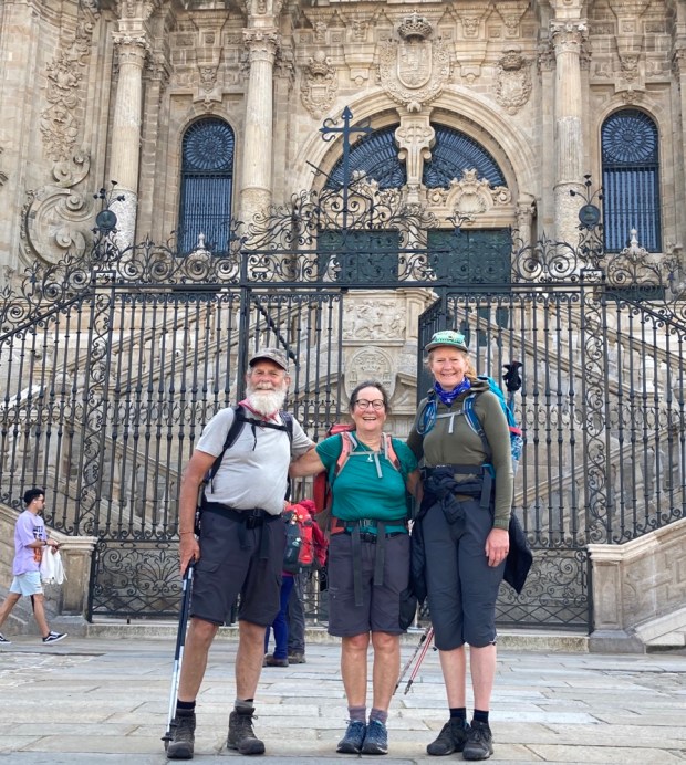
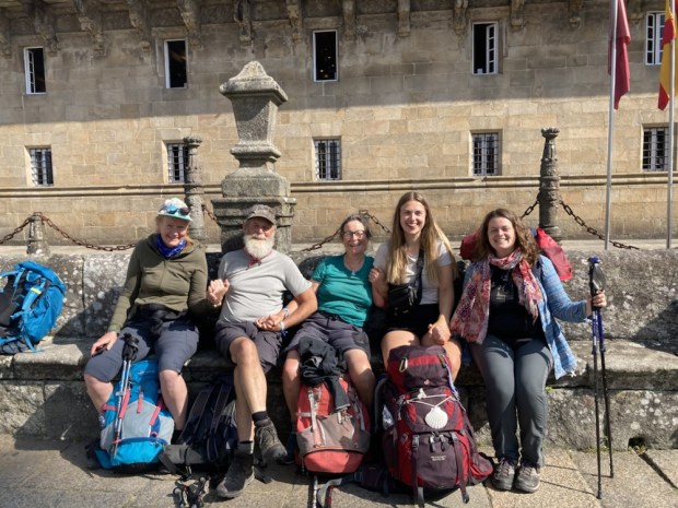
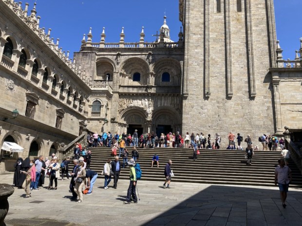
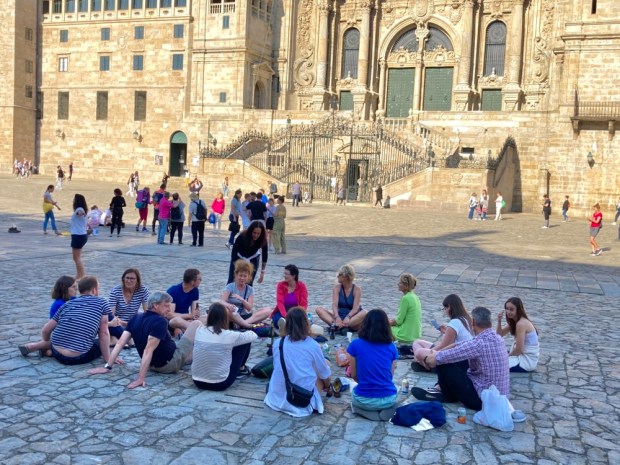
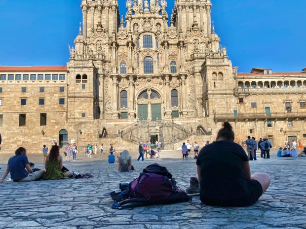
Without warning the cathedral towers were suddenly right ahead and in a moment, but after a fortnight, we entered the plaza, where many many people were experiencing the same emotions. Elation, gratitude, joy, bewilderment and love- to name a few.

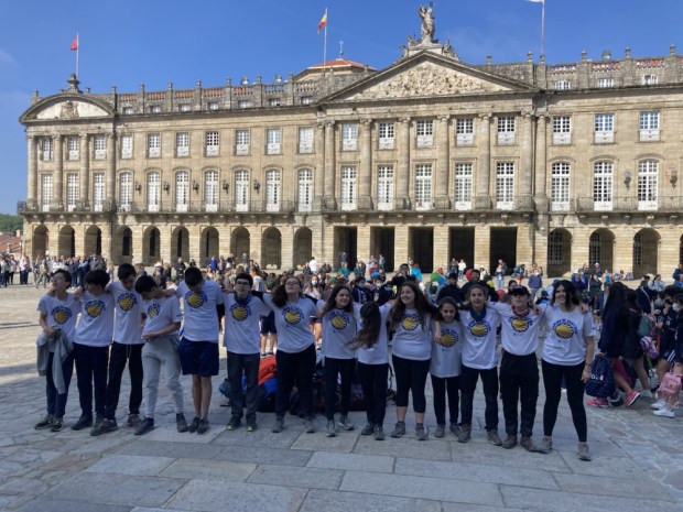
We met others, Isobel and Yolanda and saw the Dutch walking group leader dancing madly round with a bunch of kids. People hugging, people sobbing, people laughing with relief. It’s over.

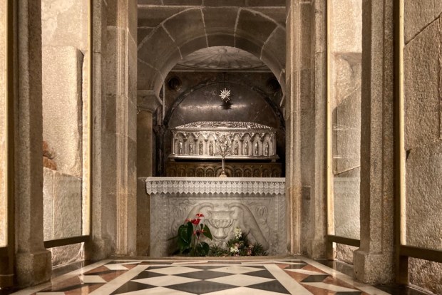
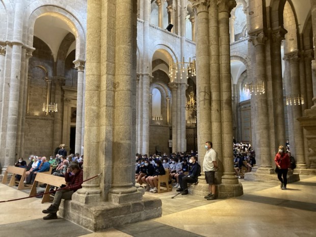
Time to get into the cathedral- the original focus of the whole cult of St James, a show with a cast of millions that’s been running for two thousand years. Leaving our packs outside in a display of faith and trust we followed the young Spanish couple known from many encounters into the sacred space where we visited the saints underfloor crypt before searching for a seat in the already full house.

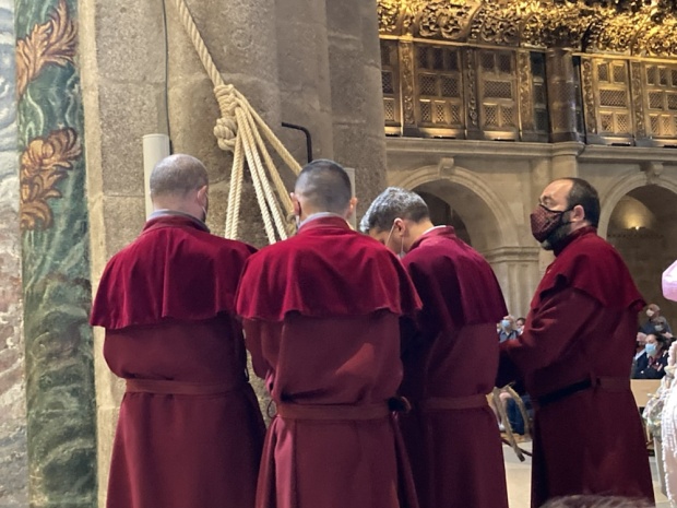
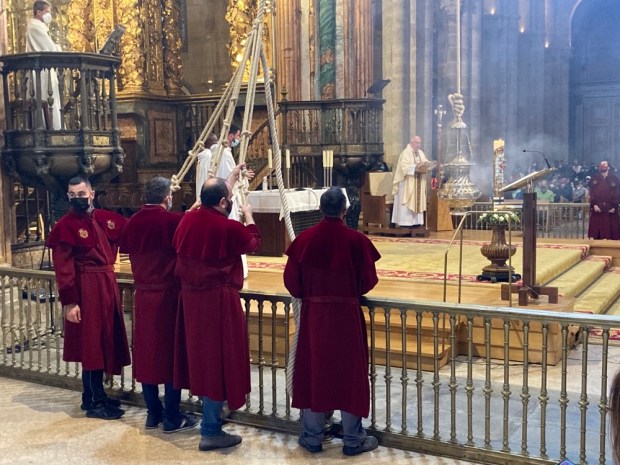
As great luck, or divine intervention, would have it we had placed ourselves in the very best place to witness an event that happens on various holy days or can, in some circumstances, be paid to take place. The lighting and swinging of the Botafumeiro. A medieval air freshener, designed 800 years ago to purify the air of 100’s of sweaty pilgrims, its 1.5m high, weighs 50 kg and is loaded with another 50 kg of incense and charcoal. A crack squad of “tiraboleiros” do the rope work and get it swinging at 70 kph after a minute and a half of ” pumping” sailing high high up into the naves.

Quite a treat to witness. A last supper with Caterina, check in and shower at old quarter hostel, a wander through the multitude of Camino souvenir shops and I went off to the Pilgrims office and got my Compostela , the certificate that should ensure my sins are wiped and my name is down at the pearly gates. It will join the one I gained 17 years ago and the ” dual pilgrim” cert bestowed after the Kumamo Kodo pilgrimages in Japan. All good insurance cover. The Cathedral plaza was by then a place of relaxation and celebration.

Many foot sore people finally able to rest. We had all done well to get here. Sally’s feet were in very poor shape, I still had painful gout in my right foot, Emma, the Camino newbie, had finished un blistered. To celebrate we had dinner in Paradise, or Cafe Paradiso. Emma was leaving on an early flight in the morning while we had time to visit the Pilgrimage museum with interesting displays on the history and culture of this timeless worldwide phenomena.

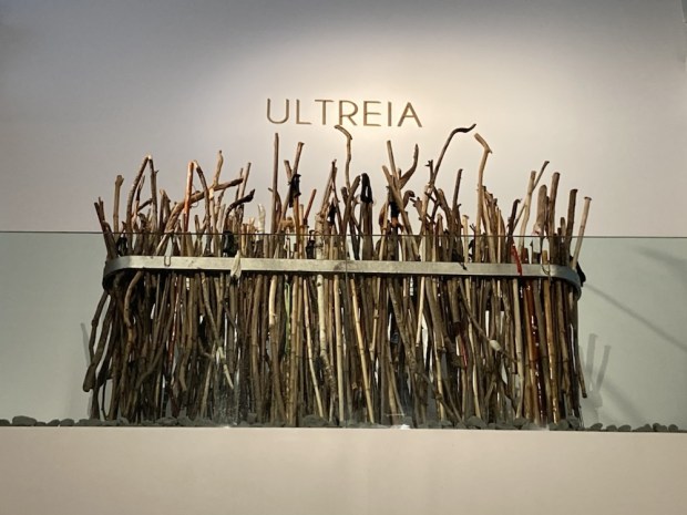
So many Ways. So little time. Ultreia !

BADLANDS 2: Yesares de Sorbas

About 25km east of Tabernas is another “protected” Natural Area, the Karst en Yesos de Sorbas. Founded in 1989 this 2,500ha reserve is one of the best examples in the world of a karst landscape comprised of gypsum ( Yeso). The same harsh climatic conditions as Tabernas ensure a limited variety of flora can manage here.


Its gypsophyte flora- plants that are gypsum tolerant- are rare or endangered and many are endemic.

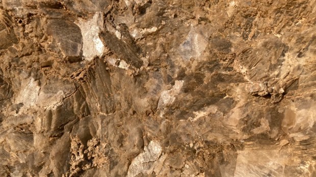
These species are under threat, however, mainly from mining activity, which, although prohibited within the protected area, is the economic mainstay of Sorbas. There are three big quarries, extracting 5million cubic tonnes a year for cement and plaster across the world, including Los Yesares, Europe’s largest gypsum quarry. The multi faceted crystal in the rock constantly flashes in the sun as you walk through the landscape while underneath your feet over 1000 caves and a multitude of interconnecting passages create a labyrinth through the limestone.

After a short exploration of the Cuevas de Sorbas, which has tentacles stretching out over 50 km, we left the town clinging precariously to a cliff and headed off to a place dear to our hearts, Los Molinos de Rio Aguas.

Another prolonged stop on our road trip nearly 30 years ago Los Molinos has stayed constant in our diminishing memories. A derelict village, hollowed out by abandonment, in the process of rebirth. An English environmental charity, Sunseeds, had established itself here to work on desertification and alternative, sustainable technologies. In its wake volunteers were settling, rebuilding off grid ruins in the village above the oasis created by the spring of the Rio Aguas. A beautiful place with lovely people doing good work.

3 decades on we saw how much had grown and been restored as we followed the signs of a PR walking route down through the houses and gardens to the fecund waterway below.

The emerging waters of the Rio Aguas once powered the derelict water mills, producing flour and oil from the crops irrigated by the system of acequitas , water channels, still working now to feed the gardens. Thick stands of bamboo like cana thrive in the damp surrounds, used for a multitude of tasks. Cool pools among the sparkling boulders give blessed relief from the summer sun and are home to endangered turtles. We followed the path passed a little house blended to the rock to the birthplace of the river, and then on up to the top of the Rio Aguas gorge.

The huge areas of dry fields and terraces, dying trees and abandoned fincas around us told a sorry tale of climate change and hardship but a man we coincidentally ran into walking his 8 dogs through the hills told us a sadder one.

David Dene is a fellow we helped 30 years ago to clear paths and build walls as he started a life in Los Molinos and it was good to know he was still there. Over the years he has become more of a prominent environmental activist, fighting at local, European and United Nations levels on a number of issues. He told us of the irreparable damage being done to the Rio Aguas spring and its downstream ecosystem by the massive amount of water extraction from the aquifer that feeds it. The fossil waters laid down 1000’s of years ago are being sucked out of the ground at a rate of 200 times what is available to irrigate rapidly expanding ” super intensive” olive plantations between Tabernas and Sorbas.

First established in 2007, over the next 10 years the area planted multiplied 20 fold and its estimated that now 5000 ha are under super intensive production. The olives are grown in continuous dwarf hedges that are mechanically planted, pruned and harvested at a density of 1,500 to 2,000 trees per ha as opposed to the traditional rain fed terraces density of 60-100 trees per ha.

With each tree being fed 10l of water and chemicals to maximise cropping the aquifer is being drained of approx 40 million litres a day. If it takes 50 years for a drop of rain falling in Tabernas to make its way underground to the Rio Aguas spring in Los Molinos you can imaging the effect of this ” absolute unsustainability”. Water has run from the ground there at a average rate of 40 l per second for generations, now it’s down to 7 l per second.
” An agricultural bubble with virtual water has been created”

The economics are shortsighted in the extreme. It costs about €6000 a hectare to set up a super intensive plantation. Cropping begins after only 3 years and they reckon it pays for itself in 6. They are even grubbing up irrigated groves to plant super intensive, super water hungry industrial estates of olives. It’s calculated that the aquifer will be dry in 10 years. They are now drilling 400m looking for water in a headlong rush to desertification.

The farmers/ multinationals often refer to the water saving technological advances of the drip feed systems they employ. Unfortunately the Jevon Paradox states ” As technological improvement increases the efficiency with which a resource is used, an increase in consumption of that resource is more likely than a decrease”.

The result, for David Dene and the rest of the people of Los Molinos and surrounding villages, is that in 5 or 6 years the spring will stop flowing, Europe’s only true Oasis will dry up and ecocide will occur.

Still, David and other campaigners fight on and one can only hope that sense, and law, will prevail and the madness , driven by our wanton consumption, will cease.

Bidding farewell we carried on across the esparto covered landscape, crossing the Barranco del Tesoro on the Puente La Mora. On the old track to Sorbas the origins of the bridge are unknown but it was written about in 1573. There were plenty of deep karstic sink holes about and we needed to watch our step.

After following the cliff tops for awhile we started to descend into the barranco through an abandoned hamlet that quietly crumbles whilst life hurtles past on the motorway constructed above.

We were back at the Rio Aguas and now we looked apprehensively at the tranquil turtle pools before following the waters upstream to Los Molinos and the camper.

We moved a little north east to park up at another deserted village where we started our last hike of the trip in the morning.

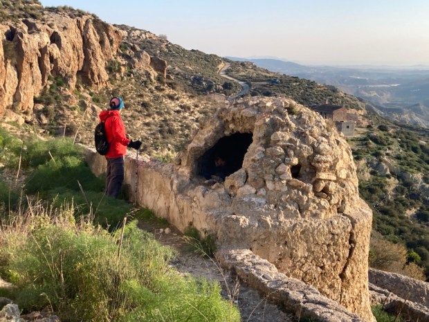
Marchalico- Vinicas was left alone in 1969 when its last inhabitants finally followed those that had been leaving for a decade. The gypsum mines no longer needed the manual labour, the water was too chalky to drink and it was generally too tough to make it on your own up there. Nowadays the motorway roars at the foot of the hill but then there were no roads. The nearest doctor was a 4 hr donkey ride away over unmade tracks.

Our path wound through the couple of dozen buildings, the ghosts of hard lives embedded in the twinkling gypsum they were constructed with and from.

At the top of town was a fine bread oven and above that an era, or threshing circle, used to process the grains they could grow here in the days of rain. Wheat, barley, carob, almond and olive on the terraces, more fruit and veg in the gardens below. And sheep and goats shepherded from place to place.

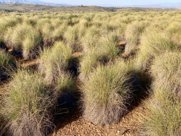
As we continued up and across the high plateau of esparto grass, stopping to look at the results of events on a geological timescale- the gypsum blisters or tumuli and sink holes colonised by fig- I mused on lives becoming unsustainable in a far shorter period. Marchalico- Vinicas was only 100 years old when it could no longer support it’s inhabitants.

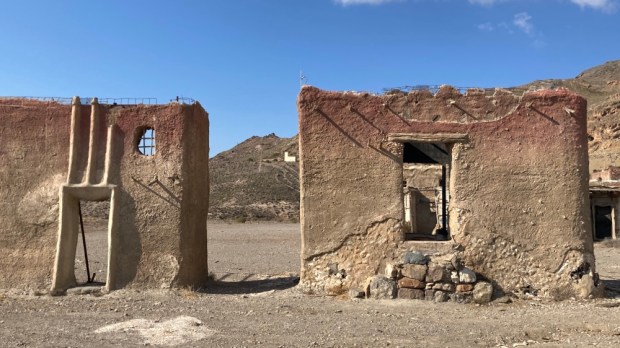
After weeks of walking through vast areas of irrigated crops across a very dry Spain , and learning the fate of the Rio Aguas , it is no surprise to read that climate change / human activity has led desertification to seriously effect a third of Spain. I fear the symbolism of the abandoned movie sets could be profound.

CAMINO MOZARABE: Granada to Baena 3

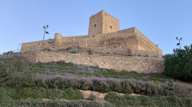
Our last leg, at 26km the longest of the trip, started pre dawn in Alcaudete and ended back at the camper in Baena. From the back alleys we wound our way to the plaza below the castle wall entrance and the blue lit ayuntimento where we got a stamp in our pilgrims ” credencial”.

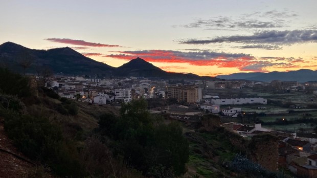
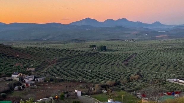
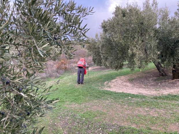
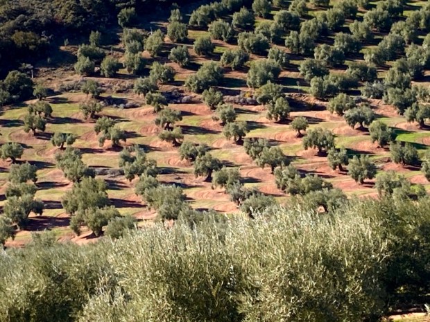
As the light grew and the streaks of red tattered cloudlings turned pink we left the towering fortress and descended once again into the sea of green. A never ending carpet of olives blanketing the swelling hills and washing up on the uncultivated high tops.

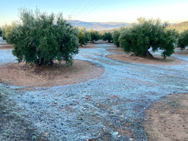
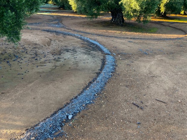
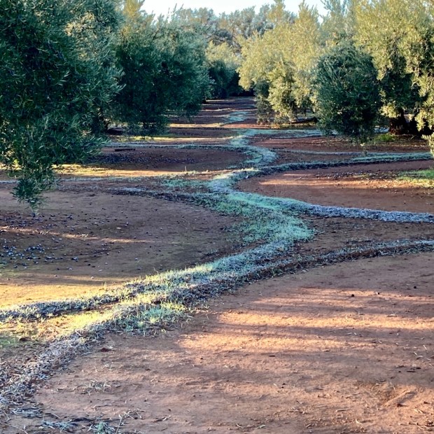
The freezing night left a legacy of frost that highlighted the agricultural art of the groomed groves.

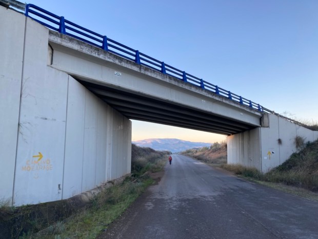
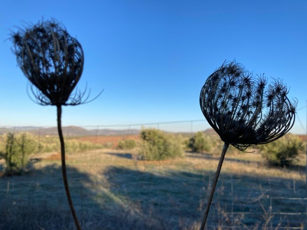
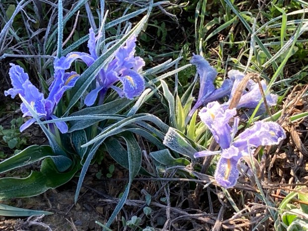
Under the main road we headed off on a frosted track adorned with seed heads and frozen stalks and the first fragile iris’s.

We walked a line sandwiched between olive plantation and solar farm, an interesting intersection of past and present, tradition and innovation and endangered and sustainable.

For days we had been walking through a very dry Andalucia and yet the growth of new irrigated plantations continues. The region produces 80% of Spain’s and 30% of global olive oil. 900,000 tonnes a year. Plus 380,000 tonnes of table olives. They take up 85% of the land. 70 million trees- 1.5 million ha- the biggest tree plantation in Europe. The defining historical, cultural, agricultural and economic feature of this huge area of Spain. But there are many danger signs.
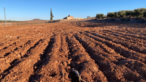
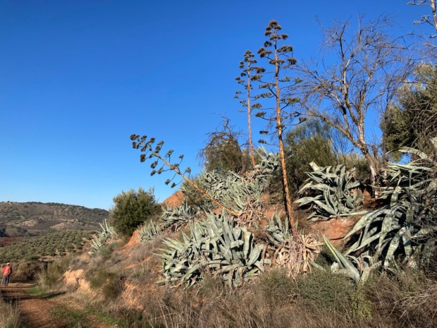
Water is running out. Teresa Ribera, Spain’s Ecological Transition Minister says that southern Spain will see a drop of 40% in water resources by 2050 with increases in drought and desertification. Over exploitation of natural aquifers and illegal digging of 500,000 boreholes are leading to disaster. Every effort to control wanton water use is met with fierce and powerful resistance. 50 years ago 5% of olive production was irrigated. In 2015 it was 20.6%. Now it’s 35%. At a time when there is less and less water available.

The temptations are obvious but shortsighted. By irrigating it’s possible to increase yields from 2 -5000 kg/ha to up to 15,000 kg/ha. But studies have shown that it can increase compaction, erosion, loss of organic matter and leaching of nitrates and phosphates into groundwater, 28% of which is now close to or above potability levels. Over half of the olive plantations are on a slope of more than 10 degrees – making them very vulnerable to erosion given the usual clearance of all vegetation around the trees.

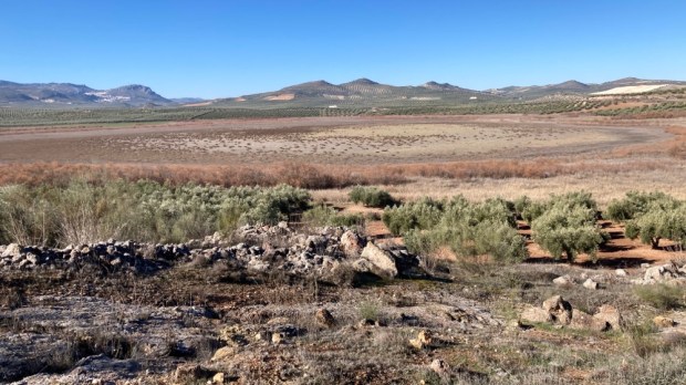
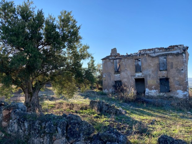
So much seemed at stake as we continued on up over sandy lifeless hills and down into dry river valleys, and past empty reservoirs and lagoons. The stark sight of abandoned homesteads seemed a fitting symbol for past and possible future.

The investments in the olive oil industry have been huge – in the grubbing up of old and replanting with new varieties, the machinery and mechanisation of the harvesting and building of new and bigger milling and processing plants. World consumption has skyrocketed and foodie fetishes have developed. In contrast to the industrial and intense mass production of the oil in most kitchens is the El Poaig oil from hand picked olives on the millennial trees of the El Maestrat region of Catalonia and Valencia. The registered and protected ” arboles monumentales”, from 1000 to 2500yr old produce an olive whose oil sells for €160 for a 500 ml bottle.

There are some hopeful signs of change as grant schemes are introduced to support more sustainable methods and the Andalucian regional government has presented a draft ” Law of Olive Groves” with sustainable management as one of its chief targets.

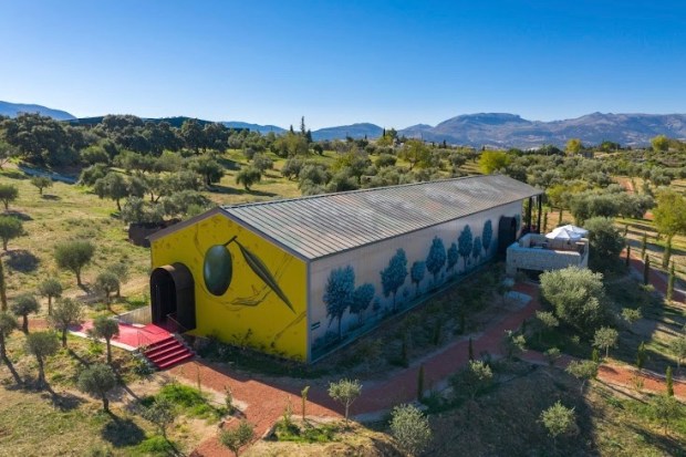
There is a burgeoning Olive Tourism sector with interested people paying for stays on farms, visits to mills, oil treatments in spas, tasting sessions, cooking courses and olive picking “experiences”. They want something authentic, traditional, organic and sustainable. Philippe Starck the designer is promoting this idea in a big way. His company LAOrganic already has a 25 ha Oleotourism attraction outside of Ronda where you can stay and taste and spend and has started building an €11 million organic oil mill there.

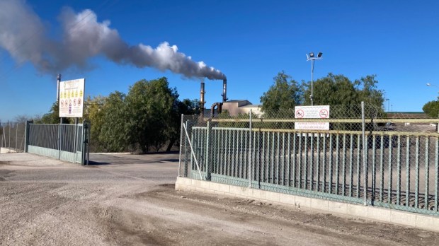
Nearing the end of our journey we rested awhile on the Via Verde cycling route on the old railway line overlooking the sadly dry wetland of Laguna del Conde before climbing the last long rise and finally, with the end in sight, passing the belching processing plant we had left 5 days before. Up through the scrubby wastelands of semi developed suburbia and back to our thankfully unmolested camper.

For a finish the next day we visited a remarkable site. Discovered under a hilltop olive grove not far from Baena was the Roman town of Torreparedones. Years of excavation have revealed hidden splendours from 2000 years ago when the Romans were planting olives here and exporting the oil back to Rome in huge quantity. So much that a 50 m hill near the port there was found to be almost entirely made up of 53 million amphora from Spanish oil.! It’s been going on a long time.

One of the remarkable finds was a temple devoted to Iberian/ Roman god Juno where the North/ South axis and clever construction made for mid summer and mid winter noon sunlight displays.

Who knows what lies beneath as you walk the Camino Mozarabe.

CAMINO MOZARABE: Granada to Baena 2

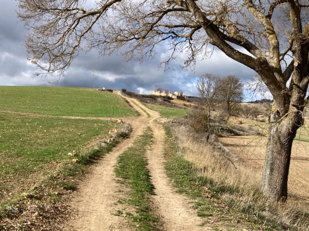
We left Moclin pre dawn, without going the extra metres to explore the fortress or church built on the site of the ancient mosque, and under the watchful gaze of the many Moorish lookout towers perched atop hills for miles around, we descended to the valley below. We past some spectacular via ferrata routes up imposing cliffs and a tranquil fuente and wash house.

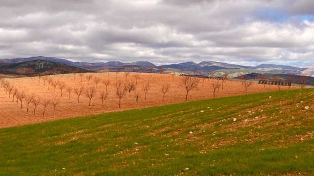
We were heading for Alcala la Real, a hike of 22km, through a landscape of rugged rounded hills , wide valleys and high plains all carpeted with olive and fruit trees, fields of grain and grass , crops of asparagus and gardens of lettuce, beans and potato.

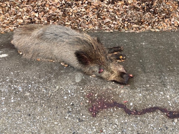
It was a chilly start and a cloudier sky than the previous days but walking soon had us stripping off the layers. There was often the buzzing of machinery as the mechanised olive harvest continued and on the couple of sections on the road, the roar of traffic. We had seen the diggings of boar alongside the road and then, unfortunately, a roadkill. But there were also long stretches with just birdsong as we walked through the trees, along the tracks and passed the old ruined cortijos.

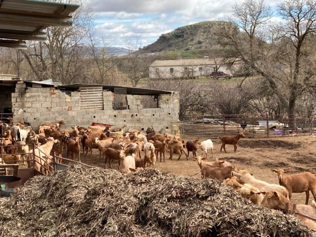
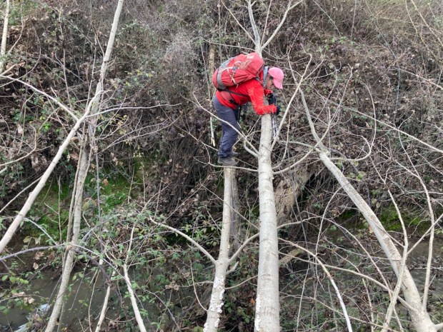
At one point near Ermita Nueva we stopped at a prize winning cheese maker and bought a big chunk of his sheep/ goat semi hard. Delicious. He was proud to give me a taste of his “all natural” wine which was also delicious so of course I bought a 2l bottle and left the place with a pack 2kg heavier. Just down the road we passed his brothers herd of goats, munching contentedly on olive leaf and twig- an unwanted byproduct of the harvest. In need of a rest and food and stimulants we tried a short cut to a garage/cafe/bar on the main road. All good until the final few metres when a deep and stinking arroyo blocked our way to nirvana. Nothing for it but to force our way through a jungle of king brambles and clamber over the ditch using fallen trees. And enjoy a brandy coffee.

Later we passed a massive solar farm under construction and looking back at it we saw our last view of the snow clad Sierra Nevada. And then on weary legs we were into the outskirts of Alcala, drawn towards the imposing castle and our room. Later on we hit the streets. It was Three Kings night. The next day was Epithany, a public holiday, and there was merriment to be had.

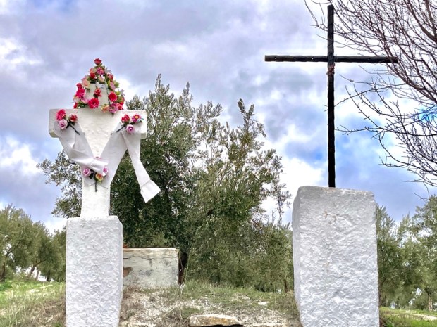
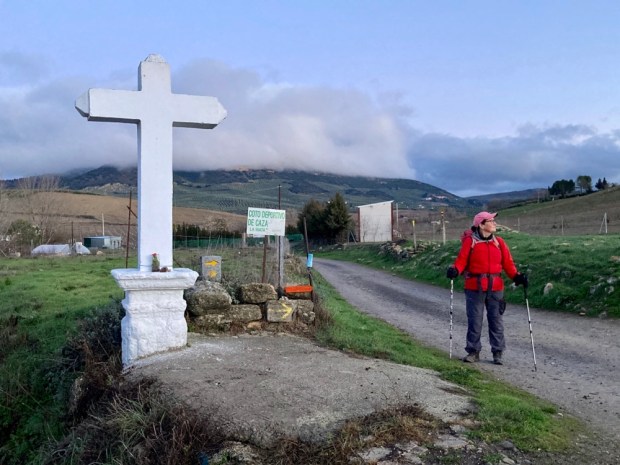
Another early start in the gloaming next morning with 23.5 km to do to Alcaudete. A rash of roadside crosses to start and then, as the day warmed up under blue skies, more tracks and trails through the multitude of olive formation planting. Driving through the area you might conclude that it was an homogenous, monotonous monoculture but at walking speed the differences in the details make for great variety of view and terrain.

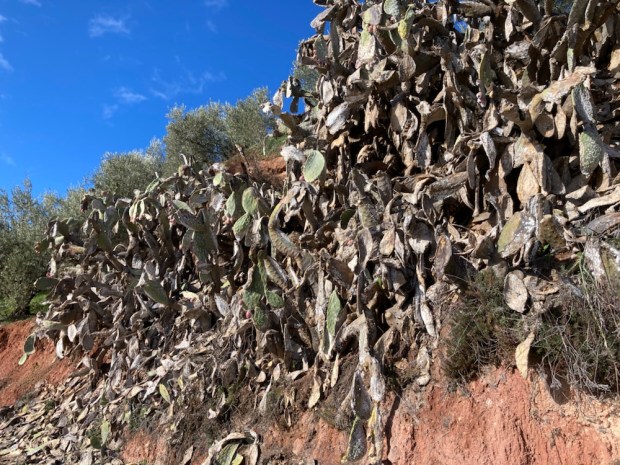
It was sad to see the erosion of the soft sandy soils and sad to see the dying prickly pear but otherwise it was a beautiful days hike. We got to Alcaudete worried that we’d have no food again with all shops and restaurants shut for the holiday but just before our room was a fine bar and fine food. Fed and watered we could retire to our room and admire the view of the castle.

EL SALTILLO-Getting high in Axarquia

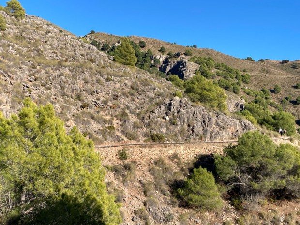
A dramatic walking route opened in the Parque Natural de Tejeda, Almijara y Alhama in October 2020 after many months construction. An old path following irrigation canals and pipes into the mountains above Canillas de Aceituno was transformed with a steel and timber suspension footbridge and other hanging walkways fixed to sheer cliff faces.

The €600,000 investment is hoped to bring in much needed tourist revenue to the area and it seems to be paying off. The day we tackled it the town at the start was busy with people with poles, and the pandemic has led to many more people exploring the vast natural areas away from the more crowded costa. In fact some places such as the Caminito del Rey and El Torcal have become a victim of their own success with long queues, traffic jams and overcrowding but we’ve always found that away from the honey pots Andalucia has space aplenty.
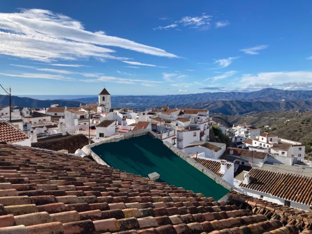
The walk starts in the Pueblo Blanco of Canillas de Aceituno at about 600m. If you just go to the bridge it’s a 8 km out and back but we were going to continue on and up to a mirador to make a hike of 11km.

After a quick coffee we followed the signs steeply out the back of the town on a route that continues to the summit of Maroma, at 2065m, the high point of Malaga province.

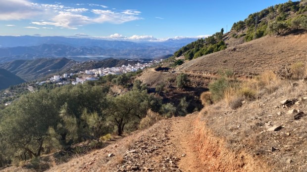
The way led up beside orchards and olive groves with the burbling waters of the acequia rushing along at our feet bringing life giving waters from the Sierra to the crops of the Axarquia.

Away from the town the surroundings got rugged rapidly with the path following the contours of the land through scented pines and Mediterranean scrub of gorse, thyme and esparto. The ridges of the mountains above us separate the provinces of Granada and Malaga, which we looked out over to the west, as we rested and watered at El Albercon pool.

The deep folds and convoluted ravines we crossed showed signs of former lives with ruined buildings clinging to the shaley slopes. There was mining in the past and fine sand was collected from the mixture of eroded gneiss, quartzite, schist and limestone.

At about 3km in the summit of Maroma came into view and shortly after the suspension bridge below us.

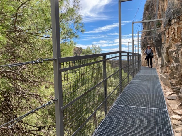
Things got interesting as we negotiated our first fixed steel walkway and signs warned of the dangers of falling. In fact a women had fallen to her death shortly after the trail was opened and you need to keep your wits about you.

The trail forked, to the left more walkways and a trail led around the mountain to meet the waters of the Rio Almanchares at waterfalls and pools while ours to the right took us steeply down on giant steps through the pines, to cross the ravine 80m above the river.

An impressive feat of engineering, the 55m long bridge is Spain’s 3rd longest and involved helicopters, zip wires and mules in its construction.

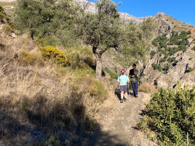
The easy bit was over and as most walkers stopped for snacks before they returned to town we continued up. More giant steps, and chains to cling to started to appear. We had a 300m climb ahead and those without a good head for heights had it tough.

With pounding heart and throbbing legs we reached a more level hill top before continuing on a stony path up through the sparse trees towards Maroma with glorious views south across the peaks to the Mediterranean and the Rif mountains of Morocco. The tell tale signs of snuffling boar were all around and a couple of our party briefly spotted a darting mongoose.

A small stone building of unknown purpose drew us to the top of the rise, over which lay our goal – the mirador, at 980m. This route is now linked to one of the 35 stages of the 750 km Gran Senda de Malaga, the GR249, a wild and wonderful trek I completed a few years ago and now attracting 2 million people a year to take on sections.

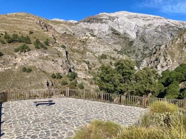
The expansive flagstone floor only had one, very welcome, bench to rest our weary limbs on as we soaked in the breathtaking vista of the fine fluted cliffs on the southern flank of Maroma, still high above us. The stunning views were a just reward for the effort put in to reach them, and just as good on our way back.

A great day out on a stunning route under a blue sky accompanied by the sounds of water, the scents of pine and thyme and the taste of adventure.

SIERRA de GRAZALEMA

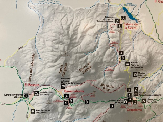
South of Seville, east of Cádiz lies the Parque Natural Sierra de Grazalema, a 500sq km UNESCO Biosphere. 10 ” white villages” of Moorish origin are tucked defensively into the rugged folds of the high limestone peaks, 20 of which surpass 1000 m. The Sierra is the western tail end of the Cordillera Betica, the range we were hiking in 300km further east in the Sierra Mágina. Like the Mágina region this was the frontier between Muslim and Christian territories in the 13th to 15th centuries which explains the formidable positioning and also the names of the many towns called ” ….de la Frontera”.

Although relatively small the park is immensely varied. Towering bald grey peaks and vertical cliffs lead down through deep clefts and gorges, through thick forests of holm, gall and cork oaks to grape and nut and olive plantations with lush grassy meadows and fields of grain.

The mountains are the first high ground encountered by the wet winds from the Atlantic and the rain that is dumped on them make this the wettest area in Spain and the greenest in Andalucia. The favourable micro climate enables 1/3 of all plant species in Spain to thrive here, many endemic, which in turn encourages a wealth of bird life. Referred to as an ornithological wonderland the sky is often full of wheeling raptors soaring on the updrafts above the cliffs.

Although the land is productive with cow and goat cheeses, honey, wine, oil, grain and regional crafts of wool, cork, leather and esparto grass are still strong the area has been through hard times. A testament to the rural exodus of the mid 20 th century are the forlorn and crumbling cortijos returning to the land from which they were built.

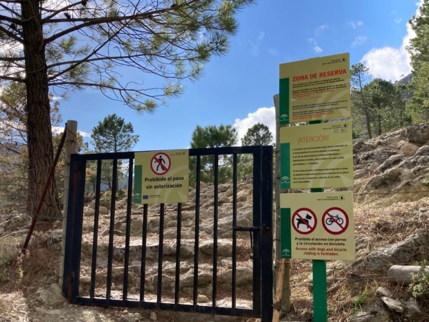
Tourism, particularly of the green variety, is helping to keep the region vibrant and droves descend on holidays and weekends from far and wide to explore and enjoy the natural beauty. So much so that permits are needed to hike 4 of the trails in the inner 30sq km “area de reserva”, the most spectacular and protected part of the park and even these are normally closed completely from July to October.

We managed to secure permits for 3 of the 4 walks at the Park info centre in El Bosque and with maps of other routes for later we set off on our first, the Sendero El Pinsapar.

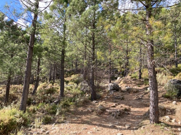
From the parking and picnic area of Las Canteras high up on the road that twists and turns it’s way over the mountains from Grazalema to Zahara de la Sierra the 11km route climbs up through a pine forest planted to hold back the erosion the areas high rainfall can cause. The ground was coated thickly in the long needles cast off by the trees and we wondered if their acidifying effect on the limestone beneath would eventually create a neutral ph loam.

After a climb of around 300m we reached a pass at Puerto de las Cumbres, a natural gateway to the northern flank of the mountain where the route continued west on a much more level gradient half way between the valley floor below and the summits high above us. Pico San Cristobal stood out dramatically with fast moving cloud scudding across the blue around it and the mighty buttress of El Torreón, the highest peak of the Parque at 1654m loomed in the distance. A strong buffeting wind forced us on along a rocky path toward the sheltering Pinsapo trees.

The Park’s UNESCO Biosphere status was granted primarily because of the huge stand of the rare Spanish fir, the Pinsapo, here. It only grows in the Sierras Grazalema, Bermeja further south near the coast and Nieve, where we had first discovered it last year. A relic that has survived since before the last ice age it had dwindled to a total of about 700ha but successful conservation and re afforestation programmes have increased its area to over 5000ha.

“Discovered” by Swiss botanist Pierre Boisser in 1837 these prehistoric trees can live from 200 to 500 years so some of these veterans had been here a long time. Sadly climate warming has made them more susceptible to dying from a fungal attack and future planting may need to move to the colder Sierra Nevada and Cazorla.

With a couple of hours till sunset we left the shady heart of the forest and returned to the col passing an ancient snow pit used for centuries to store ice and many trees adorned with large clumps of purple berried mistletoe.

Climbing higher up the switchback road in the morning to the pass of Puerto de las Palomas at over 1300m we stopped at the mirador for breakfast before zig zagging down the northern side weary of the awesome drop close beside us.

The stamped and signed permit allowing us to hike the Sendero La Garganta Verde remained unseen as we started the trail a little later.

The Green Ravine has been slowly carved for millennia by the Bocaleones stream down through the limestone until now, although only 10m wide in places it reaches 400m deep. Sheep grazed unperturbed as we made our way through the thick Mediterranean scrub of broom, wild olive, gorse, mastic, palms and scented herbs. This inner reserve seemed particularly verdant and the plenty full bird life could feast on the heavy crops of fruits and berries.

At a warning sign the path started a steep descent into the gorge, at times on stone steps laid or carved and aided by sturdy handrails. The views below into the depths and above to craggy cliff tops were dramatic.

100 pairs of griffon vultures live above the ravine, the largest colony in Europe, and they constantly took flight from their eyries, riding the thermal updrafts and gliding to and fro on their 8ft wingspans. As we ventured deeper between the towers of rock the air became cooler, more humid, and a silence descended as the breeze was cut off. The Ermita or cave just above the canyon floor revealed itself, clothed in the curious formations of limewater sculpture and the pink and greenish colouration caused by algae action.

Finally reaching the shady still floor thick with oleander, laurel and poplar, our voices bounced back and forth on the canyon walls as we admired the natural stone carving of the Arroyo Bocaleones before starting on the laborious return to the top.

After a night in a room with a view in Zahara de la Sierra overlooking the sadly pretty empty reservoir we returned to the heart of the exclusion zone armed with our final permit- to the Sendero Llanos del Rabel. This easy trail on a wide and smooth forest track goes deep into an area of thick oak forest with views towards the Garganta Verde one way and the El Torreón massif on the other.

We soon came upon one of the many limekilns in the area, used to bake the rock into a powder for spreading on the land and also painting the houses to create the ” pueblo blanco” white villages. All the old holm oaks had multiple branches sprouting from the tops of thick trunks, indicating years of pollarding for fuel. The kilns would have got through a lot of timber.

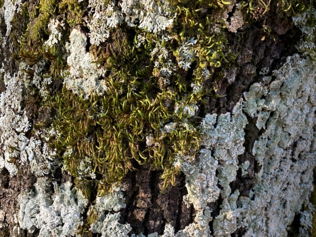
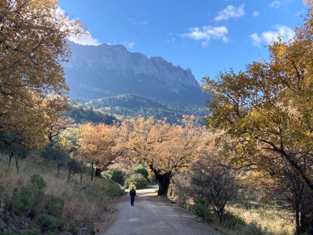
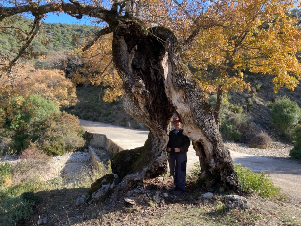
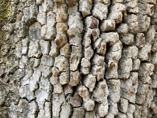
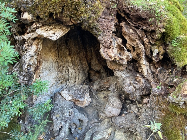
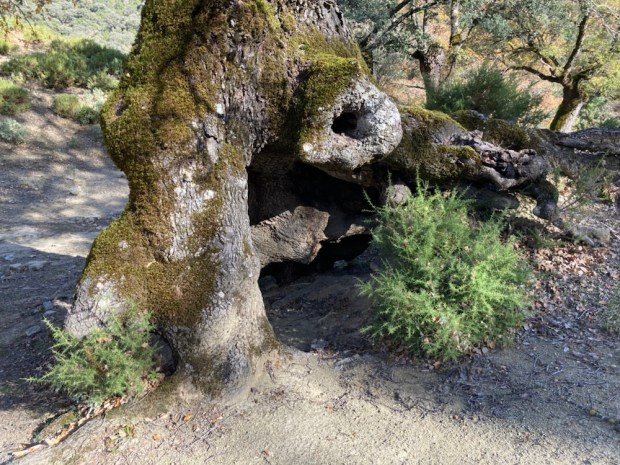
The variety of trees, particularly of oaks, made for a beautiful tapestry of colour with the holm, gall, portuguese, pyrenean, algerian and even cork (which usually prefers less alkaline conditions) carpeting the mountains in subtle shades of autumn. Some venerable old timers were hollowed and contorted in characterful ways and adorned with lichens and ferns or craggy bark.

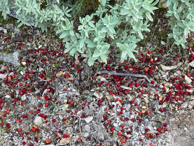
Other shrubs and plants were thriving here too. Honeysuckle, clematis, bramble and ivy climbed among the branches. Arbutus, the Strawberry tree dropped its fruit on the track and viburnum berrys hung in clusters.

The track descended to a wide flat area on the valley floor through which a river runs by times and which housed a well placed Finca back in the day. A water trough, old fields and walls and ruined buildings lay silently where a looped trail led us up and around a small hill before we returned to the camper leaving the old homestead to the tree creepers, nuthatches, finches and tits that now made it their home.
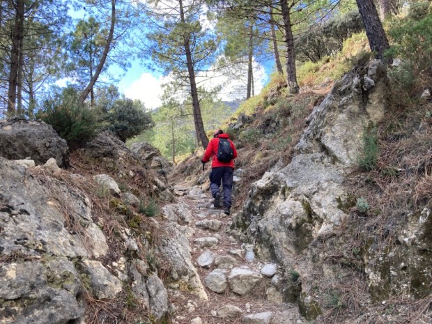
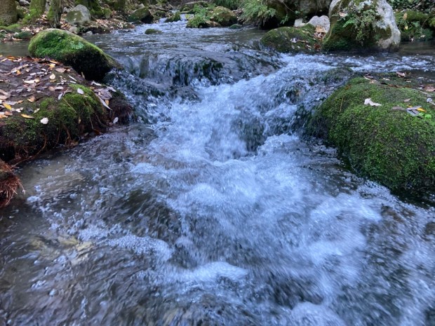
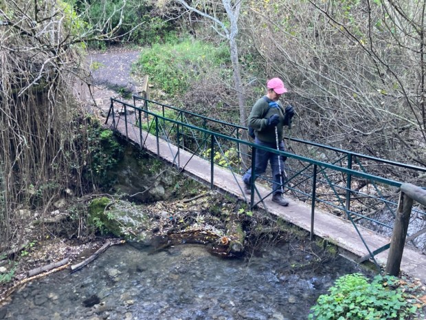
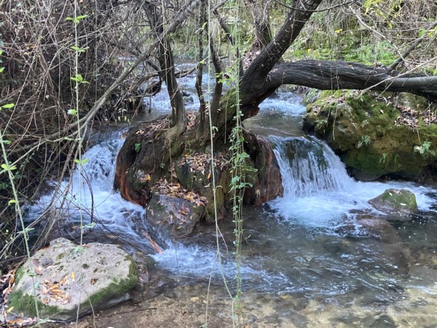
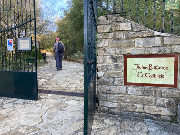
That night we moved back toward El Bosque to park up in Benamahoma, next to the river walk that connects the two towns. Although only 4.5km each way we also visited the botanic gardens in El Bosque which made it into a 4 hr hike- the same as the previous three walks. Although this area is renown for high rainfall we had yet to find any running water so the Sendero Rio Majaceite was a swirling, gurgling delight, tumbling down about 150m over the way, past the ruins of several woollen mills. The riverside path occasionally had to cross the rushing water on footbridges or clamber up and down steps to negotiate between cliffs and boulders but was mostly an easy stroll through a lush and shady tunnel.

Emerging onto verdant farmland at El Bosque the benefits of the river waters were obvious in the productive huertas or gardens that lined the bank. There used to be trout raised here in a series of tanks but are now left wild in the river, the most southerly to support them in Europe. They share the waters with otters while dippers, nightingales, warblers and woodpeckers make themselves at home in the thickets of elm, willow and poplar.

The botanic garden was a great place for us to try and get to grips with the names of the Mediterranean plants we have spent so much time walking through. Everything was well laid out and labelled and cared for but with over 300 species of tree it became a bit of factual overload so we stopped to picnic. The return leg along the river was just as pleasant but busier. This is a popular walk and it was a Sunday. I can imagine that the shade and water are a massive draw in the heat of summer.

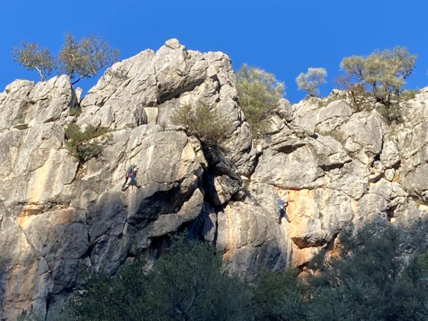
We drove south through the park toward Ubrique and then up on the switchback A374 to Benaocaz to spend the night amongst a load of other campers on some waste ground. Before the sun set we walked the Sendero Ojo del Moro, to the Eye of the Moor, a look out spot commanding a fine view over the valley of Tavizna. Up a steep rocky path under sheer cliffs we saw the reason for the gathering of campers. This was a popular climbing area and lithe bodies clung to the rock like geckos.

The next days hike was part of a big loop we had planned to do before we found out that some landowner had now closed off the route. But we were able to get as far as the Salto del Cabrero, the Leap of the Goatherd, a geological feature of a big split in the mountain.

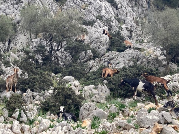
It certainly was goat country. The sight of pens and sheds and shelters and the noise of bleating and bells and the smells of billy and shit were all around us as we set off down a path of trampled earth between hoof polished rock.

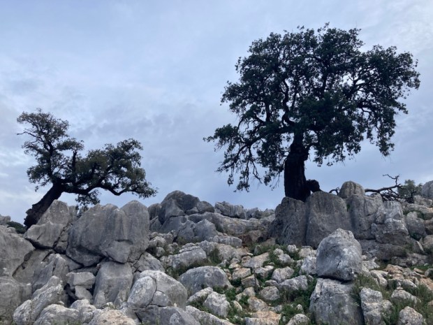
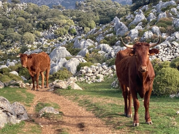
The wild olive and gorse had been nibbled into glorious topiary by the ever hunger goats and higher up through a sculpture park of limestone boulders and lonely old oaks were grazing long horn cattle.

On the high rocky plateau there was a little cortijo in the distance where we took a spur off the track to a viewpoint of the canyon leapt by the goatherd and watched more vultures patrolling the skies.

Returning the the main track we tried to continue to see the better view of the split from the northern side but soon came upon the closed gates and hostile signage. We didn’t want to blemish our clean record of permit holding, rule obeying conformity and so backed off and retreated from whence we came.

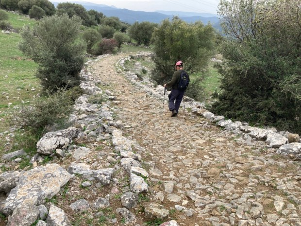
Our final walk was a short exploration from the other end of Benaocaz of the Sendero La Calzada Romana. This route down to Ubrique is on a Roman- Medieval road, parts of which date back to 1st c BC.

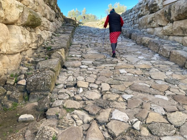
Part of a much longer main road from the Med coast to the interior at Córdoba it is impressive in its construction, and durability. Considering it is one of the most popular Senderos in the area and has been trampled by feet, hooves and cart wheels for 2000 years it is doing well.
At an ancient cobbled crossroads it was time to turn back and turn for home. We’d been meaning to come here for a long time and the Parque had been generous in showing us its splendours. Perhaps we’d been lucky with the weather or perhaps, as the emptying reservoirs and dieing Pinsapo indicated, things were changing. But as the weather worn limestone, Neolithic cave paintings, Roman roads, Moorish castles and abandoned cortijos show,change is a constant, and hopefully the beauty will survive.

EL CANON del RIO LOBOS

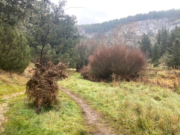
An hour or so south and west of the Holly forest we parked up for the night at the beginning of our next hike, from the seven eyed bridge or Puente de los Siete Ojos. We were about halfway down the dramatic gorge of the Rio Lobos, named after the wolves that still frequent the area. We were going to do a 17km out and back to the beautifully situated Chapel of San Bartolomé in the morning.

We were in a 10,000 hectare Natural Park and special conservation area for birds. The canyon is often cited as one of the prettiest landscapes in the whole of Spain and there’s a lot of stiff competition.

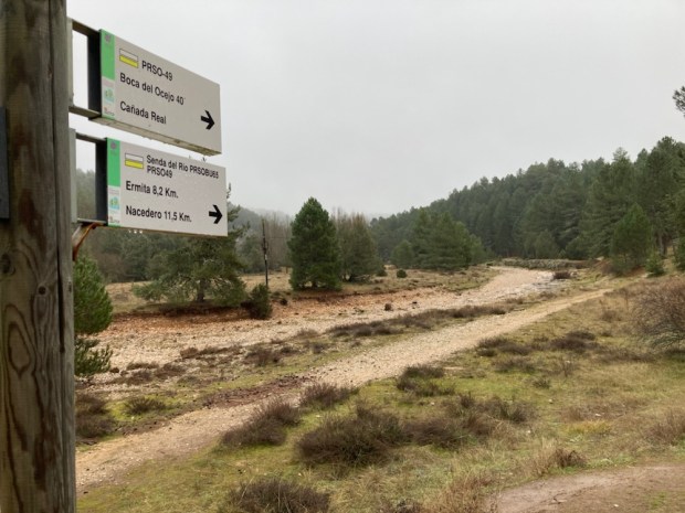
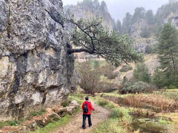
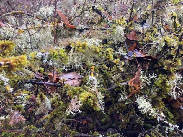
Setting off under a grey and misty sky we followed the signage down stream and into the mossy pine woods strung with lichens.

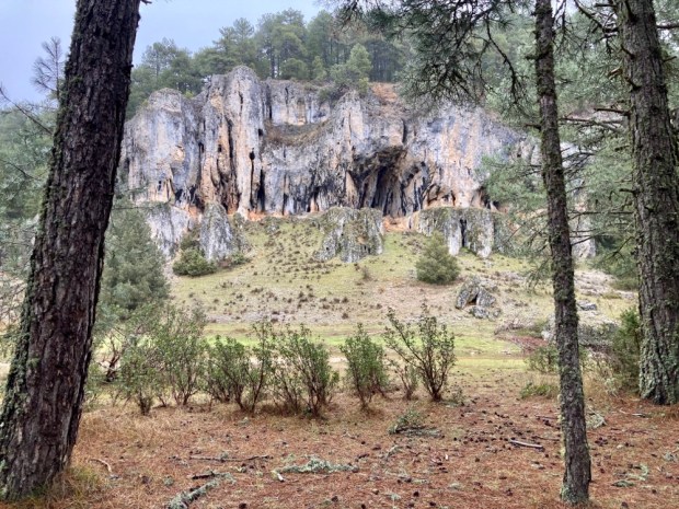
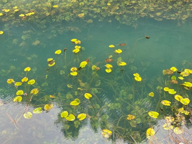
The gorge was fairly broad here with low cliffs of perforated limestone in the forest either side of the river that came and went above ground. Most of the Lobos is underground most of the time, sinking down through swallow holes before emerging again into pools of lily pads.

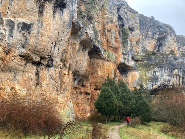
The limestone cliffs got higher around us as we continued south on steppingstones, rock steps and walkways. Dramatic caves and chasms dotted the rock faces gouged out by millennia of rain and river water.

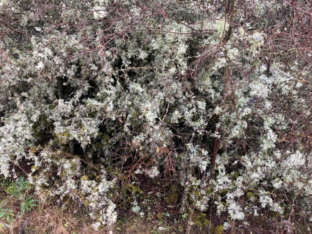
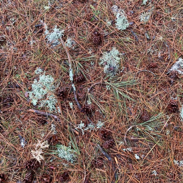
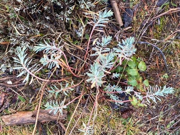
The flood waters looked like they had been about 2 m higher recently, judging by debris left high and dry in the bushes. The pines of earlier had merged into mostly juniper with hawthorn,willow, poplar and scrub of rose, gorse and spindle. The amount of lush and fulsome lichens was amazing both in the trees and on the forest floor amidst the euphorbia and hellebore.

The pines were often coated with the cotton balls of the processionary moth whose caterpillars will be dropping to the ground and moving off in line before long.

There are 151 species of bird living in the park but the main draw are the Griffon vultures, of which there are 135 breeding pairs. They sat hunched on the cliff tops, sometimes with wings spread and sometimes placed just so like some art installation. Added to the Egyptian and other vulture species here as well as the multitude of different Eagles, Falcons and Harriers, I’m amazed there is enough carrion prey to keep them going.

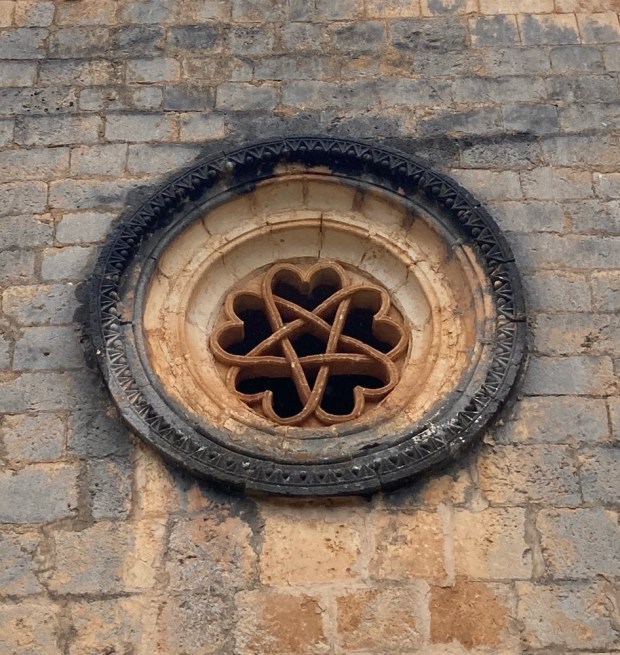
The track got busier as we approached the 12 th century chapel built by the Order of the Knights Templar. The major honey pot of the park and easily accessed from the southern end of the gorge it gets pretty crowed in summer. A spectacular setting to be sure and an attractive building with fine rose windows and corbelled doorway. Opposite is a huge cave where Iron Age engravings and earlier art have been found.
The multitude of caves along the gorge have been witness to countless generations of humanity. Stone Age tools, Bronge Age ceramics, Iron Age carvings, Celtic funereal artefacts, and bees hives from the Templars.

Truly spectacular, and we returned to the Siete Ojos replete but weary. Taking on Lobos water from the fuente we were ready for a 500 km drive south.

SIERRA de CEBOLLERA and ACEBAL de GARAGUETA

As the winter storm clouds gather over Ireland and the temperature and raindrops fall the call to Spanish adventures cannot be ignored. A 30 hour intermission in a cramped cabin surrounded by a swelling mass of moving ocean and we were once again driving into the mountains heading south.

Taking a different diversion to previous routes we drove deep into the Rioja region and up into the Sierra de Cebollera on the N 111 from Logroño towards Soria. Accompanied by rushing rivers and unbroken expanses of green,brown and gold forest of pine, beech and oak we climbed toward the snow. I had some rambles in mind in the Natural Park and we turned up to Villoslada de Cameros where the parks info centre sat next to the river below the ancient village of sturdy stone houses. Arriving at dusk we had a stroll up into town joined by some friendly hounds.

Our hiking destination, Lumbreras, was a few km down the road- but those km were up – and the snow deepened as we climbed up around the bends in the morning. By the time we arrived at the trailhead at about 1200m and struggled into our cold and wet weather gear the going did not look good.

We made an attempt but it soon became obvious that 8.6 km in deep snow was not a good plan and so had to enjoy what we could of the 23,000 hectare of well preserved forest of mostly Rebollar oak, the ones that keep their leaves, from the road.

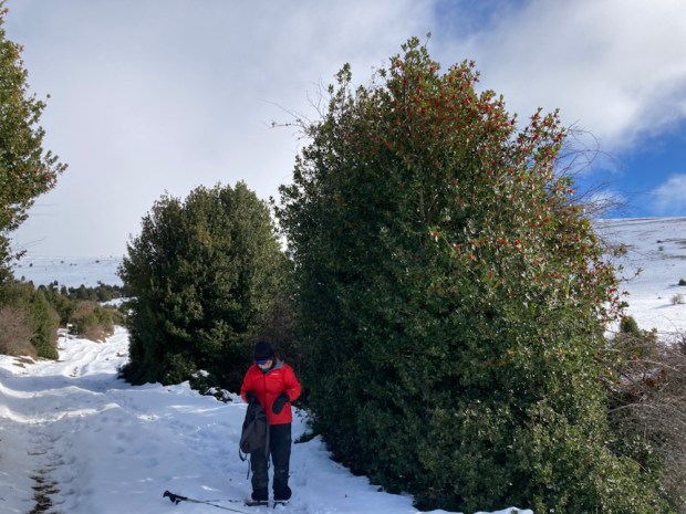
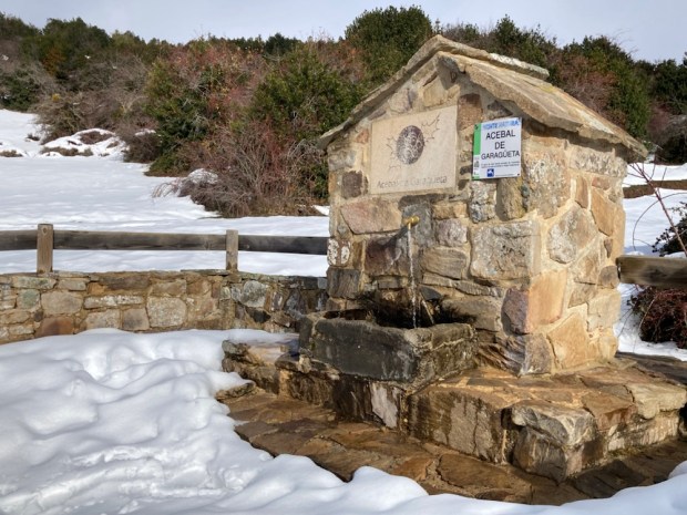
Back in the camper and up and over the Puerto Piqueras at 1700 m, or actually through a tunnel beneath, and on into Castillo y Leon and the Reserva Natural del Acebal de Garagueta, the greatest Holly forest in Europe. Might not seem a big deal but we love our Hollys and this was special.

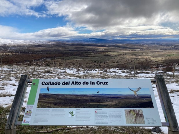
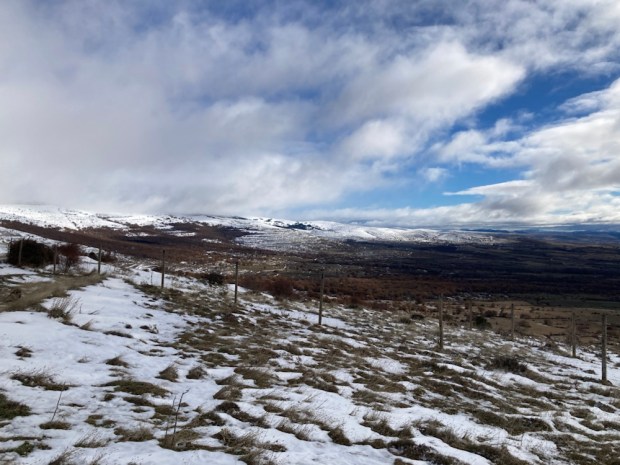
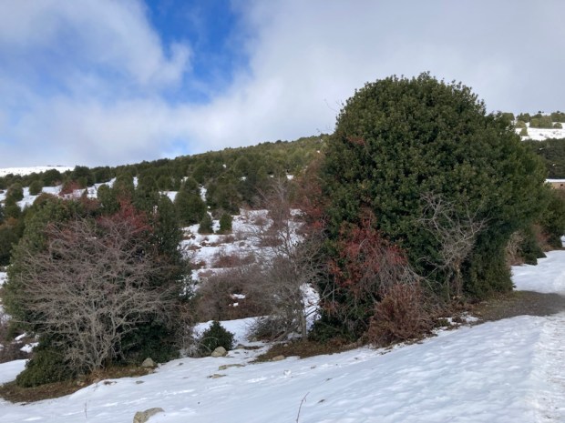
After calling in to the info centre in Arévalo de la Sierra and arming ourself with a map and some postcards we drove up the dirt track to the reserve. 300 h of Holly on a mountainside between 1400m and 1600m overlooking a huge sweep of Spain.

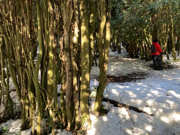
A large group of mighty vultures circled lazily above us in an improving sky as we set off down the track. Some horses snuffled in the snow for the remaining herbage and nibbled the leaves of the Holly to create an impenetrable topiary, and excluding themselves from access to its bark- saving the tree from injury.

Actually we had learnt at the info centre that it was human inhabitants that stripped the bark from the Holly and went through a lengthy process of scraping and soaking and mashing fibres to create bird lime, the sticky glue painted on branches to cruelly catch small “edible” birds, a practise finally outlawed by European law this year but frequently overlooked. In Spain the song thrush is a popular snack.

As a local resource the Holly forest had obviously been utilised for millennia for all it could supply – fuel, fodder and prey- but is now protected and the flocks of birds scattering between thick deep shelter and an abundance of berry food were impressive. The bright red berries and rose hips compete with the subtle hues of the mistletoe for the birds attention. They need to go through a gut or , with the Christmas kissing mistletoe, be wiped from a beak into a branch crevice in order to propagate. But strangely, even in this protected zone with a mass of birds and berries, there was no regeneration of trees visible.

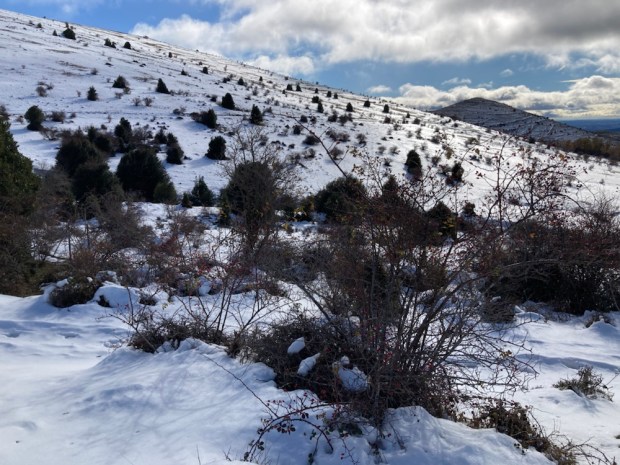
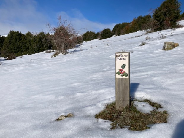
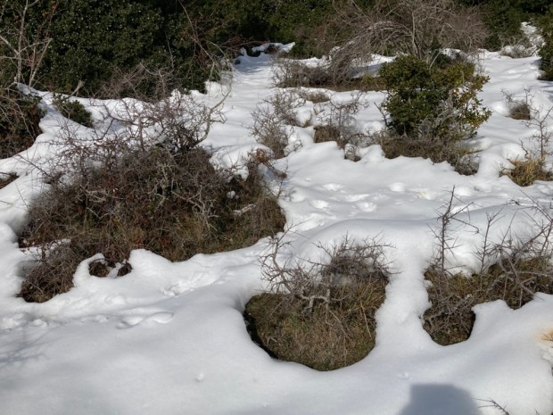
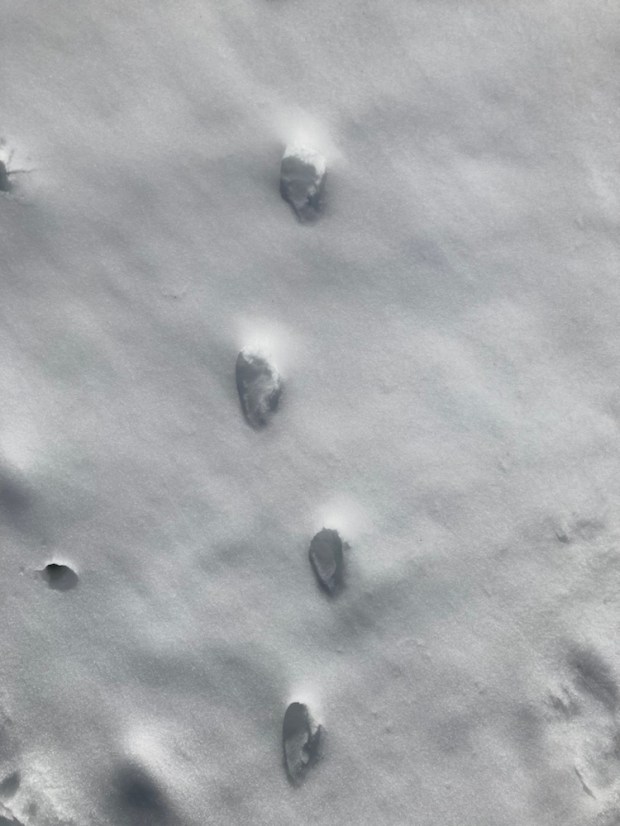
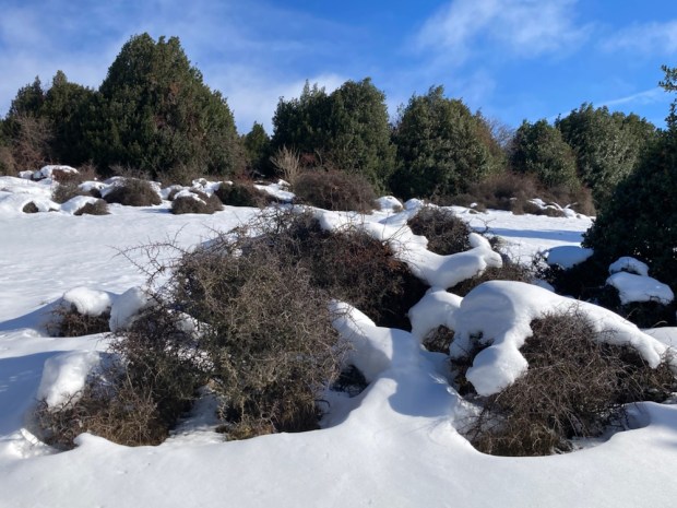
We left the main path to follow little wooden markers half buried in the virgin snow. Not quite pristine as animal prints too vague to identify crisscrossed our route. Could be fox, deer, boar, rabbit, hare, shrew, mouse, hedgehog, badger or weasel. Snow hung in pillows on the trees and formed sensual mounds over scrubs.

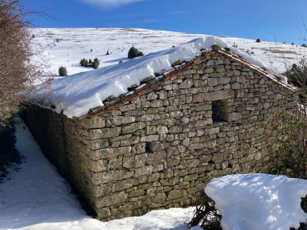
We reached a lovely little circular shepherds hut finely built of stone with a corbeled roof in Celtic style. The nomadic lifestyle of transhumance was practised until quite recently with livestock being moved to these high grounds in the summer and down to Andalucia or Extremadora in the harsh winters. This hut was built in the 1930’s. The style relates to the fact that this area was the cultural stronghold of the Celtiberians for the last few centuries BC until the destruction by the Romans of nearby Numancia after a desperate 8 month siege in 133BC.

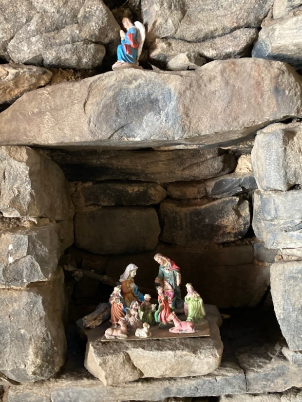
Inside someone had placed a little Christian grotto in an alcove.
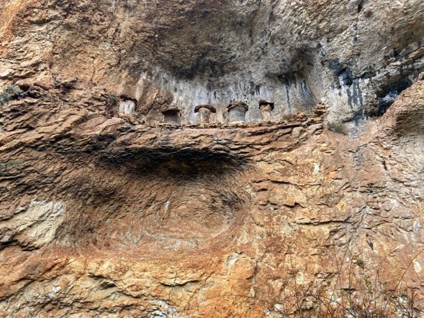
Our path now swung up and around the mountain, returning towards our starting point near a large stone barn and fuente. Here was one of the few areas we could get inside the trees to admire their shade and shelter.
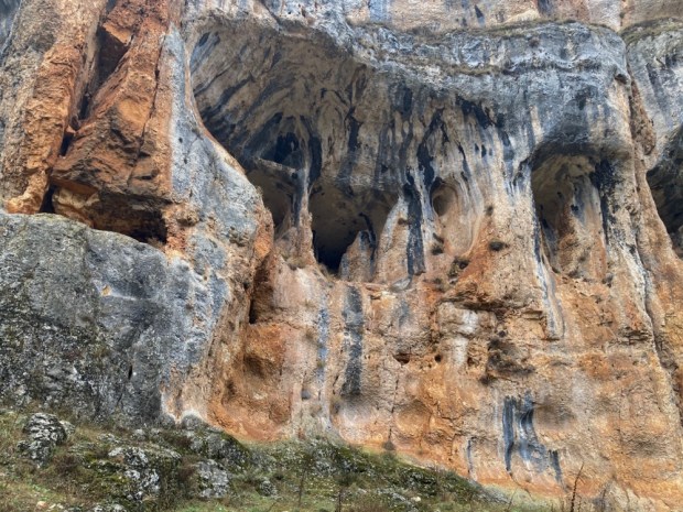
And so back to the camper under the watchful eyes of the vultures hoping perhaps for a fatal fall.

Onwards.