It was a bit of a journey just getting to the start of my last journey on the GR249. Getting to Benalauria where we had left off last October involved a late train from Malaga to Antequera Santa Ana, which is in the middle of nowhere miles from Antequera. This big ultra modern station was thought to be a huge white elephant when it was built but since the new high speed lines have made it a major junction.
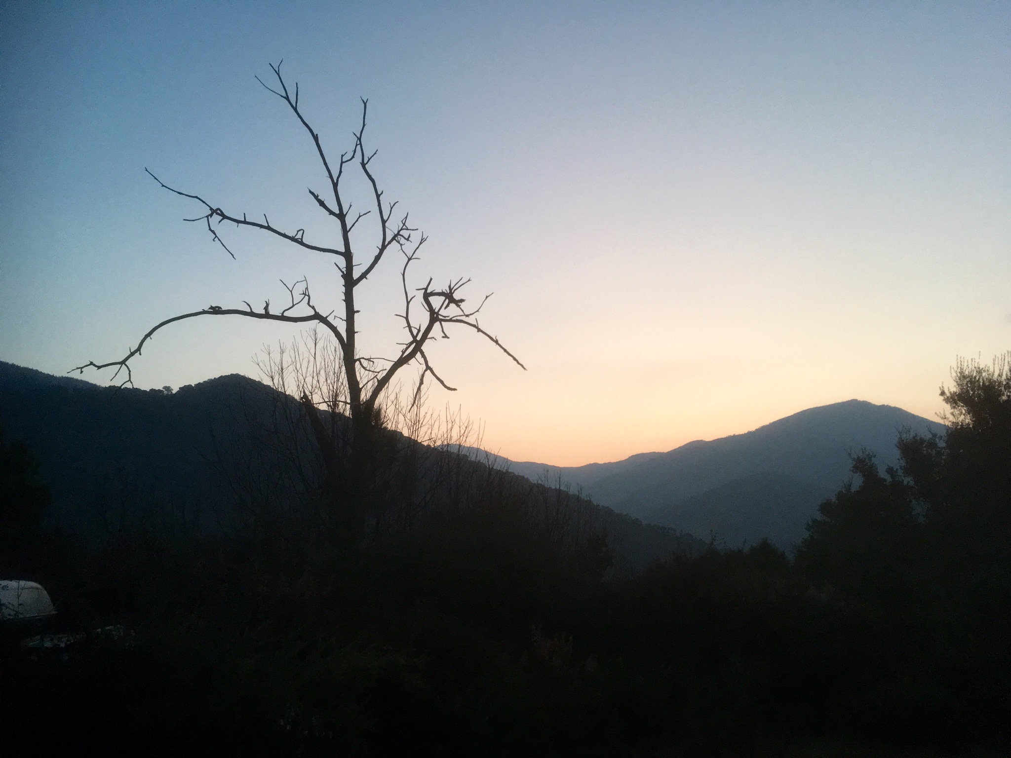
My connection didn’t leave till the morning and with nothing in the surrounding area and the building closing at night it was a rather cold night in my sleeping bag around the back. The day dawned very misty.

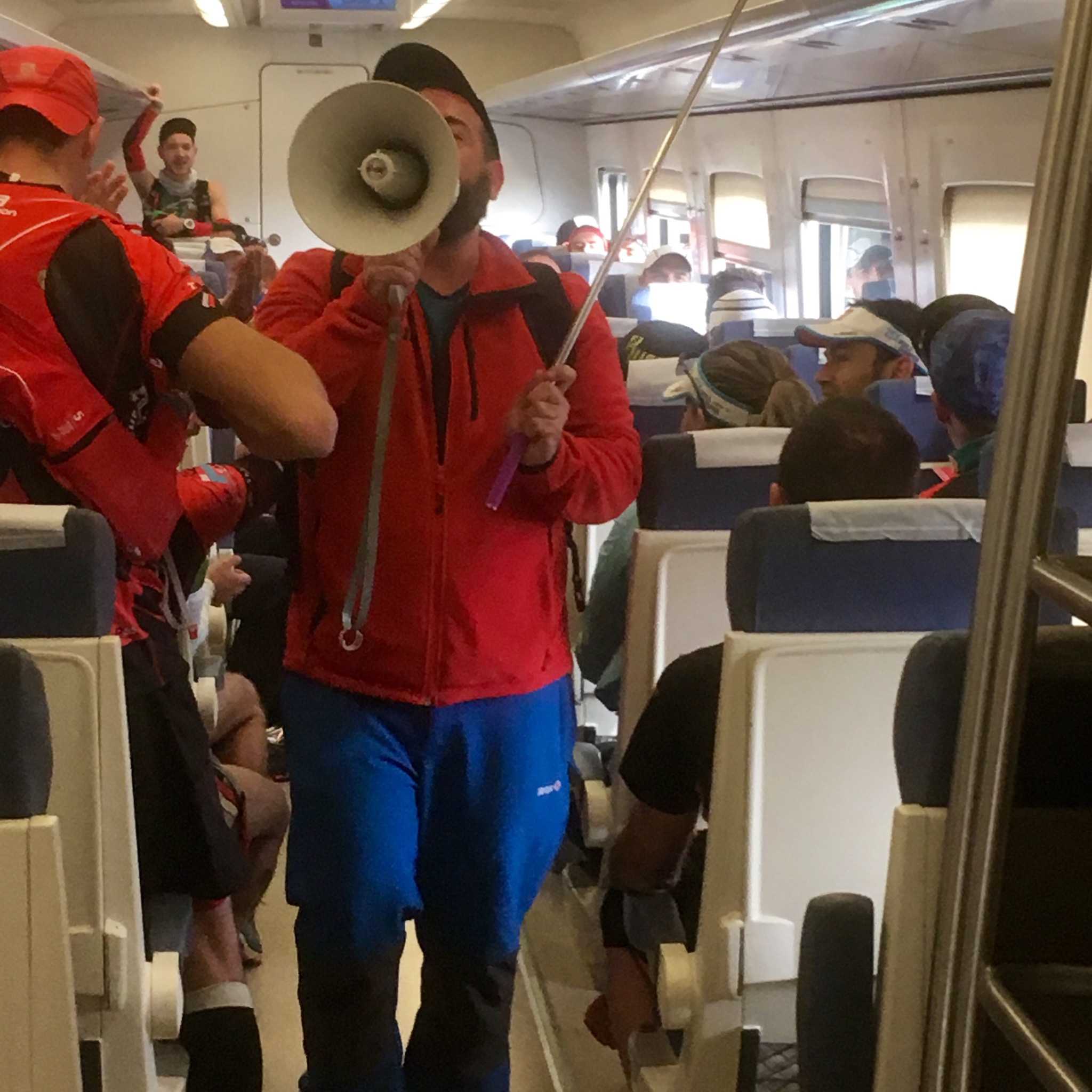
The sun slowly burnt it’s way through on the journey to Cortes de la Frontera and I was joined on route by a crowd of runners who set off from the station after being cranked up by the MC.


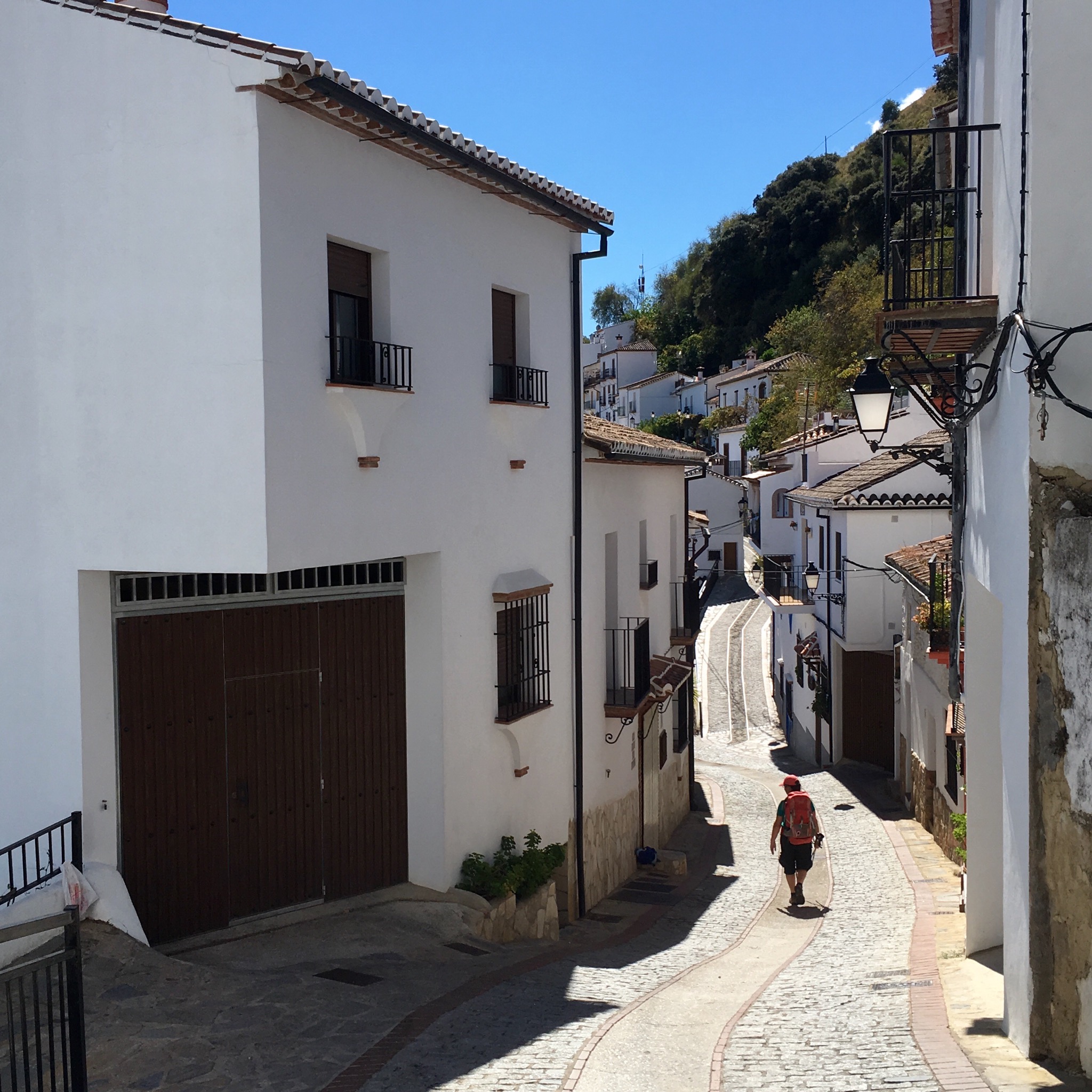
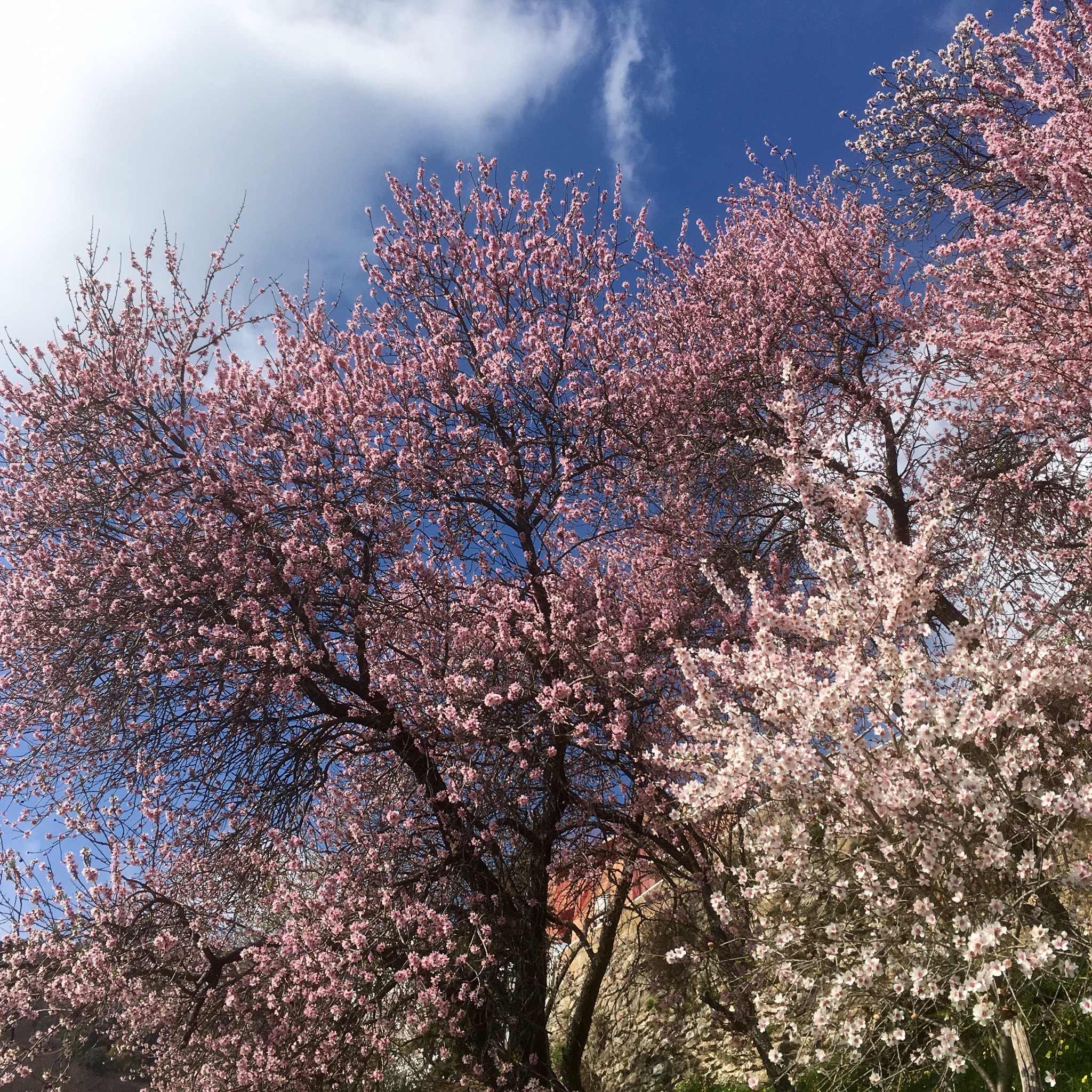
No taxi available early on a Sunday morning so I reluctantly set off on a steep 10km hike. Lady Luck sent me a young man who picked me up and set me down just outside Benalauria where, after a cafe with the publican who taught us how to make a whistle from an acorn cup back in Oct, I was on my way down out of the village among the almond blossom and chestnuts on a sharp descent to the valley bottom.

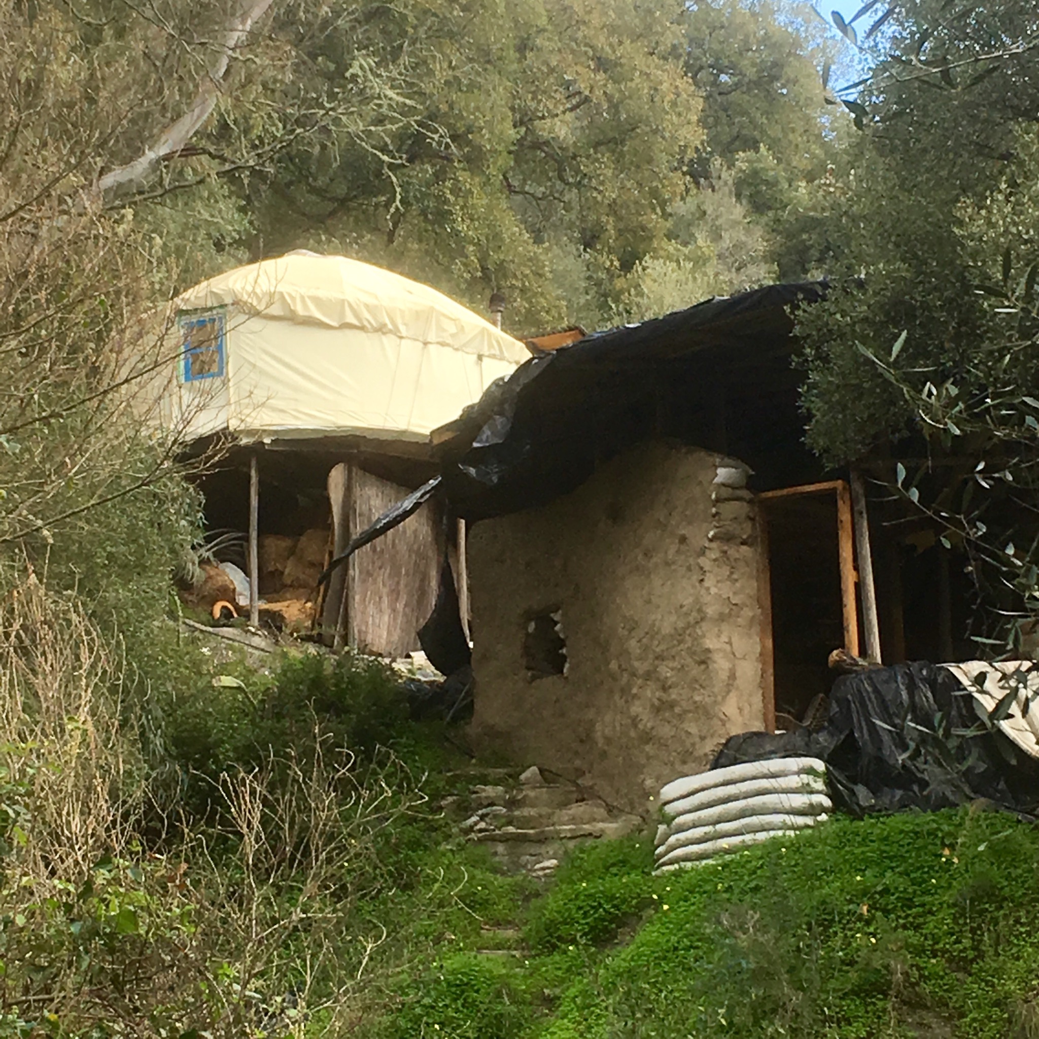
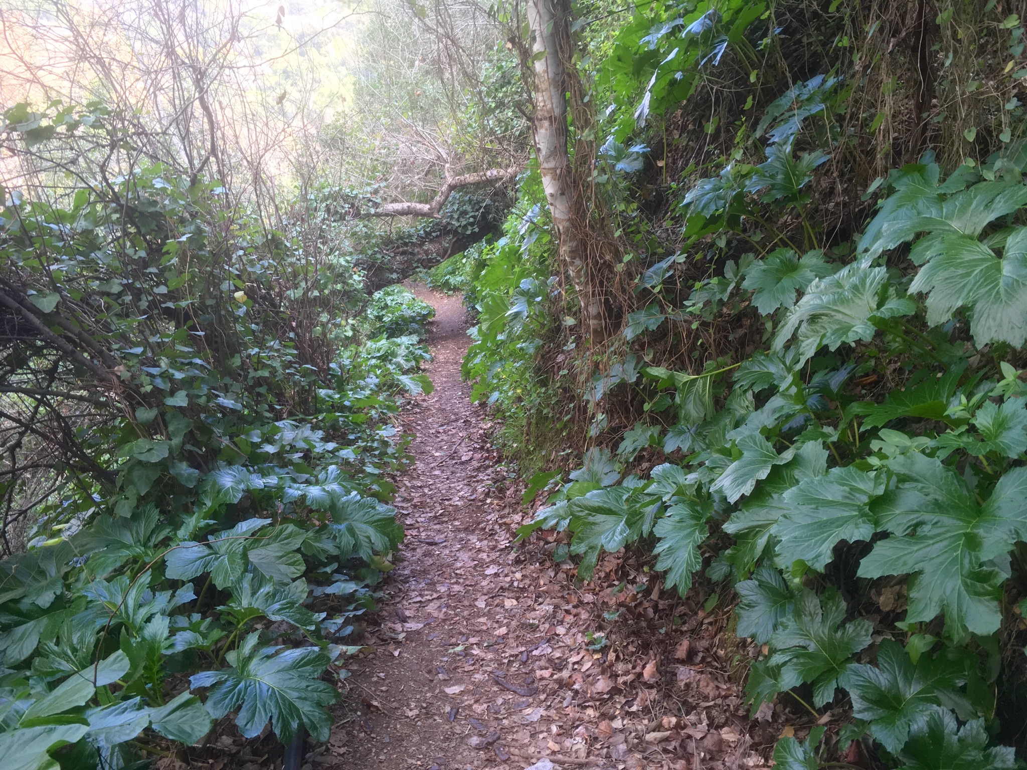
On reaching the waters the vegetation got lush, with moist and fertile gardens lining the track and thick clumps of rush and canna. Yurts and other “alternative” structures were tucked away here and there alongside the traditional campo cottages.

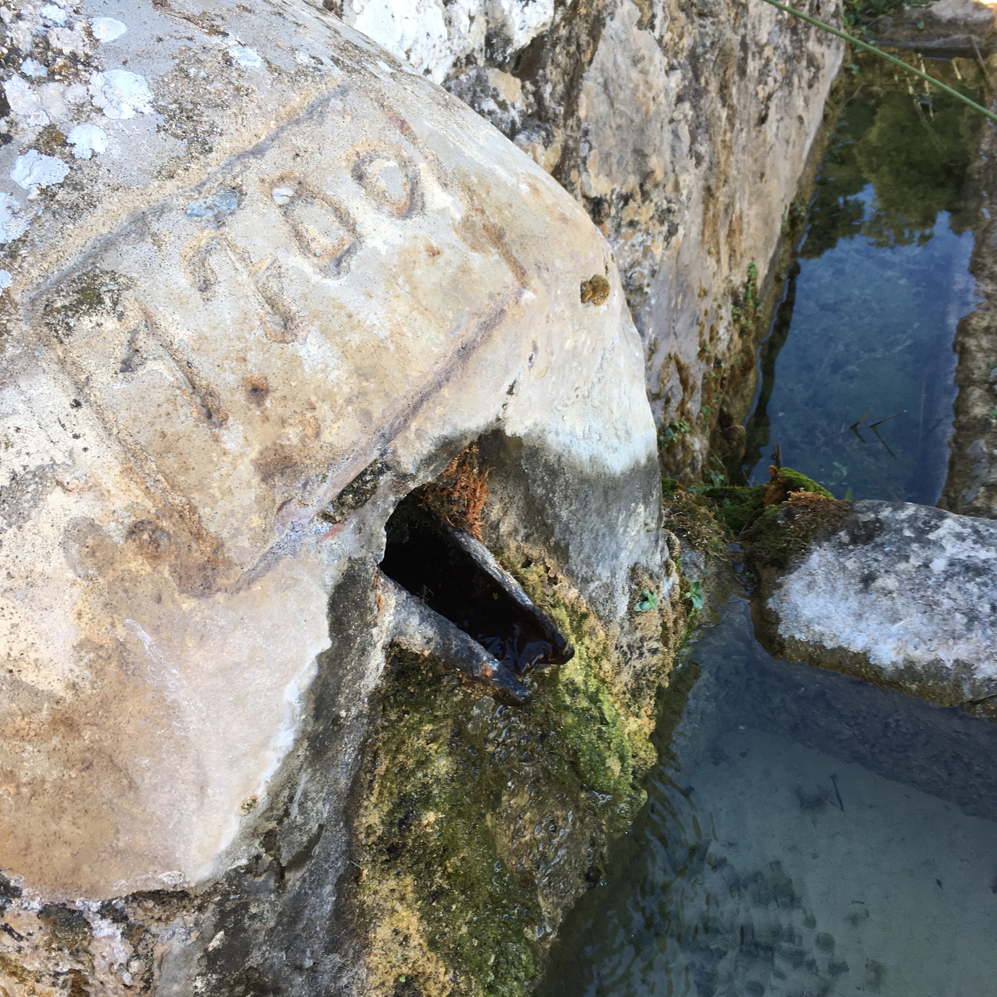
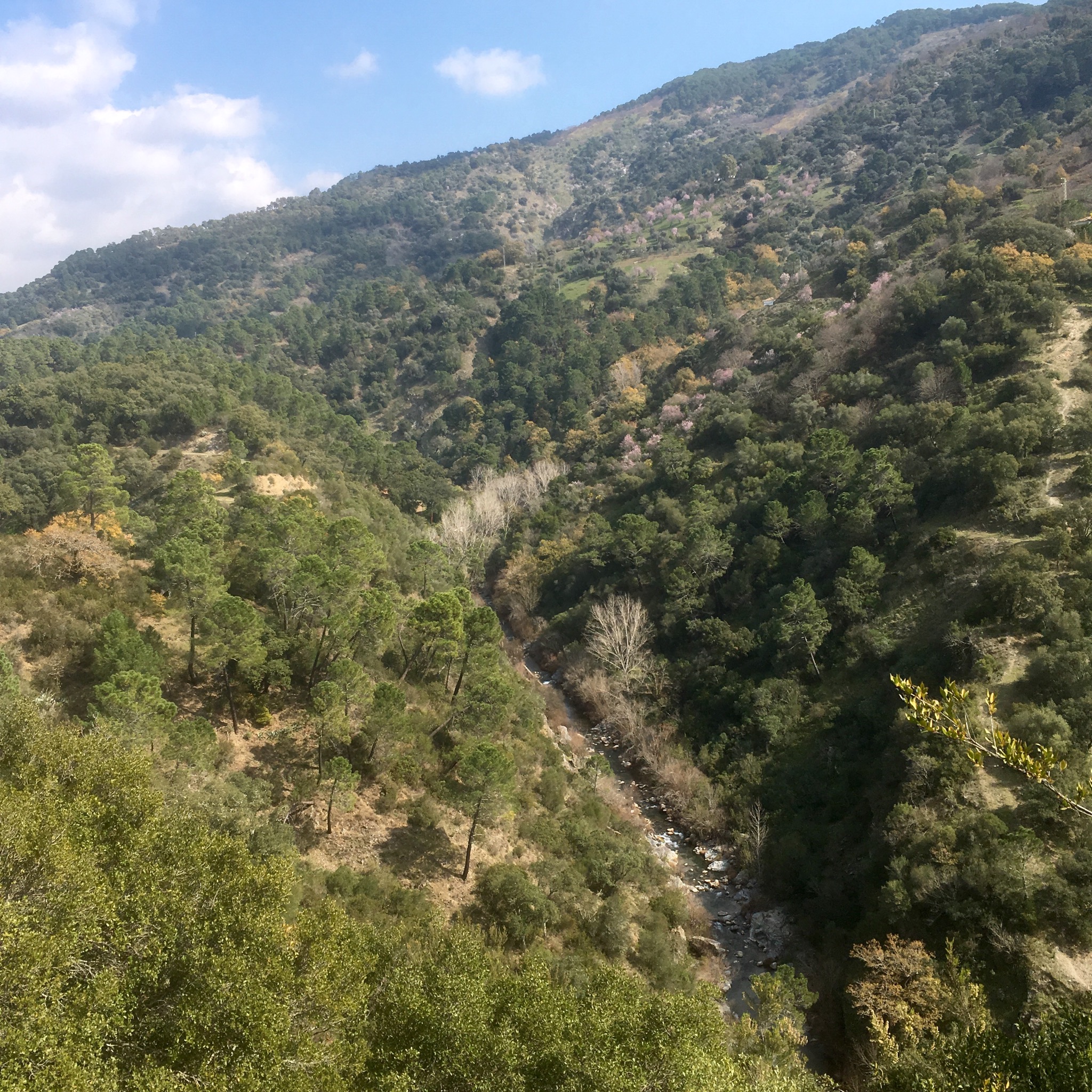
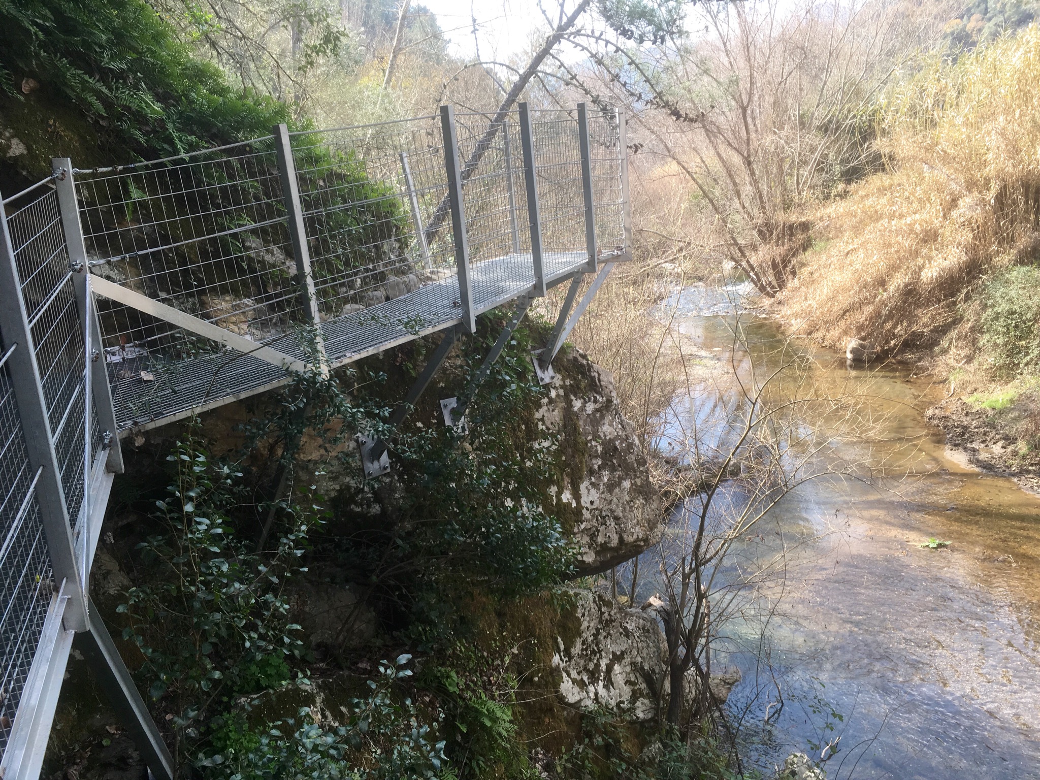
The river Genal etches a deep line for miles through this region not reaching the sea until it leaves the province and enters Cadiz. My route coincided with local walks along the river on specially constructed walkways through the verdant growth.
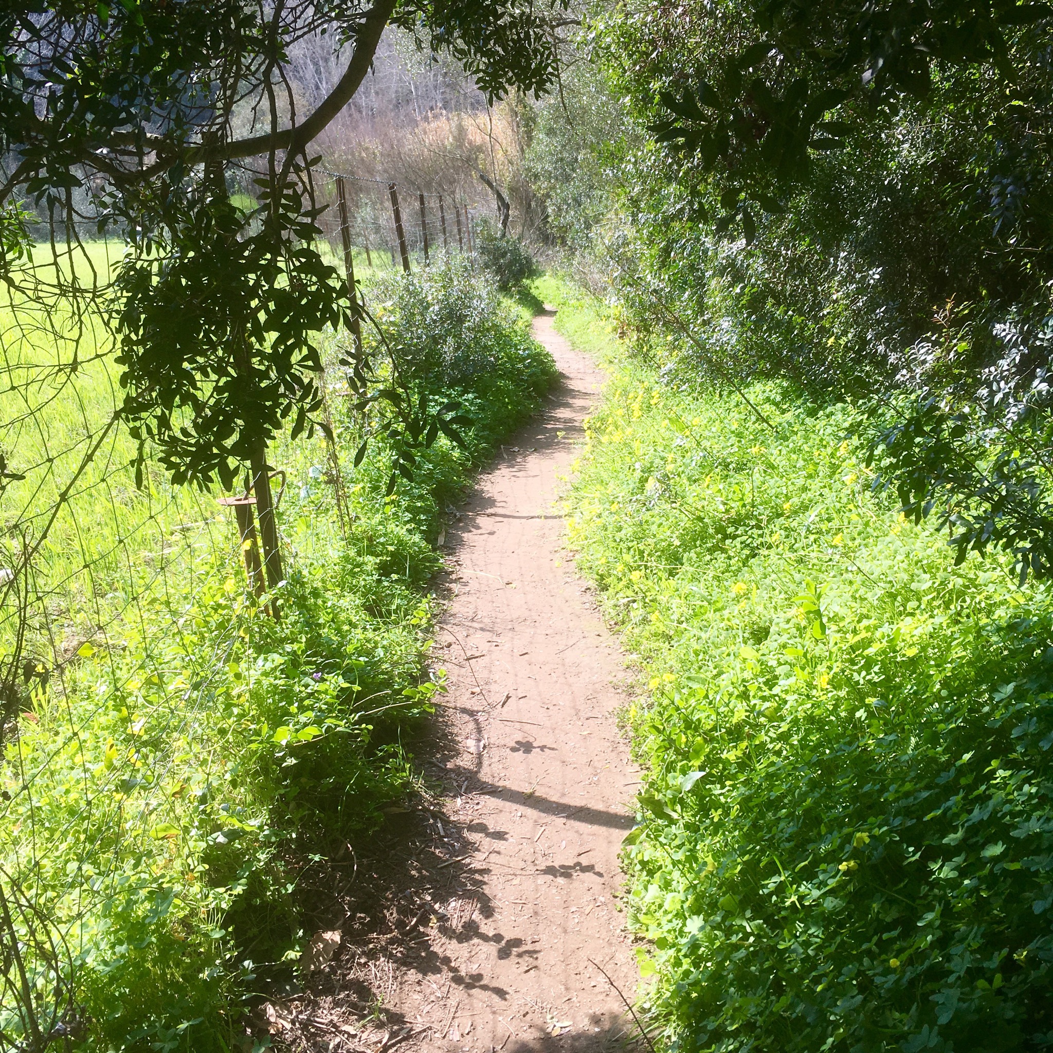


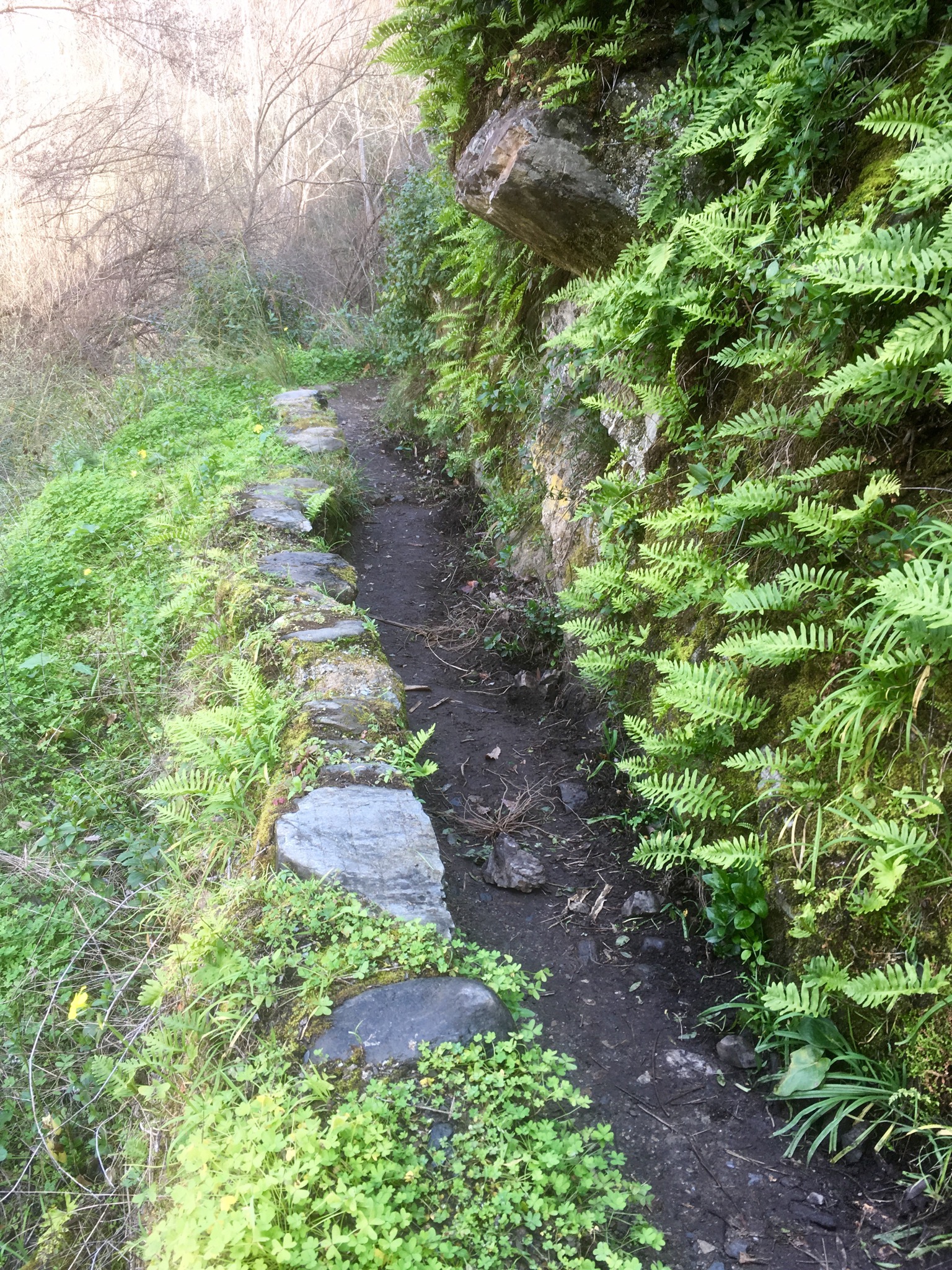

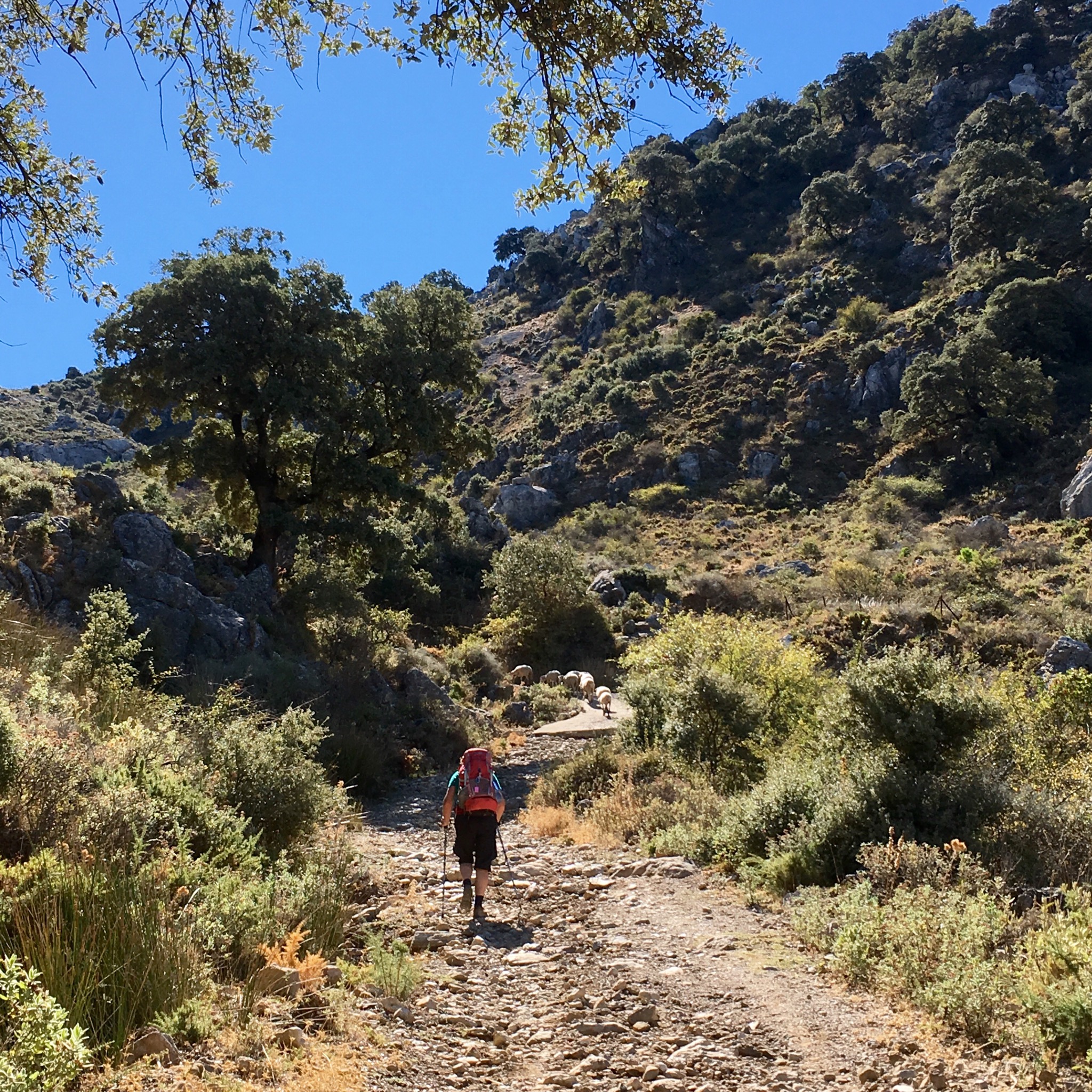
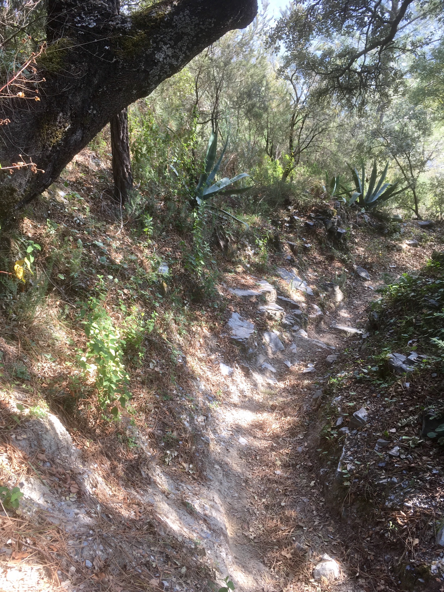
It being a Sunday there were a good few walkers on the track and as I left the river and started up a steep and narrow path I had to stand aside for a seeming never ending stream for awhile. I begrudge them not, it was great to see the trails used as sometimes it seems like I’m the only one on them.
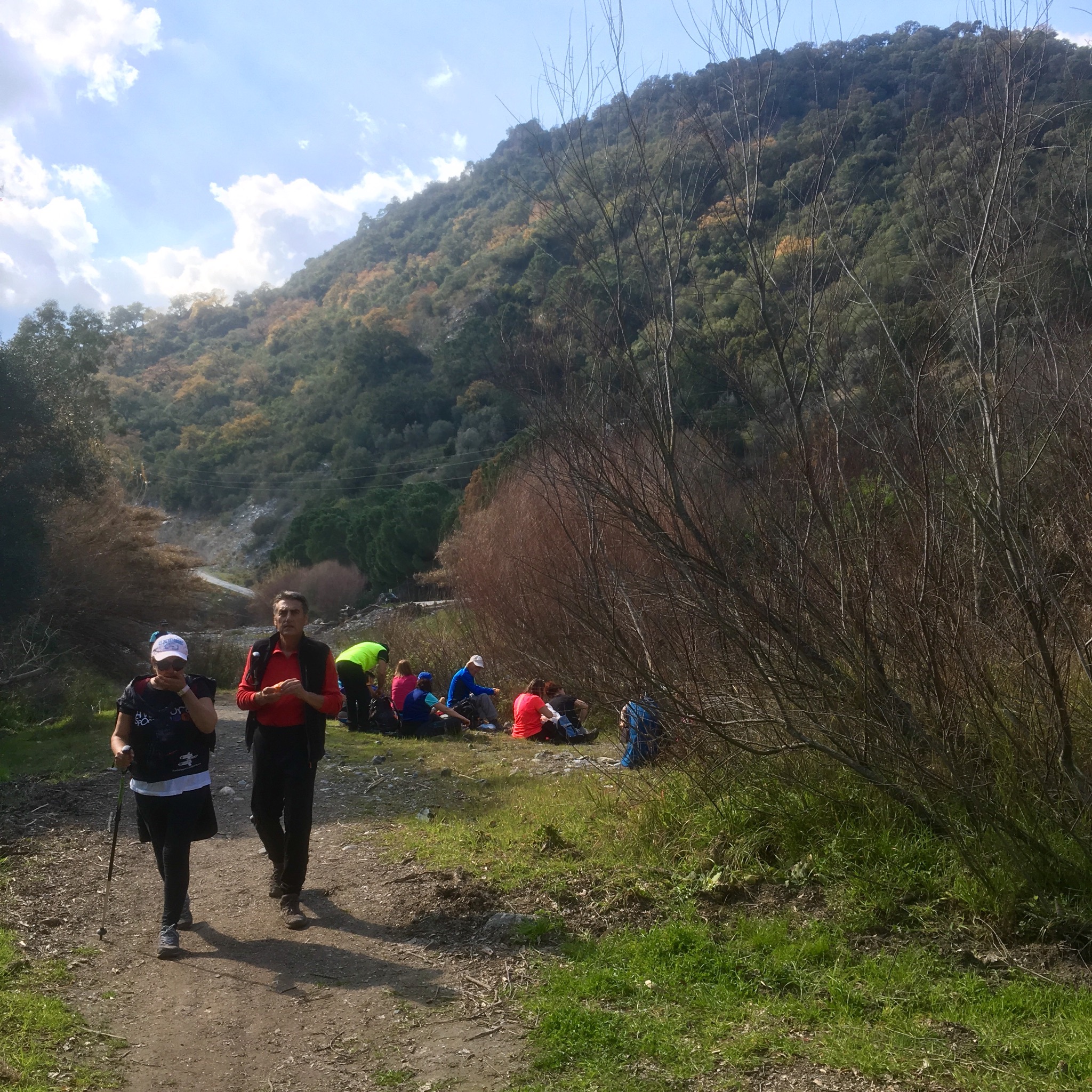
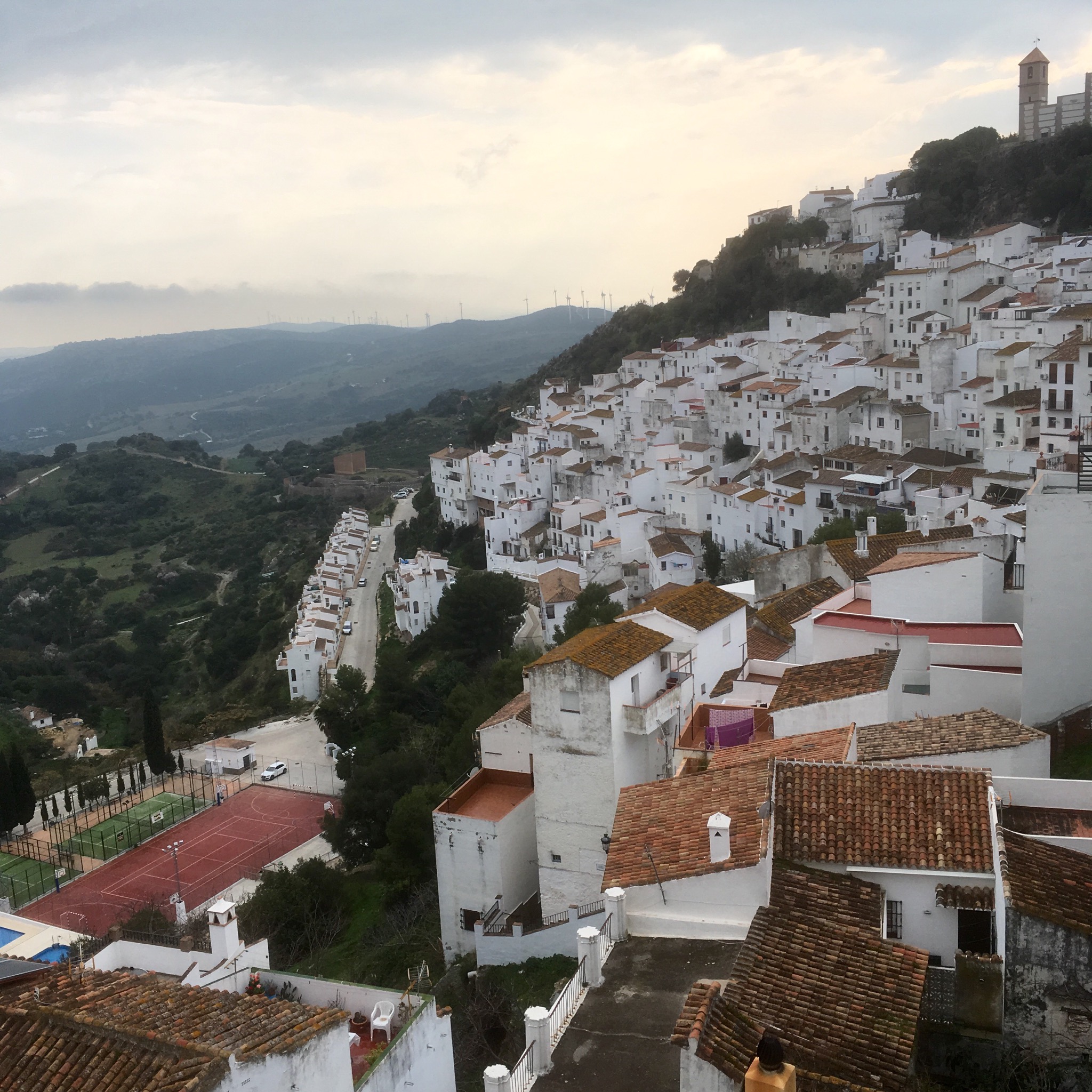
At long last after a 500m ascent I spied the town of Genalguacil, since 94 the home to visiting artists on residences to create and leave a piece of work. I didn’t have time wander around looking for them as I needed to push on and find a camp.


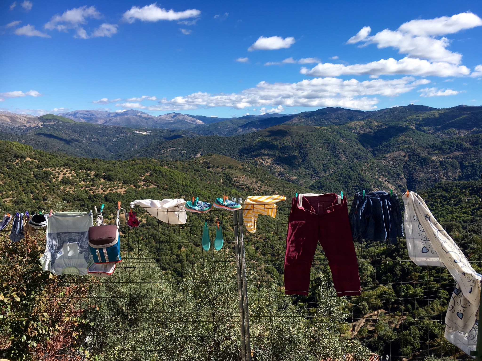
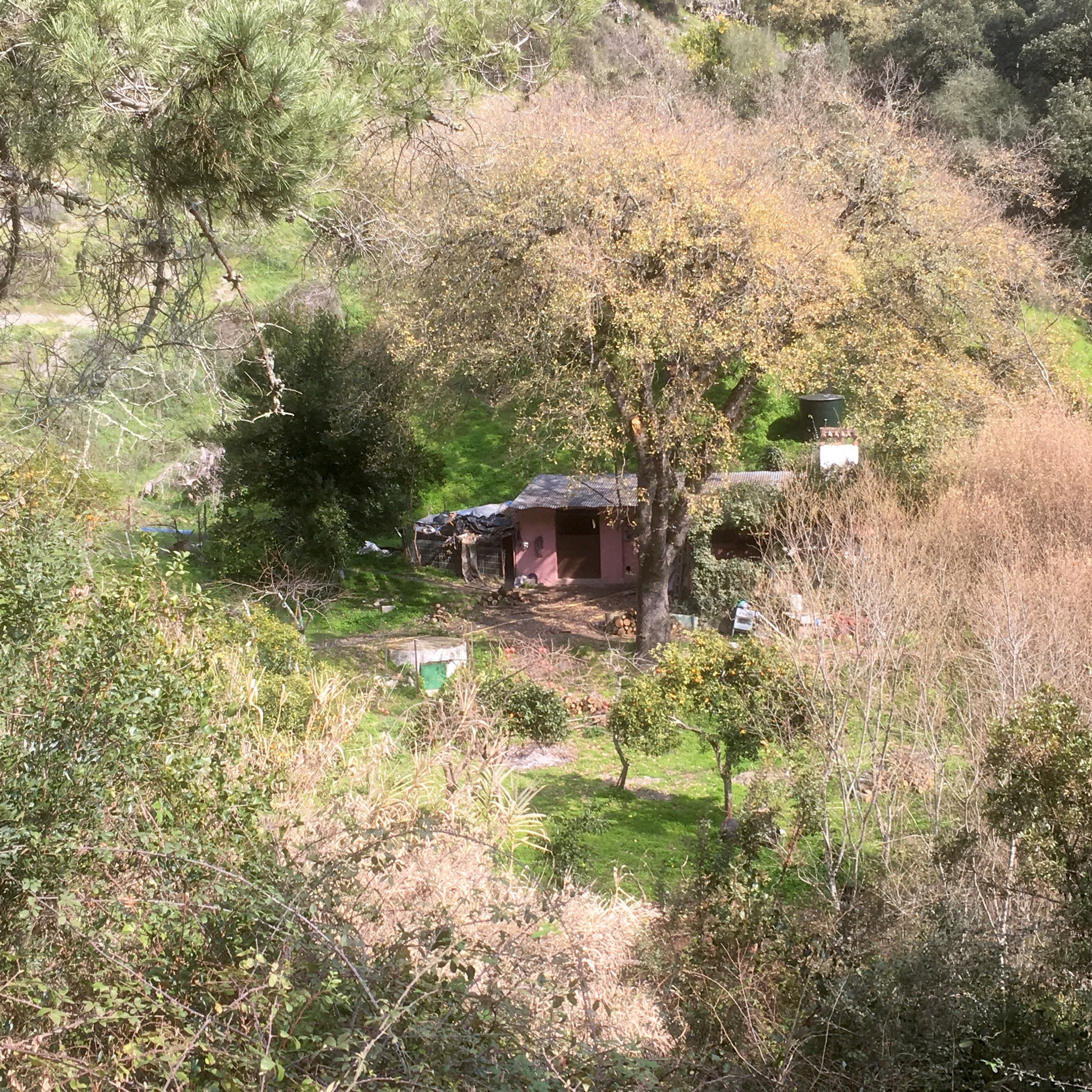
Which I luckily did a few km on. An unoccupied goat shed would protect me from the forecast rain better than my tent. The place seemed to be someone’s abandoned dream with an old foreign car and dilapidated caravan engulfed in briars.


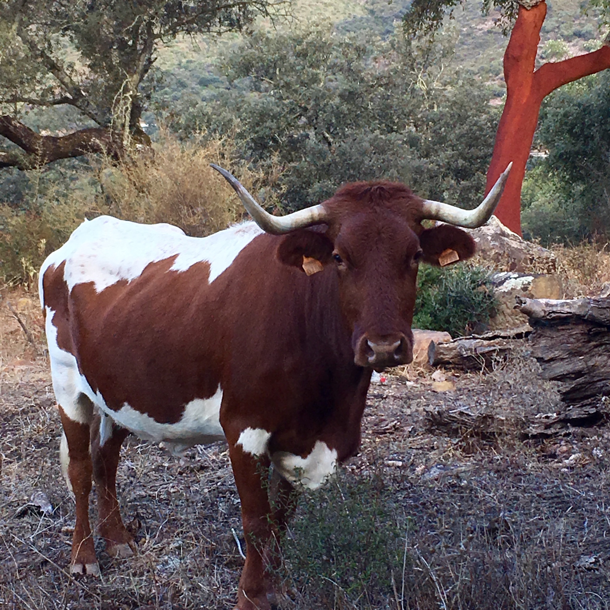
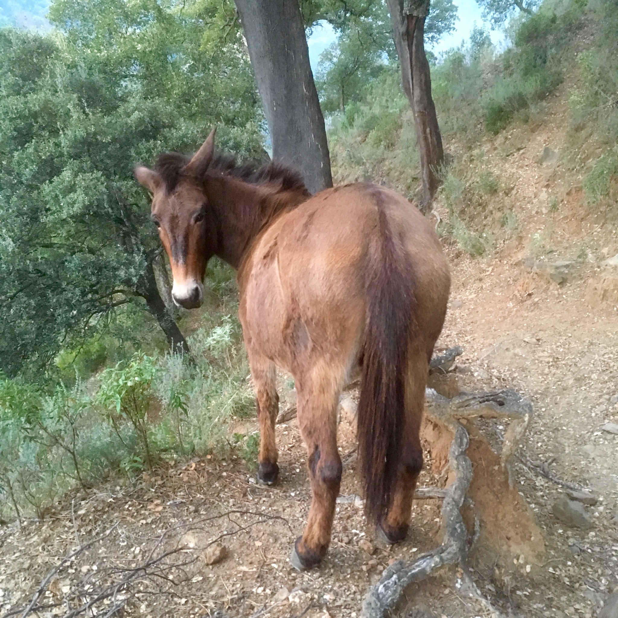
No rain, no goats in the night and the morning sky was clear. I had heard a horse at some point and I met him on the trail down to the river that was forded easily.
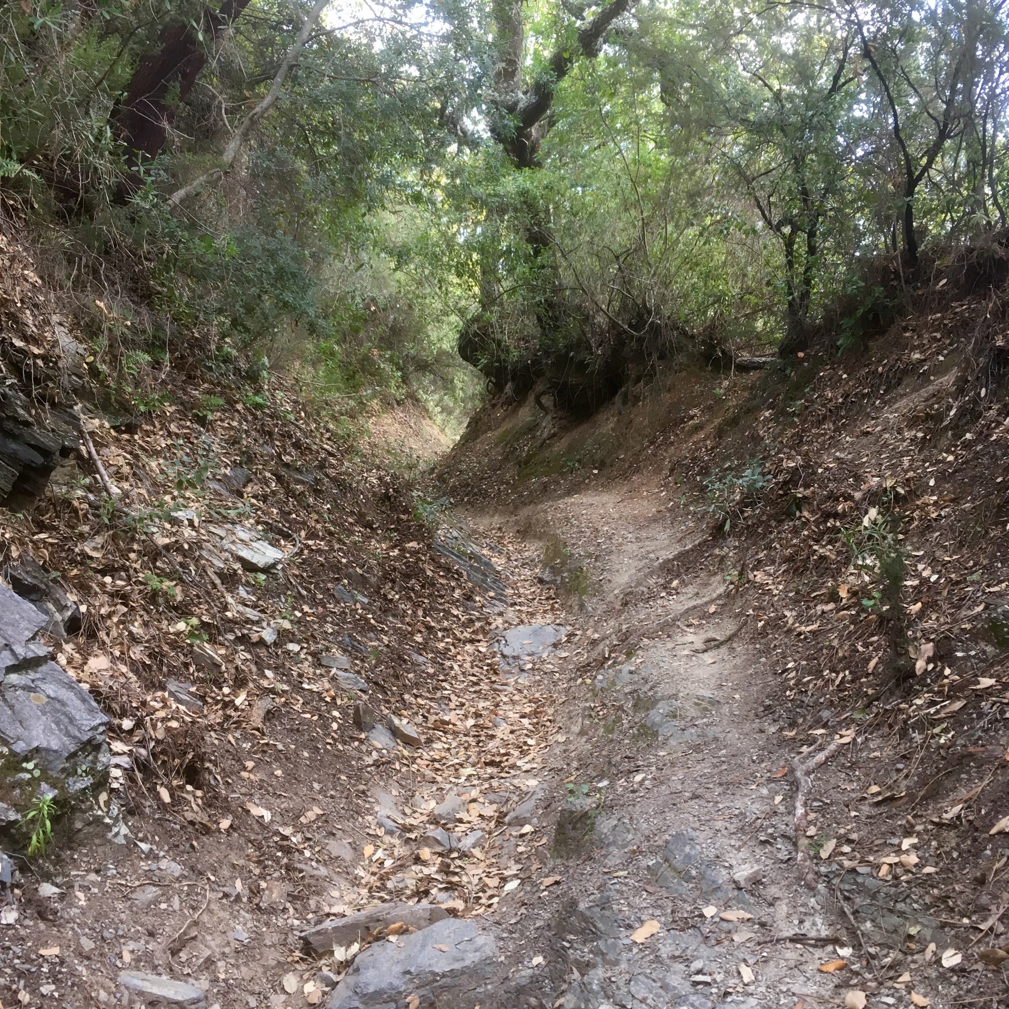
Up again and then along a level track giving views through the trees of Benalauria and Genalguacil.


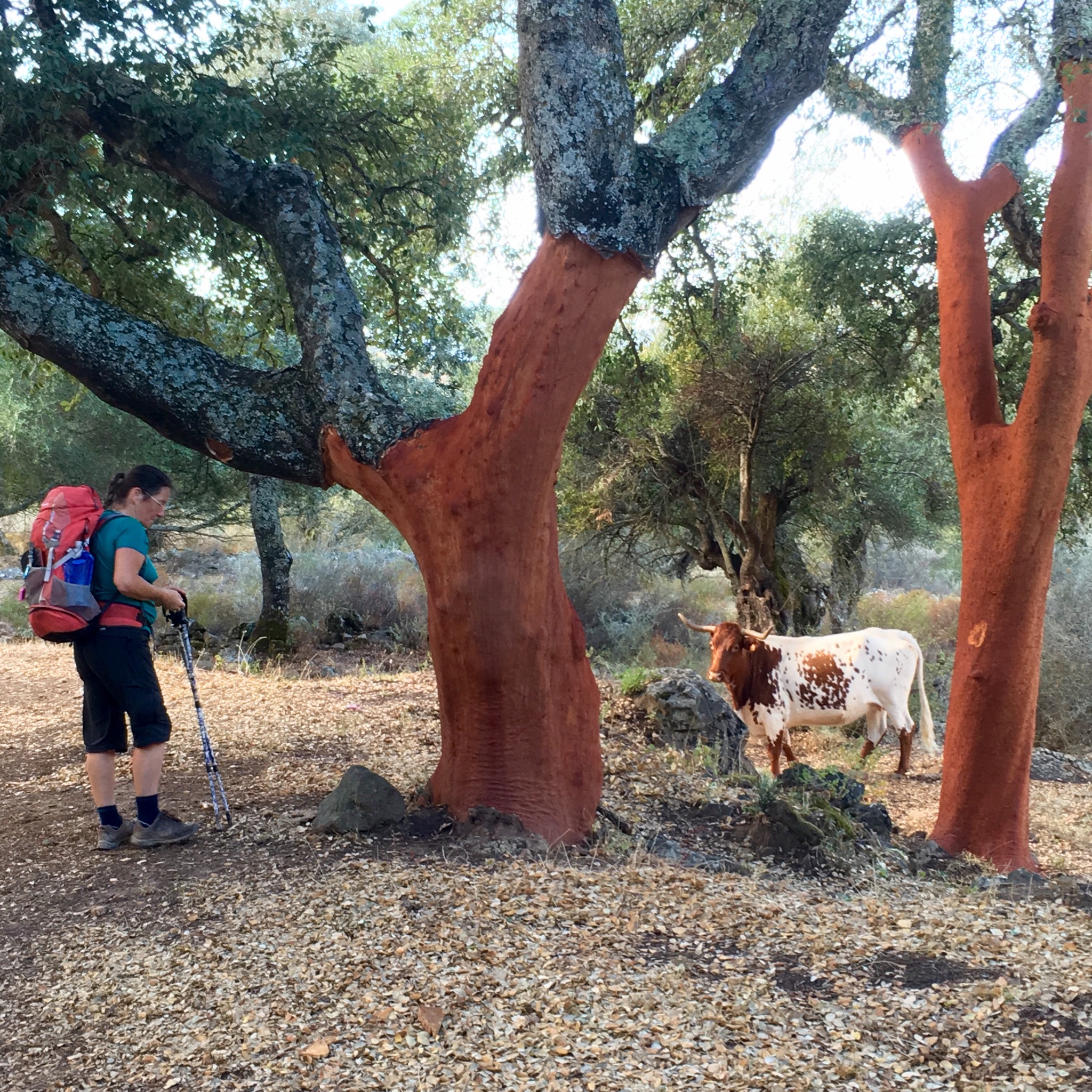
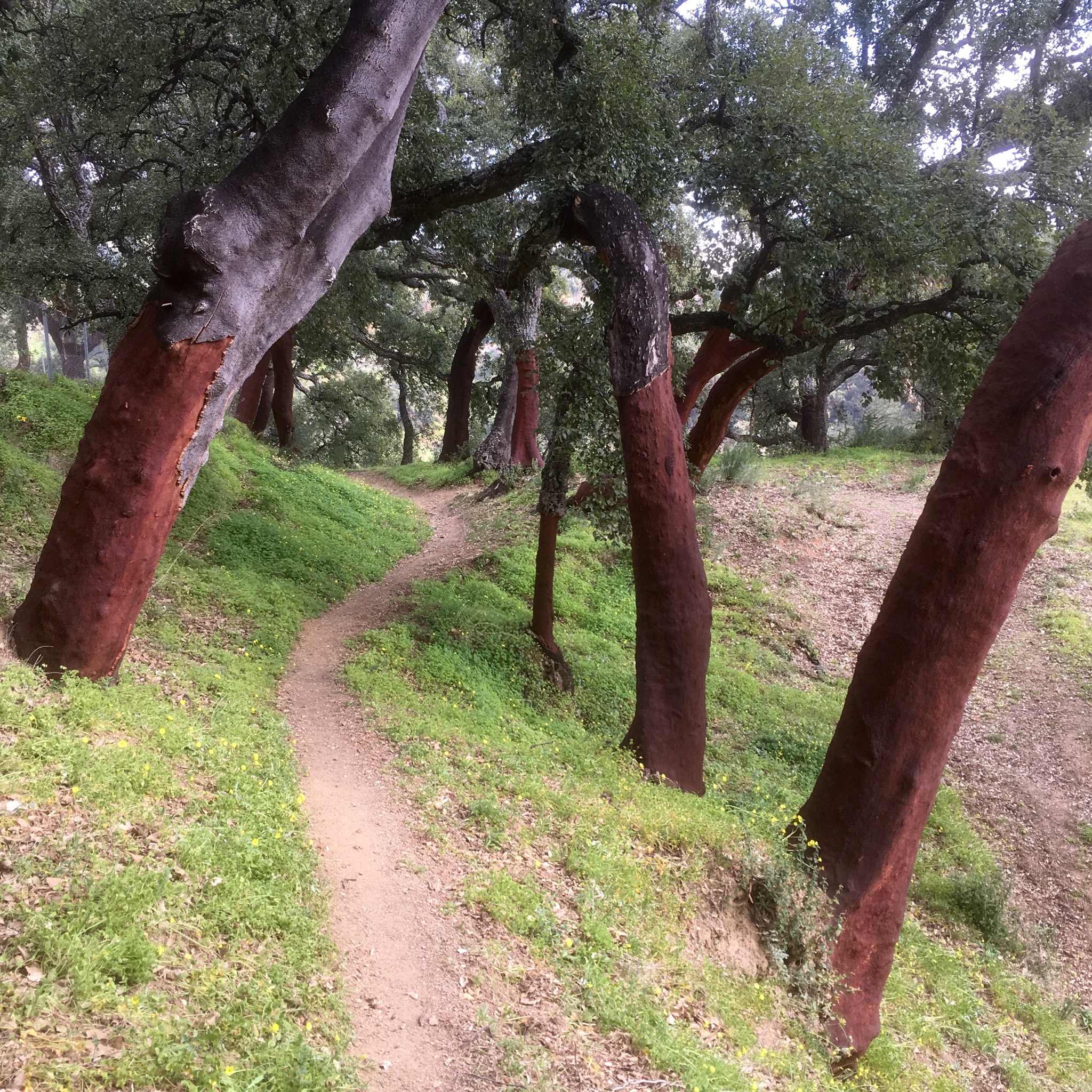
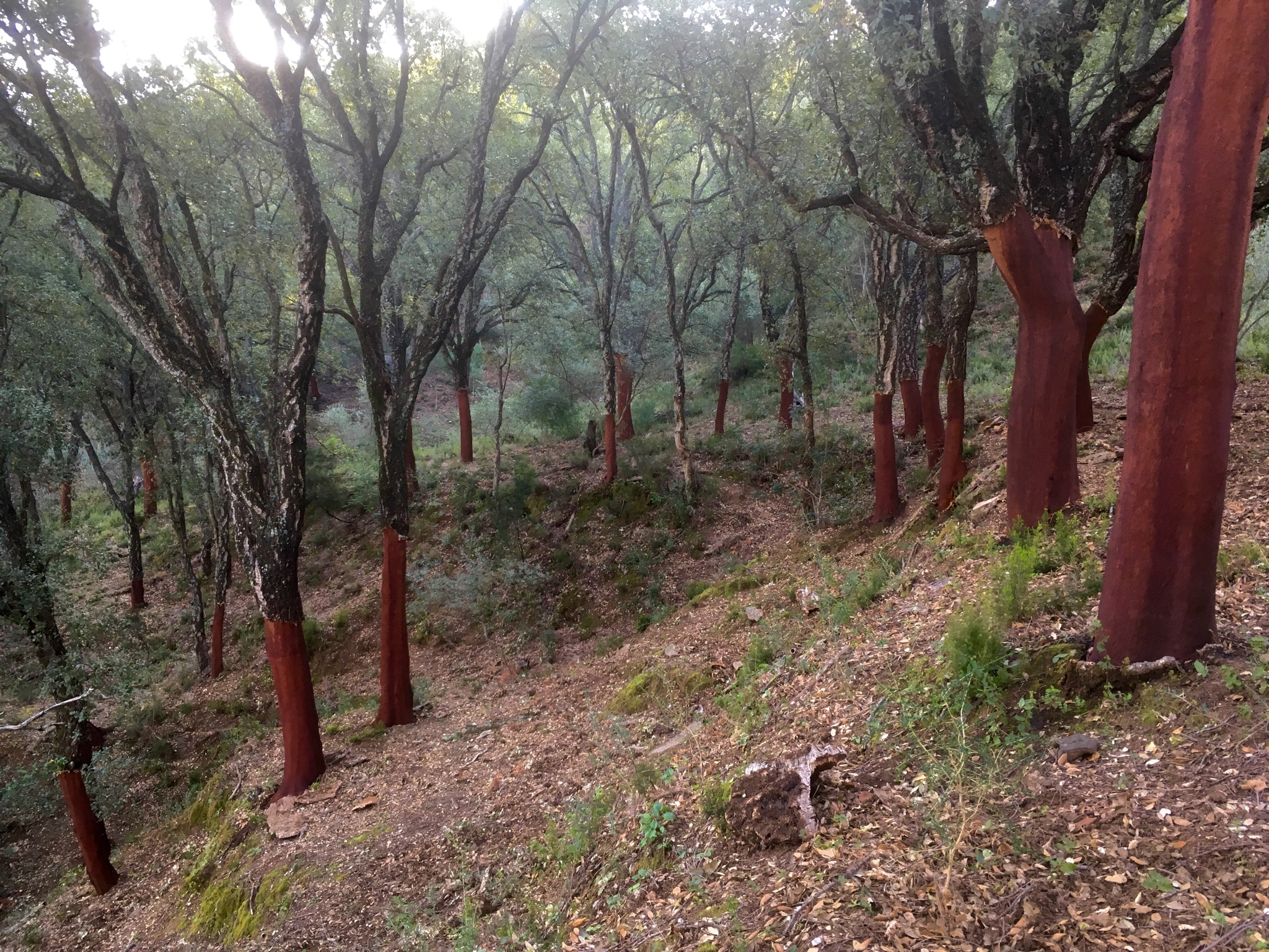
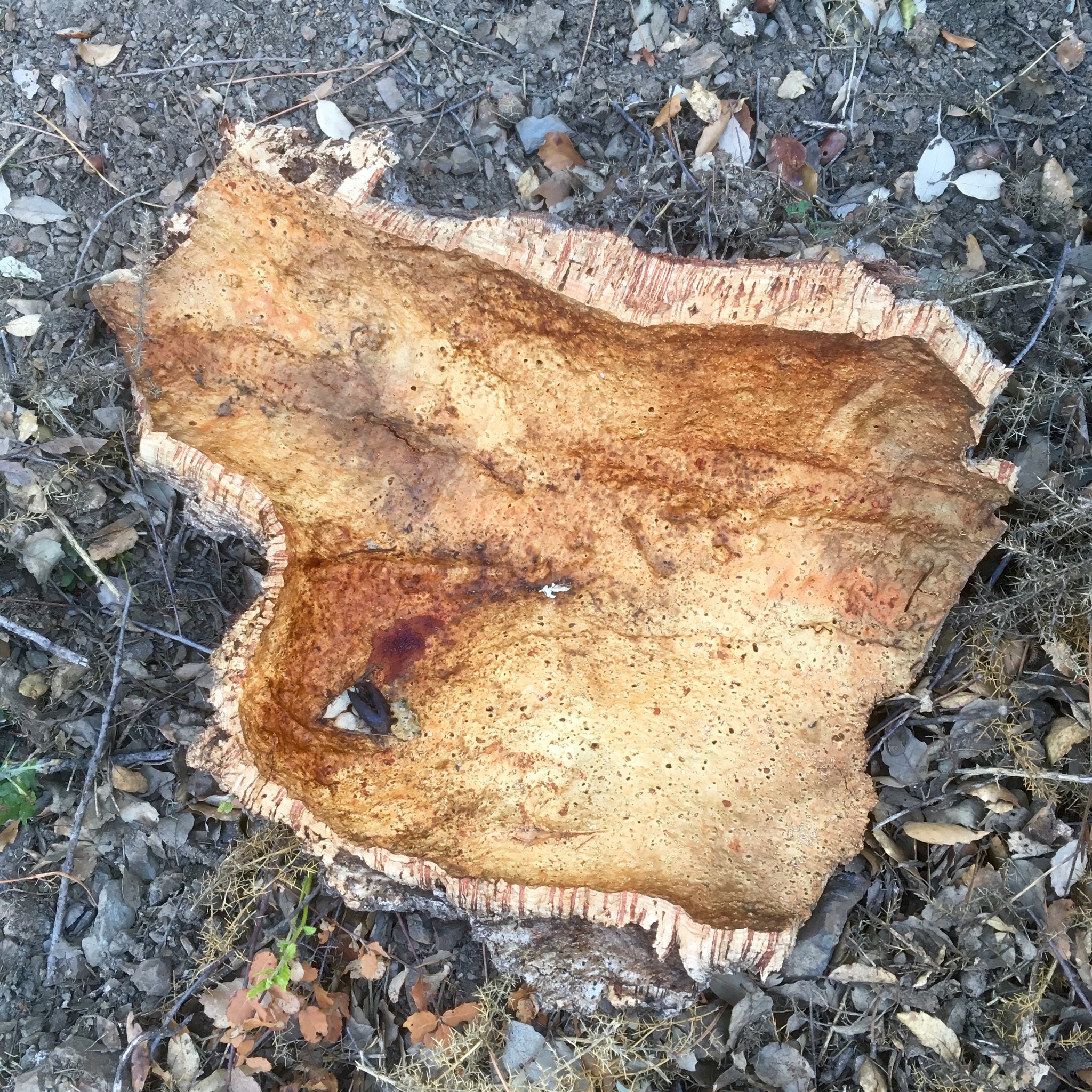
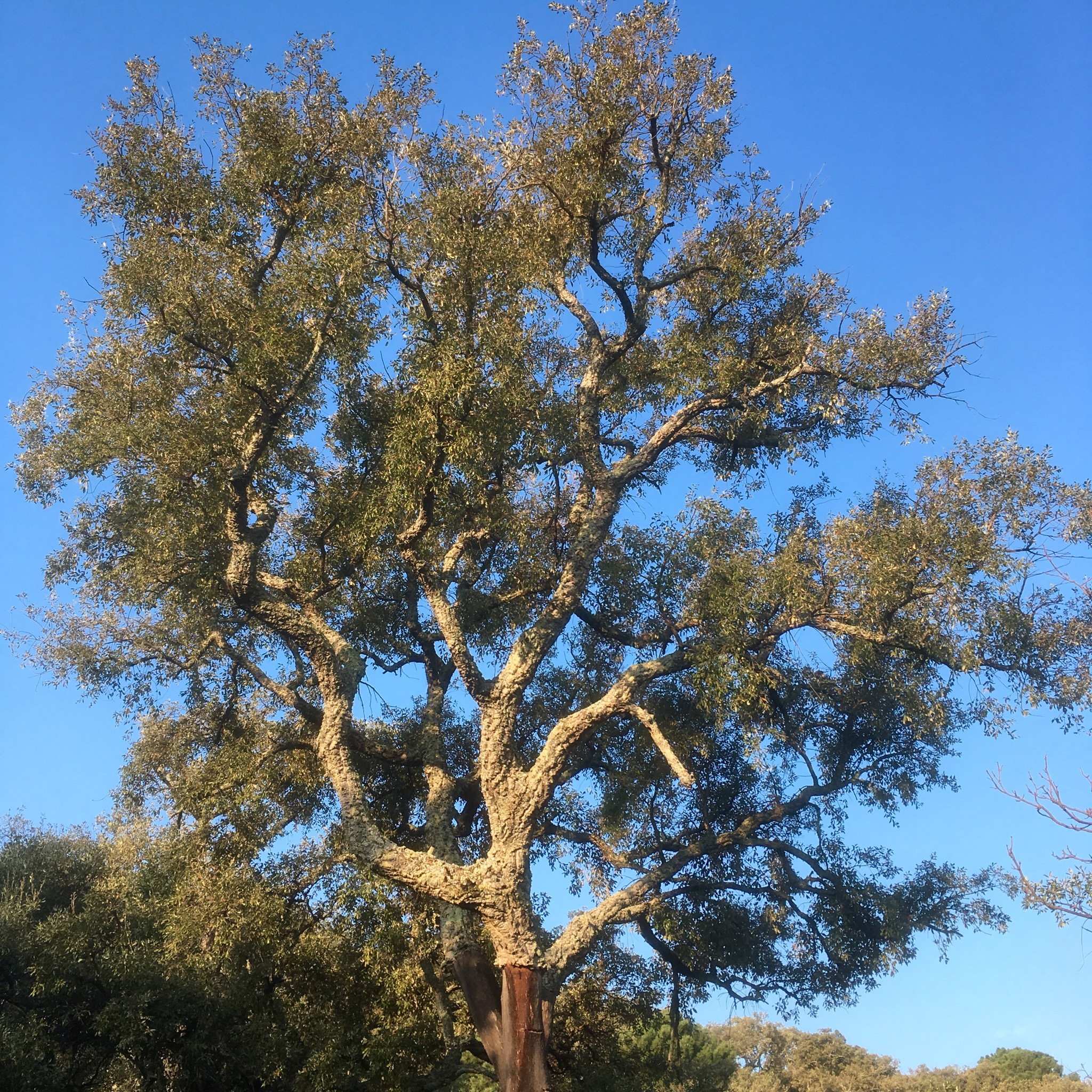
The cork harvesters had been out in this neck of the woods and I was hoping to come across them to see them in action but the only workers I found were wheedling chainsaws.
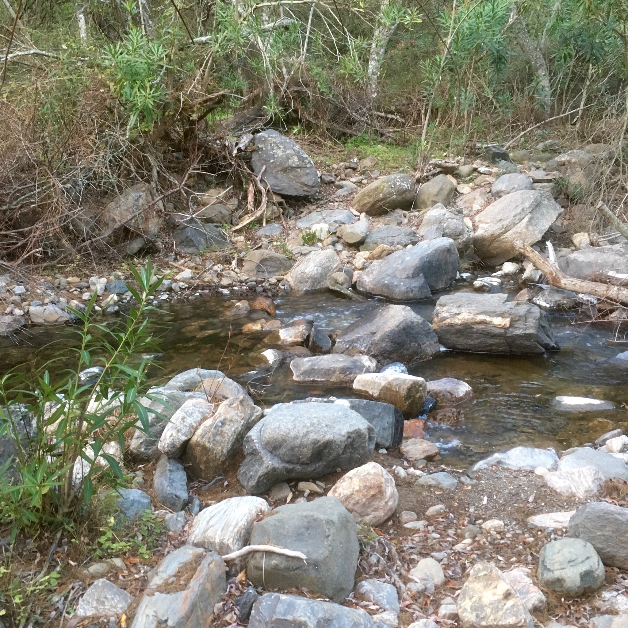
Down again for 250m on a rough track to cross another river, this time dry, although I could hear the Genal gurgling not far away.

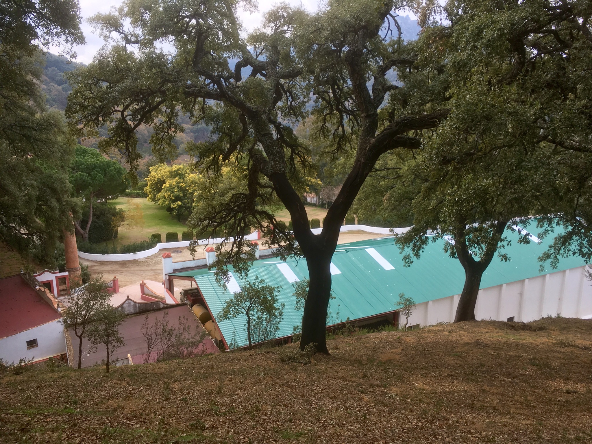
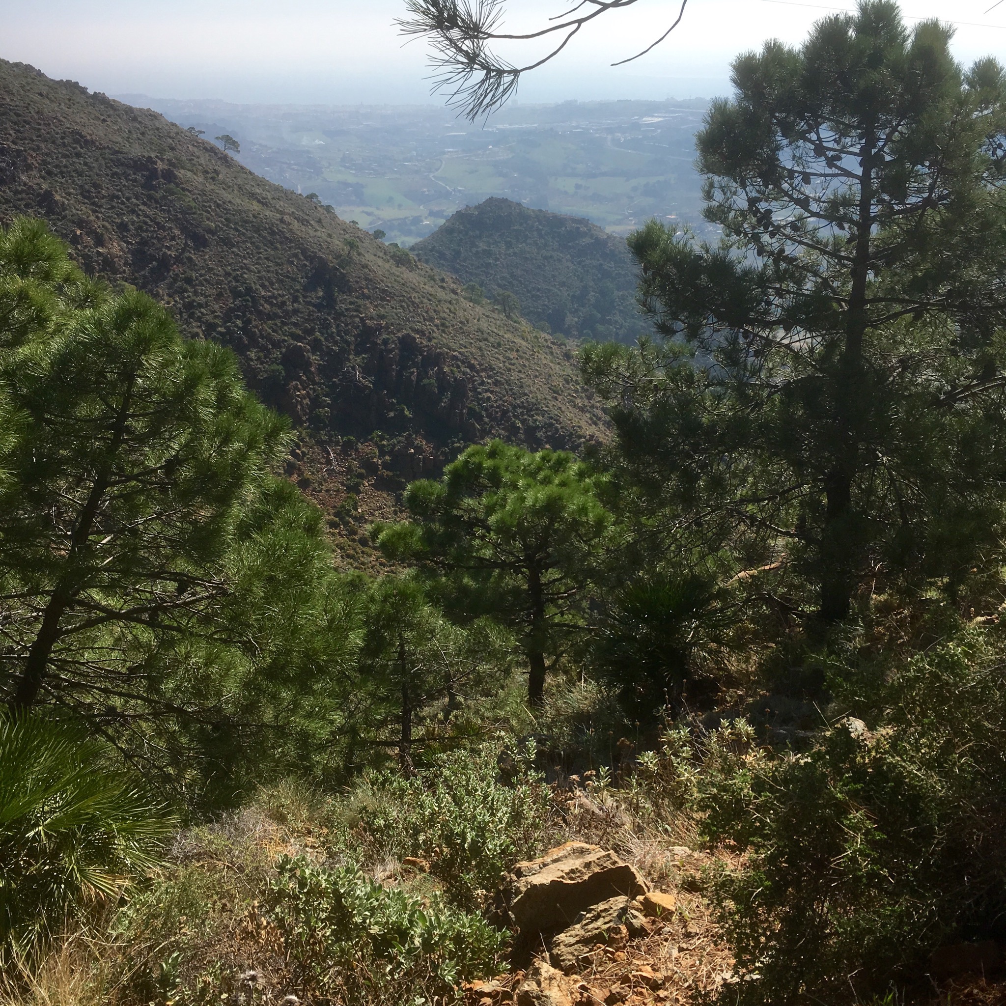
And so began yet another long 600m haul up through the woods. I climbed into a fire lookout tower to lookout for fires, it must be a lonely job. This was all part of a huge (really huge) hunting estate, and at the top of the climb I came upon a great estate with liveried workers driving about in liveried jeeps. The place was impressive but the massive gates closed on my approach.


Another slight( comparatively ) rise and I was finally on the way down into Casares where I was delighted to see on a signboard that the next day’s stage had been changed to reduce it from 33km to 24km. Good news. This meant I didn’t have to carry on for another long haul in order to shorten the next day. It meant I could eat, shower and sleep in a bed. Luxury.


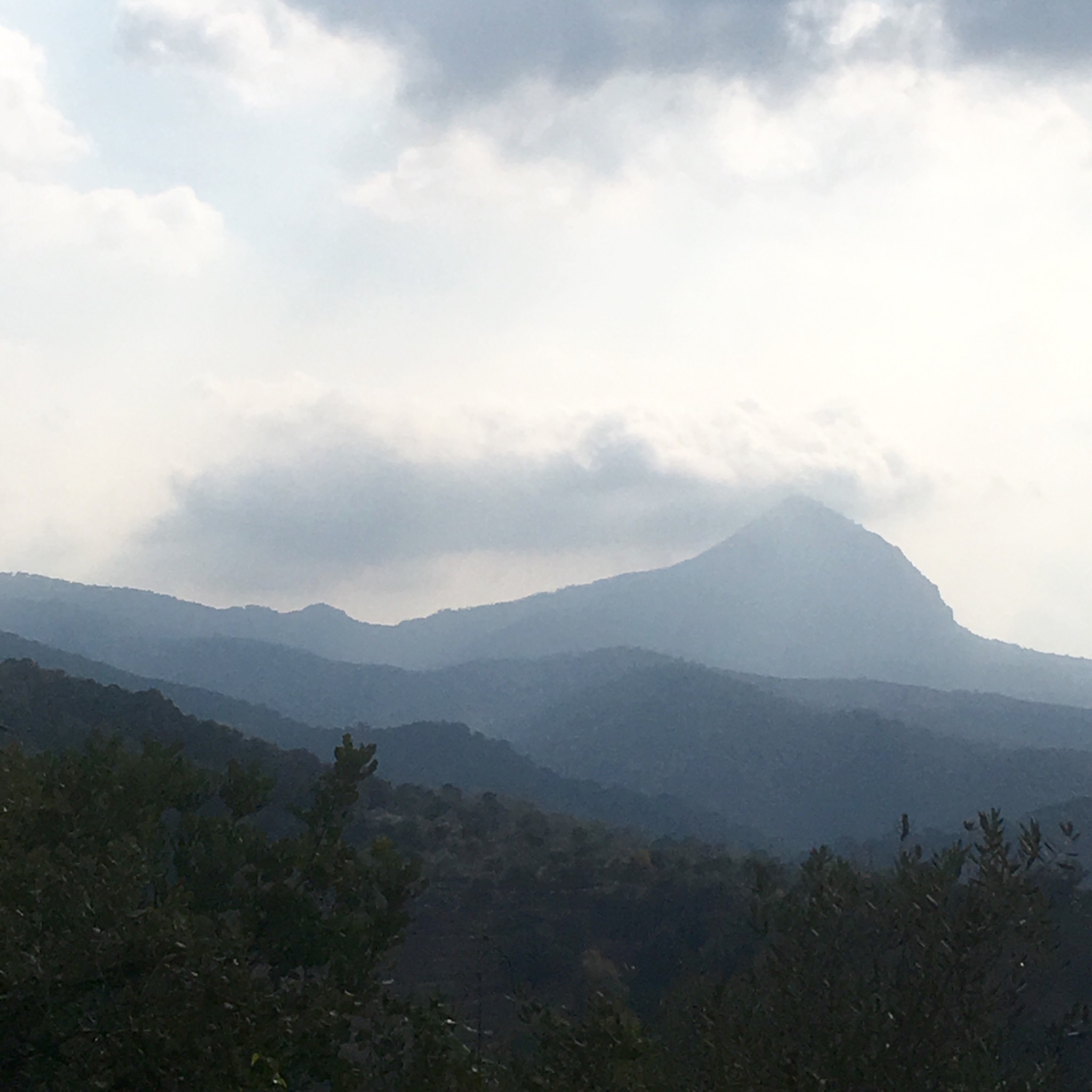
The sky was clear again. The forecast rain had yet to appear. The sun sparkled on the dew and I got my first real view of the costa lying below.
Setting out on the road in the gloom I was mindful to take notice of the warnings before I headed off down tracks that would take me past some very “civilised ” gardens and mansions that would not have looked out of place in the Home Counties. Perhaps the owners were trying to recreate the old country in the sun. The flowers were nice.


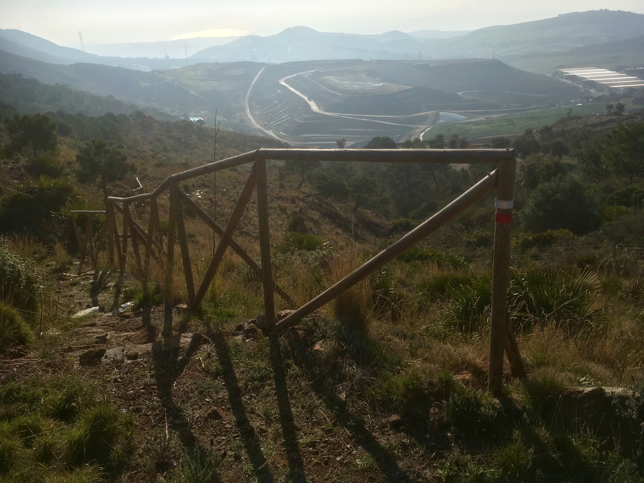
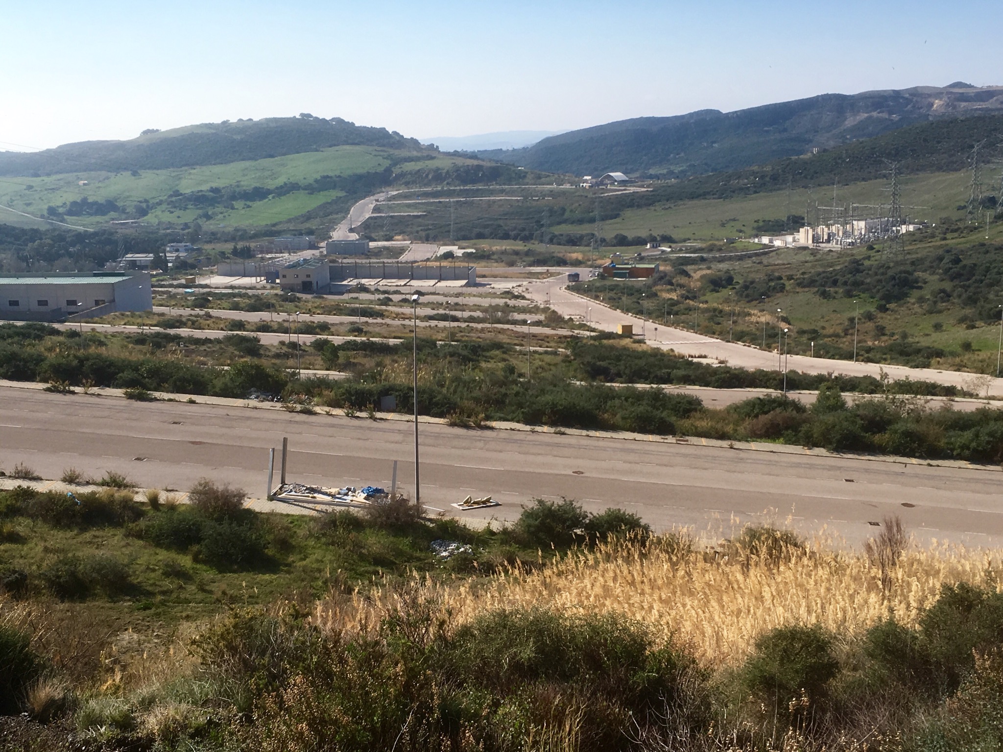
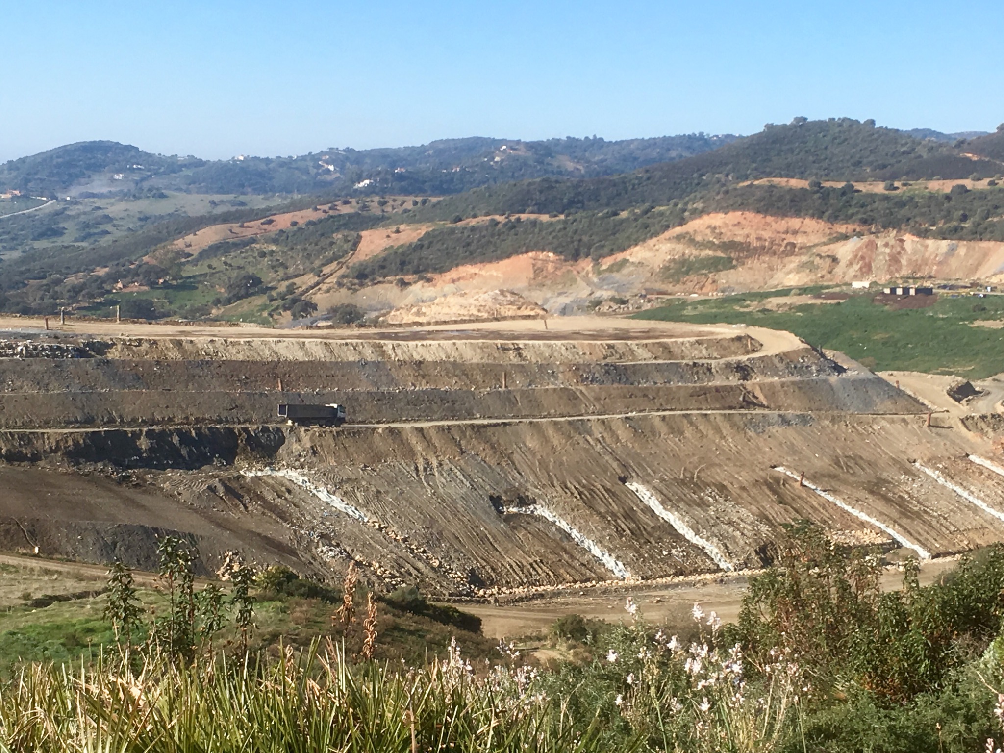
Ironically, as I crested the ridge above the ideal homes I came upon the bizarre sight and worse smell of a huge landfill site. The poor GR runs down on a neglected path ( I guess it’s not a popular section) right to it and alongside it before thankfully turning its back and beginning a torturous climb into the Sierra Bermeja.

Up and relentlessly up into the admittedly beautiful mountains on a mixture of incredibly rough footpaths and tracks made to service the pylons that stride across these slopes.


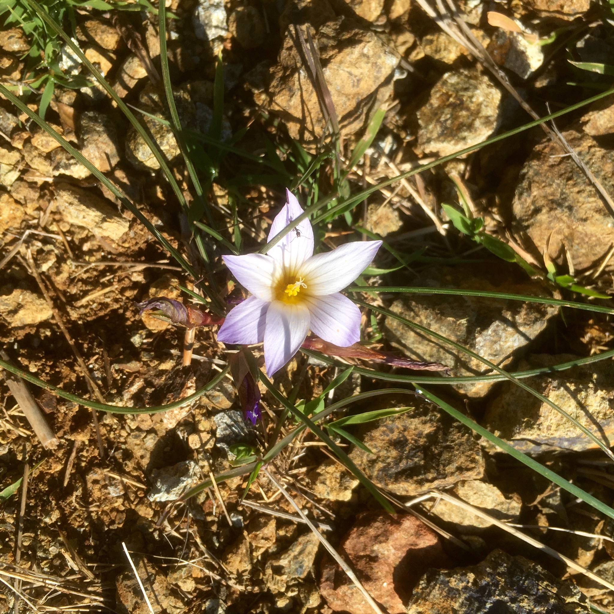
Lovely spring flowers poked their delicate heads through the hard stone surface of the track and there were many rockfalls and landslides.


It seemed absurd to suddenly come across a road works sign on a track that even a digger would have problems navigating but they had replaced a bridge over a steam I soaked my feet in.


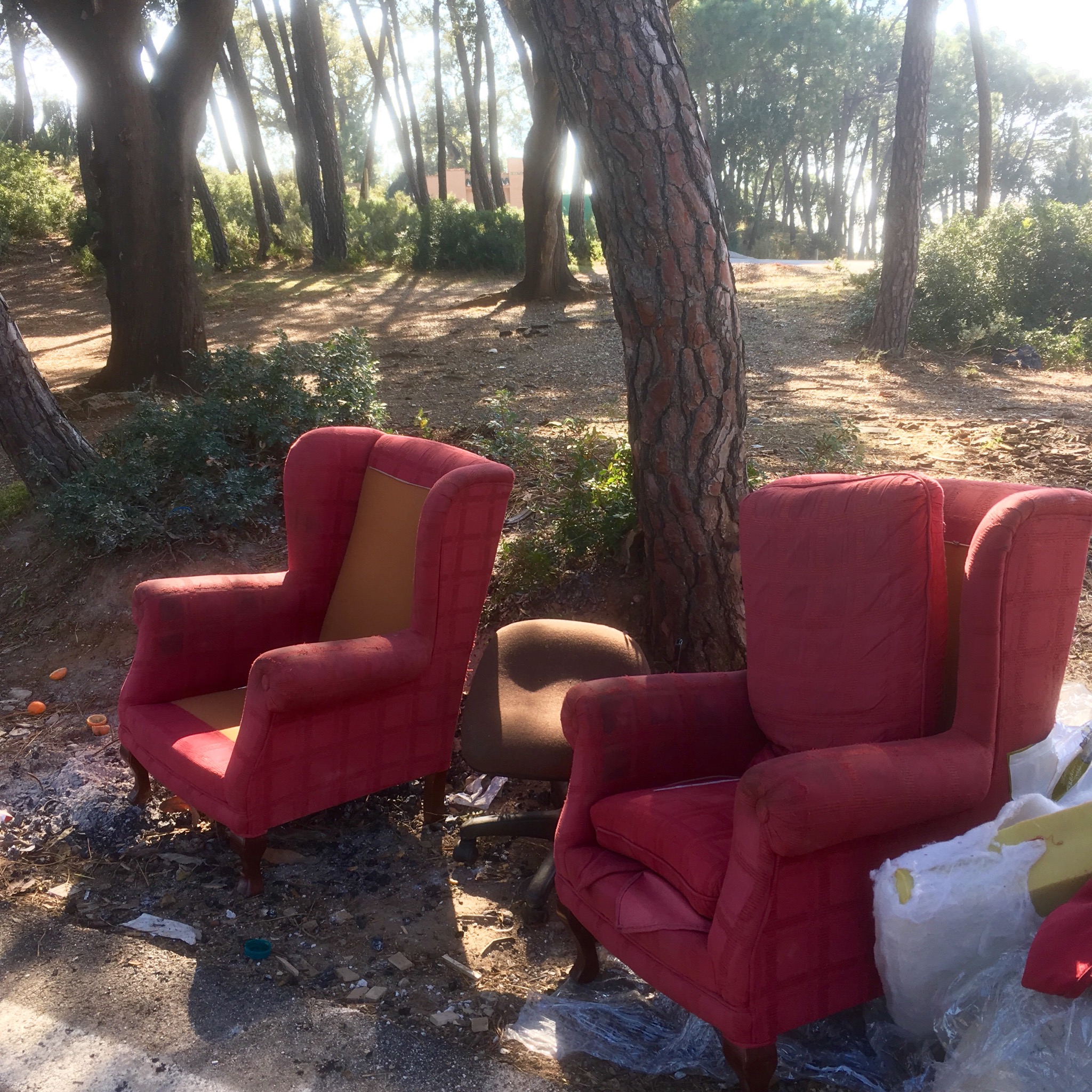
At some point ( I think I know where) I missed a turn off. It was around the point where the route had changed and I blithely followed the main track for too far before realising my mistake. It meant carrying on to the Tarmac road from the mountains down into Estepona which was a long hot slog I didn’t need at the end of the day. I passed some very comfy looking chairs I thought I could probably sleep in and some inviting benches placed for the setting sun but carried on and now I am happily set in a air b+b with a view of the sea contemplating my 27km beach walk tomorrow.