 Just south of Clonmel you leave Tipperary and enter Waterford and the ground before you rises up into one of the most beguiling mountain ranges in Ireland, the Comeraghs ( from Cumarach- full of hollows). Named after the glacial coums or corries nestled into the sheltering arcs of towering cliffs of old red sandstone, their drama has drawn walkers for a long time and I’d been trying to get into them for years. With the dry and sunny weather due to end soon I took off for a couple of days exploration.
Arriving after dark in the Nire Valley car park it wasn’t till the morning that I could appreciate my surroundings, at the head of a peaceful and deeply rural wooded river valley with the massed bulk of the central plateau before me to the south.
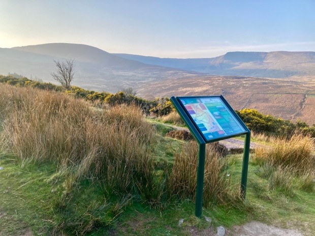
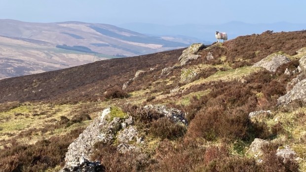
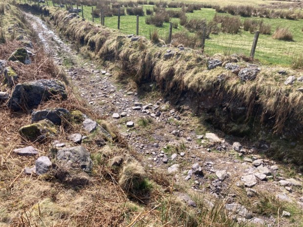
The map board indicated a number of colour coded loops which I would incorporate into longer more demanding hikes. First up I followed the white marker posts through the heather on the trail to The Gap, spooking grazing sheep as I went. 

This has been a route over the mountains for centuries and was known as Boithrin na Sochraide, the Funeral Road, and was used up till 1926 for transporting coffins 6 miles east to Rathgormack as the Nire valley had no graveyard. Some of the large boulders on the way were known as places to set the coffins down in order to rest. It had also been engineered into a famine relief road in the mid 18th century. This catastrophe, caused by extremely cold and dry weather, resulted in failure of grain and potatoes and a greater loss of life, proportionately, than the Great Famine a century later. 1741 was known as Bliain an Air, the Year of Slaughter.

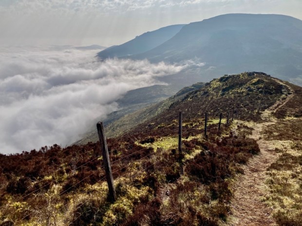
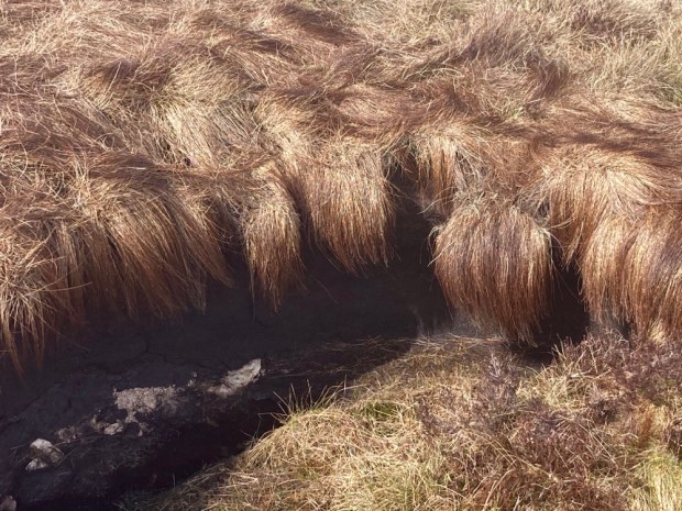
I past a lot of burnt ground, the setting of fires was a frequent and dangerous occurrence in the hills to increase grass cover, and the dry conditions rendered the boardwalks obsolete. As I approached the Gap I thought perhaps there was billowing smoke advancing but I discovered that it was the whispy edge of a thick blanket of cloud on the eastern side of the ridge.


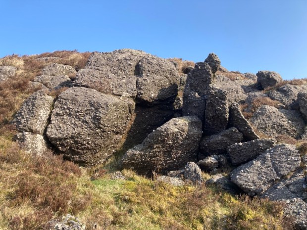
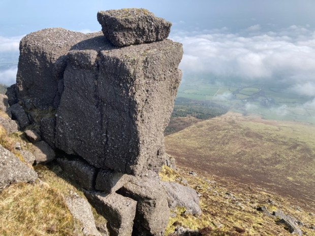
From the Gap I turned left to follow the Seven Sisters ridge to the summit of Knockanaffrin at 755m. The steep linear arête is a separate northern protrusion to rest of the range and the precipitous drop to the east would have given me views to the Blackstairs and Wicklow mountains were it not for the cloud and haze. Occasional lumps of quartzite sparkled in the sun but most of the lumpen rock sculptures teetering on the edge of the cliffs were a coarse conglomerate.
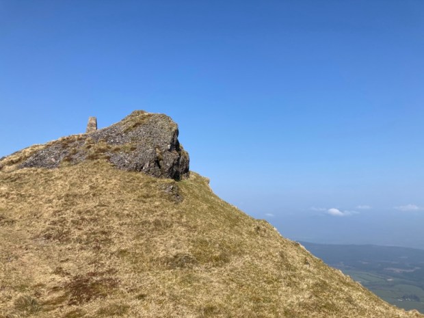
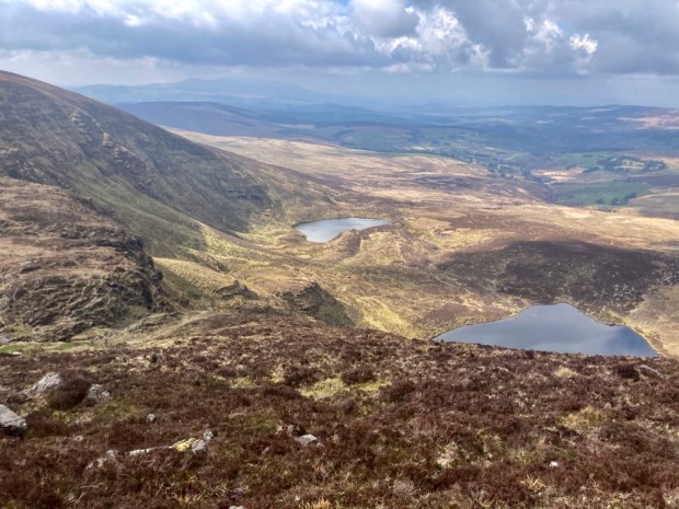
My first corrie, Coumduala, and its lough revealed itself hundreds of meters below as I moved up to reach the little cairn marking the summit of Knockanaffrin, the Hill of the Mass, although it’s an unlikely setting for Mass even in penal times. 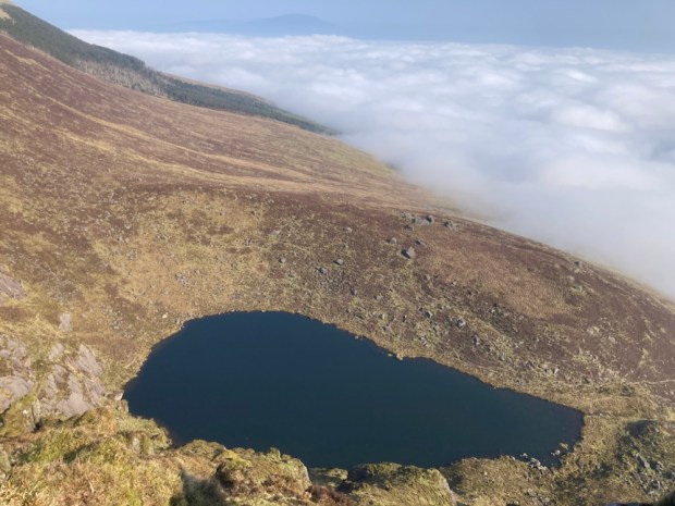


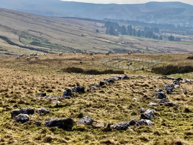
Onwards to the next peak, of Knocksheegowna, past Lough Mohra and the tiny figures walking towards it on loops from Glenpatrick forest. From the trig point I headed down south east across the broad expanse of mountain past a series of sheep pens to reach the stream and track that took me back past ancient homesteads to the road that led to the car park with the sun setting on the Nire Valley.


Next morning I was off early to undertake one of the classic walks of this region- the circuit of the Nire/Nier Valley Coums. The river, which seemed to be spelt both ways, gathers together from tributaries emerging out of half a dozen corrie lakes and this route would take me on a sweeping arc around the plateau high above them.
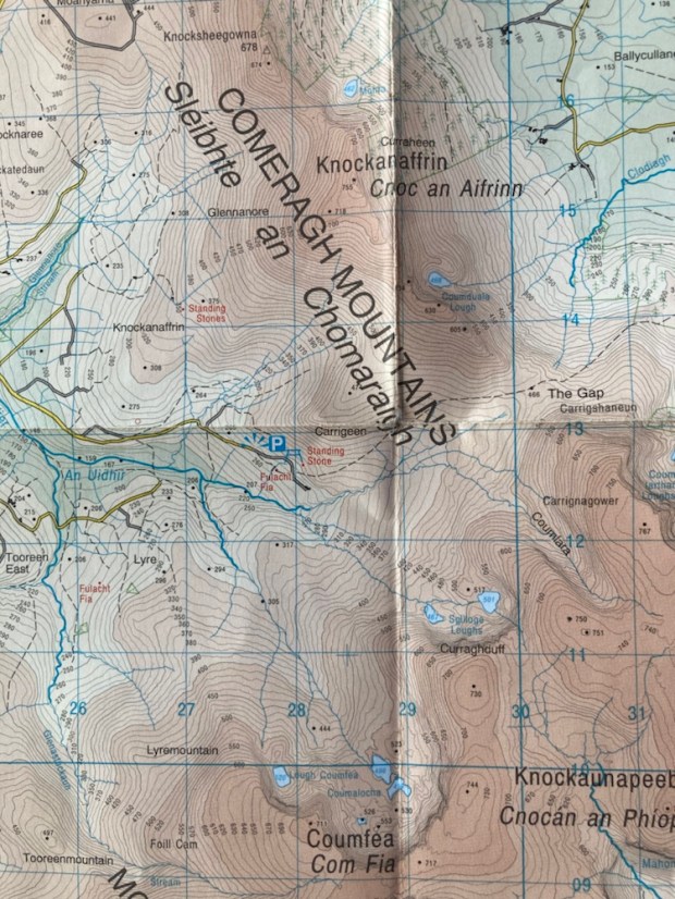
( Apologies to OSI for flagrant breach of copy-write)
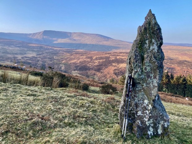
Setting off down the farm track from the parkup I went to admire a tall standing stone before continuing down to ford the river and begin the climb through boggy and tussocky ground to gain the broad western shoulder of Coumfea.


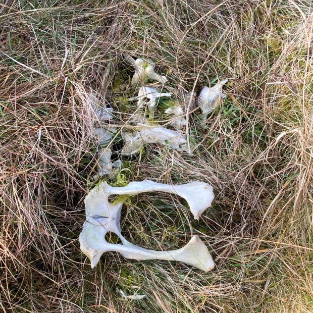
There were many streams to cross and many remnants of sheep that died of unknown causes, another reminder in the pleasant sunshine of how tough things here can be. As I gained altitude Lough Coumlea came into view enclosed by the tiered cliffs.


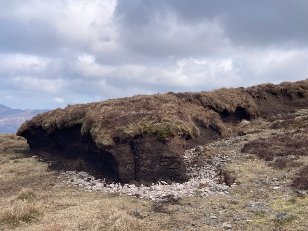
At last on the easy bit, I had only to follow the tracks of quad and sheep around the corrie rim, atop the precipitous cliffs and through eroded turf hags admiring the necklace of dark Coum pools far beneath.


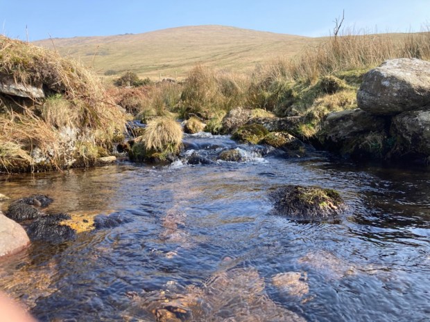
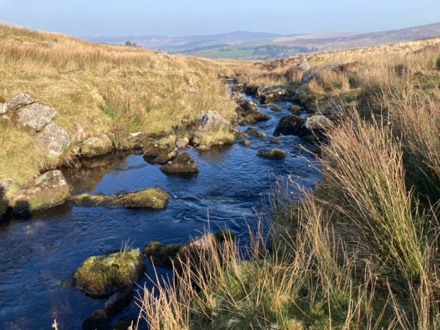
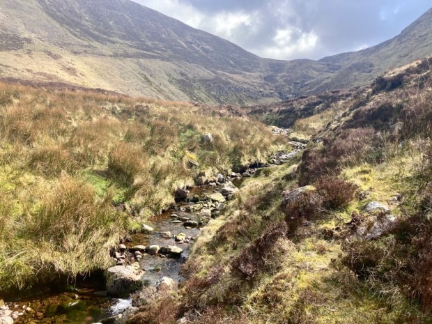
Passing Coumalocha I continued north around the rim over Curraghduff above the Spilloge Loughs where I had to cross the stream that tumbled over the cliff. In winter the winds are reputed to blow the water back up over the cliffs to freeze into bizarre formations on the rocks and vegetation. Contouring around the mountain I turned into the ” blind” coum of Coumlara, without a lake, and I clambered down to meet the stream that becomes the Nire.


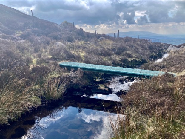
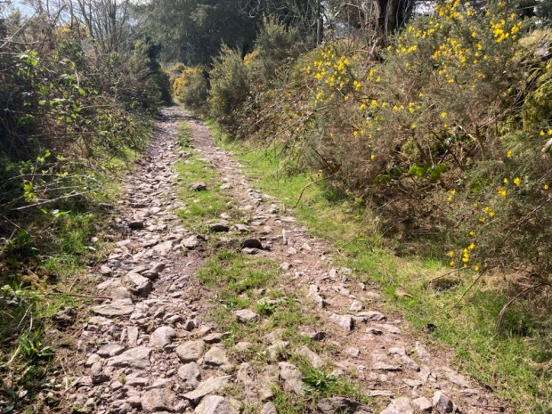
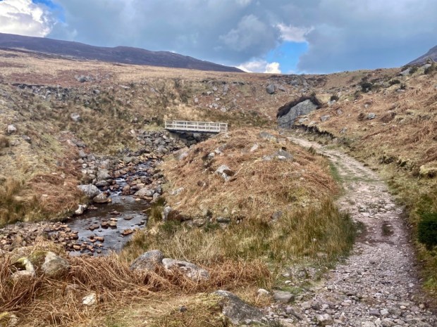
Now down onto one of the waymarked loops I had only to follow it back through the heather, on boardwalks through boggy ground and over a wooden bridge above the nascent Nire to return to the camper. 
The final leg was shared with another couple and we talked of the great plumes of wildfire smoke we had seen to the north and watched as a helicopter beat back and forth across the mountains. On my drive out of the beautiful valley I met a flashing fire engine urgently rushing into the hills. The radio news also featured stories of hill fires in Cork, Kilkenny and Wexford. It’s time to hope for rain.

