With all the media attention on the Camino Frances, the main pilgrim route to Santiago across Northern Spain, in the last 5 years or so,it has become a victim of it’s own success .
In the summer months especially it has become a bit of a too well worn path with thousands of pilgrims competing for beds in the alburgues and remote landscapes decorated with a string of rucksacks trudging towards the horizon.
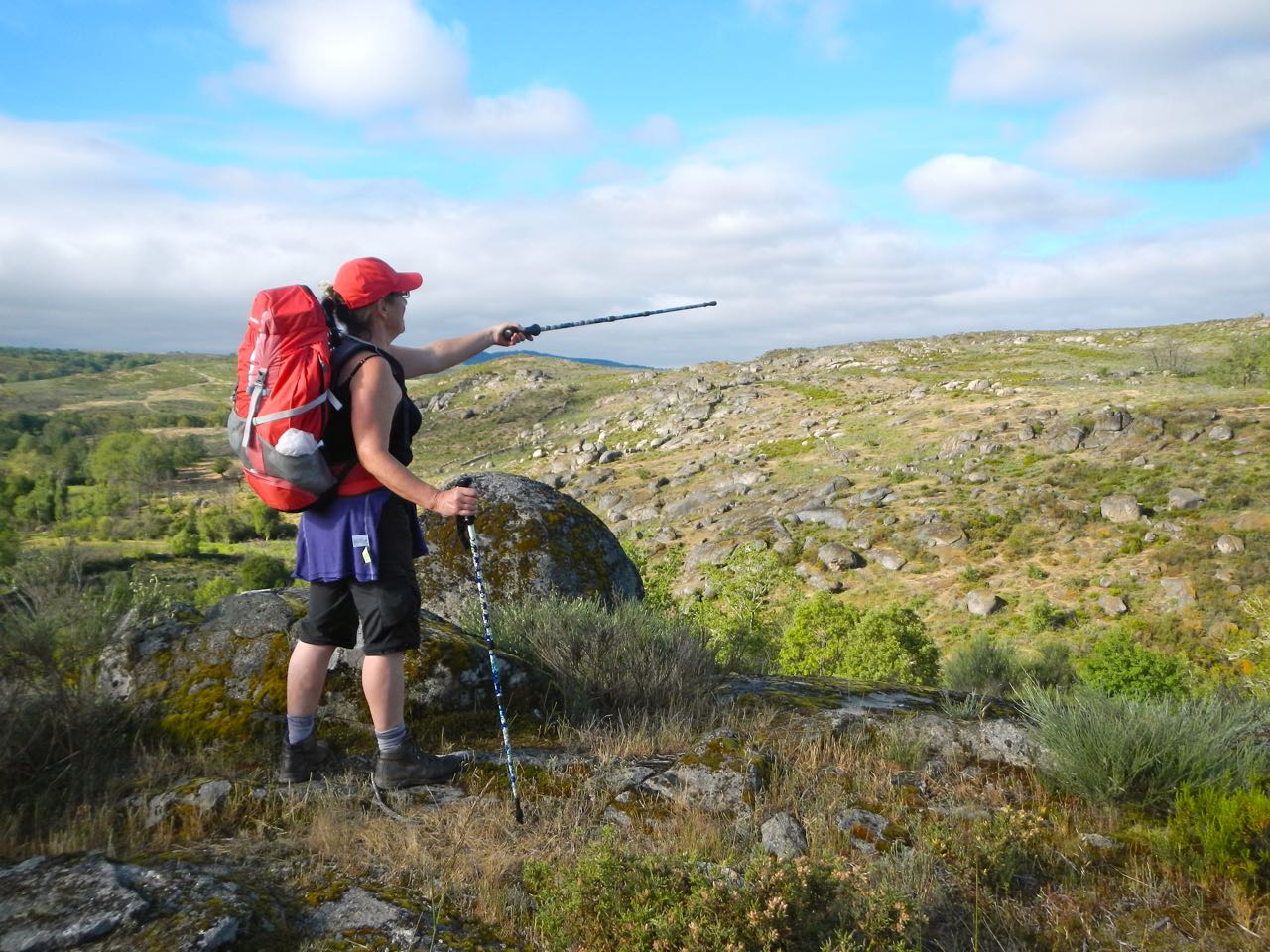
Having walked the Frances 10 years ago and wanting to return via a less crowded route we chose a branch of the Via de la Plata, the silver way, that comes up from Seville . 40kms north of Zamora, you have a choice to either carry on to Astorga to join the main trail or veer west along what becomes the South-Eastern Way.
Also known as the Camino Sanabres it is the longest Galician leg and from where we joined it at Puebla de Sanabria it’s 250 kms to Santiago.
It’s a handy route for those with a couple of weeks to explore the Way and reach Santiago with more than enough kms under your feet to qualify for a Compostela at journeys end. In fact, for those in a hurry, the required 100kms are achievable from Ourense, a 30 min high speed train journey after flying into Santiago, followed by a 5 day walk back.
For those with more time or energy on their hands (and legs and feet) there are buses and trains travelling east from Ourense to different stops along the route.
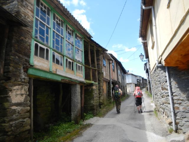
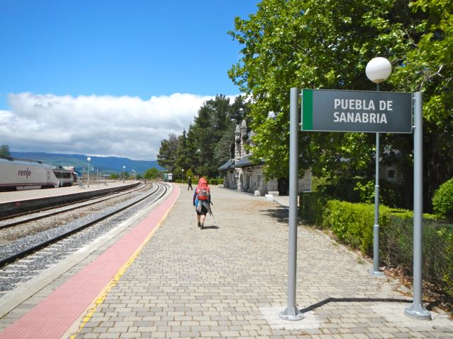 Arriving at Puebla de Sanabria we discovered pretty quickly that the high speed train track being built between Galicia and Madrid was going to be crisscrossing our Camino for awhile , causing a few diversions here and there, but soon we were passing through the first of many beautiful and ancient Galician villages, Terrosa
 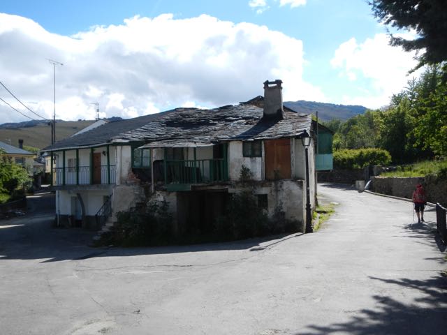 where an old fella, spying us, rushed into his house to retrieve many ledgers for us to sign and stamps for him to print into our Credential or pilgrim passport.
A few kms later we were booking into a privately run albergue in Requejo 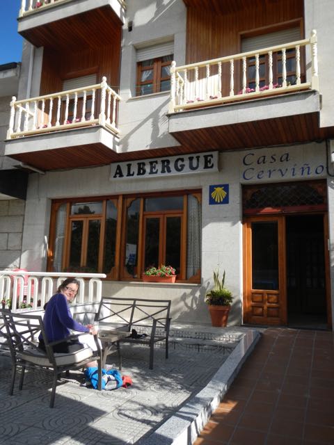 where we met a couple we were to spend much of the next 10 days with when we had dinner at the resturante up the road offering 3 course pilgrim menu and lashings of red wine for €7.
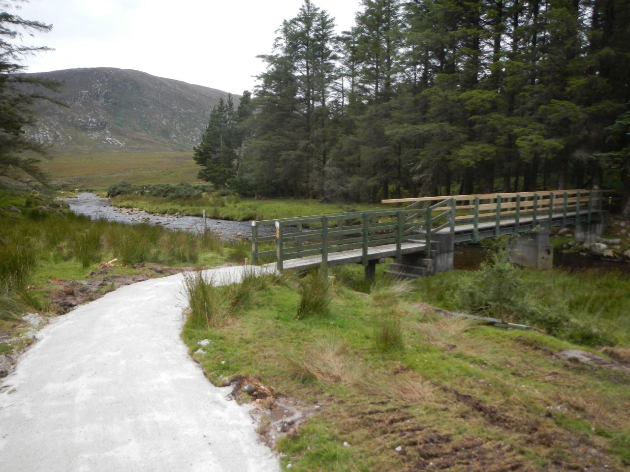
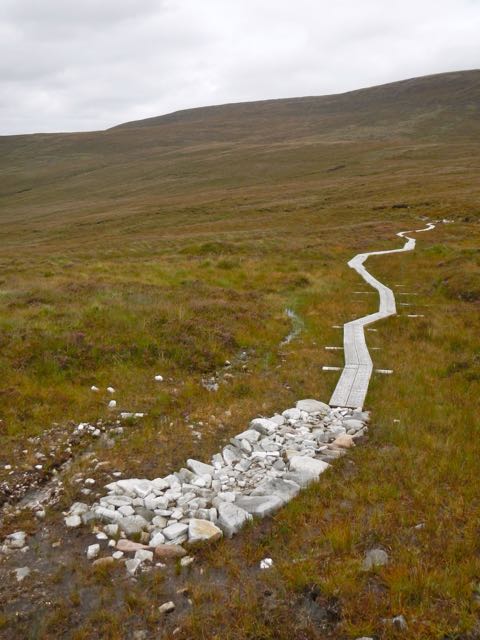
Next day we climbed and climbed into the mist on ageless tracks passing under vast new roadways 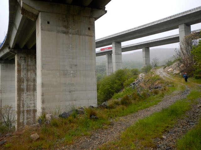 to reach the highest point on the Camino at 1320mts. We continued through the soft rain over the uplands and another pass into Galicia without much of a view. As we descended the weather improved, the construction and traffic noises faded and we felt we were on the Way.

An overnight in Vilavella on the softest most formless mattress we’ve ever been trapped  in was followed by a short but beautiful 12.5km stretch on ancient original stone paved camino.

We crossed sparse moors with gritstone outcrops looking a little like Cornwall or Hampi in India.
A lovely old trail with beautiful wild flowers, blue sky and sunshine led us to a very well appointed municipal albergue in A.Gudina.
Arriving early we had the place to ourselves but as the day went on it filled with fellow pilgrims which resulted in a night of snoring and wheezing, encouraging us out pre sunrise next morning 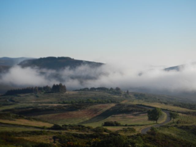
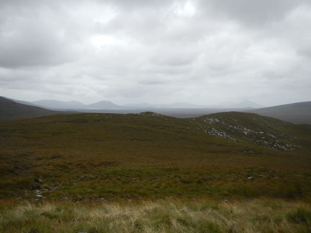
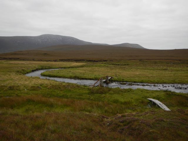
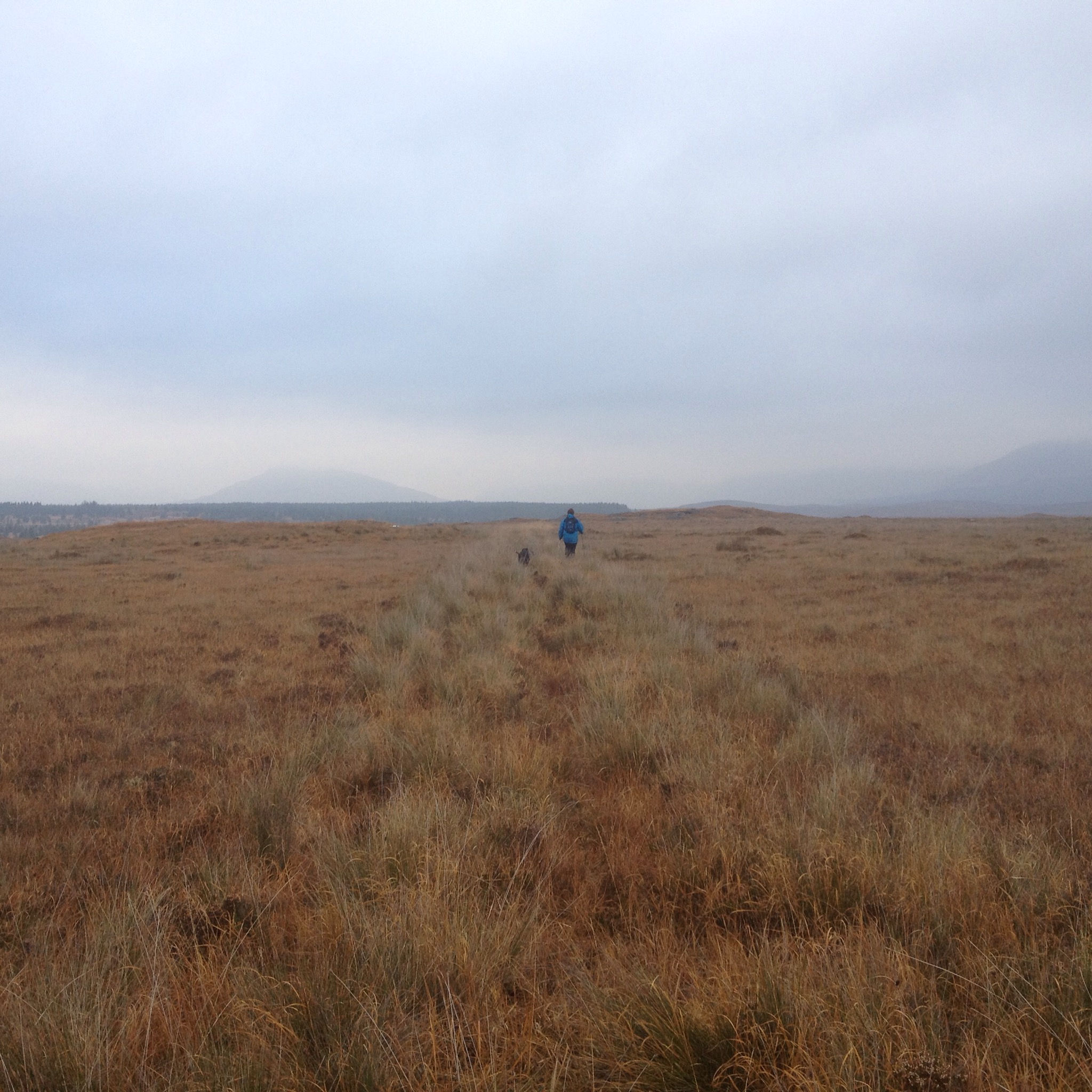
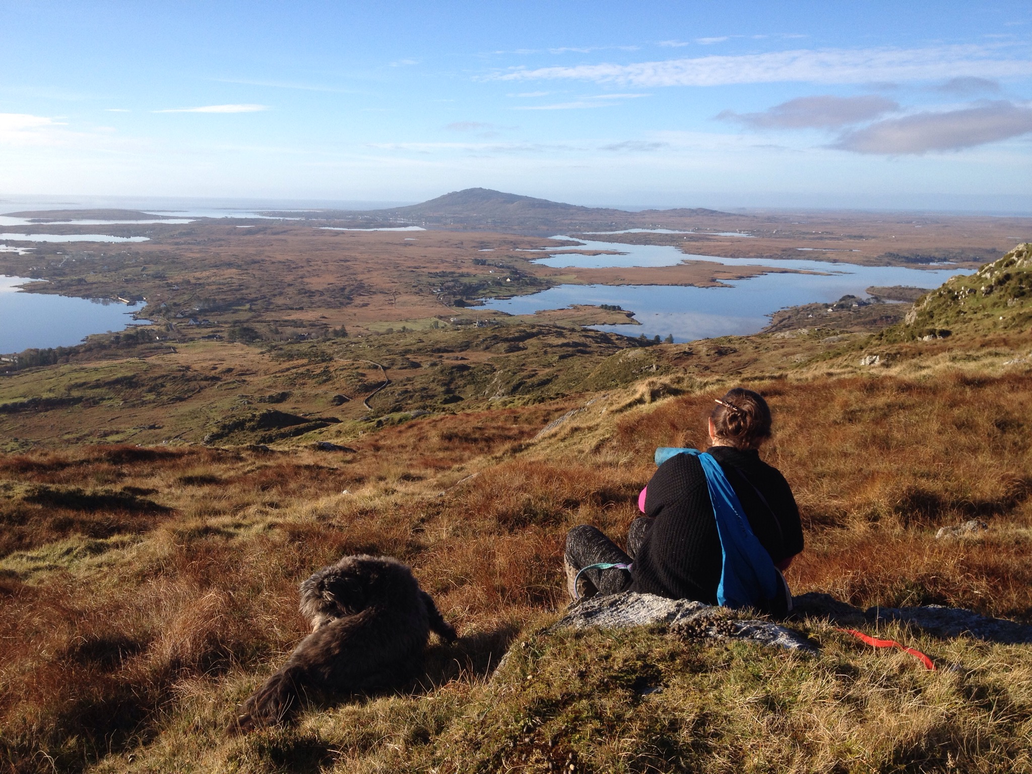
for a 35km stretch over the high ground with views far and wide of rounded green hills and a many fingered lake.

In the afternoon we were revived by coffee and cake in the old ramshackle village of As Eiras where the local Camino Assoc had a little volunteer run cafe in one of the ancient stone buildings.

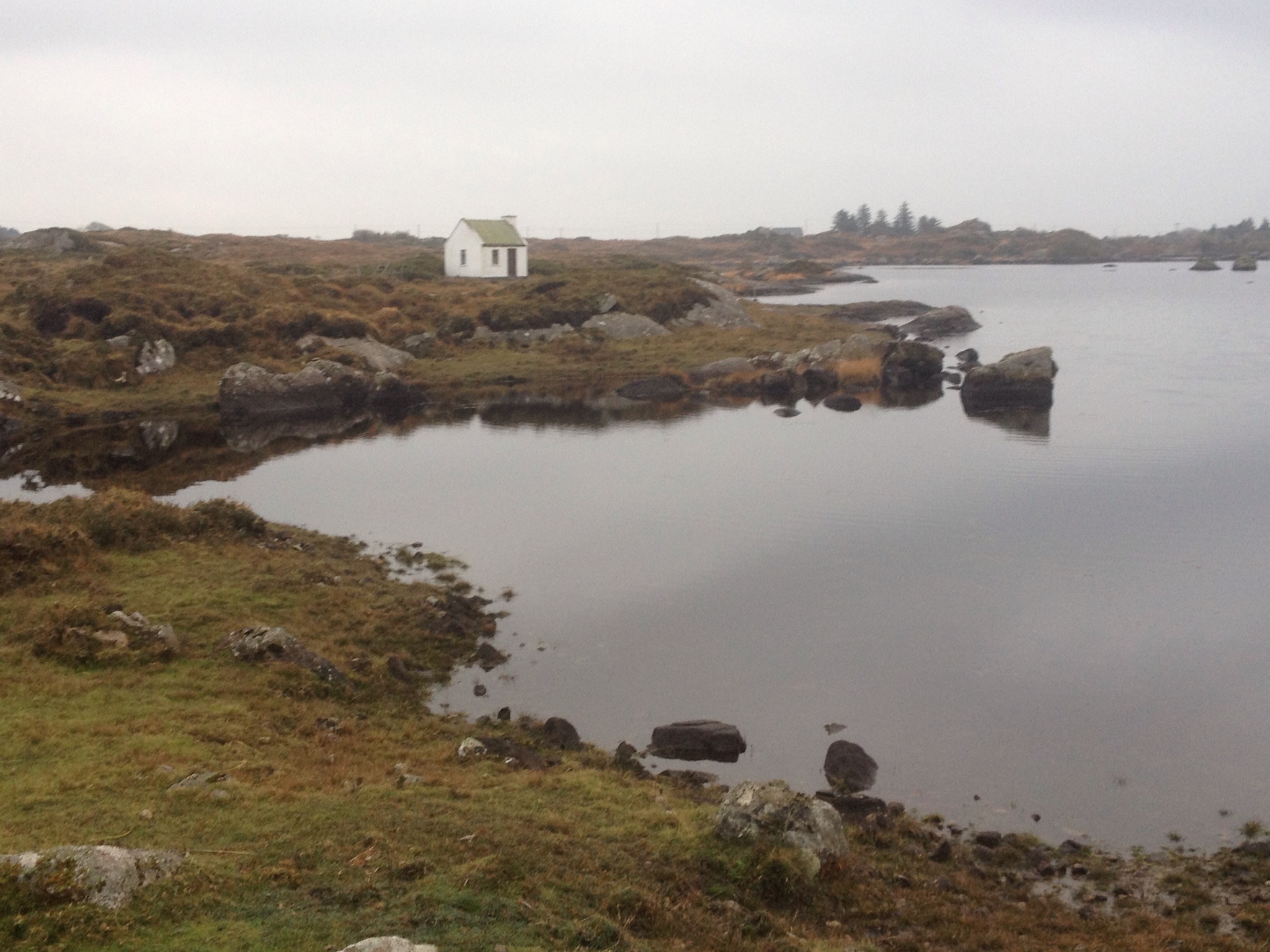
The architecture in these deeply rural Galician villages is one of the most attractive features of the Camino and has survived almost unchanged for hundreds of years.


Surrounded by well managed coppiced and pollarded forests of chestnut, walnut and oak, rich agricultural land and colourful and productive flower and vegetable gardens, the people may have been poor and isolated but were obviously rich in the fruits of the earth.


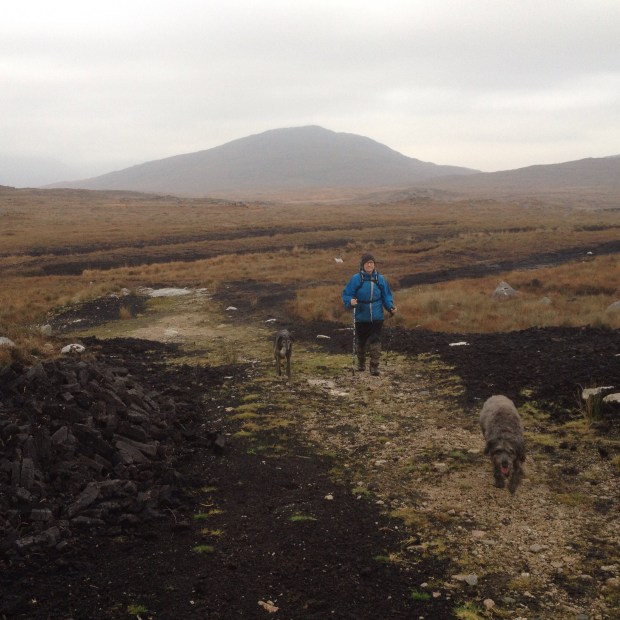
After our weary bodies had rested overnight in a stylish new municipal albergue in Laza it was another long haul uphill through forest

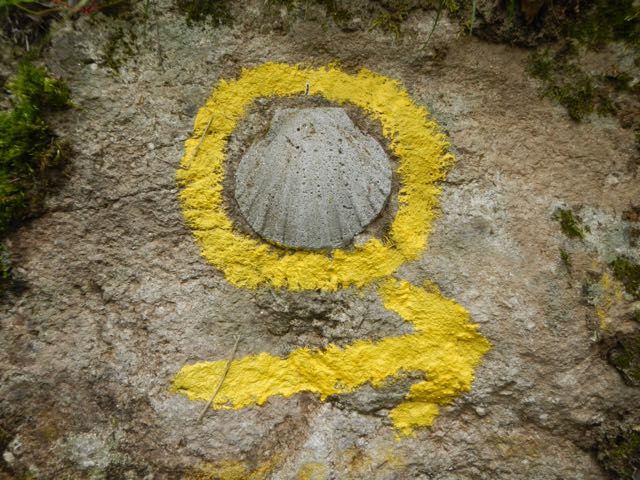
to reach Albergueria, an ancient hamlet with a bar and hostel adorned with thousands of scallop shells signed by pilgrims.


Being a sunday we were joined on the Way by more walkers with day packs enjoying the tranquil woodland paths and highland trails.


An overnight in another new hostal in Vilar do Barrio ( all municipal albergues in Galicia cost just €6) and another bargain and wine soaked dinner at the plain and simple restaurant opposite gave us the energy the next day for a 36km hike down more medieval pathways to Ourense.

With only a little over 100kms to go we decided to have a day off in this large town and enjoy the free public hot spring pools with which it is blessed. One of the largest supplies of geothermal water in Europe have been used to create half a dozen sets of stone lined pools, complete with parks and gardens along the banks of the river Mino which winds through the town. Open all and everyday they are a great social magnet with many old folk bathing and chatting each morning for hours on end.

A day of rejuvenating soaks in different pools of ranging temperatures had us ready for a long, steep uphill stretch for 4kms followed by a section on old cobbled and sandy trails through ancient oak and chestnut woodland, over gorsey moorland and past well tended gardens of vegetables.

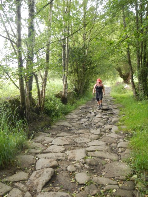
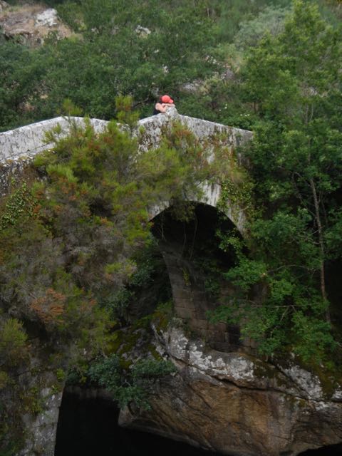
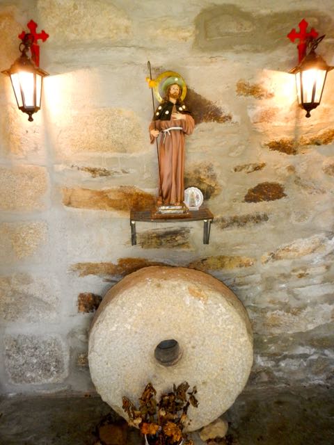
The stones beneath our feet resinated with the lingering energy of countless previous pilgrims over the thousand years before we passed by and the religious purpose of the Way was often brought home by the shrines and statues that lined our path.


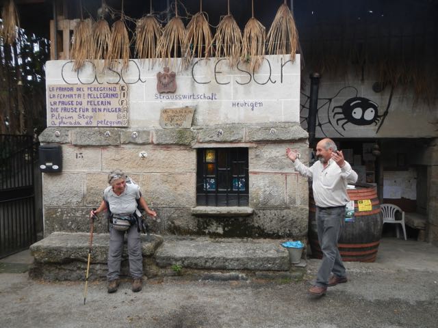
We came upon Casa Caesar where a friendly and generous pilgrim guardian welcomed us into his home and plied us with all manner of homemade food and drink, showed us a vast collection of momentos and photos and regaled us with stories and anecdotes we couldn’t understand. You don’t get those experiences on most hiking routes.
Fortified, we carried on to Cea, famous for it’s wood fired bread ovens, another beautiful and ancient stone village.The albuergue was a skilful blending of antique and modern looked after by a hospitalero sporting a fine moustache and Galician beret.


The next couple of days flew by as our bodies, by now “track fit”, walked on automatic. Perfect walking weather. Hot and sunny when we were in the woods and cloudy with a cooling breeze when crossing the open high ground.

The trail was the by now familiar mix of little fields, forest, hamlets, gardens, paths, road, tracks, a little more built up now we were approaching Santiago. In Toboada we came upon a medieval church which was full of interesting symbolic art.


The weather changed on the afternoon of the second day and we got caught in a downpour on the approach to Banderos. Luckily the strangely designed modern albergue there had heaters blasting hot air into the dormitory and we were soon dry again.


Another day over farmland and through forest followed by a final climb of 200mts got us to our last albergue of the trip. We speculated on weather the Galician government gave the design of these to keen young trainees as this one at Outeiro was another modernist block.

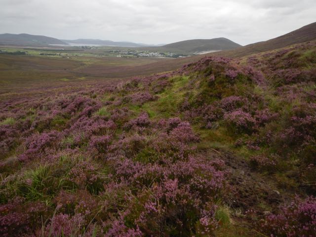
Our final leg into Santiago was only 16kms but we were on the trail early. The hills were wreathed in mist and the trees all dripped with recent rain as we made our way down to the roads leading towards the suburbs. The rural feel and mixed farmland lasted right up to the city gates which we entered from the south east and avoided the crowds of pilgrims coming from the Camino Frances until, suddenly we were in the cathedral square and it was time to celebrate our achievement and part company with our fellow pilgrims.

Santiago de Compostella at last!