20/24km
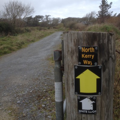
The North Kerry Way starts in Tralee and goes north up the coast to Ballyheigue before doing a loop around Kerry Head. I left my van in Ballyheigue ,did the loop on the first day, slept in the van,continued to Tralee the next day and then got a cab with the dogs back.
An old narrow boreen lead us out of Ballyheigue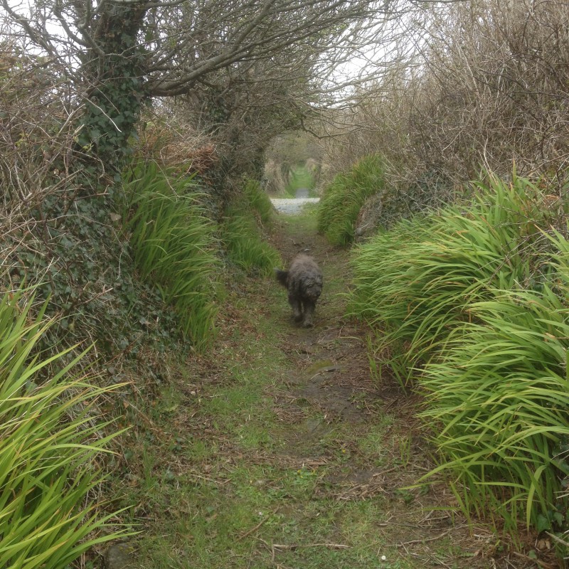
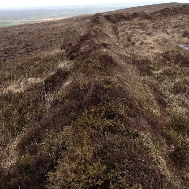
climbing up to higher ground passing the ancient earthwork of An Clai Rua [track of the red ditch] a 6 foot wide bank that runs intermittently from Kerry Head all the way to Co. Limerick.
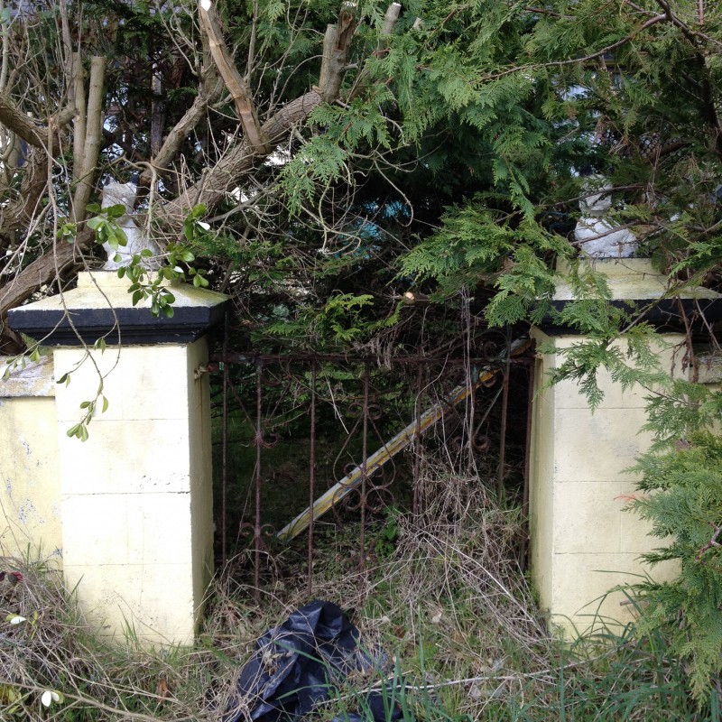
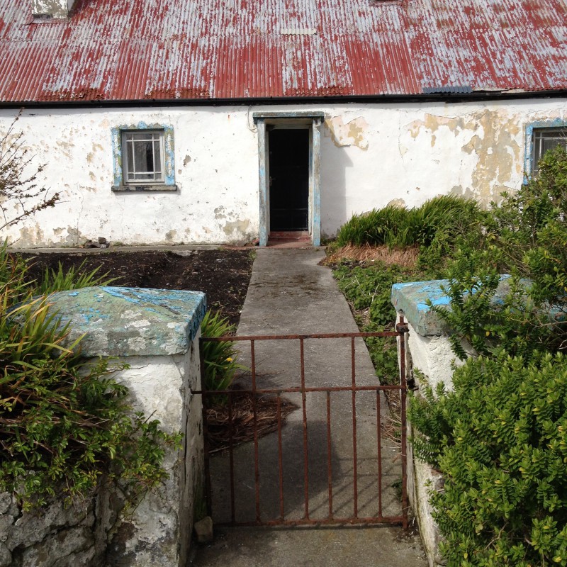
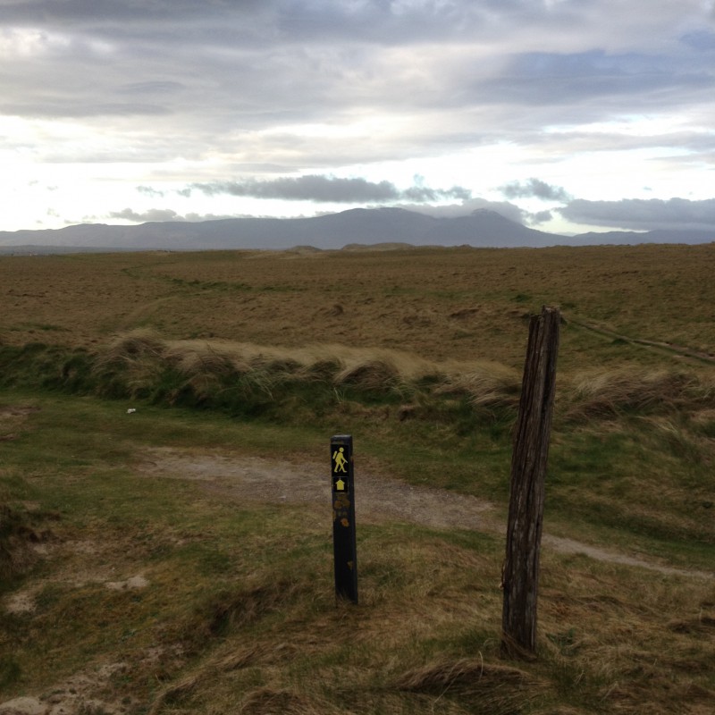
 A much quieter way than it’s neighbour the Dingle Way through a landscape dotted with many signs of abandonment both ancient and modern.
I took a detour of a couple of kms down towards the sea to visit the well of St Dahalin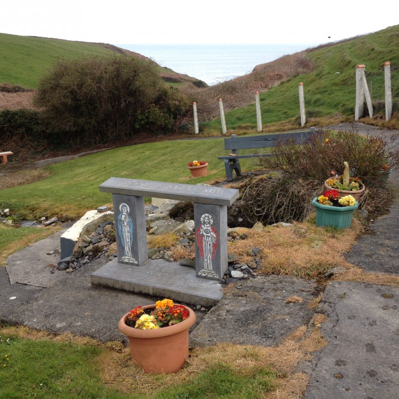
known as Tobar na Sul [The spring of the eyes] which is reputed to heal blindness and still visited by people who come to bath their eyes in the holy waters. We picked up a huge greyhound there who was determined to follow us 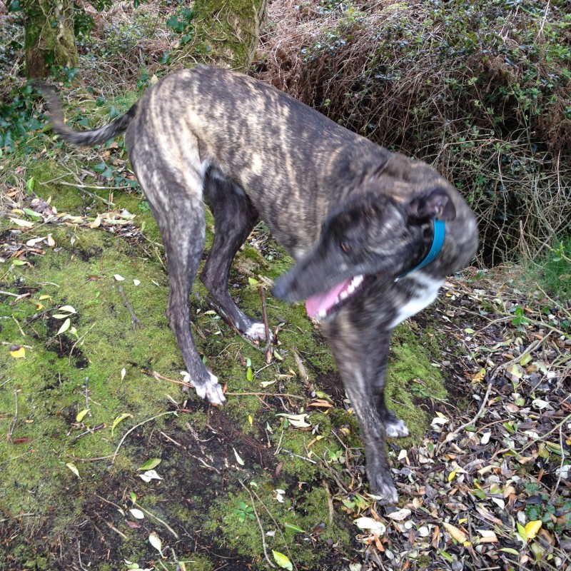
and it took an hour to find the owner and move on up the gorse lined bog road to Maulin mountain.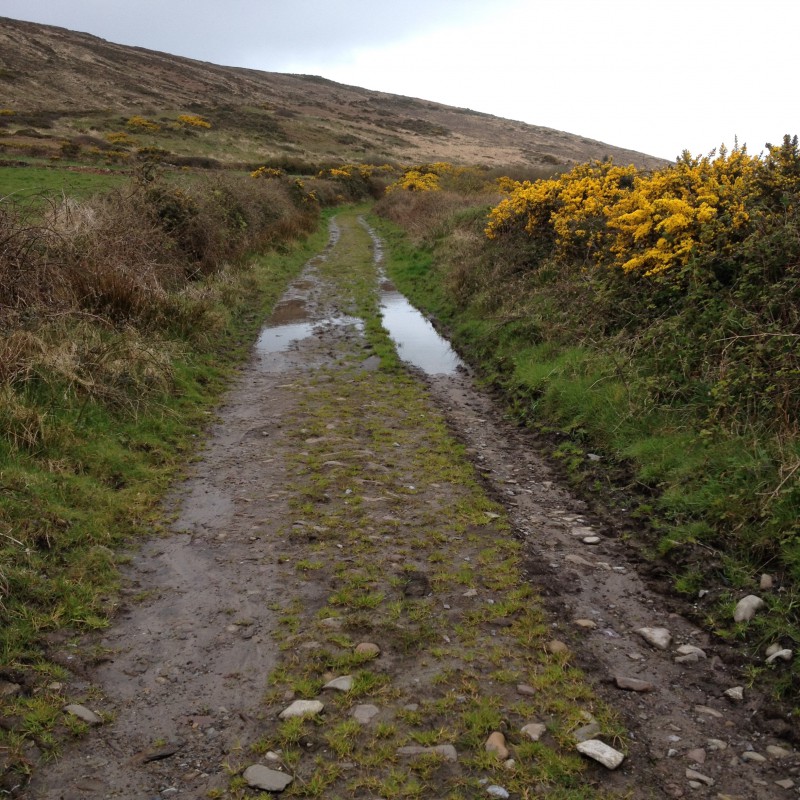
Good boots were needed on a long wet stretch of sunken path that must be a river in the rain. 
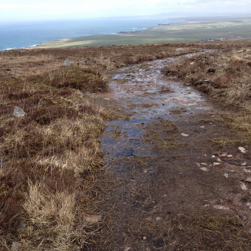
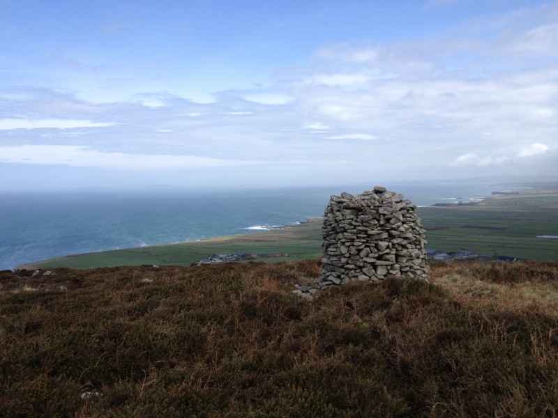
Towards the top the track became wide and open again and the views opened out to take in the mouth of the Shannon all the way down to Limerick and across to the south Clare coast and Loop Head lighthouse.
A tiny path lined with newly and optimistically planted trees  took us over Triskmore Mountain and down to a track leading west, passed more hounds
  and dumped rubbish
  to the end of Kerry Head where the farm would not win any prizes for eco awareness.
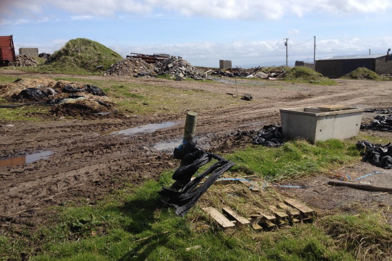
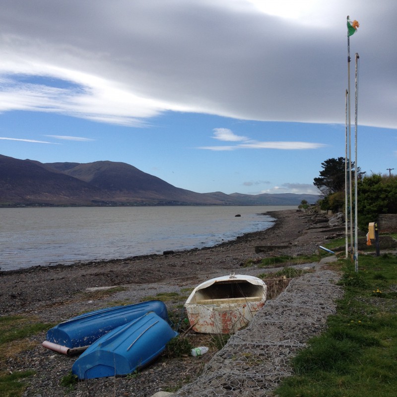
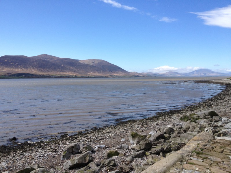
Turning south the expanse of Tralee Bay lay before us from the Slieve Mish range all the way west to Mount Brandon at the end of the Dingle Peninsular.The fine grassy fields were in south facing strips down to the sea from the road we followed past more old cottages back to Ballyheigue Bay.


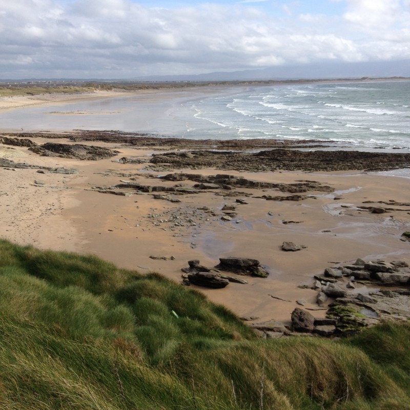
Next morning we headed off down about 8km of wide empty beach going inland briefly on a sluice bridge over the Tyse river 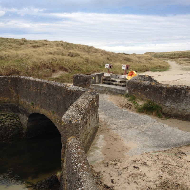
and across the flat heath Cul Tra “the back strand”, the dogs excited by the rabbits and skylarks.
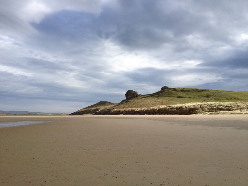
Back to the beach above Banna where the view was distracting enough for me to miss my path


off the beach which meant i had to cross the luckily low tide sands of Carrahane Strand to get back to the road.

The road was fairly narrow and fairly busy with no verges or easy escape from the traffic with the dogs so i was glad when we crossed the old Tralee to Fenit railway line and came down to Spa harbour.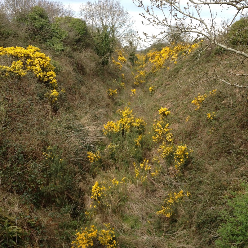
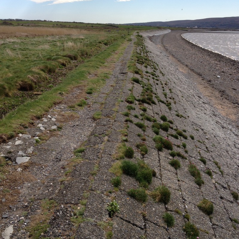
In the 18th century this was a popular and fashionable location when many of the large local English population came to take the mineral waters there. I don’t know if the sea wall i now followed was part of the relief scheme work carried out during the famine but half way along is a small bridge called Meal Bridge and was where the workers collected their Indian Meal payment.
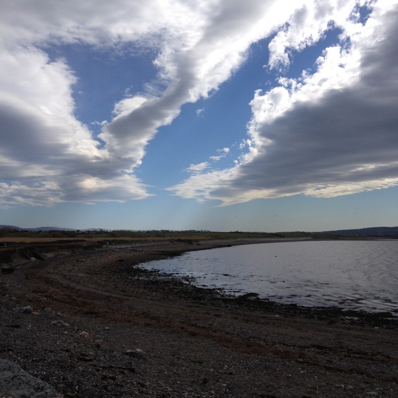
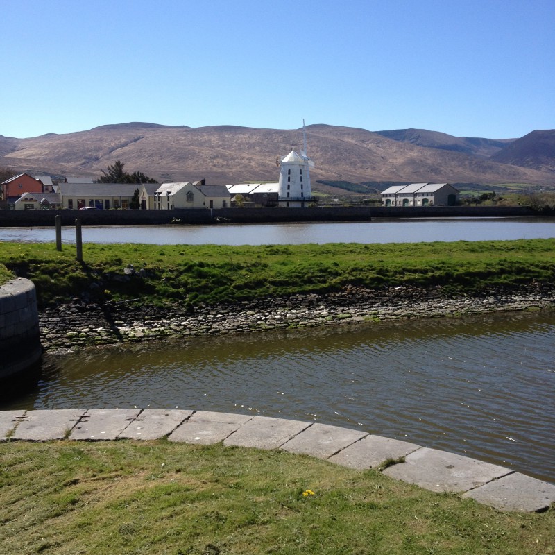
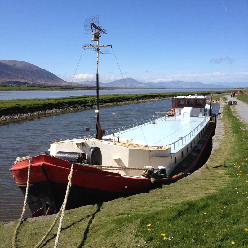
A deep narrow channel through the shallow water of the bay leads to “The Point” where the Tralee shipping canal brought freighters safely up the 2 1/2 kms to the city for 100 years.


It passes the windmill that was restored by local people and continues to grind grain and now also holds a museum of famine emigration in ships like the Jennie Johnston whose replica was built here recently.

The Ireland of today is in a very different place toothed and all the talk of austerity and the hardships of water charges are bought into perspective when you walk, blissfully, on “amenity areas” overlaid onto the spine of a desperate past. The landscape is/was beautiful, I only hope it gave some succour to the sufferers of the past.

Hi Steve
Great photos. As a worker for the organisation that will play a key role in maintaining the trail, including erecting signage, is there any chance we could use some of the images here for our information boards?
Thanks
Kind regards
John
LikeLike
That would be fine John. Just credit me if you can.
LikeLike
Of course Steve, without question. Thank you!
LikeLike