We thought we might not make it.
Booked to fly from Shannon to Malaga the day that Hurricane Ophelia swept across Ireland and all media were constantly telling everyone to stay at home, we didn’t think we’d be taking off at all.
Miraculously though,our plane was still not cancelled as we chain sawed our way through fallen trees on route to the airport through the maelstrom.
As we approached we saw the first post cancellations jet wobble its way down onto safe ground, and we knew we’d be off soon.
And so it was. After a remarkably smooth flight we landed into a barmy still night on the Costa del Sol, seemingly on a different planet to the storm tossed coast we had escaped.
Here for another week on the GR 249 trail, continuing the circumnavigation of Malaga Province for just over 100km over 5 days hiking and finishing with a bit of R+R.

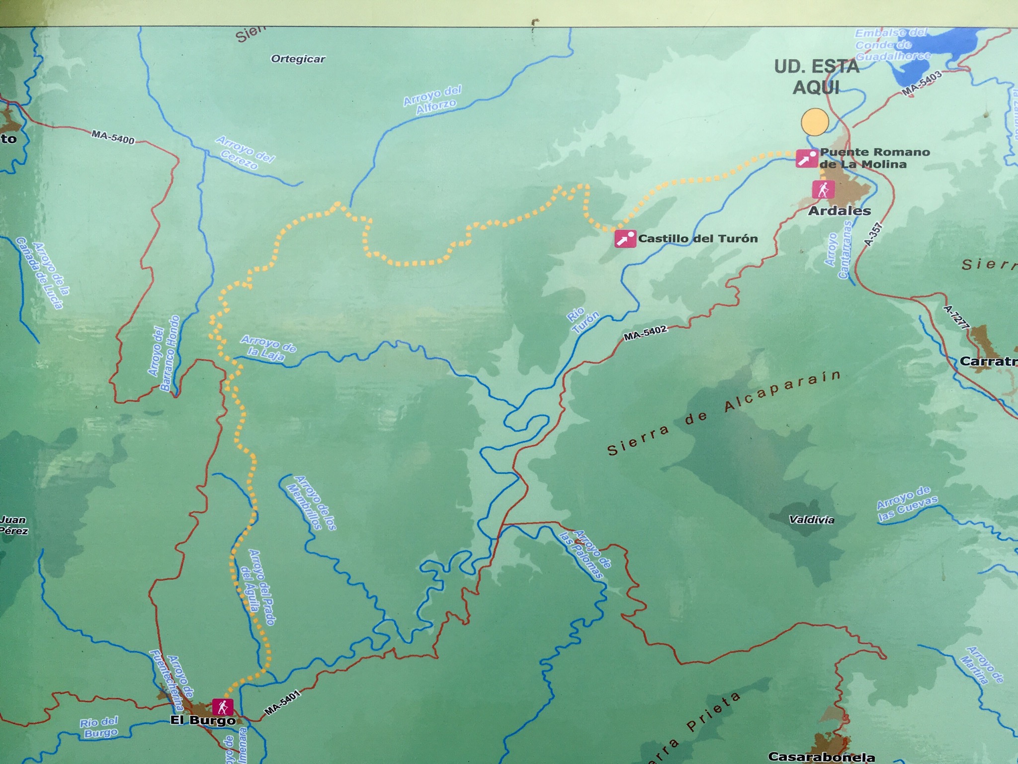
Studying the map board at El Chorro station, where I’d finished up last time, we were disturbed to see the route had been changed from all the info we had and now went 6 km longer past Carratraca before turning towards our objective, Ardales. However the GR7 still went along the original route so as it was already nearly midday we decided to stick to that.
It was a bit daunting to look up at the tower atop the hill we had to climb.
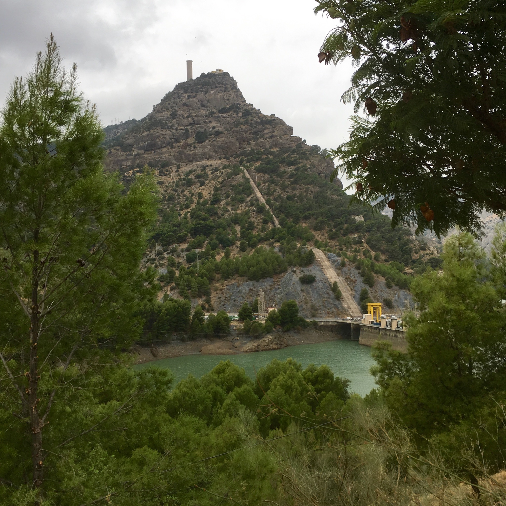
The tower was connected to a reservoir 350m higher than those below, and water is pumped up at times of surplus energy and allowed to run back down, through turbines, at times of need.
We climbed relentlessly for over 4 km, passed some interesting looking rock formations with life clinging to it precariously.


The higher we climbed the better the view, and after an hour or so we arrived at the wall of the reservoir and the tower with it’s resident vultures/ eagles and many more riding the updrafts around and above.


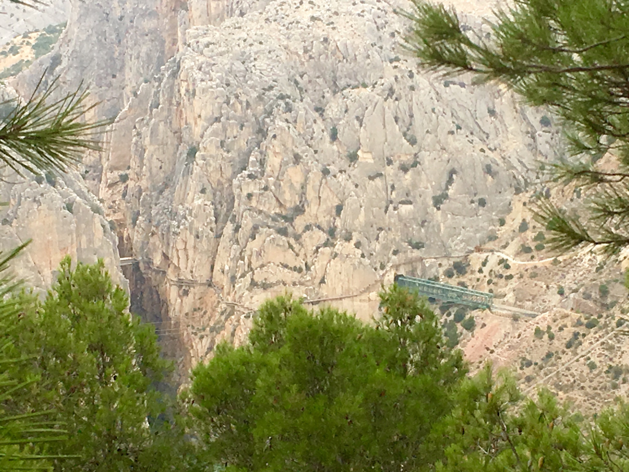
From this vantage point we could look down on a line of people crossing the new bridge at the end of the Caminito del Rey gorge, and continuing along the cliff side walkway.

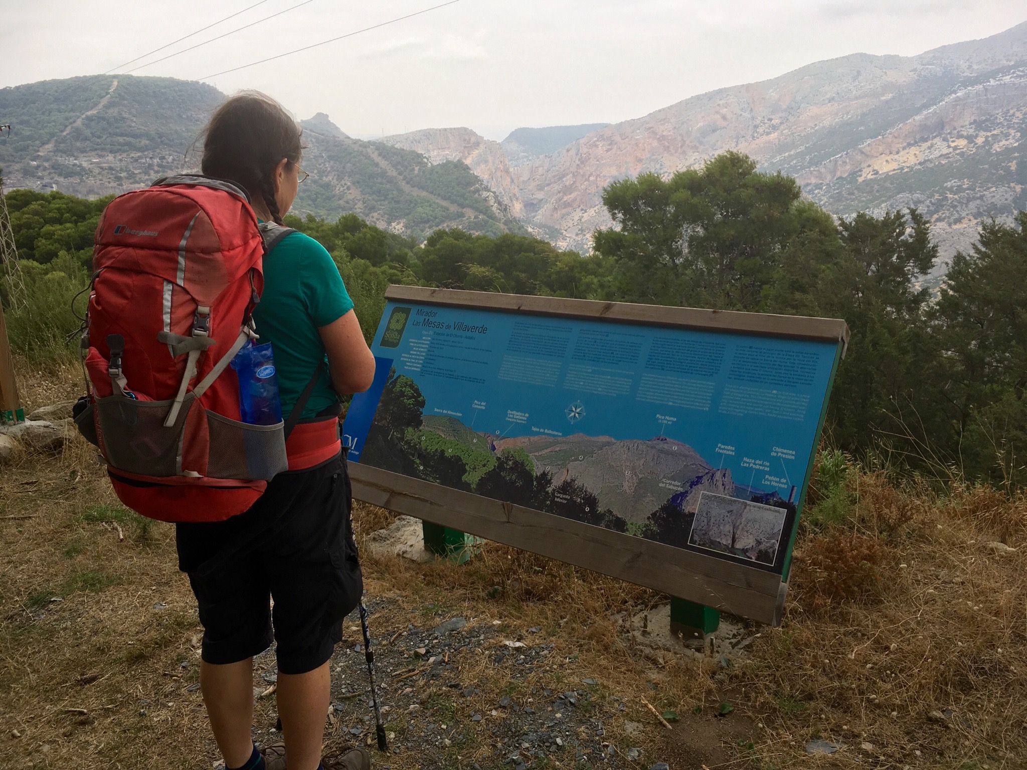
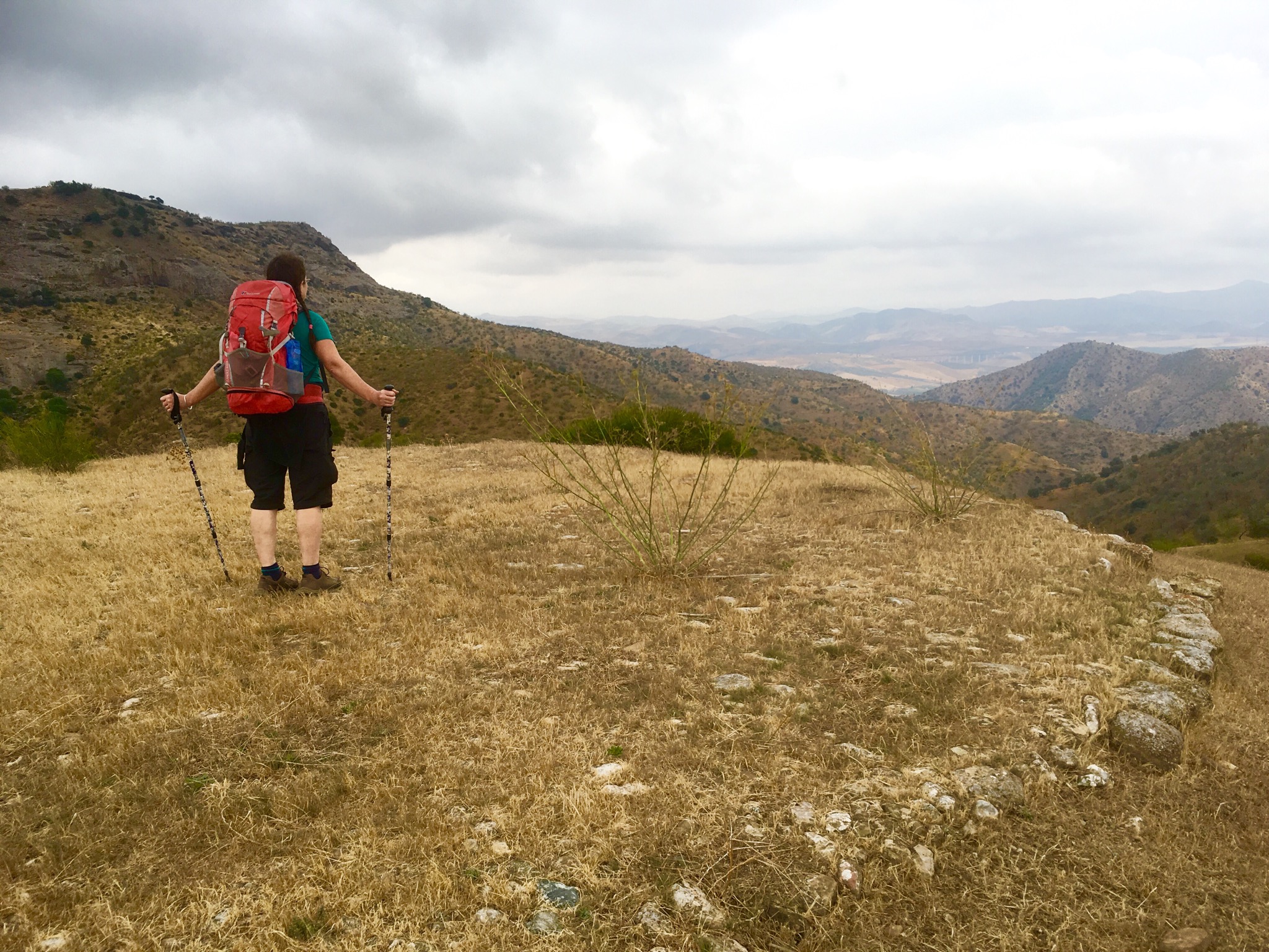
We were now on a high plateau with extensive views over the surrounding Sierra , a landscape of pine trees and herbs which supplied a glorious scented background to our walk.
After a couple of km along a forest track along the ridge we joined the Tarmac road that serviced the high reservoir briefly and passed by the entrance steps up to the 9 / 10th century fort of Bobastro.

This was where the Mozarab rebels led by Omar Ibn Hafsun hung out and built an impressive citadel complete with this church and subterranean cemetery.

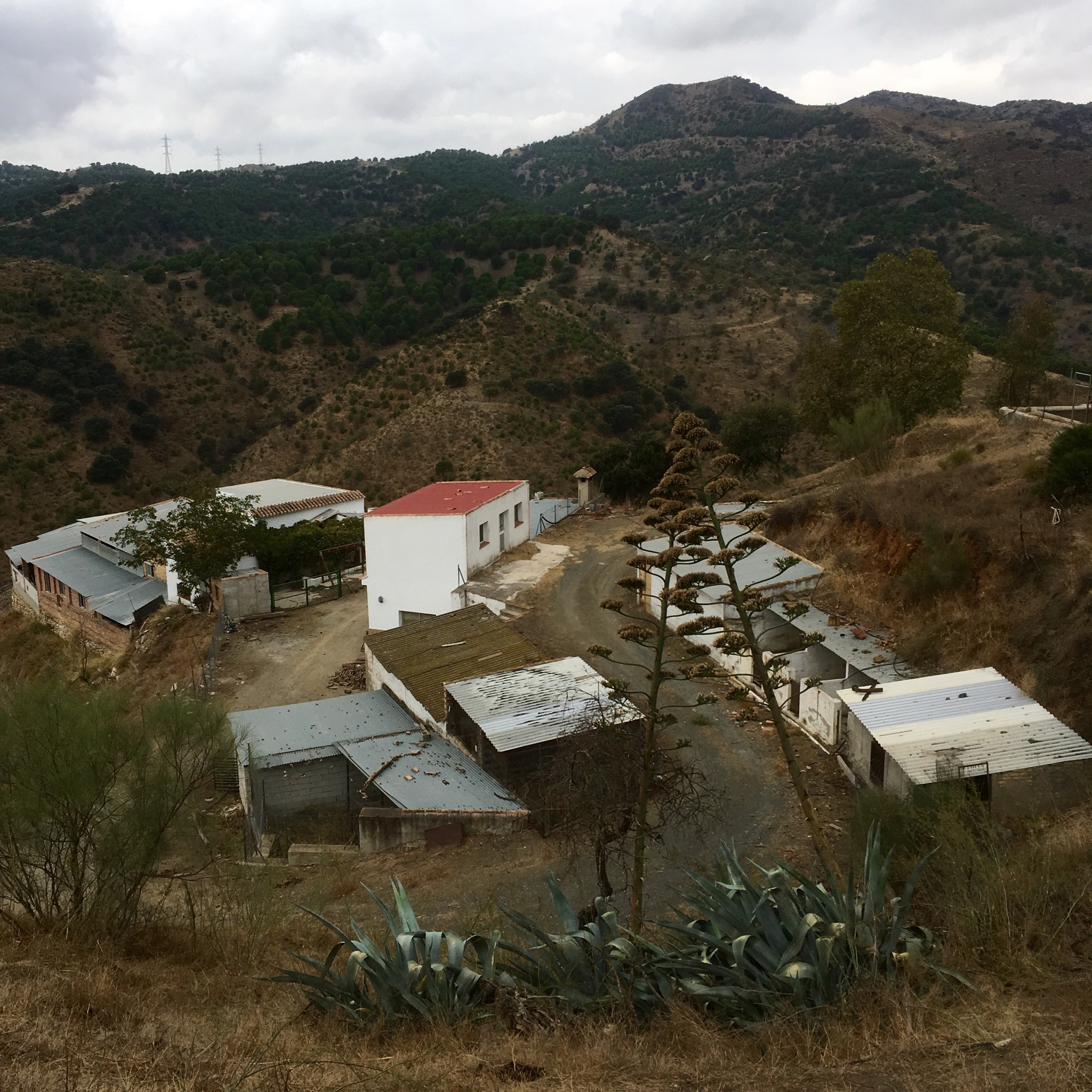
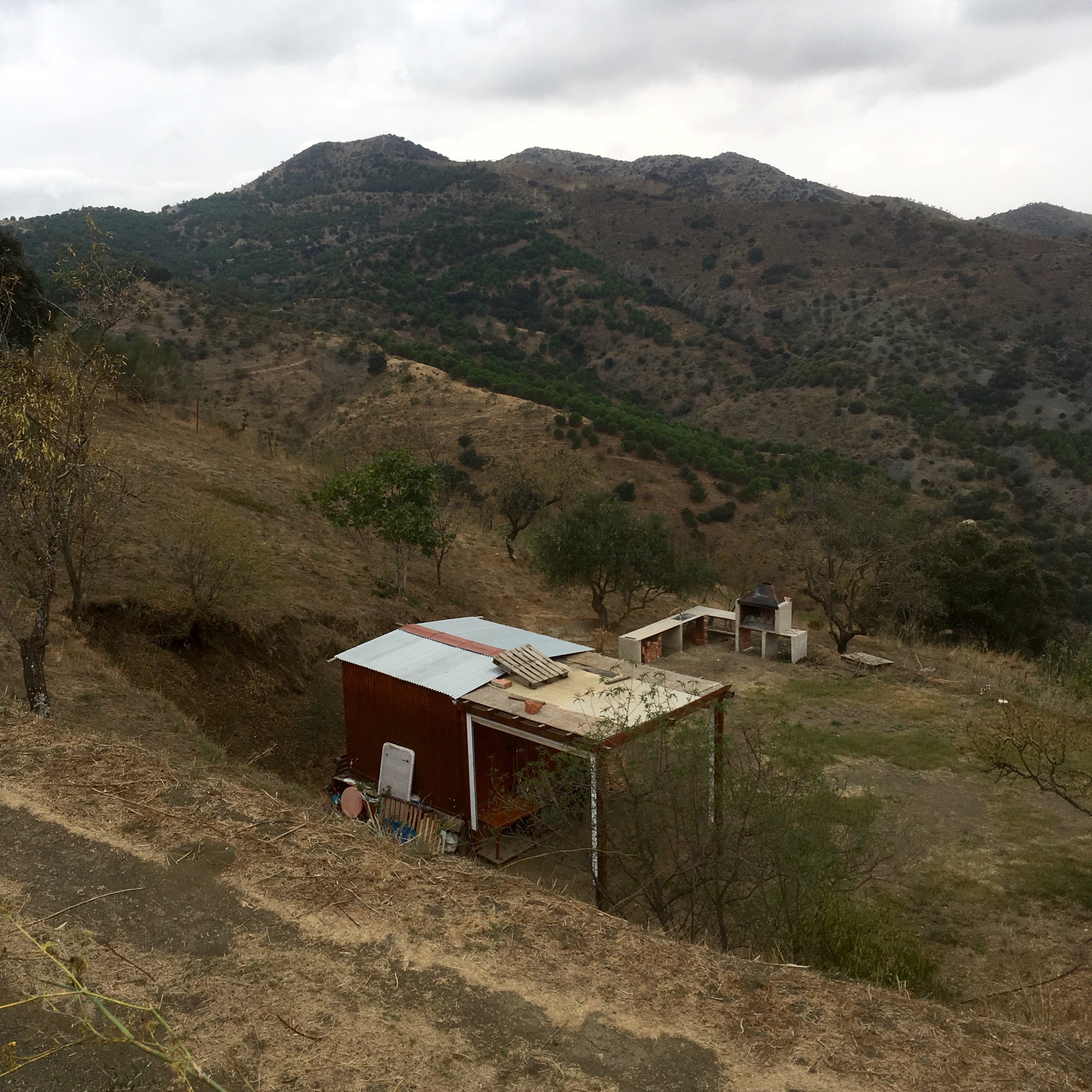
Off on tracks again the next couple of hours took us across an empty quarter of sparsely populated farmland of sheep and grain ,now mostly within a Natural Paraje or park. There were a few tasteful finca to holiday home conversions but mostly simple farm worker ” navvyies” or houses surrounded by stock sheds.
The subsistence grain growers had left the old cobbled threshing grounds, or “eras” behind, for the few passers by to admire the view from.
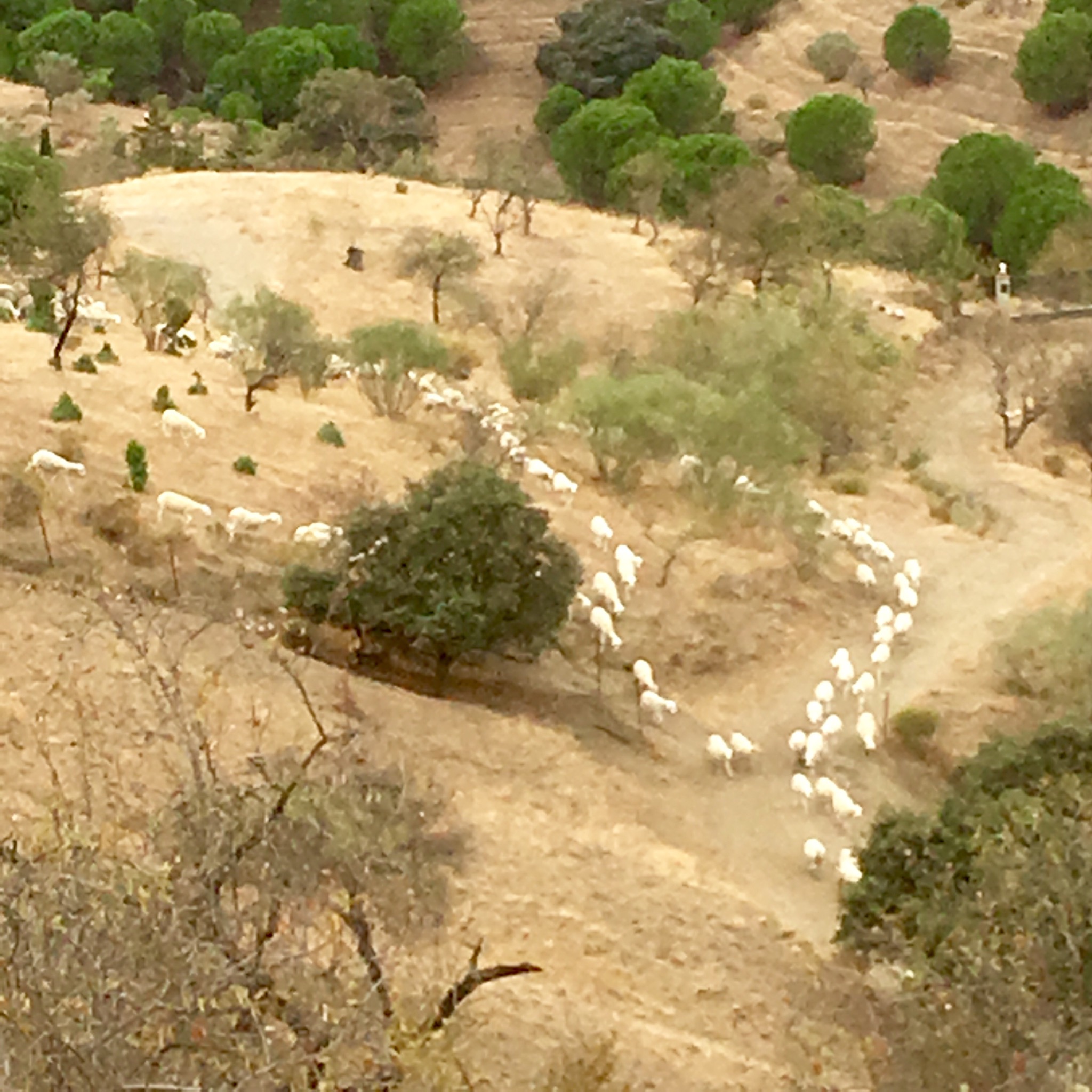
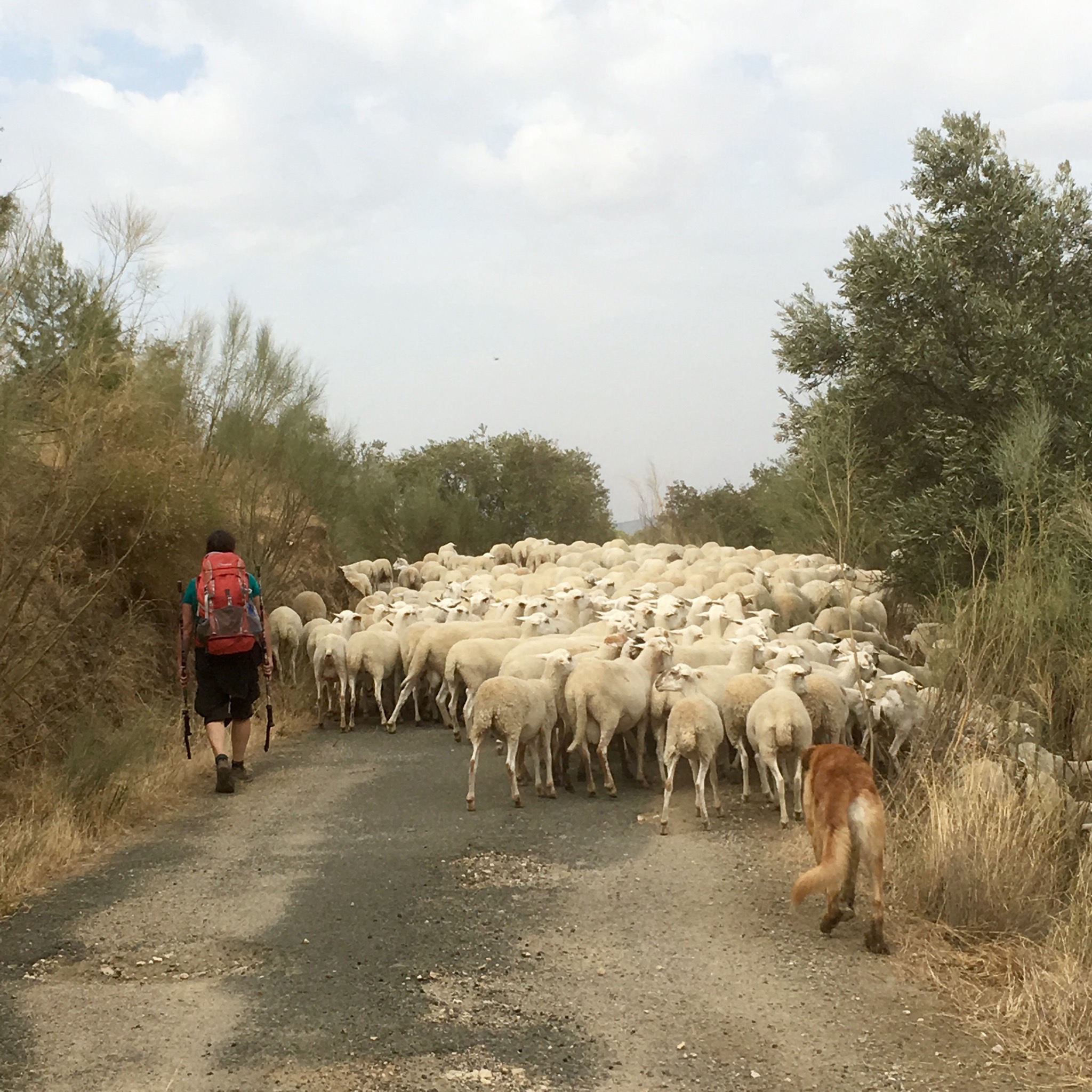
The ringing of bells heralded a large flock of sheep minded by dog and man.

A little earlier we had passed a long water trough with an elaborate welded cage around it and been puzzled.
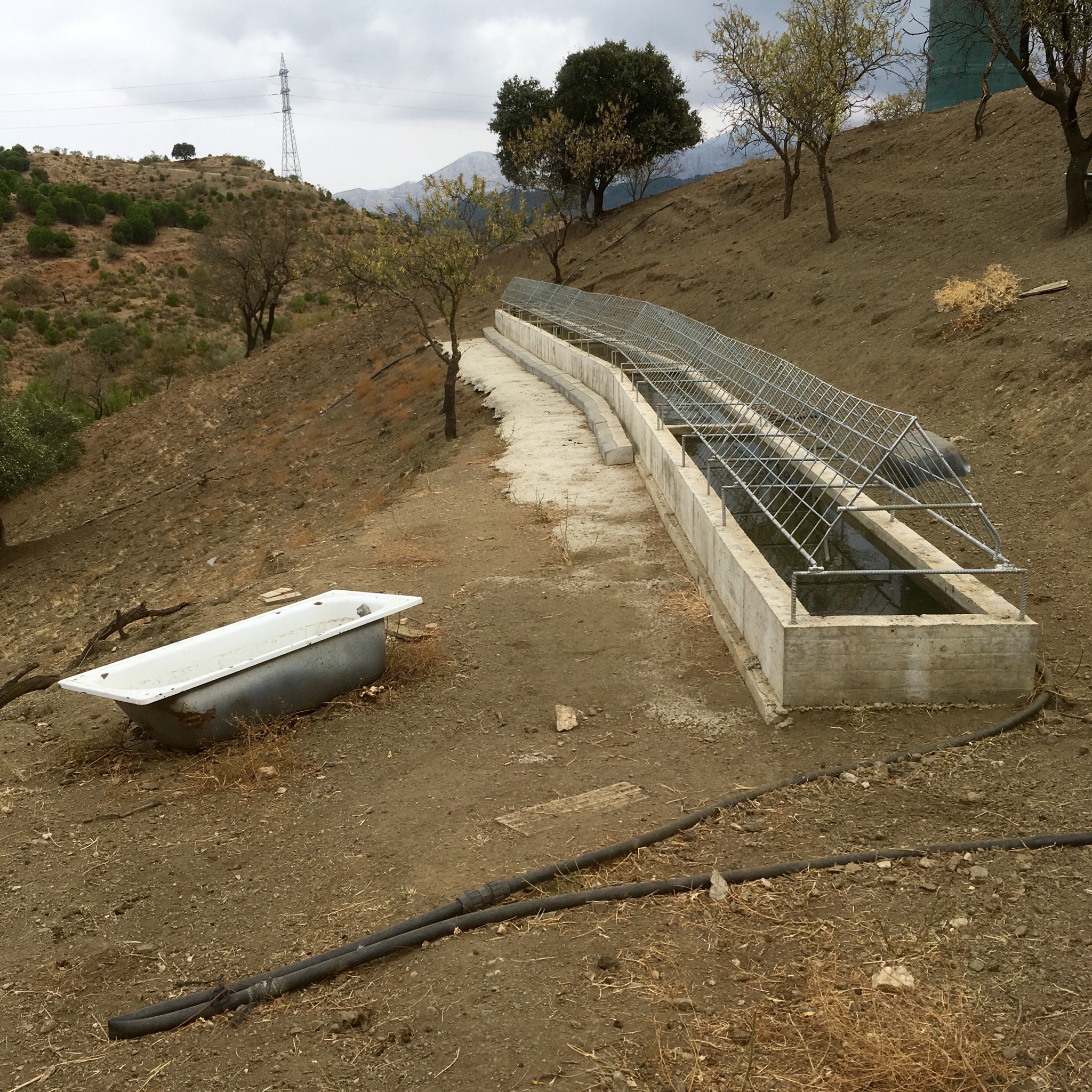
Looking back as the flock surrounded it we could see it was to allow the sheep to drink without climbing in and fouling the water.
Another flock was being minded by a large but mild mannered dog who seemed to let them wander at will.

The last 4 km were downhill through open country until Ardales came into view on the other side of a busy road.

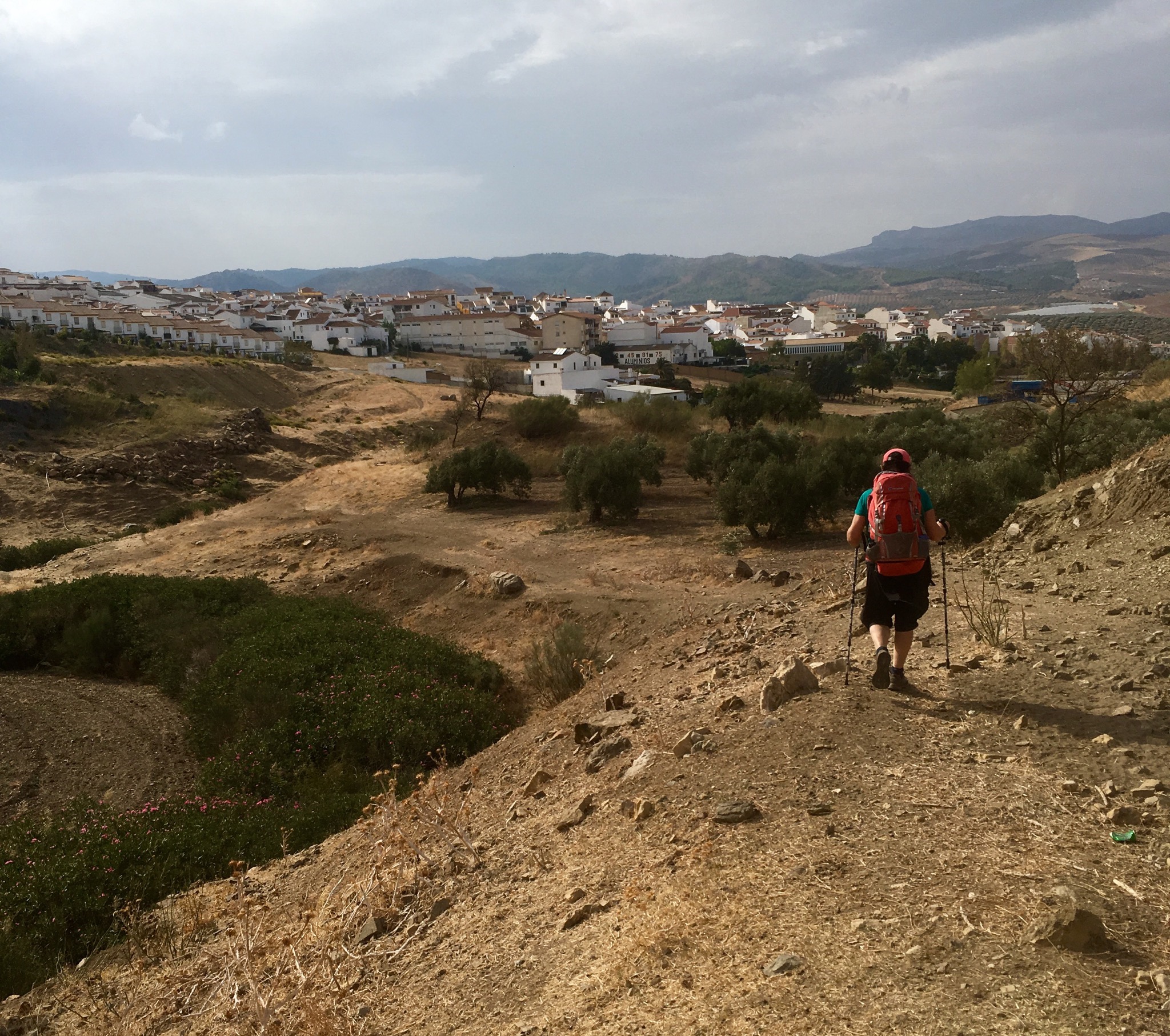
We found the stage end and sign board for the next leg and bought the makings of a huge tuna salad to fortify ourselves for the following day.
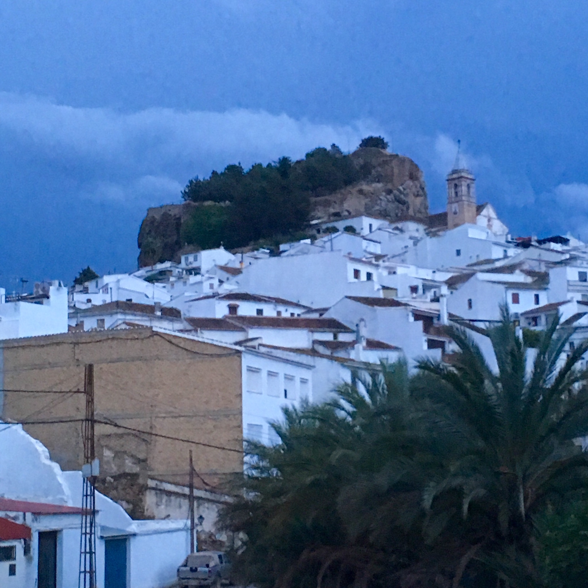
The night was full of thunder and rain and , as forecast, the next day dawned drizzly under leaden skies. We dressed for rain and headed out under the ancient hill top castle and down to the Roman bridge over the Rio Turon.

Fair play to the Roman builders, that bridge has been carrying traffic for 2000 years.

We now had 10 km of ascent ahead, taking us from 350 m to 820m. As we climbed, the view back over the mountains we had climbed from El Chorro was of darkness and light, with white clouds rising from the gorge.

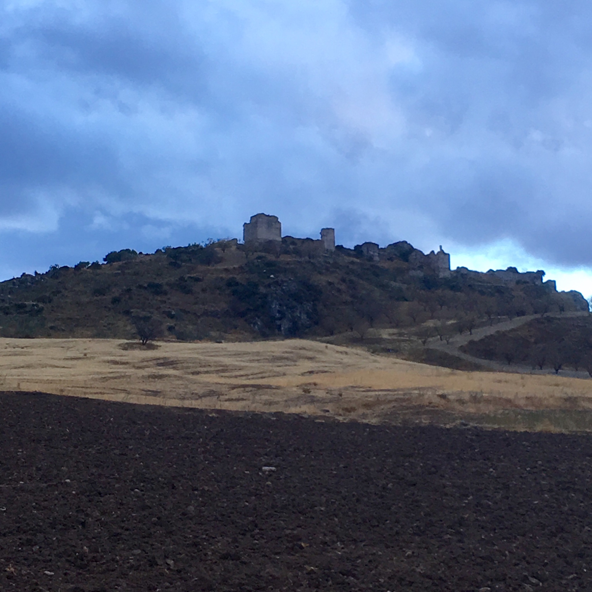
Atop of the first ridge was a medieval fortress from the war between Granada and Seville kingdoms.
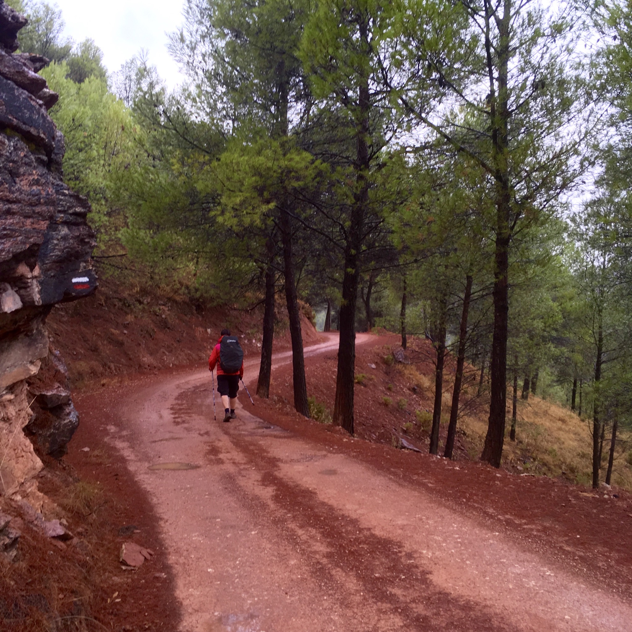
We climbed up into the vast public forest, 1000’s of hectares planted to help with erosion and as an amenity, although this is a little known and remote area- we saw no one all day.

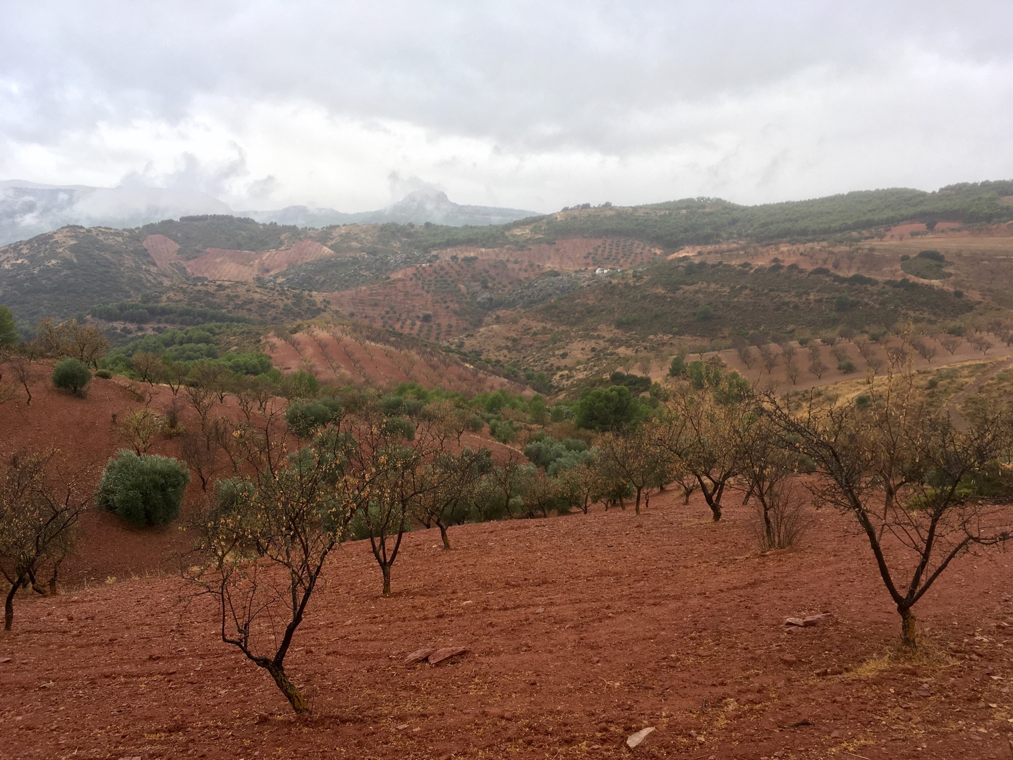
The rain started to come down relentlessly although the trees gave us some respite for a few hours until we reached more open ground of deep soiled mixed crop farmland. Luckily, at more or less the same time the rain became drizzle, then stopped, and then the sun came out for awhile and we stopped to dry out.

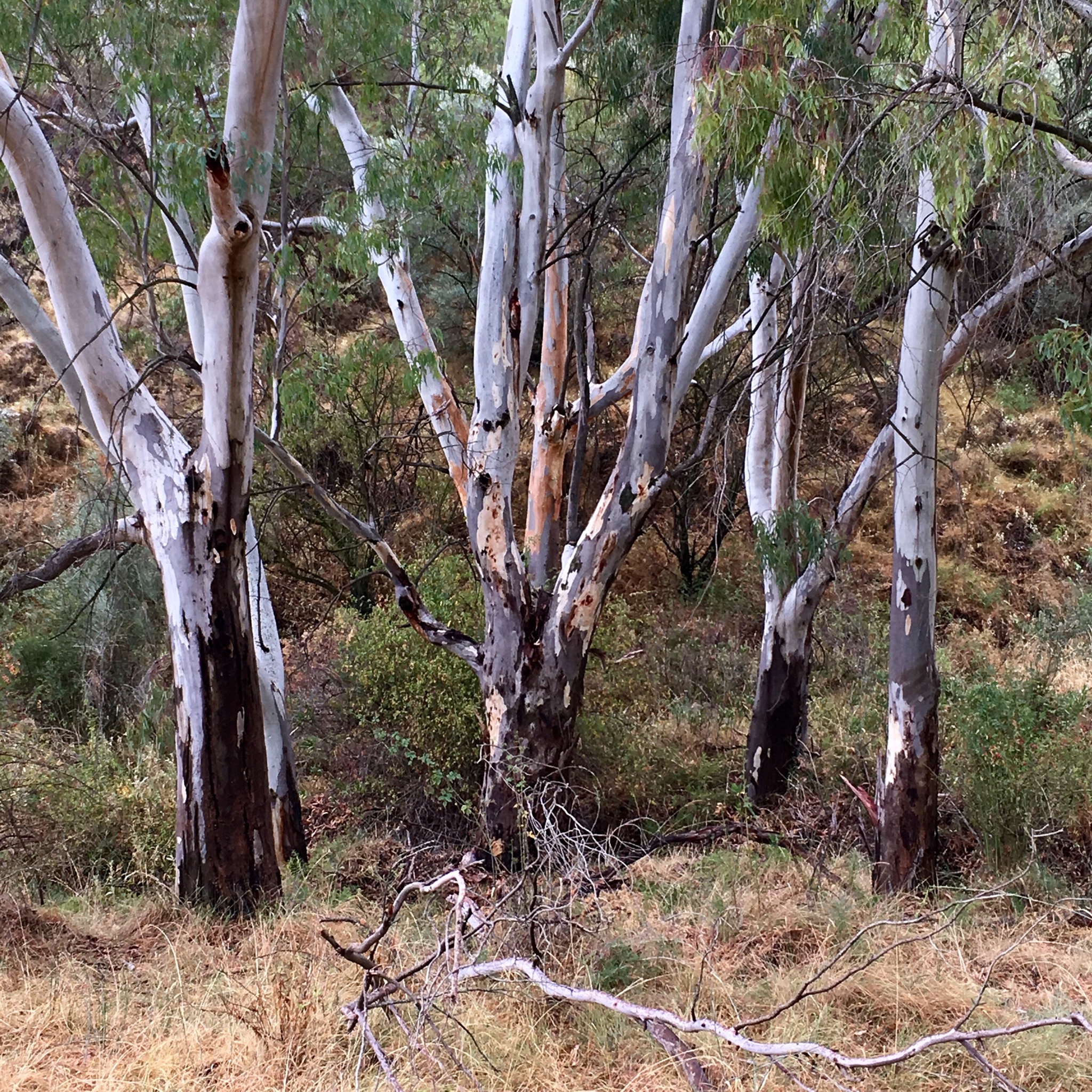
A long line of bee hives were laid out next to the track and a copse of fine eucalyptus soaked up the rain from the arroyo.

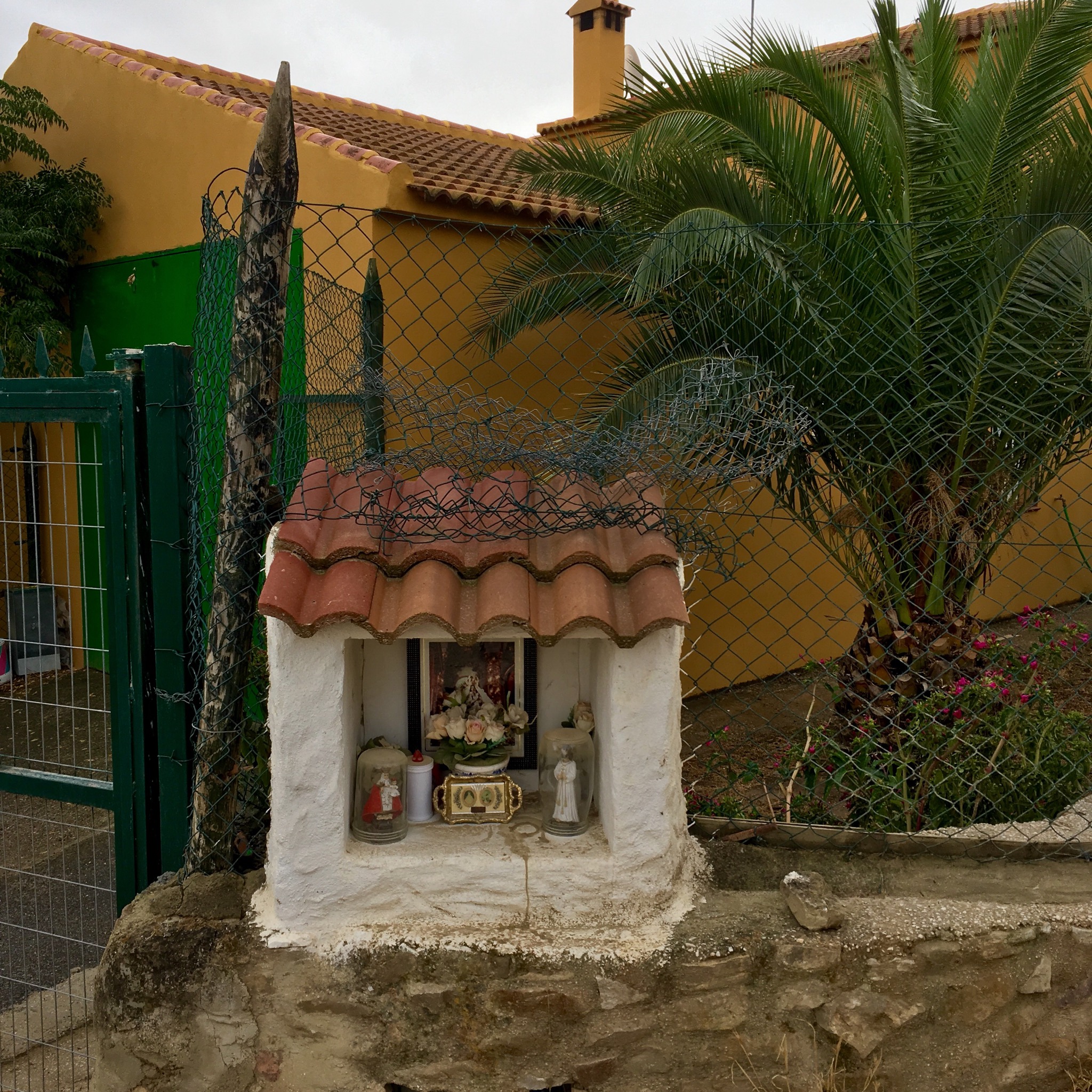
We were now back down to Rio Turon level. While the river had meandered its way through the mountains we had gone over them. As we neared the town we passed the fertile riverside gardens and a little shrine to the saints
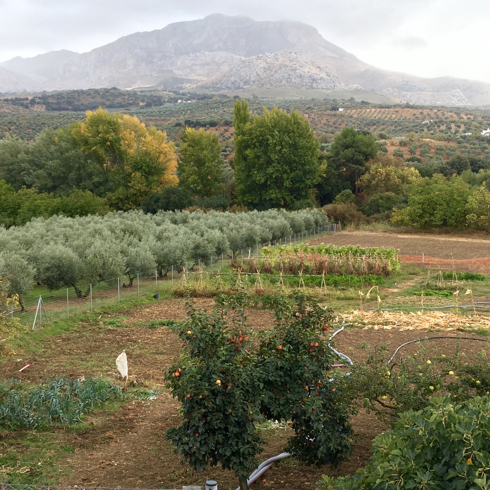
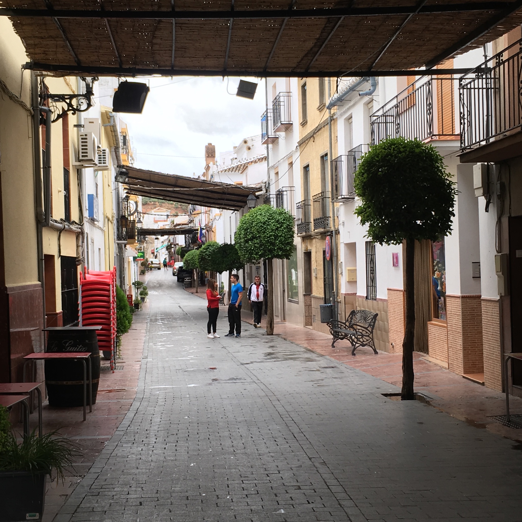
And finally, still pretty wet, a couple of km further than expected was El Burgo with its welcoming streets and hot shower.
The cloud is well down again and tomorrow we have to climb, over 25 km, up to 1160m and back. So I really hope the forecast is right and we can stay dry.
But now some internal liquid is required.

I think that shot of the conglomerate will be used for teaching (fully attributed to the rambling man of course), ta!
LikeLike
Pleasure Milo. I’m available for all rock type photo commissions anywhere.
LikeLike