Seems like a long time since we were walking the Camino Mozarabe under a blue Spanish sky. Longtime lockdown under the Covid curfew. We left Spain just as the shutters came down and were blessed with acres of homestead gardens to work and rest in under a blue Irish sky for weeks as a hush fell over the world. As a cautious emerging of people began to take place so the clouds also started to gather and by the time we were able to leave the county the summer had settled into the rainy season.
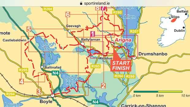
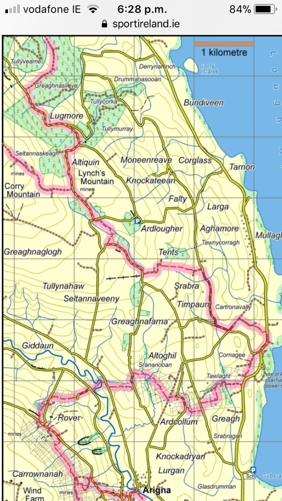
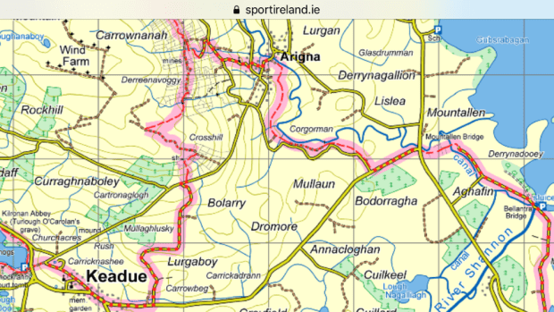
But a change of surroundings was needed along with a kickstart to a much needed fitness programme and trial of our new homemade lightweight 2 person tent. And so it was that we arrived on the shores of Lough Meelagh on the outskirts of Keadew, Co Roscommon to embark on a trail I had long had on my “to do ” list. The Miners Way and Historical Trail is a complex shaped figure of eight with “wings” to surrounding towns and the Leitrim Way and the Beara Brefne Way. It’s “officially” 118km but many hikers would reckon it’s much more. Our circular route without wings or connections came in at 110 km over 5 days.
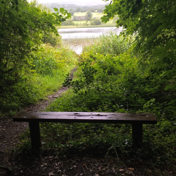
Our first day was from Keadew to Lough Key forest park. 28 km

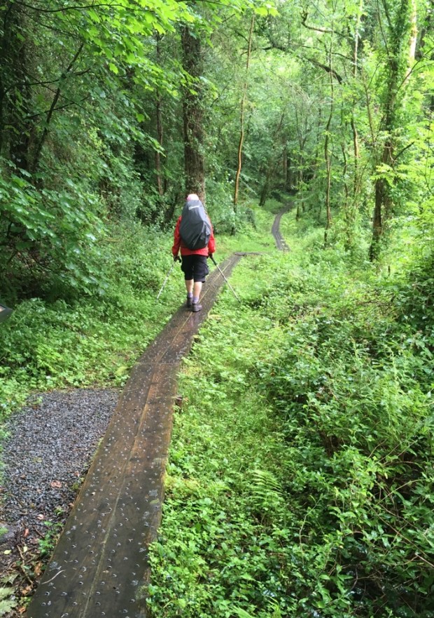
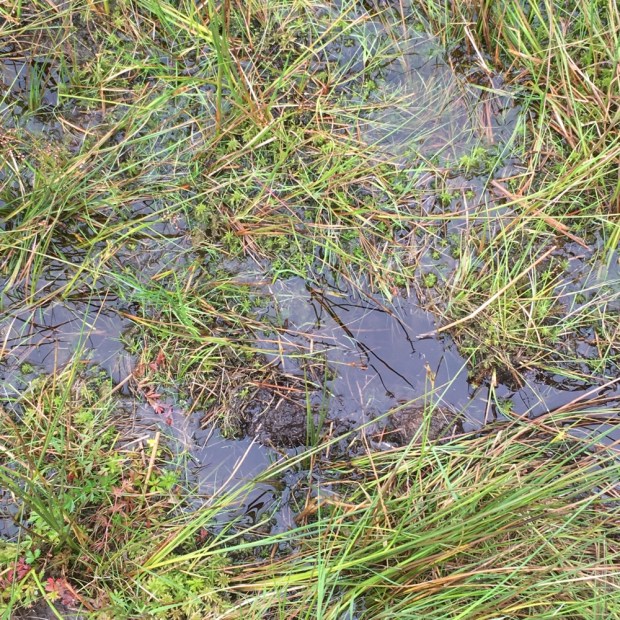
It was a ” fine soft day” as we entered Knockranny Woods, sharing our route with a nature trail to the Neolithic court tomb. We were immediately impressed with the amount of staple studded boardwalks erected to keep us out of the slop.
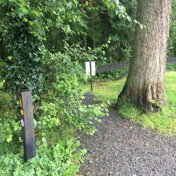
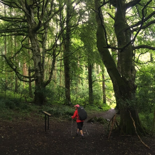
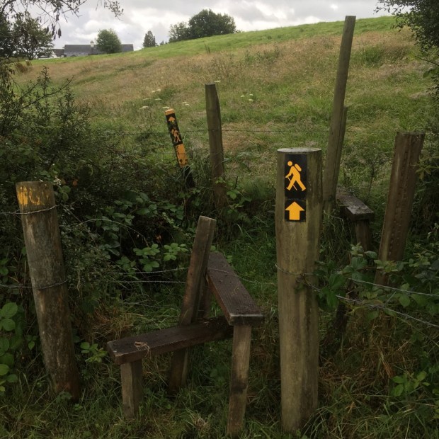
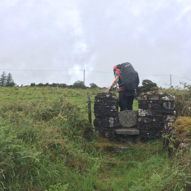
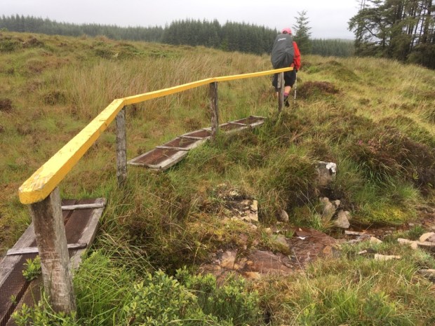
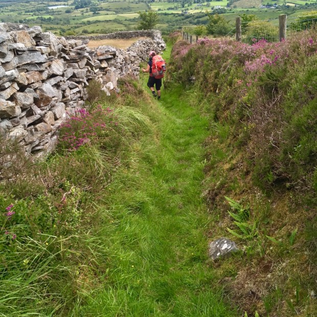
The whole trail was to impress us with its signage, stiles of many styles, wooden and metal bridges, strimmed and mown grass, general waymarking and above all- access over farmland and open mountain. A lot of people have been caring for it and thanks for that.
The woods were fully formed with many mature specimens. It seemed that the historical estates in the area had bequeathed a wealth of woodland.

The first half of our trip, the first two and a half days, would be spent on the Historical Trail with another couple of days continuing on the Miners Way, bringing us back to Keadew via the iron and coal mining areas around Arigna. The closure of the mines in 1990 had led to the development of the trail in an attempt to encourage tourism to the area. And we felt it was a beautiful but neglected landscape deserving of more visitors, with a wealth of rivers and lakes and varied upland and mountainous terrain.

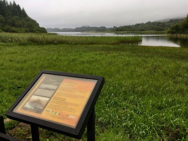
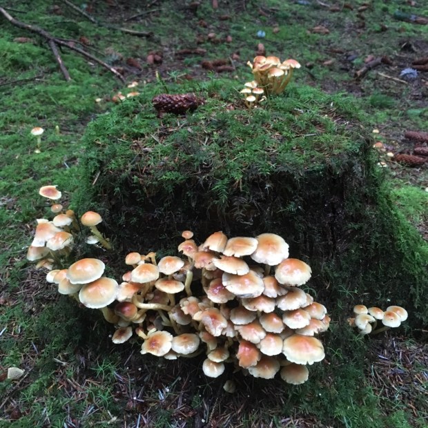
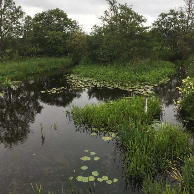
After walking the southern shoreline of Lough Meelagh we reentered a mossy and mushroom rich woodland for awhile before a quick change succession of quiet backroad and rushy field sections led us down to Knockvicar where we had lunch beside the River Boyle which takes leisure boats from Carrick on Shannon to Lough Key.


We had a look around the Knockvicar Organic Garden with its welcoming orchard and displays of fruit and veg and flowers. It shows what can be done with 10 polytunnels on a very small space. They also run training courses and offer a gardening service.
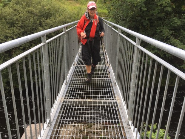
There was a “Trail Closed Today” sign ( which has been there for at least 3 years!) owing to some ongoing land dispute and we were sent on a detour on a bogside track and through thick scrub woodland before emerging onto the lanes leading into the forest park over the “fairy bridge”.


We were weary by the time we reached the epicenter of the park with many staycationers strolling, cycling, picnicking and boating. There was a camping and caravan park but only catering for those self sufficient in bathrooms, toilets and kitchens so we moved on looking for a wild camping site affording some shelter from the rain.
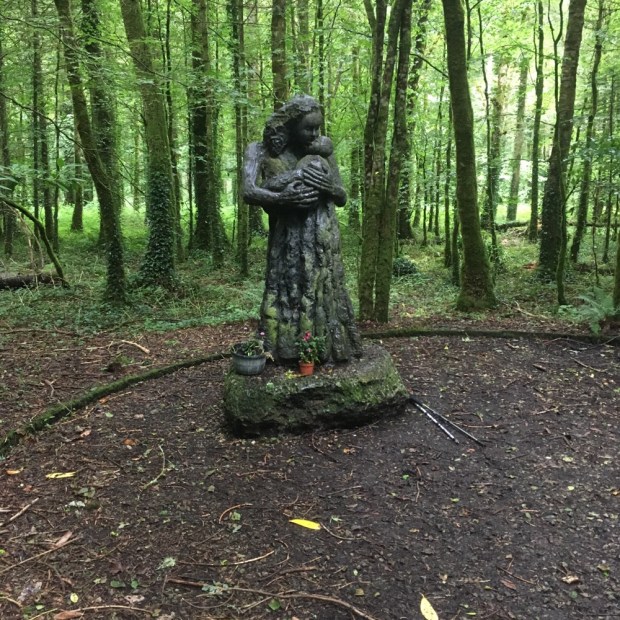
Sally fancied setting up next to the mysterious mother and child statue but the ground was too peg resistant. I couldn’t find out anything about the sculpture other than it was by Jaqueline Duigan of whom the National Visual Arts Libary says ” virtually no information is available on this artist”.
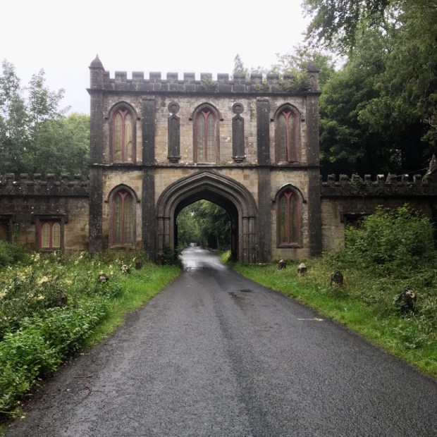
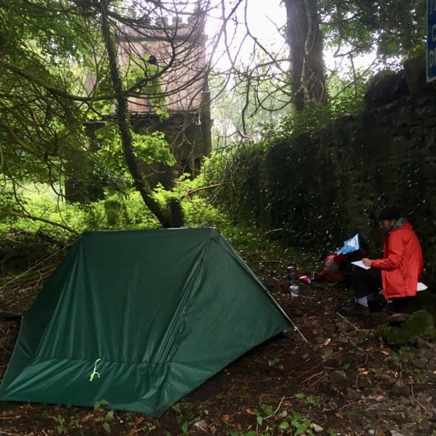
We ended up a little further down the trail, behind the Nash designed gate house to the Rockingham Lough Key estate. A wet and windy night was promised and we were well sheltered by trees and Nash’s wall.
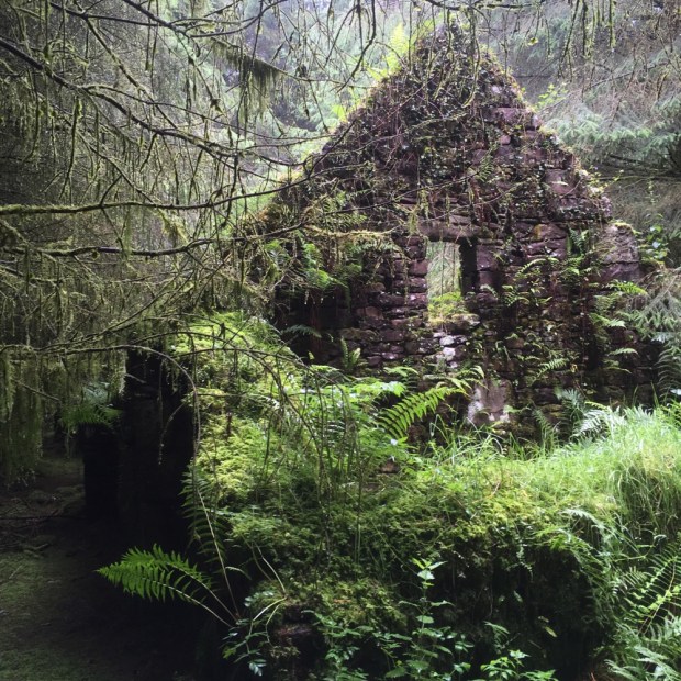
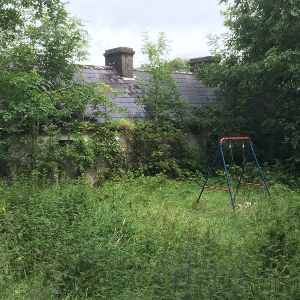
Quickly into Boyle in the morning under a leaden sky that released its watery payload sporadically as we bought supplies and miraculously found a seamstress to mend my packs shoulder strap for under a fiver. Then a long climb up into the Curlew Mountains. After about 3 km of road we headed cross country on the ancient Red Earls road past the site of his 1599 ” Battle of the Curlews”. It was soggy going across the boggy moorland and into a block of forestry where we stumbled upon a 2 story stonebuilt farmhouse subsumed by the trees.


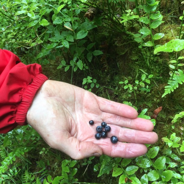
There was a lot of mushrooms and bilberries available but we filled up on bread and cheese as the midges filled up on our blood and the drizzle cane and went. We stopped again after a few km of empty lane when a heavy shower had us sheltering in the shed of an abandoned farm cottage. With a swing in the garden and a cot in the cow shed it had a forlorn feeling of broken dreams.

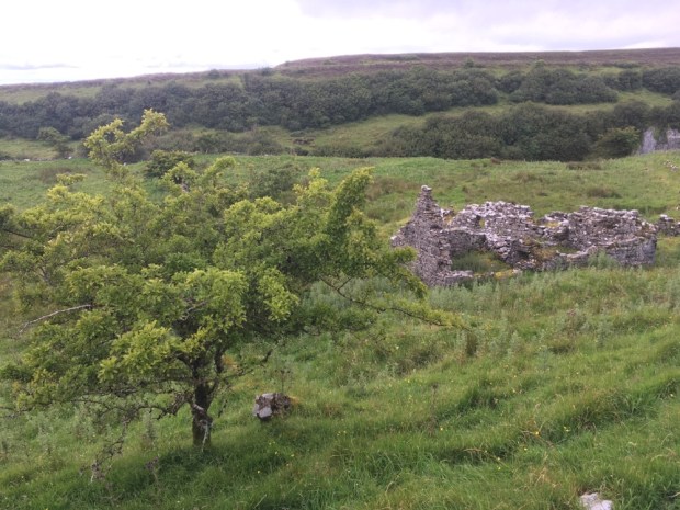
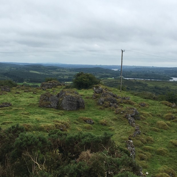
But ” things can only get better” and as the weather improved so did the surroundings as we came down out of the saturated Curlew and up into the dramatic karst landscape of the limestone Bricklieve mountains. A tarmac and gravel track turned into a grassy boreen and finally a narrow wall lined path, past beautifully located abandoned farms and cottages with mighty views down to Lough Arrow and Lough Key with the Plains of Boyle beyond. We climbed alongside and then crossed a narrow u shaped valley, the Devils Bite, before joining a disused bog track heading northwest towards the Carrowkeel passage tombs.


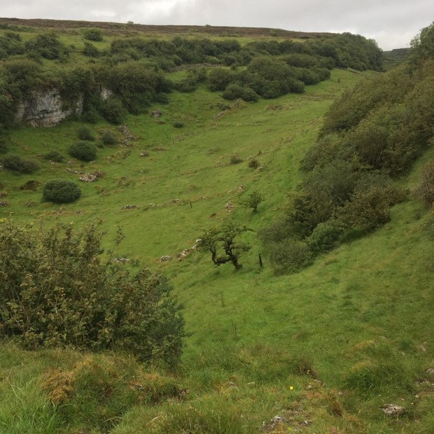

We had crossed into Sligo and Carrowkeel Neolithic cemetery with 14 five thousand year old passage tombs was just one of the very many impressive archeological/sacred sites in the area. Our friend was meeting us at the bottom of the access track so we didn’t have time to explore but the Bricklieves had instilled a desire to return for further ramblings.
22km done we were very happy to be transported to our friends house for a night of good food, drink, company, warmth and sleep and a lift back to the trail at Castlebaldwin in the morning for the next 22km leg.

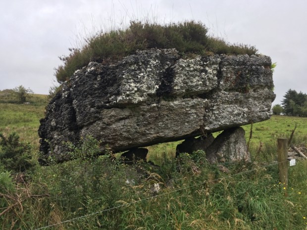
We kept a close eye on the clouds as they rose and fell over Carrowkeel making our way on a mix of road and field around the top of Lough Arrow, over the river leaving it to the north and up past the abandoned Cromlech Lodge hotel, once prosperous enough to warrant a helicopter pad, to the Labby Stone- Ireland’s second largest portal tomb.

Another change in the landscape and we hiked mown paths across fields and up onto the Plain of the Pillars a reference to the 14 megalithic monuments in the area. It’s a place of glacial drumlins formed in groups known as “swarms” for some reason. We had lunch at a trig point at 226m overlooking Lough Arrow and a land inhabited for thousands of years, and left with a mass of reminders of their passing including a rich concentration of ancient saunas or sweat houses.

In recent years many inhabitants have deserted the land hereabouts and we past many homesteads slowly returning to the earth. Another downpour was avoided by resting up in a hay barn where we took the tea in comfort.

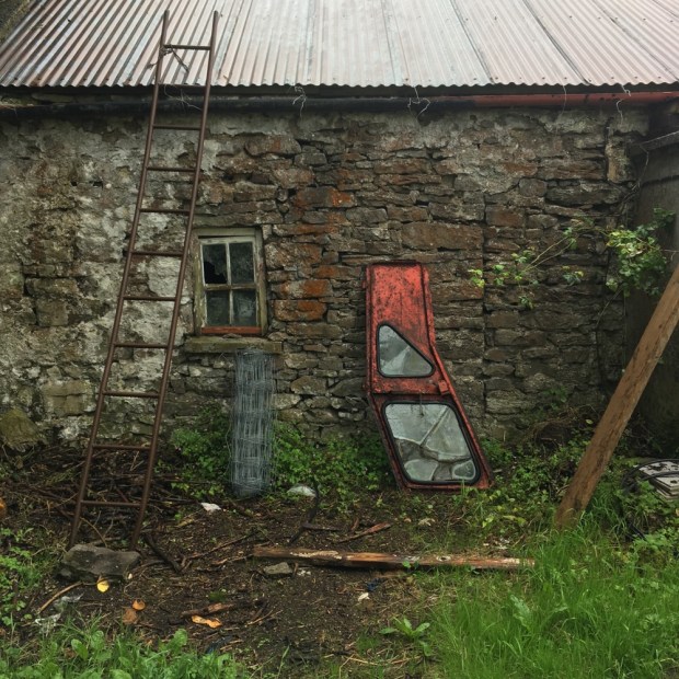
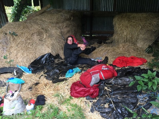
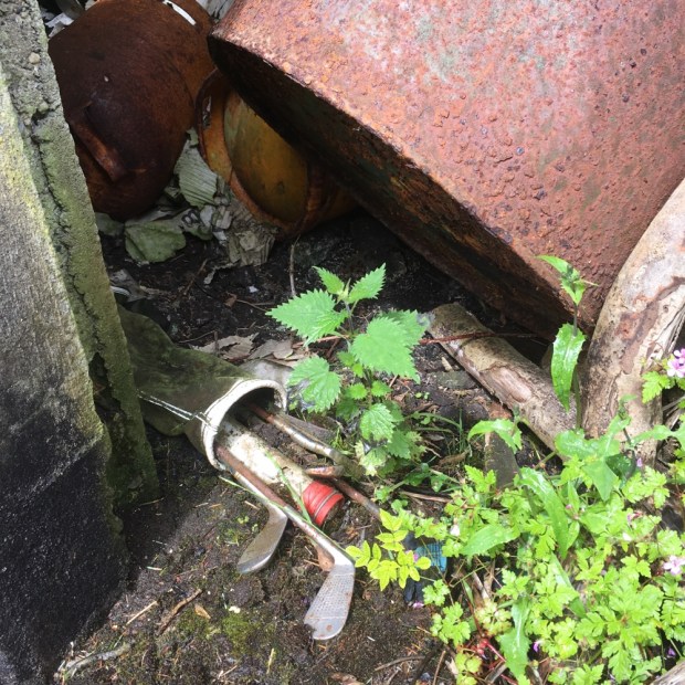
Settling off again under heavy dark skies over the rushing river Feorish we were on the look out for a camping spot. Nothing suitable found we asked a farmer if we could erect our tent in his hay shed. He said he had a better,less exposed option for us- the old home place cottage- and directed us toward it. It proved to be completely buried under vegetation outside and junk and rubbish inside, so bad that the damp and dark cowshed next door was preferable.


We did a fine job of fixing it up a treat and settled in for the night. Not everyone’s idea of glamping but we have modest needs!
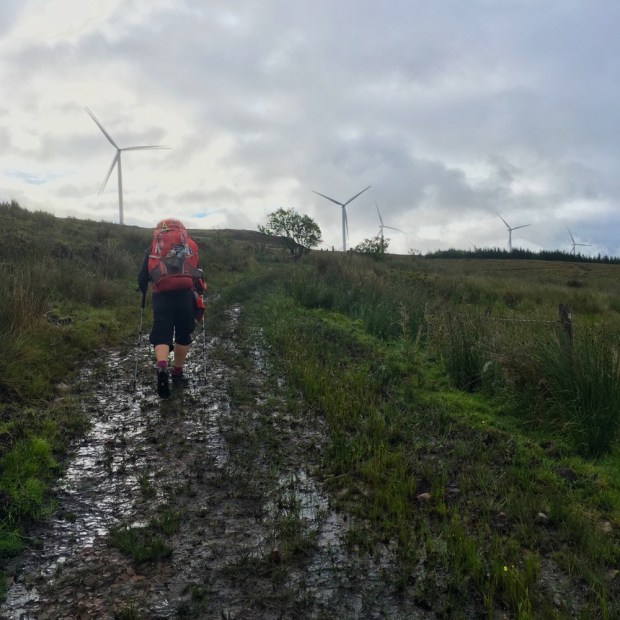
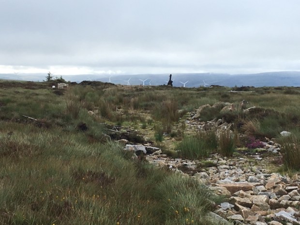
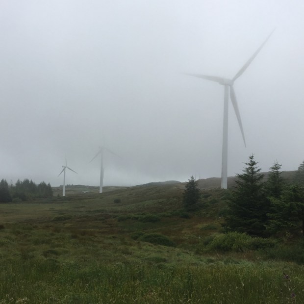
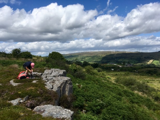
Still misty and moisty next morning as we started another 22km leg by following an old miners track up towards the wind farm atop Carrane Hill. We had switched on to the Miners Way and the hills here were littered with old coal mines. 
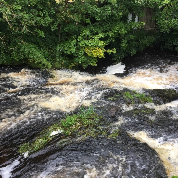
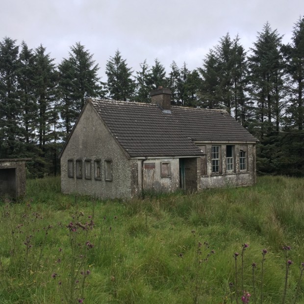
Down into The Glen, a narrow valley between Carrane and Corry and Lynchs mountain where many miners had lived and whose children must have attended the school we passed on the way to the Arigna river.
 When we entered the forest things got tricky. Recent felling had left the track a quagmire of deep mud and muck. The waymarks disappeared and we were left floundering about through a section of clearfell attempting to find the bridge across the river. Not easy.

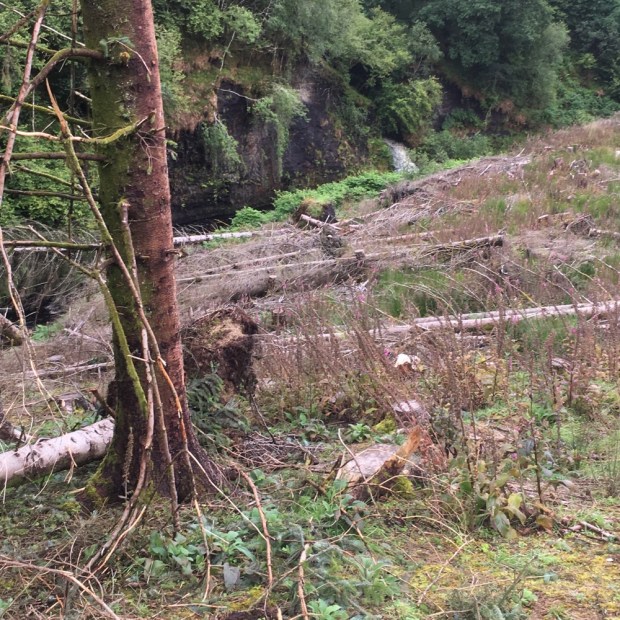
When we eventually managed to get to the road beyond the forest there was a “Trail closed today” sign! Looking online later I saw a notification on the closure due to felling dated 2018.
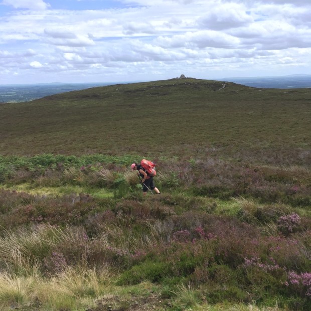
Onwards and upwards to the highest point of the whole trail at over 400m. By the time we reached the top ridge the rain was relentless and we were enveloped in cloud with no view to reward our efforts. Too wet to use the phones camera anyway we squelched on down below the cloud towards Lough Allen in Leitrim and the sanctuary of more friends and a place to dry out, warm up, and eat drink and be merry.


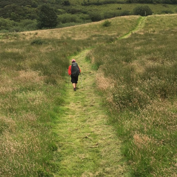
Our 5th and last day on the trail was a relief. Blue skies, sunshine and only 16 km over interesting and beautiful countryside to return us to our car.
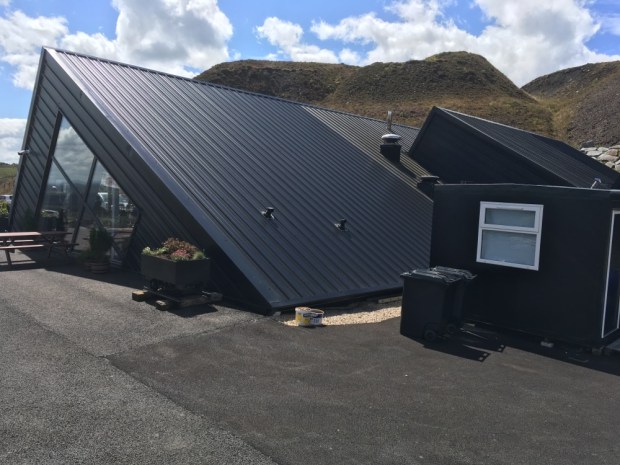
 A leisurely start after a lift to the trail and off over the stiles again and along the thoughtfully laid gravel paths across fields towards Arigna. The sunlit landscape made us appreciate the terrain we’d been through even more as we recrossed the Arigna river and returned to mine country stopping for lunch at the Mining Experience Centre’s restaurant.


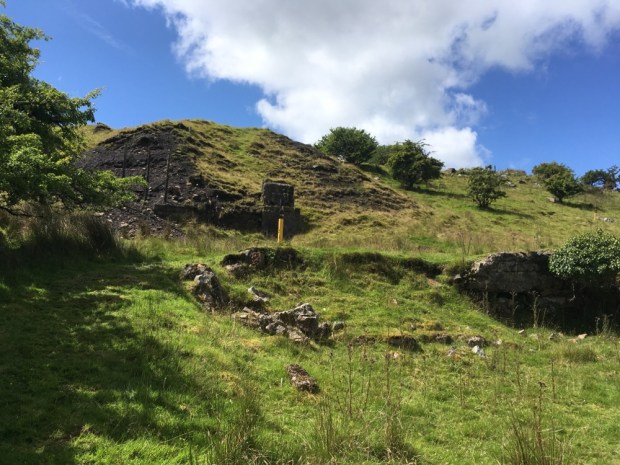
The final leg took us up over the flank of Kilronan mountain on ancient old miners tracks. They’ve been hacking away at the rock for over 400 years up there and it felt like we were following in the weary footsteps of generations.

A sunny final days hike was a lovely way to finish a much anticipated but sadly pretty washed out walk. We arrived back at our car by Lough Meelagh well satisfied and tempted to advise the strollers around Knockranny Woods to carry on ( and on and on and……….)

Well done you hardy souls….xx
LikeLike
Cheers Bill. Hope you’re all safe and sound. Big love. X
LikeLike
Amazing write up – well done.
LikeLike