Month: September 2021

NORTH MAYO: Woods and Moor, Bog and Shore

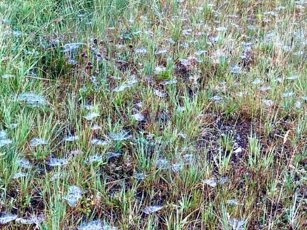
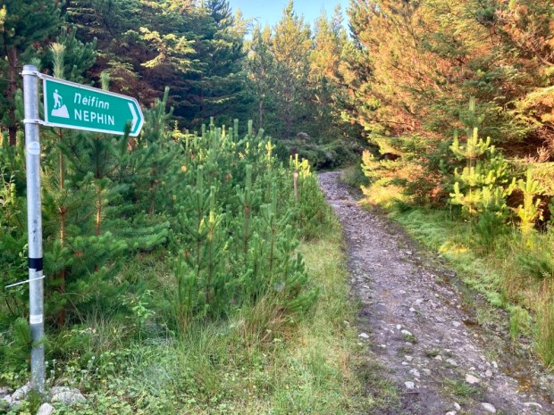
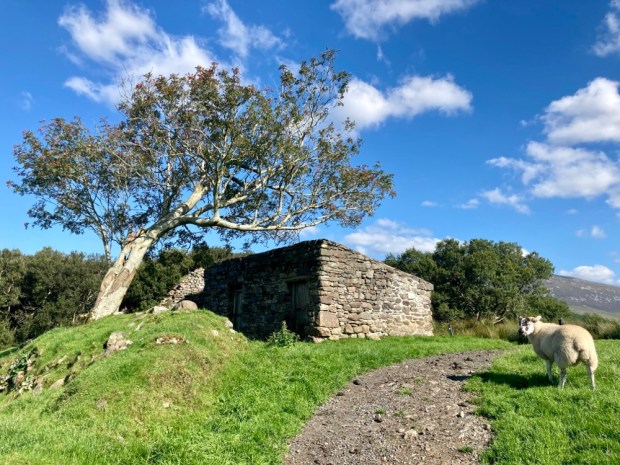
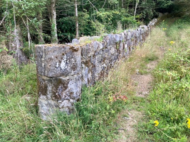
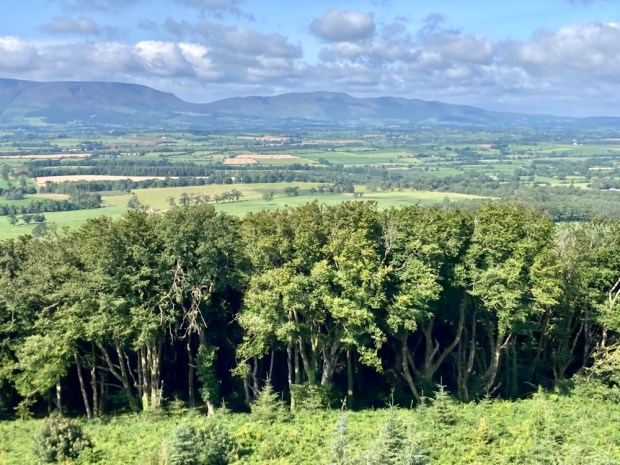
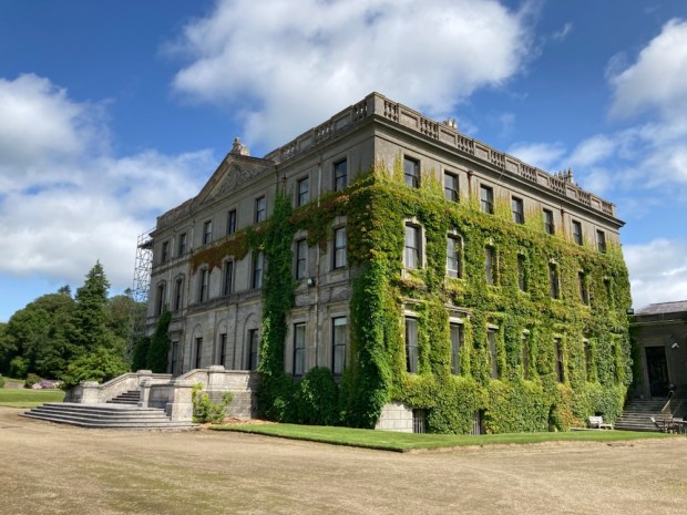
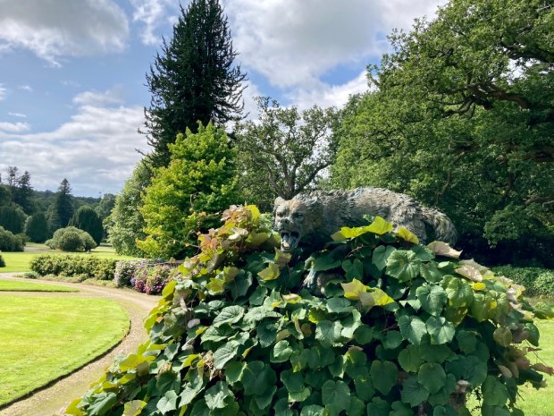
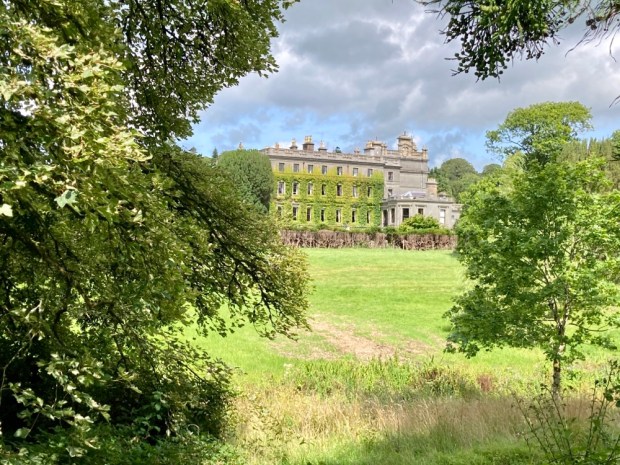
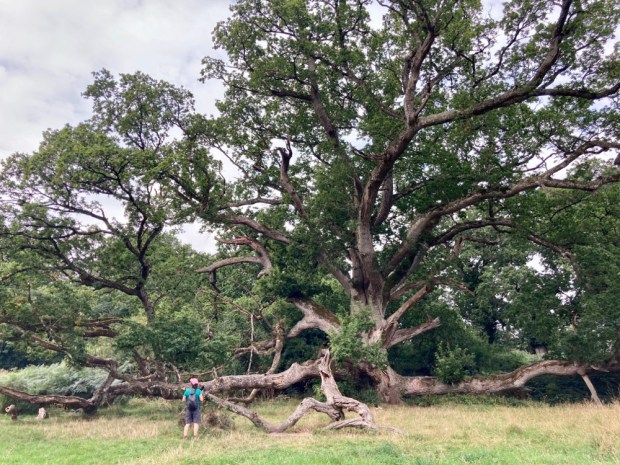
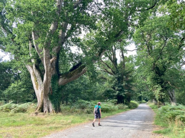
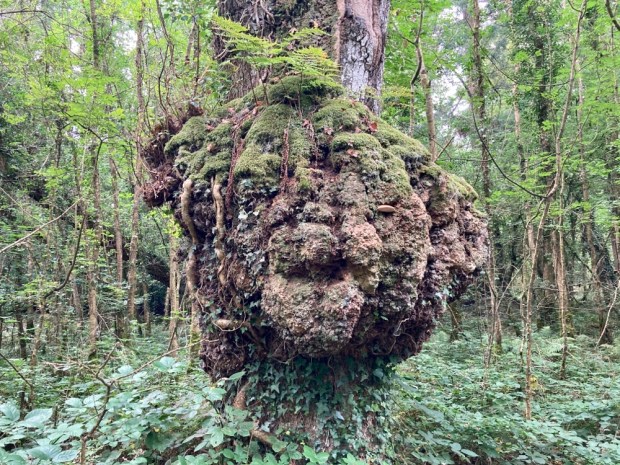
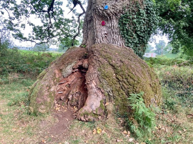
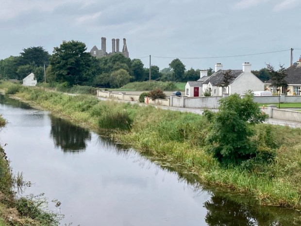
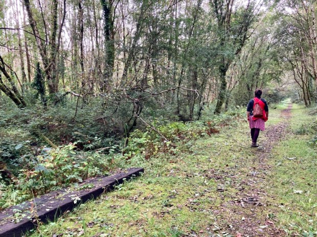
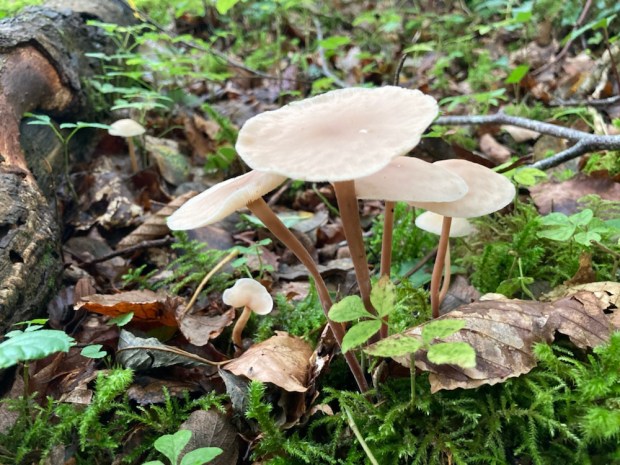
A couple of weeks after my last ramblings in the Nephin Wilderness Park we returned to Mayo, to explore the landscape to the north. We started by visiting Enniscoe House and its 3 km Woodland Loop. Actually we started in the Kaffa Coffee Cafe and museum in a converted outbuilding of the 18th century Georgian mansion before meandering around the walled ornamental and organic fruit and veg garden restored under the Great Gardens of Ireland Programme. It looked like Covid regulations or something had hit the upkeep of the gardens hard which was sad to see and we moved on to the woodland beyond the walls.

The gardens have been certified organic for over 25 years and other good things have been initiated here over decades. In 1993 10,000 sessile oaks, Ireland’s National Tree, were planted with help from the Tree Council ( and Mitsubishi) and the woods are part of a Neighbourwood Scheme to create local and community amenities for recreation in nature. They won the Forest Service Biodiversity award in 2013. It’s also an International Phenological Garden, one of 28 sites in Ireland that notes important dates in nature each year. Leafing, flowering, ripening and leaf fall etc- all important info- not least for the study of climate change.

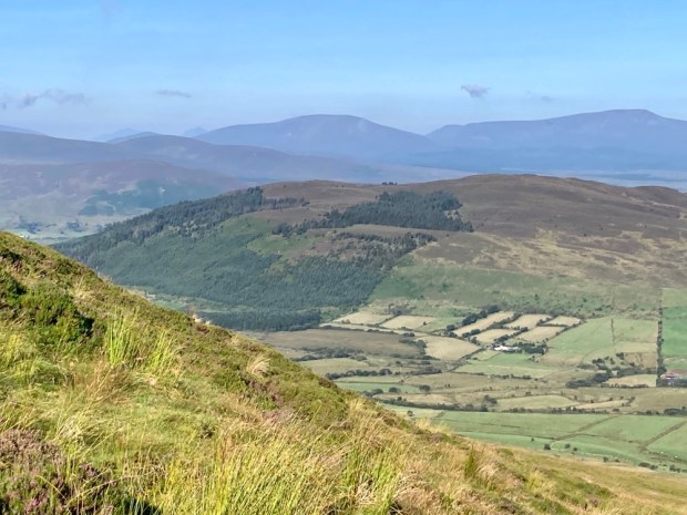
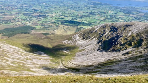
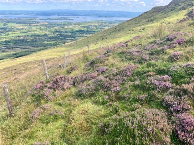
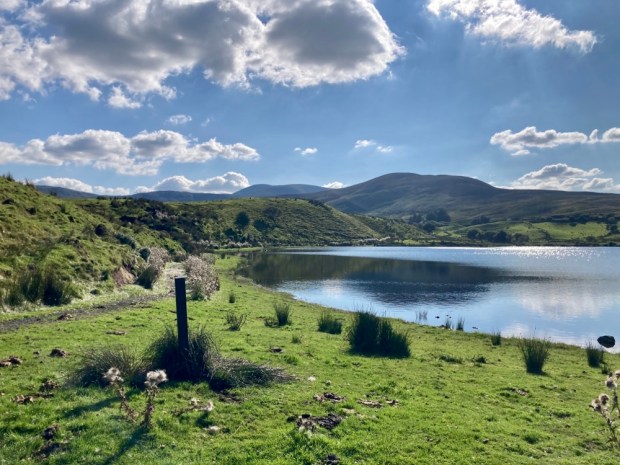
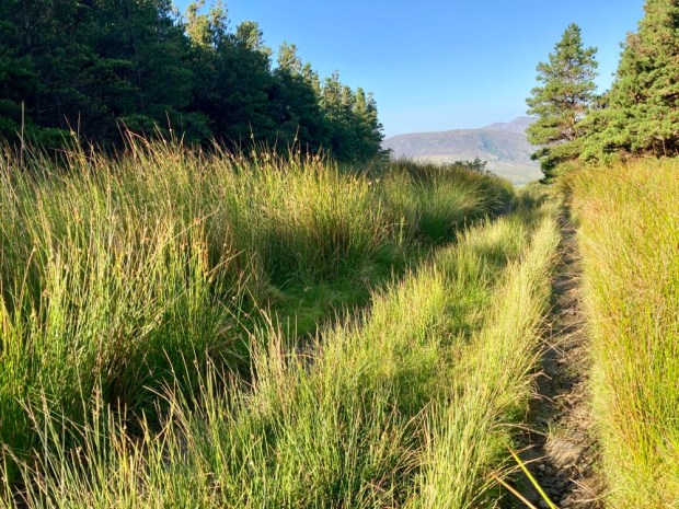
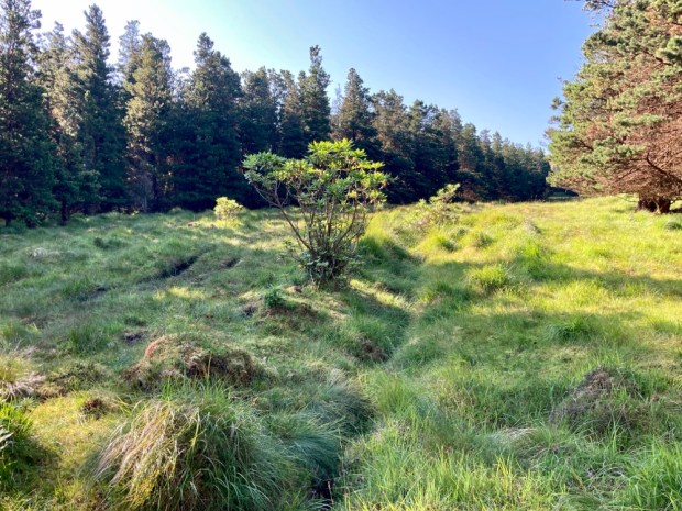
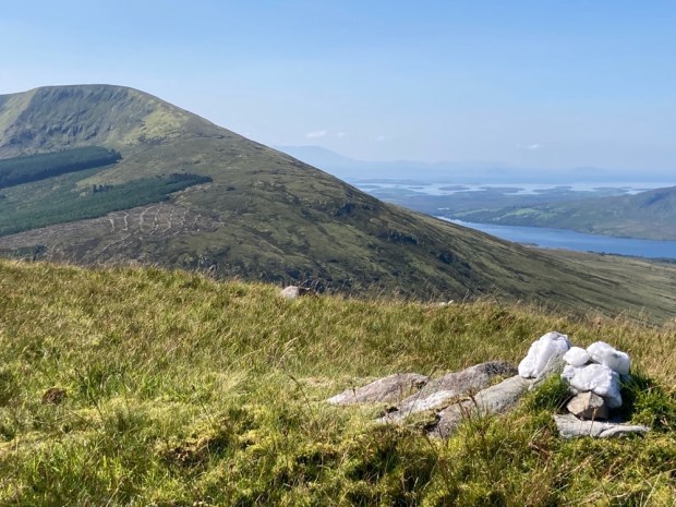
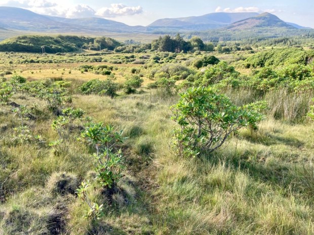
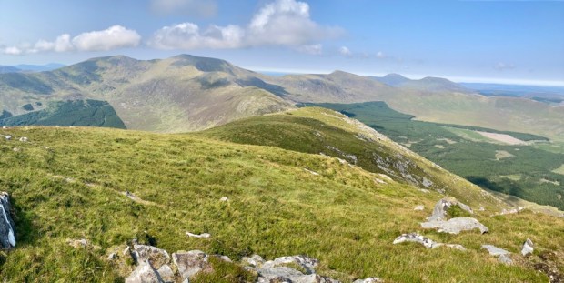
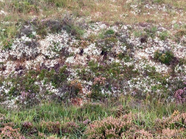
We set off to follow the trail to Lough Conn and back around Fox Covert, Burnt Wood and other named avenues.

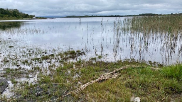
We parked up that night on the site of the old turf power station on Bellacorick bog, the flow country that stretches north from the Nephin mountains all the way to the coast.

Opened in 1963 it consumed 1000 tonnes of turf a day for 40 years finally being decommissioned in ’03 and demolished in ’07.

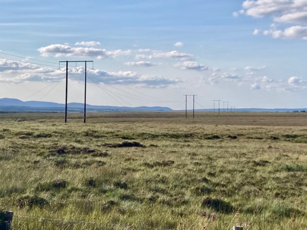
Ireland’s 1st commercial windfarm opened on the adjoining Bord na Mona land ( they have 10,000 hectares of bog) in ’92 with the 21 small turbines producing only 6.5MW. I say only because a new windfarm opened there in 2019 with the 29 big turbines producing 93MW!

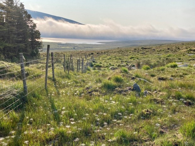
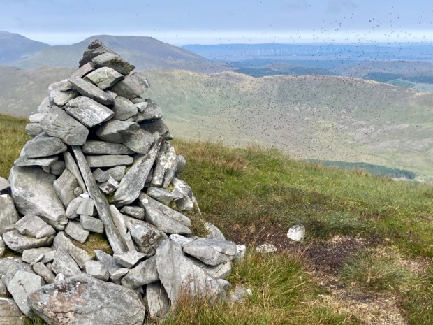
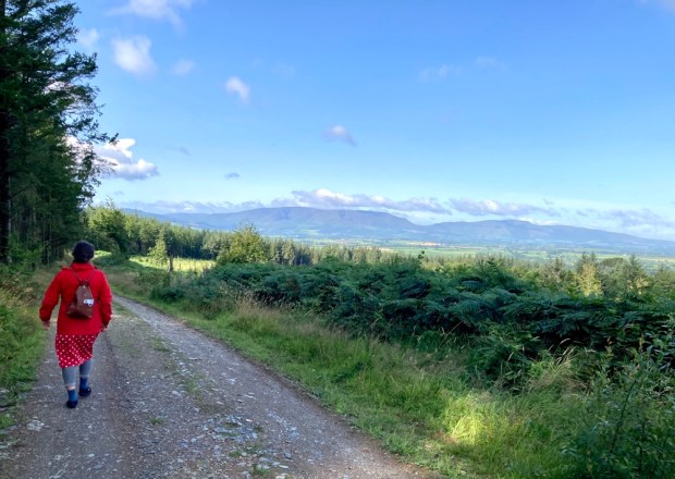
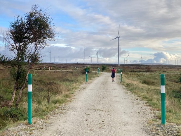
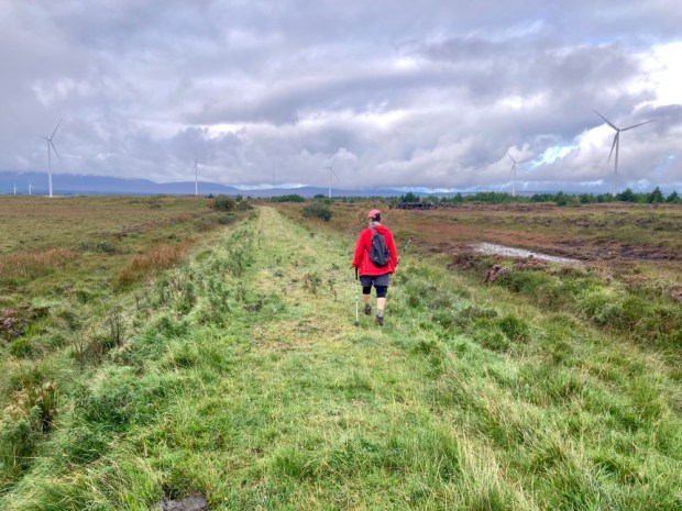
In the morning we crossed a new bridge over the Oweninny and joined the 13km looped walk around the site.

A joint venture between Bord na Mona and the ESB, the renewable energy plant is a major part of BnM’s “Brown to Green” rebranding. Although I think much of the cut away bog there is beyond restitution into a working carbon sink eco system, it is heartening to see its rapid transformation into a more ” natural” state.

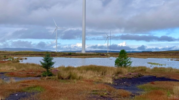
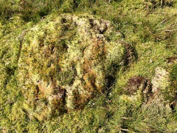
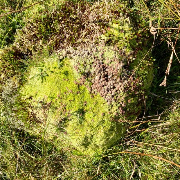
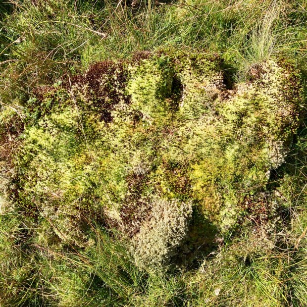
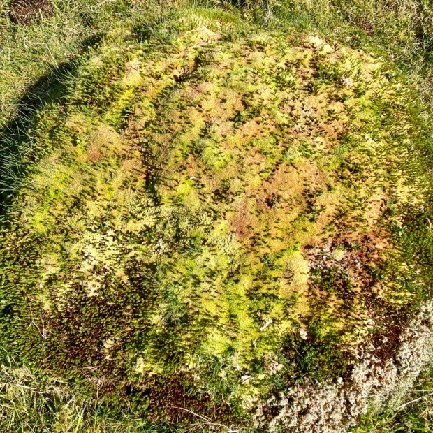
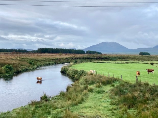
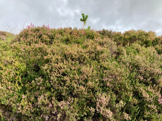
Cows and sheep grazing, insects and birds on the ponds and wild growth of heathers, grasses, lichens and mosses all testified to recovery. The paths followed the miles of old railway track, laid down to facilitate the removal of 1000 tonnes of ground a day. 10km of new roads have now been made for phase 2, complete next year and doubling the number of turbines and producing an additional 83MW of clean energy.

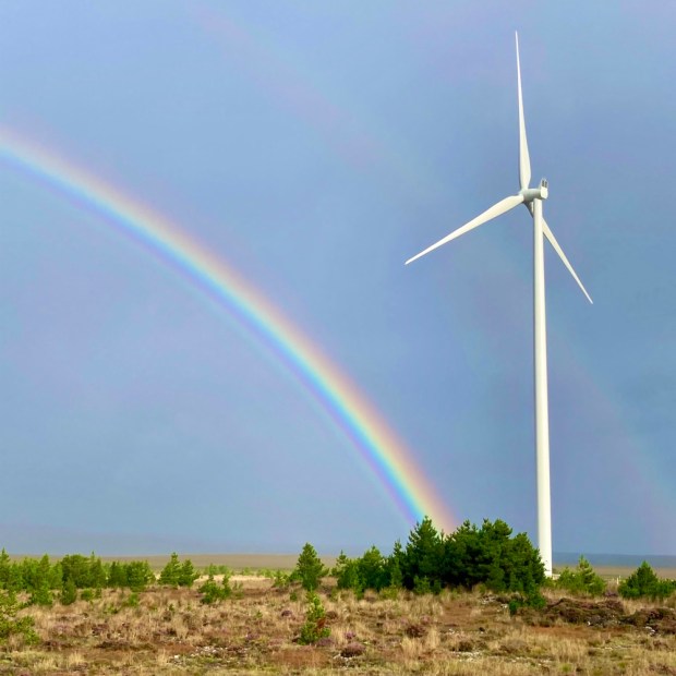
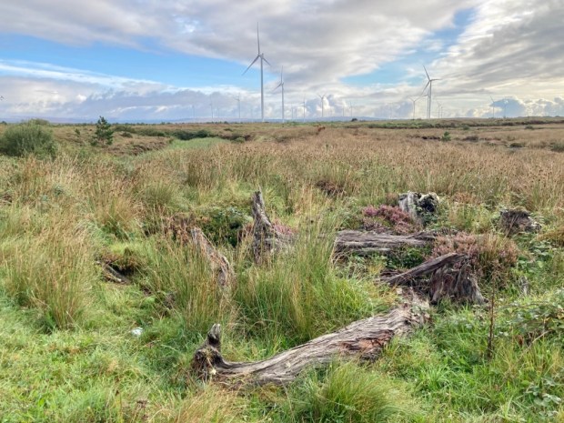
A nice flat easy hike across an amazing landscape under a very big sky. Unfortunately we discovered we shouldn’t have been on it at all when we tried to go to the visitor centre and discovered it closed due to construction of phase 2. A further, phase 3, is now in the planning stages- to bring another 50 MW on stream further to the east.

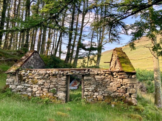
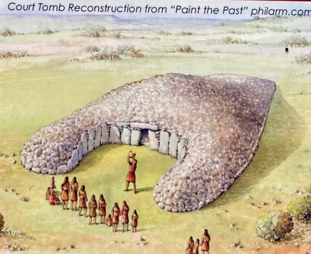
From a scene of a landscape heritage destroyed by exploitation of a natural resource to a scene of cultural and historical heritage destroyed for the same reason.

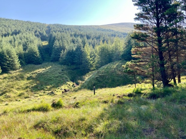
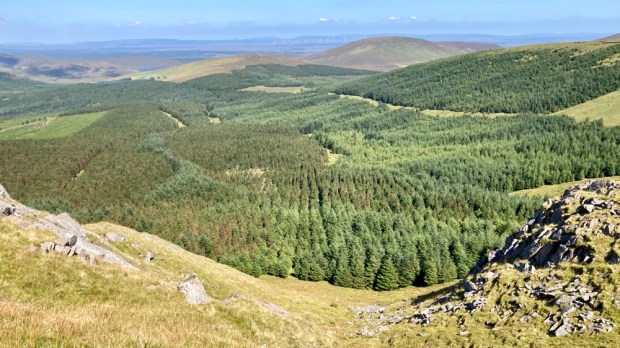
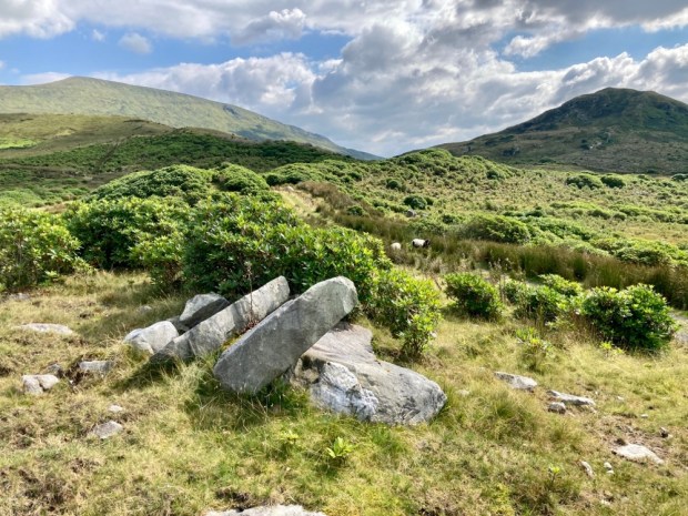
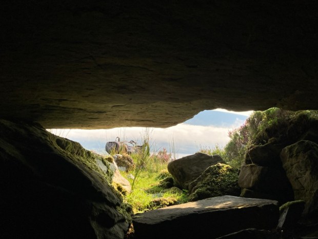
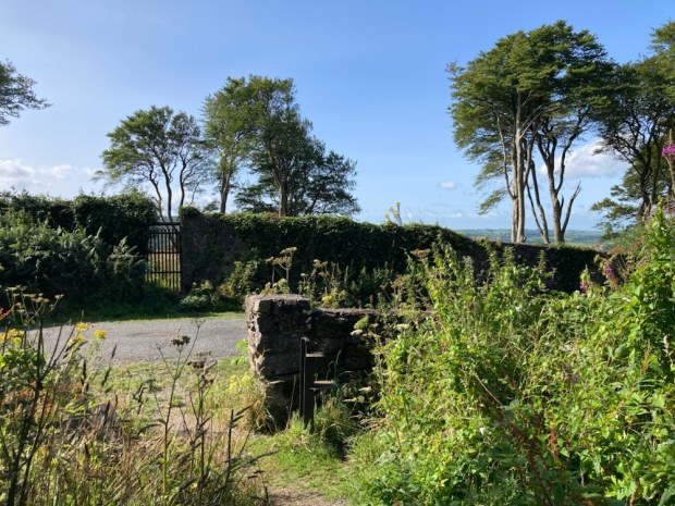
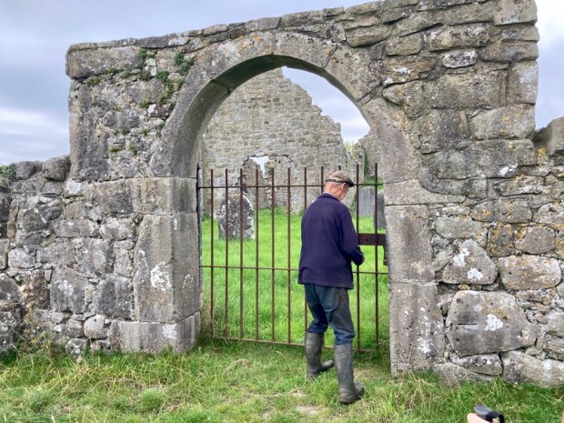
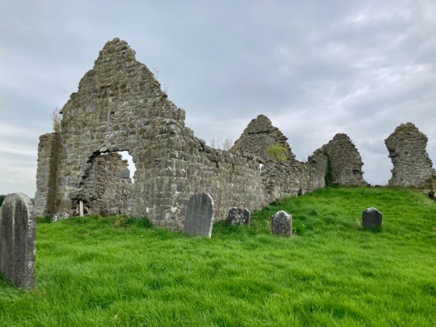
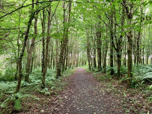
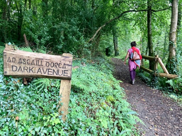
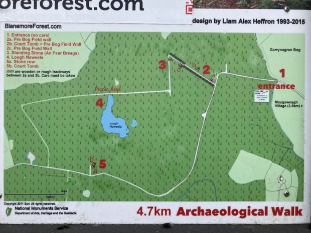
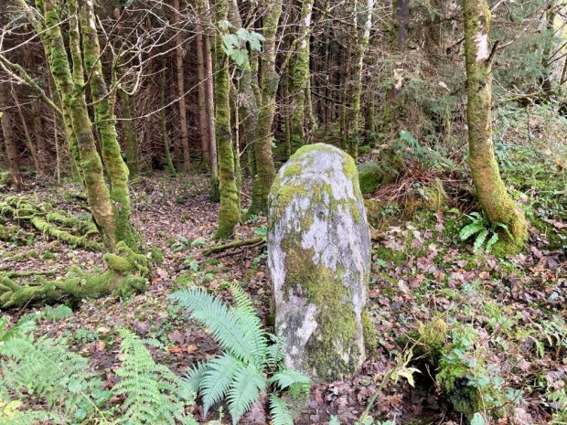
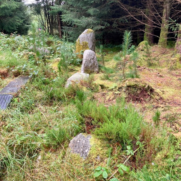
Across the bog a few km, near the proposed site of phase 3, is Blanemore Forest and its 4.7 km loop. A spruce, pine and larch plantation was thoughtlessly put down on top of a wealth of Neolithic and Bronze Age monuments.

Although surveyed in the early 1960’s, when the state forestry board first bought and planted the land, the pre-bog boundary walls, field systems, court- tombs, stone row and standing stone here were “lost” for decades before being brought to light in ‘ 93 by a couple of archaeology students. Since then the local community has done much to preserve and present these remnants of Ireland’s first farmers over 5000 years ago.

For 500 years from 3,800BC Neolithic farmers cleared forest and created fields for grazing cattle before a change to a wetter climate and the growth of bog coupled with soil erosion led to the disappearance of the settlement here. The nearby Ceide Fields complex spans 1000’s of acres and is the largest Neolithic site in the world.

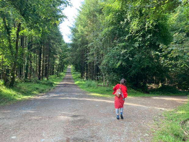
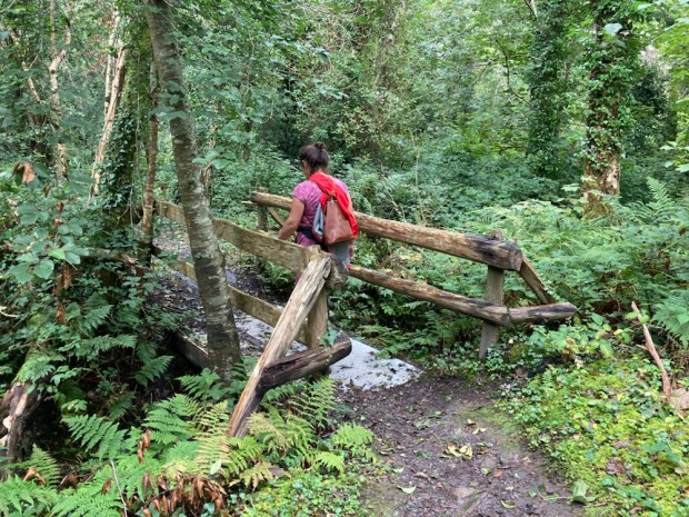
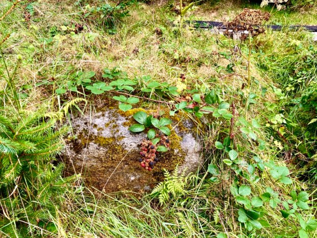
The trail led us on forest track and rubber mat boardwalks past information boards at each of the sites. Unfortunately much has been swallowed by the bog and forest and the repeated planting and harvesting operations have caused a lot of damage. In fact the capstone of the largest court tomb was deliberately knocked off by digger in the 60’s to see what lay under “the large flag” of the ” giants grave”. Thankfully all archaeology within state forests is now protected.

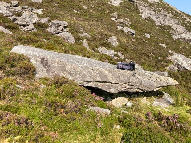
The site also contains a couple of impressive Bronze Age monuments from when farming returned about 600 years later as things warmed up again temporarily.

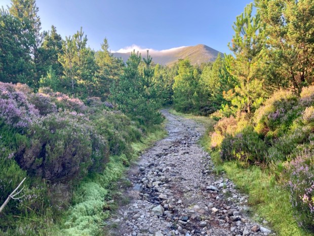
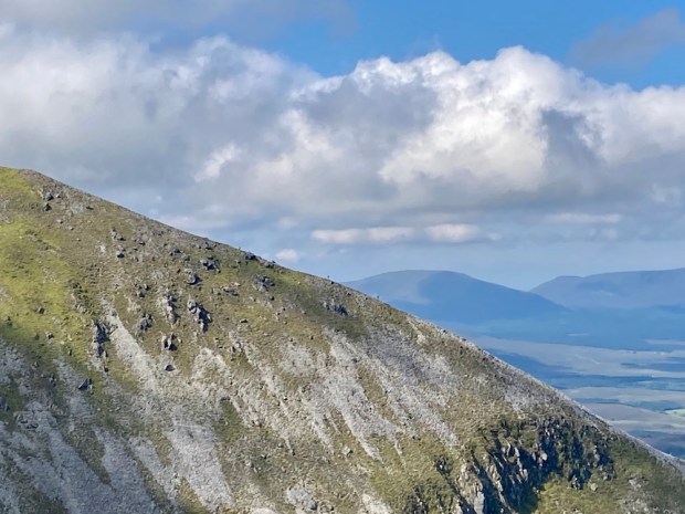
A large standing stone and a stone alignment atop a gravel ridge had a very different prospect before the trees surrounded them. It is conjectured that the stone row is in alignment with Nephin on the winter Soltice when the sun would appear to “roll” down its shoulder, similar to an event we have witnessed on Croagh Patrick.

After a few hundred years the wet returned, the farmers retreated east to the limestone, and the bog reclaimed the area again. Who knows what might be revealed later in this climate change?

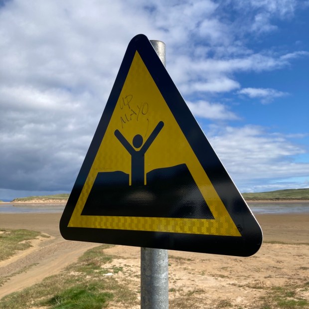
It was a big weekend in Mayo and particularly in our next destination, Ballycastle. Not only was the Sam Maguire cup within reach again in Mayo’s 10th Gaelic football final since their last win after a 70 year wait but the Red Bull cliff diving championship was also happening from the dramatic coast there, creating a lot of razzmatazz.

We watched the game in a fairly raucous pub with the excitement growing for hours before the throw in. Sad to say it didn’t go well and we slid away to the camper after the final whistle unable to share the agony of the true Mayo people.

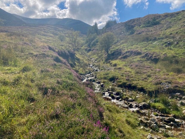
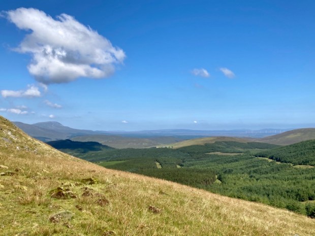
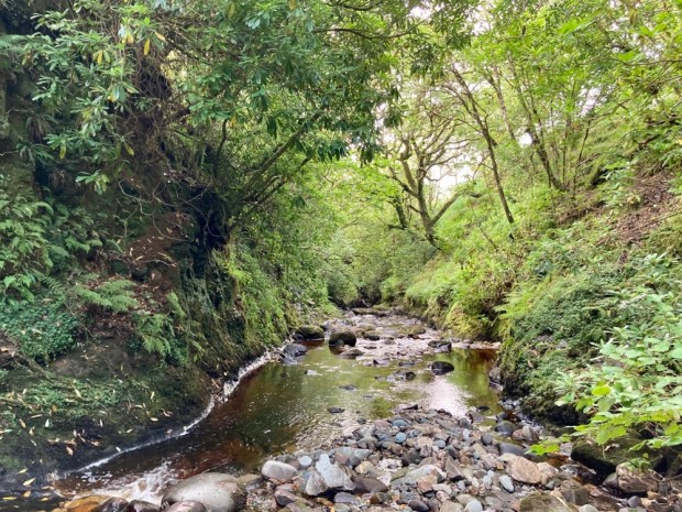
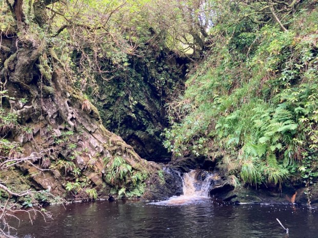
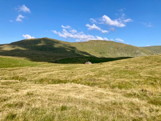
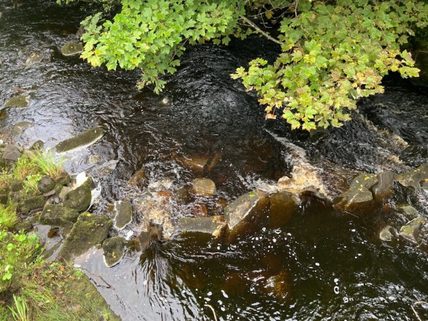
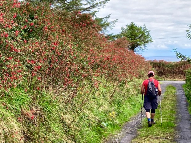
Sunday morning we walked down through town to the trail head of the Sralagagh 9.5km Loop and headed off a small road that became a boreen that became a track. Abandoned gravel pits, rough overgrown fields, some mattress dumping and views of farms smothered by forestry monoculture doesn’t sound great but our surroundings had a melancholy charm enhanced by the frequent gurgling of multiple watercourses.

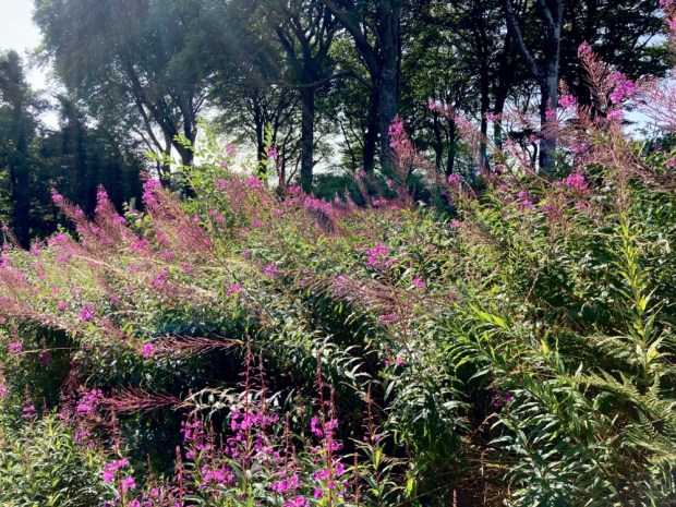
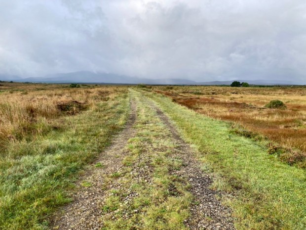
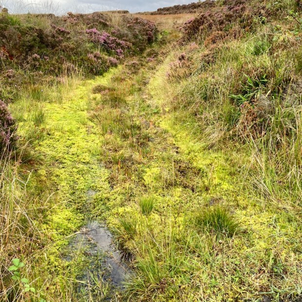
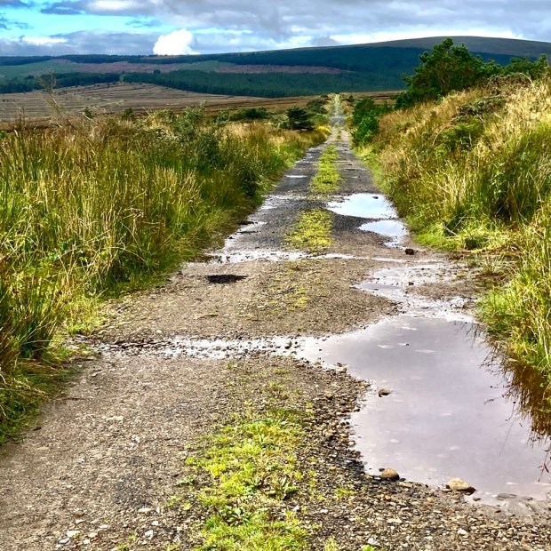
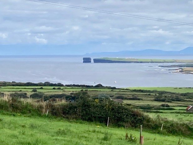
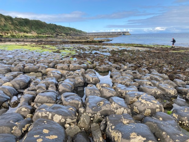
We reached old turf banks and at the highest point we turned down a bog track that stretched far into the distance. This deserted place must have been a busy hive of industry for generations of families producing fuel. From here we could look back to a sunlit Ballycastle and, further down the fuchsia track, the towering sea stack off Downpatrick Head where the diving was taking place.

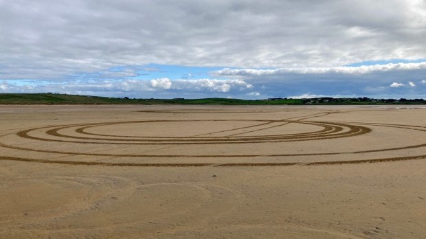
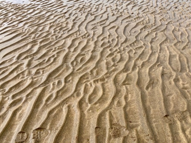
A coffee at the beach watching kayakers setting off for a fisheye view of the cliff divers, and we drove east over the headland for our last walking environment- the shore. The tide was out on Lacken Bay exposing miles of golden sands. There is a centuries old tradition of horse racing on the strand and every May thoroughbreds from around the country compete over a 5 furlong looped track surrounded by spectators who also engage in a variety of family fun sporting activities. Rather than sleek steeds racing around the sand we had to endure a boy racer doing doughnuts.

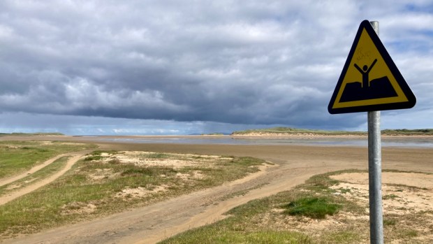
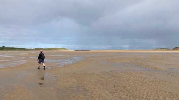
This is the scene of the French landing in 1798, the last act in that ill fated rebellion, and the troops marched across these sands to Killala and eventual defeat at Ballinamuck when the French were allowed to surrender whilst the Irish were massacred. We walked out into wide airy space experiencing a similar openness to the flat bog land horizons, tip toeing over the rivulets of retreating waters and admiring the big skies and small sandy details.

A lovely series of walks, but a slight sense of sadness crept in when contemplating the loss of life in the bloody rebellion and the memorial to fishing disaster, the migratory birds lining up to leave, signifying the end of summer and ,of course, the sad defeat of the Mayo hurlers.

WILD NEPHIN : Into the Heart of Mayo

Sustained sunshine and a dry Indian summer provided too good an opportunity to miss. After a few ” mild” walks I hankered after some “wild”. And so thoughts turned to Nephin and what is usually uncomfortably wet and soggy terrain. I’d twice crossed the boggy wastelands of Ballycroy and the Bangor Trail and relished the empty openness of that Big Country. I had also been inspired by Sean Lysaght’s book on Wild Nephin and had pored over the excellent 1:25,000 scale map of the area put together by Barry Dalby of EastWest Mapping.

So a maiden voyage in the repaired and whine and grind free campervan got me to a lovely parkup on the shores of Lough Cullin with the setting sun rolling down the shoulder of my goal for the morning.

A big full moon hanging over the lake when I awoke added to the call of the wild as I drove off, stopping on route at the poignant Titanic memorial in the village of Lahardaun. 14 souls from the area lost their lives in the disaster and others miraculously survived. Anne McGowan, a local, survived and lived on to reach 95 years finally dying in 1990. Every year here at 2.20 on April 15 th the church bell tolls and a ceremony is held in their memory.

Nephin is the highest standalone mountain in Ireland and second highest point in Connacht, second only to Mweelrea. From its summit at 806 m there are outstanding views over the vast tracts of moorland, forest, blanket bog, farmland and the mountains of Donegal, Sligo, Galway, even Clare on a clear day. And of course Croagh Patrick and the Nephin Beg range. It’s a mountain I’d been attracted to for decades with its enticing and mystical pyramidical formation, but been unsure the best way to tackle it. Problem solved by local community groups with help from Coillte and the Co Council who created a marked trail on the north face with its fantastic Corrie. Known as “Finn Mc Cool’s Armchair” the Corrie does not contain a lake but is certainly dramatic. Leaving the camper in a recently created trail head car park I started off up a forest track with the early morning dew still glowing on the spider’s webs and a small blanket of cloud still draped over the summit.

An old Mass Path lead me on to the edge of the forest and out on the heather clad open mountain. The path got muddy and eroded in places, the downside of creating a route and car park and increasing the amount of footfall. Moving on up and starting to slow as the incline increased I was bemused to be overtaken by a young one running up the, to me , daunting climb stretching ahead. He turned out to be an Italian, and bizarrely a mad Mayo football fan, over for the final, as I discovered when he passed me again on his way down.

The views opened up as I rose up through the heather and scrambled on the loose rocks. I looked over to the west at the lower rounded hill of Tristia, where I planned to visit a holy well.

I moved over towards the edge of the steep drop into the corrie, thrilled by the views, and clambered on up towards the now visible trig point.

At the summit I found a spiral art work had been created below the trig point and a wasp nest was resident in it. I discovered this while resting against it congratulating myself on a successful ascent, just before receiving a couple of stings. A mysterious figure emerged from the cloud to the west.

Eamon was on a mission from Scotland to climb all the Irish peaks over 600m, known as the Vandeleur-Lynams, of which there are 273. He was doing this without transport, hitching to the trailheads. He was also doing it without paying for accommodation instead hoping to meet friendly folk to put him up or camping out. But just to ensure that his life did not become too easy and diminish the challenge he was doing it without a tent, just sleeping bag and mat!

And he was about my age. Not one for the Saga coach tour then- and way beyond the definition of Active Retirement.

With so many peaks to bag he couldn’t stay too long and disappeared back into the cloud leaving me to carry on around the rim of the corrie and start back down on the opposite slope to complete a horseshoe climb. I could make out tiny figures scaling the shoulder across the gulf of Finn’s armchair and I disturbed a resting sheep who hobbled off with a broken leg. How long to survive?

Jumbled rocks gave way to rough grass and heather on the steep slope down towards the ravine caused by the scouring waters of the stream that becomes Castlehill river.

After the exertion of the climb I took the restorative waters at the holy well on the slope of Tristia, a few km away. Originally a site of pre Christian celebration at Lughnasa it was later dedicated to St Patrick after he was said to have called here himself for a drink. In fact there are two wells, one for Patrick and the other, in a gesture of sexual equality, Bridget. The waters are reputed to cure lost eyesight and to bring about reconciliation to troubled families.

With a fair bit of fine day left I moved around to the opposite side of the hill to Drumleen Lough for a refreshing swim. An easy 3km loop walk encircles the lake thanks to the efforts of local community and willingness of landowners. A laid gravel track and boardwalks take one past an old homestead and around the lake held between the glacial drumlins with a thoughtfully placed picnic table and benches where I stripped off and cooled myself in the placid waters.

With the evening drawing in it was time to head deeper into the Nephin Wilderness and find a parkup. Turning off the Bangor road toward Keenagh with the vast expanse of the bog stretching away to the north I visited Bunaveela Lough before finding a beautiful spot in a little lay-by overlooking the forest and folded landscape above the Goulaun river.

Another place of curative waters was my first destination in the morning – deep into the bowels of Glen Augh under the watchful eye of Mount Eagle. Driving up a forestry track as far as possible, I followed on foot the post markers leading along boggy firebreaks to Jamesie’s Well. The old lodge pole pines were festooned with lichen- a testament to the pure air. Unfortunately the rhododendron that plagues so much of the area, and could cause problems for the hands off rewilding plans for the park, had managed to get a purchase even here.

There were actually 3 spring wells spurting the purist of waters from under the trees. Said to be effective in the treatment of kidney stones, when Jamesie McIntyre passed a stone after drinking the waters, they will not work for those attempting to sell the aqua viva.

I supped deep from each in turn before following the gurgling sounds of the infant Srahrevagh River up to Lough Doo in the saddle between Mt Eagle and Top of Lena peaks. Blazing sun, cooling waters, empty, isolated and open to enormous vistas – perfect for a bit of “wild swimming”.

The views only improved as I climbed on up to the summit, admiring the micro worlds held within the clumps of mosses and the macro world of the vastness of earth under the heavens.

Back down in the river valley I went in search of some waterfalls known as The Lep or leap. Hidden in a deep and steep ravine, sheltered by ancient gnarled oaks whose precarious positions have protected them from browsing sheep and men with saws, the falls are heard way before they are found. Even now, after weeks of dry weather, the cascades were impressive. To be here in a winters flood would be awesome.

Inspired by my view east from Mt Eagle of ancient trackways and settlements at the far end of Glen Lara and the booleys of The Pullidge I set out from Shrahmore Lodge towards the mighty Burren Corrough. This land, once so full of hard lives, was now deserted but still harboured remnants. Potato ridges, ditches and banks, the deep impressions of discarded turf banks, stone walls of cottage and booley huts.

There was a melancholy to the place and I had planned another wild swim in Derrybrock Lough but on reaching it somehow my desire for immersion faltered. Perhaps something to do with the fairies the area is associated with , a place children were warned to avoid. The lakes Irish name , Doire Bhroc ( Badger Wood), is another cause for sadness- the despoliation of the landscape has seen both badger and wood eradicated. In the end though the blue sky and shining sun banished the banshees and the swim was a blessing.

Invigorated by the swim I carried on over the tussocks of rush and grasses into a vision of the American Badlands or the Mongolian steppes. The vastness was a little daunting, or maybe it was the fairies, and I decided I’d better retreat before the light did. From the furthest flung roofed building, adrift in the featureless void, I struggled to follow the ghost of a cart track back to the van. In another few decades this could all be a rhododendron forest, so many of them were progressing across the land, triffid like.

I drove south then west to cross the Black River and around the top of Lough Freeagh to continue down a forestry track into Glennamong. Parking up next to the bridge I was visited by a logging lorry just before dark and another late at night and again in the misty (and midgy) morning. Their timber cargo was going to Enniskillen in the north which seemed absurdly far away but the driver told me they go all over the country.

A still and humid morning had the midges out in swarms so as soon as the mist had risen enough for me to see my route up towards Ben Gorm I was off, first through a clearing in the plantation, then up over the sheep wrecked mountainside of sparse vegetation, hags of turf and swampy hollows. The erosion had revealed a lot of prehistoric tree stumps, relics of another age and another climate. And there were sundews.

I’d read about a discovery I was hopeful to find high up in the moraine of jumbled boulders and rocks that have detached themselves from the side of Ben Gorm and lie strewn around dangerously awaiting careless ankles. A local man had followed a fox into a narrow fissure in the rocks and found a 20 m corridor and later chambers containing human bones. Subsequent examination determined that the chambers had been used for ritual burial for several centuries from over 5000 years ago. My first effort was woefully inadequate as far as Neolithic burial chambers go but I spied what must be it, a huge slab, high up the cliff, guarding a wide opening.

Unfortunately a difficult clamber up there revealed only the skull of a sheep, but the view was good.

I had got myself into a position where the only way was up, and it was a sweaty scramble clinging to rocks and heather before I finally breached the ridge and hauled myself to the reward.

Beautiful weather beautiful views. The pinnacle of Croagh Patrick rose above a sea of islands in Clew Bay to the south and the wilderness of the Nephin range faded into the east. To the west were the mountains and cliffs of Achill while down to the east the camper, and a long journey home awaited.

My thirst for the wild had been sated but my attachment to this landscape had only grown. Laid out in such a grand scale it displays its history in geological and human scale openly and I can only wonder what comes next.

CURRAGHMORE AND CHARLEVILLE CASTLE ESTATES: A Walk on the Mild Side

Finally getting my fingers to the keyboard to write about a couple of micro adventures- weeks separated in time but sharing many similarities.

First up was a little side trip from our visit to this years Covid constricted Sproai festival, Waterford city’s annual street performance jamboree. We drove west up the Suir valley to the super wide streets of Portlaw, the 19th century model town created by mill owning Quakers. From there we took the oddly named Scrouty road to the car park entrance to Tower Hill woods to begin a 4.5km loop.

There are 100’s of acres of glorious mixed oak woodland hereabouts, mostly owned by the Curraghmore estate, and although this particular patch had been described as representing one of the larger remaining tracts of oak woods in the country, it seemed mostly coniferous to us. We passed an old stone boundary wall which obviously predates the supposed “ancient woodland” and reached an open area with stunning views to the Comeragh mountains.

We emerged from the shade of the trees into a fine sunny day under blue skies and followed the track across the shoulder of the hill till reaching a road at Hussain gap where one of the Marquis of Waterford had his faithful war horse buried. The gravestone of Jock the Charger had been removed to the house for safekeeping after some inaccurate tree felling had broken it.

Some of the 12 miles of estate boundary walls we passed along the road were being restored with traditional lime mortar aided by state and European GLAS grant aid- an ironic twist on the fact they were originally constructed as famine ” relief” for a penny a day and food.

Shortly turning off the road and into the forest again we climbed on a path past seeding willow herb and spindly holly towards the De la Poer tower.

Sitting atop the 230m hill the tower was built in 1785 by the 1st Marquis of Waterford in memory of his eldest son who died aged 13 in a riding accident jumping his horse over the courtyard railings. A solid construction with walls up to 7 ft thick and a 92 step spiral staircase that leads up to a view over 5 counties.

We sat at the top looking down at our next destination, the house and grounds of Curraghmore. The 2500 acres of the estate make up the largest private Demesne in Ireland and are home to a remarkable tree collection including the tallest tree in Ireland, a Sitka Spruce planted in 1830’s and about 180ft tall.

The De la Poers have been here since the 12th c and the original Norman keep with its 12ft thick walls has been encased by a Victorian mansion. The fine back courtyard, where we took our luncheon in the cafe, is overlooked by St Huberts Stag sporting a crucifix between the antlers.

Traditionally hosting polo matches in summer and shooting parties in winter the glorious grounds of lawn, lake, woodland, borders, parterre and formal gardens were the unlikely setting for the All Together Now music festival in 2018 and 19 and are signed up for 3 more. 15,000 people camped and danced and partied in these refined surroundings over long weekends with no damage done- but leaving tell tale traces dotted incongruously about like objects implanted from a future reality.

I wondered what Lady Catherine, the Countess of Tyrone, would have made of it. Being a creative herself I feel she would approve. In 1754 she took 261 days to construct the Shell House with “her proper” hands and instructed captains leaving Waterford harbour for exotic destinations to return with shells with which to decorate its interior- unfortunately hidden from our view.

We had to return to Sproai and so left without fully exploring the planting Lady Catherine was instrumental in. Exotic trees as well as shells found their way to Curraghmore. Chinese Fir, Japanese Umbrella Pine, Lebanese Cedar, Western Hemlock, Mexican White Pine, Caucasian Fir, Chinese Plum Yew, Serbian Spruce, Bhutan Pine, Japanese Red Cedar, Chilean Southern Beech, Cappadocian Maple- it’s an impressive list, and an impressive landscape. We will return.

Another historic estate that hosts a music festival, and has done annually for 13 years, is Charleville, just outside Tullamore, Co Offaly. It also has a remarkable collection of trees as we discovered on our latest ” train and trail trip”.

Alighting the Dublin bound train in Tullamore it was a short walk to the entrance to Charleville Forest where we were immediately gifted with the presence of The King Oak.

This approx 700yr old venerable being is one of many in the ancient forest that has survived here after 1700 acres were given to the Moore family by Queen Elizebeth 1. Voted third in the European Tree of the Year in 2013 the oak has a girth of 26ft and the lower branches spread 150ft. It was struck by lightening in 1963 and survived, split but still strong.

The forest here has been considered magical for centuries and was sacred to the druids. As we continued up the lane towards the castle we were in awe of the majestic towering oaks that formed the top canopy of a multi story woodland.

The arboreal senior citizens sported some huge burrs that masked hidden wonders for a wood turner.

At the end of the drive we passed through an entrance to the castle itself, built over 14 years from 1798, the year of the crushed rebellion, and designed as a neo gothic statement of power. The round towers were supposedly positioned on the crossing point of key lines and create a powerful energy in the tower rooms. Reported to be full of hauntings the castle hosts overnight paranormal investigations.

Uninhabited from 1912 it fell in disrepair but was saved from ruin by the work of volunteers and supporters from 1970’s and the creation in 1994 of the Charleville Castle Heritage Trust. In 2006 the first small scale Castle Palooza festival was held, raising money for the continuing restoration, increasing in size to 5000 over the coming years.

Skirting the castle we followed the track over a stream and past a wide assortment of mature trees- mighty chestnut, ash and sycamore. There is a planting of yew here in the shape of the union flag, impossible to determine from the ground. We continued our walk down through an avenue of limes from the farmyard and out onto open pasture.

Out through a gate onto the Lynally road and we carried on northwards through farmland that although productive seemed somewhat of a mishmash with abandoned old cottages and sheds alongside brutish new development.

This area was part of a major ecclesiastical centre for centuries when the monastic site founded by St Colman Elo in 590 grew into an important place of faith and learning. The ancient oak woods of Charleville were part of the settlement back in the day and we stopped for a picnic lunch at the atmospheric ruins, kindly shown around by the knowledgeable owner of the land, Mr Mooney.

An unofficial caretaker of this OPW site he had protected it from much official vandalism and seen a partial improvement with the removal of damaging ivy by the county council a few years ago. When I asked him if his family had been here for a long time he replied, No they’d only come in 1668 from another part of the county. “A blow in so”, I replied, ” have the locals accepted you yet?”

A mine of historical info and a welcoming custodian, he left us to tend to his farm and we carried on up the road another couple of km to join the Grand Canal at Ballycowan castle whose grouping of its 6 chimneys led it to be known locally as the 3-2-1.

We’d walked the Grand canal from Dublin to the Shannon about 15 years ago and had mixed feelings about the Greenway “improvements” that saw the grassy tow path converted into a tarmac cycle and walkway. It was still pleasant to meander along beside the reedy water towards Tullamore but we crossed over from the official surfaced route to the south bank over Srah bridge to take our chances on the rougher grass bank.

Passing Srah Castle, the 1588 defensive tower house of English settler John Briscoe we were soon passed the traveller halting site,( with adjacent sewerage plant), and into the 28th lock on the edge of town.

The 14km loop hadn’t taken as long as thought so we had time for tea in town reflecting on the pleasures of a walk on the mild side before returning to the station for the train home.