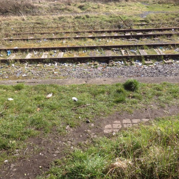
18/32/20kms
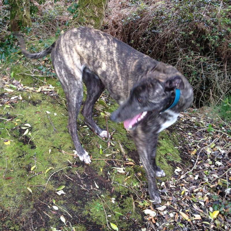
Glorious sunny weather and beautiful lush spring countryside this week on the Ballyhoura Way, another dog friendly trail me and the hounds undertook over 3 days.
It’s a 90 km walk, starting east of Liscarroll in Co Cork and finishing at Limerick Junction near Tipperary town.
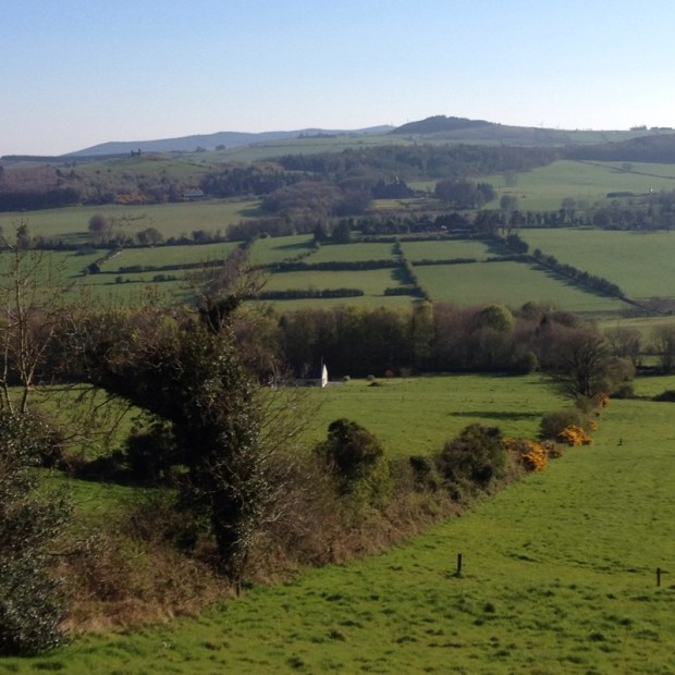
There are spectacular views for much of the route over the Golden Vale, the Glen of Aherlow and the Galtee Mountains as the way involves 4 upland sections over the Ballyhoura Mountains, Slievereagh and Benyvoughella Hills and along the ridge of Slievenamuck before coming down into Tipp.
The way makes up a segment of the Beara-Breifne Way which follows the route of the 14 day March of Donal O’Sullivan Beare and 1000 of his supporters in January 1603 from West Cork to Leitrim where only 35 people remained. It’s an epic tale and wonderfully told in a one man show by Aidan Dooley if you get a chance to see it.
Coincidentally the International Ballyhoura Walking Festival is happening next weekend over the May bank holiday and sections of the route had been freshly strimmed and a couple of new bridges installed. It’s the oldest walking festival in Ireland ,celebrating its 21st birthday and is expecting over 1000 walkers. The whole area is really well marketed as Ballyhoura Country with a wealth of outdoor activities intergrated with accommodation etc and made me wonder if the Slieve Aughties could do likewise.
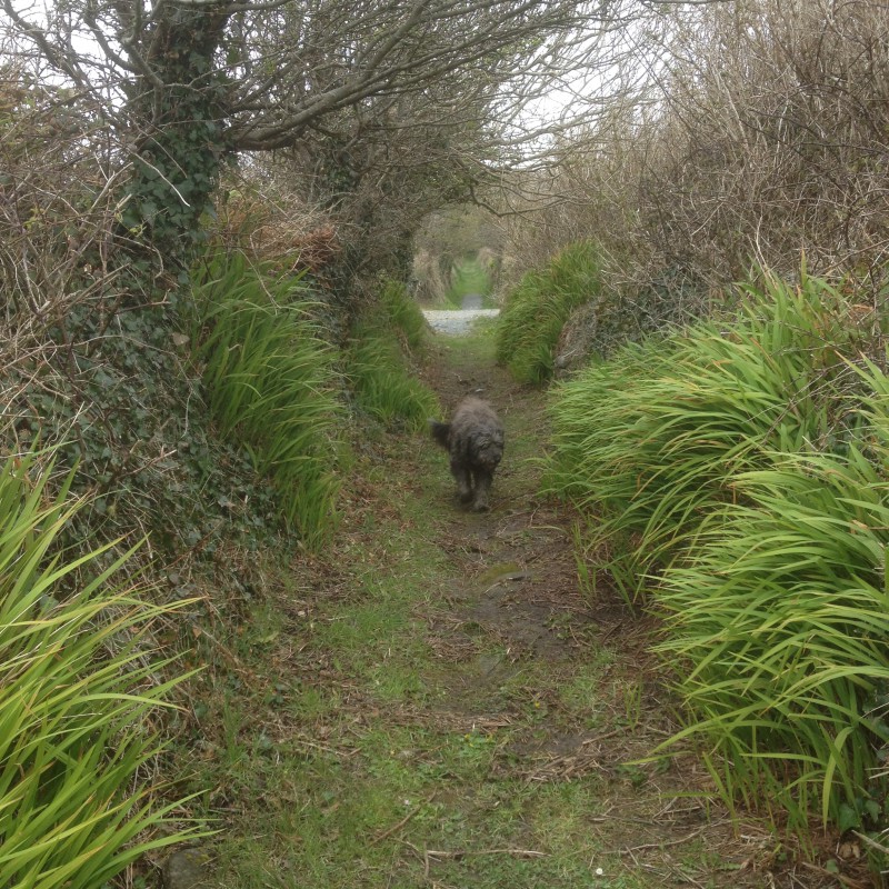
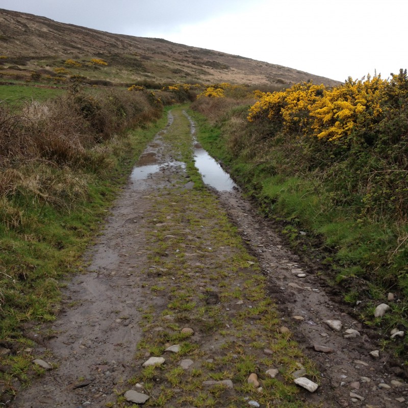
The first 20 km of the way is on tarmac roads which I didn’t fancy with the dogs so I left the van at the 2nd trailhead just south of Ballyhea where the trail heads off road and heads into the hills.

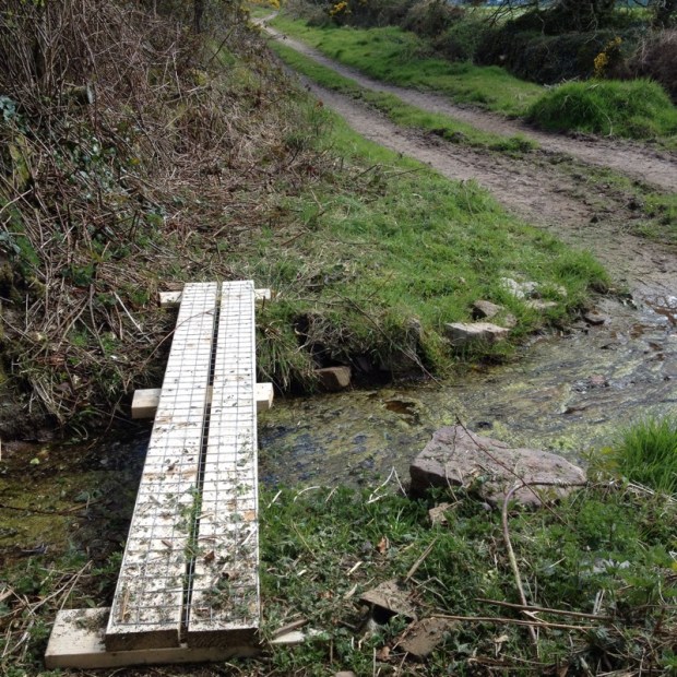
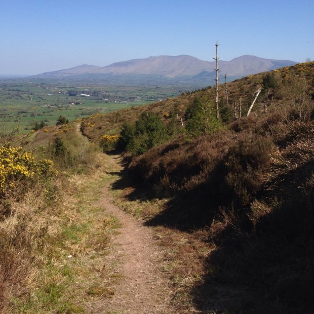
A nice stretch of primrose dotted boreen with plank bridges over ditches led us up to a rutted farm track with views back over the Golden Vale.

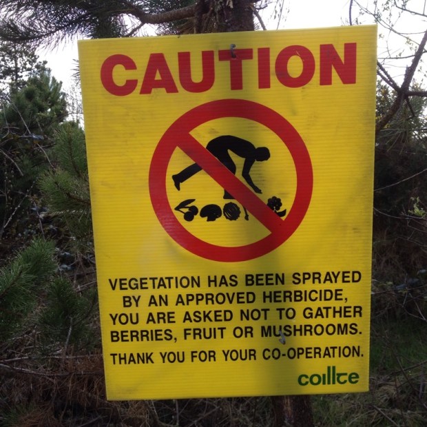
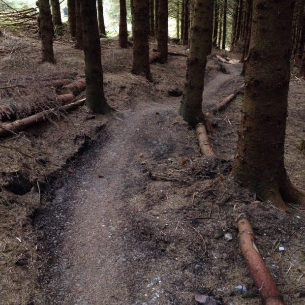
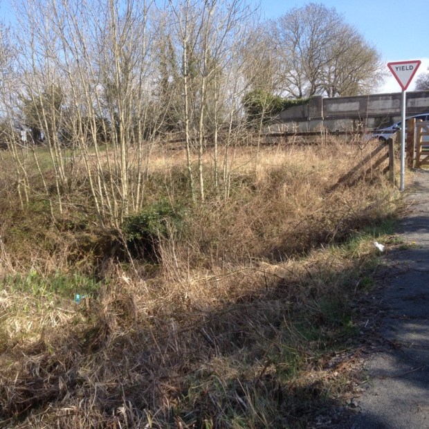
Before long we entered forestry where it was a bit off putting to come across this sign
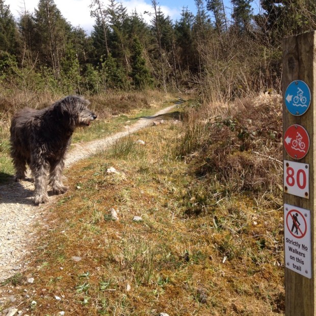
 but heartening to find a weath of mountain biking trails looping and crisscrossing the walking routes.
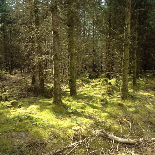
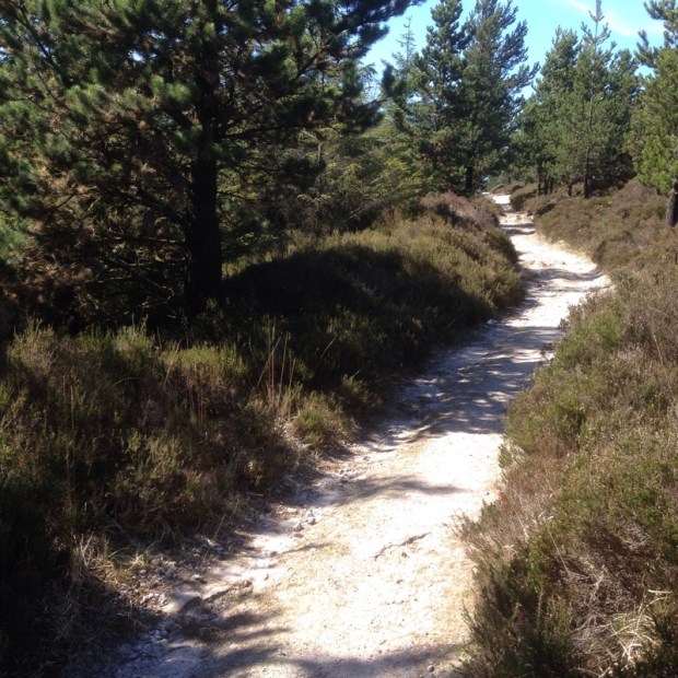
I usually find forestry boring to walk through but here it seemed more open with cleared views and plantings of beach.

I don’t know wether it was bad signage or loss of concentration but somehow I missed the turn to take us up over the top of Carron mountain and had to use the maps I had downloaded from the irishtrails website to follow forest tracks around to get back on track. In doing so I came upon the site of a party held many years ago where a troop of scouts had hiked through the marquee erected over the trail during my early morning ambient set. A surreal memory.
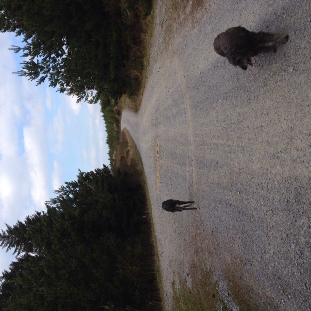
As is the sideways image of the site that I cannot make go the right way up.
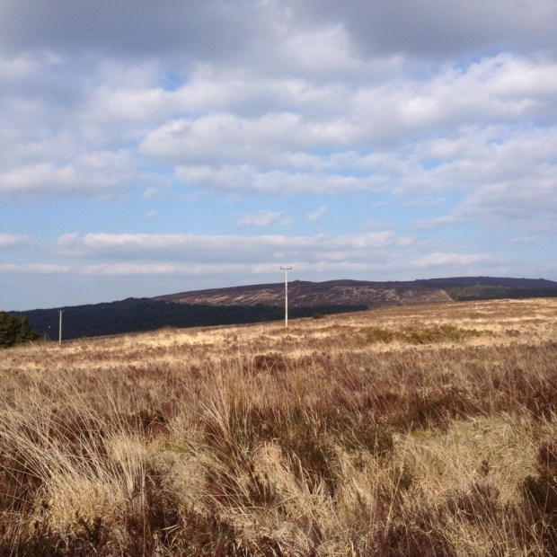
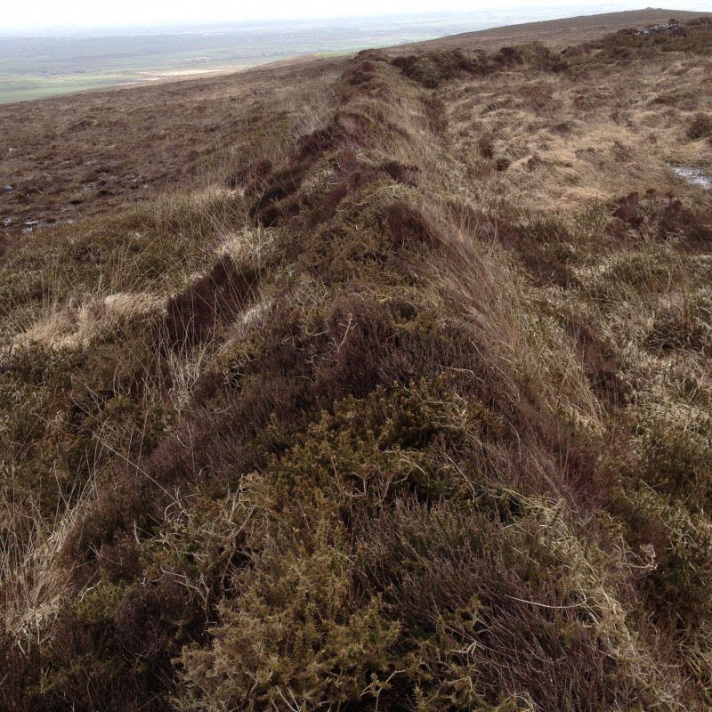
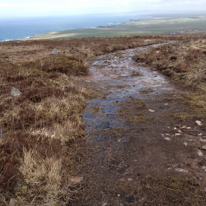
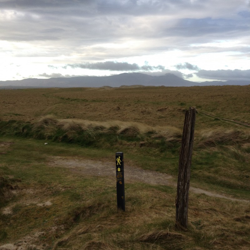
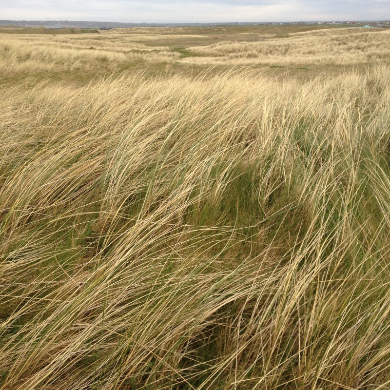
We reached open moorland
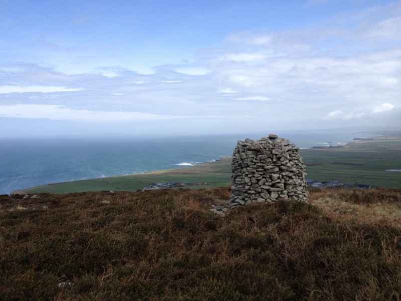
and climbed to the Ways highest point at Castle Phillip (477mt) and down a little to camp witha view North.

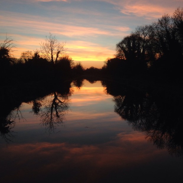
A fine sunset
 and a fine sunrise

We carried on down through the forest with more bike trails
 and the Ballyhoura Trim Trail, a looped circuit of exercise stations for sit ups, parallel bars, hurdles, ladder walk etc

There were info boards on different species of fauna and flora and a bridge led us through a lovely beech wood.


Out to open country again overlooking the vast 6500 acres estate of Castle Oliver where the tree planting in the 18th century was based on the battle positions at the battle of Waterloo and was thought to be the birthplace of Marie Gilbert better known as Lola Montez, actress and dancer and mistress of King Ludwig of Bavaria.
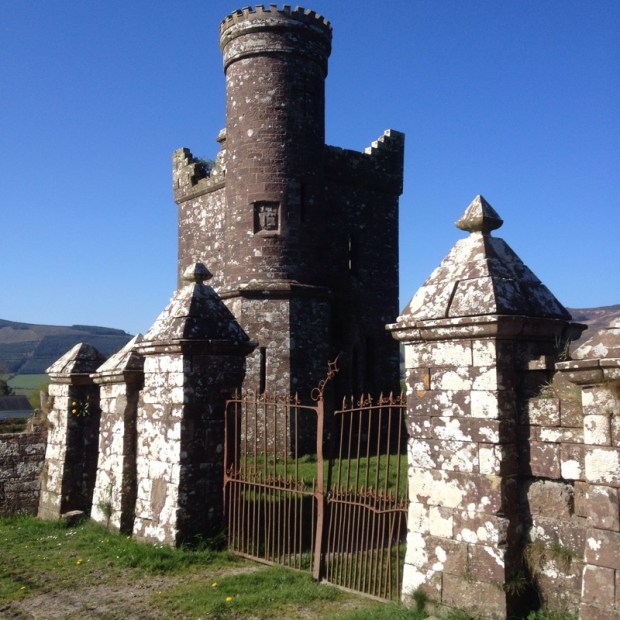
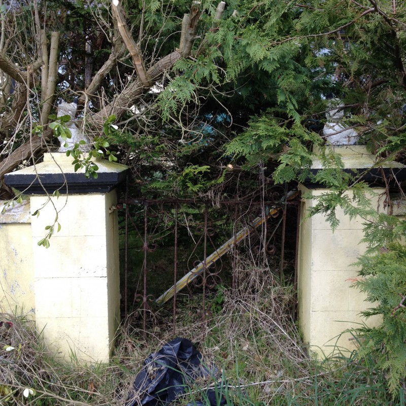
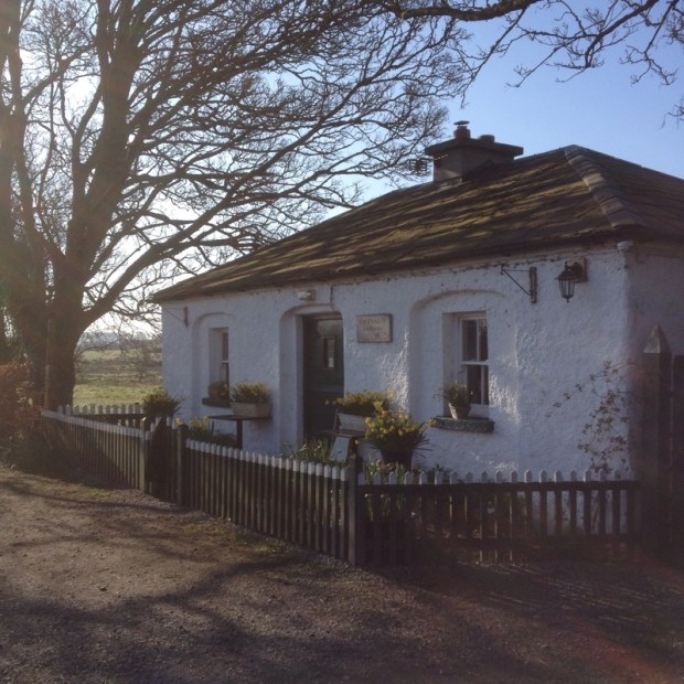
One of the gate lodges of the now broken up estate.
A riverside strip of ash woods led to a collection of holiday lodges both grand and basic


though none as basic as the little off grid Eco cabin we came to a little later
 A lot of wind blown trees on Ballyroe Hill made for an interesting archway
 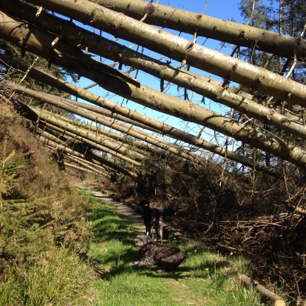 n the way to Kilfinane the main town of the Ballyhoura Country area where the lady in the impressive info centre ran around sourcing maps and guides for me and water for the dogs. On the outskirts of town the site of the old corn mill set up by Richard Oliver which brought prosperity to the town was being invaded by Knot Weed.
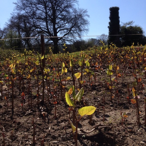
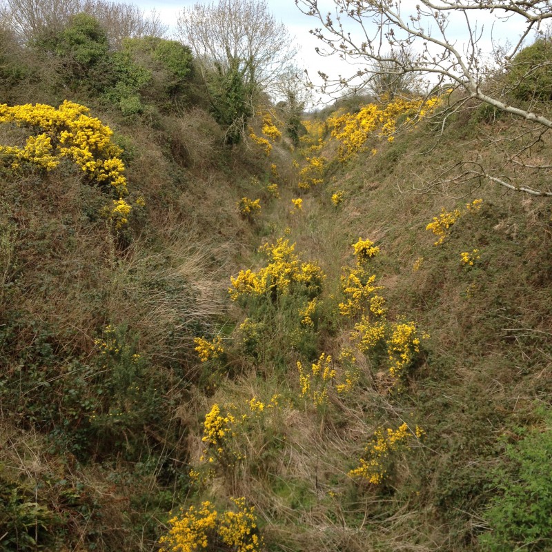
The sun shone brightly lighting up the gorse flower on the trail with the Galtees now in sight.

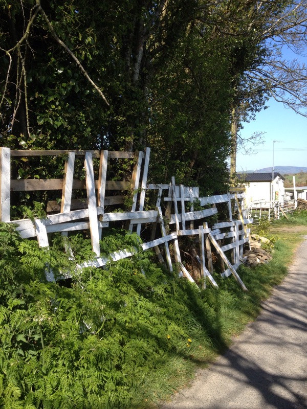
Some unusual fencing made the section of road walking to Galbally more interesting.

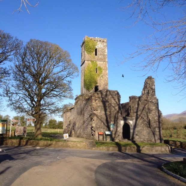
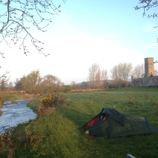
After over 30km it was good to get to Moor Abbey our campsite for the night on the banks of the river Aherlow. The abbey had a troubled history, taking 300 years to complete and being burnt 4 times. Legend has it that 3 Friars beheaded by Cromwells men shed no blood.
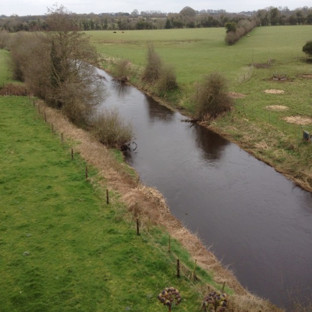
The next morning started with a 2km walk along the riverside and another km up hill across open grassland and fields to the track that traverses Slievenamuck with views across to the 3000ft peaks of the Galtees.


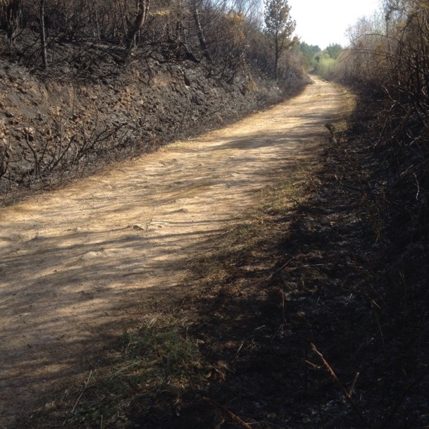
There had been a fire in the forest the previous weekend that came perilously close to the houses there.

Not long after I got lost trying to take a “short cut” to avoid a bit of road walking. Not having my GPS on me I couldn’t work out where I was and ended up on a looped trail to the top of the ridge.

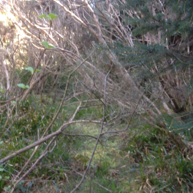
Seeing Tipperary laid out below me I made the brave but foolish decision to head straight down to a road leading there which involved a lot a clambering through nearly impenetreble thickets and forest.
We made it , just, and a 4km road walk took us into Tipp where we took a taxi in half an hour the 3 day route back.


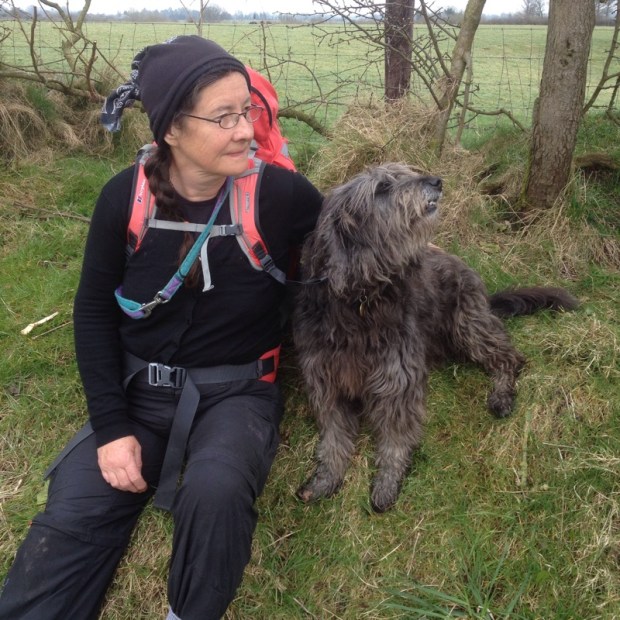
 Time for a rest with just 8kms to go.
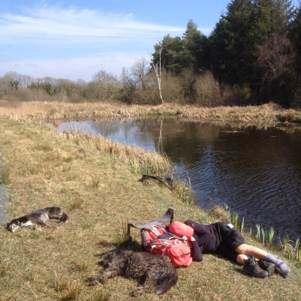


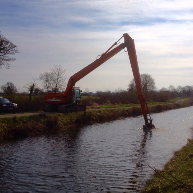
 and across a vast expanse of bog where the turf was being harvested in a way we hadn’t seen before.
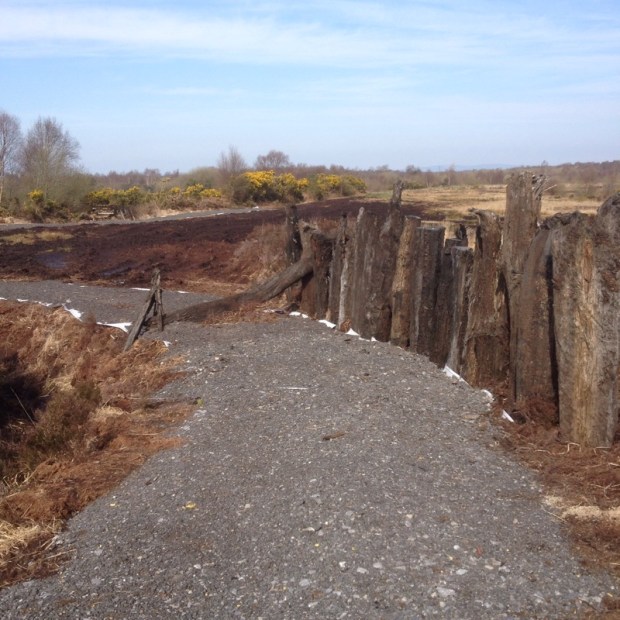
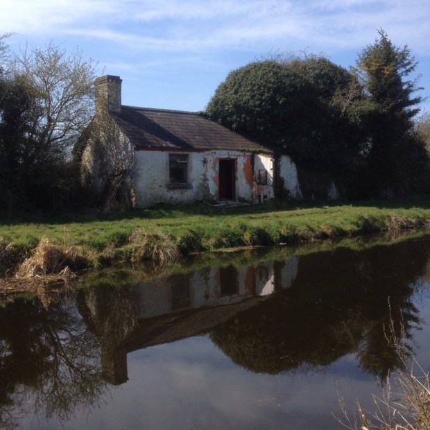
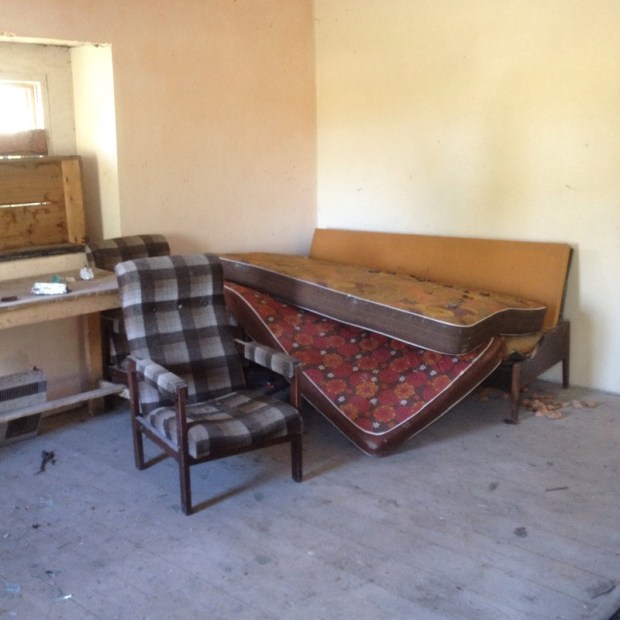
 and a derelict lock house with an interior that needed a severe makeover.
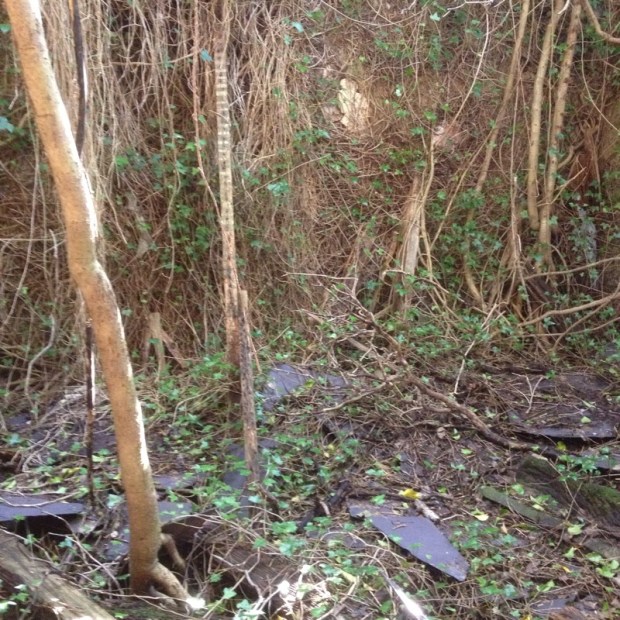
 but we needed to go on a bit further to get supplies and camp. Sally headed into Ballymahon, celebrating its massive investment by Centre Parcs, to get dinner while I took all the kit on to Archie’s bridge and set up camp.
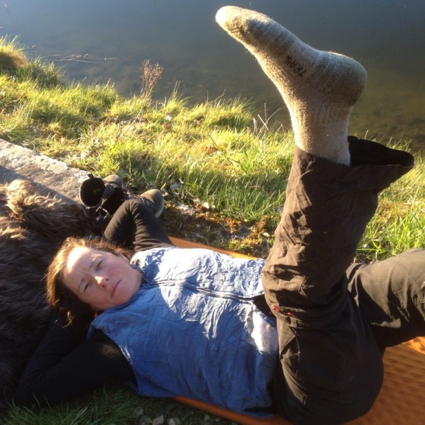
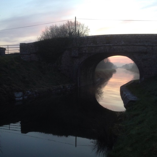
 A lovely misty start after a cold clear night. There was a hard frost and our bags had done well to keep us cosy. The problem with the cheap one skin tents is the condensation on nights like that so we spent a while drying gear before heading off.
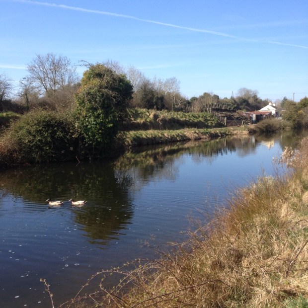


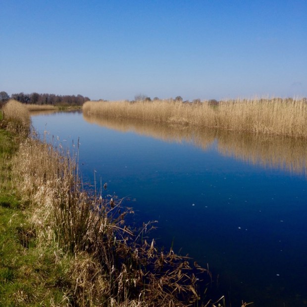
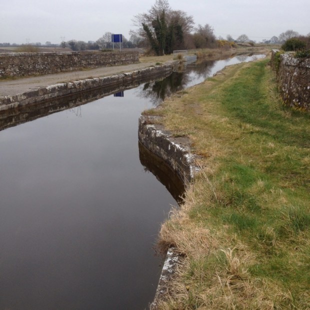 The aqueducts are very hard to photograph Lord knows how hard to construct. My admiration for the engineers and labourers of the time grows with every passing km.
 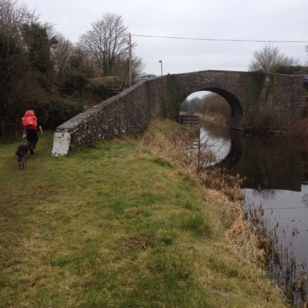 the canal went through a lovely wooded stretch awns the towpath became narrow and lined with primroses.


 No luck beyond Guiness ,lager and crisps which kept us going another 8 kms to the great pub restaurant Nanny Quinns at Thomastown harbour where we had a slap up.
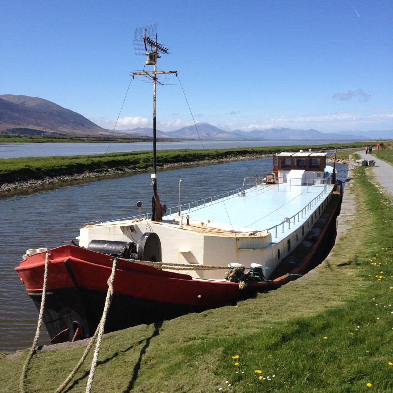
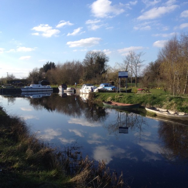
  Near here were moored up the last two working barges on the canal but it must have been awhile ago.
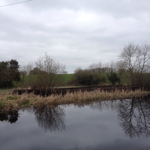
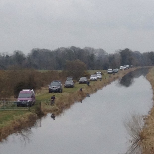
 A nice lad had just got himself a 20 grand bargain. New Diesel engine,7 year old steel hull. Him and some mates were taking it down to Dublin to live on. Their first boat trip. It had already involved a trip to hospital for a load of stitches after the lock key had spun on the rachet and cracked yer mans head open. Good luck to them.
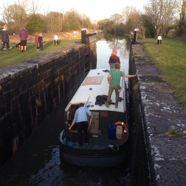
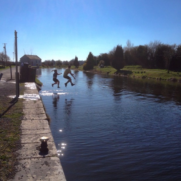
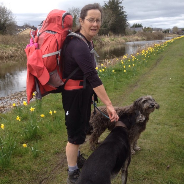
 In my relaxed state I was intent on starting to walk the wrong way, East rather than west, but luckily I now have a track buddy to put me straight. And I’m still following arrows
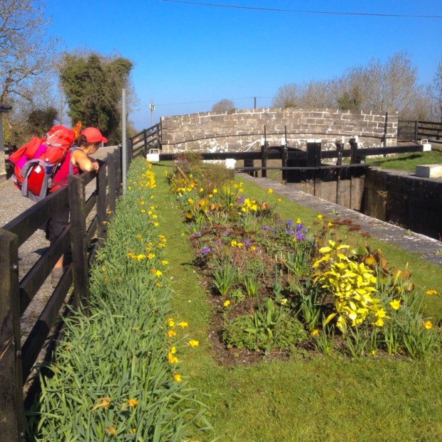
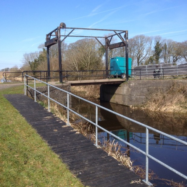
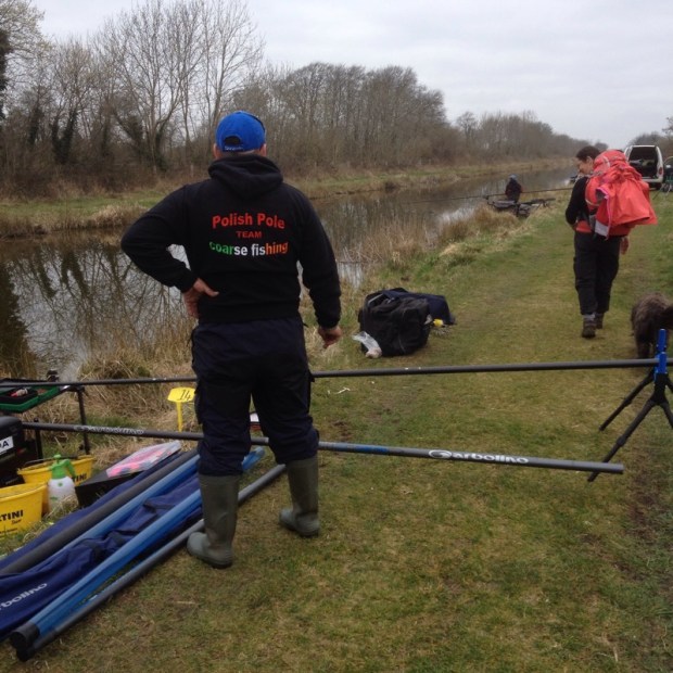
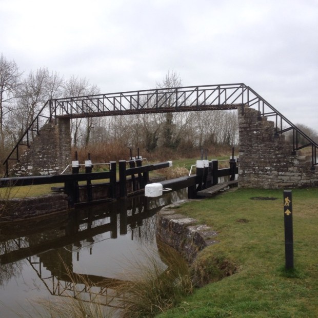
 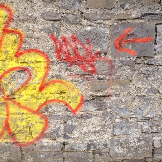 We followed this wall, of St Patrick’s college for a good long way, they must have some serious amount of land on campus. We went up through two locks and noticed how short and narrow they appear to be. You’d only get one boat in at a time. But there is almost no boats on the move anyway. This was the only one we saw all day.
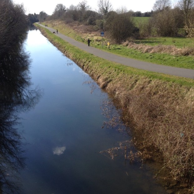
  After we walked the Grand Canal a few years ago we thought how underused the whole amazing resource was and the Royal seems the same. There’s some fine bridges that have to accommodate the canal, train track, river and one bridge even had a arch just for the towpath.
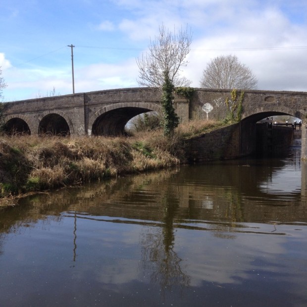
 where they were very keen on waterpolo and had numerous goals slung across the water.