CAMINO MOZARABE. ANTEQUERA TO DONA MENCIA. 5/6/7th March

34km/26km/26km
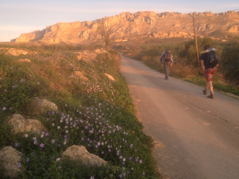
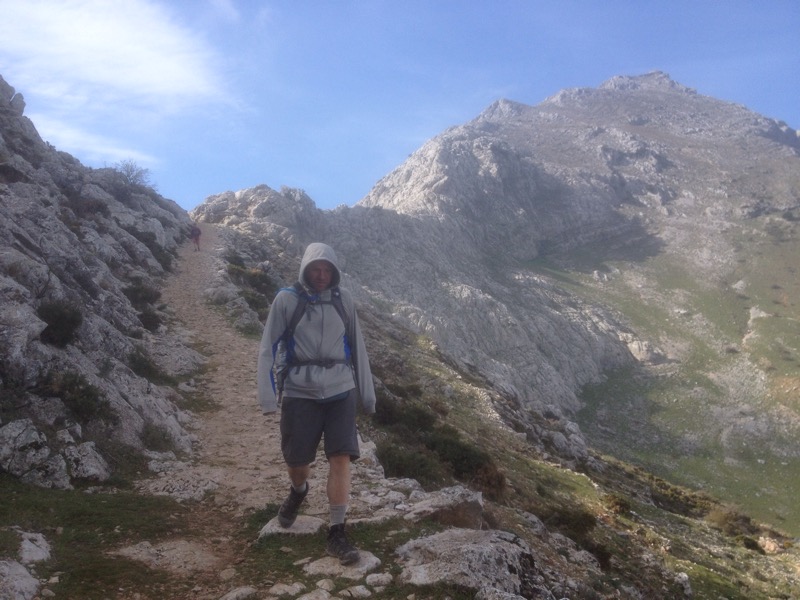
It’s a time of readjustment. To walking. To walking on my own. To being on my own. After a month of being with family and friends and a few days of hiking with a couple of buddies it’s back to just me and the trail and whatever random encounters are thrown my way.
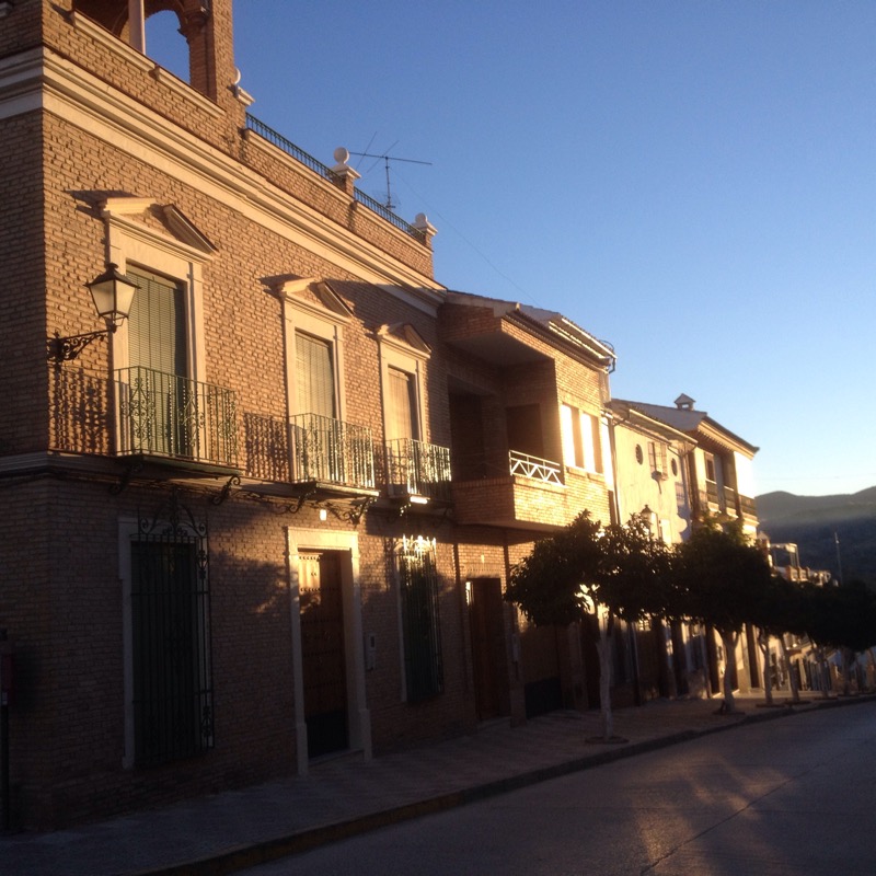
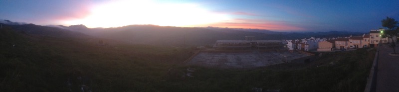
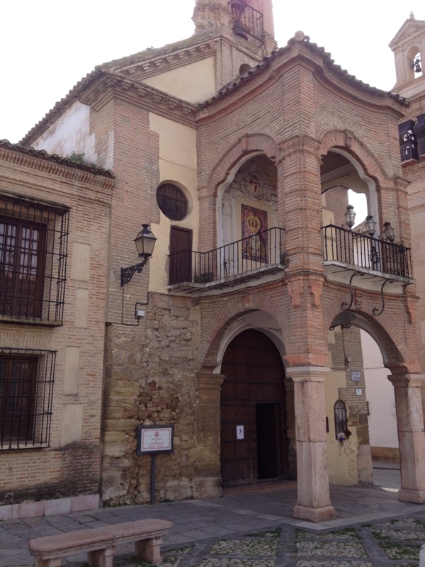
We left Antequera under a cloudy sky with a view back to the castle and forward to the face of Pena de Los Enamorados ( lovers rock).

2015/03/img_1324.jpg

2015/03/img_1323.jpg
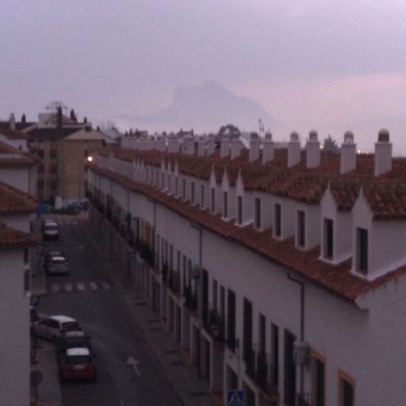
The illicit coupling of Moor and Christrian ended tragically atop the rock when pursued lovers chose to leap to their death together rather than be separated. My friends chose to take the bus the next day.
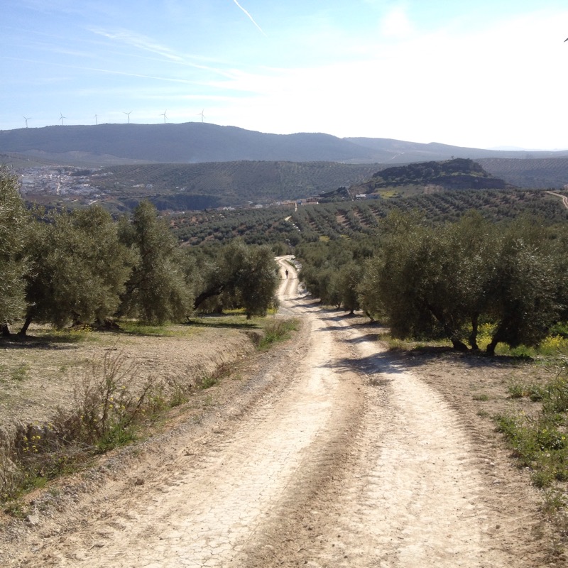
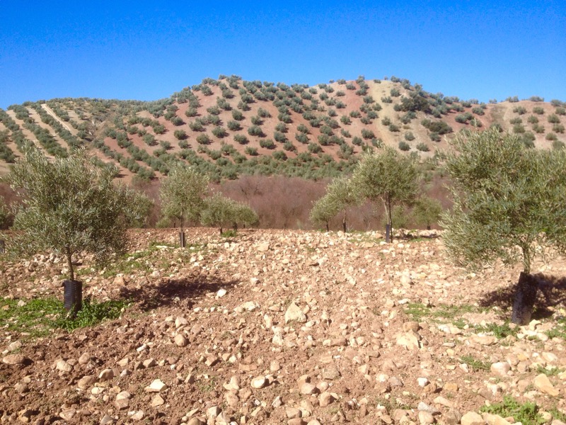
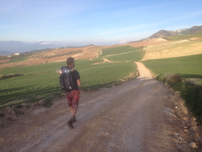
We were soon across the low lying vega on the outskirts of the city and after crossing under and over motorways were entering the olive growing area that still, a million trees later, dominates the landscape.

2015/03/img_1331.jpg

2015/03/img_1332.jpg
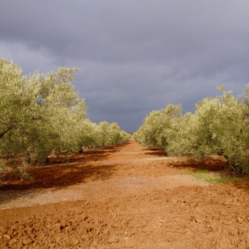
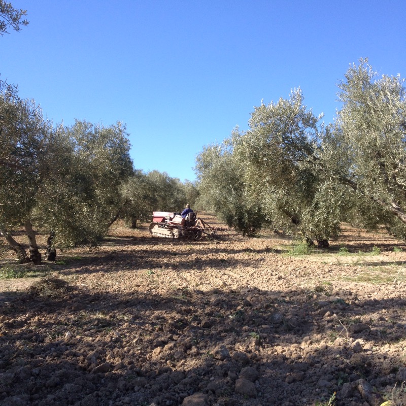
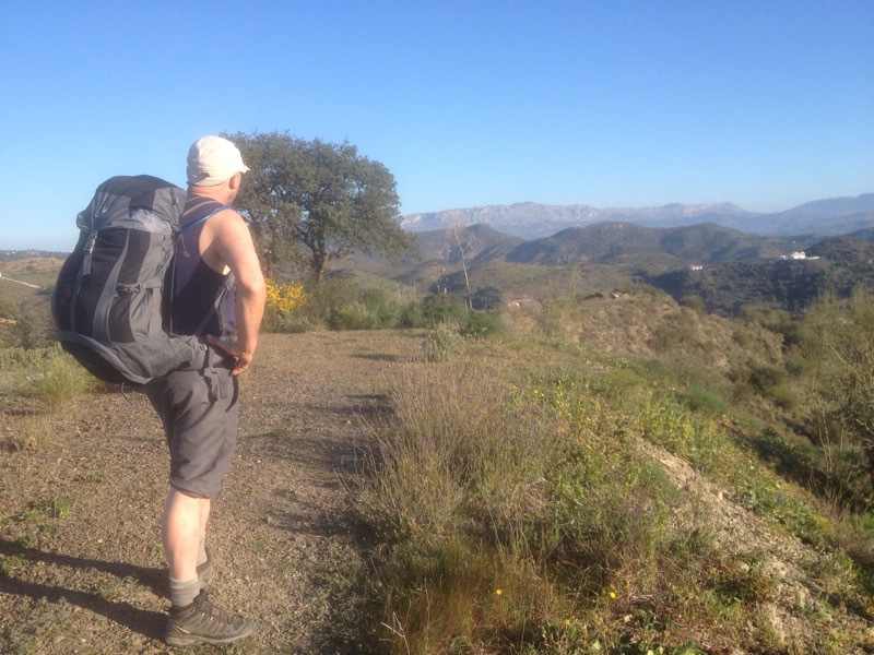
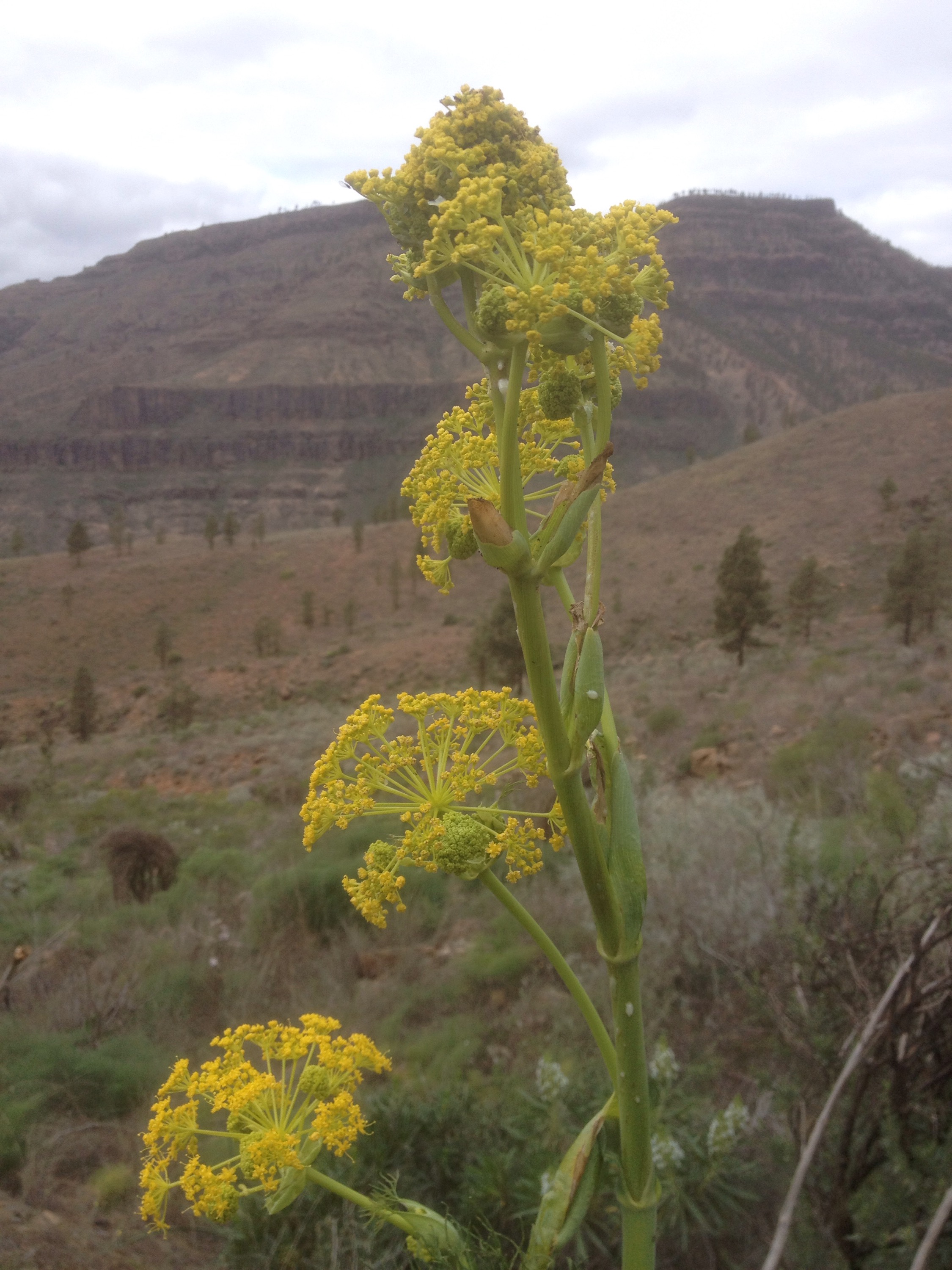
We did a fair bit of climbing, looking back to the Sierra we had crossed getting smaller and smaller. Through the single street of Cartaojal and on through miles of olives with the buzz of the pruning chainsaws drowning the birdsong which seems very rich considering the monoculture of the entire area. I guess the olive tree is a better biodiversity habitat than grassland. But the waste ponds by the olive oil factories don’t look good.

2015/03/img_1339.jpg

2015/03/img_1334.jpg
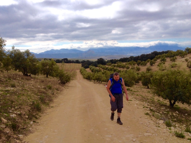
After 25km we passed through Villanueva de Algaidas and , with time and energy still available, decided to carry on past the nice looking Albergue another 10km to Cuevas Bajas. Down to the river and then up and up some more past the pruning, hoovering, fertilising and plowing farmers.

2015/03/img_1340.jpg

2015/03/img_1342.jpg

2015/03/img_1345.jpg
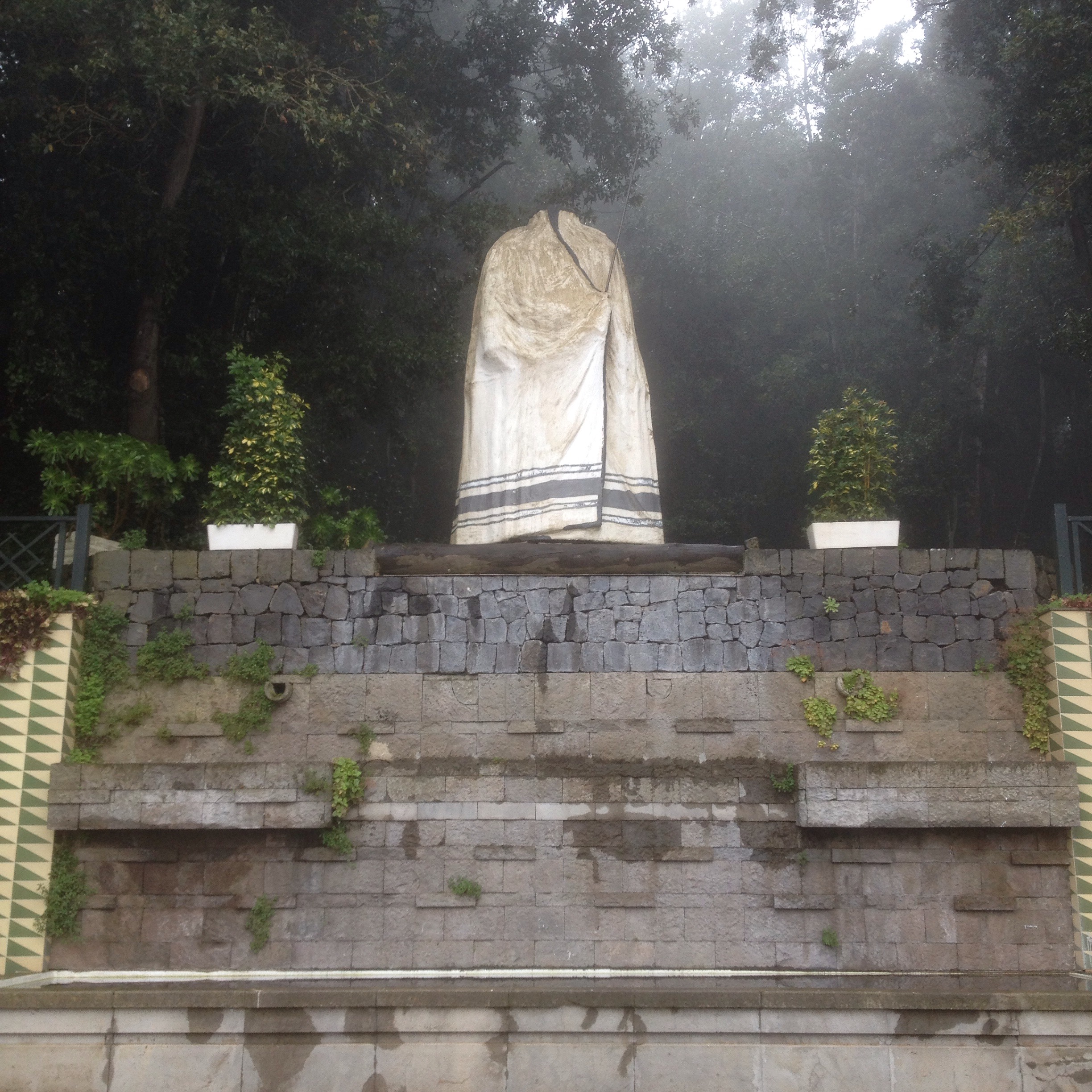
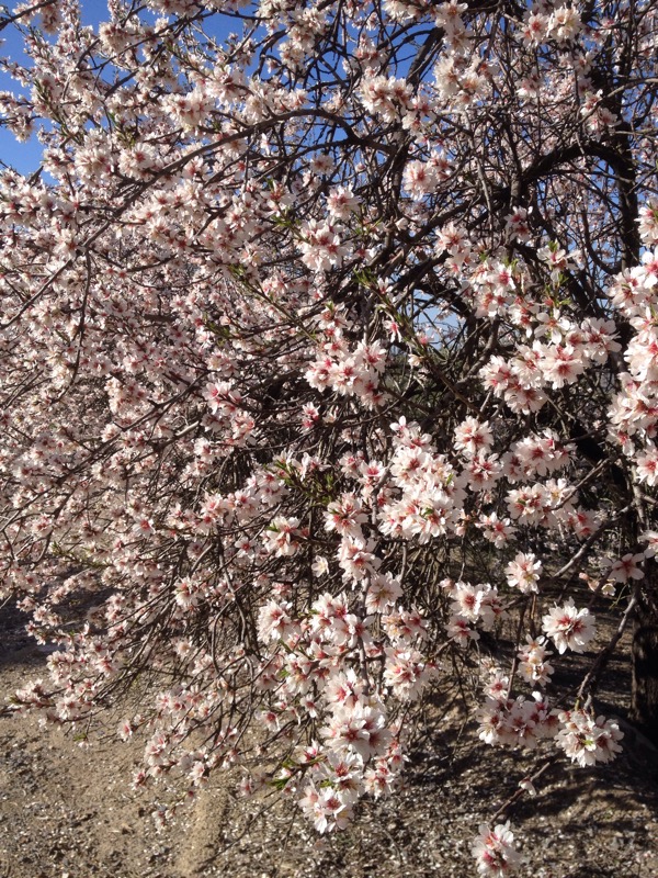
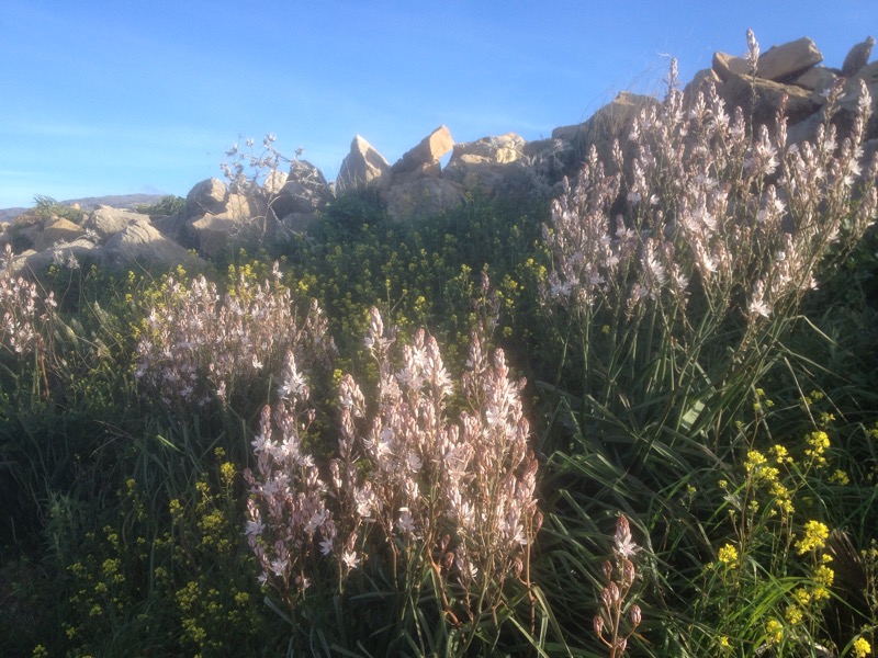
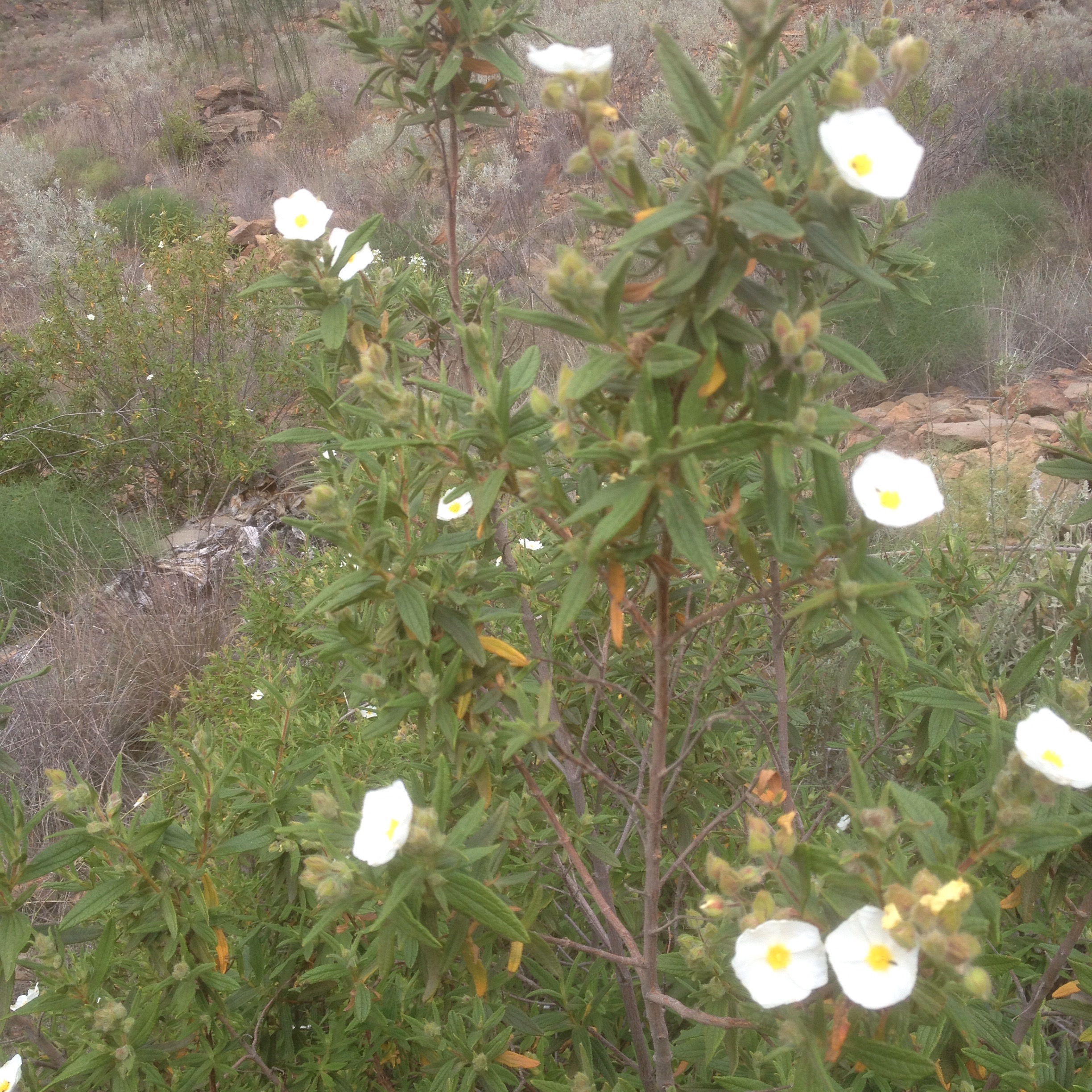
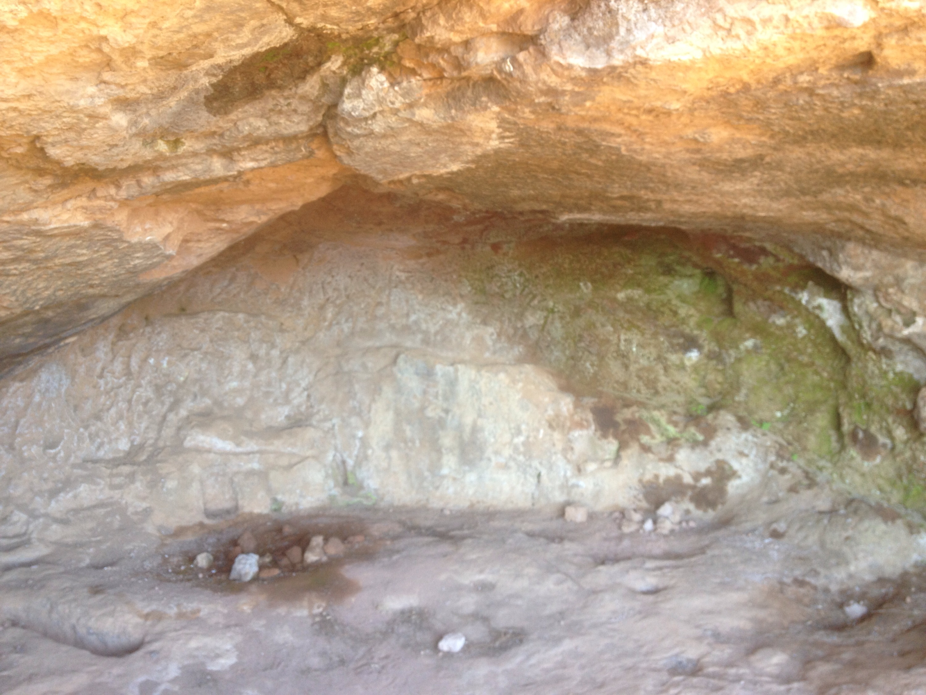
Eventually we crested the ridge at an ancient ruined finca with a beautiful old era from the days when grain was grown here and at last started to descend past almonds in full glory to the old bandit hang out of Cedron, where it looked like they were hoping a bit of restoration would bring in some tourists.

2015/03/img_1347.jpg

2015/03/img_1348.jpg

2015/03/img_1350.jpg
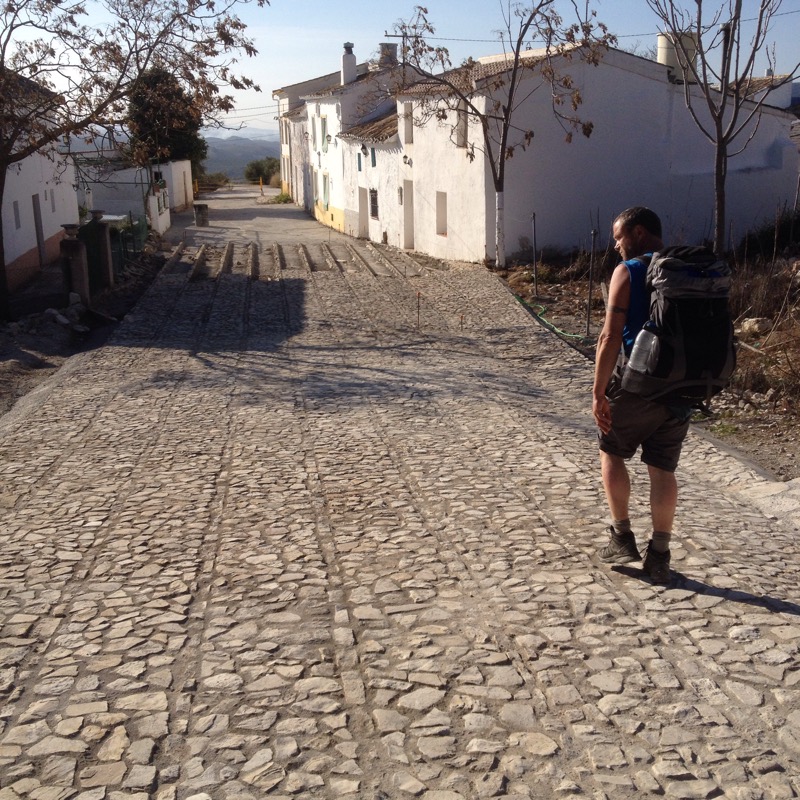
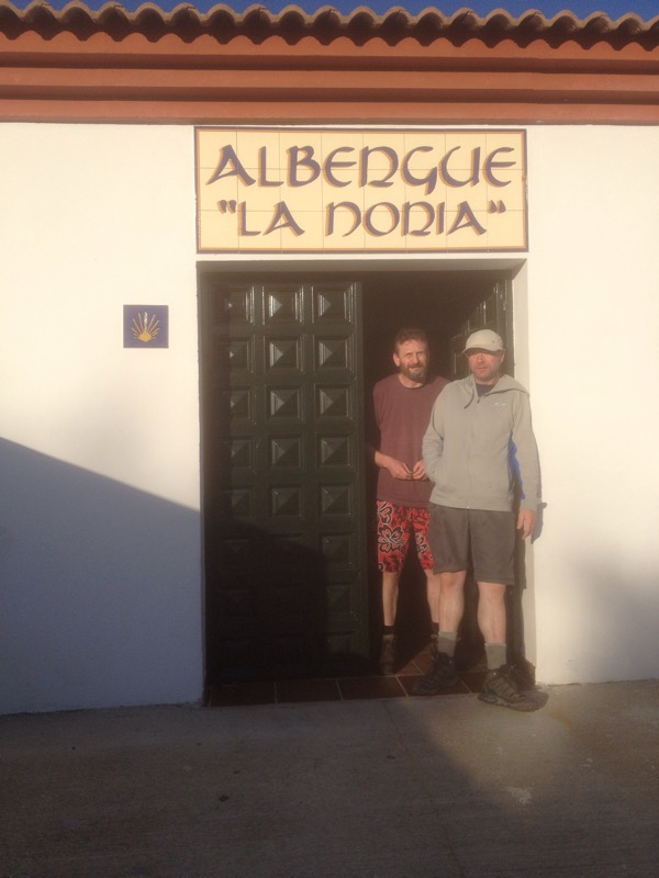
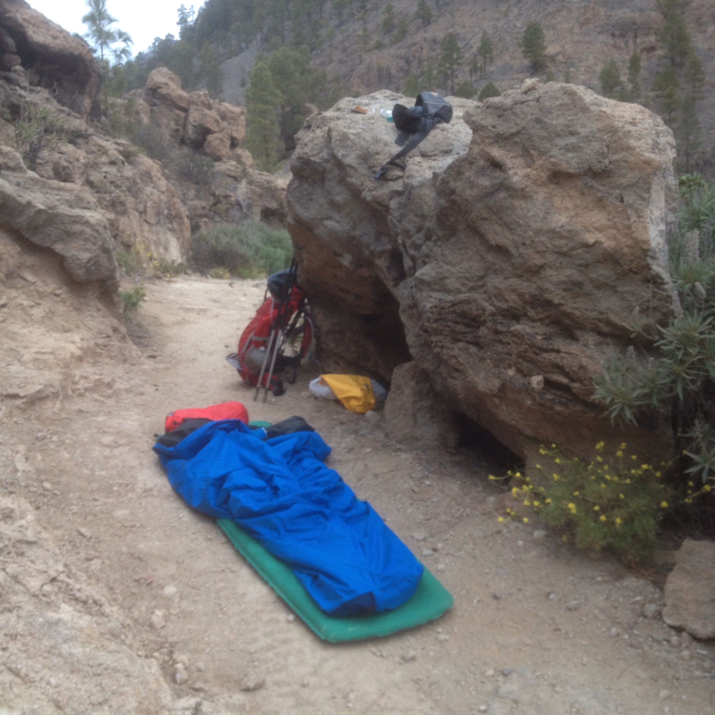
On down into Cuevas Bajas where we found a couple from Belgium already settled in the smart new 6 bed Albergue.

2015/03/img_1352.jpg
We were later joined by a Spanish man who was clocking 50 or 60 km a day and later still by another couple of Spanish men who had to try and sleep on the small sofas.
Blue sky had returned and the next couple of days were scorchio. The route went along the vega of the river Gentil to start before climbing up through more olives to Encinas Reales where Ivor Bundle left us and Ali Blabla decided to go the extra mile , or 20 km, to Lucena.
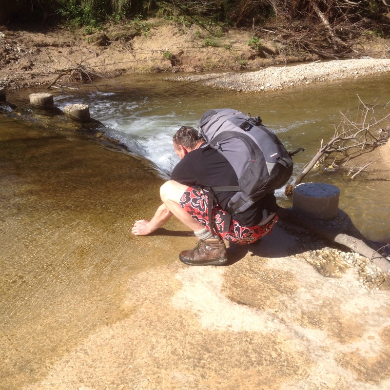
This route led us even deeper into olive country through the valley of the Anzur river, our first real flowing water for days.

2015/03/img_1353.jpg

2015/03/img_1356.jpg

2015/03/img_1357.jpg
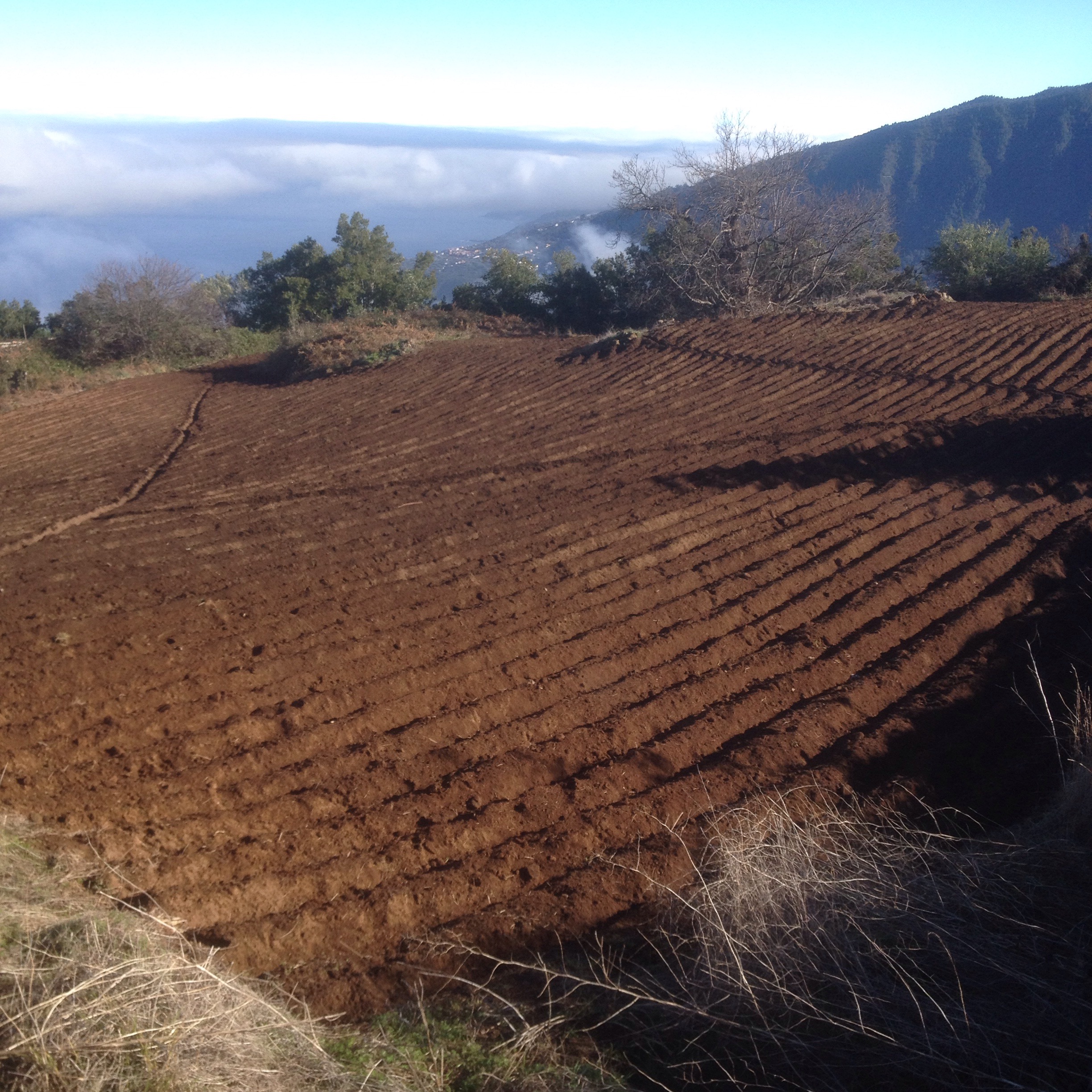
Vast areas seemed to belong to single vast fincas and others areas were obviously abandoned. The soils changed colour from white to brown to red but the crop remained the same

2015/03/img_1361-0.jpg

2015/03/img_1358-0.jpg
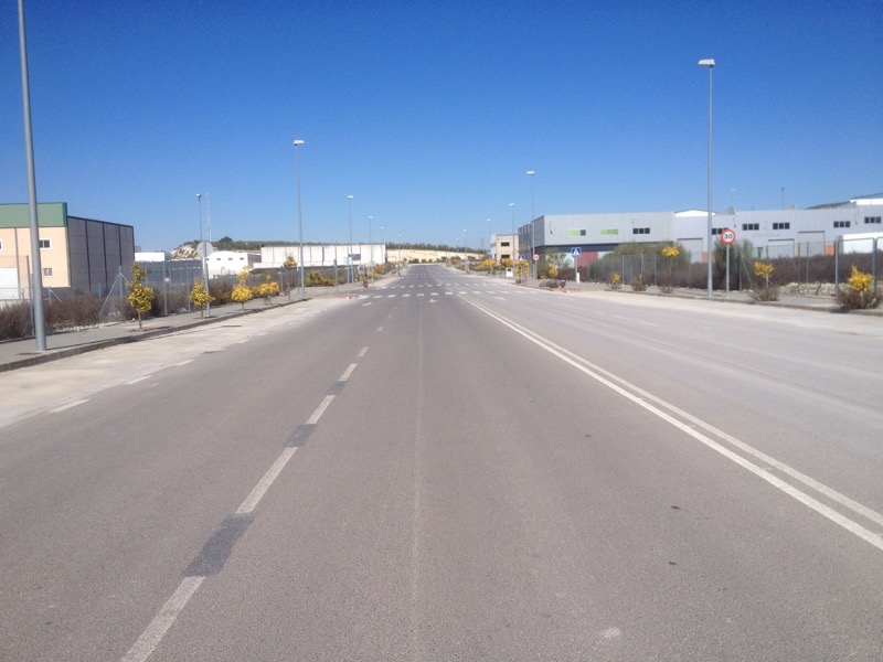
Lucena is quite a big city and we were led into it through a large and empty industrial estate but eventually got to the centre where Ali got the bus and I found a room in time to witness some fiesta drumming.

2015/03/img_1363-0.jpg

2015/03/img_1362-0.jpg
Past the church of Santiago in the morning

2015/03/img_1368.jpg
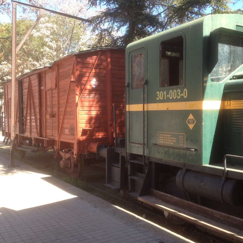
And onto the Via Verde La Subbetica, the old olive train track closed in 1985 and now a cycle and walking route which makes for an easy Camino trail for 26 km to Dona Mencia.

2015/03/img_1373.jpg

2015/03/img_1372.jpg

2015/03/img_1369.jpg

2015/03/img_1375.jpg
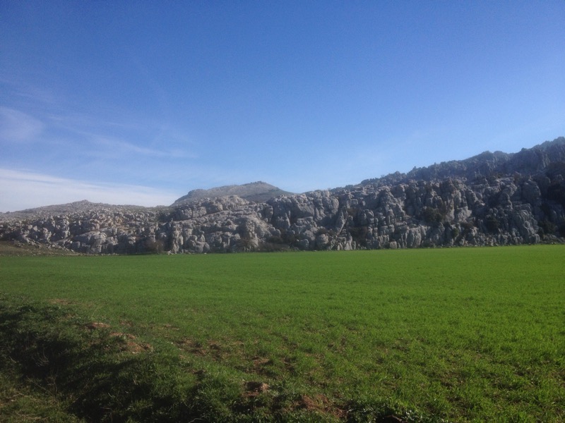
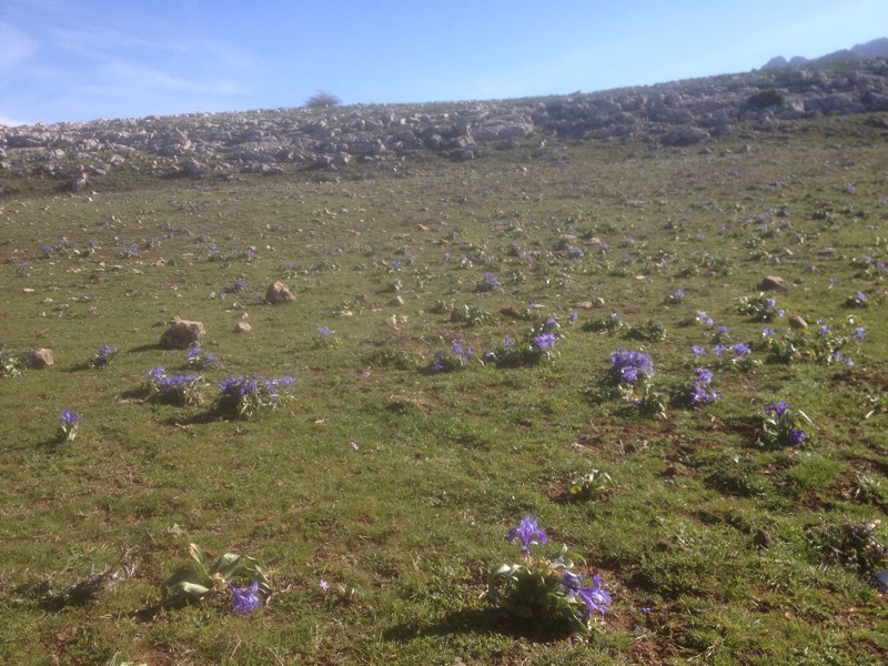
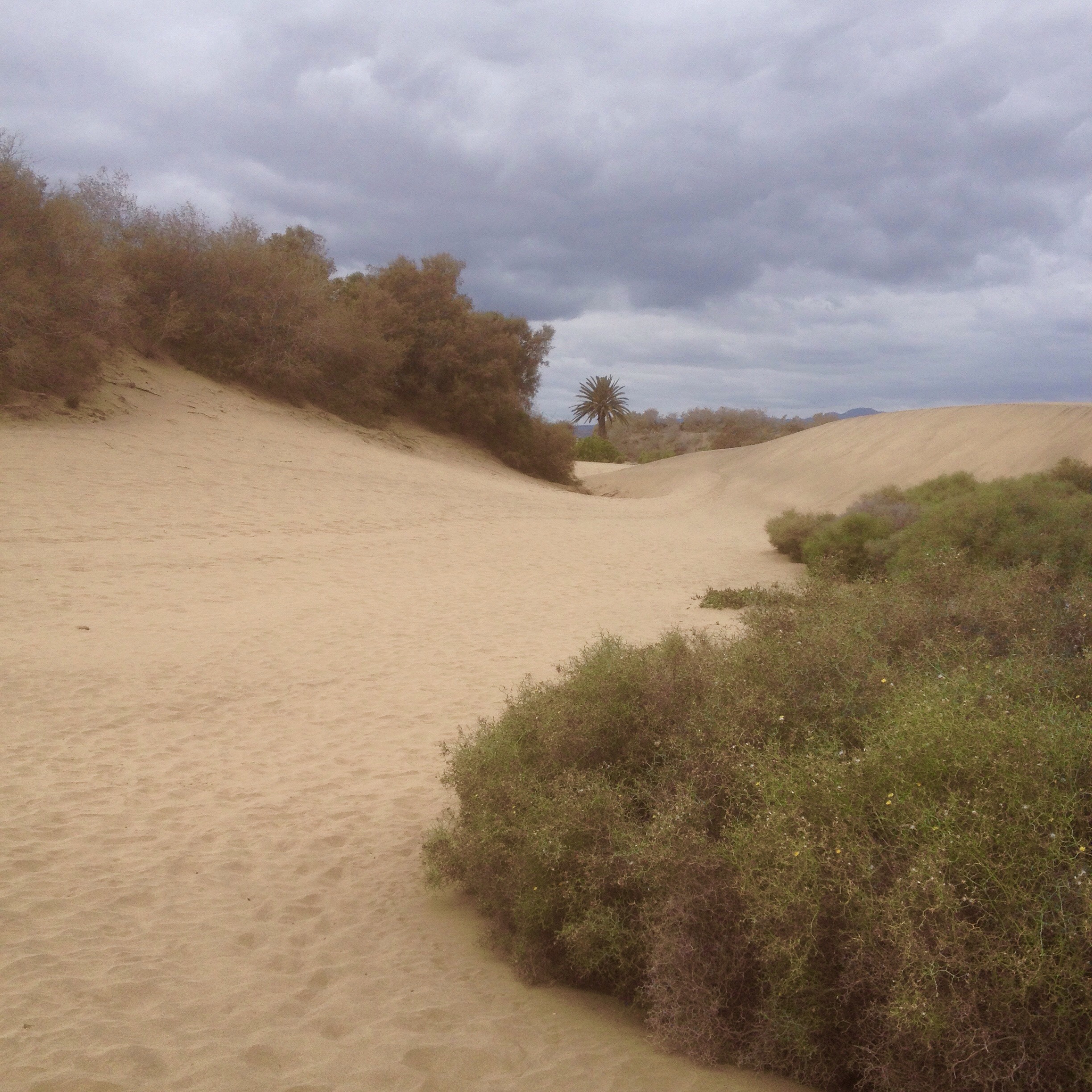
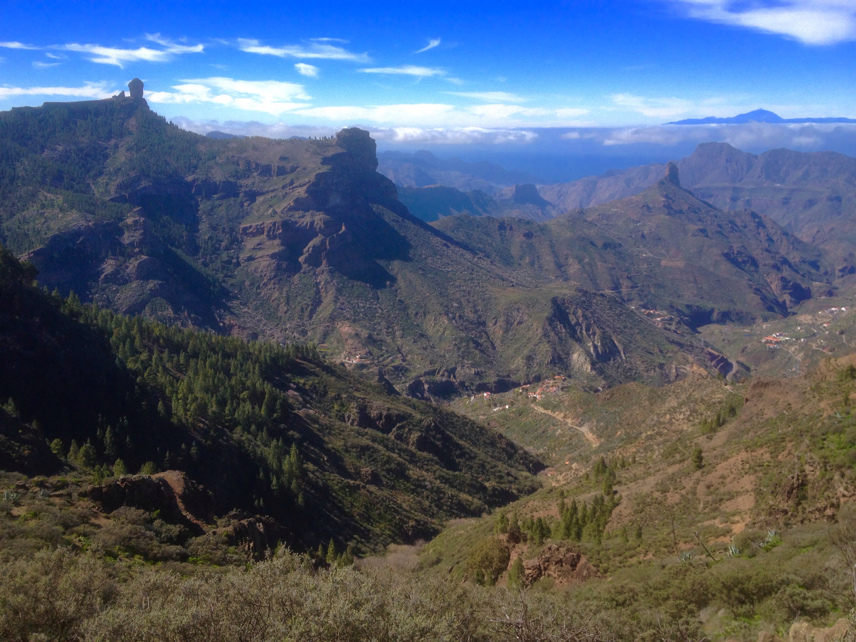
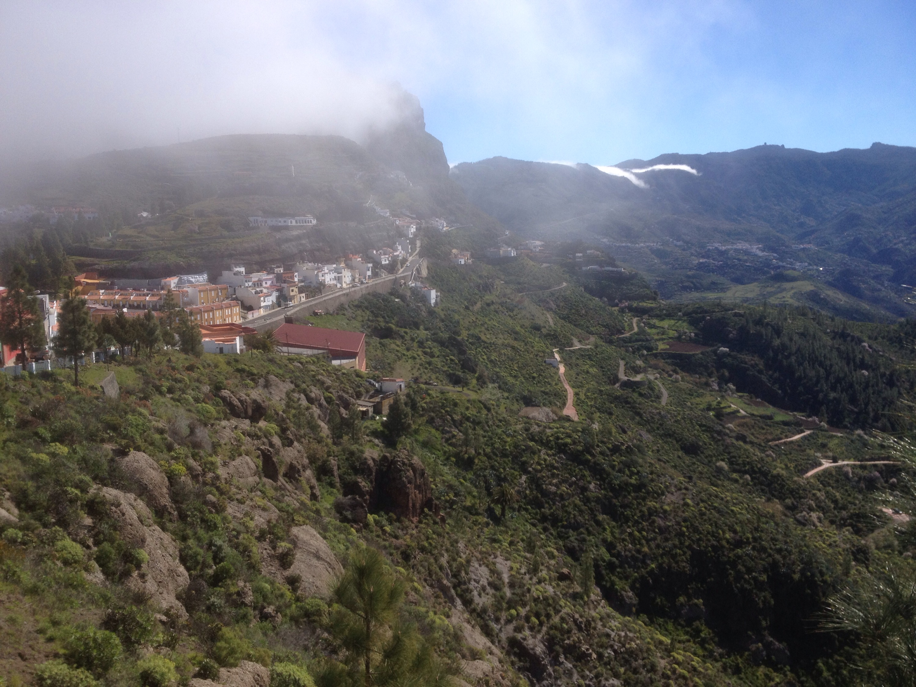
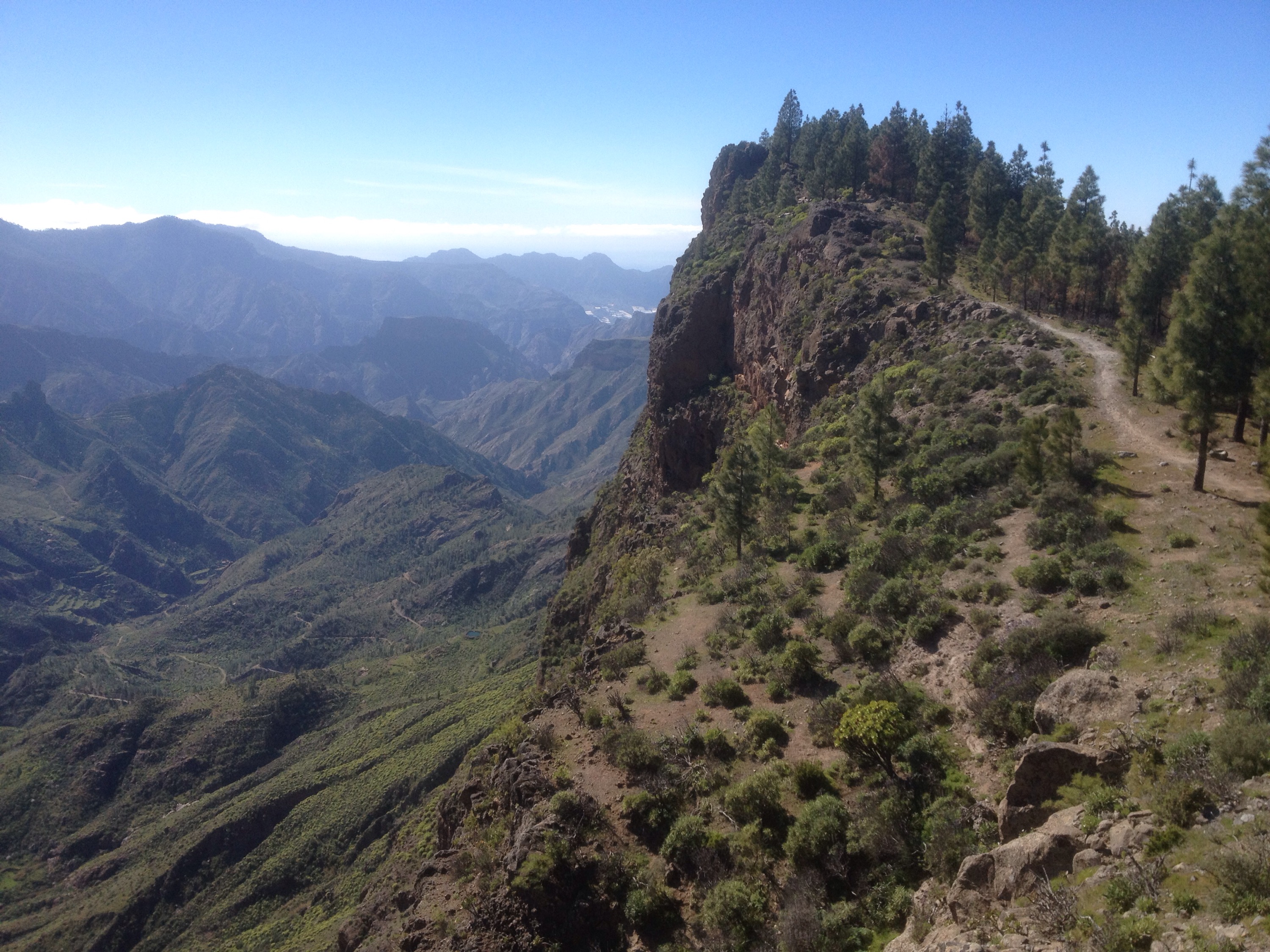
The route, although still through olive country was relived by the fact that it adjoined the Subbetica Natural Park, another of Spain’s many wild areas virtually unknown to tourists.

2015/03/img_1374.jpg
And so I found my way to a double room in a restaurant/hostel for 10€ in a town cranking up for a big do tonight. The plaza next to my hostel is lined with seating the stage is being built the bars are all ready for business. I guess it would be rude not to join them.

CAMINO MOZARABE Malaga to Antequera 2/3/4 March

On the trail again and the going has been hard.
Not the route itself ,taking a couple of days to get from the coast up through the hills to an altitude of 590mt at Villanueva de la Concepcion followed by an ascent to a pass at 900mt through El Torcal and down to Antequera at 570mt.
Not much to complain about in that but although the mind has been willing the flesh has been weak.
A very extended 60th birthday party resulted in a weakened immune system, allowing a nasty dose of man flu to hit on the first day out.
I’m walking with two friends from Ireland and two of us were struck with the hot and cold fever, coughs and sweats.
We didn’t get going from the church of Santiago in Malaga till about 12.30

2015/03/img_1280.jpg
So pushed up through the suburbs in the noonday heat, stopping at Junta de Los Caminos after 11km to light some candles for the three peregrino amigos at the wayside shrine and have a late lunch.
It was another 12.5km to our beds so we push d on with h an ETA of 6.30. Half an hour later we finally got off Tarmac and ran into problems with bad signage leading us astray and a detour of a few kms as the moon rose and the sun set. With our destination finally insight we hurried/staggered on to the final hurdle- a steep descent followed by an ever steeper ascent up through the winding narrow passageways of a the towns, stopping every now and again to ask directions to the albergue (always further always up).
We were very lucky when, at about 8pm, we came upon it there was a member of the civil protection outside.
They look after the albergue for pilgrims there and he was able to give us keys and show us the set up.
A shower food and bed quickly followed, after a 26km first day.

2015/03/img_1283.jpg
Next morning we were out by nine and lost by ten. Somehow we missed a turn on the track, but we realised quite quickly and could see on the map how to get back on track a little while later.
Beautiful weather again-blue Sky and sun (hot- should have started earlier) and lovely scenery with innumerable ranges of hills fading into the distance and the trail winding gently through the surprisingly empty countryside of grain fields and almond and olive groves, dotted with vast abandoned fincas.

2015/03/img_1296.jpg

2015/03/img_1284.jpg
We could see our destination, Villanueva de la Concepcion long before we got there, descending to cross the river Campanillas on stepping stones and taking dirt roads that had recently been very muddy up and around the low hills

2015/03/img_1286.jpg

2015/03/img_1288.jpg
before the final exhausting climb up to the village where the my manflu wasted body collapsed into the albergue bed on arrival, temporarily revived for a dinner out, and shivered , coughed and sweated through another long night.
We had been sharing the albergues with a Swiss women who had done a few Caminos with her adapted shopping bag trolley, loading it to the handlebars with bags of kit and dragging it behind her on a network of straps. She’s had to tackle some rough ground with it but overall it seems to work for her.
Arriving in Antequera she announced she wouldn’t stay at the same albergue as us if there was only one dormitory as she didn’t want to put up with our coughing, wheezing and snoring anymore.
She’s heading for Merida, 3 weeks into my trail so I guess she’ll be avoiding me for a while yet.
I had woken with a clearer head and was able to properly enjoy the days walk for the first time, feeling a bit of energy return.

2015/03/img_1290.jpgr
We’d set off in a fine pink sunrise, heading towards the cliffs of El Torcal, the limestone peaks and pinnacles glowing in the light.

2015/03/img_1293.jpg
Blankets of cloud were spread over the mountains here and there and the air was cool and clear, still scented by almond blossom. The big hedge less fields reached far up into the Sierra del Torcal

2015/03/img_1298.jpg

2015/03/img_1305.jpg
And at the top, in a karst landscape of jumbled rocks, cleared ultragreen fields and a sea of wild flowers, like a MegaBurren, we had our breakfast break and marvelled.

2015/03/img_1301.jpg

2015/03/img_1309.jpg

2015/03/img_1306.jpg
A few meters further and we were through the Puerto de la Escaleruela and on a switchback stone path down to the dusty cattle roads leading into Antequera.

2015/03/img_1313.jpg

2015/03/img_1315.jpg
Down into the historic centre of this city in the very heart of Andalusia, to our albergue in the church of Santiago where our last fluless man had to go to a clinic to get his infected swollen finger sorted and the church youth group did some serious skipping in our little plaza.

2015/03/img_1319.jpg

2015/03/img_1322.jpg

GRAN CANARIA 7th FEB

The journey ended, as it began, at a lighthouse in a desert.
I was glad I hadn’t gone last night down the prescribed route of avenues, roundabouts, shopping centres, hotels bars and restaurants to finish but had instead run the gauntlet of all of the above from my room in San Fernando to the sea but then had walked across the Dunes de Maspalomas for the last few kms of my journey to the Faro.

2015/02/img_1238.jpg

2015/02/img_1240.jpg
It seemed fitting to finish as I had begun, with sand in my boots and to end at the beginning.
Although more tame and controlled and busy with tourists than the desert surrounding the Faro at El Puertito on Fuerteventura but it took me back to hiking on the soft yellow sand there and to muse on all the other surfaces my boots have been over on all the seven islands of the Canaries I have experienced since.
Sand in all its forms, from soft and deep to solidified and calcified, lava of every type, colour and contortion. Black ash, red and grey pumice, pine needles, lush grass, dirt track, fertile earth, moss mud and lichen. Pebbles, cobbles and boulders, concrete, tarmac and the finest of stone paved mule tracks.
But the shifting sands of Maspalomas were a fitting finish representing the final result of the process of erosion of the mountains, born of eruptions beneath the sea, eventually returning to it.

2015/02/img_1242.jpg

2015/02/img_1243.jpg
With the lighthouse in the distance I came upon a little mock up of what could have been a Guache ceremonial site or settlement. Just a play thing in the midst of the tourist trappings but their lives on these islands should be remembered.

2015/02/img_1245.jpg
On past the empty loungers on this grey day to the finish.

2015/02/img_1246.jpg

2015/02/img_1250.jpg
One million, twenty nine thousand, seven hundred and twenty five steps later.
Six hundred and fifty one kilometres.
Five metres short of twenty thousand metres of ascent.
I’ve noticed that most travel- hiking etc bloggers include kit reviews where the latest high tec , high spec, high price gear is given the once over.
My approach is somewhat different. I wanted to show you don’t have to spend a fortune to have adventures in the wilds.
I set off with bargain basement equipment and was wondering about approaching one of my main suppliers, Lidle for sponsorship ( not really but not a bad idea).
My 15€ Lidle tent, although not tested in extreme conditions has done its job well as has my cheap Alpkit bivvy bag.
30€ worth of sale priced Hi Tec boots have lasted better than top brand Brashers I used on the Camino.
The Lidle supplied hiking poles have saved many a fall and fitted into my hand luggage that the Leki never would.
Socks, shorts and bamboo t shirt, all Clivit brand from Lidle are as good as you need.
The Eurohike sleeping bag could have been warmer but I was using it at nearly 2000mt and it was ultra light.
In fact the equipment that let me down the most was the Berghaus rucksack and the IPhone.
So don’t let a lack of top of the range gear stop you getting out there- remember the stuff out celebrated explorers had, and I’m not talking about the ones with teams of porters carrying the champagne and truffles.
This Ramble is over now and I have a few weeks R and R before the next one begins.
At the beginning of March I’ll be starting off on the Camino Mozarabe from Malaga, joining up with the Via de la Plata, and hopefully making it to Santiago de Compostella about 6 weeks later.
If you have enjoyed reading any of these ramblings it would be nice if you left a comment because I have no idea who is out there, apart from my much appreciated faithfulls.
Buen Camino

GRAN CANARIA 6th FEB

I must have walked about 30km which wasn’t what I had planned when I left my stony bedroom. I had planned to get to Ayaguares only about 4 hours away, have a leisurely lunch then carry on for an hour or so and find somewhere nice to camp before the final leg.
Didn’t work out like that.
After a pretty good night with the cloud briefly touching every now and again I could see my surroundings for the first time. I looked back down the path I’d climbed the night before.

2015/02/img_1170.jpg
With the “fingers of God” feeling their way around the valley below I made my way over the pass to enter an uninhabited wilderness of mountain rock and pine.

2015/02/img_1177.jpg

2015/02/img_1173.jpg
This was the Degollada de la Manzanilla where a sign informed me that I had made my bed at 1190mt.
Even though the vastness ahead seemed devoid of any signs of human life there were tracks winding through it and I could make out some mysterious complex miles into the empty quater. And hear the sound of a digger working somewhere.
A while later I may have come across the explanation of the mechanical noises when my planned route was interrupted by this sign.

2015/02/img_1178.jpg
A pretty permanent looking sign which led me to believe that this wasn’t some minor rockfall like the ones I’d come across so far. Maybe I could skirt around it or climb over it but I didn’t want to get to the bottom of the valley to find I couldn’t and have to come all the way back again. So I followed the sign for the S57 pointing me towards Ayaguares. And very nice it was too. It slowly gently descended across the dry rocky landscape under towering pinnacles and around great boulders. First through thinly scattered pine and then scrub which on closer inspection contained a wealth of colour.

2015/02/img_1179.jpg

2015/02/img_1193.jpg

2015/02/img_1184.jpg

2015/02/img_1181.jpg

2015/02/img_1182.jpg

2015/02/img_1194.jpg

2015/02/img_1196.jpg
The reservoir or Embalse de Ayaguares grew closer until I could look down on a higher one the Embalse de Gambuesa which had a lovely looking collection of houses and gardens drawing sustenance from is waters.

2015/02/img_1201.jpg

2015/02/img_1197.jpg
As I walked passed the mountains reflected in the water I noticed a little group practising some kind of wholistic healing. It was that kind of place.

2015/02/img_1200.jpg
The bar in the village was not the kind of place for a leisurely lunch however with no food on offer, so after a cafe con leche and a look at their photos of guys using the vaulting poles I’d seen on La Palma, it was back on track.

2015/02/img_1202.jpg
As I started my climb out of the village I stopped for a chat with a fella sat outside a roadside house advertising his massage services. Phill from Gloucester, whose been coming to the canaries during the winter for 20 hrs. He told me bad weather was forecast so it was just as well I was coming to the finish. He also asked if I’d like to talk on his internet radio show next Tuesday,broadcast on fm in the uk, radio winchcombe. If I’m here I will.
I knew there was a long steep climb ahead so I somewhat reluctantly pulled myself away and carried on towards La Montana in search of food and rest. A tough climb it was.

2015/02/img_1210.jpg
At last I came to the top of the switchback road at the gap of Cima Pedro Gonzalez but I was too tired to stop and admire the view. The whole way was now on road which I find harder going and I was aware of tender feet for the first time. Walking along the ridge top I looked down upon Palmitos Park, a very popular tourist attraction set deep at the back of a ravine. A “wildlife” park it had a range of animals in captivity including 4 or more Dolphins in these pools.

2015/02/img_1211.jpg
The next disturbing sights were the over the top opulence of the villas of Montana Alta, an area Phill had described as the Beverly Hills of Gran Canaria. These pictures cannot convey the scale of the wealth on show, or perhaps debt, because there were a lot of for sale signs.

2015/02/img_1217.jpg

2015/02/img_1213.jpg
The Palm tree lined avenues, all named after composers, had broad pavement, there were no pedestrians, and scores of parking spaces for car that weren’t there.
A glorious folly of an urbanization that now has a large ugly unfinished concrete housing complex fenced off at its entrance.
By the time I got to La Montana lower, a real village, it was obvious I had run out of camping options. So after stocking up on some food and water it was a dash to the finish. It was road and suburbs and camel ranches and go cart track and Aqualand all the way.

2015/02/img_1220.jpg

2015/02/img_1221.jpg
It wasn’t really the relaxed and victorious end to my trail across the Canaries I had hoped for so I put off the last few km to the Maspalomas faro for a day and headed straight for the hostel I had just booked on line. Phill had told me about it and about a great tapas bar next door.
The tapas were excellent, the best i shad this trip. The accommodation is awful, the worst I’ve had this trip.
So my next post will be the last of this trip and I must include my kit review. Speaking of views, here’s mine.

2015/02/img_1228.jpg

GRAN CANARIA 5th FEB

2015/02/img_1169.jpg
Stony ground was my bed last night and rock was my pillow too.
A morning wasted trying to sort out why I had no phone credit or cellular data allowance. I had to go to the very up market Parador hotel who let me use their internet and after hours of frustration was able to get communication going again.
So I didn’t head off from Cruz de Tejeda until nearly midday with a white mist around and a red mist of anger within.
But as the external cloud rose and dissipated so did the internal and I settled down to enjoy the unfolding views.

2015/02/img_1151.jpg

2015/02/img_1149.jpg</a
As usual there was a steep climb to start with, back up above the lingering cloud with great panoramas opening up to the west and the Roque Nublo. I climbed through now dry pine woods and crossed mountainsides scattered with abandoned fincas any one of which would be a handsome addition to my remote property portfolio.
Gran Canaria is the only Canary Island which hasn't adopted the signage for the GR131 and at times it was confusing as the path numbers seemed to change frequently.

2015/02/img_1150.jpg
I kept bumping into hikers some of them repeatedly as they tried to find their trail amongst the mass of signage.
After a disappointment at Llanos de Garanon where I discovered my hoped for bar restaurant was closed I headed on over yet another high pass to new vistas.

2015/
02/img_1152.jpg
A bare rock path across the ancient volcanic rock led me towards a sublime walking experience.

2015/02/img_1153.jpg
After reaching an altitude of about 1700 mt I started to go down the most beautifully constructed path it has ever been my pleasure and privilege to have contact with. My phone camera could not possibly do it justice as its scale was overwhelming. It wound its cobbled way down and around the sheer face of the mountain like a scaly clinging snake and brought joy and respect for the artistry and engineering craftsmanship of the souls who had constructed it.

2015/02/img_1154.jpg

2015/02/img_1160.jpg

2015/02/img_1156.jpg
When I passed some resting hikers I had to share my passionate feelings towards the pieces of stone we were walking on. They weren’t alarmed and seemed to agree.
Under the cliffs and down across a ridge we went but sadly the original construction team had done their bit and it became rough and ready. The plant life made up for the lack of human achievement.

2015/02/img_1161.jpg

2015/02/img_1164.jpg

2015/02/img_1165.jpg

2015/02/img_1167.jpg
Eventually I came down to a road and then a modern version of the sublime trail above. No buttressing needed a simple downward path but paved with stone into the village of San Bartolome where I needed some water and food.

2015/02/img_1168.jpg
Unfortunately this meant a steep descent into the heart of the village and an equally steep return before i could be on my way again. This was supposed to be the end of the days stage but I had planned to travel on and find somewhere to camp. I hadn’t planned to start at 12 o’clock though so leaving at 6 didn’t give me long before darkness crept in.
Out on a dirt track leading passed fincas with savage barking dogs and then up an increasingly steep and rugged trail with no possibility of camping anywhere to be seen.
It got steeper and more rugged and the surrounding cliffs became taller and more ominous with rockfalls and land slides everywhere. It looked like the only place I could sleep was on the track itself but the rockfalls put me off that. There were a couple of big overhangs I could have crawled into but I had a fear of a million tons of mountain crushing me in the night so I staggered on and on up and up as the darkness increased. I had to zig zag up a seemingly endless stretch of lumpy bumpy track to reach the Coll and flat ground at last. I found a little niche of shelter just before darkness closed in and with a weary eye on the cloud hovering just above called it a day.

GRAN CANARIA 4th FEB

After last nights pretty miserable conditions and wet start again this morning I’m treating myself to a stay at El Refugio at the end of the day’s stage, about 18 km and 1000 mt of climbing later.
I’m right at the cusp of cloud and clear here at Cruz de Tejeda, a col or slightly lower gap in the mountains which encourages the mist to spill over through it from the north and east.
My back is turned away from a greyed out mass of nothingness while I face a hazy sun towards the west with vague outlines of fantastical pinnacles or Roques as they are called here.
A hazy start and finish then but the haze has transformed from wet cloud to dryish mist and in between were truly beautiful sunlit vistas.
I’m still at 5000ft so it’s going to be cold later and if I needed another excuse for a night in a soft warm bed my phone is eating batteries and needs to be fed.
And the luxury of electricity means I don’t have to go to bed at 8 o clock.
This morning I abandoned my damp and run down quarters as soon as it was light and headed back into the murky misty forest with its festoons of green lichen.

2015/02/img_1112.jpg
As I made my way along the road a taxi van stopped and asked if I needed a ride to Artenara, the next town on route.
It was tempting but already I could sense the cloud thinning as I climbed so proudly explained I was a rambling man and would get there by foot.
My boasts were justified soon enough as I climbed a stairway to heaven

2015/02/img_1121.jpg
And the views started to appear.

2015/02/img_1118.jpg

2015/02/img_1123.jpg
Artenara came in sight sitting on the right side of the mountain with the cloud struggling to reach it over the ridge.

2015/02/img_1125.jpg
With one more climb the vistas to the west opened up.

2015/02/img_1126.jpg
And soon enough I was basking in sunshine in the attractive village having a cafe con leche on the plaza and marvelling at the diverse climates on the islands. They call Gran Canaria a mini continent because of its micro climates and they are a phenomena. You can nearly strand astride two completely different weather worlds, one damp and cold and the other dry and sunny.
So with a weary eye on the bank of cloud I headed off and up, past some of the cave houses which are plentiful.

2015/02/img_1128.jpg
Up through lovely verdant terraces almost alpine in looks.

2015/02/img_1129.jpg
Reaching ever greater heights and views of the classic pinnacle Roque Nublo.

2015/02/img_1130.jpg
With dramatic drops into the caldera 1000’s of mt below I was impressed by the nerve and speed of the mountain biker who came bouncing past.

2015/02/img_1132.jpg

2015/02/img_1131.jpg
I went past the caves, Cuervas de Los Candiles, a sight of pre Hispanic ritual and with a fine collection of cave art.
The ancient Canarians had etched into the Rock with stone picks over 300 symbols of the female pubis and vulva. I thought it fitting that I should discover such a place around St Bridgits day and when a little while later I came to a collection of similar caves one of which was open, I thought about spending the night there overlooking the Tejeda caldera but thought the powers may not approve.

2015/02/img_1137.jpg
I have no idea how old this rock carving is outside the caves

2015/02/img_1138.jpg
And the maker of this little trail side cairn had put in more effort than usual.

2015/02/img_1134.jpg
One more steep climb and a glorious traverse across Degollada de las Palomas with stunning views west to Mt Teide on Tenerife still with me across an ocean of cloud.

2015/02/img_1143.jpg

2015/02/img_1139.jpg
Till finally I was down in the mist again at Cruz de Tejeda, happy to have a room and admire the white out without having to sleep in it.

2015/02/img_1144.jpg

GRAN CANARIA 3rd FEB

The day started soft and ended hard. There was a fine drizzle whilst waiting for the ferry and by the time we got to Gran Canaria there was thick cloud on the mountain tops.

2015/02/img_1083.jpg
On the hike out of Puerto de las Nieves I overtook a couple of well ladened backpackers and when we all met whilst getting supplies soon after we had a chat. They had been camping and hiking around the island for 10 days and were about to do the same 1400 mt climb as me. The difference was one had a pack weighing 22kg and the other 18kg!!
They said they were very slow and stopped often. They carried 4 or 5 litres of water each and had numerous items they admitted were a luxury. Like books and a mat just for sitting on. But how they struggled up those mountains was beyond me and helped my relationship with the monkey on my back. “He ain’t heavy, he’s my trail brother”
It’s a pity it was so dull because the trail was spectacular. One of the Germans took this of me as we rose up above the indented coastline.

2015/02/img_1087.jpg
Then I left them behind as i climbed on a lovely old road/trail/track/path up past an old era and remains of a limekiln and onto the flank of a 800mt mountain.

2015/02/img_1090.jpg

2015/02/img_1092.jpg

2015/02/img_1089.jpg
Luckily the gusty wind was blowing me against the slope because the path was like a thin line drawn across the mountain with a very big drop to the left and nothing to stop you till you hit the bottom.
After awhile I heard shouts and roars and saw a fella peering over a cliff edge and hurling rocks and abuse to something way down below. Sure enough a shepherd who had an errant flock. I came upon them in a bit grazing by a WATERFALL!

2015/02/img_1099.jpg
I hadn’t seen one of them in awhile but was to see plenty more and cross plenty of streams as I was climbing into the cloud again. Up more Tolkeinesque stone steps.

2015/02/img_1104.jpg

2015/02/img_1102.jpg
The track zig zagged up and up towards sheer looking cliffs but eventually found a way through to the high wet forest above dotted with eucalyptus trees and strange round hollow boulders ( a volcanic bomb perhaps).

2015/02/img_1107.jpg

2015/02/img_1105.jpg
And so I returned to the cold and wet I’ve been attempting to escape. All the now familiar signs were there the wet brown pine needles, the moss and the hanging threads of lichen now joined by the ghostly pale trunks of eucalyptus.

2015/02/img_1109.jpg

2015/02/img_1110.jpg

2015/02/img_1108.jpg
The visibility disappeared along with everything else into thickening cloud and heavier rain and it was with relief that I eventually reached the zona recreativa de Tamadada.
But it was too exposed without the shelters I had been hoping for so I carried on a km or so to the basic forest campsite where there were toilets but nothing else.
Apart from a deserted and crumbling youth camping complex where I found an open room in which to hide from the elements and hope for better conditions tomorrow.

TENERIFE 2nd FEB

The ferry timetable to Gran Canaria didn’t work out for me as I had some shopping to do to keep this blog up and running ( plug adapter and data credit etc) and the later crossings wouldn’t have given me time to complete the first stage. So I had another city day here in Santa Cruz de Tenerife.
A big seemingly prosperous city it is too. I had found a cheap room between the bus station and the ferry port in an area near the cultural hotspots.
The first thing that I saw, and heard, was a gleaming red Ferrari throttling past as I stepped out to explore.
Just across the road from the hotel was T.E.A. Tenerife Exposition de Artes a huge modern building housing galleries theatre cinema cafe and the finest 24ht library I’ve ever come across with 1000’s of books, periodicals, movies and music and acres of desked study space.

2015/02/img_1062.jpg
On my way to the port to get my ticket for tomorrow I admired the amount of space given over to undisturbed street art and graffiti. Just a small selection here.

2015/02/img_1065.jpg

2015/02/img_1064.jpg

2015/02/img_1067.jpg
Even the municipal hoarding around building work at the port was covered in colourful artistic expression.

2015/02/img_1066.jpg
A very enlightened approach that other cities should adopt. In the book shop at the TEA there had been lots of books on street art, the bulk of it Spanish.
On my return I visited the Museo de La Naturaleza y El Hombre set in 3 stories of a fine old building with a contemporary remodelling. The geographical displays really helped me put my experiences of the different islands into perspective and to understand why they are so varied. A lot of it is to do with their vastly different ages as they erupted into existence from the Canaries hot spot beneath the sea floor. From Fuerteventura in the east 20 million yrs ago to El Hierro in the west only 1.2 million yrs ago they have been weathering and there age accounts for the widening of the ravines.
I learnt how the trade winds bring the low lying humid clouds between 500 and 1500 mt and deposit about 700 litres a square mt. I’m not sure how that compared with western Ireland but I can attest to its wetness. I was able to identify more of the trees I’d been hiking through in that damp cloud forest. Hollies, arbutus,viburnum,prunus Lusitanica, wild olive, tamarix, willows and others.
There was also a vast collection of animal exhibits and although not a huge variety of mammals have made it out here, butterflies and moths have.

2015/02/img_1070.jpg
One of the things that struck me in the Hombre sections was the connections between the Guanche , the Berber related original inhabitants, and the ancient Irish.
They lived in ,and built for spiritual purposes , similar circular stone constructions and along with Galicia, Portugal and the Moroccan high atlas used similar decorative symbols.

2015/02/img_1068.jpg
There were some fairly macabre displays of Guanche skulls that looked a bit like a Damien Hirst piece

2015/02/img_1072.jpg
And some mummies

2015/02/img_1073.jpg
After all of that it was time for some refreshment at the cafe in the Tenerife Auditorium, another presumably very expensive project designed by … Oops what’s his name… Calatrava ? He has a trademark arch thing going on and I think he did a bridge over the Liffey in Dublin.

2015/02/img_1079.jpg
So hopefully I’m all set for my final island tomorrow at 8.30.
And in the meantime I have about half a GB of data credit that runs out at midnight so I might try watching a bit of TV.

TENERIFE 1st FEB

After my epic sleep and with no damage by falling trees I broke camp. I’ve been using pine needles to make a deep soft bed, Ray Mears would be proud, and I haven’t slept that long in any pension bed.
The days hike,20km or so, consisted of a lot more ups and downs nearly all of it in pine or laurel forest, the last half in the cloud, so views were limited.
There was a lot more wooden steps, it seemed at times like job creation, and a lot of zig zagging across debris strewn forest slopes.

2015/02/img_1044.jpg

2015/02/img_1046.jpg</a
Being out of touch I had forgotten it was a Sunday so was slightly surprised to be sharing the forest with so many mountain bikes, hikers, trails bikes and runners hurtling past me down the steep drops. And I often heard gunshot off in the distance although I haven't seen anything to shoot.
I think it's brilliant that all these ancient paths, and there are tens of thousands of kms of them across Spain, used for centuries, probably with a fair bit of drudgery involved, should be kept open and repaired for recreational use.

2015/02/img_1049.jpg
At the supposedly “well equipped” rest area of Siete Fuentes , where there were no Fuentes let alone Siete, and the table and benches had disappeared, I was joined by a middle aged couple of likely lads with big staffs out on a hike who insisted I shared their vino and some dry powder(?) with them. I shared my La PALMA fig cake and they then produced more vino and sweet cakes. I had only been hoping for some water. Water to wine– must be some kind of divine intervention.
I certainly needed it to deal with the next few hours of life in the wet mist,trudging along the muddy trails.

2015/02/img_1048.jpg

2015/02/img_1050.jpg
I past a wayside shrine, of which there have been many.

2015/02/img_1051.jpg

2015/02/img_1052.jpg
And eventually made it to LA Esperanza where the end of the GR131 on Tenerife was marked by a headless statue.

2015/02/img_1054.jpg
I was lucky enough to get a bus straight away to LA Laguna and another down to Santa Cruz where I catch my ferry tomorrow to Gran Canaria.

TENERIFE 31st JAN

2015/02/img_1006.jpg
That was my camp on Fri night, up in the pine forest overlooking Puerto Cruz. There must have been a fiesta going on because I could hear drumming and fireworks. It looked strange because the cloud came over the city again and it was under lit glowing orange and white with flashes of colour when the fireworks went off.
It was a cold night up there and a cold start in the morning.
Down and down through the pines and into the laurel, tree heather and broom of the lower slopes in the cloud forest. And sure enough there was the most.

2015/02/img_1015.jpg

2015/02/img_1020.jpg
And wet grass- probably of no interest to you but I hadn’t seen any since El Hierro really.
There had been a lot of work done on the track. Clearing of bushes and rocks. It amazes me to think of all the upkeep and effort put into maintaining these trails. Fair play.
Coming down on the north side of Tenerife was like entering a different island. Moist dewy grasses, brambles, bracken and spuds growing in deep rich brown soil.

2015/02/img_1024.jpg
There were passages down the slopes made of log steps, seemingly a favoured track material on this side of the island as I was to see hundreds more.

2015/02/img_1026.jpg
I had been looking forward to some fresh water at the Fuentes y Cruz del Dornajito, a well known stop off spot for travellers for century’s as the only spring on the way up to Mt Teide.

2015/02/img_1027.jpg
I couldn’t find the spring unfortunately but soon I was accompanied by the sounds of burbling water as I walked beside a big covered acequias.

2015/02/img_1028.jpg
I was passing through a large area of laurel woods that had been thinned and cleared and I could hear the shouts of the workers as I went.

2015/02/img_1029.jpg
After what seemed a very long time, convinced I must have missed a turning somewhere as there were no trail markers, I eventually came out where I should have done surely proving the vast length of the Spanish kilometre.
Up to LA Caldera a so a recreativa set into a circular volcano cone where there was a restaurant for me to stock up a belly full to laste the next 24 hrs or so.
What comes down must go up again it seems because the next section had a 1000mt ascent involved.
It was 30km to the finish from La Caldera so I wanted to get at least another 10 km under the belt before camping. And with a good dinner in me, a fine day, what could be easier?
Within a few hundred mt I was confronted by a sign saying track was closed due to bad conditions.

2015/02/img_1030.jpg
After a discussion ( kinda) with some Spanish ladies about the dangers ahead I carried on around the red tape and soon came upon a big rockfall.

2015/02/img_1032.jpg
There then followed a good 3 hours of pretty hard going trail. Very steep in places, quite a few more rock falls and lots and lots of wooden pole steps. And wooden pole fencing over long stretches with long drops next to the track. Some of it was pretty dramatic. Towering shear cliffs with steps zigzagging backwards and forwards across them.
There were big trees in the woods and views out across the cloud with Teide still hanging in there.

2015/02/img_1034.jpg

2015/02/img_1033.jpg

2015/02/img_1035.jpg
There had obviously been some big winds because there was a lot of debris from the trees everywhere. Branches, cones(big) and clumps of giant needles(bigger) all of which made me a little wary of camping beneath them all.
But needs must, and with twilight approaching I found another little flat knoll to put the tent up on and sleep for 11 hours straight.

2015/02/img_1041.jpg

2015/02/img_1042.jpg