Month: May 2017

LA GRAN SENDA DE MALAGA: GR 249. 16/17th May. Alfarnatejo to Villanuevo del Rosario (22km) to Archidona (23km)

After a day off the trail we got a lift back to where we had walked to last time we were here together and promptly went off route somehow. Instead of a level hike around the hill between Alfarnatejo and Alfarnate we followed the path that went over the top of it. So we found ourselves looking down on the town we were supposed to be climbing into.

IMG_4177.JPG
After the huffing and puffing of the climb we needed coffee when we got down there and so we gate crashed what turned out to be some old folks day centre thinking it was a bar. They didn’t seem to mind, I guess we fitted right in.
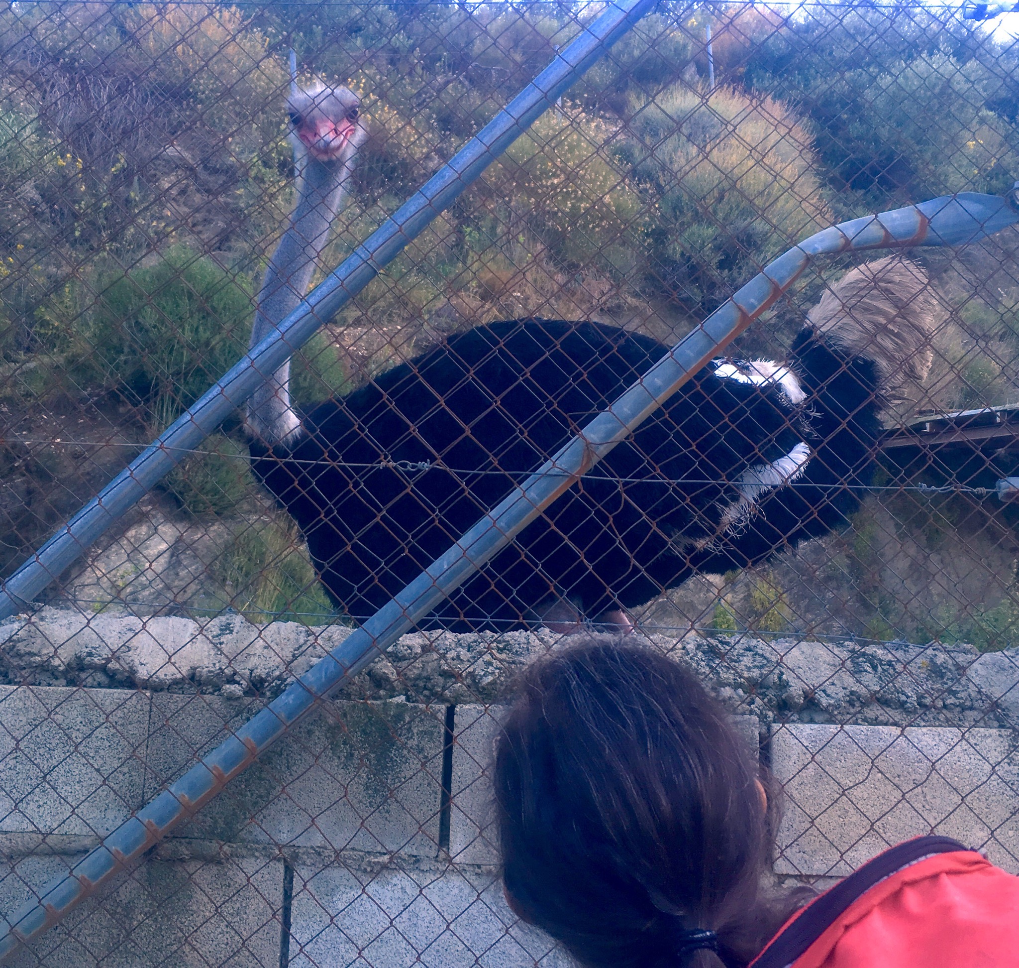
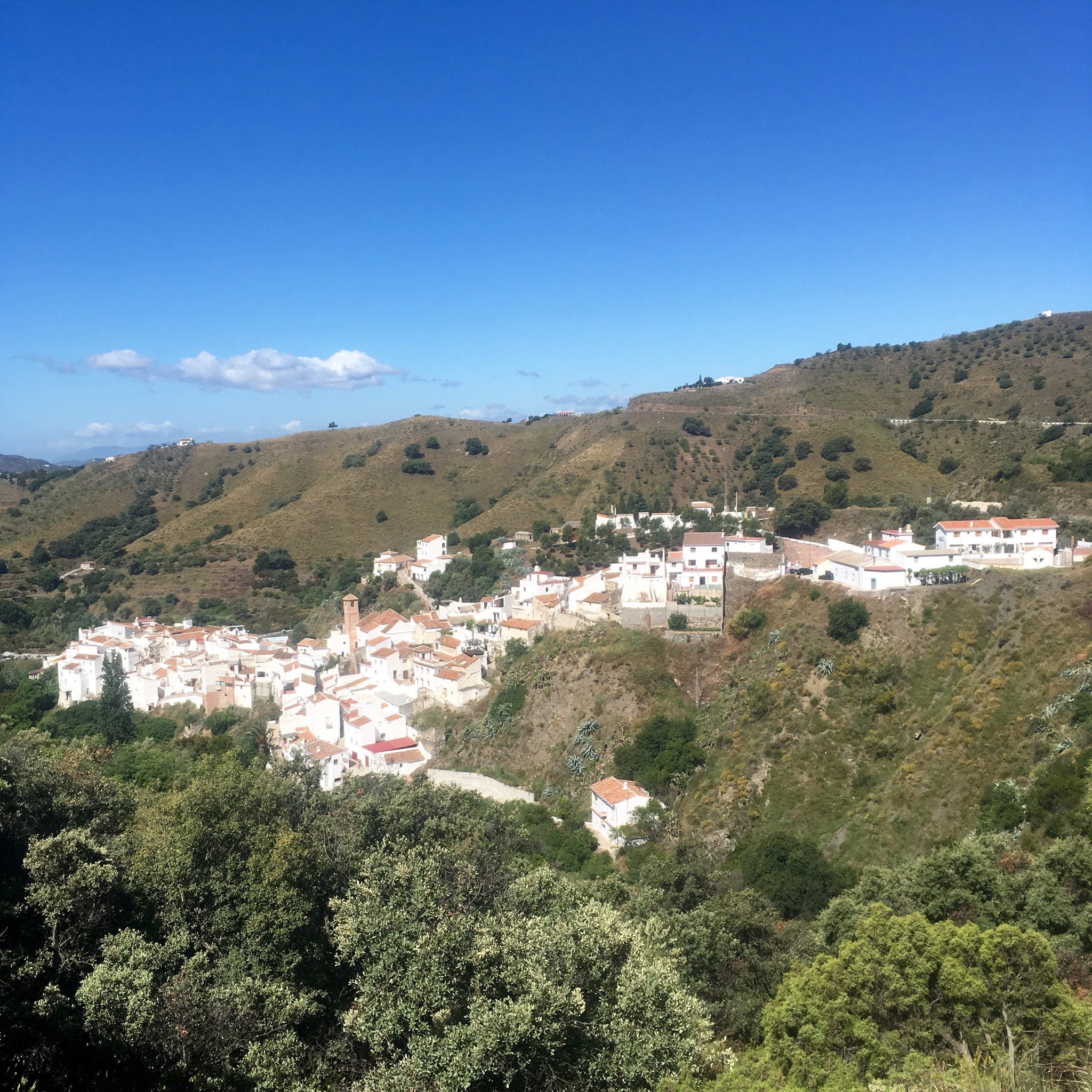
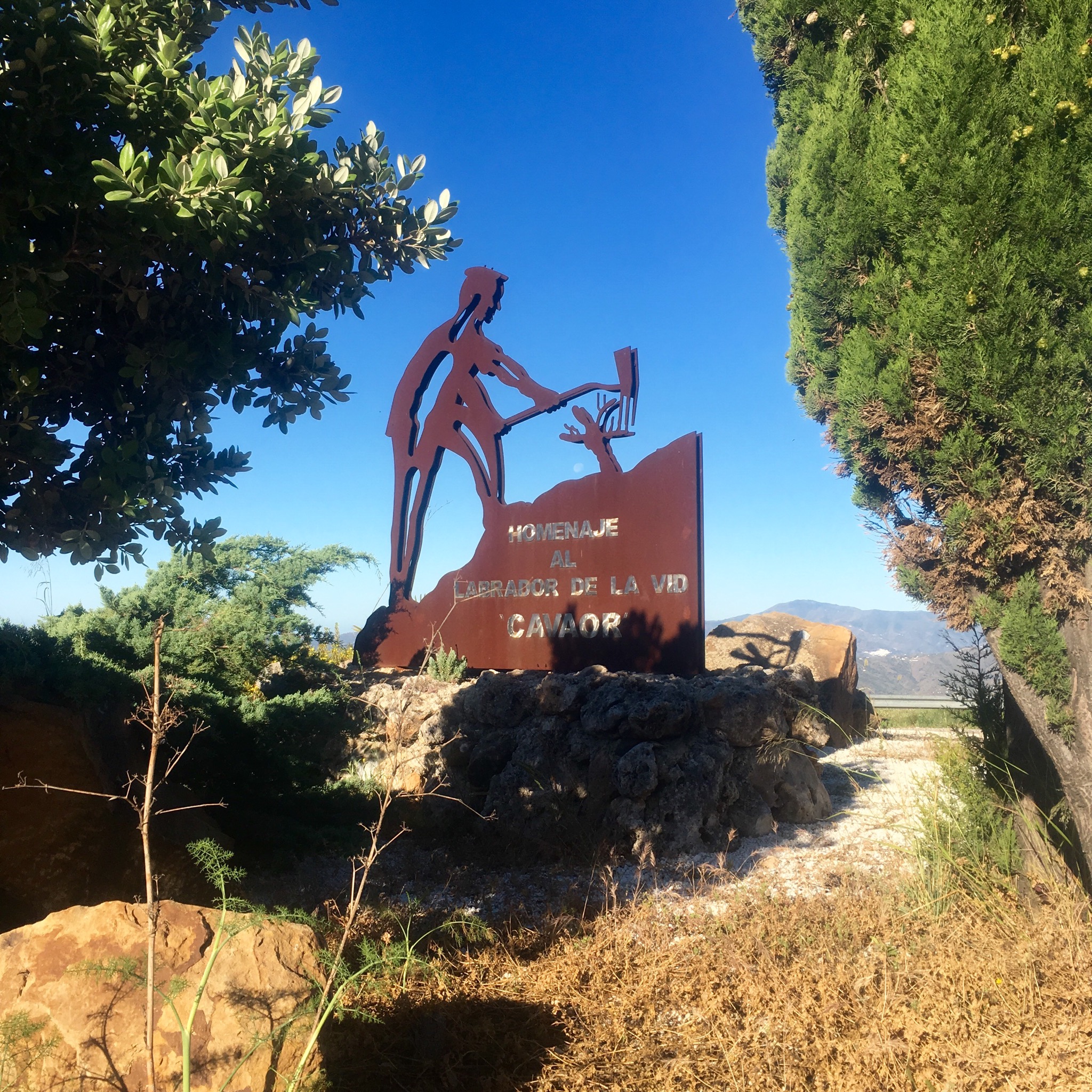
It was a funny old town anyway

IMG_4179.JPG
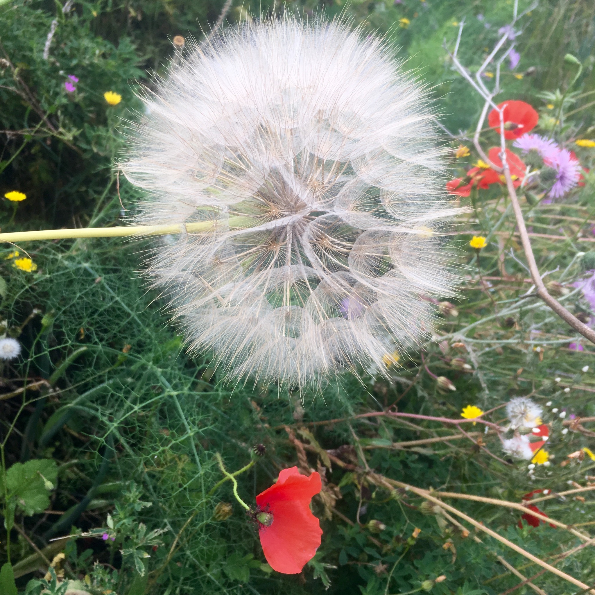
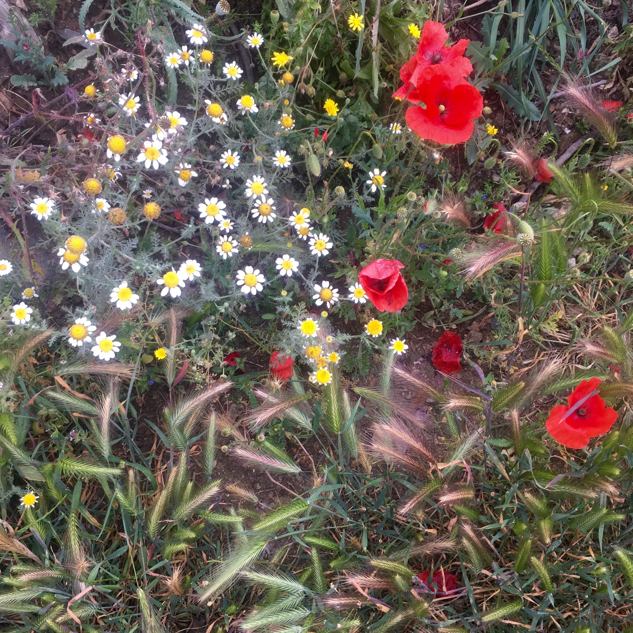
and we moved on down the road surrounded by grain fields and poppies.

IMG_4182.JPG
We took a dirt track leading straight up the mountain ahead of us

IMG_4183.JPG
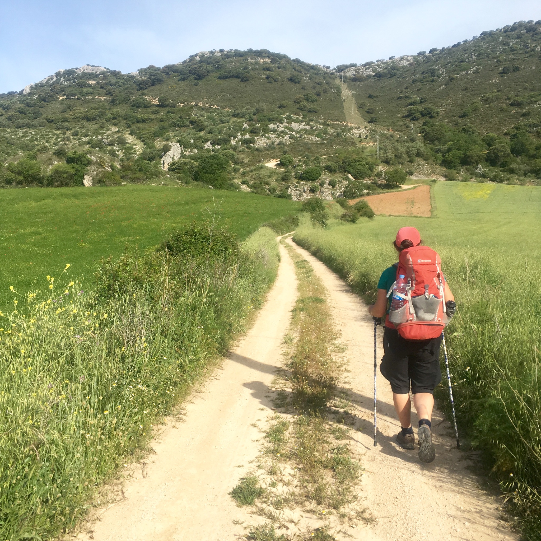
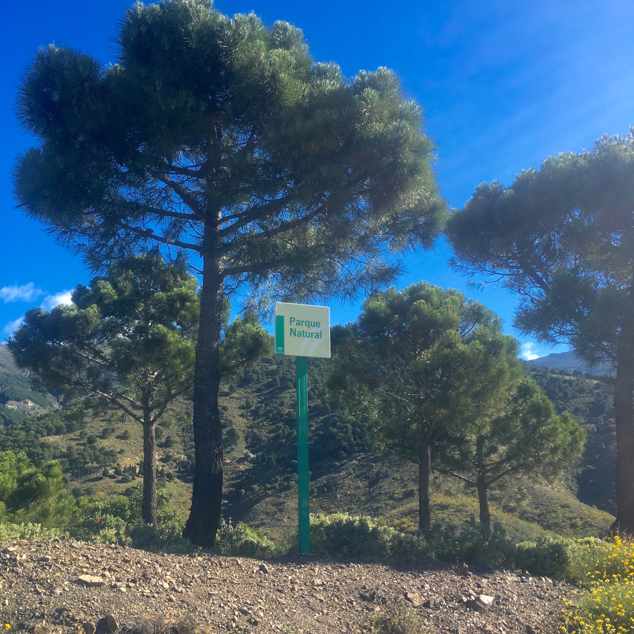
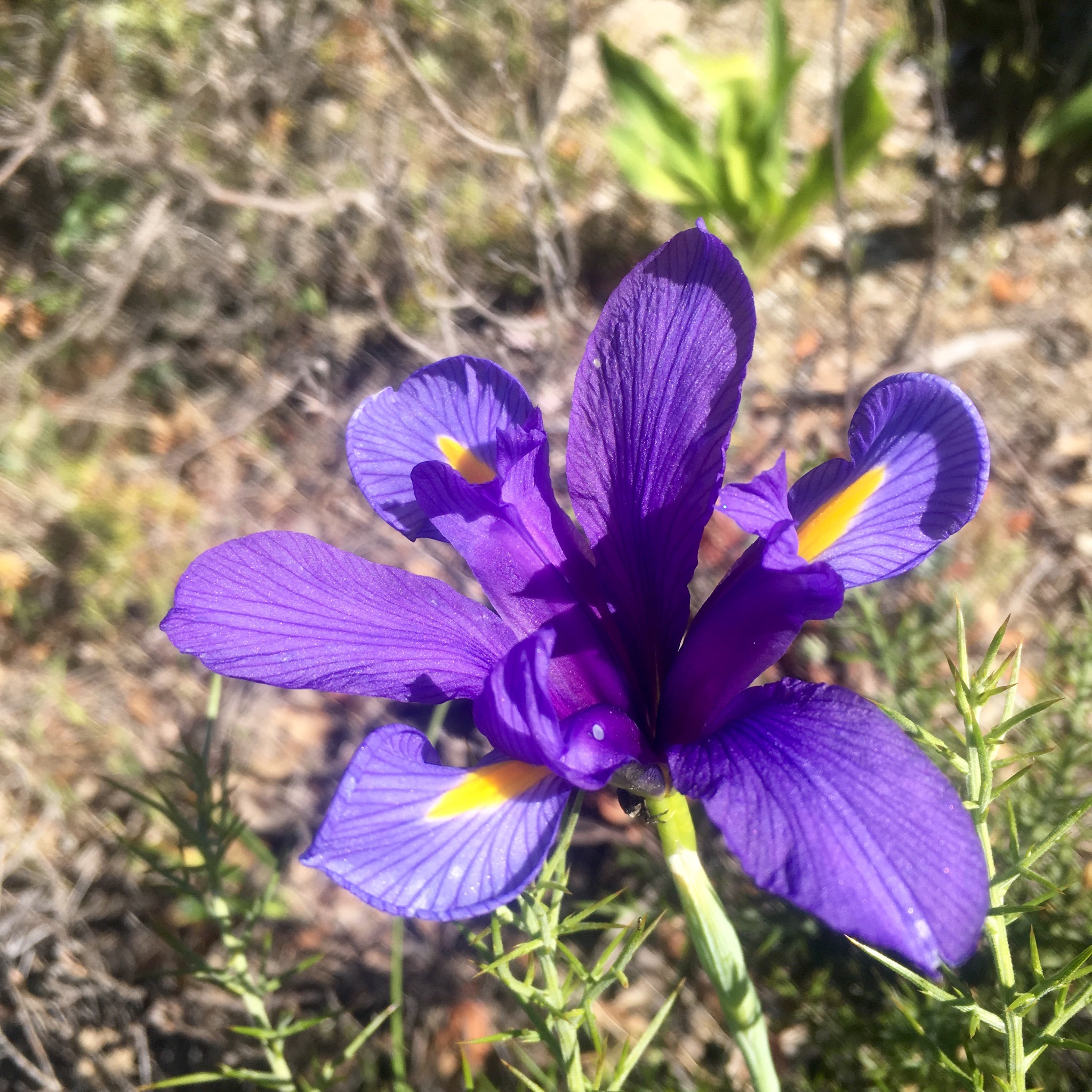
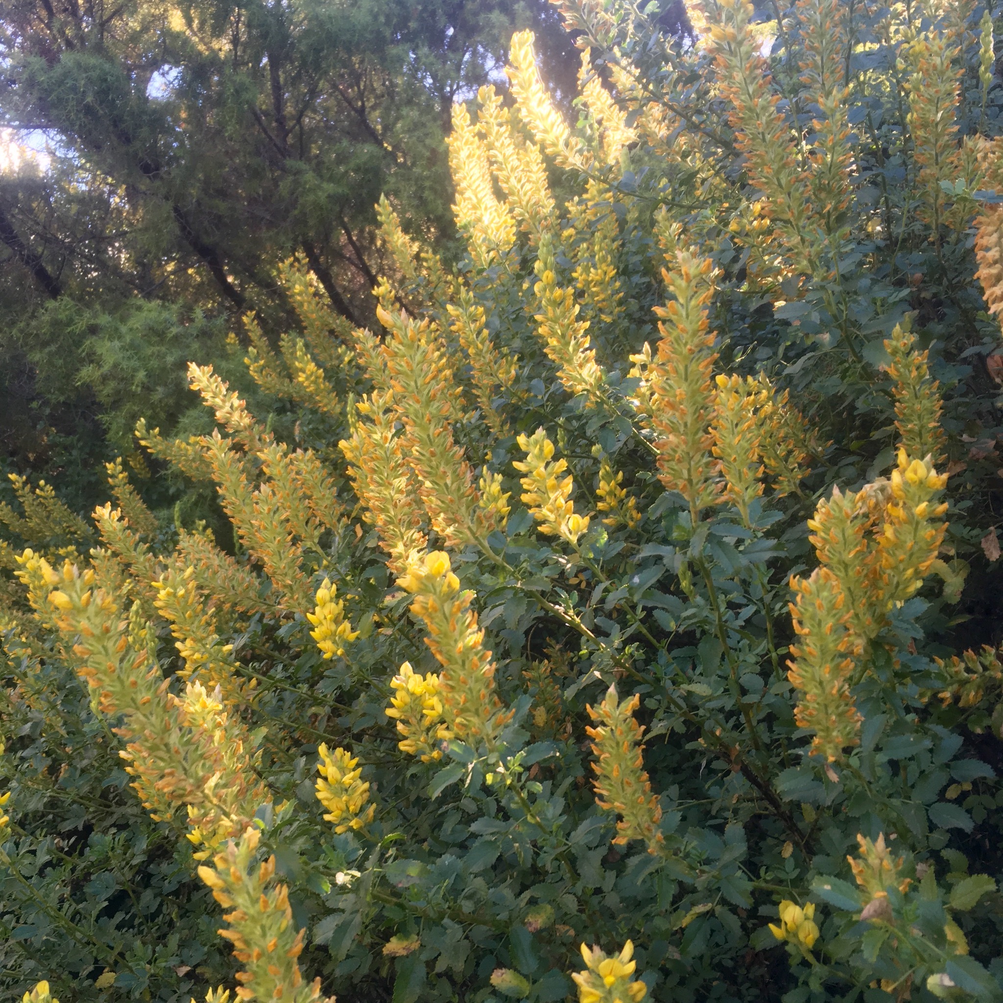
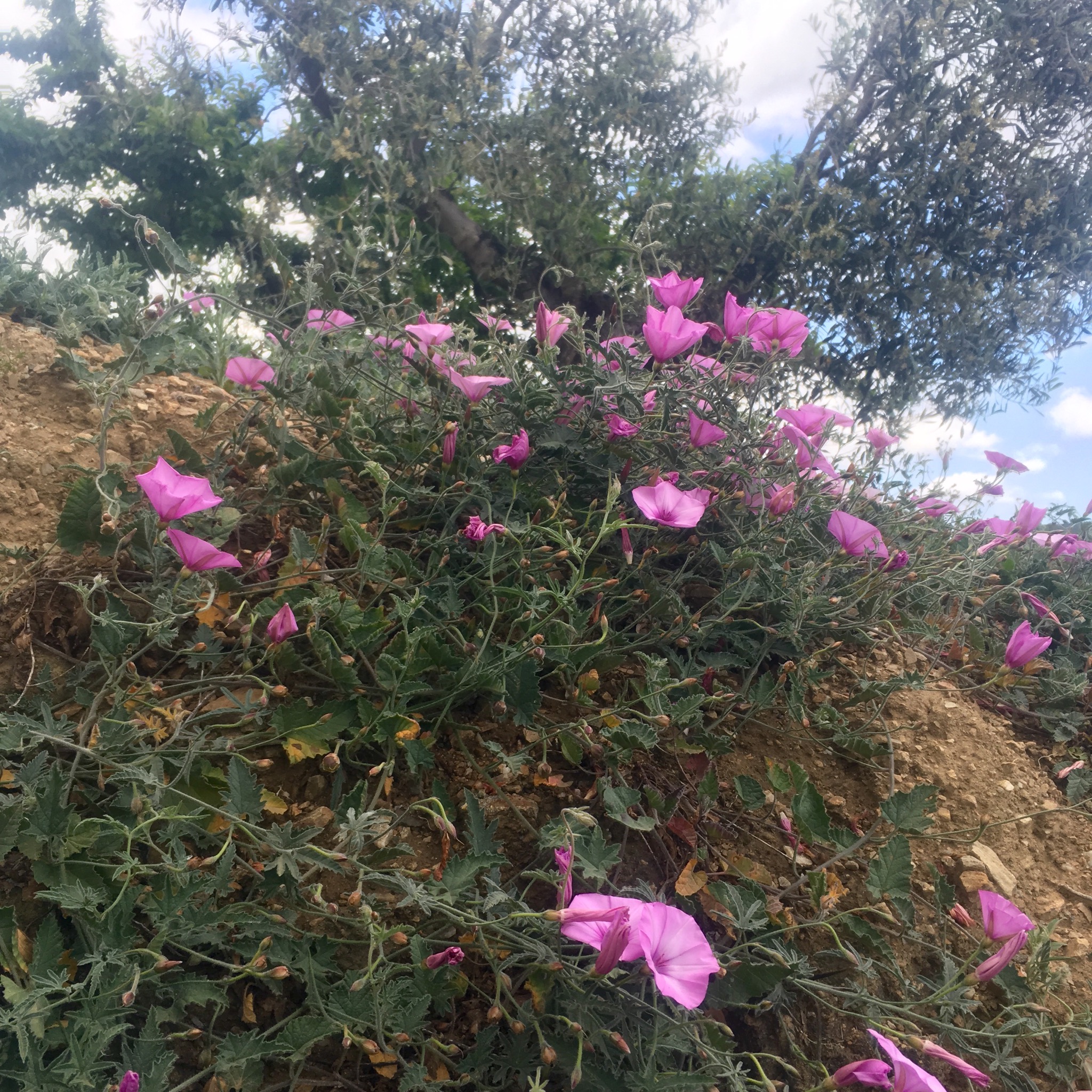
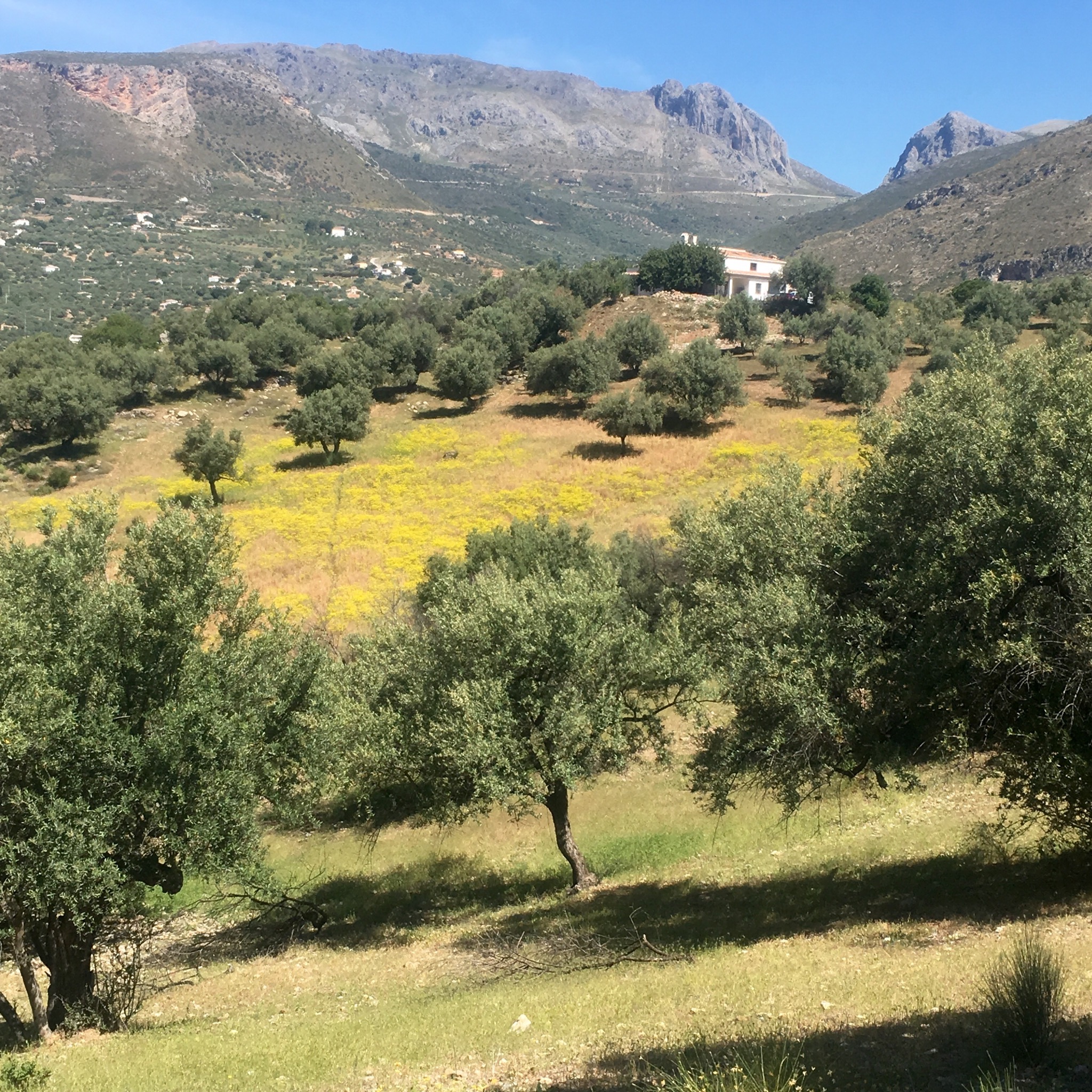
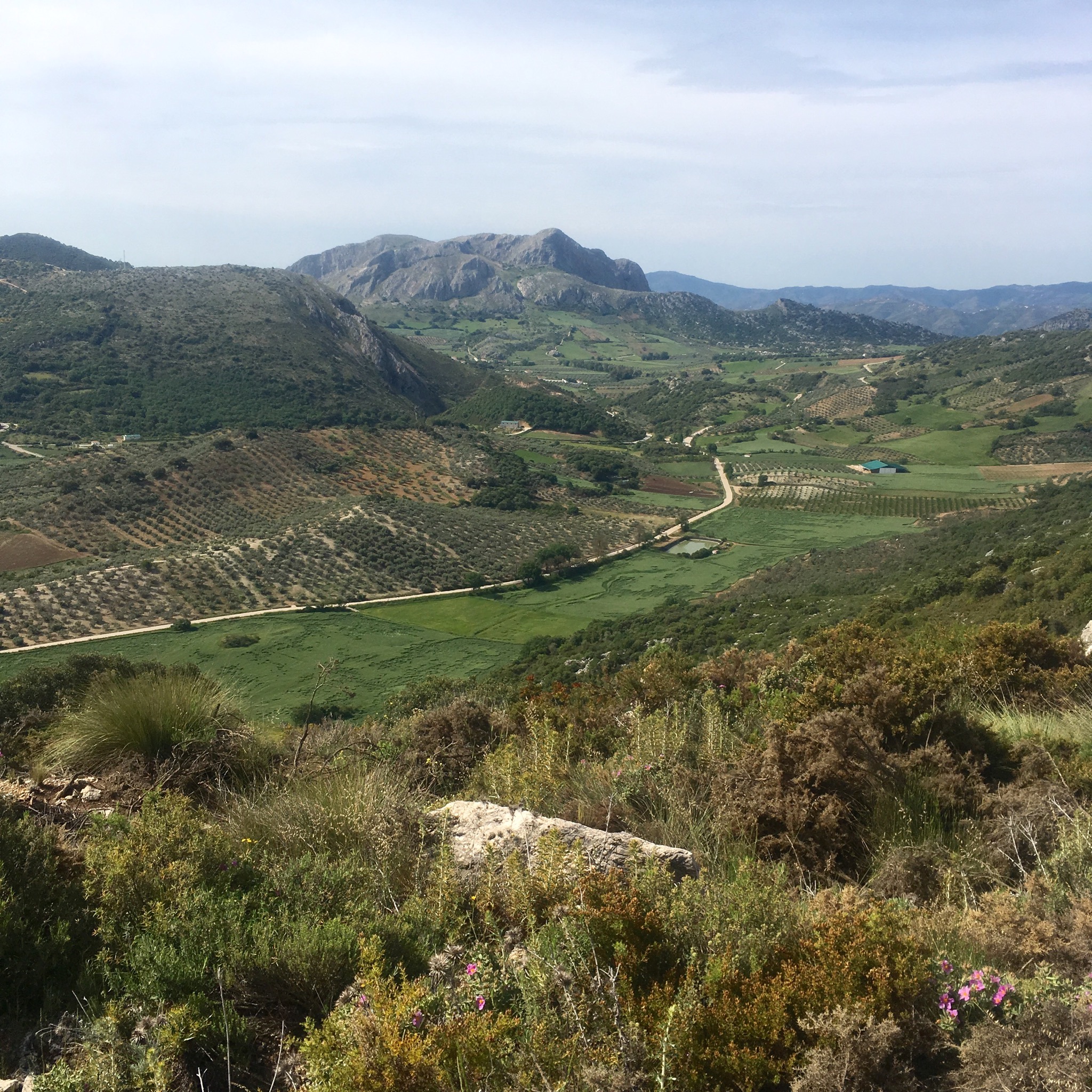
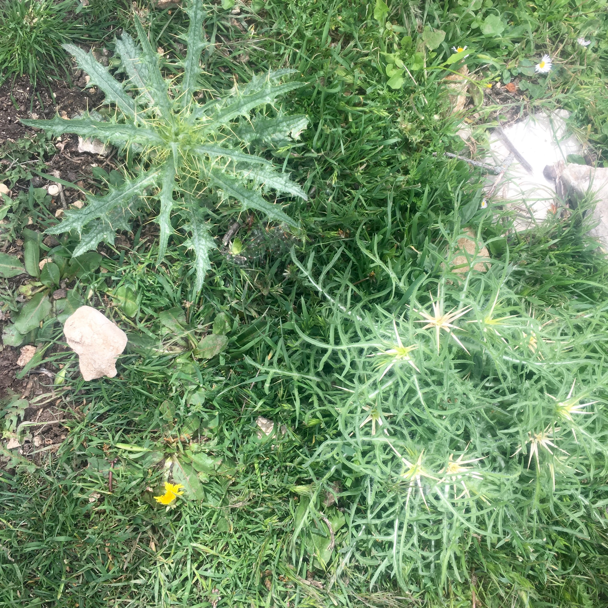
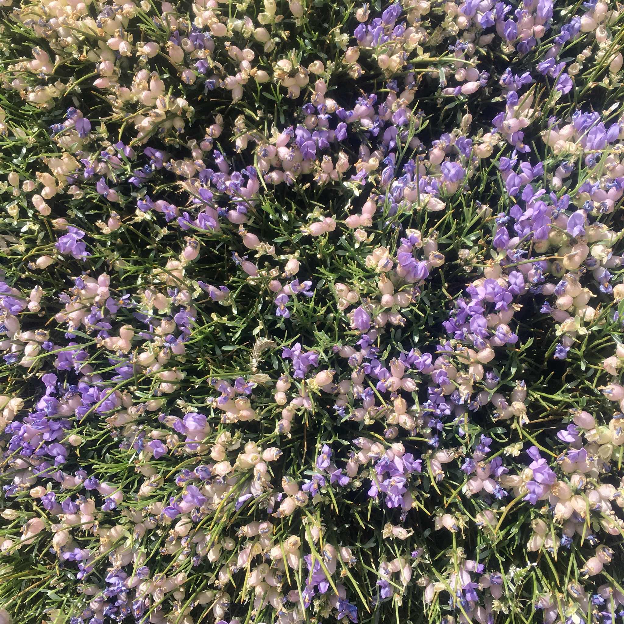
where traffic is banned and the rocky slopes are being planted with oak. The air was thick with the scent of Spanish broom and a wealth of wild flowers grew despite the dry conditions and an altitude of over 1100m. The views back over towards the south and the flat high plains were impressive.

IMG_4184.JPG

IMG_4185.JPG

IMG_4180.JPG
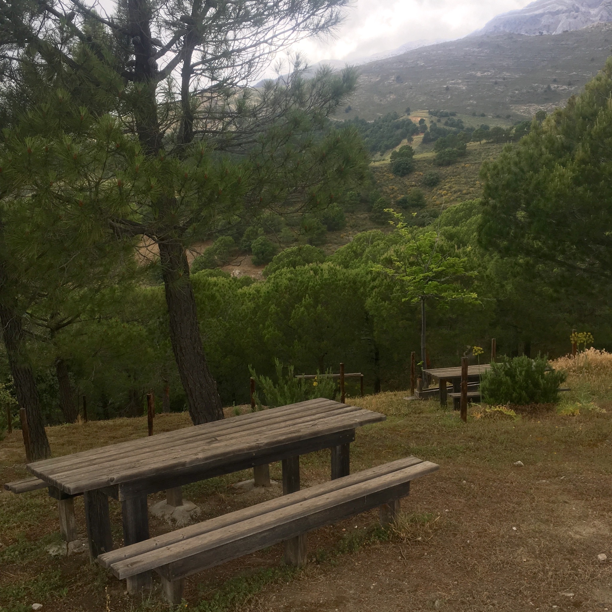
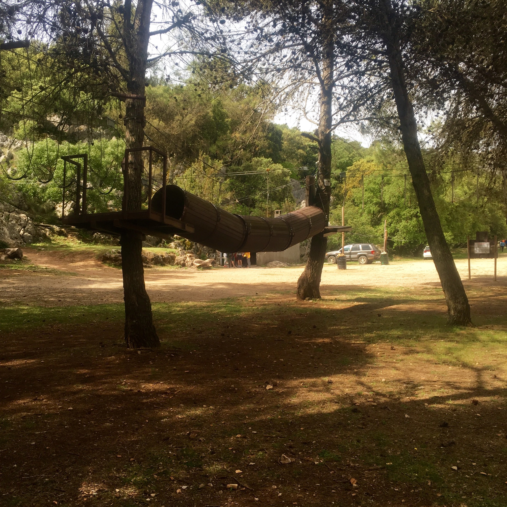
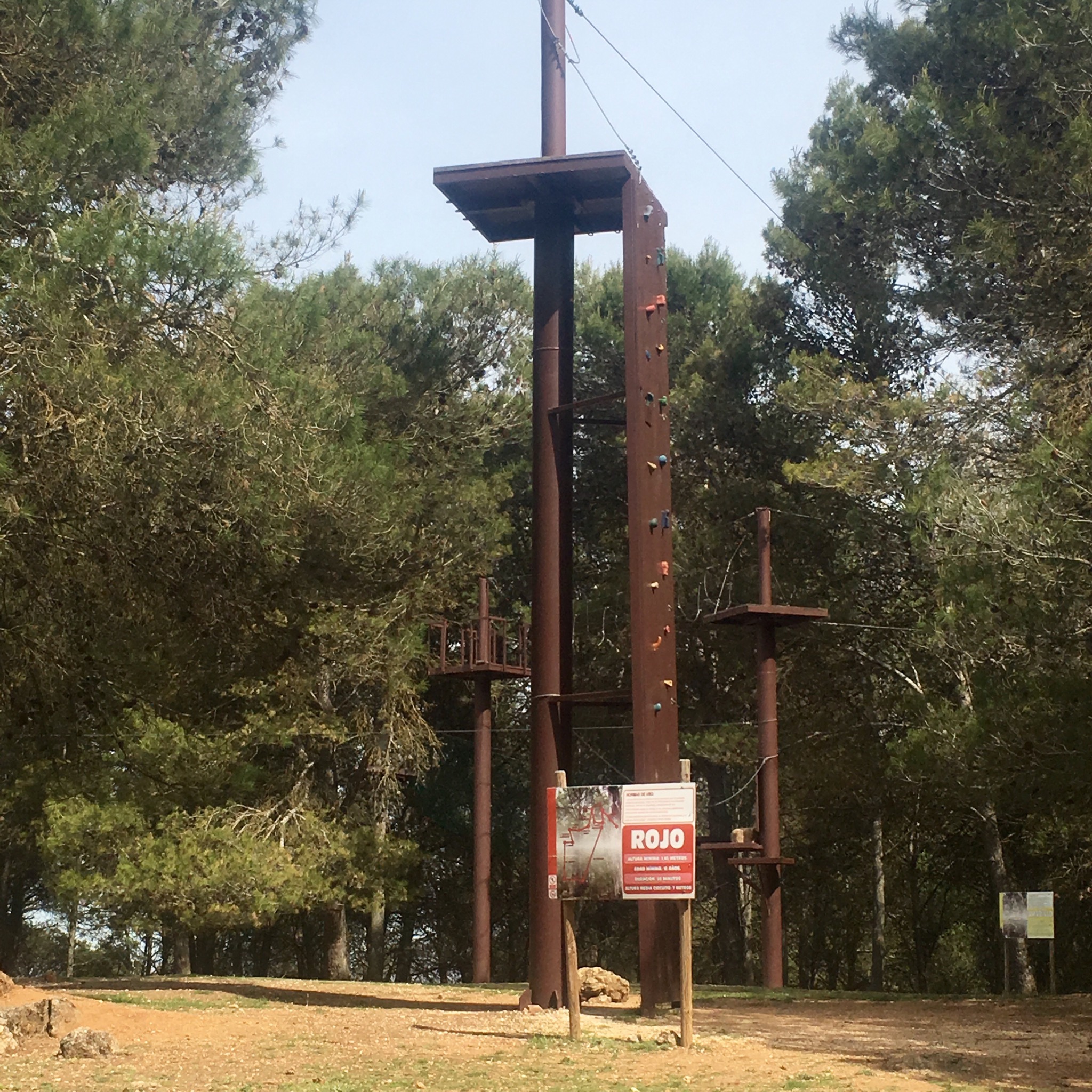
After cresting a pass and passing down through Aleppo pines we stumbled upon an old campsite, accessed from the north, that was now an outdoor activity centre with tree walks, zip wires and climbing walls.

IMG_4186.JPG

IMG_4187.JPG
There were signs of other outdoor activities in the shape of abandoned loud speakers and campfires.

IMG_4188.JPG
From here we began to climb to the ravine at Llano de la Cueva, the highest point at 1385m of the entire 660km GR249 route.
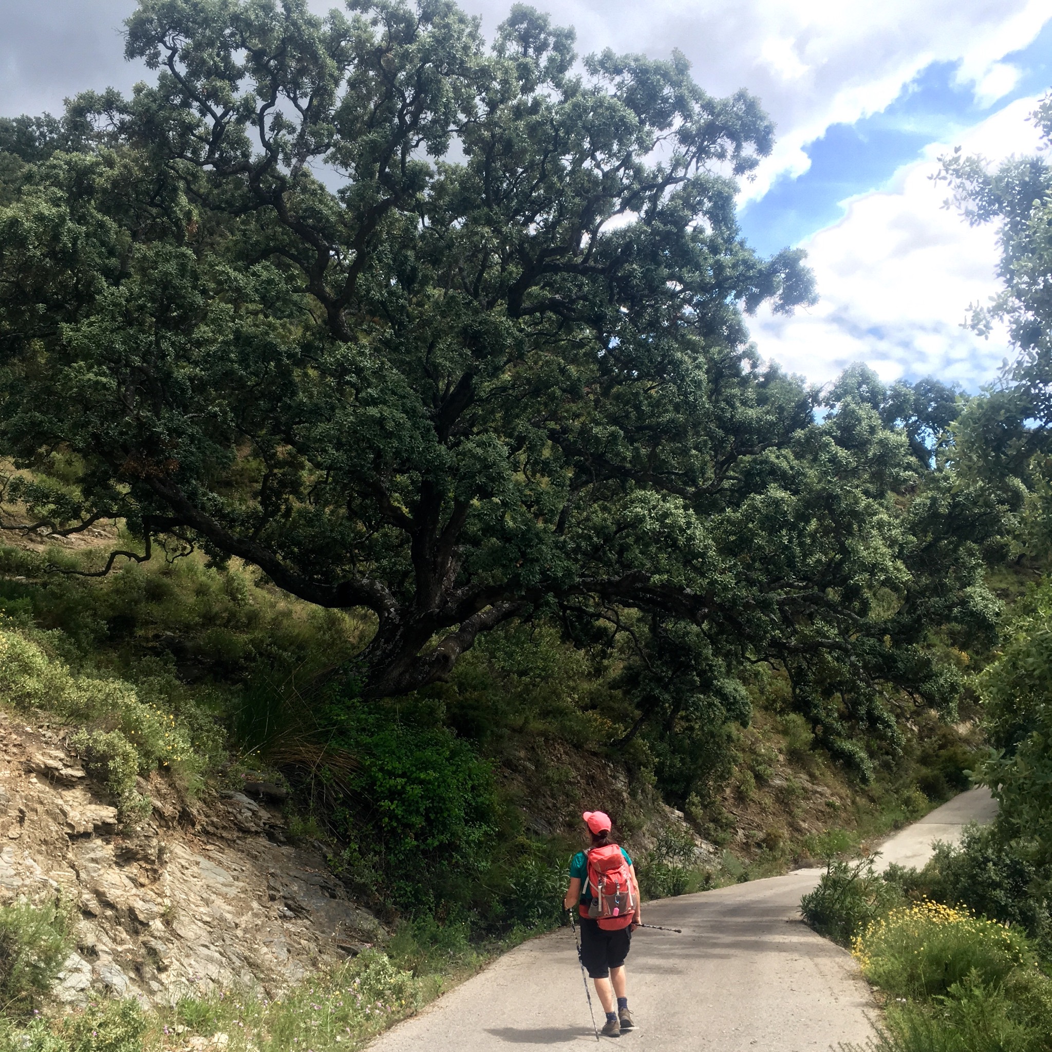
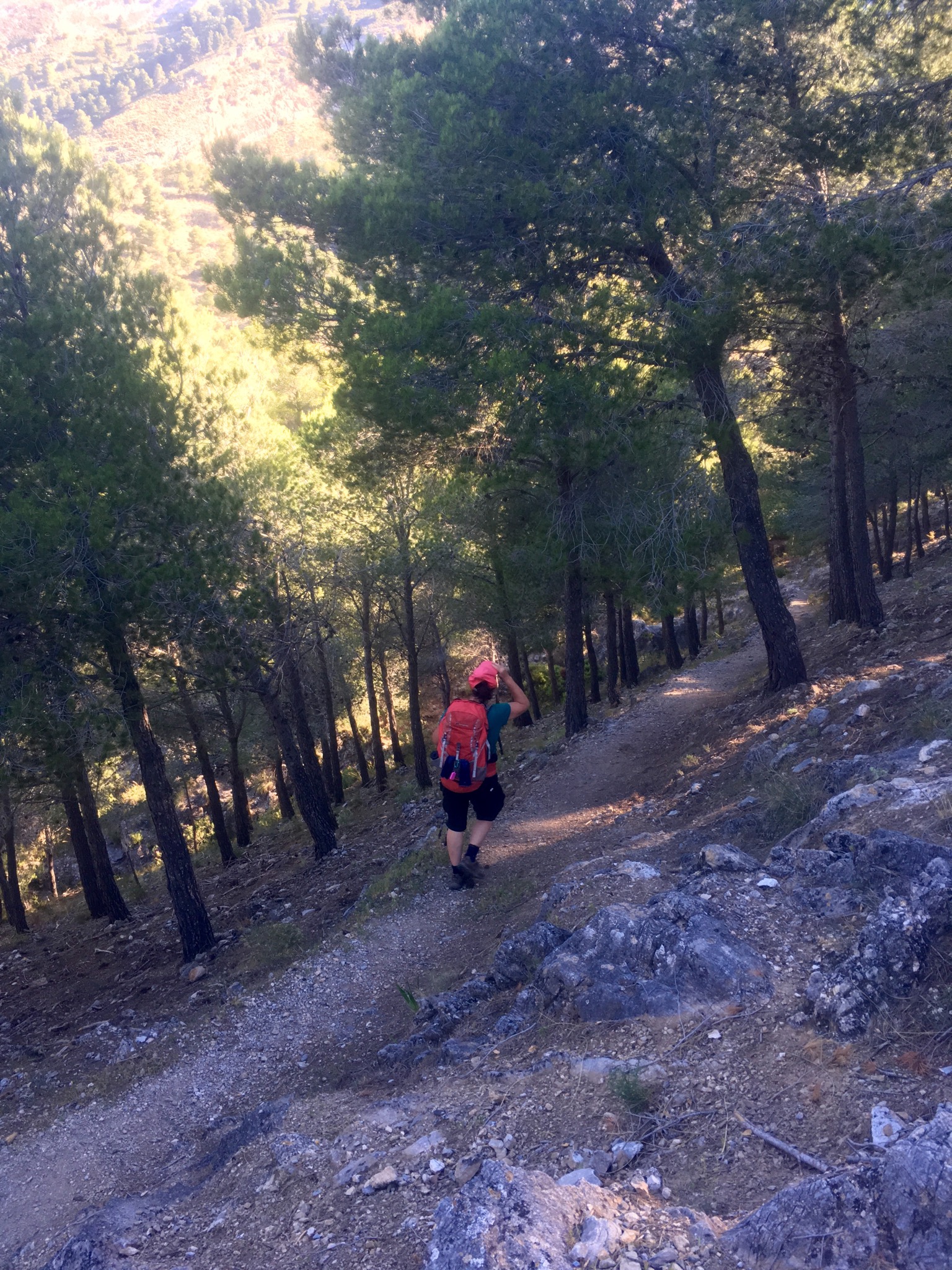
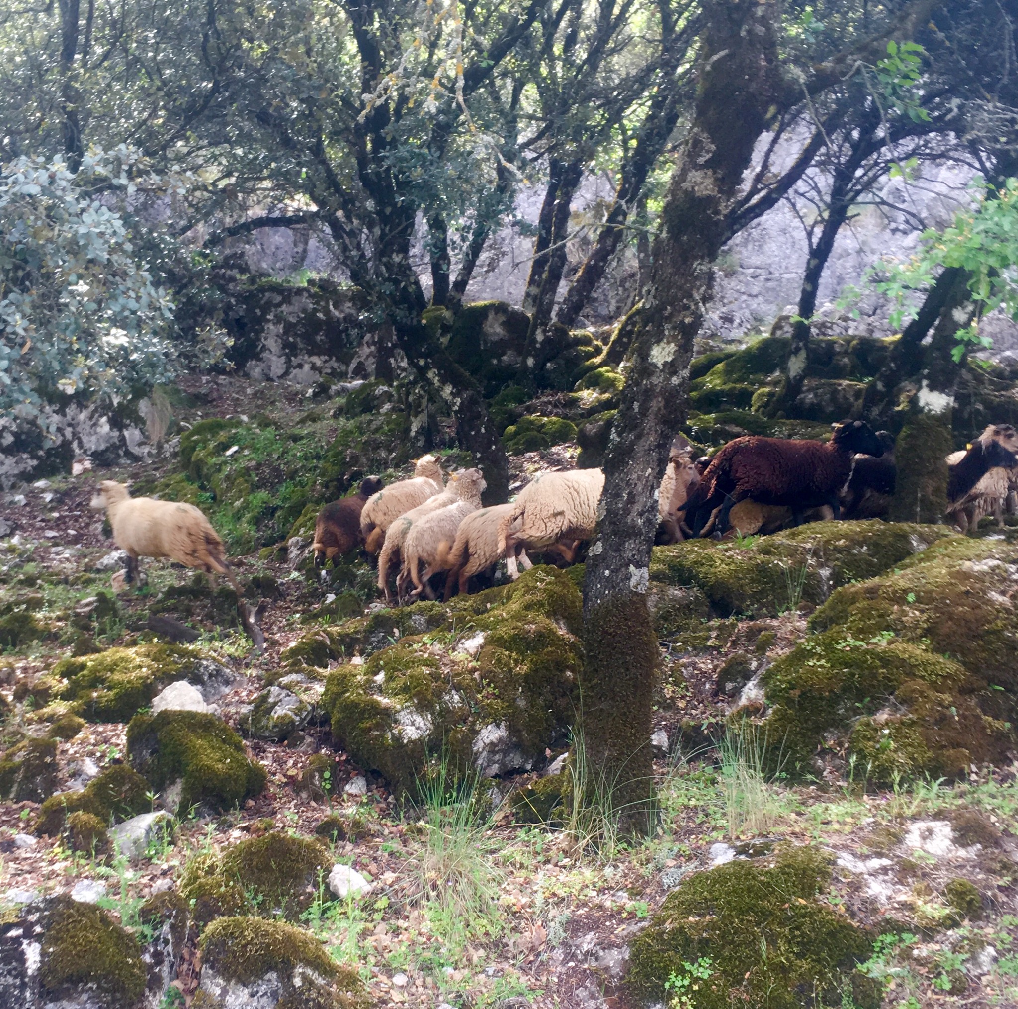
A delightful path led us up through woods of oak and hawthorn with more Aleppo pine and Spanish Terebinth to little fields cleared of stones where small herds of sheep sheltered from the sun.

IMG_4192.JPG

IMG_4189.JPG
There were the tell tale scuffling and rootling of wild boar too but no signs of the Ibex or Roe deer that live here.
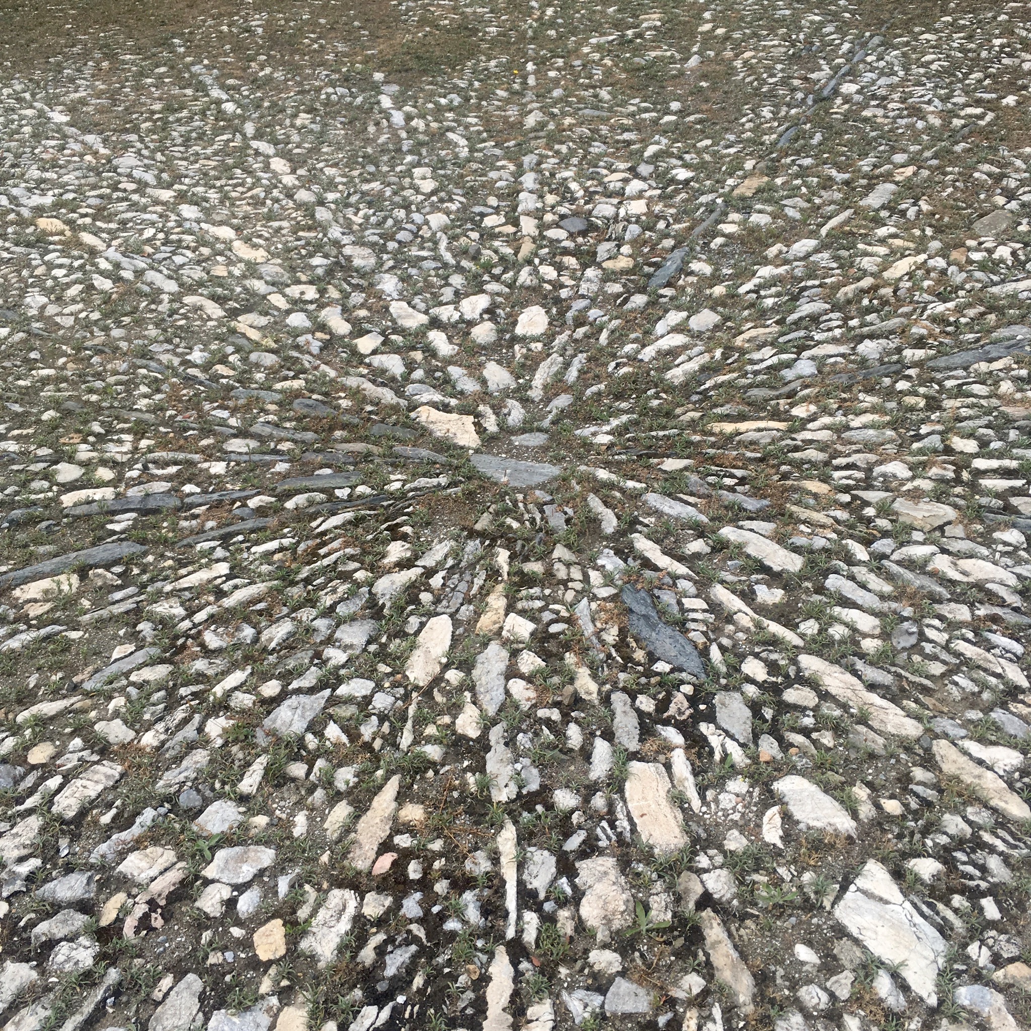
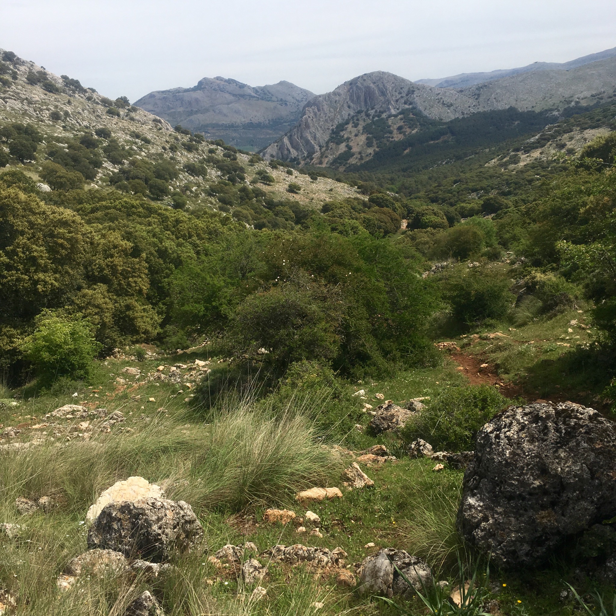
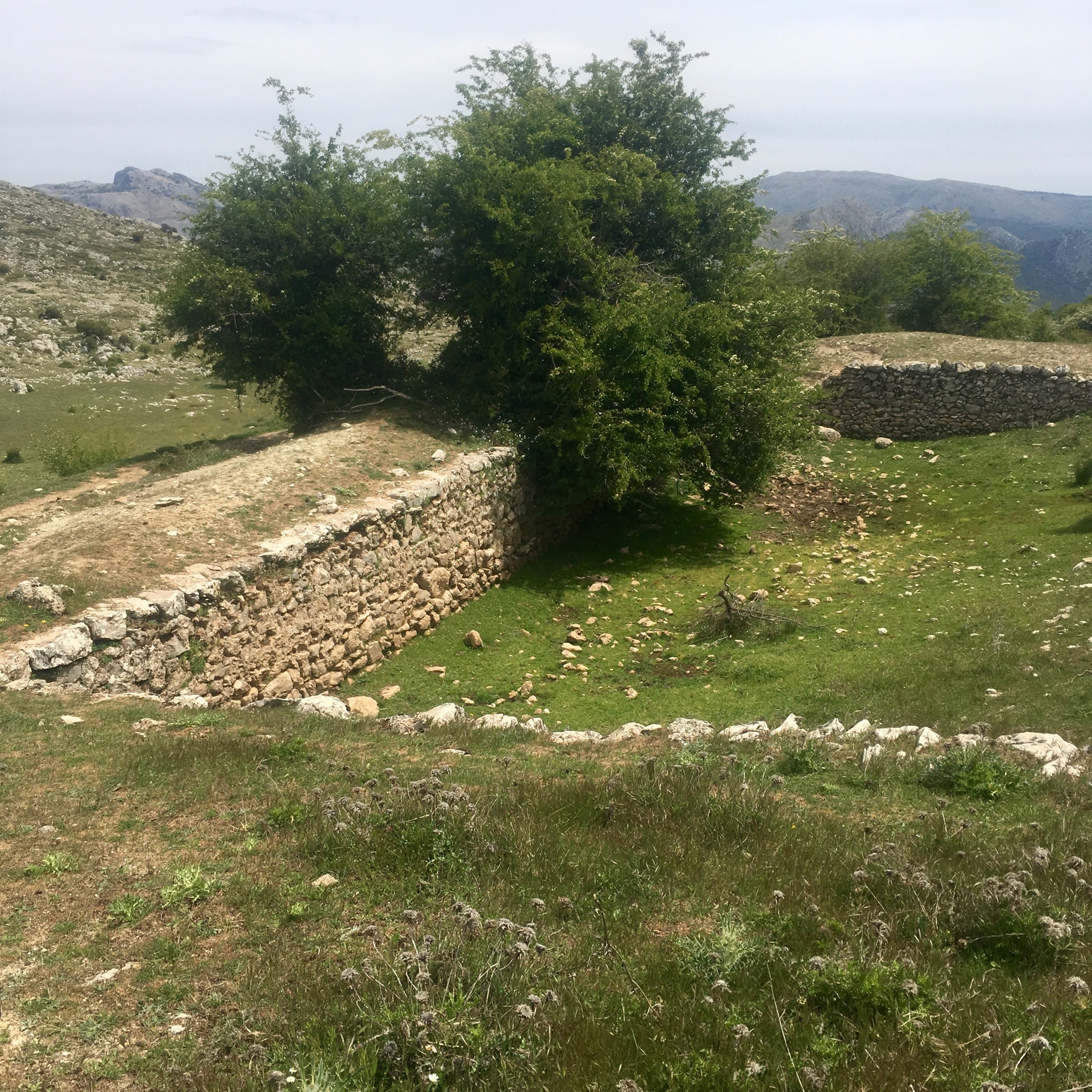
We climbed past another old threshing circle marvelling at farming grain at 1200m. Looking eastwards from here we could see the empty quarter of the Central Limestone Arch and in the far distance, snow on the Sierra Nevada’s.

IMG_4196.JPG

IMG_4200.JPG
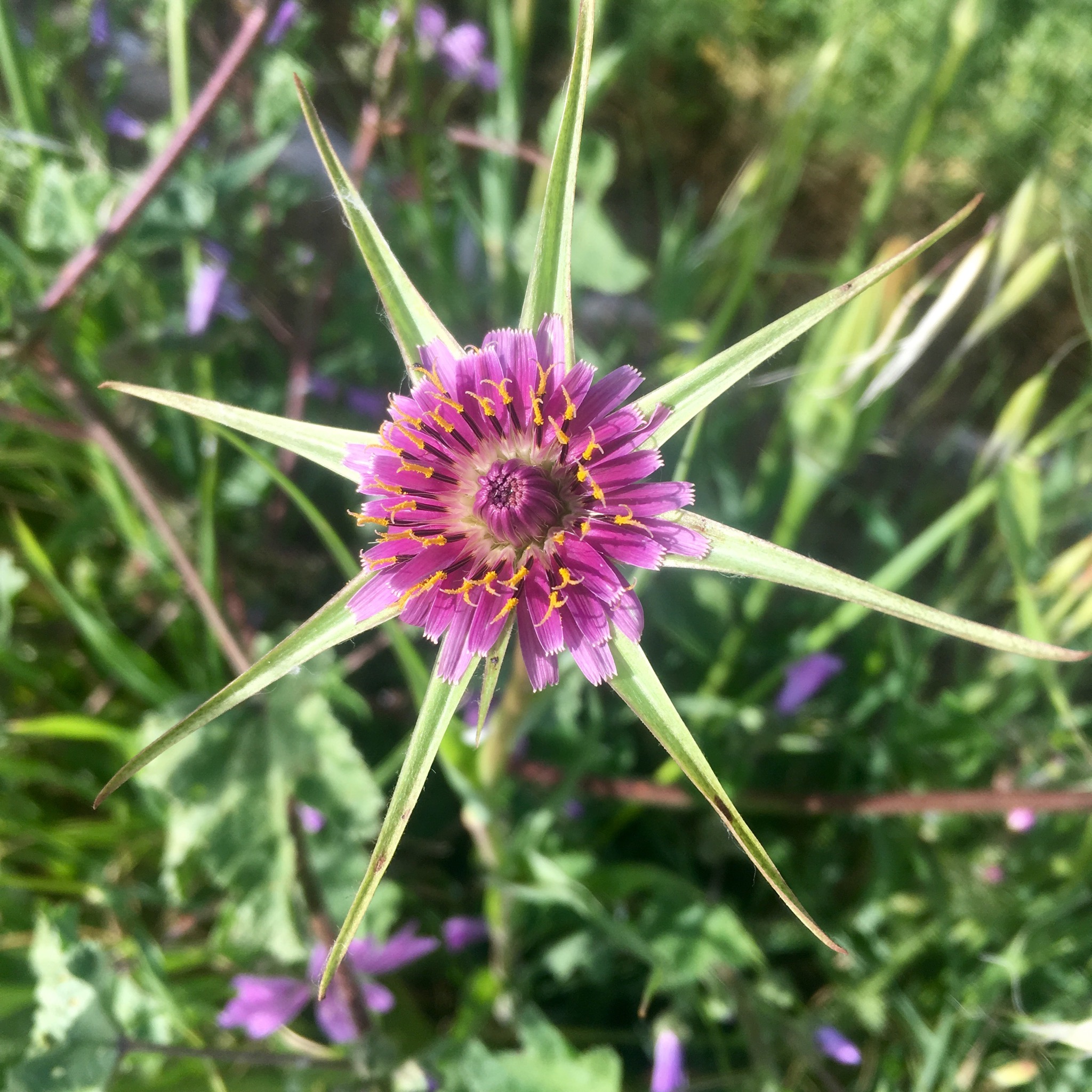
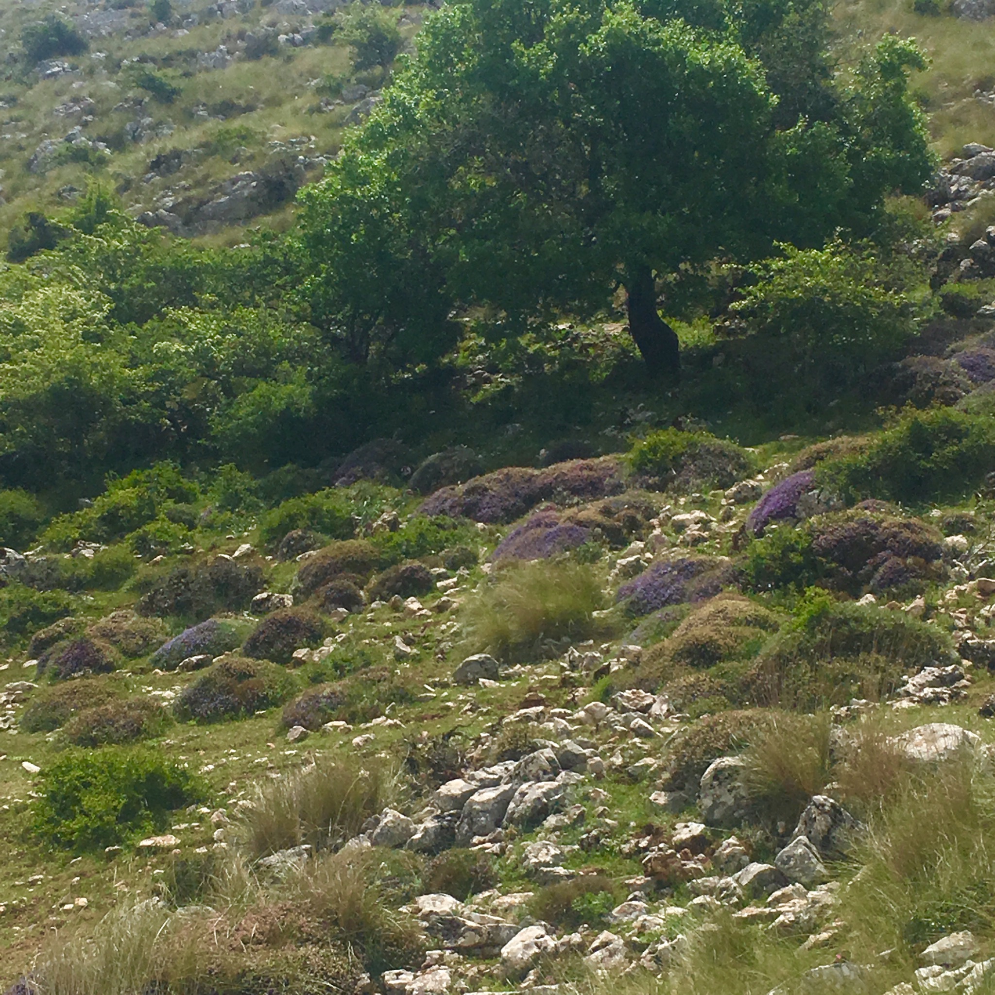
Climbing up out of the woodland towards the pass at 1385m it remained lush, with a plethora of colourful or spiky plants still roughing it out. There was also a stone construction we thought must be to catch water.

IMG_4199.JPG

IMG_4210.JPG

IMG_4208.JPG

IMG_4203.JPG

IMG_4202.JPG

IMG_4204.JPG
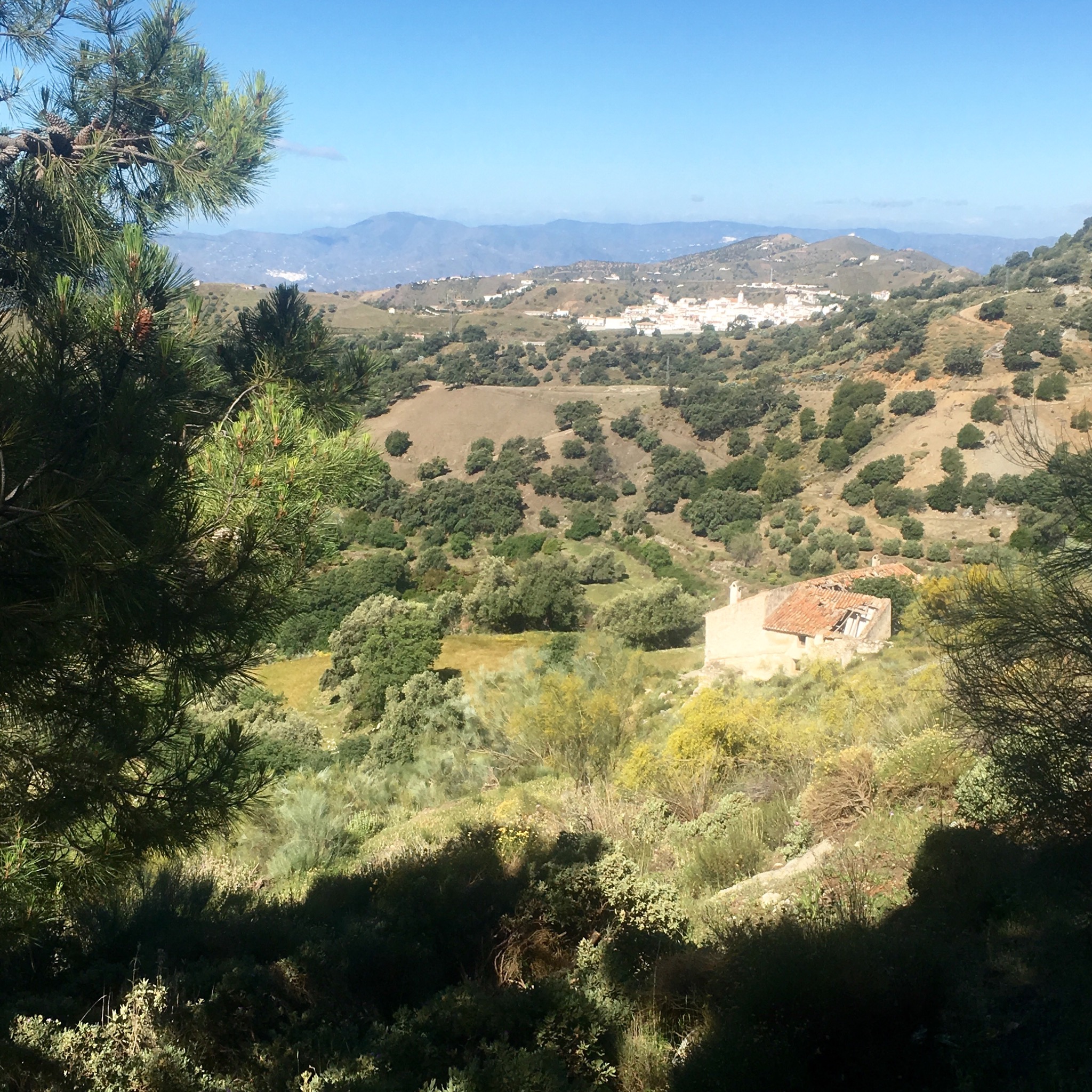
Pausing for lunch and self congratulations at the summit we looked westwards along the mountain chain, admiring the rugged splendour of it all.

IMG_4212.JPG

IMG_4213.JPG

IMG_4211.JPG

IMG_4207.JPG
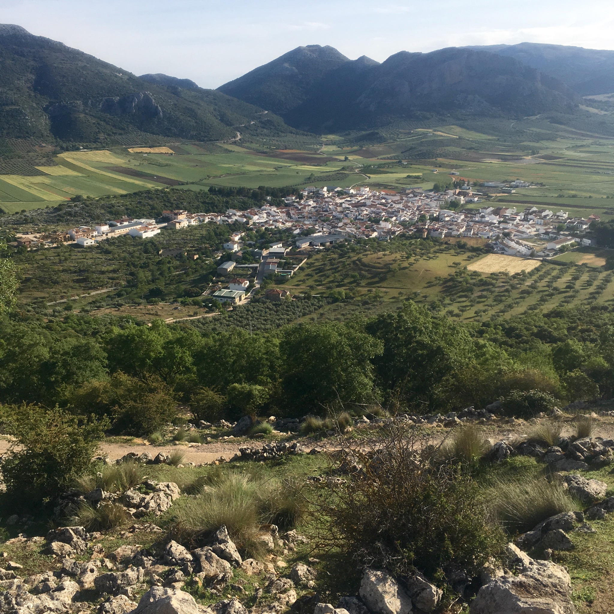
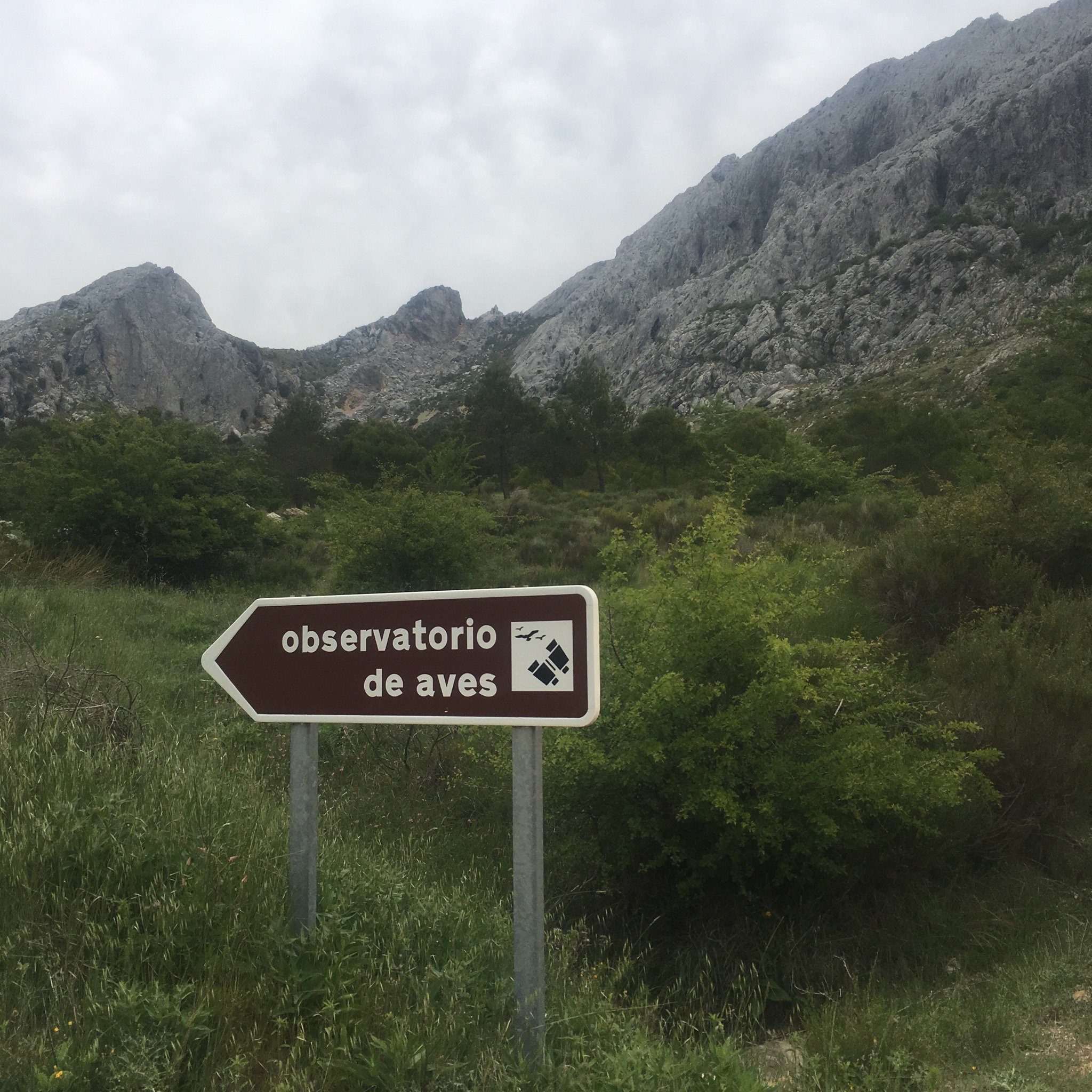
To the north we could see our destination but had to follow a long looping track down past the Mirador de Hondonero and another picnic site and bird observatory.

IMG_4215.JPG

IMG_4218.JPG
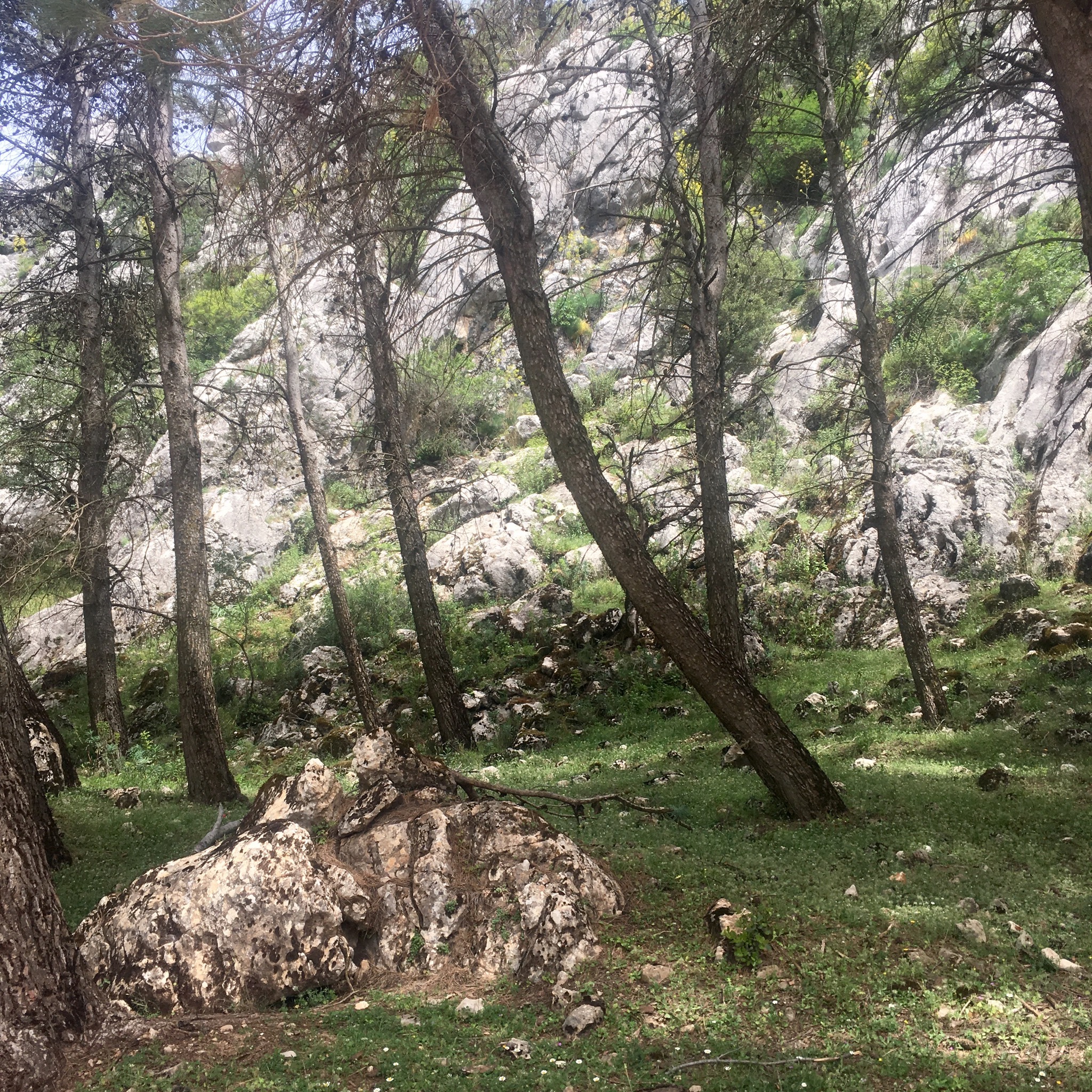
There were big patches of Dehesa oak woodland and great spots for rock climbing like the imposing Tajo de Madera cliff face.

IMG_4222.JPG

IMG_4225.JPG
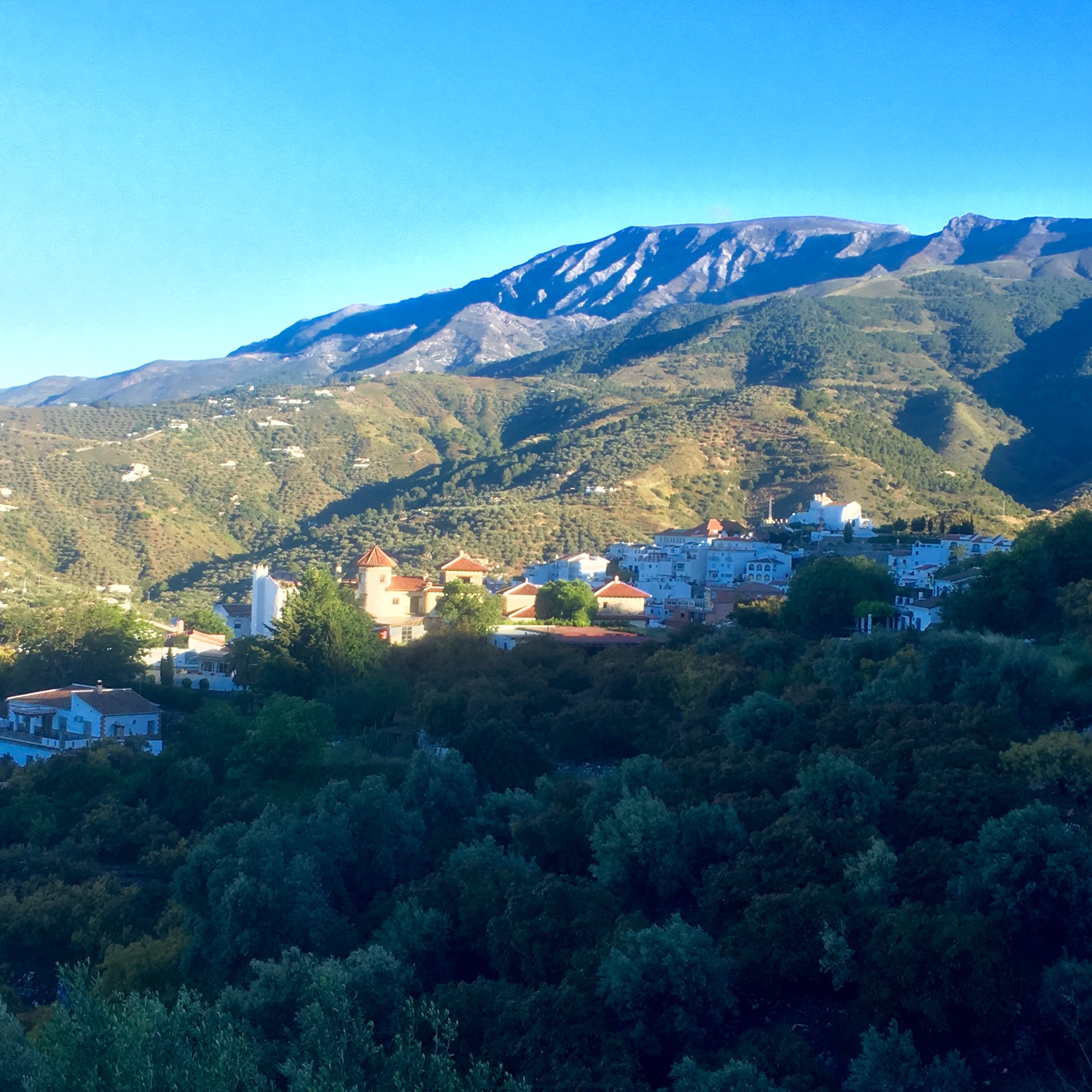
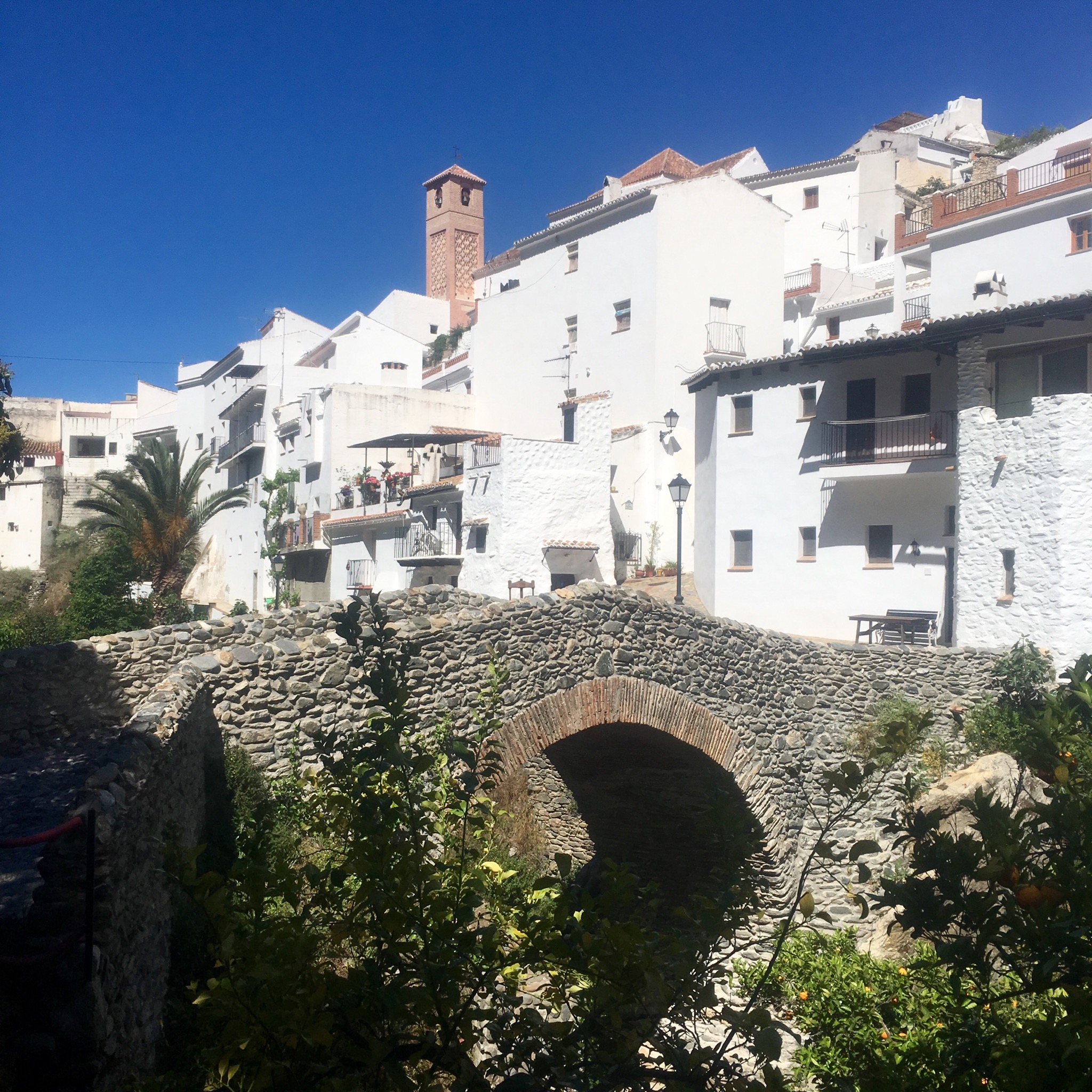
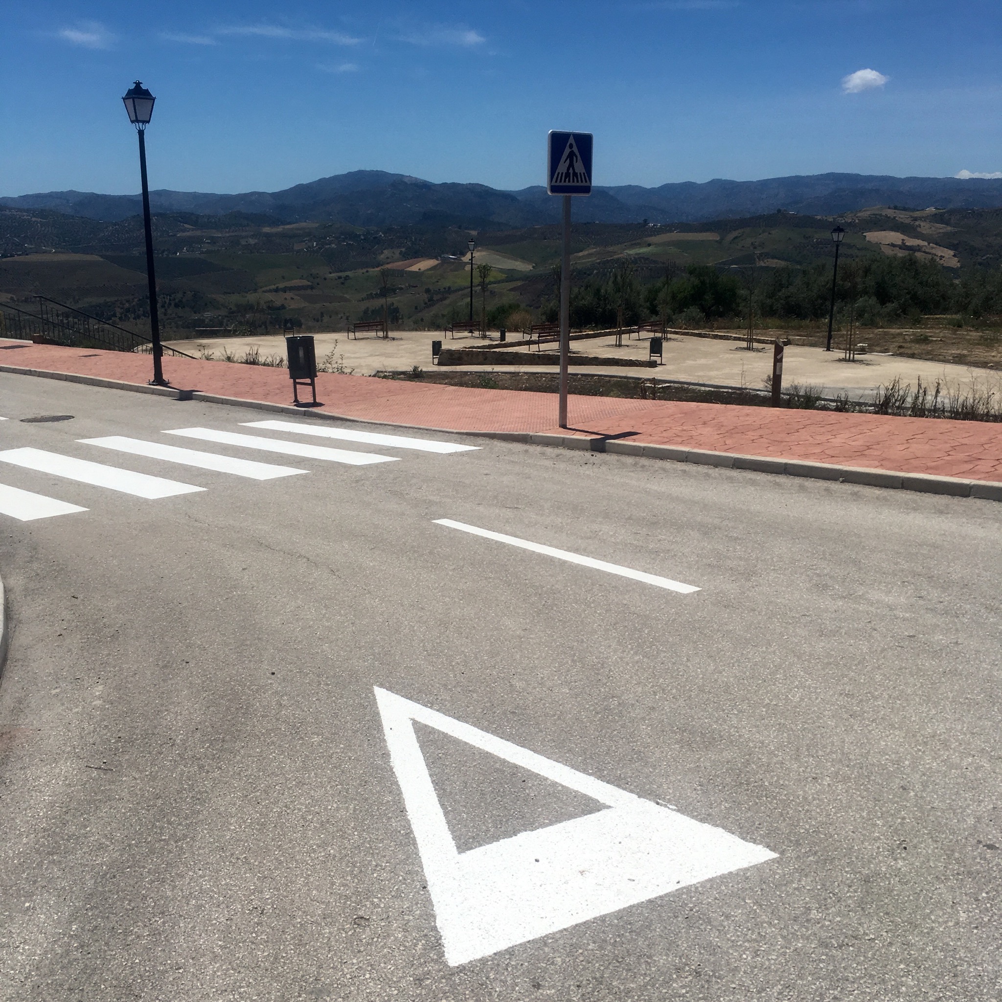
We arrived at the little chapel of our Lady of the Rosary just outside the town.

IMG_4229.JPG
After collapsing in the plaza for awhile with cold beer and crisps and shopping for dinner our kindly Air b+b host Gustavo picked us up and whisked us in minutes to a lovely old cortijo set in the olive groves.

IMG_4231.JPG

IMG_4244.JPG

IMG_4243.JPG
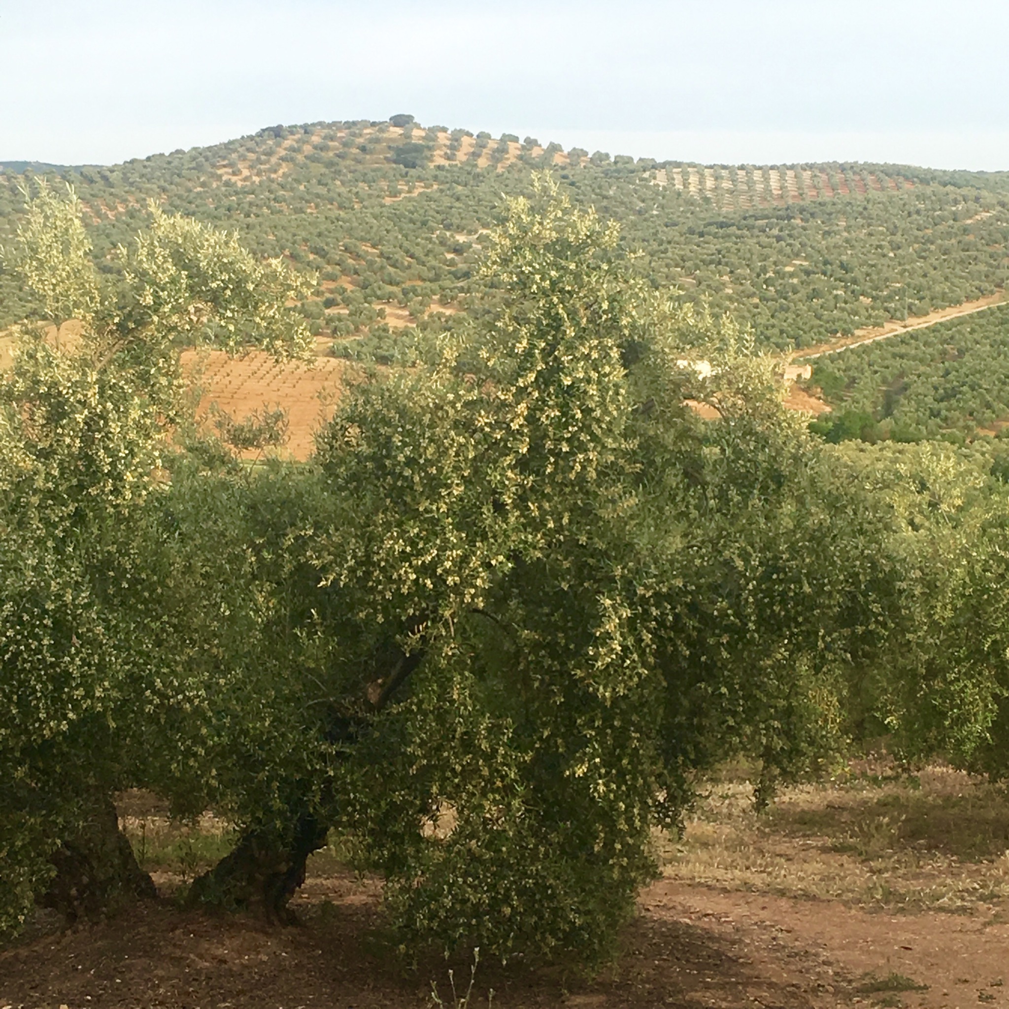
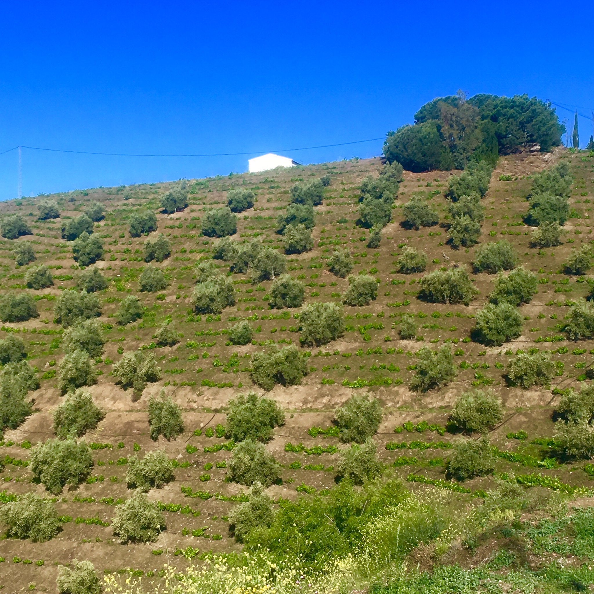
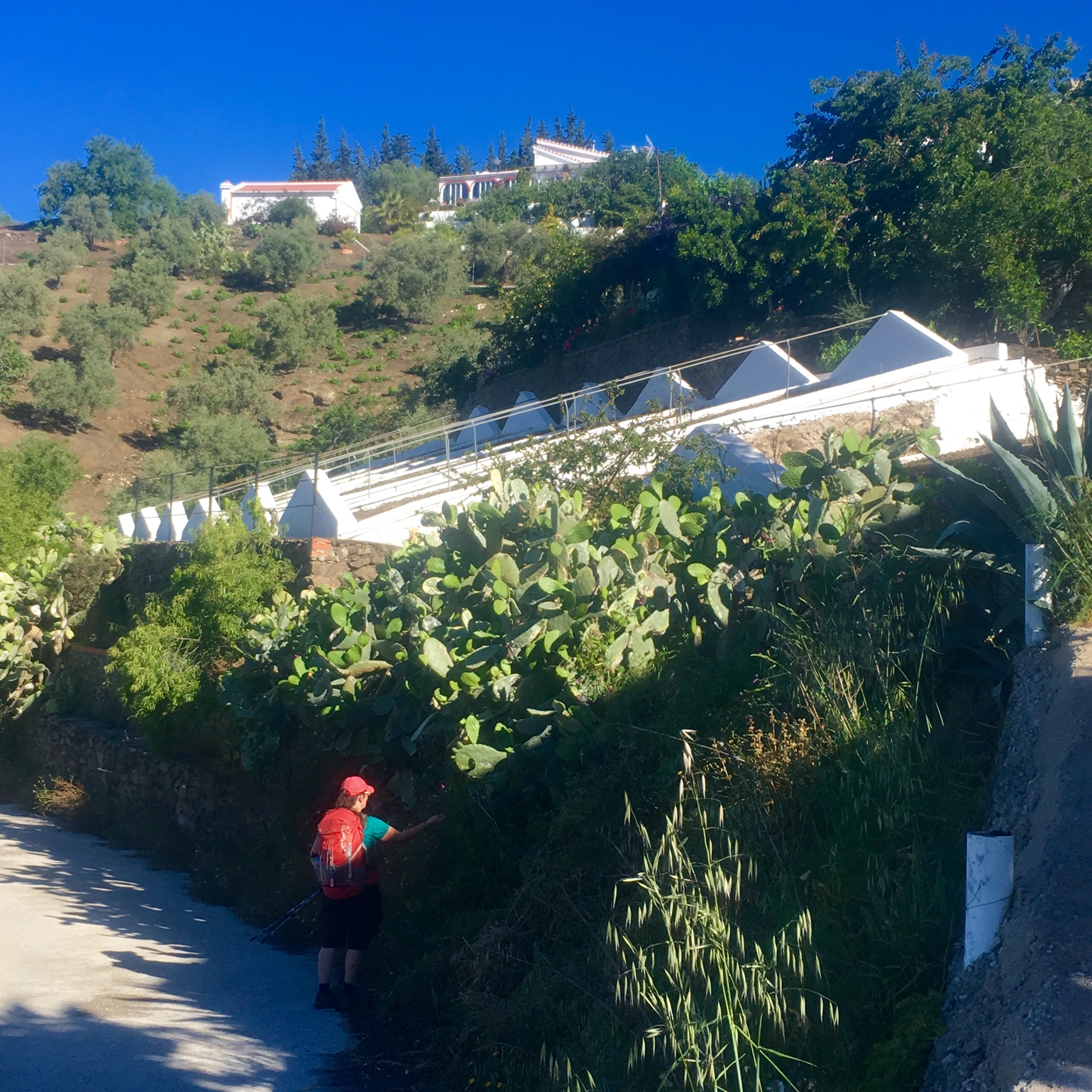
A restful night under the ancient beams and we were off down a track through the olive groves back to the village/town. The flowering is dramatic this year and I pity those with a pollen allergy.

IMG_4246.JPG

IMG_4242.JPG
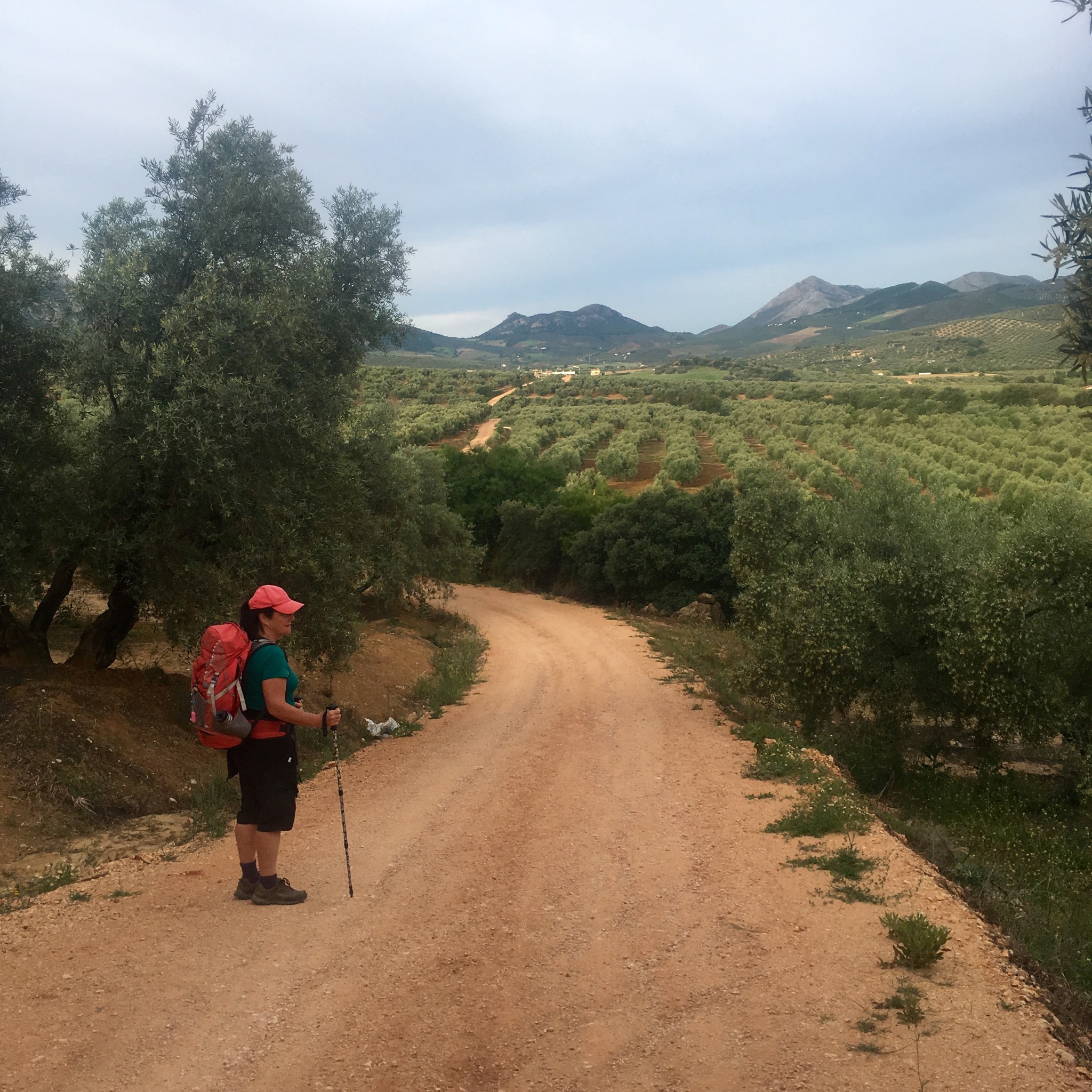
A cafe con leche and tomate tostada set us up for our last days hike this trip. 23km to Archidona across a different landscape to the mountains so far.
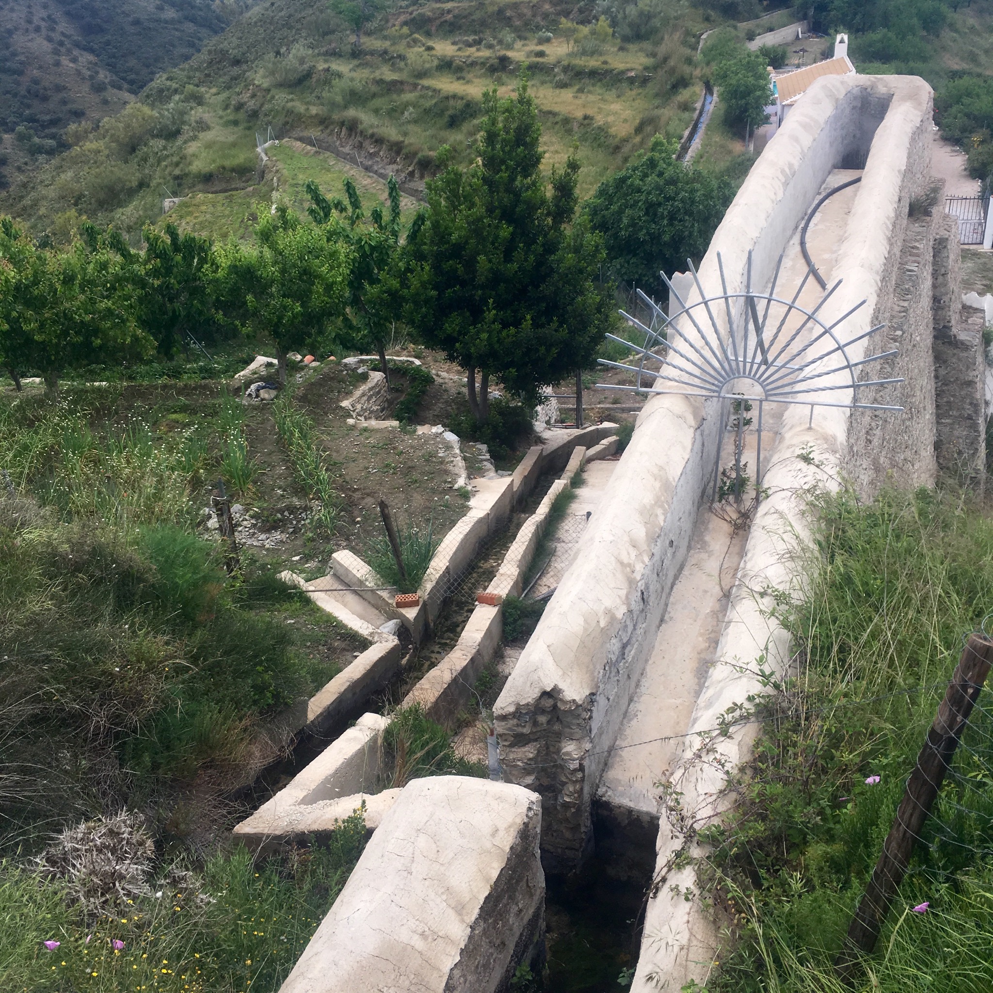
We left the town by a gentle waterside path leading us through the huerta, a fertile area of crop growing.

IMG_4255.JPG
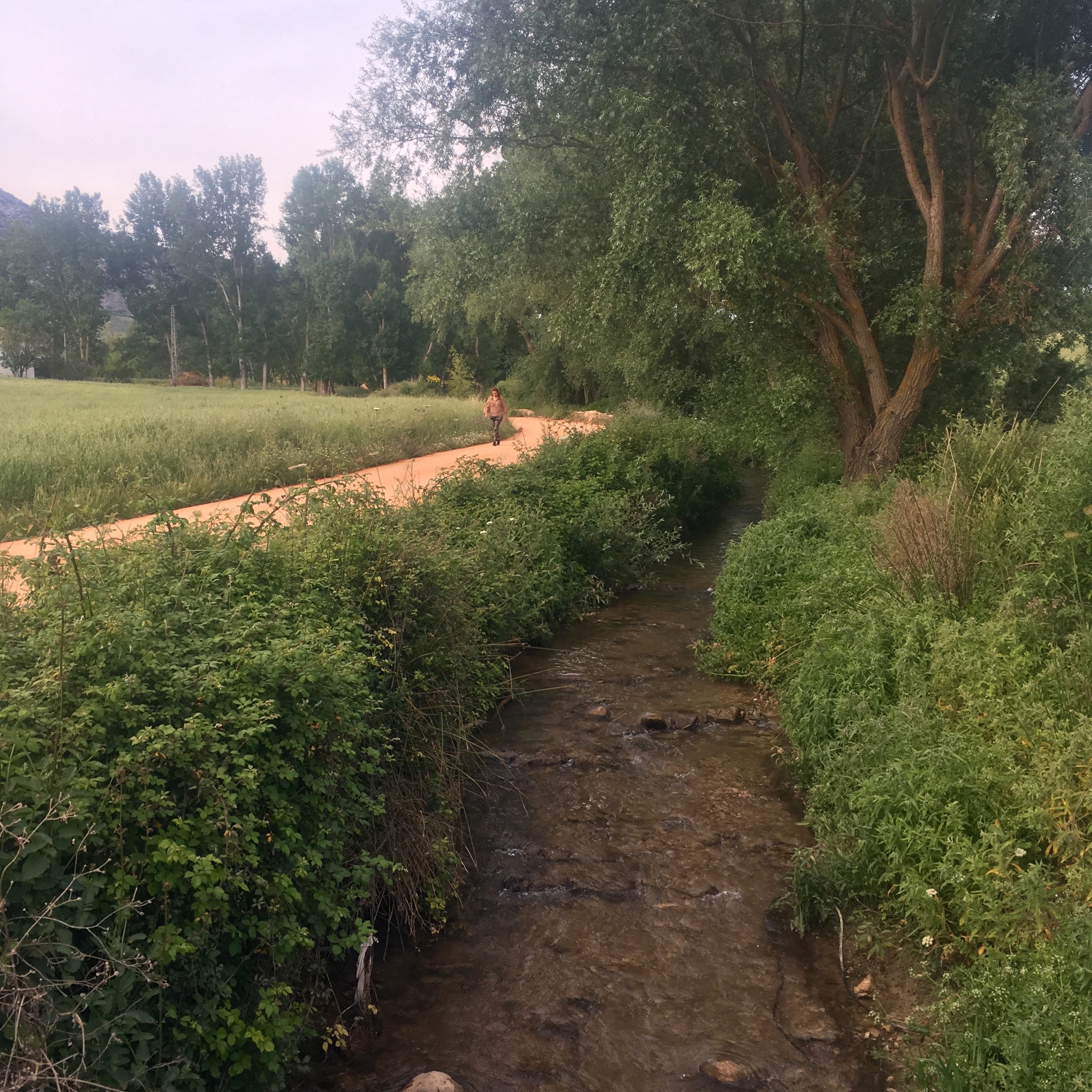
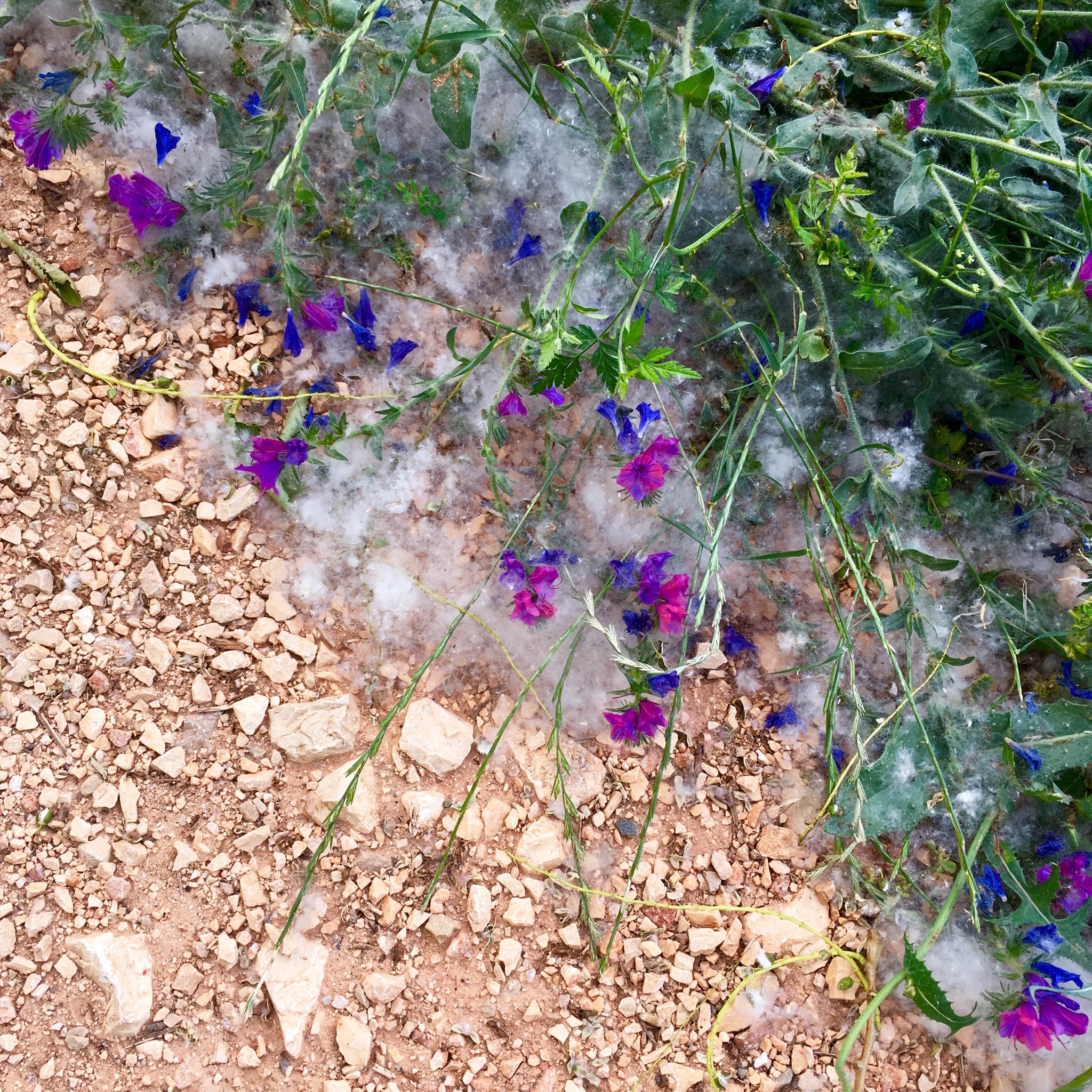
This was the humble beginnings of the mighty 166km Guadalhorce river and the path gradually moved away from it along a constant corridor of flowers.

IMG_4228.JPG

IMG_4257.JPG

IMG_4260.JPG

IMG_4261.JPG
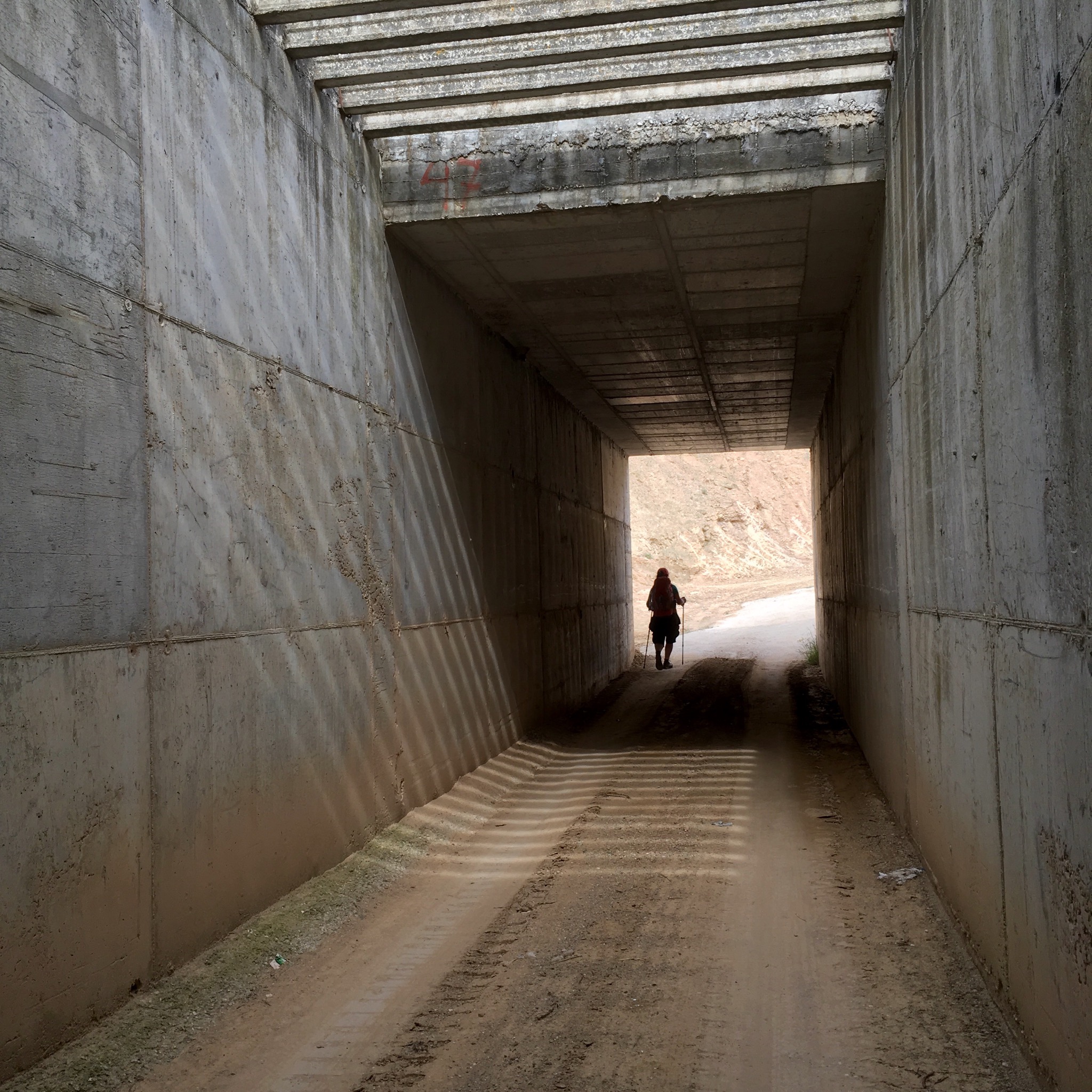
Soon enough the surroundings moved from the poetic to the prosaic as we passed under the motorway to a landscape of abandoned developments and collapsing fincas.

IMG_4262.JPG

IMG_4267.JPG

IMG_4264.JPG

IMG_4263.JPG
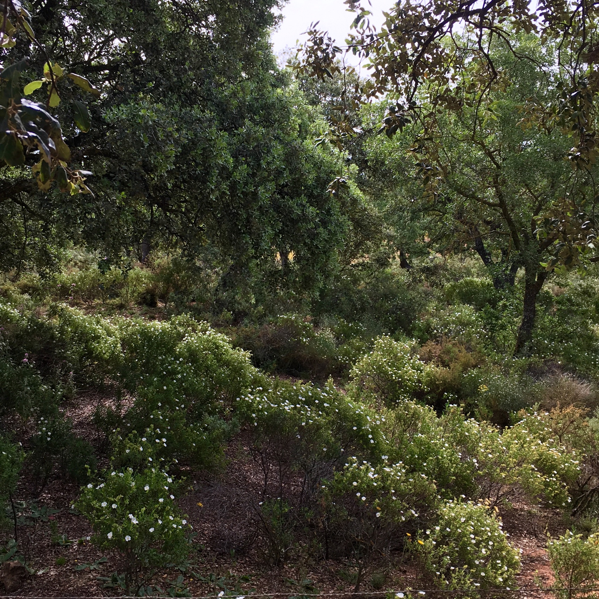
But before long we were walking away from the mess of man and up into a wilder space, a big area of shrubby Dehesa with cistus and potentilla.

IMG_4269.JPG
It was a beautiful area and I could see why some obviously wealthy finca owners had chosen it to make their gardens and erect their tents.

IMG_4273.JPG

IMG_4272.JPG
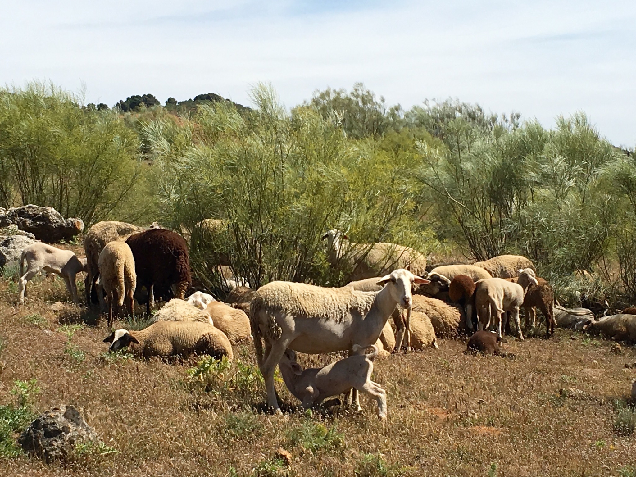
Plain farming folk were here too with their sheep and goats, their grain and their oaks.

IMG_4278.JPG

IMG_4288.JPG

IMG_4279.JPG

IMG_4281.JPG
Some of the olives were looking pretty industrial level Corp.

IMG_4282.JPG

IMG_4286.JPG
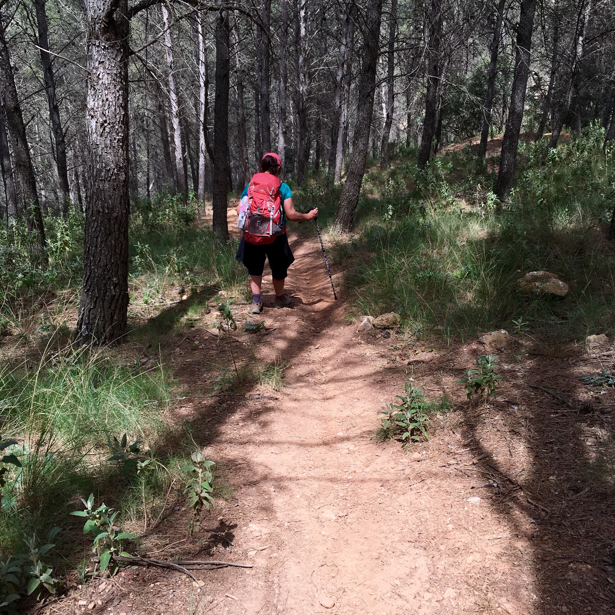
We climbed higher, passed the olives, to an area where pines had been harvested from the steep hillsides after a fire.

IMG_4291.JPG
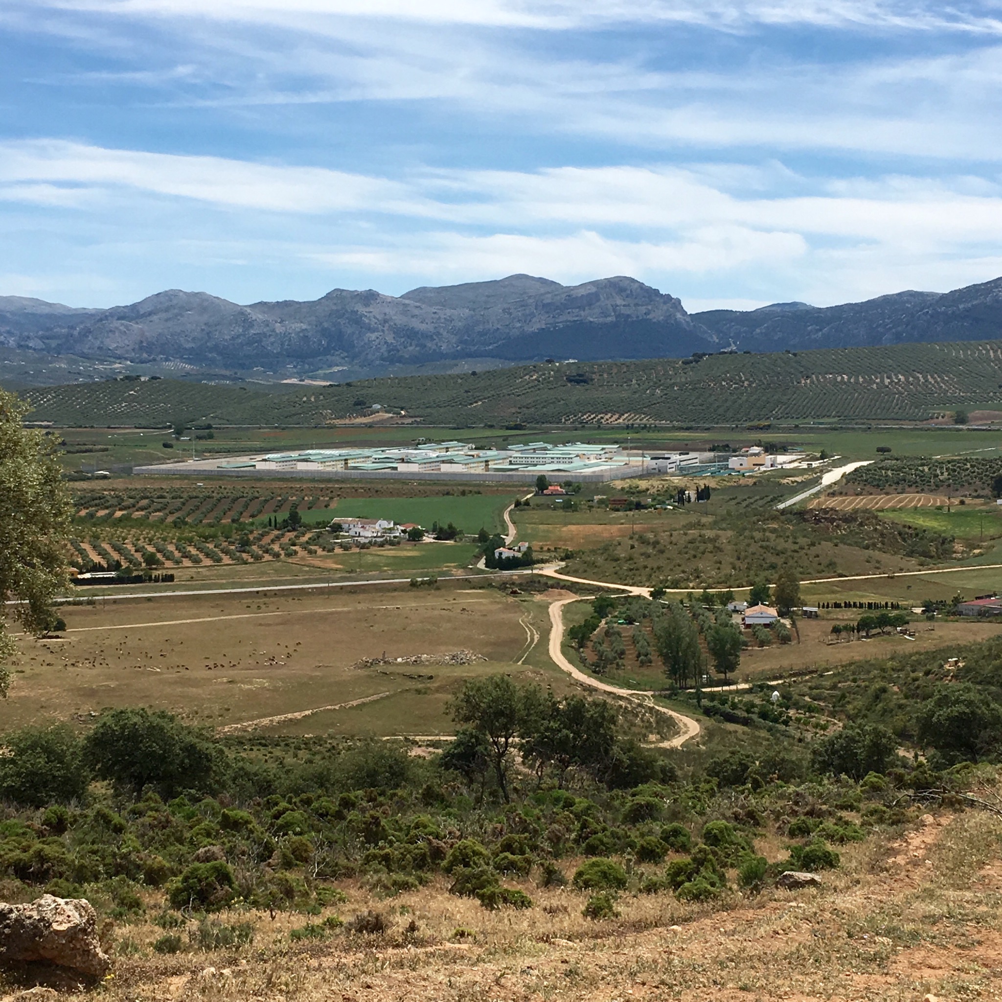
The view back was over the vast prison

IMG_4294.JPG
The view forwards was down into the Hoz de Marin and we climbed along its edge through the strangely coloured gypsum and clays.

IMG_4295.JPG
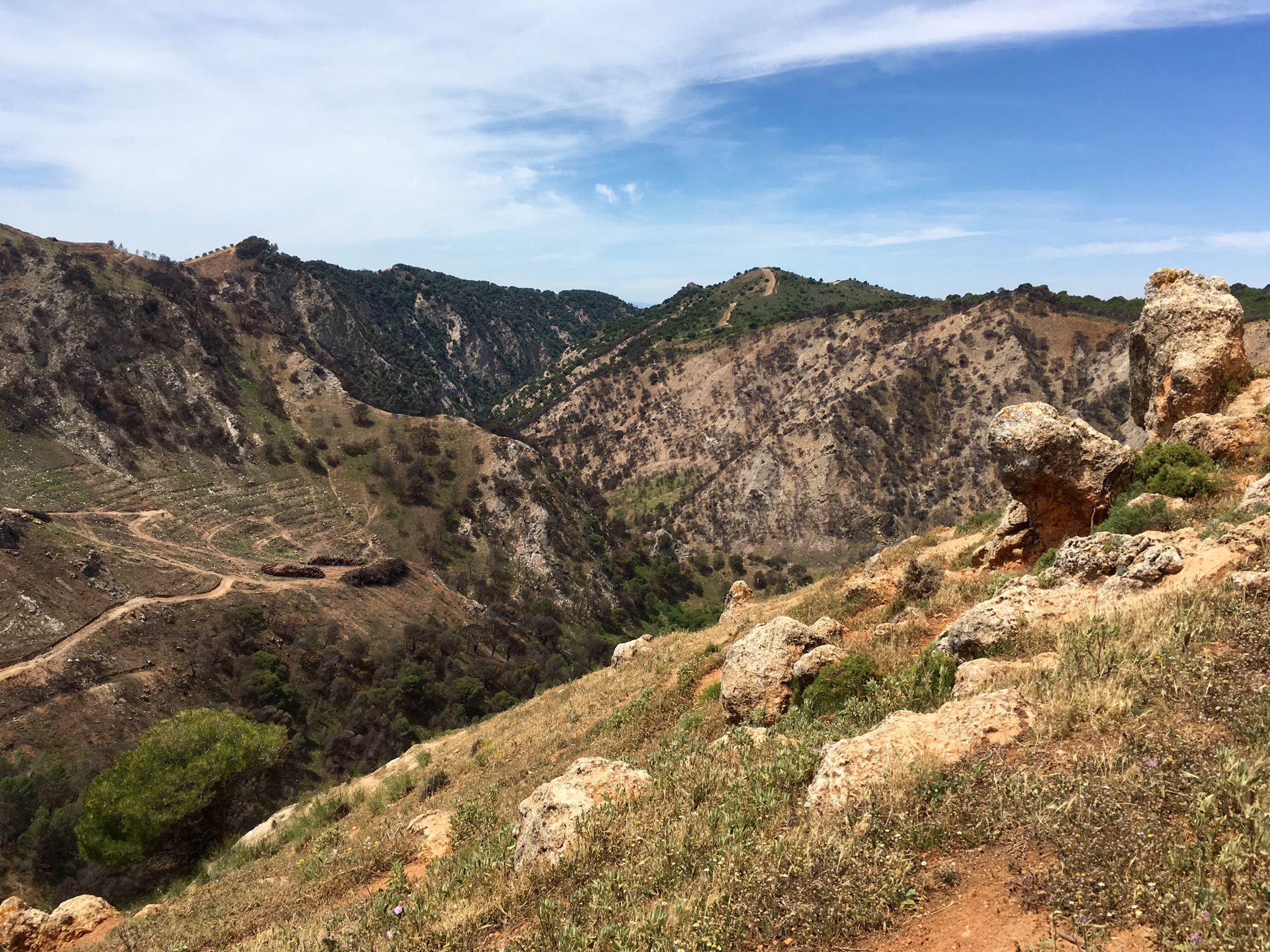
Before dropping steeply down through a pine forest on a track destroyed by mountain bikes.

IMG_4296.JPG
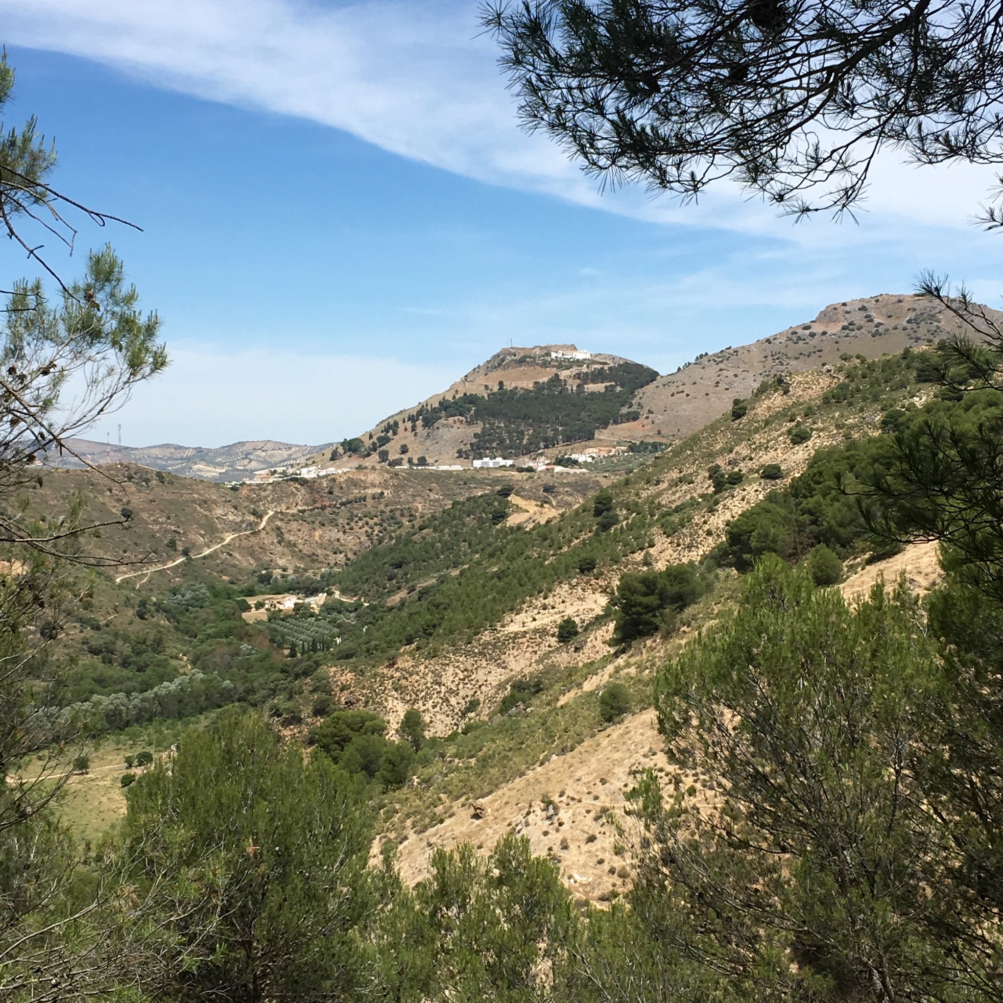
Our destination came into view between the trees

IMG_4297.JPG
and reaching the valley floor we crossed the river and walked along a lovely shady path before the last gruelling 100m ascent into town.

IMG_4298.JPG
We realised why the last climb had been such hot work when we saw 33• degrees on the thermometer sign.

IMG_4303.JPG
And so a few days rambling over we plan our return to Ireland and maybe our return to the GR 249.

IMG_4287.JPG

LA GRAN SENDA DE MALAGA: GR 249. 13/14th MAY COMPETA TO CANILLAS de ACEITUNO (22km) to PERIANA AND BEYOND(29 km)

Continuing my circulation of Malaga province for a few days Sally and I spent a night in a Competa townhouse with views over a jumble of interconnecting roof terraces.

IMG_4062.JPG
Leaving the village in the morning past the Ermita de San Antonio, we were startled by the surreal sight of an ostrich beside the log railed path.

IMG_4066.JPG

IMG_4069.JPG
The way was lined by the thrusting stalks of agave flowers.

IMG_4071.JPG
Canillas de Albaida came into view with the Maroma mountain range towering to over 2000m in the background.

IMG_4073.JPG
This area is renowned for the grapes grown between the olive trees and dried on netted sloping pens.

IMG_4077.JPG

IMG_4078.JPG
We entered the wild and forested Naturel Parque de Sierra Tejeda, passed the deserted Casa de Haro and down to the old Roman bridge at the start of a long steep climb up to Puerto de la Cruz del Muerto.

IMG_4085.JPG

IMG_4082.JPG

IMG_4084.JPG

IMG_4079.JPG
The wild flowers were a glory to us and the multitude of bees feeding on their nectar and gathering their pollen.

IMG_4089.JPG

IMG_4086.JPG

IMG_4094.JPG

IMG_4098.JPG
A long drop down to the hidden village of Salares over another Roman bridge and a quick coffee break was followed by another steep climb past an old threshing circle or “era”.

IMG_4088.JPG

IMG_4090.JPG

IMG_4093.JPG
The grain winnowed here for generations was still growing feral in the deserted fields.

IMG_4097.JPG
Another descent, another ancient bridge and we climbed into the flower bedecked streets of Sedella.

IMG_4100.JPG

IMG_4099.JPG
Our last big climb of the day led us past a series of narrow terraces of neat vegetable ridges and grain crops surrounded by more wild flowers.

IMG_4104.JPG

IMG_4101.JPG

IMG_4107.JPG

IMG_4105.JPG

IMG_4103.JPG

IMG_4106.JPG
The lushness was enabled by irrigation channels emerging from a water mill on the hill above the village.

IMG_4108.JPG

IMG_4109.JPG
As we climbed the views opened up eastwards passed the irrigation canals to the mountains and firebreaks

IMG_4110.JPG
and south towards the sea.

IMG_4112.JPG
At the summit was the well equipped recreation area with camping spots, showers, toilets , water taps, barbecue pits etc and Sally rested briefly on the designated bench.

IMG_4114.JPG

IMG_4113.JPG
From there a long descent past impressive holm oaks took us finally to our accommodation for the night and a very welcome but chilly dip in a pool.

IMG_4122.JPG

IMG_4116.JPG

The next morning we started by climbing down a steep path into the Rio Almanchares, up into the village and down again on a woodland path to the caves of La Fajara which have tunnels and passageways of 1500m.

IMG_4131.JPG

IMG_4133.JPG

IMG_4128.JPG

IMG_4125.JPG
A 3km climb on a track with the forested Natural Park on one side and clumps of waving grasses on the other was followed by a steep clamber down through an olive grove into Alcaucin.

IMG_4136.JPG
Passing the traditional graveyard and a very untraditional housing block we found a bar for cafe con leche.

IMG_4139.JPG

IMG_4138.JPG
From there a concrete track took us down down to the riverbed and up again to cross the road leading to the Boquete de Zafarraya, the gap in the mountains that led towards Granada.

IMG_4141.JPG
From the mirador del Pilarejo there were views back over the Maroma range and westwards over Vinuela reservoir.

IMG_4142.JPG

IMG_4144.JPG
The concrete track continued for another 5km or so through olive groves and an amusing chameleon juddered across our path.

IMG_4145.JPG

IMG_4149.JPG
On the outskirts of Periana was an area of unfinished development the bubble had burst over. Plazas and plots empty and waiting.

IMG_4150.JPG
We were soon climbing away from the town on the bed of the old railway which ran from Malaga to Zafarraya till 1960. Steep enough to need a cog system to draw the trains up the slopes the track makes for a fine walk under bridges and through cuttings to the high point at 875m and fine vistas westwards across the yellow rape fields.

IMG_4151.JPG

IMG_4158.JPG

IMG_4156.JPG
We stopped at the spot we had reached from the other direction last year and after relaxing in the shade from our efforts and soaking up the views we returned the 5km to Periana and a lift to dinner, beer and bed.

IMG_4155.JPG