A WALK TO THE PICOS
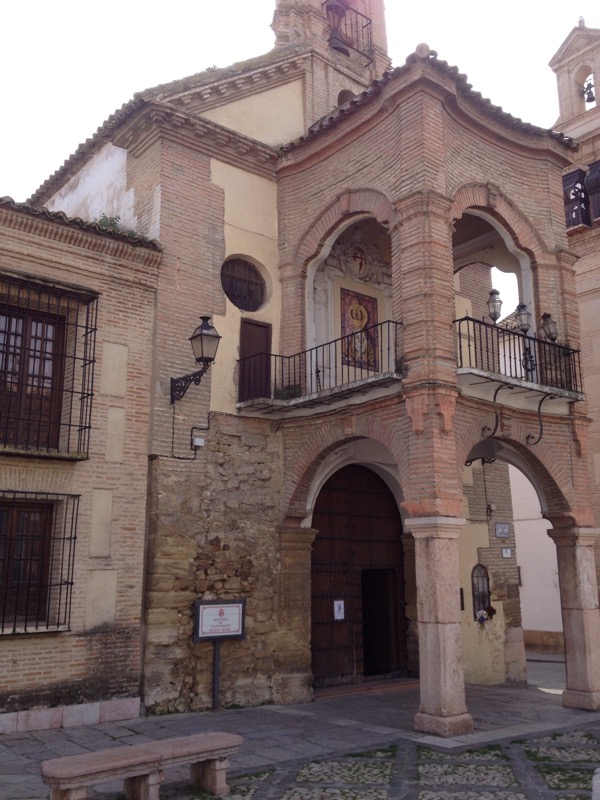
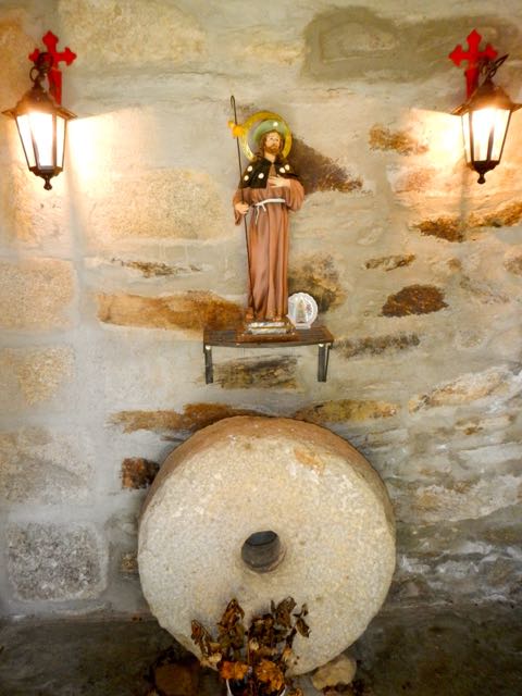
Whilst kissing a piece of the cross of Jesus in the Chapel of the 5th century monasterio of Santo Toribio de Liebana it struck me that it was a satisfying if unusual ending to our week long trek over the Cordillera Cantabrica.
The Monastery was tucked into the folds of the wooded foothills of the Picos de Europa in Northern Spain and this sacred relic, encased in a silver crucifix has drawn pilgrims for hundreds of years and made the site, with its promise of absolving a life time of sin, as much as must see destination for the devout as Rome, Jerusalem and Santiago de Compostela.
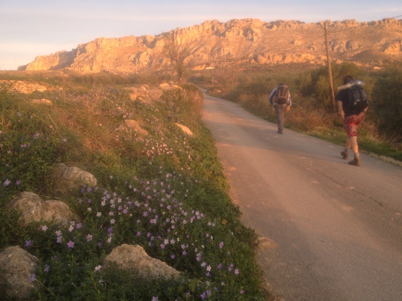
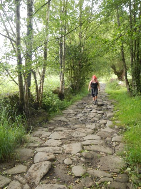
We had spent 5 days hiking roughly 100kms of the waymarked gr 71 across the Parque Natural Saja-Besaya and Spain’s largest National hunting reserve, along ancient stone paved lanes between delightful villages, foresters tracks through the oak and beech forests and drovers roads high on the grassy mountain slopes accompanied by the symphony of cow and horse bells.

Headed East to West the goal of the Picos grew larger and more majestic, drawing us onwards through a landscape still inhabited by wolves, mountain cats, brown bears and wild boar, though the only ones we saw were in the old photos hanging in most bars of hunters proudly displaying their trophies.

The gr 71 is neatly split into day sections of 20 kms usually involving an ascent and descent between valley bottom hamlets where accommodation and food is available, but don’t expect shops, night clubs or english speaking.

This is deeply rural Spain and doesn’t see too many tourists – we didn’t come across any other walkers on the trail, having the tranquil forests and vast open vistas of the high Sierras to ourselves.
After flying into Santander we took the train for an hours journey winding up the Besaya river valley to Barcena de Pie de Concha and the start of the gr 71. As luck would have it not long after we checked in to Casa Ferrero (+34 942 841303), the loud blasts of firecrackers and bangers signaled the beginning of a night’s fiesta and we followed the locals down to the riverside showgrounds where an articulated lorry had been converted into a stage upon which a troupe of Cantabrian singers in traditional dress were shaking their tambourines and giving lusty voice to folk songs whilst the tarpaulin covered bar dished out wine, beer and sidra, the local cider poured from a height to fizz it up and orujo, the very pokey liquor made from grape skins and flavoured with a variety of fruit.

Returning to the small hotel our hostess served us dinner. Struggling with her English dictionary she offered us pumpkin landing which turned out to be stuffed courgette.
Not withstanding occasional linguistic stabs in the dark, the meals we ate every evening after an appetite raising days trek were always delicious. The epitome of hearty mountain food, cocido or fabada was one of the favourite dishes. A thick steaming stew with cabbage, white beans or chickpeas and a vegetarians nightmare of porkmeat, ham, chorizo, black pudding, beef, sometimes boar or deer and the occasional ear, snout or trotter – it certainly filled the gap. Also on the menu sometimes was Carne de Caballo, or horse meat, which explained the numbers of stout and stocky hispano/Breton horses grazing the high commonage alongside the Tudanca cow  – a breed famous for producing a rare and succulent steak. With delicious soups and seafood on offer for starters and local cheesses fruits and cakes for pudding, all washed down with a bottle of fine house red, it would be curmudgeonly to haggle over the 12 euro bill.
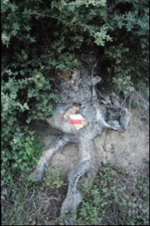
Setting off on our first morning, after tostado e café, we came across an information board mapping out the stage from Barcena di Pie de Concha to Barcena Major, a distance of just over 20 kms. At the start of each days hike we could check the boards for the route, the ascents and descents and rough timescale for completion, although the distances given didn’t always seem accurate. The red and white stripes of the gr walkways daubed on walls, trees and rocks were fairly frequent over most of the walk, which is covered by 1:50,000 map nos: 81, 82, 83 published by the Centro Nacional di Informacion geografica ( HYPERLINK “http://www.cnig.es” http://www.cnig.es)

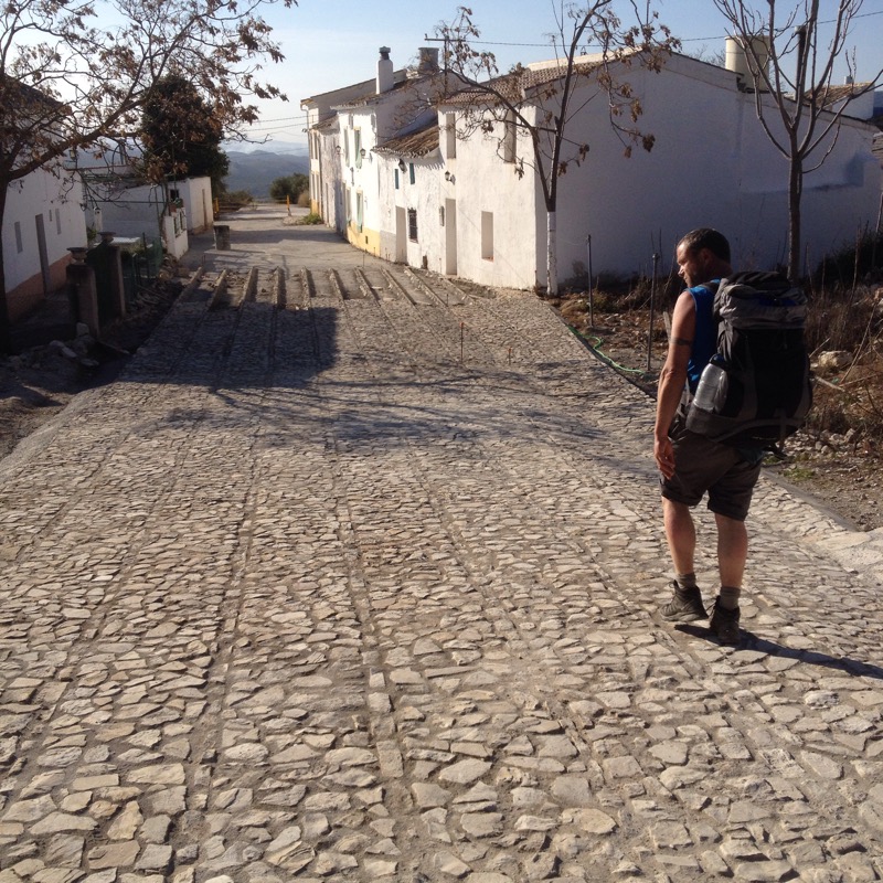
The long narrow street leading out of the village was lined by thick steel rails and posts sunk into purpose built holes in the roadside, which were being dismantled by a team of workmen. We had evidently missed a bull run the day before.
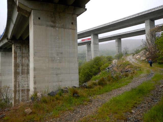
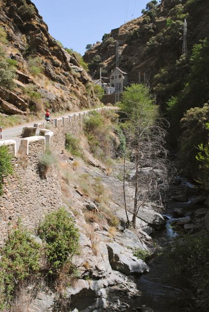
One of Cantabrias’s most well preserved Roman built roads led off towards Somaconcha 5 km to the South but we followed the Red and white stripe markers, leading us under the new A67 linking Santander with Palencia and Madrid. The modern Spanish highways are as awe inspiring as the 2,000 year old stone ones of the Romans, perched on towering concrete pillars to soar high above the woods and valleys, though unlikely to last as long.

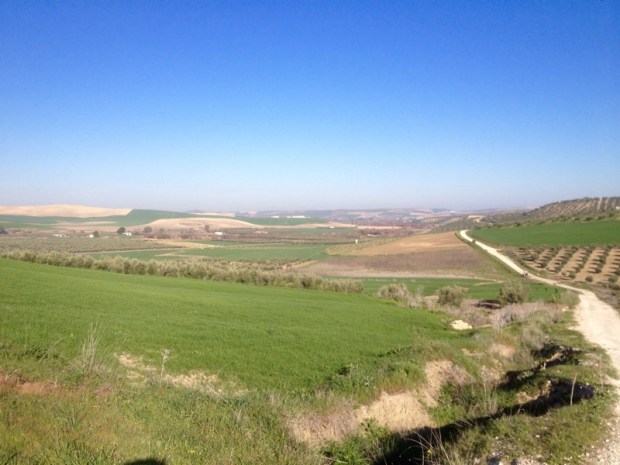
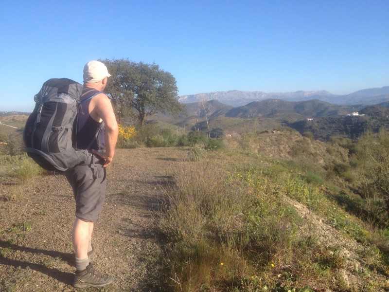
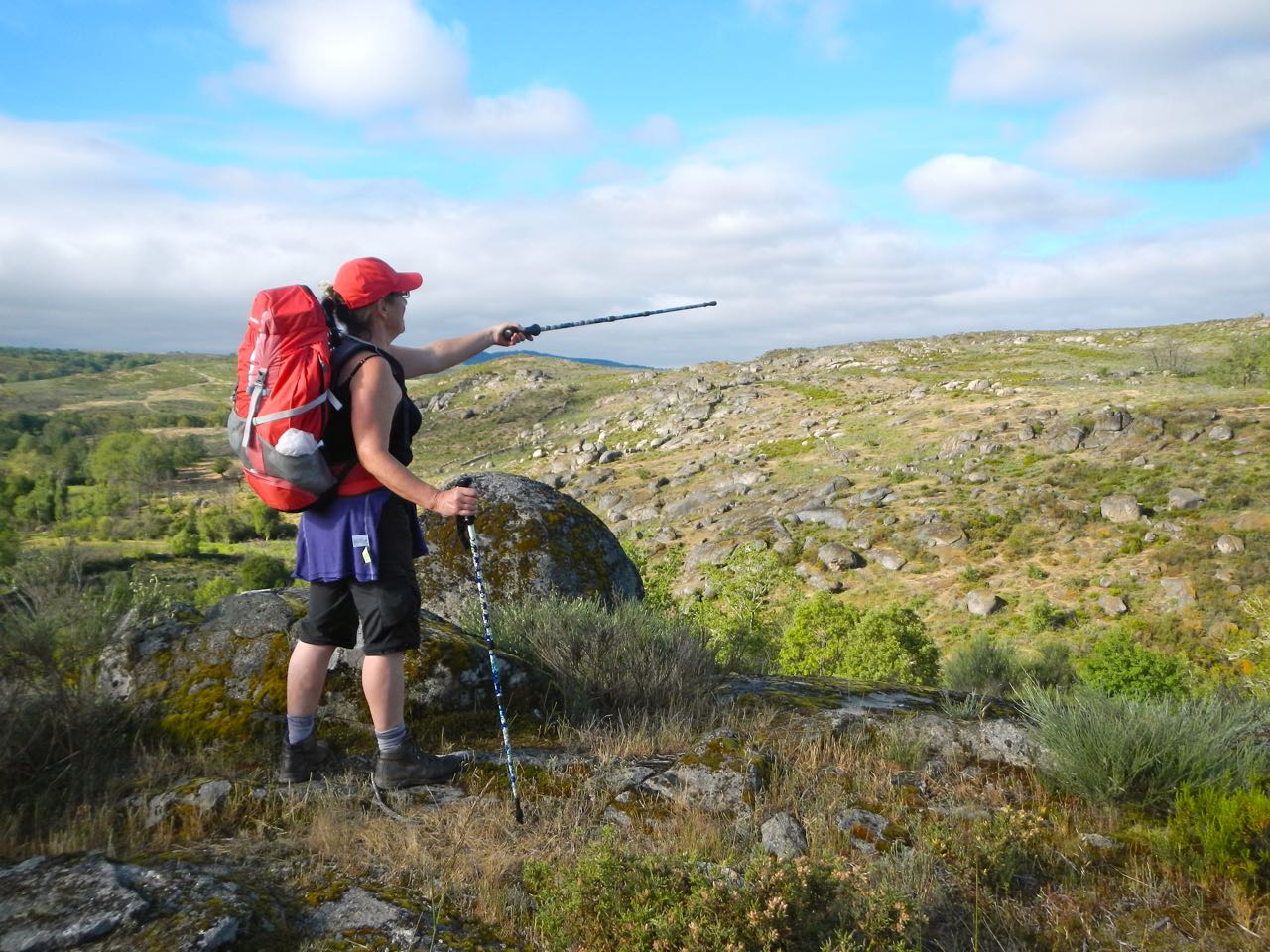
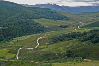
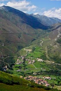
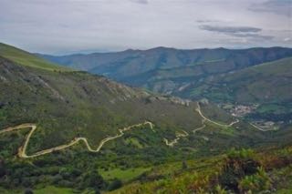
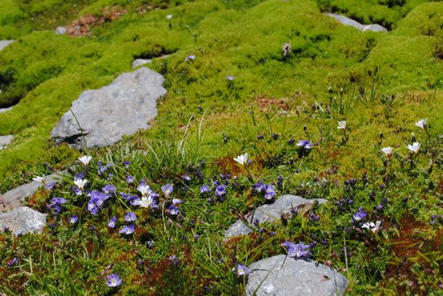
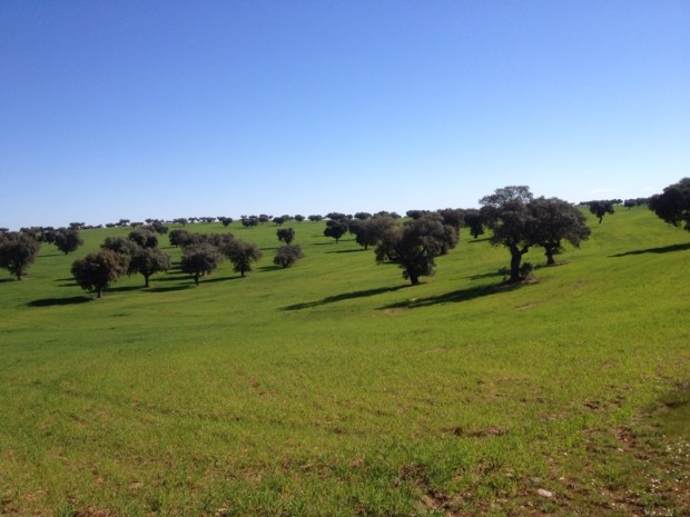
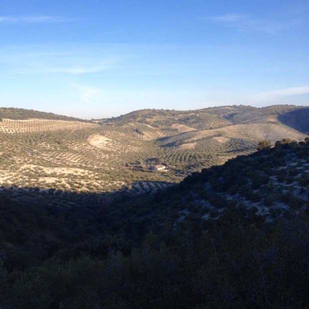
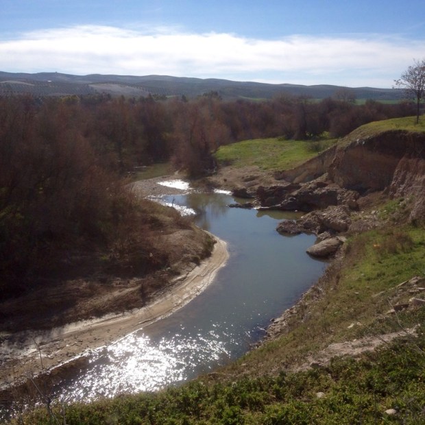
Through Pujayo, where San Lorenzo’s feast day on the 10th August is marked by men trying to climb a greased wooden pole, and up and up the zigzag dirt track for 5 km to the ridge, below Pico do Obios (1,222m). This is where you get a good view of the landscape the gr71 takes you through. All around, receding into the distance are the rounded folds of thickly forested mountains with their grassy tops circled by golden eagles and griffon vultures. In the valley bottoms far below clearings in the woods shelter stone and wooden barns and farmhouses surrounded by small fields and gardens .
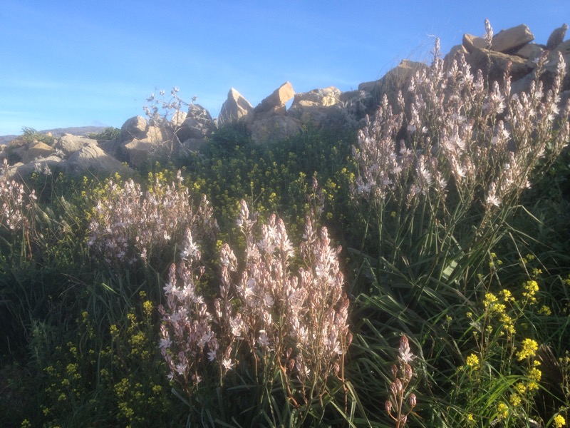
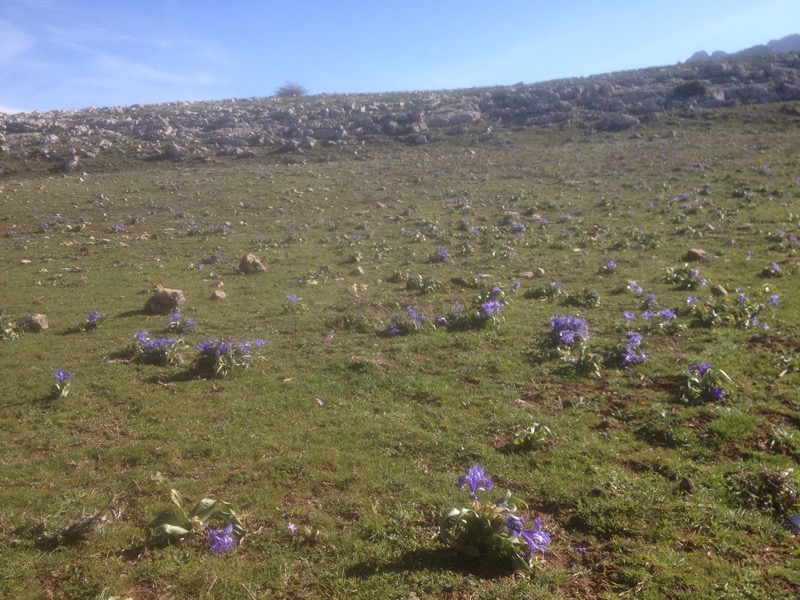
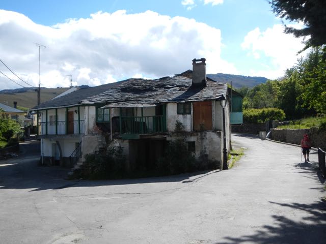
After crossing the Sierra de Barcena spotted with purple heather and yellow gorse, we needed to keep our wits about us to follow a badly waymarked section across the flank of Pico do Guarda and then down a wet and muddy track through a beech and oak forest to Barcena Major, reputedly the oldest village in Cantabria.
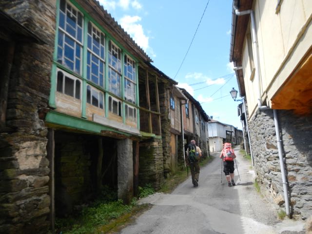
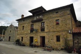
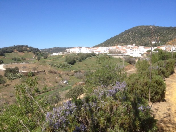
Cobbled alleyways and Plaza’s are line with well preserved and renovated buildings. Their cut stone and timber framed balconies festooned with a kaleidoscope of blooms. Unchanged for centuries it was declared an historic artistic site in 1979 and grants helped to transform the isolated village by improving the access road – although the residents may drive into it. We stayed at the charming Posada Reserva Verde (+34 942 741013) and because of the visiting tourists there are a number of places to eat and shops selling produce typical of the area.
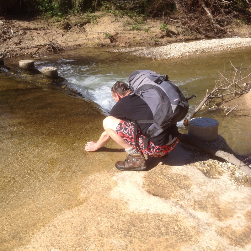
The next day’s stage meandered through the undulating countryside and sun dappled forests surrounding tiny hamlets of Colsa and Los Tojos reaching Saja after about 13 kms, allowing time to cool off in the pools of Rio Argozo before checking into our farmhouse accommodation (Casa de Labranza Sajos +34 942 741223). The crowing of the cockerels, barking of the dogs and mooing of the cows in the farmyard below got us up and out early the next day for a pleasant slog up the foresters track through the towering beech woods of the Parque Natural. These trees grew well on the slopes here to an altitude of about 1,000m before giving way to birch, mountain ash and holly and finally opening up on to high grazing land with views west to the Sierra de Pena Sagra at over 2,000m the highest we will pass on the gr71.

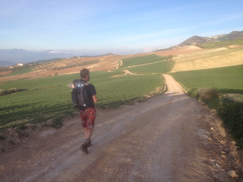
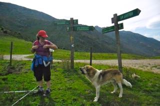
Following the track past hay meadows full of wild flowers we could see below us the red tiled roofs of the barns and farmhouses scattered around the Sobayo valley and soon the cliffs above the dammed gorge of the Rio Nansa.  A knee jarringly steep descent brought us to Tudanca 17 km from Saja another historic/artistic village, with a flurry of grant aided building actively restoring the ancient houses. Not having booked a place to stay we decided to head on to Pejanda, another 16 km, which involved another 660m ascent to Collado do Joza la Abellou, (where we shared our lunch with a large mountain dog
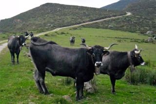
 left on duty to guard (from Wolves?) and corral the horses and cows before doubling back on ourselves to follow an ancient stone paved path along the contours of El Potro, high above the Embalse, or reservoir, de la Colilla
  . As we walked down through the heather, broom and bracken and back into boulder strewn oak woods the path was blocked by a landslide and we had to retrace our steps a little way before finding another waymarked path over a gully to meet up with our original route.
Another 5 km of gentle descent on a forest track through the oaks surrounded by the diggings of wild boar, brought us down to a tarmac road and 1 km later the very welcome sign of Pejanda and Casa Molleda (+34 942 729008)  our stop for the night. A couple of well earned cerveza in the bar hung with all manner of handmade wooden implements and instruments
  and a fortifying meal in the restaurant ensured a good nights sleep.
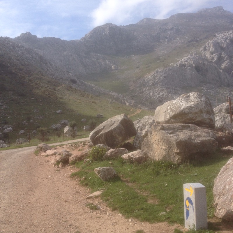
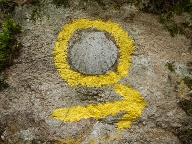
The information board outside the Casa indicated a 20 km section the next day with an ascent from 850m to 1,450m at Collade de las Invernillas followed by about 5 km of roughly level ground along the southern flank of Pena Sagra before dropping back down to 850m at Cahecho. We had been joined by one of the routes of the pilgrimage to Santa Toribio as well as the PR (shorter then the multi day gr’s) and consequently our way was marked by a plethora of red and white stripes, yellow crosses and yellow and white stripes and a mysterious blue and white chevron.
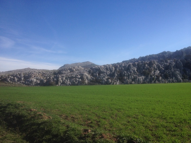
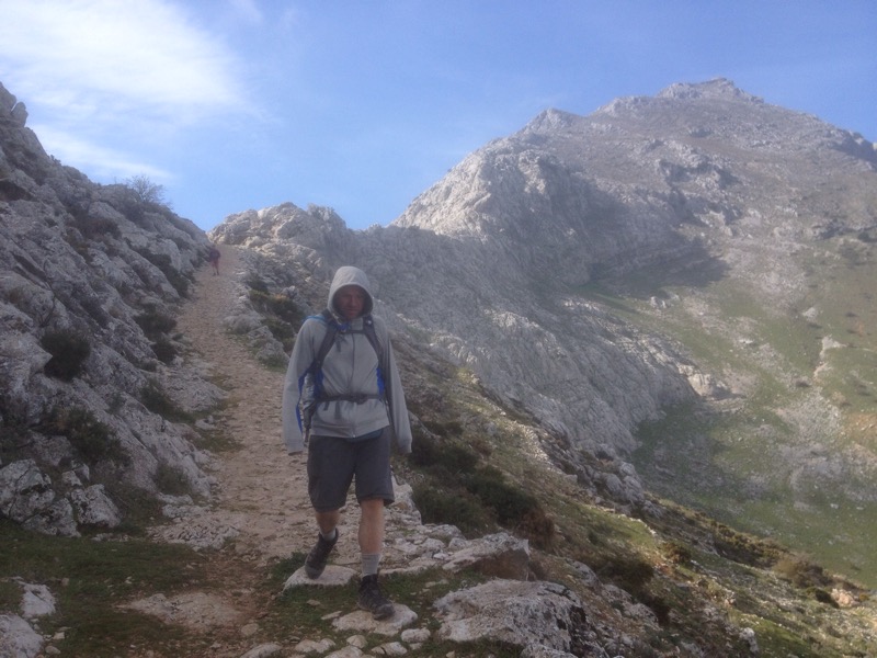
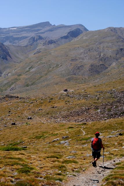
Care needed to be taken to follow our route after about 3 km when the gr peeled off and up to the right quickly gaining altitude and views of the Sierra ridge above us and the many abandoned farmsteads below. This must have been tough country to farm in with isolation, wild animals and wild weather to contend with. We, on the other hand, had enjoyed benign September weather with no rain all week and as we headed through the pass or Collado and along a beautiful section of pathway, freshly cleared of Spanish broom by some industrious rangers, the sun shone brightly giving us an excuse to rest up a while beside a tiny stone building on a knoll looking Westwards towards the massive limestone bulk of the rugged Picos. 
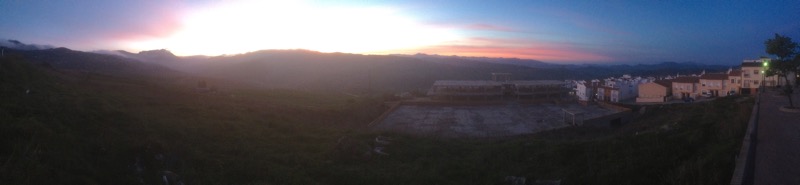
The gr71 route marked on the map we had seemed to have been effected by some new road building and we ended the days hike by approaching Cahecho along about 3 km of hard tarmac. The improved vehicle access has resulted in more renovated accommodation becoming available in the picturesque village with its viewpoint or mirador offering 360˚ views of the area. We stayed in Posada La Torcaz (+34 942 730501) where our friendly hostess, after pouring us a complimentary after dinner shot of oruja, proudly displayed a tourist poster featuring her home.
A short 8 km stroll down through the ancient chestnut and oaks in the morning sunshine brought us, after 4 days of quiet solitude in the empty vastness of the Reserva Nacional, into the bustling honey pot town of Potes with its medieval quarter full of tourists and everything they might spend money on.
The gr71 continued 30km from here up into the Picos for two more day stages to Bejes and finally to Sotres, but as we had to catch the bus back to Santander from Potes we didn’t have enough time. We did, however, have time for a scenic bus ride 24km to Fuente Dé and the cable care 750m up the sheer face of El Butron. Taking only 3.5 minutes it was certainly the easiest and also the most spectacular ascent of the week with white knuckle, vertigo inducing views of the natural amphitheatre directly below.


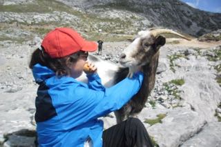
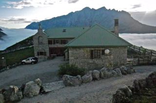
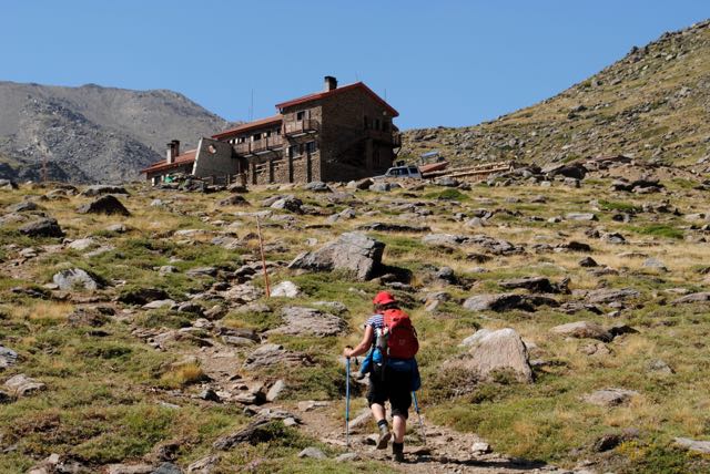
The cable care is operated by Cantur, a regional tourist body that also runs Aliva hotel, (where we were heading for the night, set in spectacular surroundings 1,666m up in the National Park. Stepping gratefully off the gently swaying cable car we avoided the souvenir shops and café and emerged into a stunning mountain scape of jagged white limestone peaks to the north and range after range of the Cordillera Cantrabica disappearing into haze to the South. Soaking up the magnificent view we had to fight off some very inquisitive mountain goats determined to eat our picnic. 
4 km of track following the pr24 led us through the pass of Horcadina de Covarrobres and past the Chalet Real (originally a Royal hunting lodge) to the green metal roofed buildings of Aliva where you can stay in hostel type rooms above the restaurant and bar or in private en suite rooms sleeping 2 or more in a separate building.
The lady who booked us in couldn’t have been more helpful, offering us guidebooks and maps from their library and telling us that as guests of the hotel we could get discount on the cable car and a free jeep ride back to it.
The Picos de Europa are very popular for adventure sports and the hotel caters for many groups from far and wide all Summer and is open at weekends and holidays in the Winter for those who like to play in the snow. The restaurant was certainly buzzing that evening and people looking for a table with a view can drive up from Espinama in a 4WD.
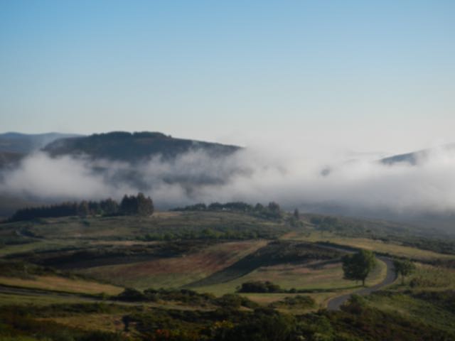
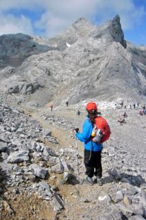
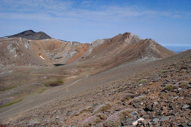
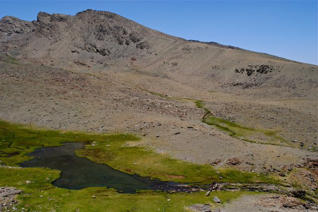
In the morning we were floating above a sea of cloud  and after availing of the Jeep ride back to the pass we walked for a couple of hours north west on the pr23, a hauntingly desolate but awe inspiring route
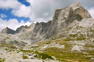
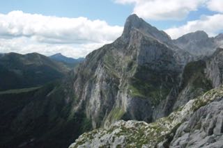
  across the rugged limestone beneath towering cliffs
 to the Collado Horcados Rojos at 2,345m. An easy to remember altitude with a memorable view of the fabled Naranjo de Bulnes, the Picos signature peak.
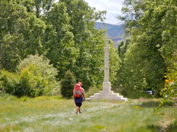
Returning to our hotel in Potes and a beer before dinner we realised we wouldn’t really complete our journey until we had walked the remaining 5 km of the pilgrimage route to the monasterio de Santo Toribio de Liebana.
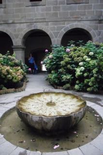
Arriving shortly before it closed for the night we were throwing some lucky irish coins in the cloister fountain when we heard sounds from the adjoining church. Following them, we barely had time to join the dozen people sitting in the pews before the priest called us up to kiss the cross. The timing,and the weeks walk, had been perfect.

 and vaulted naive
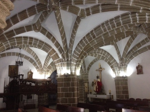
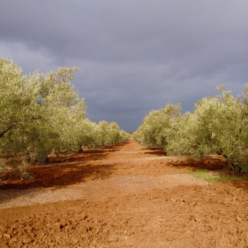
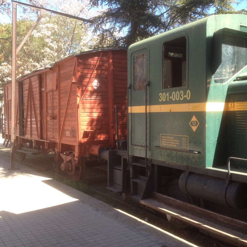
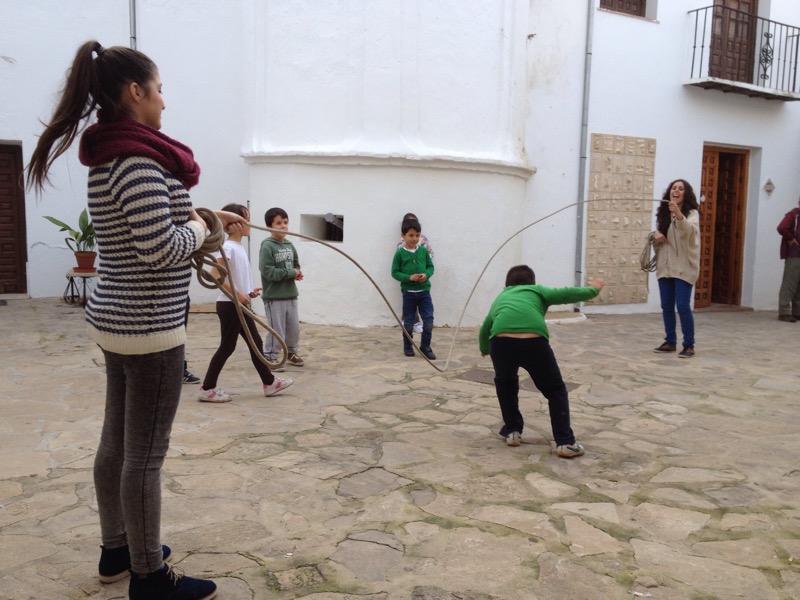
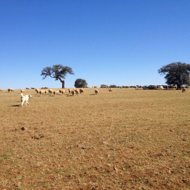
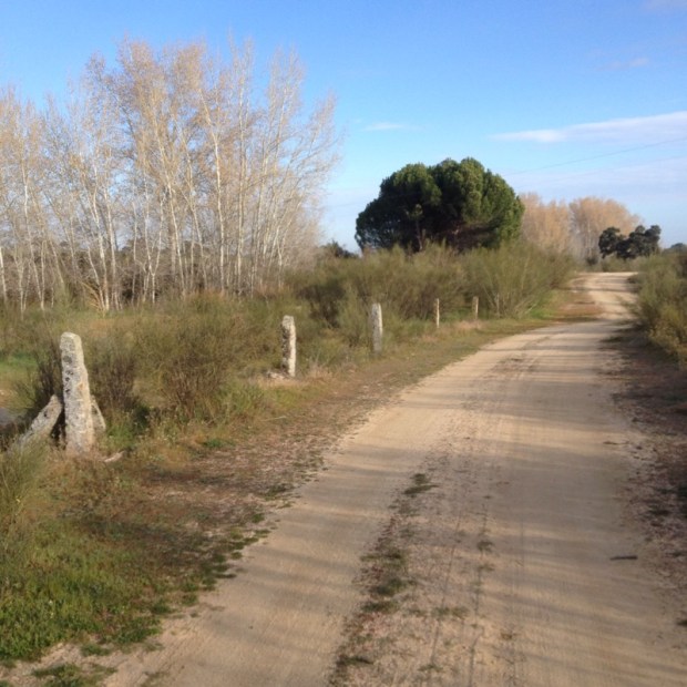
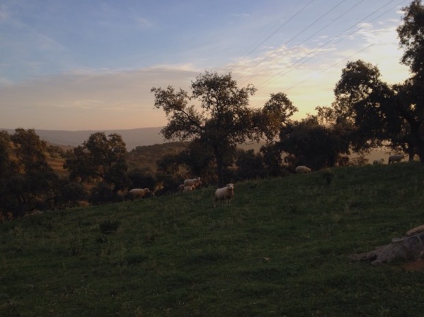
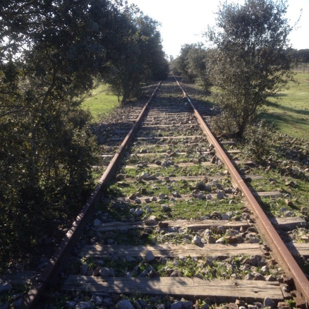
 Into a western set.
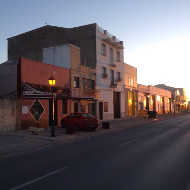
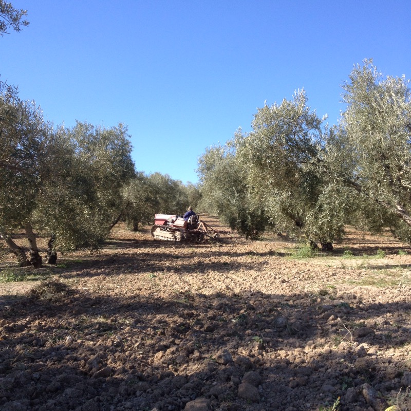
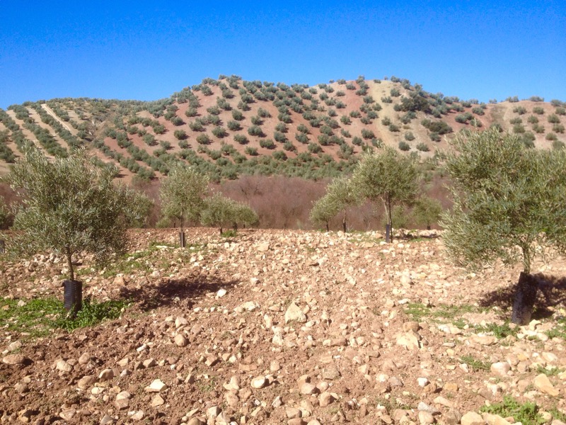
 I’ve noticed that they plough around the outside of fenced land- is it to discourage grazing near the fence ?


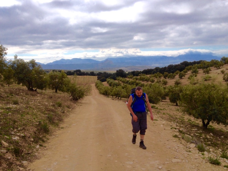
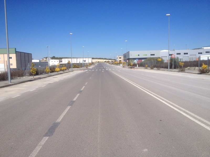
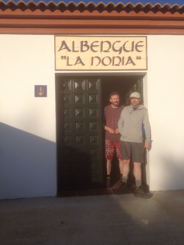
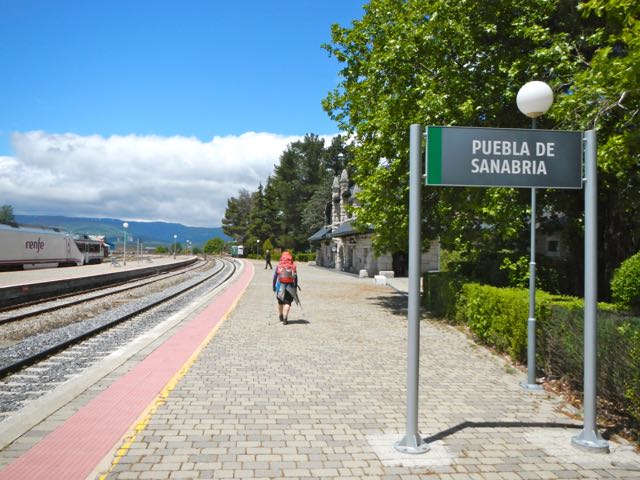
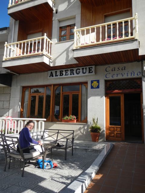
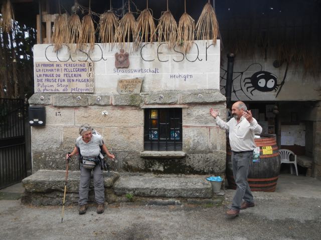
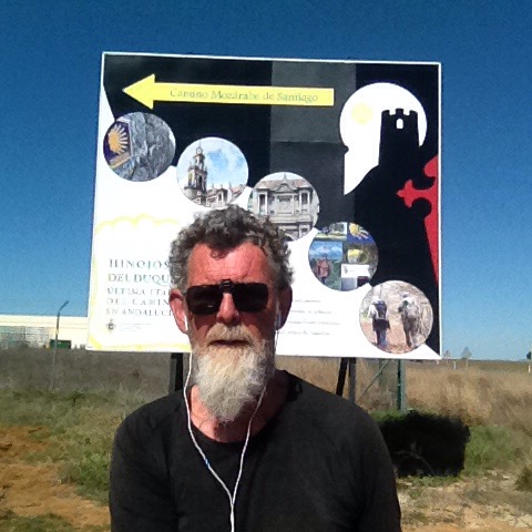
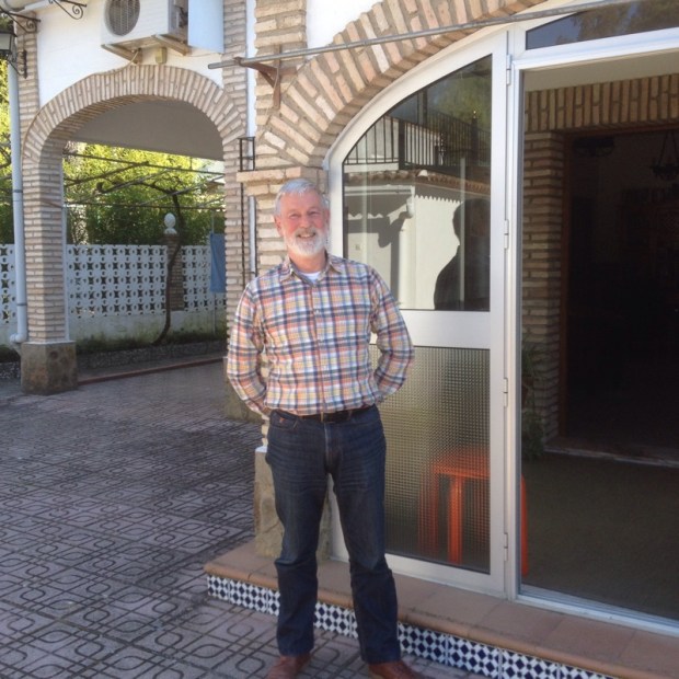
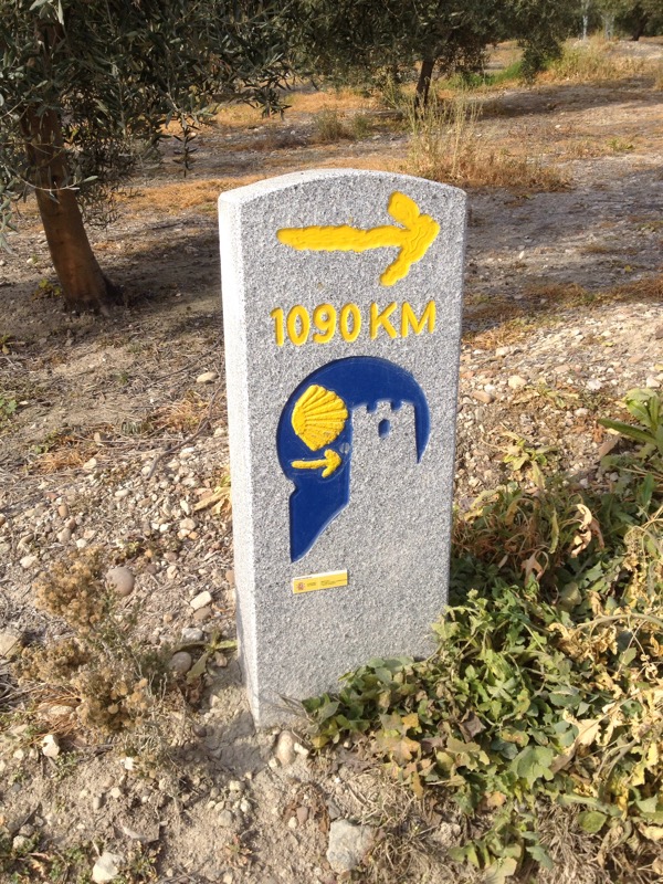
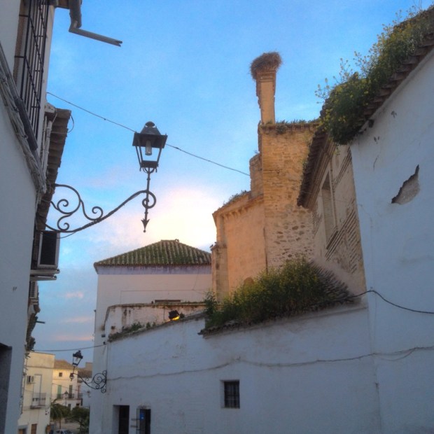
 And 6km of tarmac later I arrived here. I went up and down the street where the Casa parroquial was supposed to supply a bed for a weary pilgrim but I couldn’t find it. I went passed a hotel with Camino signs many times with a signs advertising special prices for rooms and menu for the peregrino and eventually gave in. So here I am writing this on the outside terrace where the patron has kindly erected a massive football full TV screen and even more massive light for my comfort
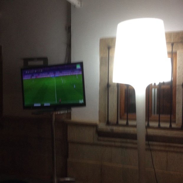


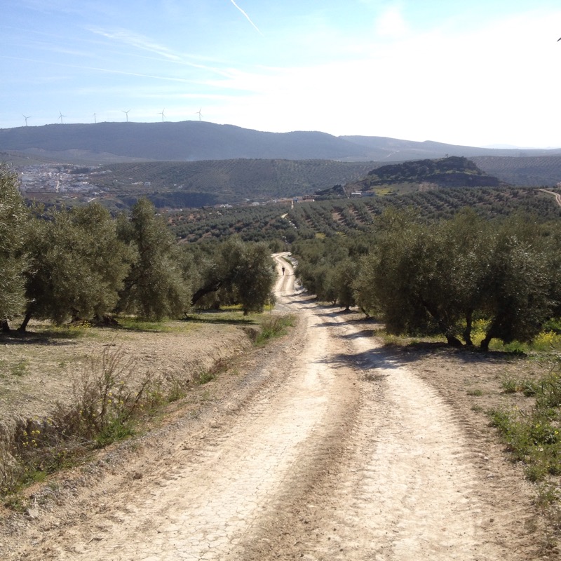
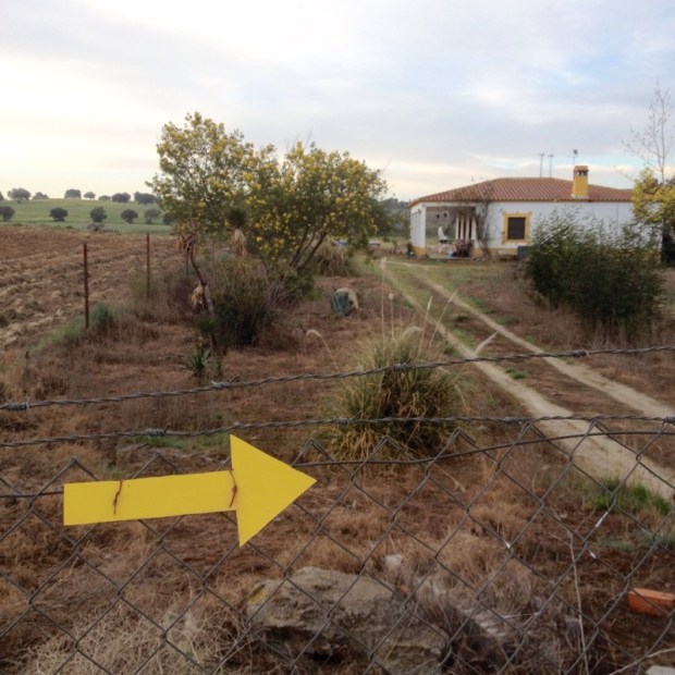
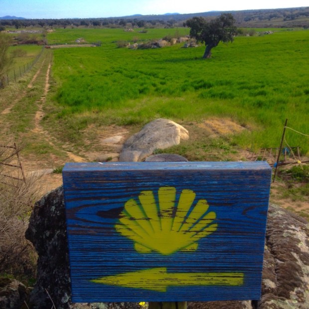
 arrows leading me to Villanueva Del Duque
 where 19th century mining had left it’s mark ( and a white rabbit)
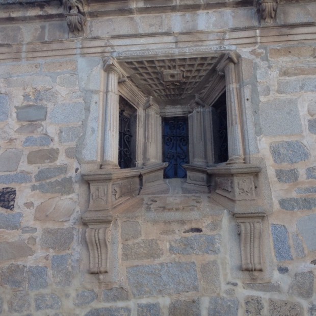
 and used in door surrounds and lintels
 and fencing
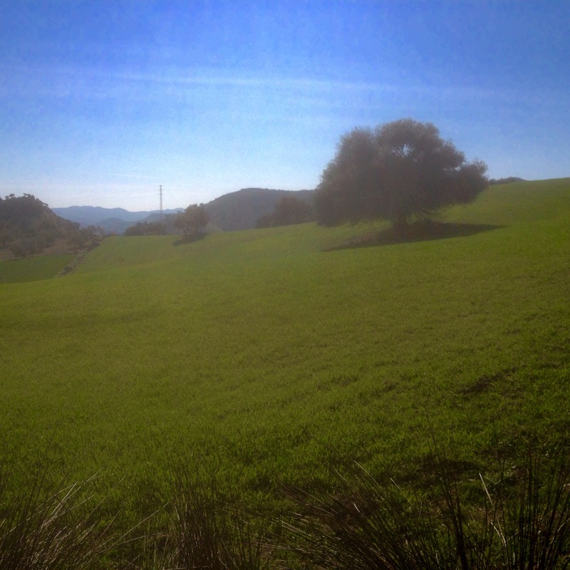
 and the landscape was dotted with rounded boulders
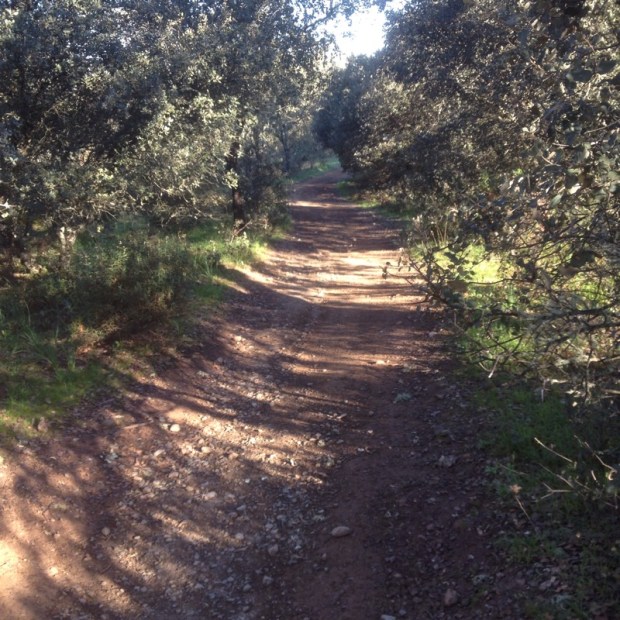
 and I followed the arrows past a stinking goat farm
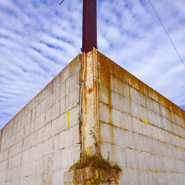

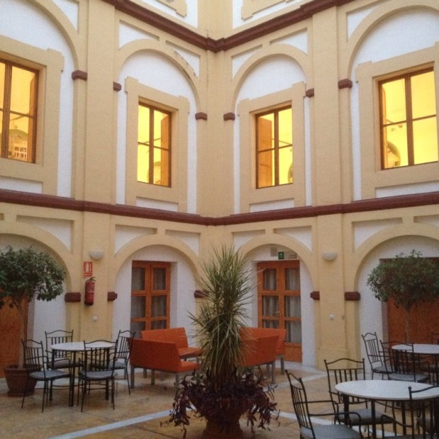
 I rang the local police who kindly came and gave me the key to the adjoining albergue which I’m sharing with a policeman stationed here who lives in Córdoba. Well he’s on the night shift so I won’t see much of him. It’s a newly renovated building with all a pilgrim could ask for
  and after showering and doing my washing I studied the poster of all the Caminos still to do
 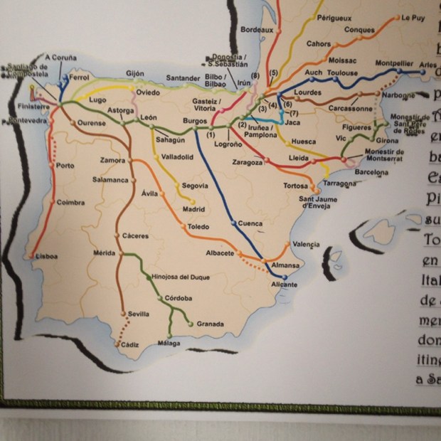 before retiring to the plaza for lunch. I was here by 1,30 and would have carried on but the next town is 32km away and the bed here is very comfy. I’ve been put off camping by the frosts that greet me every morning and so, with an Albergue to myself for a fiver, why suffer more than need be?


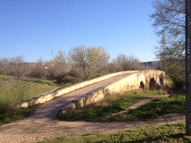


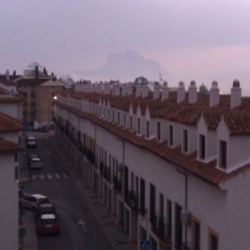
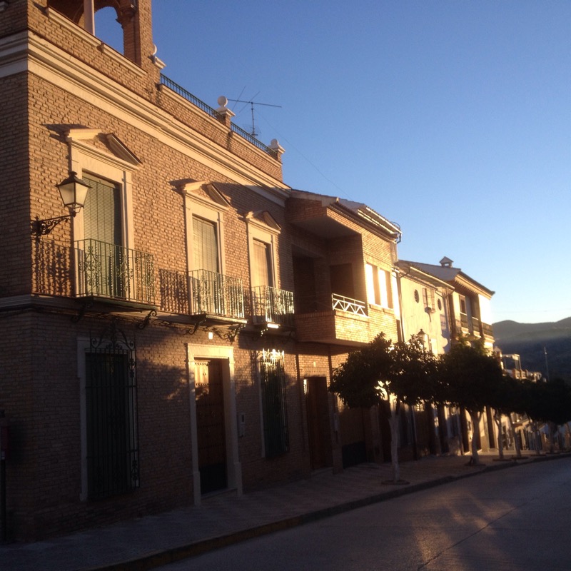
 before entering the seemingly quiet town,
 that suddenly came alive with drumming and centurions.
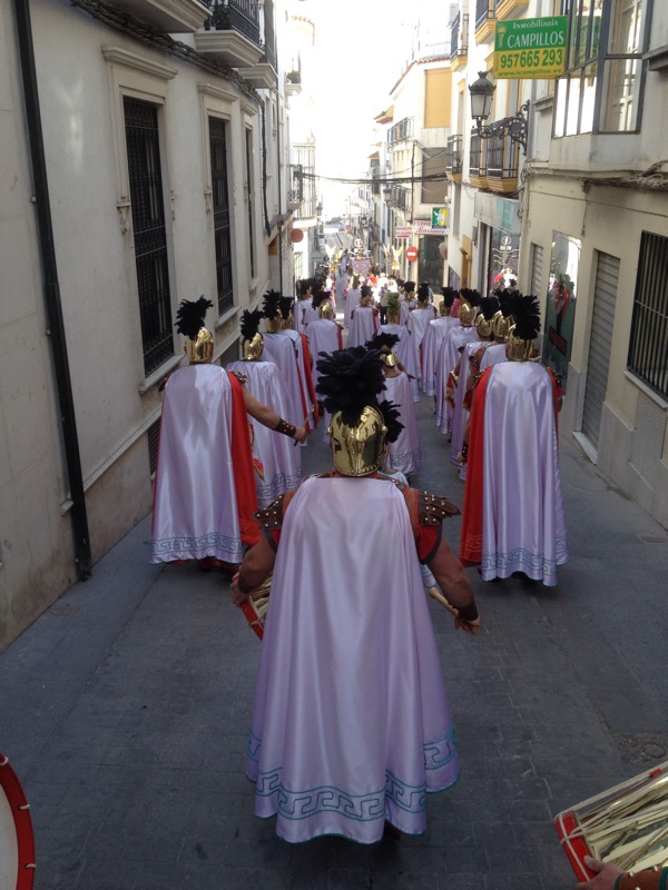

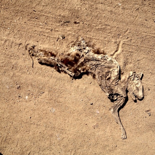
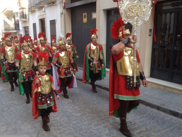 Legions of them, in different squads, marching around the narrow spectator lined streets. I moved on before the finale, past a nice graffiti dog
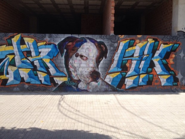 and millions of caterpillars of the processionary moth that have been a feature of the trail the last few days.
 Trying to avoid them as they marched back and forth across the track mad it look as though I was hop scotching to Santiago.
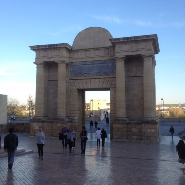
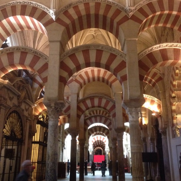
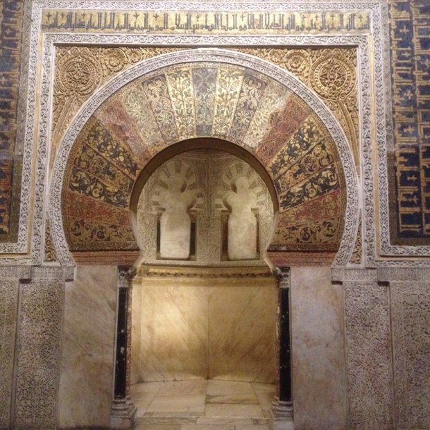
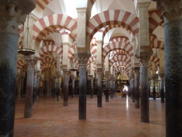
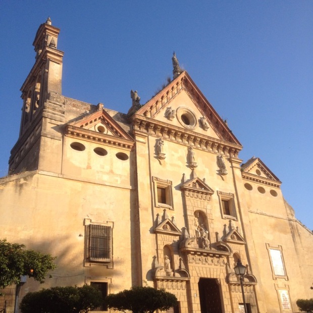
 Yet another beautiful ancient city with layers of Roman, Moorish and Spanish influence and infrastucture.
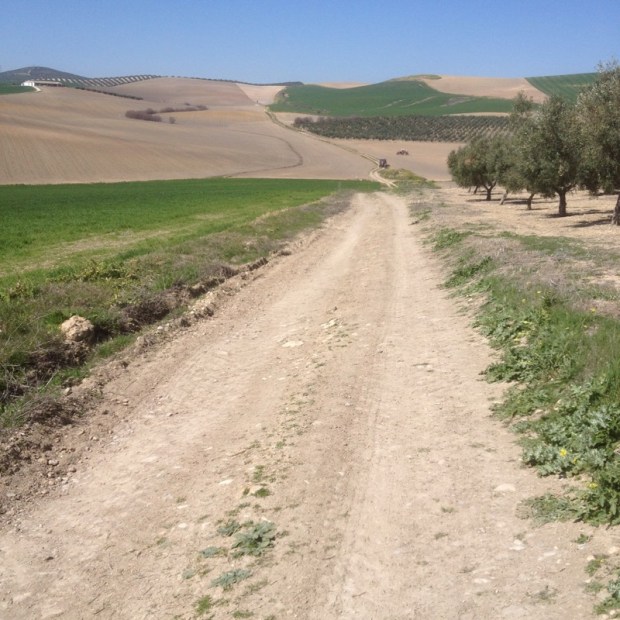
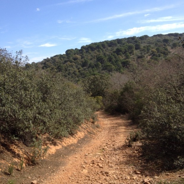
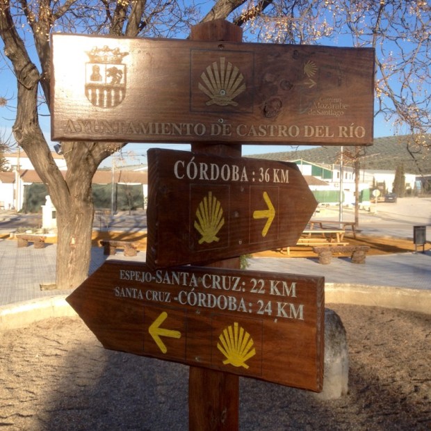 I decided to make the jump and go for Córdoba in one stage rather than two. Sign says 36km, more accurate guide says 39km.