CAMINO PORTUGUESE: Coastal and Spiritual Routes: Part 3

Mougás to Pontevedra: 4 days : 87 km

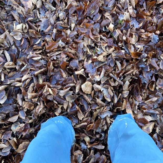
A short 16 km day ahead planned luckily which will go easy on Sally’s feet and Emma’s first day, although we still started early enough, rising with the pilgrim tide from their beds at the albuergue. With no kitchen and milk that had turned to yoghurt our fresh supplies of Irish tea bags were of no use to us and without a bar or cafe for miles we walked off under the lightening sky to venture once again into Galician Connemara.

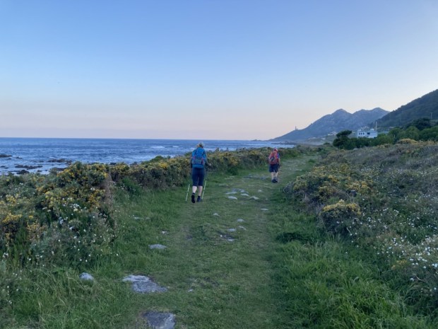
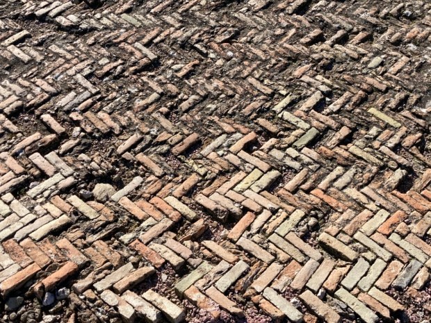
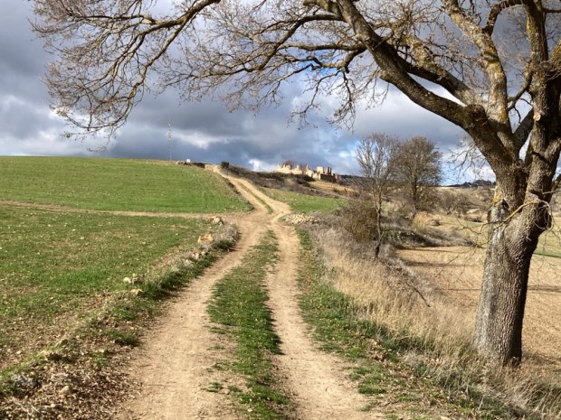
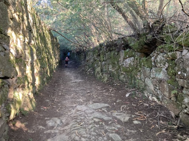
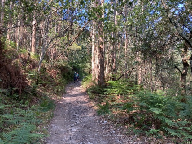
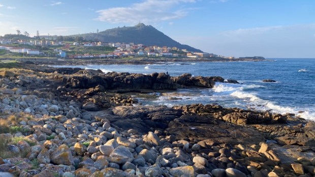
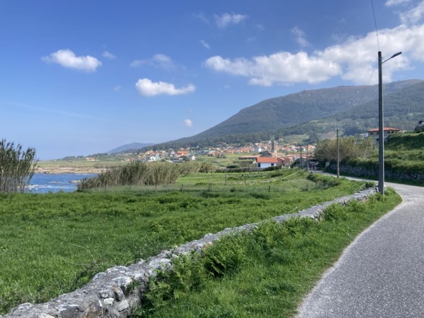
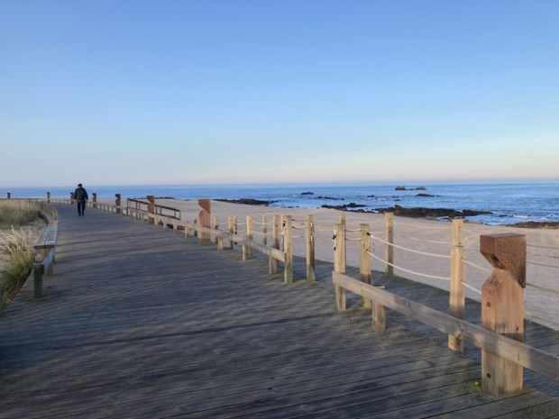
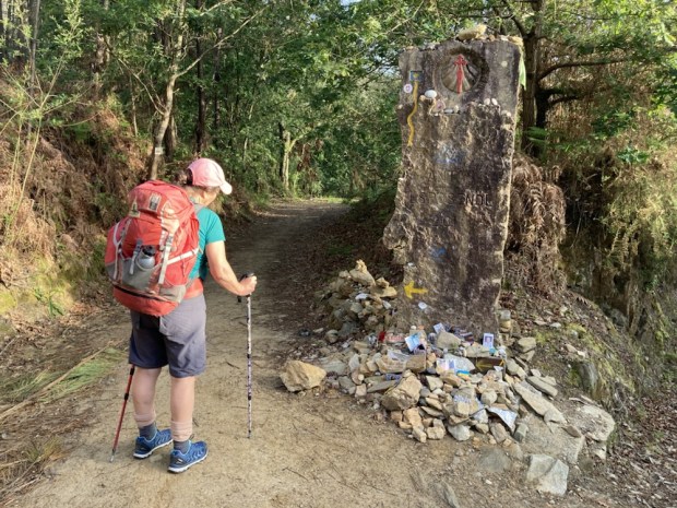
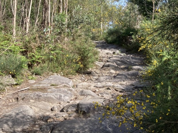
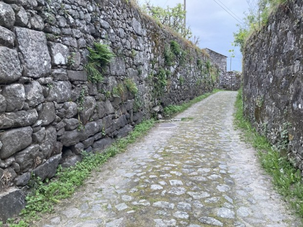
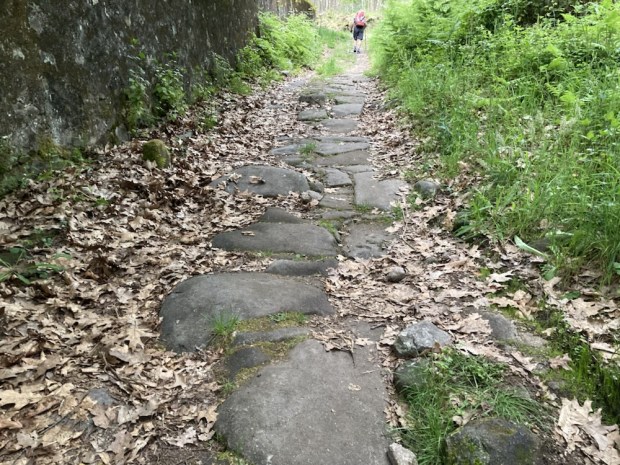
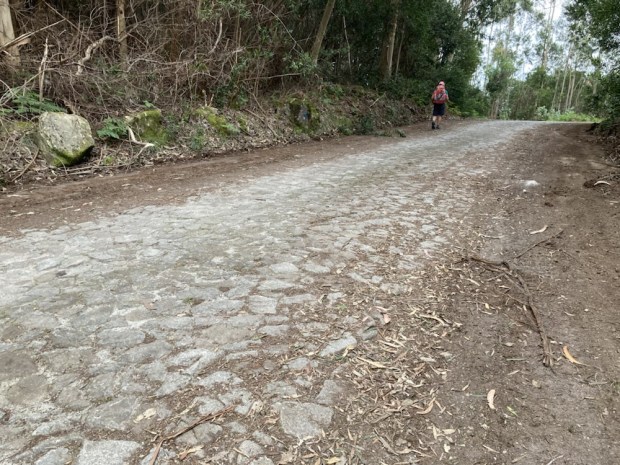
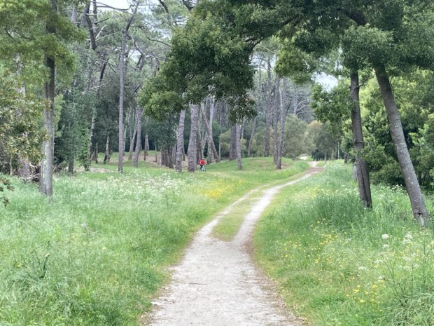
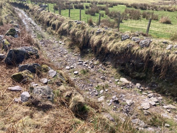
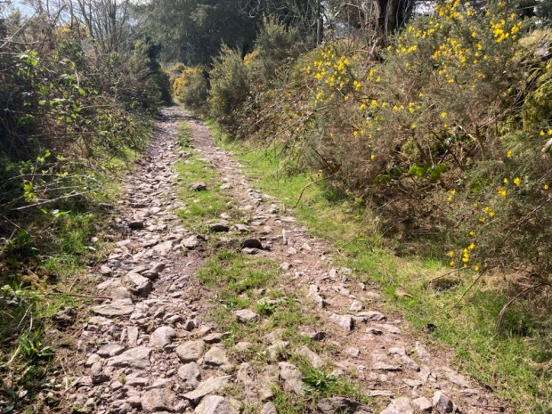
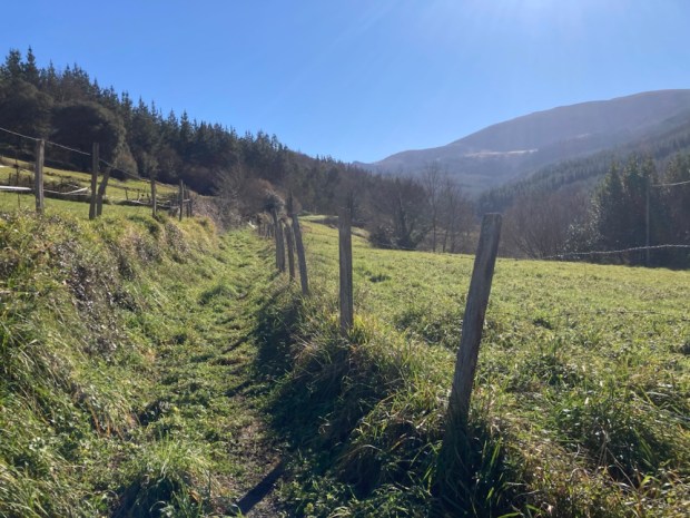
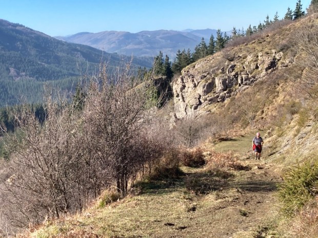
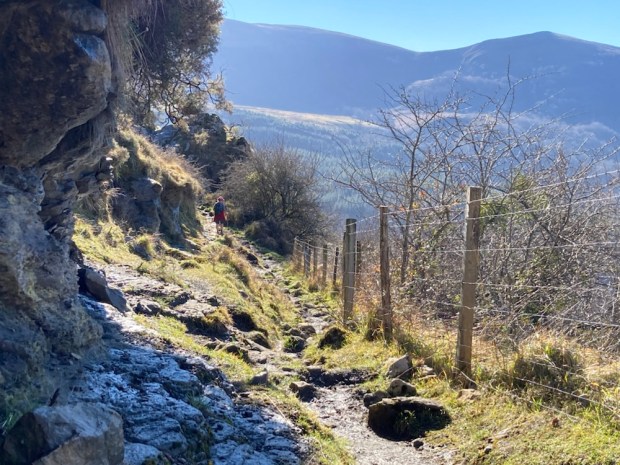
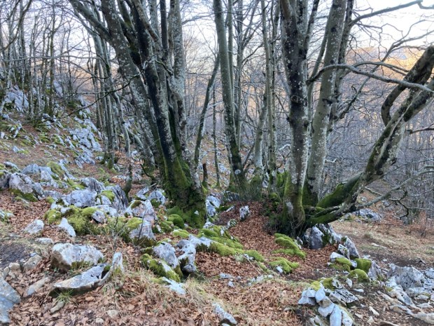
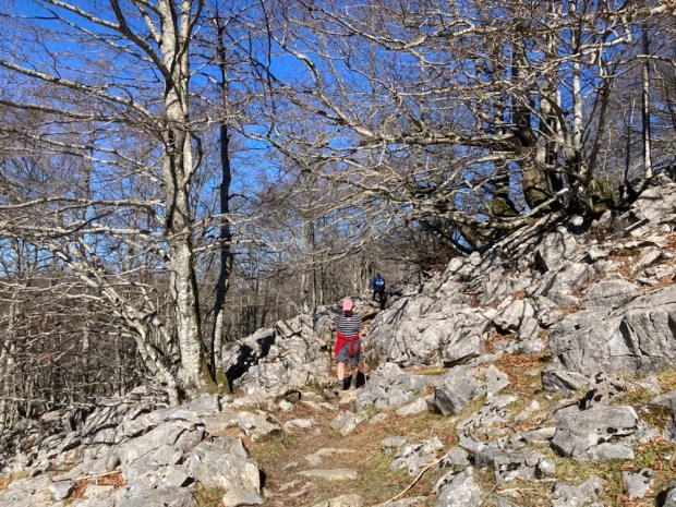
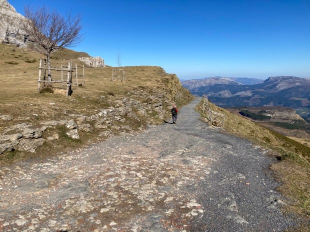
Again alternating yellow cycleway with sandy coast path for about 5 km we then turned up a forest track that became a wonderful and ancient stone paved track with the grooves of millennia of wheels carved into the granite. Stopping at the top after a short but sharp climb for restorative chocolate we admired the views over to the Cape Silleiro lighthouse.

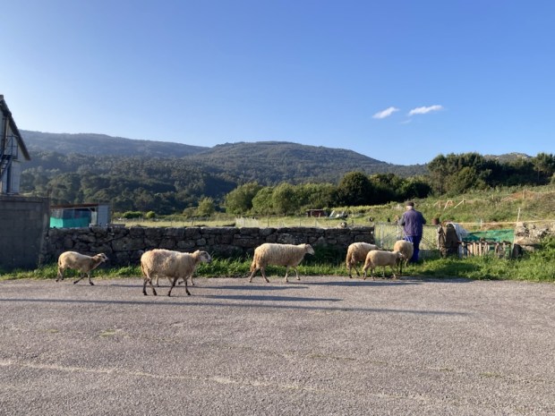
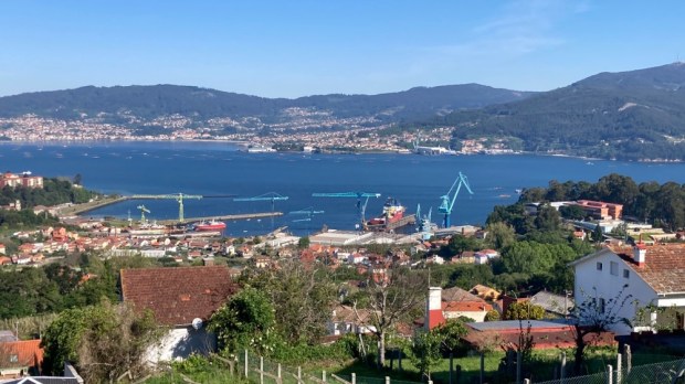
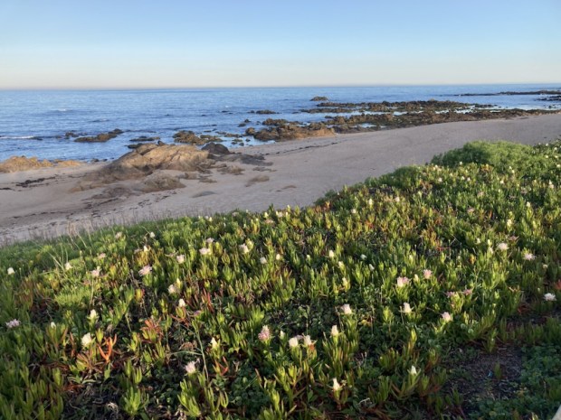
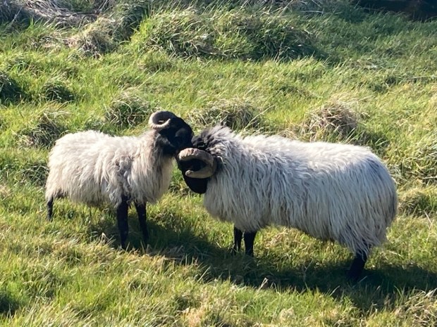
Coming down towards the coast on the other side of the headland through the pine and eucalyptus I passed a farmer calmly leading some sheep to graze. The rugged mass of the Cíes islands came into view. Supposedly a fine example of eco tourism, the limited number of permit holding visitors can only stay at the one campsite although there are 3 restaurants and a well stocked shop to enjoy after exploring the sea and trails on this National Park.

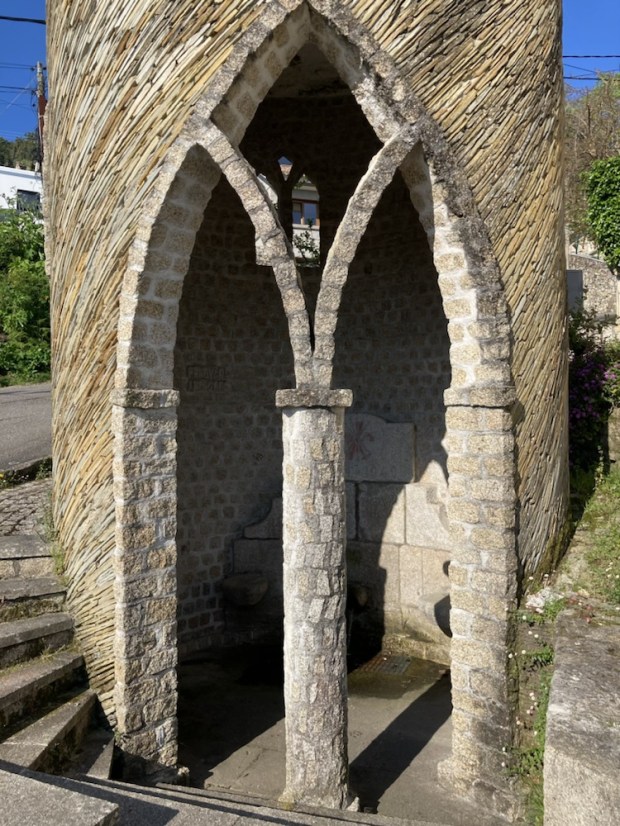
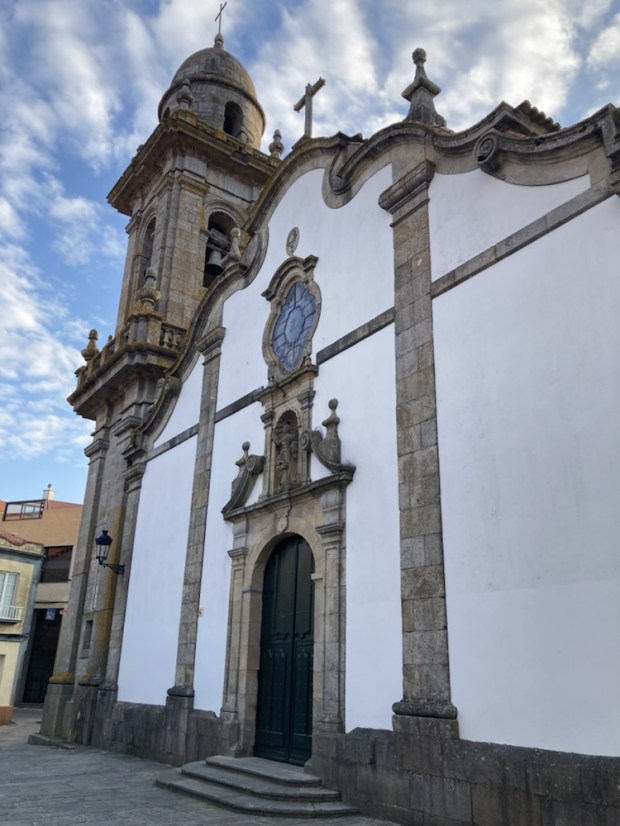
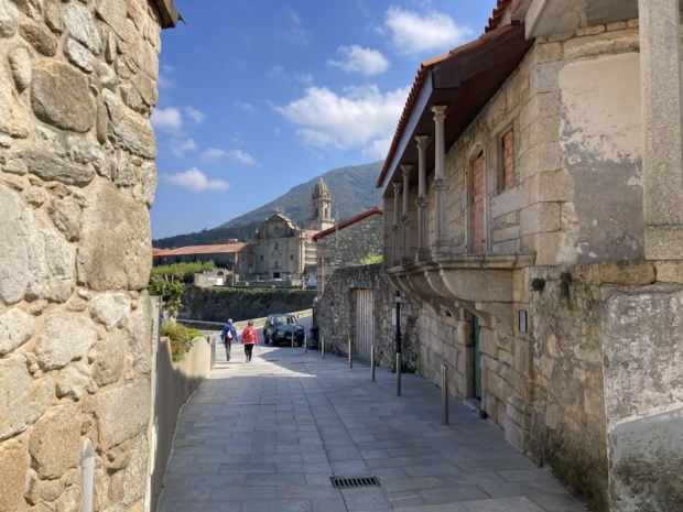
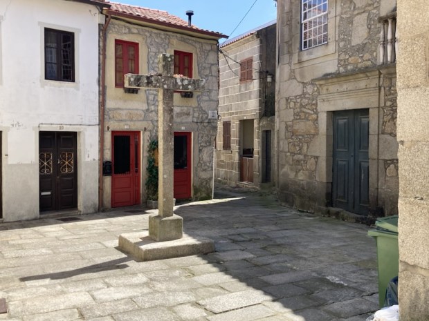
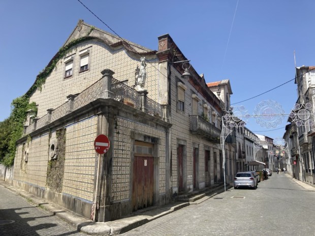
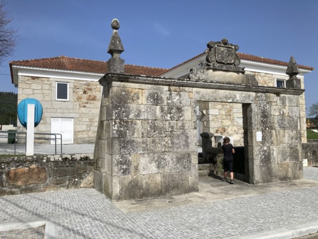
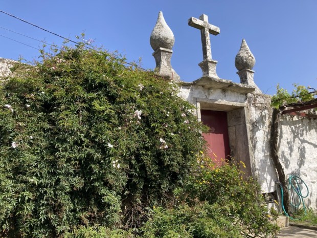
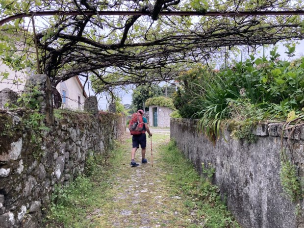
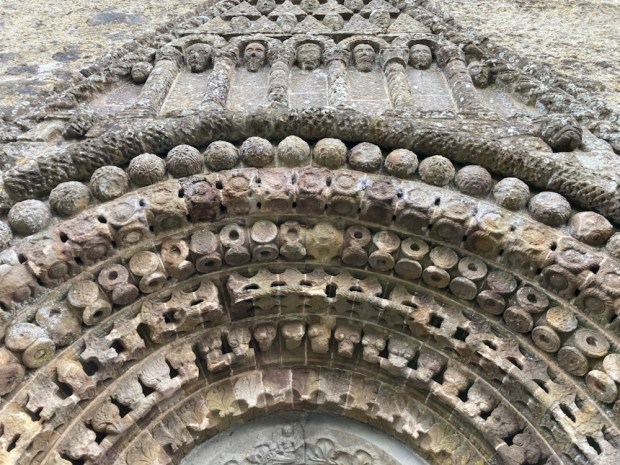
Continuing on towards Baiona we passed a lovingly crafted 1940 faux castle tower with a fuente inside and in the plaza where we finally got a coffee, the Baroque Capela de Santa Liberata and the older 12 c church of Santa Maria.

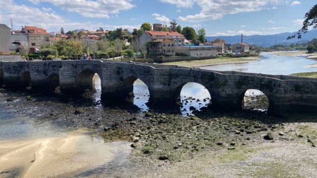
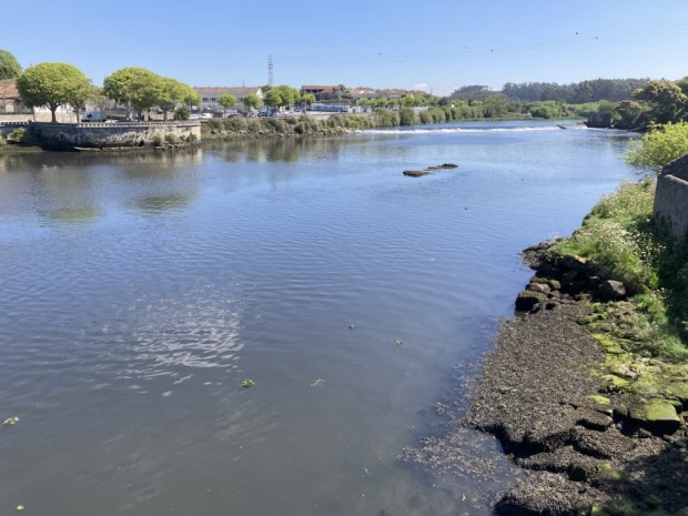
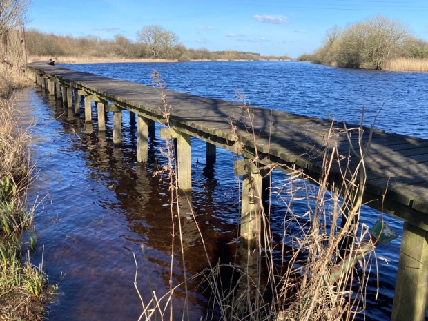
Then through the historical quarter to the shore and ,following a cycle and walkway around it, soon reached the river Minor and crossed it on the beautiful Ponte da Ramallosa guarded by San Telmo, the patron saint of sailers.

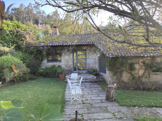
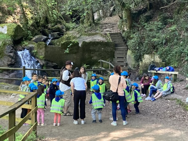
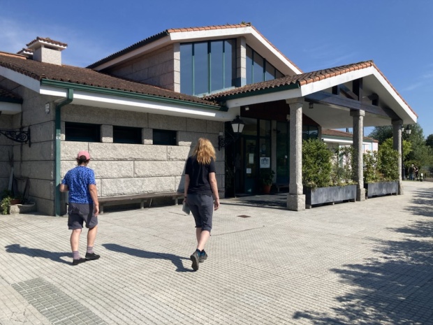
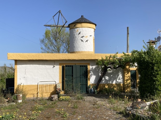
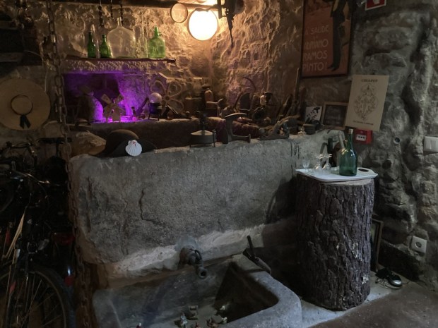
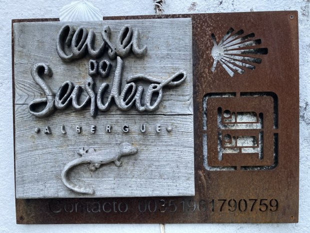
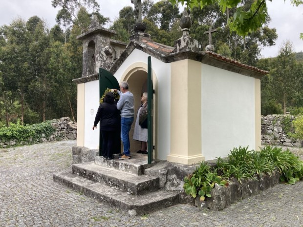
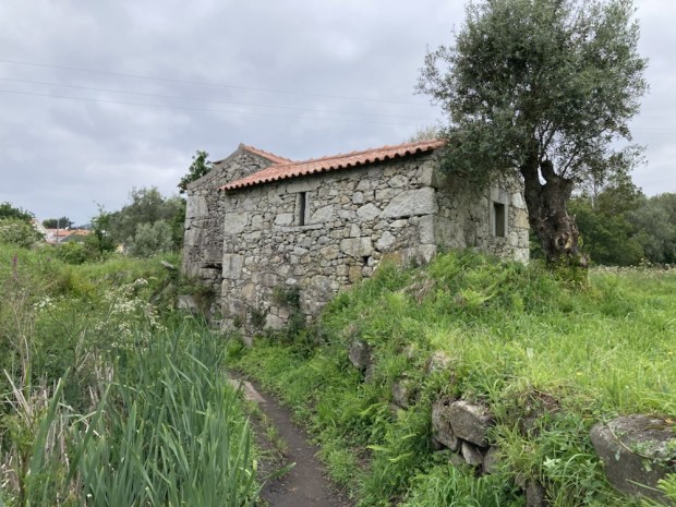
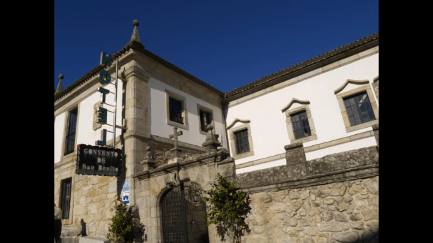
A short climb past bars and restaurants to explore later lay our goal, the Hospederia Pazo Pias, where €15 secured a bed in a 17th century palace set in lovely grounds.

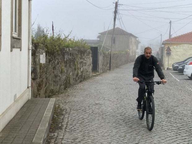
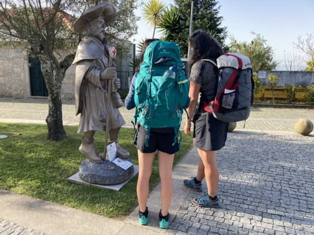
Gotta look after the pilgrims.

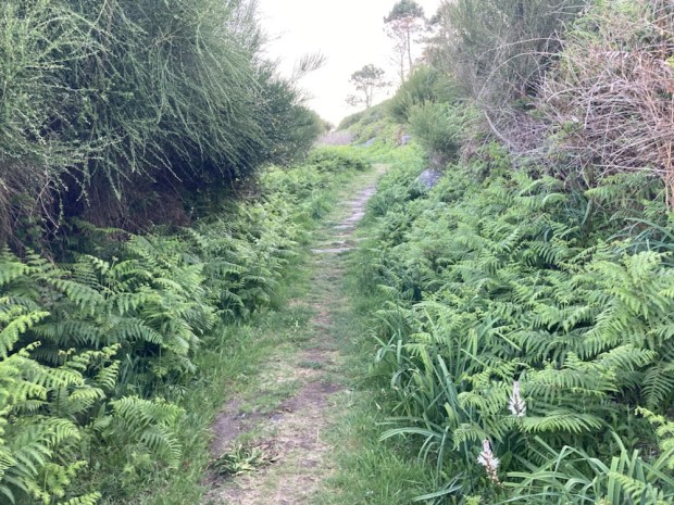
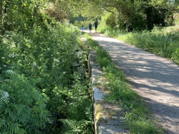
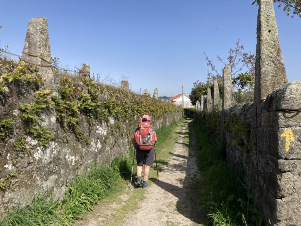
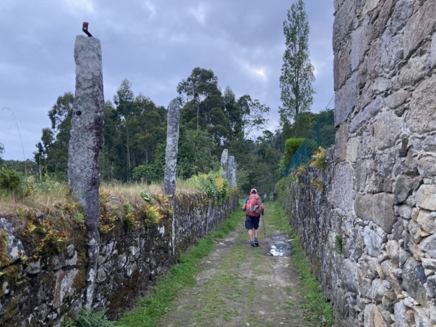
Pilgrims familiar from the night before joined us but we lost them again the next day when we decided to take another variant. This one avoided a lot of the suburban sprawl of Vigo, instead adding 2.5 km overall, but with an earlier finish for the day after 16 km or so. The start was a mix of urban and rural lanes and streets and woodland paths and tumbling streams.

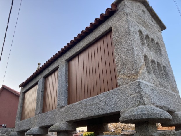
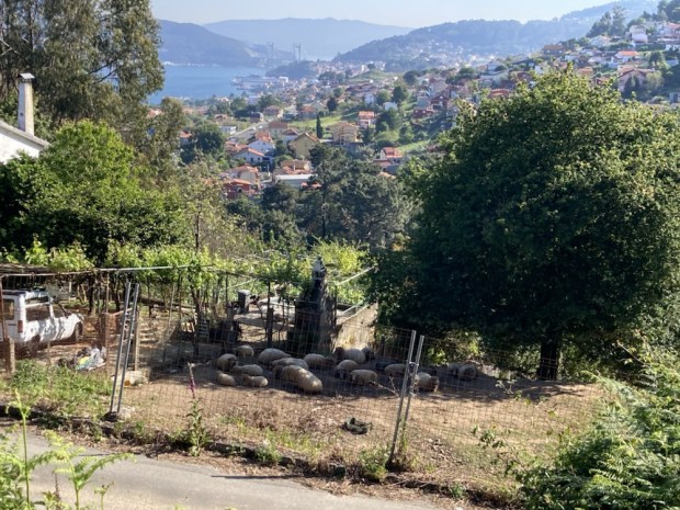
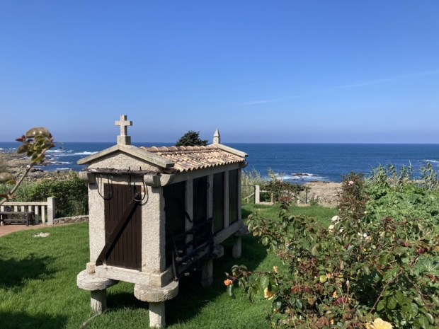
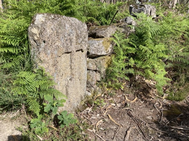
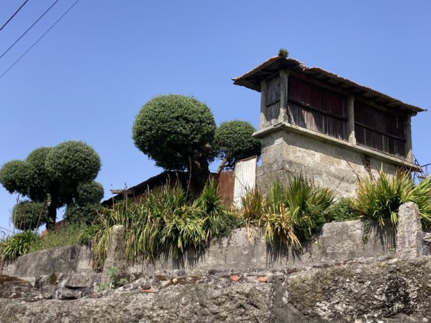
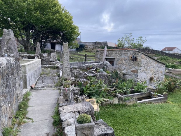
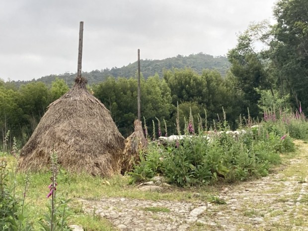
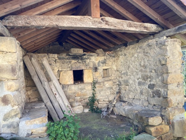
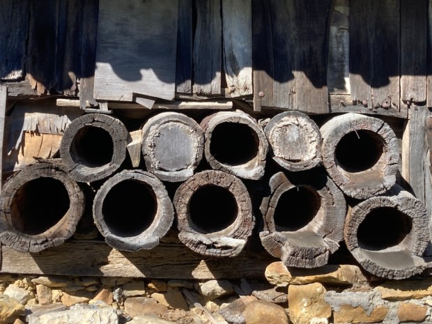
There were lots of grand old houses indicating great wealth in the area and a fine selection of horreo, the traditional grain stores, wash houses and veg gardens.

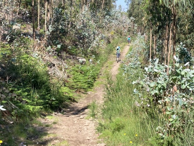
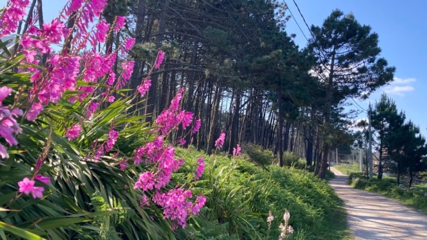
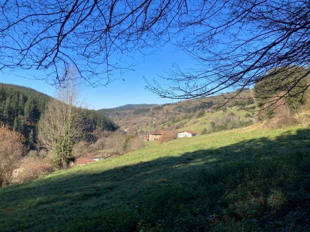
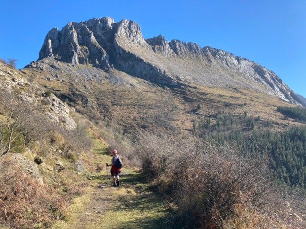
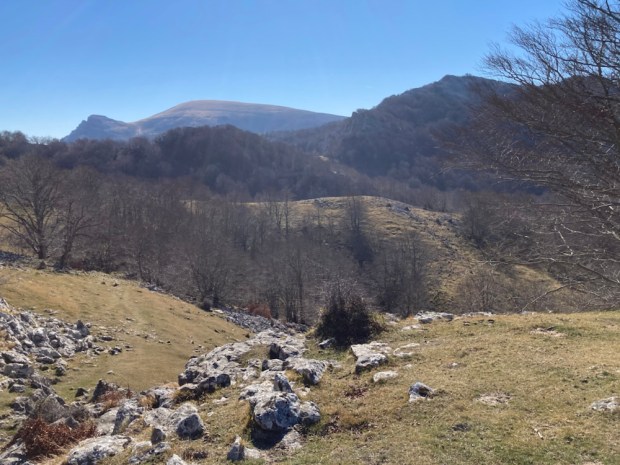
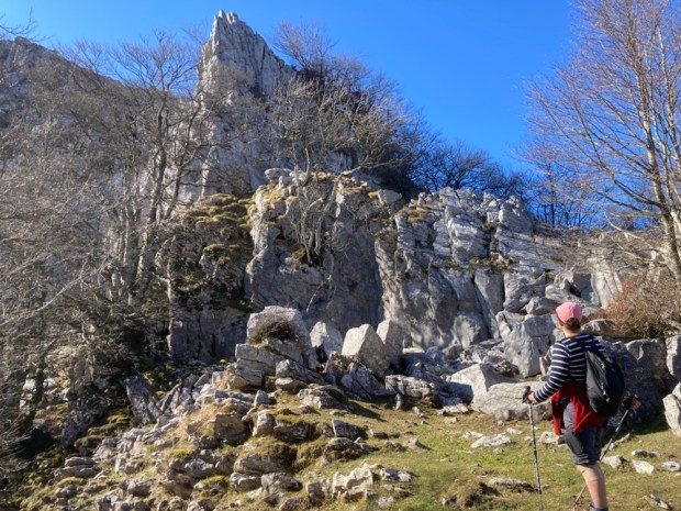
A lovely stretch of stone paved woodland took us up to views over the Baiona and Vigo coast and the Cies islands. By coffee time we’d reached Priegue, stopping for refreshment before heading up into the forest again.

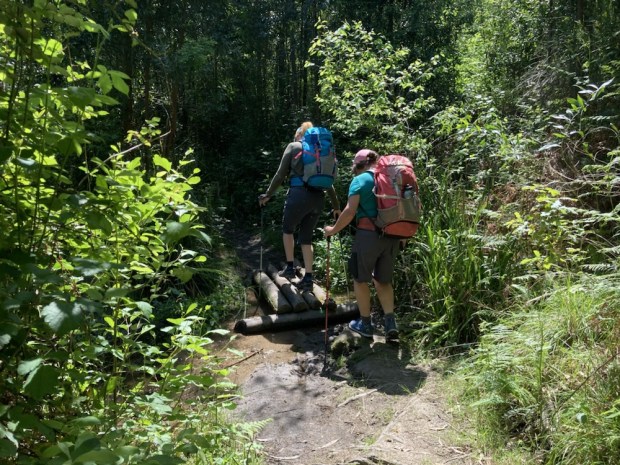
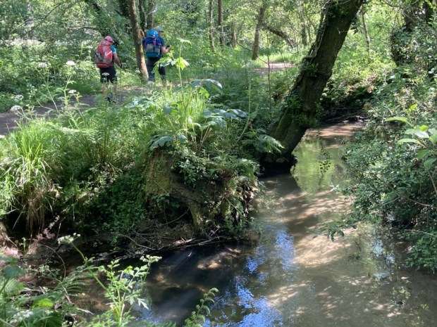
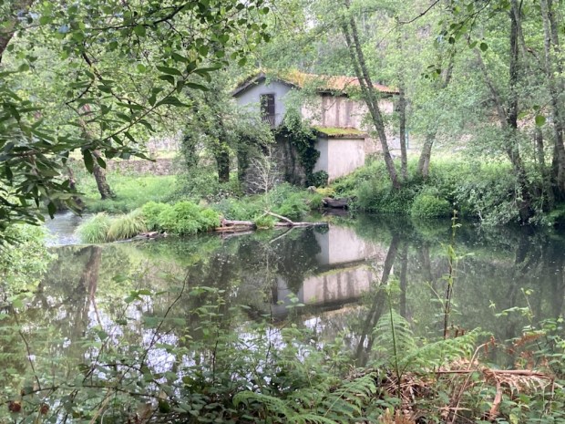
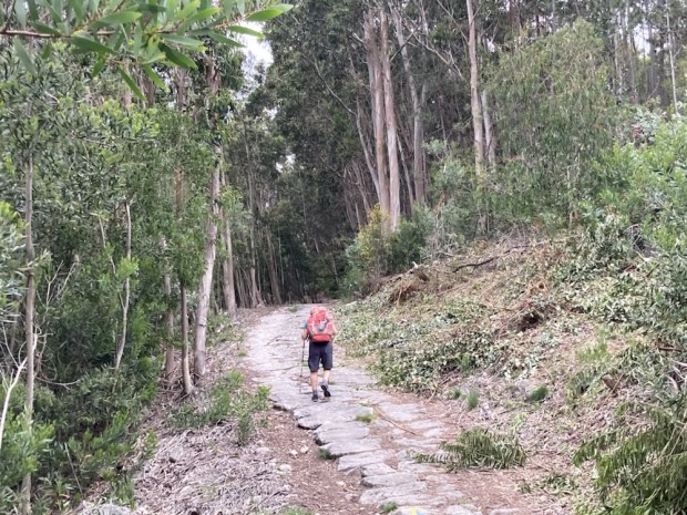
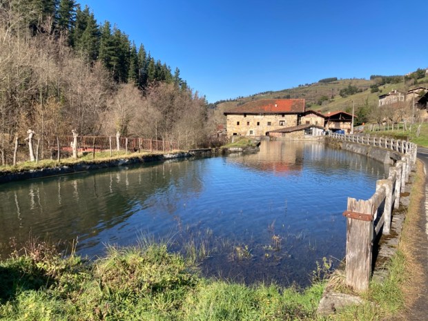
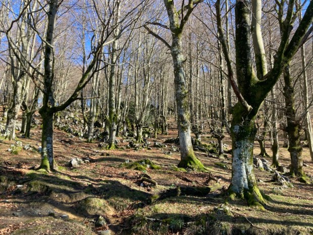
We had decided to stay at the Albergue O Freixo which meant leaving the main path and hiking another 5 km through the forest mostly on a trail that led past numerous old water mills and a couple of speeding bikers. Very beautiful and peaceful we stopped for a long rest amongst the towering eucalyptus.

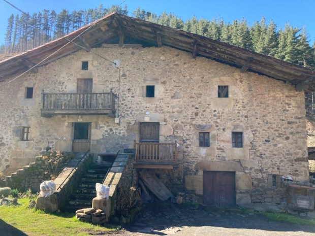
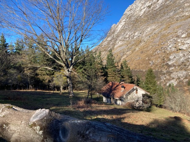
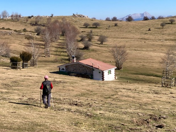
Emerging from the greenery an open landscape of rocky ground and forest lay ahead. Hoping for the Albergue to come into view we were arrowed up and up and finally, gratefully, we arrived- at the same time as Angie, who, with the help of google translate, looked after us well.

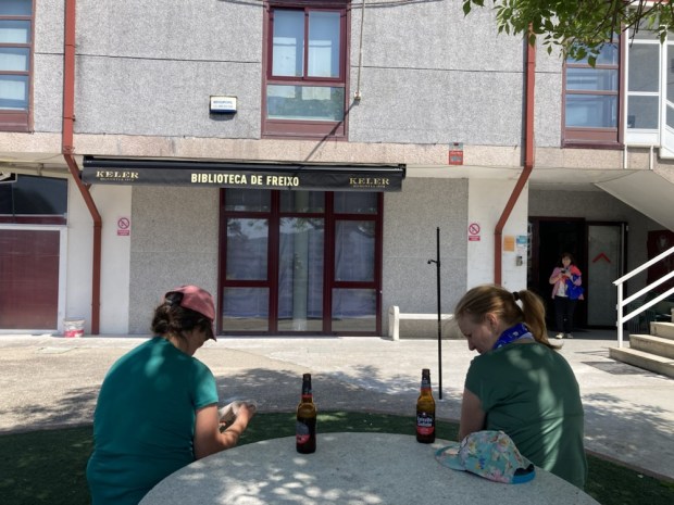
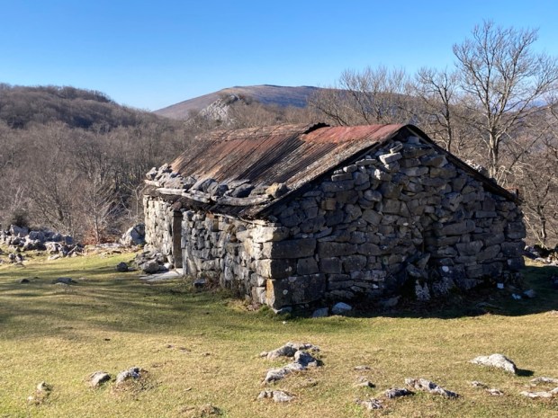
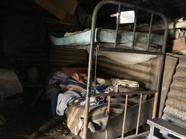
The Albergue was also a thriving community centre with function room and fully equipped kitchen we could use to cook our dinner. There was also a community run bar which came in very handy and evening classes in Pilates and ,weirdly, bagpipe and drumming combo which didn’t come in quite so handy as the pipes and drums started just before bed time. They also prevented Austrian pilgrim Manfred from using a mattress in the classroom so as to spare us his monstrous snoring. So late that night the three of us in turn abandoned the dorm and transferred to the classroom- now only disturbed by the carousing of the community drinkers till the early hours.

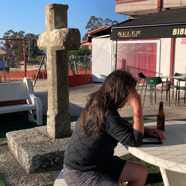
With a biggish hike of 23/24km ahead in the morning we set off early and a bit bleary after a disturbed night. Down and down into the big city of Vigo as the lights went out and the sun came up.

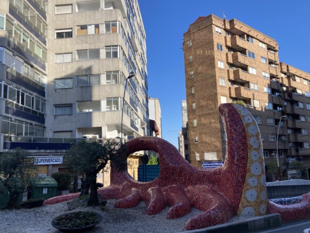
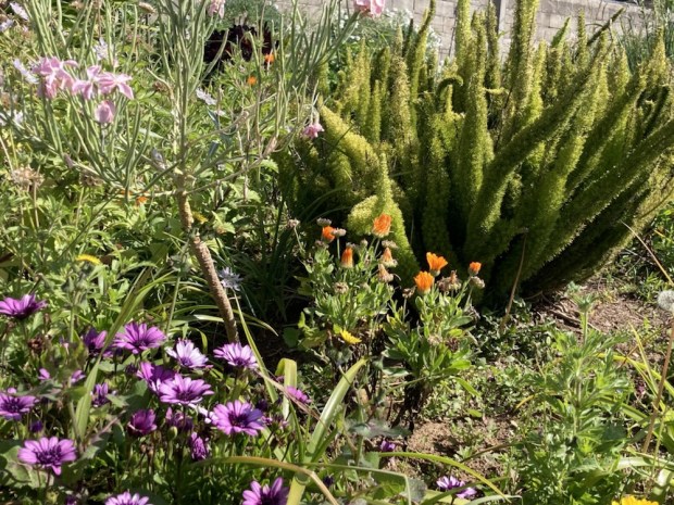
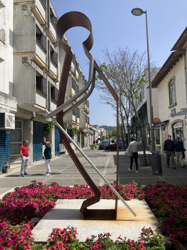
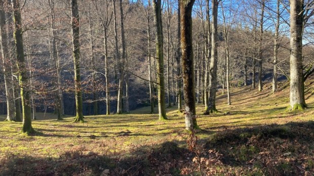
The walk through the city was much more pleasant than we had feared, going through wooded parks and along riverside trails. Even close to the city centre there seemed room for gardens. And art.

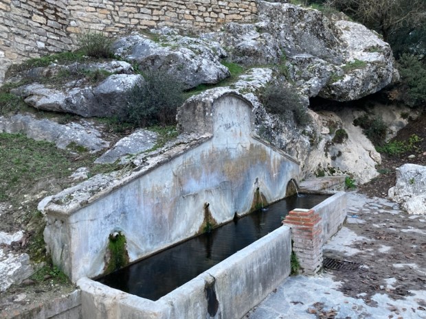
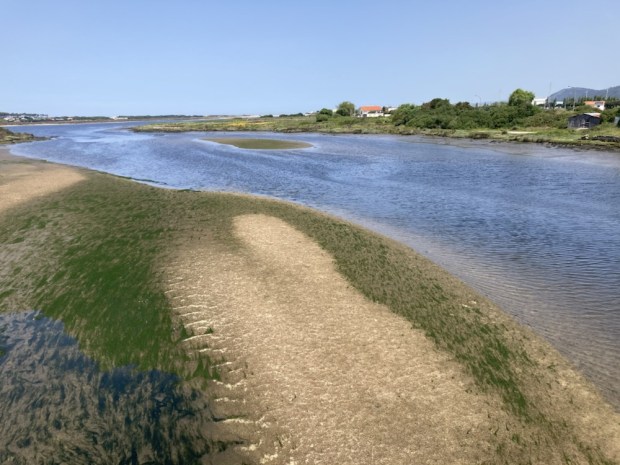
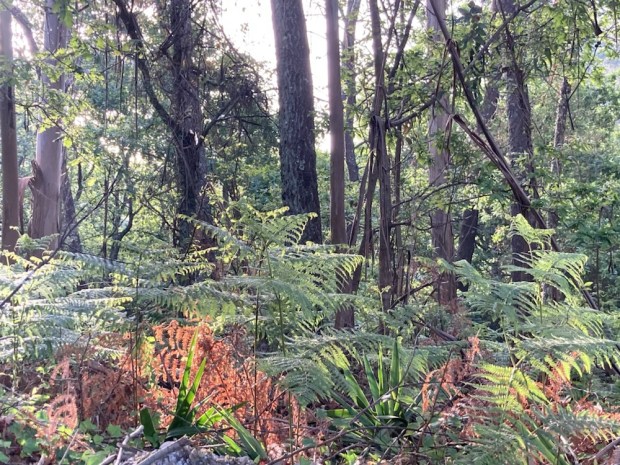
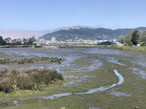
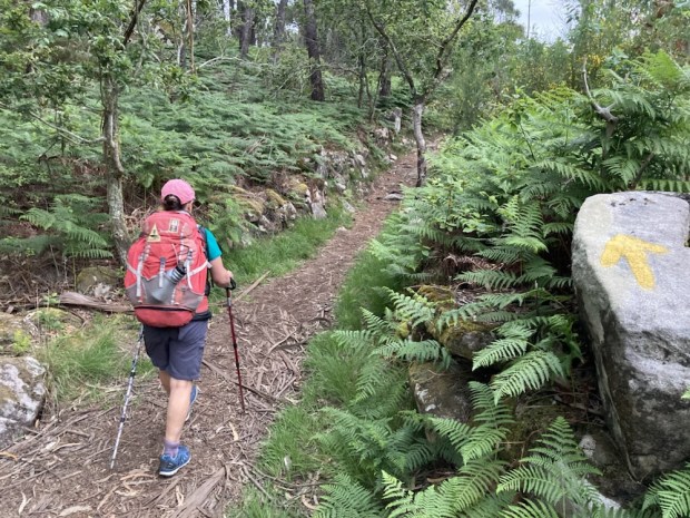
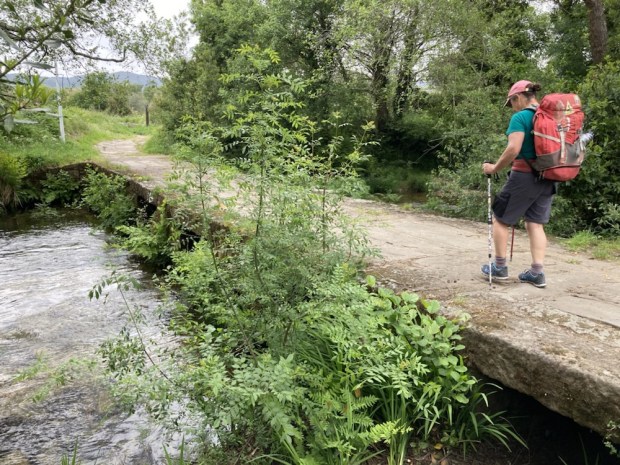
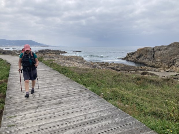
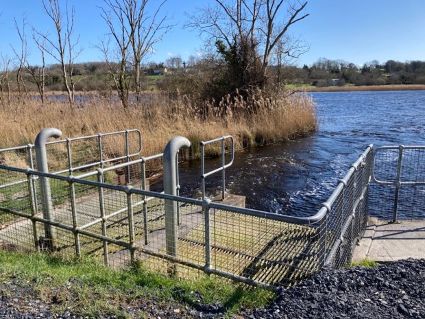
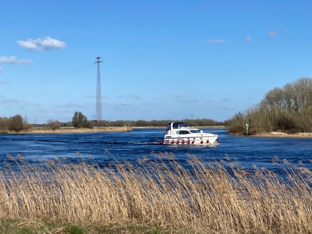
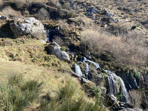
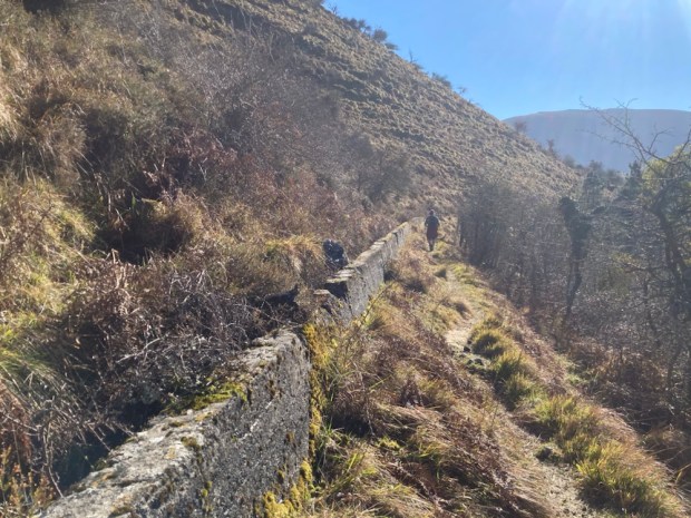
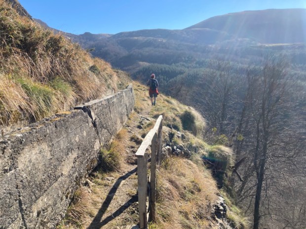
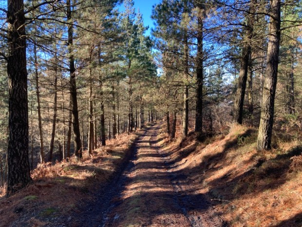
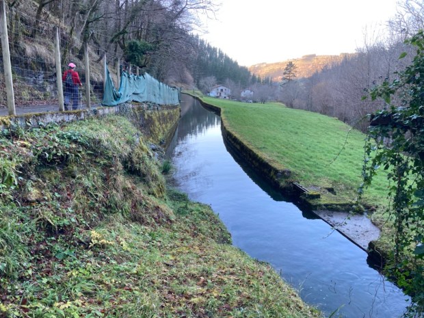
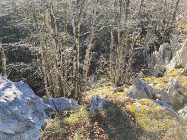
On the north side we joined a route called the Senda da Auga that runs for 10 km beside a covered pipe taking water from the mountains to Vigo. Tarmac road to begin, with gorgeous views down the estuary to the sea, and then lovely shady woodland path with waterfalls and fountains. We passed and we’re passed by plenty peregrinos- so different to the empty Mozarabe route.

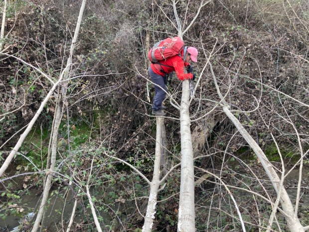
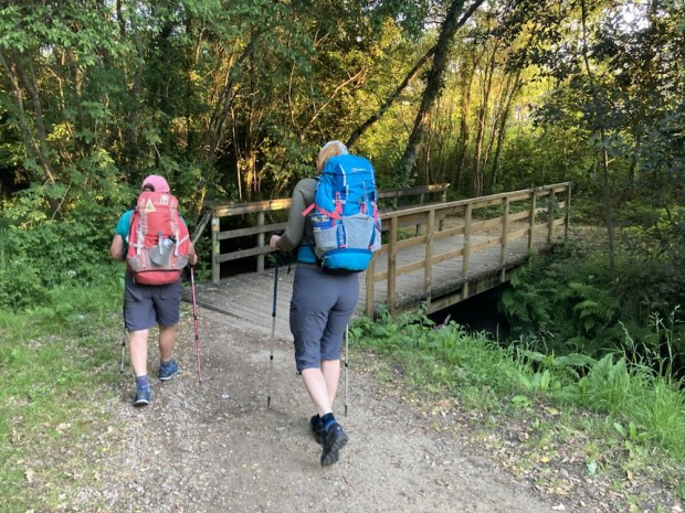
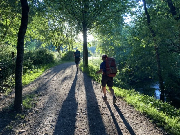
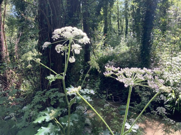
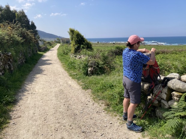
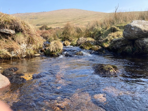
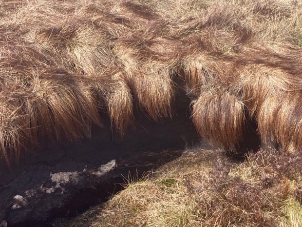
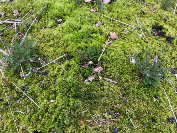
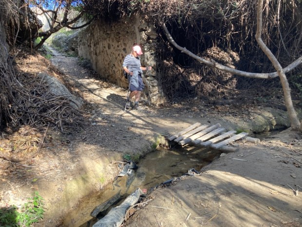
Emma listening for water, unsuccessfully.

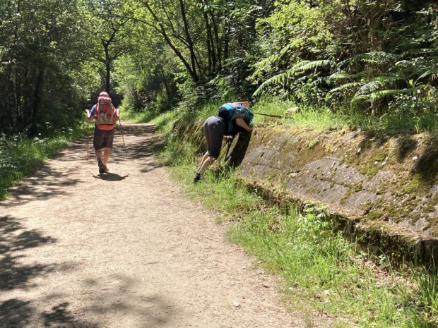
At the end of the Senda it was a short 2.8 km to our bed in Redondela, housed in a beautiful old stone building nicely renovated into a municipal Albergue where the usual registration, shower, bed making, rest ritual was followed by the usual eating and drinking and more resting ritual.

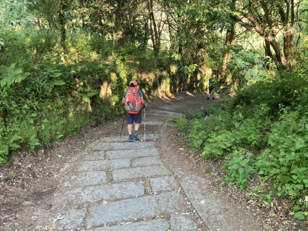
A quieter night, an early rise, a chilly start- through the mix of old and new on the way out of town. Memorials, sculpture, gardeners, a stretch of busy main road, a climb through woods, and when needed, a funky cafe/ albergue for cafe and tostada.

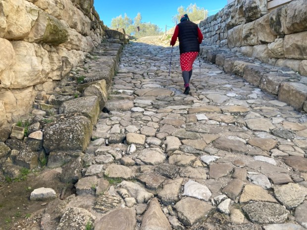
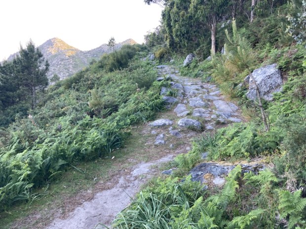
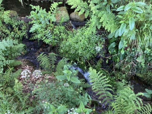
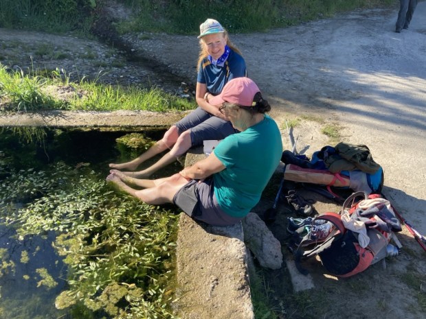
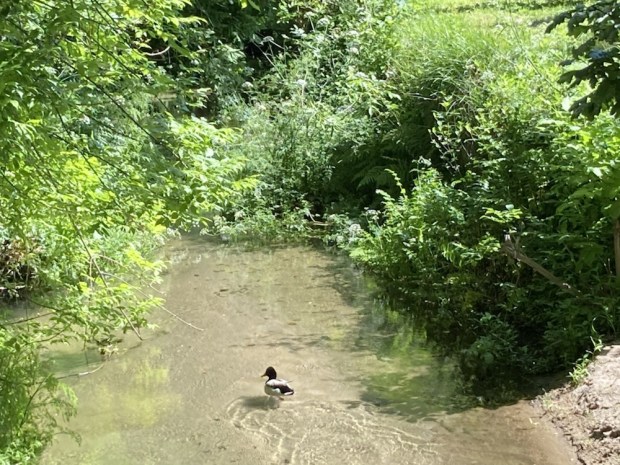
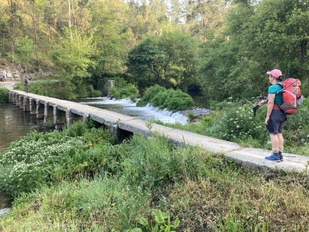
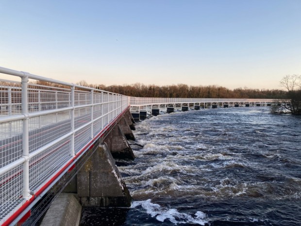
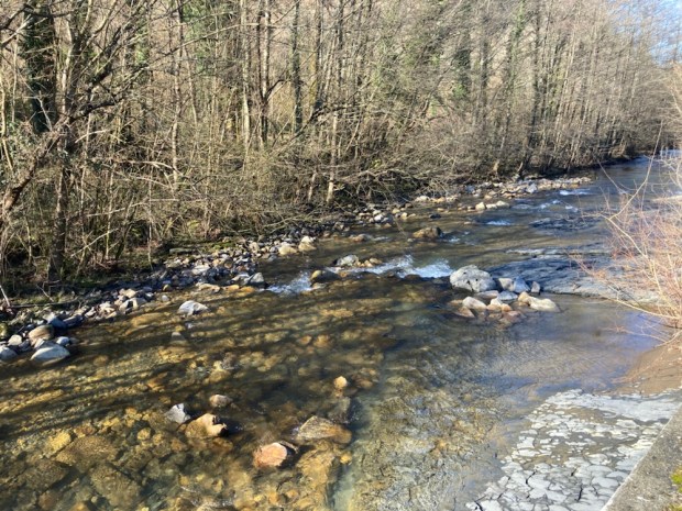
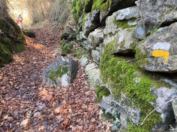
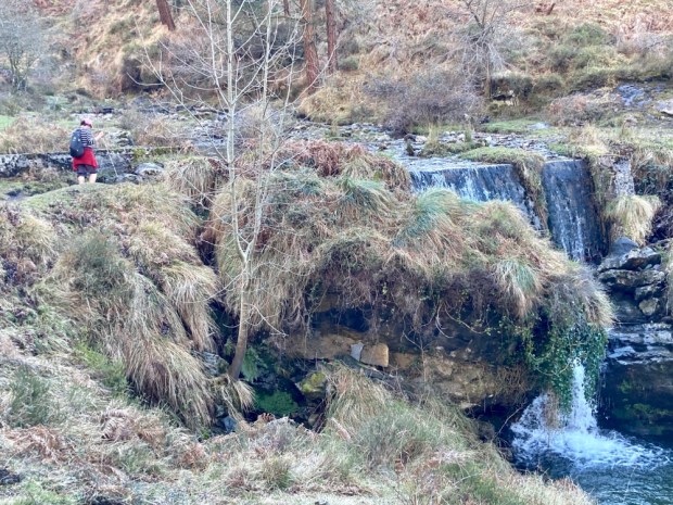
From the cafe in Arcade we crossed the river Verdugo on the Ponte Sampaio and climbed again on ancient wheel rutted stone tracks through the forest and down through fields and vineyards, stopping for rest and chocolate by a feet soothing frog pool.

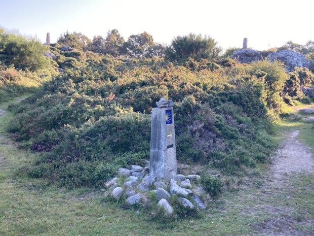
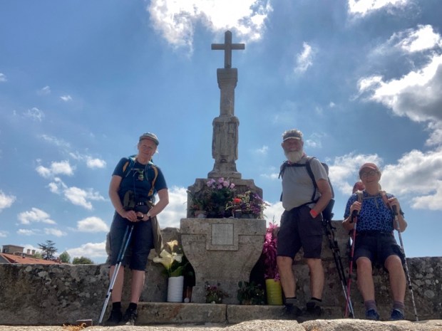
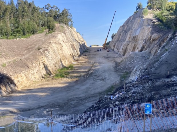
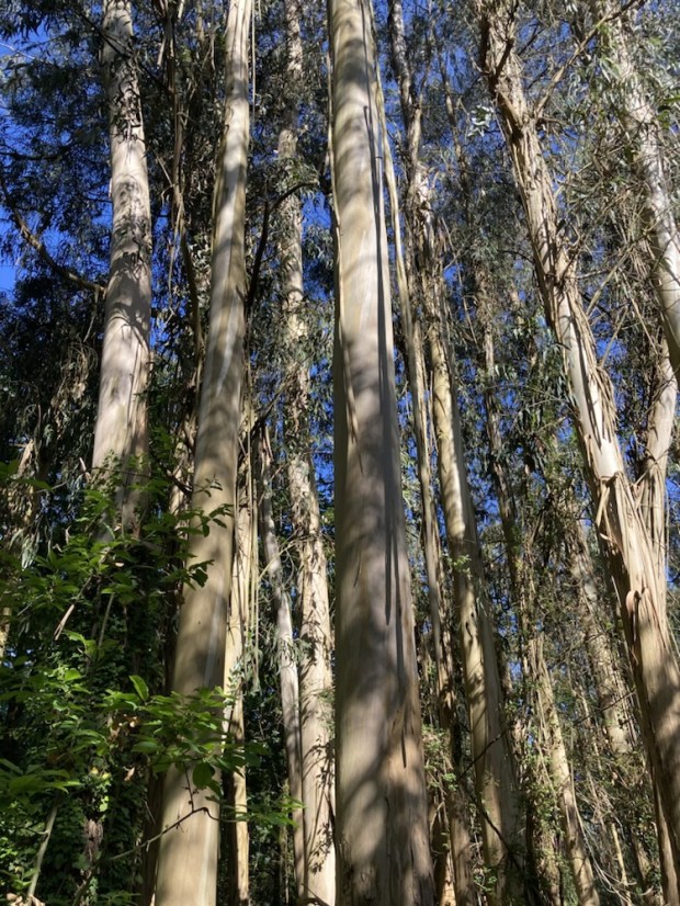
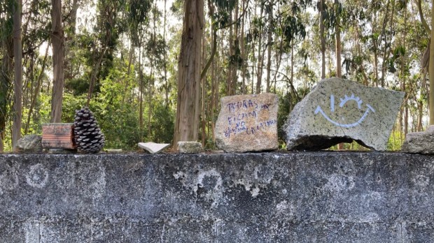
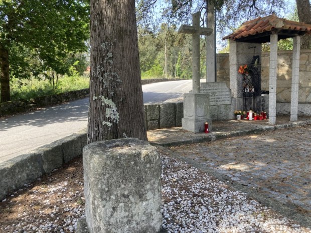
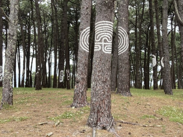
We were briefly diverted when crossing a new road construction, and then brought down through another section of towering eucalyptus forest to the Capela de Santa Marta where we gathered another stamp in our pilgrim passports.

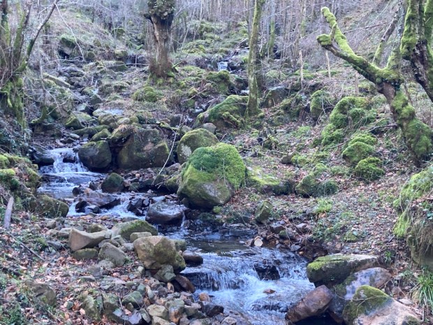
A short distance further on was a split in the trail- the shorter by a km and with a cafe was beside a busy road, the longer was a peaceful 4 km stretch beside a tranquil stream. Although we had already decided on the river walk a postman stopped at the junction and proclaimed the virtues of the ” tranquilo” route to us. We had come together with the more popular Central route of the Portuguese Camino back in Rodondela and the Way was busy with peregrinos but many were chilling beside the shady stream.

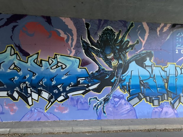
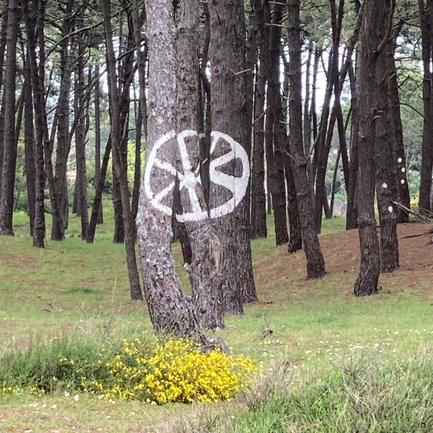
Leaving the woods and water we went under the highway passing more graffiti and under the railway to arrive, after 19 km, at the Pontevedra albergue just as it opened, where a very stern and officious man had us all filling the dorm in order- top and bottom bunks- no anarchic freeform. Ah well, you’d put up with it for an €8 bed for the night.

And Emma’s won the prize bonds so big dinner tonight!

CAMINO PORTUGUESE: Coastal and Spiritual Routes: Part 2

A Guarda to Mougás : 1 day: 20.5 km

Leaving Sally to nurse her feet and catch a later bus I braved the steps ( easy enough first thing) and wove my way past the church of Santa Maria and fading buildings on back streets that led me down to the wild and rocky coast and a charming path north.

It was all very much like a sunny south Connemara with tiny strips of land separated by granite stone walls. After a while I had to leave the coast and climb up to join a sandy track that led to the main road and a yellow strip of cycleway I had to suffer for a while on and off as it alternated with dirt tracks lined with enough broom to ward off any lingering evil.

Luckily coffee time coincided with passing a little bijou cliff top test stop before carrying on caffeine charged through lovely pine woods to the rock petroglyphs that I couldn’t really make out.

The variety of little personal spaces along the sandy tracks was entertaining. Although a few lucky soles had somehow secured permission to build houses most were happy with just garden spaces or cabins/huts/ or boats! And some were ringed by solid granite walls of monumental proportions.

And the variety of track also made up for some stretches of yellow cycle way.

On the approach to Oia I passed the little chapel of San Sebastián and shortly after the massive bulk of the monastery of Santa Maria. Sally had seen me from the passing bus and decided to join me for the last few Km so we continued together through Spanish Connemara.

The last leg of the day continued on by the sea before a little detour inland where we passed a pile of stones celebrating the peregrinos.

21km from my bed in the Convent we arrived at my bed in the Albergue. A different class of accommodation to be sure but a pilgrims way is varied.

And our friend Emma had joined us from Ireland.

CAMINO PORTUGUESE: Coastal and Spiritual Routes : Part 1

PORTO to SPAIN : 4 days: 90 km

Emerging from the airport at midnight we only had a few minutes walk to a modern little boutique hostal where free beers awaited in our room. No sooner drunk than a knock at the door bought glasses of pink sparkling wine and cake, and at 6.30 in the morning a breakfast hamper of all we could wish for.

A few meters around the corner we came upon our first yellow arrow of our journey in prosaic form. A painless start from plane to path- we were off down the still misty cobbled streets, past crosses and shrines and gardens and verges rich with the colours and scents of flowers wild and cultivated.

We kept crossing paths with Michael, a German Pilgrim of our vintage who we bonded with over the next few days before our schedule pulled us ahead. After nearly an hour we cleared the end of the runway and the sun burnt off the mist as we followed miles of cobbled road through eucalyptus forest and freshly cut fields of grass. Running alongside the busy motorway and shopping centre for awhile we were glad to return to the ancient streets of Mindelo. Stopping briefly for a tiny super strong cafe and local treat pastel de nata, it wasn’t long before we were crossing the river Ave into Vila do Conde beside the massive monastery of Santa Clara.

Another hour of urban walking brought us finally to our destination for the day after 20 km, the albuergue in Povoa de Varzim where the cafe opposite fed us well while we waited for the albuergue opening hour of 2 o’clock. The obliging host gave us a private room as a married couple- a first for us. We rested, showered, laundered and eat and drank in a sunny beach side restaurant pleased to have succeeded the first day at least.

In the early morning light we headed off along the seafront and onto a boardwalk that took us through the dunes for 8 km. The seaside resorts had not really awoken after winter yet so pilgrims, locals and fisherman were all that were about. Many men were fishing for something on the rocks and in the shallows with gaffhooks , something I had never seen before. It didn’t look like they were having much luck. We passed the remnants of windmills and many neatly stacked and covered piles of seaweed.

Eventually the thousands of decking boards ran out and we were led inland through an area of intensive poly tunnels and fields of crops, all of interest to us gardeners. They were harvesting spuds already!

Through a nice quiet stretch of woodland where we rested for breakfast and on into Fao where pilgrims gathered. We followed the arrows cut into the road over the river Cavado and along the prom in Esposende, a busy town rich in pilgrim sculptures.

Nearly 25 km done, under a hot sun on a lot of hard cobbles, we were getting weary and stopped at a mini market for beers and the makings of breakfast and lunch. A thankfully short distance later we arrived at our Albergue for the night in Marinhas, housed in a beautiful old building, where the shower, rest, drink, eat , sleep regime was a welcome end to the day.

A lot of movement early as some pilgrims were up before 5 making bedtime redundant, so we were out the door before 6.30 heading up more cobbled back streets past the now common mix of traditional and ultramodern homes and well kept veggie gardens. Out of town we began our first real track, a lovely stretch through woodland alongside the river Nieva complete with watermills and an ancient clapper bridge. Many feet had passed over it through the ages.

Our first climb, of about 100m, took us up out of the woodland on wisteria lined narrow cobbled tracks between fine granite walls to the church of Santiago de Castelo do Nieiva, the oldest church outside of Spain dedicated to the Man, with a carved dedication from 862ad. Stopping awhile for a rest and chocolate/ banana breakfast we were soon back on a lovely sandy track through the young oak and unstoppable eucalyptus.

Down into Chafe for coffee and Coke and on over more granite cobbles along more narrow lanes past large ancient houses then steeply up past stone and timber corn houses and decorated washhouse to hilltop shrine and cross.

With Viana do Castelo in view on the other side of the wide river Lima we descended steeply on road and track festooned with wild flowers and crossed the bridge built by Eifflel in 1878 to reach the city where, with over 20 km done and another 10 km to do before our beds, and Sallys feet ailing bad, we did the right thing and caught a bus.

20 minutes bus ride saved us 2 or 3 hours of walk and Sally a lot of pain. Alighting in Carreco we had a beer whilst waiting for the mini market to open then continued to the joyously beautiful Casa do Sardao Albergue, a funky and lovingly restored and converted family farmhouse. The place hummed with good vibes and architectural integrity. The friendly owner showed us proudly around with stories of generations past. I wish I’d taken more pictures. A gem.

A good nights sleep but we were up early under the flashing of the lighthouse on the coast to take the tea before once again setting off on granite cobbled lanes between granite cobbled walls. I don’t know if the plant life is particularly rich here or if the granite is a very hospitable environment but it was a joy to have so much at head height.

We were soon led into the forest on massive granite slab paving where countless thousands of pilgrim feet have trod, passing the very many pillars and crosses where pilgrim hands have placed offerings.

We passed the beautiful but forlorn Quinta de Cabanas, home to the poet Pedro Homem do Melo as well as a huge 280 yr old magnolia tree and site of a monastery since 564AD. Restoration and landscaping is in progress around the huge riverside complex and it will be rewarded. The path took us away up through the wool bombed forest to reach the little chapel of Our Lady of Amparo where the guardian family were deliberating the best placement of the May Day wreath of yellow broom.

The ancient ritual of Maias in Portugal sees people gathering broom flowers on April 30th to adorn their gates and doors before midnight, to protect from evil for the coming year. Nowadays even machinery and vehicles are likely to be fortified in this way, although I was surprised that super safe Volvo needed it.

After another peaceful stretch of forest on a wide cobble road we descended quite steeply towards the coast, crossing the river Ancora on the medieval stone slab Ponte da Torre and passing another old water mill.

The seaside resort itself was buzzing with Mayday celebrations and markets. After coffee in the square I headed on out of town on a dirt track beside the railway, waving as the train past expecting to see sore feet Sally on board. (But she hadn’t found the station and had hitched- getting dropped off far further than wanted and had to hike back to meet me.)

On reaching the crescent beach in Moledo I followed the esplanade till the end and continued on soft sandy tracks through the forest to the Boat Taxi across the broad river Minho where Sally joined me for the ride to Spain.

Jumping from the speed boat onto the sands of Spain we lost an hour so had a quick lunch and carried on to A Guarda on the boardwalk, through the gallery forest and beside the rocky shore, to finally reach the harbour town bathed in sunshine rising up steeply from the sea. The sight of a long steep flight of steps was enough to convince us that a stay in the converted 16th century convent at the bottom was a well deserved treat after 3 nights in dorms.

We’d made it to Spain.

COMERAGH MOUNTAINS: The Nire Valley Coums

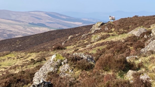
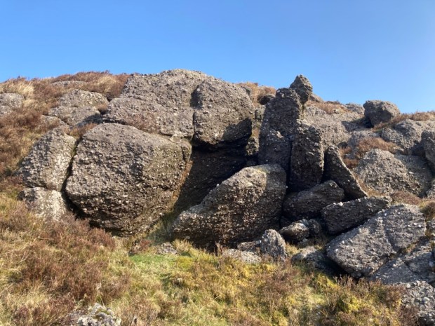
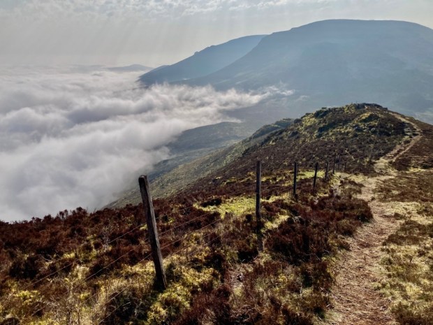
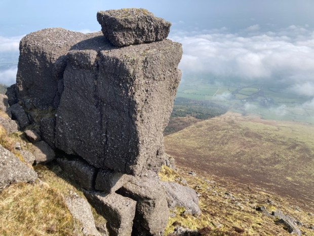
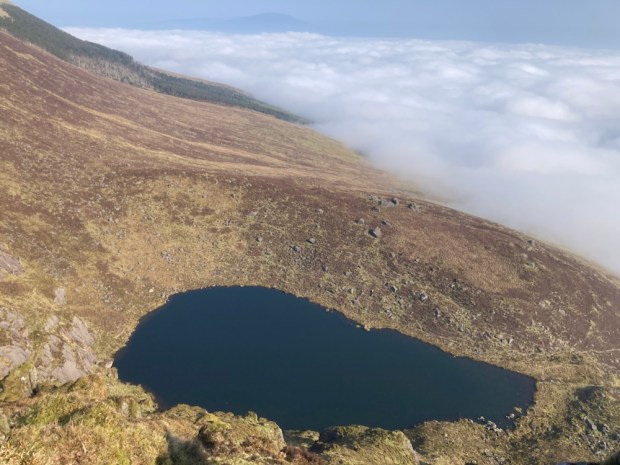
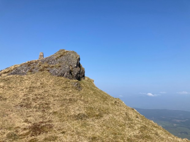
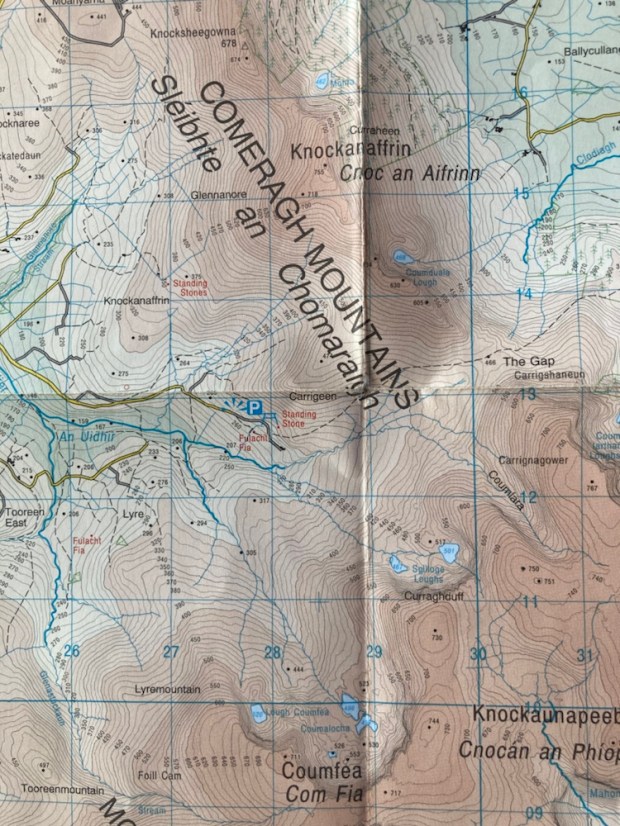
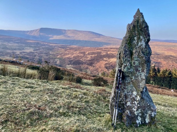
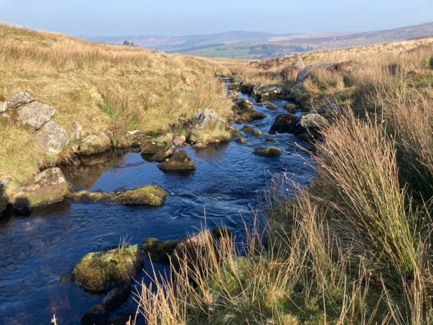
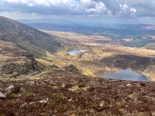
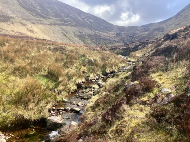
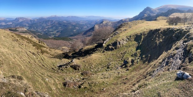
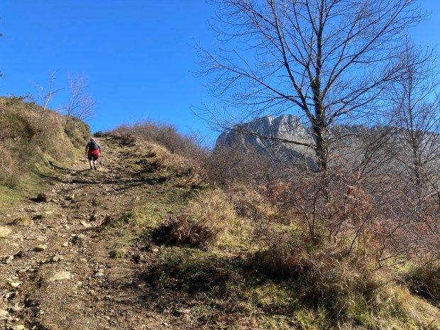
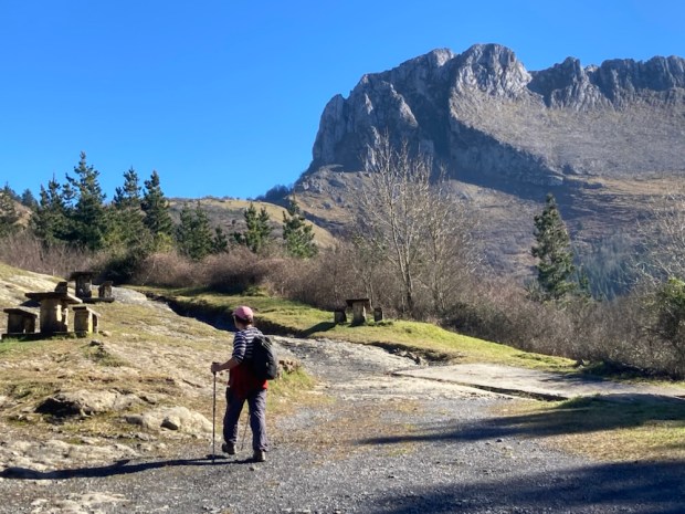
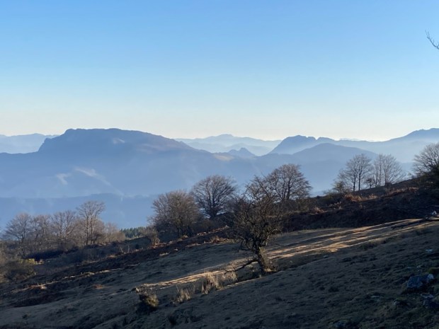
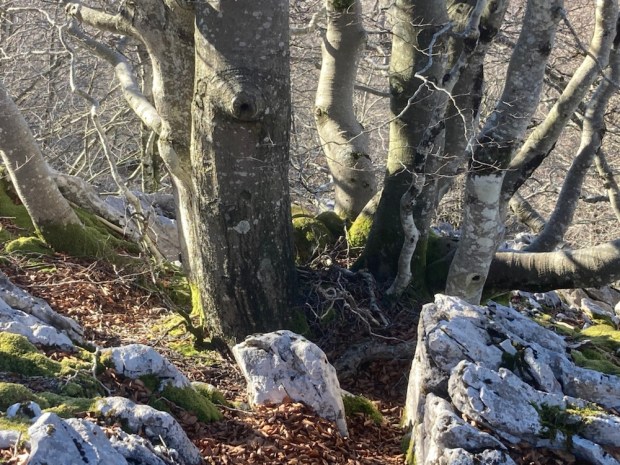
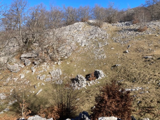
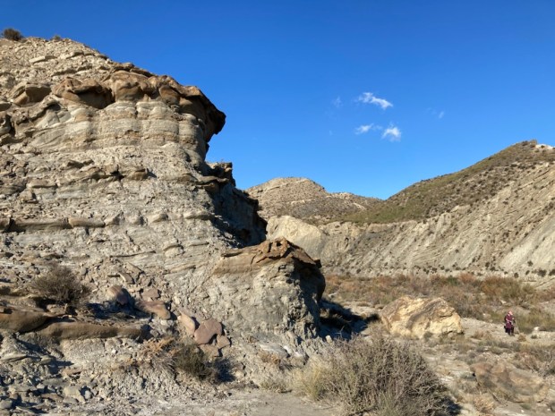
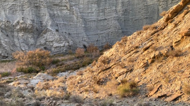
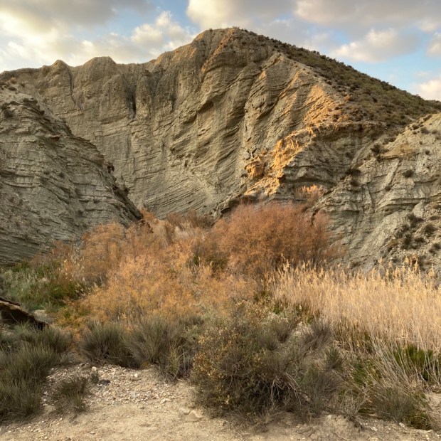
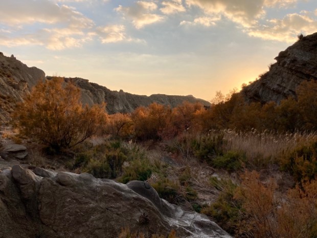
Just south of Clonmel you leave Tipperary and enter Waterford and the ground before you rises up into one of the most beguiling mountain ranges in Ireland, the Comeraghs ( from Cumarach- full of hollows). Named after the glacial coums or corries nestled into the sheltering arcs of towering cliffs of old red sandstone, their drama has drawn walkers for a long time and I’d been trying to get into them for years. With the dry and sunny weather due to end soon I took off for a couple of days exploration.

Arriving after dark in the Nire Valley car park it wasn’t till the morning that I could appreciate my surroundings, at the head of a peaceful and deeply rural wooded river valley with the massed bulk of the central plateau before me to the south.

The map board indicated a number of colour coded loops which I would incorporate into longer more demanding hikes. First up I followed the white marker posts through the heather on the trail to The Gap, spooking grazing sheep as I went.

This has been a route over the mountains for centuries and was known as Boithrin na Sochraide, the Funeral Road, and was used up till 1926 for transporting coffins 6 miles east to Rathgormack as the Nire valley had no graveyard. Some of the large boulders on the way were known as places to set the coffins down in order to rest. It had also been engineered into a famine relief road in the mid 18th century. This catastrophe, caused by extremely cold and dry weather, resulted in failure of grain and potatoes and a greater loss of life, proportionately, than the Great Famine a century later. 1741 was known as Bliain an Air, the Year of Slaughter.

I past a lot of burnt ground, the setting of fires was a frequent and dangerous occurrence in the hills to increase grass cover, and the dry conditions rendered the boardwalks obsolete. As I approached the Gap I thought perhaps there was billowing smoke advancing but I discovered that it was the whispy edge of a thick blanket of cloud on the eastern side of the ridge.

From the Gap I turned left to follow the Seven Sisters ridge to the summit of Knockanaffrin at 755m. The steep linear arête is a separate northern protrusion to rest of the range and the precipitous drop to the east would have given me views to the Blackstairs and Wicklow mountains were it not for the cloud and haze. Occasional lumps of quartzite sparkled in the sun but most of the lumpen rock sculptures teetering on the edge of the cliffs were a coarse conglomerate.

My first corrie, Coumduala, and its lough revealed itself hundreds of meters below as I moved up to reach the little cairn marking the summit of Knockanaffrin, the Hill of the Mass, although it’s an unlikely setting for Mass even in penal times.

Onwards to the next peak, of Knocksheegowna, past Lough Mohra and the tiny figures walking towards it on loops from Glenpatrick forest. From the trig point I headed down south east across the broad expanse of mountain past a series of sheep pens to reach the stream and track that took me back past ancient homesteads to the road that led to the car park with the sun setting on the Nire Valley.

Next morning I was off early to undertake one of the classic walks of this region- the circuit of the Nire/Nier Valley Coums. The river, which seemed to be spelt both ways, gathers together from tributaries emerging out of half a dozen corrie lakes and this route would take me on a sweeping arc around the plateau high above them.

( Apologies to OSI for flagrant breach of copy-write)

Setting off down the farm track from the parkup I went to admire a tall standing stone before continuing down to ford the river and begin the climb through boggy and tussocky ground to gain the broad western shoulder of Coumfea.

There were many streams to cross and many remnants of sheep that died of unknown causes, another reminder in the pleasant sunshine of how tough things here can be. As I gained altitude Lough Coumlea came into view enclosed by the tiered cliffs.

At last on the easy bit, I had only to follow the tracks of quad and sheep around the corrie rim, atop the precipitous cliffs and through eroded turf hags admiring the necklace of dark Coum pools far beneath.

Passing Coumalocha I continued north around the rim over Curraghduff above the Spilloge Loughs where I had to cross the stream that tumbled over the cliff. In winter the winds are reputed to blow the water back up over the cliffs to freeze into bizarre formations on the rocks and vegetation. Contouring around the mountain I turned into the ” blind” coum of Coumlara, without a lake, and I clambered down to meet the stream that becomes the Nire.

Now down onto one of the waymarked loops I had only to follow it back through the heather, on boardwalks through boggy ground and over a wooden bridge above the nascent Nire to return to the camper.

The final leg was shared with another couple and we talked of the great plumes of wildfire smoke we had seen to the north and watched as a helicopter beat back and forth across the mountains. On my drive out of the beautiful valley I met a flashing fire engine urgently rushing into the hills. The radio news also featured stories of hill fires in Cork, Kilkenny and Wexford. It’s time to hope for rain.

HYMANY WAY: River and Bog in the Hidden Heartlands

A gloriously dry and sunny St Patricks Day holiday weekend gave us the opportunity for our first long walks since being back in Ireland. We decided to keep it local(ish) and headed back to an area we know and love, starting our micro adventure by the motor cruisers in Portumna harbour and starting off on the Hymany Way.

The first 17km are atop the embankment that run along the western side of the Shannon, built by the ESB as part of their 1920’s Ardnacrusha hydro power station mega project.

” One of the finest pieces of working industrial archaeology in the country” the raised earthen bank protected the low lying land from flooding and water levels in the river were controlled by a series of 3 pumping stations taking water from the inner man made water course when needed. It makes for fine walking with views of the river and callows on one side and deeply rural farmland on the other. With no roads nearby the peace and quiet is tangible with only the occasional cruiser interrupting the birdsong and wind rustled reeds.

We stopped for lunch at a small copse of giant ash trees that were home to a large badger colony, some of whose tunnels disappeared into the bowels of the tree trunks.

The 90km Hymany Way from Portumna to Ballygar in East Galway is one of the 11 sections of the Beara- Breifne Way that runs 500km from West Cork to Leitrim roughly following the line of Donal Cam O’Sullivan Beare’s March in 1602. The two week retreat from hostile Anglo forces saw his party of 1000 soldier’s and camp followers reduced to just 35 by the time he got to his ally O’Rourkes castle in Leitrim.

When we got halfway to Meelick we stopped again, opposite Ballymacegan island where an old pier and abandoned riverside restaurant project at Esker Riada reminded us of camping here 25 years ago on a boating holiday. From here we returned to the camper, drove to Meelick and explored the newly restored Weir walkway.

Built to control water levels in 1840 the 300 m weir walkway had been closed in 2016 after bad storm damage and restored over 3 years and €3 million. Crossing from West Bank to East you arrive on Incherky Island where the gravel walkway continues to Victoria lock where from the new oak lock gates on the western end you can look out at the point where the 3 counties of Galway, Offaly and Tipperary and the three provinces of Connaught, Leinster and Munster all meet.

Next morning we set off south down the embankment again on to the halfway turn back point. The wild and watery Shannonside was in contrast to the oldest church in continuous use, Meelick Abbey which appeared on our right. Founded for the Franciscan order in 1414 it was preparing for the Saturday evening mass when we went to explore the church and cloister.

The Shannon Callows Special Protection Area stretches for approx 50 km from Athlone to Portumna and we were walking the finest of it. This vast area of seasonal flooding means unplowed or reseeded, enriched fields of mixed species of wildflowers and grasses, scrubby woodland of willow and alder which offer a wonderful habitat for insects, birds ( 66 calling birds identified) and wintering waterfowl along with mammals like otters and hares. Sheep graze the embankment keeping the grass nice and short for walking ( in places without grazing the Way can become almost unwalkable in summer).

We passed the area thought to be where O’Sullivan and his followers,( already depleted by a third), hoped to escape the hostility of the Munster chiefs by crossing the Shannon into Connaught. Losing 10 men in their first attempt in a small craft the desperate folk slaughtered and skinned 12 horses to cover an 8m boat and ferried across 30 at a time. Unfortunately for them the welcome was no better in the west as they struggled on northwards. Weary ourselves, we were able to relax in the sun.

Having walked back to the camper at Meelick again we missed out a few km of toad walking and drove instead to Clonfert for our raised bog hike in the morning. Before finding our parkup for the night we explored St Brendans Cathedral- founded in 560AD by the man whose own home made animal skinned vessel had got him all the way from Kerry to what became known as America. He is buried in the ancient graveyard near the magnificent 12th c Romanesque doorway with its superb carved sandstone details.

We went to reacquaint ourselves with the votive tree and the 400 yr old yew walk to the ruin of the Bishops Palace. Supposedly an overgrown hedge it was originally part of an extensive pleasure garden now long rewilded.

The Palace, occupied since the 16th c , had fallen into disrepair by 1951 when it was bought by the infamous British Fascist Sir Oswald Mosley. As someone who had spoken out against the use of the Black and Tans in Ireland he was kinda welcome here and the money and time he and his wife put into the restoration and the employment of gardener, housekeeper, cook and chauffeur were also welcome. All the work putting in heating, lighting and water was for nothing however as the house burnt down 3 years later.

Just down the road is the Clonfert and Garryduff bog, for decades exploited for the fuel to run the Shannonbridge power station across the river, now still and silent as Bord na Mona cease all peat harvesting and the power station sits idle. We found a peaceful parkup and walked the old rail track for a look.

The final leg of our journey in the morning took us along a tiny back road by the callows past abandoned homesteads to the Grand Canal extension across the bog to Ballinasloe, filled in by Bord na Mona who lay a train track on top to funnel wagon loads of turf towards the hungry furnace of the power station.

The Hymany Way took us off the track and up onto a gorse tunnel track on the bog edge and then into woodland where the waymarkers were being englobed by the swelling trunks.

We were near to Decoy Woods were wildfowl were trapped for the Bishops table. Without the drainage pumping new ponds and lakes of swans and water birds were appearing and birch woodlands were springing up. The Transition from Brown to Green as Bord na Mona has branded its new Eco credentials has started and none to soon. It was shocking and startling to see the vast amounts of plastic used to cover the milled peat had been left in the environment.

An old bog track ( with more saddening sites of dumped rubbish) took us to a stretch of tarmac road. A quiet backwater, already semi deserted with empty houses, I wondered how the unemployment created by the closure of the bogs would affect the dwindling community. The road led us back to the vast expanse of worked bog at Kylemore lock on the Grand Canal extension.

The last picture is of the old lock keepers house and barracks. The boggy nature of the canal banks made for easy sabotage and 3 police barracks were built along the route to deter scheming locals hoping for some repair work. Bizarre to see an old turf locomotive on the track through the lock gates where once a 20 hr daily service ran from Ballinasloe to Dublin with first and second class passengers in seated cabins and restaurant cars with fine wines and spirits ( first class only!).

After lunch around the abandoned Bord na Mona stores and workshops we set off down the track for a long haul back to the camper on the filled in canal. It seemed almost criminal that an amazing engineering feat, employing over 1000 men in its 14 mile of construction in 1824, should have been so robbed of function.

Massive change has come again to the midlands boglands. The rehabilitation of the Brown to Green scheme is underway. The Just Transition fund is channeling millions of euro into projects for walking and cycling routes, climate action training, digital hubs, transport links, bio energy, wind and solar farms, medicinal herbs inc cannabis, and the restoration of bog to a living working carbon sink. The Bord na Mona plan for Garryduff is ” setting the site on a trajectory towards establishment of a mosaic of comparable habitats including wetlands, fen, Reed swamp, wet woodland, heath, scrub and birch wood.”

At a crossroads between turf and renewables, between Brown and Green, I’m glad the transition was started before the current war related fuel crises made cautious minds falter.

BASQUE COUNTRY: Parque Natural de Gorbeia

Our last exploration in Spain before braving the Bay of Biscay homeward bound for Ireland was this 200km2 park, the largest in the Euskadi region of Basque Country. Established in 1994 it forms a bridge between the Pyrénées and the mountains of Cantabria in a series of dramatic limestone sierras.

In a stunning contrast to the parched dry south we started by walking in lush green fields and forests beside rushing streams and gushing waterfalls.

In the little traditional hamlet of Usabel we followed the road past the mill pond of a former forge and , later, hydroelectric turbine and the adjoining 16th c farmhouse. The traditional 3 storey farmhouses of this area were built to house livestock and workshops on the ground floor, hay and corn on the top and domestic living was sandwiched, insulated, between the two.

Climbing up a narrow lane way and along a field side path we entered some coppice woodland and herds of stocky horses similar to a breed we’d seen raised for meat.

We shortly passed through Urigoiti, another hamlet of ancient vernacular buildings, one with an inbuilt bread oven and another with tree trunk beehives adorning its wooden siding.

Climbing out of the village slowly the conifer forest gave way to more open mountain side affording wide views back towards the coast with the imposing hulk of the Itxina massif rearing up above us as we ascended through beech woods and rough tracks to the Aldabide waterfall.

The water came from 2 springs that emerged from fissures in the limestone and had been planned to travel 9km across the mountainside in the concrete canal (we walked alongside) and join another stream and power a hydroelectic plant. Unfortunately the structure which took 12 years to complete (1945-1957) never worked and a landslide finished it off.

After traversing the flank of Itxina alongside the failed canal we began our return down through the pine and beech forests of the Sintxieta river valley past a remote hunting lodge at the end of a long and rutted track.

Some of the beech were ancient pollards cut by generations of charcoal makers and woodsman, the track through them worn down into a holloway deep in rustling leaves.

The steep valley sides flattened onto a narrow floor where a mill race canal was diverted from the river to feed another old hydro scheme. Soon back at the camper after our 12km/ 4hr ramble we drove around to the Pagomakurre picnic area on the eastern side of the Itxina massif ready to go deep into it in the morning.

This popular iconic route would take us up through a spectacular natural stone arch at about 1000m and into the bizarre karst formations, 500 sinkholes , mysterious caves, hidden upland meadows and sacred beech groves of the magical world of the Itxina protected biotope.

Leaving the area recreativa in the early morning sun we started to climb a well worn path up through the forest and out onto more open pasture where, as wide ranging views opened towards the Pyrenees, the Ojo de Atxular ( Eye of Atxular) peered down at us from the rocky crest.

Used since time immemorial by shepherds and woodcutters to gain entry into the rocky plateau , encircled by a crescent shaped ridge of protective limestone, we clambered up and through it- and the wind immediately quieted and we were becalmed.

We followed a spur trail through the labyrinth of sinkholes surrounded by cracked and fissured limestone like the scattered artworks of a prodigious sculptor. A faint path, sporadic splashes of paint and numerous cairns of stacked stones led us up and down through the mossy maze to the gaping mouth of Supelegor Cave.

Many miles of passageways and caverns connect these caves and sinkholes, home to some of the characters of Basque mythology. Supelegor is particularly associated with the Goddess Mari, a beautiful feminine personification of the Earth. She lives deep within the world, connecting to our realm via mountaintop caves, and adopting diverse forms such as a TreeWoman. Shepherds would leave offerings for her here.

There was a mysterious and timeless aura to the place. The bones of Neanderthals have been found in the caves and the area is rich in dolmens and menhirs. The ancient beech trees looked as though they had been coppiced for millennia for the ironworks and lime kilns and were coated with a variety of rare mosses that would excite any bryologist, as were the rocks and sinkholes. We passed one yawning hole reputed to be 100m deep.

After clambering back towards the Eye of Atxular we headed onwards eventually reaching more open ground with views of the plateau and then beautiful Alpine like meadows with the crumbling remains of one shepherds hut and the more welcoming refuge of another. The weather can quickly get bad here and I can imagine this shelter amidst the labyrinth has saved lives in the snow.

Continuing to the southern end of the massif we got views of the swollen dome of Gorbeia itself, the highest in the region at 1480m, before dropping down through the pass at the sheer cliffs of Arrabako Ate and out onto the vast grassy plateau of Arraba.

From here the going was easy, across the empty grazing pasture dotted with early flowers, past a building used by those scaling Gorbeia and other peaks and down past some impressive sinkholes to a drivable track with a glorious vista across the Basque mountains to the east. From there we had a long downward stroll to complete the 10km/ 5hr loop and return to the camper.

A good hike to finish a great trip on a country wide loop from Bilbao. Homeward bound.

BADLANDS 2: Yesares de Sorbas

About 25km east of Tabernas is another “protected” Natural Area, the Karst en Yesos de Sorbas. Founded in 1989 this 2,500ha reserve is one of the best examples in the world of a karst landscape comprised of gypsum ( Yeso). The same harsh climatic conditions as Tabernas ensure a limited variety of flora can manage here.


Its gypsophyte flora- plants that are gypsum tolerant- are rare or endangered and many are endemic.

These species are under threat, however, mainly from mining activity, which, although prohibited within the protected area, is the economic mainstay of Sorbas. There are three big quarries, extracting 5million cubic tonnes a year for cement and plaster across the world, including Los Yesares, Europe’s largest gypsum quarry. The multi faceted crystal in the rock constantly flashes in the sun as you walk through the landscape while underneath your feet over 1000 caves and a multitude of interconnecting passages create a labyrinth through the limestone.

After a short exploration of the Cuevas de Sorbas, which has tentacles stretching out over 50 km, we left the town clinging precariously to a cliff and headed off to a place dear to our hearts, Los Molinos de Rio Aguas.

Another prolonged stop on our road trip nearly 30 years ago Los Molinos has stayed constant in our diminishing memories. A derelict village, hollowed out by abandonment, in the process of rebirth. An English environmental charity, Sunseeds, had established itself here to work on desertification and alternative, sustainable technologies. In its wake volunteers were settling, rebuilding off grid ruins in the village above the oasis created by the spring of the Rio Aguas. A beautiful place with lovely people doing good work.

3 decades on we saw how much had grown and been restored as we followed the signs of a PR walking route down through the houses and gardens to the fecund waterway below.

The emerging waters of the Rio Aguas once powered the derelict water mills, producing flour and oil from the crops irrigated by the system of acequitas , water channels, still working now to feed the gardens. Thick stands of bamboo like cana thrive in the damp surrounds, used for a multitude of tasks. Cool pools among the sparkling boulders give blessed relief from the summer sun and are home to endangered turtles. We followed the path passed a little house blended to the rock to the birthplace of the river, and then on up to the top of the Rio Aguas gorge.

The huge areas of dry fields and terraces, dying trees and abandoned fincas around us told a sorry tale of climate change and hardship but a man we coincidentally ran into walking his 8 dogs through the hills told us a sadder one.

David Dene is a fellow we helped 30 years ago to clear paths and build walls as he started a life in Los Molinos and it was good to know he was still there. Over the years he has become more of a prominent environmental activist, fighting at local, European and United Nations levels on a number of issues. He told us of the irreparable damage being done to the Rio Aguas spring and its downstream ecosystem by the massive amount of water extraction from the aquifer that feeds it. The fossil waters laid down 1000’s of years ago are being sucked out of the ground at a rate of 200 times what is available to irrigate rapidly expanding ” super intensive” olive plantations between Tabernas and Sorbas.

First established in 2007, over the next 10 years the area planted multiplied 20 fold and its estimated that now 5000 ha are under super intensive production. The olives are grown in continuous dwarf hedges that are mechanically planted, pruned and harvested at a density of 1,500 to 2,000 trees per ha as opposed to the traditional rain fed terraces density of 60-100 trees per ha.

With each tree being fed 10l of water and chemicals to maximise cropping the aquifer is being drained of approx 40 million litres a day. If it takes 50 years for a drop of rain falling in Tabernas to make its way underground to the Rio Aguas spring in Los Molinos you can imaging the effect of this ” absolute unsustainability”. Water has run from the ground there at a average rate of 40 l per second for generations, now it’s down to 7 l per second.

” An agricultural bubble with virtual water has been created”

The economics are shortsighted in the extreme. It costs about €6000 a hectare to set up a super intensive plantation. Cropping begins after only 3 years and they reckon it pays for itself in 6. They are even grubbing up irrigated groves to plant super intensive, super water hungry industrial estates of olives. It’s calculated that the aquifer will be dry in 10 years. They are now drilling 400m looking for water in a headlong rush to desertification.

The farmers/ multinationals often refer to the water saving technological advances of the drip feed systems they employ. Unfortunately the Jevon Paradox states ” As technological improvement increases the efficiency with which a resource is used, an increase in consumption of that resource is more likely than a decrease”.

The result, for David Dene and the rest of the people of Los Molinos and surrounding villages, is that in 5 or 6 years the spring will stop flowing, Europe’s only true Oasis will dry up and ecocide will occur.

Still, David and other campaigners fight on and one can only hope that sense, and law, will prevail and the madness , driven by our wanton consumption, will cease.

Bidding farewell we carried on across the esparto covered landscape, crossing the Barranco del Tesoro on the Puente La Mora. On the old track to Sorbas the origins of the bridge are unknown but it was written about in 1573. There were plenty of deep karstic sink holes about and we needed to watch our step.

After following the cliff tops for awhile we started to descend into the barranco through an abandoned hamlet that quietly crumbles whilst life hurtles past on the motorway constructed above.

We were back at the Rio Aguas and now we looked apprehensively at the tranquil turtle pools before following the waters upstream to Los Molinos and the camper.

We moved a little north east to park up at another deserted village where we started our last hike of the trip in the morning.

Marchalico- Vinicas was left alone in 1969 when its last inhabitants finally followed those that had been leaving for a decade. The gypsum mines no longer needed the manual labour, the water was too chalky to drink and it was generally too tough to make it on your own up there. Nowadays the motorway roars at the foot of the hill but then there were no roads. The nearest doctor was a 4 hr donkey ride away over unmade tracks.

Our path wound through the couple of dozen buildings, the ghosts of hard lives embedded in the twinkling gypsum they were constructed with and from.

At the top of town was a fine bread oven and above that an era, or threshing circle, used to process the grains they could grow here in the days of rain. Wheat, barley, carob, almond and olive on the terraces, more fruit and veg in the gardens below. And sheep and goats shepherded from place to place.

As we continued up and across the high plateau of esparto grass, stopping to look at the results of events on a geological timescale- the gypsum blisters or tumuli and sink holes colonised by fig- I mused on lives becoming unsustainable in a far shorter period. Marchalico- Vinicas was only 100 years old when it could no longer support it’s inhabitants.

After weeks of walking through vast areas of irrigated crops across a very dry Spain , and learning the fate of the Rio Aguas , it is no surprise to read that climate change / human activity has led desertification to seriously effect a third of Spain. I fear the symbolism of the abandoned movie sets could be profound.

BADLANDS: Desierto de Tabernas

I think the Tabernas desert was where I first fell in love with Spain. 30 ish years ago, on tour with young lads in our old Dodge van, we parked up way down a sandy track amid the remains of an adobe film set. Surrounded by the surreal landscape of fluted slopes of grey and ribbed crests of pale yellow, gorges, gulches and clefts, we spent days exploring this otherworld. Looking for scorpions and tarantulas – with an eye out for bandits, or Indians, on the skyline. Most afternoons, if the wind was right, we would hear gunshots and shouts in the distance. We built a bread oven against the wall of the chapel bell tower and soaked in sunshine.

A setting for fantasy, under a big blue sky, the wide open spaces offered a possibility of some kind of freedom. Harsh and wild, ancient and epic. Awesome.

We returned this week for a few days rambling in the ramblas, the dry river beds that coil and snake their way through the eroded terrain.

A seabed 8 million years ago, as the Sierra Alhamilla to the south and the Sierra Filabres to the north rose up the area became a giant lake or inland sea. As the waters slowly evaporated the bottom layers of mud and sandstone ,marl and gravel were exposed and slowly, over a geological timescale, became eroded by wind and water into the extraordinary landscape we set off to explore.

After parking at Mini Hollywood, one of the 3 or 4 Western movie sets open as tourist attractions in the area with daily shoot outs and can can girls in the saloons, it was fitting to soon come across a lone cowboy in the creek below.

Generally accepted as being Europe’s only desert, with under 250mm rainfall a year and temperatures from -5 to 48 degrees averaging 17c, it’s an inhospitable environment whilst at the same time being strangely attractive.

The arid climate, infertile soils and constant erosion ensured that this was always marginal agricultural land and the declining rainfall and economic realities drove most settlers out decades ago, leaving only scattered and crumbling walls of cortijo and terrace and enigmatic canals carved through the rock.

The 280sq km of the desert was made a Natural Site in 1989 and have been since been declared an SAC (special area of conservation), an SPA (special protection area- for the bird life) and an SCI (site of community interest) although the hostile and unstable nature of the place maybe its best defence. When we ventured above the riverbed to the cliff tops we discovered a labyrinth of eroded holes and flushed out gullys where water had created a Swiss cheese landscape.

A collection of beehives surprised us, wondering where the nectar was to be found. Amazingly there were still traces of water in some of the deep ravines and they supported tamarisk, oleander, some broom and other endemic plant life. We climbed down into a reed bed that also had strange coral fungi like life forms emerging through the salty crust of sand.

We were grateful of GPS and app assisted navigation in this warren of possible pathways. As the sun gave up and darkness encroached we climbed out of the maze under the baleful gaze of the wolf moon to sleep beside the ghosts of the good, the bad and the ugly.

A full days hike of 18km started in the cold light of dawn as the full moon sank into the eucalyptus.

From the back of Fort Apache a set of partially collapsed wooden steps wound down the Barranco del Grillo and into occasional trickling waters in the Rambla de Genaro where salt encrusted flora tenaciously survive.

The Mesa like landforms reminded us of the American southwest but also the Sinai desert, no wonder the location has been used in over 300 movies to portray both as well as Australia, North Africa and fictional landscapes past and future. After diverting down the Rambla de Tabernas we reached the Oasis de El Cautivo, created for movies, as was the Oasis of Lawrence of Arabia a little further on.

The illusion of being deep in the Wild West or the land of Exodus was somewhat diluted by having to go under the Puente del Cautivo and the A92 motorway whose background hum was more of a presence than we liked when we clambered up from the deep ravine of Rambla de Otero.

The geological wonders of our surroundings were astounding. The forms, patterns and shapes created by time, wind, water, pressure and gravity were seemingly infinite and beautiful. The softer marls and sandstones weathered away to leave harder conglomerate rock sitting high and (very) dry. The movement of strata under irresistible force over irrepressible time made a gracefully slow dance through waves and curves.

Climbing up to the top of the rambla we reached the higher tableland of Llanos de las Salinas with salt pans and waterfall of salt travertine and the towering Torre de Hades with a yin/ yang of rocks at its base.

Back down to a tunnel under the motorway where a gallon water container, (not the first stash we had spotted and wondered if they were placed to aid those arriving illegally to the shores of Almeria), and some delicate flowers prompted thoughts of life’s fragility in this harsh place.

A long meander up the narrowing cleft of the Arroyo Verdelecho led us up again to a eucalyptus grove and the abandoned movie set of Rancho Leone and further, the lower ranking attraction of Western Leone with its bizarrely shaped tipis.

The final quarter of the hike took us high around the shoulder of scrubby hills and back down again to the Rambla Tabernas before emerging once again at the strange combination of zoo and cowboy.

Discovering a track beside the “fun park” we headed for the hills- to a park up with a view.

A short walk further up into the Sierra Alhamilla in the morning took us through more eroded earthforms and rock formations with subtle changes in colouration and far reaching desert vista to a small roadside shrine encapsulated within a hollow boulder.

Time to move off, further east, away from the motorway to the lands north of Tabernas and a 13km route around the Valle del Buho,( Valley of the Owl).

Leaving town on a dusty track past crumbling remains of abandoned cortijos through small scrubby groves of drying olives we climbed slowly and surely above the vast flat plain of the Valley Buho.

The farms below looked in a parlous state but seemed to be still trying whilst those at the top of the escarpment seemed to have given up the ghost entirely. Traditionally the higher ground was for growing esparto grass. The high cellulose content made superior paper and was a major industry along with more fibercraft work production of baskets, sacks, rope, fishing nets, beehives, harnesses, sandals and clothing. The introduction of plastic killed off the livelihoods of many and the lowering of annual rainfall and unproductive extensive systems have seen the end of grain as a crop. It was sad to walk across the abandoned terraces and grain threshing eras and reflect on the efforts of previous generations to wrest a productive living from those soils.

Back down at the valley bottom we followed the Rambla del Buho in the footsteps of Indiana Jones on his Last Crusade to the bizarre saline outcrops of Llano de Benavidas. Seeing the wide washed out area and flattened scrubs reminded me that when it does rain here the force of floodwater is horrendous. You don’t wanna be in a rambla in a thunderstorm.

It’s something like the geographical equivalent of culture shock to emerge from those landforms into a man made world of flat surfaces, rectangular buildings and unnatural colour but I guess we are an adept species and so we left the giant rocks on the slope of La Tortuga (The Turtle) and before long we were back in the camper heading to our next destination, the Karst en Yesos de Sorbas Natural Area, where more wonders, and sadness, awaited.

CAMINO MOZARABE: Granada to Baena 3

Our last leg, at 26km the longest of the trip, started pre dawn in Alcaudete and ended back at the camper in Baena. From the back alleys we wound our way to the plaza below the castle wall entrance and the blue lit ayuntimento where we got a stamp in our pilgrims ” credencial”.

As the light grew and the streaks of red tattered cloudlings turned pink we left the towering fortress and descended once again into the sea of green. A never ending carpet of olives blanketing the swelling hills and washing up on the uncultivated high tops.

The freezing night left a legacy of frost that highlighted the agricultural art of the groomed groves.

Under the main road we headed off on a frosted track adorned with seed heads and frozen stalks and the first fragile iris’s.

We walked a line sandwiched between olive plantation and solar farm, an interesting intersection of past and present, tradition and innovation and endangered and sustainable.

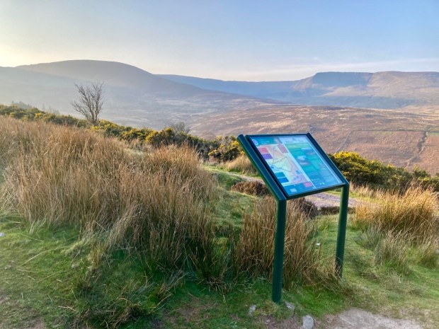
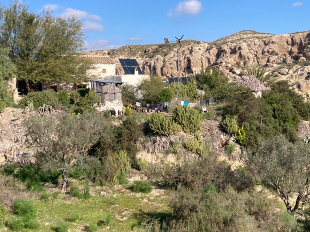
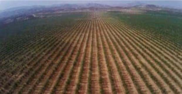
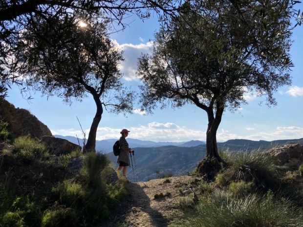
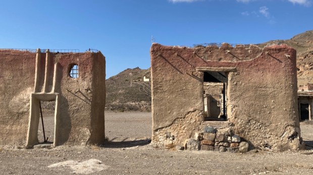
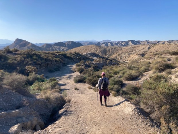
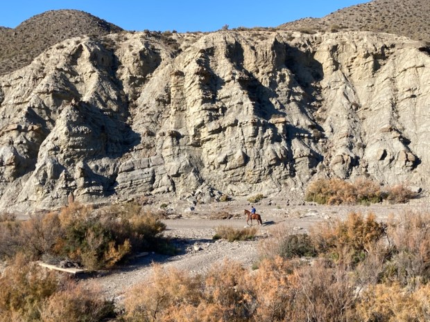
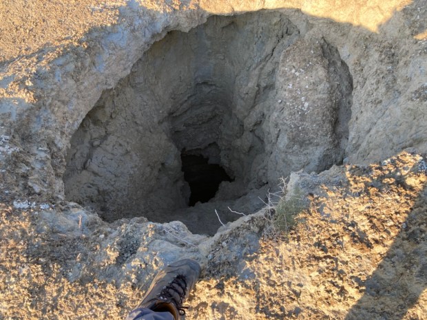
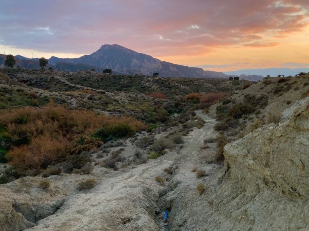
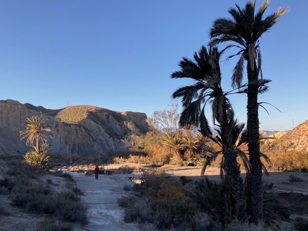
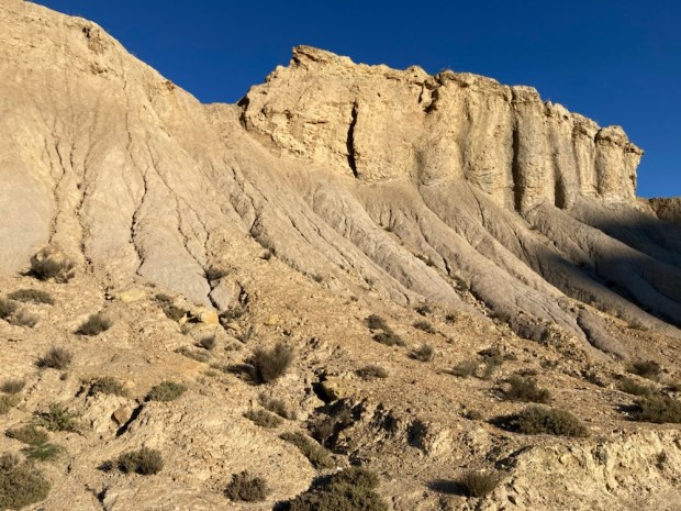
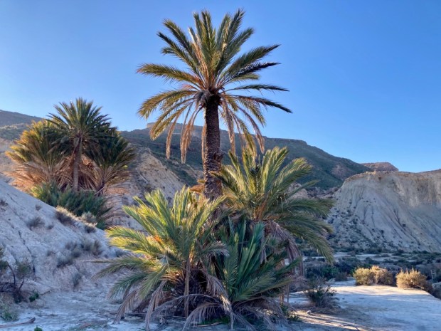
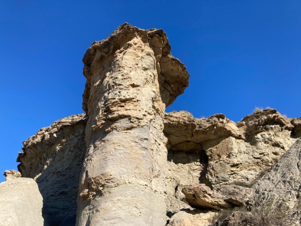
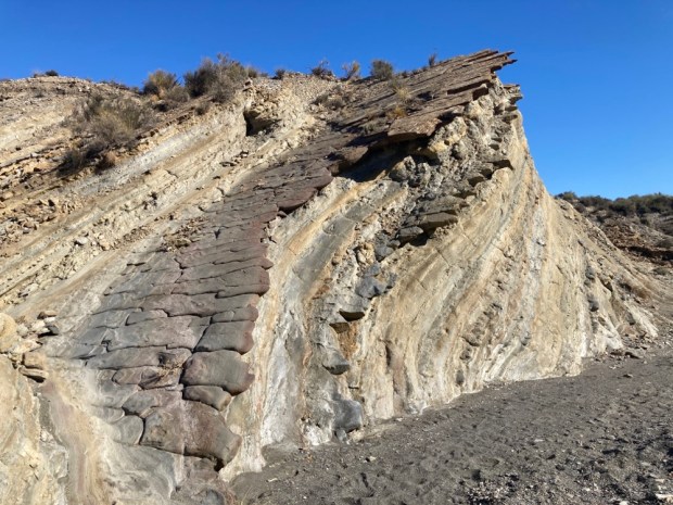
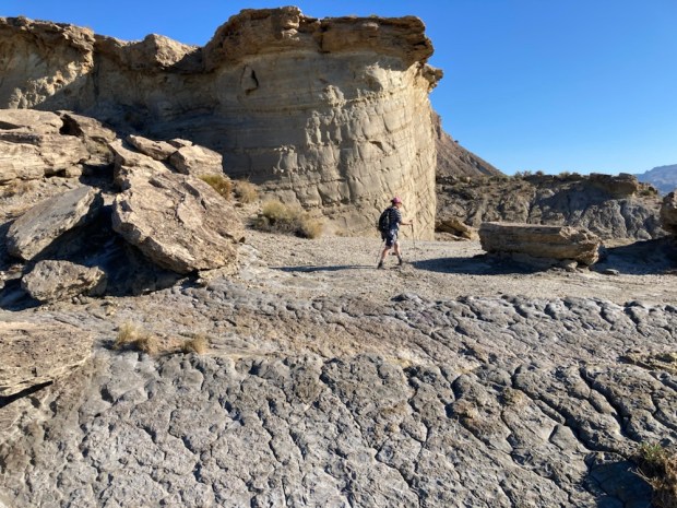
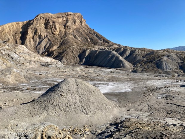
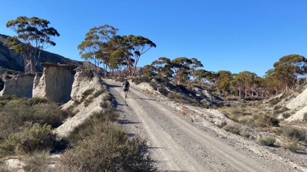
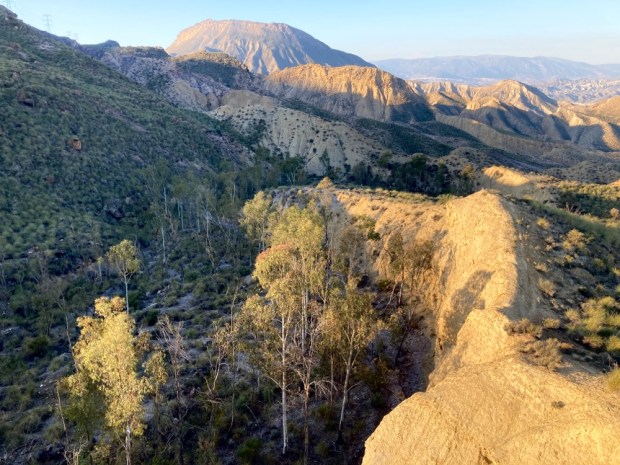
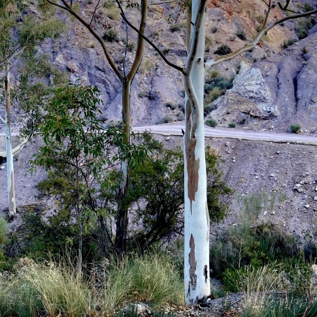
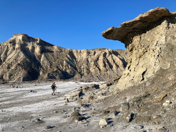
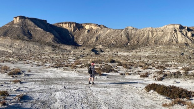
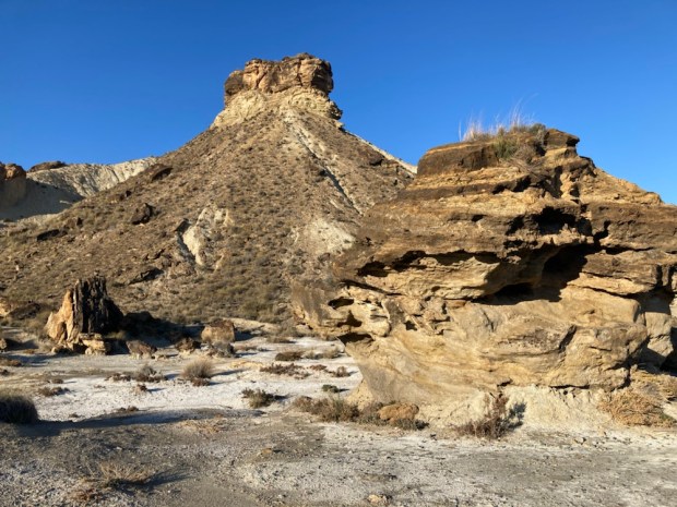
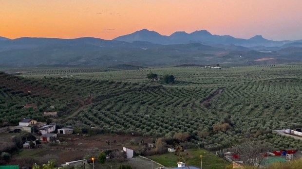
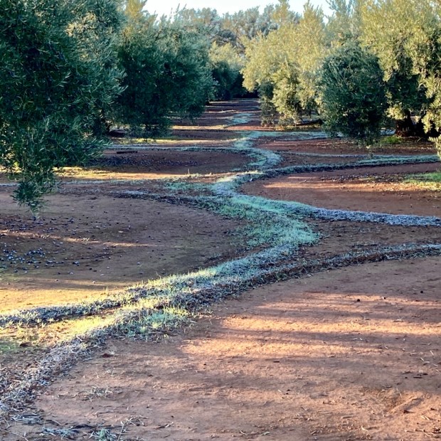
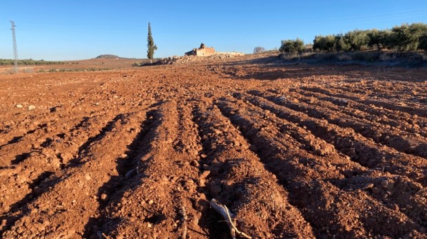
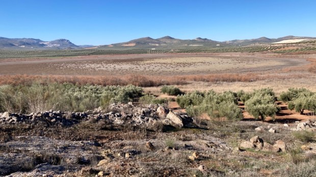
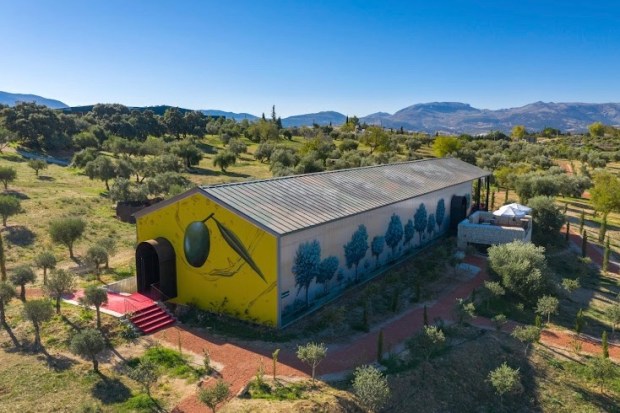
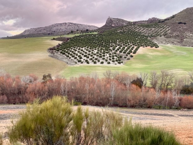
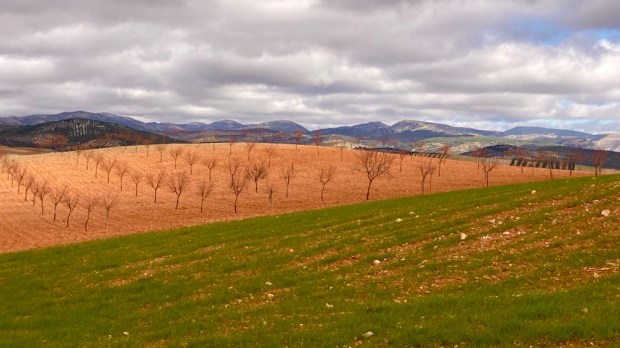
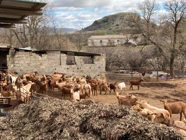
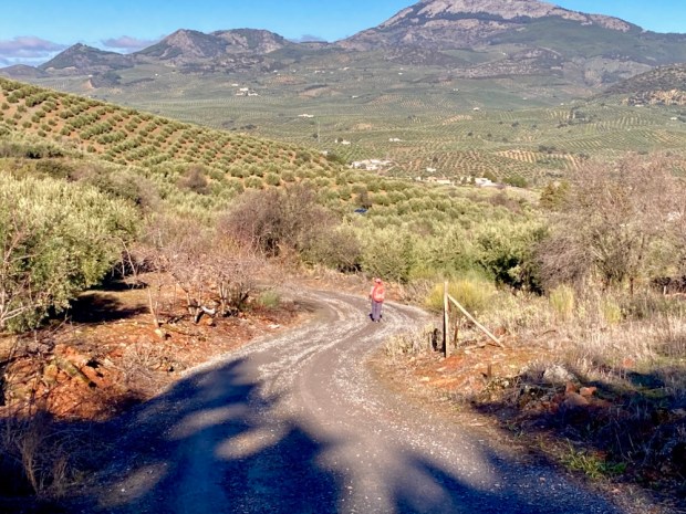
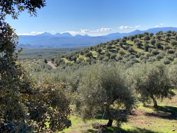
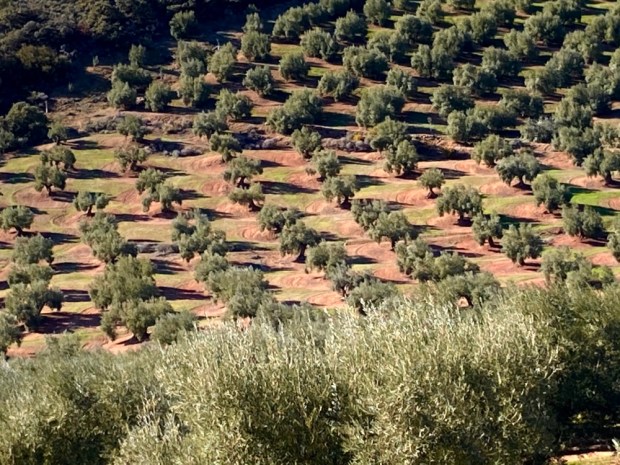
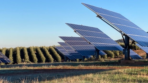
For days we had been walking through a very dry Andalucia and yet the growth of new irrigated plantations continues. The region produces 80% of Spain’s and 30% of global olive oil. 900,000 tonnes a year. Plus 380,000 tonnes of table olives. They take up 85% of the land. 70 million trees- 1.5 million ha- the biggest tree plantation in Europe. The defining historical, cultural, agricultural and economic feature of this huge area of Spain. But there are many danger signs.

Water is running out. Teresa Ribera, Spain’s Ecological Transition Minister says that southern Spain will see a drop of 40% in water resources by 2050 with increases in drought and desertification. Over exploitation of natural aquifers and illegal digging of 500,000 boreholes are leading to disaster. Every effort to control wanton water use is met with fierce and powerful resistance. 50 years ago 5% of olive production was irrigated. In 2015 it was 20.6%. Now it’s 35%. At a time when there is less and less water available.

The temptations are obvious but shortsighted. By irrigating it’s possible to increase yields from 2 -5000 kg/ha to up to 15,000 kg/ha. But studies have shown that it can increase compaction, erosion, loss of organic matter and leaching of nitrates and phosphates into groundwater, 28% of which is now close to or above potability levels. Over half of the olive plantations are on a slope of more than 10 degrees – making them very vulnerable to erosion given the usual clearance of all vegetation around the trees.

So much seemed at stake as we continued on up over sandy lifeless hills and down into dry river valleys, and past empty reservoirs and lagoons. The stark sight of abandoned homesteads seemed a fitting symbol for past and possible future.

The investments in the olive oil industry have been huge – in the grubbing up of old and replanting with new varieties, the machinery and mechanisation of the harvesting and building of new and bigger milling and processing plants. World consumption has skyrocketed and foodie fetishes have developed. In contrast to the industrial and intense mass production of the oil in most kitchens is the El Poaig oil from hand picked olives on the millennial trees of the El Maestrat region of Catalonia and Valencia. The registered and protected ” arboles monumentales”, from 1000 to 2500yr old produce an olive whose oil sells for €160 for a 500 ml bottle.

There are some hopeful signs of change as grant schemes are introduced to support more sustainable methods and the Andalucian regional government has presented a draft ” Law of Olive Groves” with sustainable management as one of its chief targets.

There is a burgeoning Olive Tourism sector with interested people paying for stays on farms, visits to mills, oil treatments in spas, tasting sessions, cooking courses and olive picking “experiences”. They want something authentic, traditional, organic and sustainable. Philippe Starck the designer is promoting this idea in a big way. His company LAOrganic already has a 25 ha Oleotourism attraction outside of Ronda where you can stay and taste and spend and has started building an €11 million organic oil mill there.

Nearing the end of our journey we rested awhile on the Via Verde cycling route on the old railway line overlooking the sadly dry wetland of Laguna del Conde before climbing the last long rise and finally, with the end in sight, passing the belching processing plant we had left 5 days before. Up through the scrubby wastelands of semi developed suburbia and back to our thankfully unmolested camper.

For a finish the next day we visited a remarkable site. Discovered under a hilltop olive grove not far from Baena was the Roman town of Torreparedones. Years of excavation have revealed hidden splendours from 2000 years ago when the Romans were planting olives here and exporting the oil back to Rome in huge quantity. So much that a 50 m hill near the port there was found to be almost entirely made up of 53 million amphora from Spanish oil.! It’s been going on a long time.

One of the remarkable finds was a temple devoted to Iberian/ Roman god Juno where the North/ South axis and clever construction made for mid summer and mid winter noon sunlight displays.

Who knows what lies beneath as you walk the Camino Mozarabe.

CAMINO MOZARABE: Granada to Baena 2

We left Moclin pre dawn, without going the extra metres to explore the fortress or church built on the site of the ancient mosque, and under the watchful gaze of the many Moorish lookout towers perched atop hills for miles around, we descended to the valley below. We past some spectacular via ferrata routes up imposing cliffs and a tranquil fuente and wash house.

We were heading for Alcala la Real, a hike of 22km, through a landscape of rugged rounded hills , wide valleys and high plains all carpeted with olive and fruit trees, fields of grain and grass , crops of asparagus and gardens of lettuce, beans and potato.

It was a chilly start and a cloudier sky than the previous days but walking soon had us stripping off the layers. There was often the buzzing of machinery as the mechanised olive harvest continued and on the couple of sections on the road, the roar of traffic. We had seen the diggings of boar alongside the road and then, unfortunately, a roadkill. But there were also long stretches with just birdsong as we walked through the trees, along the tracks and passed the old ruined cortijos.

At one point near Ermita Nueva we stopped at a prize winning cheese maker and bought a big chunk of his sheep/ goat semi hard. Delicious. He was proud to give me a taste of his “all natural” wine which was also delicious so of course I bought a 2l bottle and left the place with a pack 2kg heavier. Just down the road we passed his brothers herd of goats, munching contentedly on olive leaf and twig- an unwanted byproduct of the harvest. In need of a rest and food and stimulants we tried a short cut to a garage/cafe/bar on the main road. All good until the final few metres when a deep and stinking arroyo blocked our way to nirvana. Nothing for it but to force our way through a jungle of king brambles and clamber over the ditch using fallen trees. And enjoy a brandy coffee.

Later we passed a massive solar farm under construction and looking back at it we saw our last view of the snow clad Sierra Nevada. And then on weary legs we were into the outskirts of Alcala, drawn towards the imposing castle and our room. Later on we hit the streets. It was Three Kings night. The next day was Epithany, a public holiday, and there was merriment to be had.

Another early start in the gloaming next morning with 23.5 km to do to Alcaudete. A rash of roadside crosses to start and then, as the day warmed up under blue skies, more tracks and trails through the multitude of olive formation planting. Driving through the area you might conclude that it was an homogenous, monotonous monoculture but at walking speed the differences in the details make for great variety of view and terrain.

It was sad to see the erosion of the soft sandy soils and sad to see the dying prickly pear but otherwise it was a beautiful days hike. We got to Alcaudete worried that we’d have no food again with all shops and restaurants shut for the holiday but just before our room was a fine bar and fine food. Fed and watered we could retire to our room and admire the view of the castle.